A Maritime Time Capsule
Archaeologists have identified 134 shipwrecks in the Bay of Gibraltar, revealing an extraordinary record of Mediterranean history. The discoveries include 23 Roman-period vessels, alongside wrecks dating from the Punic era through the Second World War. Together, they trace roughly 2,500 years of trade, travel, conflict, and life at sea.
One Bay With Two Familiar Names
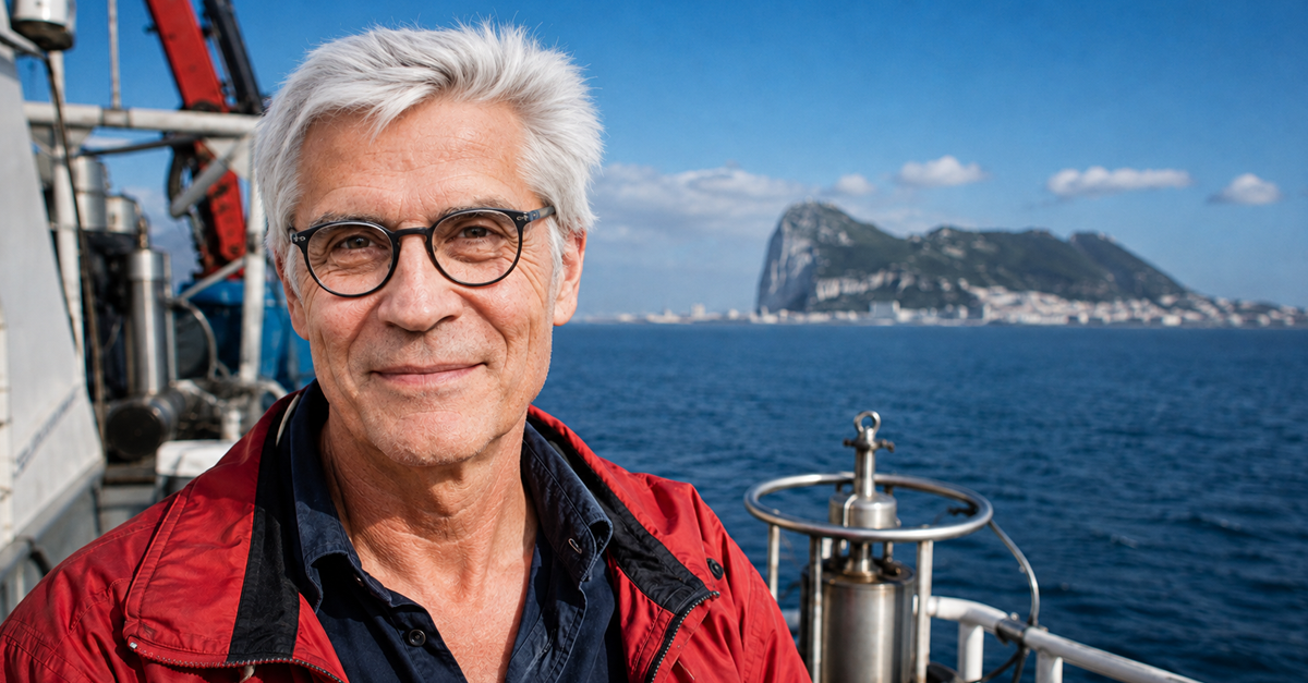
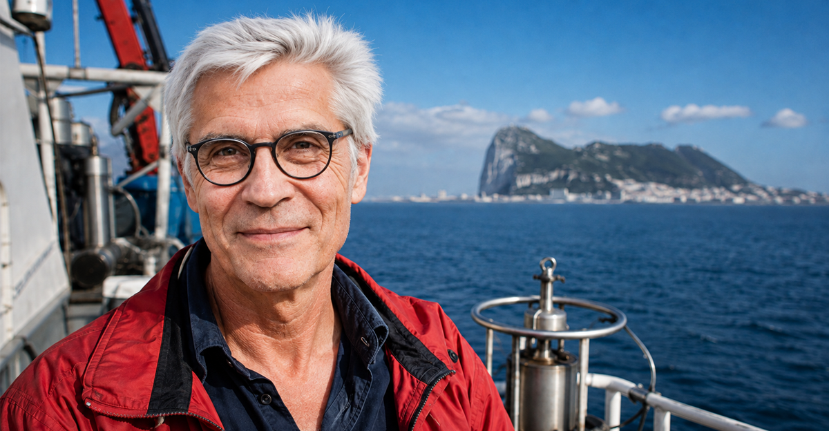
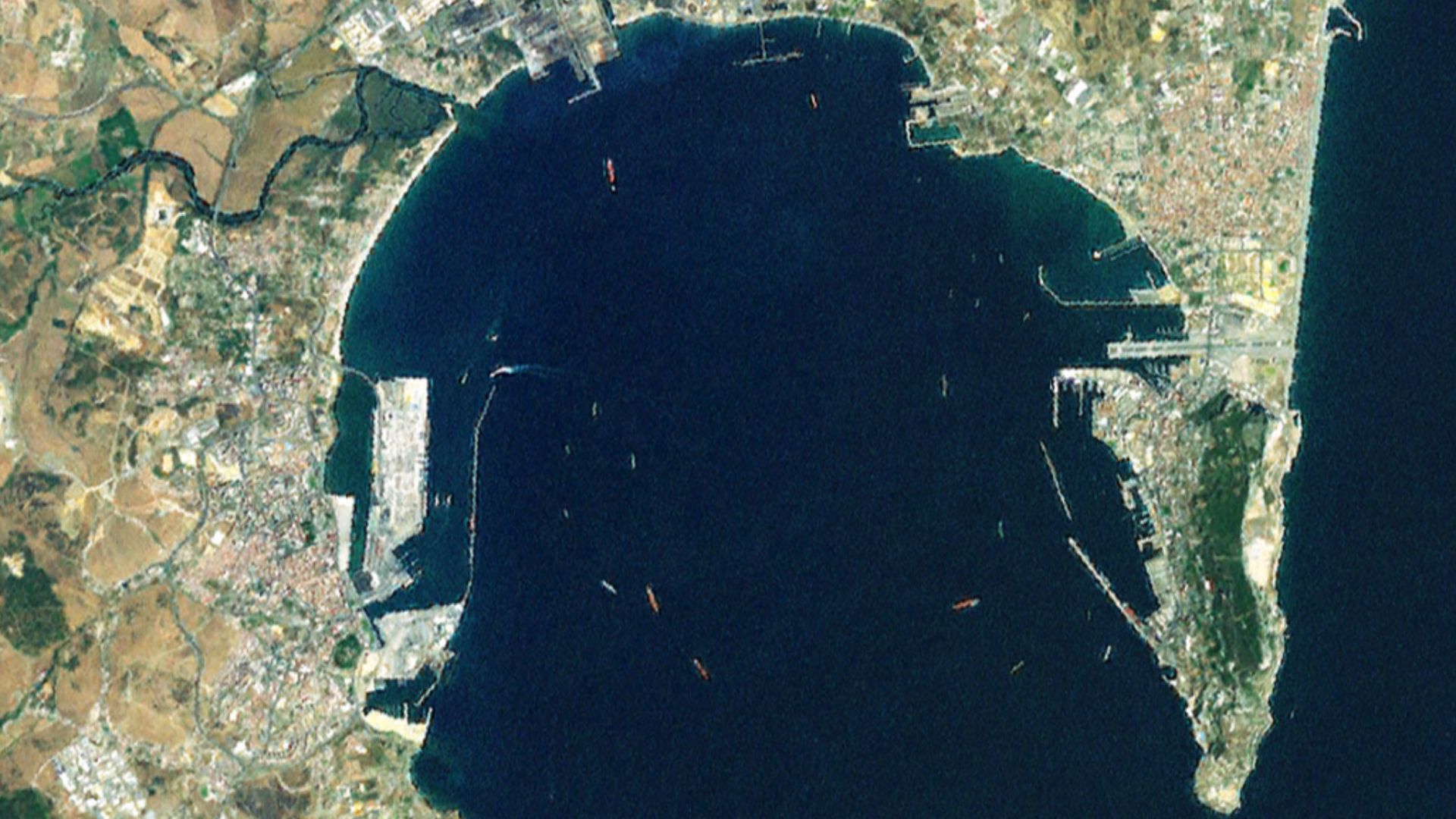
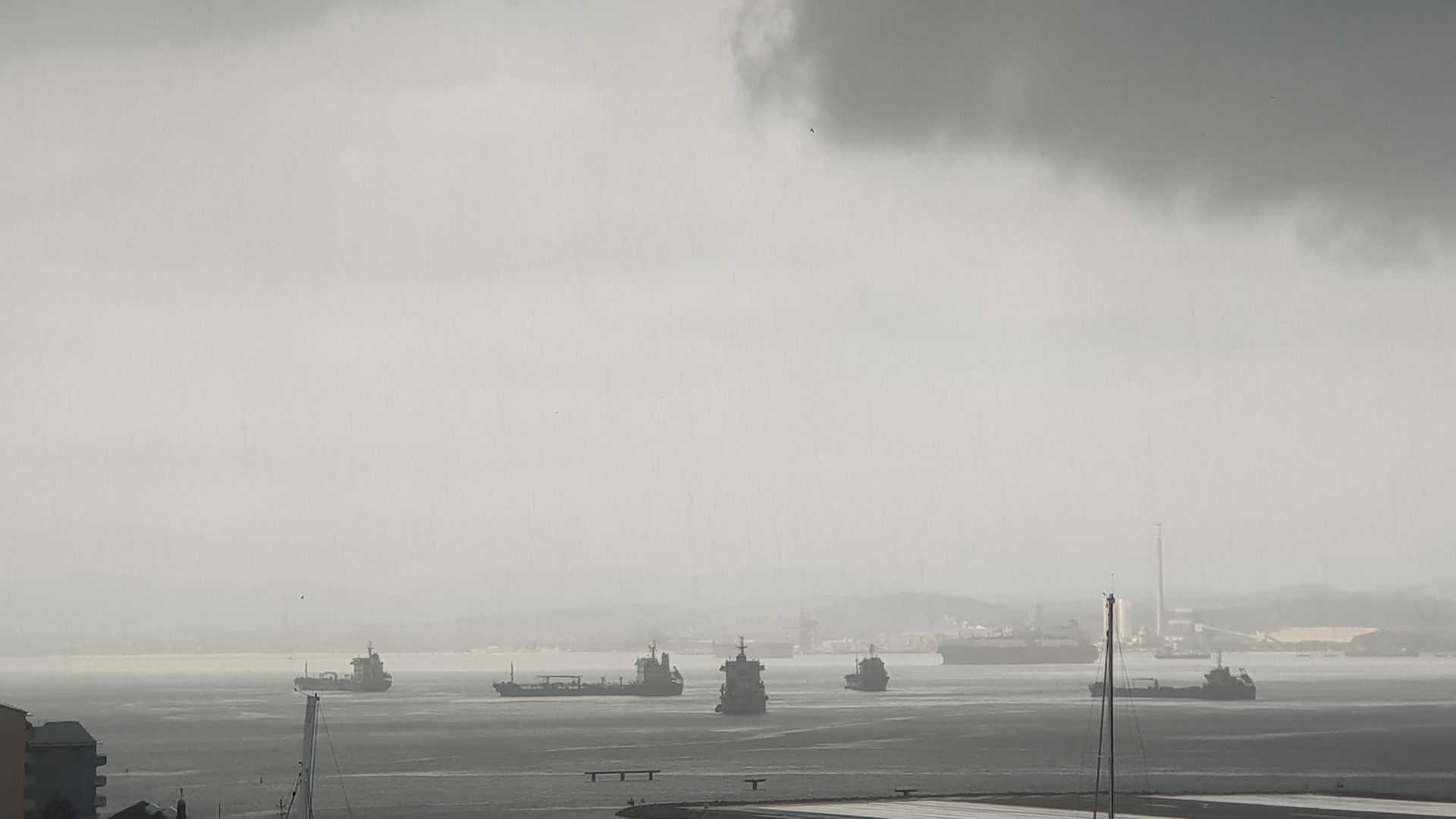
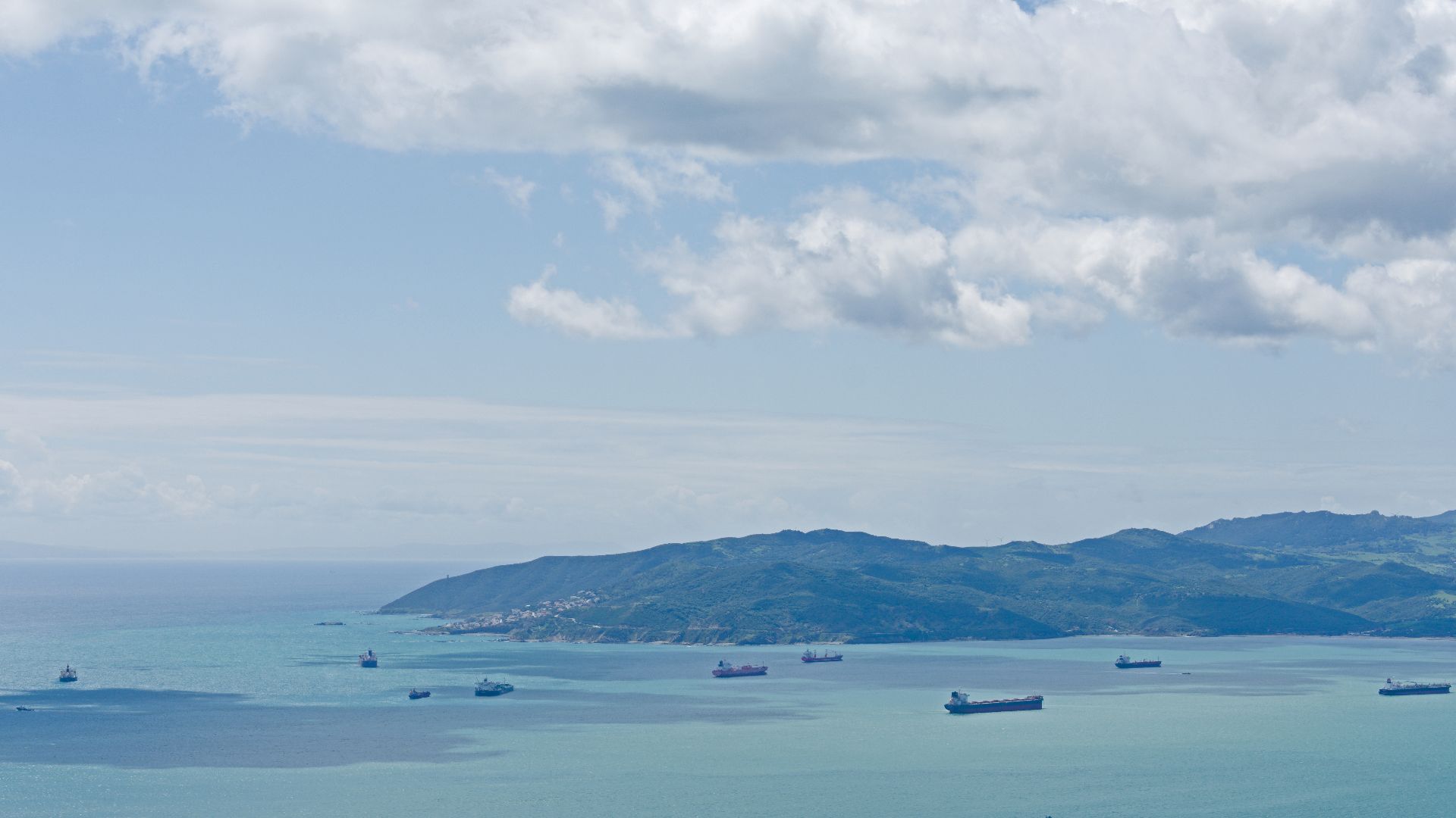
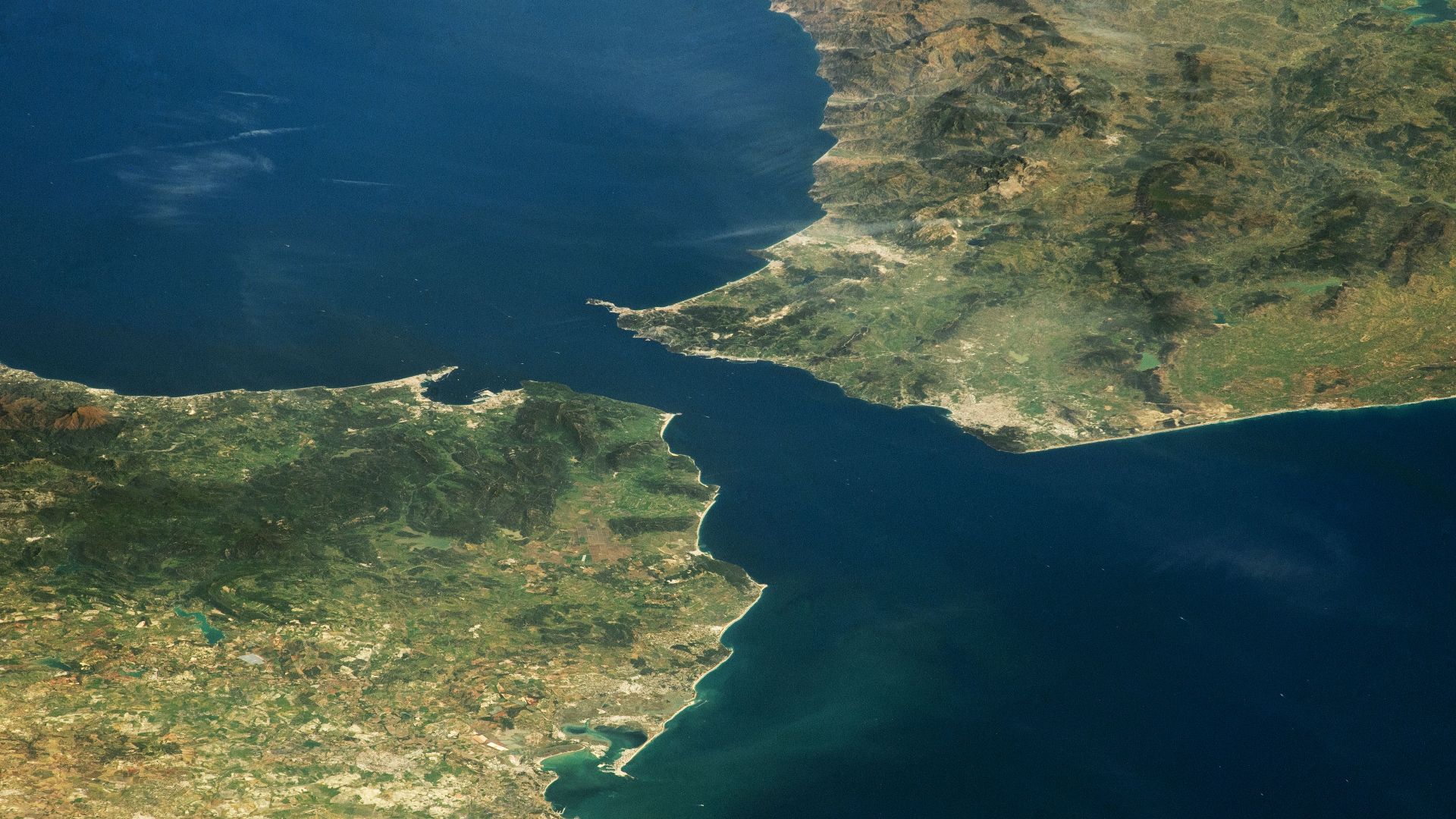
The body of water is called the Bay of Algeciras in Spain and is commonly known to English speakers as the Bay of Gibraltar. It curves between the Spanish port of Algeciras and the Rock of Gibraltar. The bay sits beside the narrow strait separating southern Europe from northern Africa.
Project Herakles Takes The Plunge
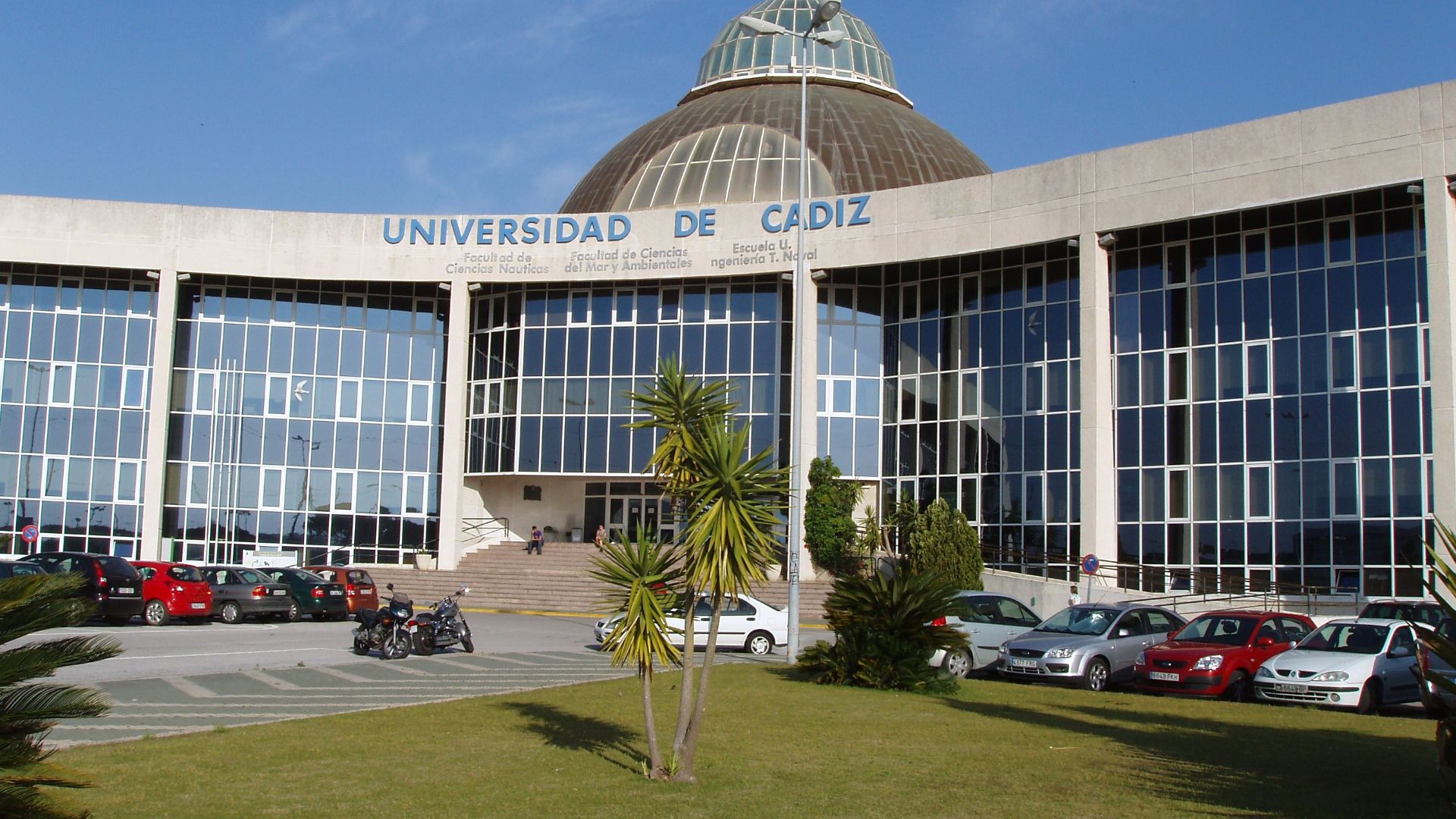
The discoveries came through Project Herakles, a three-year investigation led by the University of Cádiz. Fieldwork ran from May 2020 until March 2023, with researchers from several institutions contributing expertise. The project sought to create a detailed inventory of the bay’s overlooked underwater heritage.
 Emilio J. Rodríguez Posada, Wikimedia Commons
The Numbers Are Staggering
Researchers identified 151 underwater archaeological sites during the project. Reporting on the results classified 134 of those sites as shipwrecks. The remaining evidence includes historic anchorage areas and isolated objects connected to centuries of maritime activity.
Thirty-Four Wrecks Get A Closer Look
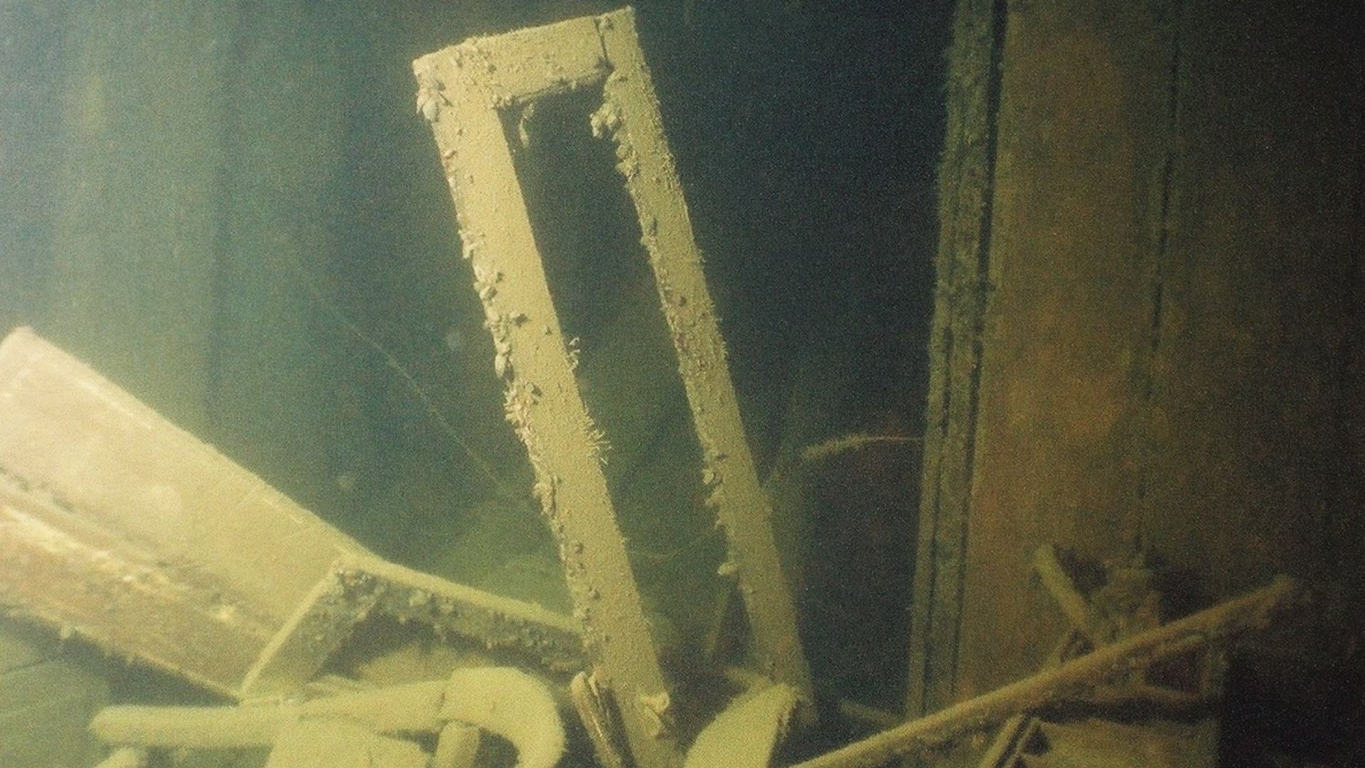
Locating a possible wreck does not mean archaeologists have completely excavated it. The team has documented 34 wrecks in detail, examining their age, construction, condition, and historical setting. Many of the other locations are waiting for future research campaigns.
 Peeprada at English Wikipedia, Wikimedia Commons
Many Wrecks Were Surprisingly Shallow
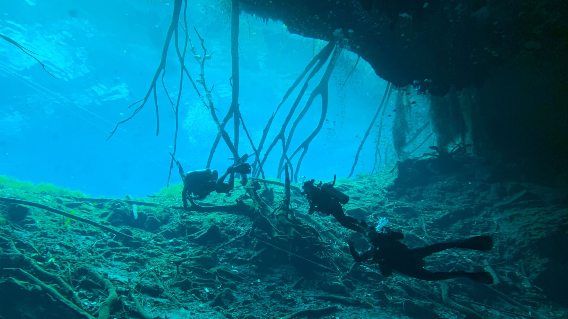
Most discoveries were made in water less than 33 feet deep. Researchers sometimes entered directly from the shore and worked at depths of only 13 to 26 feet. More than 80 archaeological sites were located exposed on the seabed during these shallow-water surveys.
Technology Maps The Seafloor
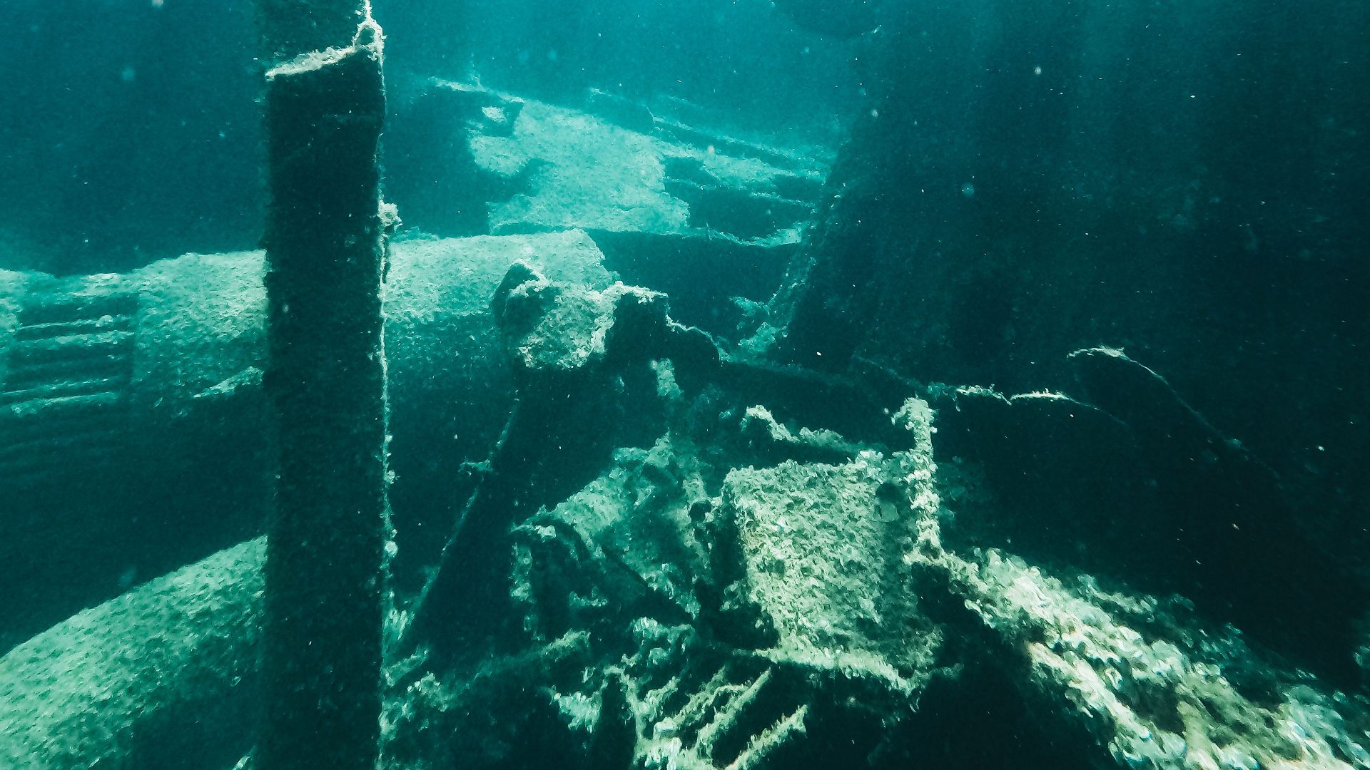
The project combined traditional diving with underwater photogrammetry, 360-degree video, digital mapping, and three-dimensional modeling. The Spanish Navy’s Hydrographic Institute also helped survey more than four square miles of seabed. Its multibeam sonar produced highly detailed images that revealed unusual shapes requiring closer investigation.
The Oldest Wreck Reaches Back 2,500 Years
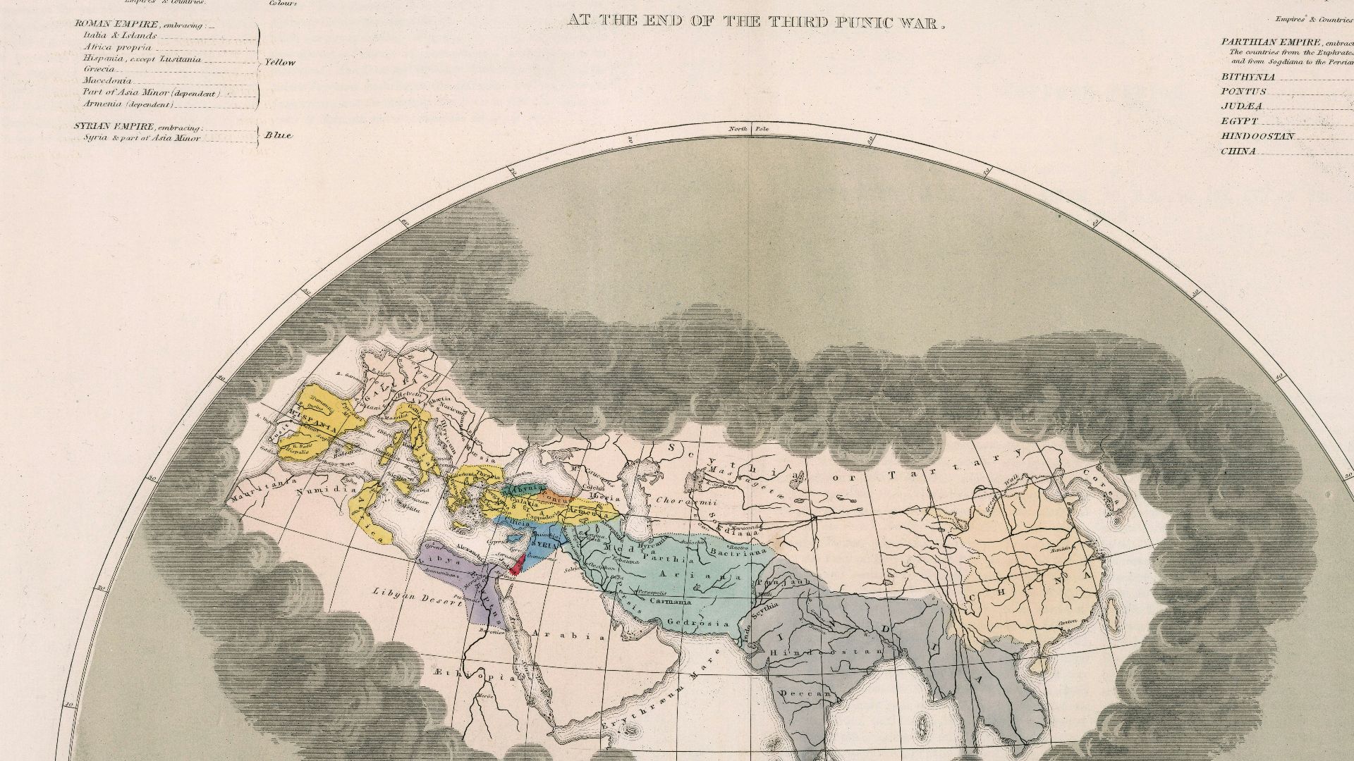
The earliest wreck identified by the project is known as Timoncillo I. It dates to the fifth century BCE, placing it within the Punic period. Its survival gives archaeologists physical evidence of seafaring in the bay long before the Roman Empire reached its height.
 Quin, Edward
Hughes, W., Wikimedia Commons
Quin, Edward
Hughes, W., Wikimedia Commons
Punic Sailors Came First
Timoncillo I was not the project’s only evidence of Punic activity. Researchers identified six additional sites associated with the same broad period. These remains support the view that the bay was already an active maritime corridor in antiquity.
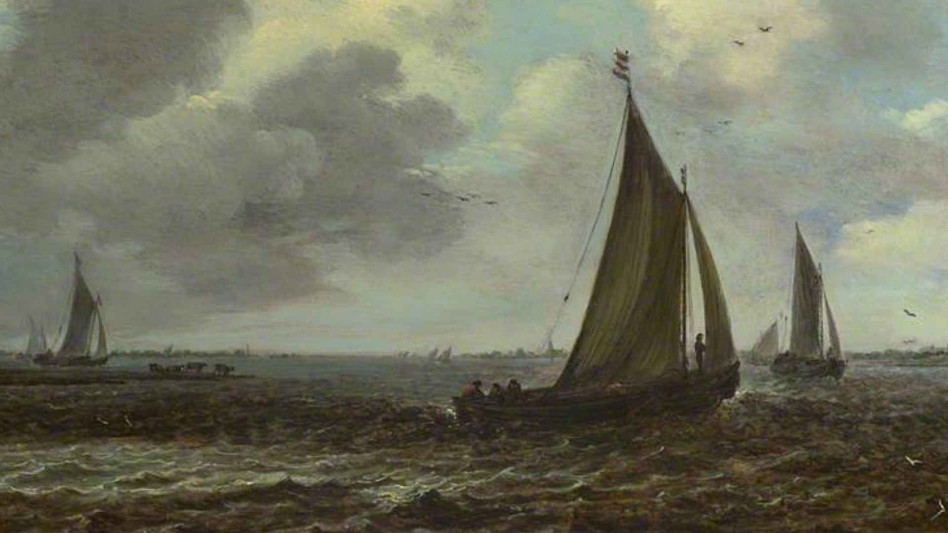 Jan van Goyen, Wikimedia Commons
Roman Ships Dominate The Ancient Record
The team identified 23 sites dating to the Roman period, making them the largest documented ancient group. Rome depended heavily on ships to move food, raw materials, soldiers, and manufactured goods across its territories. The wrecks can therefore help researchers understand how regional ports connected with wider imperial networks.
![Illustrated school history of the world, from the earliest ages to the present time:
by Quackenbos, John D. (John Duncan), 1848-1926
Published 1904
SHOW MORE
1 History--Outlines, syllabi, etc
Publisher New York, Cincinnati [etc.] American book company
Pag](https://www.factinate.com/storage/app/media/splashtravels/2026/8/20/17872171871d9d72c244ebbf24a9680f756801834459a0bce0.jpg) New York, Cincinnati [etc.] American book company, Wikimedia Commons
New York, Cincinnati [etc.] American book company, Wikimedia Commons
Late Roman Wrecks Fill A Gap
Two additional wrecks were assigned to the late Roman period. One of them, known as El Anclote, has received a dedicated academic study. Such discoveries are valuable because the transition between late antiquity and the early Middle Ages remains poorly represented in southern Iberian underwater archaeology.
An Anchorage Used For Millennia
Several Roman sites cluster near ancient Carteia, once an important port close to the Guadarranque River. Archaeological material indicates that the area between the river mouth and Puente Mayorga functioned as an anchorage from at least the fourth century BC. Ships have continued using this section of the bay for more than 2,400 years.
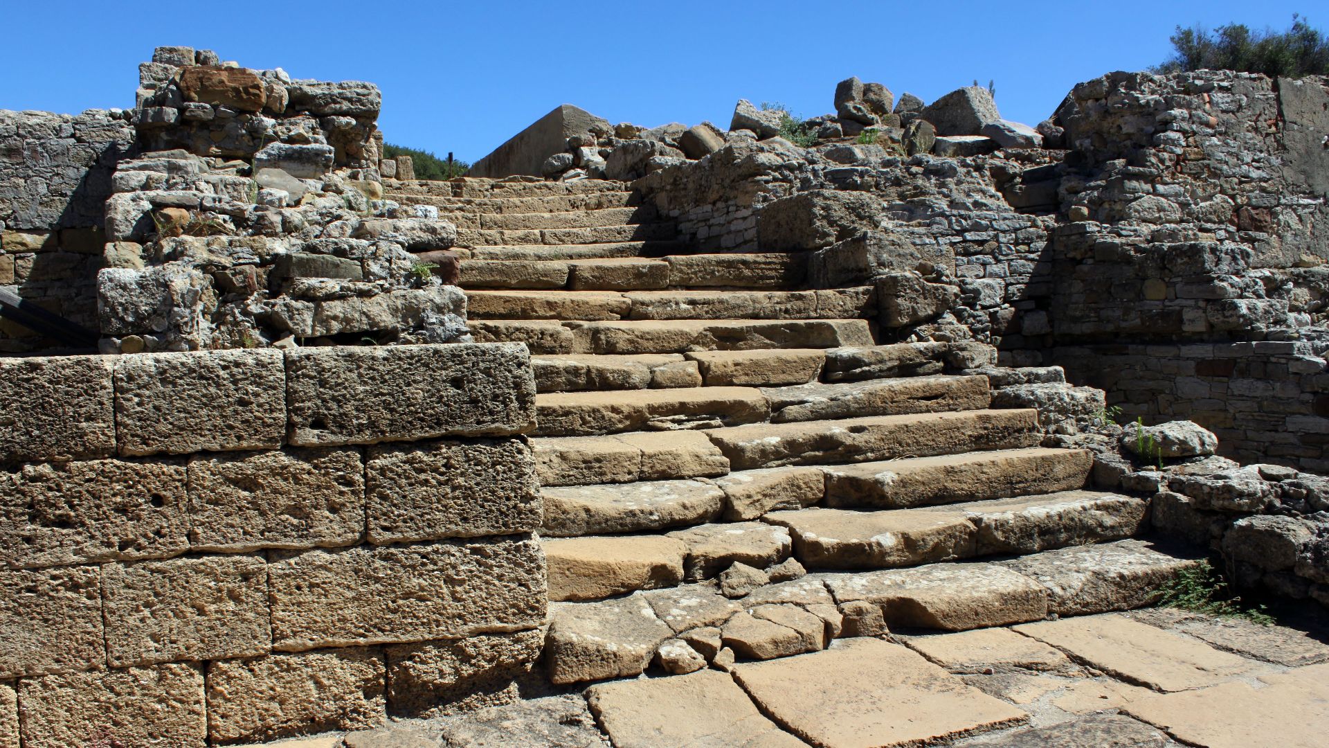 Falconaumanni, Wikimedia Commons
Medieval Wrecks Add Another Chapter
Researchers also identified four wrecks from the medieval period. Three are particularly promising for the study of sailing during the final centuries of Islamic rule in southern Spain. Physical remains of medieval vessels are scarce, so even incomplete hulls can reveal important construction details.
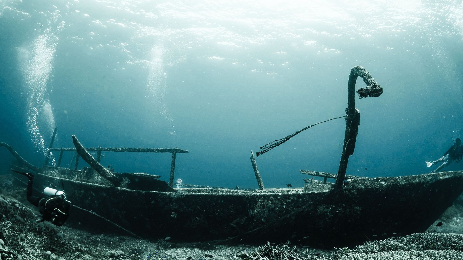
A Possible Merinid Vessel
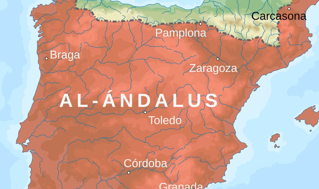
One medieval wreck near El Rinconcillo may date to the Merinid period. The Merinids were a North African Berber dynasty that controlled much of the Maghreb between the 13th and 15th centuries. They repeatedly crossed the Strait of Gibraltar during military and commercial involvement in al-Andalus.
 rowanwindwhistler, WIkimedia Commons
The Early Modern Fleet Emerges
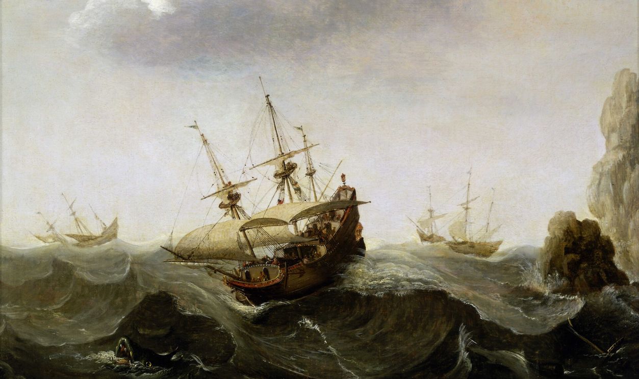
Another 24 wrecks date from the 16th through the 18th centuries. This was an era of expanding oceanic trade, changing naval technology, and frequent competition among European powers. Large vessels from the 16th and 17th centuries are among the ships located by the team.
 Cornelis Verbeeck, Wikimedia Commons
Ships Arrived From Across Europe
The wrecks include vessels associated with Spain, Britain, the Netherlands, and Venice. Their variety reflects the strait’s role as the entrance to the Mediterranean from the Atlantic. Ships traveling between northern Europe, Africa, the Americas, and Mediterranean ports repeatedly passed through these waters.
 Hendrick Cornelisz Vroom, Wikimedia Commons
Gibraltar Became A Battleground
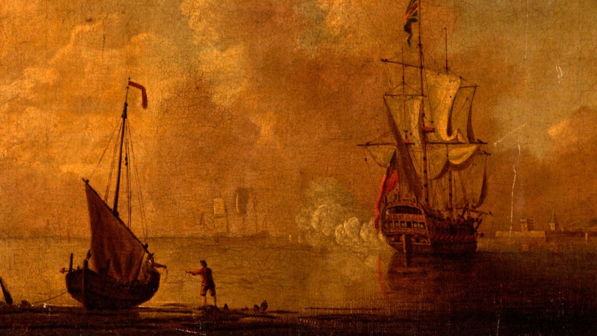
The strategic value of Gibraltar also made the bay a setting for repeated naval conflict. Britain captured the Rock in 1704, and Spain launched several attempts to regain it. The Great Siege of Gibraltar from 1779 to 1783 was one of the most significant confrontations in that long struggle.
A Rare Spanish Gunboat
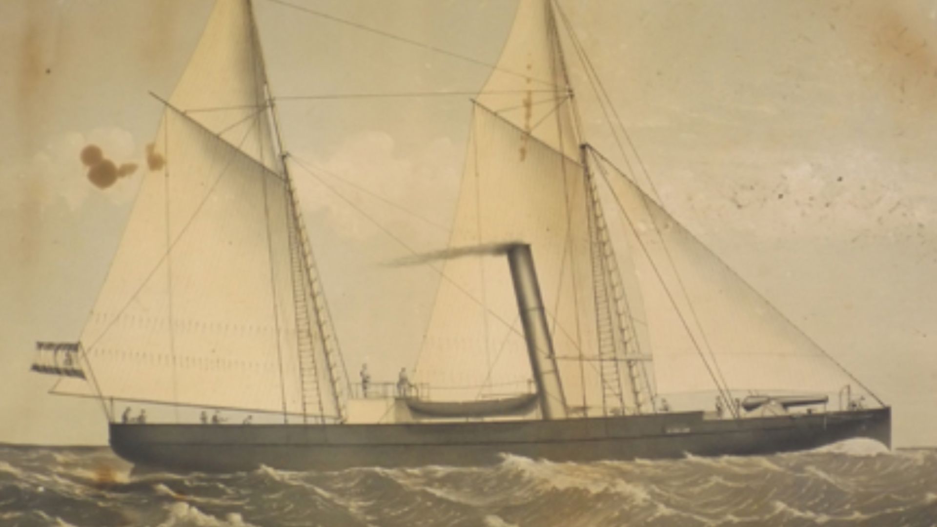
One of the project’s standout wrecks is Puente Mayorga IV, a small Spanish gunboat from the late 18th or early 19th century. These shallow-draft vessels carried one or two heavy guns and could operate close to shore. Few archaeological examples of this type of attack craft survive.
 Endicott & Co., Wikimedia Commons
Disguised As A Fishing Boat
Spanish gunboats sometimes approached British warships while disguised as fishing vessels. Crews could cast off their nets and fire a cannon mounted near the bow. Their small size and mobility made them useful for fast attacks around Gibraltar.
 Peter Monamy, Wikimedia Commons
The Project’s Only Full Excavation
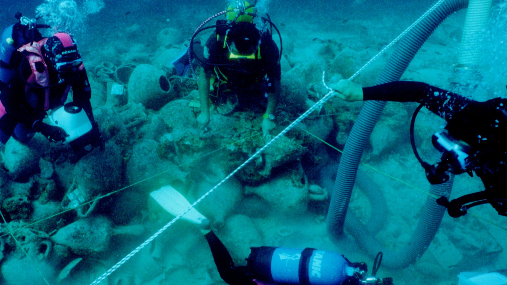
Puente Mayorga IV was the only Project Herakles site selected for a systematic archaeological excavation. Researchers mapped its structure, created a photogrammetric model, and collected wood samples. Growth-ring analysis may help determine when the timbers were cut and where the wood originated.
 Elpida Hadjidaki, Wikimedia Commons
A Supposed Spy Kit Held Combs
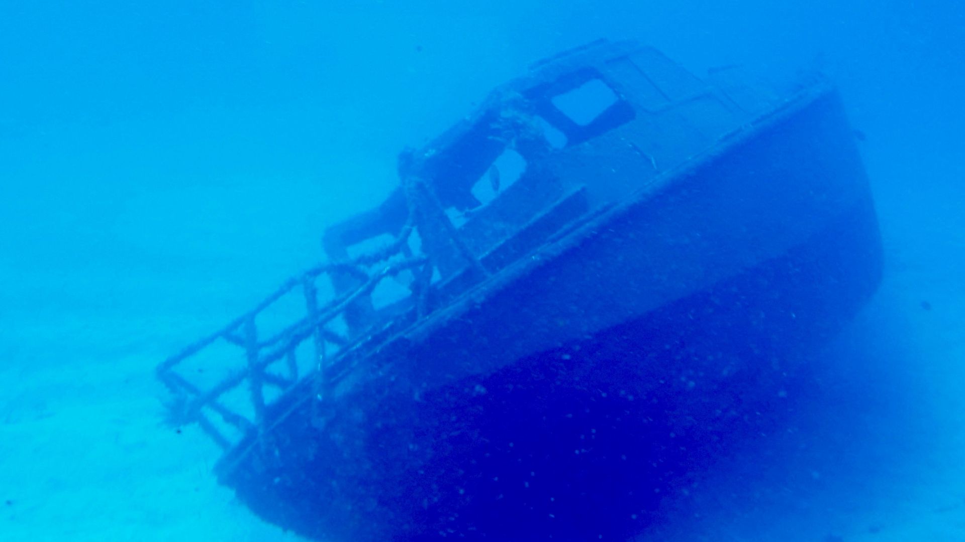
The gunboat also produced one of the project’s most memorable objects. Archaeologists found a preserved wooden box shaped like a book and initially wondered whether it had concealed military documents. Careful examination revealed that it contained two wooden combs instead.
The Collection Includes An Aircraft
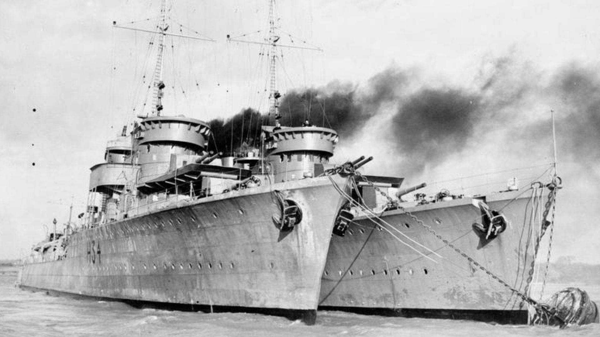
Not everything identified beneath the bay came from a ship. Researchers also recorded the engine and propeller of an airplane dating from the 1930s. The project’s overall timeline continues through wrecks connected with the Second World War.
 Fox Photos photographer, Wikimedia Commons
Archives Reveal Thousands More Losses
Underwater work was paired with a major search of archives, museums, maps, and historical photographs. The resulting database contains records of more than 2,000 maritime accidents in the Algeciras area between the late 18th century and the Second World War. Those records suggest that many more wrecks could remain undiscovered.
![[bottom, below title:] To Sir James Saumarez Bar.t this View of his putting to Sea on the 12.th July 1801, with five sail of the Line and one Frigate, in the face of an Enemy, consisting of ten sail of the Line, two of which were of 112 Guns each; / with](https://www.factinate.com/storage/app/media/splashtravels/2026/8/20/17872194563694fa0d8268de04e6491a6650b91c6c005fdb64.jpg) Robert Dodd, Wikimedia Commons
Robert Dodd, Wikimedia Commons
Most Lost Ships Were Merchants
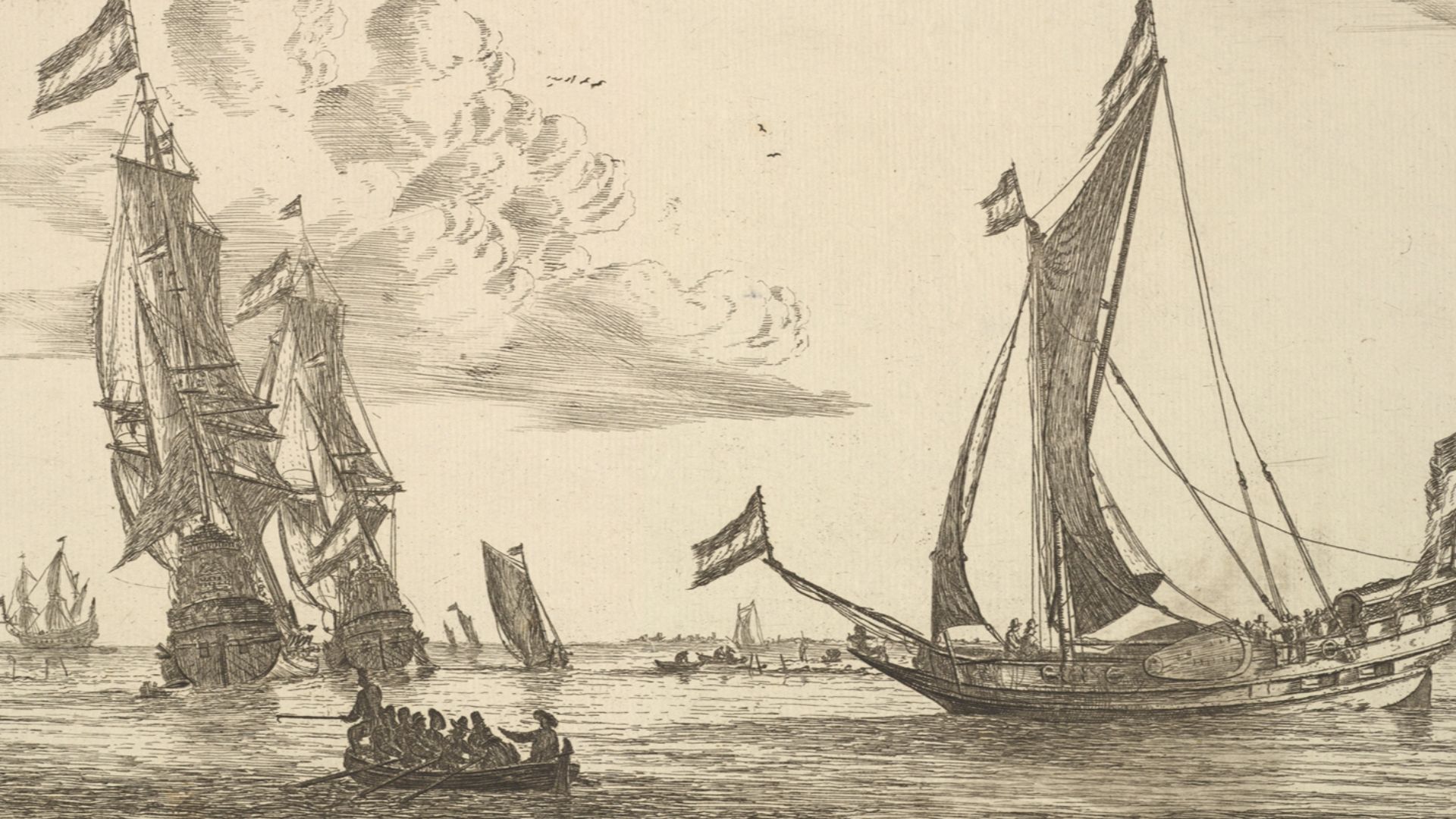
Warships may attract attention, but commercial vessels dominate the archival record. Researchers found that 81 percent of the recorded accidents involved merchant ships. The figure reflects the bay’s greater everyday role as a center of trade, transport, and cross-strait travel.
 Reinier Nooms, Wikimedia Commons
Geography Explains The Crowded Seabed
The Strait of Gibraltar is a natural bottleneck between the Mediterranean and Atlantic. Ships crossing it often waited in the bay for winds, currents, or weather to improve. That combination of heavy traffic, exposed waters, and military importance helps explain the remarkable concentration of wrecks.
 NASA/NASA Earth Observatory, Wikimedia Commons
The Sites Face Modern Threats
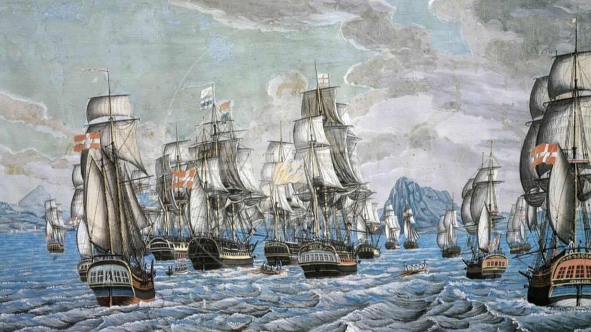
Many remains are vulnerable to dredging, anchoring, dock construction, industrial development, and erosion. Researchers found that 44 percent of the documented underwater heritage needed immediate attention or further protection. Only about 23 percent of the bay’s surface was examined, leaving deeper areas largely unexplored.
 C. C. Parnemann, Wikimedia Commons
An Invasive Alga Complicates The Work
The invasive Asian alga Rugulopteryx okamurae has spread through the Strait of Gibraltar since it was documented there in 2015. It can cover rocky seabeds and grow over other marine life, altering underwater habitats. Project researchers have also observed it spreading across sections of the bay and obscuring archaeological remains.
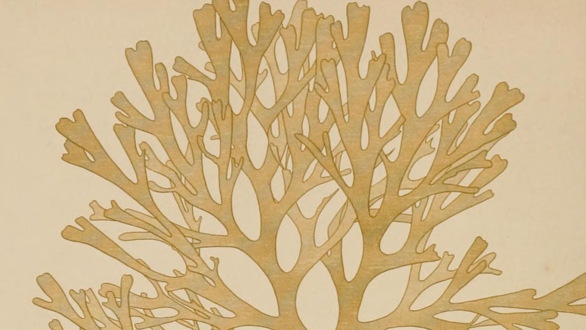 Okamura, Kintaro, Wikimedia Commons
A Submerged Story Still Unfolding
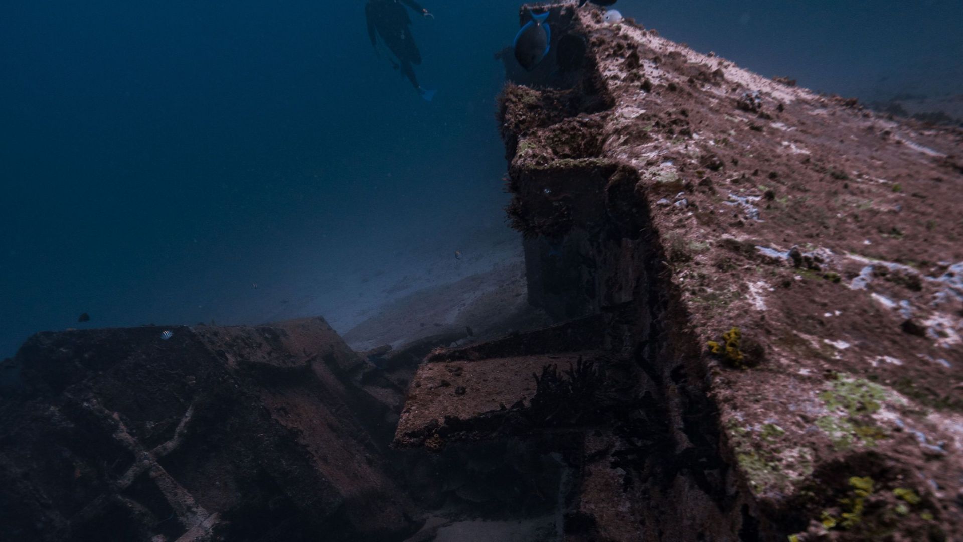
The team has created virtual models and 360-degree videos so nondivers can explore selected sites from dry land. Plans have also considered a visitable underwater archaeological area near Getares, although protecting the wrecks remains the priority. With most of the bay still awaiting investigation, the 134 known shipwrecks may represent only the beginning of Gibraltar’s submerged story.
You May Also Like:
Archaeologists Discovered Shipwrecks In The Bahamas Linked To The Real Pirates Of The Caribbean