A Lost Landscape Comes Back Into View
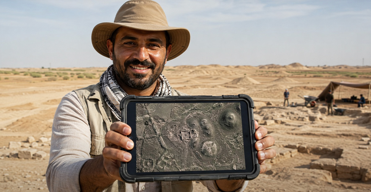
Central Iraq has changed dramatically in just a few generations, but an unusual partnership has found a way to look behind that change. Researchers combined artificial intelligence with declassified CORONA spy-satellite photographs and identified four archaeological sites that had slipped past earlier surveys.
Archaeology Meets The Cold War
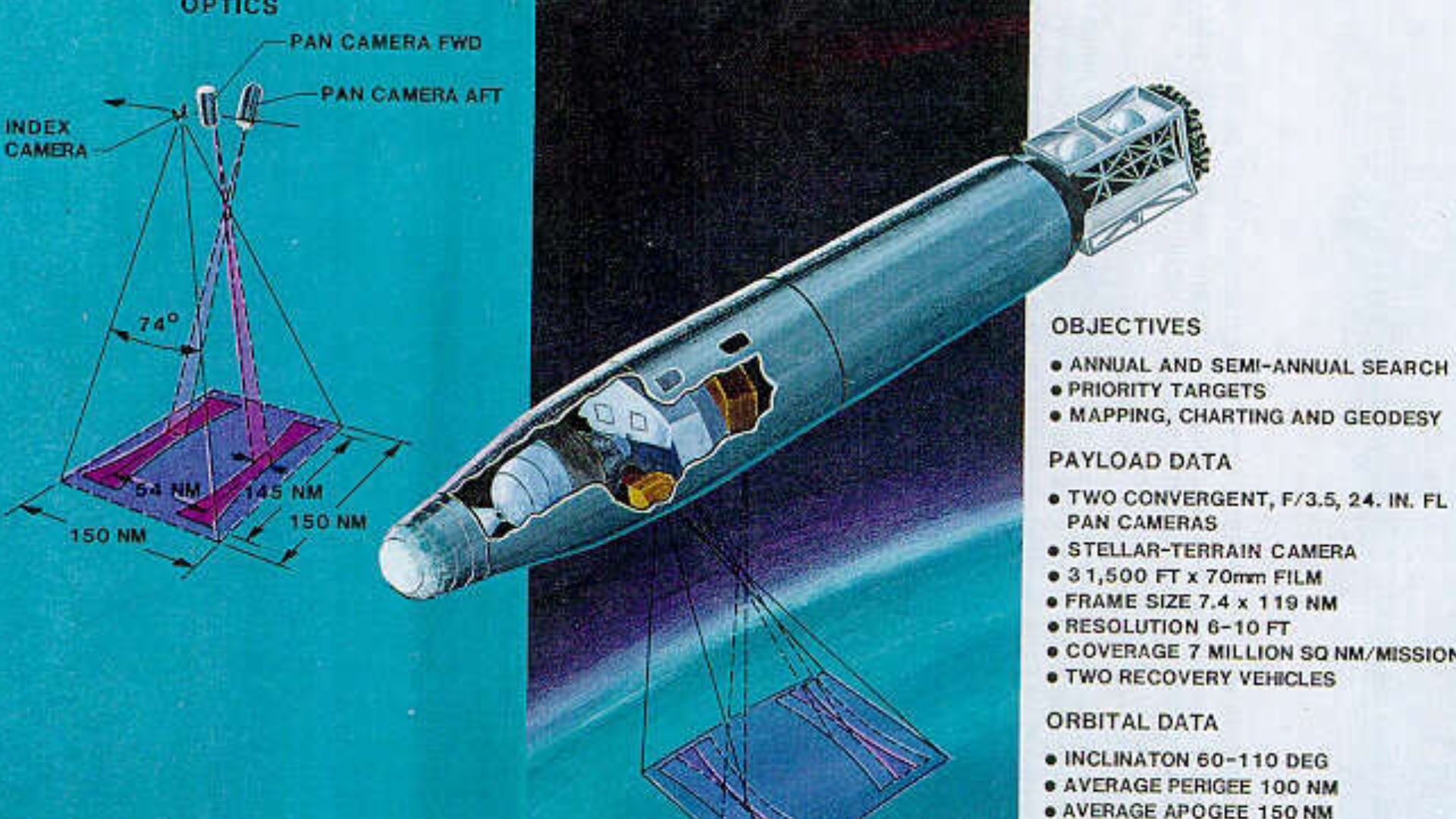
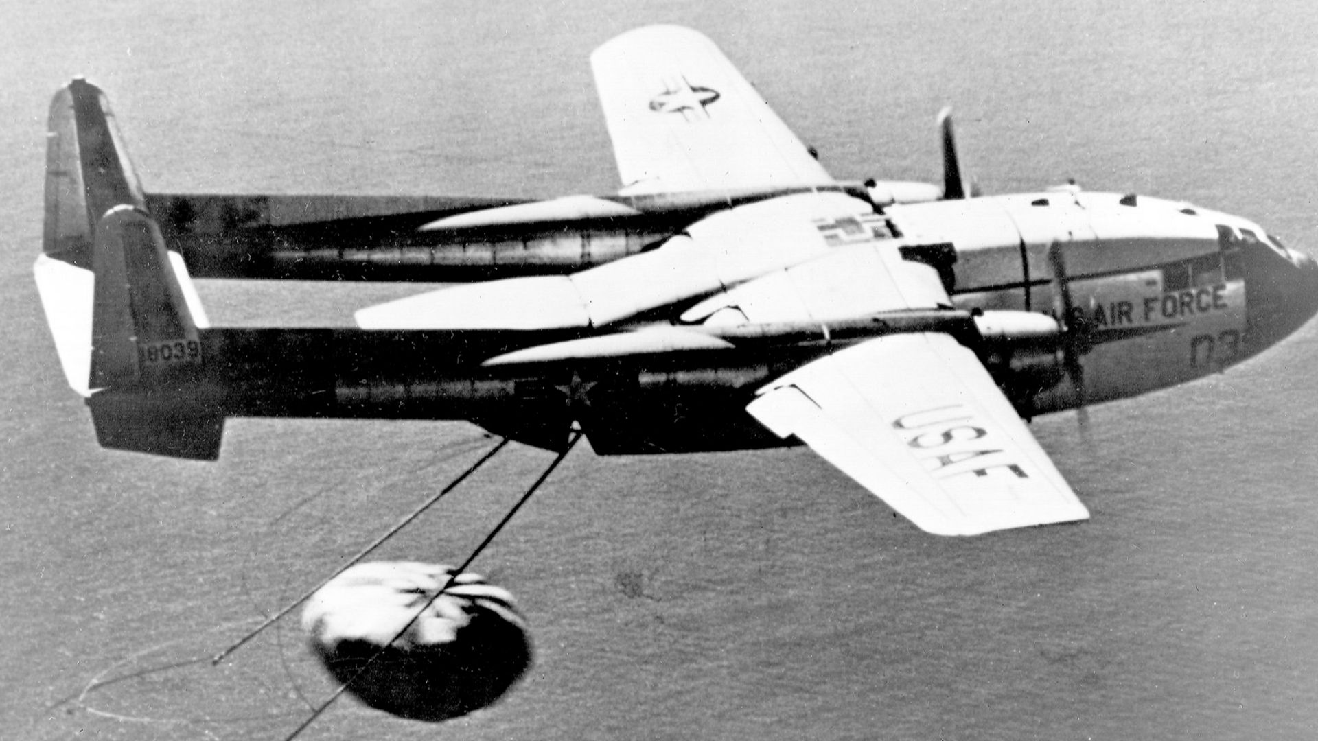
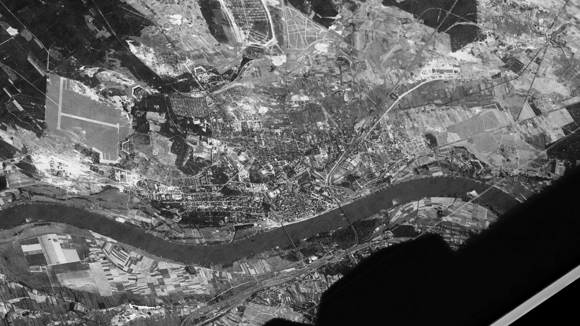
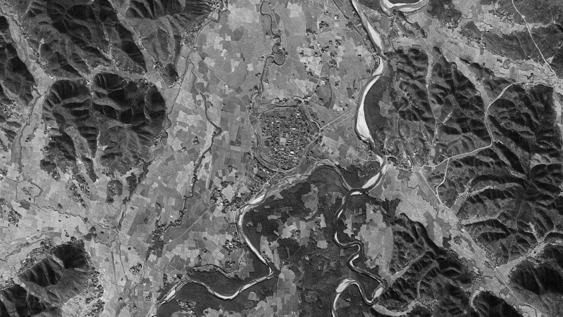
CORONA was created for espionage, not archaeology. American satellites photographed strategic regions during the 1960s and early 1970s, producing black-and-white images of landscapes around the world. Decades later, those once-secret pictures have become unexpected time capsules for researchers studying the ancient Middle East.
Looking West Of Baghdad
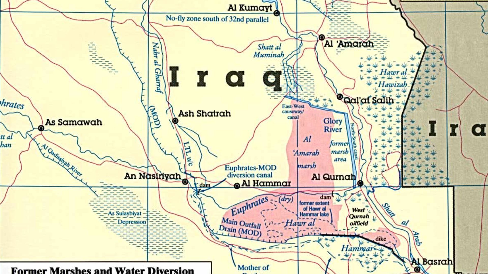
The team focused on the Abu Ghraib district, west of Baghdad, near the northwestern edge of the Mesopotamian floodplain. It is a historically important setting, yet the area had never received the kind of systematic archaeological investigation carried out in better-known parts of Iraq.
Modern Change Had Covered The Clues
Roads, buildings, expanding farms, irrigation, and other human activity have reshaped the district. A mound visible from above in the 1960s may now be flattened, built over, or blended into cultivated land. On modern maps, some traces have simply disappeared.
 File Upload Bot (Magnus Manske), Wikimedia Commons
Why Old Pictures Matter
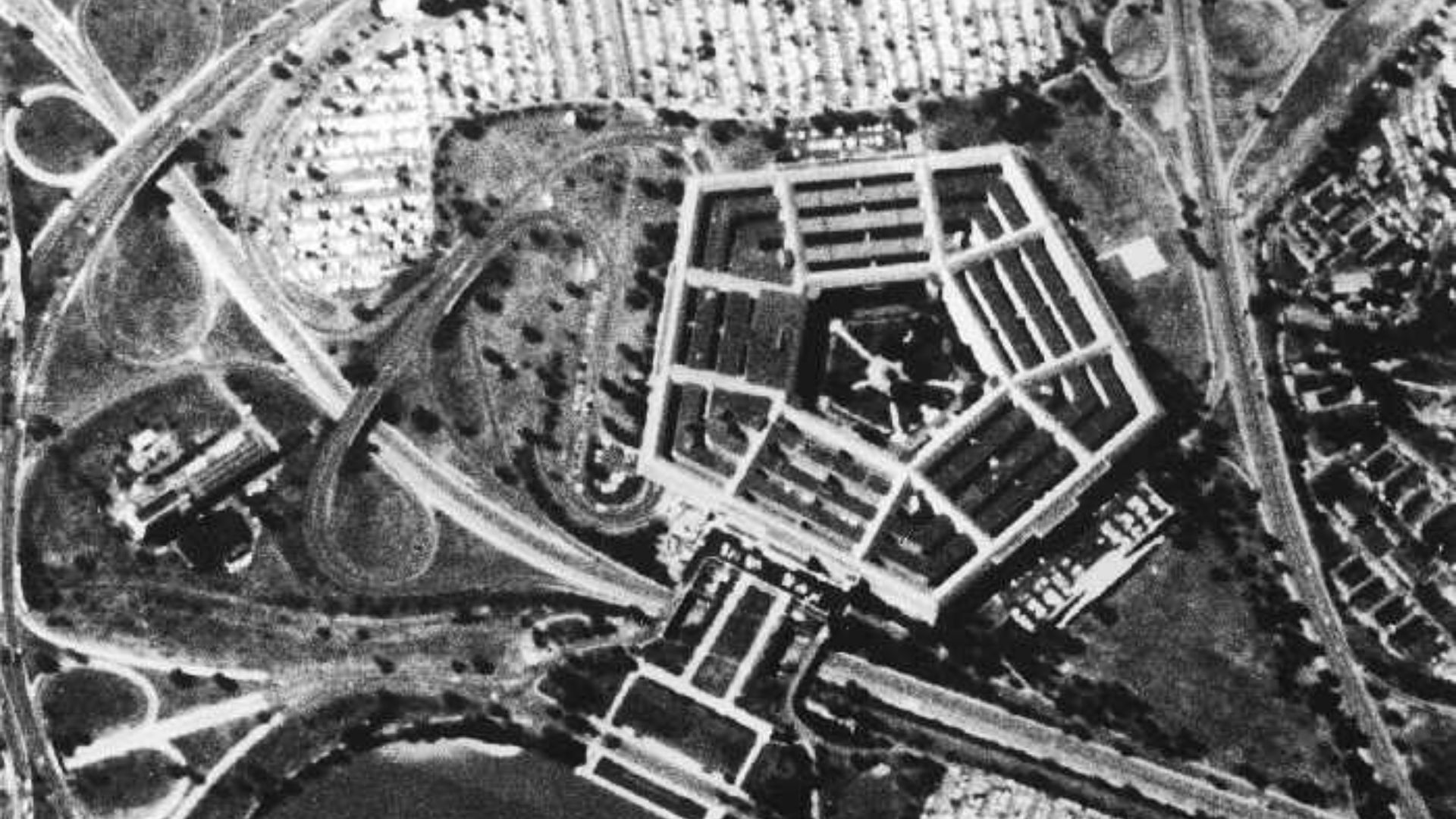
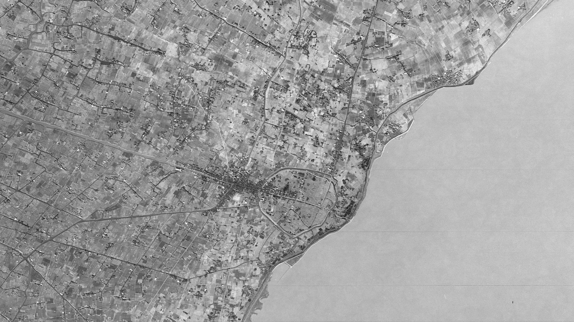
A current satellite image shows what exists today. A CORONA image shows what existed before decades of development. By comparing those different moments, archaeologists can recover the outlines of settlements, canals, mounds, and other features that modern change has blurred or destroyed.
 US National Reconnaissance Office (NRO), Wikimedia Commons
The Sites Were Mostly Tells
The model was trained to recognize tells, artificial mounds created when generations repeatedly built settlements in the same place. Over centuries, collapsed walls, floors, debris, and new construction piled upward, leaving rounded shapes that can sometimes be spotted from the air.
Teaching A Machine To Notice Mounds
Researchers used deep learning, a form of artificial intelligence suited to recognizing complicated patterns in images. Rather than merely declaring that a picture contained a site, the system examined individual pixels and tried to mark the likely boundaries of archaeological mounds.
 Mario Modesto Mata, Wikimedia Commons
The First Model Had Limits
An earlier version relied heavily on modern Bing satellite basemaps and reached roughly 80 percent accuracy. That was promising, but it struggled with places transformed beyond recognition. The researchers needed the machine to understand an older landscape, not just the one visible today.
 Dr John Wells, Wikimedia Commons
CORONA Became The Missing Ingredient
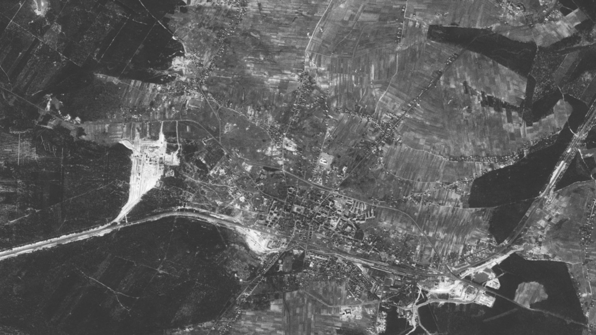
The team retrained its system using CORONA photographs of the region alongside modern imagery. The grayscale pictures looked less polished than current satellite maps, but they preserved valuable shapes and textures from before much of the district’s archaeological surface had vanished.
 USAF / CIA / NRO, Wikimedia Commons
The Results Improved Sharply
After retraining and fine-tuning, the best model reached about 90 percent general accuracy in detecting archaeological sites. At the pixel level, its Intersection-over-Union score—a measure of how closely predicted outlines matched known sites—rose above 85 percent.
 CIA/NRO/USGS, Wikimedia Commons
Heatmaps Pointed To Possibilities
The AI produced heatmaps highlighting areas it considered likely to contain archaeological remains. These were not treasure maps or final answers. They were more like digital suggestions, directing expert attention toward spots that deserved a careful second look.
 Frederic REGLAIN, Getty Images
Archaeologists Stayed In Charge
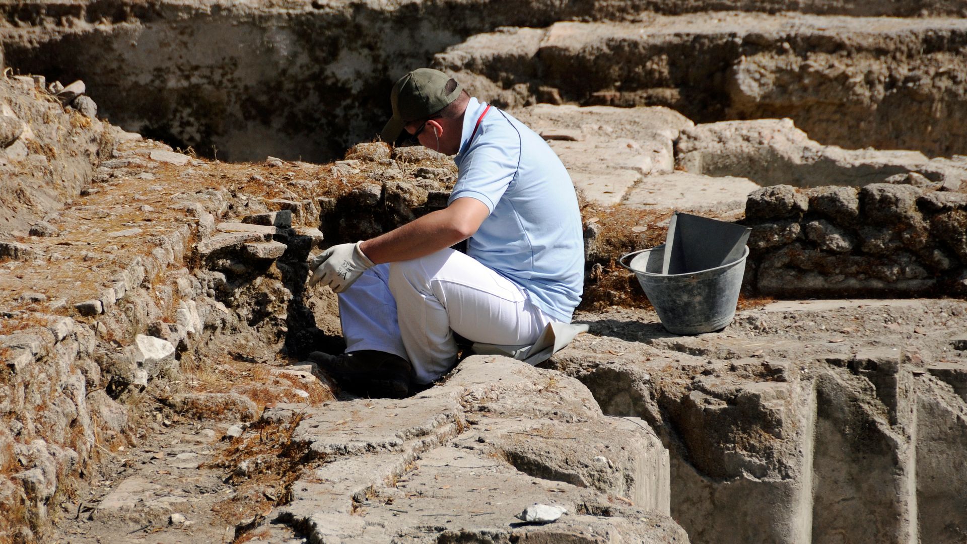
Human specialists reviewed the machine’s predictions and compared them with features identified through conventional remote sensing. They decided which locations had realistic archaeological shapes and which ones were probably natural formations, modern disturbances, or simple mistakes.
 Son of Groucho from Scotland, Wikimedia Commons
Eight Locations Stood Out
Among the predictions, eight previously overlooked locations received especially high probability scores. Those suggestions were important because ordinary image analysis had not marked them as likely tells. The researchers added them to the list of places to inspect in person.
Two Seasons Tested The Machine
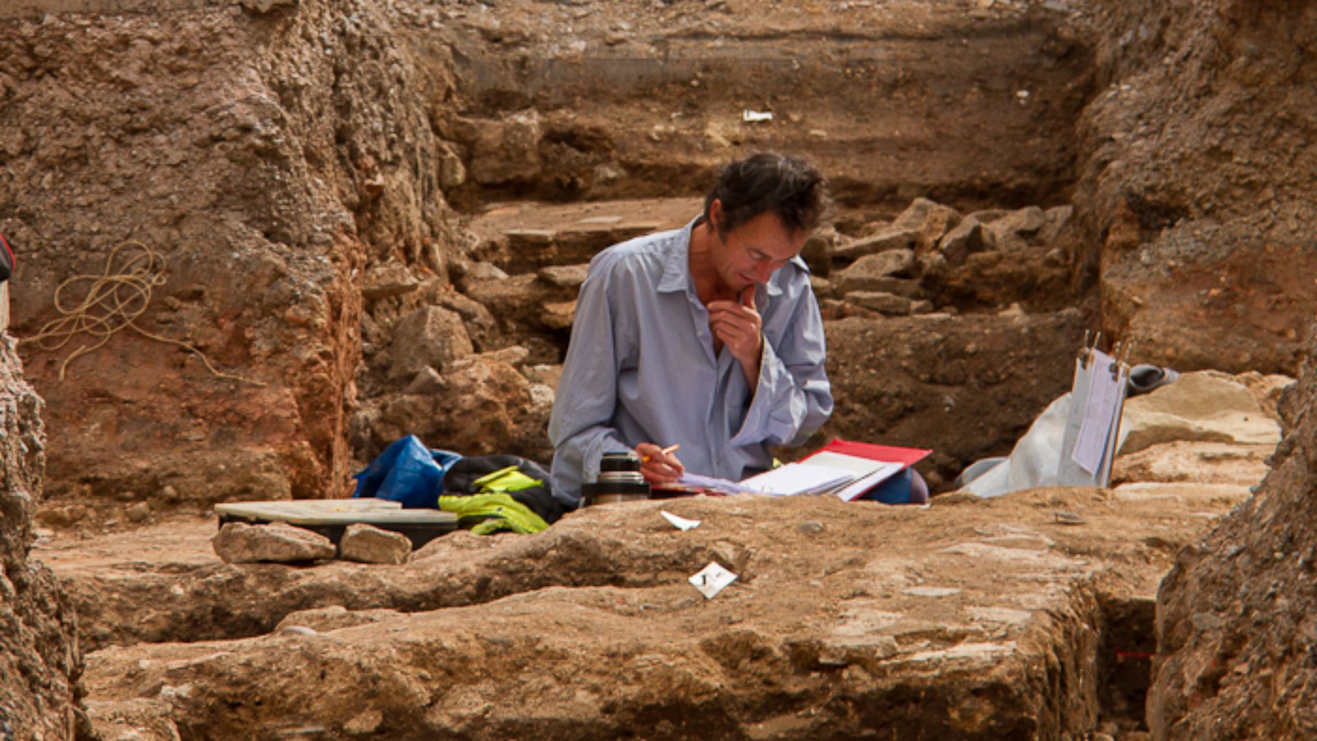
Field teams carried out reconnaissance in January 2023 and January 2024. Across the Abu Ghraib district, they investigated 96 possible sites identified through analysis of CORONA imagery, including the eight locations that had been specifically highlighted by the AI system.
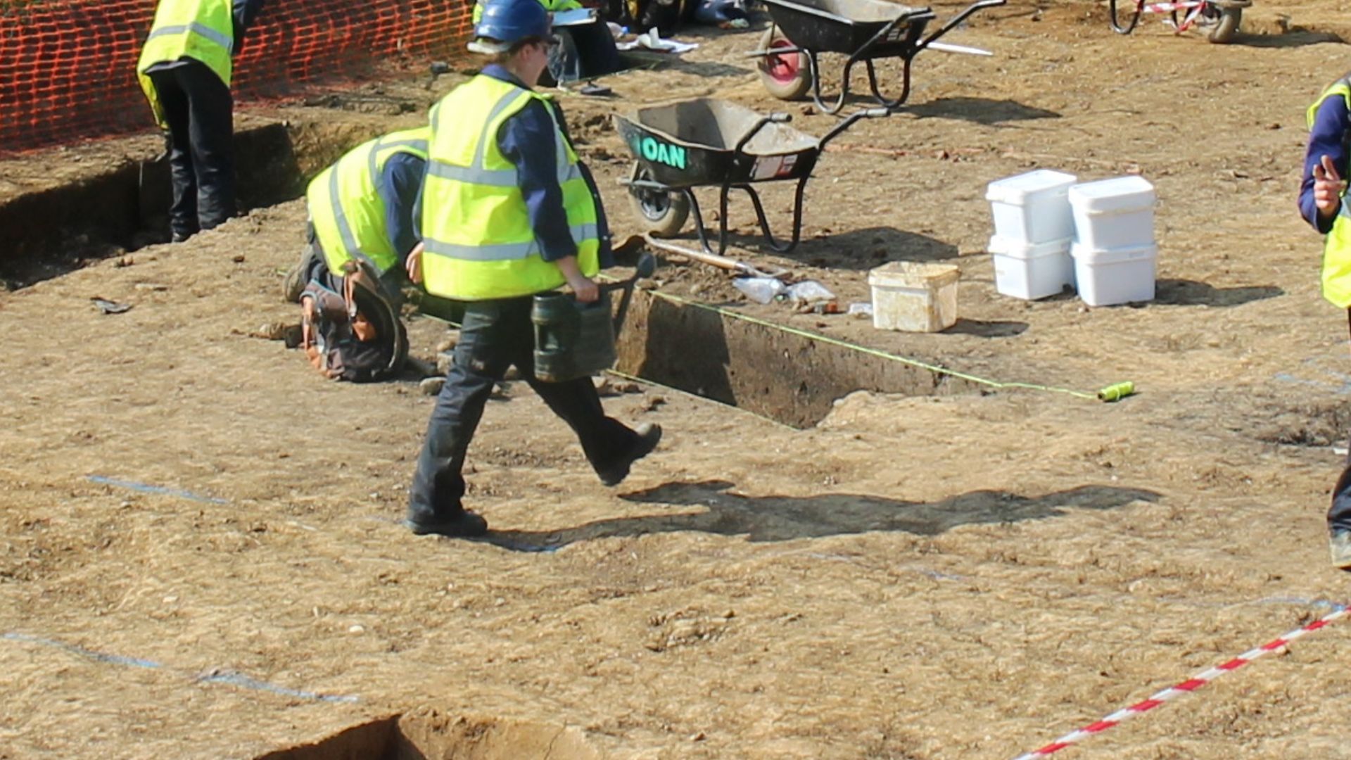 Jeremy Bradley, Wikimedia Commons
The Wider Survey Found Dozens
Of the 96 locations visited, 81 showed evidence of ancient human activity, while 15 did not. That impressive total demonstrated the broader value of CORONA photographs, whether interpreted by experienced archaeologists or processed with help from the new model.
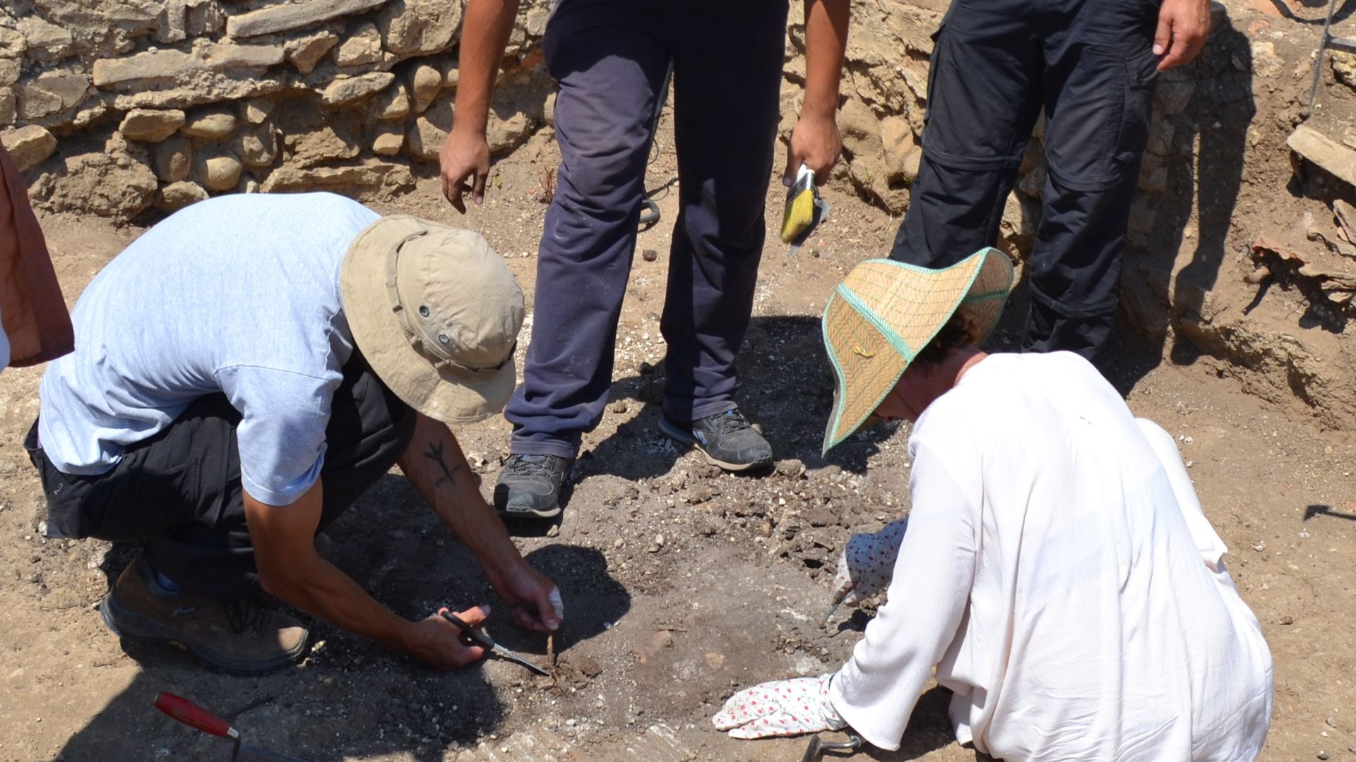
Four AI Predictions Were Real
Half of the eight AI-suggested locations were confirmed as archaeological sites. Four successes out of eight may not sound flawless, but these were places experts had not previously selected through standard methods. Without the model’s nudge, the team says they would not have been visited.
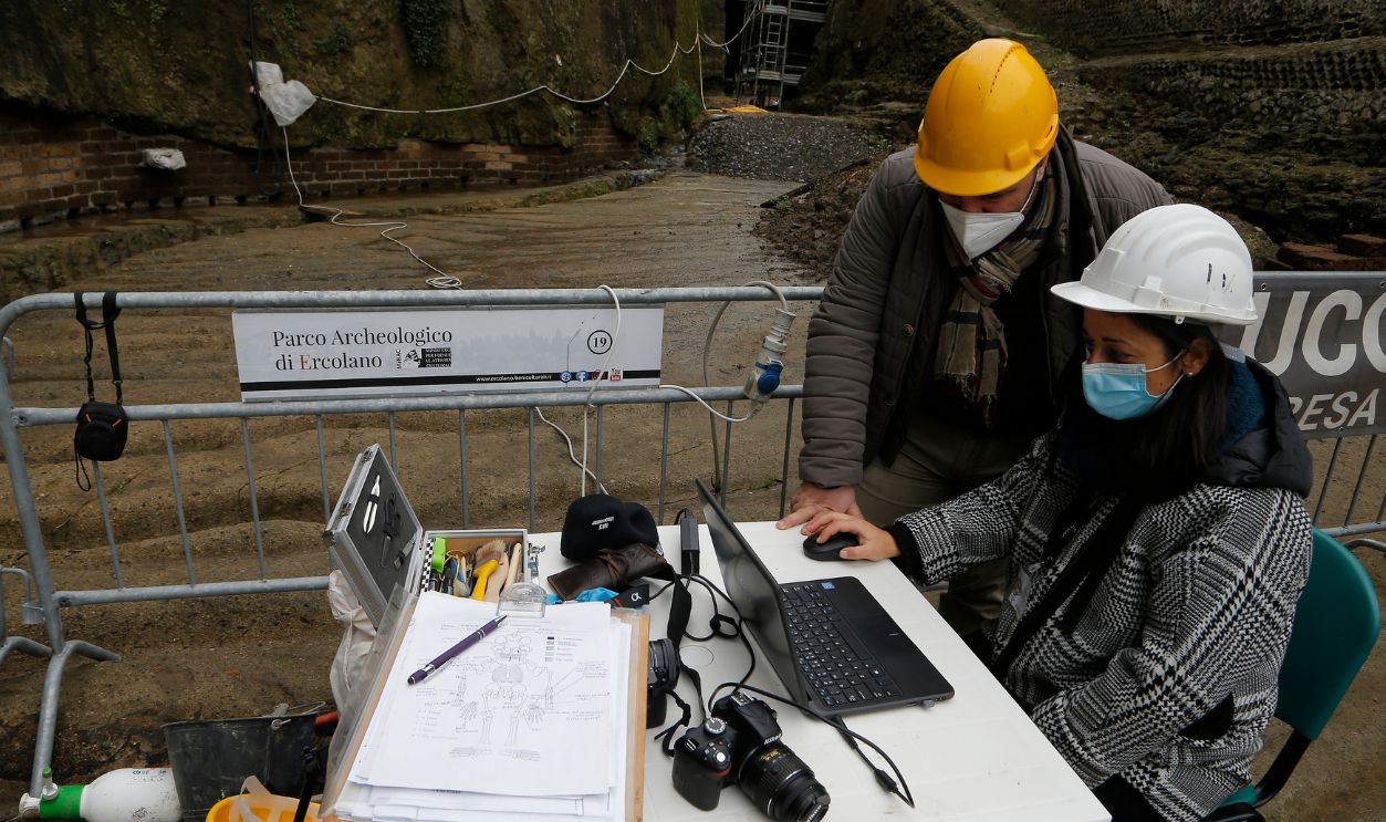
Ground Evidence Sealed The Case
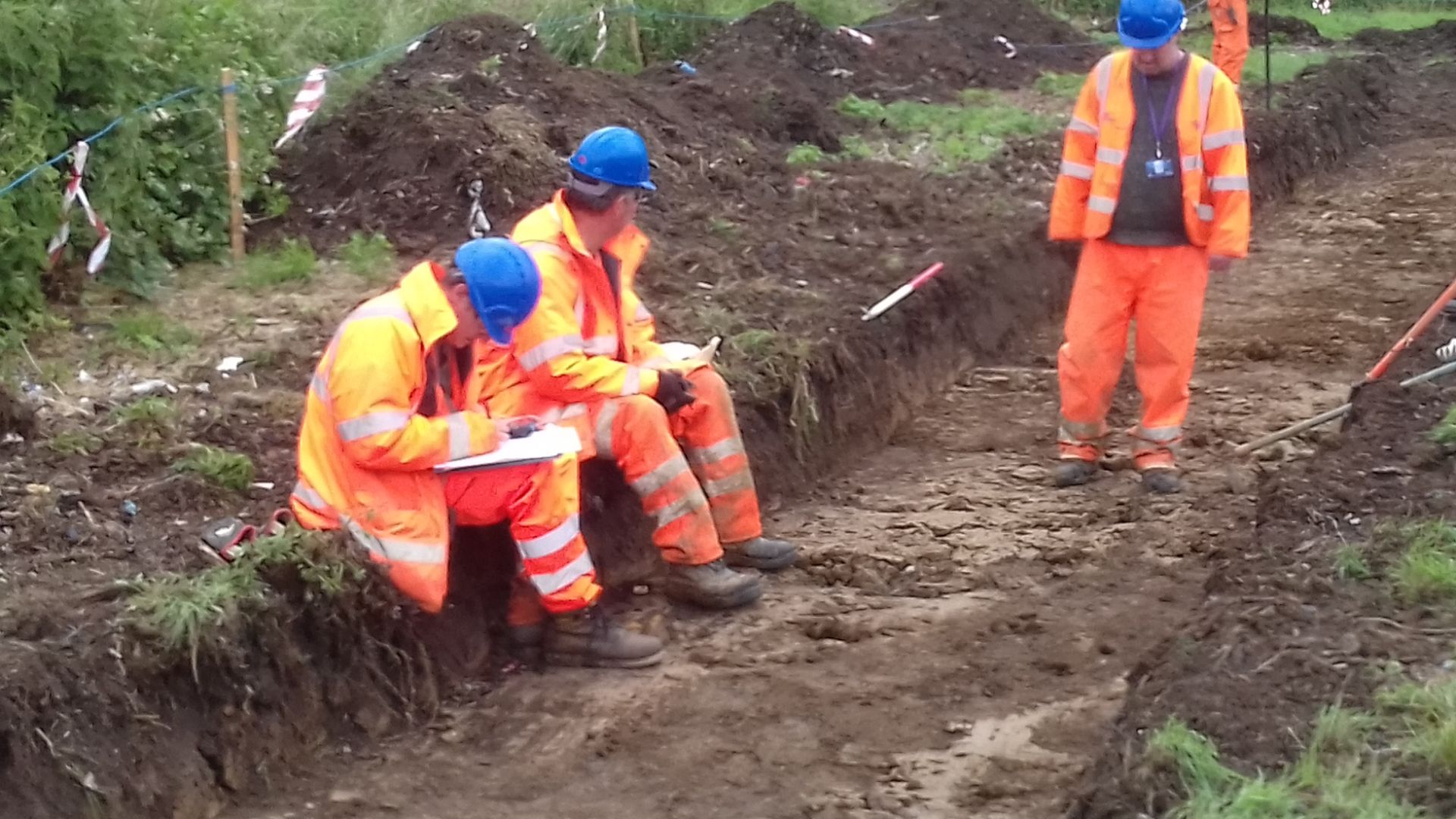
Some newly identified settlements were so badly damaged that little recognizable shape remained on the ground. Even so, surveyors found ceramic fragments scattered across the locations. Those sherds confirmed human occupation and helped establish that genuine archaeological sites had once existed there.
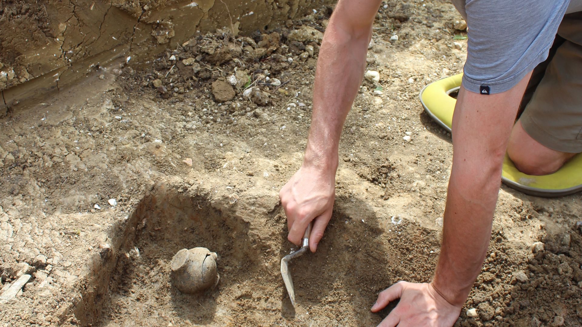 Cotswold Archaeology, Wikimedia Commons
The Machine Did Not Find Artifacts
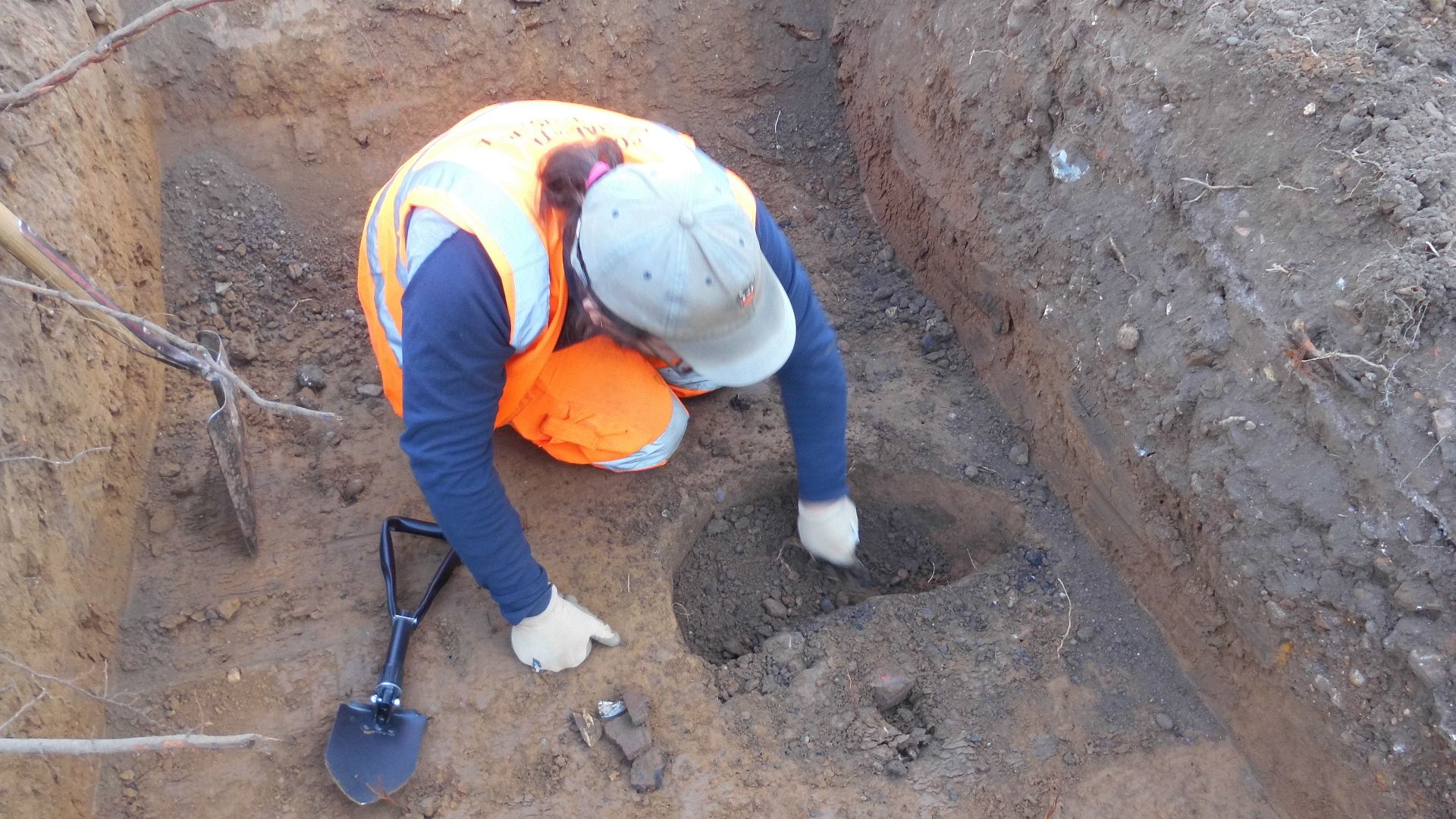
It is worth clearing up a common misunderstanding. The AI did not spot pottery from orbit or announce the age of a settlement. It detected landscape patterns resembling known tells, while archaeologists supplied the interpretation, field inspection, and physical evidence.
 Dr Elliott Hicks, Colchester Archaeological Trust, Wikimedia Commons
Destruction Was The Bigger Story
The survey did more than add dots to an archaeological map. It revealed how quickly the map itself was disappearing. Among the 81 confirmed sites, 31 had been completely destroyed, 19 largely destroyed, and the remaining 31 partially damaged.
 CIA/NRO/USGS, Wikimedia Commons
Nearly Half Had Become Hard To See
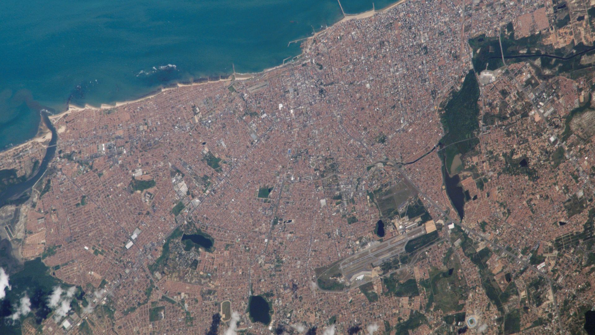
Researchers estimated that modern basemaps would fail to reveal a huge share of the older archaeological landscape. Depending on whether only totally destroyed or also largely destroyed sites are counted, the loss of visibility ranged from roughly 40 to 55 percent.
 NASA Johnson Space Center - Earth Sciences and Image Analysis (NASA-JSC-ES&IA), Wikimedia Commons
A Snapshot Before The Bulldozers
CORONA imagery effectively froze the district before its most dramatic recent transformation. A mound erased by construction can still survive as a faint form in a decades-old photograph. The physical site may be gone, but part of its story remains recorded from space.
 and processed with QGIS.
See more: spacefromspace.com/declassified-satellite-images](https://www.factinate.com/storage/app/media/splashtravels/2026/8/4/1785830503f2c2ebd3a70b7d874961da42623acdb768559f49.jpg) SpaceFrom.Space, Wikimedia Commons
SpaceFrom.Space, Wikimedia Commons
Speed Matters In A Threatened Landscape
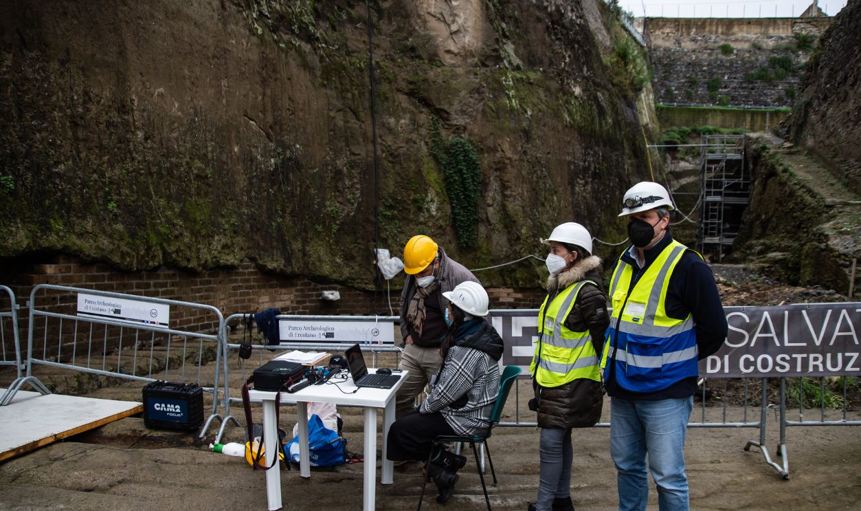
Manually inspecting thousands of old images takes enormous time and concentration. AI can scan broadly, flag unusual patterns, and help researchers decide where limited survey resources should go. In places changing quickly, that added speed may rescue information before more evidence disappears.
Open Tools Make It Repeatable
The project relied on public imagery, open-source software, shared archaeological annotations, and accessible computing resources. The authors also released their code and data, meaning teams with modest budgets may be able to adapt the approach for other threatened landscapes.
The Method Still Makes Mistakes
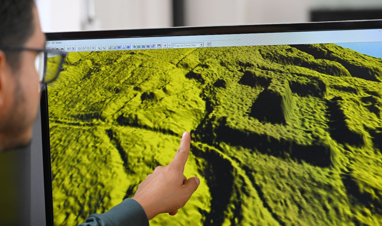
Four of the eight strongest new predictions were not confirmed, and deep-learning systems can be difficult to explain. A model may notice a useful pattern without showing researchers exactly why. That uncertainty makes expert review and field verification essential, not optional.
 Susan Stratton, Archaeology Wales, Wikimedia Commons
It Works Best On Recognizable Shapes
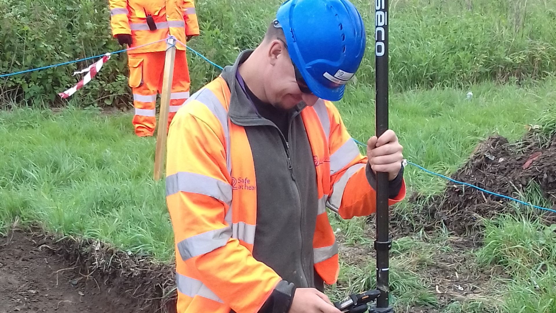
Tells are good targets because they often have repeated mound-like forms. Archaeological traces without clear shapes—such as scattered camps, buried roads, or faint activity areas—are harder to teach a machine to recognize. Future models will need broader and better-labeled training data.
 Susan Stratton, Archaeology Wales, Wikimedia Commons
Other Technologies Could Join In
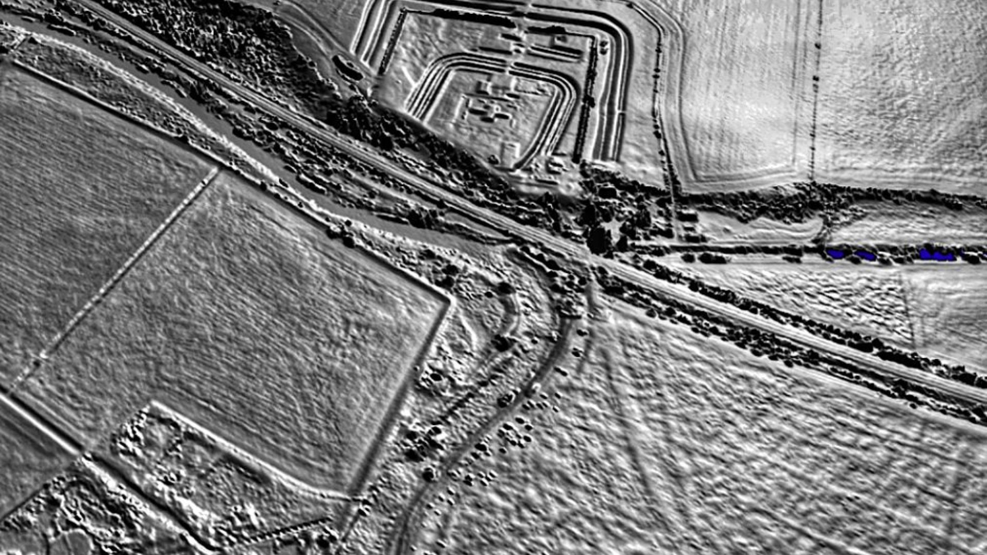
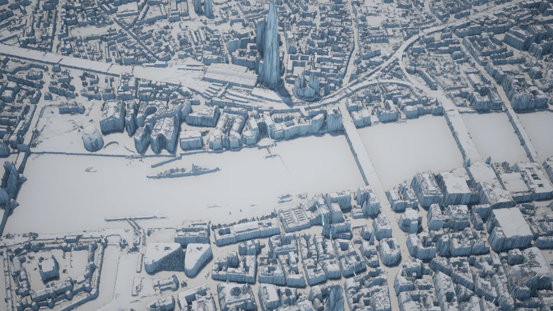
The researchers suggest that historical imagery could eventually be combined with tools such as LiDAR and super-resolution processing. Each method sees the ground differently, giving archaeologists more ways to reconstruct landscapes that no longer survive intact.
 Environment Agency, Wikimedia Commons
The Past Is Still There—In The Pictures
These four sites show why archaeology is no longer limited to trenches and trowels. Sometimes the crucial evidence is stored in a Cold War photograph, waiting for modern software and human judgment to notice it. The landscape changed, but its older version was not entirely lost.
 CIA/NRO/USGS, Wikimedia Commons
You May Also Like: