A Desert With A Watery Past
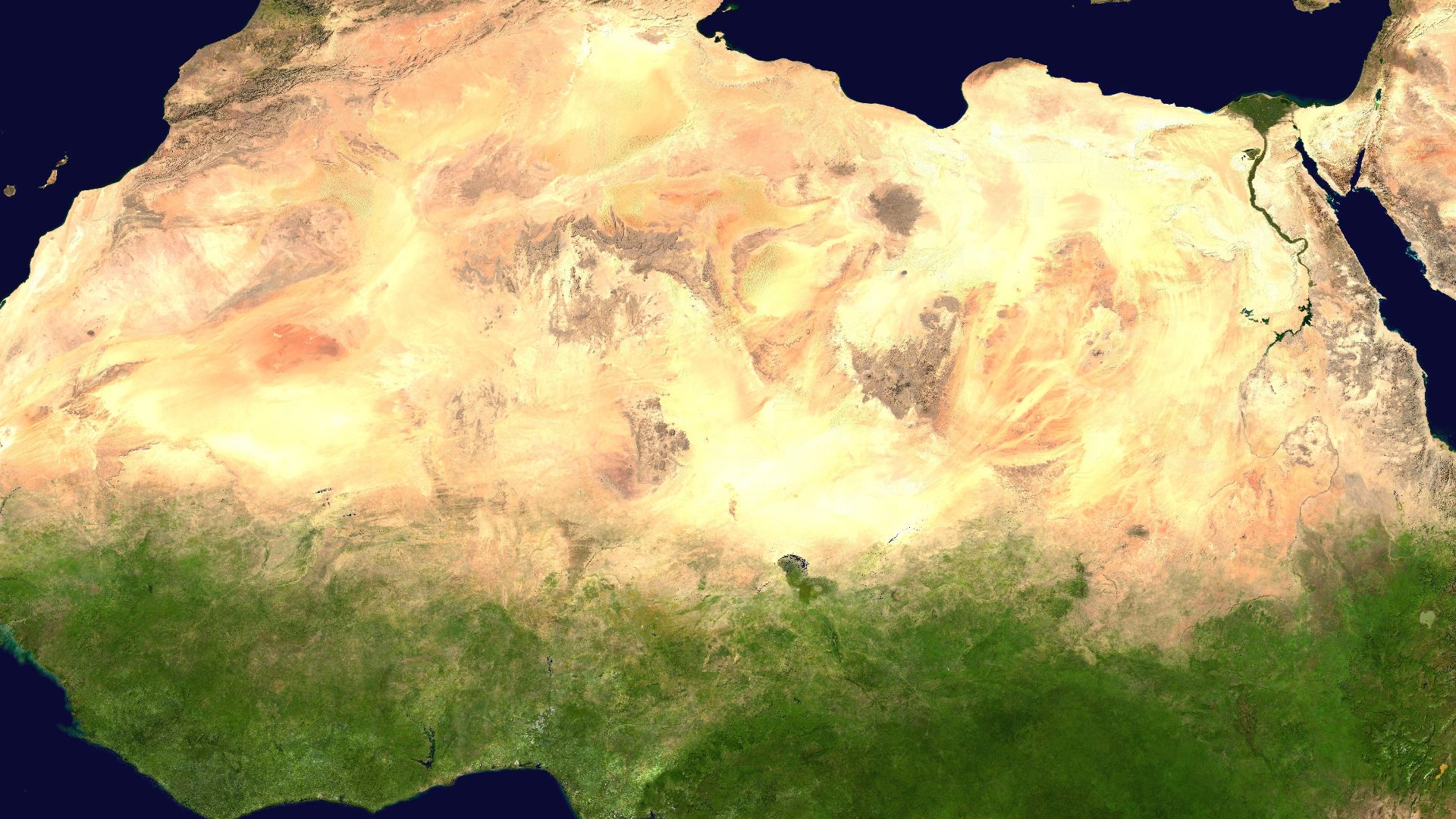
Today, the Sahara is the world's largest hot desert, stretching across roughly 3.6 million square miles of North Africa. Yet beneath its scorching sands lie unmistakable signs that this harsh landscape once contained abundant rivers, wetlands, and enormous lakes. Modern satellite technology, geology, archaeology, and climate science are steadily revealing how dramatically the Sahara has changed over hundreds of thousands of years.
The Sahara Wasn't Always Dry
The Sahara has alternated over and over again between humid and arid phases over the past several million years. During wetter intervals known as African Humid Periods, stronger monsoon rains transformed much of the desert wasteland into thriving grasslands, woodlands, lakes, and rivers capable of supporting abundant wildlife and human populations.
A Giant Hidden Lake
One of the most remarkable discoveries came in Egypt's Tushka region, where scientists identified evidence of a prehistoric megalake buried beneath the swirling expanse of sands. At its greatest extent, the lake covered more than 42,000 square miles, making it larger than present-day Lake Erie.
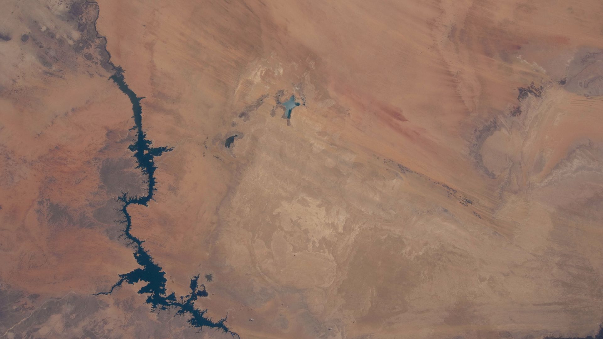 NASA/Expedition 31 crew member, Wikimedia Commons
Radar Saw Through The Sand
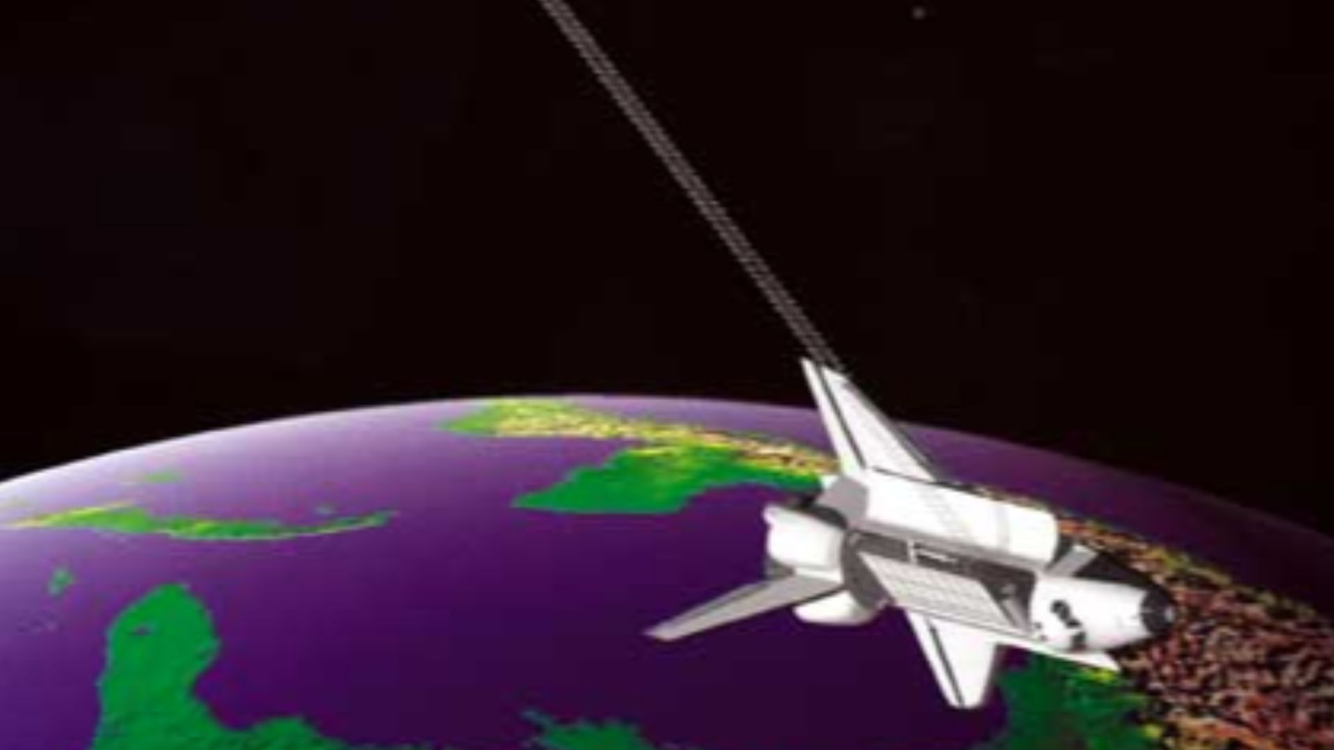
Researchers pinpointed the ancient lake using radar images collected during NASA's Space Shuttle Radar Topography Mission. Unlike visible light, radar waves can penetrate dry desert sands, revealing buried river channels, sediment deposits, and ancient shorelines hidden up to 50 feet below the surface.
The Nile Fed The Lake
Scientists concluded the megalake formed roughly 250,000 years ago when the Nile overflowed through a low channel near Wadi Tushka. Water poured into a vast natural depression, eventually creating one of the largest freshwater lakes known to have existed in North Africa.
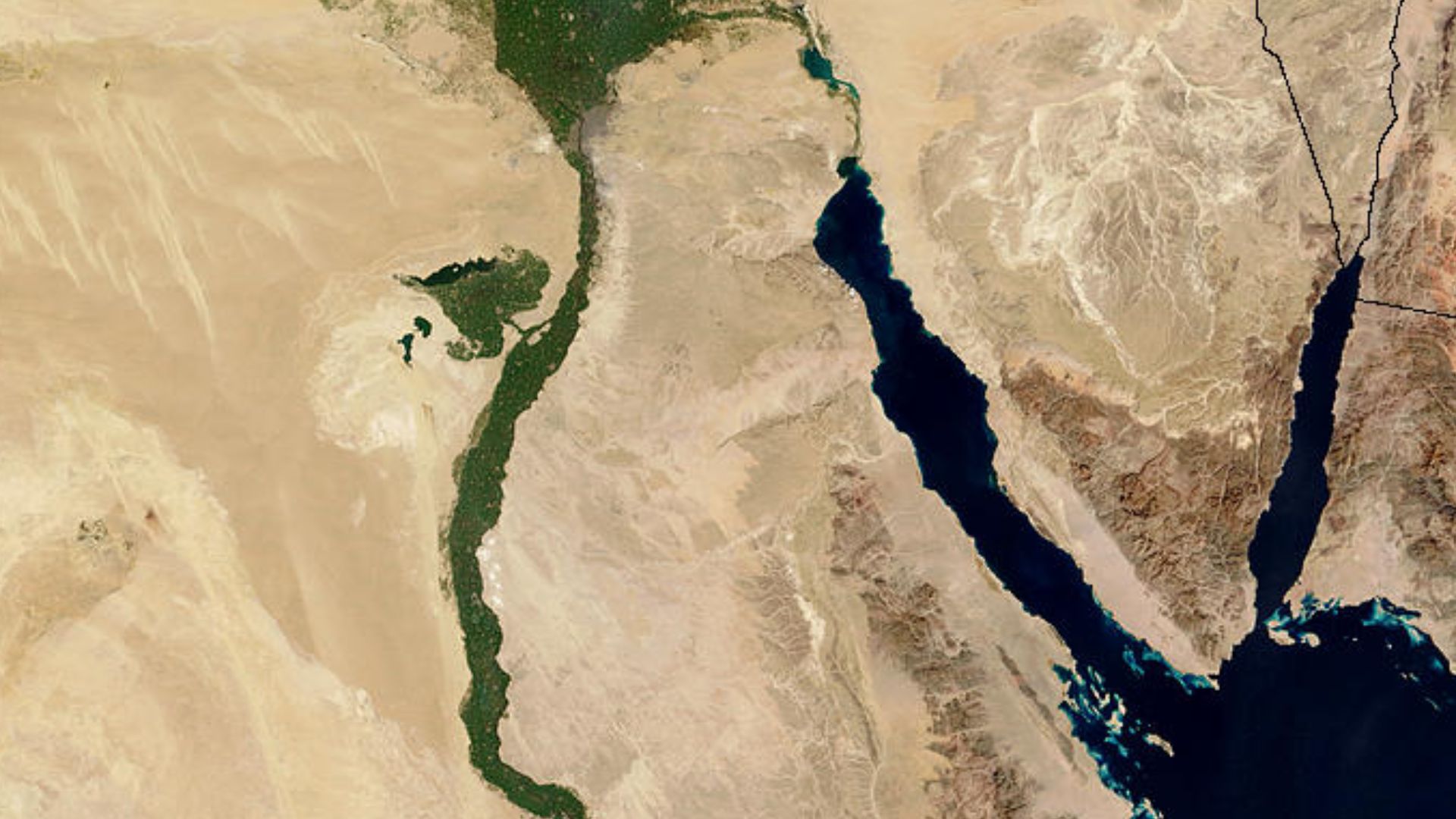 Jacques Descloitres, MODIS Rapid Response Team, NASA/sh, Wikimedia Commons
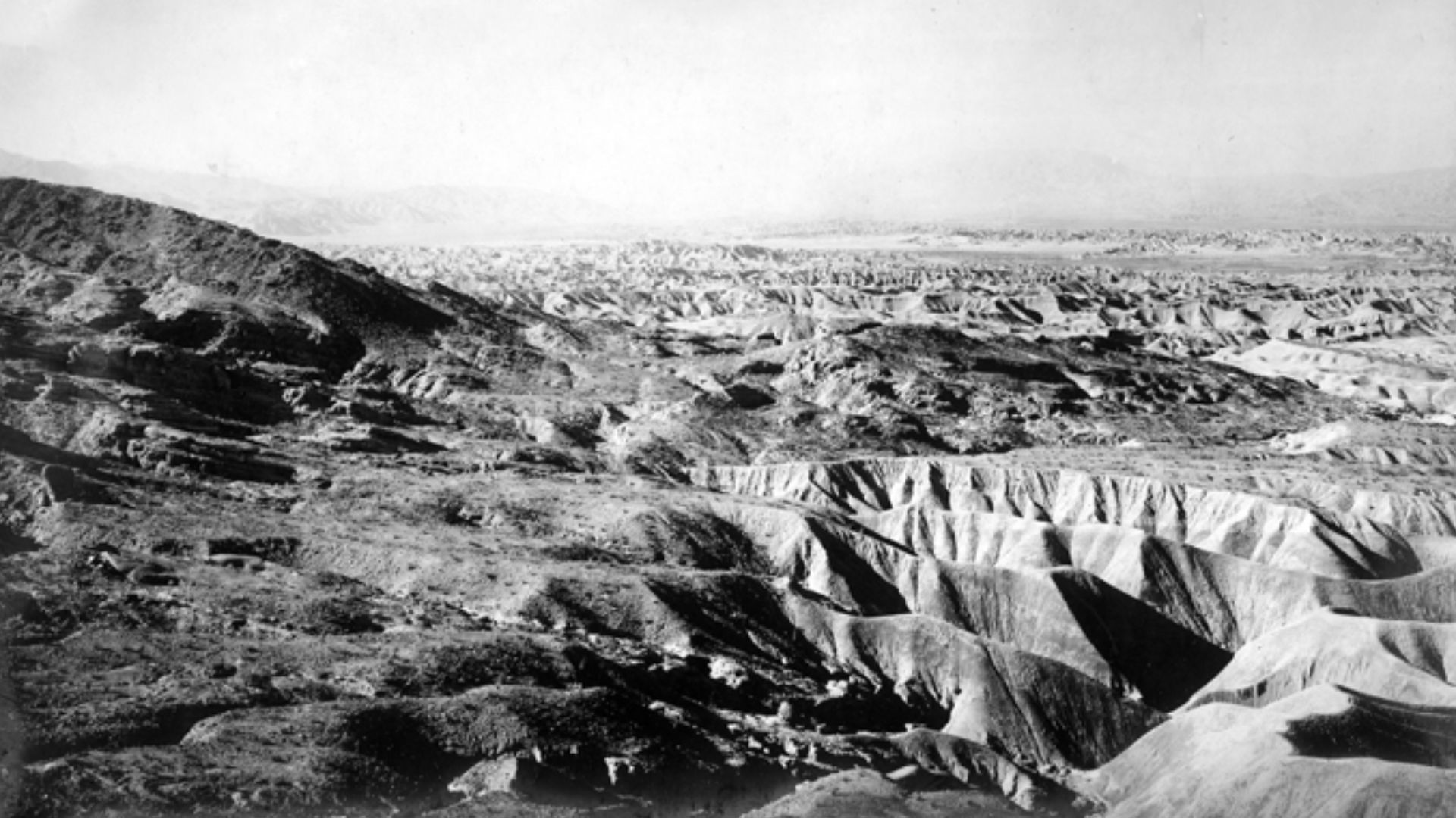
Ancient Shorelines Survive
Although the water disappeared long ago, ancient beaches, wave-cut terraces, and shoreline deposits remain preserved beneath the desert. These geological features allow researchers to reconstruct both the lake's size and the changing water levels over thousands of years.
 Mendenhall, W.C., Wikimedia Commons
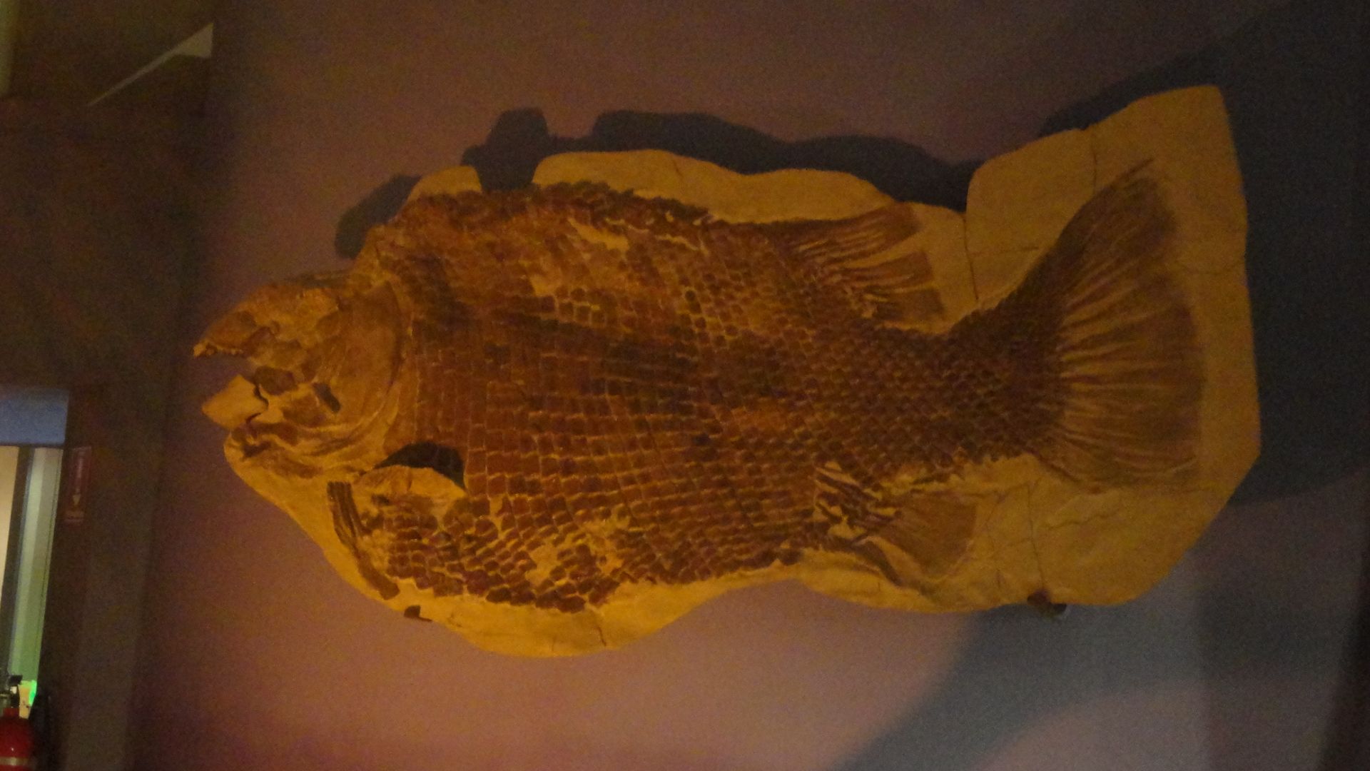
Fish Confirmed The Water
Fossilized fish discovered more than 250 miles west of today's Nile provided another important clue. Their presence at elevations matching the reconstructed shoreline demonstrated that freshwater once extended far into what is now one of Earth's driest landscapes.
 Juan Carlos Fonseca Mata, Wikimedia Commons
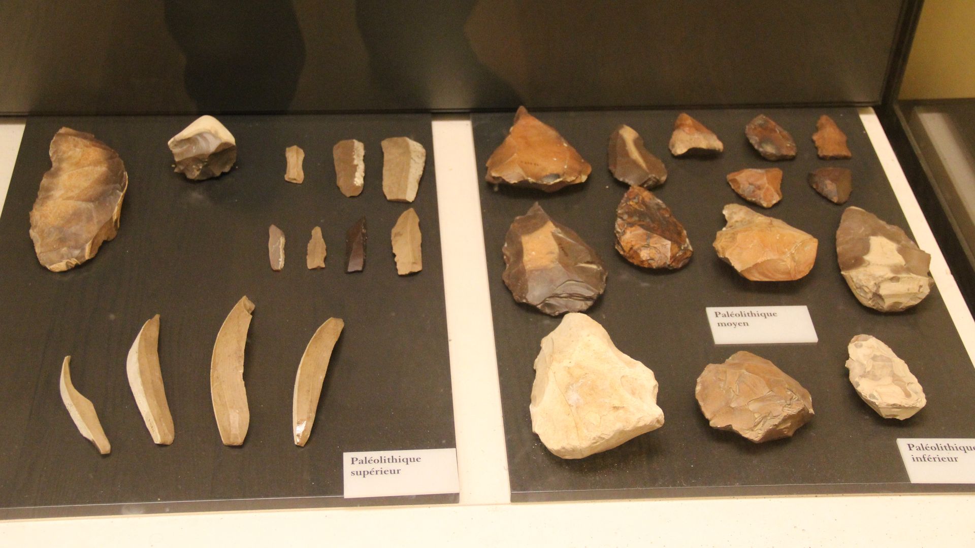
Early Humans Followed Water
Archaeological sites containing Paleolithic tools and settlements cluster around the ancient lake margins. These communities would have enjoyed reliable access to fresh water, fish, game animals, and fertile land, making the lakeshores attractive places to live thousands of generations ago.
 Gary Todd from Xinzheng, China, Wikimedia Commons
The Green Sahara
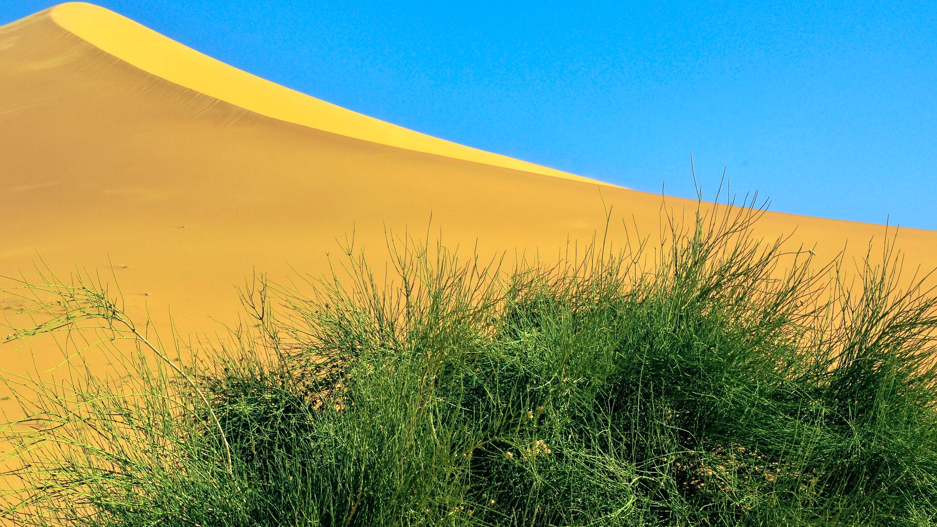
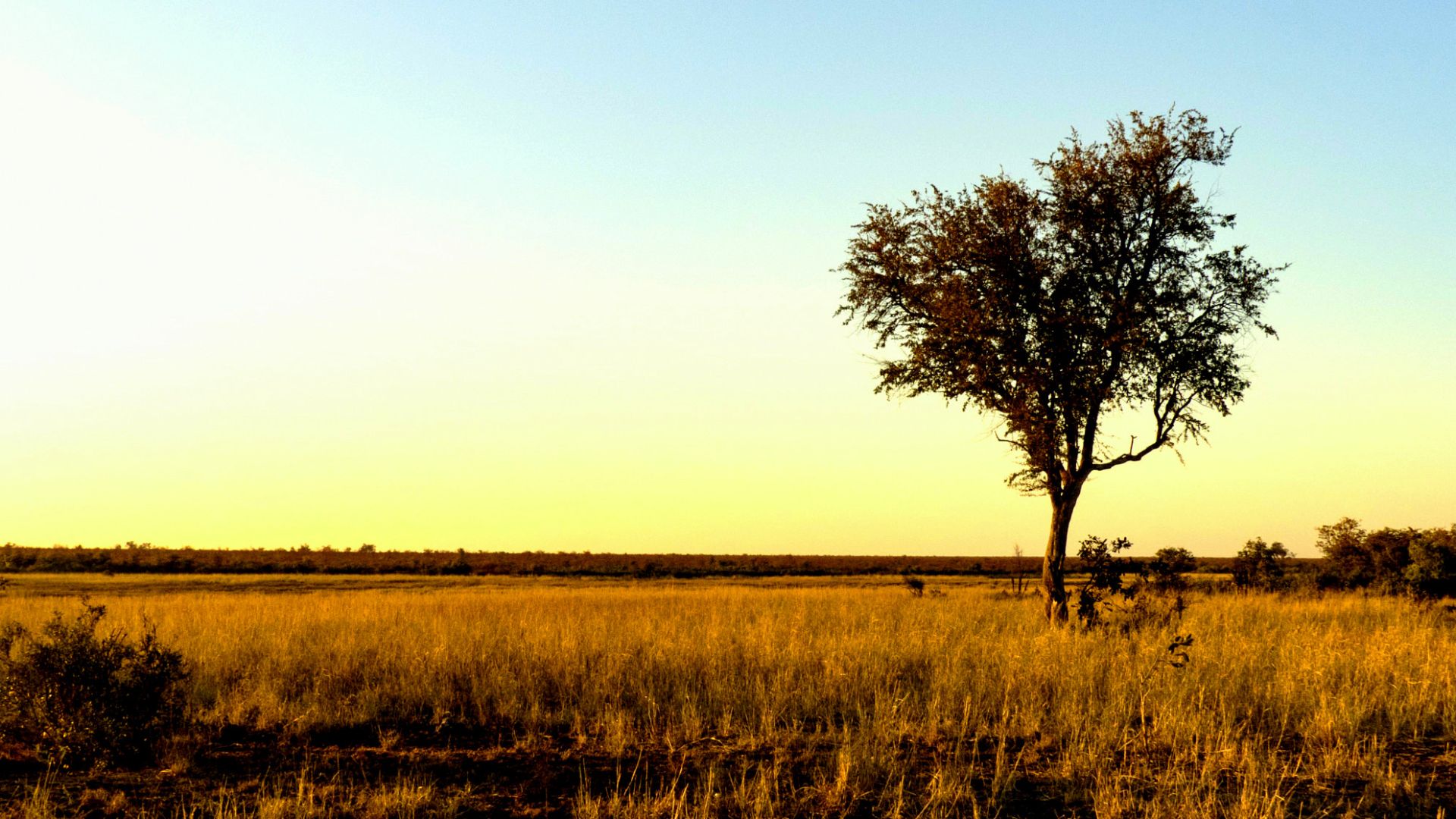
The giant Egyptian lake was only one feature of a much greener Sahara. Between roughly 11,000 and 5,000 years ago, much of North Africa became a mosaic of grasslands, woodlands, rivers, marshes, and seasonal lakes during the most recent African Humid Period.
Wildlife Once Flourished
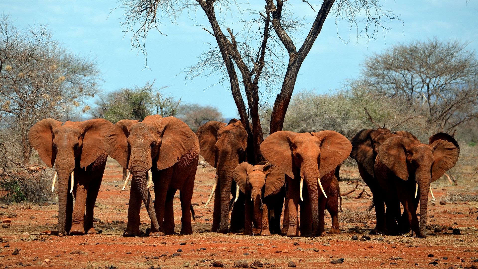
Fossils and rock art reveal that giraffes, elephants, hippos, crocodiles, antelope, and numerous other animals once roamed across areas now covered by dunes. Freshwater ecosystems supported fish populations while grasslands sustained large grazing mammals throughout much of the region.
 Maryam Laura Moazedi, Wikimedia Commons
Rock Art Tells Stories
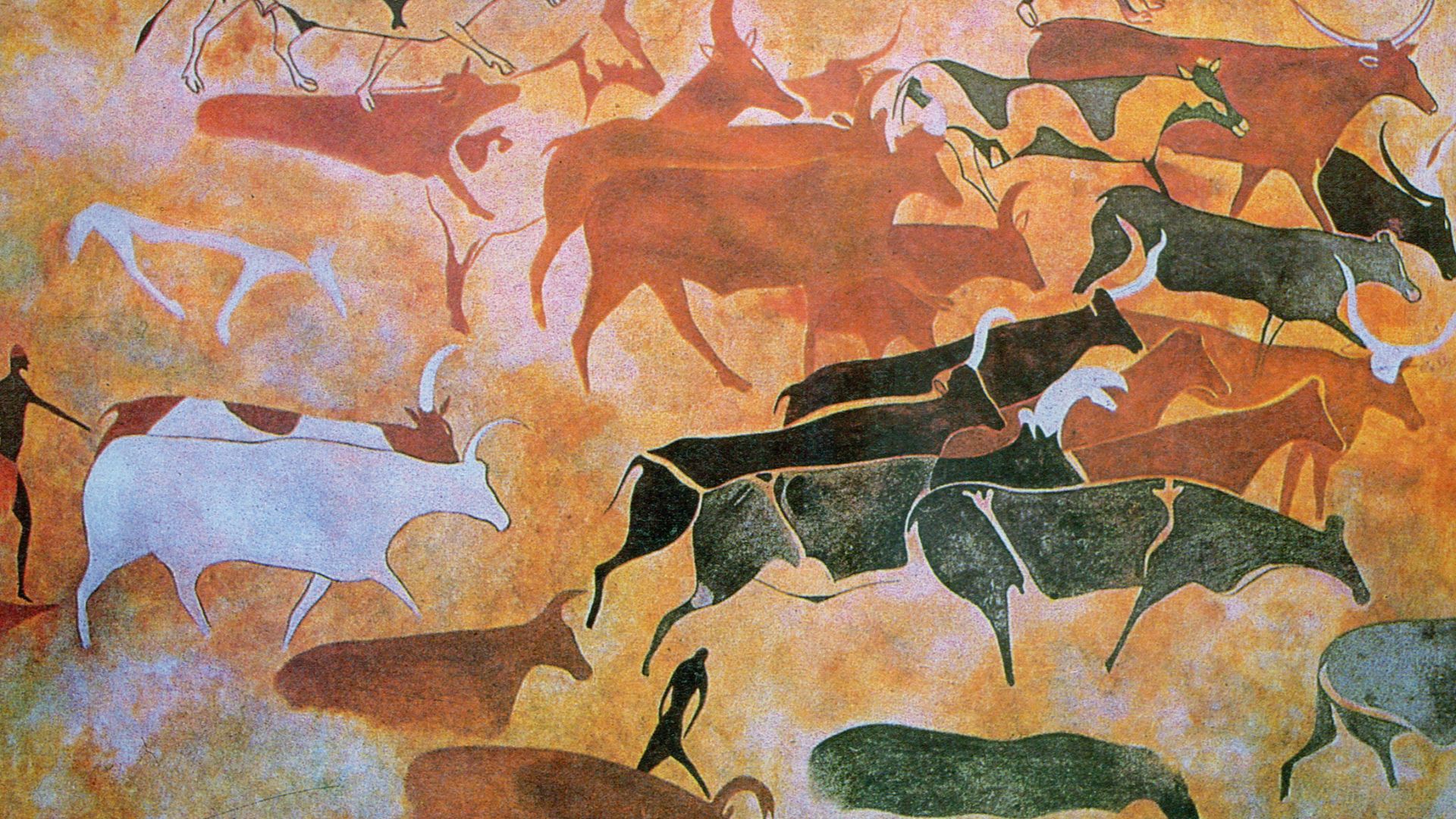
Ancient rock paintings in places such as Tassili n'Ajjer in Algeria depict people swimming, herding cattle, paddling boats, and hunting wildlife. These remarkable images preserve eyewitness records of a landscape that looked more like an African savanna than today's Sahara Desert.
 Unknown authorUnknown author, Wikimedia Commons
Mega Lake Chad
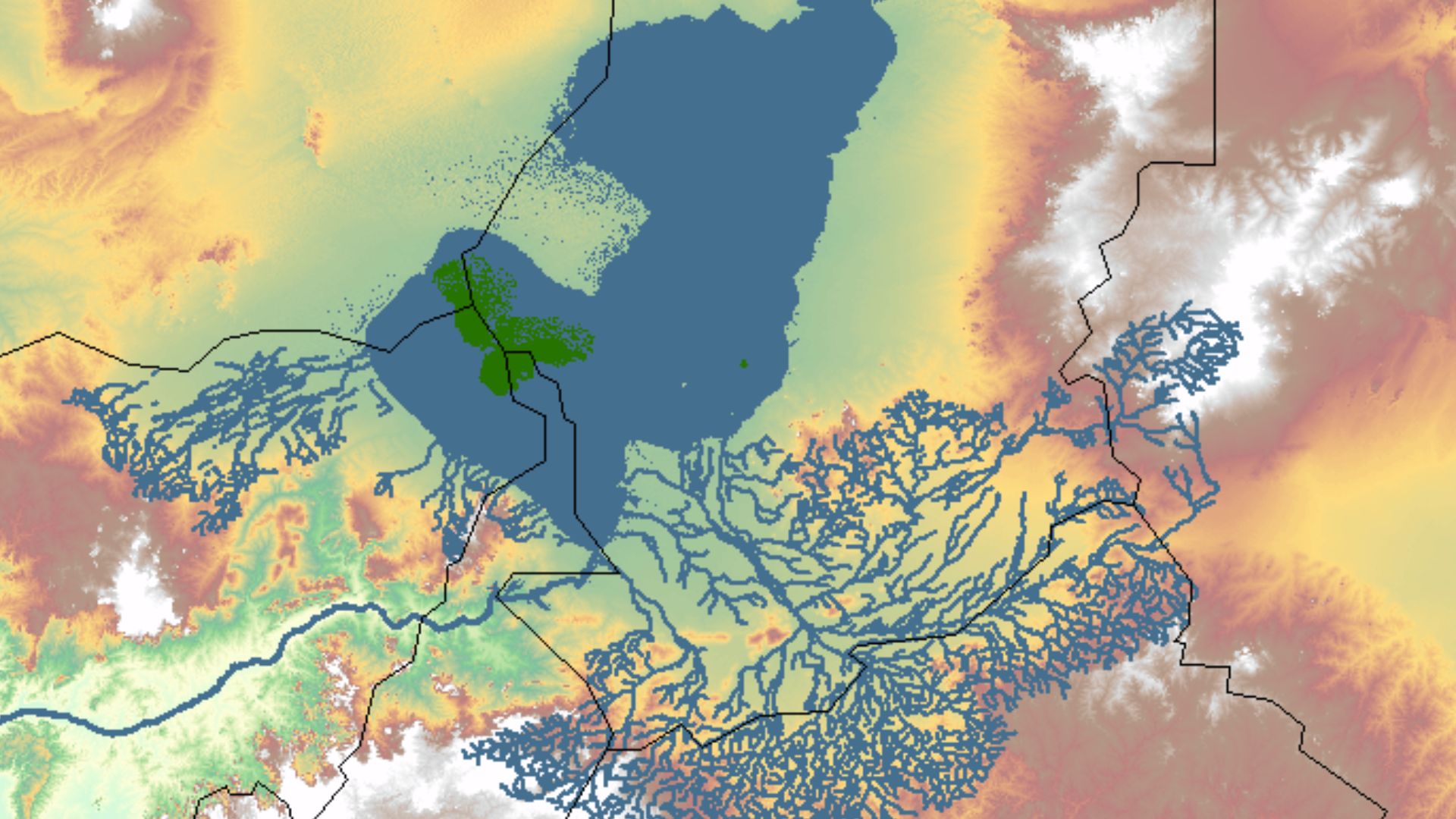
Another spectacular feature was Mega-Lake Chad. At its greatest extent, it covered an area comparable to modern Germany and was vastly larger than today's Lake Chad. Ancient rivers carried enormous volumes of water into this inland freshwater basin.
Why The Sahara Turned Green
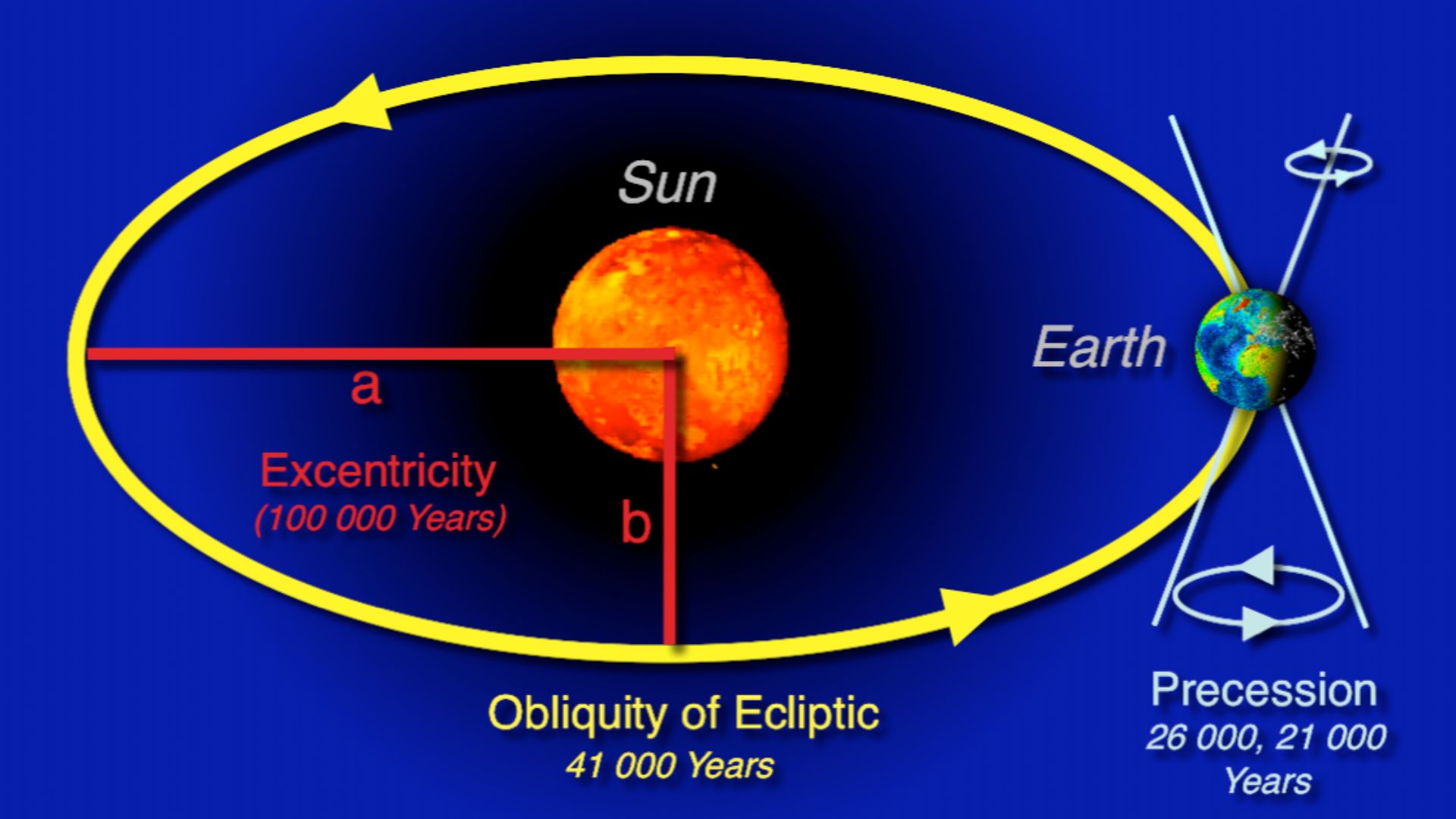
The greening resulted primarily from subtle changes in Earth's orbit known as Milanković cycles. Increased summer sunlight over the Northern Hemisphere strengthened the African monsoon, allowing rainfall to extend hundreds of miles farther north than it does today.
 Hannes Grobe, Alfred Wegener Institute for Polar and Marine Research, Wikimedia Commons
Vegetation Amplified Rainfall
Once grasses and shrubs became established, they reinforced the wetter climate. Plants darkened the land surface, increased evaporation, and helped recycle moisture back into the atmosphere, strengthening rainfall through a positive climate feedback loop.
 Javier Puig Ochoa, Wikimedia Commons
The Drying Began
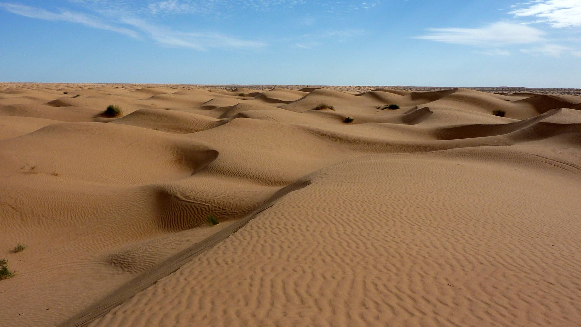
Around 6,000 years ago, Earth's orbit gradually shifted again. Summer monsoons weakened, rainfall declined, lakes shrank, rivers dried up, and vegetation disappeared. The positive feedback reversed, accelerating the transformation into the Sahara familiar today.
Climate Changed Quickly
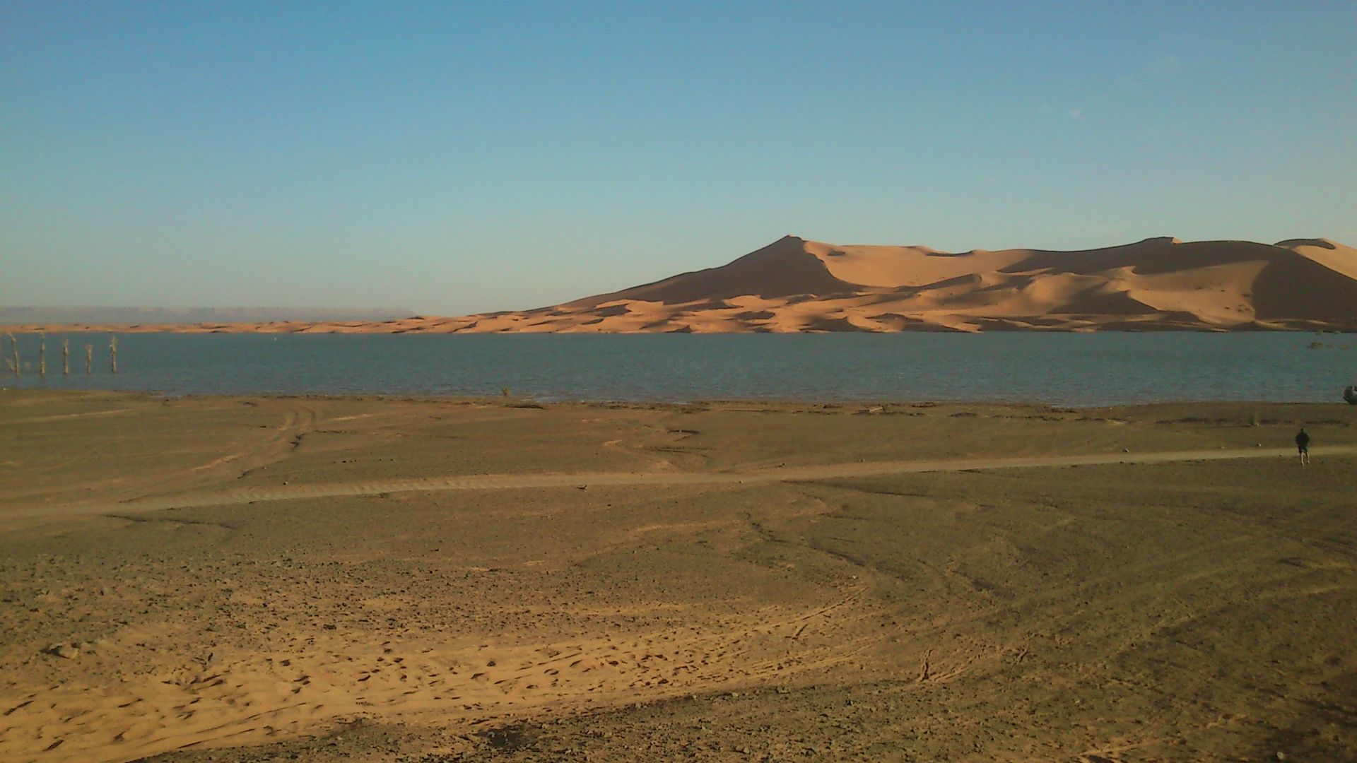
Although the orbital changes occurred gradually, evidence suggests parts of the Sahara dried surprisingly fast once vegetation collapsed. As plants disappeared, less moisture entered the atmosphere, reinforcing aridity and allowing expanding deserts to replace grasslands over relatively short geological timescales.
A Corridor For Migration
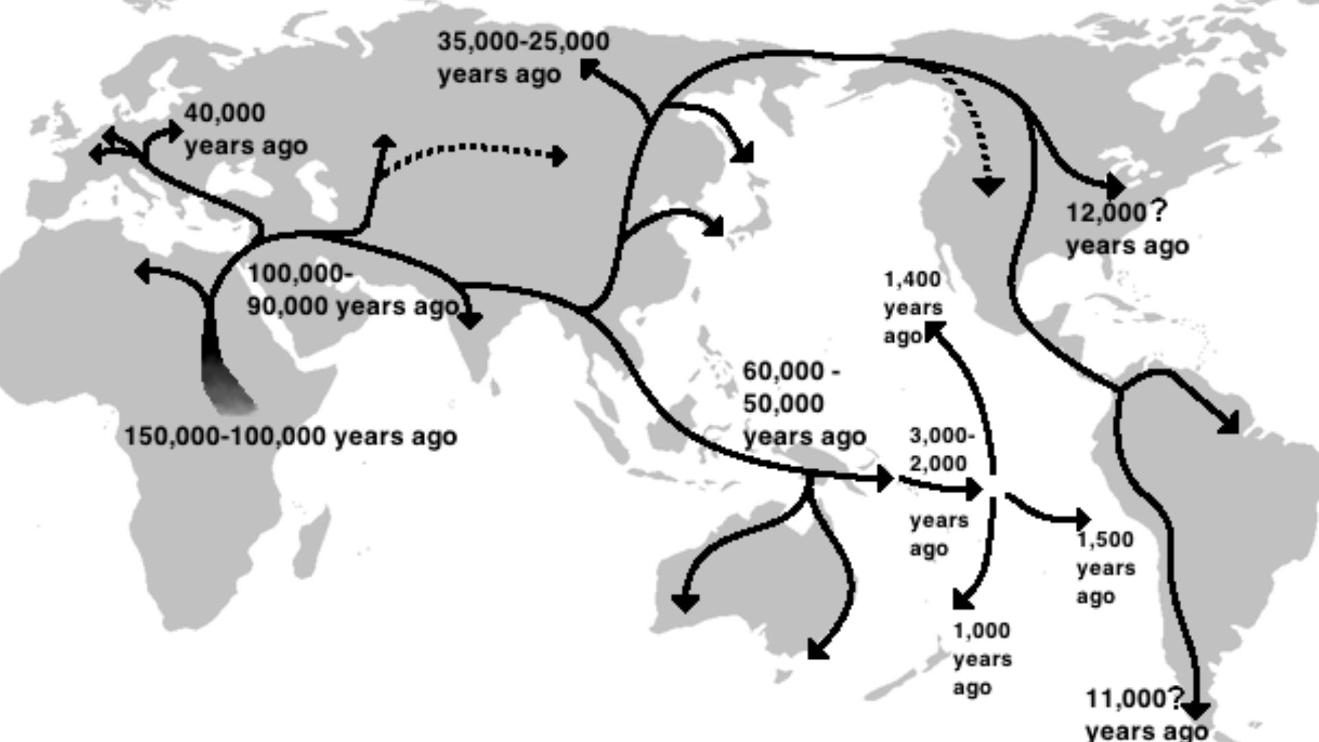
Repeated humid periods also opened migration routes across North Africa. During these greener intervals, rivers and grasslands allowed both animals and early humans to cross regions that would otherwise have formed nearly impassable desert barriers.
Ancient DNA Adds Evidence
In 2025, researchers recovered the first ancient genomes from individuals who lived during the Green Sahara roughly 7,000 years ago. The DNA revealed a long-isolated North African lineage and offered new insights into human populations living during the humid period.
 Svante Pääbo, Max Planck Institute for Evolutionary Anthropology, Wikimedia Commons
Could The Sahara Turn Green Again?
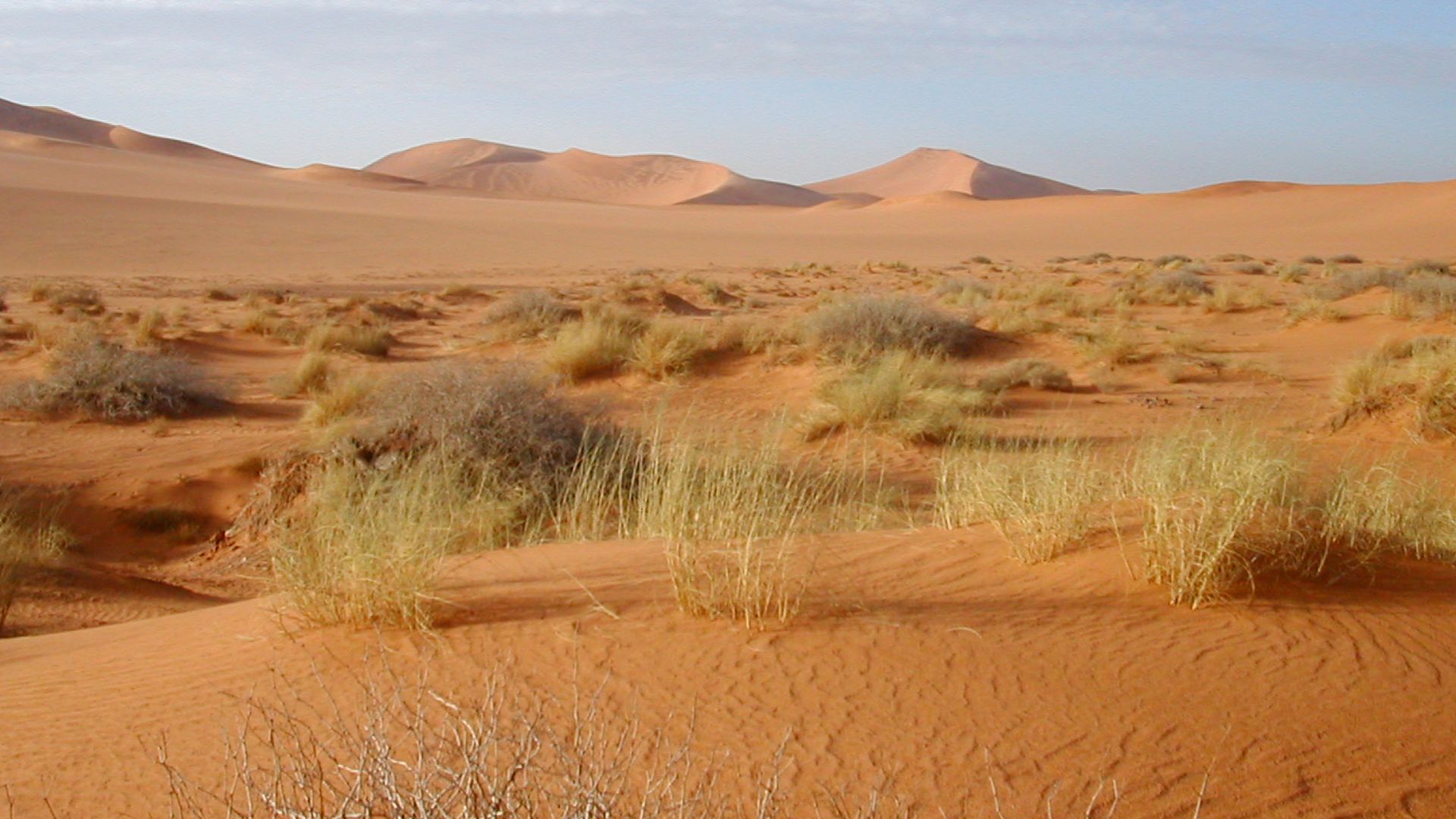
Scientists believe the Sahara will eventually experience another humid phase because Earth's orbital cycles continue. However, the next naturally occurring Green Sahara is not expected for thousands of years under normal astronomical conditions.
 Florence Devouard (User:Anthere), Wikimedia Commons
Could Humans Green It?
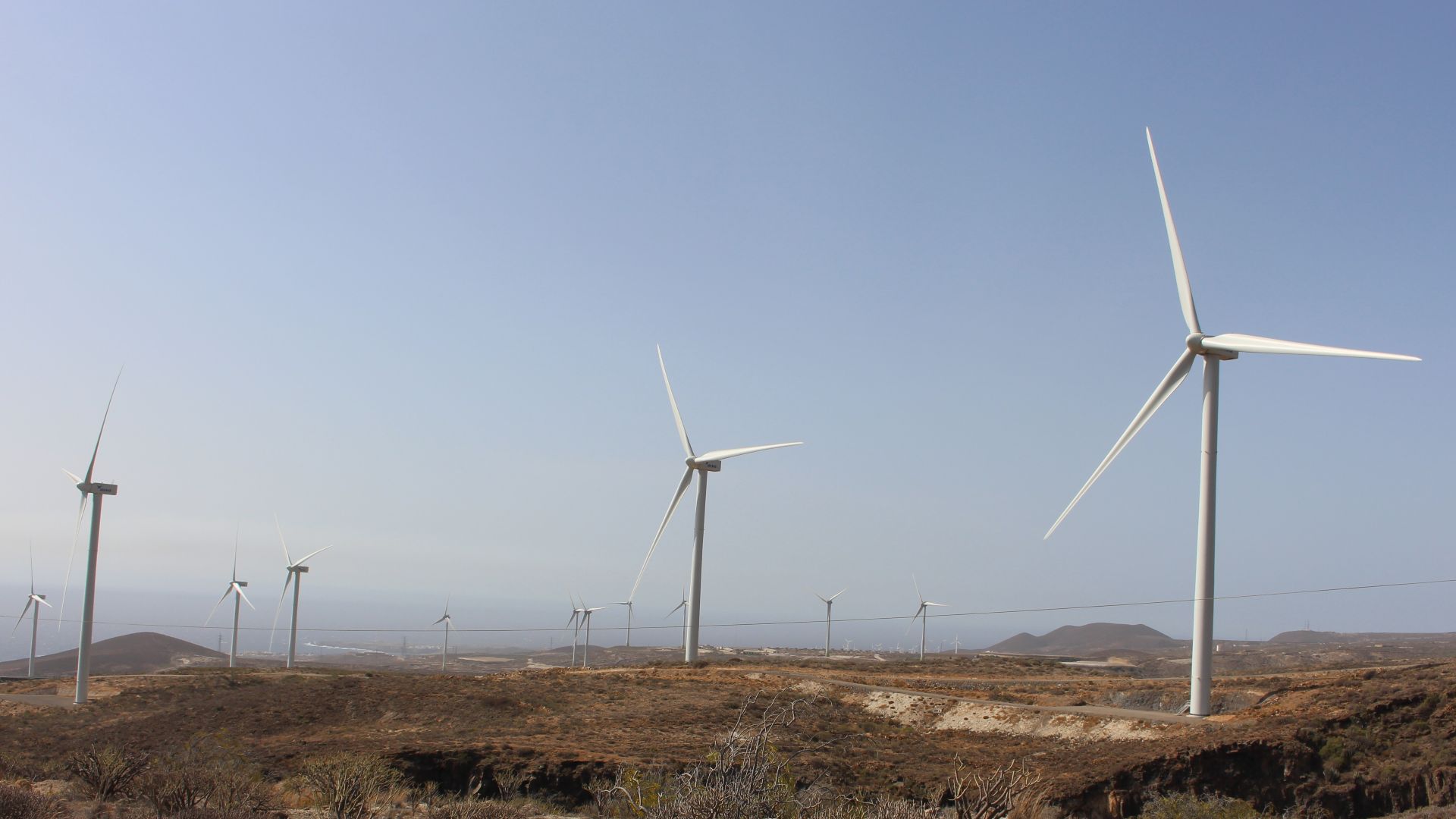
Researchers have proposed massive reforestation projects, large-scale irrigation, and extensive solar and wind farms as possible ways to encourage localized greening. Such projects would require extraordinary engineering, vast water supplies, and long-term international cooperation on an unprecedented scale.
Solar Farms May Help
Some climate models suggest that enormous solar and wind installations could alter local atmospheric circulation. By changing surface heating and roughness, they might slightly increase rainfall in parts of the Sahara, although the magnitude and long-term consequences remain uncertain.
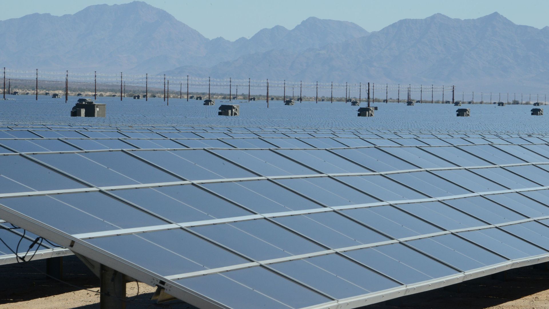 U.S. Department of the Interior, Wikimedia Commons
Climate Would Change
A greener Sahara would likely absorb more sunlight than reflective sand while simultaneously increasing evaporation and cloud formation. The resulting changes could influence regional rainfall patterns, atmospheric circulation, and possibly weather systems extending well beyond North Africa.
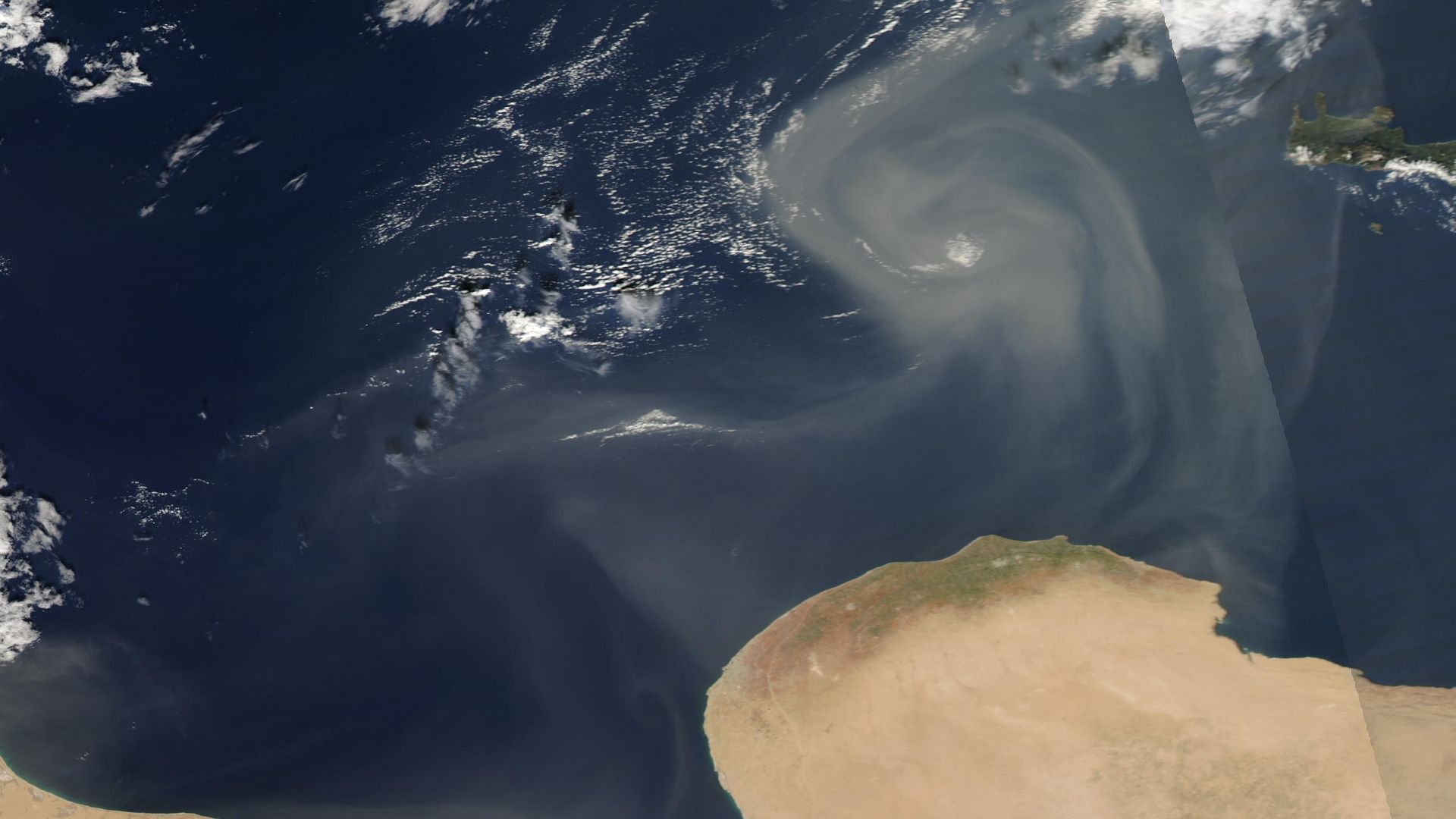 MODIS Land Rapid Response Team, NASA GSFC, Wikimedia Commons
Benefits And Risks
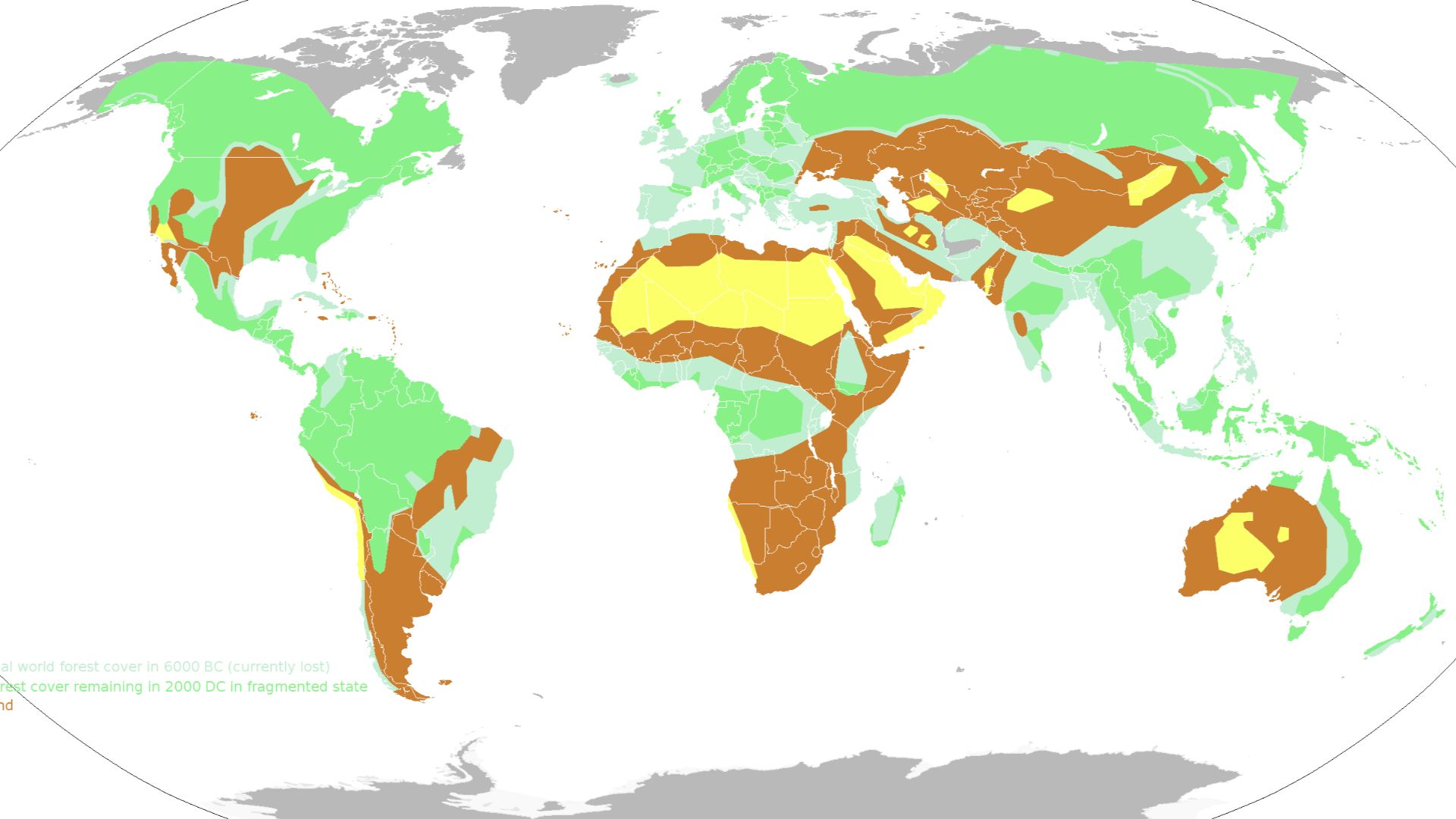
Restoring vegetation could reduce dust storms, store additional carbon, improve biodiversity, and create new agricultural opportunities. However, scientists caution that altering such a vast ecosystem could also produce unintended effects on rainfall, ocean circulation, and neighboring climates.
The Sands Still Remember
Every buried shoreline, fossil fish, ancient river channel, and prehistoric settlement reinforces the same conclusion: today's Sahara is only the latest chapter in a remarkably dynamic environmental history. Far beneath its dunes lies compelling evidence of one of Earth's greatest natural transformations.
You May Also Like:
The Eye Of The Sahara Looks Like It Can't Possibly Be Natural