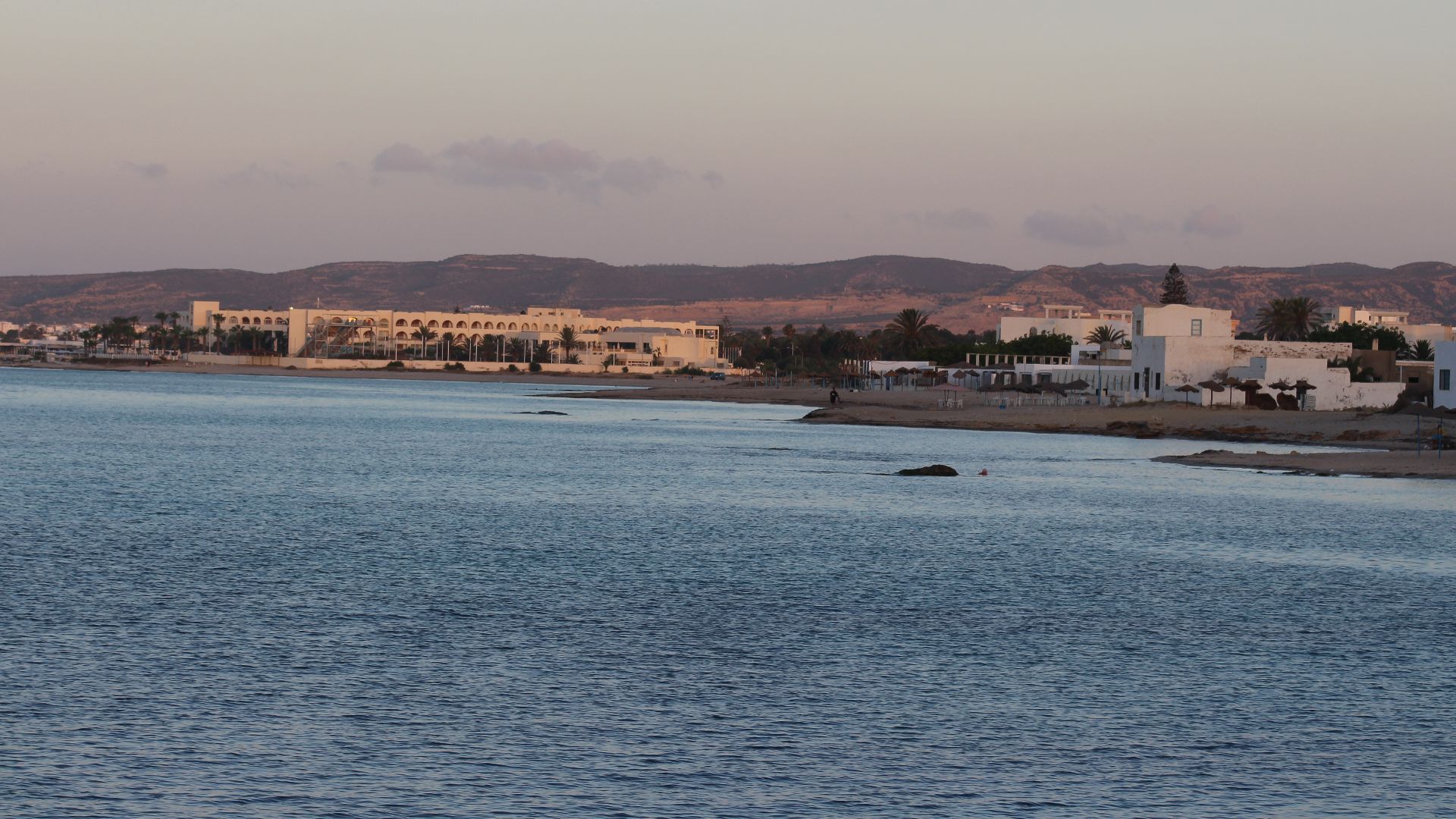
When The Sea Swallowed A City
The Mediterranean has a habit of keeping secrets. For centuries, historians argued over whether the Roman city of Neapolis in present-day Tunisia truly vanished in a catastrophic event—or whether that story grew taller in the retelling. Now, archaeologists have uncovered sprawling underwater ruins that suggest the legend wasn’t exaggerating after all. Beneath the waves off the coast near modern Nabeul lies what appears to be a massive slice of the ancient city—streets, structures, and industrial installations included—quietly resting on the seabed.
A City With A Complicated Reputation
Neapolis wasn’t just any Roman town. Founded in the 5th century BC and later absorbed into the Roman Empire, it became one of North Africa’s thriving coastal hubs. But its historical reputation took a hit when it sided with Carthage against Rome—earning punishment and, eventually, obscurity.
Ancient texts referenced the city, yet clear physical evidence always seemed frustratingly incomplete. For a long time, it was easier to talk about Neapolis than to actually point to it on a map.
The Clue Buried In An Ancient Account
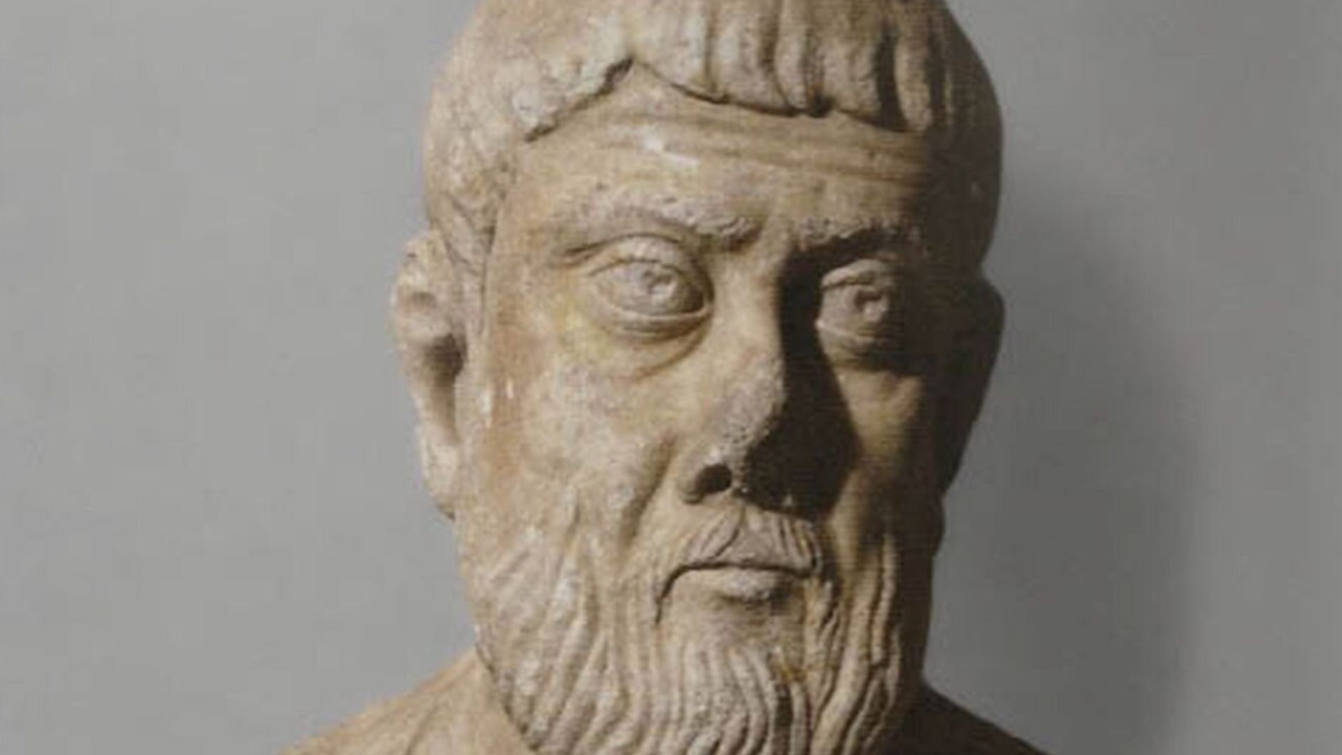
One of the most intriguing leads came from the Roman historian Ammianus Marcellinus. He described a massive tsunami in AD 365 that followed a powerful earthquake near Crete. According to his account, waves tore across the Mediterranean, devastating coastal cities.
For years, scholars wondered whether Neapolis had been one of those casualties. The theory lingered—but without underwater proof, it remained just that.
The Search Moves Offshore
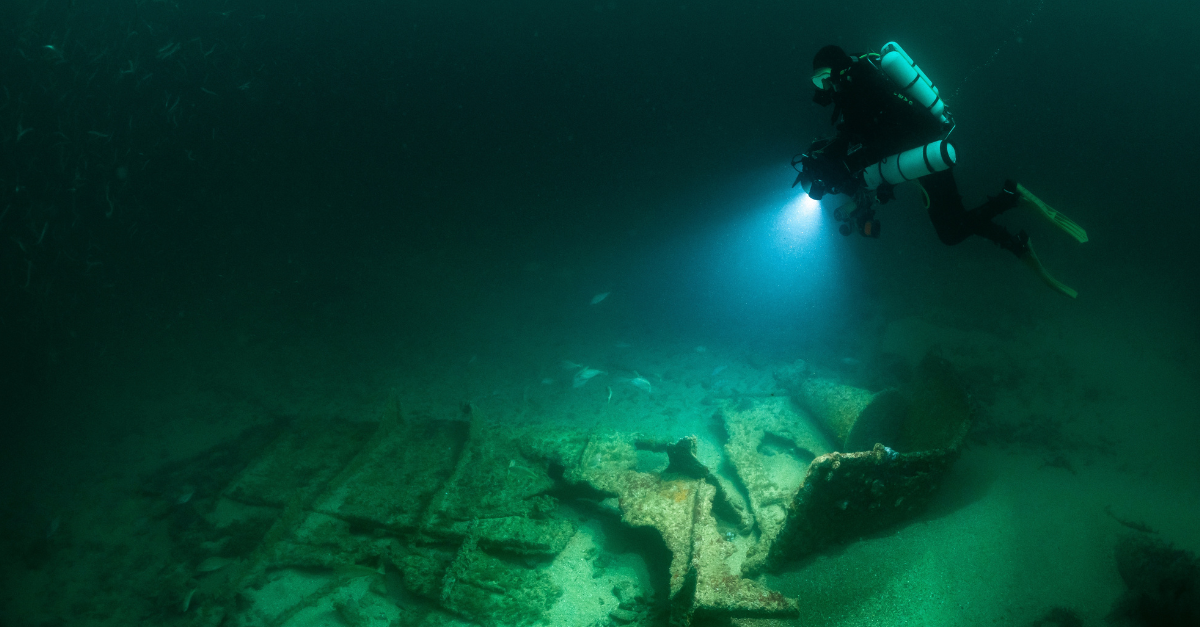
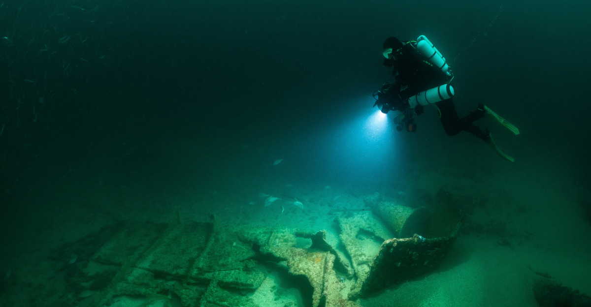
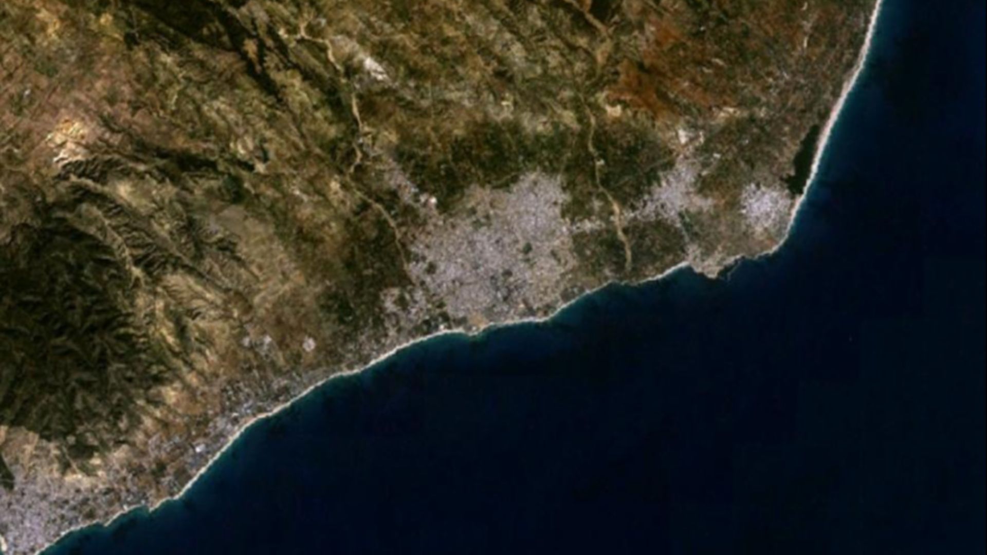
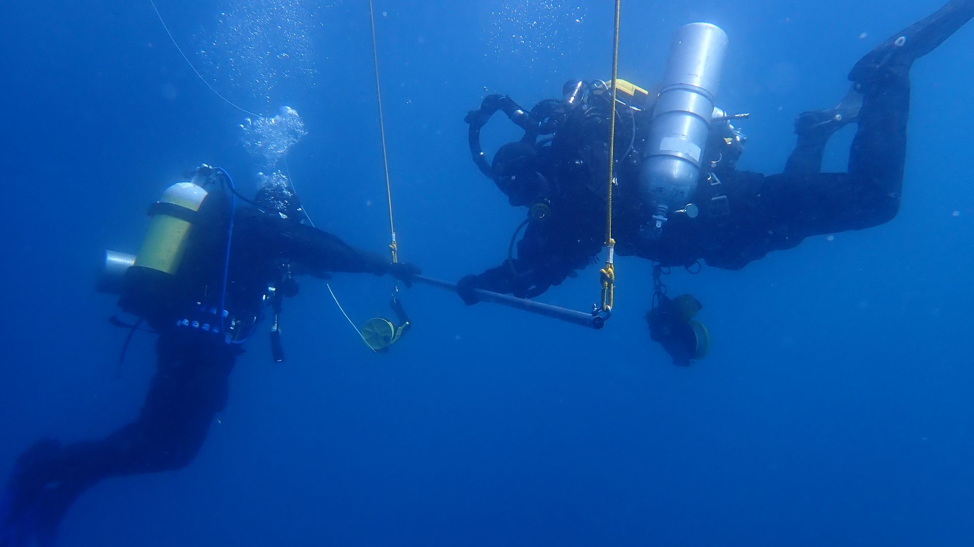
In 2010, a joint Tunisian-Italian archaeological mission began investigating the coastline near Nabeul. If Neapolis had truly been struck by a tsunami, some part of it might now lie offshore. Instead of digging through sand, researchers turned their attention to the sea.
Marine archaeology isn’t glamorous treasure hunting—it’s methodical surveying, mapping, and careful documentation. And patience, as it turns out, pays off.
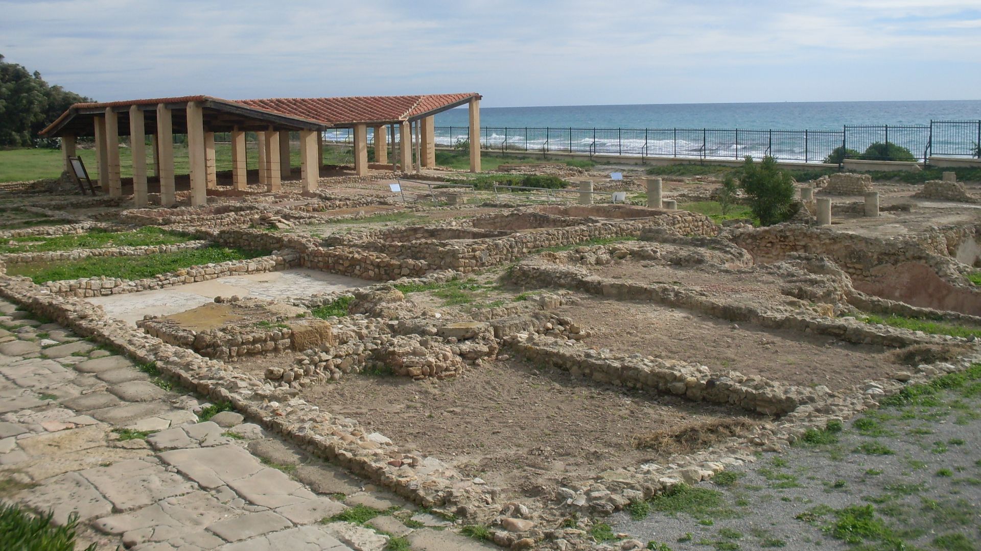
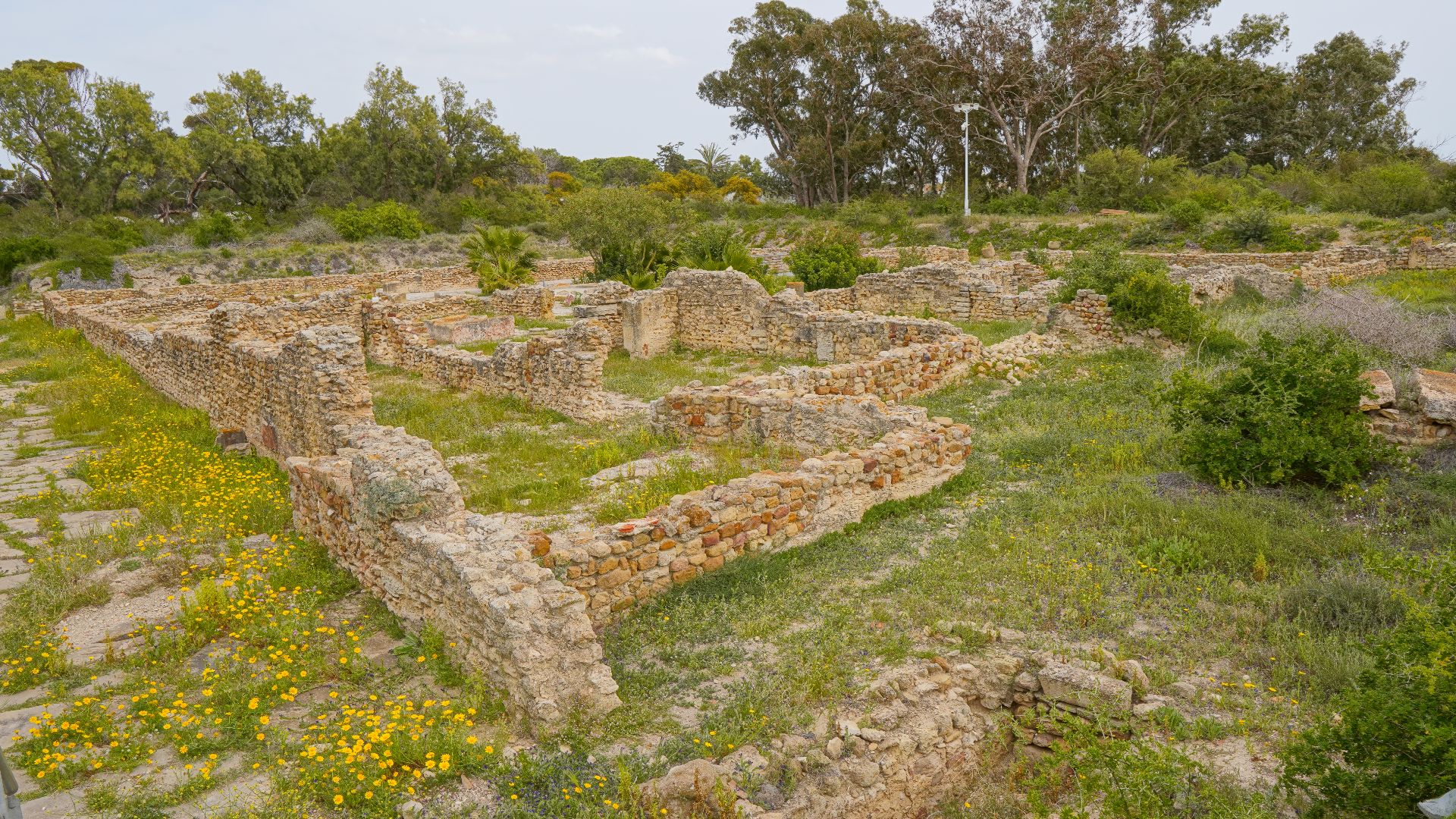
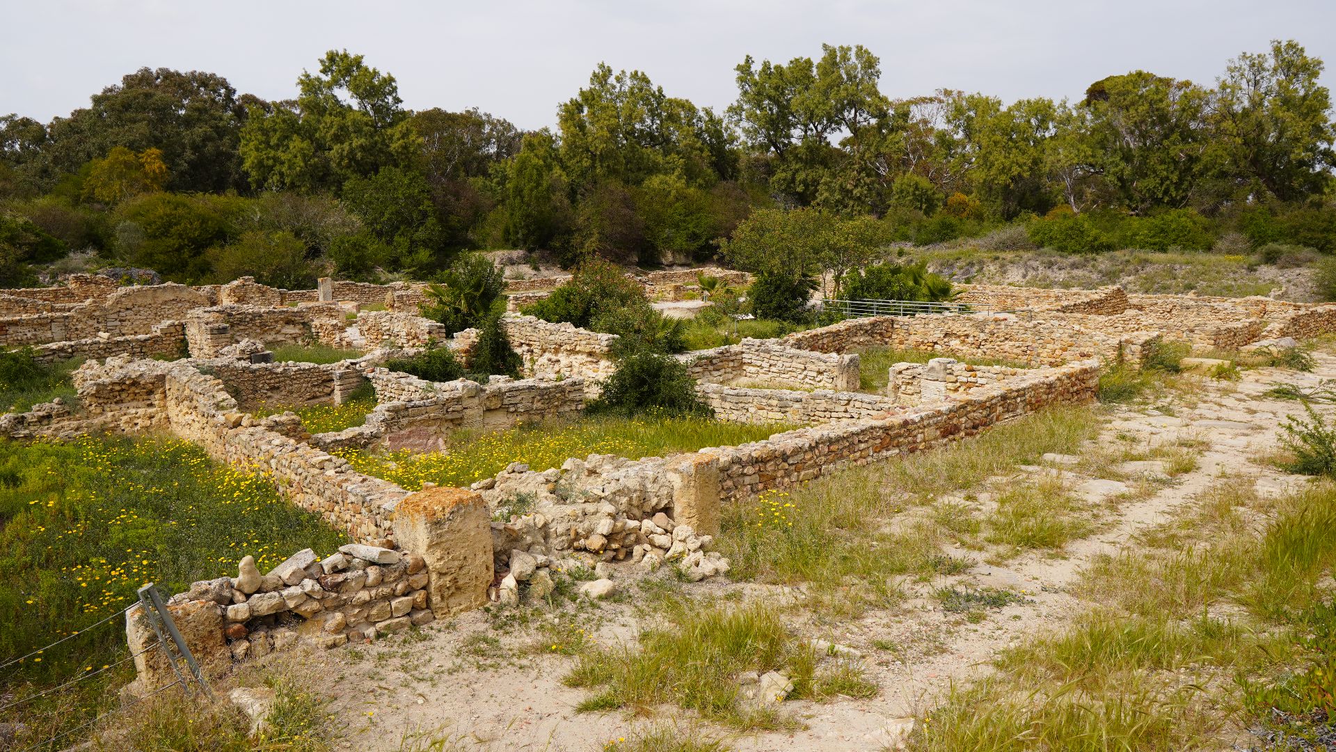
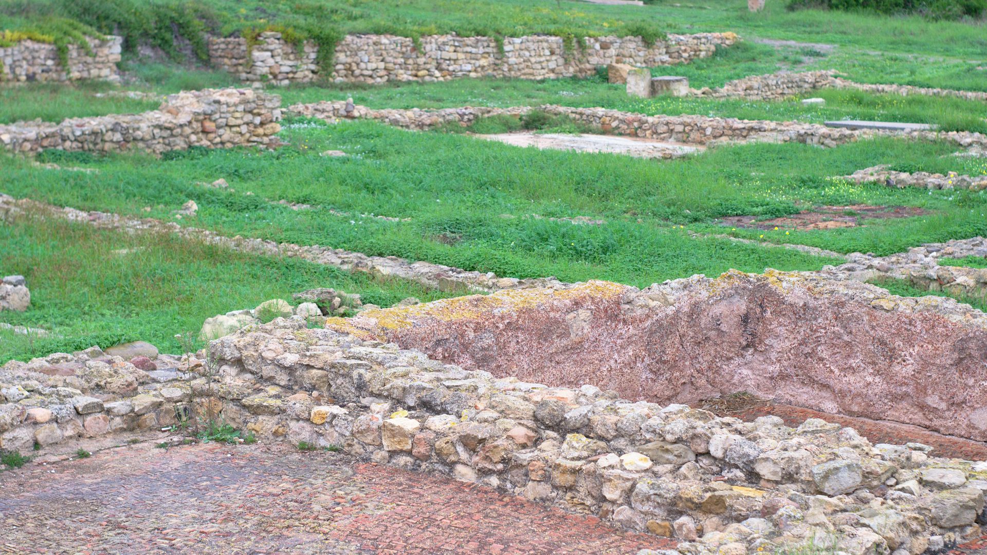
Fifty Acres Beneath The Surface
What they eventually found was staggering. More than 20 hectares—roughly 50 acres—of submerged ruins stretched across the seabed. This wasn’t scattered debris from a storm. It was an organized urban space.
Walls, blocks of stone, and clear structural layouts suggested a planned district, not random rubble. Suddenly, Neapolis wasn’t hypothetical anymore.
Streets That Lead Nowhere
Among the ruins were traces of what appear to be streets and building foundations. Even underwater, the city’s layout hints at order and infrastructure. You can almost imagine the rhythm of daily life that once unfolded there.
Now those same paths lead only to open water—a quiet reminder of how dramatically coastlines can change.
 Amina Chaker, Wikimedia Commons
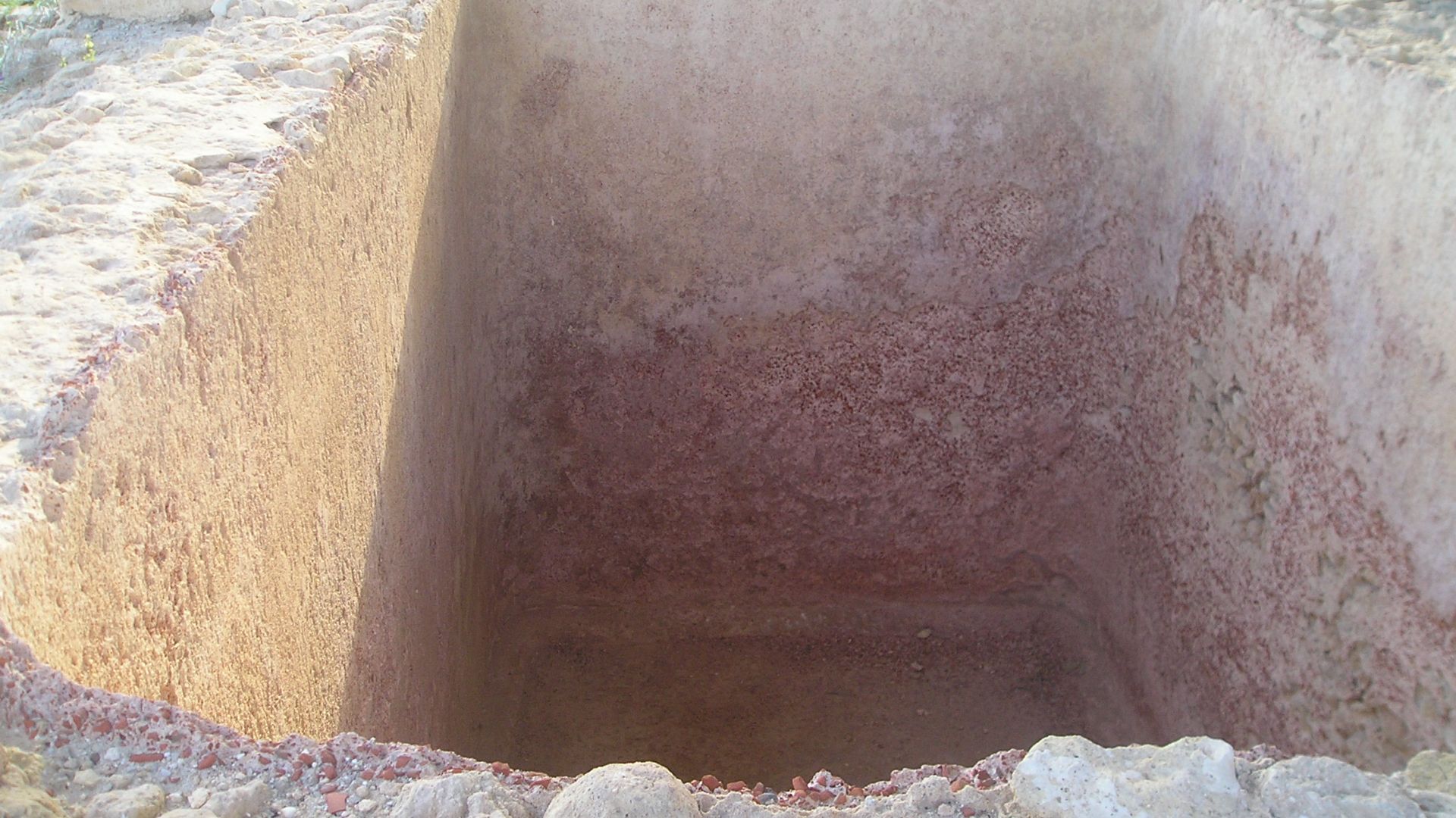
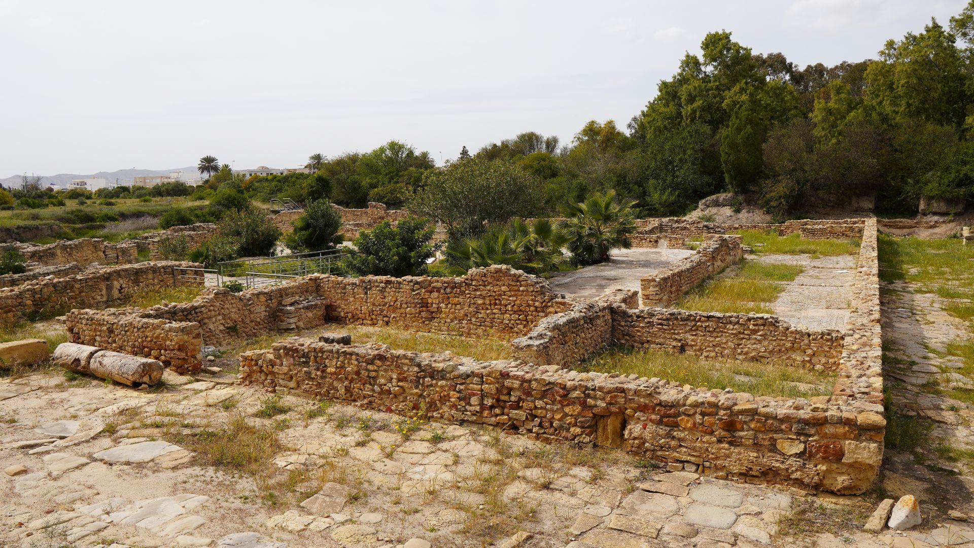
The Garum Empire
Perhaps the most revealing discovery was industrial. Archaeologists identified around 100 large vats used to produce garum—the fermented fish sauce Romans were famously obsessed with. If olive oil was Rome’s fuel, garum was its flavor.
The scale of production suggests Neapolis wasn’t a sleepy fishing village. It was a serious manufacturing center plugged directly into Mediterranean trade routes.
Wealth In A Very Pungent Package
Garum wasn’t just a condiment—it was big business. The presence of so many processing vats indicates substantial output and export potential. Neapolis likely supplied far more than its own local population.
In other words, this city smelled like success.
 Verity Cridland, Wikimedia Commons
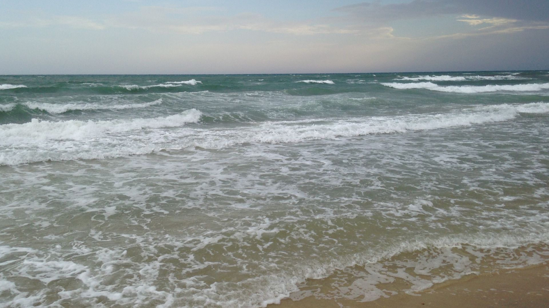
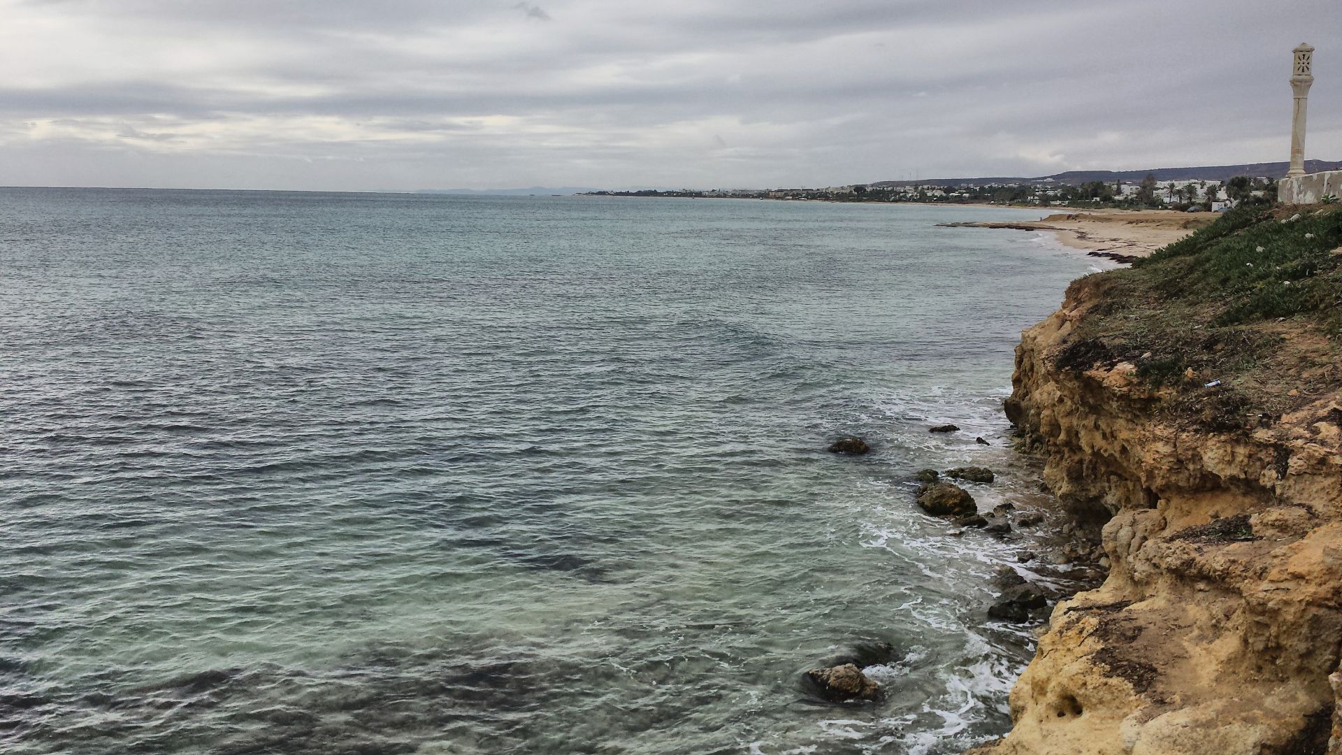
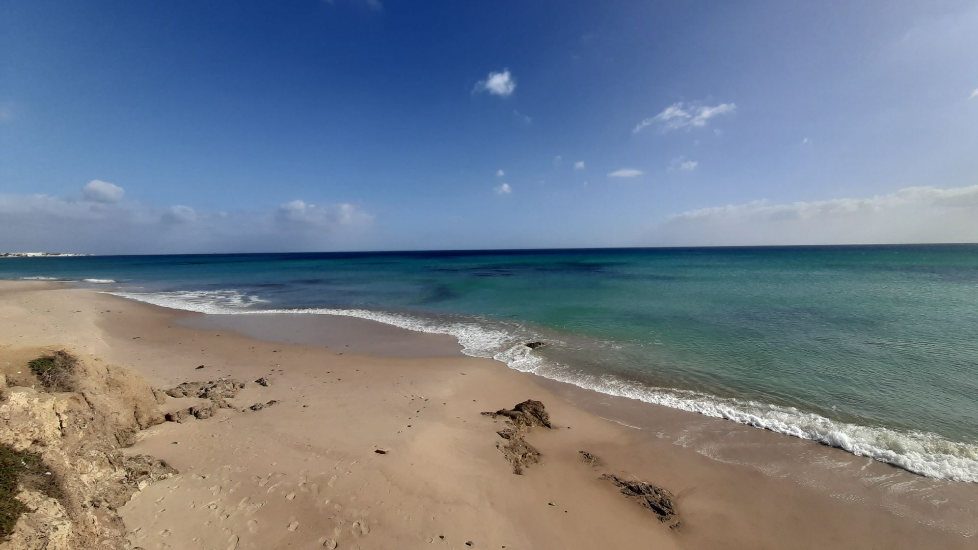
A Tsunami That Rewrote The Coastline
The AD 365 earthquake near Crete is believed to have triggered a tsunami that slammed into multiple Mediterranean shores. Geological studies support the idea that the waves were powerful and far-reaching.
The newly discovered underwater district aligns uncannily well with those historical descriptions. What was once dry land now sits meters below the surface—exactly where a catastrophic wave might have left it.
Nature’s Sudden Edit
Unlike gradual sea-level rise, a tsunami can rewrite geography in hours. Entire sections of coastline can collapse, flood, or shift. Ports are especially vulnerable.
If Neapolis lost a major portion of its urban and industrial core in a single event, its decline would have been swift—and brutally practical.
 Habib M'henni, Wikimedia Commons
The City That Didn’t Fully Disappear
Interestingly, Neapolis did not vanish overnight in a puff of myth. Parts of it remained inhabited for centuries. But losing a substantial coastal district—especially one tied to commerce—would have dealt a severe blow.
Sometimes cities don’t need to be completely destroyed to fade. They just need to lose their economic heartbeat.
 Habib M'henni, Wikimedia Commons
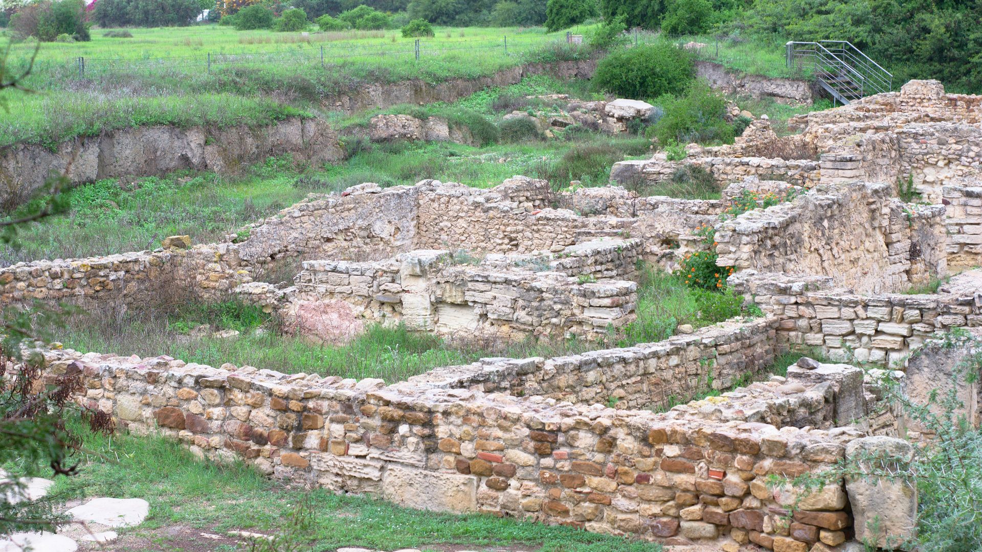
Why The Land Alone Wasn’t Enough
Excavations on land had revealed pieces of Neapolis before, but not enough to explain its scale or significance. The missing puzzle pieces were underwater.
Marine archaeology expanded the boundaries of the city—literally. What had seemed modest on land turned out to be far more expansive offshore.
 Habib M'henni, Wikimedia Commons
Technology Meets Antiquity
This discovery relied on modern marine surveying techniques and coordinated dive missions. Mapping submerged ruins requires precision and persistence.
Without these tools, Neapolis might have stayed in the footnotes—mentioned in texts but never fully confirmed.
 Peter Southwood, Wikimedia Commons
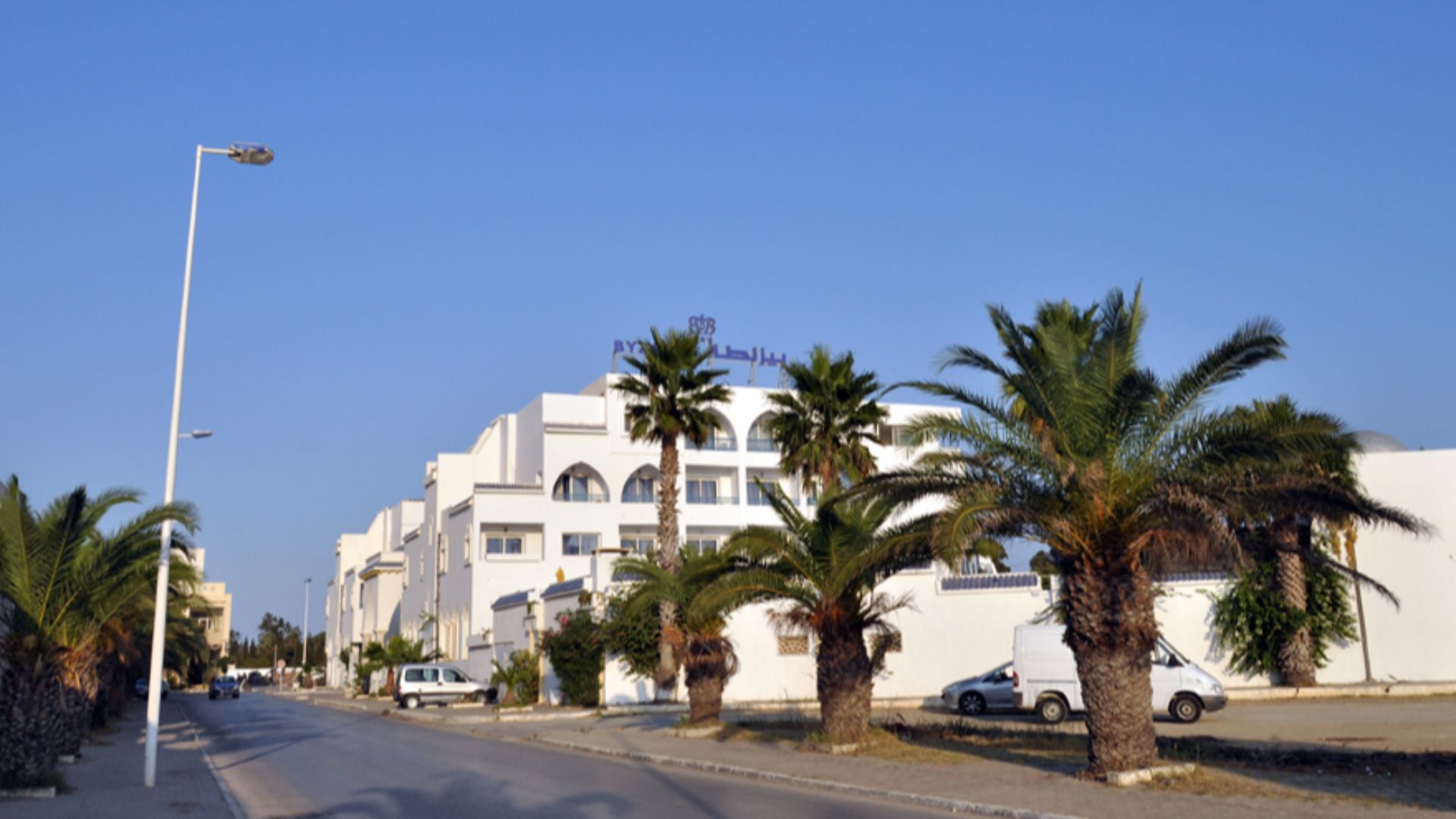
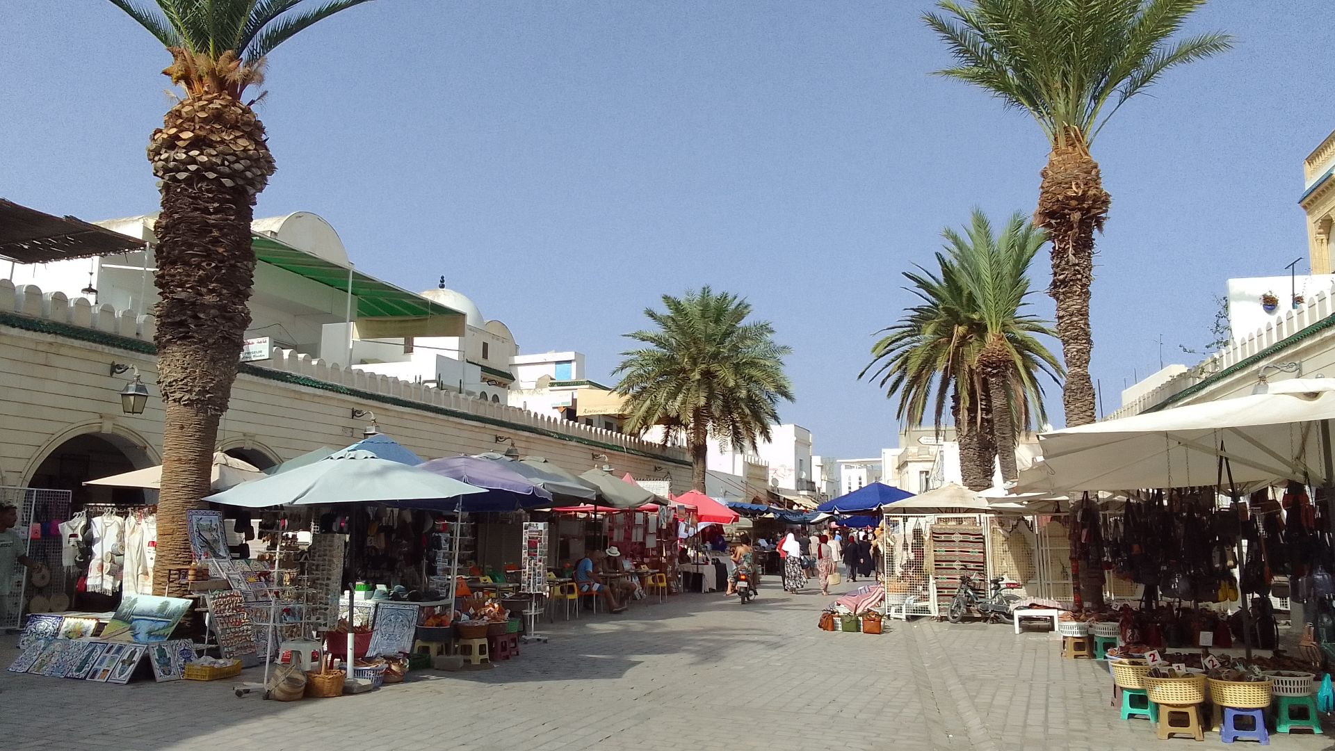
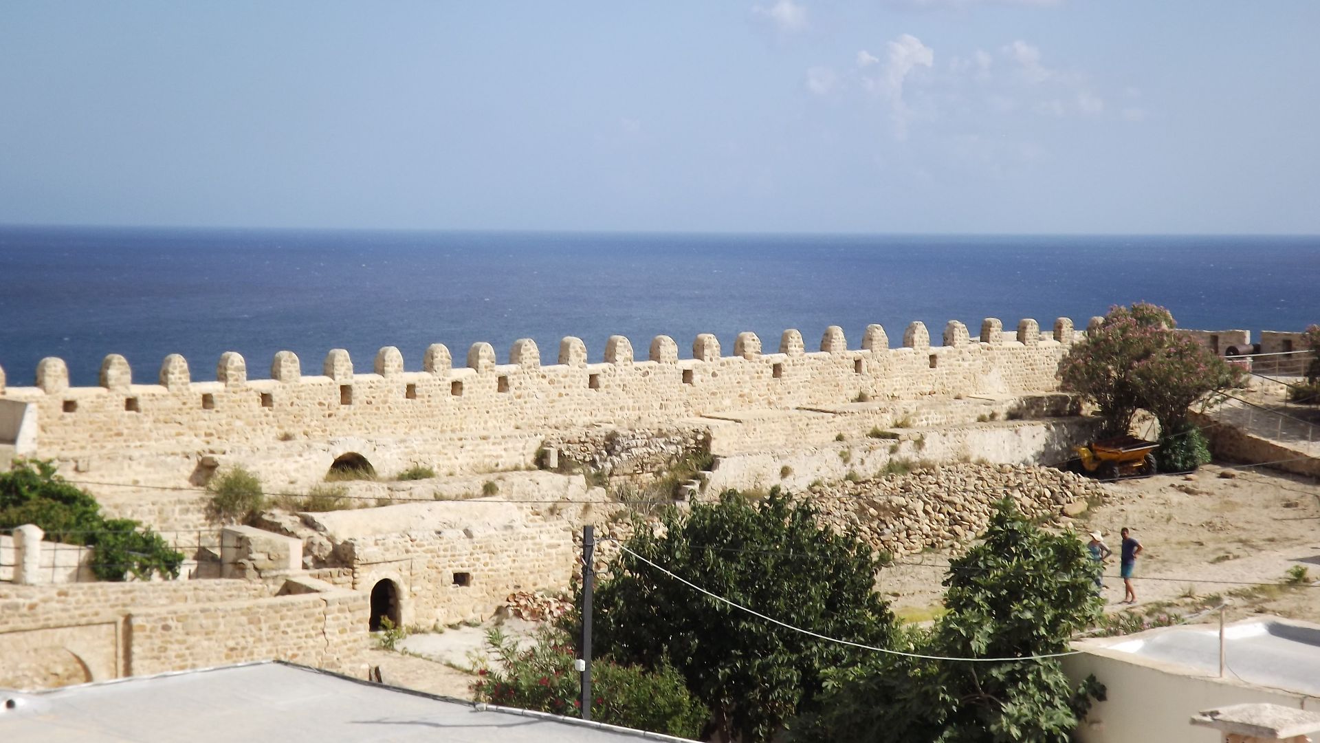
Tunisia’s Roman Coastline
Roman North Africa was a powerhouse of agriculture and trade. Cities along the Tunisian coast exported goods across the empire, linking Africa to Europe and beyond.
Neapolis now appears to have been a much more significant player in that network than previously understood.
 Mathieu BROSSAIS, Wikimedia Commons
A More Complete Urban Picture
The underwater structures give researchers insight into zoning and city planning. Industrial areas, storage facilities, and built infrastructure reveal how the city functioned day to day.
It’s one thing to read about Roman commerce. It’s another to see the physical footprint of it resting on the ocean floor.
 Habib M'henni, Wikimedia Commons
The Myth That Turned Out To Be Measured
For years, the idea that a tsunami swallowed part of Neapolis felt dramatic—almost too neat. But archaeology thrives on evidence, not theatrics.
Here, the physical remains match the written record in striking ways. History and geology appear to be telling the same story.
 Habib M'henni, Wikimedia Commons
Reconstructing A Disaster Without Instruments
No seismographs recorded the AD 365 quake. No cameras captured the waves. Researchers rely on sediment patterns, structural displacement, and comparative geology to reconstruct the event.
 Khemirasameh, Wikimedia Commons
What This Means For Ancient Urban Studies
The discovery forces historians to reconsider how vulnerable ancient port cities were to sudden environmental shocks. Coastal settlements may have been more fragile than their monumental ruins suggest.
 Youssefbensaad, Wikimedia Commons
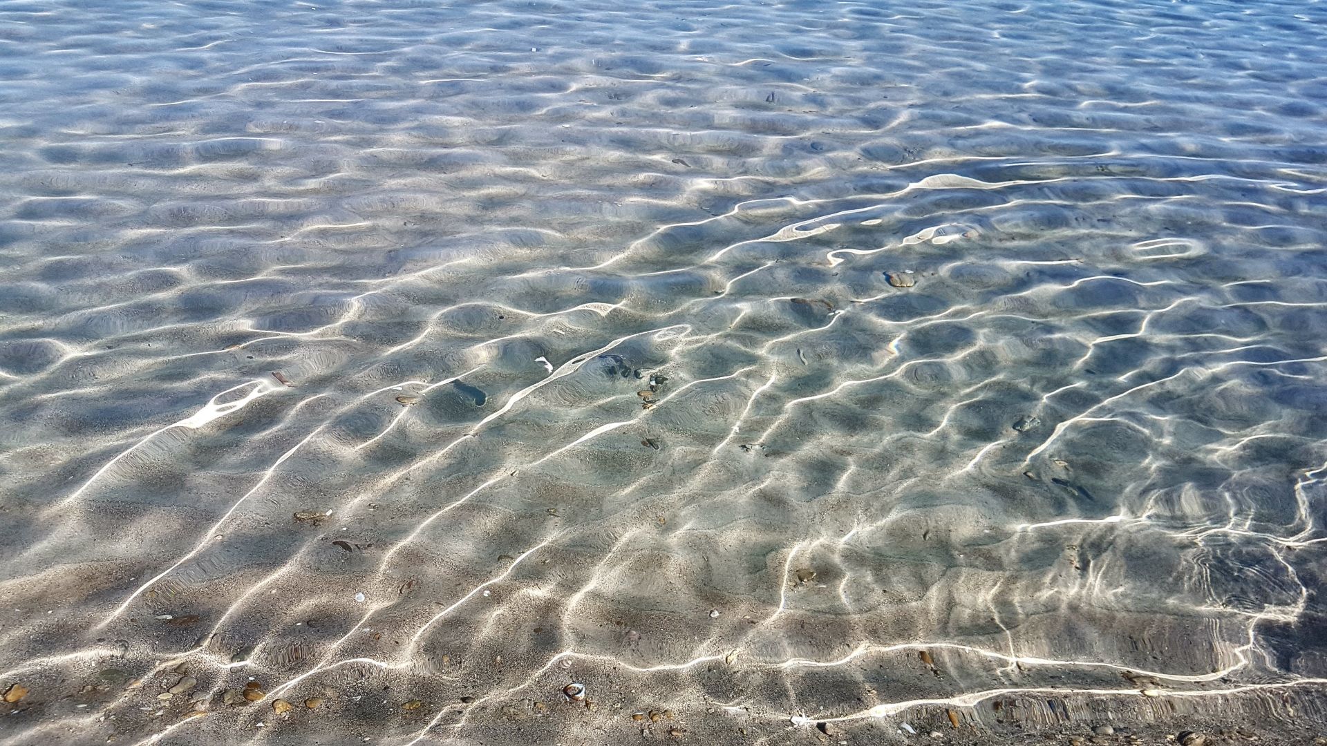
The Sea As Archivist
Water can destroy—but it can also preserve. Submerged ruins are often shielded from later construction and looting. In an ironic twist, the same wave that likely damaged Neapolis may have helped protect part of its story.
 Habib M'henni, Wikimedia Commons
A Disappearance Finally Explained
The underwater ruins off Tunisia don’t just confirm a city’s location—they clarify its fate. Neapolis didn’t simply decline into obscurity. It endured a powerful natural disaster that reshaped its coastline and economic future. After centuries of debate, the legendary disappearance of this Roman city looks less like myth—and more like geology in action.
 Habib M'henni, Wikimedia Commons
You May Also Like:
Photos Of The Tribe That Fled To Canada To Escape U.S. Control
Source: 1