East Coast, Different Rules
Atlantic Canada can feel familiar to American visitors at first, but the differences start piling up quickly. The region’s geography, weather, food, languages, transportation, and relationship with the ocean give it a character that is distinctly its own. A road trip through the four Atlantic provinces makes those contrasts especially hard to miss.
Atlantic Canada Is Bigger Than “The Maritimes”
The terms are not interchangeable. The Maritimes are New Brunswick, Nova Scotia, and Prince Edward Island, while Atlantic Canada also includes Newfoundland and Labrador, giving the region four provinces with noticeably different landscapes and cultures.
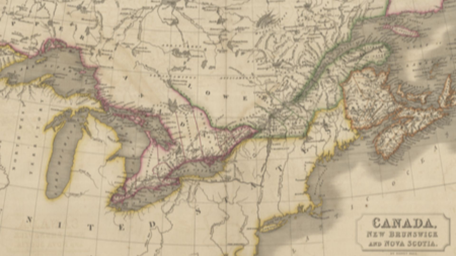 Sidney Hall, Wikimedia Commons
The Ocean Seems To Be Everywhere
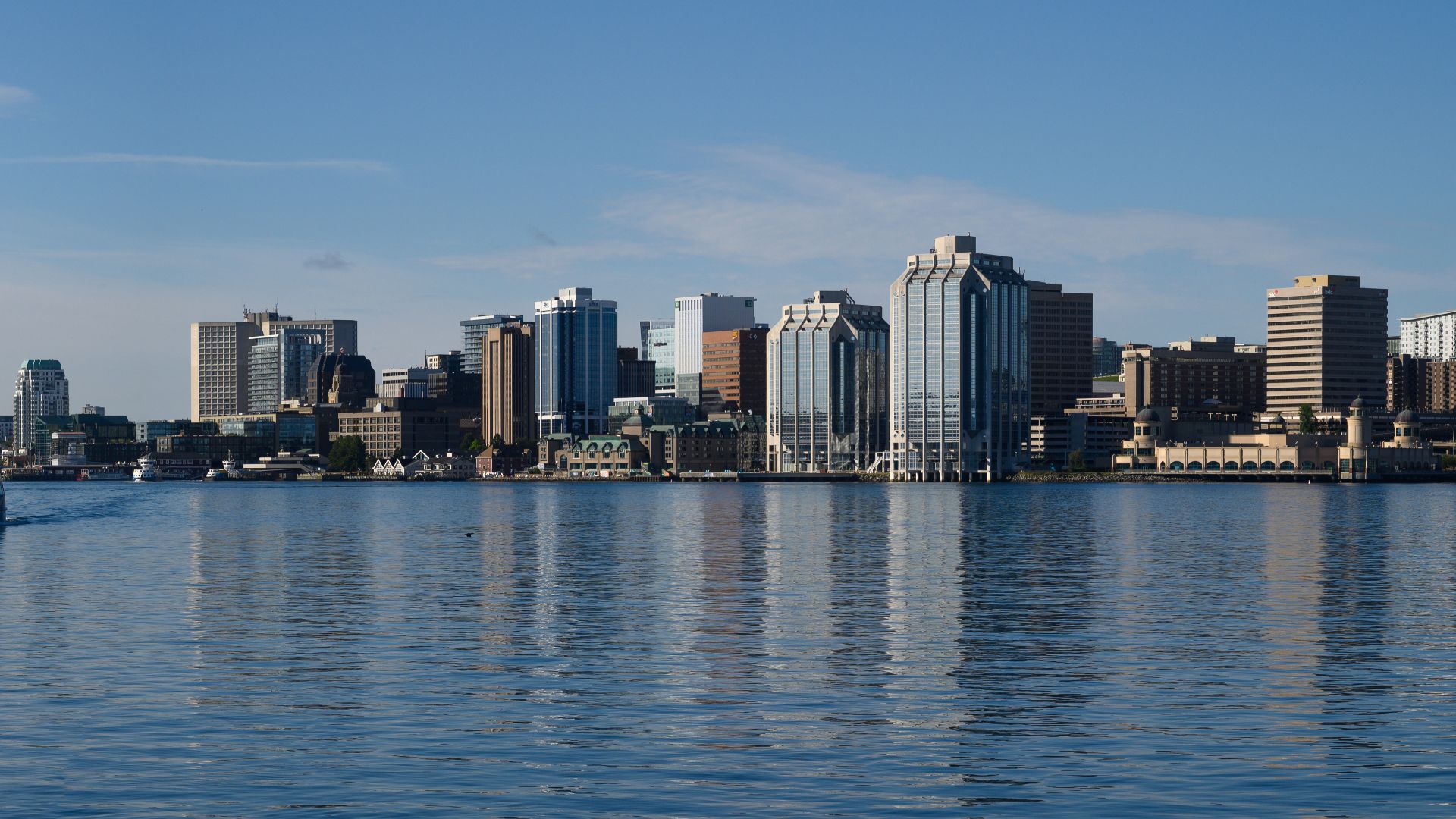
In Nova Scotia, the sea is more than scenery around the edges. The province is bordered by the Atlantic Ocean, Bay of Fundy, and Northumberland Strait, and those waters strongly influence its weather, food, and coastal communities.
 Gordon Leggett, Wikimedia Commons
The Weather Can Change Fast
Atlantic Canada’s unpredictable weather has a factual basis. Federal marine guidance describes rapidly developing storms and changeable conditions across the region, so sunshine can be followed by wind, cloud, rain, or a noticeable temperature shift.
Fog Is Part Of The Coastal Experience
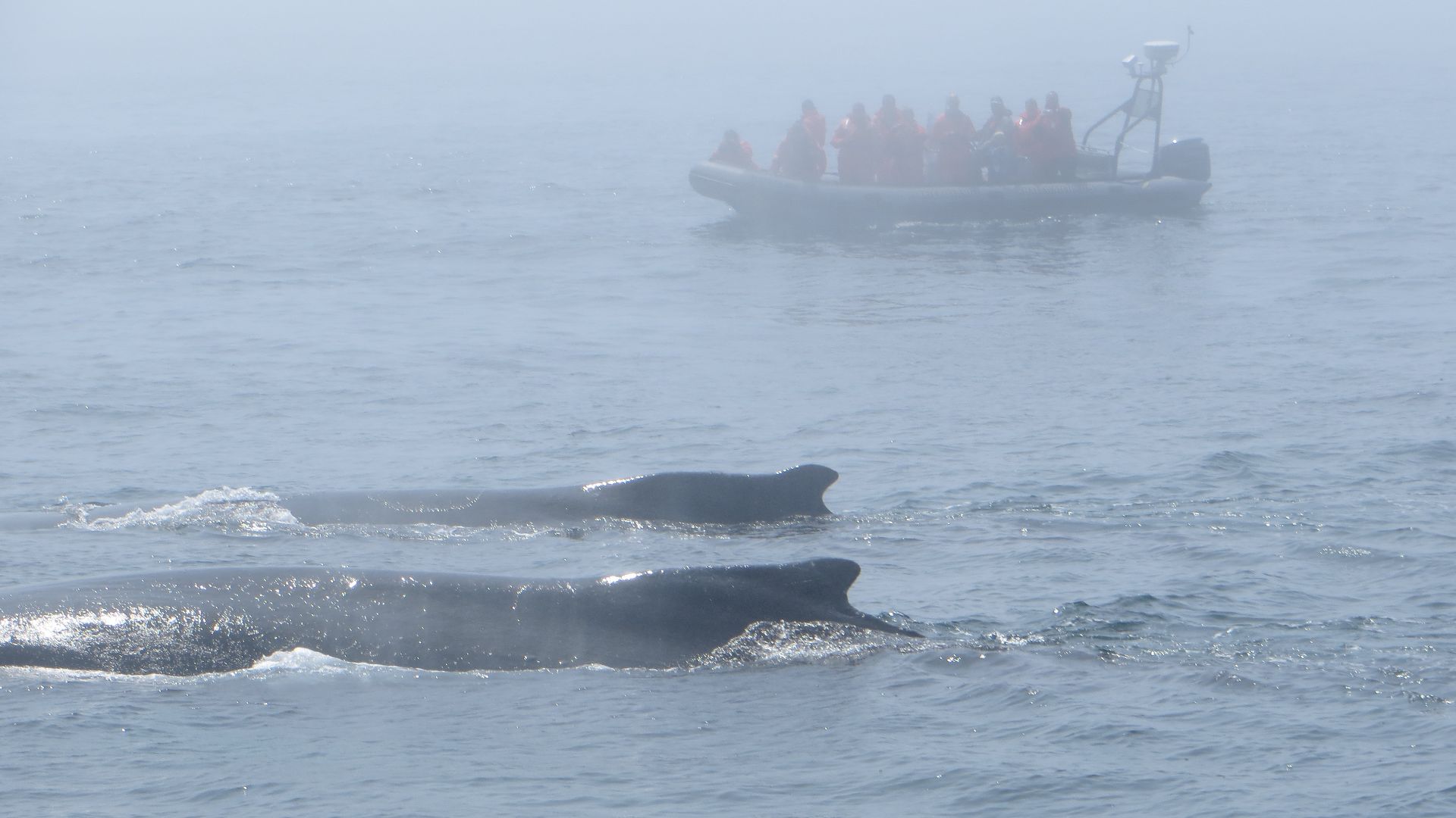
Coastal fog is especially common in spring and early summer, with Atlantic Canada’s fog season peaking in July. Warm, humid air moving over cold ocean water helps produce the thick banks often seen near Nova Scotia and Newfoundland.
 User: Mlouisebarbour, Wikimedia Commons
The Bay Of Fundy Tides Are Enormous
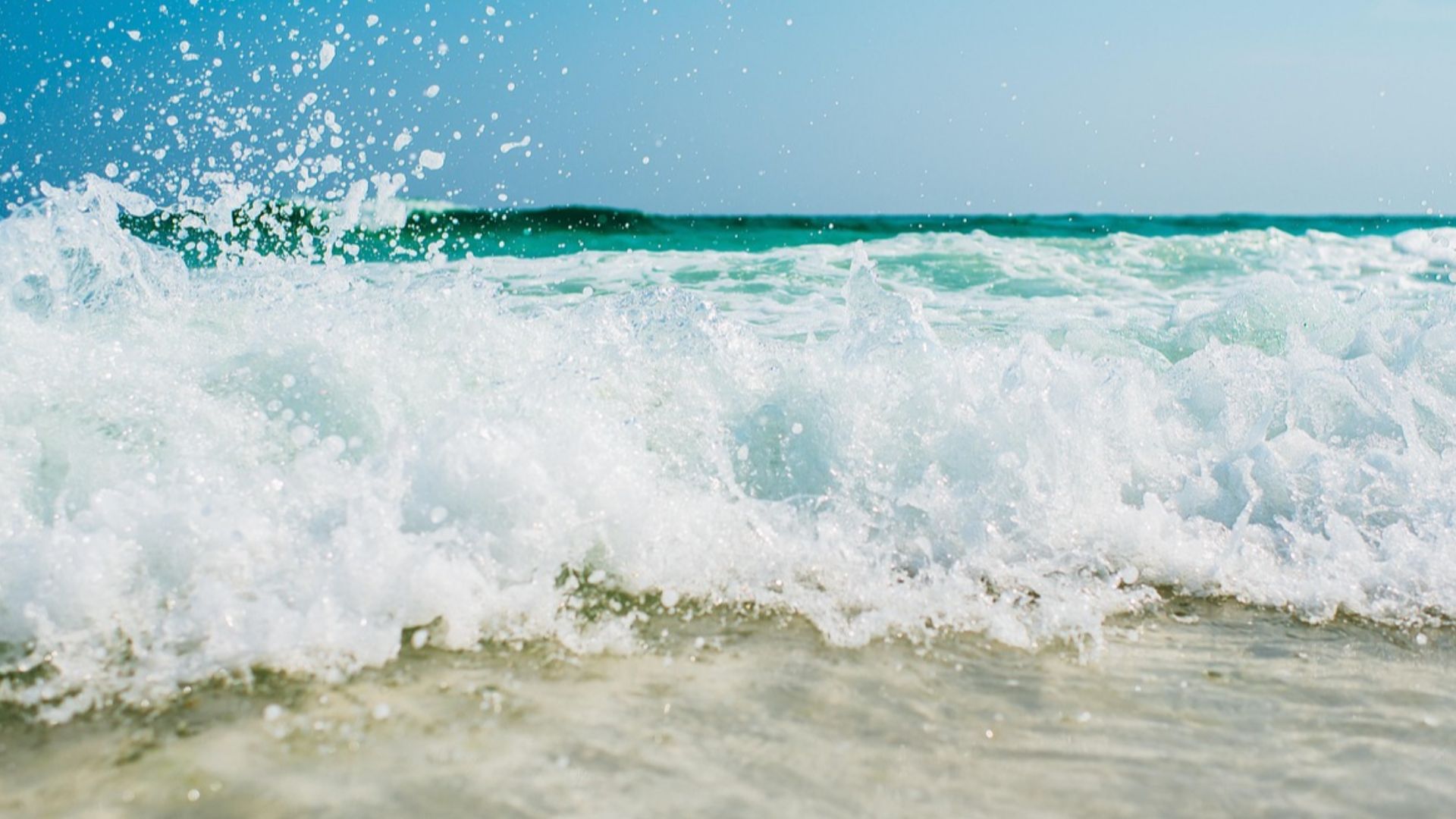
Even travelers familiar with tides may be startled by the Bay of Fundy. Parks Canada says tides there can measure roughly nine to 12 metres, dramatically changing beaches, harbours, mudflats, and shorelines within a day.
You Can Literally Walk On The Ocean Floor
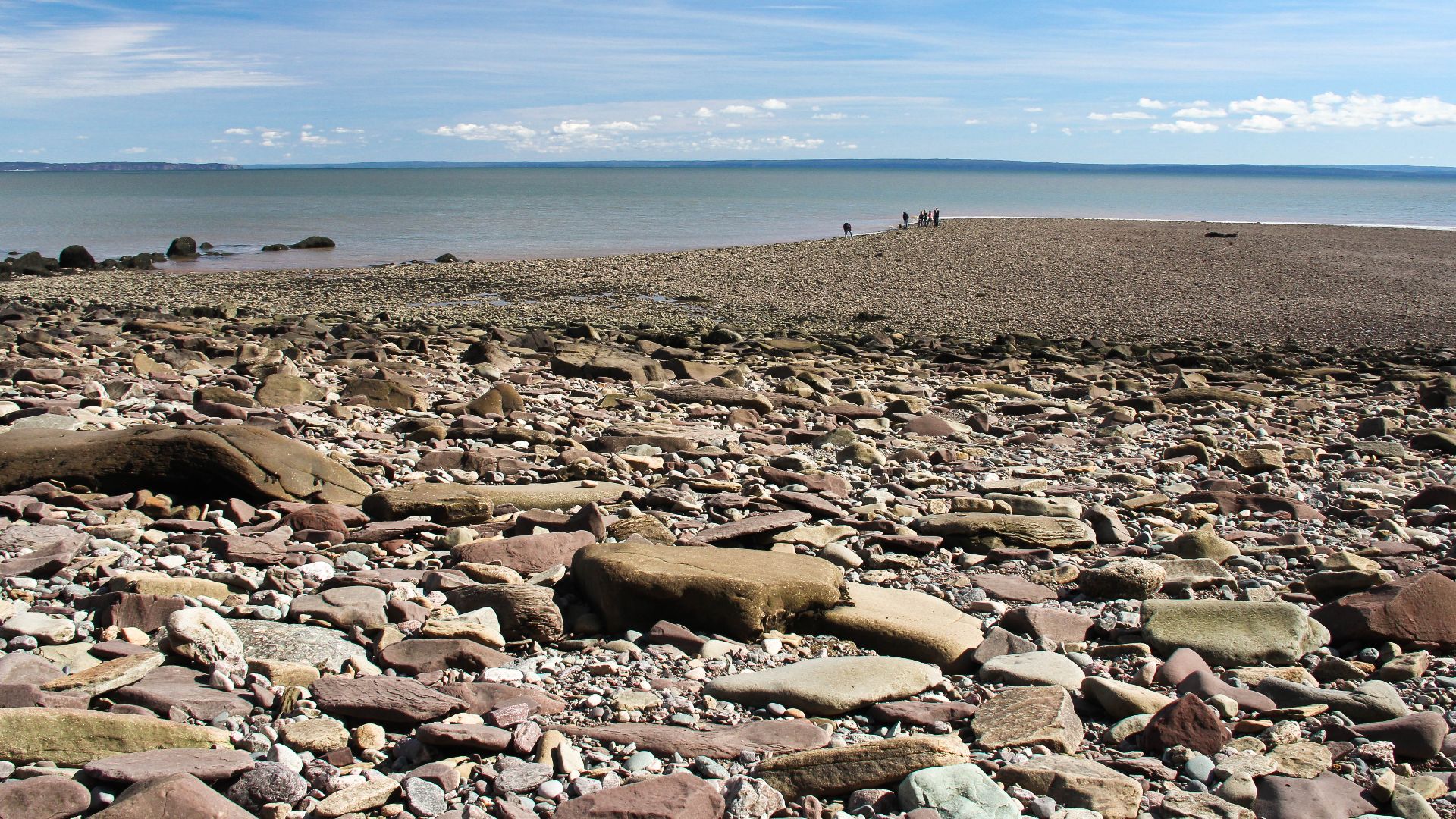
At low tide, parts of the Bay of Fundy expose broad stretches of seafloor that disappear when the water returns. Parks Canada encourages visitors to explore these tidal areas, but stresses checking tide times first.
A River Can Suddenly Appear To Flow Backward
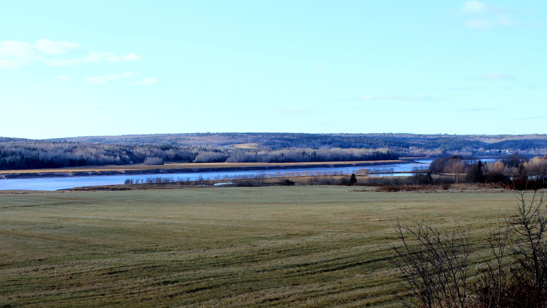
In Moncton, New Brunswick, the Petitcodiac River puts on an unusual show. The Bay of Fundy’s incoming tide can overpower the river’s flow, creating a tidal bore that moves upstream and quickly raises the water behind it.
 Darjeering 112, Wikimedia Commons
PEI’s Soil Really Is That Red
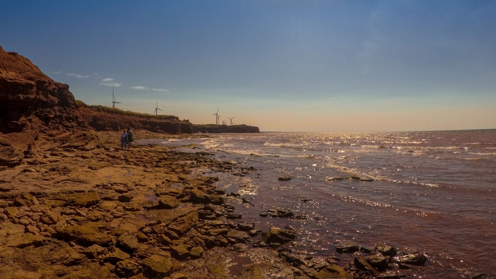
Prince Edward Island’s famous red dirt is not enhanced for tourism photos. The provincial government says the color comes from high iron-oxide content, the same chemistry associated with rust, making fields and coastal cliffs especially vivid.
 Jared Rover from Toronto, Canada, Wikimedia Commons
The Confederation Bridge Feels Endless
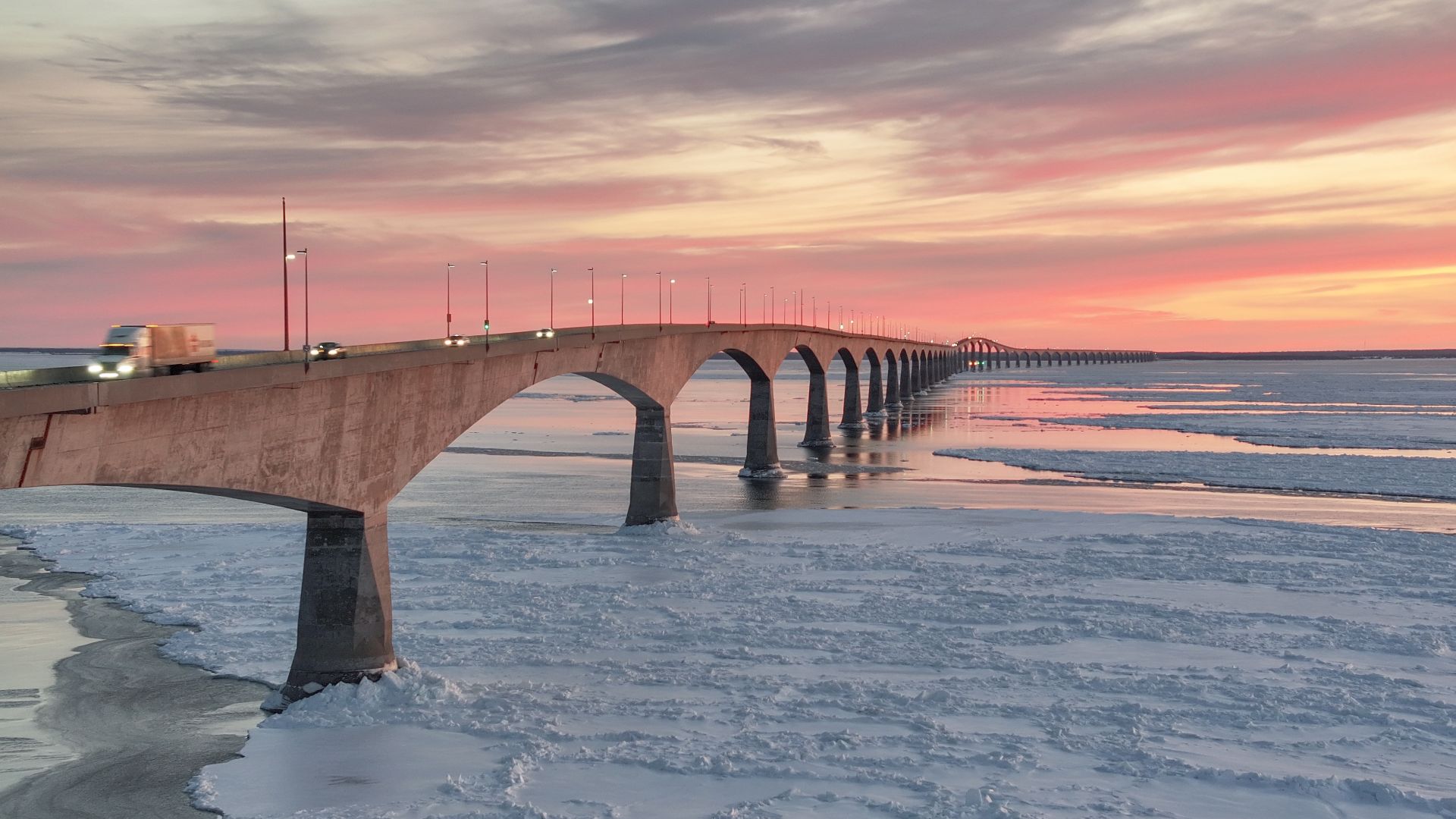
The fixed link between New Brunswick and Prince Edward Island stretches 12.9 kilometres, or about eight miles. Opened in 1997, it crosses the Northumberland Strait and is described by its operator as the world’s longest bridge over ice-covered water.
 Quintin Soloviev, Wikimedia Commons
Newfoundland Has A Half-Hour Time Zone
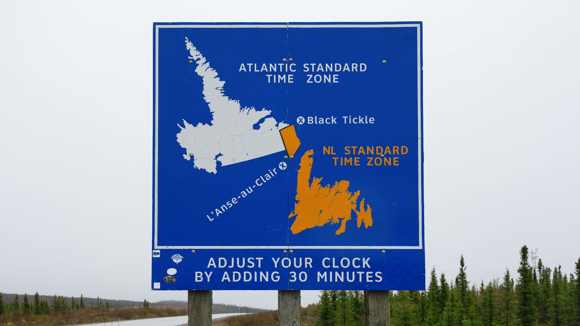
This one can scramble an American visitor’s sense of time. Newfoundland Standard Time is UTC minus 3.5 hours, while Atlantic Standard Time is UTC minus four, putting most of Newfoundland 30 minutes ahead of the Maritime provinces.
 Quintin Soloviev, Wikimedia Commons
Ferries Are Serious Transportation
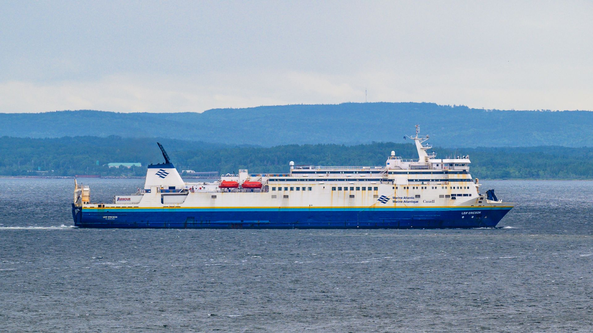
A ferry may be a major travel leg rather than a quick sightseeing ride. Marine Atlantic’s year-round North Sydney–Port aux Basques crossing takes about seven hours, while the seasonal North Sydney–Argentia route takes roughly 16.
 Gordon Leggett, Wikimedia Commons
Newfoundland Is Much Bigger Than It Looks
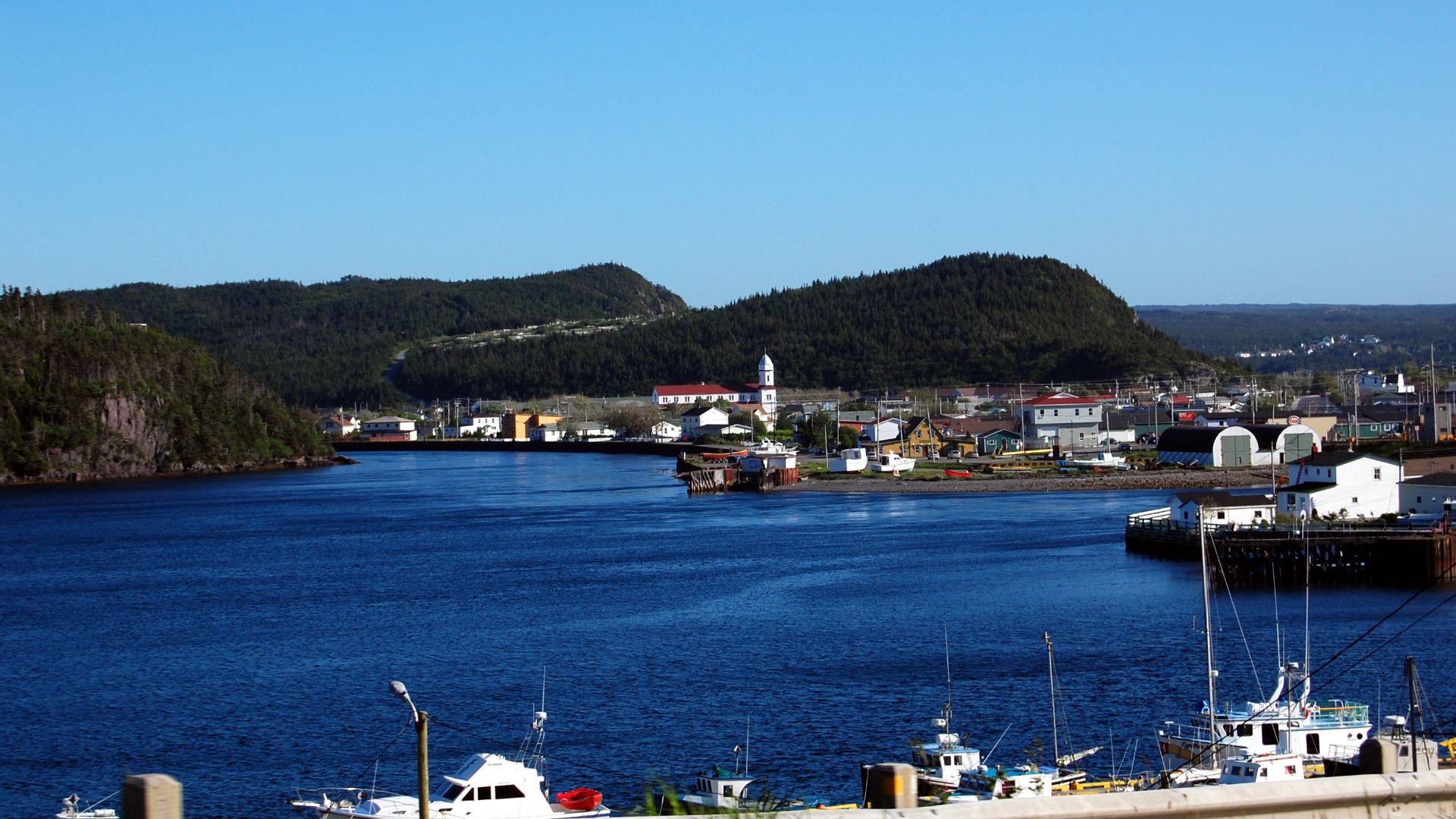
The island of Newfoundland can seem compact on a map until the driving begins. Its tourism agency puts Port aux Basques to St. John’s at about 902 kilometres and nine hours 20 minutes before stops or delays.
 Jeremy T. Hetzel from Boston, USA, Wikimedia Commons
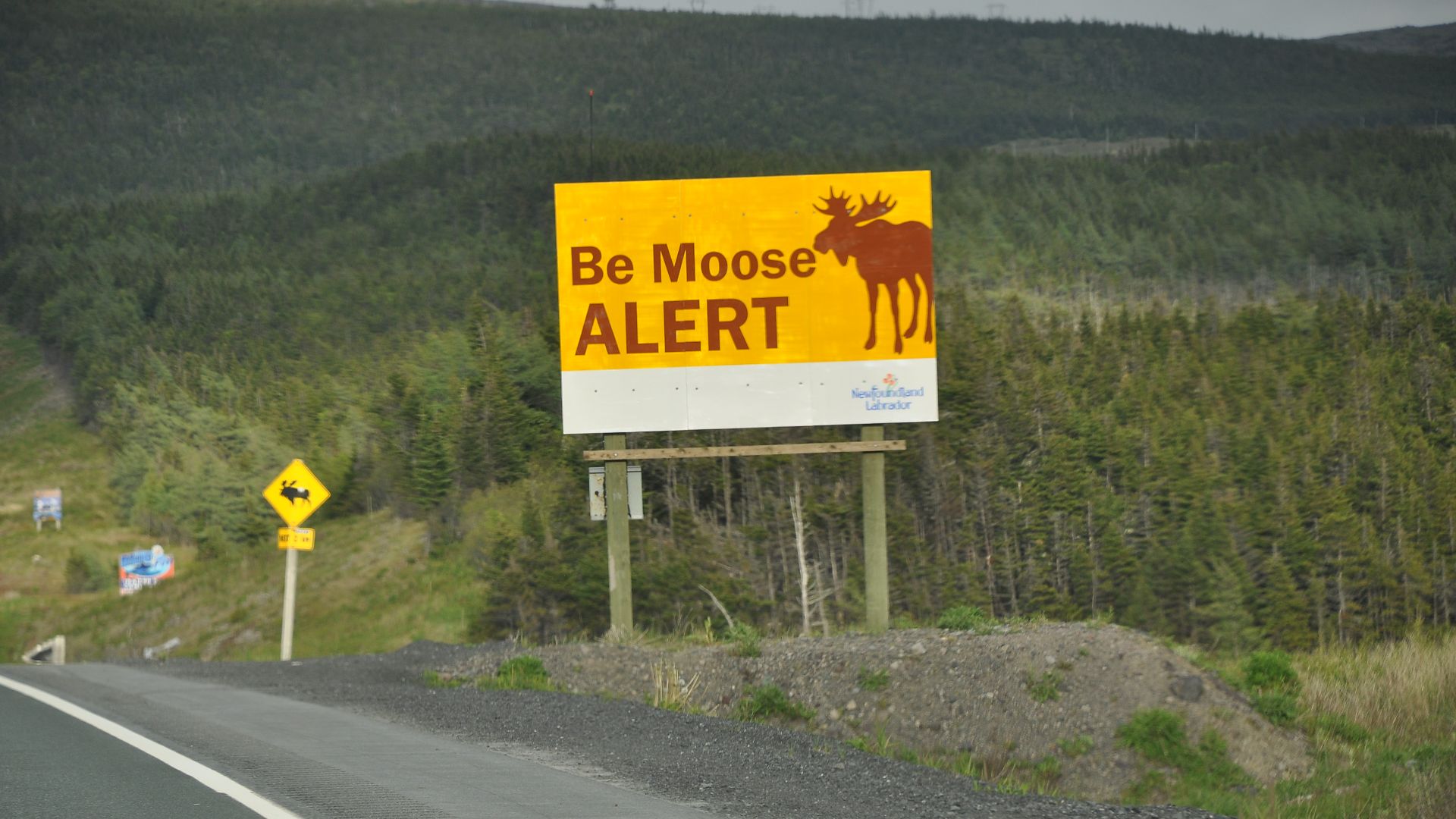
Moose Warning Signs Are Not Decorative
Roadside moose signs in Newfoundland deserve attention. The provincial transportation department says signs marking frequent crossing areas indicate real risk and specifically urges extra caution after dark, when spotting animals becomes more difficult.
 https://www.flickr.com/photos/shankaronline/, Wikimedia Commons
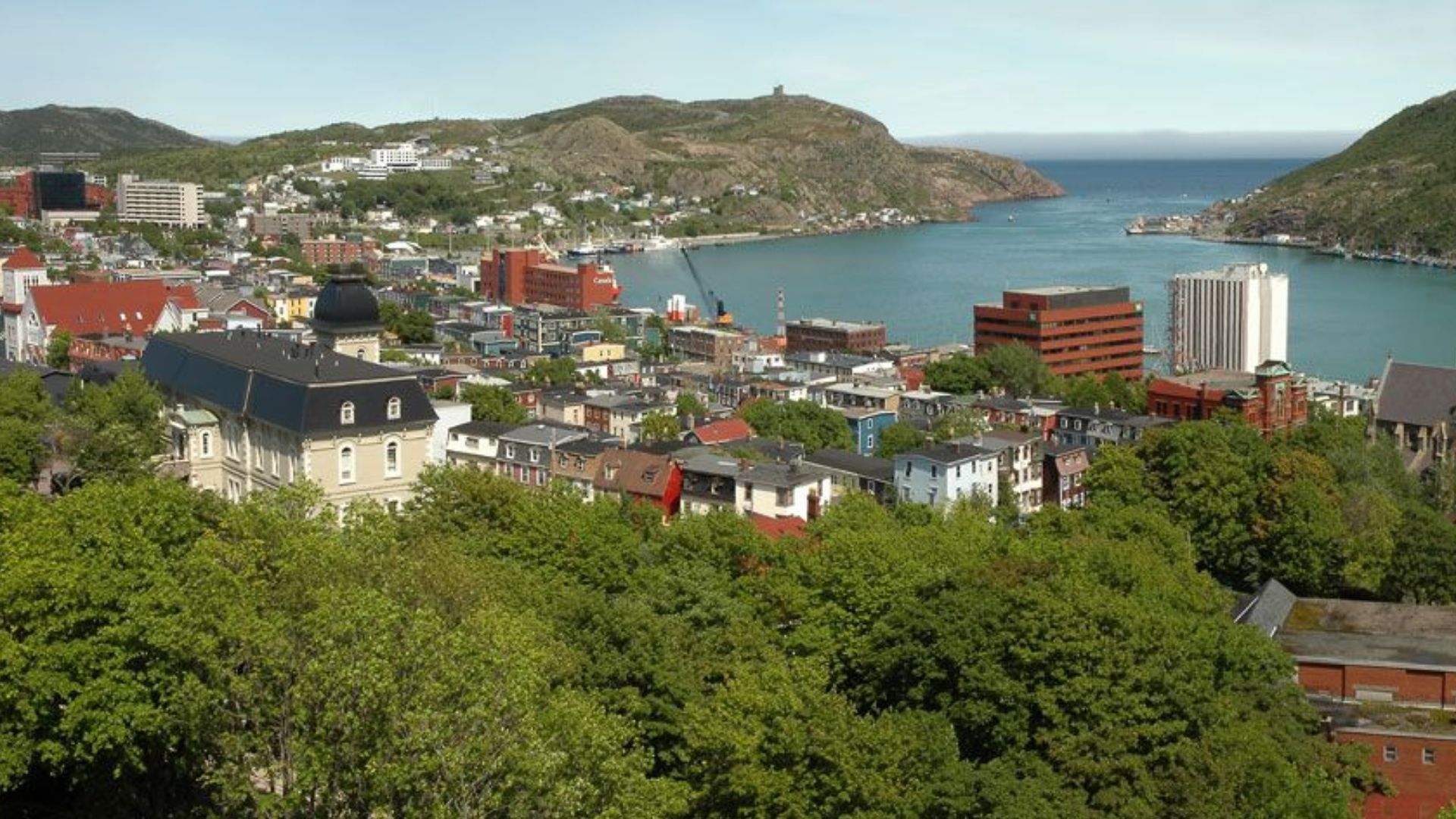
St. John’s Is Steep, Tight, And Colorful
Downtown St. John’s looks different from a typical North American grid. Narrow streets climb hills while tightly packed wooden homes in bright colors create the famously photogenic look commonly called Jellybean Row.
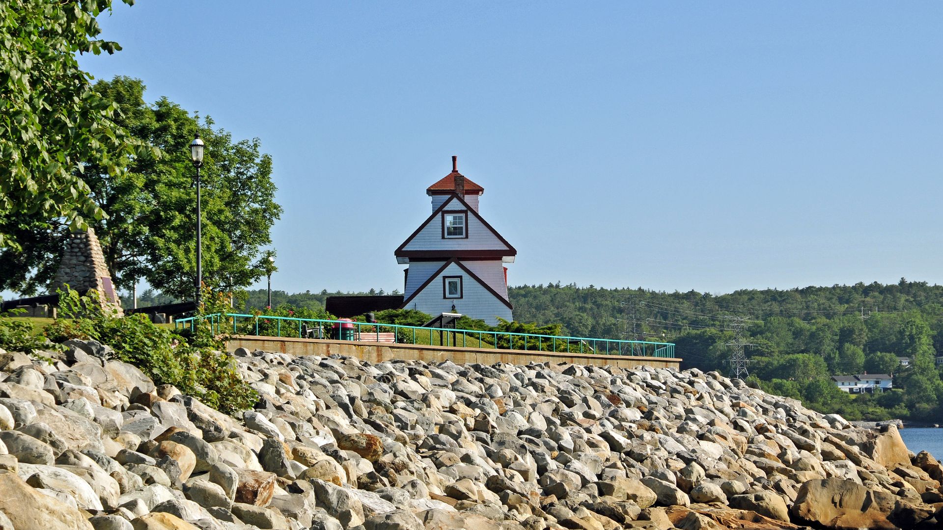
Lighthouses Are Hard To Avoid In Nova Scotia
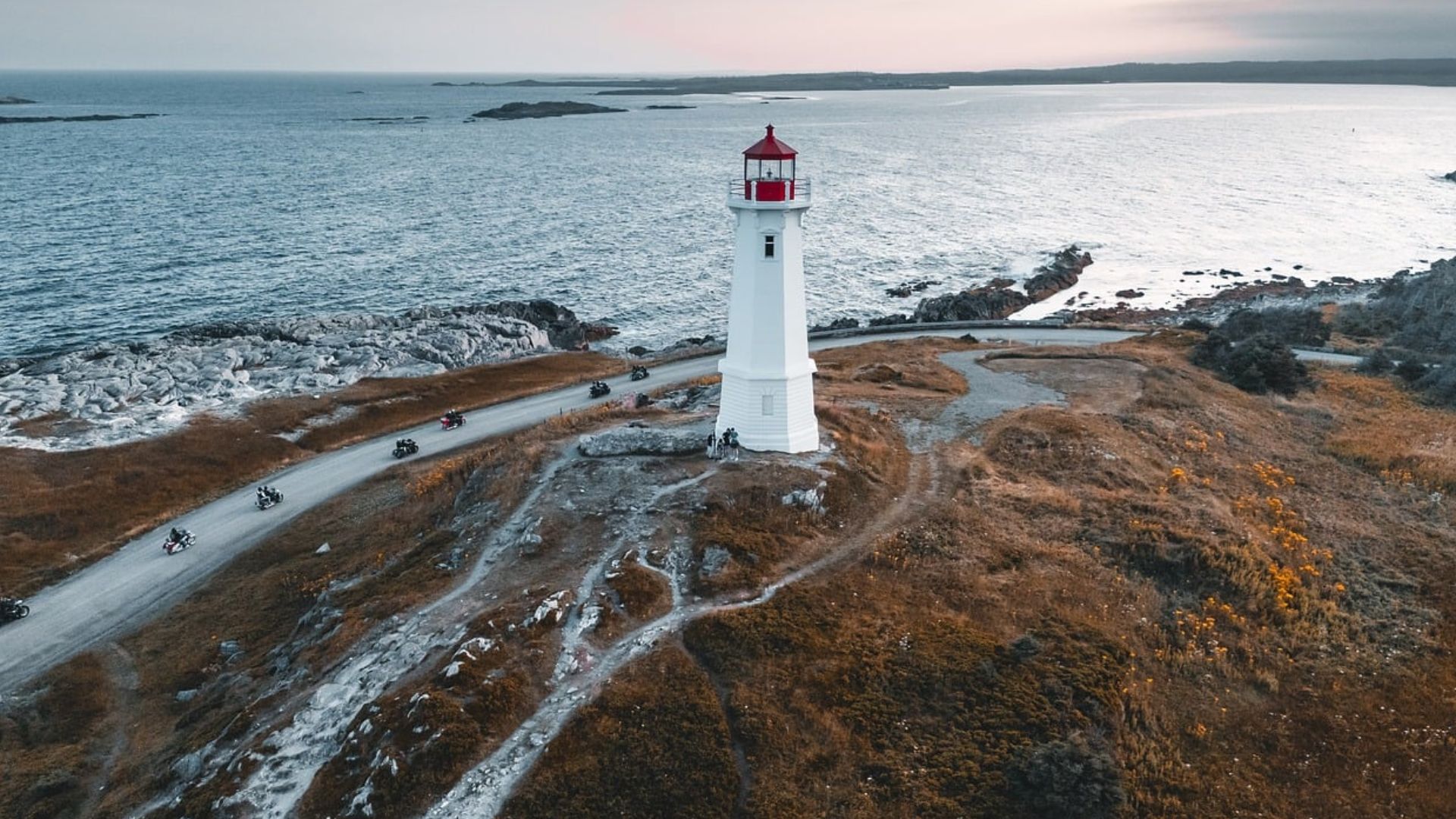
Nova Scotia’s coastline is dotted with lighthouses. The provincial tourism agency says it has more lighthouses than any other Canadian province, from famous Peggy’s Point to smaller beacons near fishing villages, beaches, and coastal roads.
 Dennis G. Jarvis, Wikimedia Commons
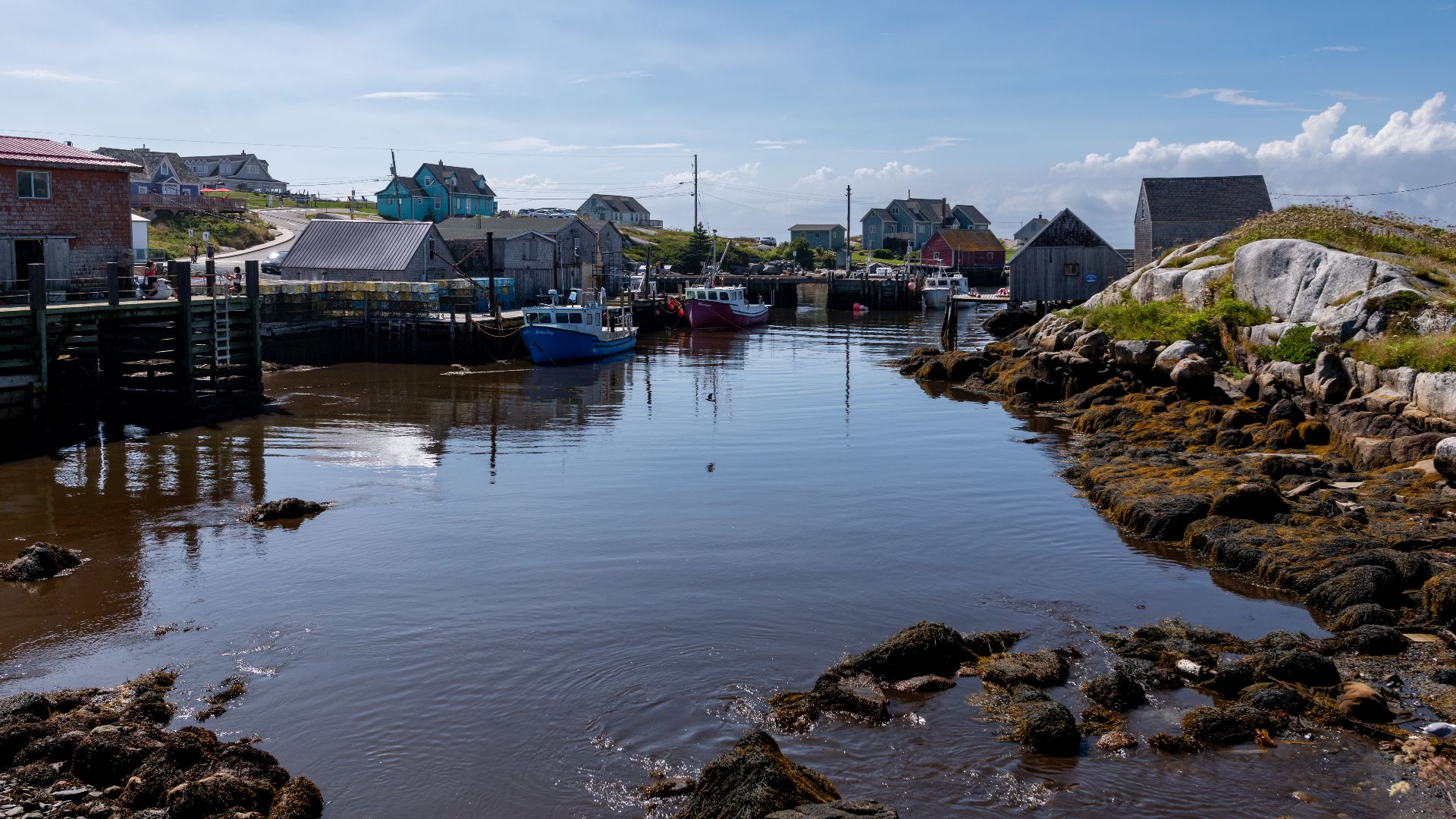
The Fishing Villages Are Often Still Working
Some postcard-looking places are not preserved stage sets. Peggy’s Cove remains an active fishing community, and visitors are reminded that residents live and work there, reflecting how maritime industries still shape many coastal settlements.
 Dionysos1970, Wikimedia Commons
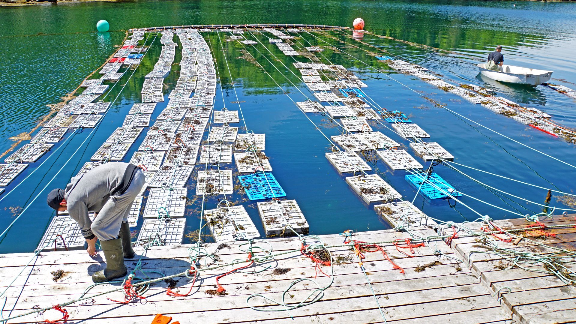
Lobster Is More Than A Vacation Meal
Lobster is woven into Nova Scotia’s coastal economy and food culture. Visitors encounter lobster pounds, waterfront restaurants, fishing tours, festivals, boils, and regional food trails, making the catch far more visible than an occasional upscale entrée.
 Dennis G. Jarvis, Wikimedia Commons
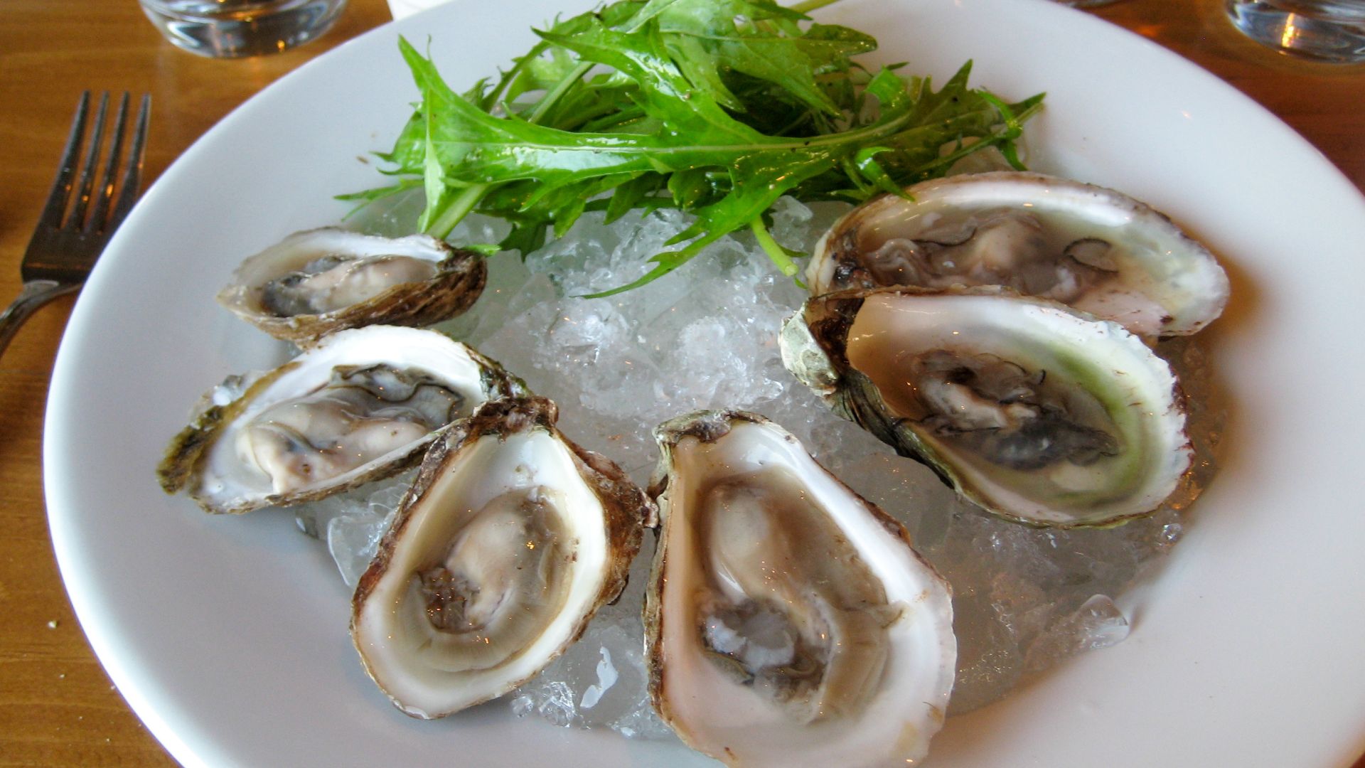
PEI Takes Shellfish Very Seriously
Prince Edward Island embraces its “Canada’s Food Island” identity, with shellfish playing a starring role. First-time visitors are encouraged to try local lobster, oysters, and mussels alongside PEI potatoes at restaurants and other food stops.
 Tim Sackton from Somerville, MA, Wikimedia Commons
Halifax Has An Official Food
The Halifax donair can surprise visitors expecting only seafood. The city’s version combines seasoned meat, pita, onion, tomato, and sweet sauce, and the messy local staple has been officially recognized as Halifax’s food since 2015.
 Nicole Bratt from Seattle, WA, USA, Wikimedia Commons
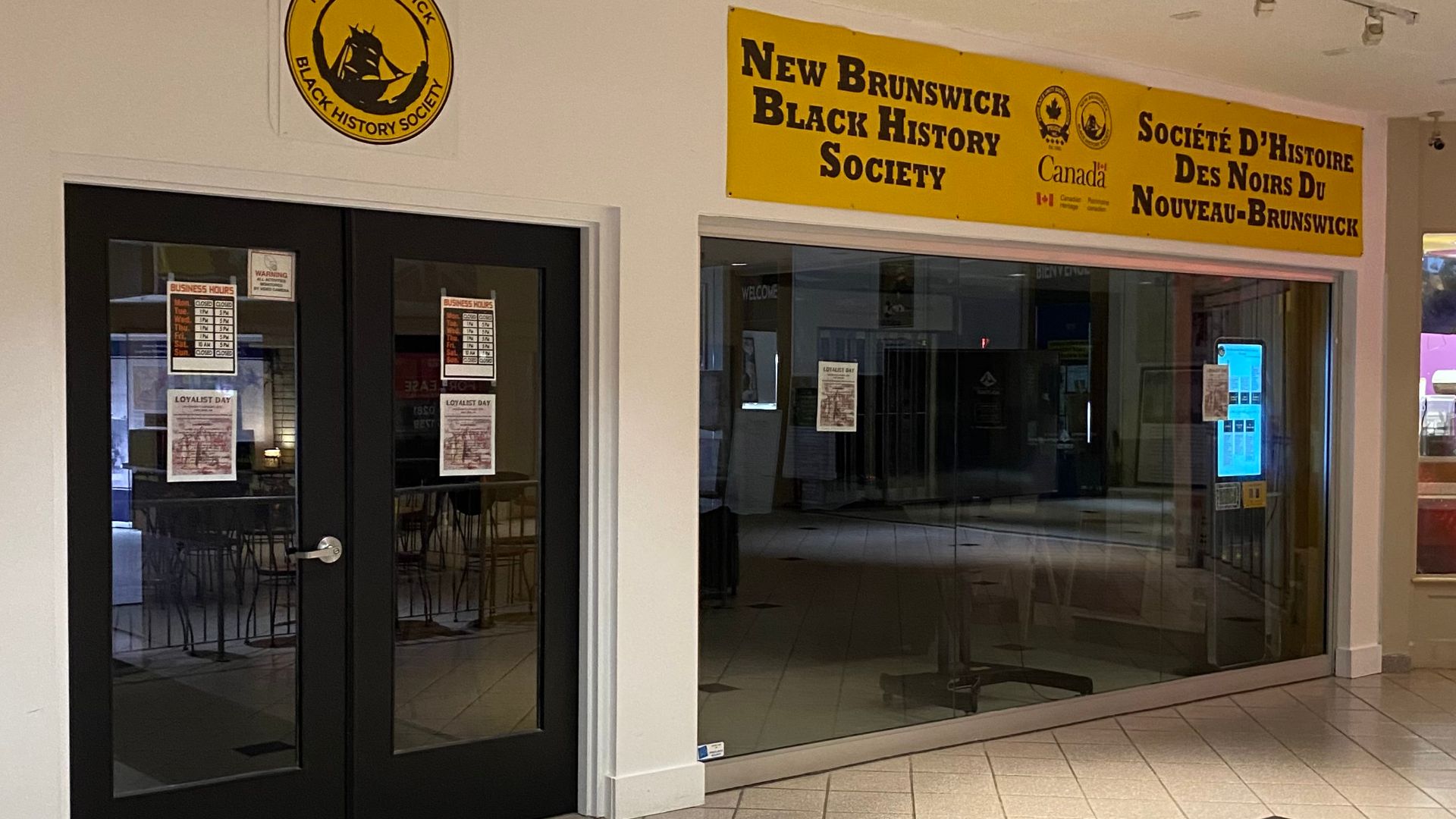
New Brunswick Is Genuinely Bilingual
French is not merely an occasional translation in New Brunswick. It is Canada’s only officially bilingual province, with English and French holding constitutional status, so travelers may encounter both languages in services, signs, place names, and communities.
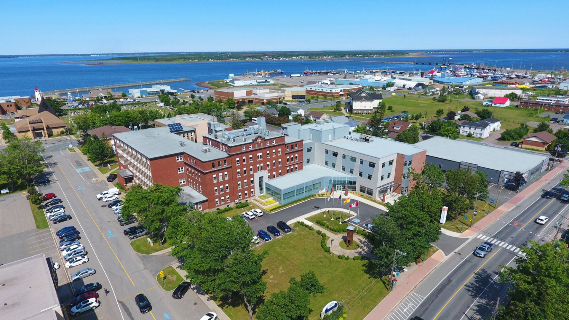
Acadian Culture Is Very Much Present
In parts of New Brunswick, especially the Acadian Peninsula, Acadian identity is highly visible. Communities such as Caraquet, Shippagan, and Tracadie combine French language, seafood traditions, festivals, music, and contemporary culture.
 UMoncton Shippagan, Wikimedia Commons
Gaelic Culture Is Still Alive In Nova Scotia
Scottish influence in Nova Scotia extends beyond place names. The province still supports a living Gaelic language community, with traditions maintained through music, dance, storytelling, classes, and cultural events, particularly in eastern Nova Scotia and Cape Breton.

The Cabot Trail Is A Real Road Trip
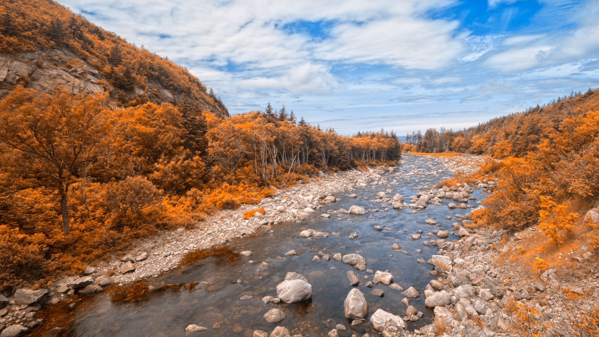
Photos can make the Cabot Trail look like one continuous overlook, but the route is substantial. Parks Canada says the loop around northern Cape Breton runs nearly 300 kilometres through highlands and coastal communities.
 Nicolas Raymond, CC-BY-2.0, Wikimedia Commons
Whales Can Be Seen From Land
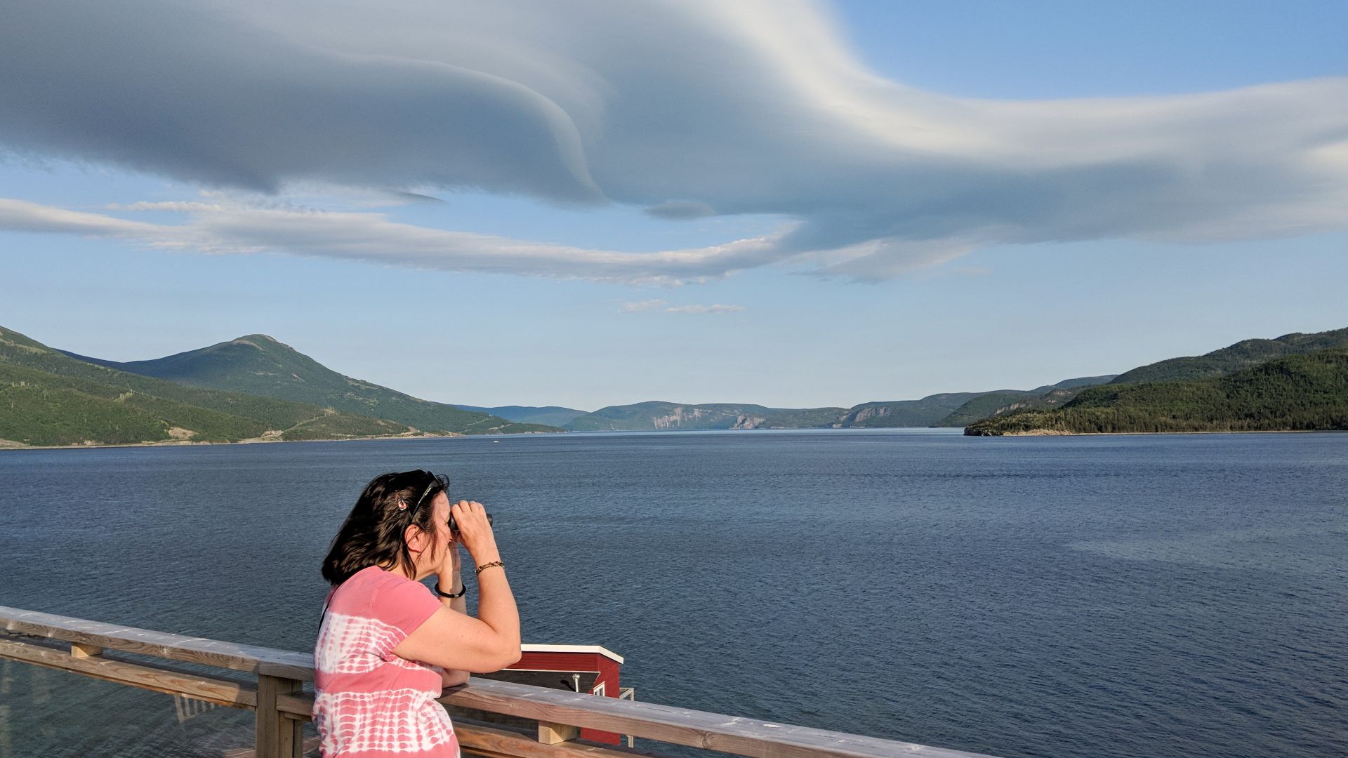
Newfoundland and Labrador whale watching is not limited to boats. During migration season, humpbacks and other whales can sometimes be spotted from coastal trails, cliffs, and beaches at places including Signal Hill, Cape Spear, and Trinity.
 Patrick Mueller from apex, usa, Wikimedia Commons
Icebergs Can Drift Past The Coast
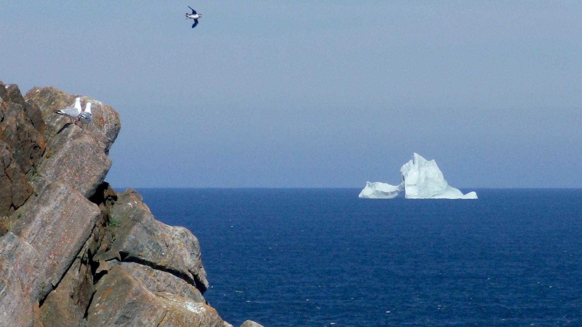
Spring and early summer can bring one of Atlantic Canada’s most surreal sights: icebergs offshore. Iceberg Alley follows Labrador and Newfoundland’s eastern coast, where drifting bergs can sometimes be viewed from land, kayaks, or boats.
You May Also Like:
Europeans Reveal The American Things They Used To Make Fun Of—Until They Tried Them