
Some Towns Don't Simply Fade Away
Most American ghost towns have a fairly ordinary explanation: the mine closed, the railroad moved, or people found better opportunities elsewhere. These 12 places are different.
One was deliberately flooded. Another was poisoned by chemicals. Others were destroyed by mining, disaster, or disturbing stories of unexplained deaths. In some cases, the eerie ruins are still there.
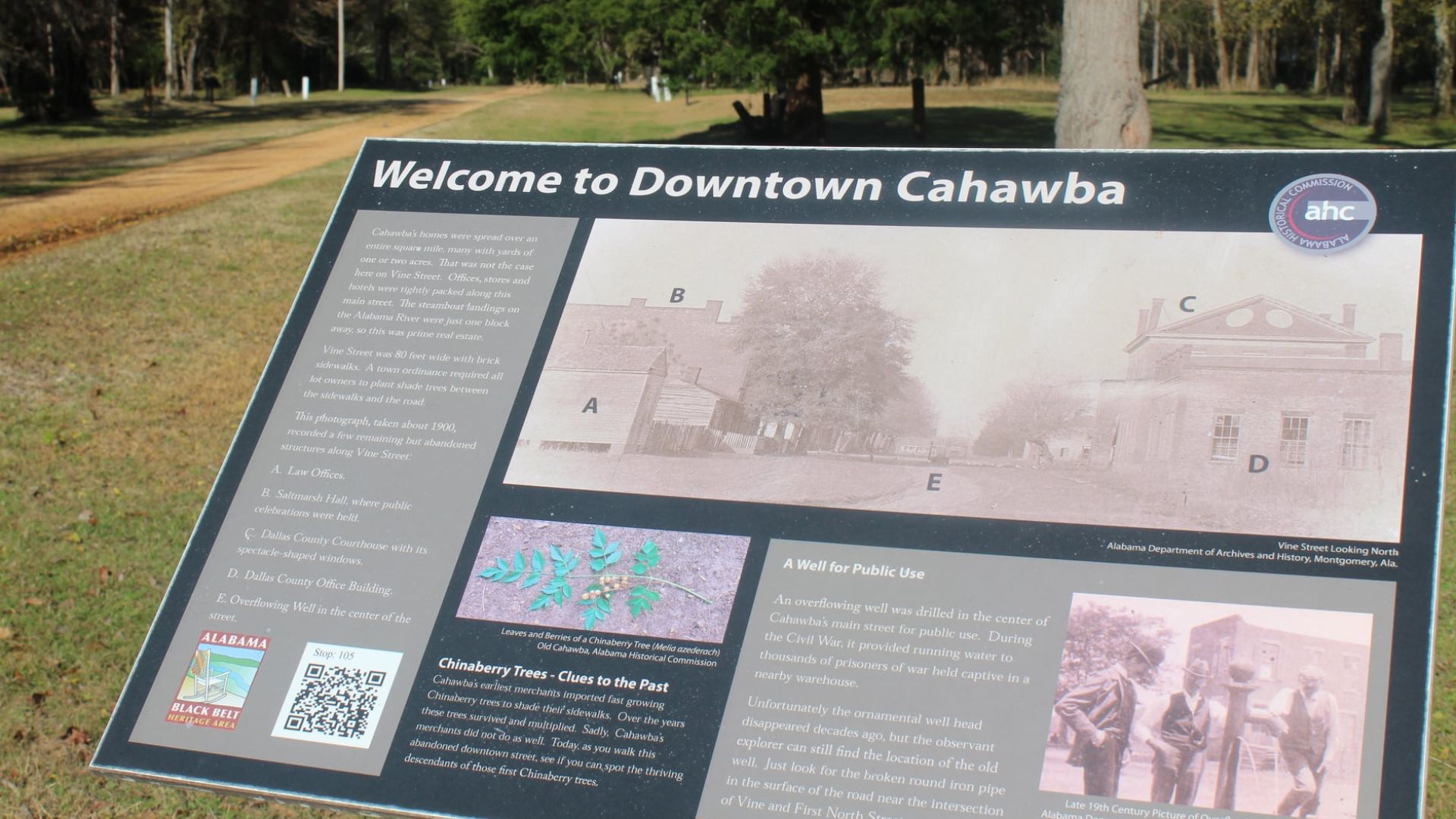
#12. Cahawba, Alabama
Location: Dallas County, Alabama
Abandoned: Largely deserted by the late 19th century; effectively a ghost town by 1900
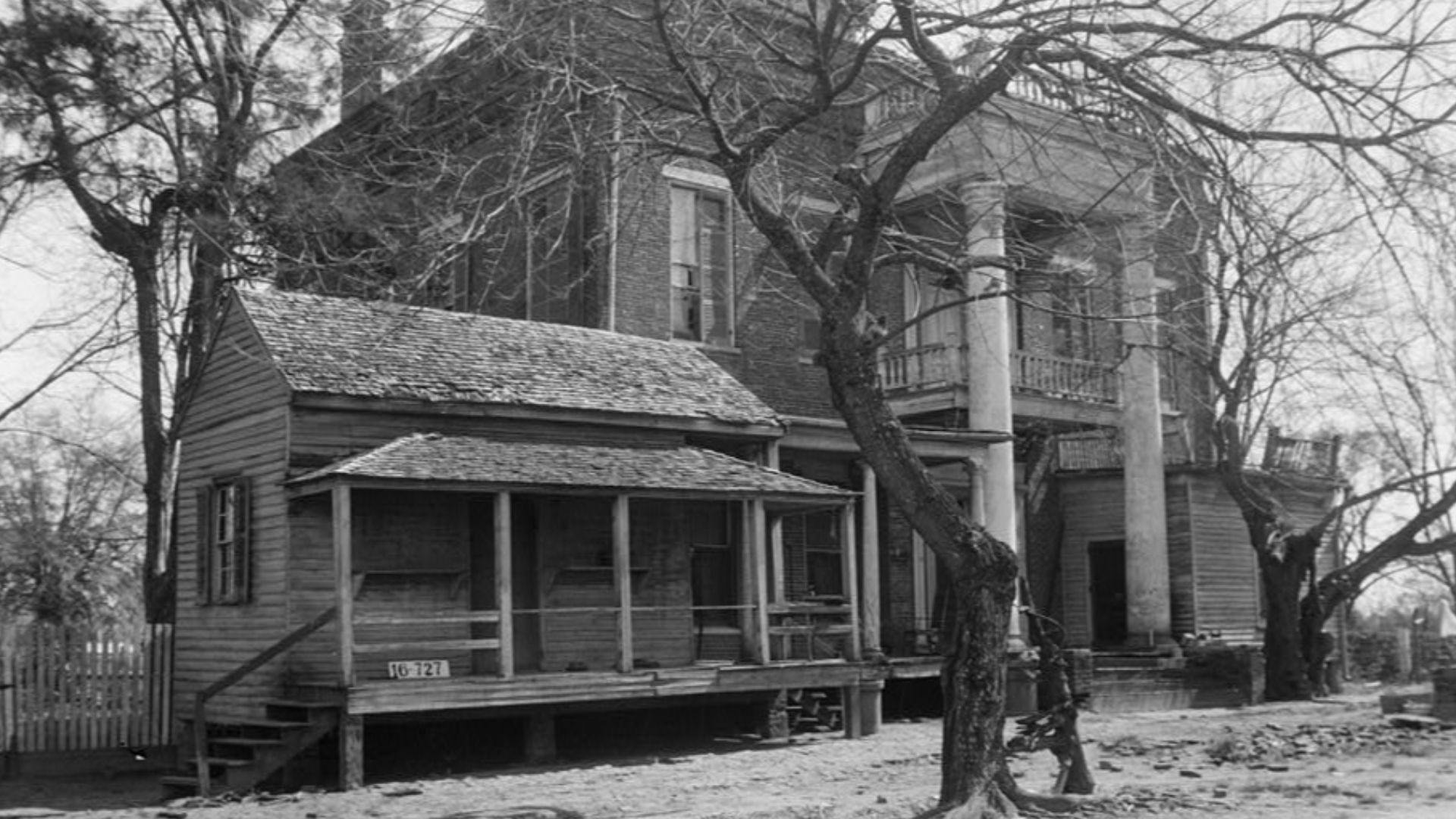
Cahawba wasn't some forgotten backwater. Located where the Cahaba and Alabama rivers meet, it became Alabama's first permanent state capital in 1820. But its low-lying position created persistent concerns about flooding and disease, and the state government moved to Tuscaloosa in 1826.
Cahawba refused to die immediately. Thanks to cotton and river transportation, it boomed again before the Civil conflict and had more than 3,000 residents. Then almost everything began going wrong.
 W. N. Manning, Wikimedia Commons
Then Came War, Flooding And Abandonment
During the Civil conflict, Confederate authorities removed Cahawba's railroad iron, and the town became home to Castle Morgan, a prison holding thousands of captured Union soldiers. Then a major flood inundated Cahawba in 1865.
The county seat moved to Selma in 1866, taking businesses and families with it. Houses were dismantled and physically moved elsewhere. By 1900, most remaining structures had burned, collapsed or been removed. Today, Old Cahawba Archaeological Park preserves what remains of a town that managed to lose its political importance, transportation network and population within a few brutal decades.
#11. Bodie, California
Location: Mono County, California
Abandoned: Final residents departed shortly after mining ended in 1942
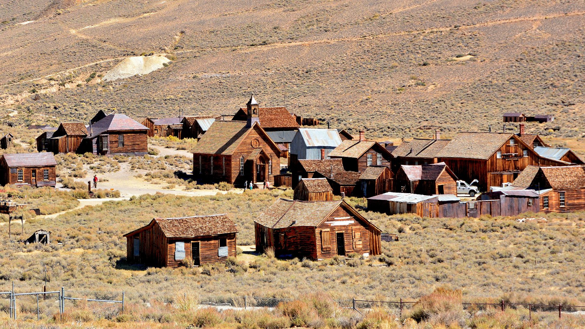
Bodie exploded into existence after a rich vein of gold was uncovered in 1875. At its peak around 1880, roughly 8,000 people lived among approximately 2,000 buildings in this isolated California mining town.
But Bodie developed a fearsome reputation along with its wealth. Saloons, gambling and violence became part of its frontier mythology. More importantly, the ore couldn't keep producing forever. By 1881, Bodie's first major bust had begun.
Then The Town Started Burning
Declining mines were bad enough. Fire made everything worse.
A major blaze destroyed part of Main Street in 1892, while another devastating fire tore through downtown in 1932. Mining continued on a reduced scale until the War Production Board suspended operations in 1942. The remaining residents left soon afterward.
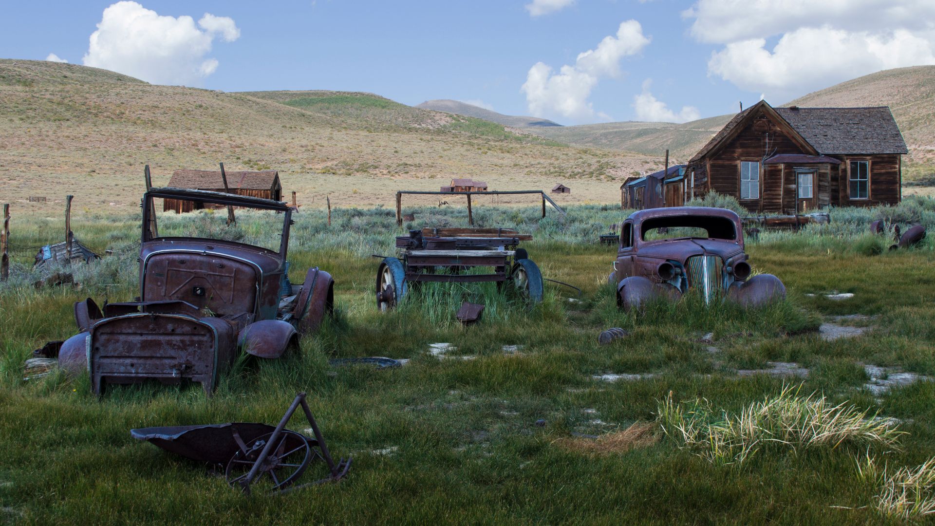
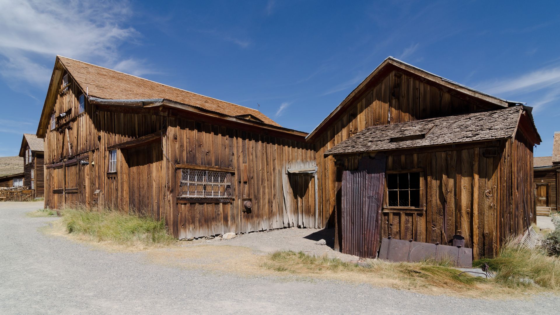
Only a fraction of Bodie's original buildings survive. California preserves them in a state of "arrested decay," complete with interiors that appear almost as though residents simply walked out and never came back.
 Elizabeth Hummel, Wikimedia Commons
#10. Frisco, Utah
Location: Beaver County, Utah
Abandoned: Considered a ghost town by 1895
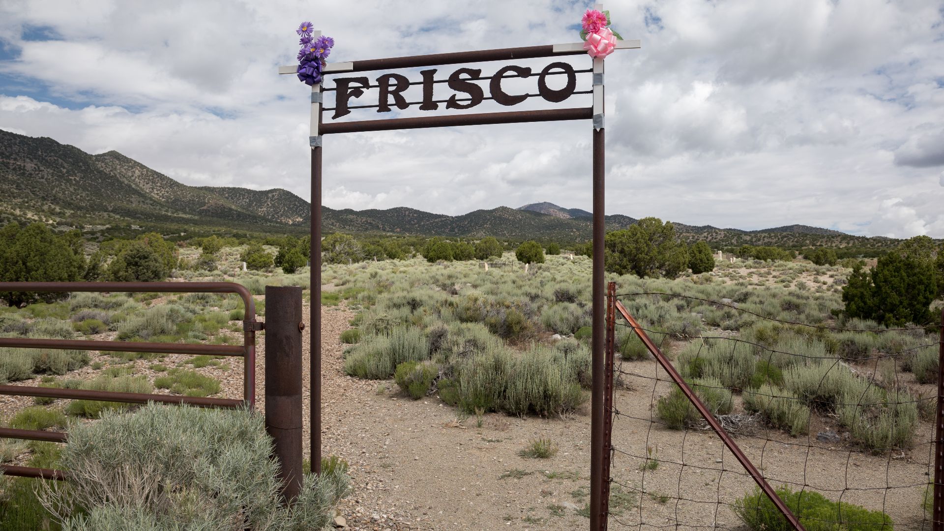
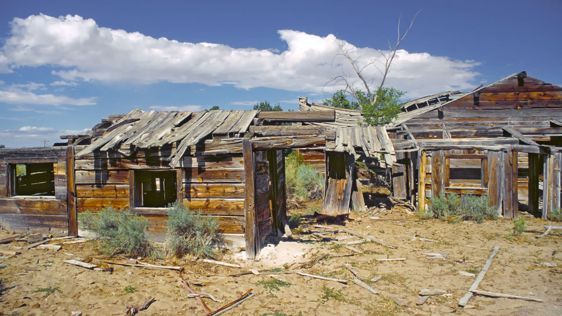
Frisco sprang up after the discovery of the Horn Silver Mine in 1875. The mining district became phenomenally productive, and by the early 1880s, Frisco's population had reportedly reached around 6,500 people.
Then, in 1884, the Horn Silver Mine suffered the event every mining community feared: a major cave-in. The collapse didn't instantly erase Frisco, but it badly damaged the economic engine keeping thousands of people in the remote Utah desert.
 Clyde Charles Brown, Wikimedia Commons
One Collapse Changed Everything
The mine's upper workings collapsed after years of intensive excavation. Remarkably, the disaster appears not to have produced the enormous death toll one might expect from such a catastrophic structural failure—but economically, the damage was devastating.
Mining activity declined sharply afterward. Residents followed the money elsewhere, and the boomtown emptied with startling speed. Utah's state archives record that by 1895, Frisco had become a ghost town.
The abandoned kilns and weather-beaten ruins now sit in the desert as reminders that a town of thousands can disappear surprisingly quickly when the ground beneath its economy literally gives way.
 Michael Gäbler, Wikimedia Commons
#9. Bannack, Montana
Location: Beaverhead County, Montana
Abandoned: Gradual decline; essentially abandoned by the mid-20th century
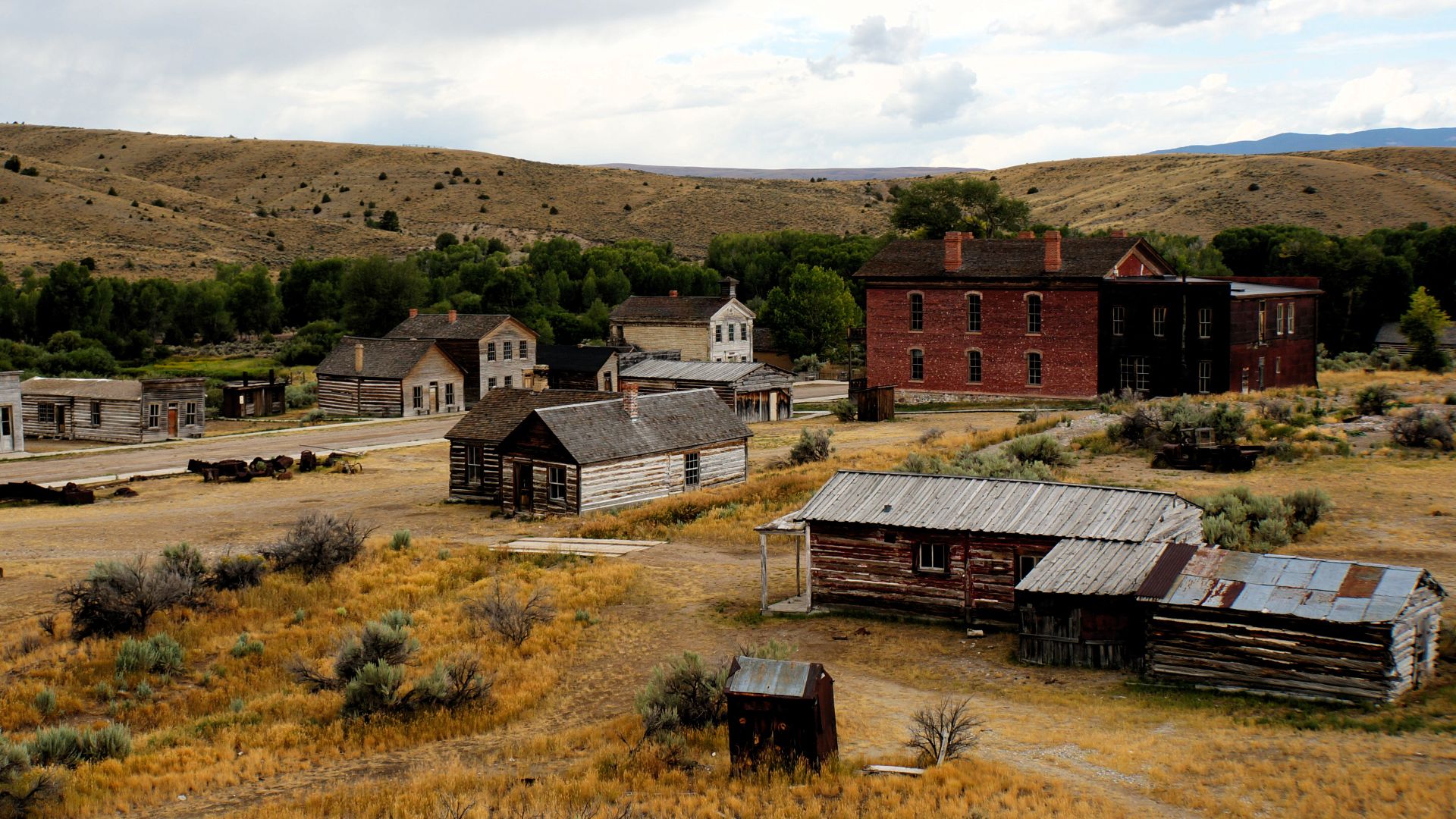
Gold was discovered along Grasshopper Creek in 1862, and Bannack erupted into a boomtown. By spring 1863, its population reportedly approached 5,000.
But enormous quantities of gold attracted people interested in stealing it too. Robberies, killings and attacks plagued roads around the mining camps. Sheriff Henry Plummer was accused of secretly leading a gang of road agents—even though historians have continued debating exactly how much of the accusation was true.
The Sheriff Ended Up On The Gallows
In December 1863, residents formed a vigilance committee. What followed was frontier justice at its darkest.
Over the following weeks, vigilantes executed numerous suspected criminals without conventional trials. Plummer himself was hanged at Bannack on January 10, 1864, along with two deputies. More suspected road agents met the same fate.
Violence wasn't ultimately what emptied Bannack. Richer goldfields drew miners away, the territorial capital moved, and the railroad bypassed the community. By the 1960s, it was thoroughly abandoned. But its violent early history ensured this would never feel like an ordinary deserted mining town.
#8. Gilman, Colorado
Location: Eagle County, Colorado
Abandoned: 1984–1985
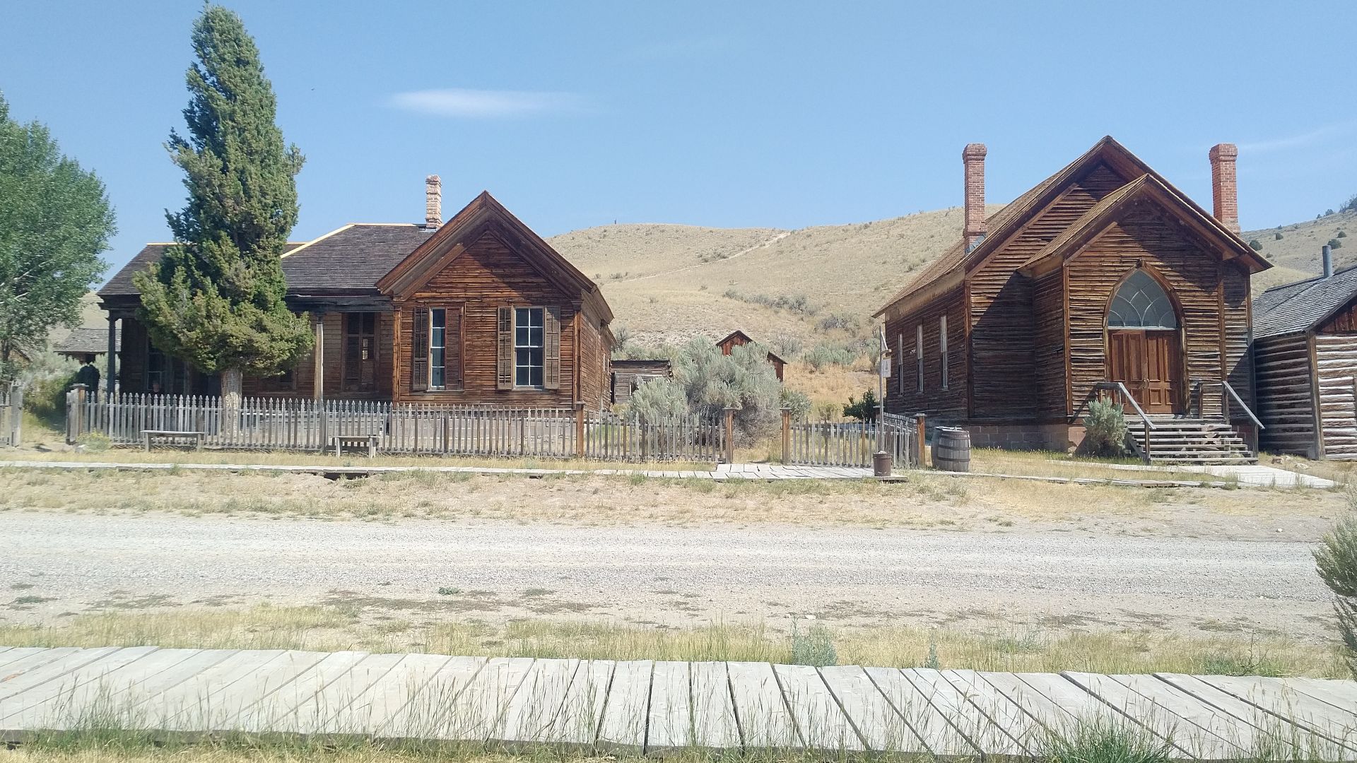
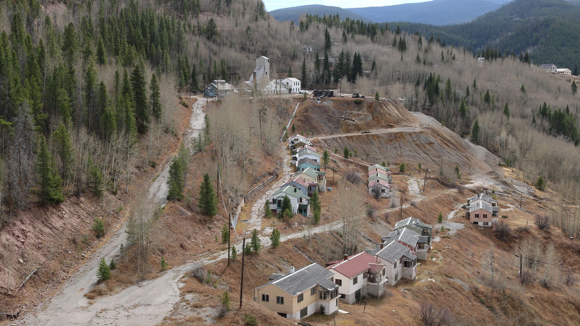
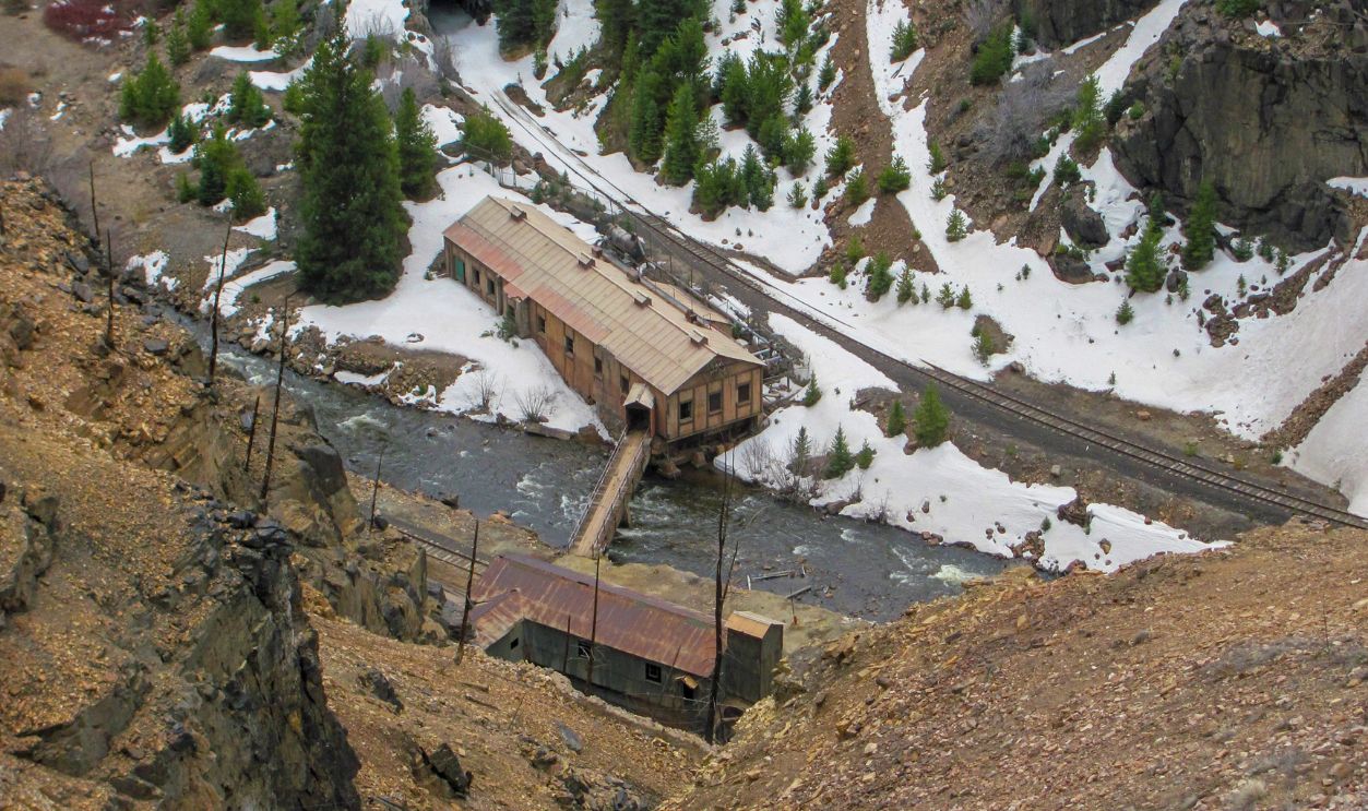
Perched dramatically above the Eagle River, Gilman existed because of mining. Generations of extraction produced valuable zinc, lead and other metals—and an environmental nightmare.
When mining operations shut down in 1984, the town's economic reason for existing disappeared. But residents weren't merely dealing with unemployment. Decades of mining had left dangerous contamination behind.
 Jeffrey Beall, Wikimedia Commons
The Remaining Families Were Ordered Out
The Eagle Mine complex contained approximately 70 miles of underground tunnels, along with enormous quantities of mining waste. Arsenic, cadmium, copper, lead and zinc contaminated soil, sediment, groundwater and surface water.
In March 1985, an environmental health officer ordered the 14 families still living in Gilman to leave because of potential health hazards. By July, everyone was gone.
A gate appeared outside the empty community bearing an almost surreal message: "Town for Sale." Gilman had gone from company town to contaminated ghost town in roughly a year.
#7. St. Thomas, Nevada
Location: Lake Mead National Recreation Area, Nevada
Abandoned: 1938
St. Thomas wasn't destroyed by accident. Authorities knew exactly what was going to happen to it.
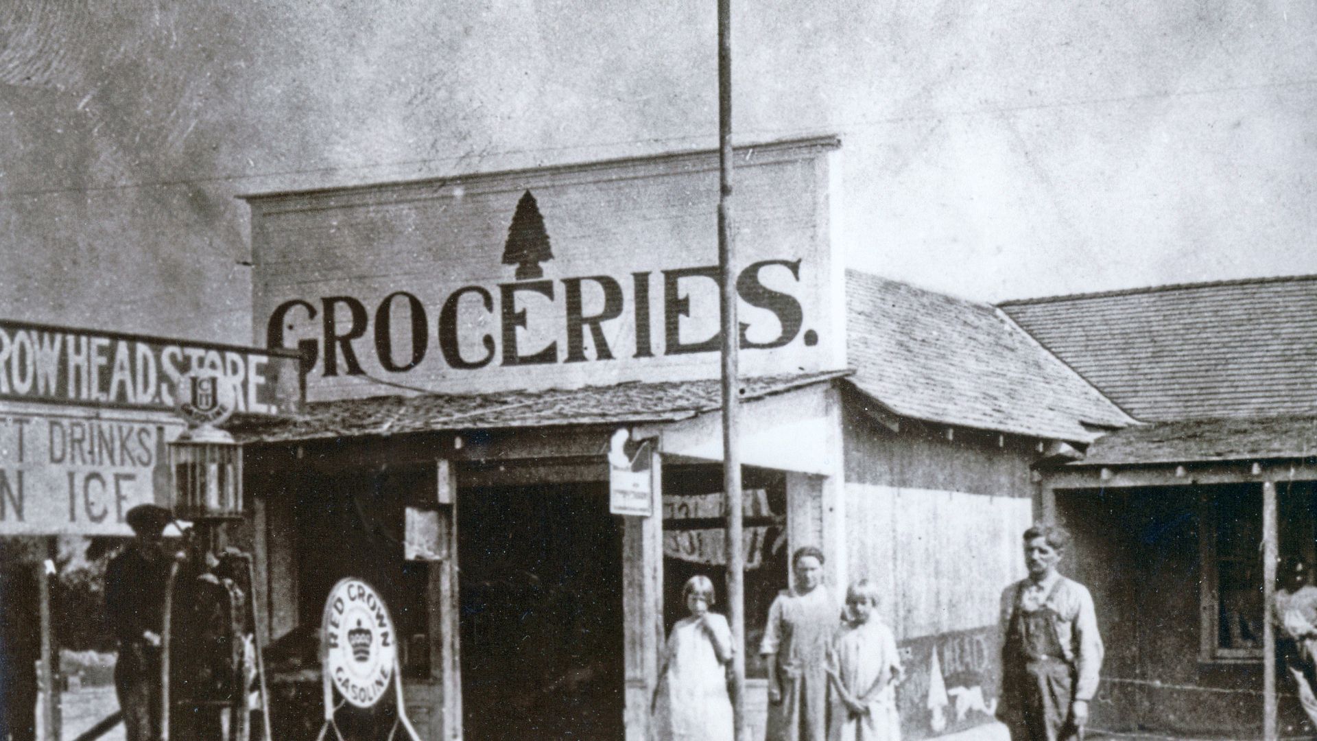
Founded by Mormon settlers in 1865, St. Thomas eventually developed into a community of roughly 500 people, complete with stores, a school, post office, church and even a soda fountain.
Then the federal government decided to build Hoover Dam. The resulting reservoir—Lake Mead—would rise directly over the town.
 Lake Mead NRA Public Affairs, Wikimedia Commons
The Last Resident Left By Boat
Residents were told to relocate, and the government purchased their properties. Lake Mead began filling in 1935, slowly creeping toward the community.
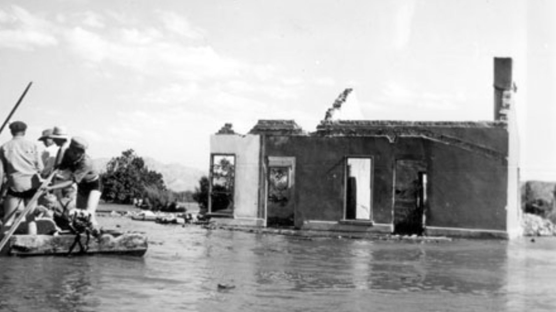
On June 11, 1938, Hugh Lord became one of the last residents to leave. With water reaching his property, he reportedly departed by boat. Eventually, St. Thomas sat roughly 60 feet beneath the lake's high-water mark.
Decades later, falling Lake Mead levels exposed the ruins again. Visitors can now walk along streets that spent years beneath the reservoir.
 Lake Mead NRA Public Affairs, Wikimedia Commons
#6. Treece, Kansas
Location: Cherokee County, Kansas
Abandoned: Government relocation completed in 2011
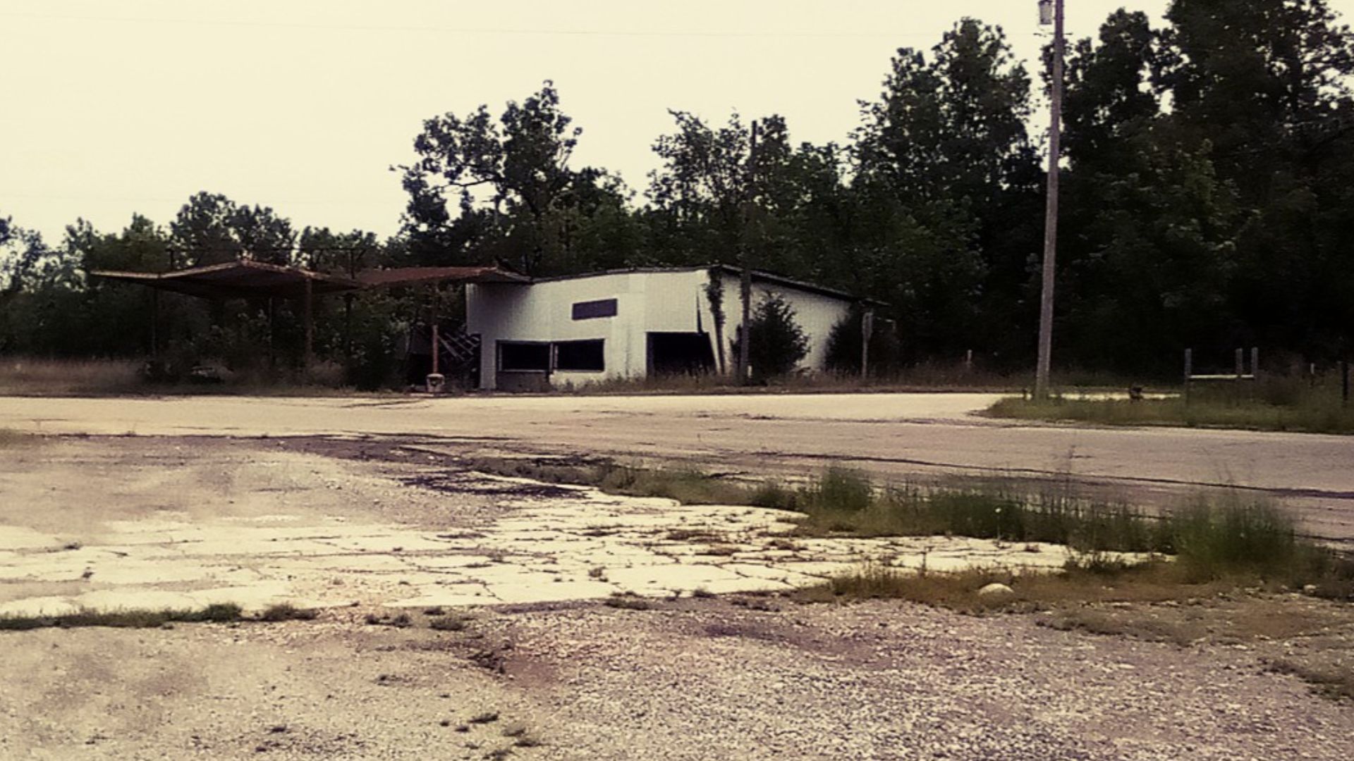
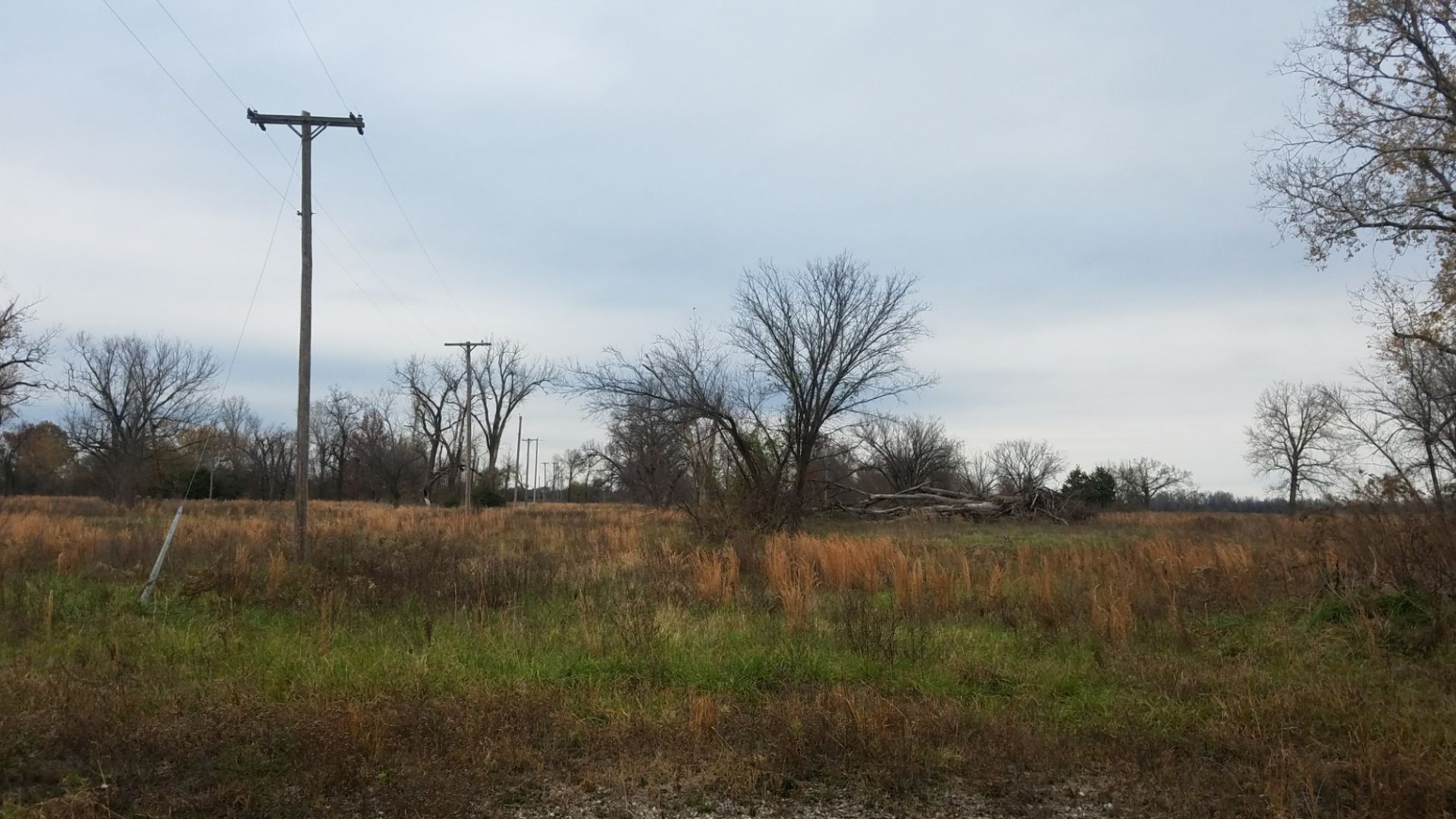
Treece existed because of mining—and was ultimately destroyed by what mining left behind.
The town sat within the enormous Tar Creek mining district, where decades of lead and zinc extraction created mountains of contaminated mine waste known as chat. Lead contamination affected soil and posed serious health concerns across communities on both sides of the Kansas-Oklahoma border.
Eventually, officials decided that cleaning up Treece while people continued living there wasn't enough.
 Robert Jones, Wikimedia Commons
The Government Bought Almost Everyone Out
Treece became part of a federal relocation effort connected to the Tar Creek Superfund site. The decision to relocate residents was formally documented in 2010, and the buyout was completed in 2011.
Families accepted buyouts and moved away while houses were demolished. What had once been a functioning Kansas community was effectively erased because the legacy of mining had made continued settlement untenable.
It's difficult to imagine a more disturbing ending for a town: the industry that created it also contaminated the land badly enough that leaving became the solution.
 Dylan Edwards, Wikimedia Commons
#5. Picher, Oklahoma
Location: Ottawa County, Oklahoma
Abandoned: Mostly abandoned following the 2008–2009 buyout period
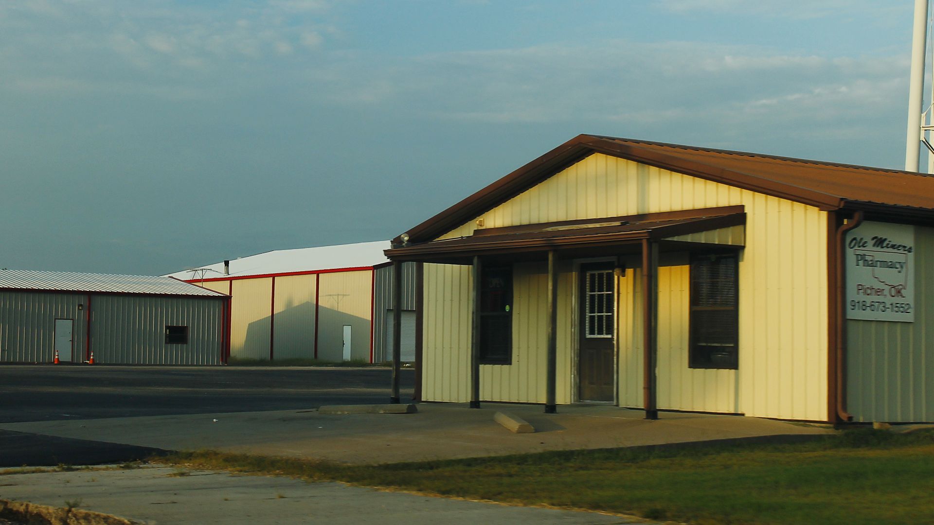
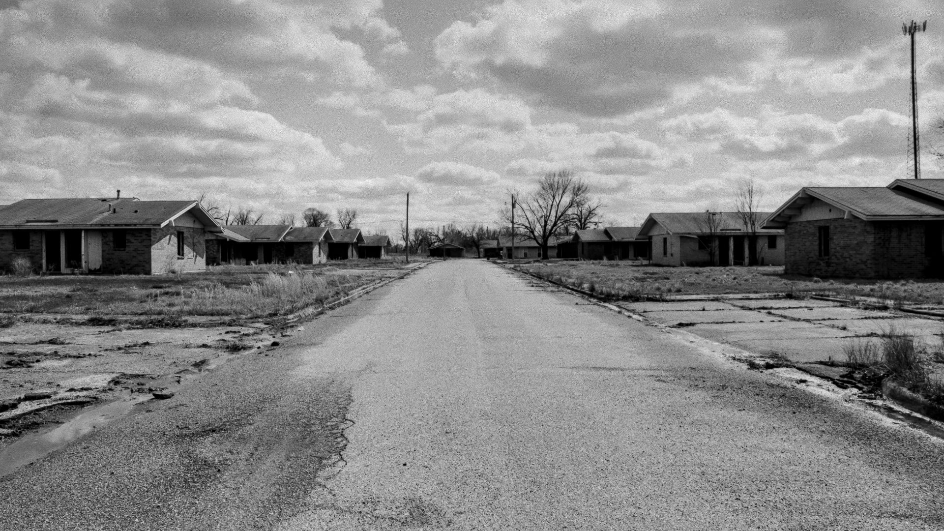
Picher was another mining town inside the Tar Creek Superfund site—and its story somehow became even worse.
Decades of lead and zinc mining left gigantic piles of toxic mine tailings surrounding homes. Lead exposure became a major public-health concern, while abandoned underground mine workings created the additional danger of unstable ground.
Authorities were already working toward relocating residents when nature delivered another blow.
 formulanone, Wikimedia Commons
Then A Tornado Hit The Dying Town
On May 10, 2008, a powerful tornado tore through Picher, badly damaging a community that was already being dismantled.
Eleven days later, the EPA announced $8 million in federal funding to accelerate the buyout and relocation of residents. The money helped purchase properties and demolish or relocate homes, businesses and public buildings.
Pollution had made Picher dangerous. Unstable ground made its future questionable. Then a tornado ripped through what remained. Few American ghost towns have endured such a brutal sequence of events.
 TheDoctorWho, Wikimedia Commons
#4. Times Beach, Missouri
Location: Approximately 20 miles southwest of St. Louis, Missouri
Abandoned: Evacuated in 1982; permanent relocation announced in 1983
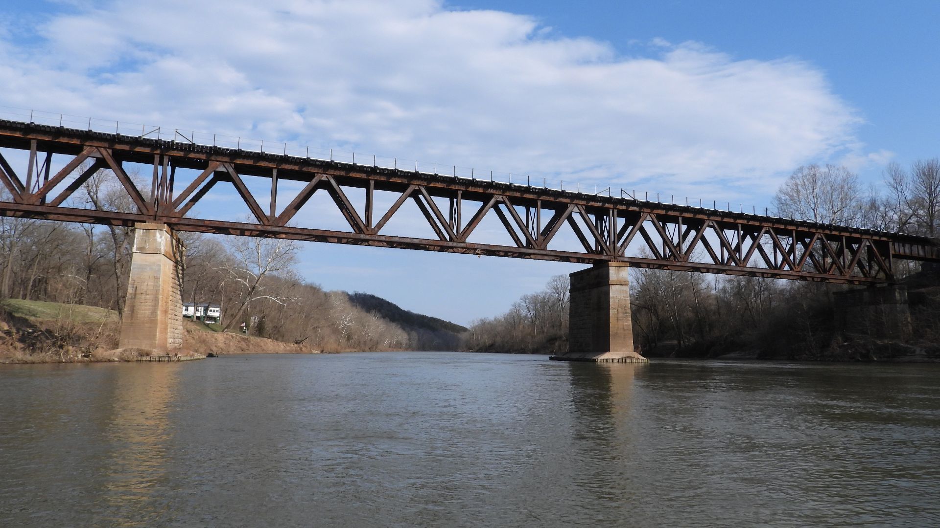
Times Beach's nightmare began with something incredibly mundane: dusty roads.
During the early 1970s, waste oil was sprayed onto the town's roads to keep dust down. Nobody realized that some of that oil was contaminated with dioxin, an extremely toxic chemical compound.
Then, in December 1982, the Meramec River flooded the town.
 EagleScout2017, Wikimedia Commons
Residents Were Told Not To Go Home
The flood potentially spread contaminated material throughout Times Beach. Residents evacuated, and federal health officials recommended that the community not be reinhabited.
Testing found alarming contamination, and in February 1983, the federal government announced a permanent relocation program for the town's more than 2,000 residents.
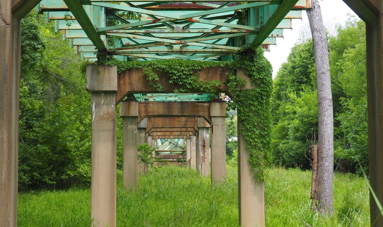
All residents had relocated by the end of 1986. Buildings were eventually demolished, contaminated material was incinerated, and the cleanup finished in 1997. The former town is now part of Route 66 State Park.
 Bowled Over Photography, Shutterstock
#3. Centralia, Pennsylvania
Location: Columbia County, Pennsylvania
Abandoned: Major relocation began in 1984; nearly the entire community eventually left
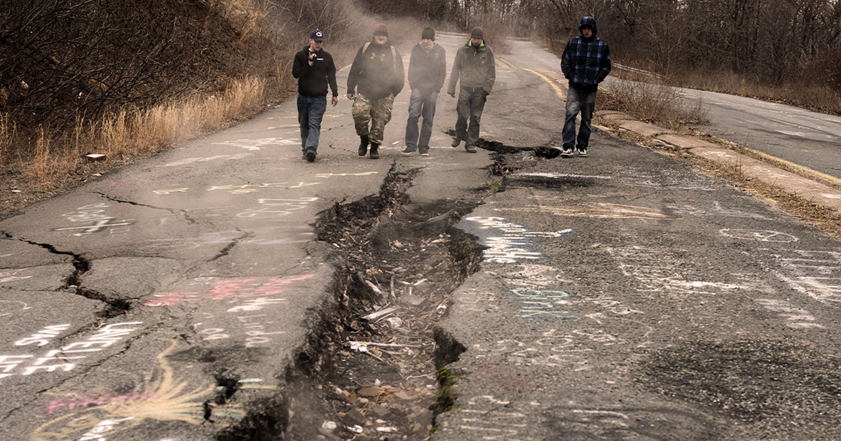
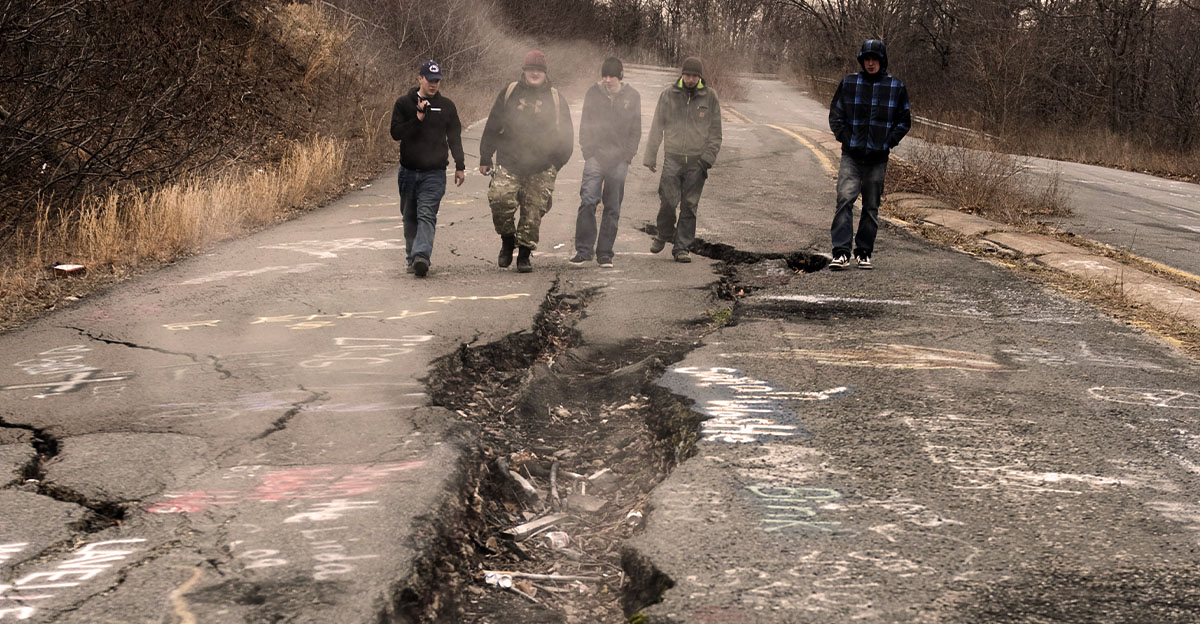
Centralia is the ghost town with a disaster that still hasn't simply gone away.
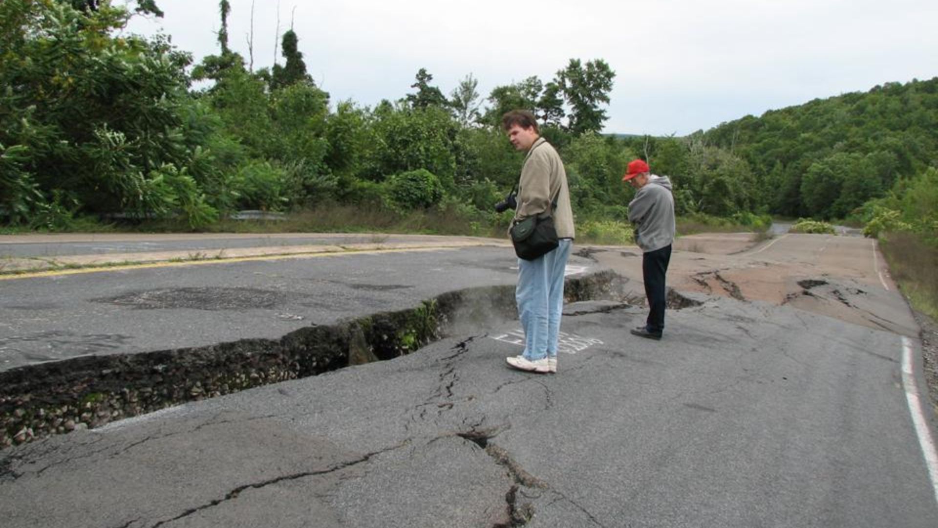
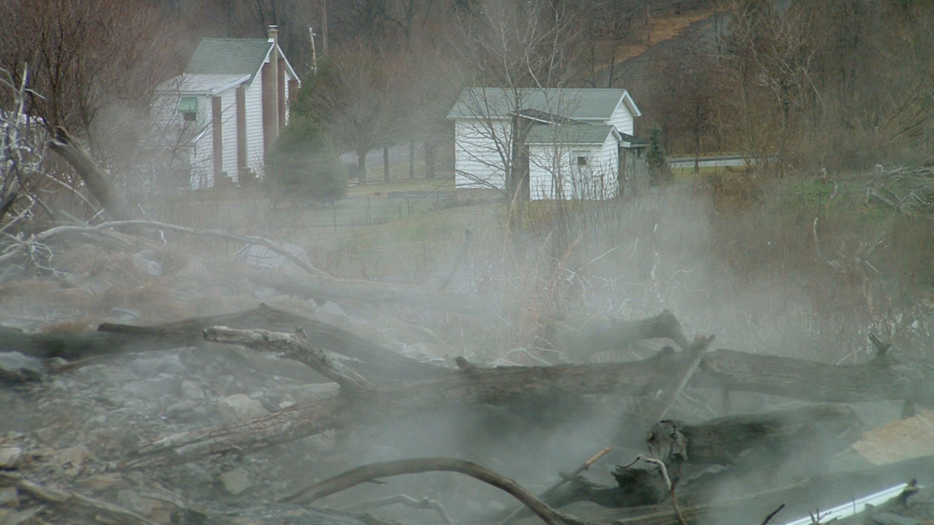
In May 1962, a fire started in the coal workings beneath the borough. Attempts to control or extinguish it repeatedly failed. Over time, residents faced dangerous gases and the possibility of the earth itself collapsing as underground coal continued burning.
By the early 1980s, Centralia's strange underground disaster had become impossible to treat as a minor local problem.
 James St. John, Wikimedia Commons
The Ground Beneath The Town Was Burning
In 1983, authorities estimated that completely extinguishing the fire could cost $663 million. Route 61 suffered serious subsidence damage, demonstrating just how unstable the underground workings had become.
In 1984, Congress appropriated $42 million for voluntary property acquisition and relocation because of dangers from noxious gases and subsidence.
Most residents eventually left and buildings were demolished. Centralia became the rare ghost town where the disaster wasn't merely something that happened decades ago—the fire beneath the region continued shaping what could safely exist above it.
 Scott Drzyzga, Wikimedia Commons
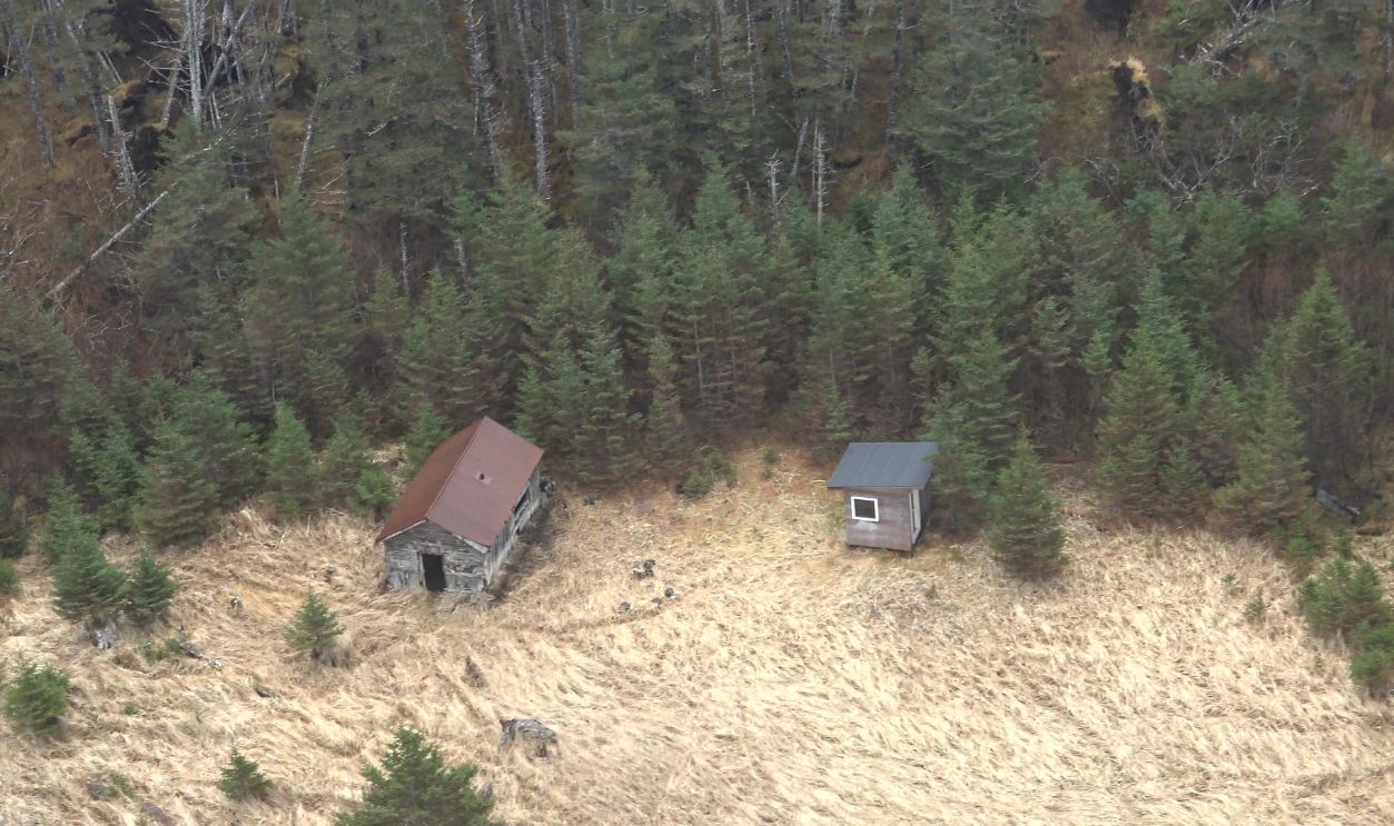
#2. Portlock, Alaska
Location: Port Chatham, Kenai Peninsula, Alaska
Abandoned: Around 1950–1951
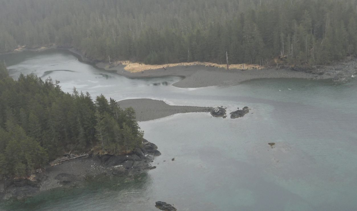
Portlock was an isolated cannery settlement surrounded by the dense wilderness of Alaska's Kenai Peninsula. A post office opened there in 1921, and for decades residents made their living largely from fishing and the local cannery.
By around 1950, however, Portlock emptied. Its post office closed around 1950–1951, marking the end of the settlement as a functioning community.
But Portlock's enduring reputation isn't simply about a cannery closing. It's about the stories told of what residents encountered in the surrounding wilderness.
Something Was Said To Be In The Forest
Accounts surrounding Portlock tell of hunters and residents disappearing, bodies reportedly discovered under disturbing circumstances, enormous humanlike footprints and sightings of a huge hairy creature in the wilderness.
The being became associated with Nantiinaq, a creature from Alaska Native tradition sometimes compared by outsiders to Bigfoot. One story describes hunters finding enormous footprints roughly 18 inches long; another tells of a fisherman encountering a massive hairy figure near the shore.
Families ultimately moved away, many settling in nearby communities. Whatever a visitor believes about the stories, the thought of an isolated settlement emptying beside miles of nearly impenetrable Alaskan forest gives Portlock an atmosphere few ghost towns can match.
#1. Dudleytown, Connecticut
Location: Cornwall, Litchfield County, Connecticut
Abandoned: Gradually declined during the 19th century; property consolidated into private forest land in the 1920s
Dudleytown wasn't really an incorporated town at all. It was a small settlement in Cornwall established beginning in the 1740s, with several members of the Dudley family arriving during the following decade.
Its location eventually became known as the Dark Entry Forest, a name almost too perfect for what came later. The settlement dwindled during the 1800s, leaving behind cellar holes, stonework and forest where farms and homes had once stood. The land has been privately managed since the 1920s and is closed to the public.
And that's where Dudleytown's history turns into something considerably darker.
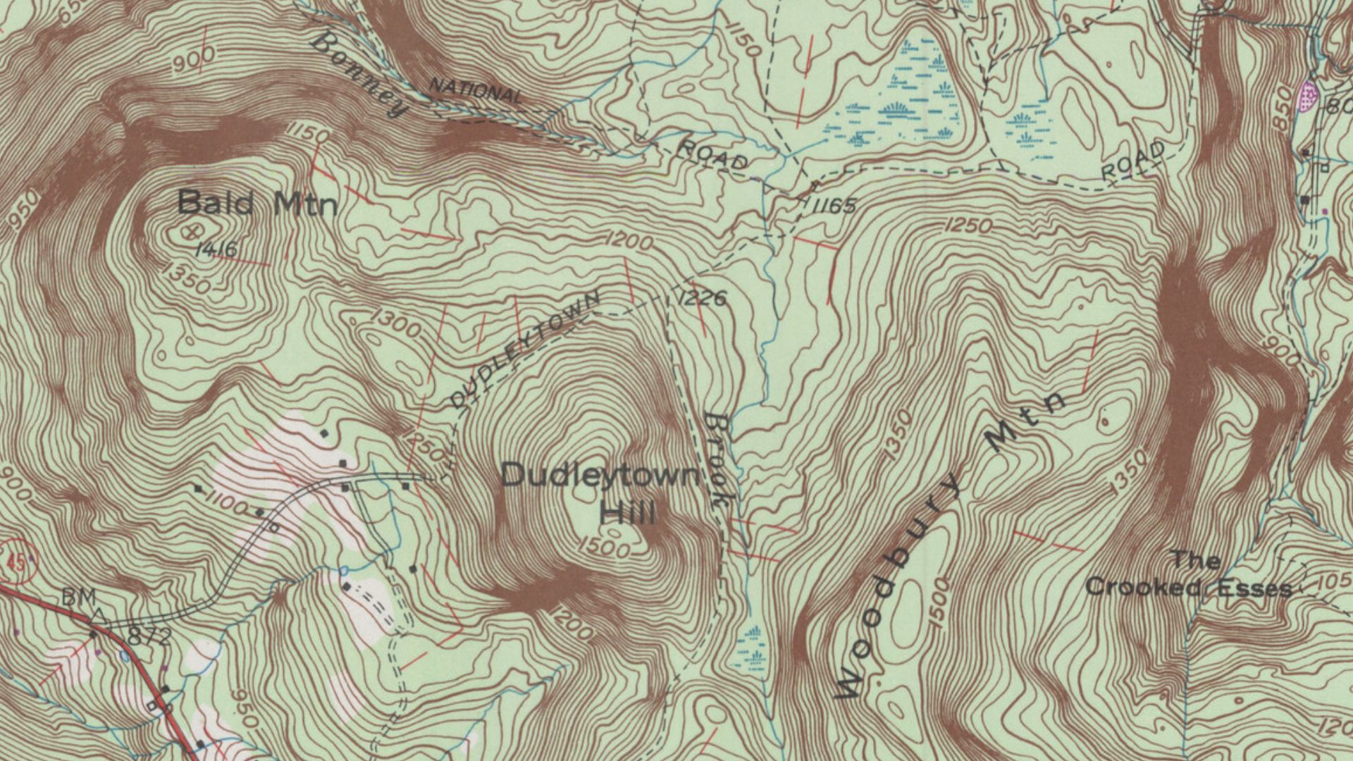 United States Geographical Survey, Wikimedia Commons
The Curse Of Dudleytown
Stories surrounding Dudleytown describe a community shadowed by misfortune—illness, madness, unexplained deaths, disappearances and families seemingly unable to escape tragedy. One of the most famous versions connects the settlement's troubles to a Dudley family curse supposedly carried from England to America.
Over time, the abandoned settlement gained a reputation as one of New England's most unsettling places. Visitors and paranormal enthusiasts have reported strange sounds, shadowy figures, feelings of dread and the unnerving sensation of being watched in the woods. Interest became so intense that trespassing and vandalism turned into genuine problems, and the privately owned land remains closed to visitors.
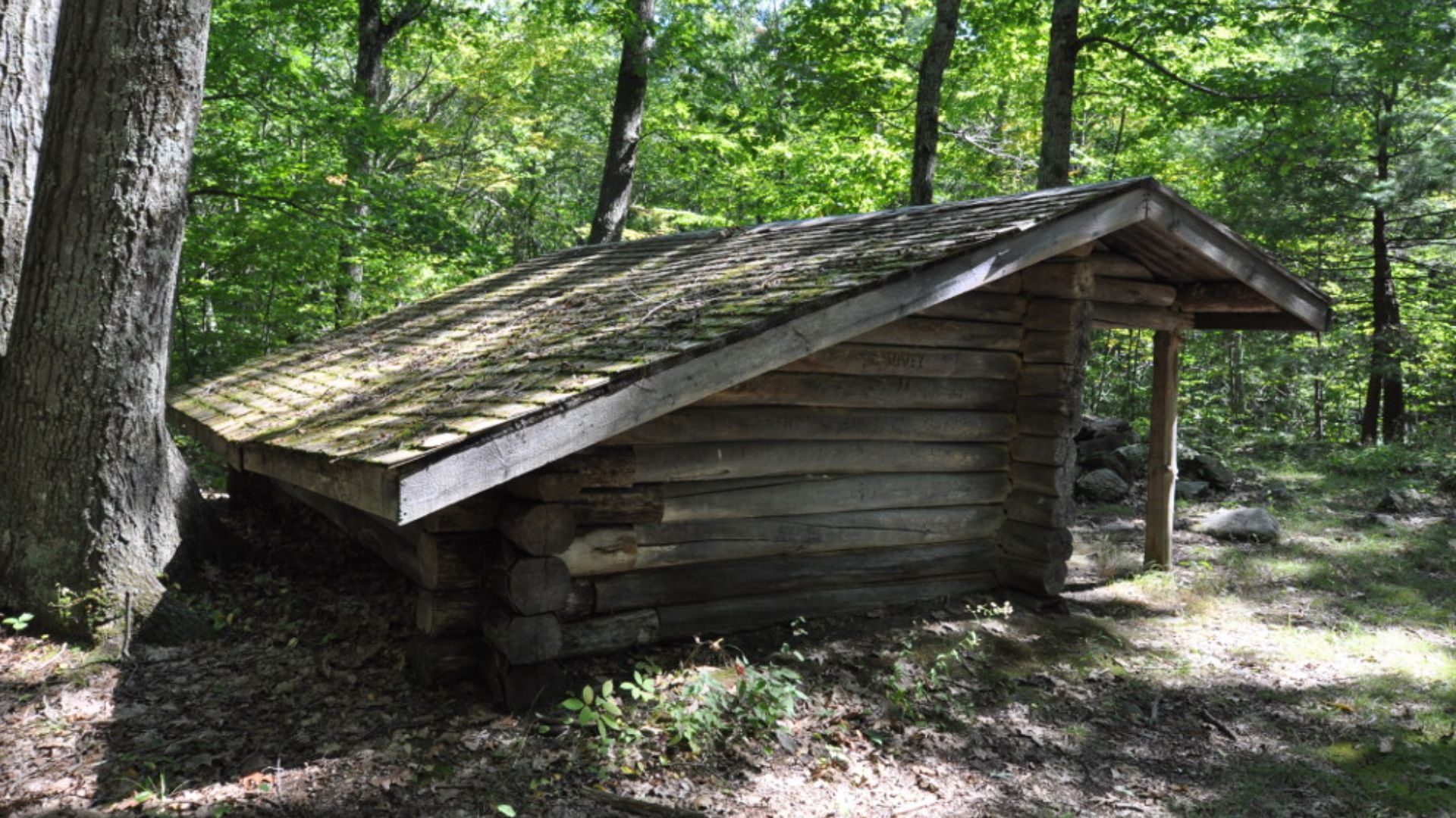
Today, almost nothing recognizable as a town remains. That's arguably what makes Dudleytown creepier. There isn't a picturesque Main Street full of abandoned saloons. There are simply woods, scattered traces of old foundations—and generations of stories warning that something about the place has never felt quite right.
Sometimes There's A Very Good Reason A Town Is Empty
These places weren't abandoned because everyone collectively got bored and moved to the suburbs. Residents watched the ground burn beneath their houses, discovered poison in their streets, saw mines collapse, endured catastrophic floods and—in the most mysterious cases—became convinced that staying might be considerably more dangerous than leaving.
Some of these towns are now historic sites. Others are inaccessible or privately owned. But all 12 share one unnerving feature: at some point, the people who called them home decided they were better off somewhere else.
And after hearing what happened in some of them, it's hard to blame them.
 King of Hearts, Wikimedia Commons
You May Also Like:
California Hidden Gems That Even The Residents Don’t Know About
50 Photos of America’s Squatter Paradise—Slab City, California
Small Town Charm in California