The Missing Roads Beneath The Sea
Humanity’s greatest journey may have left some of its most important footprints in the worst possible place for archaeologists: underwater. A new reconstruction of Ice Age coastlines suggests that ancient travel corridors around northeastern Africa and the Middle East looked dramatically different before rising seas swallowed them.
The Human Migration Puzzle
Scientists know that Homo sapiens evolved in Africa before populations spread into Asia, Europe, Australia, and eventually the Americas. What remains fiercely debated is exactly how those journeys unfolded. There probably wasn’t one heroic march out of Africa, but numerous movements occurring under very different environmental conditions.
An Ice Age Map Would Look Strange
Take today's map and throw it away. During colder periods, enormous quantities of water became trapped in glaciers and ice sheets. Ocean levels fell, exposing continental shelves that are now seabed. Coastlines sometimes extended many kilometers beyond the beaches we recognize today.
The Sea Fell By About 125 Meters
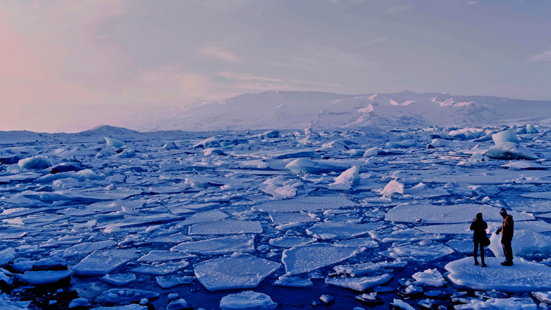
Over the past 120,000 years, global sea levels fluctuated by roughly 125 meters. At the Last Glacial Maximum around 20,000 years ago, the new study estimates that Earth had about 11.6% more exposed land than it does today. That is an enormous amount of missing real estate.
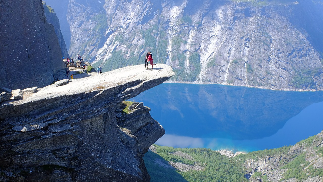 Frankemann, CC BY-SA 4.0, Wikimedia Commons
Welcome To Aquaterra
Geographer Jerome Dobson calls these submerged former landscapes “aquaterra.” They weren’t oceans to the people living at the time. They were beaches, plains, islands, river mouths, and potentially settlement zones. Today, many of those landscapes can only be investigated by underwater archaeologists.
Scientists Are Rebuilding The Lost World
Dobson and researchers Giorgio Spada and Gaia Galassi reconstructed ancient coastlines around northeastern Africa and the Middle East. Their 2025 study combined archaeological information with geographic evidence and an improved model of historic sea levels, producing snapshots of landscapes going back 30,000 years.

Earth Itself Was Moving
Reconstructing those coastlines isn't as easy as dropping the ocean by 100 meters on Google Maps. Giant ice sheets actually deformed Earth's crust. Researchers therefore used Glacial Isostatic Adjustment, or GIA, modeling to account for how the planet's surface moved as ice accumulated and melted.
There Is One Big Catch
The study's detailed reconstructions begin around 30,000 years ago. The major Homo sapiens dispersals associated with today's non-African populations occurred earlier. So these maps don't reveal the original migration route directly; instead, they show how dramatically later Ice Age geography could reshape travel possibilities.

The Familiar Northern Route
One famous pathway out of Africa runs northward through Egypt and the Sinai Peninsula into the Levant. Archaeology has long made this northern corridor an important part of migration models, and the new research argues that northern connections remain better supported than some proposed southern crossings.
Suez Wasn't Always Suez
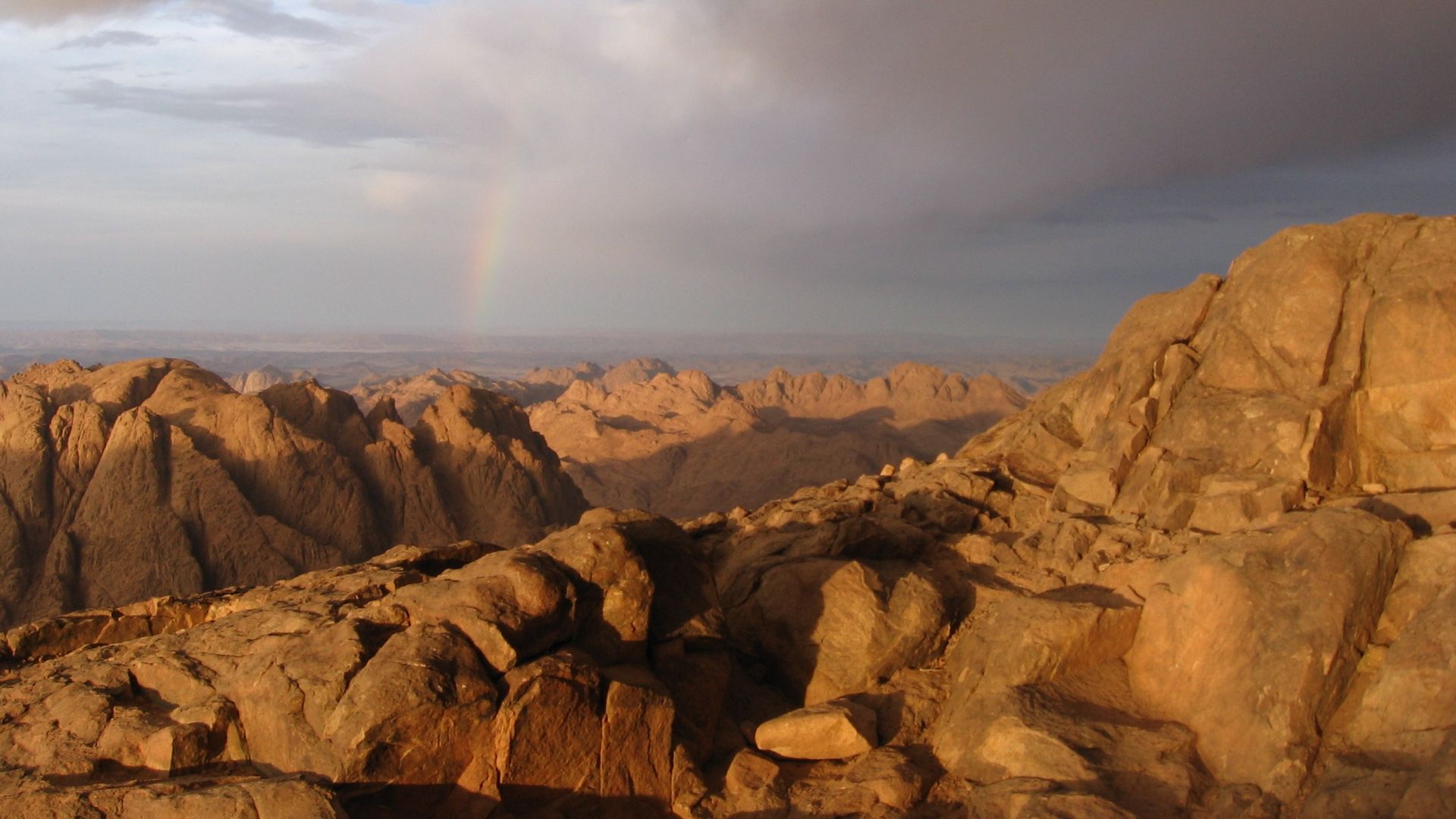
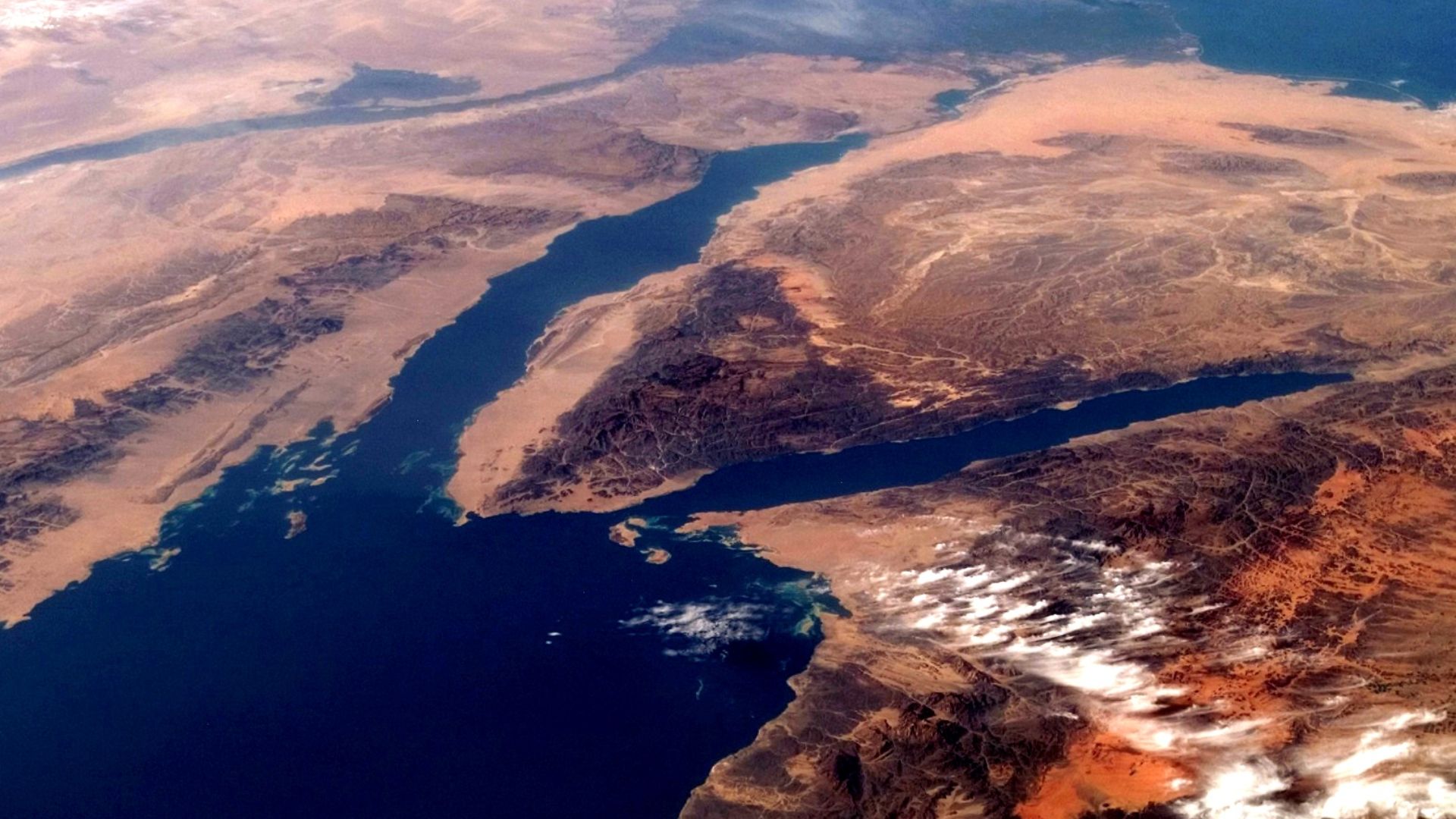
The Gulf of Suez changed dramatically as sea levels rose. During the Last Glacial Maximum, much of the gulf was dry, making the north-south overland journey across the region much longer than modern geography suggests. The researchers calculate a daunting crossing of roughly 520 kilometers.
Another Door Opened Near Aqaba
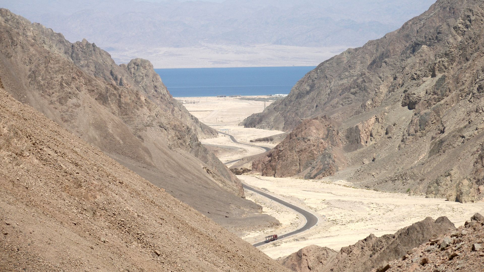
The Gulf of Aqaba provides another possible route connecting northeastern Africa with the Levant. Changing shorelines could have affected how easily people moved through this area. Rather than fixed roads, Ice Age migration corridors may have repeatedly opened, narrowed, shifted, and vanished as climates changed.
 Vyacheslav Argenberg, Wikimedia Commons
Then There Is Bab El-Mandeb
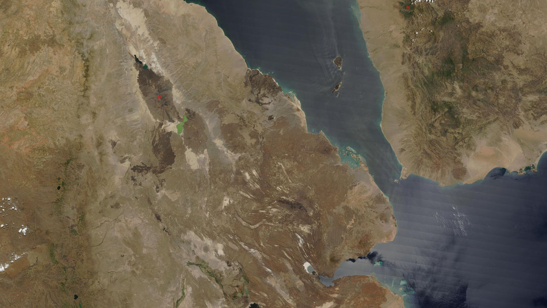
At the southern end of the Red Sea lies Bab el-Mandeb, separating Africa from Arabia. It has long fascinated researchers because lower Ice Age seas narrowed the water crossing. On a modern map it looks tempting—but geography alone doesn't prove ancient people actually crossed there.
 Jacques Descloitres, MODIS Land Rapid Response Team, NASA/GSFC, Wikimedia Commons
Watercraft Could Change Everything
Even with lower sea levels, Bab el-Mandeb remained a serious obstacle. Crossing open water depends on currents, weather, technology, and navigational ability. Dobson argues that the route appears less strongly supported archaeologically than the northern alternative, making ancient boating skills a crucial unanswered question.
 Official Navy Page from United States of America MC3 Daniel J. Meshel/U.S. Navy, Wikimedia Commons
Arabia Wasn't Always A Giant Desert
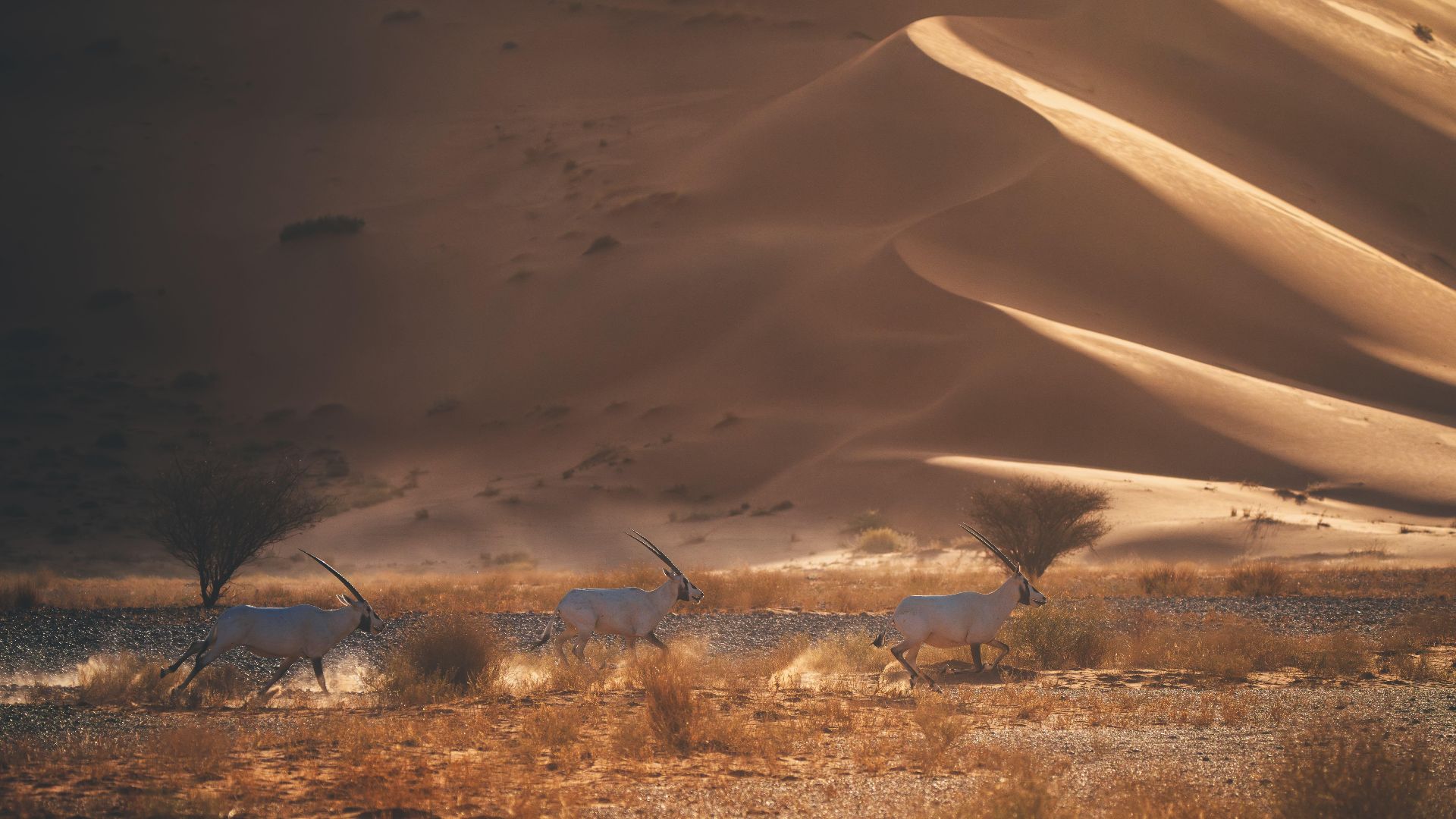
Anyone imagining prehistoric migrants trudging endlessly through today's Arabian dunes is missing another major change. Arabia repeatedly became wetter. Lakes and grasslands appeared during humid periods, turning hostile desert into habitable territory and creating temporary windows through which hominin populations could move.
 Saudi Press Agency (SPA), Wikimedia Commons
People Came Through Again And Again
Research from northern Arabia has identified at least five major phases of hominin expansion over roughly 400,000 years, each associated with wetter conditions. Rather than constant occupation, people seem to have entered during favorable periods before populations contracted again when intense aridity returned.

Humans Reached Deep Into Arabia
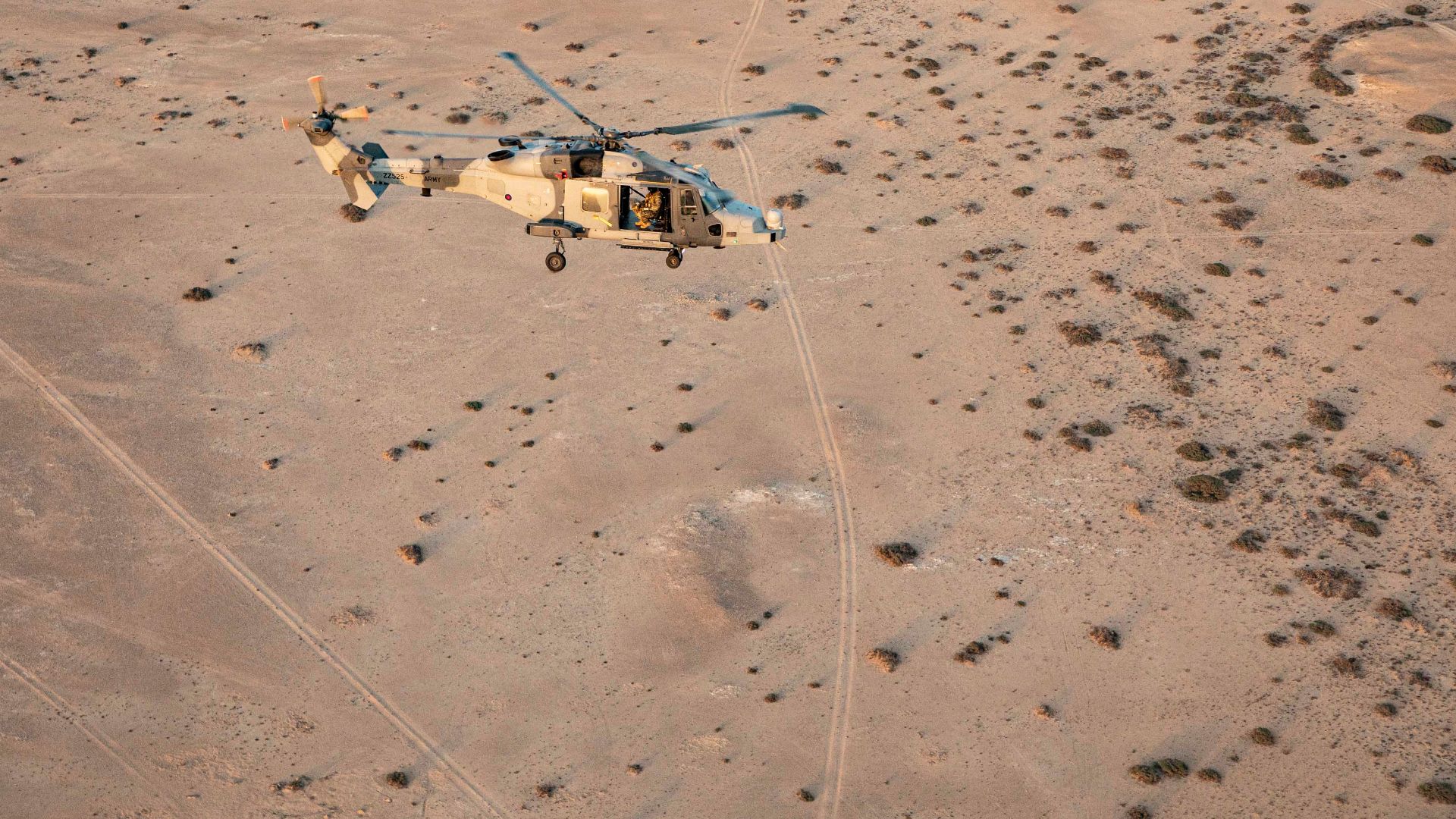
A fossil finger bone from Al Wusta in Saudi Arabia demonstrates that Homo sapiens had reached the Arabian interior roughly 85,000 years ago. Its surroundings were far greener then, reinforcing the idea that changing climate—not simply distance—controlled when migration routes became attractive.
 Ministry of Defence, Wikimedia Commons
The Nile Remains Crucial
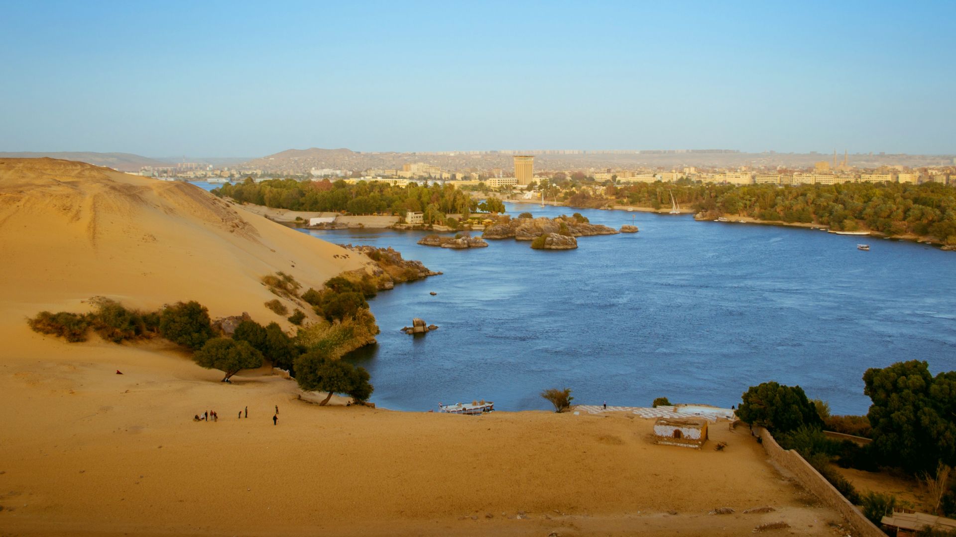
The Nile Valley naturally features heavily in these migration debates. It offered water and resources through an otherwise difficult landscape. The 2025 study favors patterns of south-to-north and east-to-west occupation within the valley while exploring connections between the Nile and now-transformed Red Sea coast.
 Abdelrahman Abdelazeem, Wikimedia Commons
Foul Bay Could Be A Big Deal
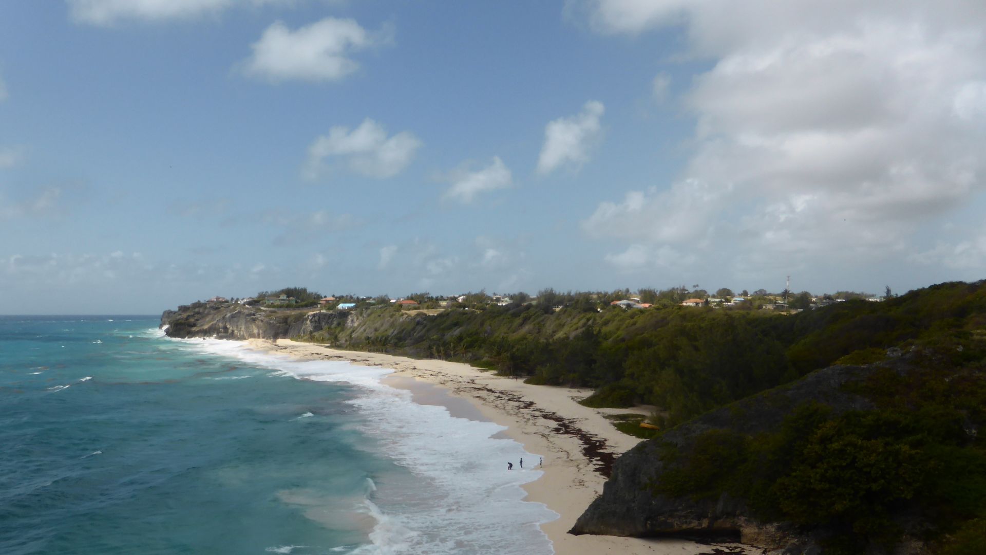
One intriguing alternative involves Foul Bay on Egypt's Red Sea coast. The researchers suggest travelers could potentially have moved between the Red Sea and Nile through this region, avoiding a much longer northern crossing. When sea levels were lower, however, Foul Bay itself looked radically different.
 Johnmartindavies, Wikimedia Commons
Berenice Adds To The Mystery
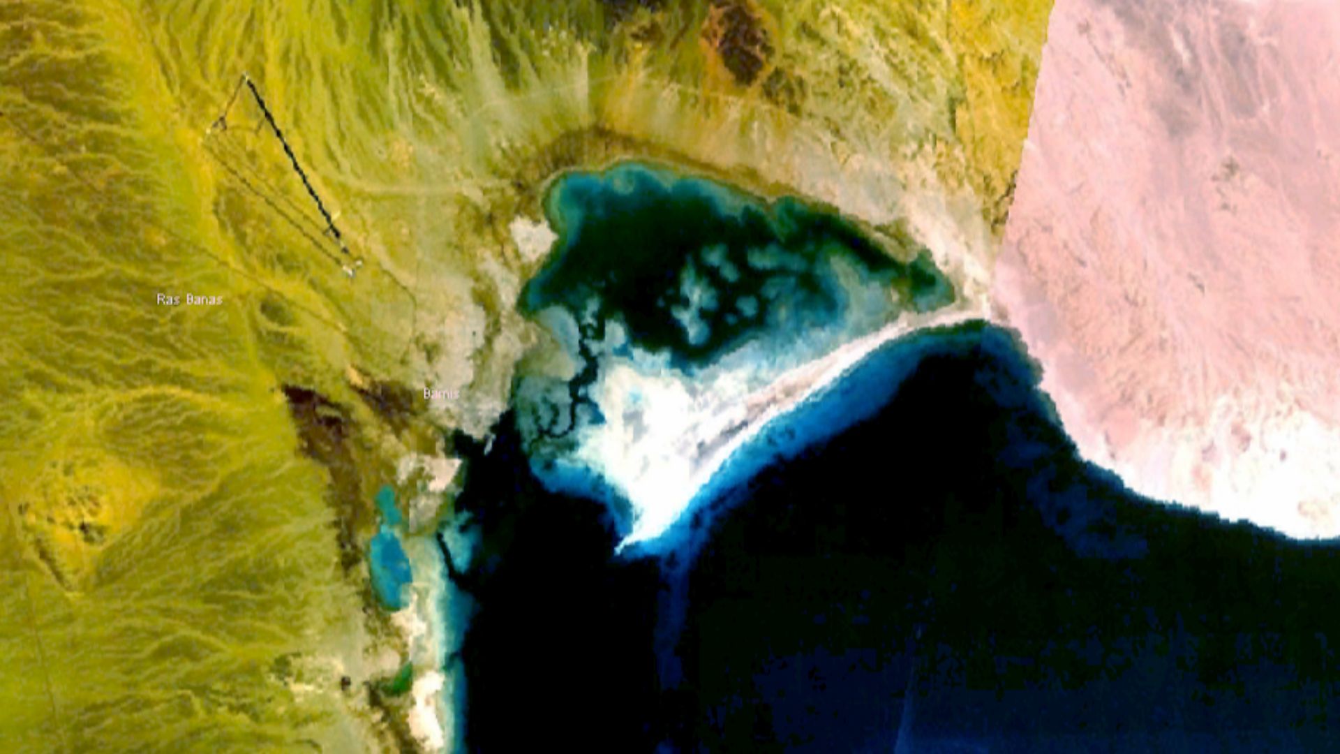
Today, Berenice is known as an ancient Red Sea port. Dobson's team argues that its strategic position should encourage archaeologists to look deeper into the area's prehistoric geography. That doesn't mean an Ice Age Berenice existed—but the surrounding corridor may preserve much older evidence of movement.
 US Government, damit frei verfuegbar, Wikimedia Commons
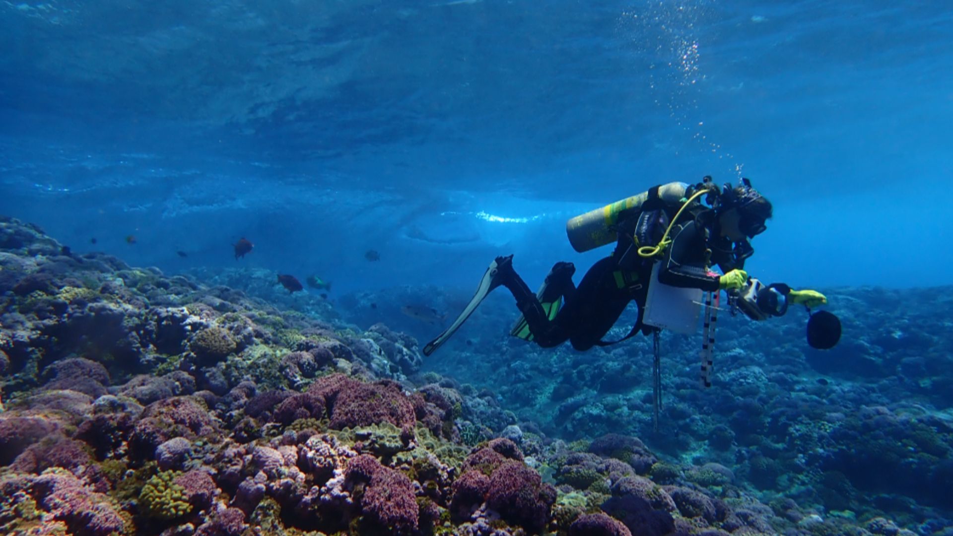
Those Coral Reefs Are Intriguing
The researchers also point to unusual patch coral formations in Foul Bay. Because coral requires a solid foundation, they raise the possibility that some formations could conceal human-made structures. Crucially, the authors call this circumstantial evidence and stress that underwater investigation is needed before anyone starts declaring a lost city.
 NOAA Fisheries/Mia Lamarind, Wikimedia Commons
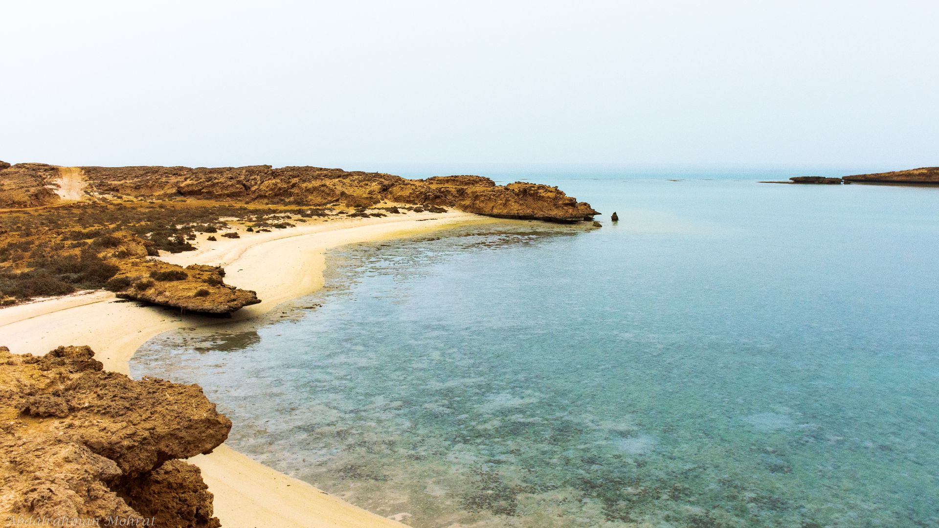
Africa's Northern Coast Matters Too
The Red Sea isn't the only watery frontier worth investigating. The study examines routes between North Africa and southern Europe, where lower seas changed the sizes of islands and distances between them. Ancient Mediterranean crossings may therefore deserve another look using reconstructed Ice Age geography.
 Abdalrahman Mohrat , Wikimedia Commons
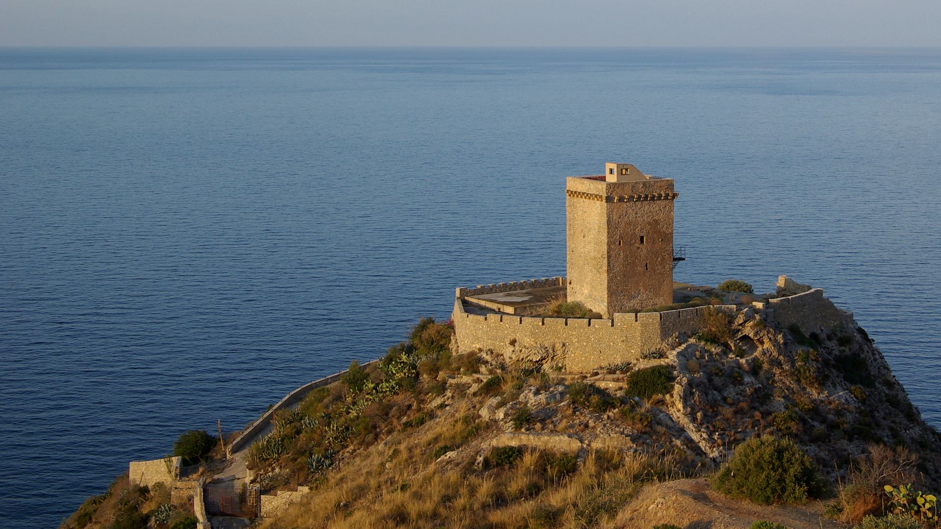
Sicily Was Much Harder To Miss
The researchers specifically modeled possible routes around Sicily and the Strait of Messina. Lower sea levels altered the islands and channels in this region, creating geography very different from today's. Once again, the point isn't that a particular migration happened—it's that old maps may be misleading us.
 Berthold Werner, Wikimedia Commons
Coastlines Were Valuable Places To Live
Ancient coastal environments could offer shellfish, fish, plants, freshwater sources, and easy travel along shorelines. Unfortunately, archaeologists face an obvious problem: sites created on low Ice Age coasts were often flooded as glaciers melted, potentially removing entire settlement zones from the archaeological record visible on land today.
 Dwi sumaiyyah makmur, Wikimedia Commons
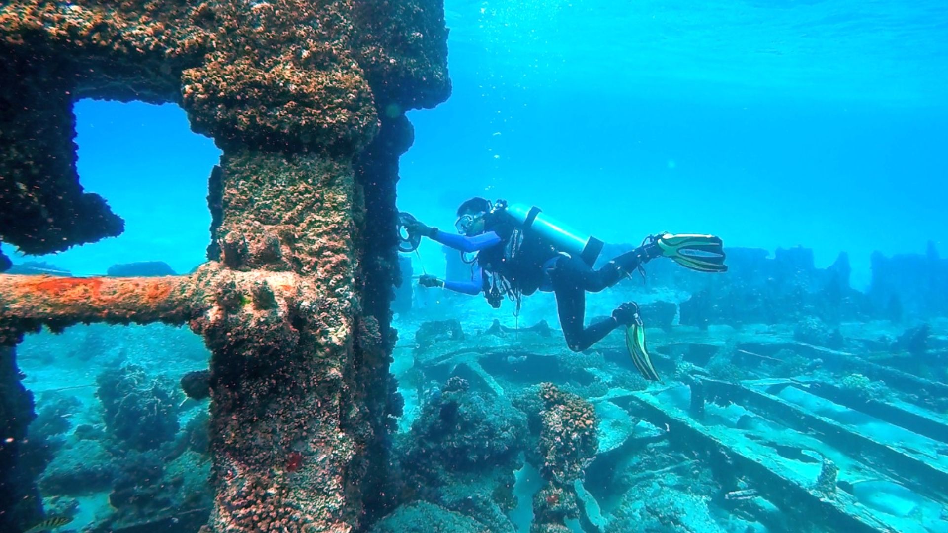
Underwater Archaeology Actually Works
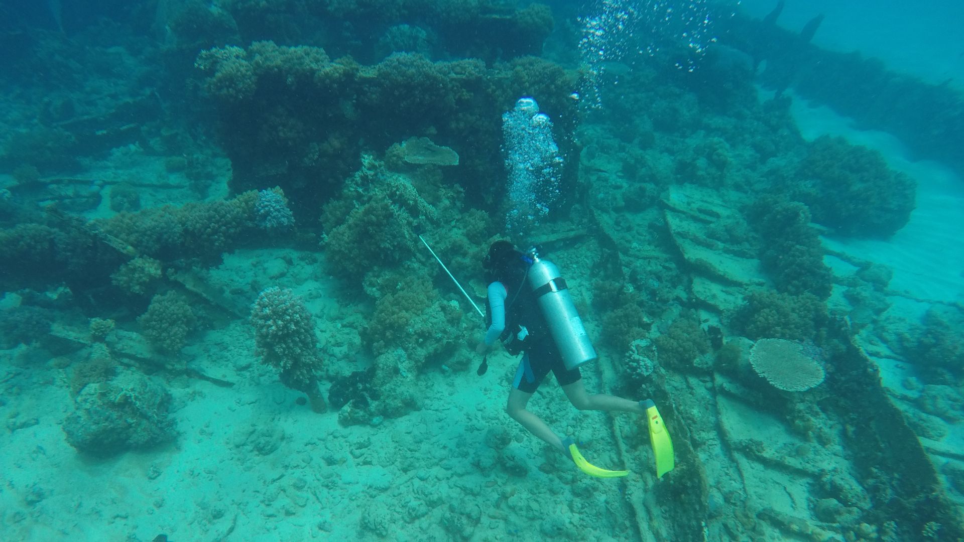
This isn't just wishful thinking. Archaeologists studying submerged prehistoric landscapes elsewhere have demonstrated that ancient materials can survive inundation. Research off Western Australia, for example, has used marine acoustics, coring, diving, and predictive modeling to hunt landscapes occupied before post-glacial seas covered huge portions of the continental shelf.
 Dwi sumaiyyah makmur, Wikimedia Commons
Searching The Seafloor Is The Next Step
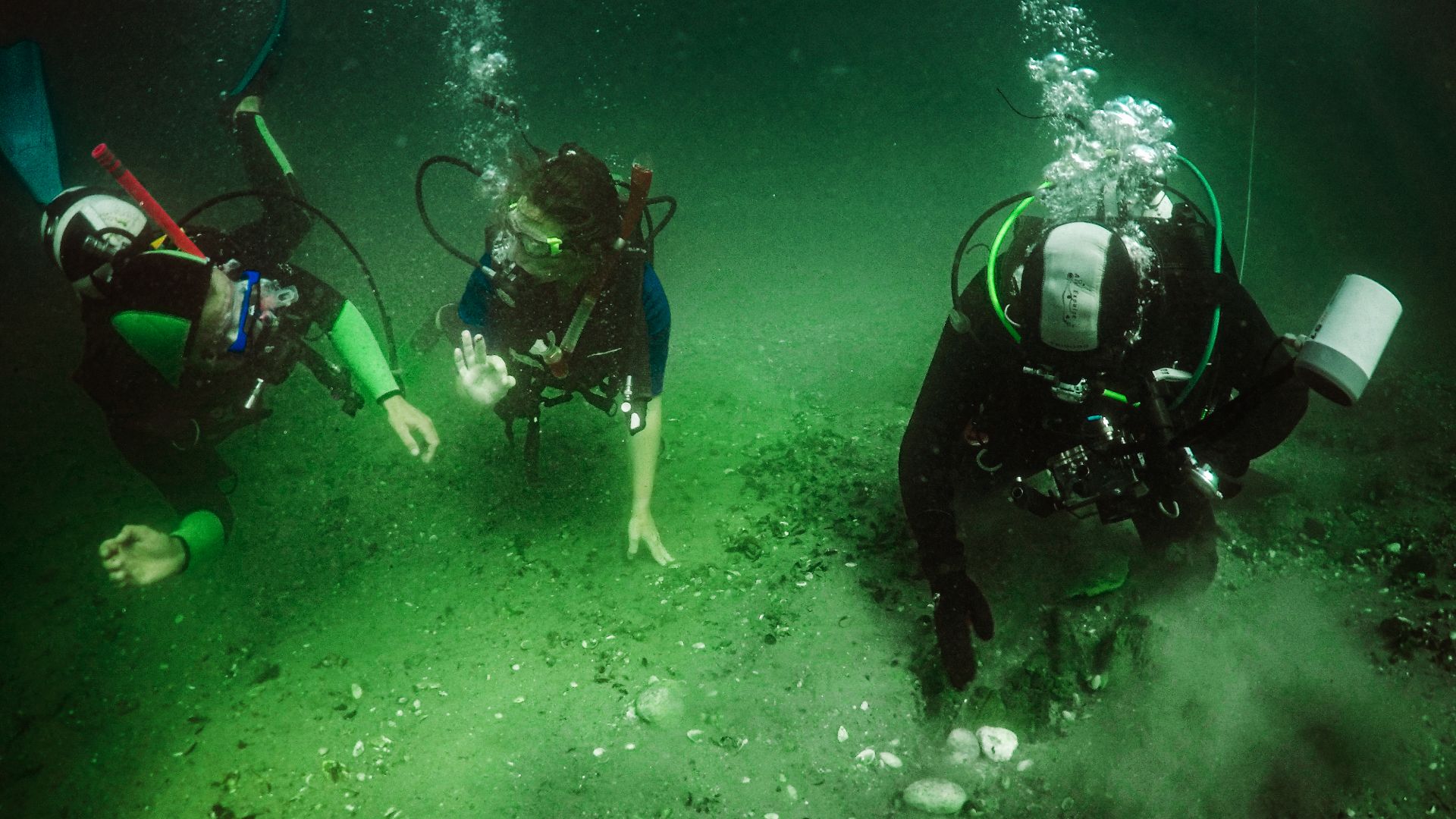
The new coastline reconstructions give archaeologists something incredibly valuable: targets. Instead of surveying enormous stretches of seabed blindly, researchers can concentrate on ancient river mouths, protected bays, bottlenecks, and other locations where people would logically have stopped, crossed, or settled.
Finding Something Isn't Enough
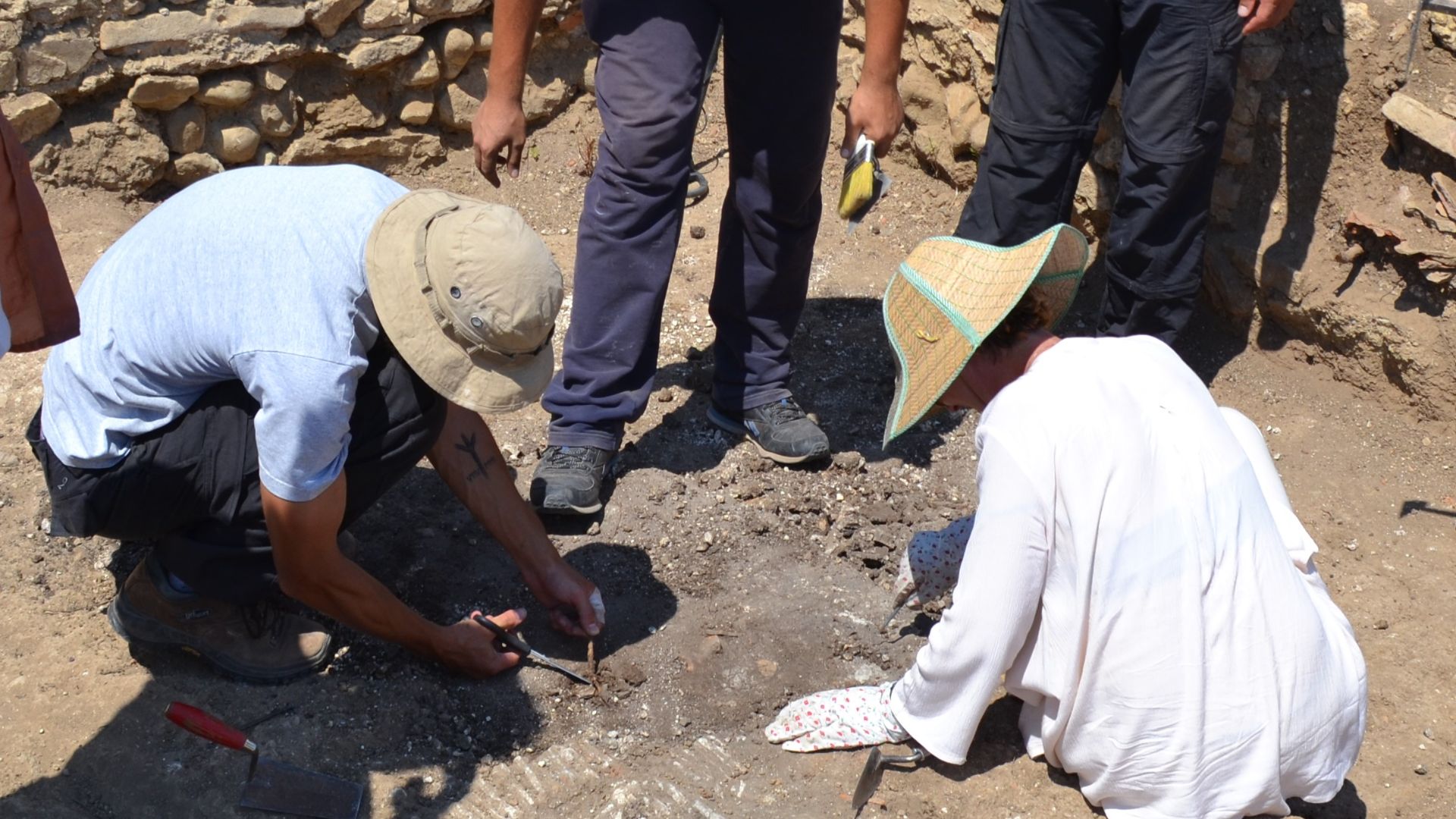
An underwater stone or suspicious structure does not automatically rewrite human history. Archaeologists need context, dating, sediment analysis, and convincing evidence that an object actually belonged to the drowned landscape. That is particularly important for provocative possibilities such as supposed structures beneath the coral of Foul Bay.
 Oleksandr (Alex) Zakletsky, Wikimedia Commons
The Missing Chapter May Be Underwater
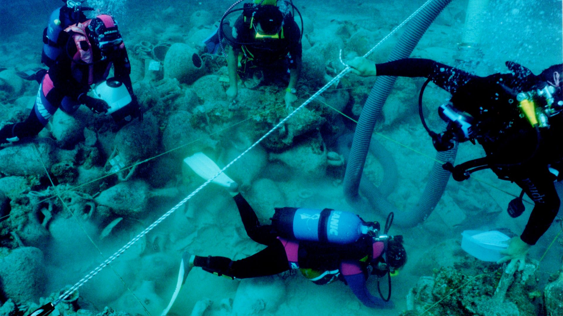
The great lesson from this research is surprisingly simple: modern coastlines can fool us. Ice Age humans traveled through landscapes that no longer exist, and some of the archaeological evidence we are searching for may now lie beneath the waves. The next major clue to humanity's journey out of Africa could require a wetsuit.
 Elpida Hadjidaki, Wikimedia Commons
You May Also Like:
Lost Social Rules For Dining Out That Younger Generations Wouldn't Believe