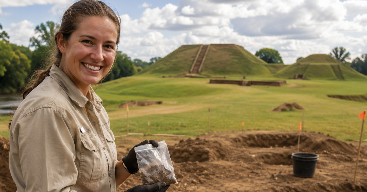
A City Story Hidden In Georgia Soil
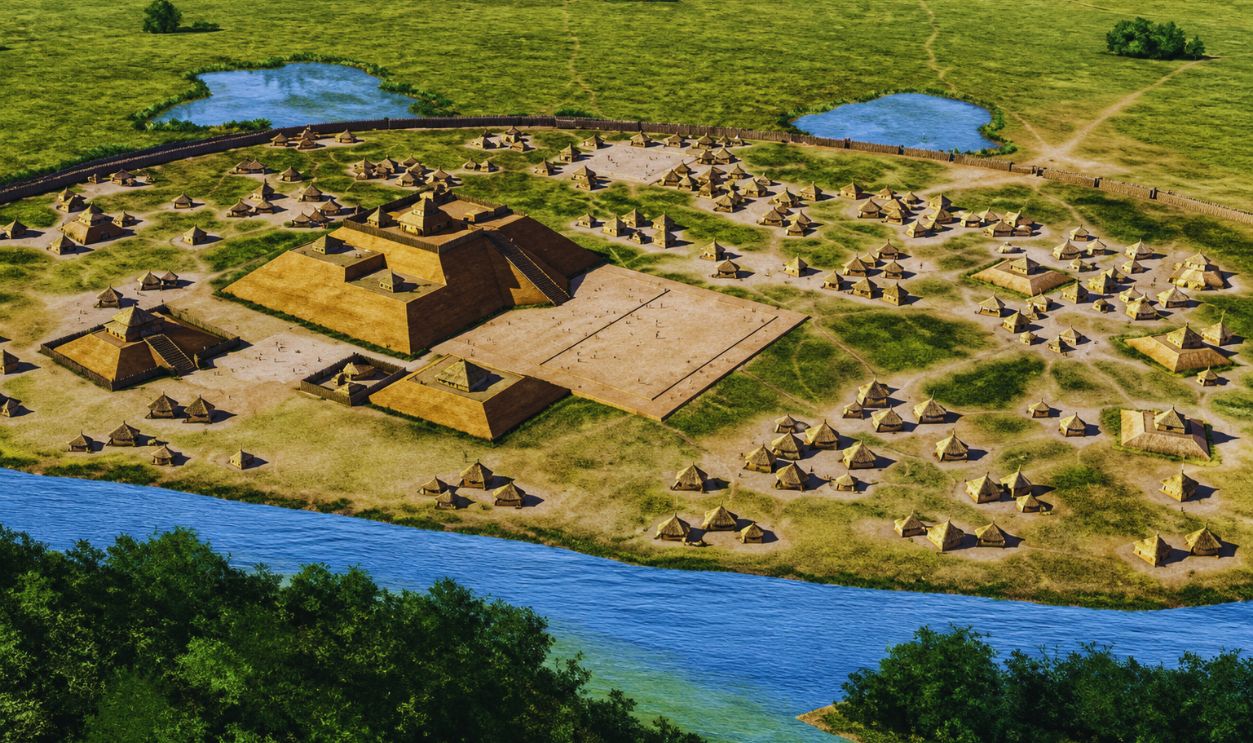
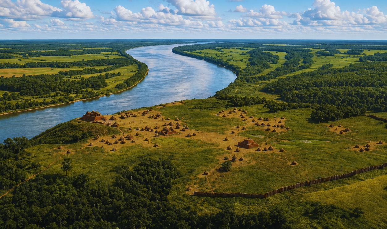
Georgia’s ancient mounds may look peaceful today, but they were once the busy heart of powerful communities. Artifacts linked to the Mississippian culture are helping archaeologists see these places not as random villages, but as carefully planned towns with plazas, buildings, defenses, trade routes, and ceremonial spaces.
Meet The Mississippian World
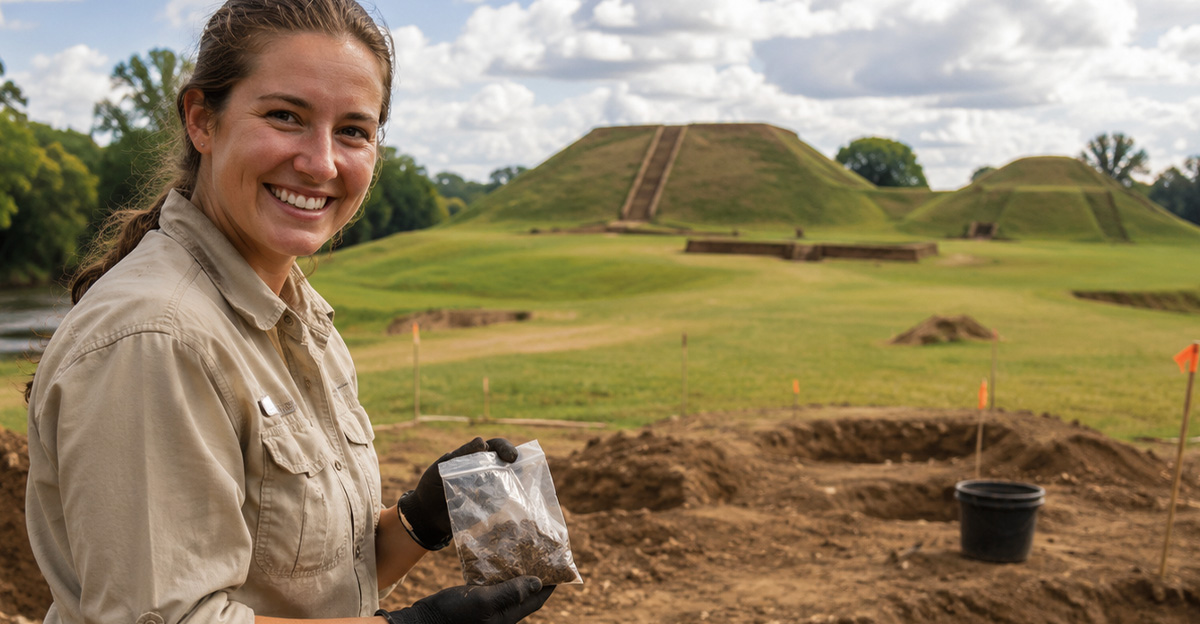
The Mississippian culture flourished across much of the Midwest, East, and Southeast between about 800 and 1600 CE. In Georgia, these communities built large towns, farmed rich river valleys, created beautiful objects, and organized life around powerful leaders, public rituals, and impressive earthen architecture.
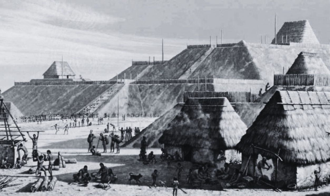 Michael Hampshire for the Cahokia Mounds State Historic Site., Wikimedia Commons
Georgia Was Not A Backwater
When people imagine ancient urban planning, they often picture stone streets in Rome or pyramids in Mexico. Georgia tells a different story. Here, city planning happened with soil, wood, riverbanks, plazas, mounds, and human effort. The results were huge, organized, and deeply connected to the landscape.
Ocmulgee’s Ancient Blueprint
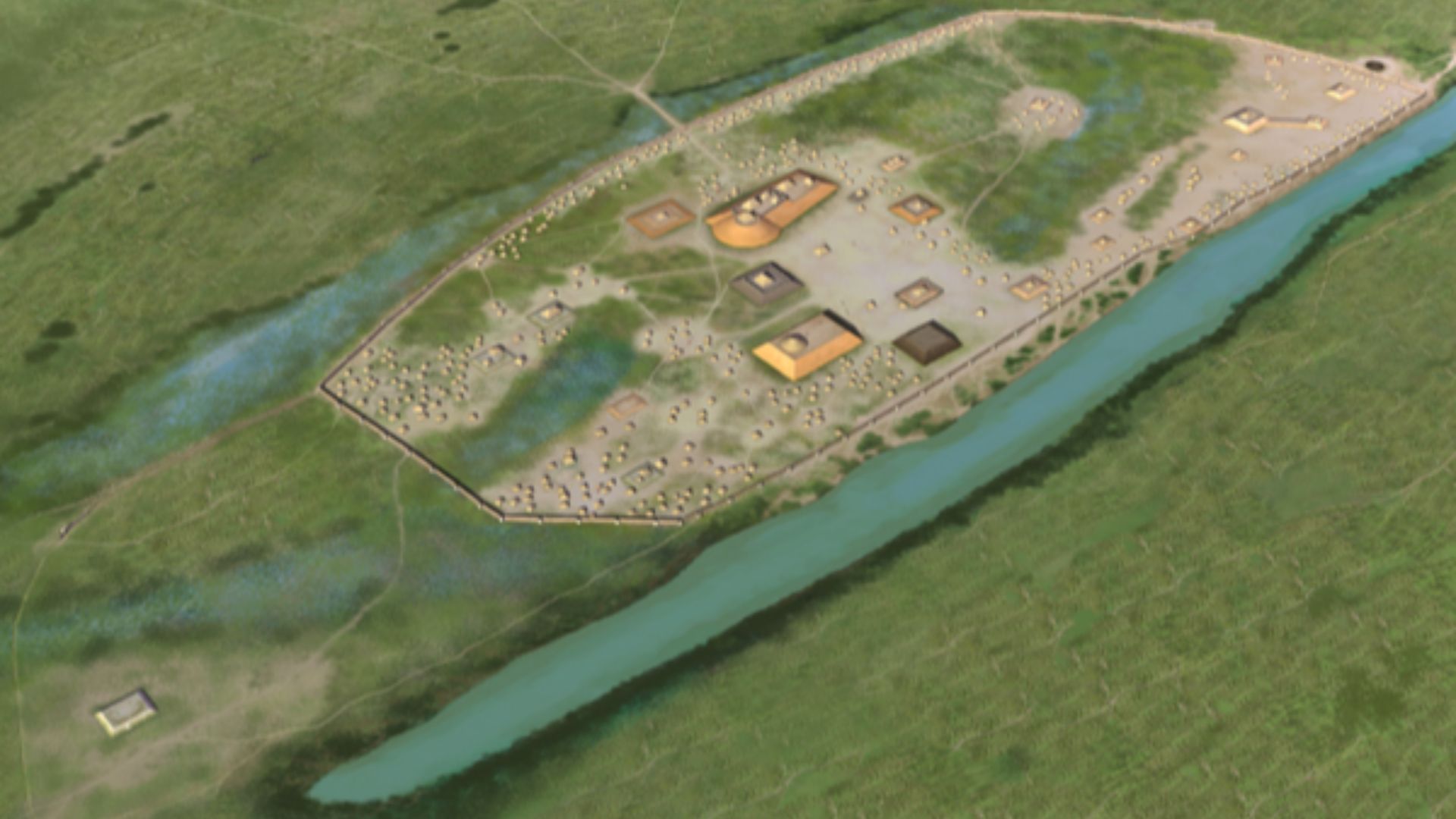
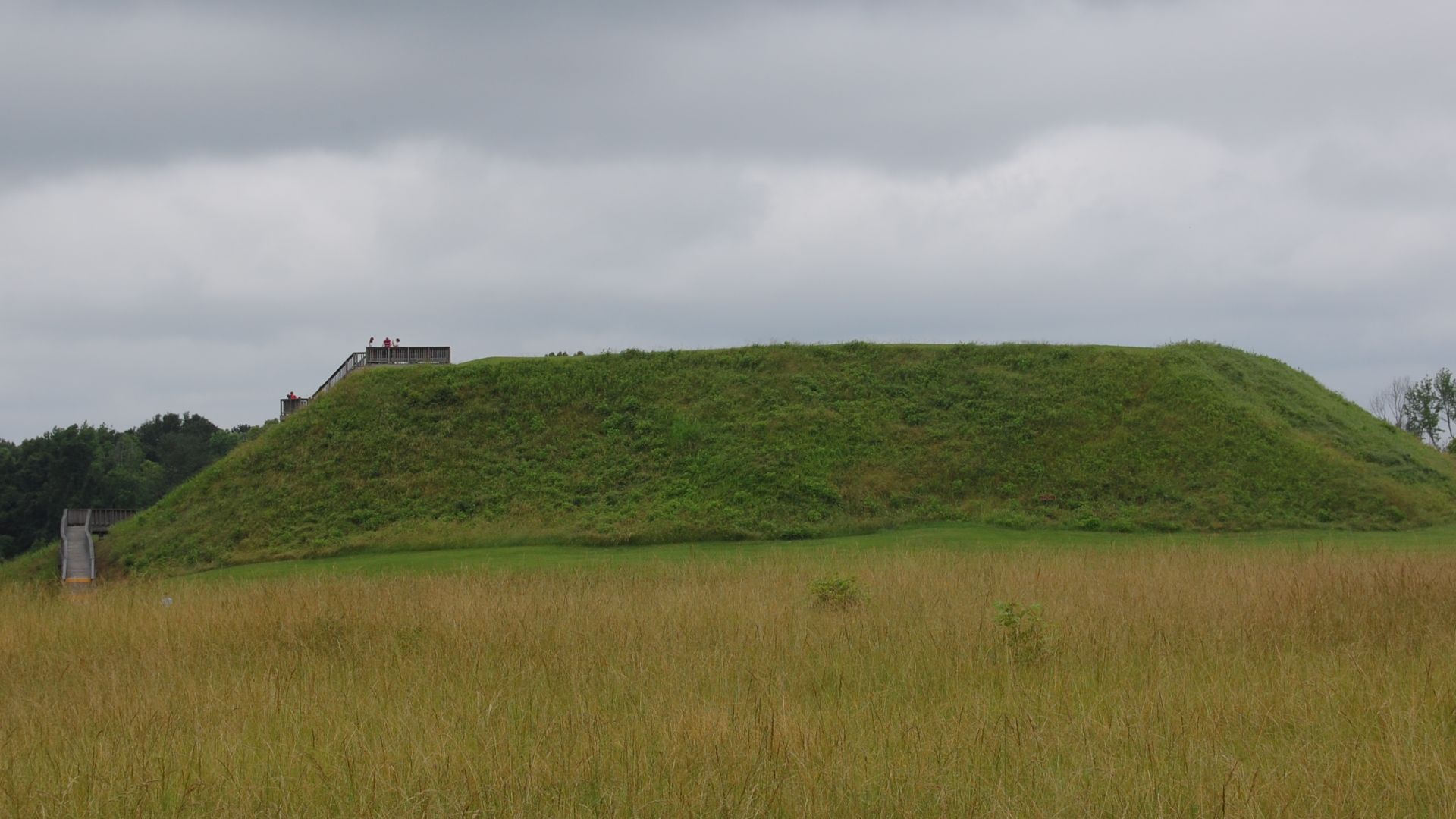
At Ocmulgee Mounds in present-day Macon, Mississippian people built a major ceremonial complex and town on the Macon Plateau. Archaeologists have found artifacts there that help explain daily life, leadership, ritual, and movement through the settlement. It was a planned place, not a scattered campsite.
 Bubba73 (talk), Jud McCranie, Wikimedia Commons
A Town Built Around Meaning
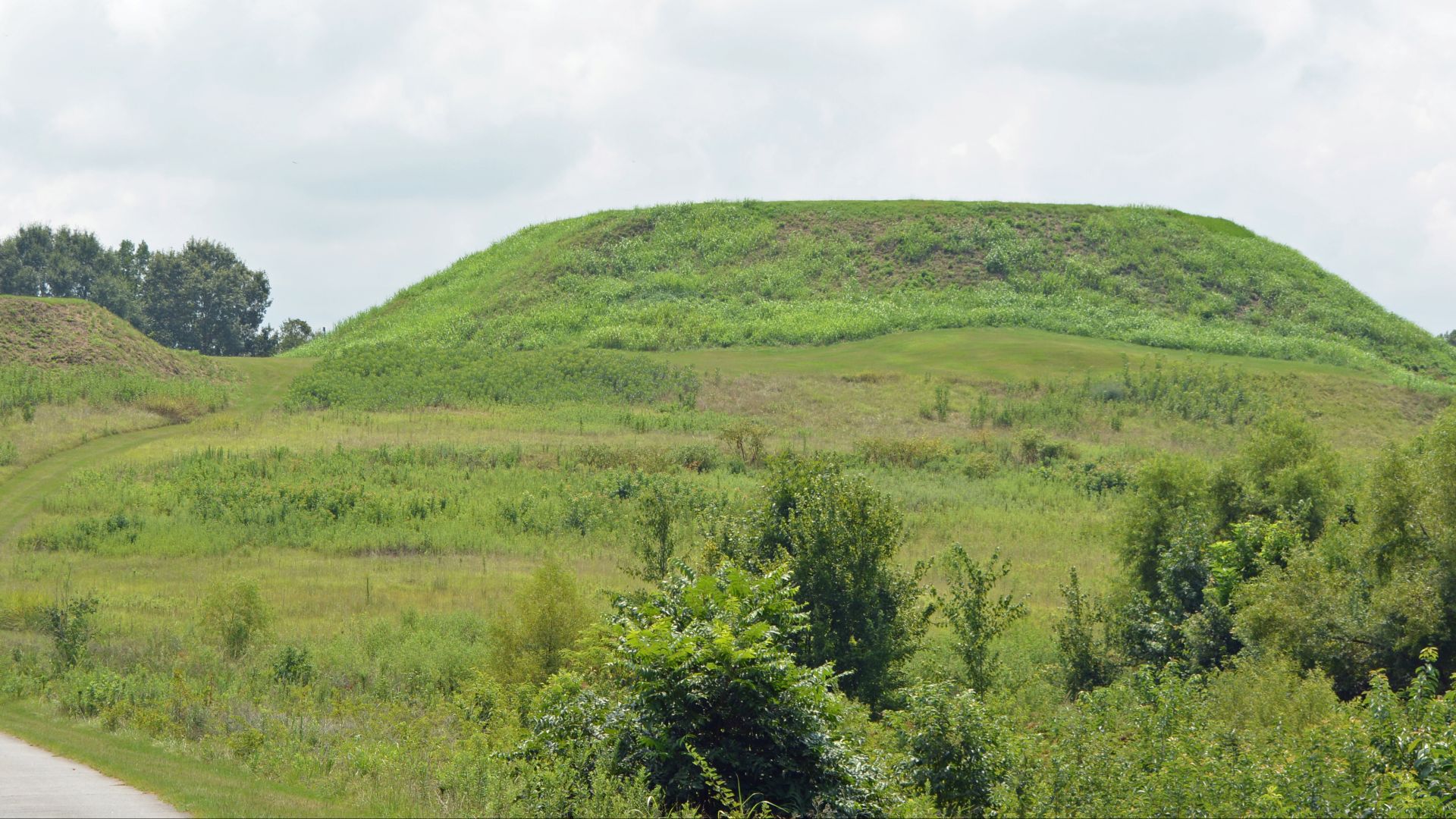
Ocmulgee’s mounds were not just big piles of earth. They were anchors in a designed landscape. Public spaces, council areas, and important buildings were placed with care. The layout shows that people were thinking about ceremony, authority, visibility, gathering, and how a community should move together.
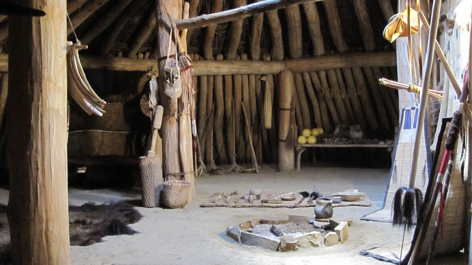
The Earthlodge Still Speaks
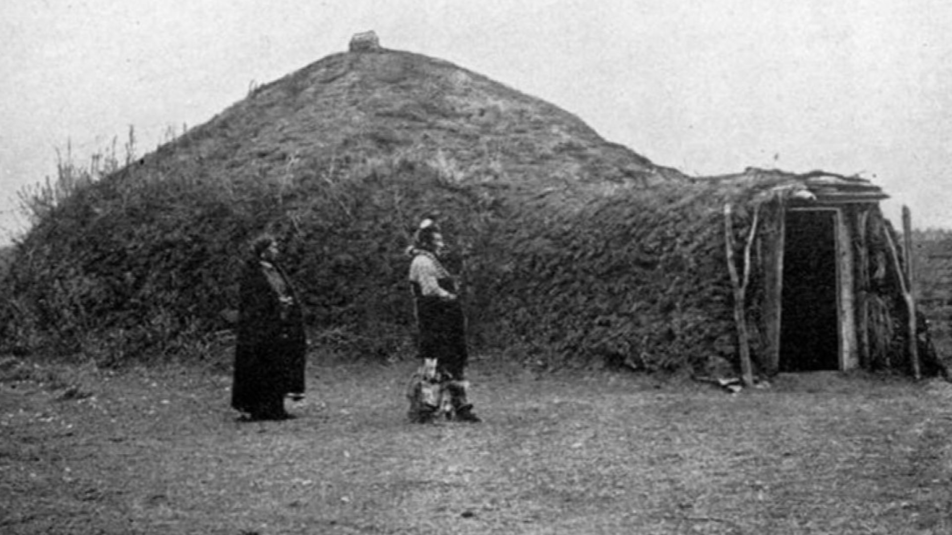
One of Ocmulgee’s most fascinating features is its reconstructed Earthlodge, based on archaeological evidence. Inside, visitors can imagine a council chamber where important conversations may have taken place. It reminds us that urban planning is not just about streets. It is also about power, meetings, and shared decisions.
 Furnished by Alice C. Fletcher, Wikimedia Commons
Etowah’s Urban Drama
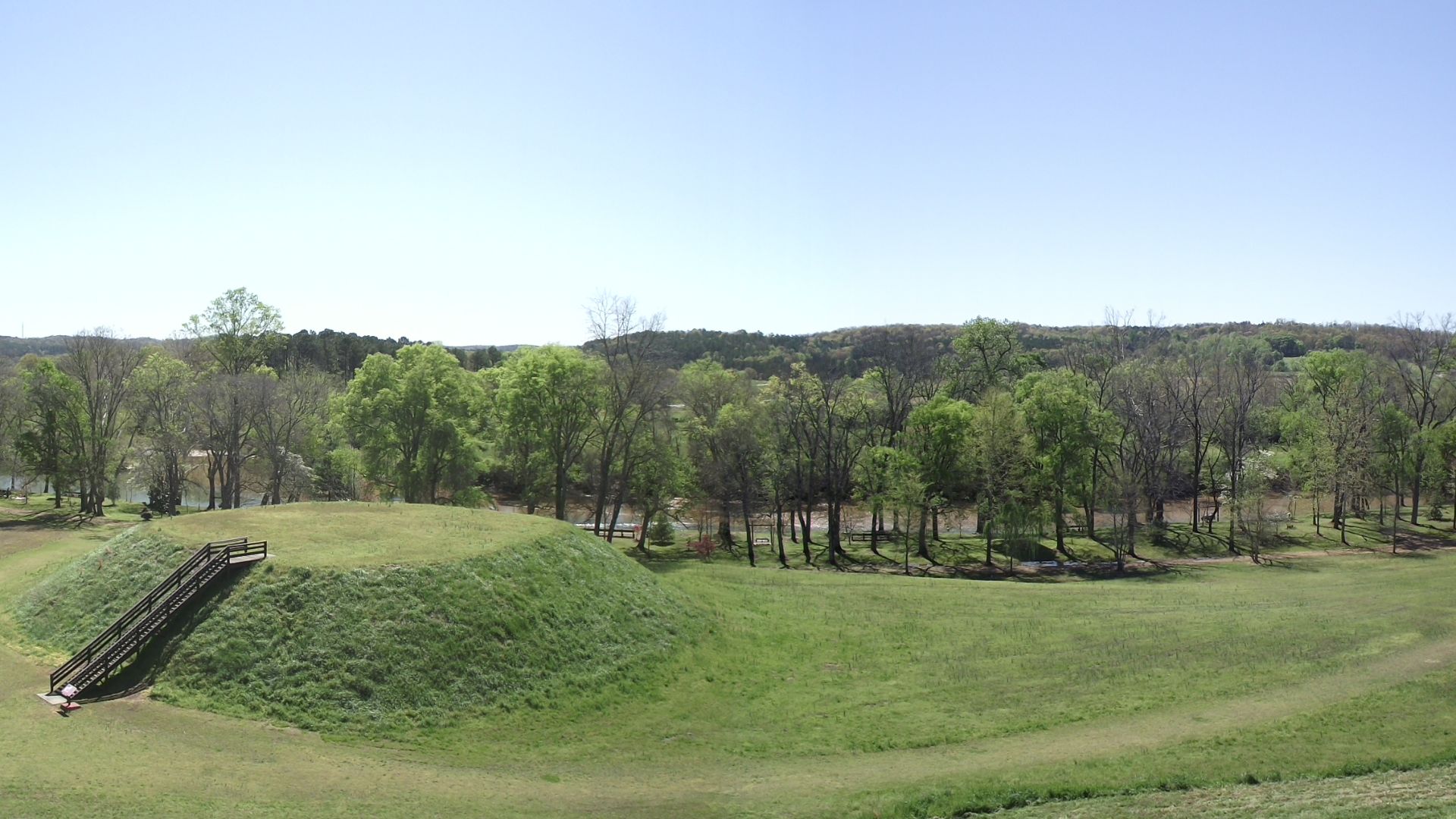
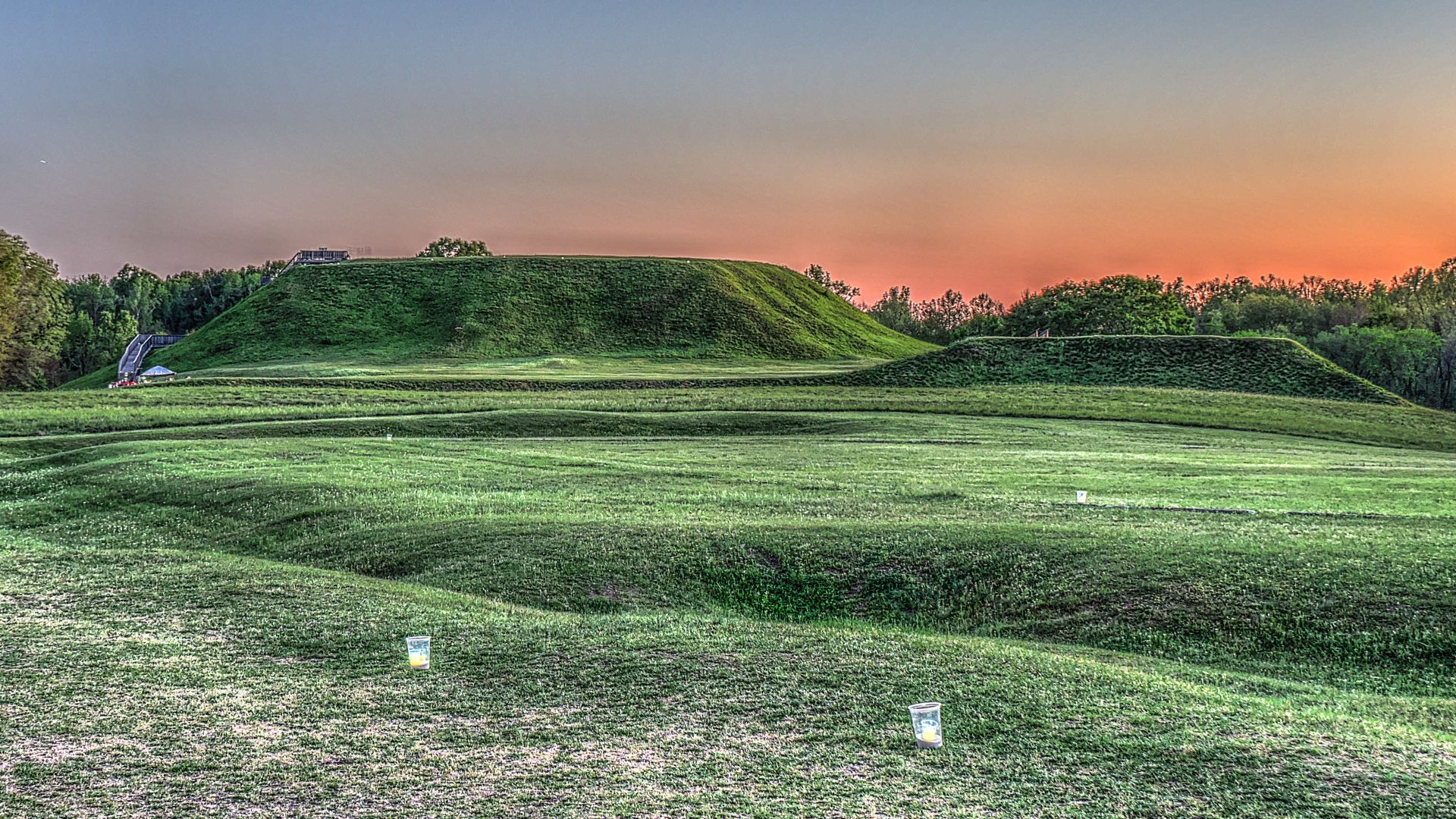
Farther north, near Cartersville, Etowah Indian Mounds gives travelers another window into Mississippian planning. Georgia State Parks describes the 54-acre site as protecting six earthen mounds, a plaza, a village site, borrow pits, and a defensive ditch. That sounds a lot like an ancient city plan.
The Plaza Was The Stage
At Etowah, the plaza was not empty space. It was the social stage of the town. People could gather there for ceremonies, games, markets, and public events. Like a town square today, it helped turn a settlement into a community with rhythm, routine, and shared identity.
Mounds With A Purpose
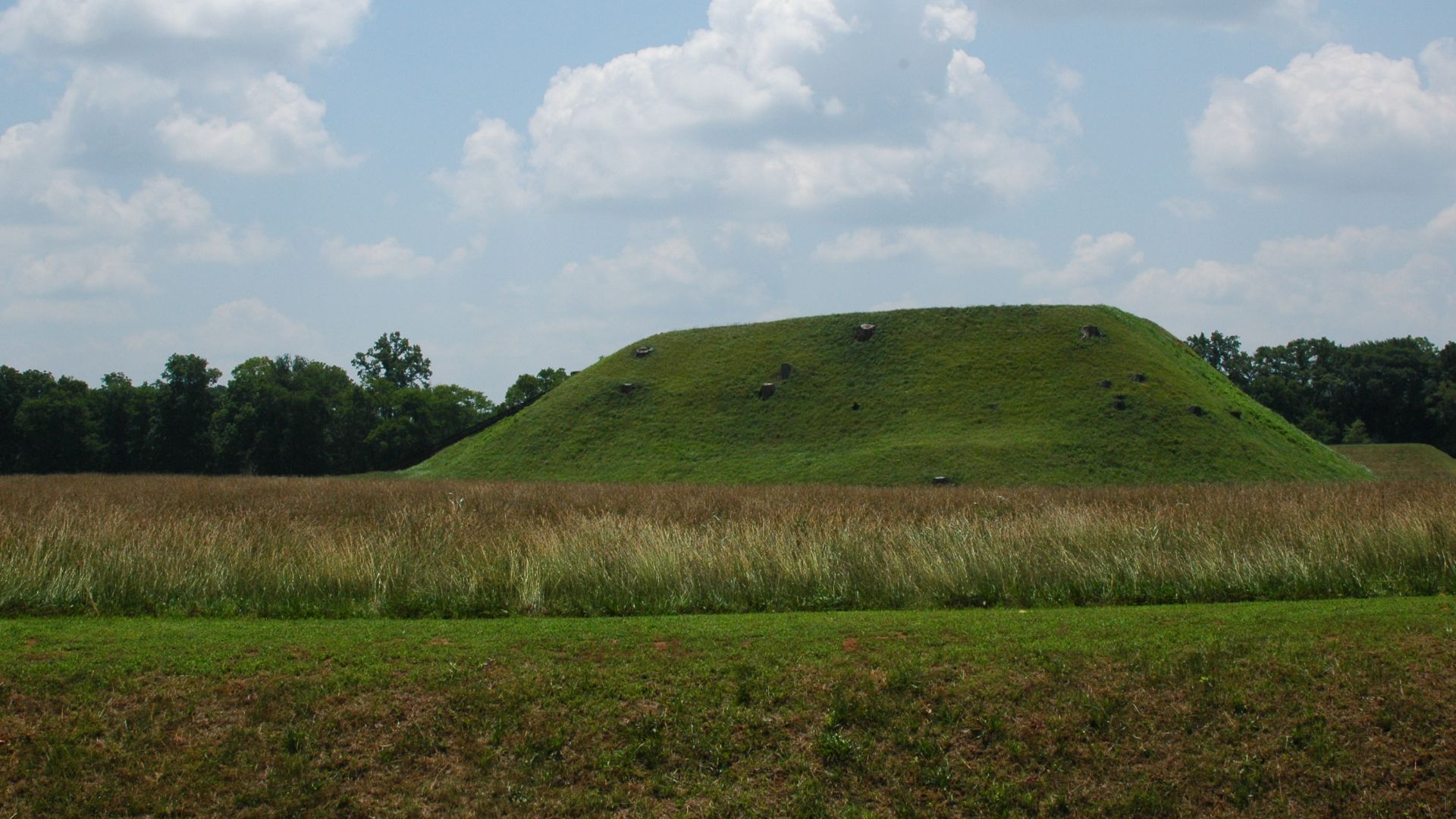
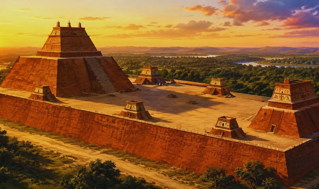
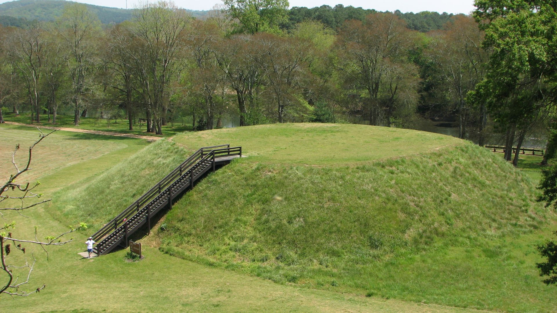
The large mounds at Etowah and Ocmulgee were platforms for important buildings and ceremonies. Their height made leadership visible. Their construction required planning, labor, and coordination. Every basket of soil carried to the top was part of a bigger civic project.
 Torqtorqtorq, Wikimedia Commons
Borrow Pits Tell A Story
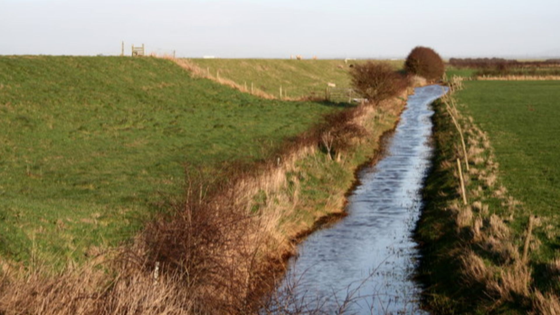
Those “borrow pits” at Etowah may not sound glamorous, but they are archaeological gold. They show where soil was taken to build the mounds. In other words, the builders were reshaping the land on purpose, moving earth from one place to create a powerful new skyline in another.
 Gooseterrain2, Wikimedia Commons
Defenses And Boundaries
Etowah also had defensive features, including a ditch. That tells us the town had boundaries and concerns about protection. Urban planning often includes defense, and Mississippian communities understood that. Their towns were social, ceremonial, economic, and strategic all at once.
 Roger Whittleston, Wikimedia Commons
Artifacts Fill In The Map
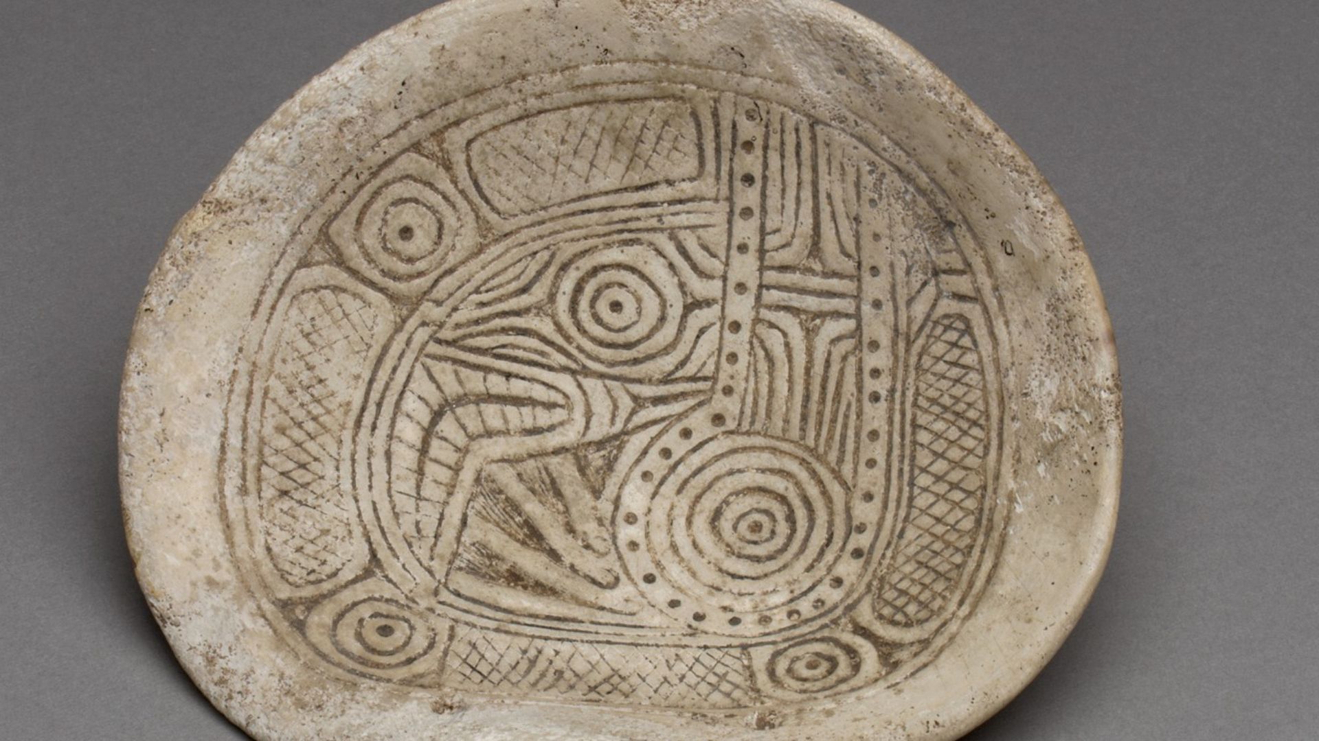
Artifacts are the clues that make the layout come alive. Pottery, tools, ornaments, shell objects, and other finds show what people made, traded, wore, cooked, used, and valued. Each object is like a tiny pin dropped onto the map of ancient life.
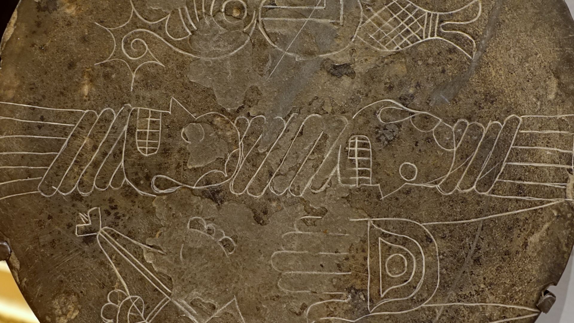
Pottery With A Passport
At Ocmulgee, pottery styles suggest connections beyond Georgia. Some evidence points to influences or migration from areas northwest of the state. That makes the site even more exciting. It was not isolated. It was part of a wider world of movement, contact, and shared ideas.
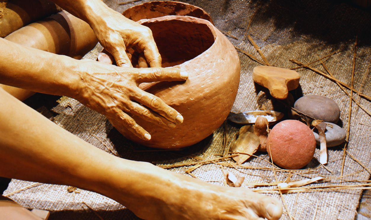
Trade Came To Town
Mississippian communities were plugged into long-distance exchange networks. Materials such as shell, copper, mica, stone, and pigments could move across regions. When those materials appeared in Georgia towns, they hinted at trade routes, alliances, tribute systems, and a surprisingly connected North America.
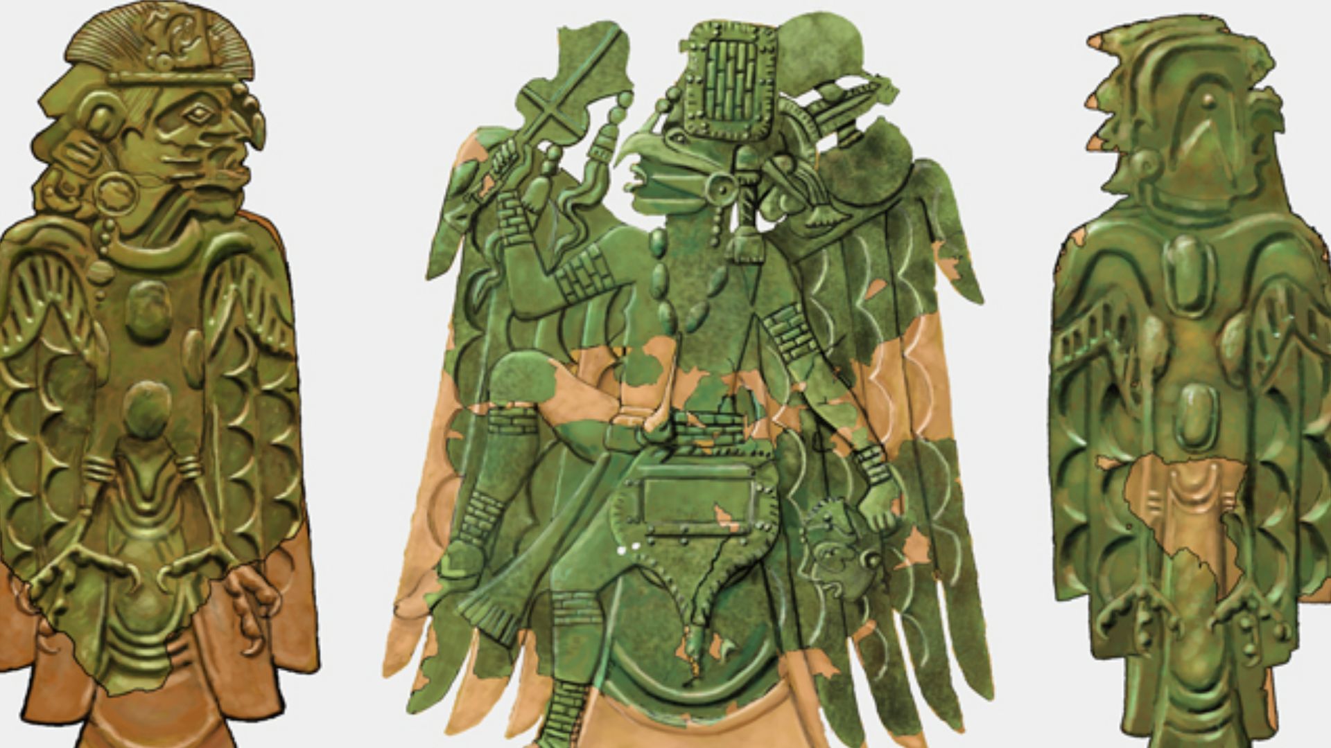 Herb Roe, www.chromesun.com, Wikimedia Commons
Cities Without Skyscrapers
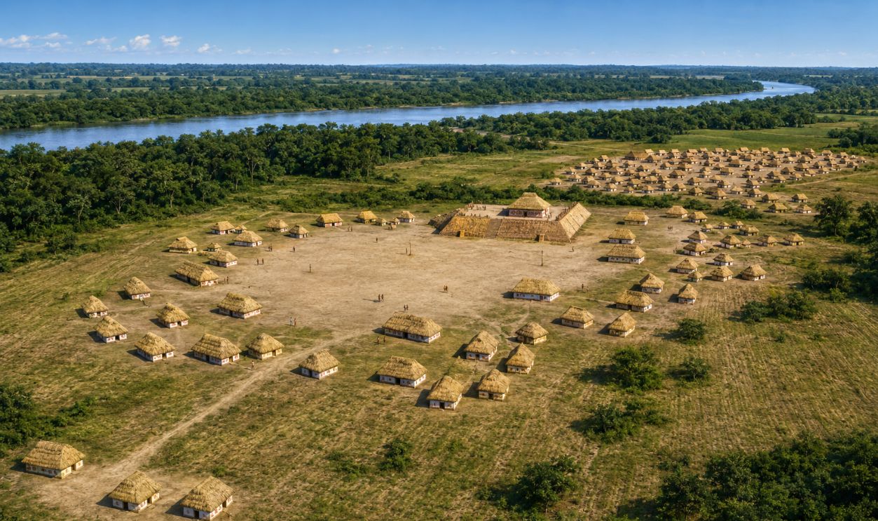
These were not cities in the modern sense, with traffic lights and apartment towers. Still, they had many features we associate with urban life: central places, planned public areas, specialized roles, elite spaces, trade, food systems, defensive works, and ceremonial architecture.
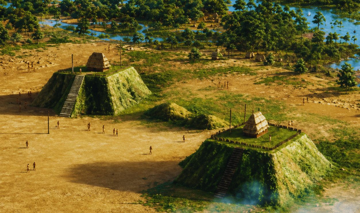 Unknown Author, Wikimedia Commons
Corn Changed Everything
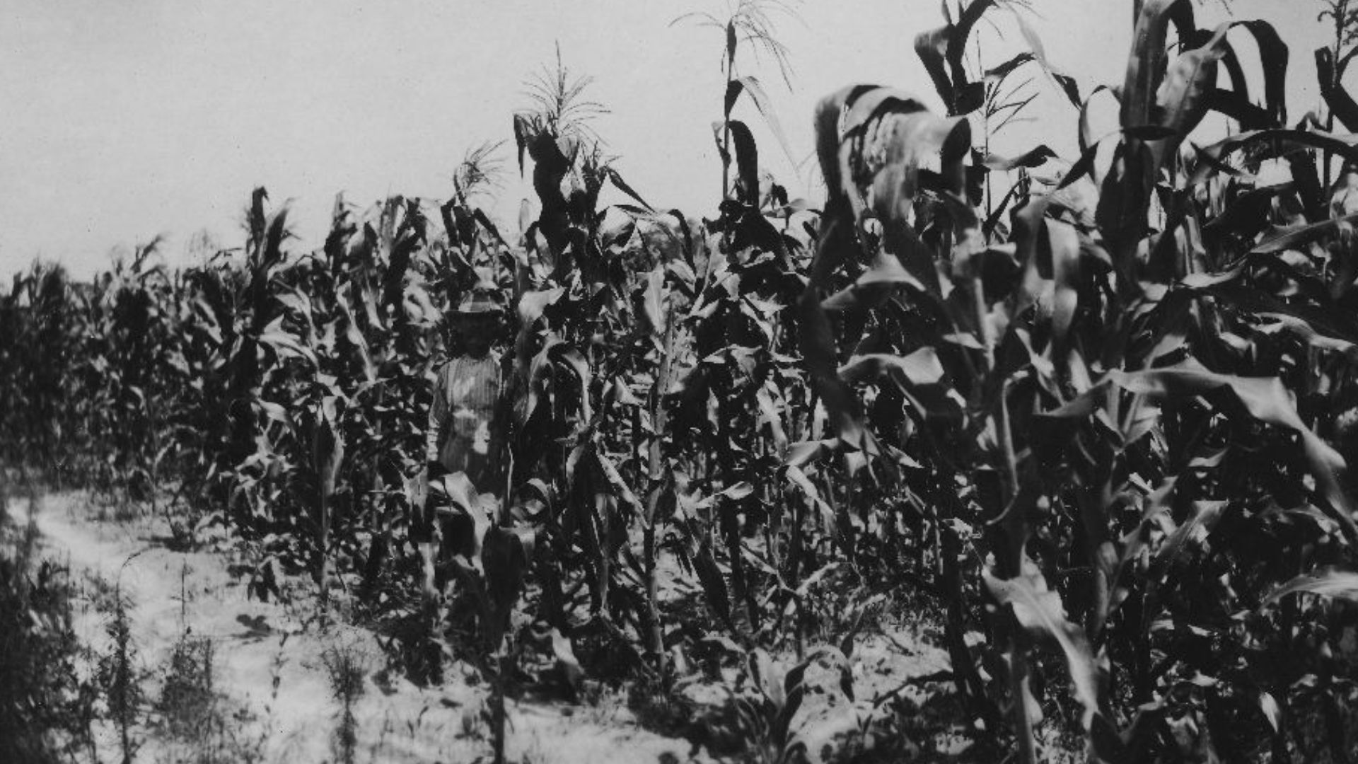
Mississippian towns were powered by agriculture, especially corn, beans, and squash. Farming supported larger populations and more permanent communities. When food production grew, people could build bigger settlements, organize labor, hold ceremonies, and support leaders, craftspeople, and long-distance connections.
 State Archives of North Carolina, Wikimedia Commons
Rivers Were Ancient Highways
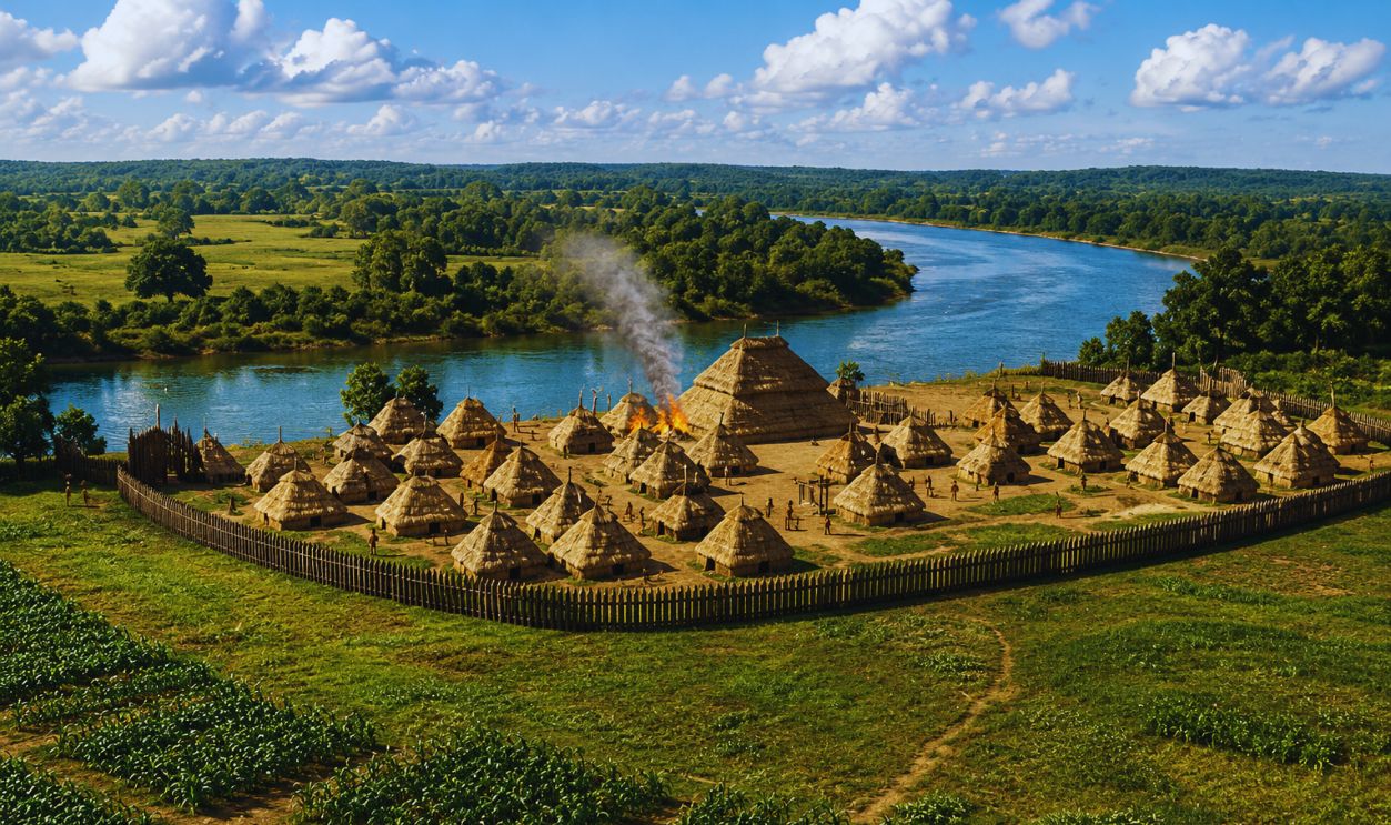
Georgia’s mound towns often sat near rivers, and that was no accident. Rivers provided food, fertile soil, travel routes, and trade connections. The Ocmulgee and Etowah rivers were not background scenery. They were transportation corridors, grocery stores, and lifelines.
Planning For Ceremony
Mississippian planning was deeply ceremonial. Mounds, plazas, and buildings were arranged to support rituals and public gatherings. The town itself became part of the ceremony. Visitors today may see grass and earth, but ancient residents saw sacred geography shaped by human hands.
Planning For Power
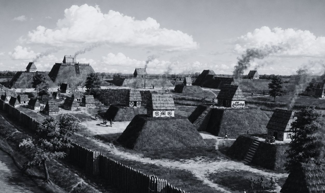
Urban design can show who matters, and Mississippian towns were no different. Elevated structures, central plazas, and restricted spaces likely reflected political and religious authority. The layout helped people understand where leaders gathered, where ceremonies happened, and where ordinary daily life unfolded.
Planning For Everyday Life
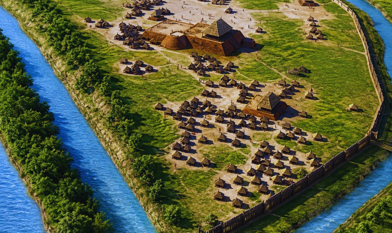
Behind the grand mounds were homes, food preparation areas, storage spaces, paths, and work zones. People cooked meals, repaired tools, raised children, played games, and visited neighbors. Ancient urban planning was not only impressive. It was practical, lived-in, and full of ordinary human noise.
The Artifacts Are Not Just Pretty
Some Mississippian artifacts are beautifully made, but their value goes beyond appearance. They help archaeologists understand status, belief, trade, technology, and household life. A decorated pot or copper object can reveal connections between art, politics, ceremony, and identity.
Why This Matters Today
These discoveries challenge the old idea that ancient North America was mostly small, simple villages. Georgia’s Mississippian sites show organized communities with complex planning. They remind us that cities can be built from earth and wood, not just stone and brick.
 user:RHorning, Wikimedia Commons
Visiting With Respect
Ocmulgee and Etowah are fascinating travel destinations, but they are also sacred and ancestral places. Many Native communities, including Muscogee people, maintain deep connections to these landscapes. Visitors should arrive with curiosity, humility, and respect for the people whose history is still present.
 Kåre Thor Olsen, Wikimedia Commons
What Travelers Can See
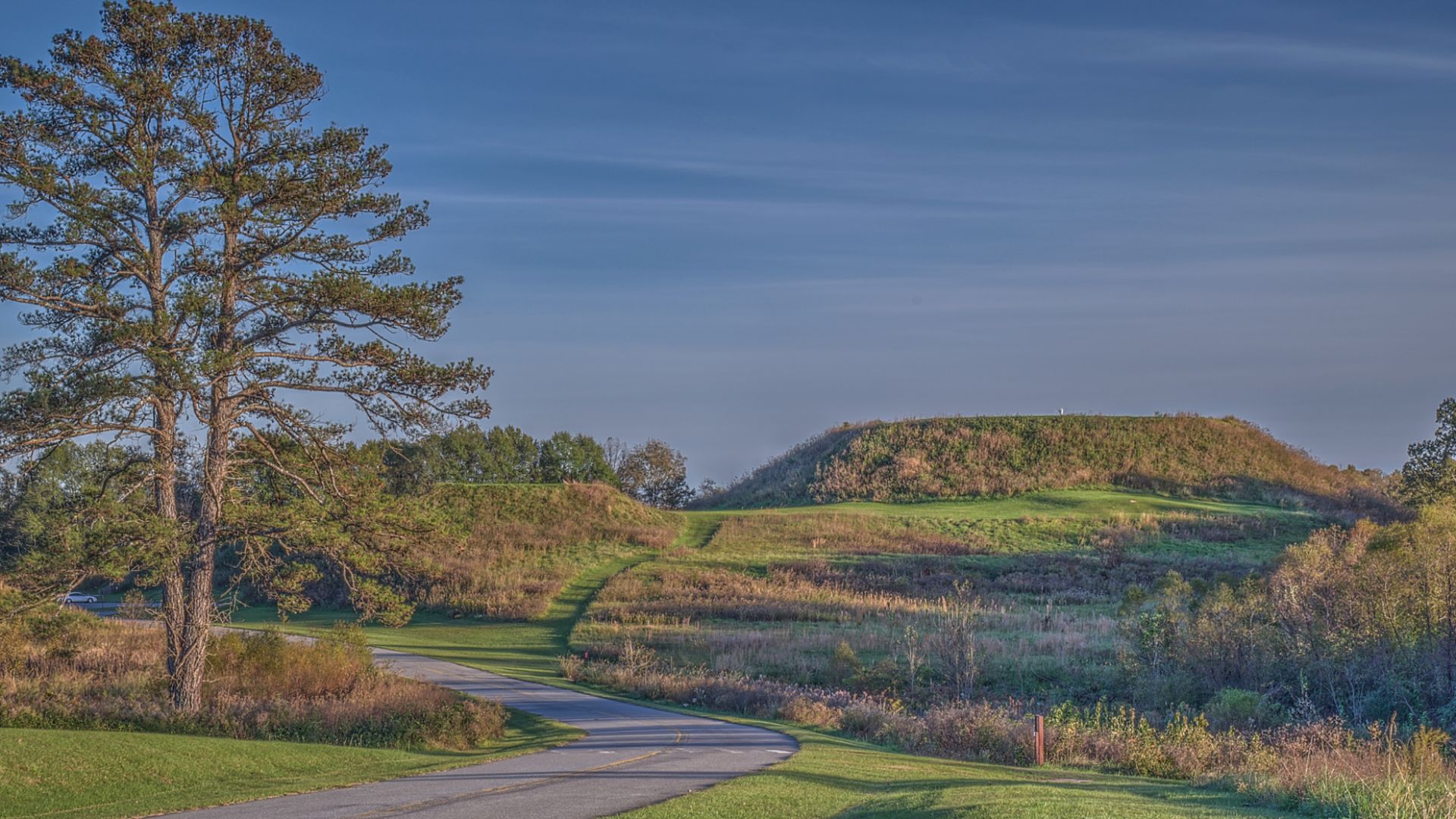
At Etowah, travelers can walk among the mounds, plaza, village area, defensive ditch, and river landscape. At Ocmulgee, trails lead visitors through a park filled with thousands of years of human history. These are outdoor museums where the ground itself is the exhibit.
The Best View Is From Above
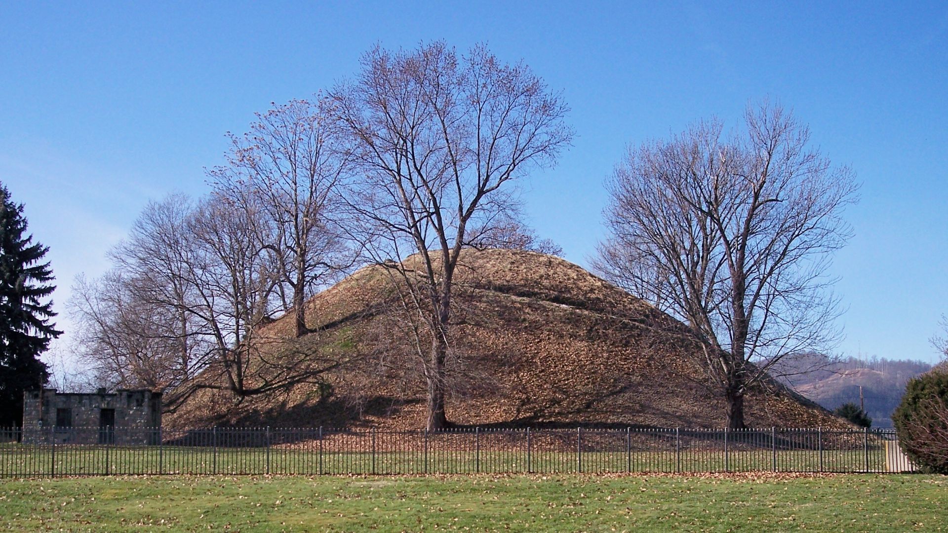
Climbing a mound, where allowed, changes everything. Suddenly the landscape opens up. You can see why height mattered, why rivers mattered, and why a plaza could organize a community. The view helps visitors feel the planning instead of just reading about it.
 Tim Kiser (Malepheasant), Wikimedia Commons
Ancient Georgia Feels Modern
The more archaeologists study these artifacts and town layouts, the more familiar the story becomes. People wanted security, meaning, food, connection, gathering places, and memorable public spaces. In that sense, Mississippian Georgia feels less distant than we might expect.
A Lost City Plan Reappears
The artifacts found in Georgia do more than decorate museum cases. They help reveal ancient North American towns planned with care, intelligence, and imagination. From Ocmulgee to Etowah, the message is clear: long before modern cities, Georgia already had urban stories written in earth.
You May Also Like:
What did Neanderthals sound like? Scientists think they've finally figured it out.