
The Road Ahead Is Beautiful, But The Fuel Gauge Is Terrifying
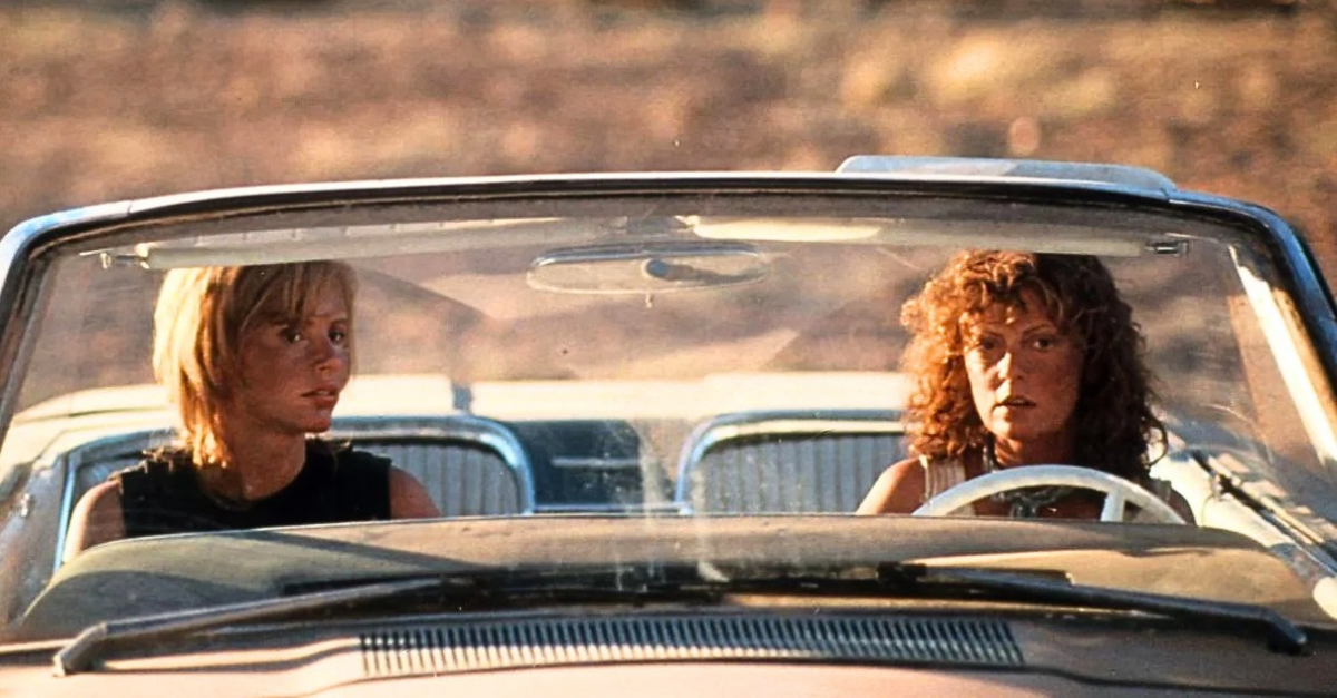
Out here, empty means trouble. Across some of North America's wildest landscapes, spectacular highways stretch toward the horizon with so few services that forgetting to fill your tank can turn an unforgettable road trip into a serious emergency.
 Metro-Goldwyn-Mayer / Getty Images
Alaska's Dalton Highway Is The Ultimate Test
The Dalton Highway stretches 414 miles from Livengood to Deadhorse, crossing some of Alaska's most remote terrain. Originally built to support the Trans-Alaska Pipeline, it remains a working highway dominated by commercial trucks. Alaska transportation officials recommend carrying extra fuel, food, water, spare tires, and emergency equipment before attempting the journey.
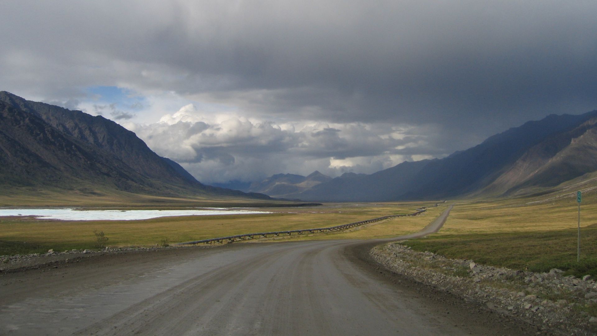 Photo by Micah Bochart, Wikimedia Commons
Coldfoot Is A Stop You Cannot Afford To Miss
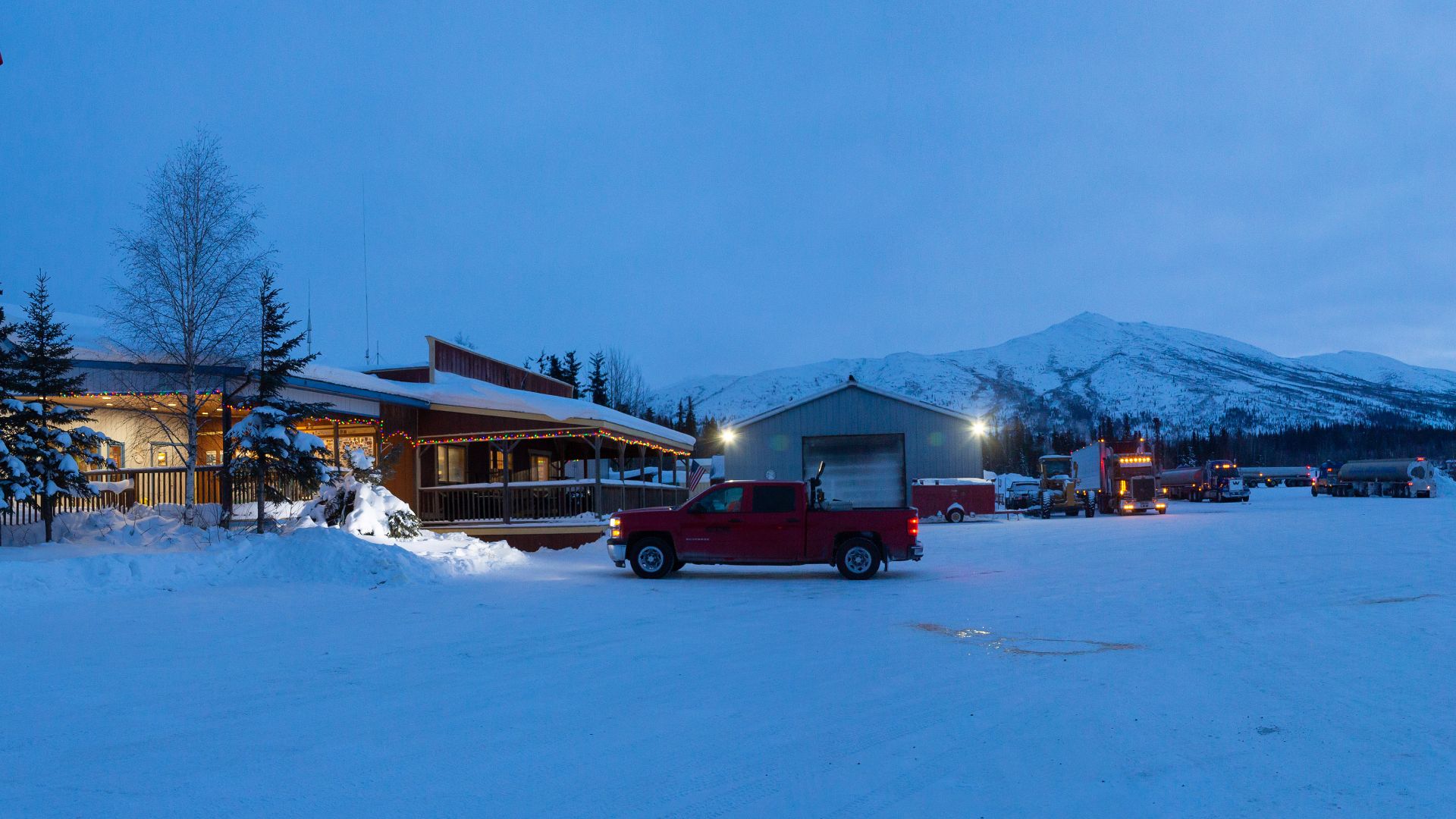
Coldfoot, around mile 175 of the Dalton Highway, is an important service stop for travelers heading north. Beyond it, the road climbs toward the Brooks Range and continues across increasingly isolated country toward Deadhorse. Fuel planning is especially important here because a long stretch of wilderness separates the highway's scattered service communities.
Atigun Pass Is Where The Adventure Gets Serious
Atigun Pass carries the Dalton Highway over the Brooks Range at an elevation exceeding 4,800 feet. Drivers face steep grades, unpredictable weather, and heavy truck traffic while crossing this dramatic mountain landscape. Alaska's transportation department warns that avalanches and severe snowstorms can close the highway and strand travelers for days.
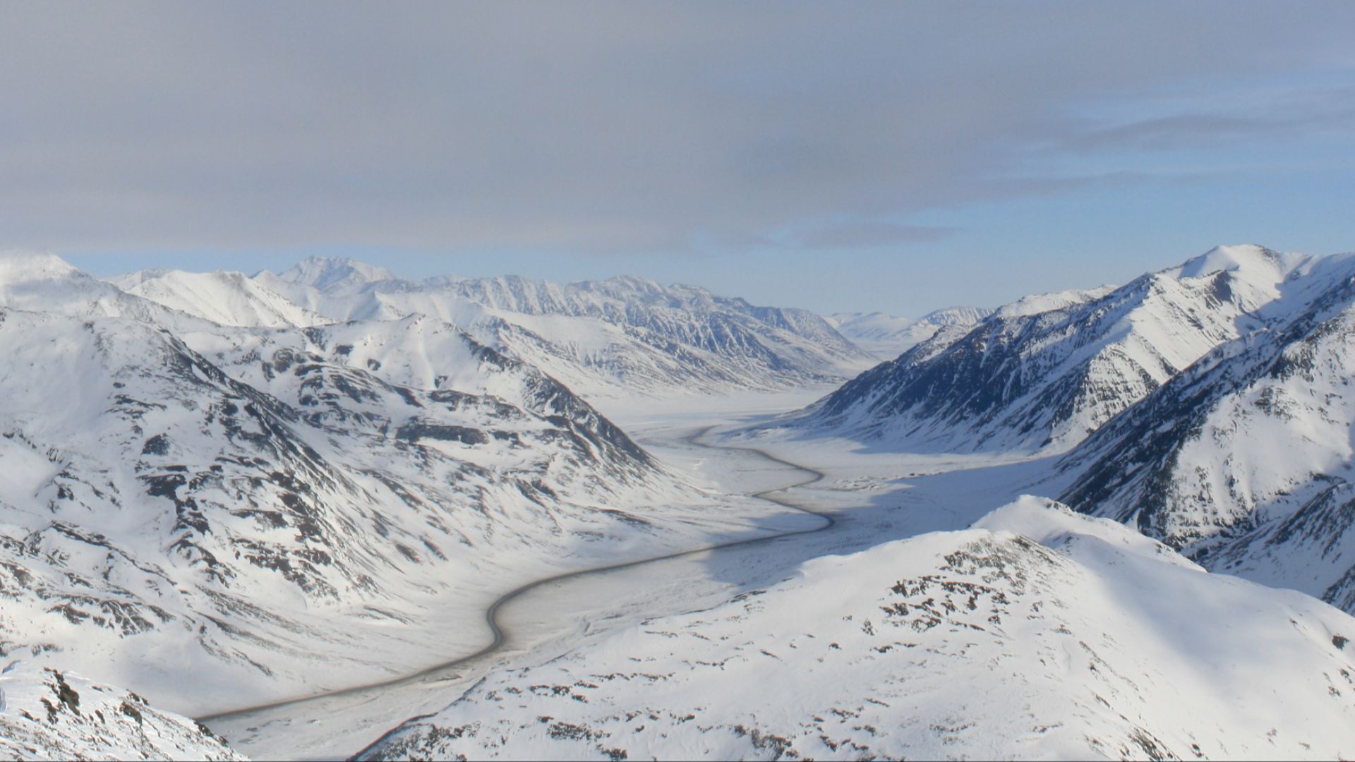 AHeneen, derived from work by User:Somebaldguy, Wikimedia Commons
The Arctic Coast Is Still A Long Way Away
After descending from the Brooks Range, Dalton Highway travelers enter the Arctic foothills and eventually the coastal plain. The final approach to Deadhorse passes through an enormous landscape where settlements and roadside services remain scarce. Drivers should check the Alaska 511 system before leaving Coldfoot rather than assuming conditions will remain unchanged throughout the trip.
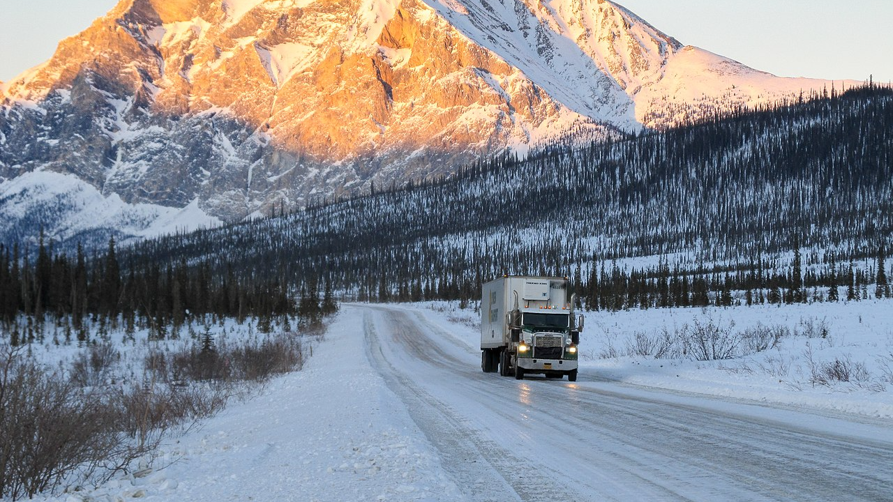 Karen Deatherage, CC BY 2.0, Wikimedia Commons
The Denali Highway Offers 135 Miles Of Isolation
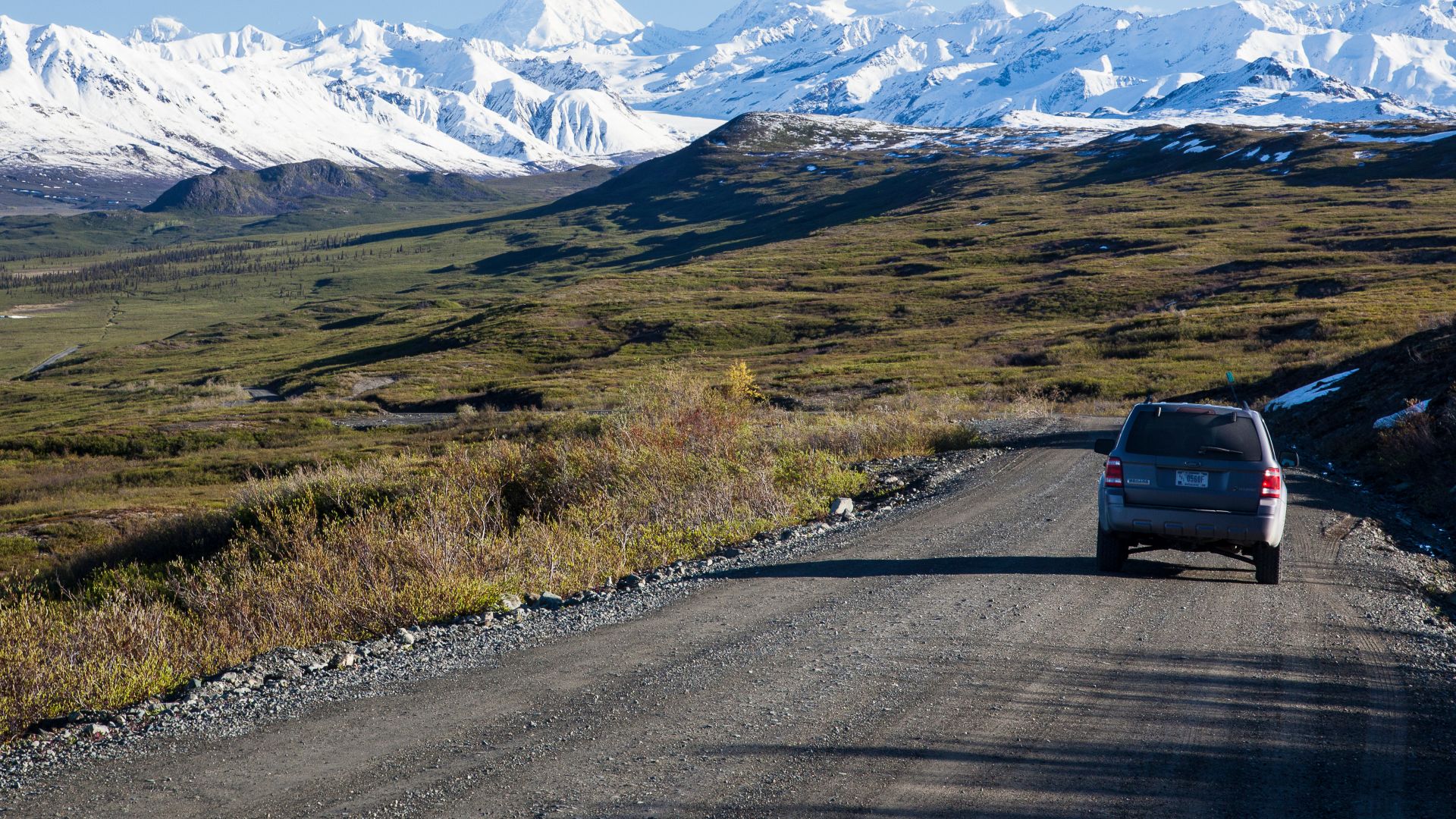
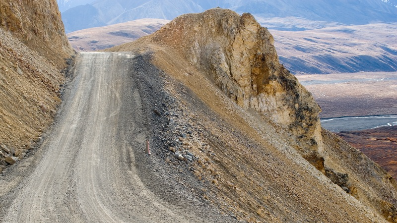
Alaska's Denali Highway connects Paxson and Cantwell across 135 miles of mountainous backcountry. Much of the road is gravel, and Alaska's transportation department warns that services and cellular coverage are limited. There are a handful of lodges along the route, but travelers should not assume that fuel is available whenever they need it.
Even Summer Doesn't Make Denali Highway Easy
The Denali Highway offers views of the Alaska Range, glacial valleys, tundra, and wildlife habitat. Its rough sections, soft road surfaces, and limited roadside assistance can challenge vehicles that perform perfectly well on ordinary highways. Alaska officials advise checking rental-car restrictions because many companies do not permit their vehicles on this route.
 D. Sikes, CC BY-SA 2.0, Wikimedia Commons
The Taylor Highway Follows Alaska's Gold Rush Past
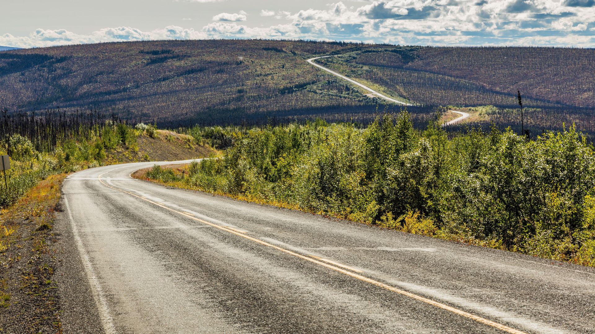
The Taylor Highway runs approximately 160 miles from Tetlin Junction to Eagle, passing through historic mining country. Its first section is paved, but much of the remaining route is gravel, and cellular reception is unreliable. The Alaska Department of Transportation specifically warns of limited gas stations and services, making this another journey where preparation matters more than spontaneity.
 Diego Delso, Wikimedia Commons
Chicken Is More Than A Funny Place Name
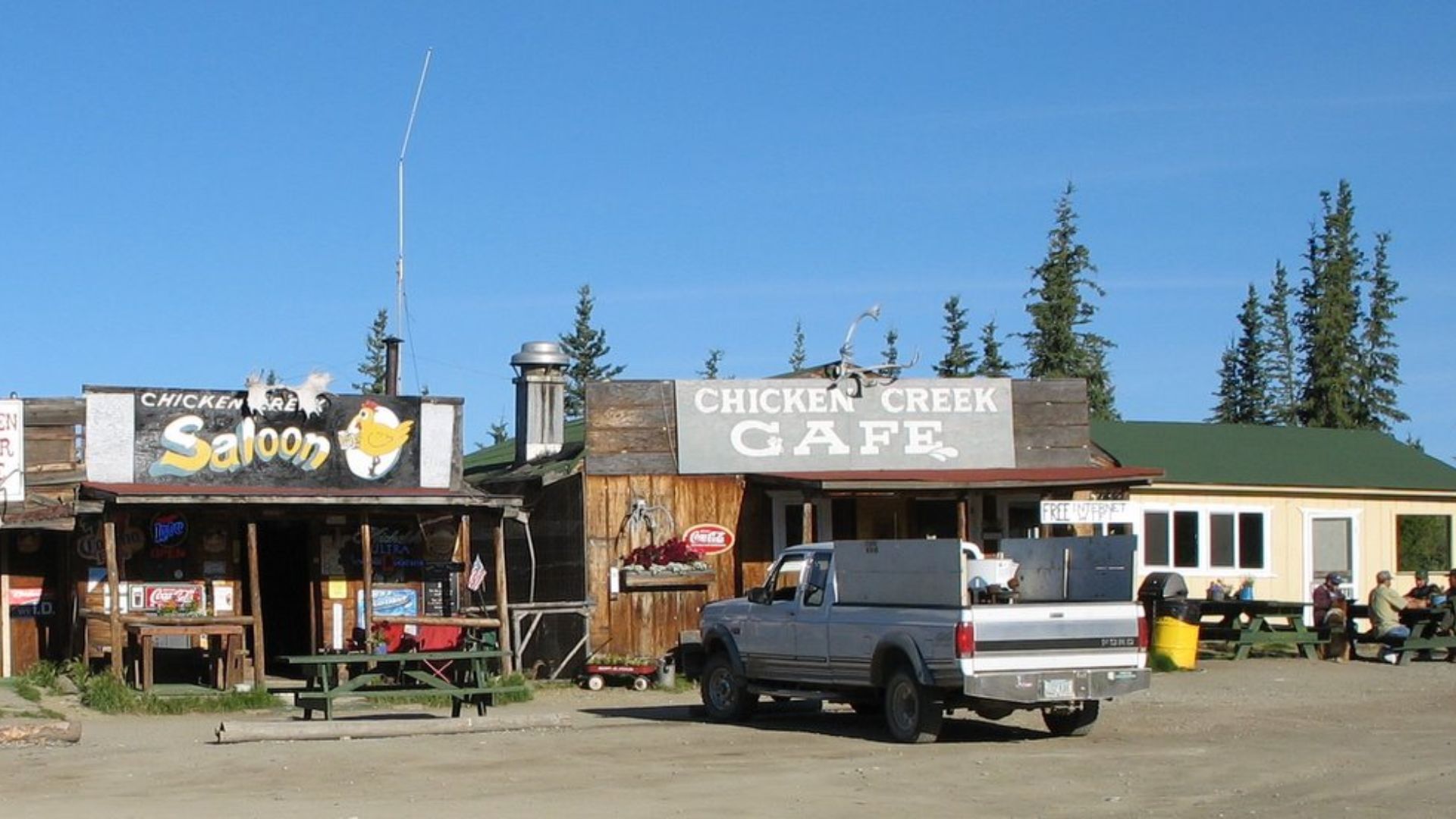
The small community of Chicken is one of the memorable stops along the Taylor Highway. Beyond its gold-mining history, the settlement marks a rare concentration of visitor activity along an otherwise remote road. Travelers continuing toward Eagle or the Top of the World Highway should confirm fuel availability before leaving established services behind.
 Bryanhiggs at en.wikipedia, Wikimedia Commons
The Top Of The World Highway Lives Up To Its Name
The Top of the World Highway connects the Taylor Highway area with Dawson City in Canada's Yukon Territory. It crosses high, open country where expansive views come with steep grades and long distances between services. Alaska transportation officials warn that the route is mostly gravel and receives no winter maintenance, so it is best approached as a carefully planned seasonal drive.
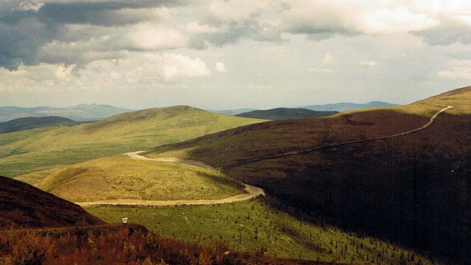
The McCarthy Road Has No Gas Stations At All
Alaska's McCarthy Road stretches 60 miles from Chitina toward the historic Kennecott mining area. The state transportation department explicitly states that there are no gas stations or services along the road. That means a round trip can involve roughly 120 miles of remote driving without an opportunity to refuel, making a full tank before departure essential.
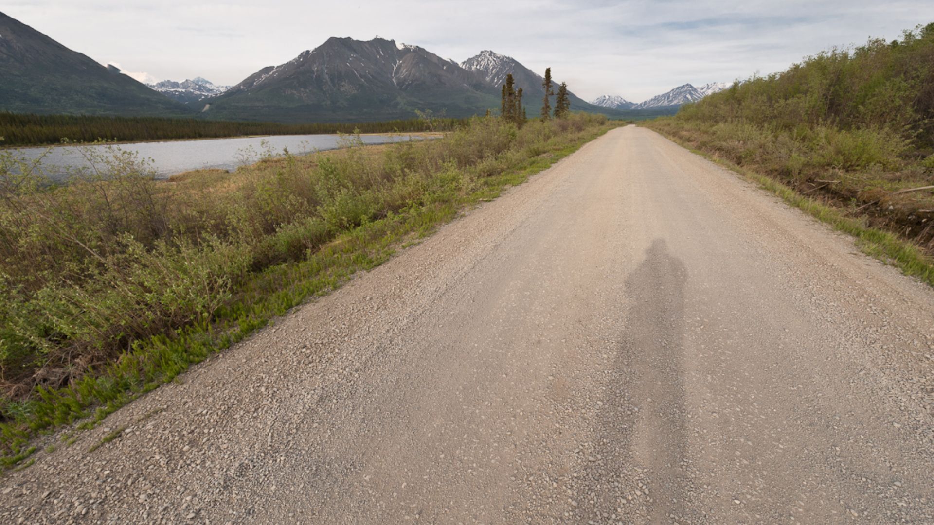
Old Railroad Tracks Created A Rugged Adventure
McCarthy Road follows the former Copper River and Northwestern Railway, which once transported copper from the Kennecott mines. Today, drivers encounter gravel, potholes, historic bridges, and occasional remnants of the railway's past. Alaska officials recommend allowing at least two and a half hours for the 60-mile drive in normal summer conditions, so this is no place to rush.
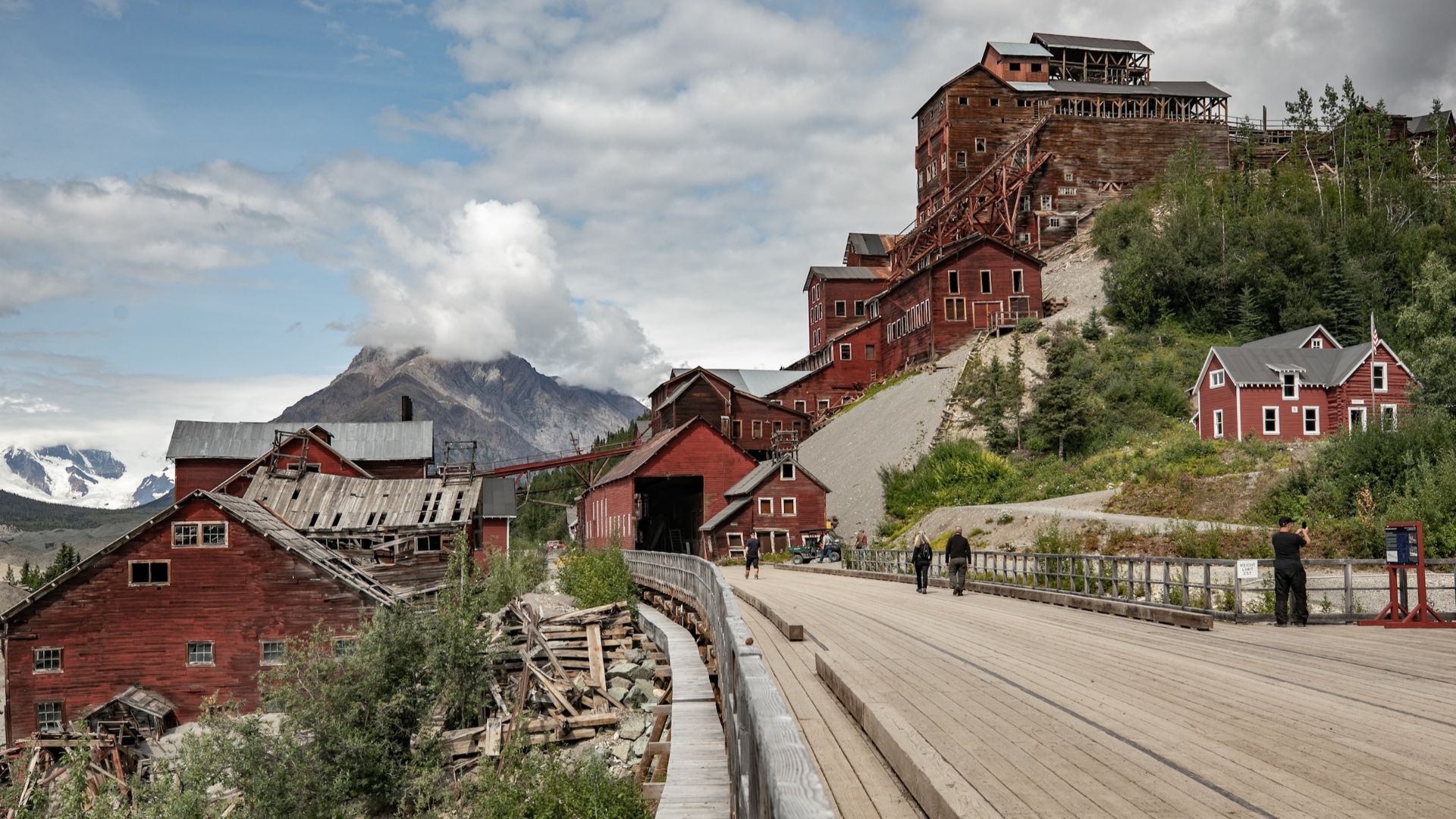
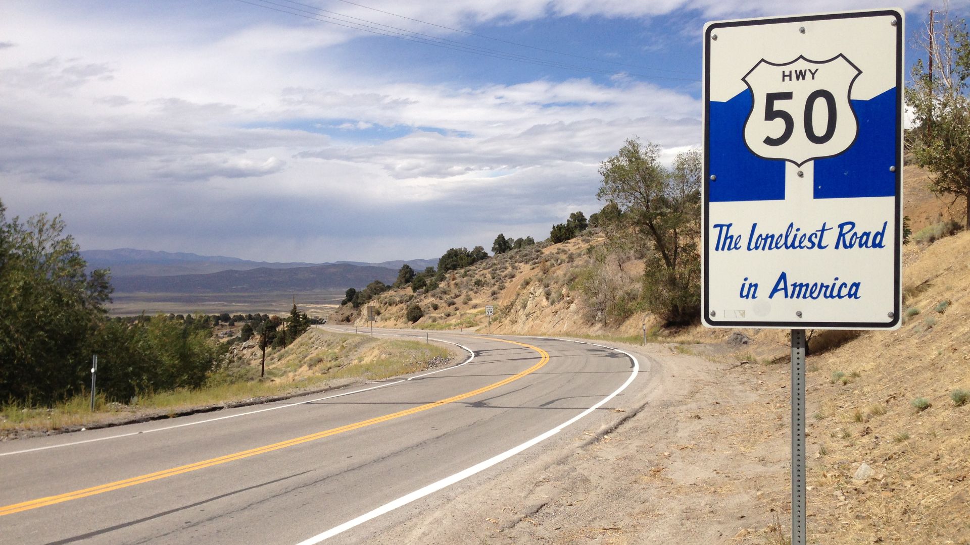
Nevada's Loneliest Road Earned Its Reputation
U.S. Highway 50 across Nevada became famous after Life magazine described it as America's loneliest road in 1986. The highway passes through mountain ranges, broad valleys, and historic mining communities separated by substantial distances. Modern travelers can find fuel and accommodations in established towns, but they should never assume a service station exists between those communities.
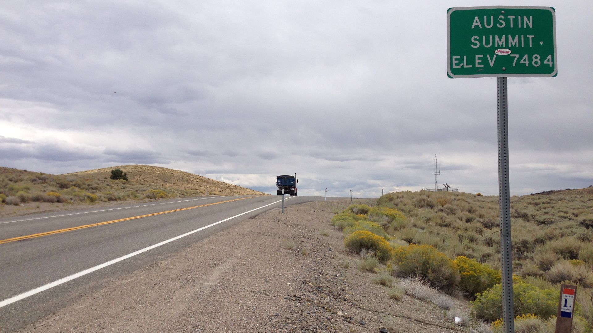
Austin To Eureka Feels Like Another Planet
The stretch of Highway 50 between Austin and Eureka crosses an immense landscape of sagebrush valleys and distant mountains. Travel Nevada describes the direct drive between these towns as a relatively short journey, but the surrounding attractions can turn it into a much longer excursion. Drivers planning detours toward hot springs or historic sites should refuel in town before venturing away from the main highway.
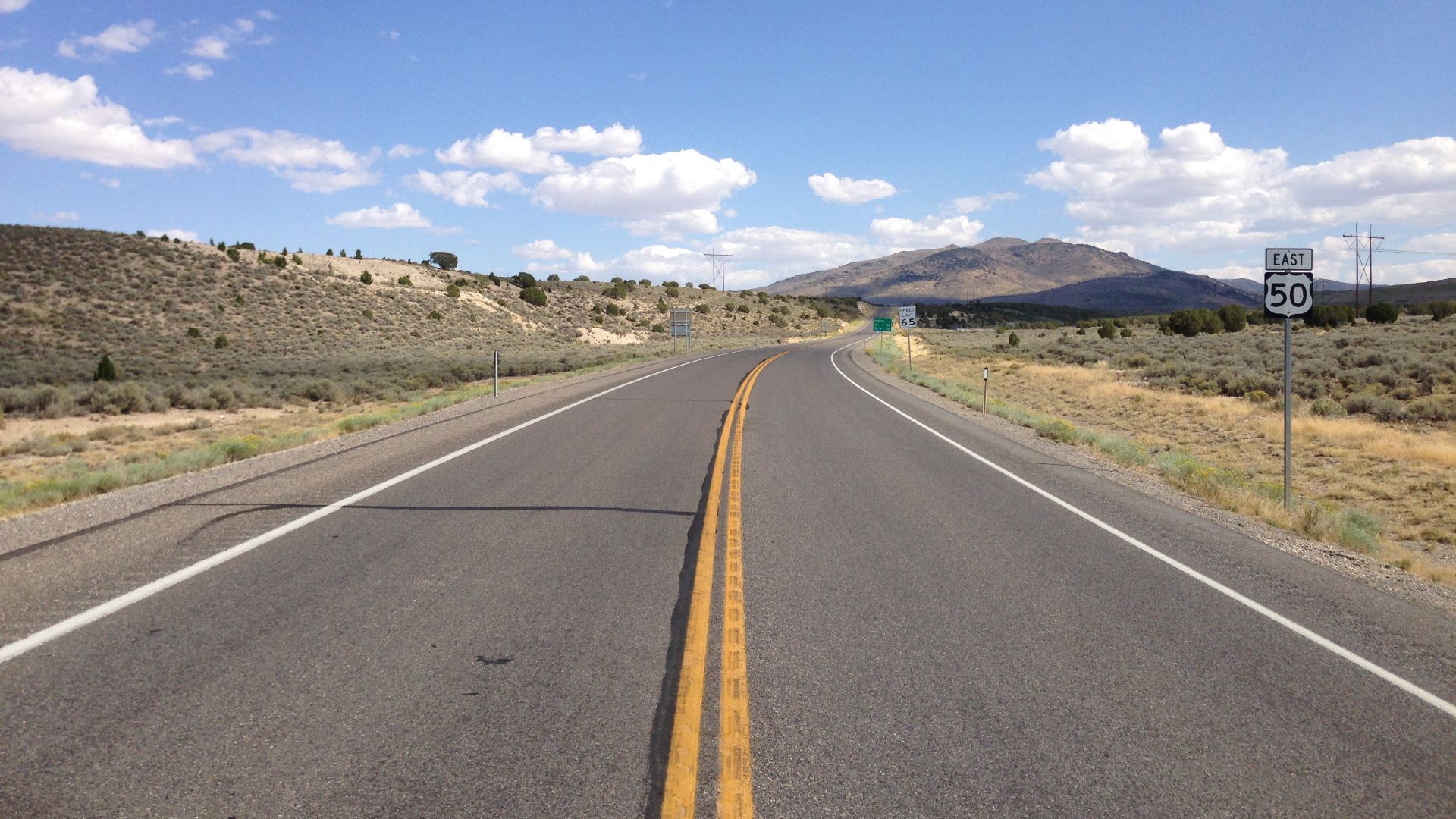
Eureka To Ely Keeps The Wilderness Coming
Continuing east, Highway 50 runs approximately 80 miles between Eureka and Ely. The scenery includes broad valleys, mountain passes, and access to outdoor attractions such as Ward Charcoal Ovens State Historic Park. Although both towns offer services, drivers should plan the crossing without depending on finding another convenient gas station halfway through.
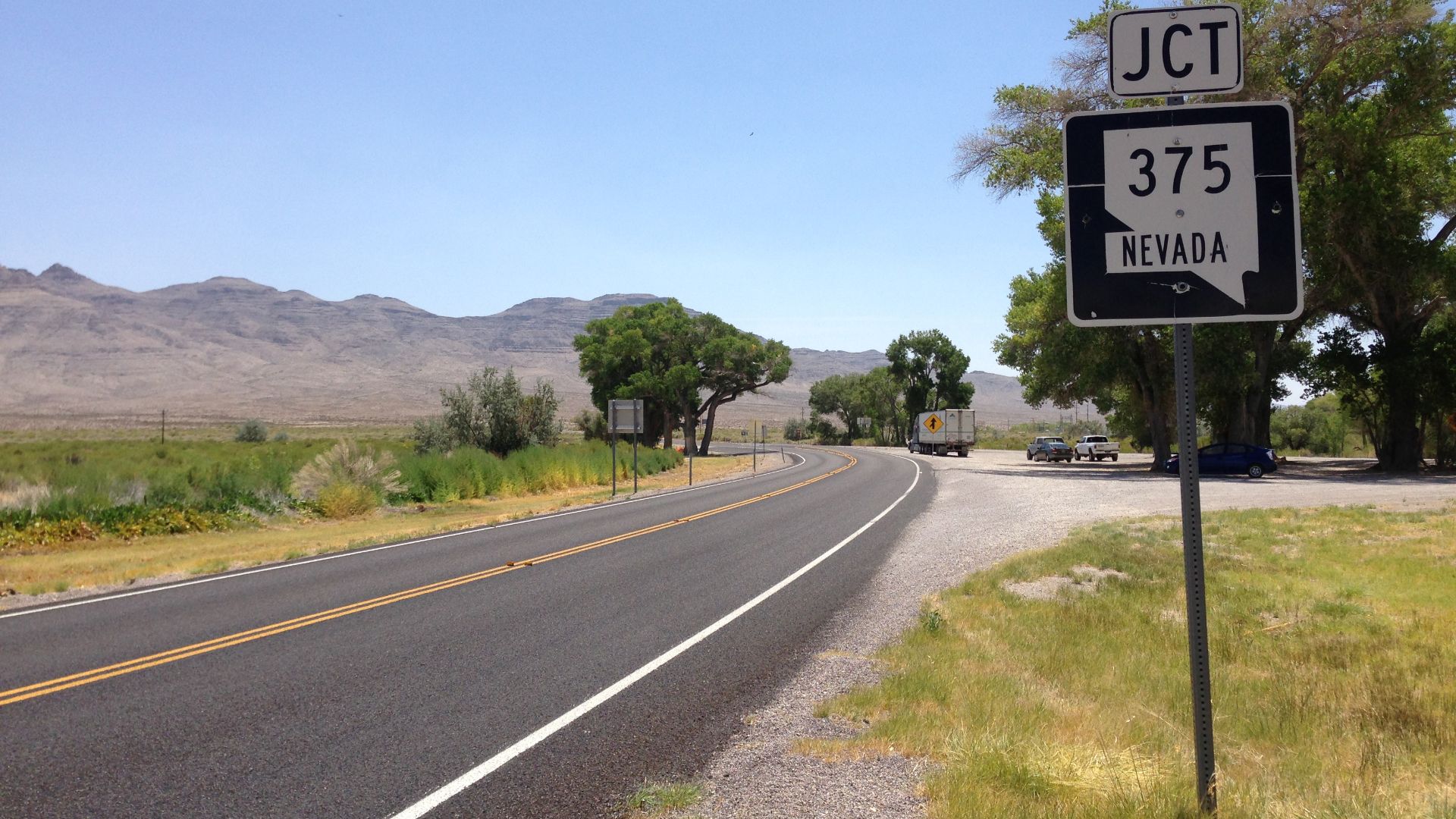
Nevada's Extraterrestrial Highway Has A Surprise
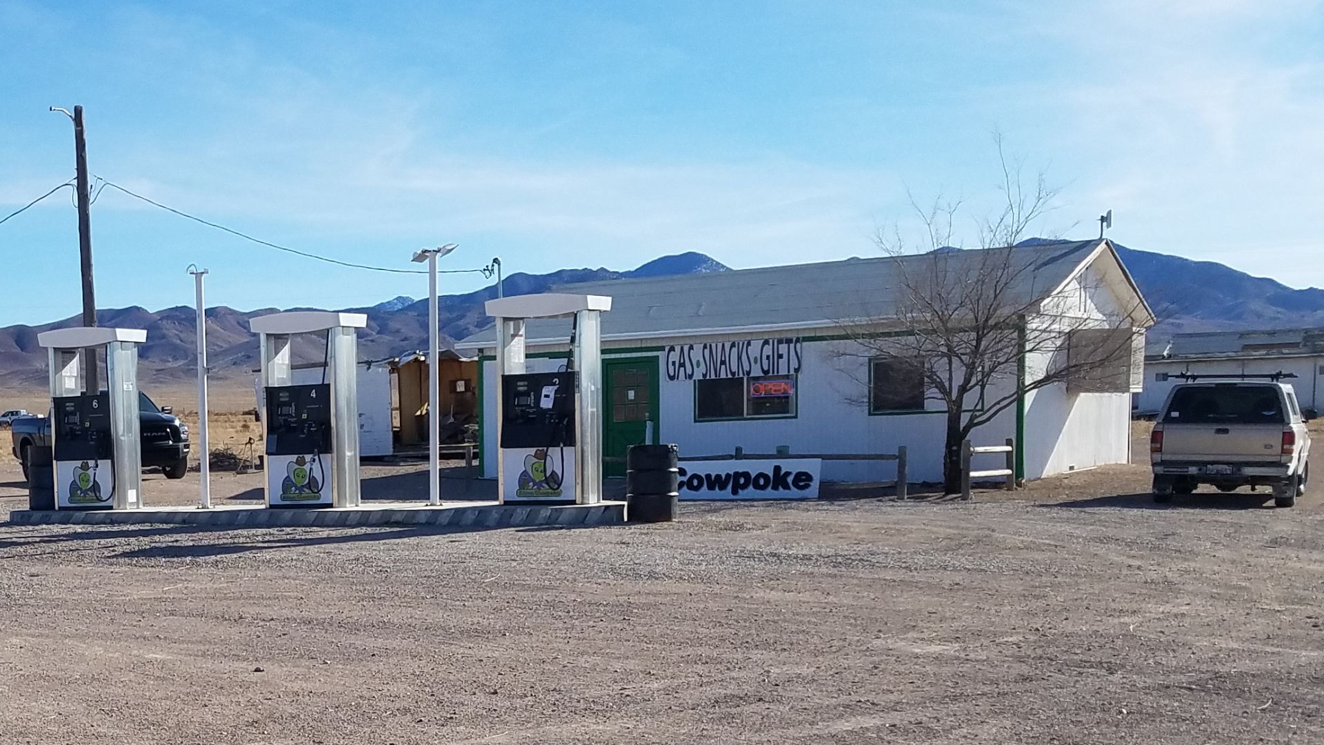
Nevada State Route 375 is famous for its association with Area 51, unusual roadside attractions, and vast desert scenery. The tiny community of Rachel now has the Alien Cowpoke Gasoline & General Store, which Travel Nevada identifies as a fuel stop. That is an important update because older accounts sometimes describe the entire area as lacking gasoline, a claim travelers should no longer repeat without checking.
Rachel Is A Fuel Stop With Limited Hours
The Alien Cowpoke in Rachel is listed by Travel Nevada as operating daily from 8 a.m. to 5 p.m. Visitors can buy gasoline, snacks, and supplies while exploring the Extraterrestrial Highway. The limited hours matter because arriving late could leave travelers unable to refuel, even though a station exists on the route.
 Mikeginther, Wikimedia Commons
Oregon's Steens Mountain Loop Demands Preparation
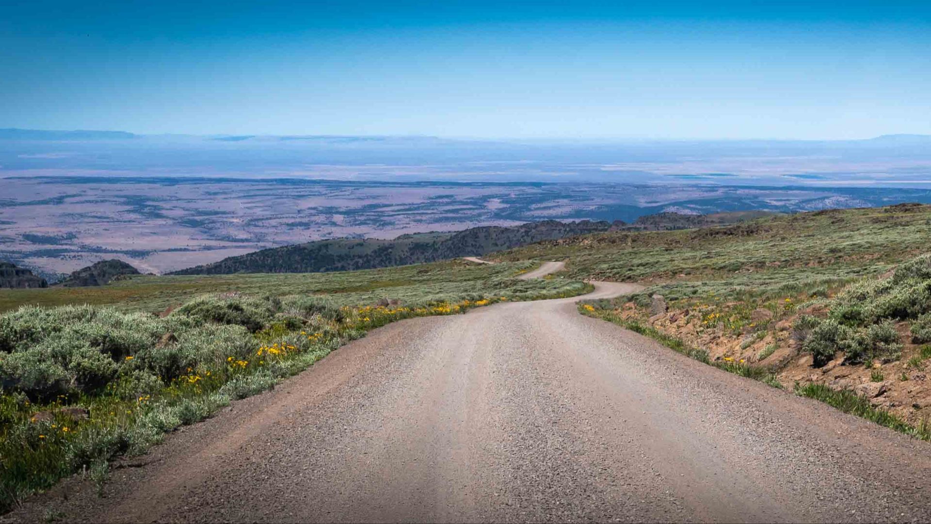
Steens Mountain in southeastern Oregon offers a spectacular backcountry driving experience, with deep gorges and high-elevation viewpoints. The Bureau of Land Management warns that fuel stations, telephones, and cellular reception can be separated by long distances. Visitors are advised to begin with a full tank and confirm whether fuel is available in nearby communities such as Frenchglen, Fields, Crane, or the Narrows.
 BLM Oregon & Washington, Wikimedia Commons
The Mountain Can Change Seasons In Hours
Steens Mountain Loop Road climbs from lower desert country toward elevations exceeding 9,000 feet. The Bureau of Land Management warns that sudden snow, storms, and strong winds can occur even when surrounding valleys feel warm. Some primitive sections require high-clearance or four-wheel-drive vehicles, making this an adventure where vehicle choice matters as much as fuel range.
Canada's Dempster Highway Crosses A Vast Wilderness
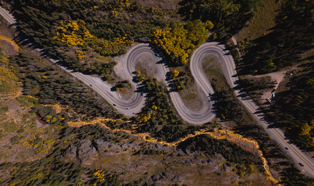
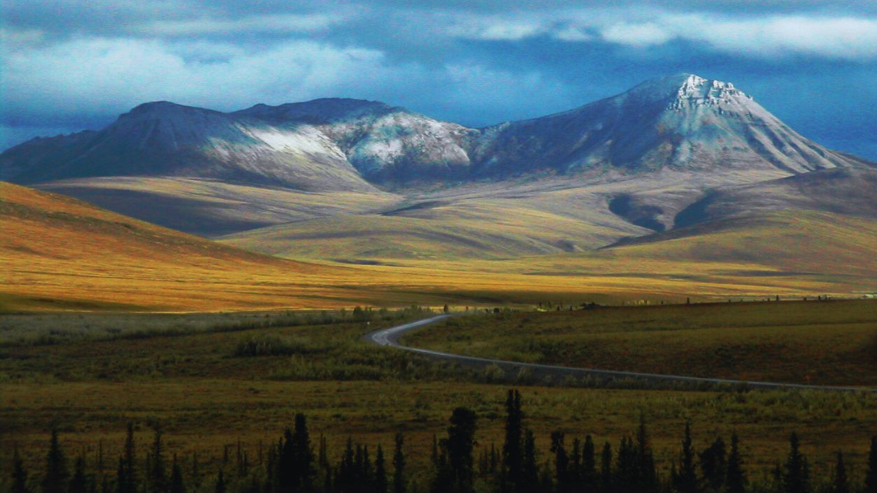
The Dempster Highway begins near Dawson City in Yukon and travels north through remote landscapes toward the Northwest Territories. Parks Canada identifies Eagle Plains at kilometer 369 as an important place to refuel and rest. With long stretches of gravel road and relatively few services, this journey rewards travelers who plan their stops before departure.
Eagle Plains Is A Lifeline In The Yukon
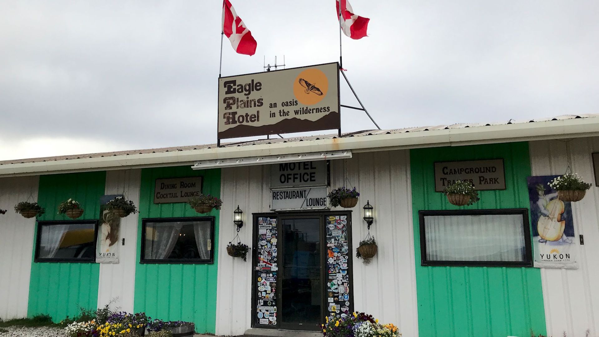
Eagle Plains provides fuel, accommodation, food, and camping facilities along the Dempster Highway. Parks Canada specifically recommends filling up there because gasoline stations are widely separated along the route. From this isolated stop, travelers continue toward the Arctic Circle and the northern communities of the Northwest Territories.
 dvs from Vermont, USA, Wikimedia Commons
The Drive To Inuvik Takes Planning
Parks Canada's road-trip itinerary places Inuvik roughly 370 kilometers, or 230 miles, beyond Eagle Plains along the planned route. The journey passes the Arctic Circle and communities including Fort McPherson and Tsiigehtchic, where services may be available. Drivers should not interpret the entire distance as a verified fuel-free stretch, but they should confirm station hours, ferry operations, and fuel availability before setting off.
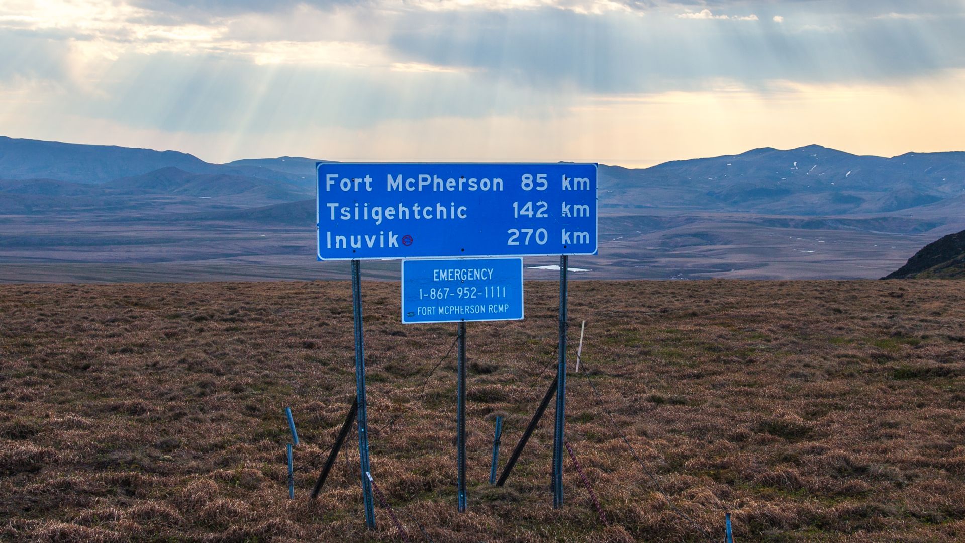 Murray Foubister, Wikimedia Commons
The Trans-Labrador Highway Is Another Northern Challenge
The Trans-Labrador Highway crosses a vast region of eastern Canada where communities are separated by substantial distances. Parks Canada describes the drive between Labrador City and Happy Valley-Goose Bay as approximately 530 kilometers, or 329 miles. That distance is not a verified uninterrupted gap between gas stations, but the region's isolation makes careful fuel and emergency planning essential.
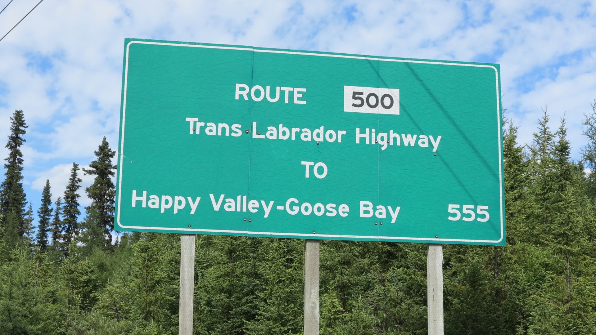
Death Valley Makes Every Fuel Stop Important
Death Valley National Park has only three gas stations within its boundaries, located at Furnace Creek, Stovepipe Wells, and Panamint Springs. The National Park Service warns that cellular coverage is absent along most park roads and that assistance may be hours away. With extreme temperatures and enormous distances between attractions, travelers should refuel whenever practical rather than waiting until the gauge is nearly empty.
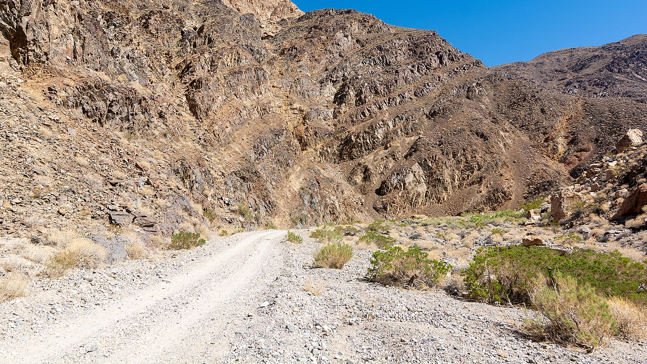 RuggyBearLA, CC BY 2.0, Wikimedia Commons
The Last Gas Station Could Already Be Closed
The National Park Service currently lists Panamint Springs gasoline availability from 7 a.m. until 9:30 p.m., while fuel at Furnace Creek and Stovepipe Wells is available around the clock. That difference matters to anyone arriving after dark from a long desert drive. Before exploring Death Valley's more remote roads, check current road closures, station hours, and your vehicle's remaining range.
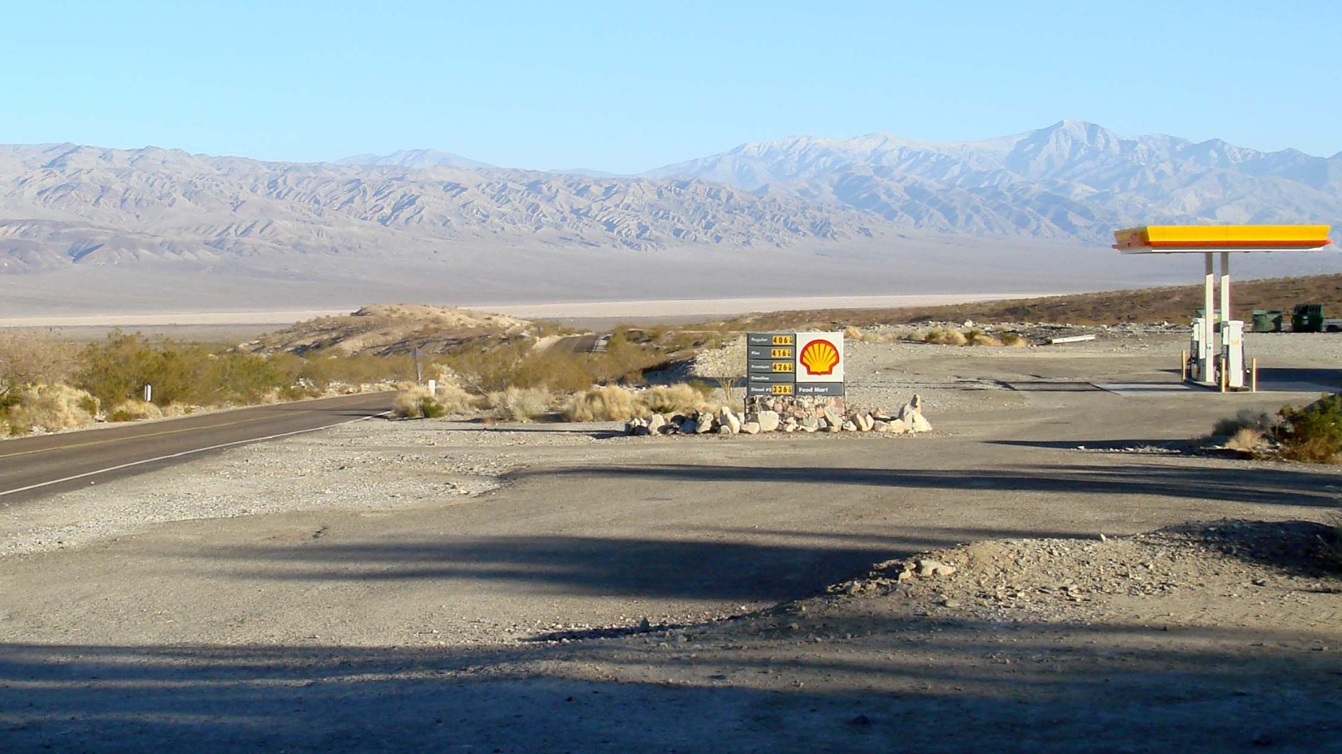 Bobak Ha'Eri, Wikimedia Commons
The Smartest Road Trip Begins Before You Leave
Remote highways are rewarding precisely because they take travelers far beyond the usual network of towns and roadside services. The Bureau of Land Management recommends carrying reliable maps, enough fuel for the return journey, and a plan that someone at home knows about. Check your tires, bring emergency supplies, and never count on cell reception to rescue an otherwise avoidable mistake.

You May Also Like:
Vacation Habits That Made Sense 20 Years Ago But Waste Money Today
America’s Most Dangerous Tourist Destinations