
Looking In The Wrong Place?
Most of us picture the search for Atlantis happening somewhere at the bottom of the ocean. But one theory sends the search somewhere very different: the Sahara Desert. There, an enormous formation has people wondering whether the lost civilization has been sitting in plain sight all along.
An Eye In The Desert
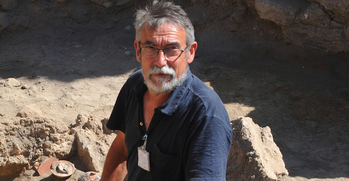
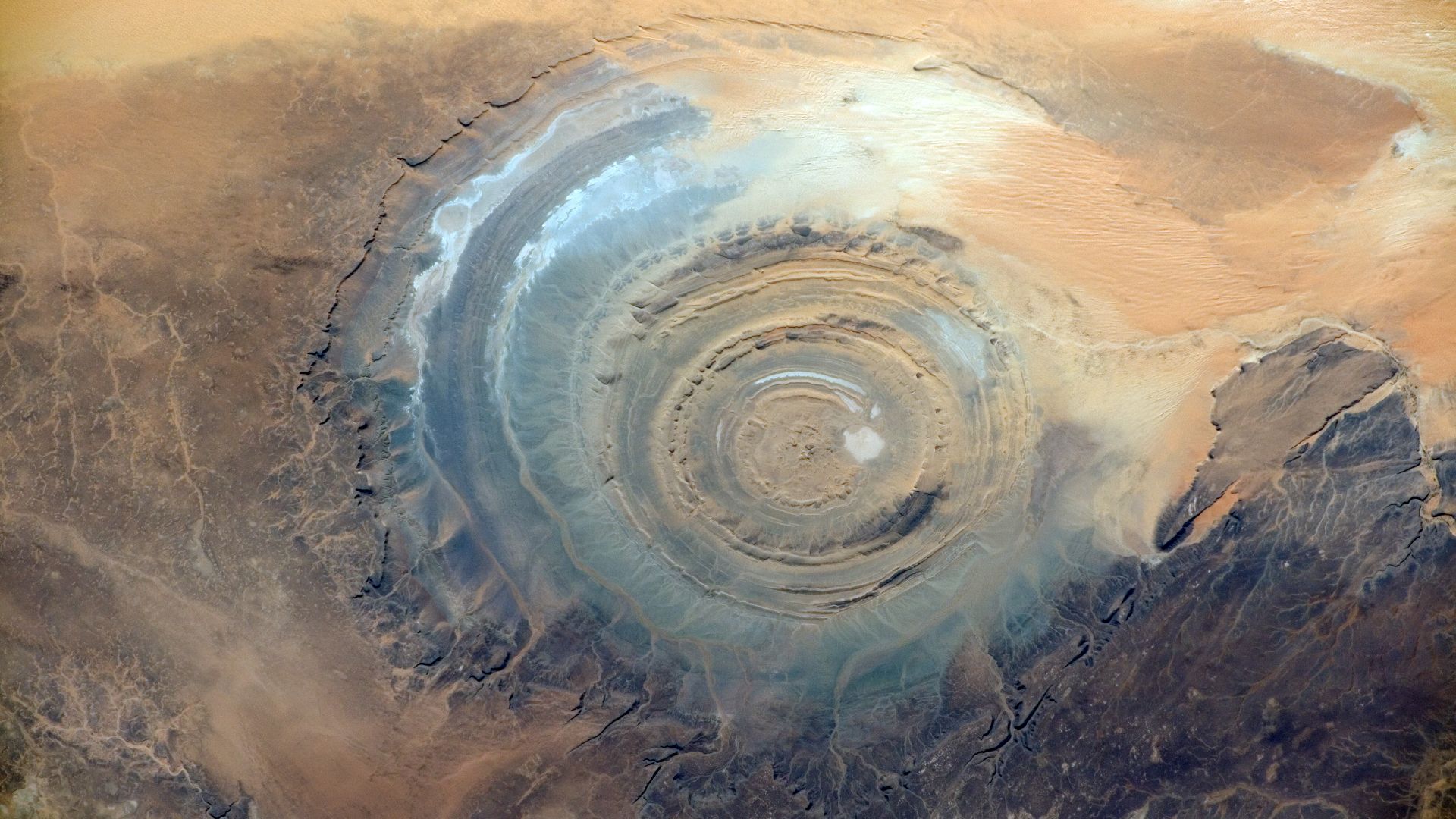
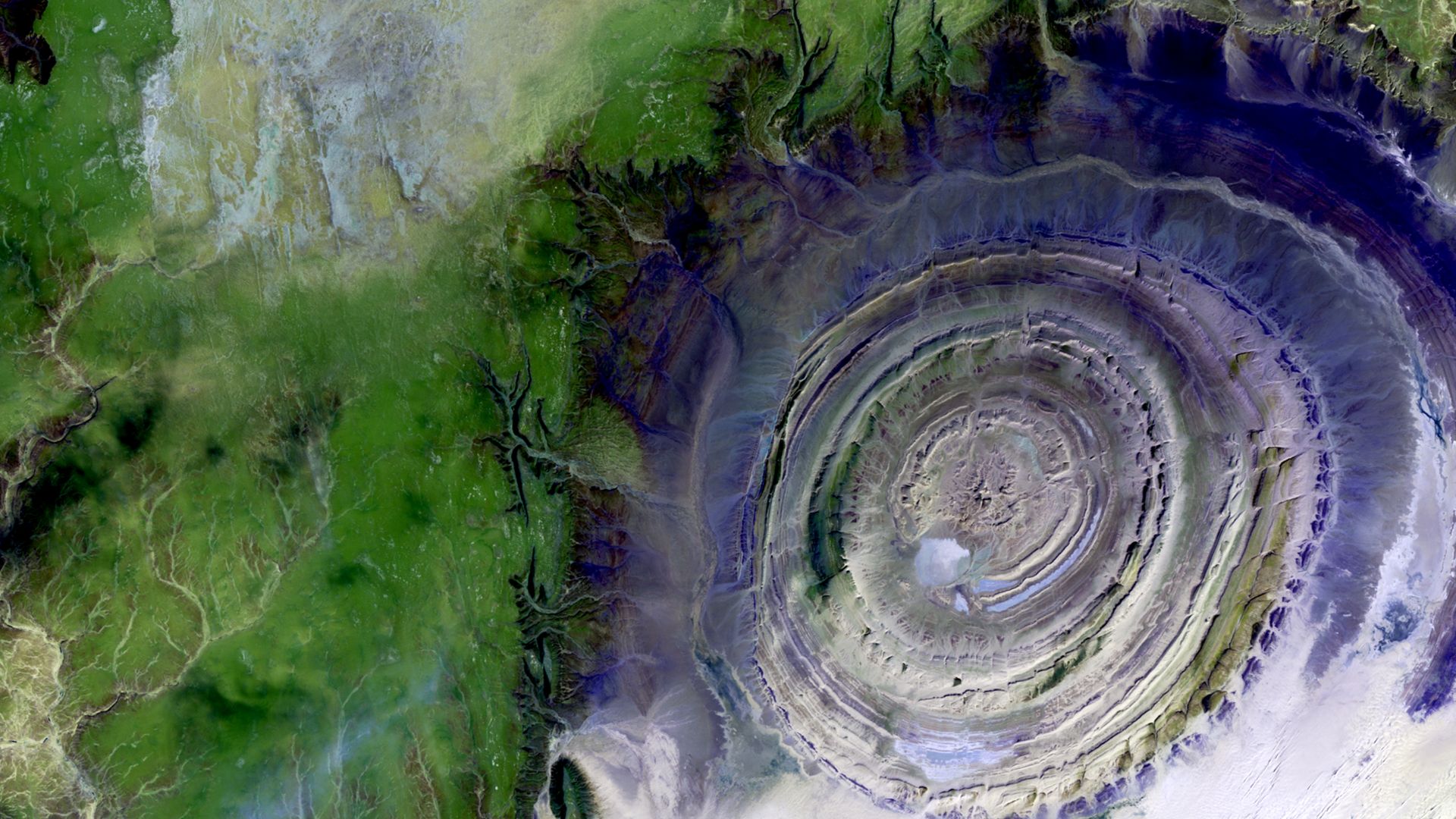
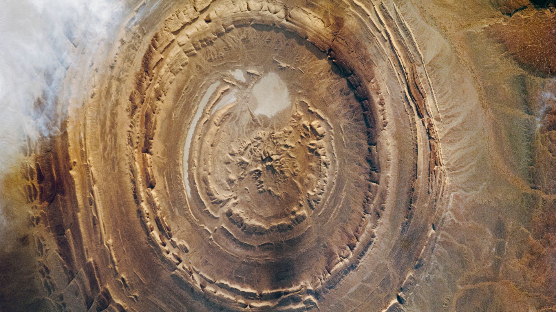
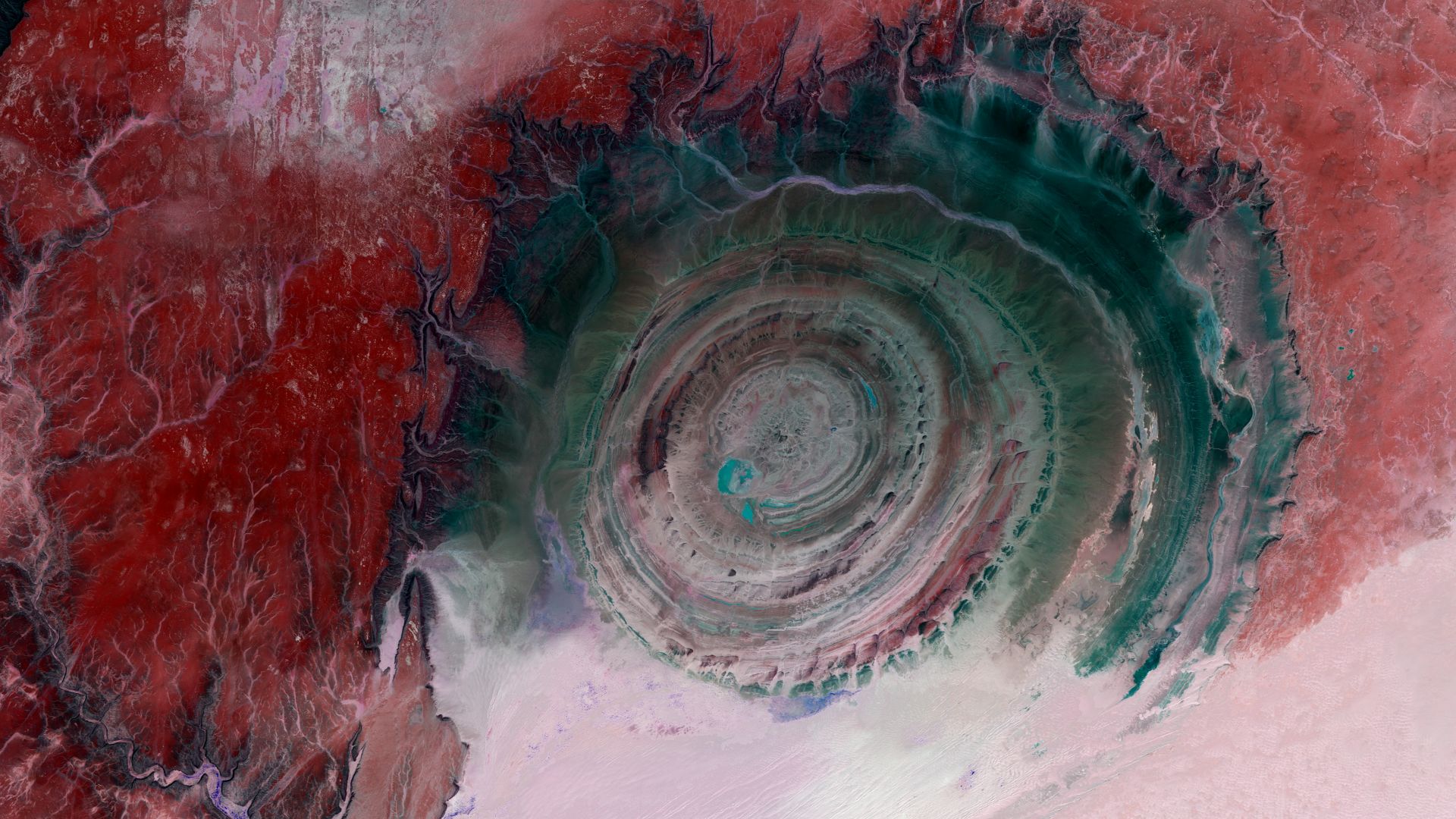
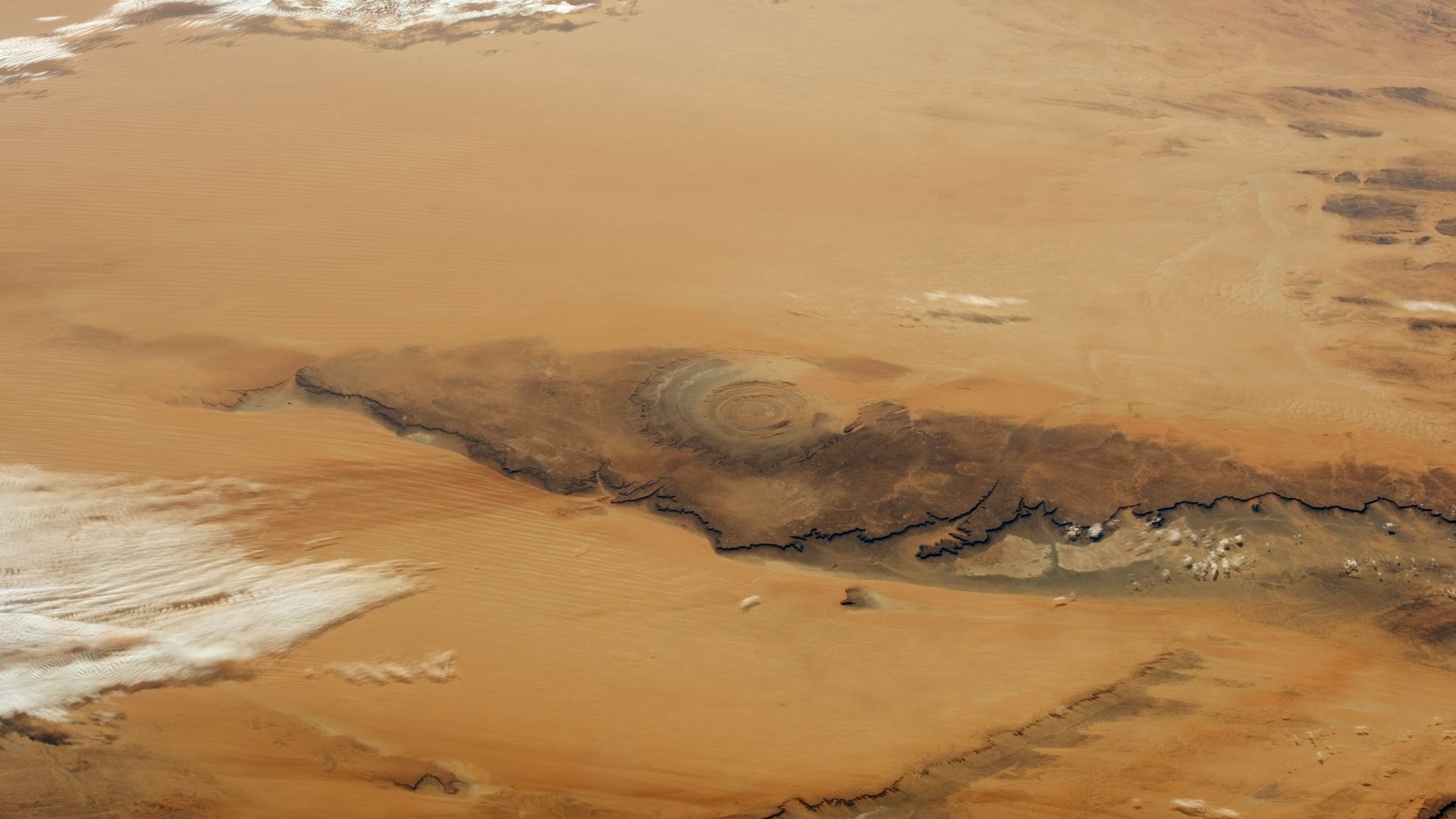
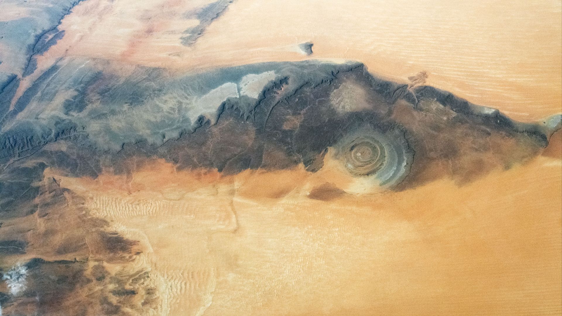
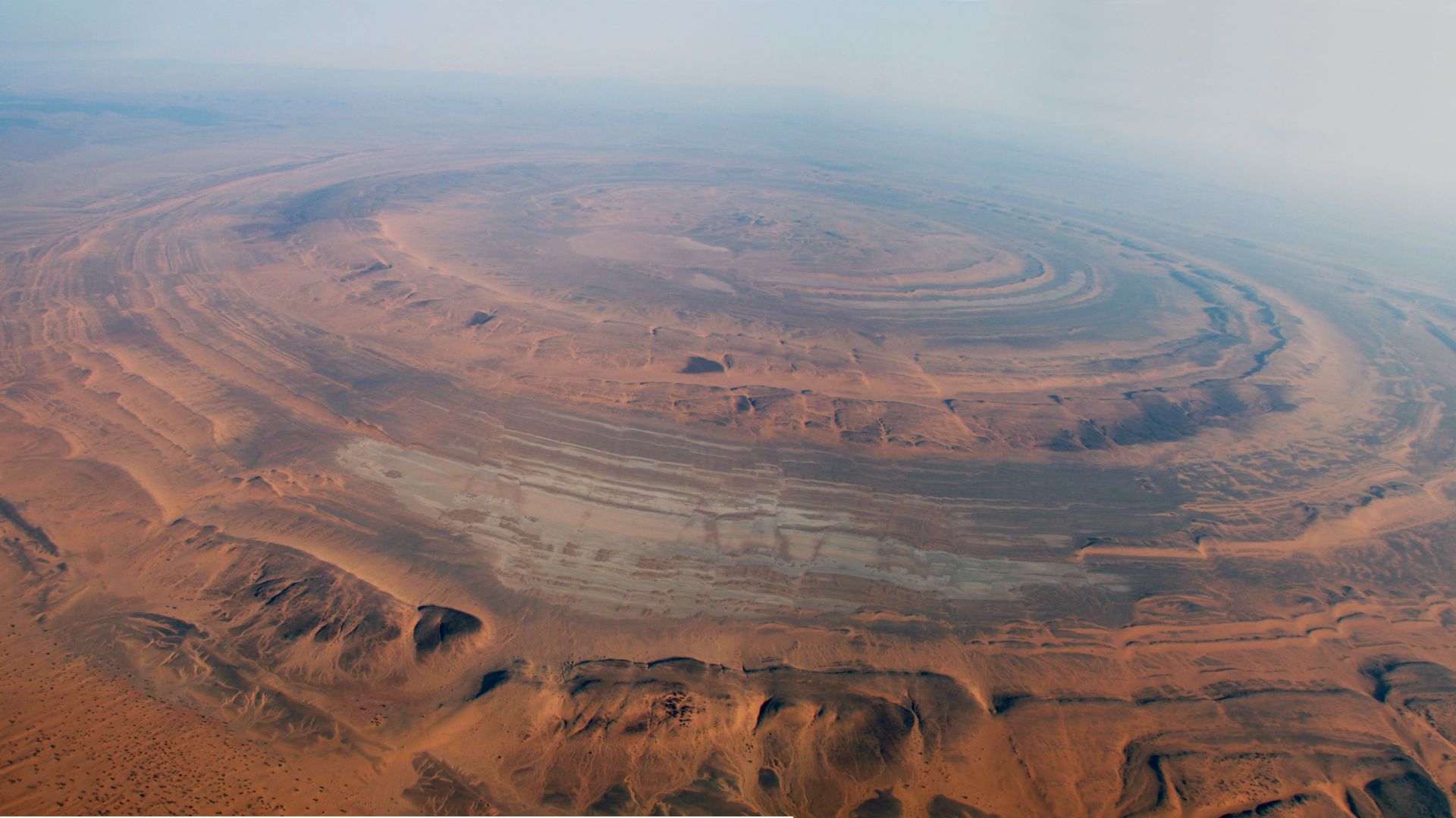
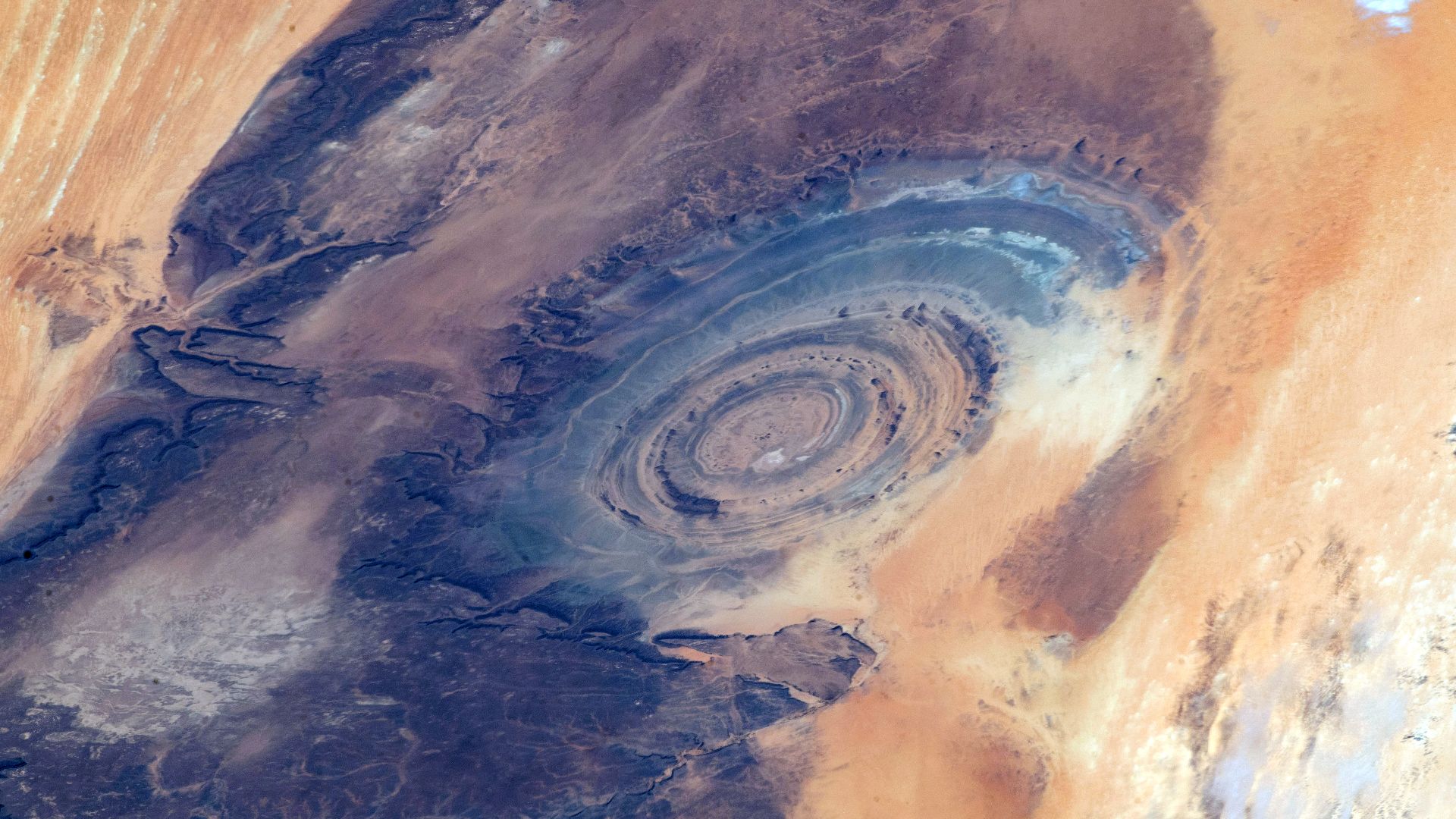
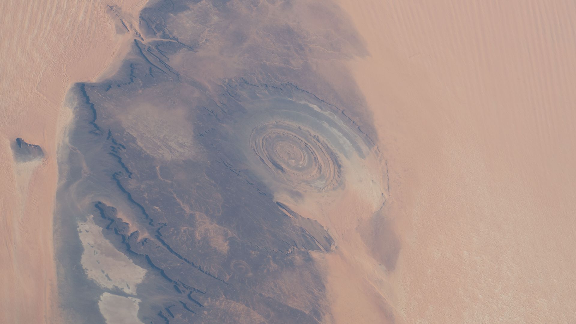
The place is called the Richat Structure, also known as the Eye of the Sahara. Located in Mauritania, in northwest Africa, it consists of enormous circular ridges surrounding a central area. From above, the whole thing looks like a giant bull’s-eye pressed into the desert.
 Yonas Kidane, Wikimedia Commons
Bigger Than It Looks
The formation measures roughly 25 miles across. That’s so large that someone standing inside it would struggle to recognize the overall pattern. What looks like a remarkably organized set of circles in a satellite image becomes a sprawling landscape of ridges and valleys on the ground.
A Photograph Changed The View
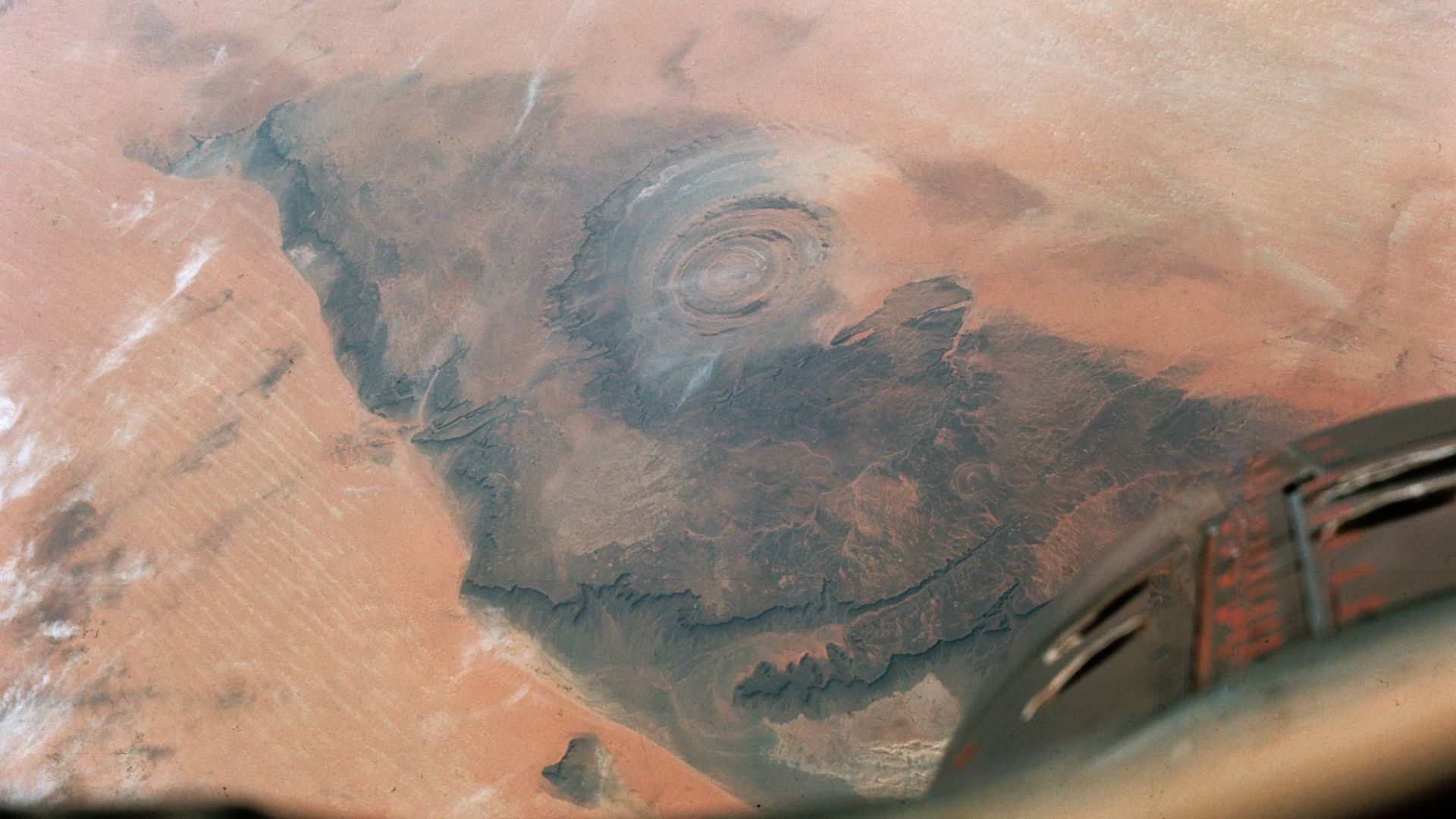
French geographers had described the formation by the 1930s, but space photography brought it to a much wider audience. During the Gemini IV mission in 1965, astronauts Ed White and James McDivitt photographed it from orbit. Suddenly, the desert’s enormous “eye” had a whole new audience.
 NASA/Gemini 4, Wikimedia Commons
Where Atlantis Enters The Story
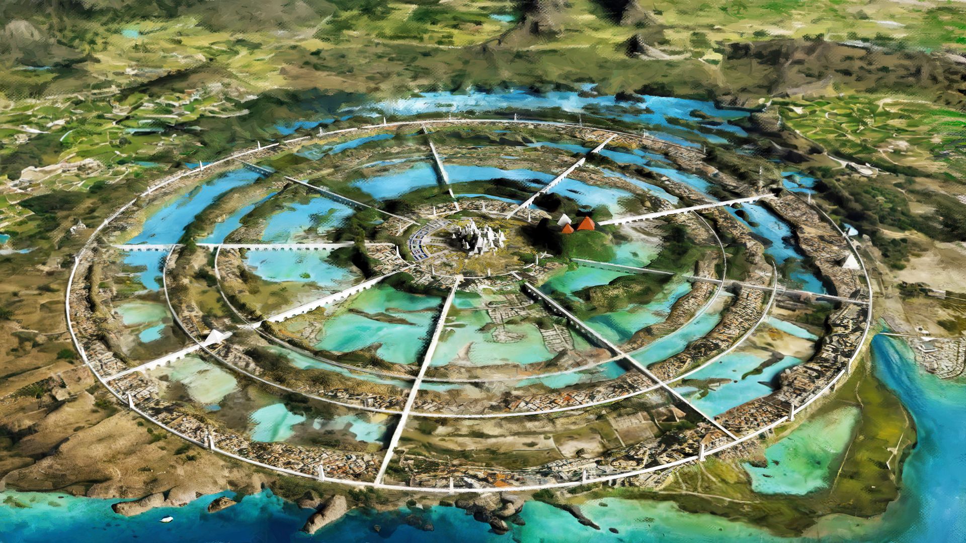
To understand the connection, it helps to go back much further than the space program. The Atlantis account comes from the ancient Greek philosopher Plato, who described it in his dialogues “Timaeus” and “Critias.” His story included a wealthy island power with an unusually arranged capital.

The Detail That Gets Attention
Plato described the capital’s central area as surrounded by alternating rings of land and water. There were bridges, waterways, and access to the sea. Now look at an overhead photograph of the Richat Structure. It’s easy to understand why those circles caught someone’s attention.
A Civilization That Disappeared
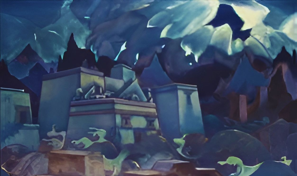
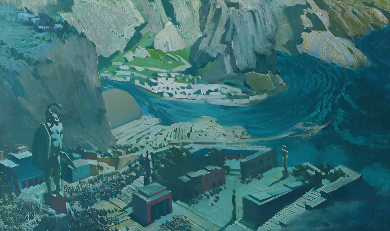
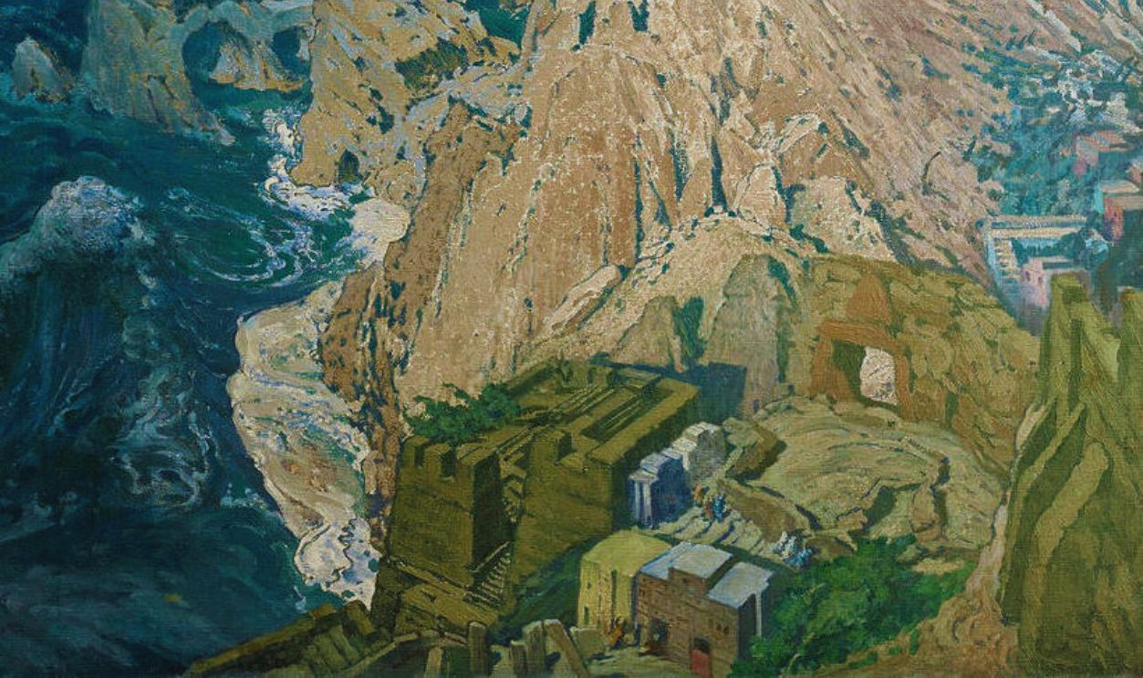
Then there’s the ending everyone remembers. In Plato’s account, earthquakes and floods struck, and Atlantis disappeared beneath the sea in a single disastrous day and night. That dramatic disappearance has encouraged generations of people to wonder whether some trace of the place might still survive.
 Work by Nicholas Roerich, Wikimedia Commons
So Why Search A Desert?
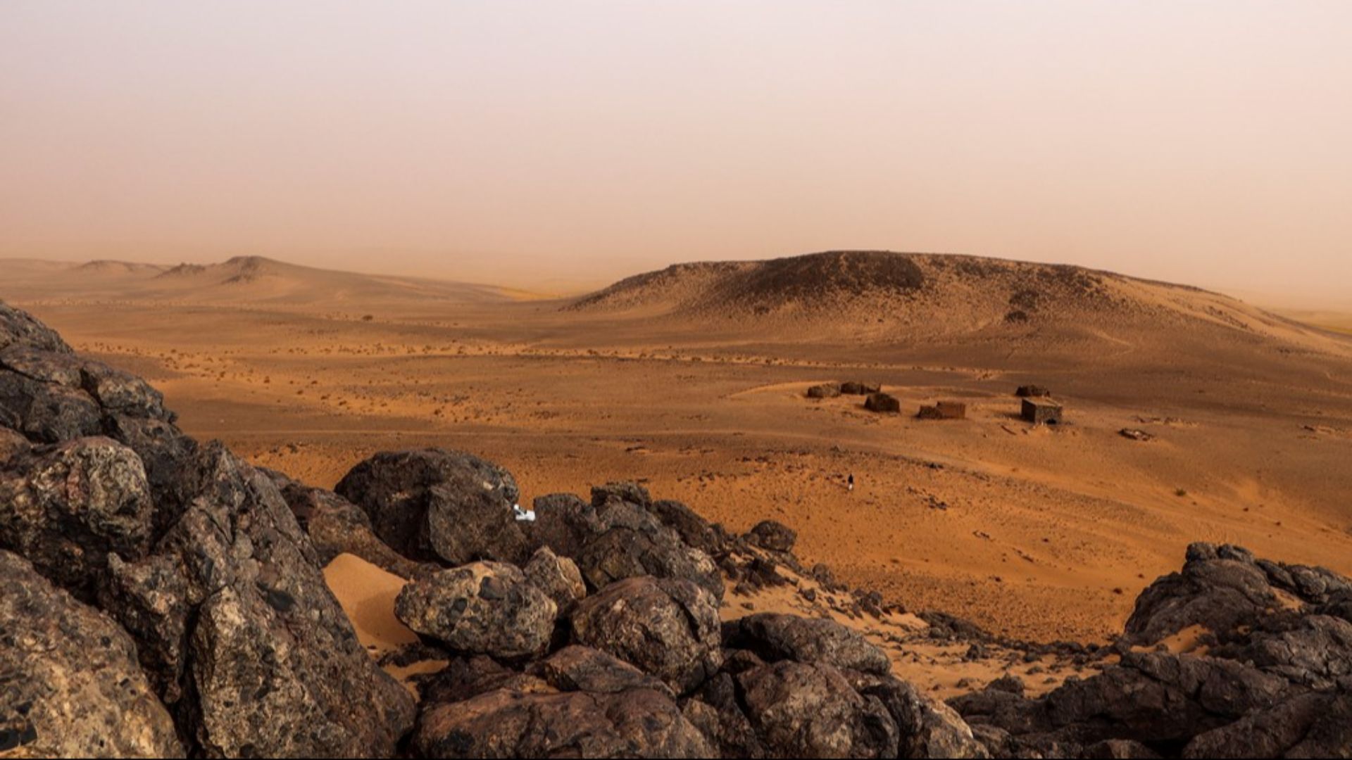
That sounds like a fairly obvious problem. How does a civilization supposedly swallowed by the sea end up associated with a desert? Supporters of the Richat theory point out that today’s Sahara hasn’t always looked the way it does now. And on that particular point, they’re right.
 Clemens Schmillen, Wikimedia Commons
The Sahara Used To Be Greener
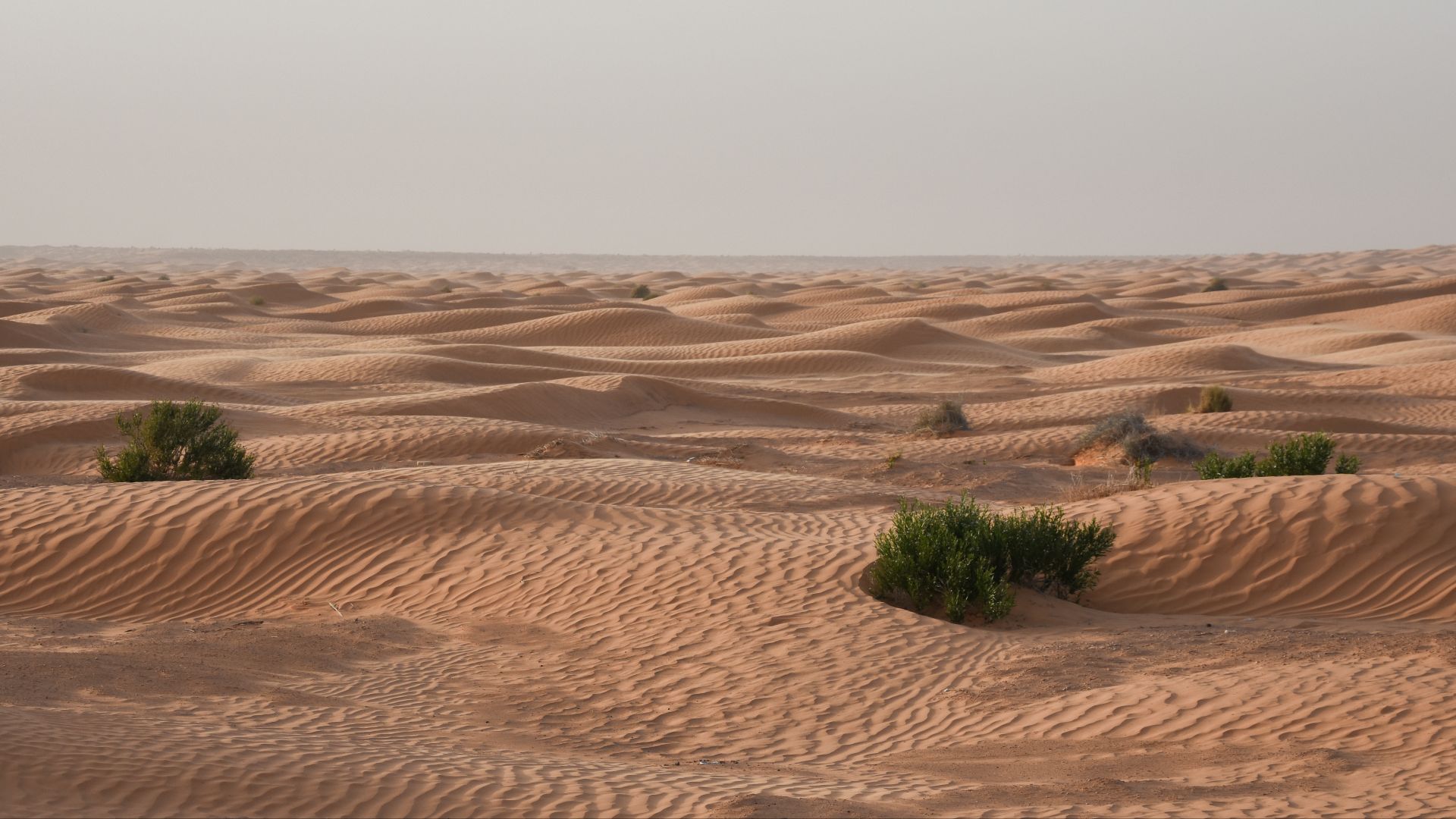
During the African Humid Period, large parts of the Sahara received much more rainfall. Areas that are now desert supported vegetation, lakes, and human populations. Particularly wet conditions existed across much of the region roughly 11,000 to 5,000 years ago, although the timing varied by location.
 NASA/GSFC/Landsat 7/USGS, Wikimedia Commons
Water Changes The Picture
Imagine looking at the same landscape with more vegetation and water, and the Atlantis suggestion becomes easier to picture. But a greener Sahara establishes something specific: the region’s climate changed. It doesn’t establish that the Richat Structure once contained the waterways, buildings, or civilization Plato described.
 El Golli Mohamed, Wikimedia Commons
People Really Were Here
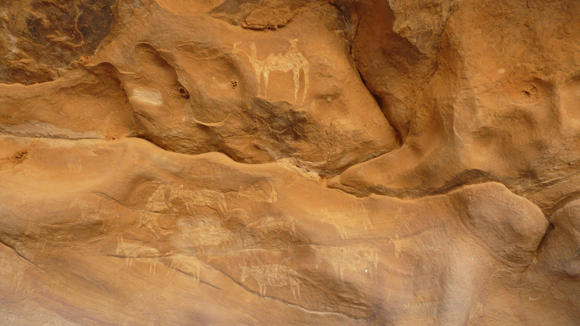
The surrounding Adrar Plateau does preserve evidence of human history, including prehistoric stone tools and rock art. This wasn’t simply an empty landscape waiting for astronauts to photograph it. People lived in and traveled through the region long before modern satellite images made its geology famous.
The Scientists Had Their Own Mystery
Long before the Atlantis theory became an online attraction, researchers were trying to explain the formation itself. Those enormous circles needed an explanation. One early possibility seemed fairly reasonable: perhaps something had struck Earth and left an enormous impact crater behind.
The Crater Explanation Didn’t Hold Up
A circular outline can suggest a meteorite impact, but shape alone doesn’t settle the question. Geological investigations eventually led researchers away from that explanation. The Richat Structure’s rocks and underground features pointed toward processes originating beneath the surface instead.
 European Space Agency, Wikimedia Commons
Something Pushed Up From Below
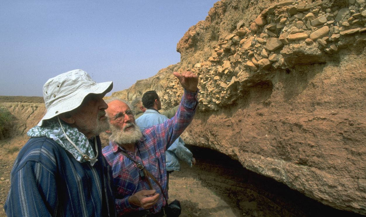
The broad explanation is that molten material intruded beneath existing rock layers, helping push them upward into a dome. That gave erosion a raised structure to work on. The landscape visible today developed as that dome was gradually worn down and its layers became exposed.
Why The Rings Survived
Different kinds of rock resist erosion differently. Harder layers remained as ridges while softer material wore away more readily. Because those layers had been lifted into a dome, the exposed edges formed rings. What looks carefully arranged from above follows the structure of the rocks themselves.

There’s More Going On Underneath
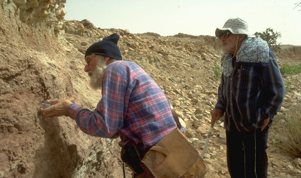
Research has also identified intrusive rock formations and evidence that hot fluids circulated through the complex. In its central area, dissolution and collapse helped create a large body of broken rock. The Eye’s history involves several geological processes, which is why explaining it took more than one photograph.
The Dates Go Back Much Further
The geological history may stretch back even further than once thought. A 2024 study suggests some intrusive rocks formed approximately 230–200 million years ago, followed by another major episode around 100 million years ago that helped lift the dome. Erosion subsequently exposed the rings. This landscape developed long before human civilization.
Could People Have Used Natural Rings?
Of course, an ancient natural formation could later become a place where people lived. Establishing how the rings formed doesn’t, by itself, answer every archaeological question. But anyone proposing a city within those rings still needs evidence of that city. The shape can’t do all the work.
 NASA Earth Observatory, Wikimedia Commons
The Measurements Cause Trouble
Plato’s measurements describe several different areas. The central island and surrounding rings would span roughly three miles, while a more distant outer wall enclosed a much larger area. Richat measures about 25 miles across overall. Any claimed match depends on which boundaries are being compared, rather than one straightforward measurement.
And Then There’s The Sea
Plato’s account also gives the capital access to the sea and describes the island’s disappearance beneath it. Richat sits inland in the Sahara. A theory connecting the two has to explain that geographical difference with evidence. Simply pointing out that the Sahara was once wetter doesn’t resolve it.
 State Russian Museum, Wikimedia Commons
Where Are The City’s Remains?
Plato described an elaborate capital with temples, royal buildings, harbors, and busy waterways. Identifying Richat as that place would require convincing archaeological remains that fit the claim. No accepted discovery at the site has established the existence of that capital or identified it as Atlantis.
 State Russian Museum, Wikimedia Commons
Who Actually Supports The Theory?
This is where some headlines can leave the wrong impression. The Richat–Atlantis connection is largely promoted by independent enthusiasts and online personalities. It isn’t an accepted conclusion from archaeological research. The scientific work explaining the rings concerns the formation’s geological history, rather than the discovery of a lost civilization.
Was Plato Describing A Real Place?
There’s another question underneath the whole search: whether Atlantis existed as Plato described it. Most modern classical scholarship treats the account as philosophical fiction. Its powerful society, conflict, and downfall served a purpose in Plato’s writing. Treating every detail as a geographical clue is already making a substantial assumption.
 Mattia Preti, Wikimedia Commons
A Photograph Isn’t A Discovery
Identifying Atlantis would take much more than a striking resemblance. But, for now, the photograph gives the theory its strongest sales pitch.
 Earth Science and Remote Sensing Unit, NASA Johnson Space Center, Wikimedia Commons
You Might Also Like: