A Continent Now Submerged
During the last glacial period, falling sea levels exposed an enormous region connecting northeastern Asia and North America. Known as Beringia, this was not simply a narrow bridge. Fossils, sediment cores, ecological evidence, and genetics have gradually transformed scientists’ picture of this vanished landscape and its importance to human migration.
Beringia Was Enormous
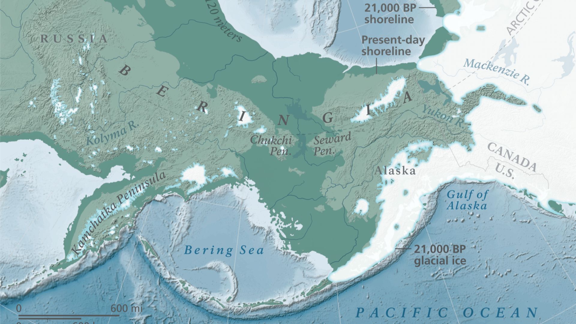
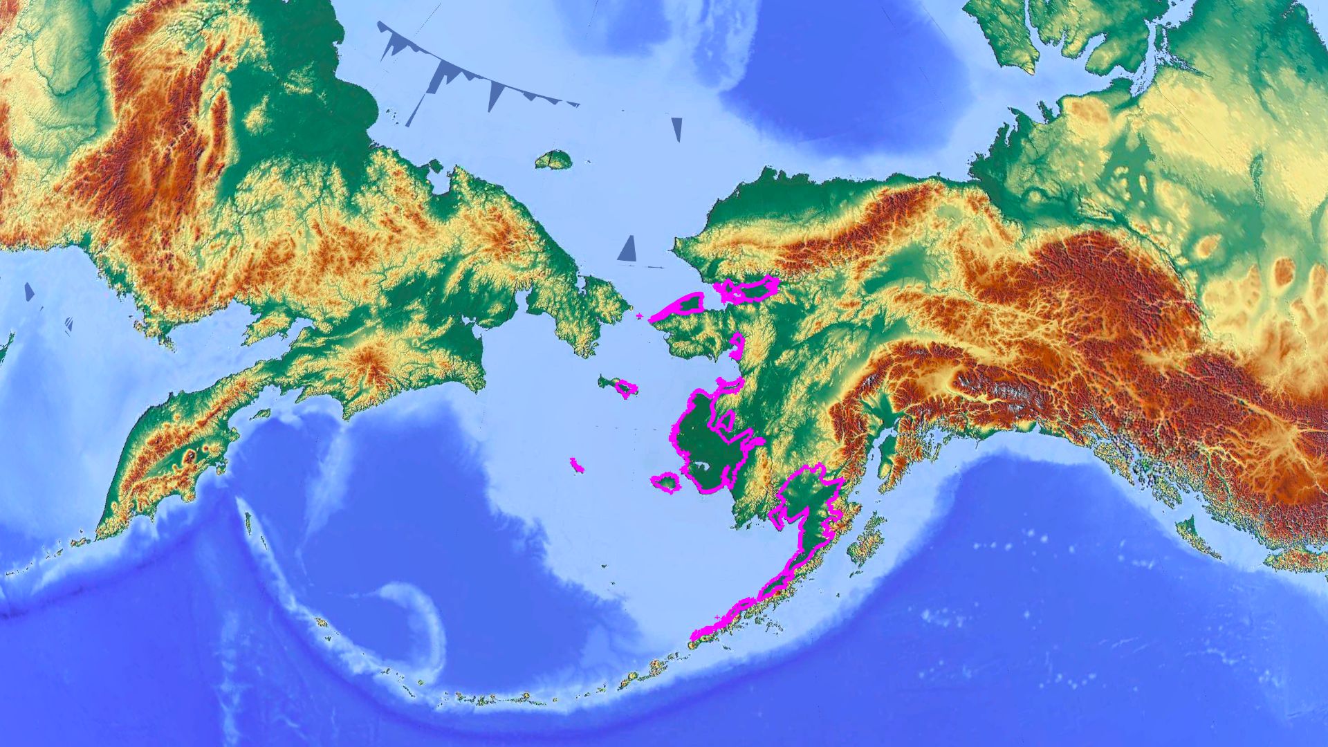
Beringia extended from Siberia’s Lena River region eastward to the Mackenzie River in Canada. At its greatest extent, the land bridge itself was up to 1,000 kilometers (621 miles) wide and covered roughly 1.6 million square kilometers (617,000 square miles), comparable in area to the Canadian provinces of British Columbia and Alberta combined.
 Unknown authorUnknown author, Wikimedia Commons
Falling Seas Exposed Land
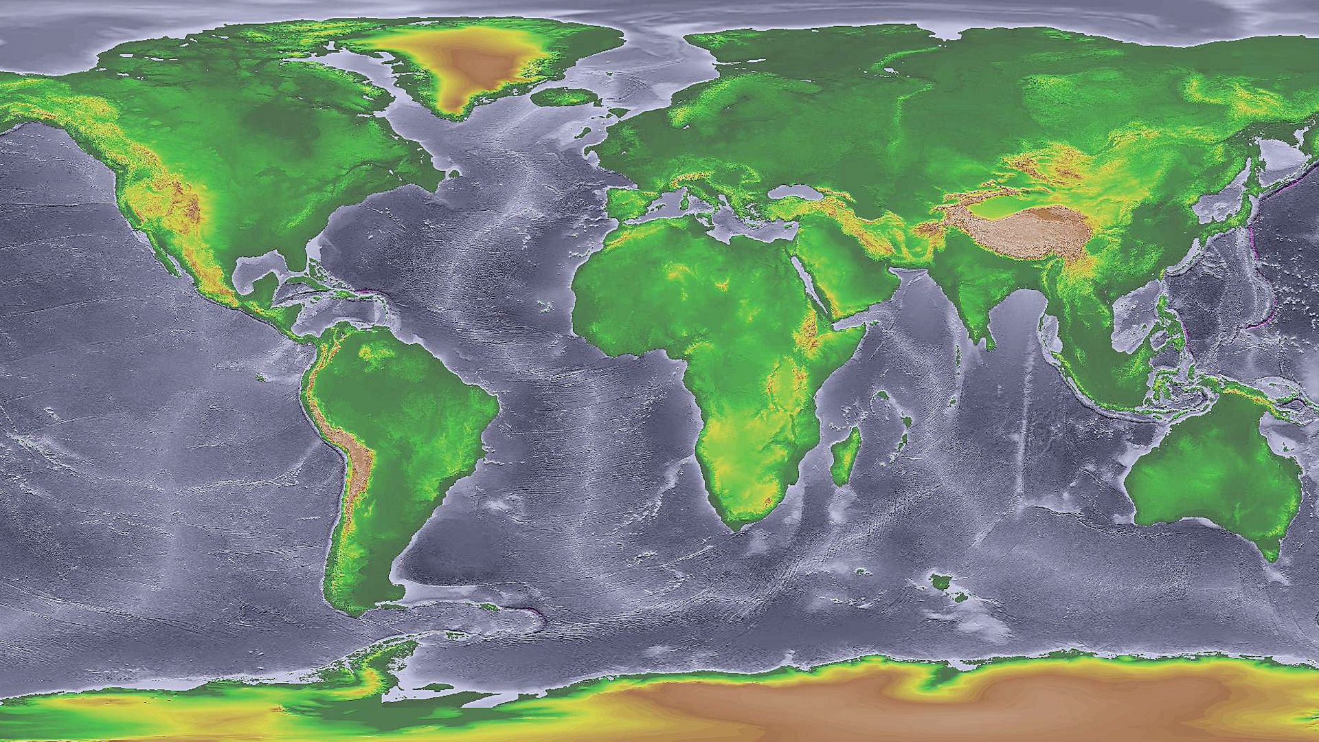
During glacial periods, enormous quantities of water became locked within continental ice sheets. Global sea levels consequently fell by as much as 100 meters or more. Because the floors of the Bering and Chukchi seas are comparatively shallow, falling water levels transformed large expanses of seabed into dry land.
 National Oceanic and Atmospheric Administration, Wikimedia Commons
The Bridge Came And Went
Beringia was not exposed just once. The National Park Service says Alaska may have been connected with Siberia for perhaps 80 percent of the past million years. Another reconstruction places the most recent continuous land bridge from approximately 30,000 until 11,000 years before present.
An Unexpected Ice-Free Refuge
Although enormous ice sheets covered much of Canada, northern Europe, and other regions, Beringia’s lowlands remained largely ice-free. The exposed land bridge restricted Pacific moisture, producing conditions dry enough that relatively little snow accumulated. Glaciers were therefore largely confined to mountainous areas capable of catching sufficient moisture.
Life Between The Glaciers
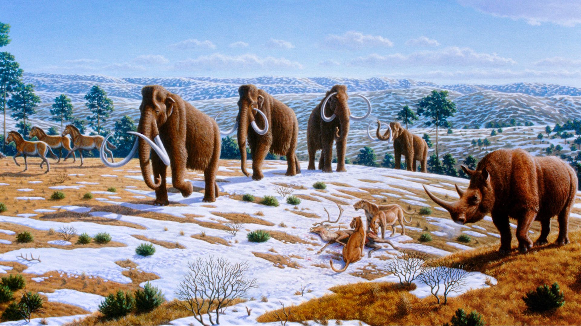
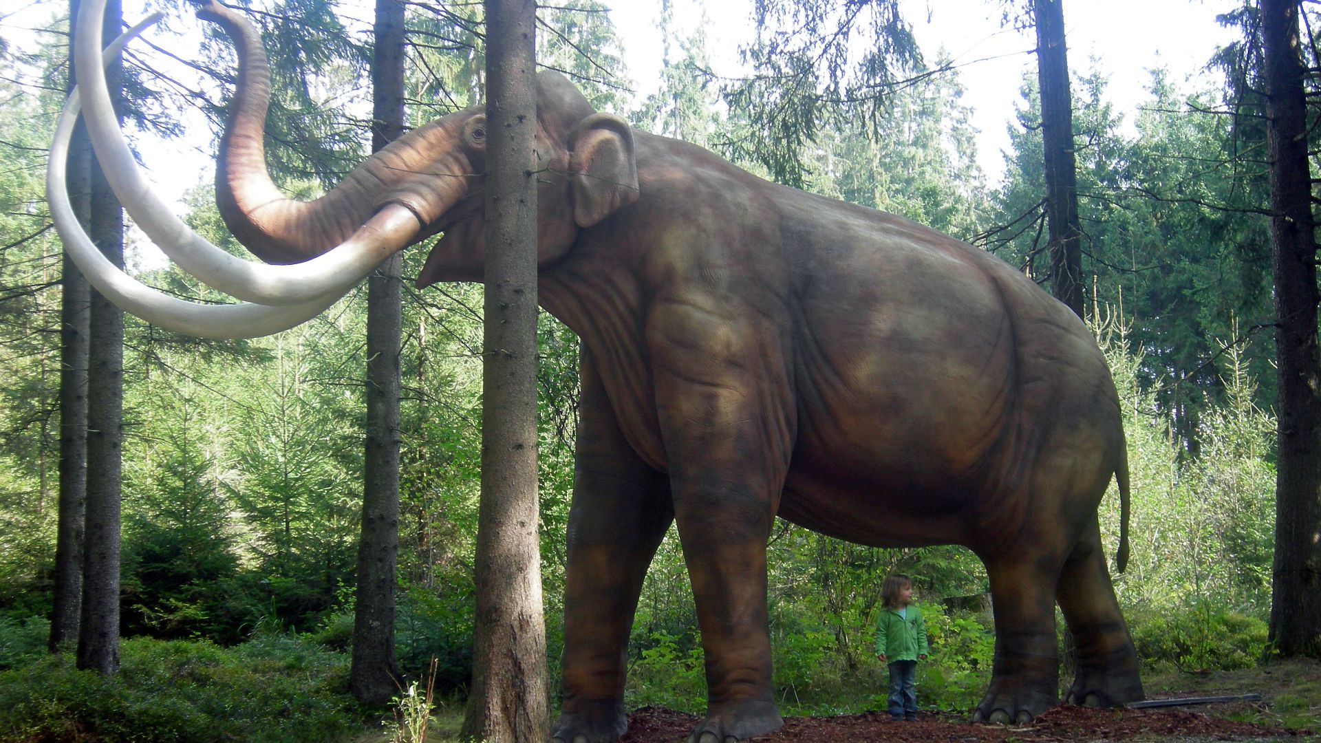
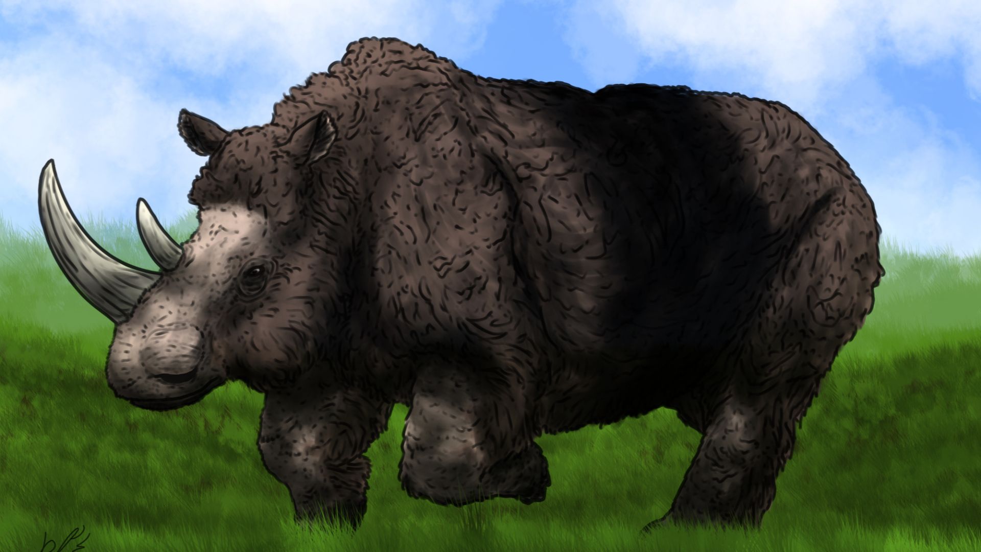
This ice-free territory became an important refuge for plants and animals. Beringia supported woolly mammoths, horses, bison, musk-oxen, Pleistocene camels, giant short-faced bears, and scimitar cats. Woolly rhinoceroses occupied western Beringia in Siberia, although evidence indicates they never successfully crossed into North America.
 Mauricio Anton, Wikimedia Commons
Tiny Fossils Tell More
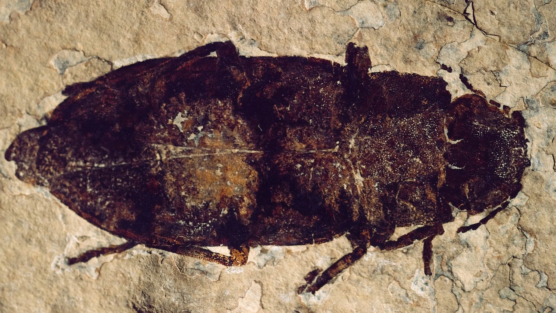
Large mammal bones provide only part of Beringia’s environmental record. Fossil beetles are especially informative because their hard external skeletons preserve remarkably well in organic-rich sediments. Under permafrost conditions, specimens hundreds of thousands of years old can remain so well preserved that they appear surprisingly recent.
Beetles Record Their Environment
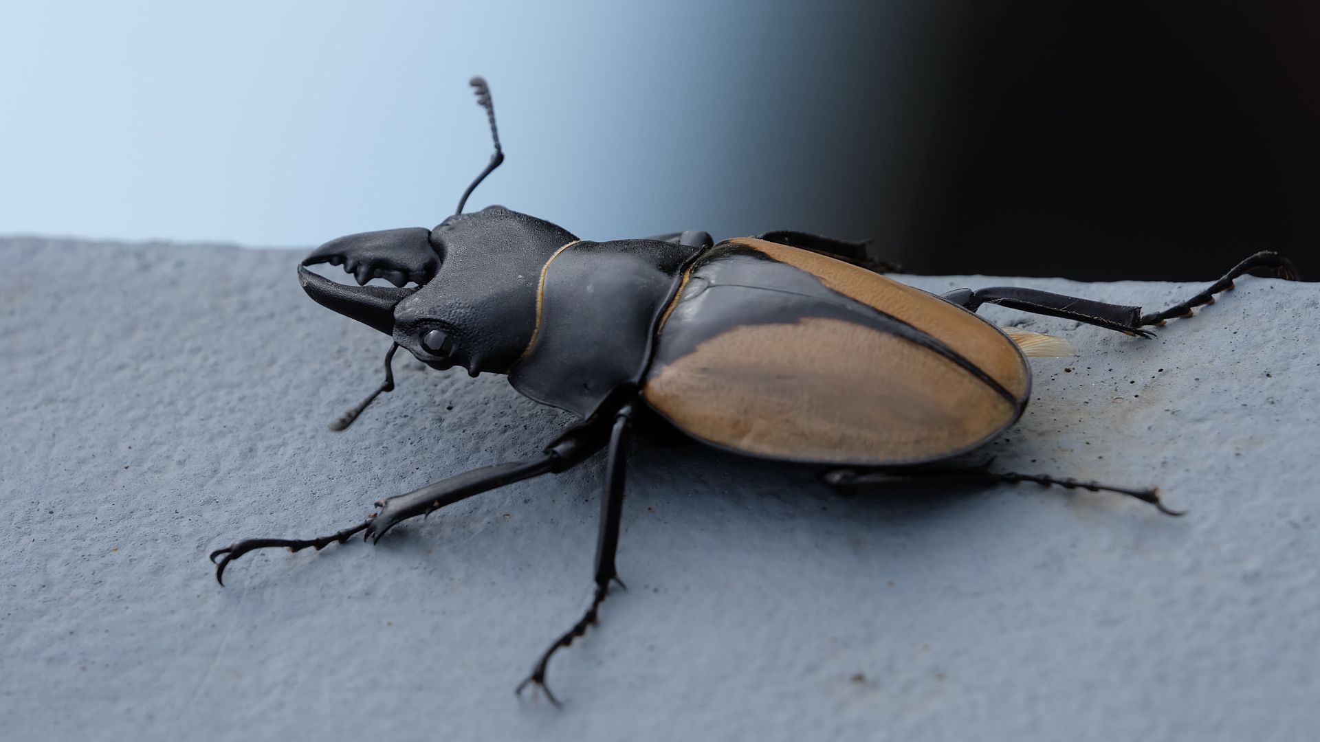
Different beetle species require particular foods, temperatures, moisture levels, and vegetation. Because many ancient Beringian beetles still survive, researchers can compare fossil species with their modern ecological requirements. Assemblages of different beetles therefore provide a biological signature revealing which kinds of ecosystems once occupied particular locations.
 Vineed george, Wikimedia Commons
The Mammoth Steppe
Much of eastern Beringia supported productive steppe-tundra dominated by grasses and herbs mixed with Arctic tundra plants. These grasslands supported mammoths, horses, bison, camels, and musk-oxen. The ecosystem stretched far beyond Alaska and Yukon, across unglaciated Siberia and into parts of western Europe.
Not One Uniform Landscape
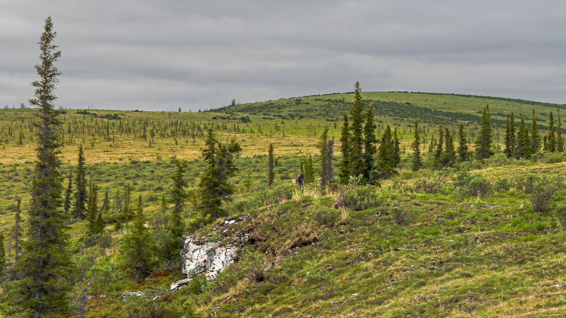
Research has complicated the older image of Beringia as one enormous, continuous grassland. Evidence now portrays the Late Pleistocene region as a mosaic of biological communities, including steppe-tundra, shrub tundra, and isolated refuges containing larch and spruce, accompanied by birch and alder. (Late Pleistocene = between 129,000 and 11,000 years ago)
 Daniel Case, Wikimedia Commons
Drilling Beneath The Sea
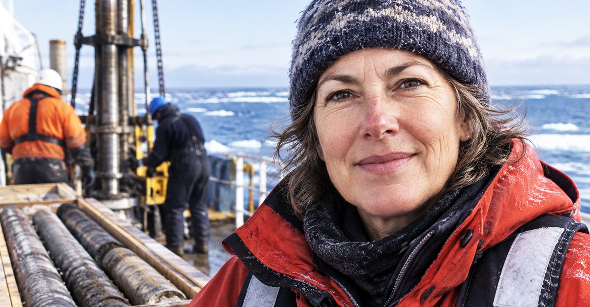
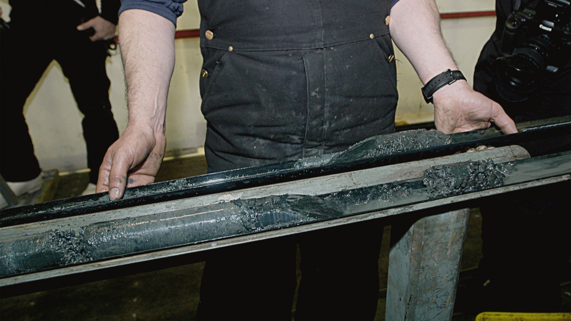
Some crucial evidence came from an unexpected source. During the 1970s and 1980s, the U.S. Geological Survey drilled numerous sediment cores into the floors of the Bering and Chukchi seas. The program primarily investigated geology relevant to oil and gas resources, not Ice Age ecosystems.
 Peter West, Office of Polar Programs, National Science Foundation., Wikimedia Commons
Ancient Ground In Cores
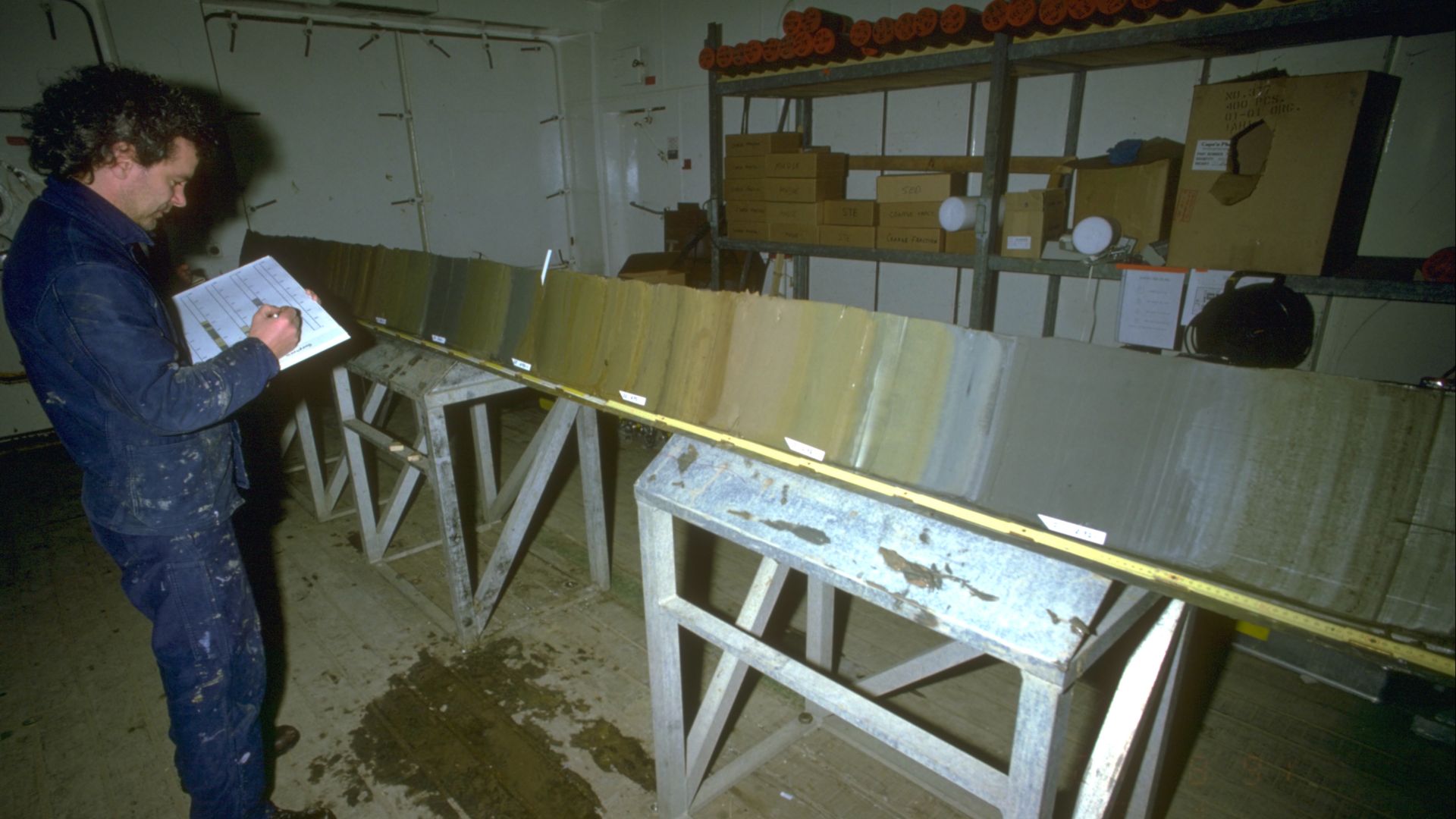
Some USGS cores extended into Cretaceous formations, but researchers studying Beringia were interested in their uppermost sediments. A meter or more of relatively soft material sometimes represented deposits accumulated when the modern seafloor was actually part of the exposed Bering Land Bridge during the last glacial period.
 Hannes Grobe/AWI, Wikimedia Commons
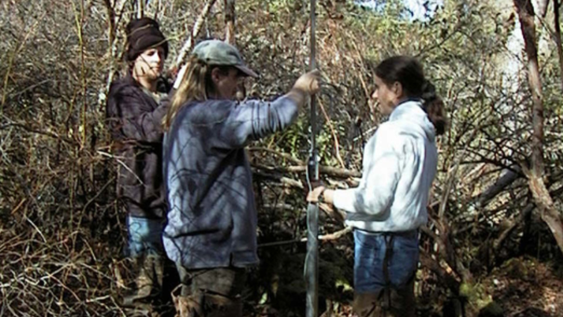
Twenty Cores Held Fossils
Thousands of cores had been collected, but researchers found Late Pleistocene fossils in about 20 of them. Their organic-rich sediments contained plant debris, pollen, and insects that had lived on the exposed land bridge. The peaty deposits probably accumulated within shallow ponds or bogs across the ancient landscape.
The Bridge Was Wetter
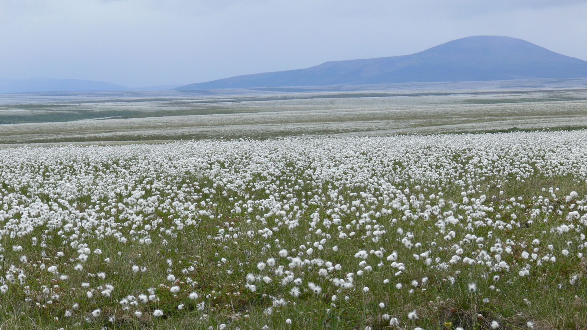
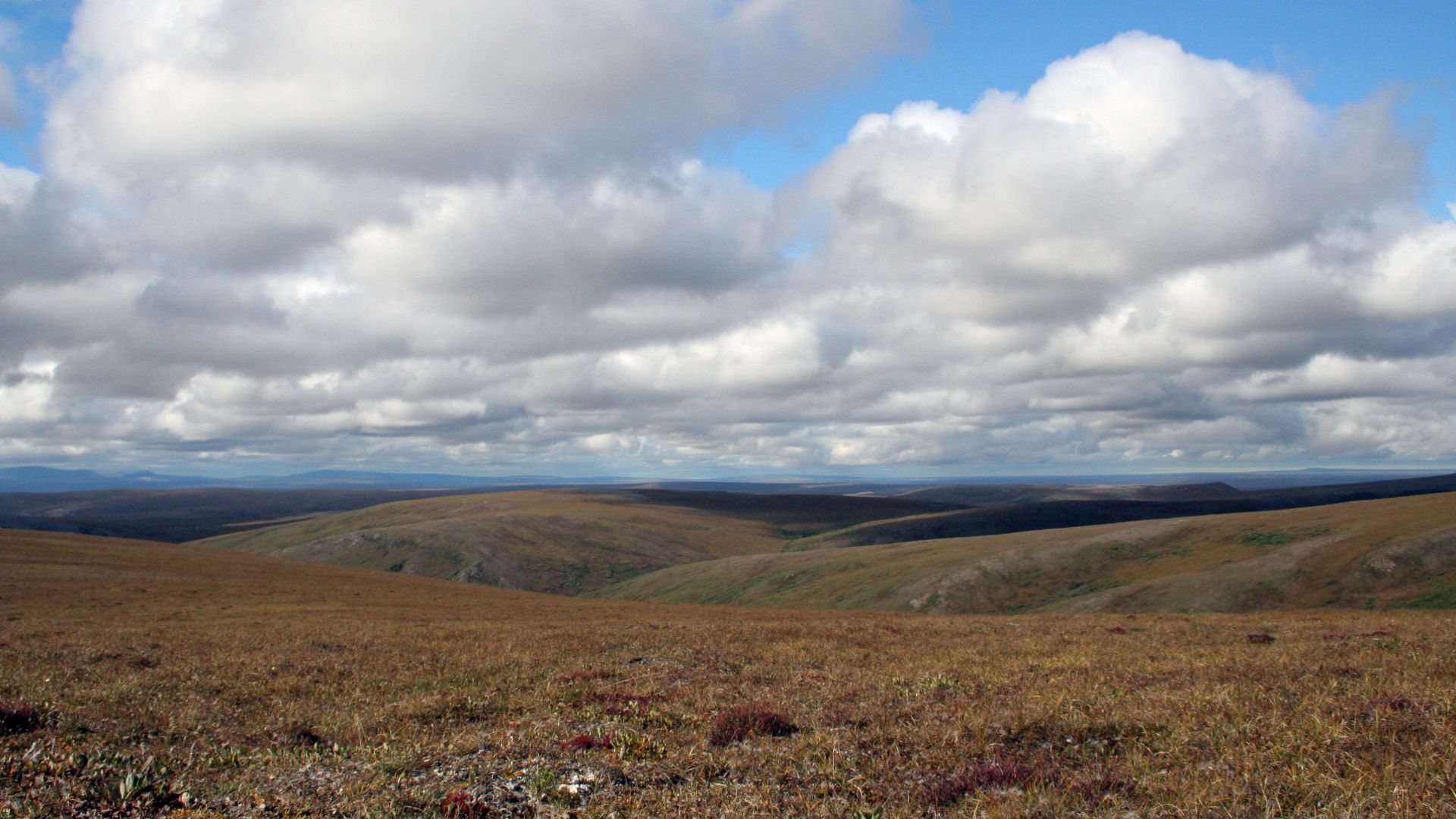
Analysis produced an important surprise. Much of the central and northern land bridge apparently supported mesic tundra rather than dry mammoth steppe. This moderately moist environment was dominated by dwarf birch and willow shrubs mixed with tundra herbs, with relatively little of the grass required by large grazing animals.
 Bering Land Bridge National Preserve, Wikimedia Commons
A Patchwork Emerged
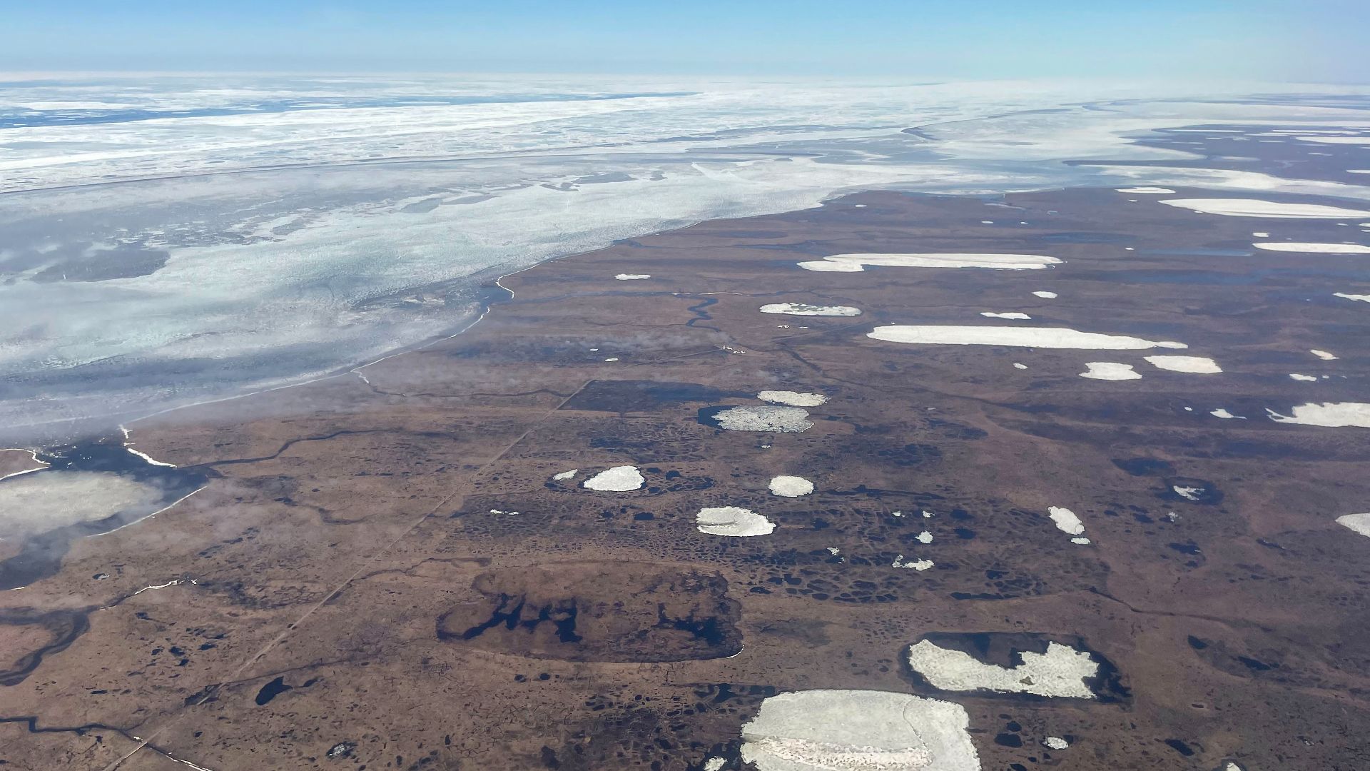
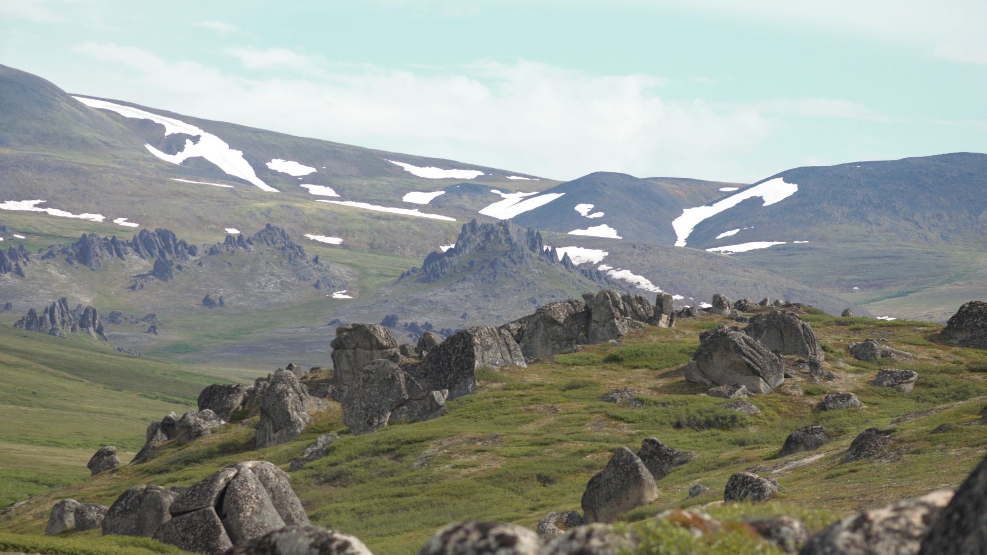
Mesic tundra also occurred in parts of upland, southwestern, and northwestern Alaska, but the pattern was not uniform. Parts of the Seward Peninsula supported steppe-tundra. St. Lawrence Island and other present-day Bering Sea islands also supported steppe-tundra when they formed highlands overlooking the exposed land bridge.
 Quintin Soloviev, Wikimedia Commons
The Beringian Buckle
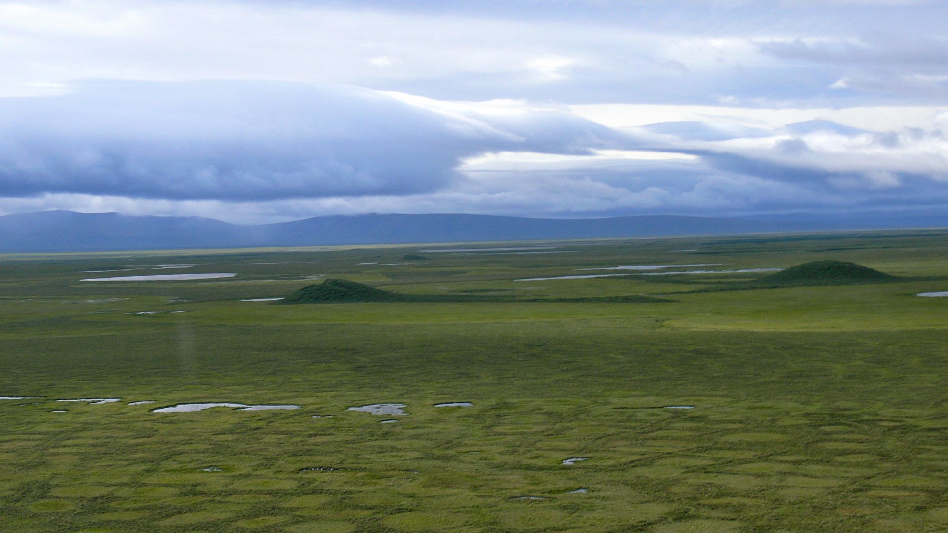
Paleontologist Dale Guthrie described the wetter central region as the “buckle” in the steppe-tundra belt. Instead of envisioning uninterrupted dry grasslands extending from Siberia into Alaska, the evidence indicated that the land bridge contained wetter, shrub-covered environments separating drier uplands on its eastern and western sides.
 Bering Land Bridge National Preserve, Wikimedia Commons
Not Every Animal Crossed
The wetter environment may explain a long-standing puzzle. Woolly rhinoceroses ranged across western Beringia but never crossed the bridge. Their feet were adapted to firm, dry ground, and they required abundant grasses. Mammoths, however, successfully occupied both sides, demonstrating that Beringia could simultaneously function as bridge and ecological barrier.
 Mr Langlois10, Wikimedia Commons
Migration Was Selective
The broader fossil record reinforces that conclusion. Mammoths, horses, and other dry-steppe animals crossed between continents, while several species remained restricted to one side. The resulting “Beringian Gap” hypothesis proposes that environmental conditions on the bridge itself constrained some animals even though no ocean physically separated Asia and North America.
Humans Enter The Story
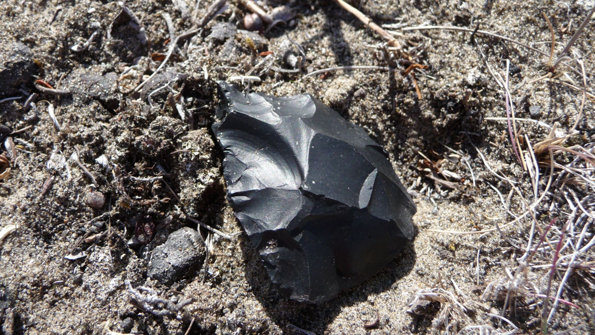
Beringia is central to explanations for the peopling of the Americas. The sources describe Paleolithic hunter-gatherers entering North America from northern Asia through Beringia. However, the National Park Service also notes an unresolved question about whether migrants crossed overland or traveled along the Pacific coastline by watercraft.
 Bering Land Bridge National Preserve, Wikimedia Commons
The Route Was Complicated
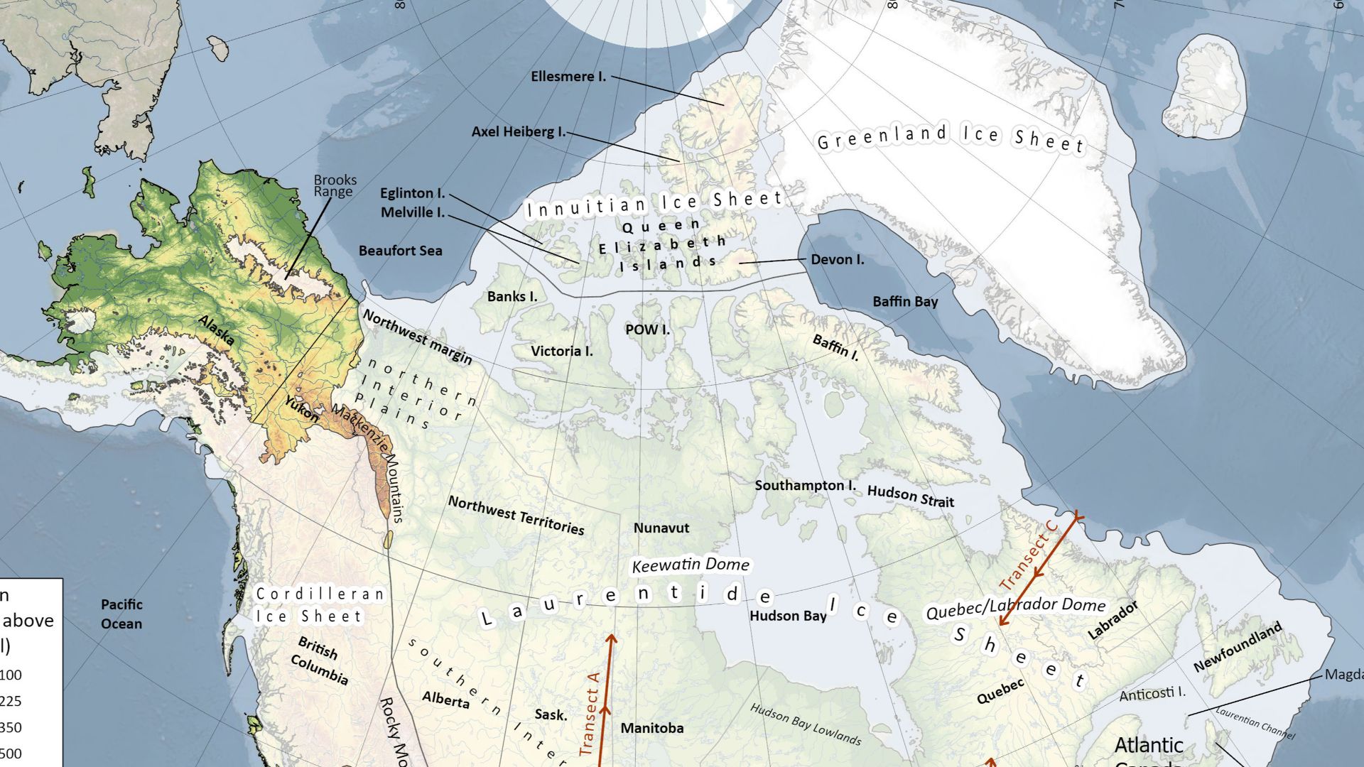
Simply reaching Alaska did not necessarily provide immediate access farther south. The Laurentide and Cordilleran ice sheets joined between roughly 24,000 and 13,000 years before present. A corridor between the retreating ice sheets opened around 13,000 years ago, while coastal movement represents another proposed route into the Americas.
 April S. Dalton, Chris R. Stokes, Christine L. Batchelor, Wikimedia Commons
Genetics Changed The Picture
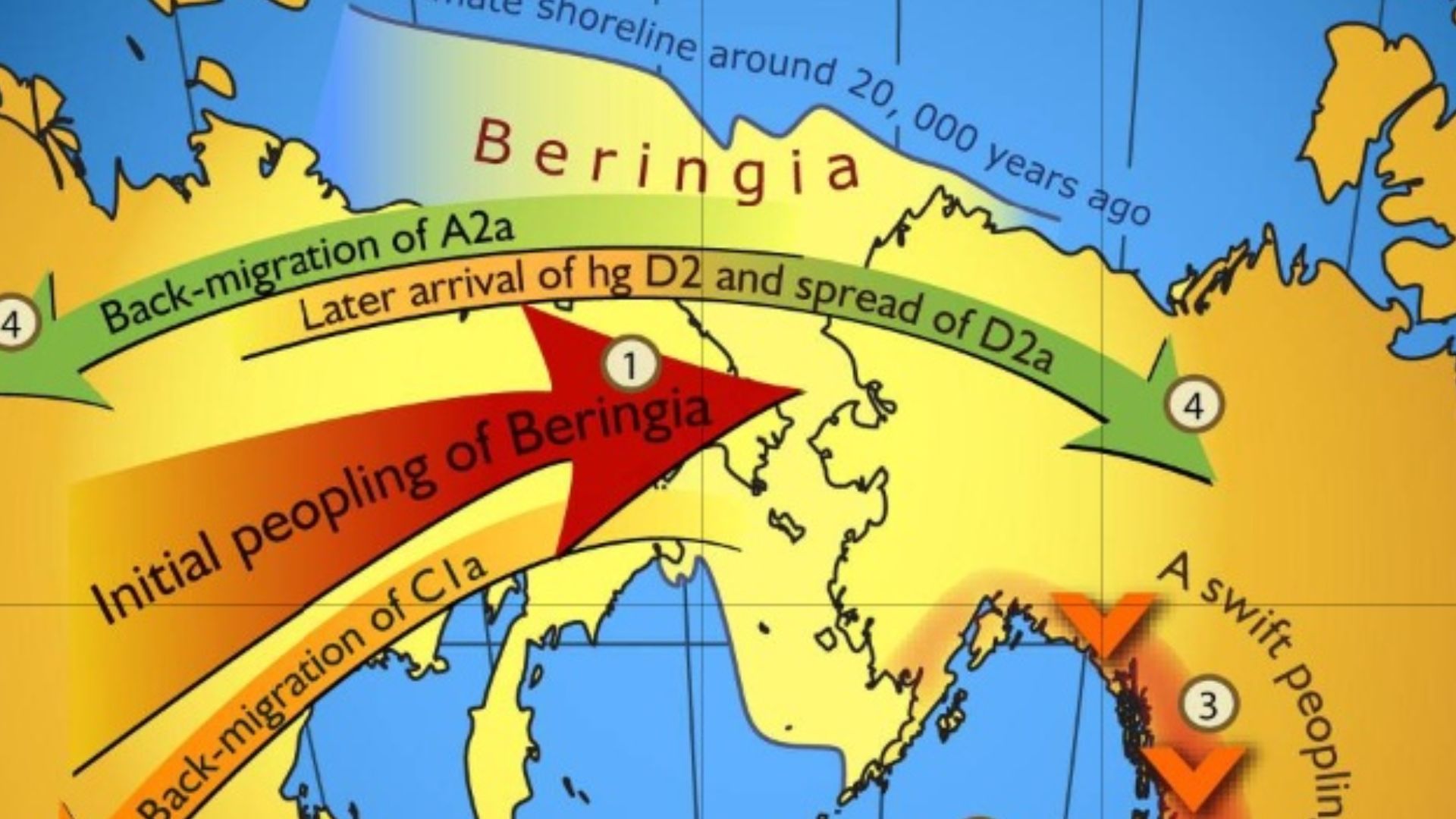
Genetic research added another dimension unavailable to earlier researchers. The Ancient Beringian lineage is based on the genome of an infant from Alaska’s Upward Sun River site, dated to approximately 11,500 years ago. That lineage is estimated to have diverged from the Ancestral Native American lineage about 20,000 years ago.
 Erika Tamm et al, Wikimedia Commons
A Small Founding Population
The Beringia source describes a model in which a relatively small population, numbering at most a few thousand, arrived from eastern Siberia during the Last Glacial Maximum (between 26,000 and 20,000 years ago). That population eventually expanded into the Americas before rising seas submerged the land bridge, although the precise migration chronology remains an active subject of research.
The Bridge Disappeared
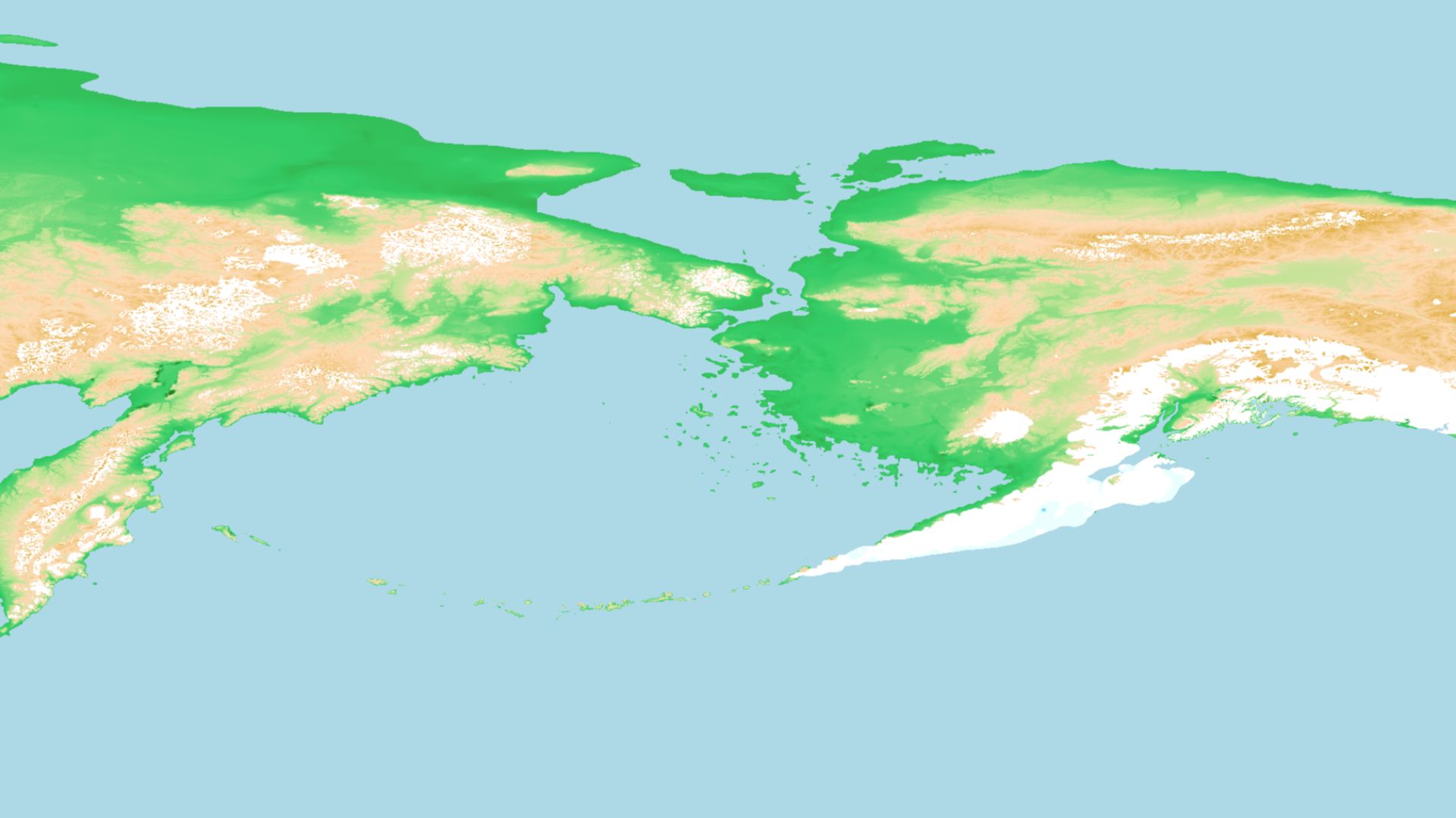
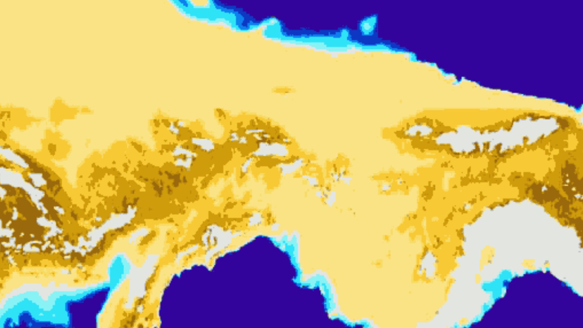
Northern Hemisphere deglaciation began approximately 19,000 years ago. As ice melted, global sea levels rose and progressively flooded the exposed land. The Bering Land Bridge was finally inundated around 11,000 years ago, transforming a vast terrestrial landscape once linking continents into the seafloor of the modern Bering region.
Islands Mark The Remnants
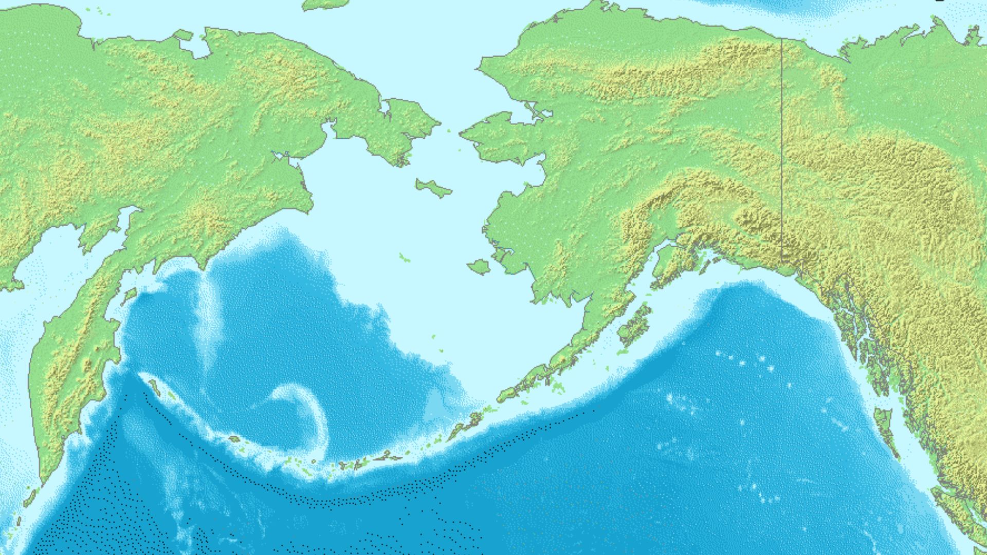
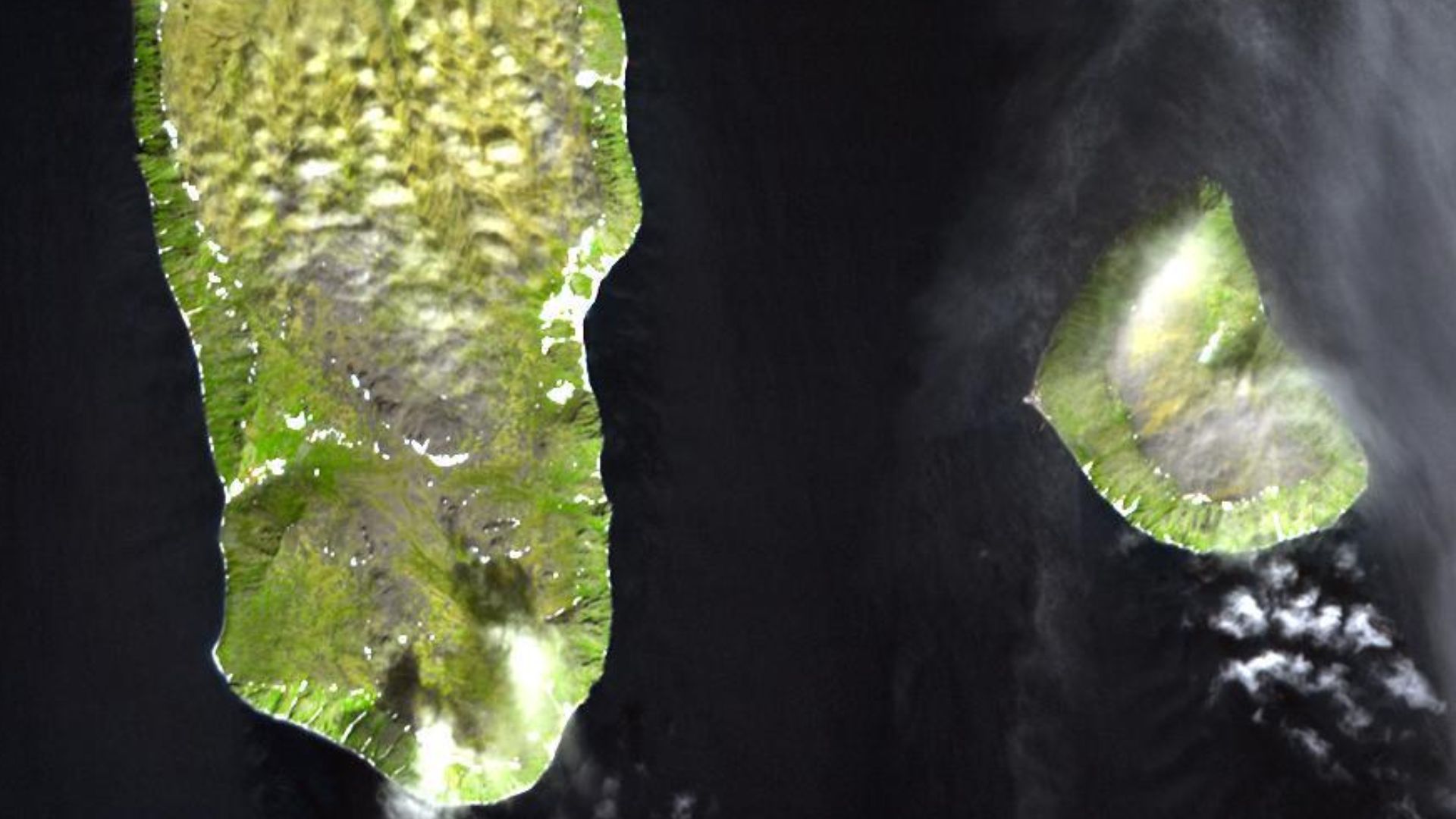
Almost all of central Beringia is now underwater. The remaining visible land from the central portion of the former bridge includes the Diomede Islands, St. Lawrence Island, St. Matthew Island, King Island, and the Pribilof Islands of St. Paul and St. George. Much of its environmental record consequently lies offshore.
 Unknown authorUnknown author, Wikimedia Commons
A Changing Picture
Over time, evidence has replaced the simplistic image of Beringia as merely a frozen highway into America. Sediment cores, beetles, pollen, mammal fossils, climate evidence, and genetics instead describe an enormous, varied ecosystem that sometimes facilitated migration and sometimes restricted it, while remaining fundamental to investigations of America’s earliest populations.
 Chris Russoniello, Wikimedia Commons
You May Also Like: