The Bible Is Full Of Travelers
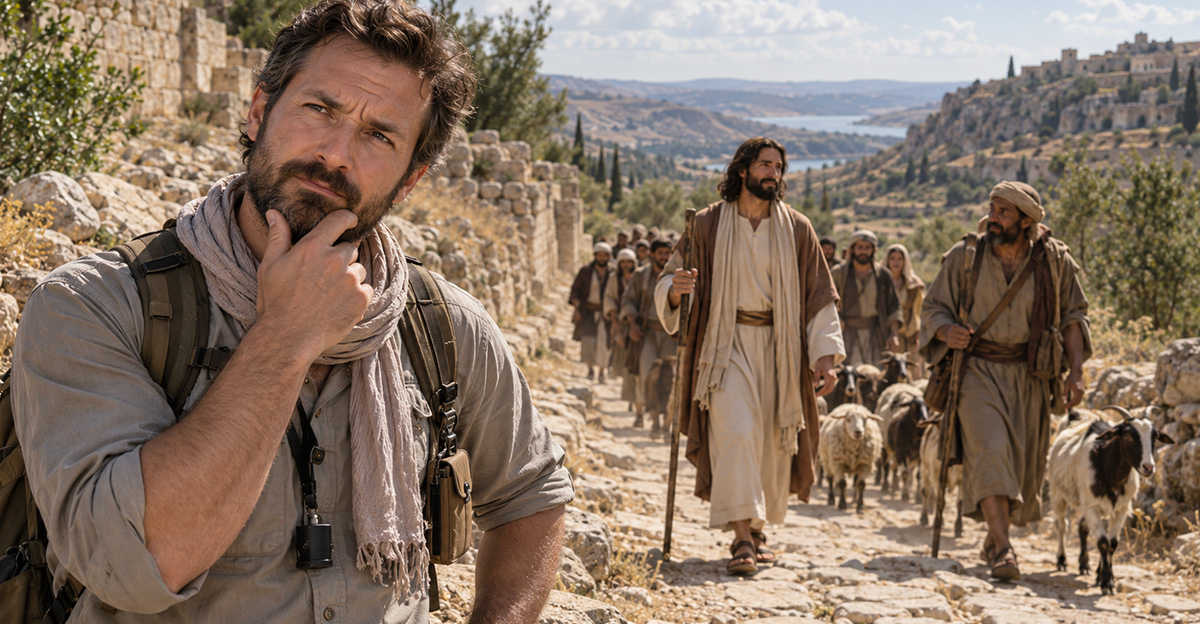
The Bible rarely lets anyone sit still for long. Abraham leaves home, Moses leads an entire people through the wilderness, Jesus walks from town to town, and Paul practically lives on the road. The destinations are often named. The exact paths between them are another matter entirely.
Archaeology Can Find Roads, Not Footprints
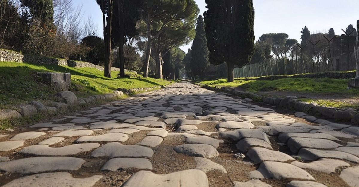
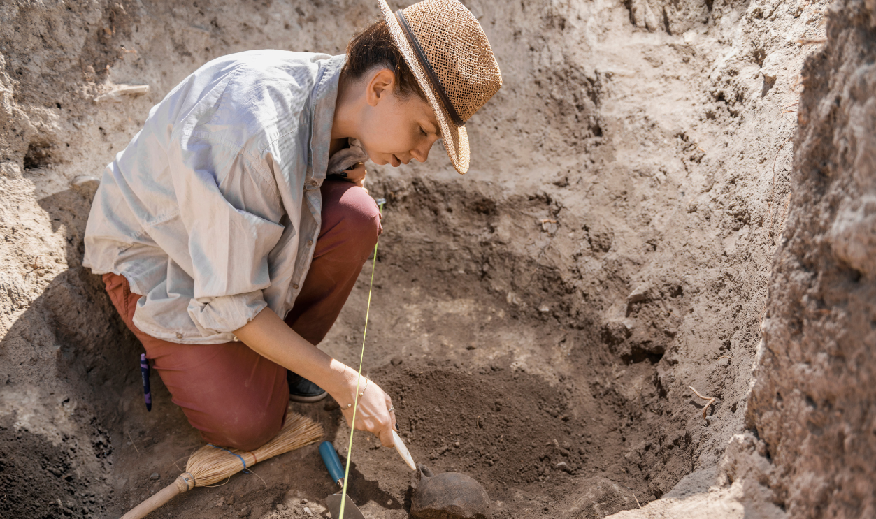
Archaeologists can uncover paved streets, caravan routes, bridges, milestones, wells, settlements, and mountain passes. What they usually cannot do is prove that one particular biblical figure walked over them. Reconstructing a journey therefore combines archaeology with geography, ancient texts, topography, and increasingly, computer mapping.
The Exodus Is The Giant Puzzle
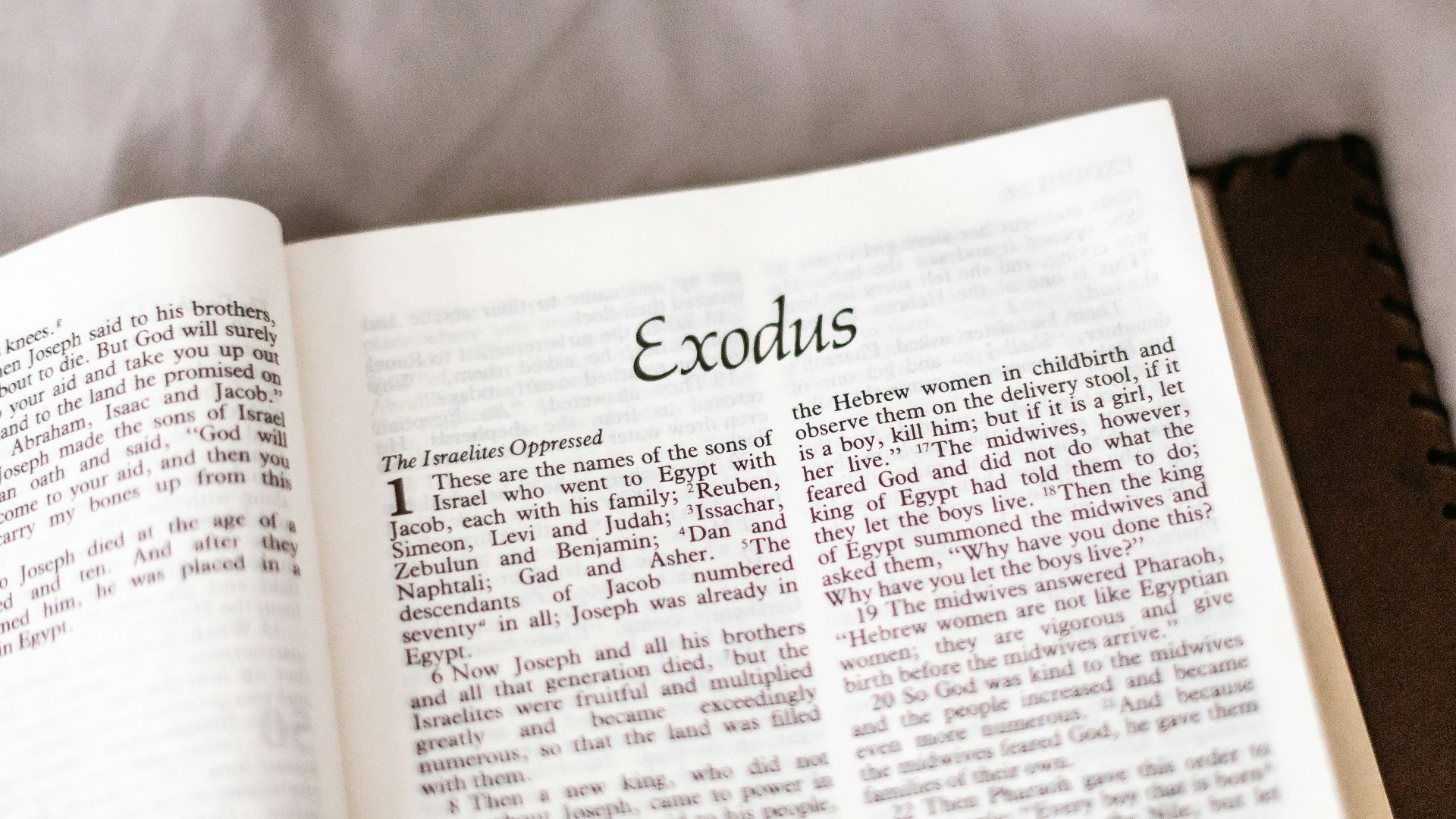
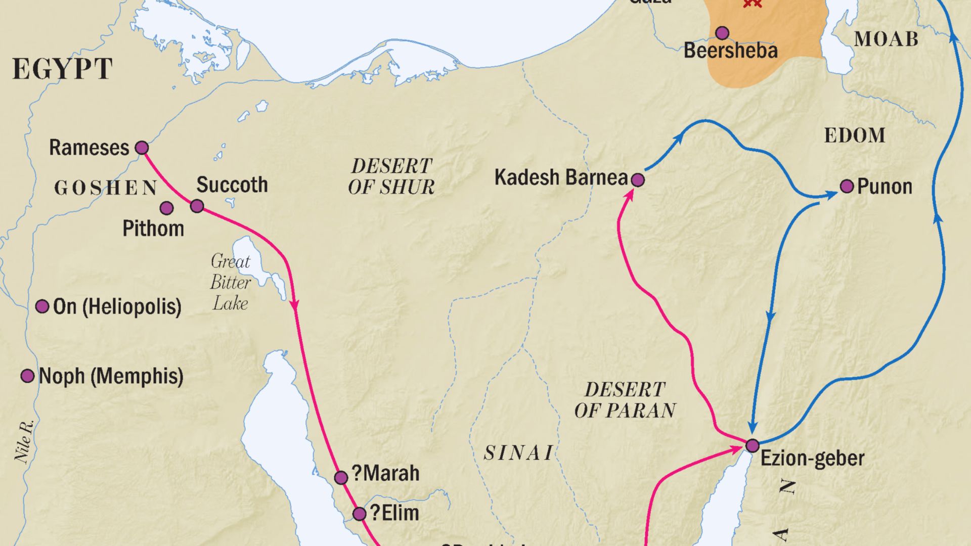
No biblical route has inspired more competing maps than the Exodus. Exodus and Numbers provide place names and stages, yet several locations remain unidentified. Even scholars who argue that the geographical traditions preserve historical information disagree over exactly how those names fit the landscape of northeastern Egypt and Sinai.
First Problem: Where Was Ramesses?
The journey begins in the region of Ramesses. The Ramesside capital Pi-Ramesses is generally associated with Qantir in Egypt’s northeastern Nile Delta, which gives researchers a useful starting region. Other Exodus place names, however, remain considerably harder to pin down with confidence.
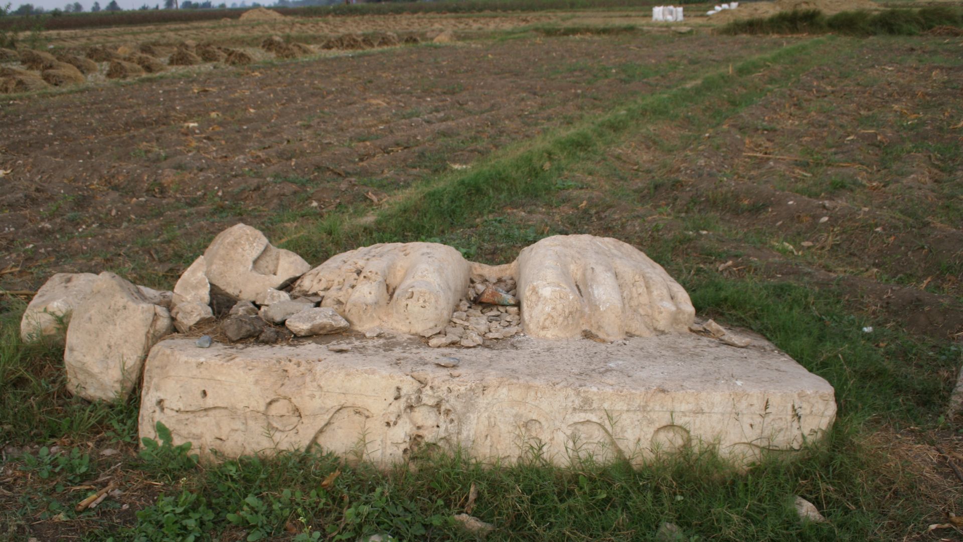 Iri-en-achti, Wikimedia Commons
The “Red Sea” May Not Be The Red Sea
Then comes one enormous translation problem. The Hebrew yam sûp is often rendered “Red Sea,” but it can also be understood as the “Sea of Reeds.” That opens several possible watery landscapes near Egypt’s eastern frontier, including ancient lakes and marshy areas rather than the modern Red Sea coastline.
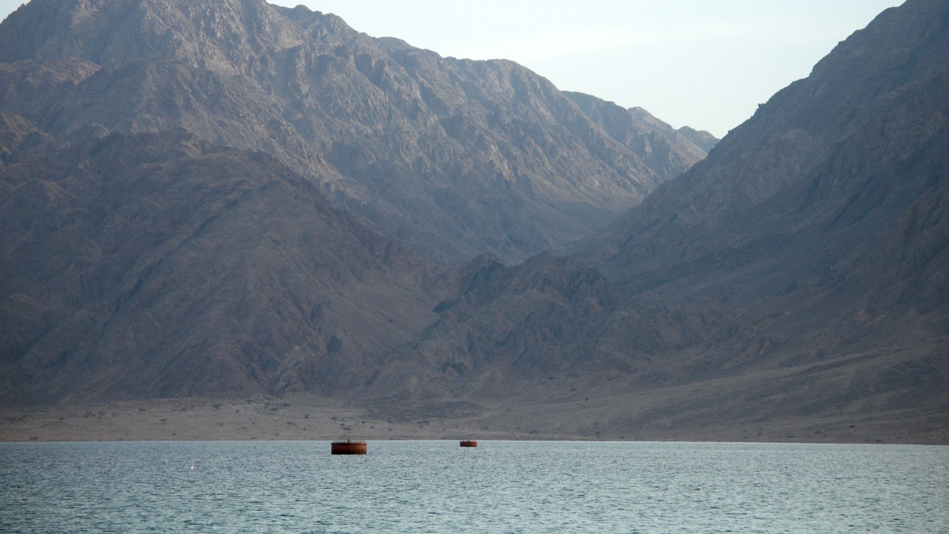 Vyacheslav Argenberg, Wikimedia Commons
Crossing Point Changes Everything
Move the sea crossing north or south and almost the entire Exodus map changes with it. Proposed crossings have ranged from the lakes near the Isthmus of Suez to areas farther south. Each possibility affects how quickly the Israelites could theoretically have reached the wilderness and Mount Sinai.
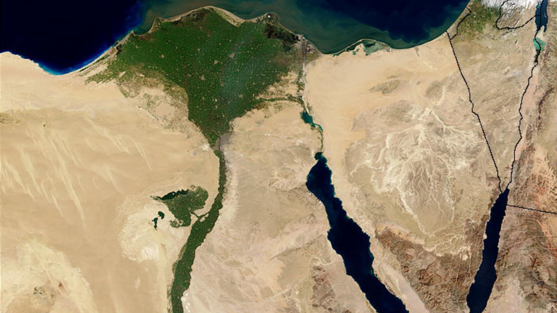 Jacques Descloitres, MODIS Rapid Response Team, NASA/sh, Wikimedia Commons
Sinai Has Too Many Mountains
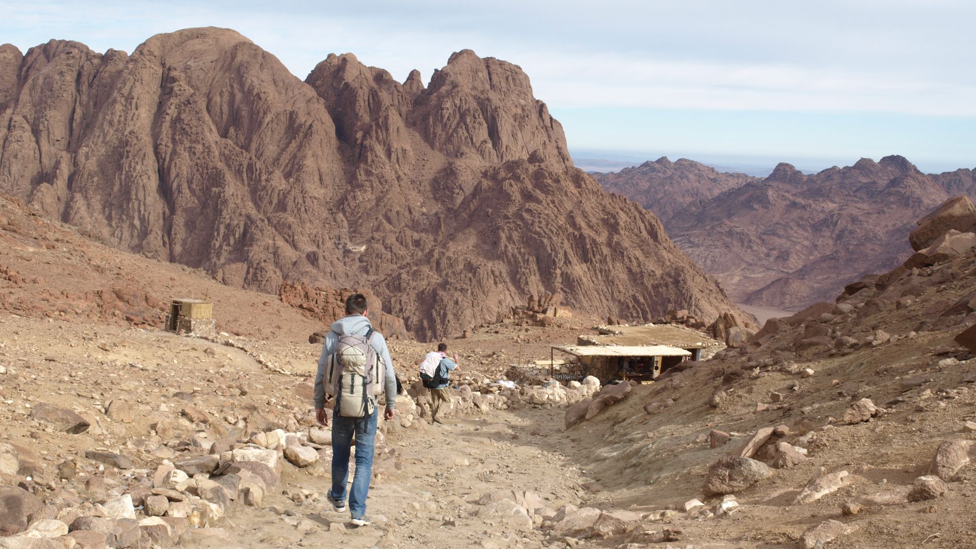
Locating Mount Sinai sounds easy until you look at the list of candidates. Scholars have proposed mountains in southern Sinai, northern Sinai, the Negev, Jordan, and northwestern Arabia. Researchers compare biblical travel stages, water supplies, terrain, ancient routes, and archaeological remains, but no identification commands universal agreement.
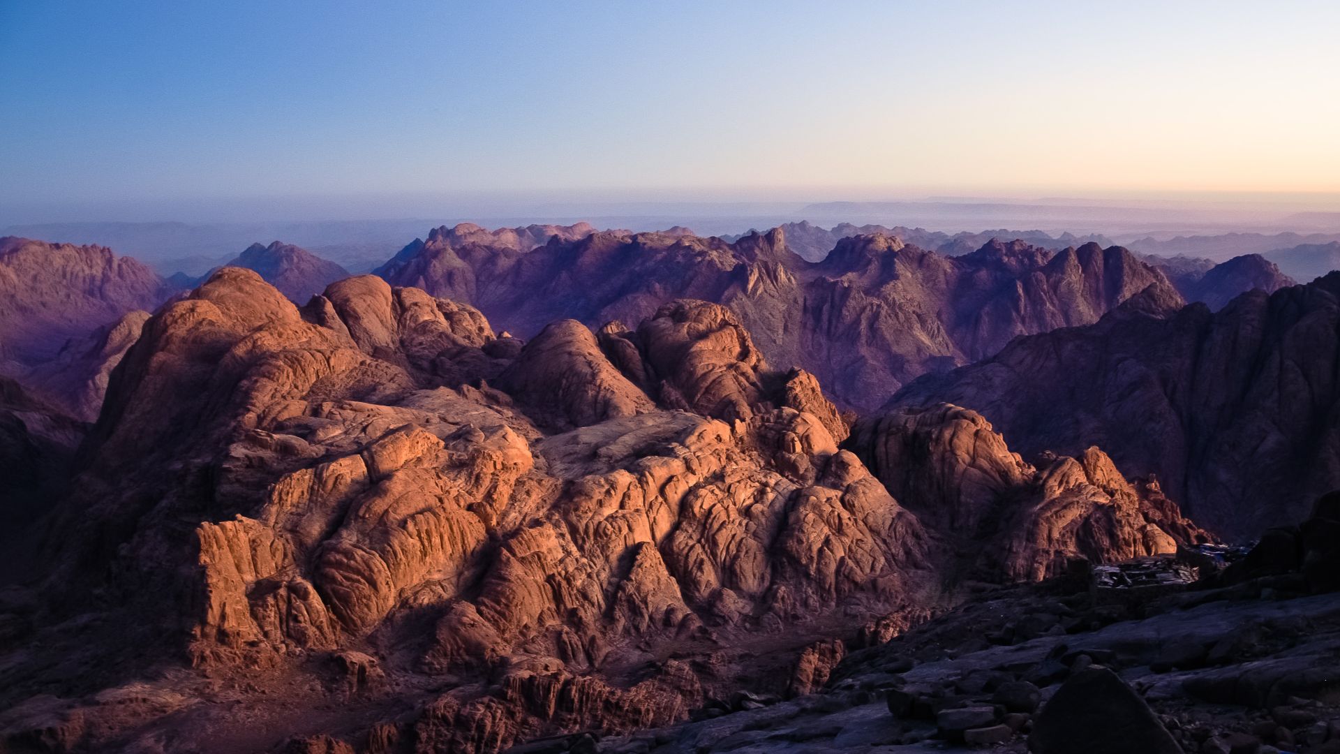 Mohammed Moussa, Wikimedia Commons
Jebel Musa Is Traditional, Not Proven
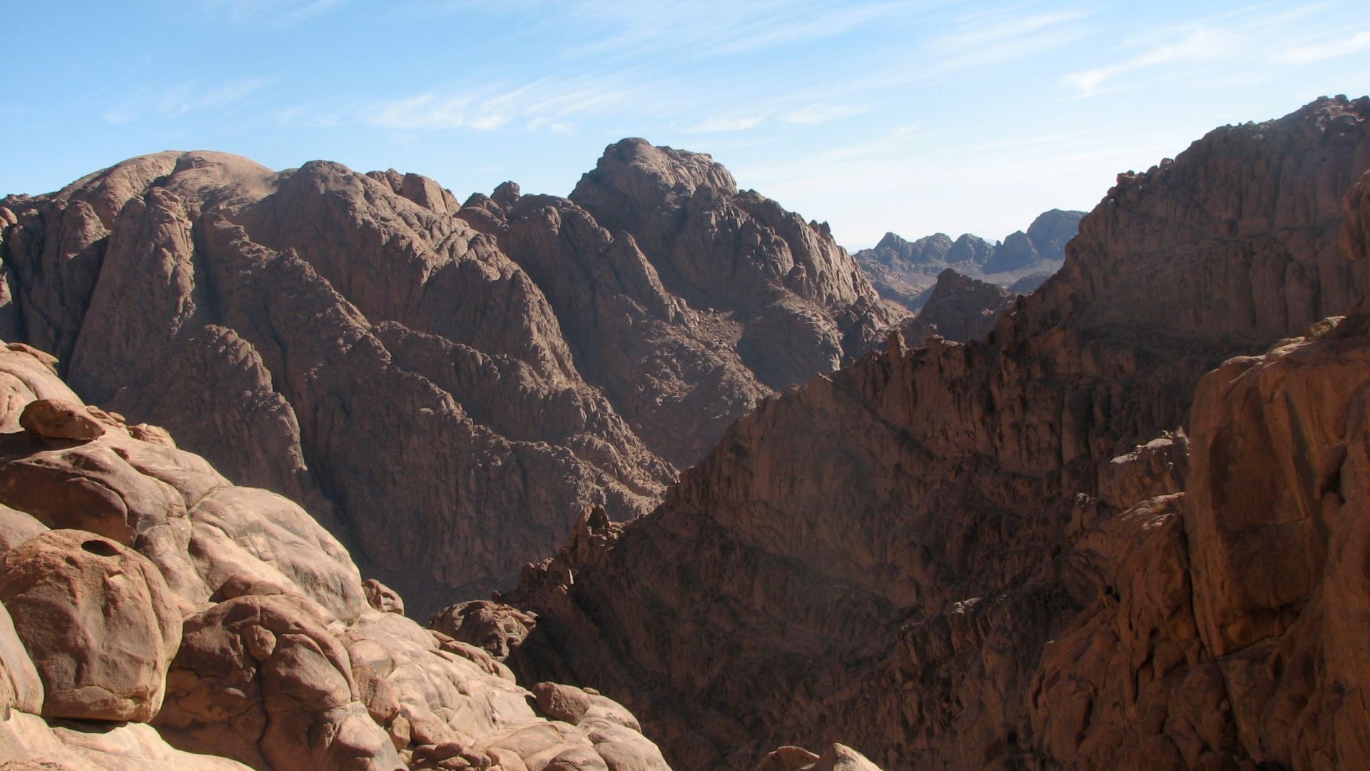
Jebel Musa, beside St. Catherine’s Monastery in southern Sinai, became the best-known traditional location. Its association is ancient, but it developed within Christian pilgrimage tradition many centuries after the period in which an Exodus would traditionally be placed. Archaeology has not produced a handy sign reading “Moses camped here.”
Har Karkom Complicates The Picture
Har Karkom in the Negev became another famous candidate after archaeologist Emmanuel Anati documented extensive prehistoric and Bronze Age ritual activity there. The problem is chronology: much of the material he emphasized predates conventional proposed dates for the Exodus by centuries, which has made his identification highly controversial.
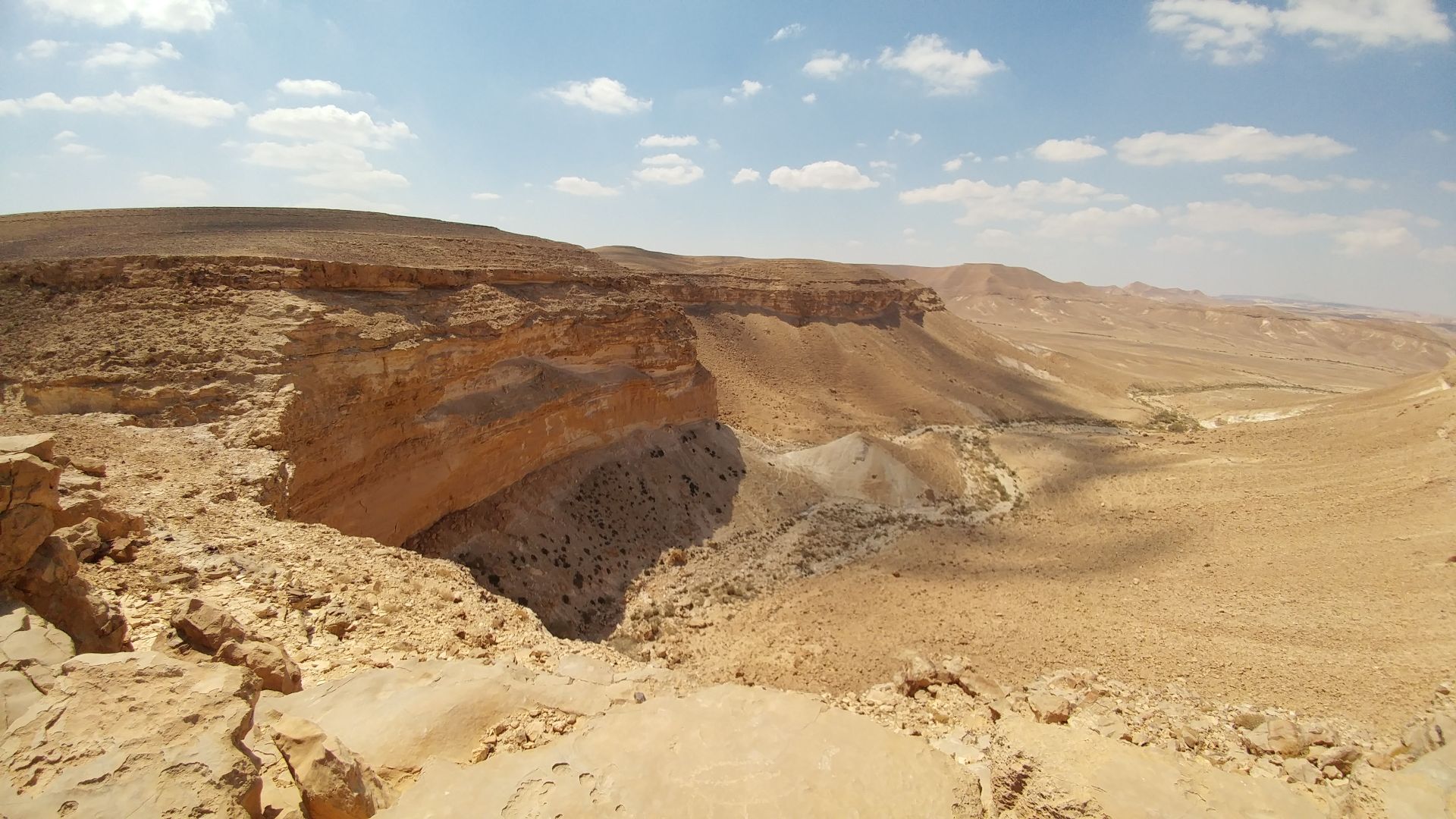
Kadesh-Barnea Is A Key Anchor
Biblical itineraries repeatedly bring the Israelites to Kadesh-Barnea, making its location crucial for reverse-engineering the wilderness journey. Researchers have frequently associated the area with the oasis region around Ain Qudeirat in northeastern Sinai, although connecting individual camps and stages between Egypt, Sinai, and Kadesh remains much harder.
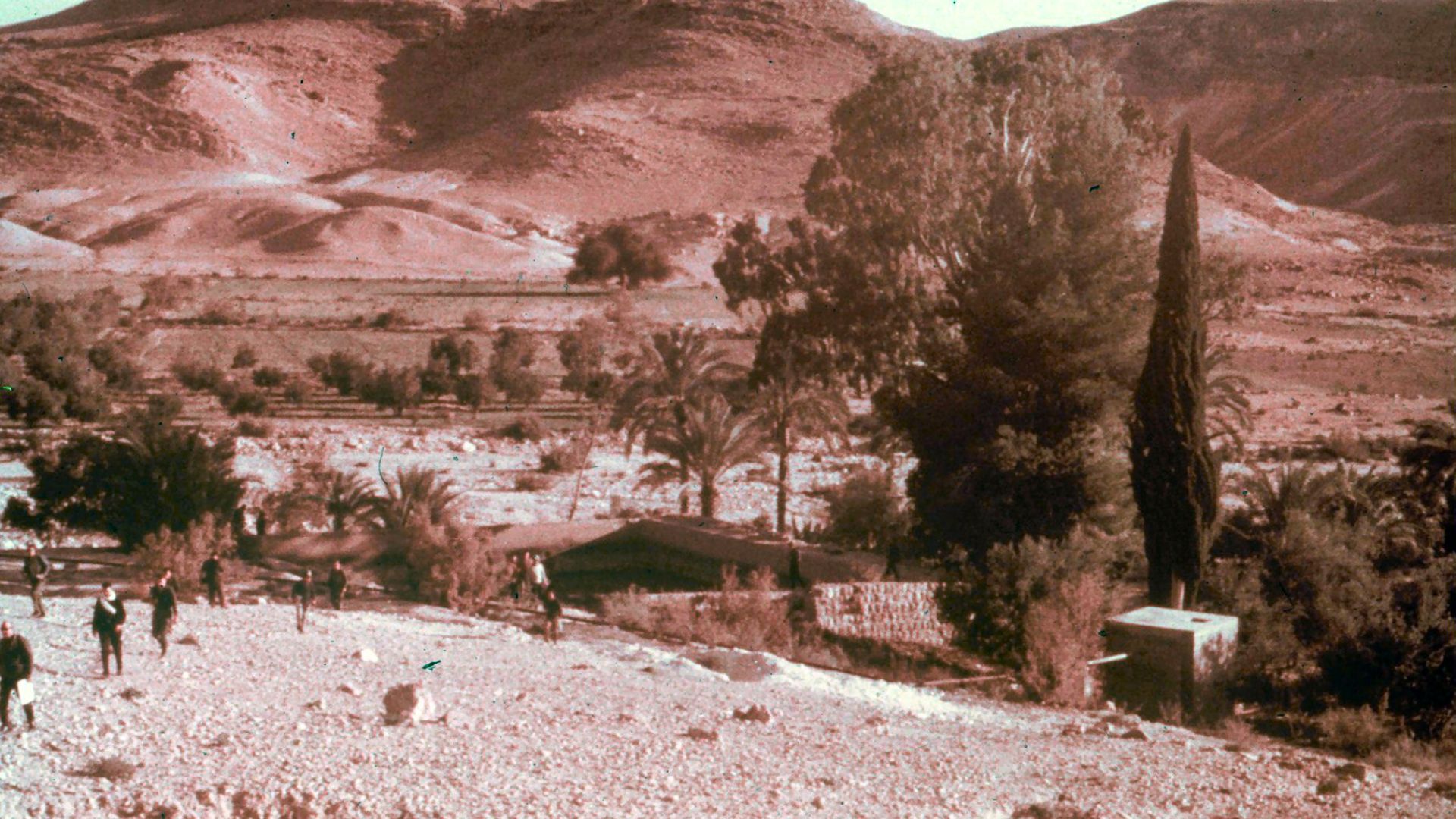 Roni Konigsberg, Wikimedia Commons
The Exodus Route Remains A Reconstruction
That is why serious maps should be read as reconstructions rather than ancient GPS tracks. Archaeology can show where Egyptian frontier settlements stood and where travelers could move through the landscape. It cannot presently demonstrate a continuous trail belonging specifically to Moses and the Israelites. The blank spaces remain important.
 Biblica, Inc, and Biblica Open Study Bible Resources, Wikimedia Commons
Abraham Starts With A Location Problem
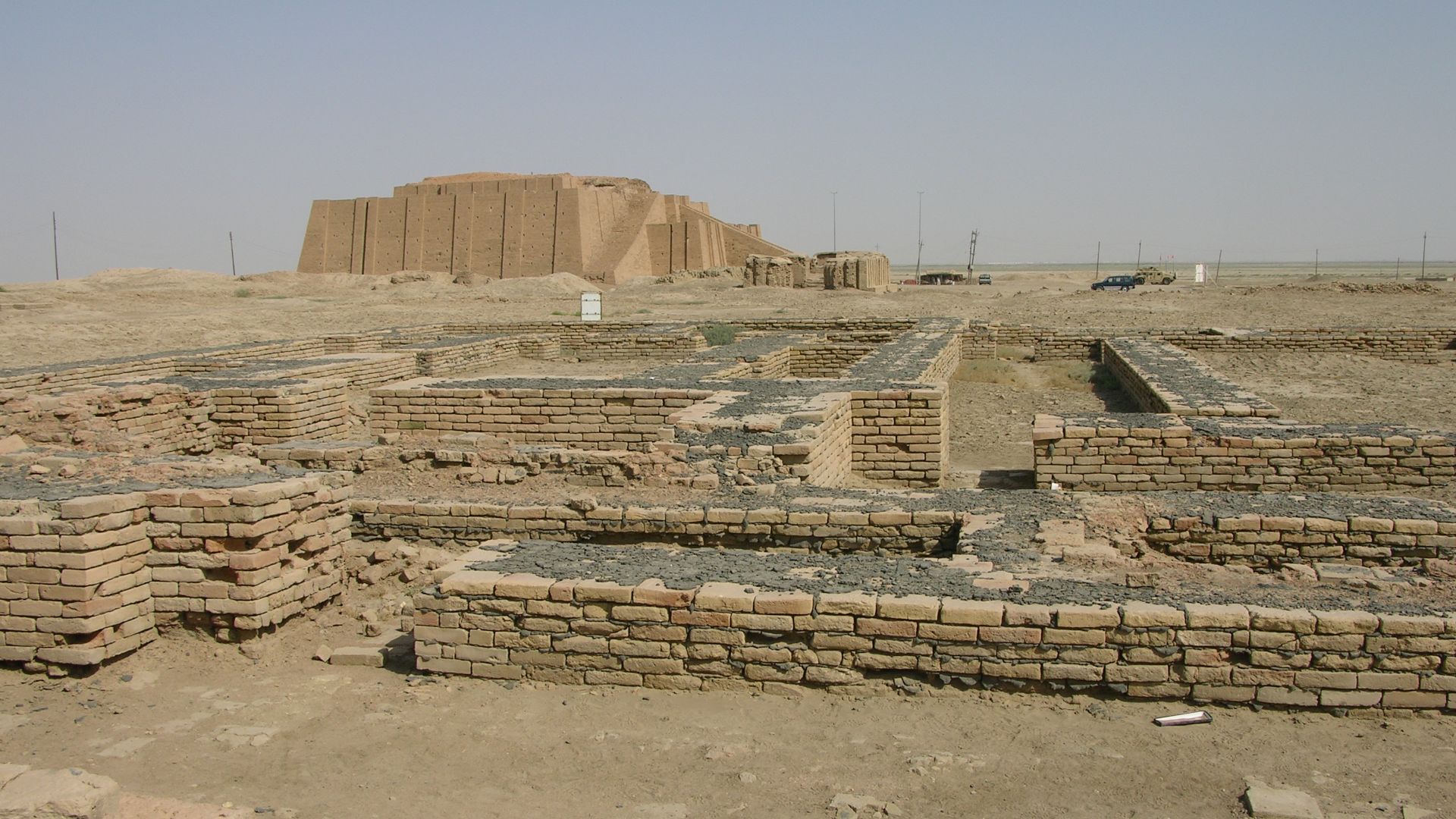
Abraham’s journey has trouble before he even takes his first step. Genesis says his family came from “Ur of the Chaldeans,” but scholars have long debated precisely which ancient Ur the text means. The famous Sumerian city at Tell el-Muqayyar in southern Iraq remains the most widely accepted candidate.
 M.Lubinski from Iraq,USA., Wikimedia Commons
Southern Ur Is Still The Leading Candidate
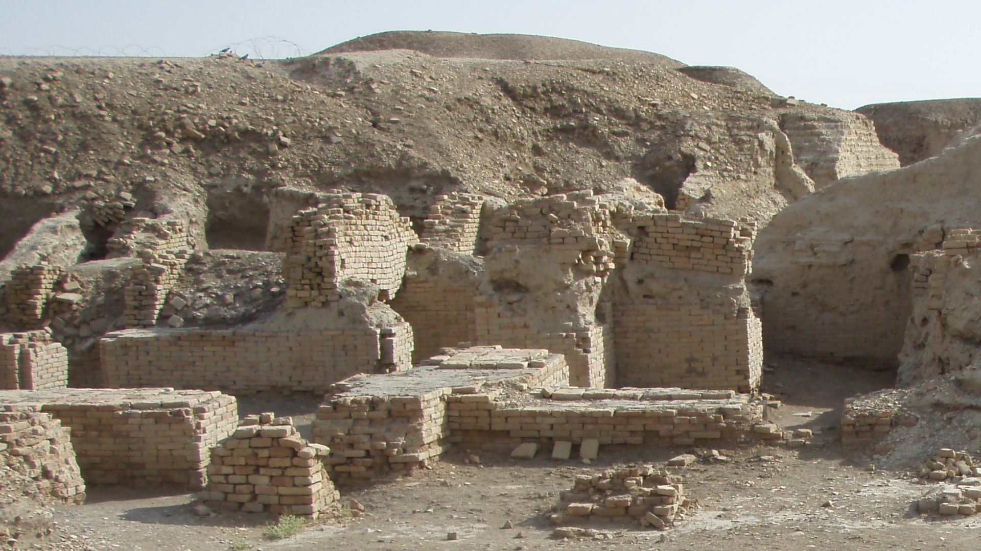
Excavations made ancient Ur spectacularly real, revealing temples, homes, graves, and evidence of a wealthy Mesopotamian city. That does not prove Abraham lived there. Archaeologists themselves have cautioned that no building or artifact from Ur can currently be connected personally to the biblical patriarch.
 Kaufingdude, Wikimedia Commons
Haran Is Far Less Mysterious
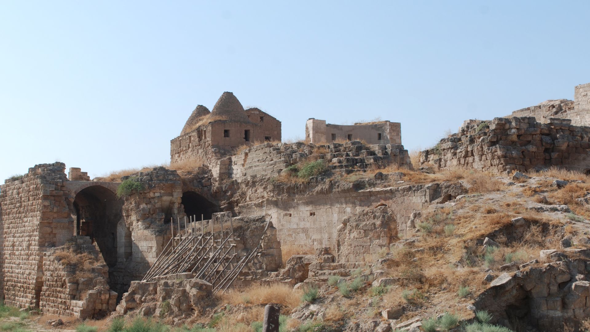
Haran is easier. Ancient Harran lies in southeastern Türkiye and occupied an important position on regional travel networks. Genesis places Abraham’s family there before the move toward Canaan. Even so, knowing two endpoints does not mean we possess the exact road that connected them.
The Fertile Crescent Makes The Long Route Logical
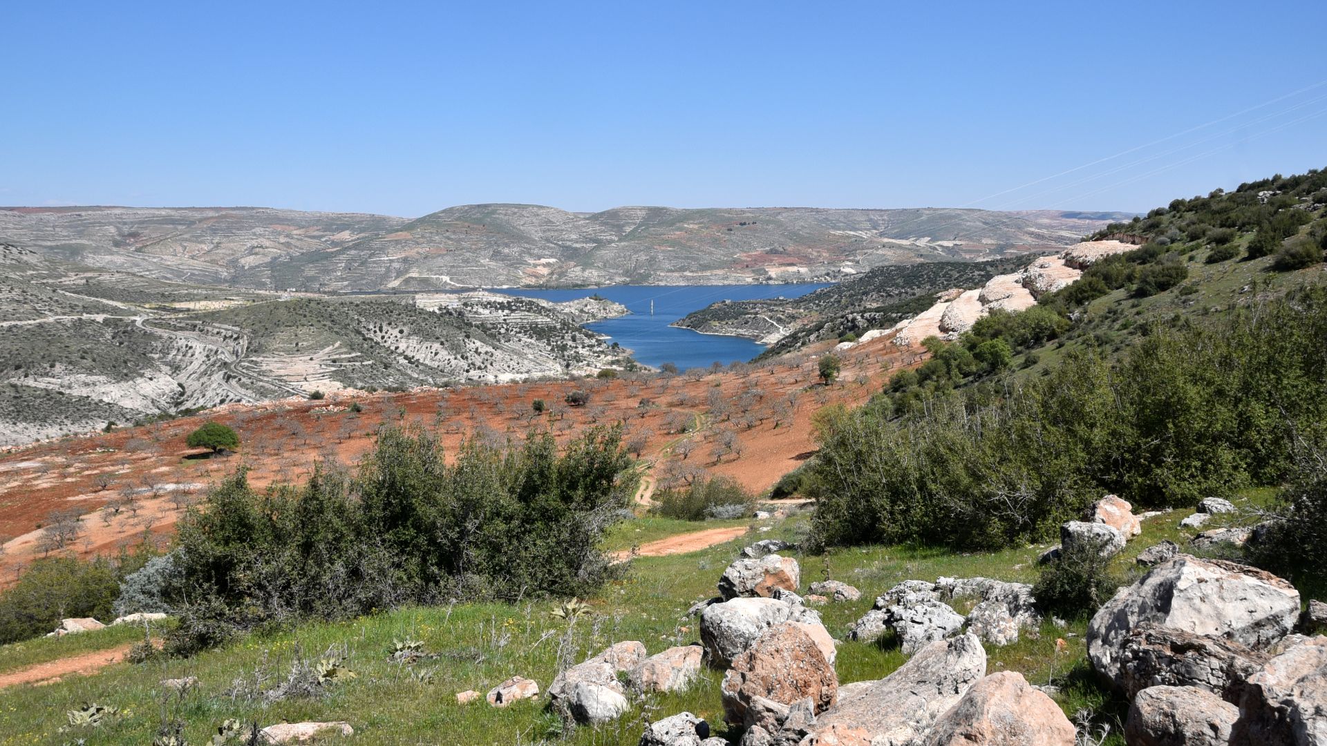
A traveler leaving southern Mesopotamia would normally have depended on rivers, towns, grazing land, and established corridors instead of charging straight across an unforgiving desert. Ancient routes running along the Euphrates connected Babylonia with northern Mesopotamia and Syria, giving historians a plausible framework for reconstructing Abraham’s journey.
 Carole Raddato from FRANKFURT, Germany, Wikimedia Commons
Canaan’s Ridge Road Fits The Patriarchal Geography
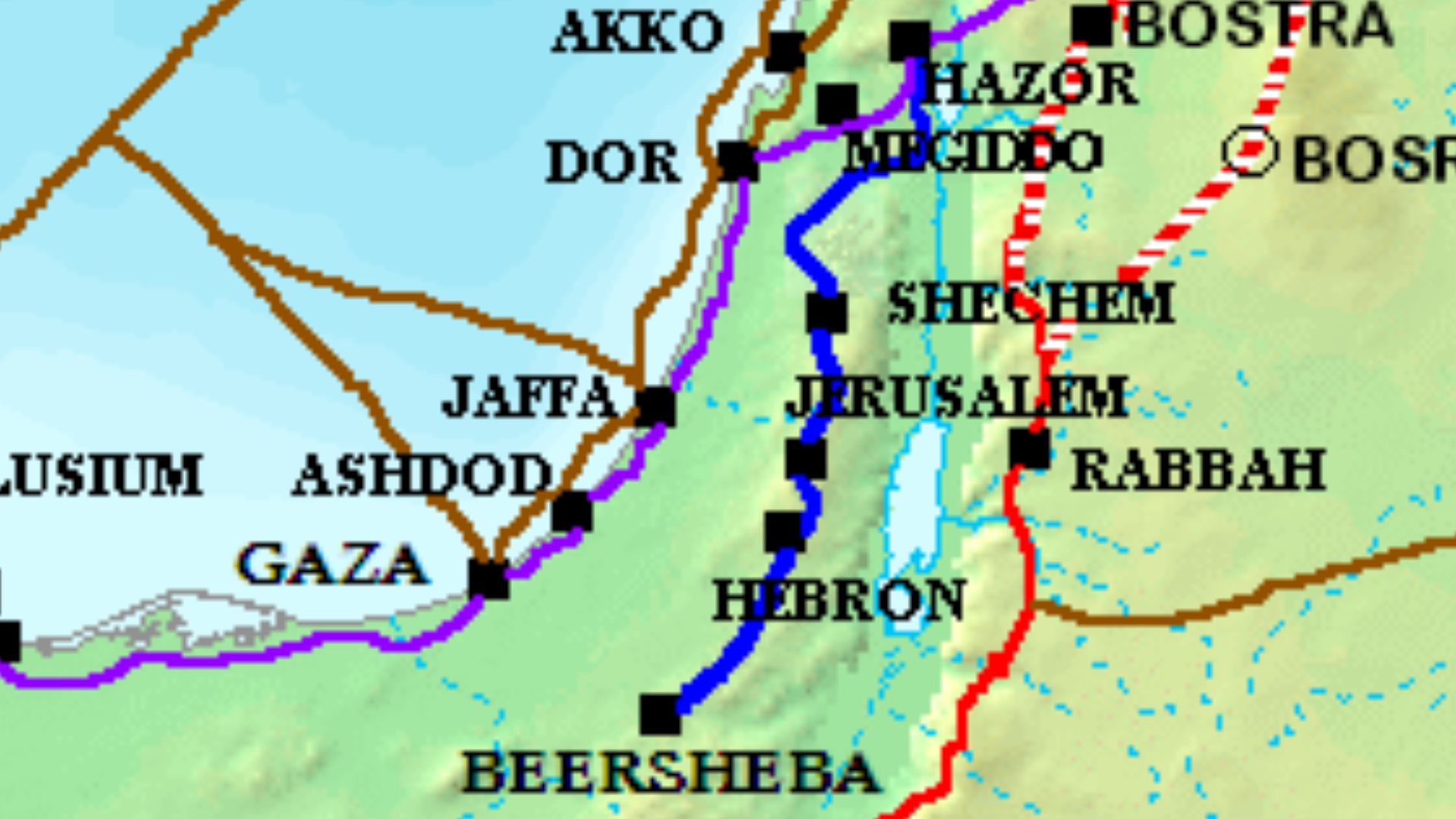
Genesis later places Abraham around Shechem, Bethel, Hebron, and Beersheba. Those locations fall along or near the central highlands of Canaan, where north-south movement naturally followed ridges and valleys. Archaeology can reconstruct that transportation landscape, even if Abraham himself remains beyond archaeology’s ability to track.
Jesus Had More Than One Road To Jerusalem
By the first century CE, travelers heading from Galilee to Jerusalem had options. Researchers have reconstructed three broad possibilities: a relatively direct central route through Samaria, an eastern route through the Jordan Valley and Perea, and a much longer western approach nearer the coastal plain.
 Daniel Ventura, Wikimedia Commons
The Samaria Shortcut Was The Fast One
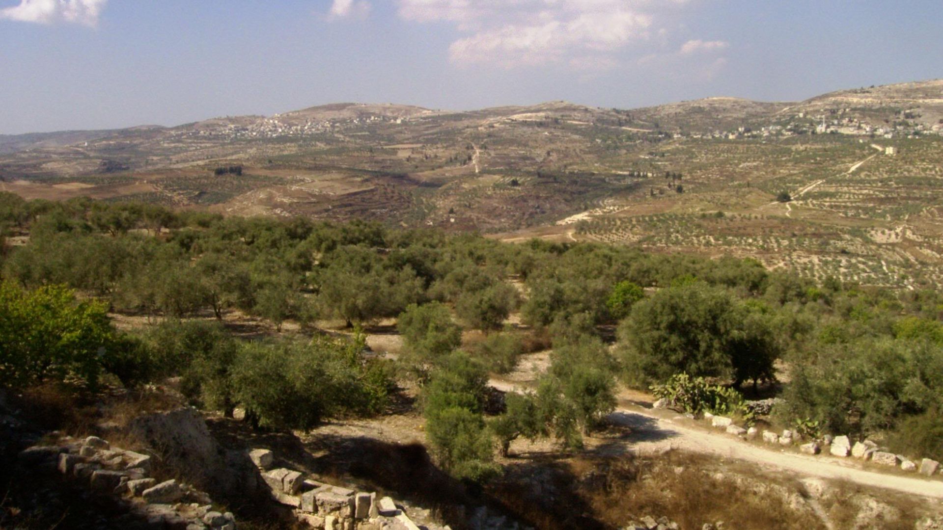
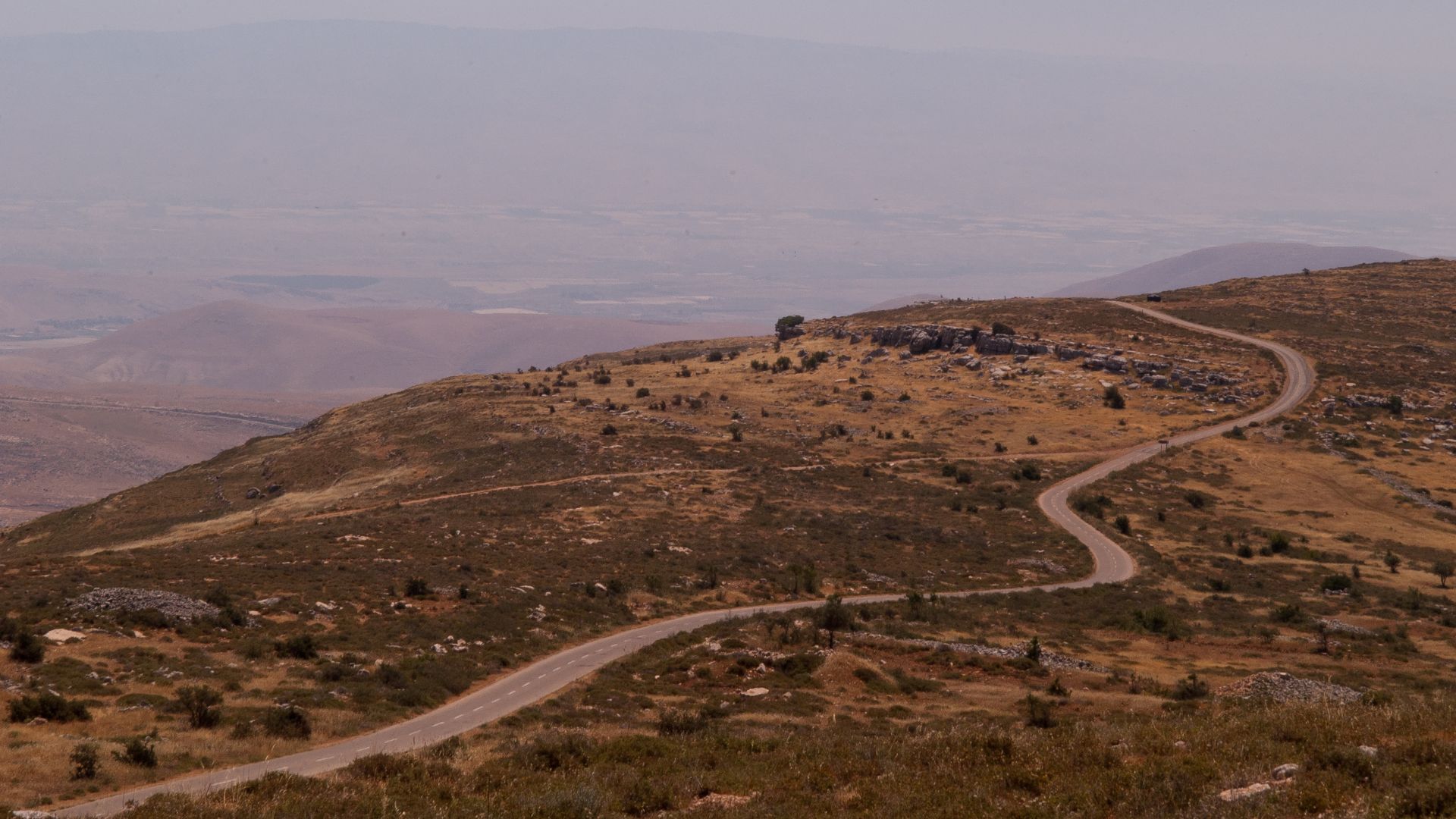
The central road through Samaria could take roughly three days under favorable conditions. It passed major places such as Shechem and Bethel. Gospel stories sometimes place Jesus in Samaria, showing that the region was certainly within his narrative geography, even though not every Jerusalem journey can be assigned to this route.
 Flavio~ from Mazkeret Batia, Israel, Wikimedia Commons
The Eastern Route Took The Long Way Around
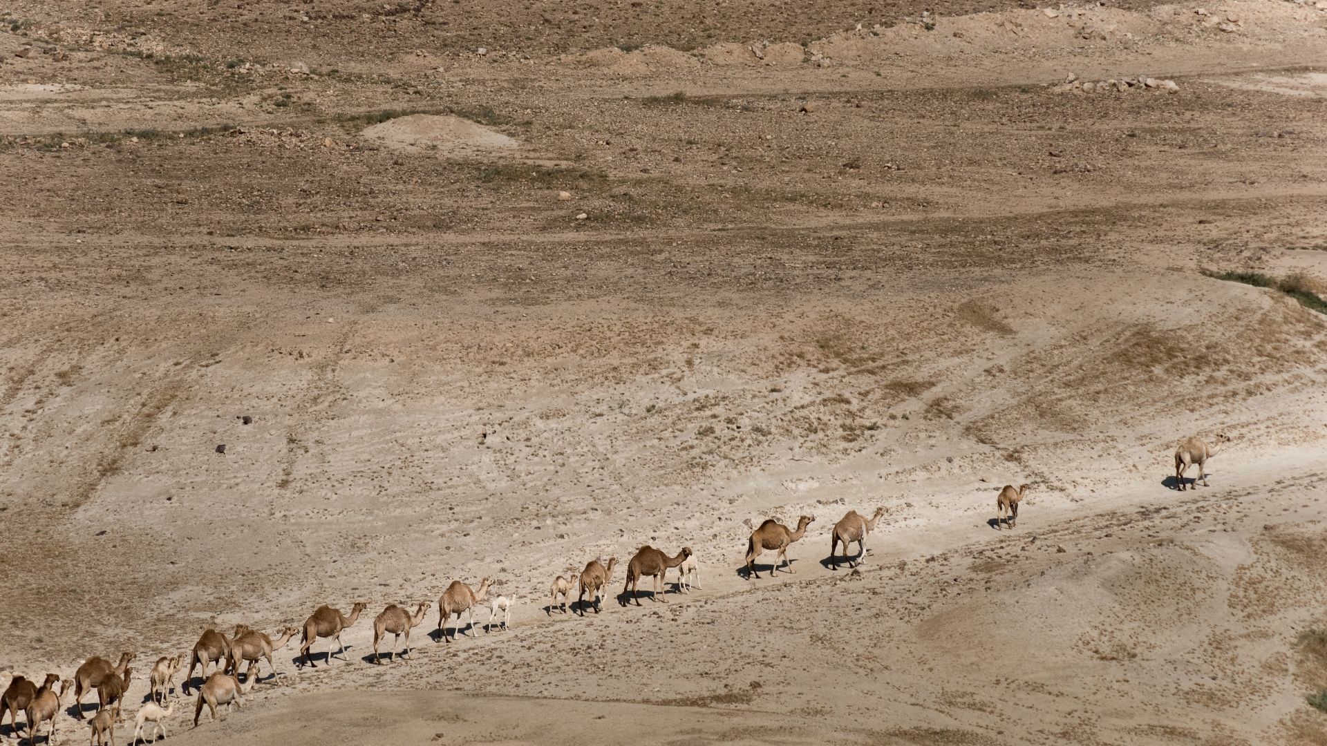
Another option dropped toward the Jordan Valley, passed through Perea, and approached Jerusalem from Jericho. It could add several days, but it connected travelers with established communities and avoided central Samaria. Ancient people, like modern drivers, did not always choose the route with the shortest mileage.
 Ishai Parasol from Israel, Wikimedia Commons
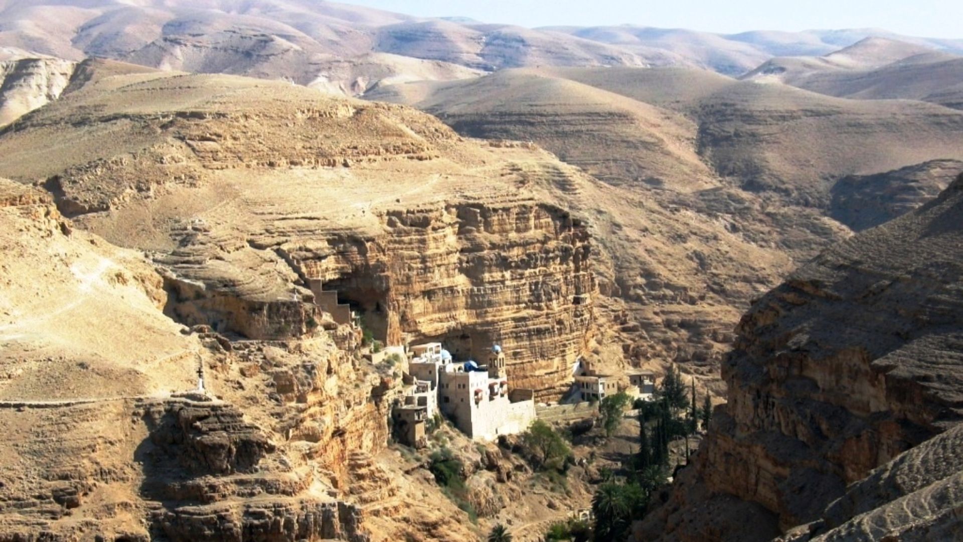
Jericho To Jerusalem Was No Easy Walk
Recent GIS research gives a sense of just how demanding biblical travel could be. The ancient Jericho-to-Jerusalem route covered roughly 29 kilometers and involved a serious climb. Researchers calculate that walking it could take around nine hours, making casual modern map distances rather deceptive.
Cana To Capernaum Can Be Tested With GIS
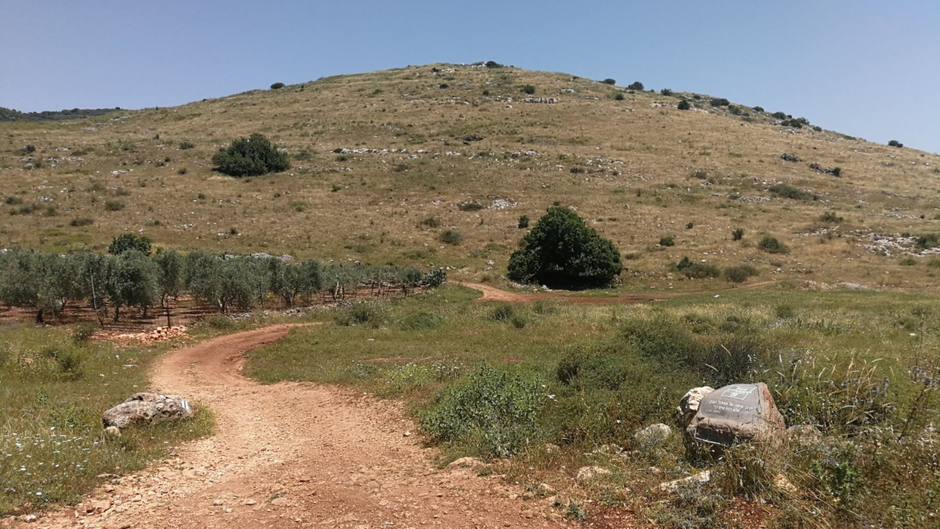
The same researchers modeled possible routes between Khirbet Qana, one proposed location for biblical Cana, and Capernaum. Two practical corridors emerge, one through Nahal Tsalmon and another using the Arbel Valley. Both could plausibly be completed during a long day of first-century travel.
Emmaus Is A Village Archaeologists Still Argue Over
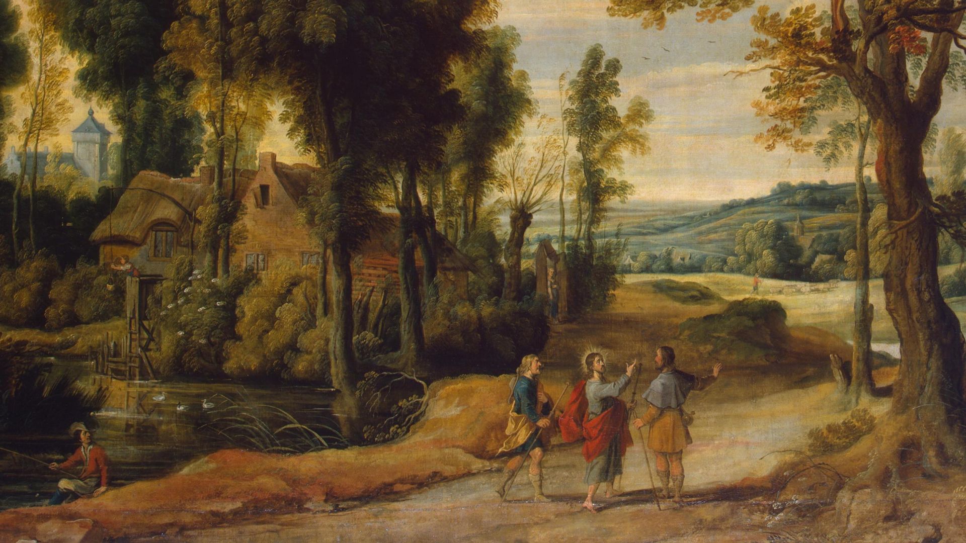
Luke describes two disciples walking from Jerusalem to Emmaus after the crucifixion. The problem is that the ancient village’s location remains uncertain. Several sites have been proposed over the centuries, leaving one of Christianity’s best-known walks attached to a destination archaeologists still debate.
 Jan Wildens, Wikimedia Commons
A Few Miles Can Change The Emmaus Candidate
The distance reported in ancient manuscripts matters enormously because different readings can point toward different sites. Researchers therefore juggle textual criticism, Roman roads, settlement archaeology, and walking distances. Emmaus is a perfect example of how one apparently simple biblical travel detail can produce generations of argument.
 National Cancer Institute, Unsplash
Paul’s Road To Damascus Is Not One Road
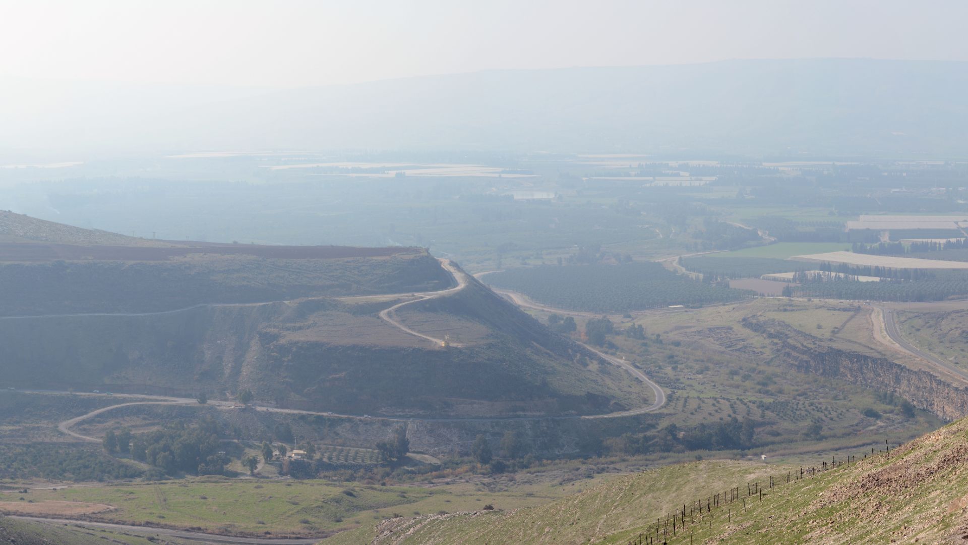
“The road to Damascus” sounds like the name of one perfectly identifiable highway. In reality, Jerusalem and Damascus could be connected through more than one corridor. Ancient travelers might move through Samaria and Galilee or use routes east of the Jordan before turning north toward Syria.
Damascus Is Easier Than The Road
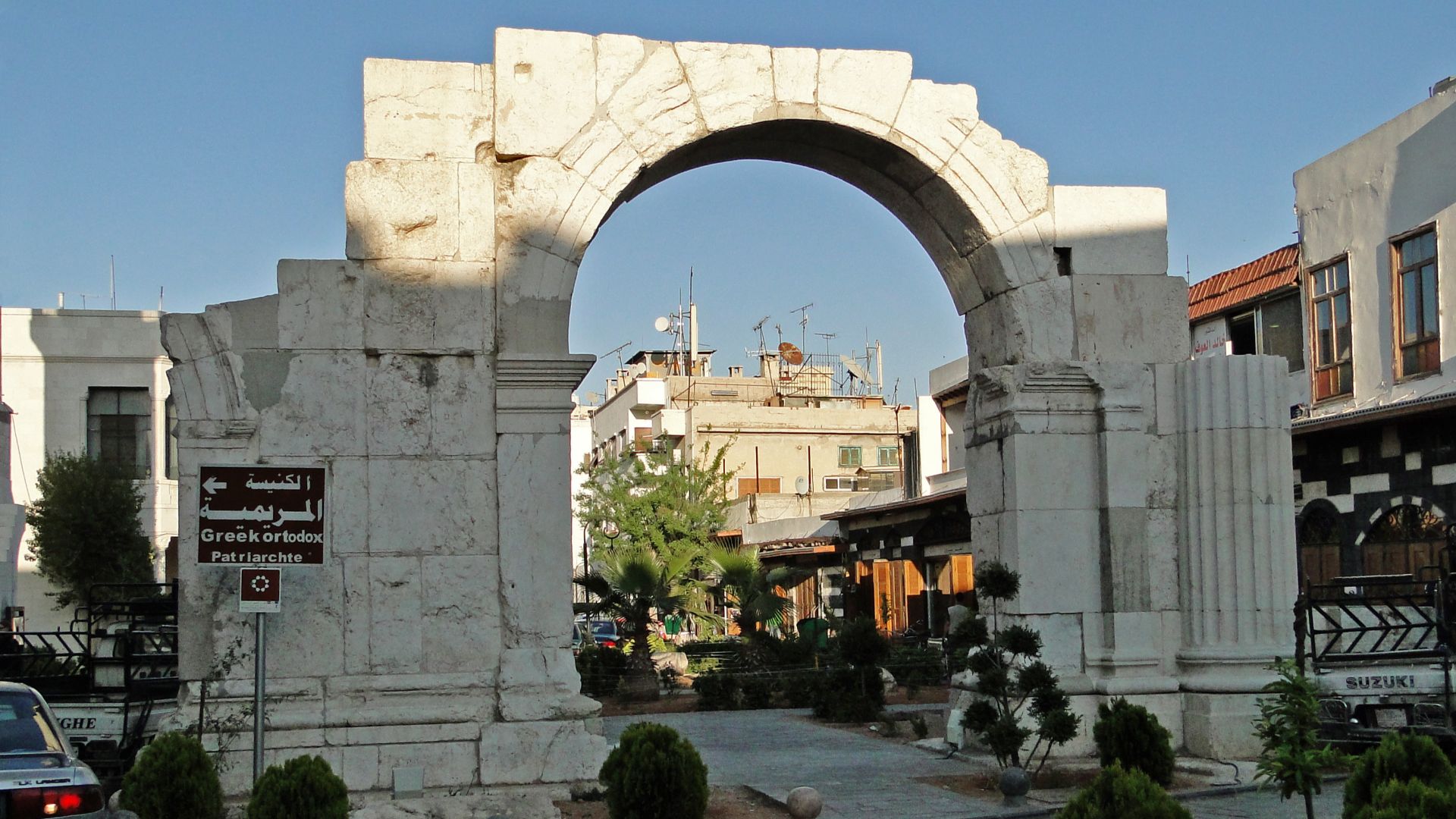
Damascus itself is hardly missing from the map. Acts even places Paul on the famous Straight Street after his arrival, an ancient thoroughfare whose general line remains recognizable. What archaeology cannot currently identify is the precise spot outside Damascus where Acts says Paul experienced his dramatic conversion.
 Bernard Gagnon, Wikimedia Commons
Paul’s Hardest Route Puzzle May Be In Turkey
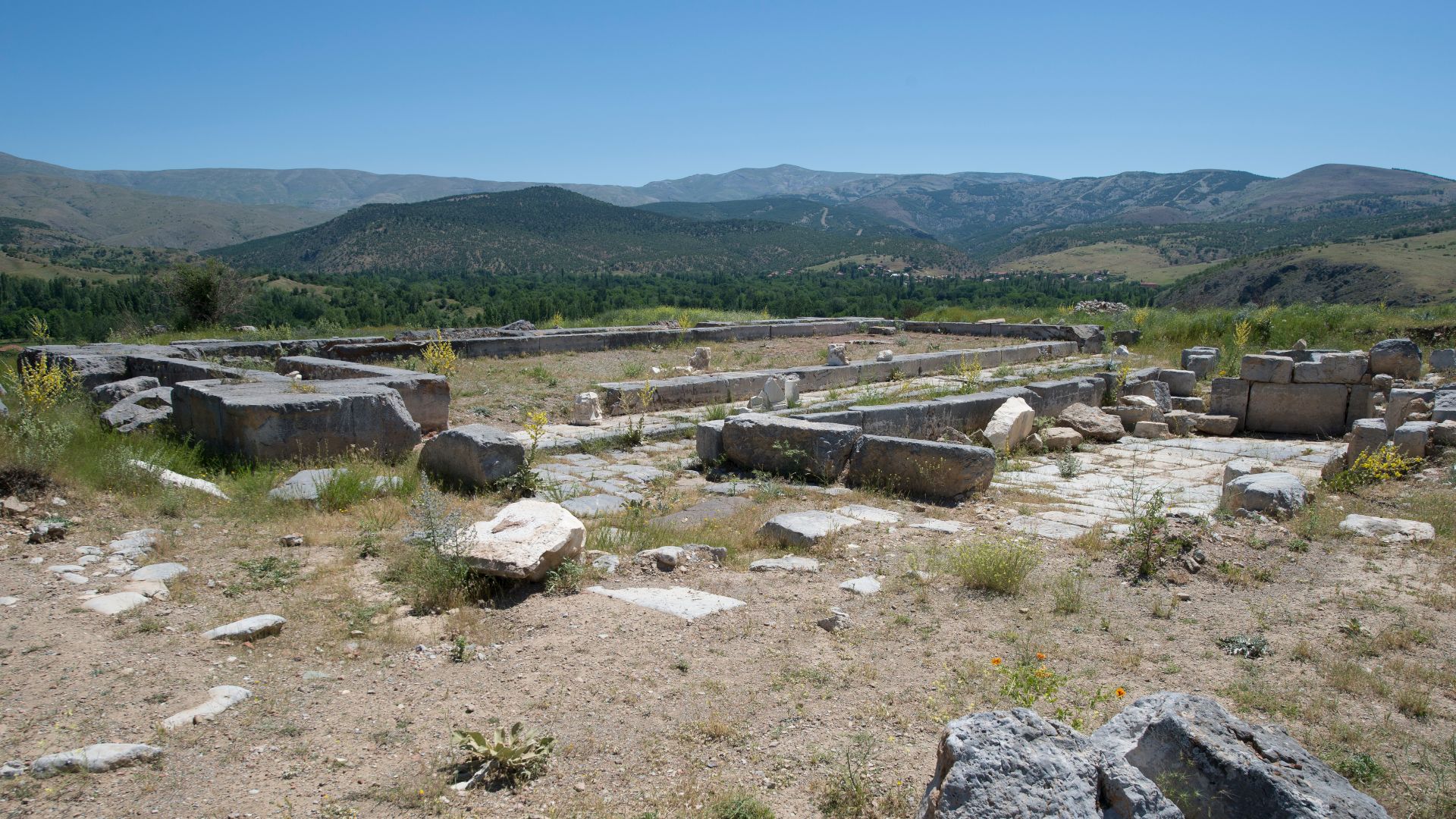
Acts says Paul traveled from Perga to Pisidian Antioch in Asia Minor. Scholars still debate exactly how he crossed the rugged landscape between them. A detailed academic study identified three competing routes and compared them using geography, historical evidence, and the known Roman road network.
Roman Roads Are The Archaeologist’s Secret Weapon
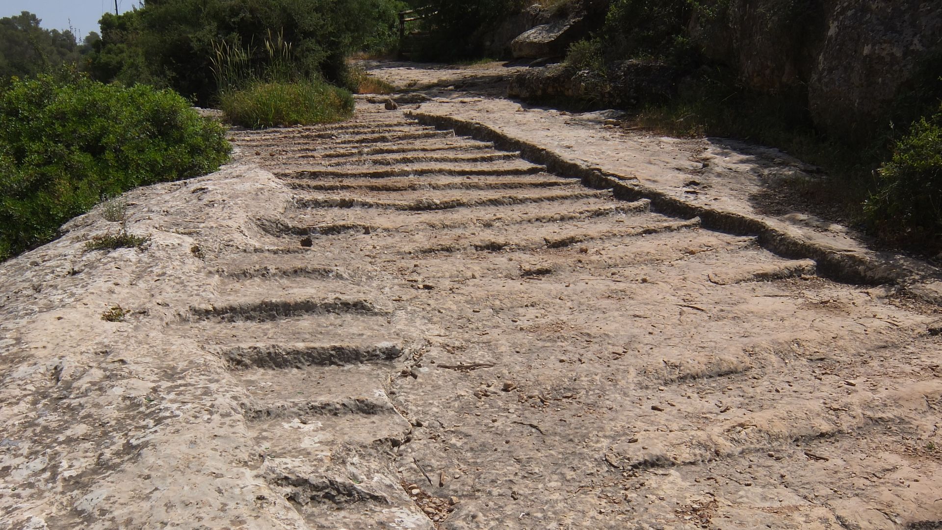
Roman milestones, paving, bridges, road cuttings, and roadside settlements can dramatically narrow the possibilities for New Testament journeys. Similar work around Jerusalem now combines excavated road sections with GIS analysis, revealing how pilgrimage, commerce, and imperial administration shaped the routes biblical travelers would have known.
The Map Is Still Being Drawn
The most fascinating biblical routes are not necessarily the ones archaeology has “proved.” They are the ones where texts, ruined roads, deserts, mountains, and ancient cities almost fit together—but leave just enough uncertainty to keep researchers searching. Every excavation or new digital map has the potential to redraw the journey again.
You May Also Like:
Things Canadians Notice Immediately When They Drive Through The American Southwest
Top Five Restaurants In The World
The U.S. Cities That Canadians Say Are Better Tourist Destinations Than They Expected