
The Sea Keeps Better Secrets Than The Desert
Lost cities do not always disappear beneath sand. Sometimes the ocean simply moves in and refuses to leave. Today, sonar and other acoustic mapping technologies let archaeologists search water too dark, deep, or muddy for ordinary cameras—revealing streets, temples, harbors, and walls that can look eerily familiar.
There Is One Important Catch
A completely unknown ancient city discovered solely by sonar is surprisingly rare. Historical texts, fishermen, divers, or local traditions often provide the first clue. What sonar frequently does is far more important: it proves that ruins survive, locates them precisely, and reveals the scale of places nobody could properly see before.
 Oleksandr (Alex) Zakletsky, Wikimedia Commons
How Sonar Finds A Lost City
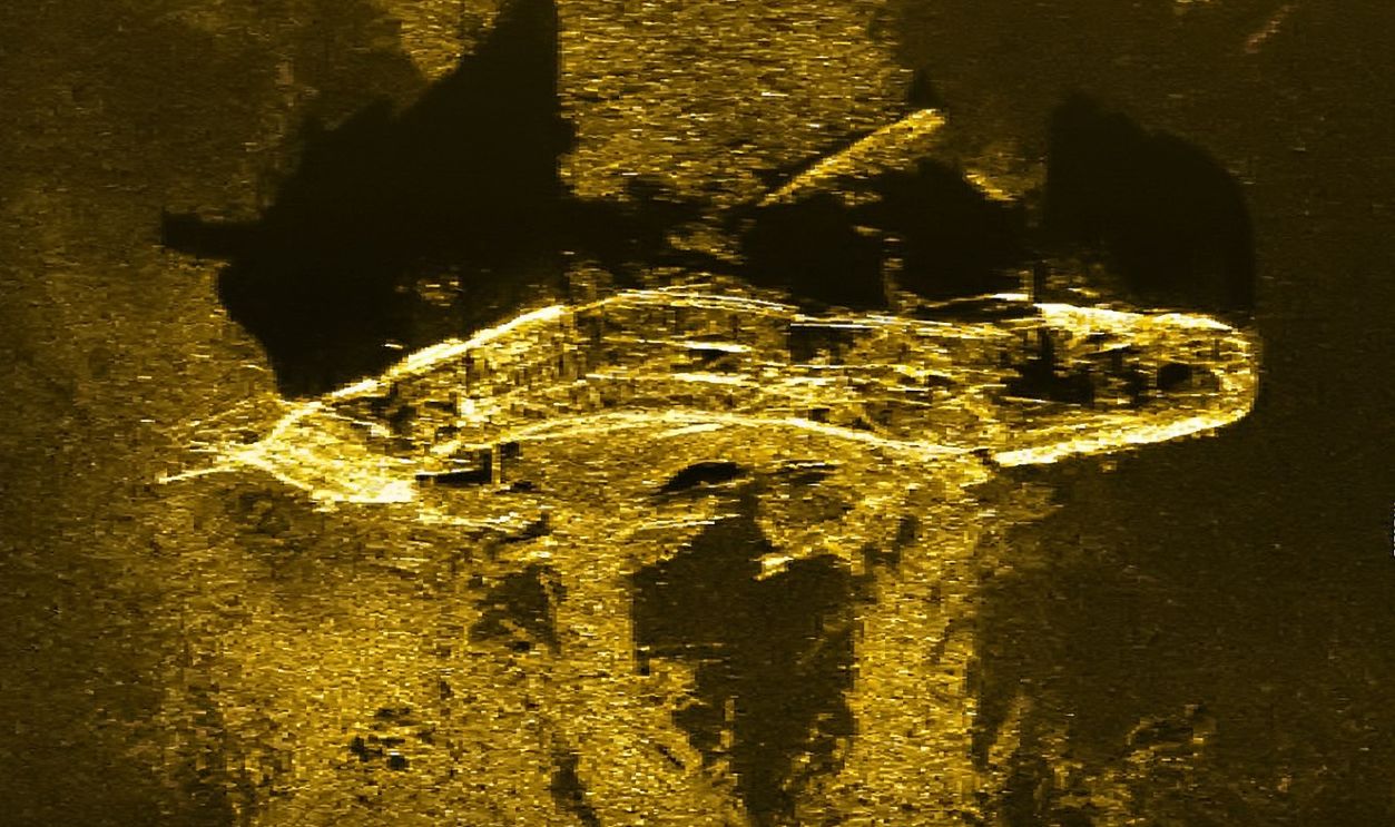
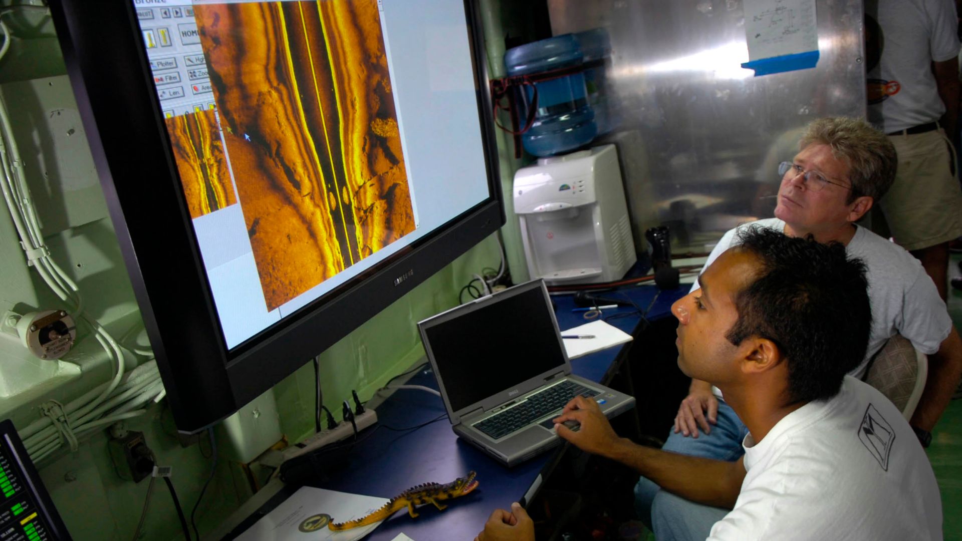
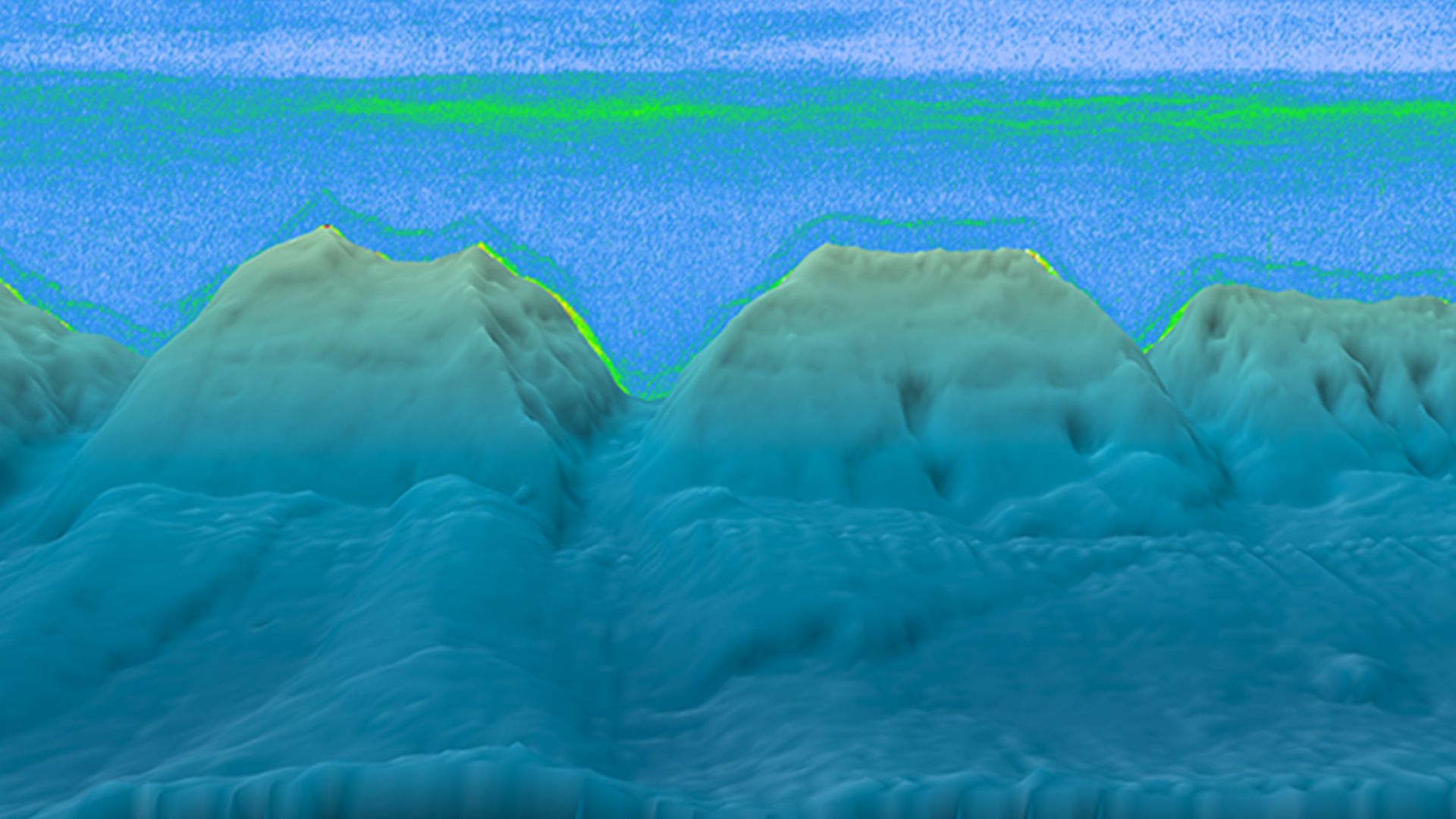
Sonar sends sound toward the seabed and measures what bounces back. Side-scan sonar produces remarkably detailed images of surface features, while multibeam systems create three-dimensional maps. Walls and buildings can suddenly stand out from apparently featureless mud like somebody switched on the lights in an extremely inconvenient basement.
 Australian Transport Safety Bureau, Wikimedia Commons
Thonis-Heracleion Was Almost A Legend
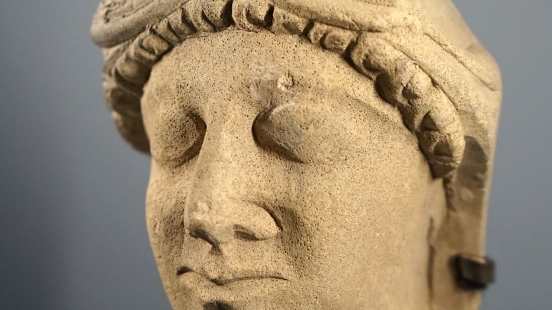
Ancient writers mentioned the Egyptian port of Thonis-Heracleion, once located near the Nile's mouth. Yet before its rediscovery in 2000, archaeologists had never located the city itself. Its surviving reputation was largely confined to ancient texts and scattered inscriptions.
 Jean-Pierre Dalbéra, Wikimedia Commons
The Search Area Was Enormous
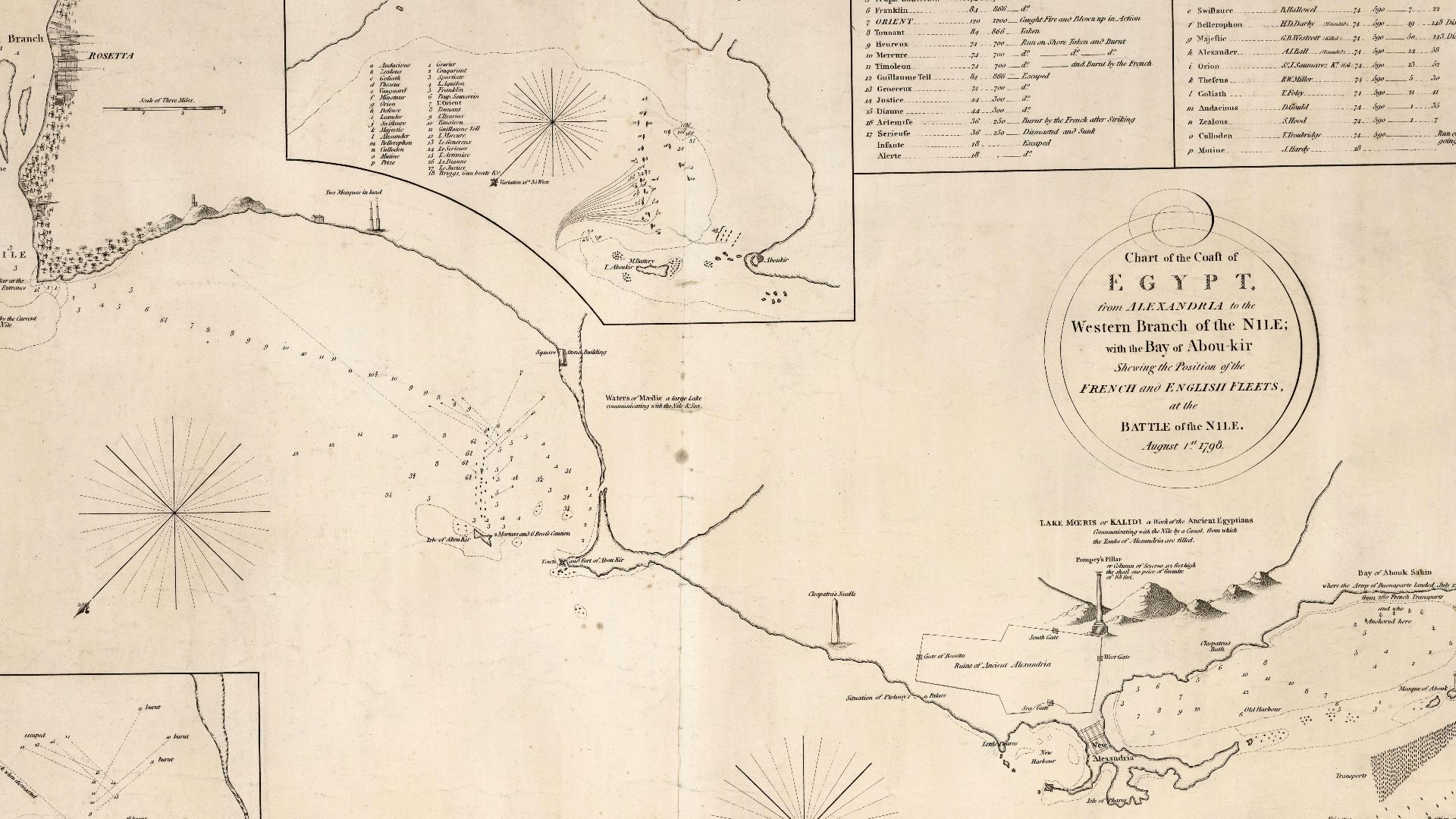
Franck Goddio's European Institute for Underwater Archaeology began surveying Aboukir Bay in 1996. The investigators faced an enormous search zone filled with sediment. Eventually their electronic and geophysical surveys revealed archaeological targets roughly 6.5 kilometres from the modern coastline.
 Arrowsmith, Aaron, Wikimedia Commons
A City Began Appearing Below The Mud
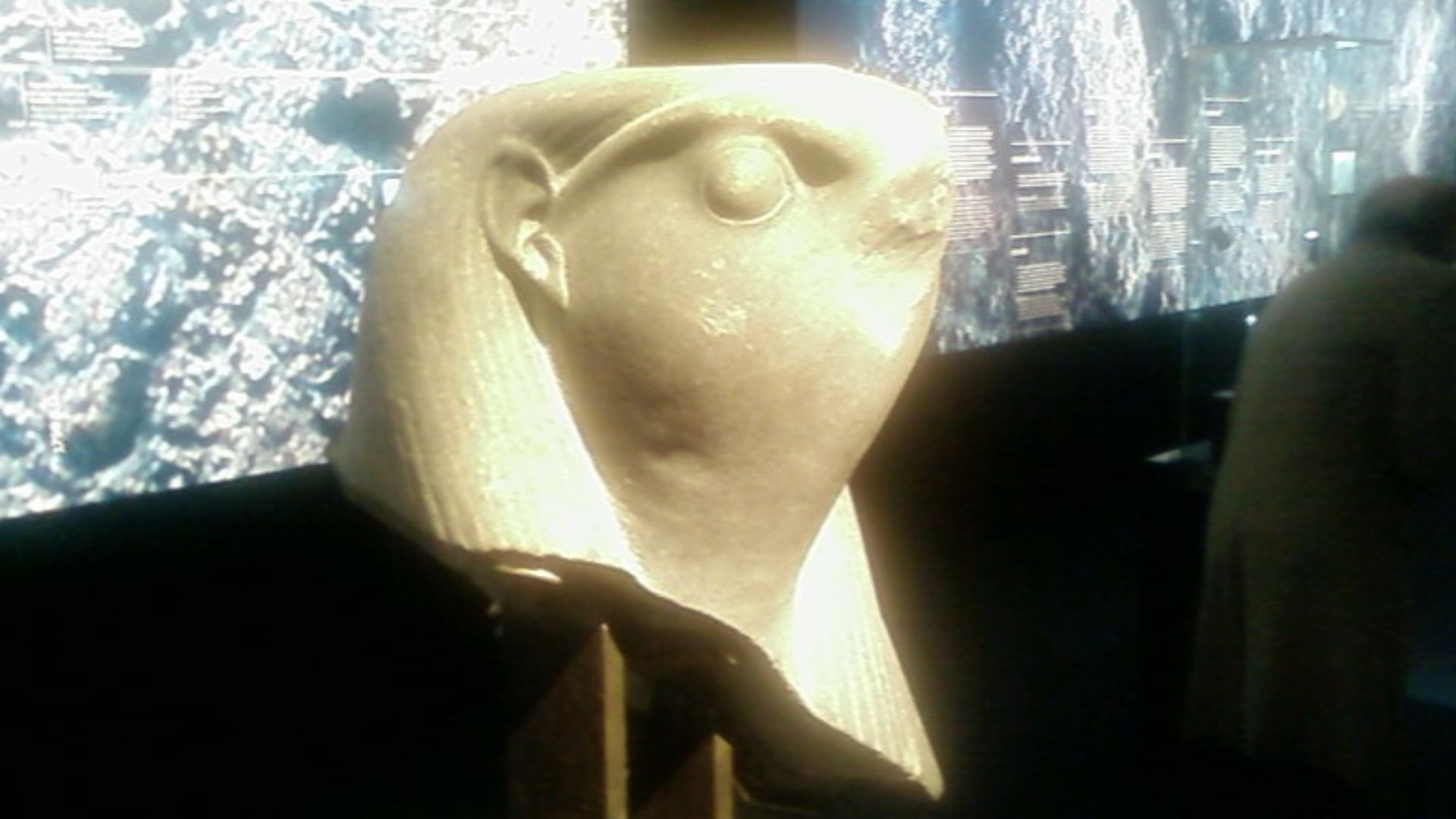
The first major discoveries came in 2000. What emerged was no lonely temple or accidental pile of stones, but the remains of a substantial port city complete with harbors, religious buildings, monuments, and countless objects from everyday life. Suddenly Herodotus sounded considerably less mysterious.
The Technology Keeps Finding More
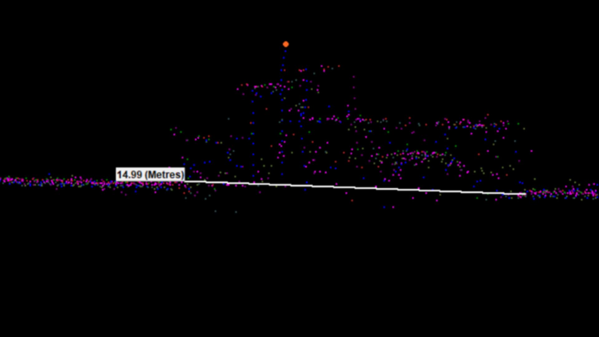
Modern acoustic equipment continues to reveal features hidden beneath sediment at Thonis-Heracleion. Archaeologists have used scanning systems capable of detecting buried objects, allowing divers to investigate promising targets rather than blindly searching acres of murky seabed. It is archaeology with considerably better directions.
Thonis-Heracleion Did Not Sink Overnight
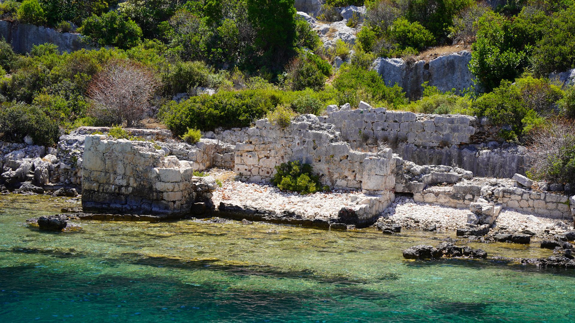
The city's disappearance appears to have involved a nasty combination of unstable ground, geological changes, rising water, and catastrophic events. By around the eighth century AD, the city was completely submerged. Buildings that once welcomed Mediterranean traders ended up underneath roughly ten metres of water.
 JamesDavidShoots, Wikimedia Commons
Canopus Was Waiting Nearby
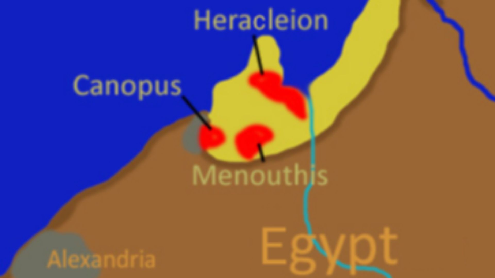
Thonis-Heracleion was not alone. Ancient Canopus also disappeared beneath Aboukir Bay. Modern investigations have documented extensive ruins there, including column fragments, architectural blocks, Byzantine artifacts, and the foundations of an enormous wall buried beneath nearly two metres of sand.
 ChrisOsenbruck, Wikimedia Commons
Sound Helped Rebuild The Lost Landscape
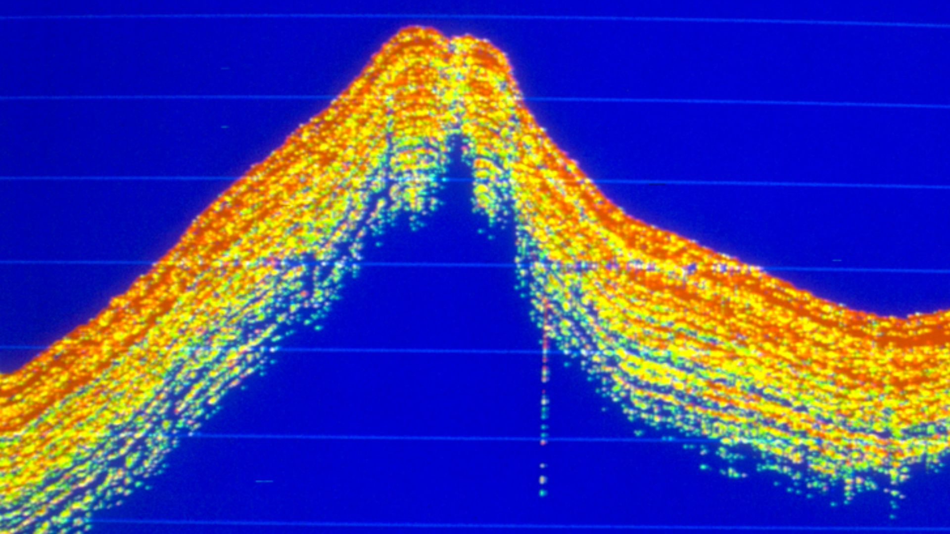
Later geophysical work in Aboukir Bay employed sediment sounders to understand the buried landscape around Canopus and Thonis-Heracleion. Instead of merely finding attractive statues, researchers could begin reconstructing canals, shorelines, structures, and the relationship between two entire drowned cities.
Alexandria Lost Part Of Itself Too
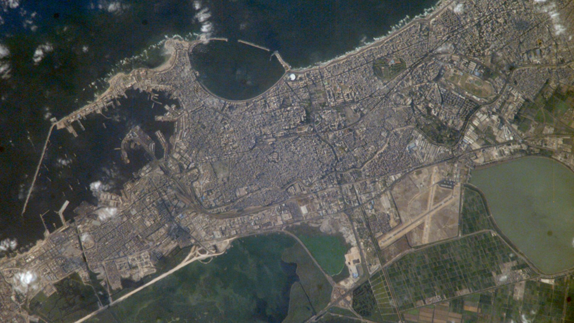
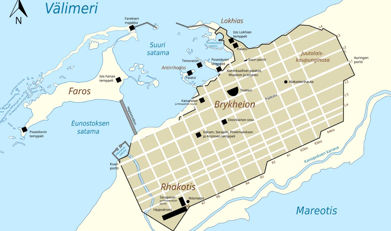
Even mighty Alexandria was not immune. Sections of its famous ancient harbor and royal districts sank beneath the Mediterranean. Beginning in 1992, researchers carried out extensive electronic surveys across roughly 400 hectares of the Eastern Harbor before investigating targets beneath the sediment.
Portus Magnus Returned As A Map
Those surveys produced something ancient writers could never provide: a detailed modern map of Alexandria's Portus Magnus. Archaeologists discovered that the ancient harbor's actual layout differed substantially from previous reconstructions. The sea had hidden an entire chapter of Alexandria's geography in plain sight.
Taposiris Magna Delivered A New Surprise
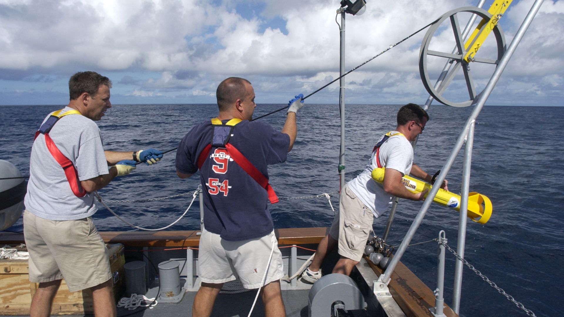
In 2025, another Egyptian underwater investigation made headlines near Taposiris Magna, west of Alexandria. Kathleen Martínez and Robert Ballard's team used sonar to map the seabed and identified massive man-made structures offshore, sending divers down to investigate what the acoustic images had revealed.
 U.S. Navy photo by Chief Journalist John F. Williams, Wikimedia Commons
Sonar Found A Port, Not Cleopatra
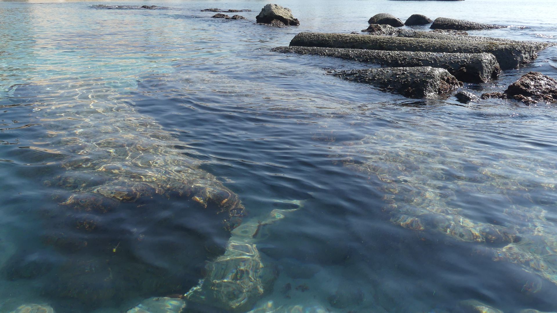
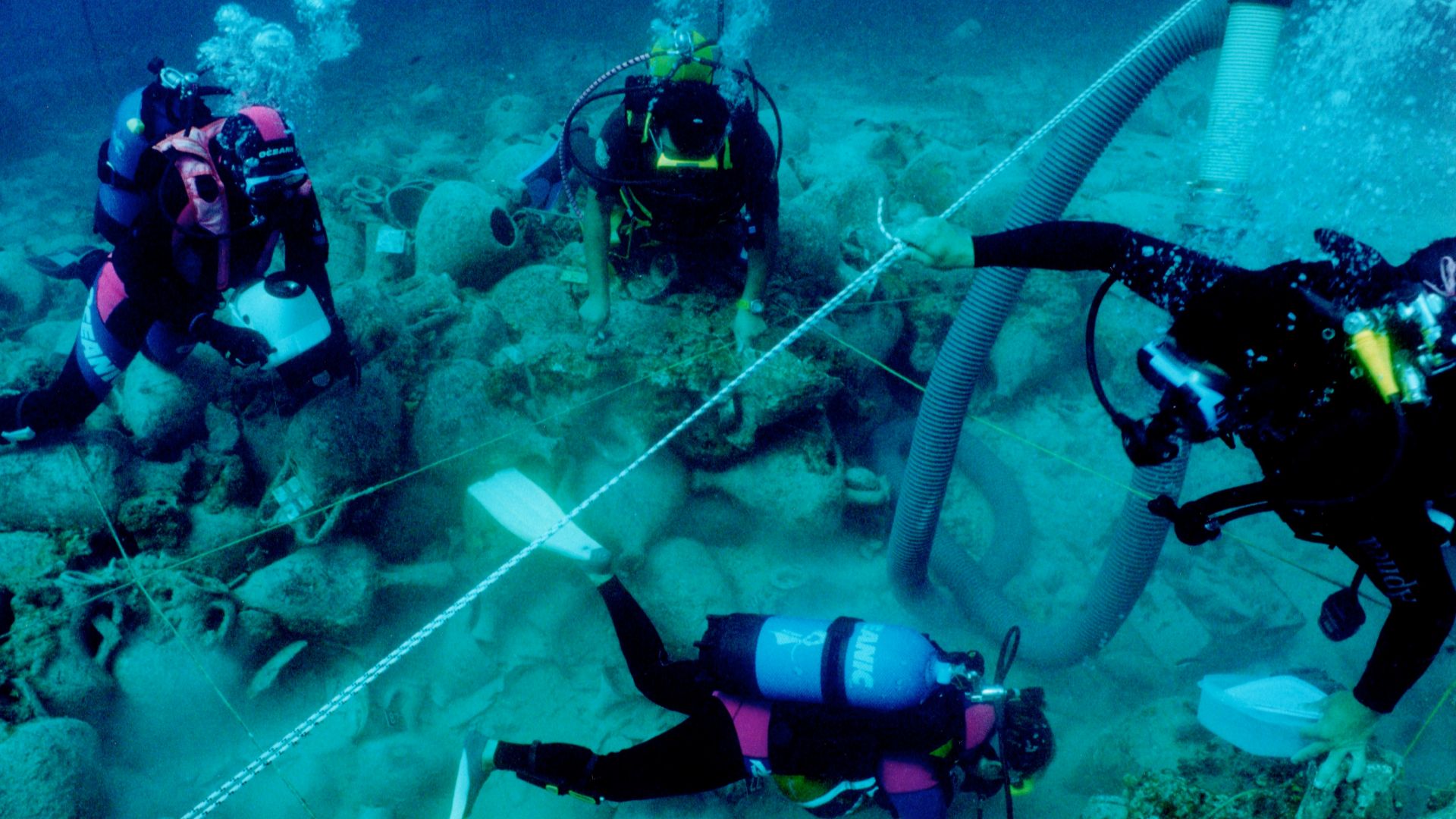
Divers encountered columns, anchors, amphorae, polished stone surfaces, and huge constructions arranged beneath the Mediterranean. The evidence points toward a previously unknown ancient port associated with Taposiris Magna. It has fueled interest in Cleopatra's era, although Cleopatra's tomb itself remains stubbornly missing.
 RomanDeckert, Wikimedia Commons
Dunwich Slowly Fell Into The North Sea
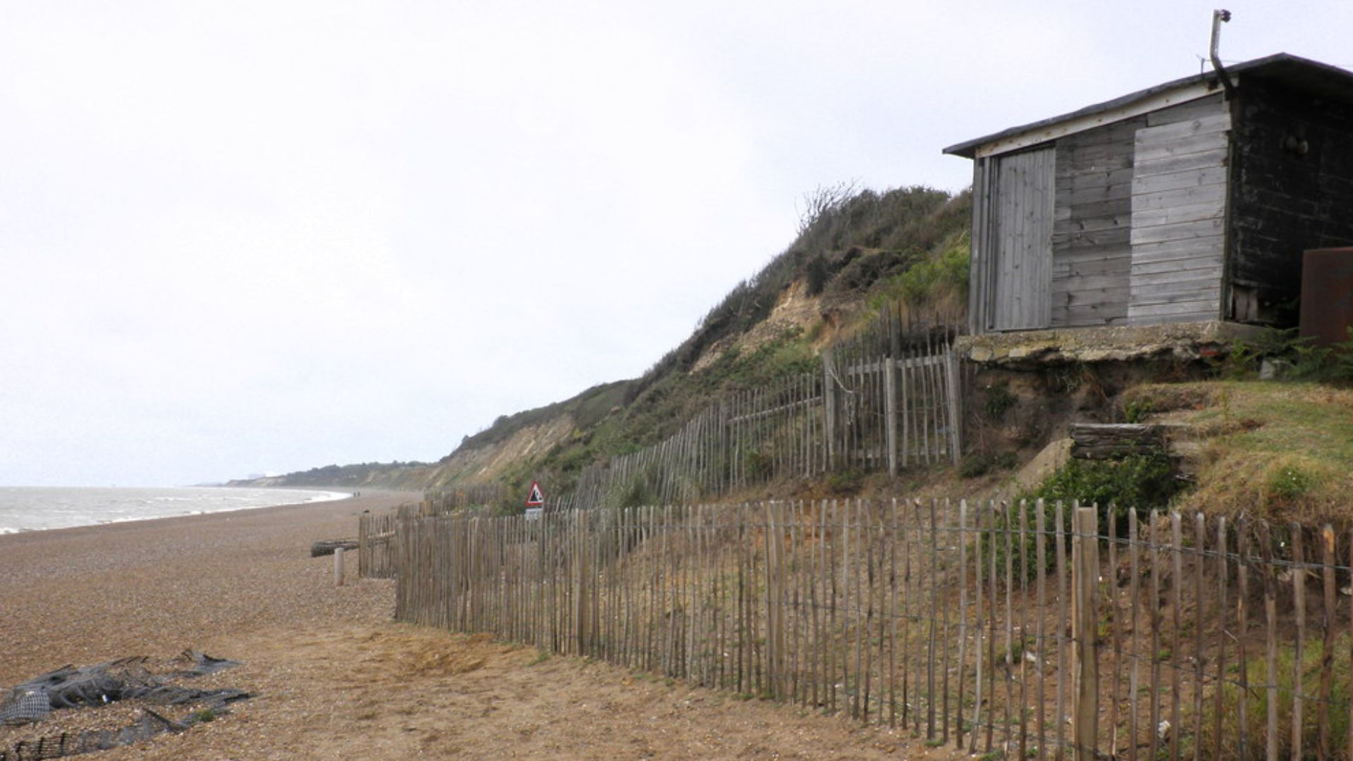
Egypt was not the only place losing cities. Medieval Dunwich, on England's Suffolk coast, was once a wealthy port. Storms and relentless coastal erosion gradually destroyed it, with churches, houses, and streets tumbling into the North Sea over several centuries.
 Roger Cornfoot , Wikimedia Commons
Many Thought Nothing Was Left
People knew Dunwich had existed, and divers suspected ruins remained offshore. Yet some scholars believed the North Sea had smashed the lost town into scattered rubble. Visibility underwater was terrible, making ordinary exploration exceptionally difficult. Then researchers brought in multibeam and side-scan sonar.
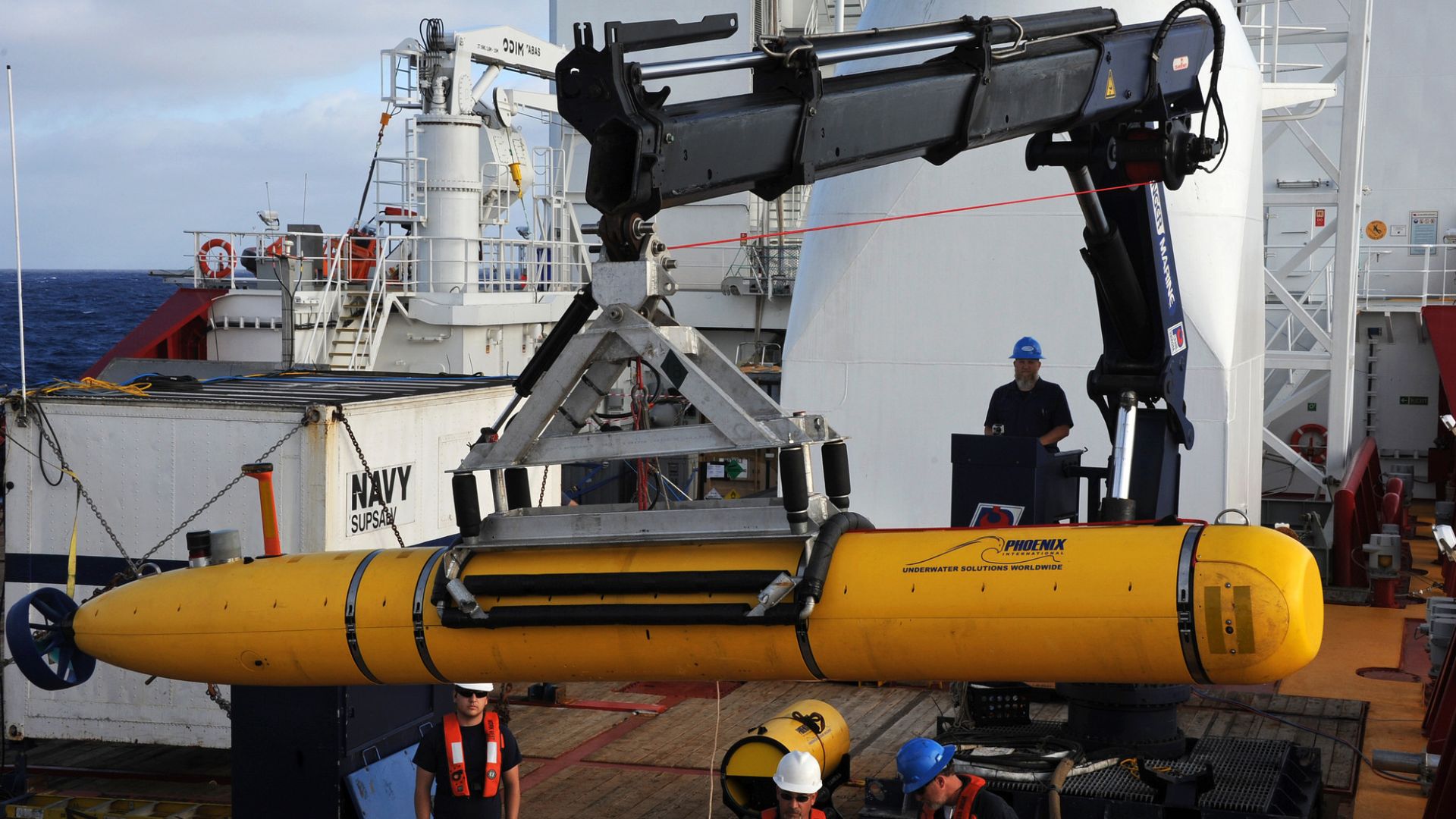 Commander US 7th Fleet US Naval Forces Central Command, Wikimedia Commons
Sonar Proved The City Survived
In 2008, sonar provided convincing evidence that substantial remains were still sitting on the seabed. Churches, chapels, and monastic buildings had not simply vanished. Some structures remained close to the locations shown on centuries-old maps, waiting beneath turbulent, silty water.
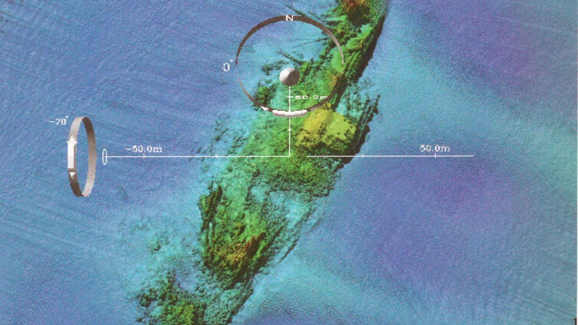 U.S. Navy photo, Wikimedia Commons
Dunwich Became Visible Without Clear Water
The resulting three-dimensional maps allowed researchers to examine the drowned landscape even when divers could barely see through the water. Among the identified remains were structures associated with medieval churches including St. Peter's and St. Nicholas's. Sonar effectively gave archaeologists underwater eyesight.
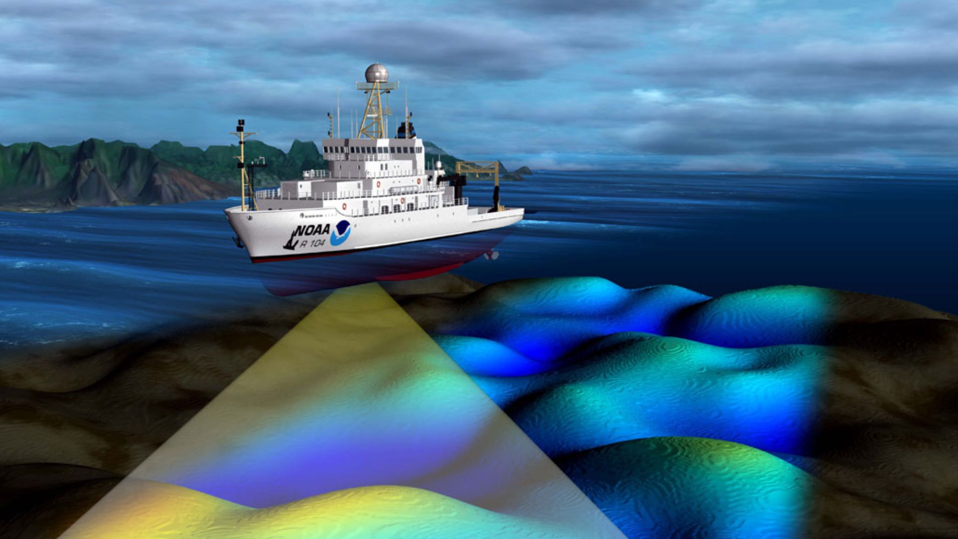 NOAA's National Ocean Service, Wikimedia Commons
Lake Atitlán Hid A Maya Settlement
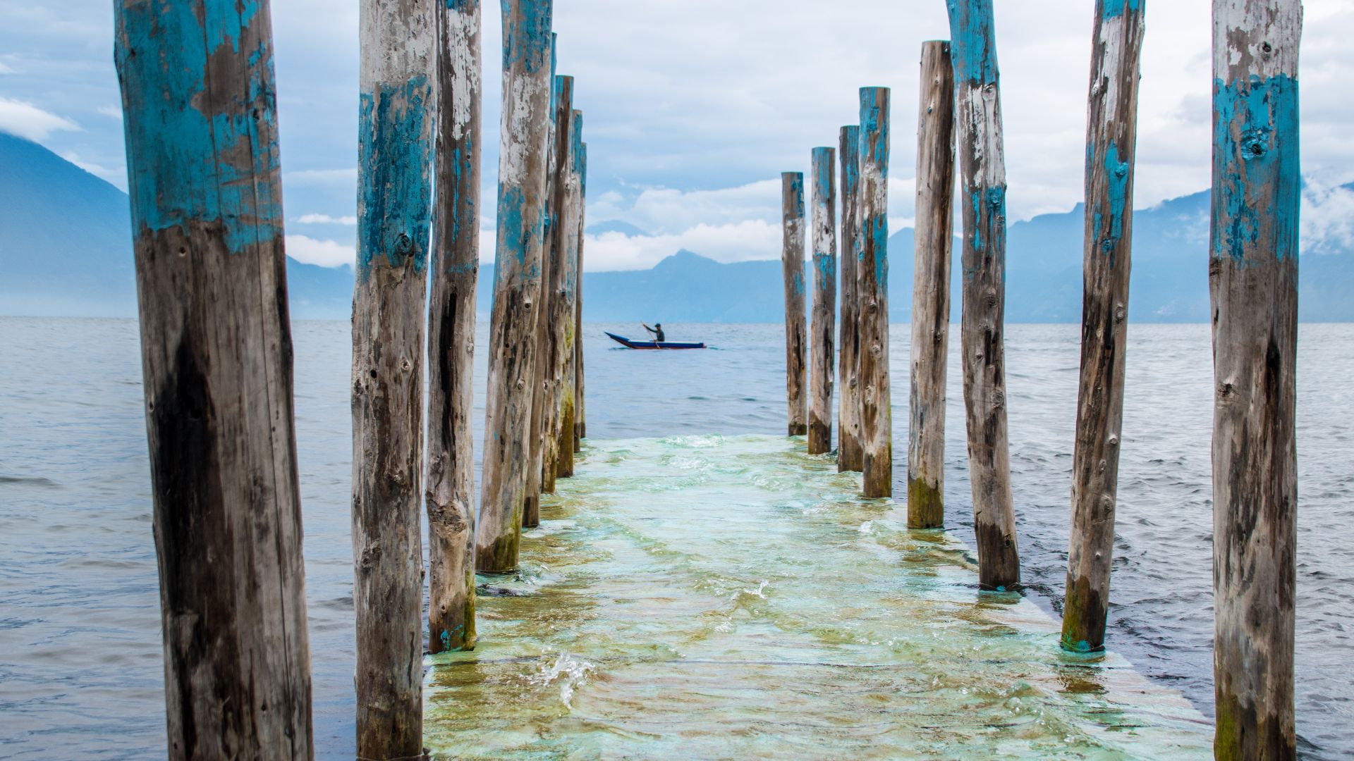
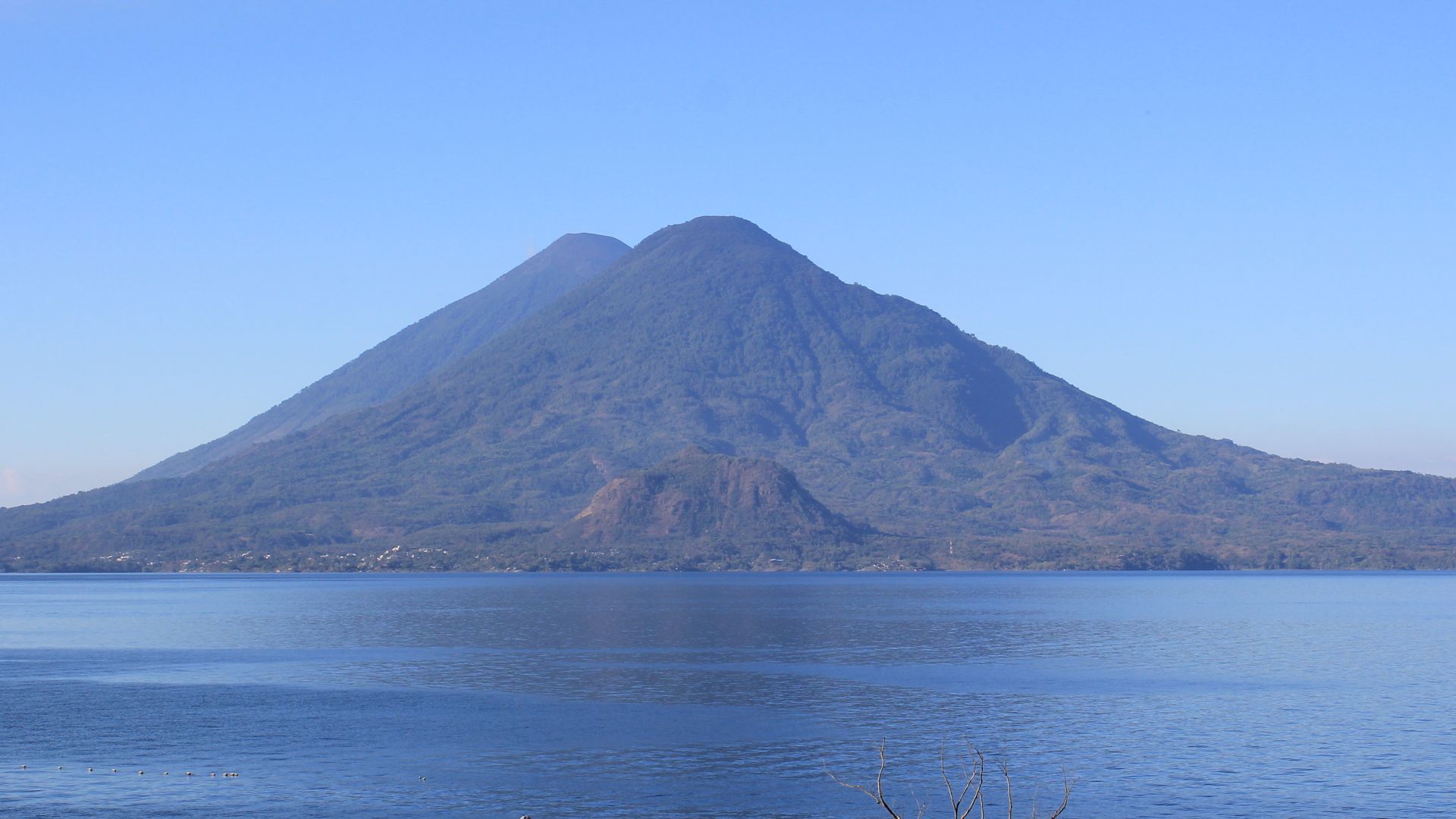
Guatemala's Lake Atitlán contains the submerged Maya site of Samabaj. Structures sit beneath the lake near Cerro de Oro, preserving evidence of a settlement now separated from the modern shoreline by rising water. Recent archaeological research has returned to the site with much more sophisticated technology.
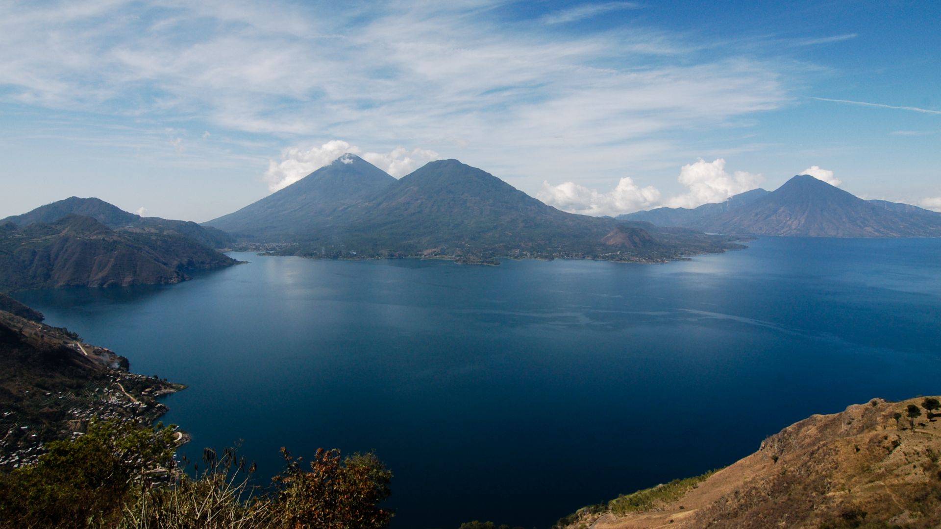
Sonar Revealed Samabaj's Bigger Picture
A 2026 peer-reviewed project used sonar while studying Lake Atitlán's submerged cultural landscape. The acoustic mapping helped researchers understand how surviving architecture fit together across the lakebed, turning isolated underwater features into a much clearer picture of an entire Maya settlement landscape.
 Ralf Steinberger from Milan, Berlin + Munich, Italy + Germany, Wikimedia Commons
But Samabaj Comes With An Asterisk
Samabaj demonstrates why "discovered by sonar" can be misleading. Diver Roberto Samayoa had already located the site before archaeological work began there in the late 1990s. Sonar did not discover Samabaj from scratch; it dramatically improved scientists' ability to understand it.
 Arian Zwegers from Brussels, Belgium, Wikimedia Commons
India's Gulf Of Khambhat Made Bigger Headlines
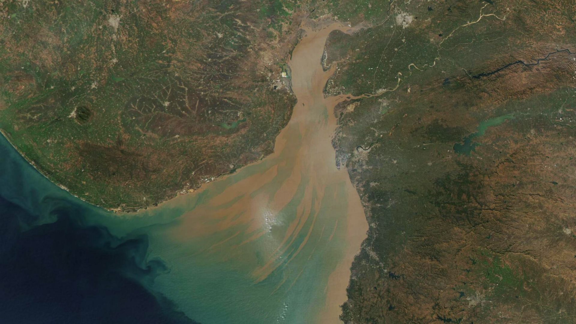
Around 2000, researchers from India's National Institute of Ocean Technology encountered unusual geometric patterns during side-scan sonar surveys in the Gulf of Khambhat, formerly called Cambay. Images seemed to show regularly arranged shapes roughly 20 kilometres offshore beneath 20 to 40 metres of water.
 MODIS Land Rapid Response Team, NASA GSFC, Wikimedia Commons
The Sonar Looked Remarkably City-Like
Some investigators interpreted the acoustic images as house foundations, large structures, channels, and elements of an organized settlement. Suddenly newspapers were discussing the possibility of an extraordinarily ancient drowned civilization. It was exactly the sort of story capable of making archaeologists develop headaches before breakfast.
 Commander, U.S. Naval Forces Europe-Africa/U.S. 6th Fleet, Wikimedia Commons
The Evidence Remains Contested
India's government itself initially emphasized that more investigation was required before the finds could be confirmed archaeologically. Objects were recovered from the seabed, but establishing their relationship to particular sonar targets proved difficult. The supposed "city" therefore remains a hypothesis rather than a securely identified ancient metropolis.
 Commander, U.S. Naval Forces Europe-Africa/U.S. 6th Fleet, Wikimedia Commons
Cuba Has An Even Stranger Sonar Mystery
In 2001, deep-water sonar surveys west of Cuba detected unusually symmetrical formations hundreds of metres below the surface. Their shapes triggered spectacular claims about pyramids and a drowned city. But extraordinary-looking sonar is not the same thing as archaeological proof, and the formations remain highly controversial.
 U.S. Navy photo by John F. Williams, Wikimedia Commons
Sonar Finds Shapes, Not Civilizations
This is the crucial rule of underwater archaeology. Sonar can show straight lines, rectangles, mounds, walls, and suspiciously tidy arrangements. It cannot tell researchers who built them—or whether anybody built them at all. Divers, artifacts, dating, geology, and careful excavation still have to finish the job.
 Elpida Hadjidaki, Wikimedia Commons
The Next Lost City May Begin As An Echo
Thousands of kilometres of drowned prehistoric coastline remain largely unexplored. Sonar is increasingly allowing archaeologists to map places that cameras and divers cannot easily reach. Somewhere on a computer screen, the next great underwater discovery may initially look wonderfully unimpressive: a strange little echo where no echo should be.
 NOAA Okeanos Explorer, Elliot Lim, Wikimedia Commons
You May Also Like:
Things Canadians Notice Immediately When They Drive Through The American Southwest
Top Five Restaurants In The World
The U.S. Cities That Canadians Say Are Better Tourist Destinations Than They Expected