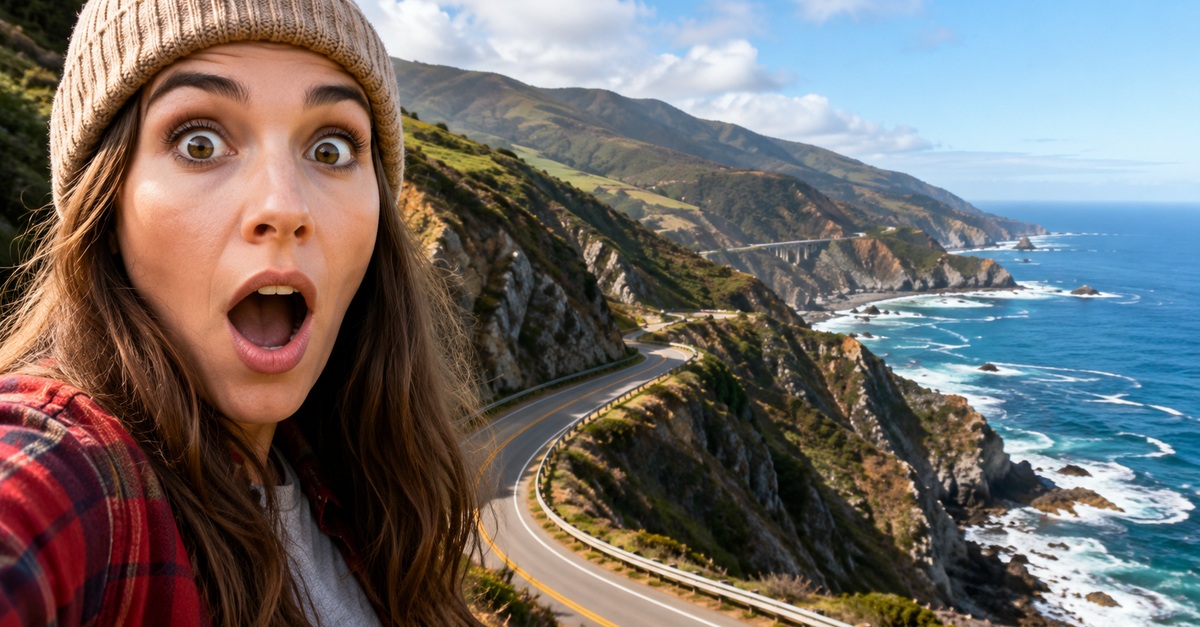
When The Road Becomes The Vacation
Canada certainly has no shortage of spectacular highways, but some American drives package scenery, history, and roadside culture in combinations that are hard to duplicate. In the United States, a single road trip can hug California cliffs, cross Florida's tropical islands, follow the Mississippi River, or climb above the tree line in Colorado. The “jealous” part is playful, but these routes really do offer experiences distinctive enough to justify crossing the border with a set of car keys.
Highway 1 Puts The Pacific Beside Your Window
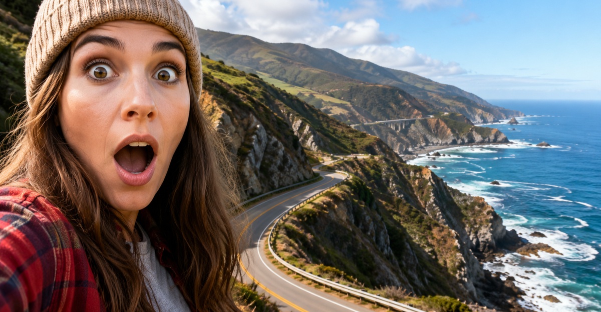
California's Highway 1 provides one of the country's most recognizable coastal drives, with Visit California mapping a 517-mile itinerary between San Francisco and Dana Point. The route passes Santa Cruz, Carmel-by-the-Sea, Big Sur, Hearst Castle, Santa Barbara, and other coastal destinations. Instead of merely using the highway to reach a beach, travelers spend days following the Pacific itself.
Big Sur Makes The Road The Attraction
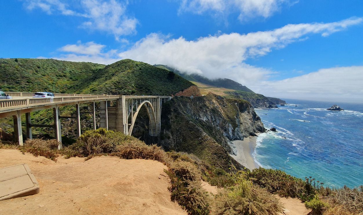
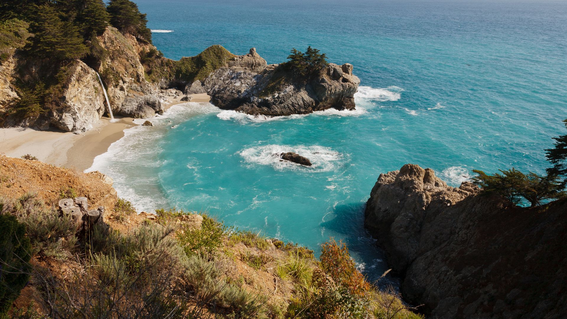
The famous Big Sur portion of Highway 1 runs through roughly 90 miles of rugged coastline between Carmel-by-the-Sea and Hearst Castle. Drivers encounter redwood country, coastal cliffs, and landmarks such as McWay Falls while the highway repeatedly twists toward views of the Pacific. It is a classic example of a trip where arriving quickly would defeat the purpose.
 King of Hearts, Wikimedia Commons
Route 66 Turns History Into A Vacation
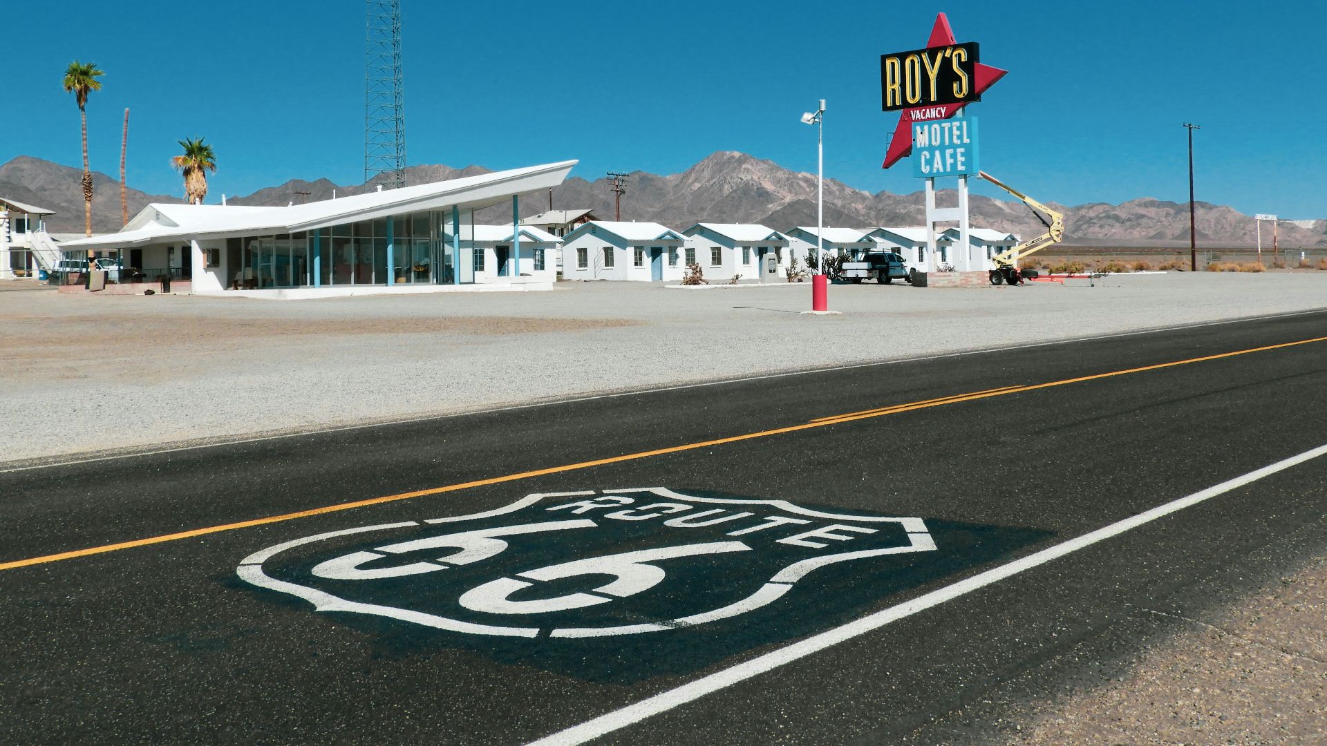
Historic Route 66 stretches roughly 2,400 miles from the Chicago area toward Los Angeles and the Pacific. Created as part of the federal highway system in 1926, it crossed eight states while linking agricultural regions, mining communities, plains, desert landscapes, and major cities. Few American road trips carry quite as much historical baggage before the engine even starts.
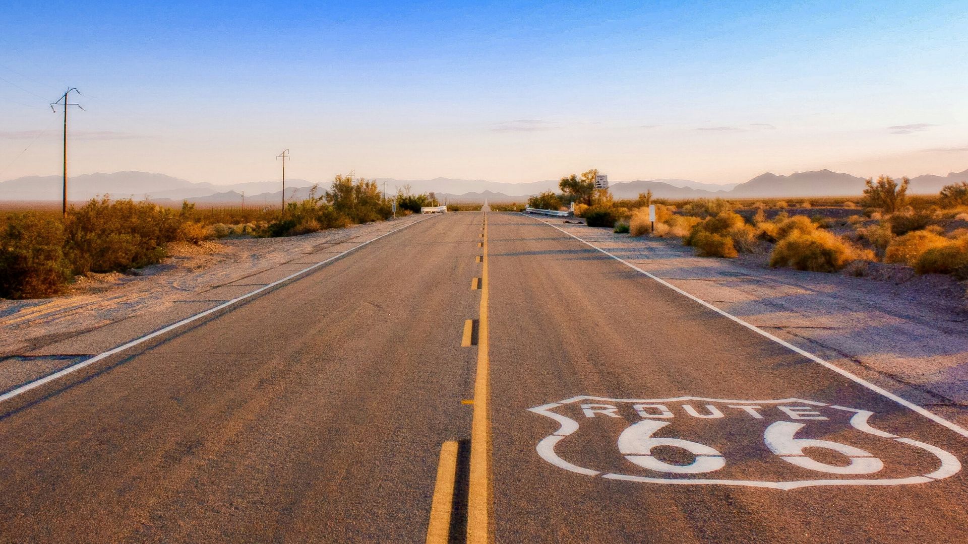
Route 66 Still Rewards The Slow Way West
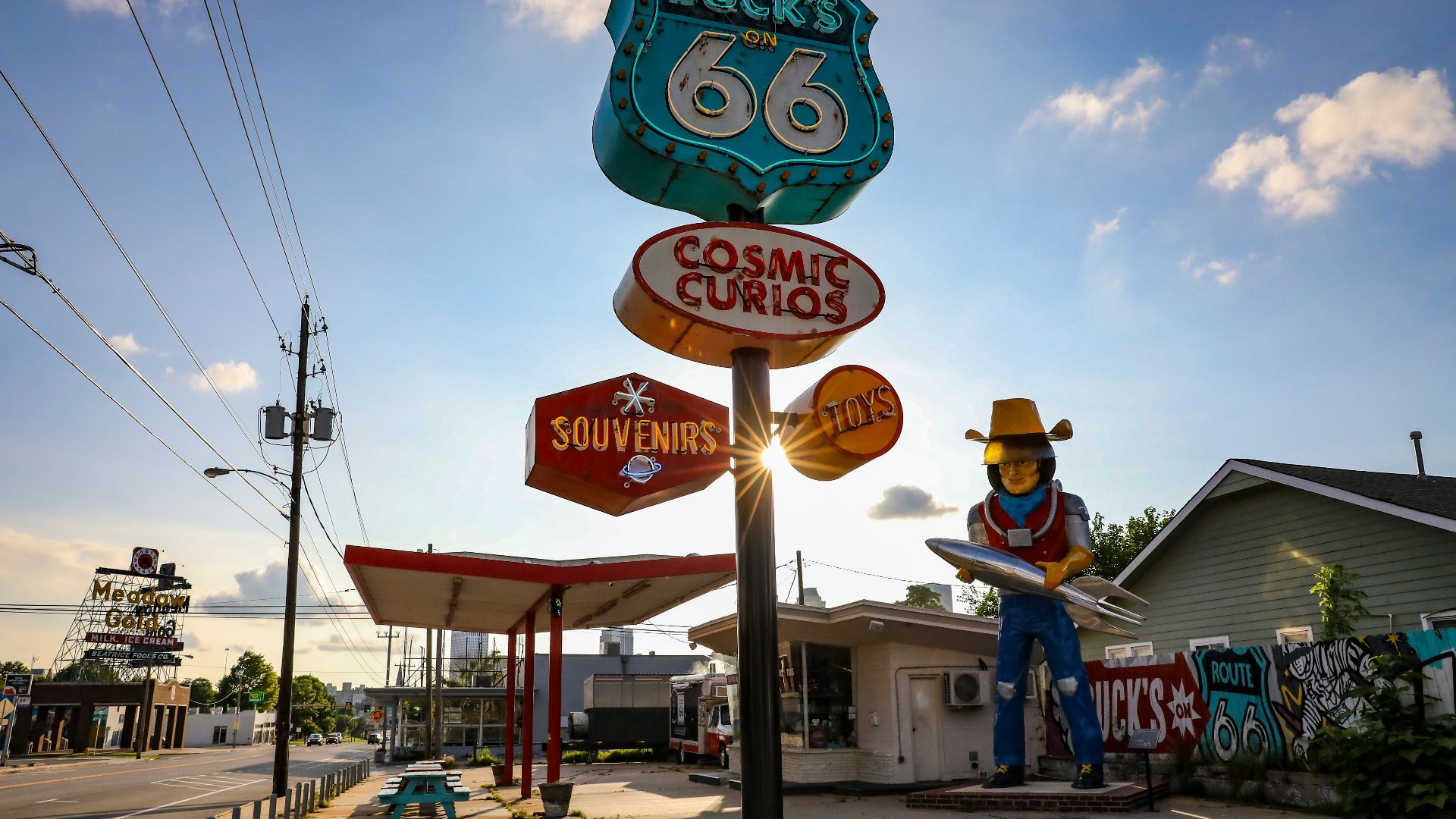
Route 66 helped create opportunities for roadside fuel stations, restaurants, motels, and other businesses as automobile traffic increased. It also became intertwined with migration, wartime transportation, and the growth of automobile tourism across the American West. Following its historic alignments today therefore feels different from simply taking an interstate between Chicago and California.
Going-To-The-Sun Road Climbs Into Glacier Country
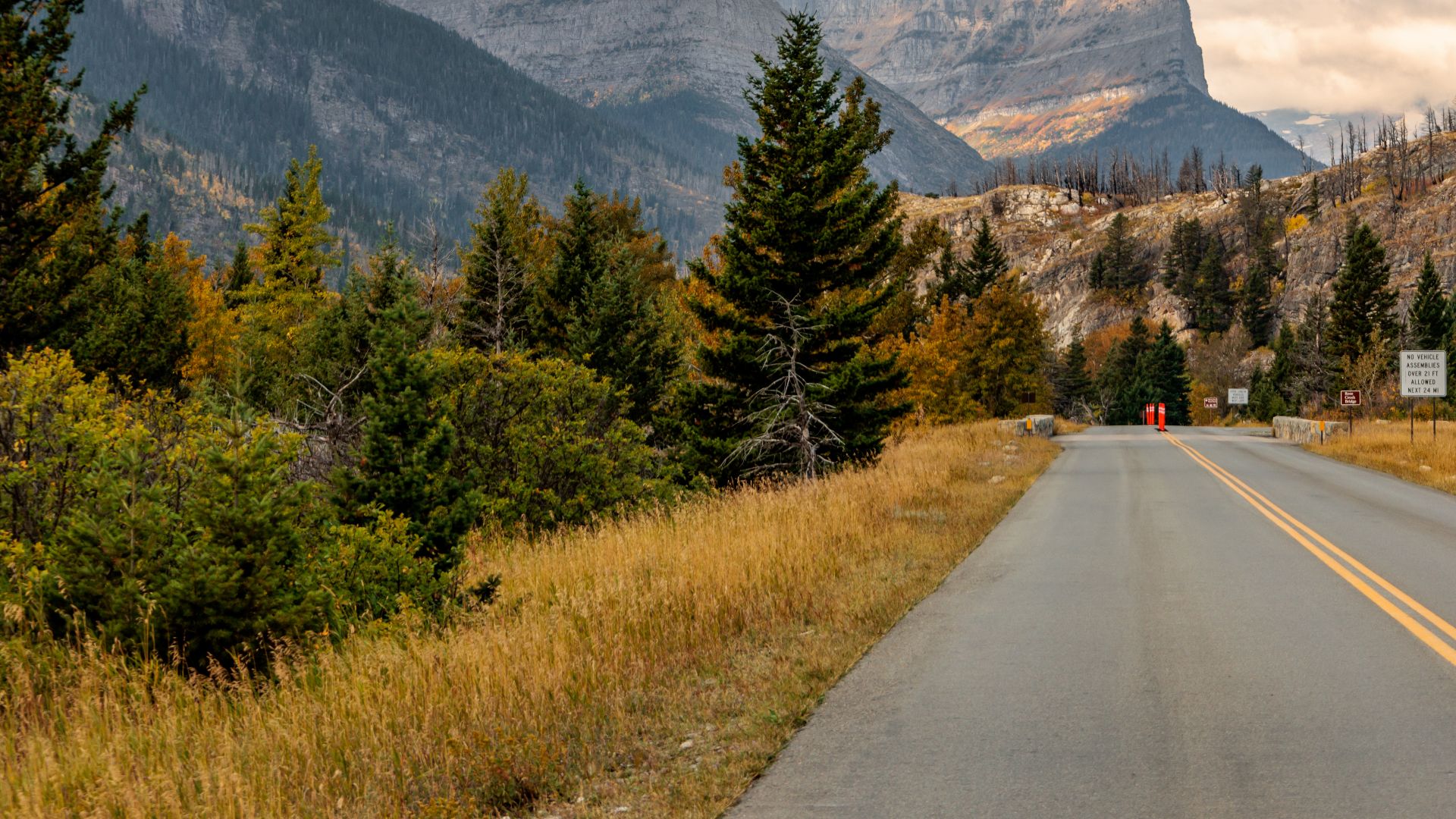
Montana's Going-to-the-Sun Road crosses more than 50 miles of Glacier National Park. Built primarily during the late 1920s and early 1930s, the road carries motorists past glacier-shaped mountains, alpine lakes, forests, and high-elevation scenery. The National Park Service suggests allowing anywhere from several hours to most of a day for the experience.
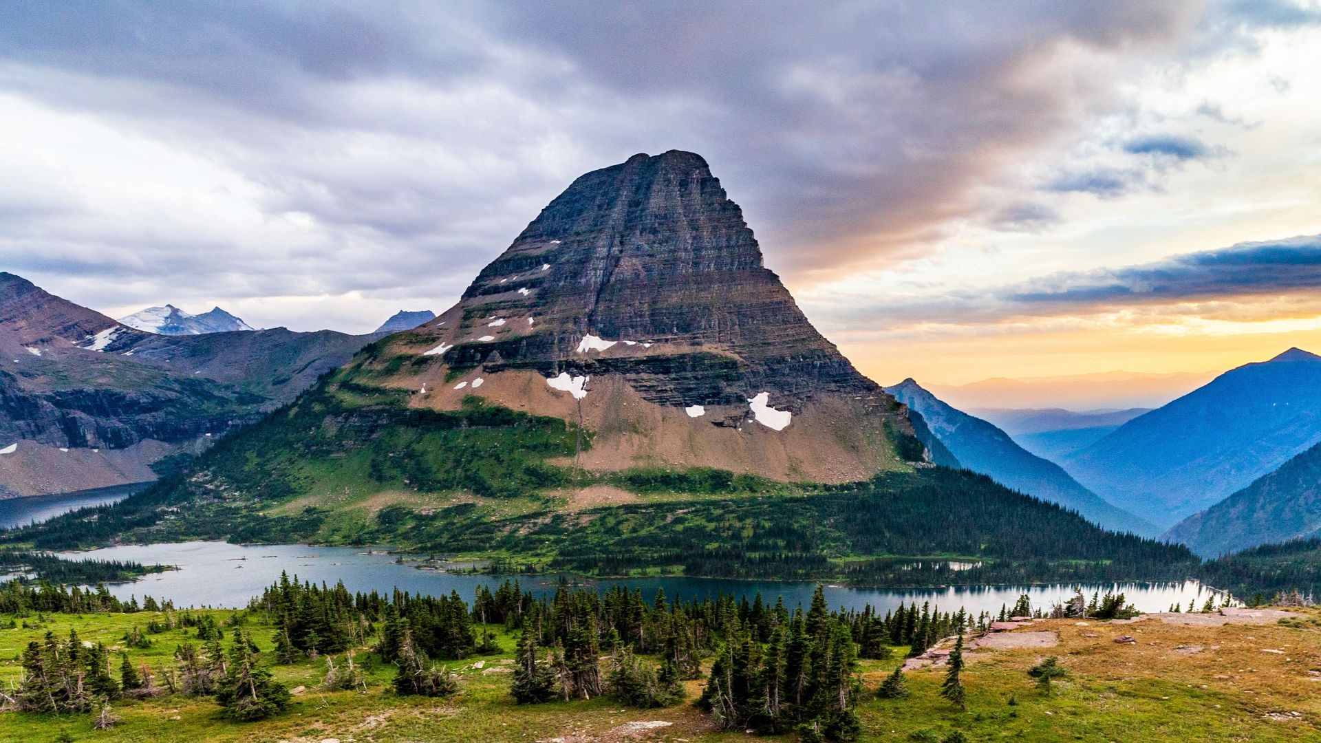
Logan Pass Makes You Want To Stop
Going-to-the-Sun Road is also designed around places where motorists can leave the car and experience Glacier National Park on foot. Short hikes accessible from the road include Trail of the Cedars, Hidden Lake Overlook, Sunrift Gorge, Baring Falls, and St. Mary Falls. That combination of dramatic driving and trail access makes the highway much more than a pretty shortcut across the park.
 Andrew Parlette, Wikimedia Commons
Blue Ridge Parkway Was Built For Scenic Motoring
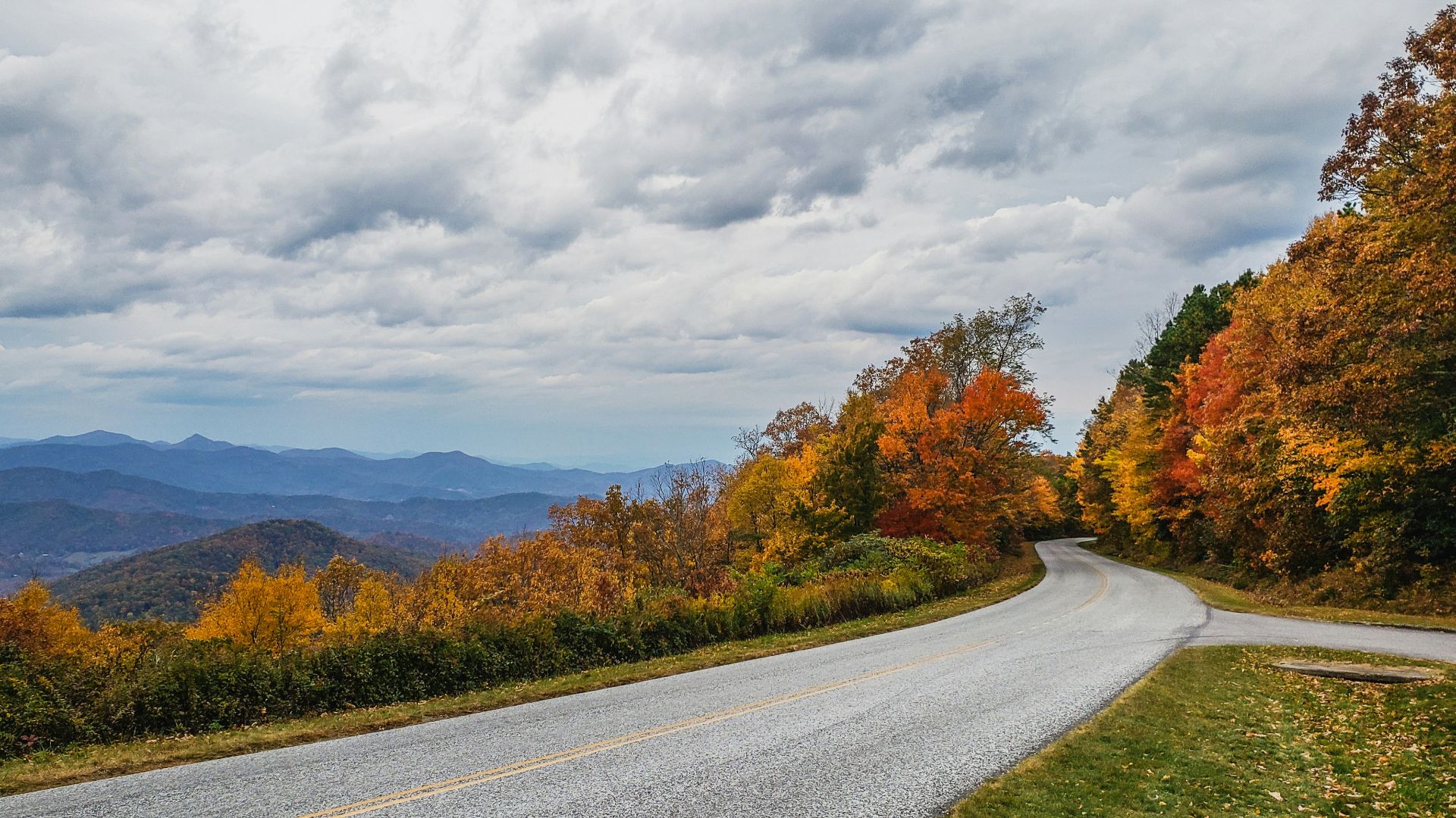
The Blue Ridge Parkway runs 469 miles between Shenandoah National Park in Virginia and Great Smoky Mountains National Park in North Carolina. Its leisurely character is intentional, with a maximum speed limit of 45 mph and many stretches posted even lower. Rather than racing through Appalachia, the parkway encourages travelers to settle into the landscape.
The Blue Ridge Has Hundreds Of Reasons To Stop
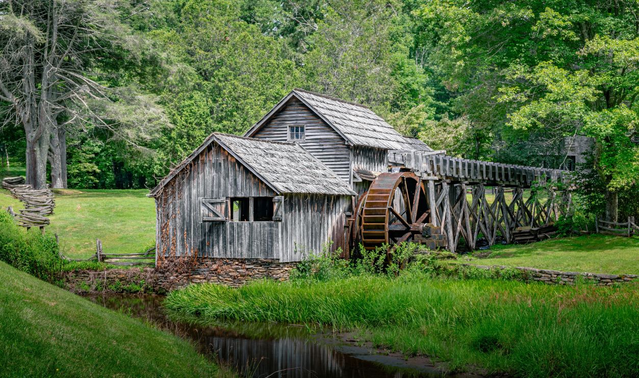
There are 382 overlooks scattered along the Blue Ridge Parkway, so pulling over for the view is practically part of the itinerary. The National Park Service estimates that covering 30 miles commonly takes about an hour, even before adding sightseeing stops. Travelers can also find seasonal campgrounds and lodging along the route, which makes stretching the drive across several days easy.
The Florida Keys Let You Drive Across The Sea
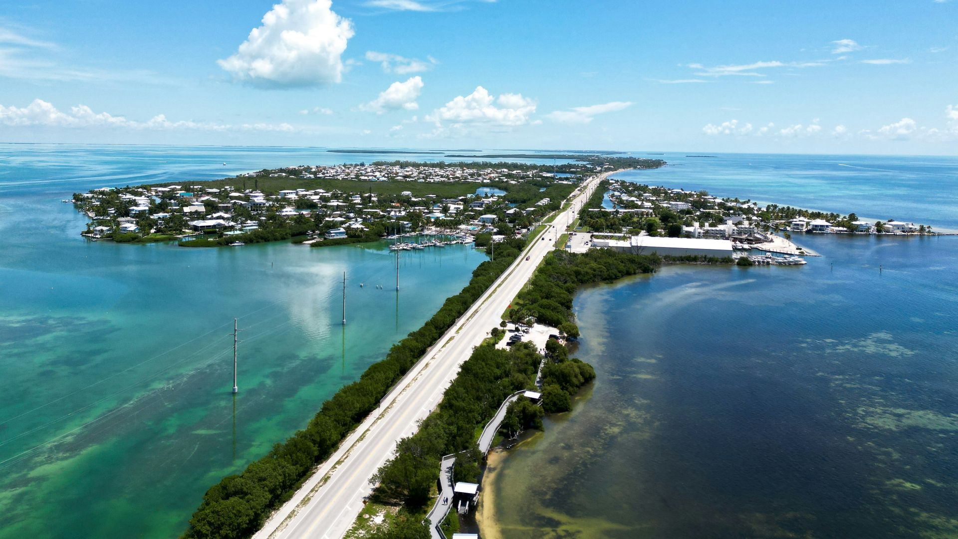
The Overseas Highway creates a dramatically different kind of American road trip by carrying motorists through the Florida Keys toward Key West. The route is about 113 miles long and incorporates 42 bridges across the island chain. With water repeatedly appearing on both sides of the road, ordinary highway driving can suddenly feel surprisingly close to boating.
Those Bridges Have Their Own History
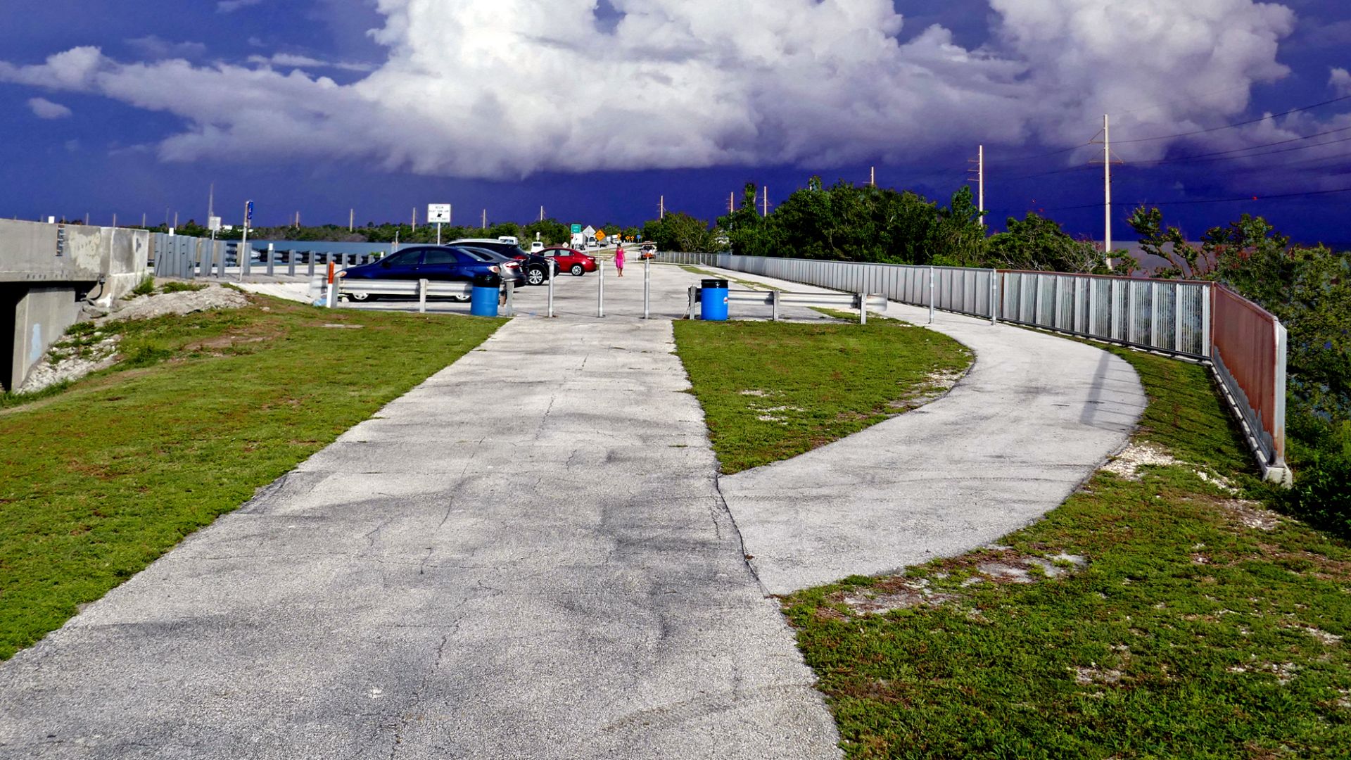
Today's Overseas Highway is closely tied to Henry Flagler's railroad extension, which reached Key West in 1912. After the railway was badly damaged in 1935, portions of its infrastructure were incorporated into the highway that opened several years later. Historic railroad bridges still survive around the Keys, giving the tropical drive an unexpected layer of transportation history.
 Pom' from France, European Union, Wikimedia Commons
Utah Scenic Byway 12 Looks Almost Engineered For Road Trips
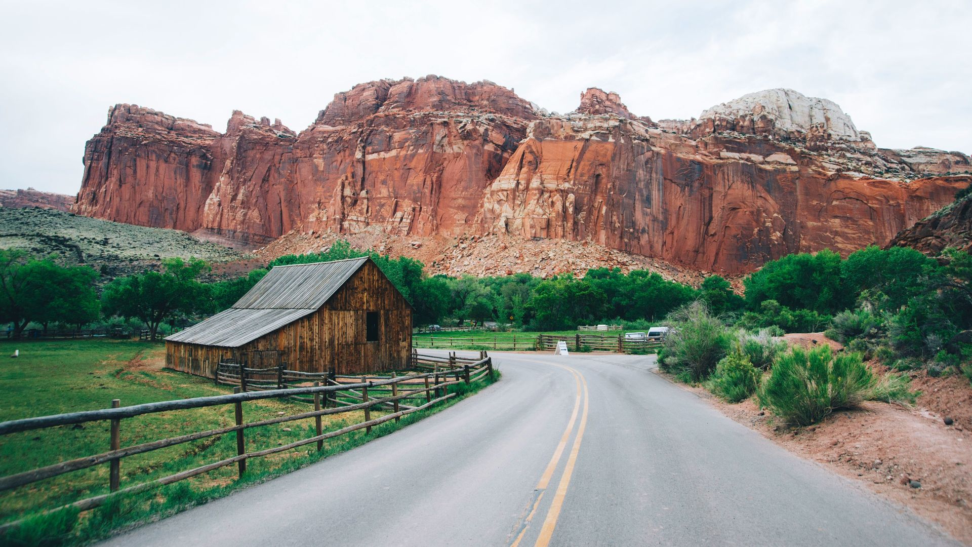
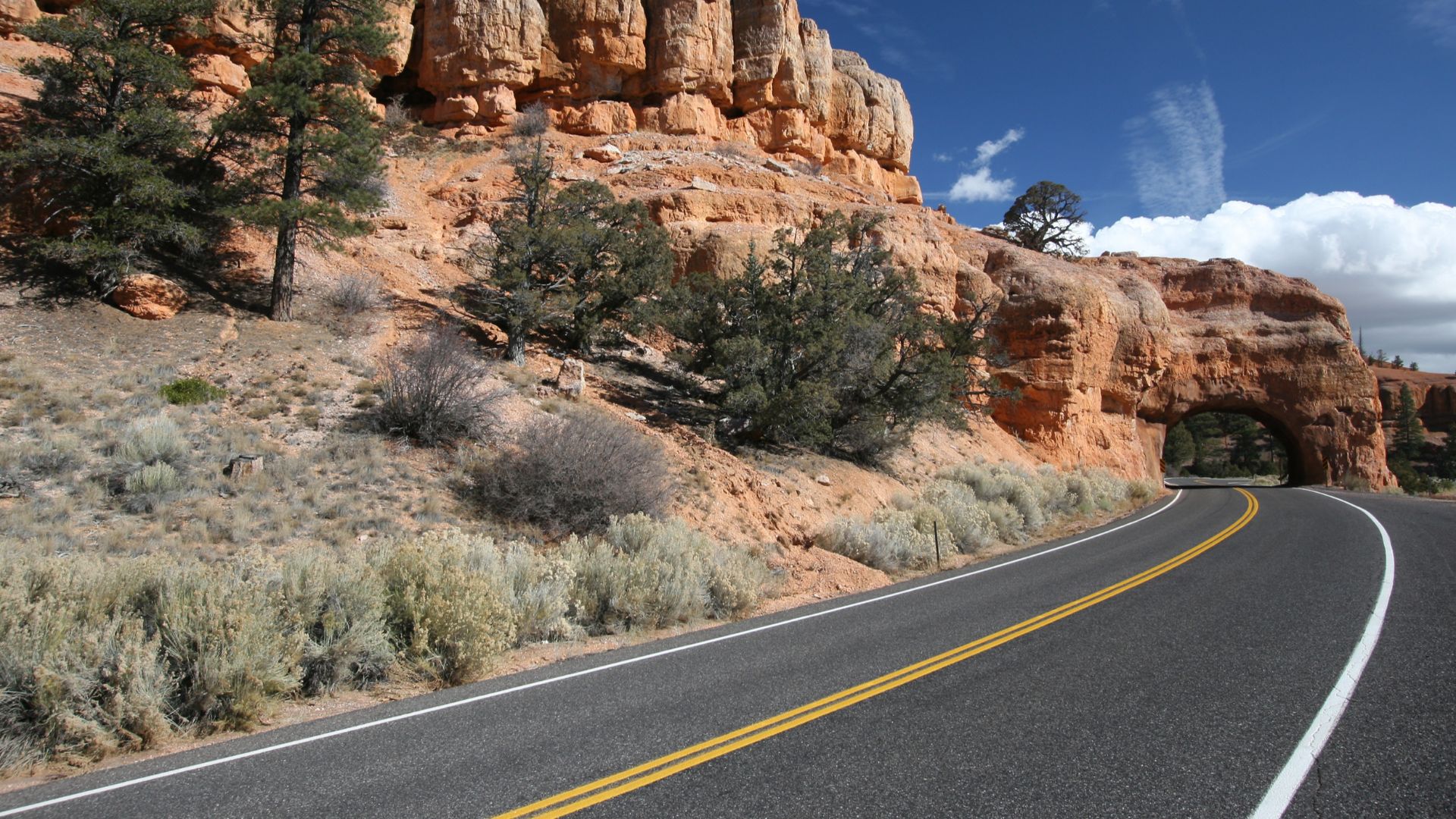
Utah's Scenic Byway 12 runs exactly 122.863 miles between the Panguitch area and State Route 24 near Torrey. Along the way, travelers move through canyons, red-rock formations, forested country, and pioneer communities. The route also provides access to landscapes associated with Bryce Canyon, Grand Staircase-Escalante, and Capitol Reef.
The Hogsback Adds A Little Drama
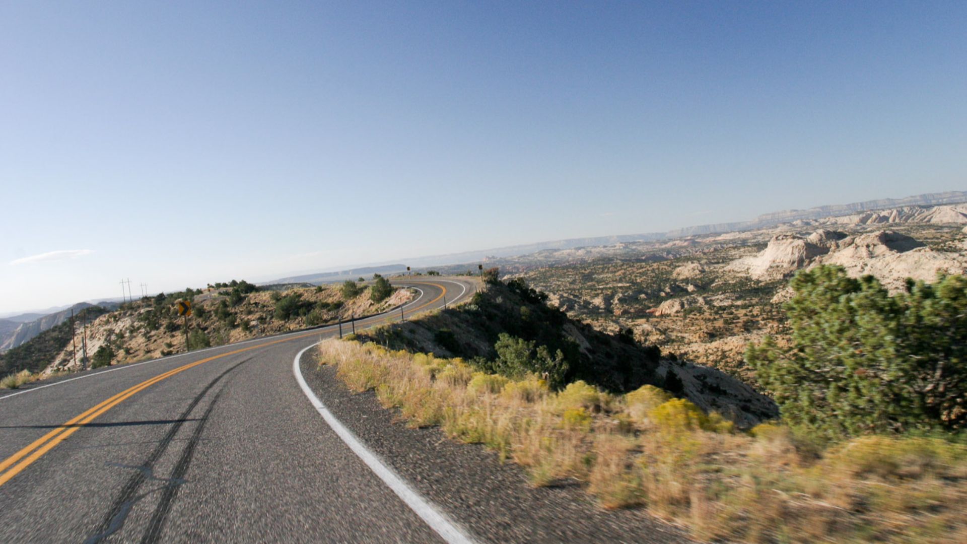
One of Scenic Byway 12's memorable sections is the Hogsback, where the road follows narrow, elevated terrain through southern Utah. Elsewhere the route climbs to viewpoints around 9,000 feet, with distant views toward the Henry Mountains and surrounding red-rock country. It is the kind of highway where changing elevation can completely transform the scenery within a relatively short drive.
 Greg Willis from Denver, CO, usa, Wikimedia Commons
The Great River Road Thinks Much Bigger
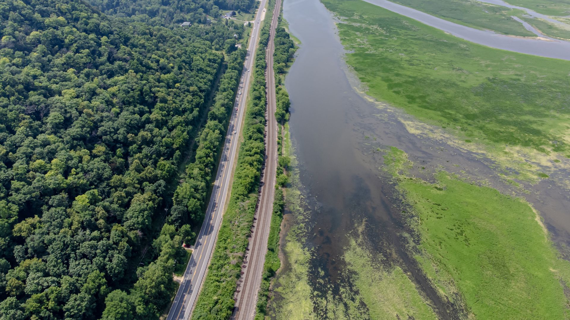
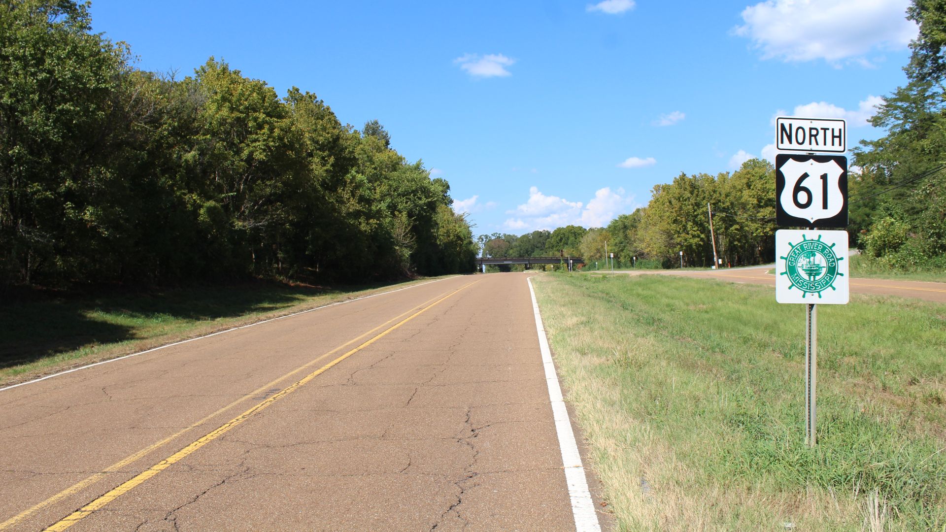
The Great River Road follows the Mississippi River for roughly 3,000 miles from northern Minnesota toward the Gulf of Mexico. Its network passes through 10 states and hundreds of river communities rather than following a single continuous highway. That scale allows travelers to turn it into anything from a weekend excursion to a major multi-state journey.
Ten States Tell Ten Versions Of The River
The Great River Road passes through Minnesota, Wisconsin, Iowa, Illinois, Missouri, Kentucky, Tennessee, Arkansas, Mississippi, and Louisiana. Along the way, the route connects communities and historic sites associated with the long human story of the Mississippi River corridor. For travelers who like their scenery mixed with towns and cultural history, this drive provides plenty of both.
 Rowen Hansen, Wikimedia Commons
Natchez Trace Parkway Is The Quiet Alternative
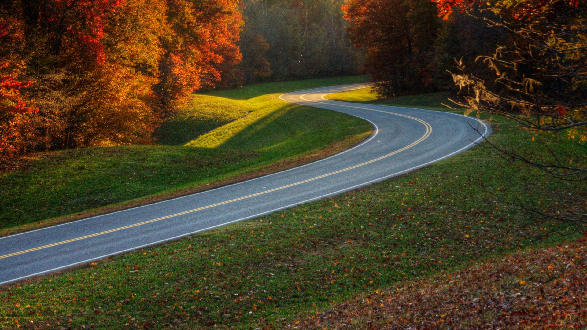
The Natchez Trace Parkway stretches 444 miles across Mississippi, Alabama, and Tennessee. The recreational road roughly follows the historic Old Natchez Trace, a travel corridor used by Indigenous peoples and later by settlers, traders, soldiers, and other travelers. Today its combination of woods, gentle curves, historic stops, and limited commercial development gives it a slower personality than most long-distance highways.
The Trace Connects Driving With Deep History
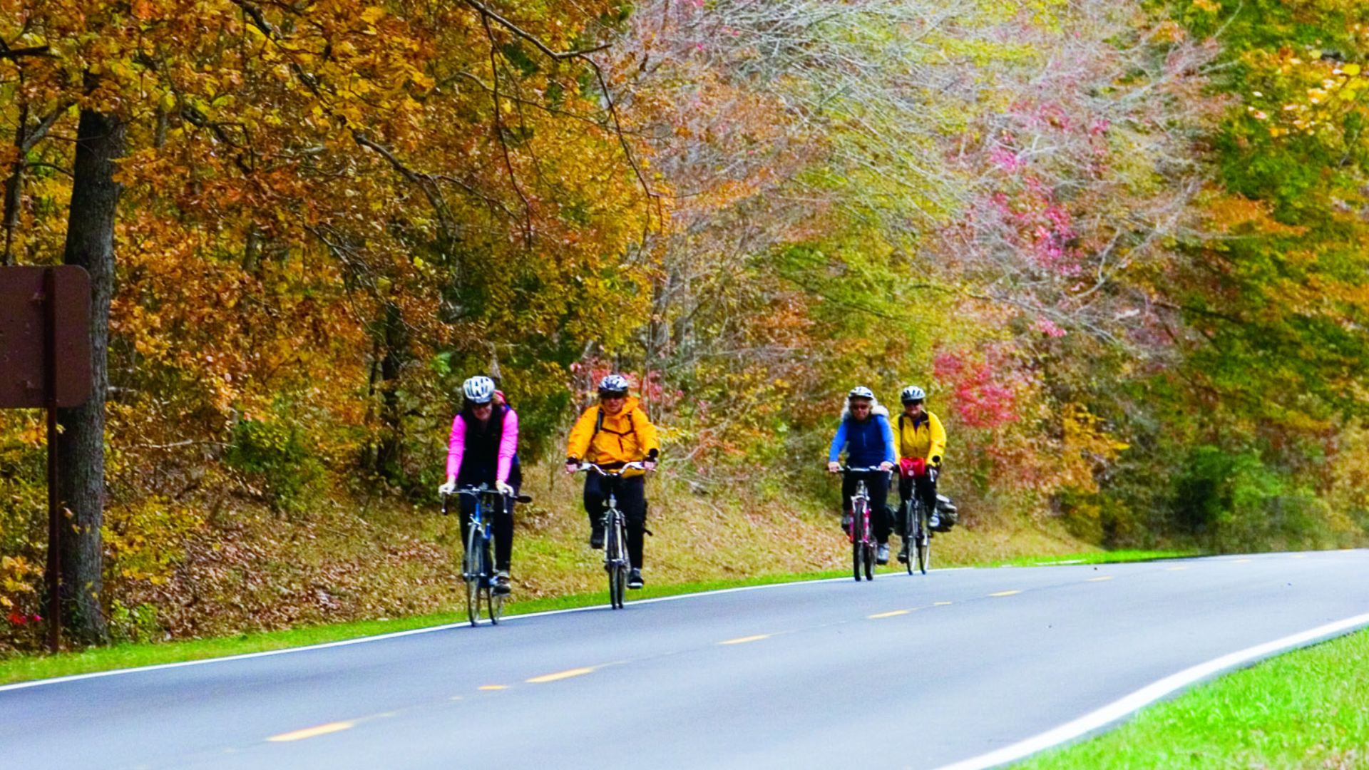
People traveled portions of the Natchez Trace for thousands of years before the modern parkway existed. The National Park Service now interprets that history while also providing opportunities for hiking, bicycling, horseback riding, camping, and scenic driving. A visitor can therefore treat the parkway as either a through-trip or a long chain of smaller historic and outdoor stops.
 Unknown authorUnknown author or not provided, Wikimedia Commons
The Kancamagus Highway Packs New England Into 34.5 Miles
New Hampshire's Kancamagus Highway follows Route 112 for 34.5 miles through White Mountain National Forest scenery. The road can also form part of a larger White Mountains loop incorporating Franconia Notch, Crawford Notch, and surrounding mountain communities. It proves that a memorable American road trip does not have to consume an entire week.
Autumn Makes The Kanc Hard To Ignore
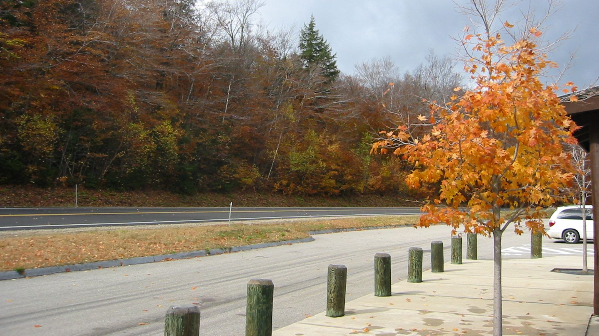
The White Mountains are particularly associated with scenic driving once New Hampshire's forests begin changing color. The state's tourism office specifically promotes fall road trips, and its Kancamagus route passes directly through heavily forested mountain terrain. For Canadian travelers accustomed to impressive autumn foliage at home, this is one American rival worth putting on the comparison list.
Beartooth Highway Heads Straight Into High Country
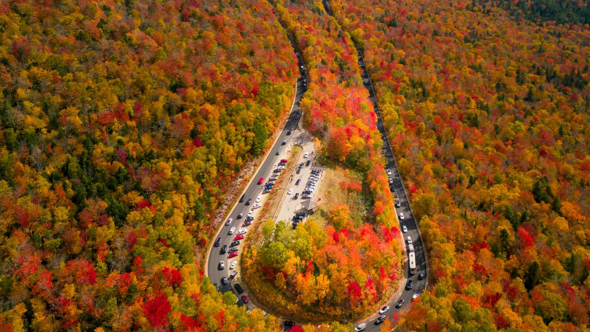
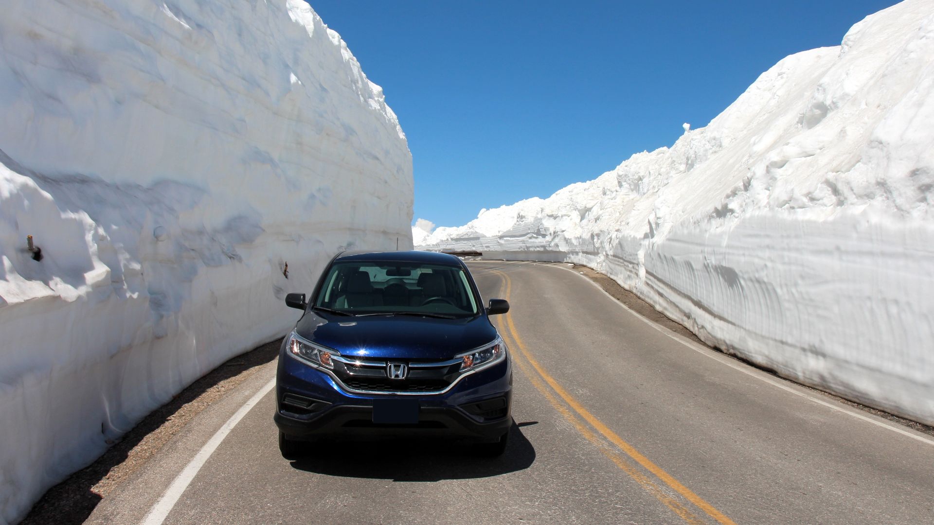
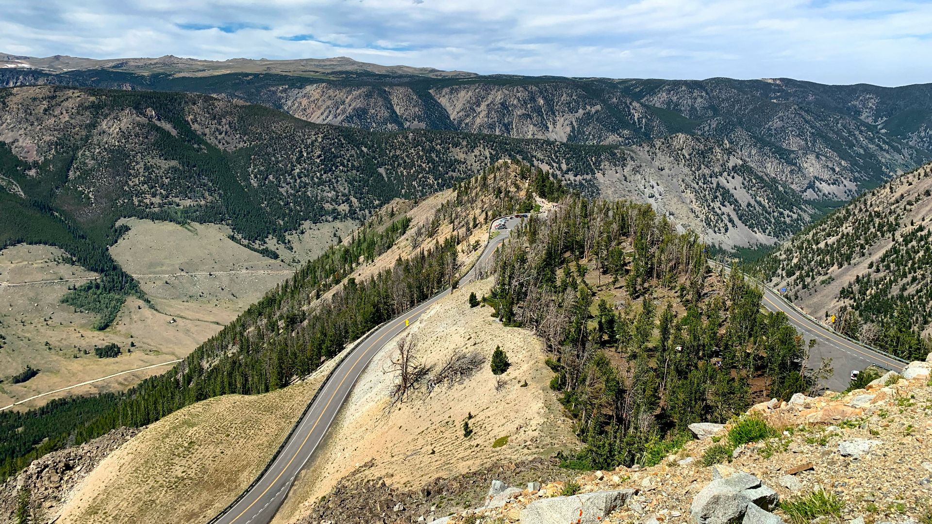
The Beartooth Highway follows U.S. 212 through mountainous portions of Montana and Wyoming toward Yellowstone National Park's northeast entrance. The National Park Service describes the route as passing through Custer, Shoshone, and Gallatin National Forest lands. Within only a few miles, motorists can watch the landscape transition from forest into alpine tundra.
Beartooth Makes Yellowstone Feel Like The Finale
Completed in 1936, the Beartooth Highway travels through one of the highest and most rugged mountain regions in the Lower 48. The surrounding Beartooth Mountains contain numerous peaks topping 12,000 feet. Because the road eventually reaches the vicinity of Yellowstone's northeast entrance, the drive can function as a spectacular opening act for a national park trip.
Trail Ridge Road Drives Above The Trees
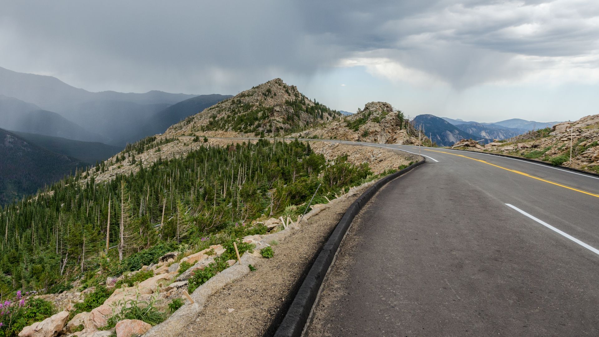
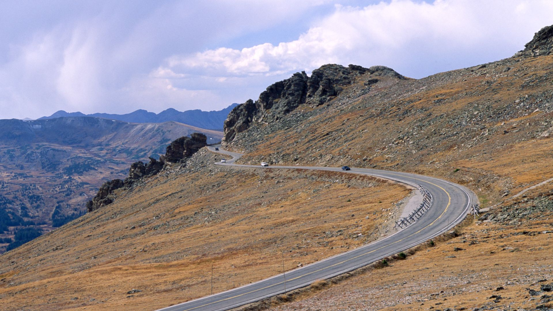
Colorado's Trail Ridge Road crosses Rocky Mountain National Park for 48 miles between Estes Park and Grand Lake. It climbs to 12,183 feet, making it the highest continuous paved road in the United States. At those elevations, forests give way to alpine tundra and sweeping views of the Continental Divide.
This Colorado Road Answers To The Weather
Trail Ridge Road is primarily a summer and fall experience because conditions at high elevation can change quickly. The National Park Service warns that temporary closures may occur, and access requirements can also apply during the park's busy season. That uncertainty is part of what makes crossing such exposed alpine terrain by car feel unusual in the first place.
 Dariusz Kowalczyk, Wikimedia Commons
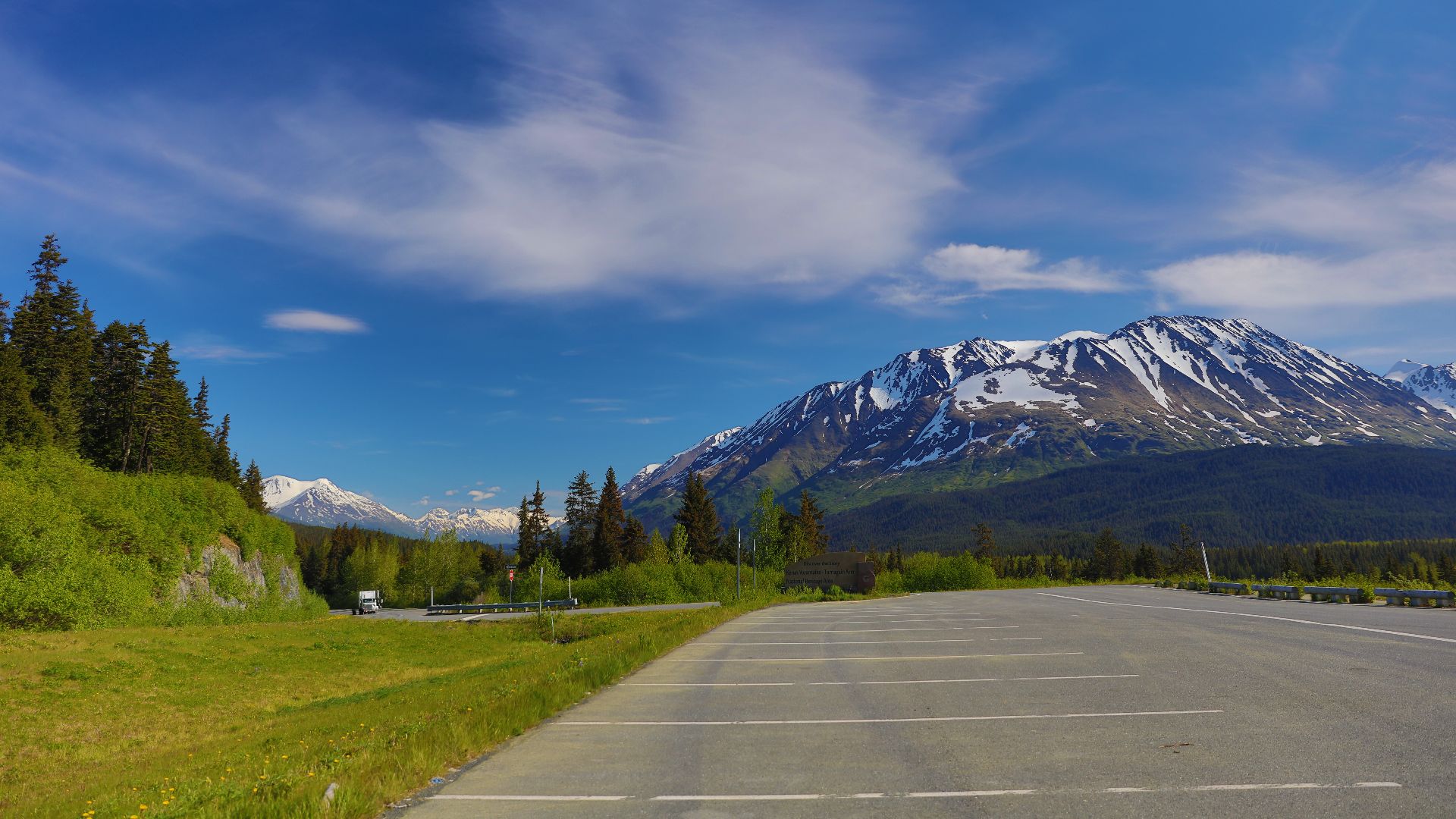
Seward Highway Packs Alaska Into 127 Miles
Alaska's Seward Highway travels 127 miles between Anchorage and Seward. The drive combines Turnagain Arm, the Chugach Mountains, forests, lakes, glaciers, and access to communities such as Girdwood. It holds federal and state scenic designations, including All-American Road status.
 Enrico Blasutto, Wikimedia Commons
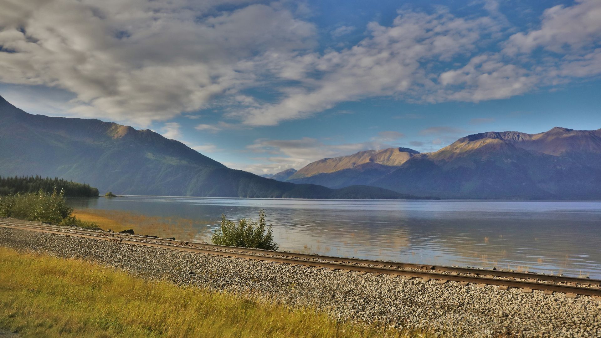
Turnagain Arm Keeps The Passenger Busy
South of Anchorage, motorists follow the Turnagain Arm shoreline while mountains rise sharply around the highway. Travel Alaska notes opportunities to spot wildlife including beluga whales, eagles, moose, and Dall sheep from this part of the route. Numerous pullouts make it easier to stop rather than forcing the passenger to take every photograph through a moving window.
 Enrico Blasutto, Wikimedia Commons
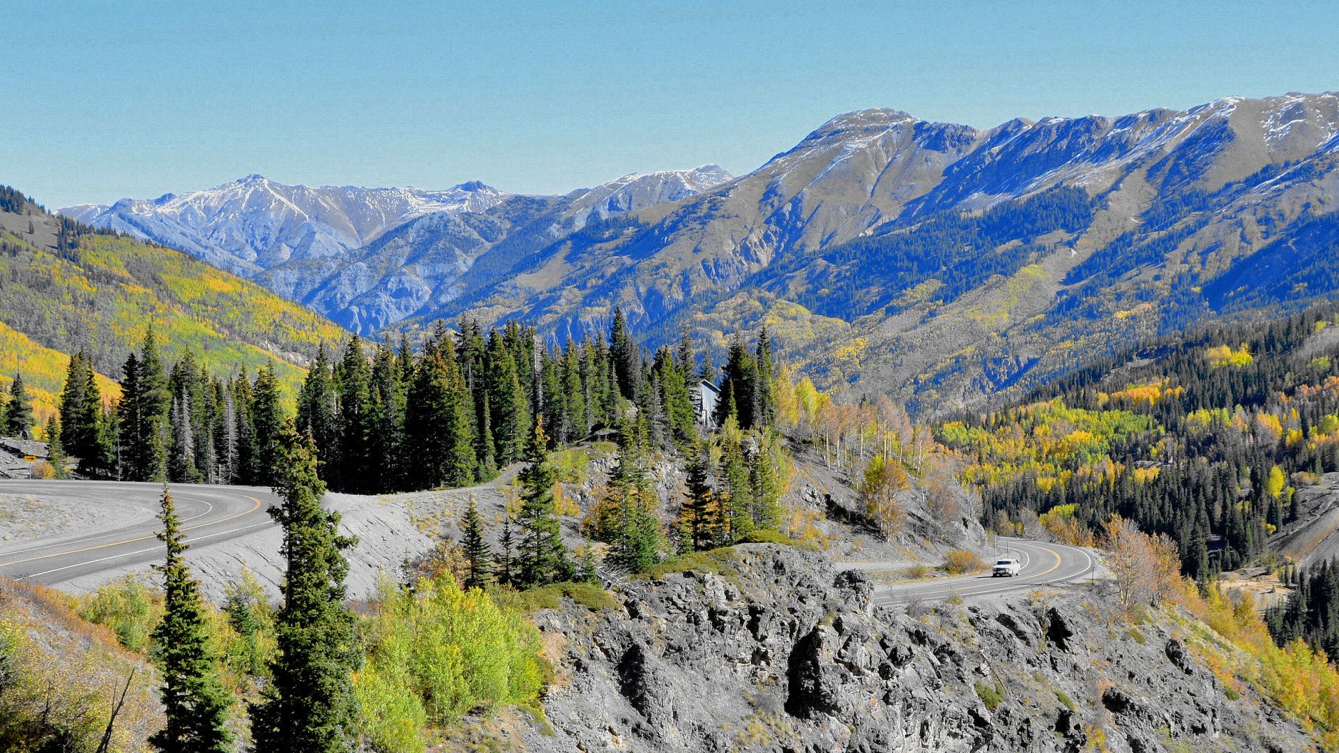
Million Dollar Highway Gets Dramatic Fast
Colorado's Million Dollar Highway is the section of U.S. 550 running between Ouray and Silverton. It forms part of the larger San Juan Skyway and winds through steep mountain terrain with views across valleys and gorges. The route is comparatively short, but the surrounding San Juan Mountains make it feel far bigger than its footprint on a map.
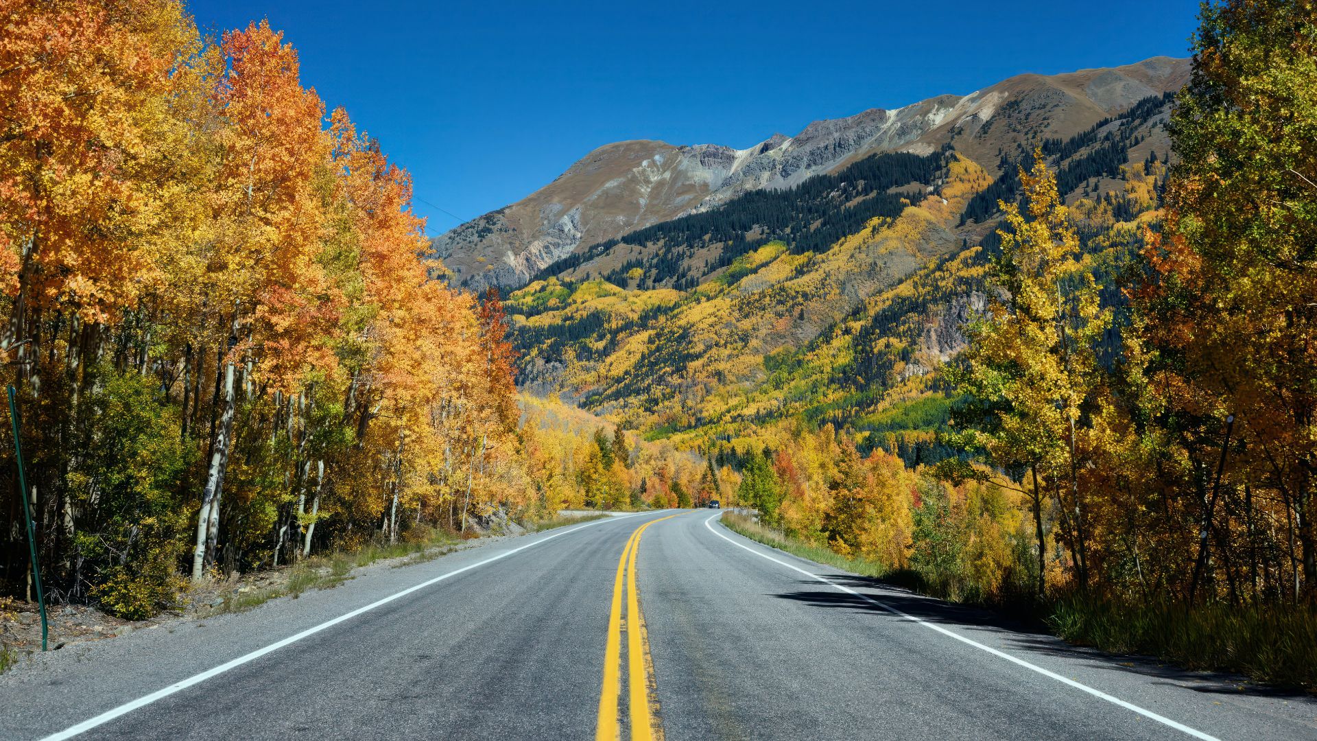
The Road Itself Is Part Of The Spectacle
Colorado's tourism office describes the highway as clinging to the mountainside and repeatedly opening onto mountain, valley, and gorge views. That makes this less of a leisurely pastoral cruise than the Blue Ridge Parkway or Natchez Trace. For travelers who enjoy dramatic mountain roads, the section between Ouray and Silverton can become the main event rather than transportation between two towns.
 Carol Highsmith's America, Unsplash
America’s Best Drives Refuse To Look Alike
Put these trips beside one another and their appeal comes from how little they resemble each other. Highway 1 follows the Pacific, Scenic Byway 12 crosses Utah's red-rock country, the Overseas Highway jumps between tropical islands, and the Great River Road tracks the Mississippi through 10 states. Even the mountain drives differ dramatically, from Montana's Beartooth alpine country to Alaska's combination of coastline and glaciers.
 Christian Mehlfuhrer, User:Chmehl, Wikimedia Commons
Maybe A Little Cross-Border Jealousy Is Understandable
Canadian travelers already live in a country famous for vast landscapes, so the attraction of these American roads is not simply that they are scenic. What makes them tempting is the chance to experience landscapes and road-trip traditions that feel distinctly regional, whether that means Route 66 roadside history, Florida Keys bridges, California cliffs, or Utah slickrock. The best reason to be jealous is also the easiest one to solve: most of these drives are waiting on the other side of the border.
 Michelle Oude Maatman, Unsplash
You May Also Like: