That Was On The Map?
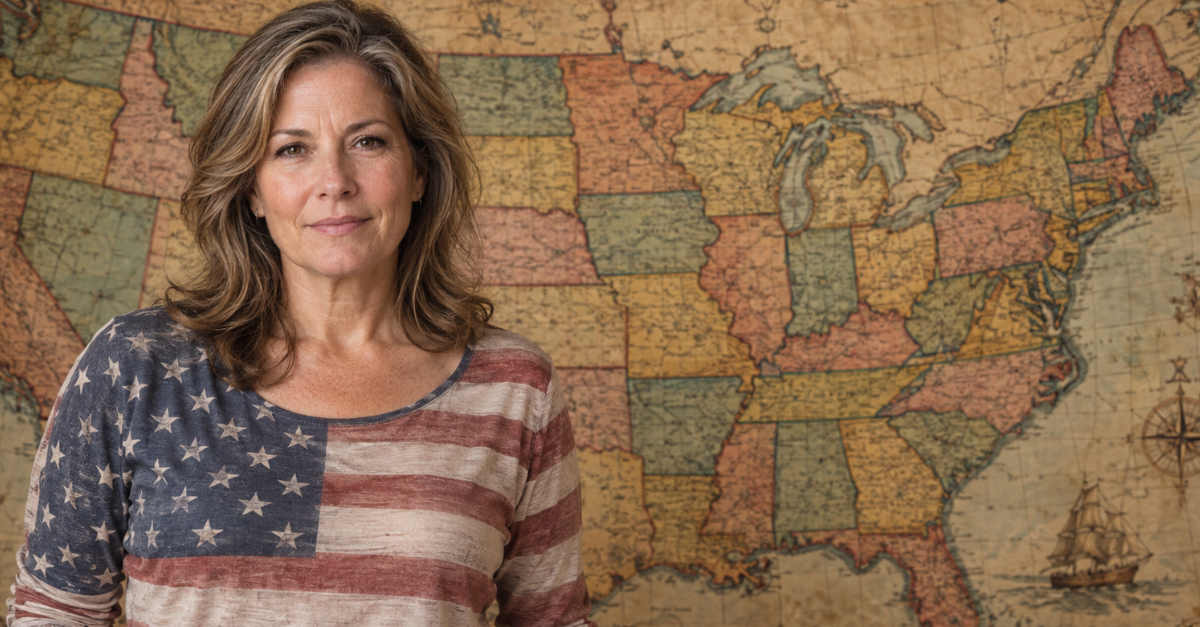
You probably learned all 50 state names in school. But probably not these names. Go back far enough, and some familiar places turn up under names you’d barely recognize. How many did you know about?
Vermont: New Connecticut
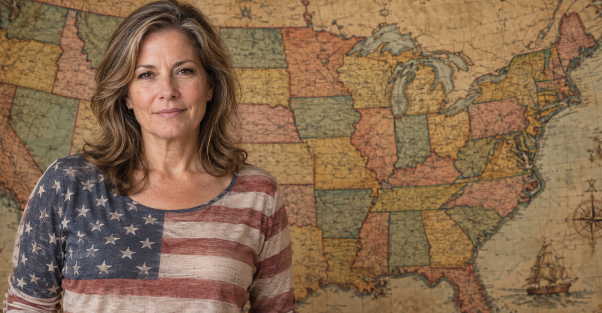
Apparently, one Connecticut wasn’t enough. In January 1777, the people declaring independence in what became Vermont called their new state “New Connecticut.” The name lasted only a few months before Vermont replaced it that June. Imagine planning a fall foliage trip to New Connecticut.
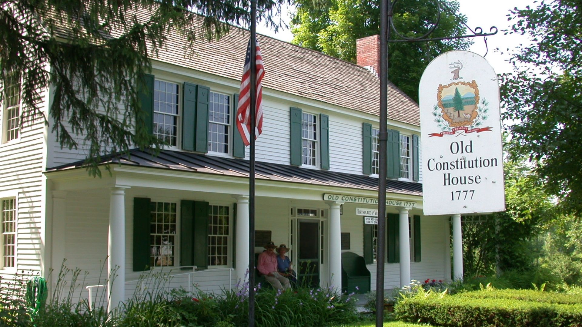 Holly Cheng, Wikimedia Commons
It Wasn’t Part Of Connecticut
The name reflected the many settlers who had arrived from Connecticut. The actual territorial dispute involved New York and New Hampshire, which had competing claims to the region. Vermont eventually joined the United States in 1791, long after dropping its borrowed name.
Hawaii: The Sandwich Islands
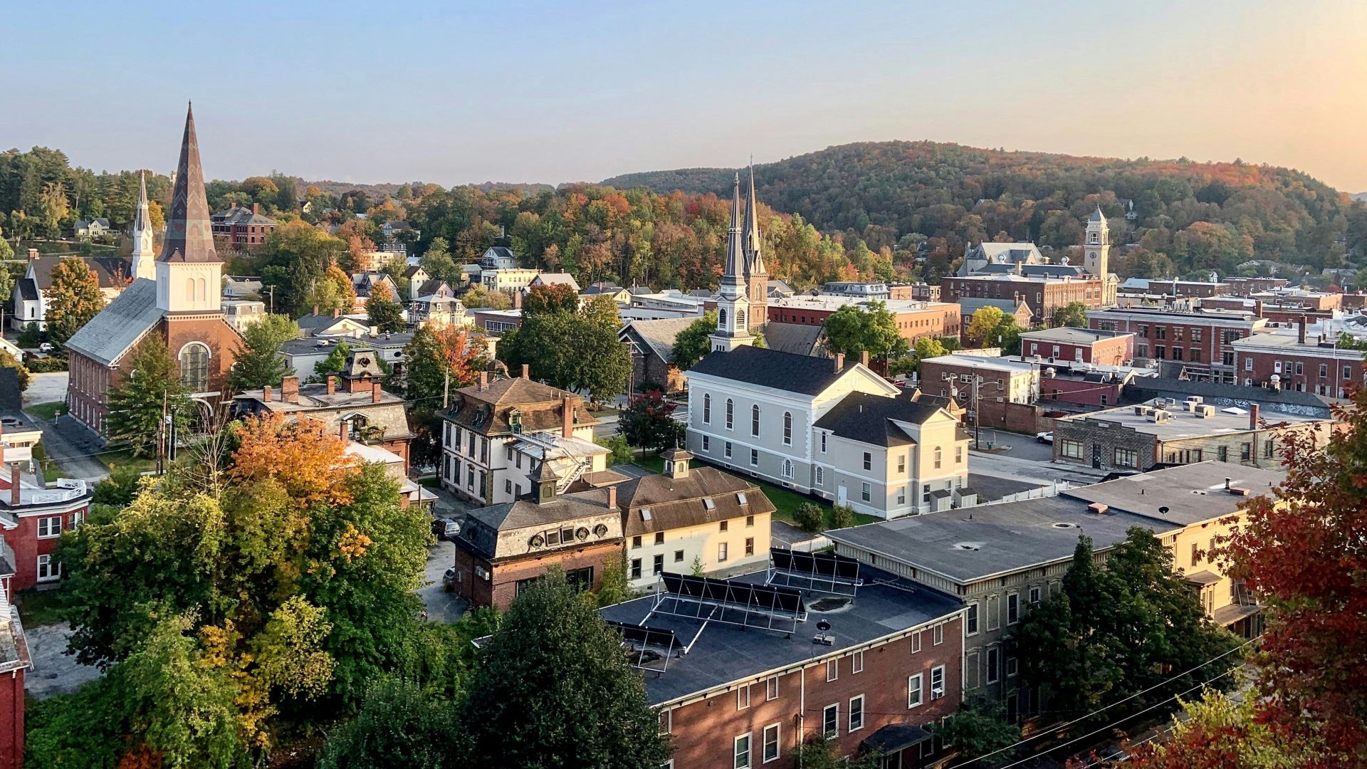
“Two tickets to the Sandwich Islands, please” sounds like the beginning of a very different vacation. But Sandwich Islands was a name used by foreign visitors for Hawaii following Captain James Cook’s arrival in 1778. It was an outsider’s label for islands with their own Hawaiian names and history.
New York: New Netherland
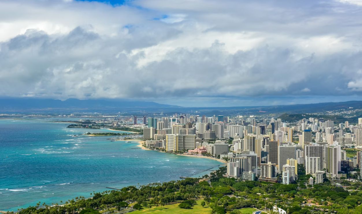
Before English rule, the Dutch colony of New Netherland included the Hudson Valley and land extending into several neighboring states. Its capital was New Amsterdam. The English takeover in 1664 brought the name New York, although the Dutch weren’t quite finished with the place.
The City Got Another Name, Too
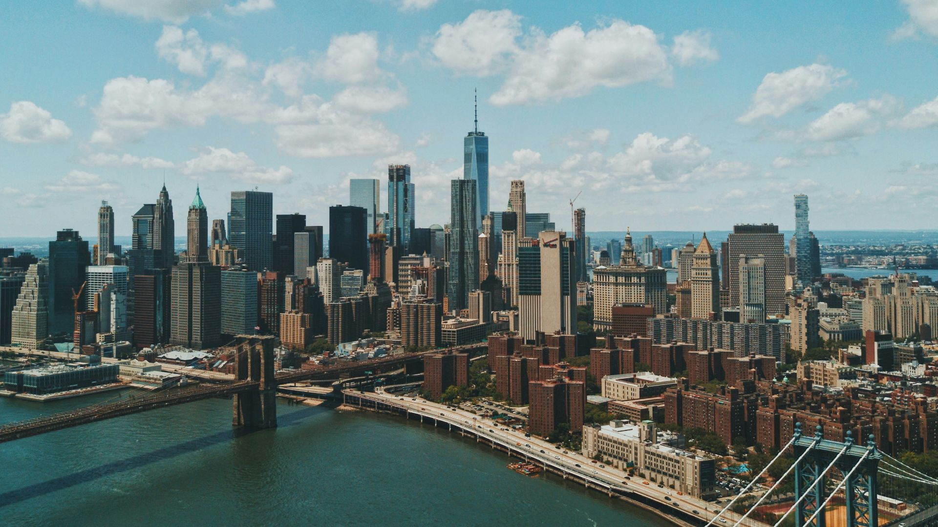
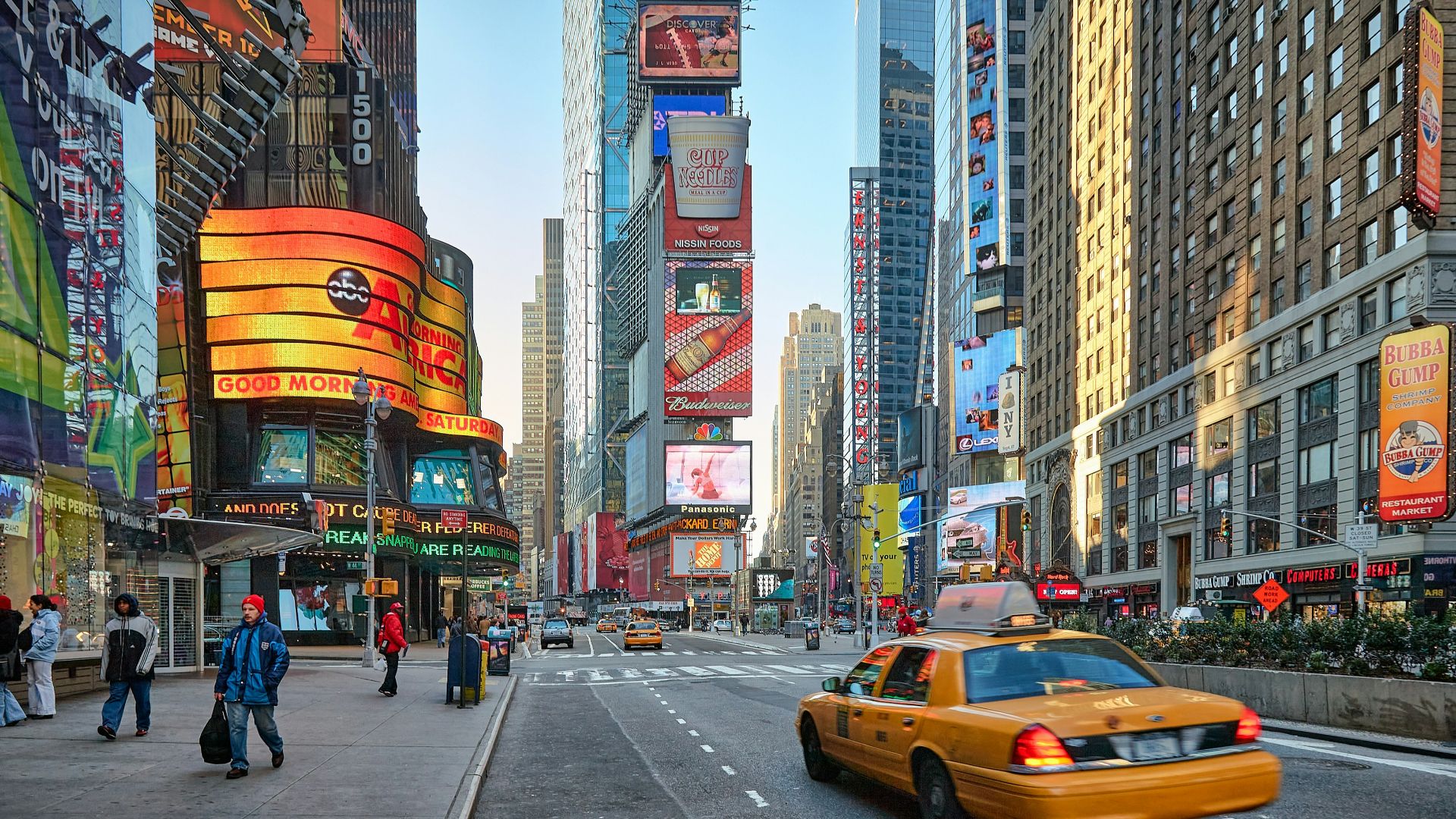
You’ve probably heard of New Amsterdam. New Orange might be less familiar. When the Dutch retook New York in 1673, they gave the city that name. It lasted about a year before English control returned. Even after becoming New York, the naming apparently wasn’t settled.
 Vidar Nordli-Mathisen, Unsplash
Maine: New Somersetshire
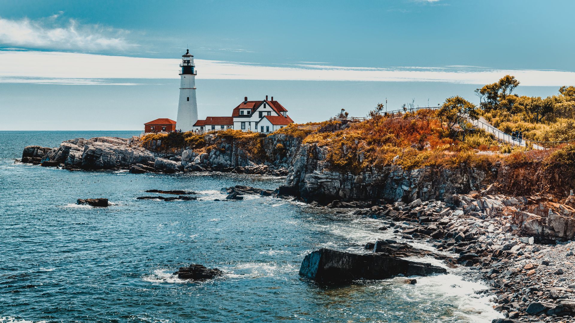
Before it was Maine, a large portion of the region was called New Somersetshire. Ferdinando Gorges began using the name after dividing his New England territory with John Mason in 1629. King Charles I apparently wasn’t impressed and later ordered that it be called the Province of Maine.
Maine Also Had Lygonia
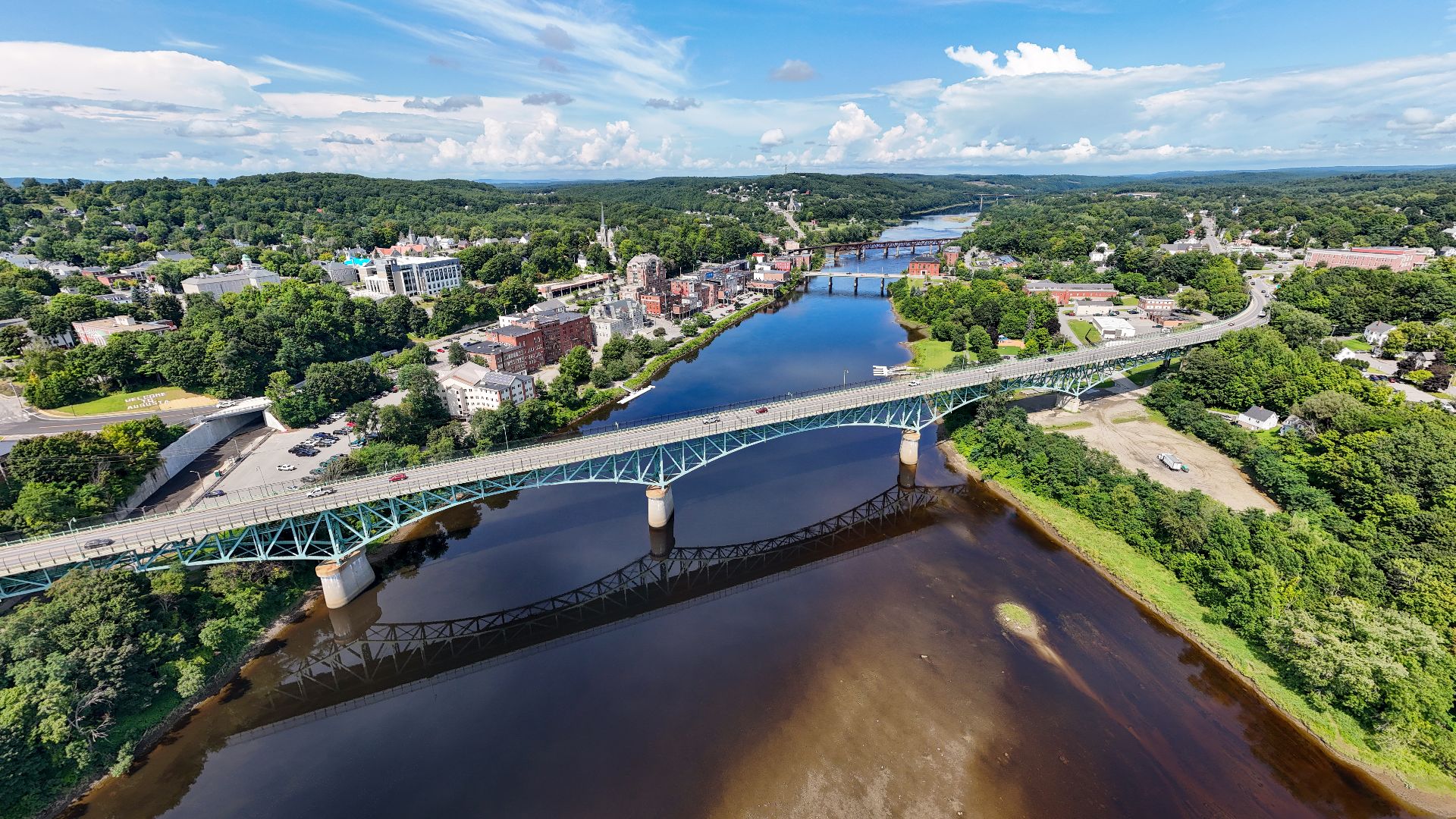
Because Maine’s early map wasn’t confusing enough, part of the region became the Province of Lygonia under a separate land grant. Lygonia even operated with its own government before Massachusetts absorbed it during the 1650s. Maine took a surprisingly long route to becoming Maine.
 Quintin Soloviev, Wikimedia Commons
Utah: Deseret
In 1849, Mormon settlers established a provisional government called Deseret in the Great Basin. Congress never recognized it as a state, but its government operated, passed laws and organized communities. Congress created Utah Territory in 1850, and the provisional Deseret government dissolved the following spring.
Deseret Had Very Big Plans
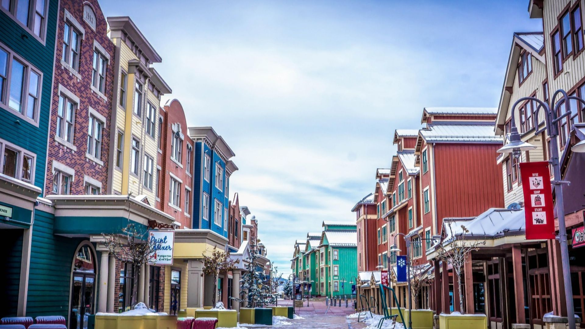
Deseret’s proposed boundaries stretched far beyond modern Utah, even reaching toward the Pacific around San Diego. Its name means “honeybee” in the Book of Mormon, which helps explain Utah’s familiar beehive symbolism. The proposed state disappeared, but that part of its identity stuck around.
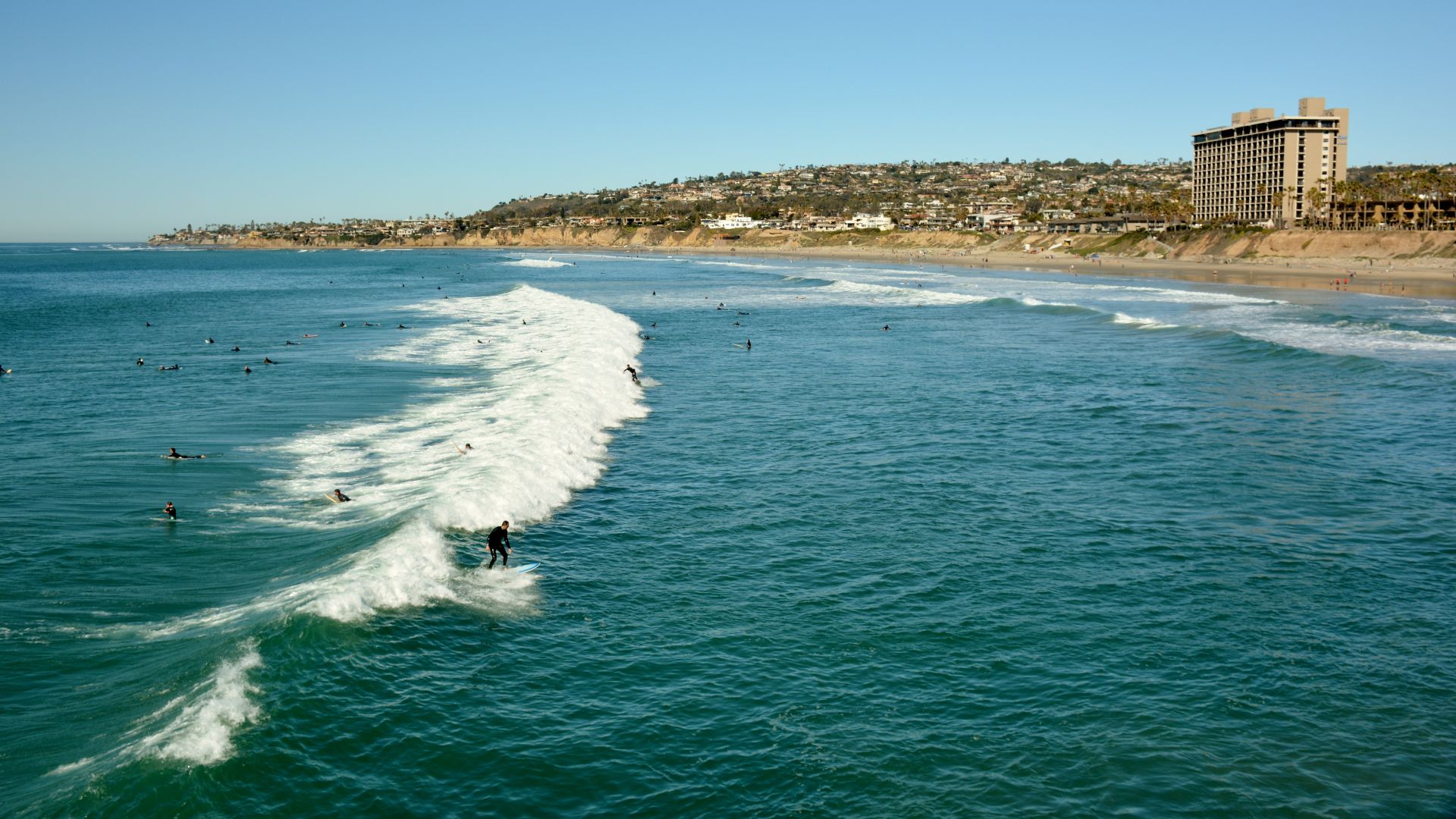 Roman Eugeniusz, Wikimedia Commons
Delaware’s Earlier Chapter: New Sweden
Sweden once had a colony along the Delaware River. Established in 1638, New Sweden included settlements in parts of present-day Delaware, Pennsylvania and New Jersey. Its center was Fort Christina in what became Wilmington. The Dutch took control in 1655, ending Sweden’s brief colonial venture there.
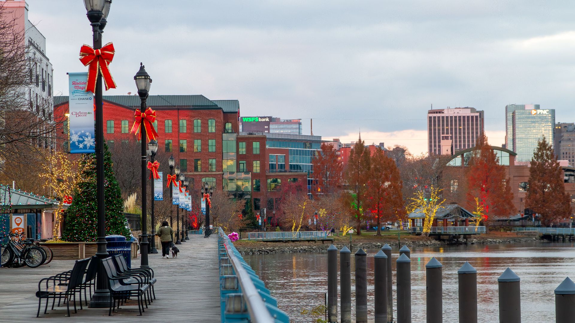
Then It Became The Lower Counties
Delaware later went by the considerably less glamorous “Three Lower Counties on the Delaware” under William Penn’s proprietorship. The counties gained their own assembly in 1704 but shared Pennsylvania’s governor until 1776. Going from New Sweden to the Lower Counties feels like a downgrade in the naming department.
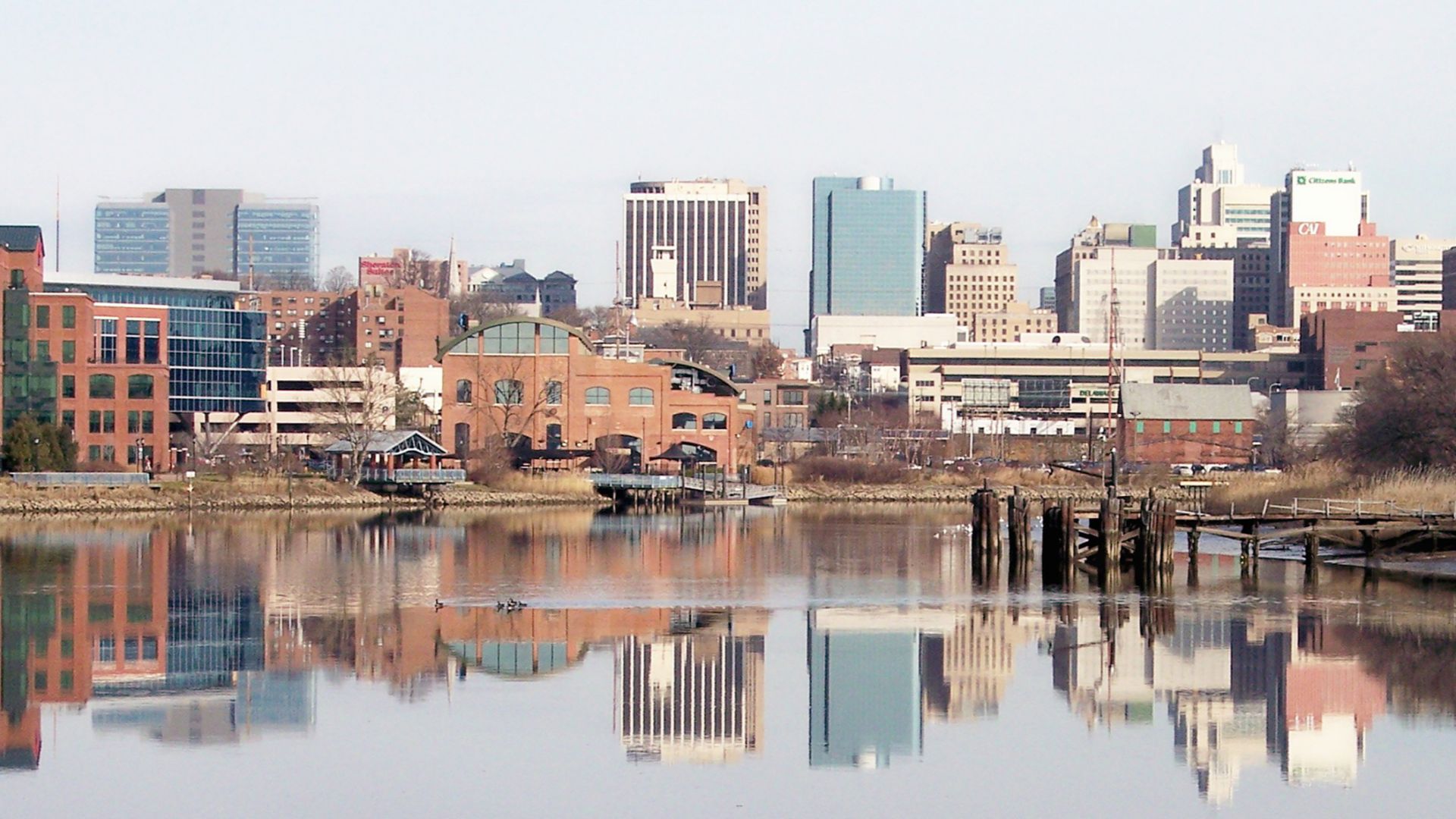 Tim Kiser (User:Malepheasant), Wikimedia Commons
New Jersey: East Jersey And West Jersey
New Jersey was once split into East Jersey and West Jersey, each with its own proprietors and government. The two remained separate until their proprietors surrendered governing authority to the Crown in 1702. Apparently, one New Jersey wasn’t enough to contain all the colonial paperwork.

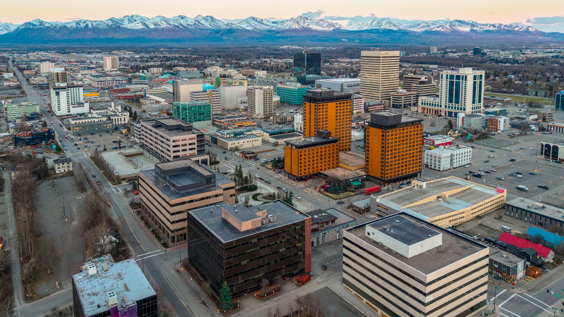
Alaska: Russian America
Before the United States purchased Alaska in 1867, Russia’s possessions there were known as Russian America. This wasn’t an obscure proposed name: it appeared on maps. The Library of Congress even holds a map titled “Russian America or Alaska Territory,” capturing both identities together.
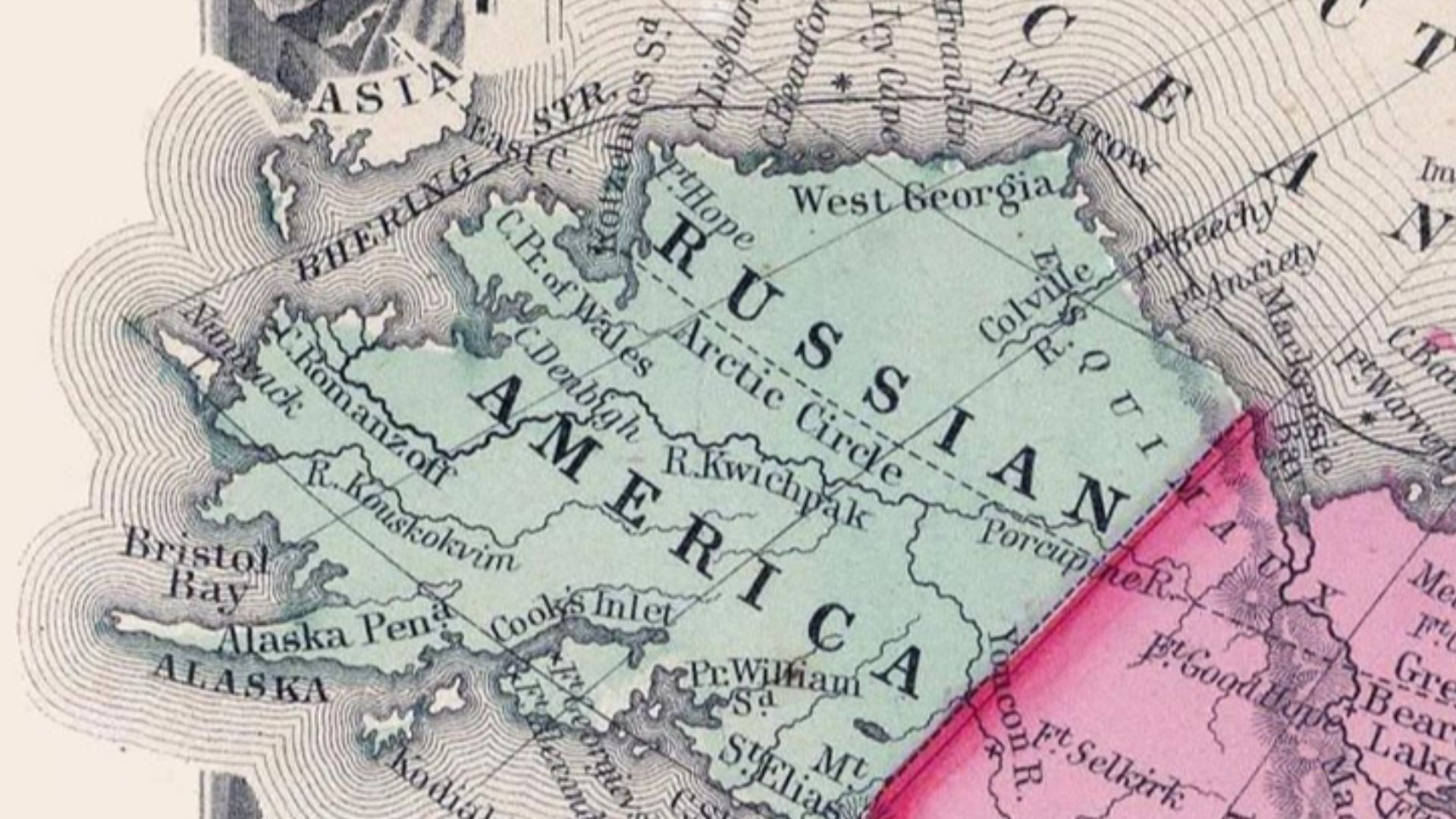 Original uploader was Flux.books at en.wikipedia, Wikimedia Commons
A New Owner For $7.2 Million
The United States agreed to pay Russia $7.2 million for Alaska in 1867. That purchased an enormous addition to the country, although Alaska wouldn’t become a state until 1959. Russian America had disappeared from the political map decades before the American flag gained its 49th star.
 Quintin Soloviev, Wikimedia Commons
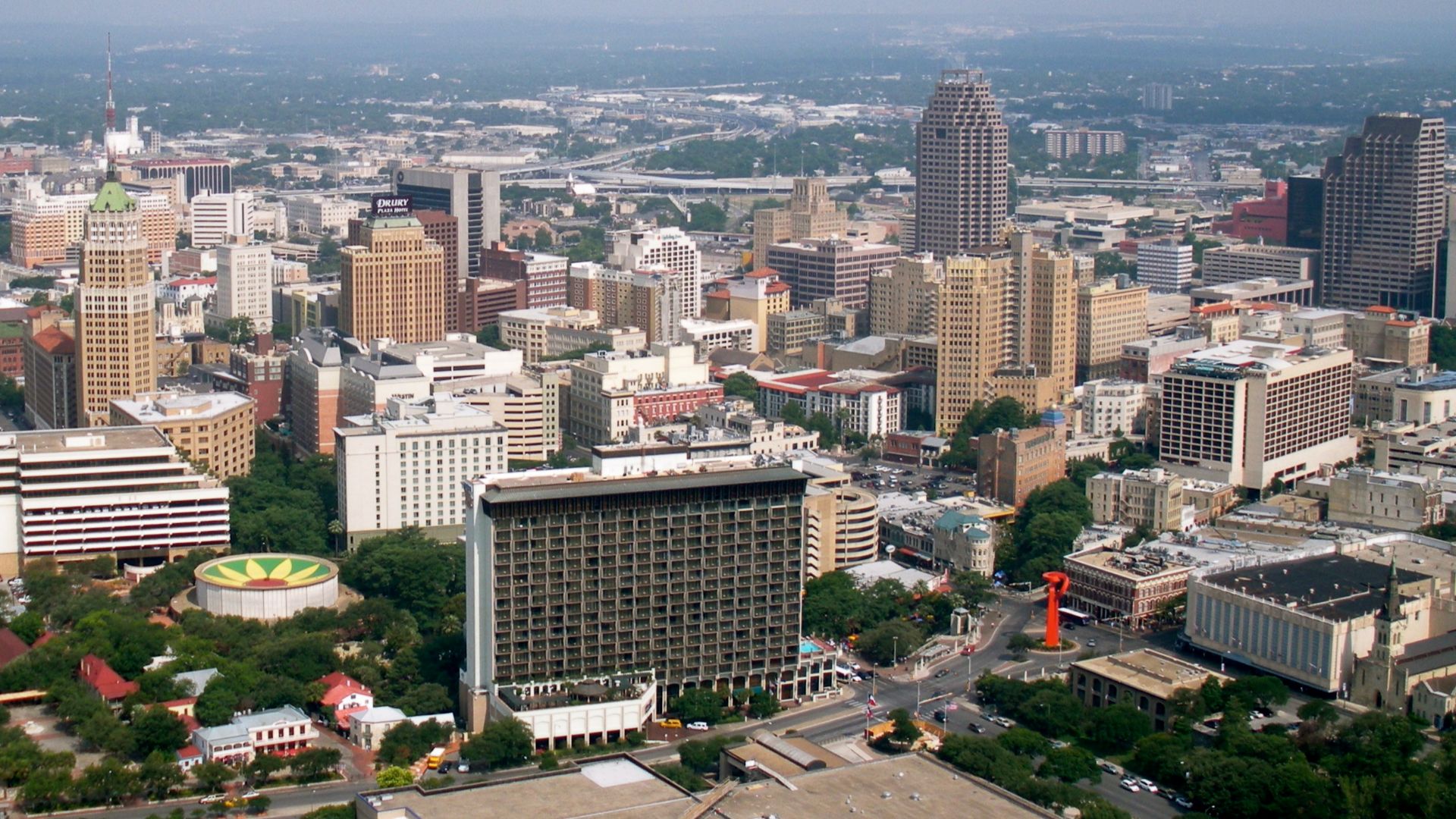
South Texas: Nuevo Santander
Parts of South Texas once belonged to Nuevo Santander, a Spanish province established in 1746 that also included today’s Mexican state of Tamaulipas. Laredo was one of its settlements. Back then, crossing the Rio Grande there didn’t mean crossing the international border familiar to travelers today.
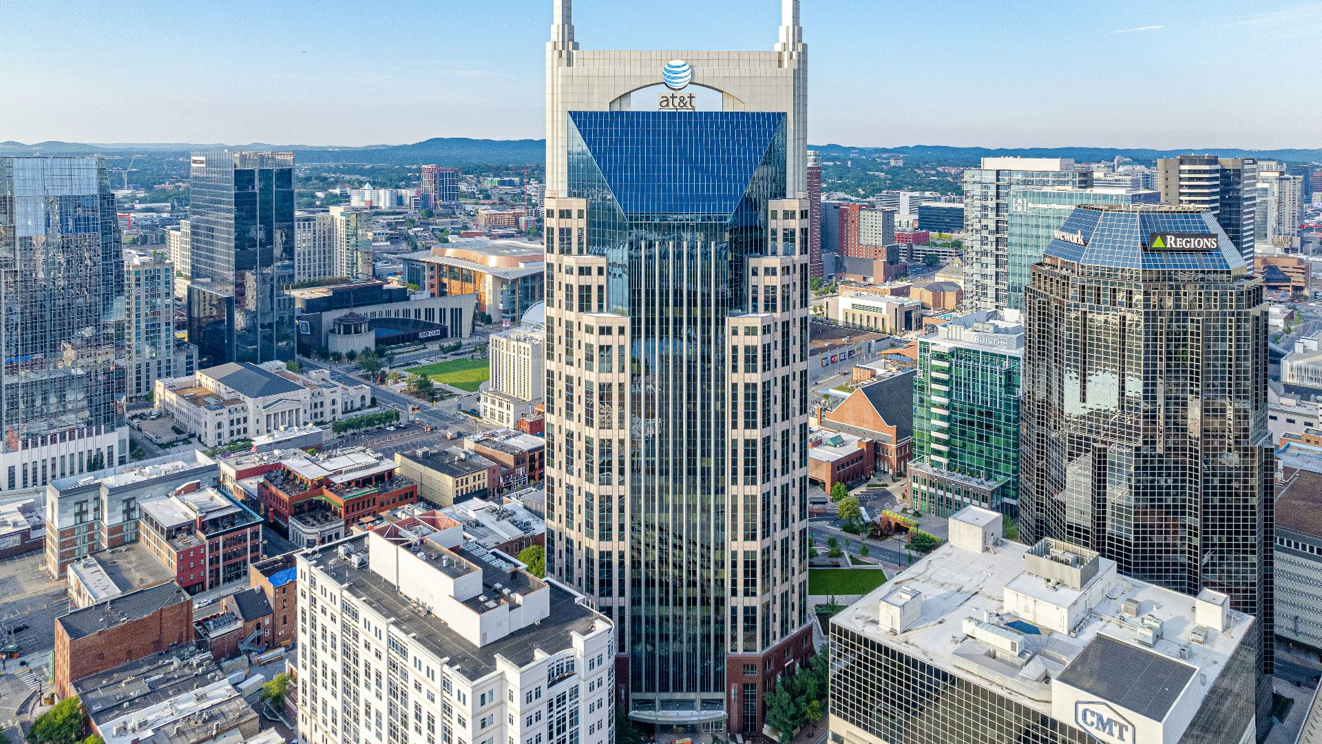
Tennessee: Southwest Territory
Today, “the Southwest” probably makes you think of Arizona or New Mexico. In the 1790s, it could mean Tennessee. The region was commonly called the Southwest Territory from 1790 until statehood in 1796. America’s idea of what counted as west still had a long way to travel.
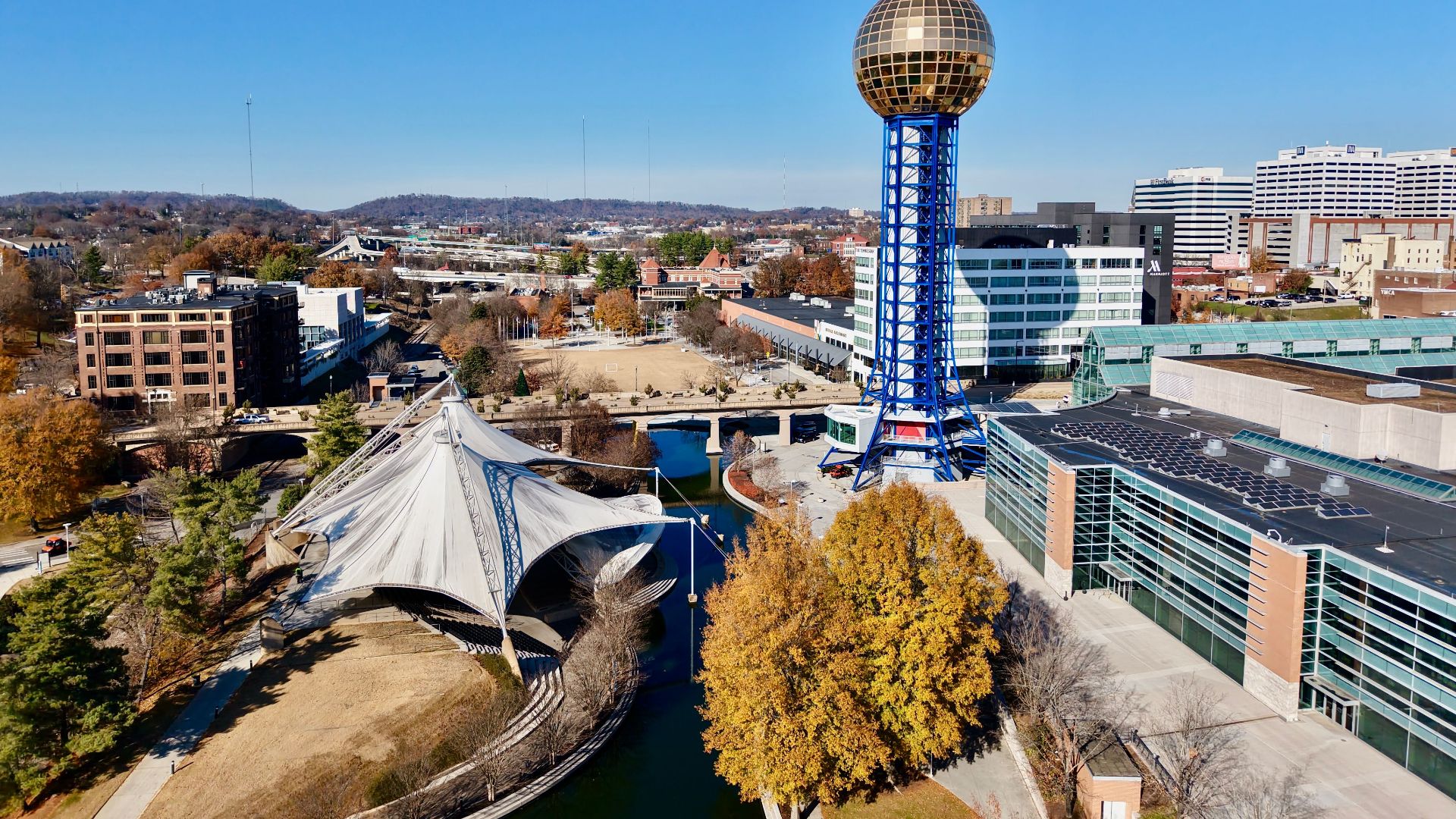
Tennessee Also Had Franklin
Before the Southwest Territory, part of present-day East Tennessee tried running its own state called Franklin. The movement began in 1784 and established a government led by John Sevier. Congress never admitted it, and by early 1789 the effort had largely fallen apart.
Kentucky: Transylvania
In 1775, Richard Henderson’s land company attempted to establish a colony called Transylvania across much of present-day Kentucky. Settlers organized a government at Boonesborough, but Virginia rejected Henderson’s land claim. Transylvania disappeared, leaving Kentucky with one of America’s strangest almost-forgotten identities.

California’s Coast: Nova Albion
In 1579, Francis Drake claimed land on the California coast for England and called it Nova Albion, or New Albion. This was an English claim in a region already inhabited by Indigenous peoples, rather than a former official name for the entire modern state. Still, it’s quite a different California label.
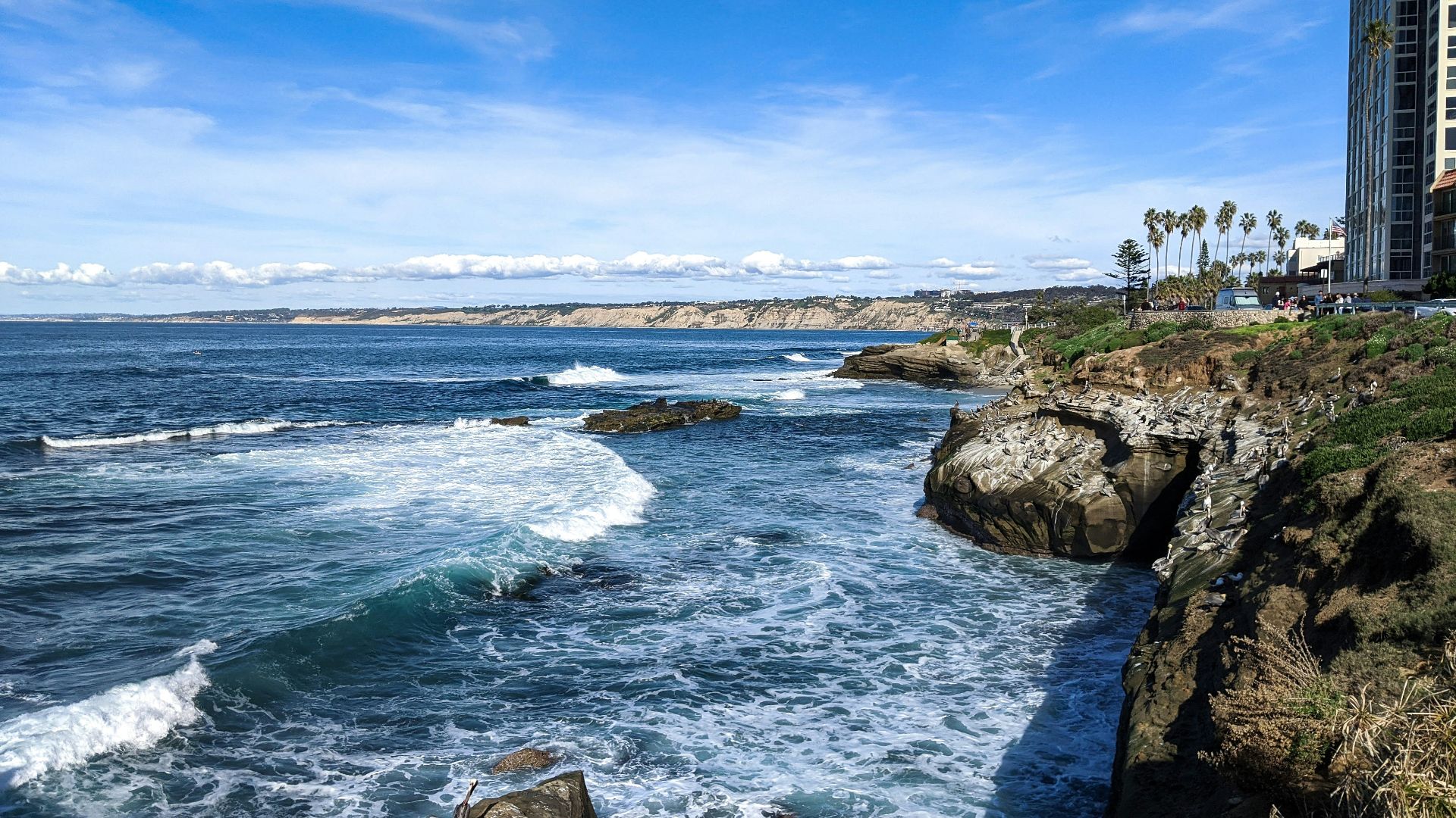
Louisiana: Territory Of Orleans
Between 1804 and 1812, the territory that became the core of Louisiana was officially the Territory of Orleans. That makes intuitive sense, given New Orleans. But it also means the place on an early American map labeled “Louisiana” wasn’t necessarily the future state you’re picturing.

Florida: East Florida And West Florida
When Britain gained Florida from Spain in 1763, it divided the territory into two colonies: East Florida, governed from St. Augustine, and West Florida, governed from Pensacola. For about 20 years, the future Sunshine State was two Floridas with two capitals.
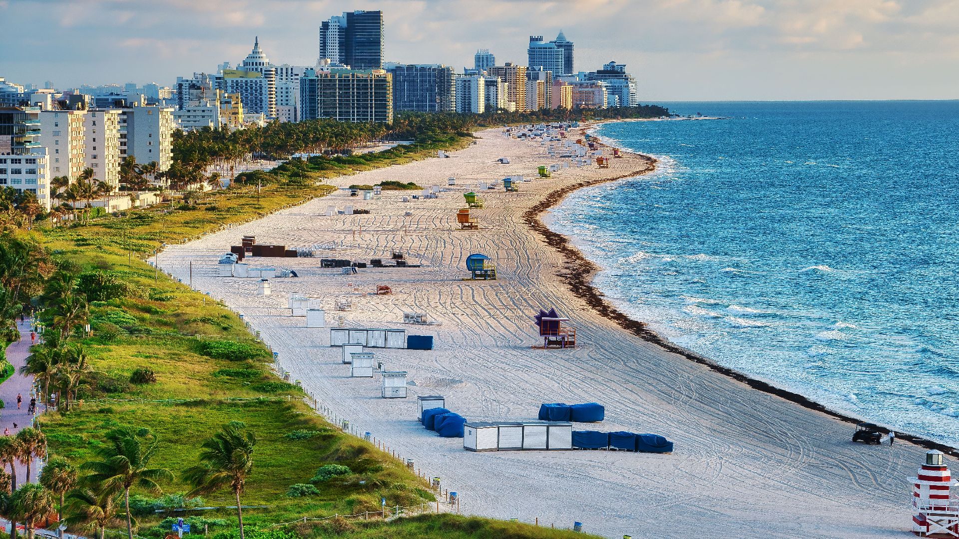
Colorado: Jefferson Territory
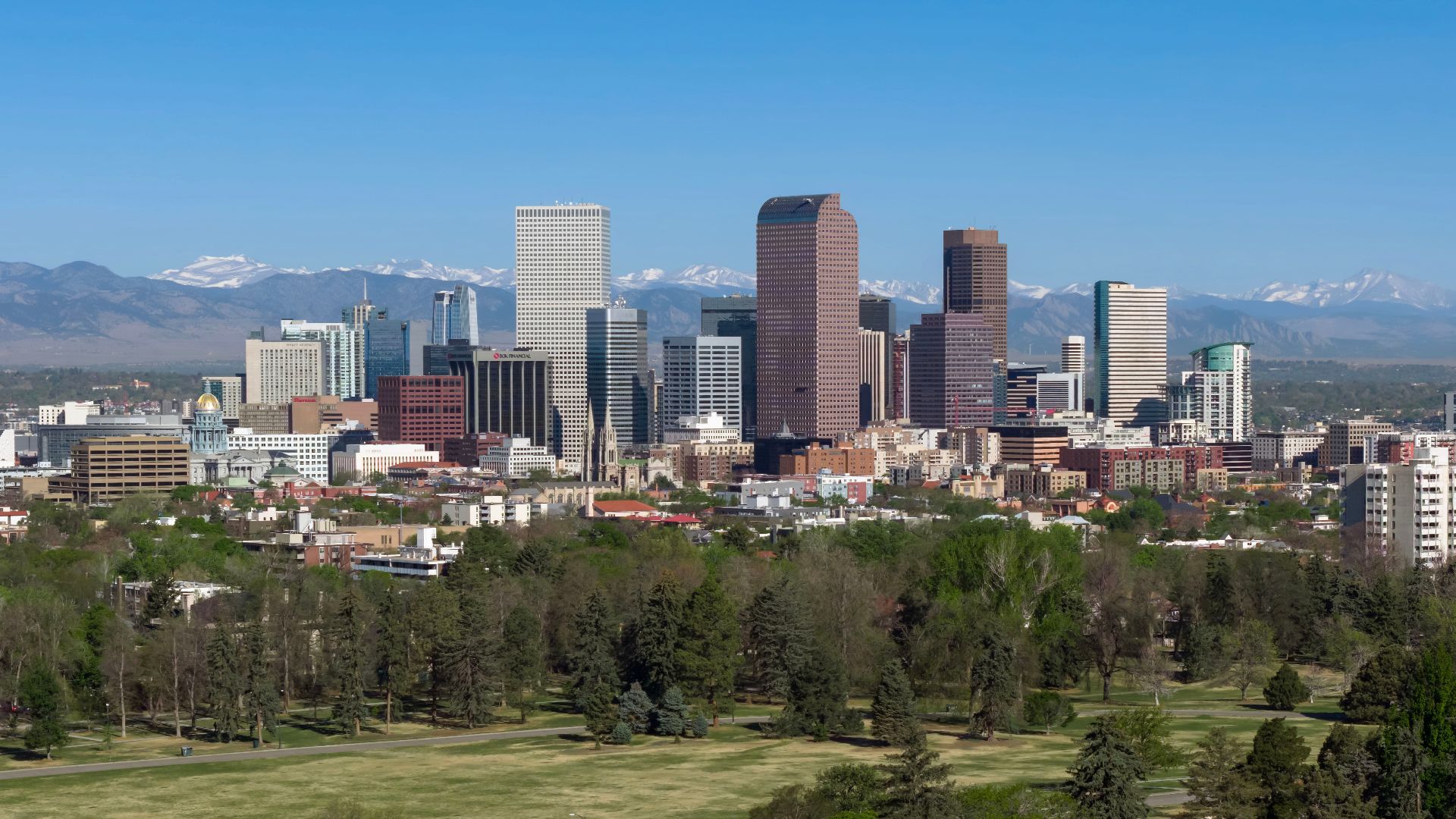
Before Colorado Territory existed, settlers organized the provisional Jefferson Territory in 1859. It covered modern Colorado and portions of surrounding states. Washington never formally recognized it, but the local government functioned until 1861. “Jefferson” was more than a name somebody suggested and immediately forgot.
 Quintin Soloviev, Wikimedia Commons
Oklahoma: Indian Territory
Before statehood, present-day Oklahoma was divided between Oklahoma Territory and Indian Territory. The latter covered much of the eastern portion and was home to tribal nations with their own governments. The two territories joined to form the state of Oklahoma in 1907.
![500px provided description: Downtown Tulsa Southern Skyline [#sky ,#city ,#winter ,#downtown ,#blue ,#urban ,#cityscape ,#building ,#skyline ,#clear ,#south ,#sky-scraper ,#Oklahoma ,#Tulsa]](https://www.factinate.com/storage/app/media/splashtravels/2026/9/17/178965278386aa175f44adeeb4a6595af2e4371483fb2f30d8.jpeg)
So...Did You Know Five?
If you knew five of these old names, your history classes apparently covered more ground than most. Bonus points if New Connecticut didn’t sound made up.
You Might Also Like: