

Where The Pioneers Left Their Mark
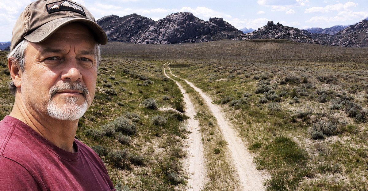
Nearly two centuries ago, thousands of American pioneers headed west in covered wagons, following a route that would become legendary. Remarkably, their wagon wheels left scars on the landscape that can still be seen today. From deep grooves carved into sandstone to parallel tracks crossing lonely prairies, these surviving remnants offer an extraordinary glimpse into one of America's greatest migrations. (Above: Oregon Trail tracks at Sun Ranch, near Independence Rock, Wyoming)
 James L. Amos/Corbis via Getty Images; Factinate Ltd
Not Lewis And Clark’s Trail
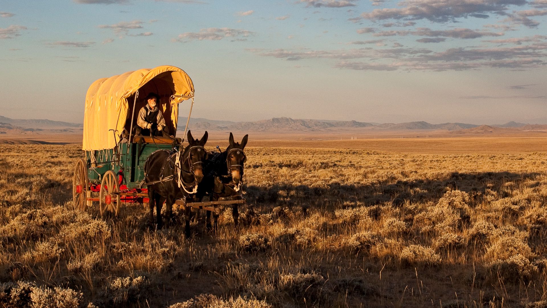
The Oregon Trail wasn't the same route as the Lewis and Clark expedition. Lewis and Clark explored the West in 1804–1806, while the Oregon Trail became a major overland emigrant route beginning in the 1840s. Although their routes overlapped in places, the wagon trail developed separately, carrying settlers toward the Pacific Northwest.
 Bureau of Land Management, Wikimedia Commons
Santa Fe Trail Park, Missouri
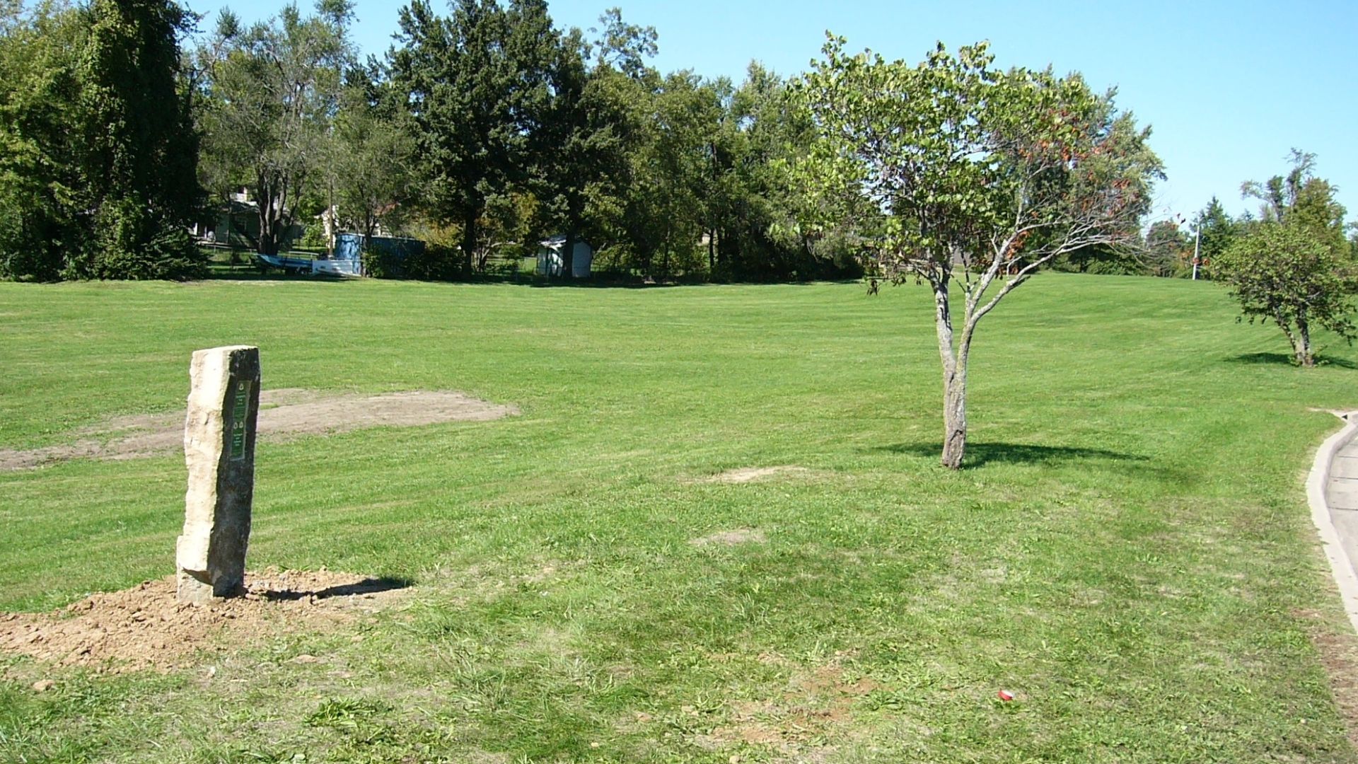
In Independence, Missouri, visitors can find approximately a quarter-mile of surviving wagon swales at Santa Fe Trail Park. These grassy depressions were formed by travelers using the Oregon, California, and Santa Fe trails. It's a remarkable reminder that the great westward migration began in places now surrounded by modern suburban development.
 NPS Staff (Photo Credit: NPS), Wikimedia Commons
Bingham-Waggoner Estate, Missouri
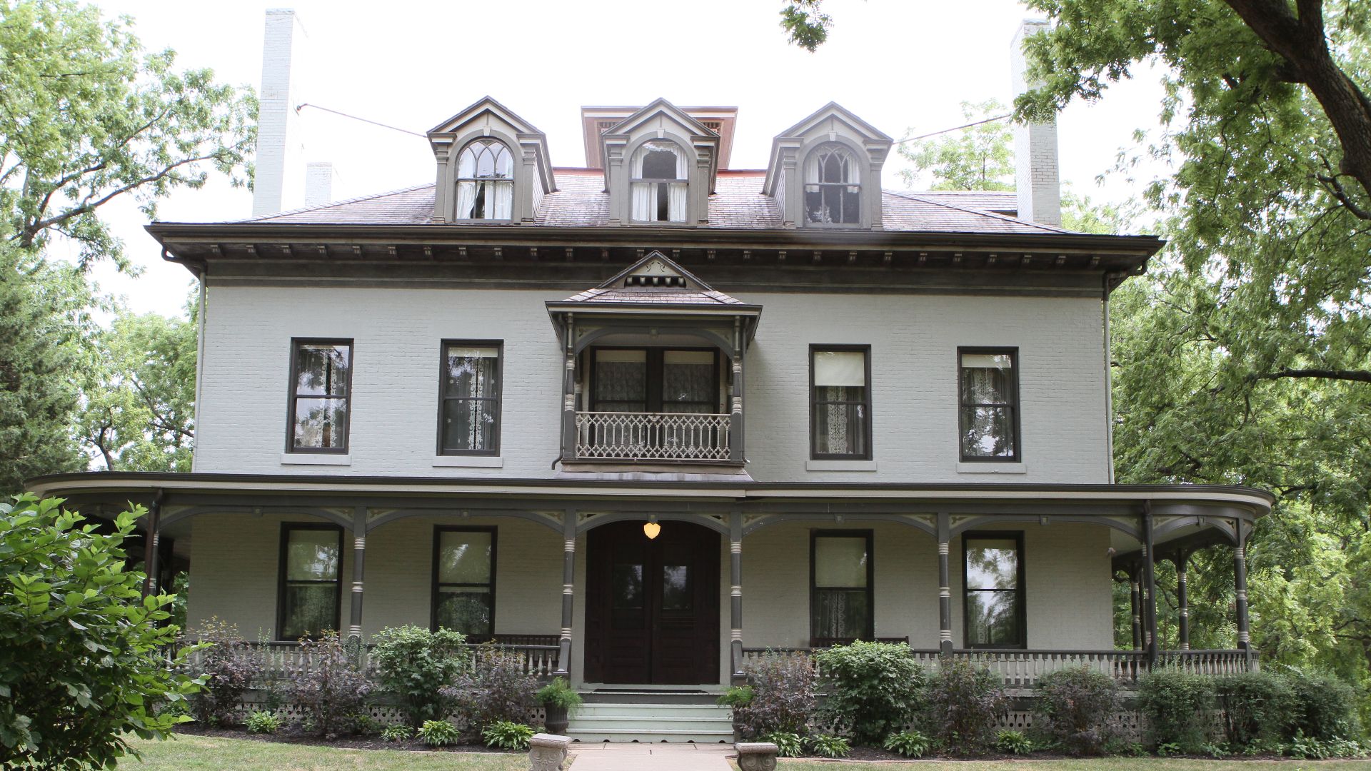
Another surprising remnant survives near the historic Bingham-Waggoner Estate in Independence. The property preserves a landscape closely associated with the early emigrant routes, and nearby wagon swales align with those at Santa Fe Trail Park. Visitors can explore the grounds and imagine the enormous wagon trains once passing through this part of Missouri.
 Melissa Kothe, Wikimedia Commons
Wieduwilt Swales, Missouri
Kansas City preserves another extraordinary reminder of westward migration at the Wieduwilt Swales, also called the 85th Street Ruts. Thousands of wagons and livestock created deep depressions along the shared Oregon, California, and Santa Fe trail corridor. Today, grass covers the original tracks, but their distinctive contours remain visible.
Lone Elm Campground, Kansas
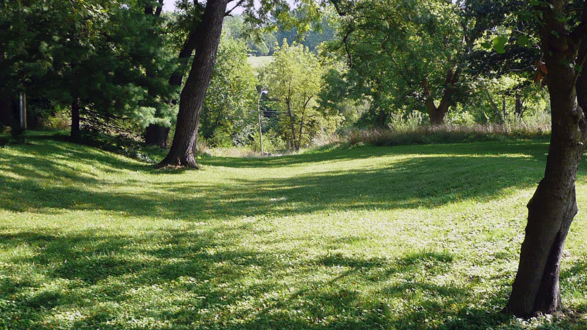
Near Olathe, Kansas, Lone Elm Park preserves the site where many emigrants spent their first night after leaving the Missouri River. Travelers gathered here before beginning the long journey west. Surviving wagon swales near the historic creek crossing provide a tangible connection to those anxious first days on the trail.
Alcove Spring, Kansas
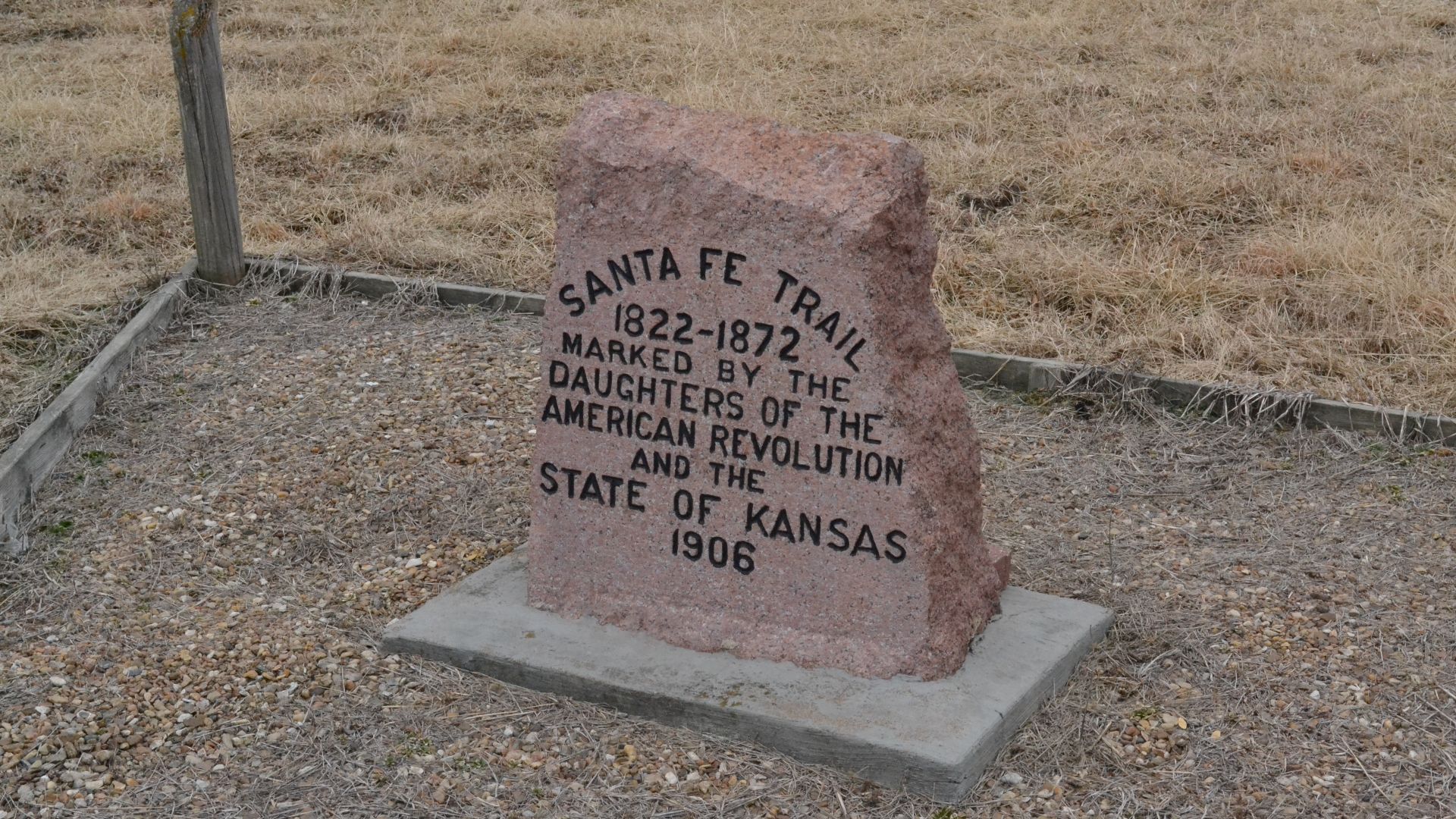
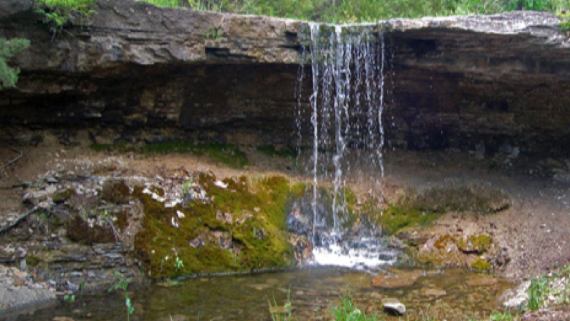
Near Blue Rapids, Alcove Spring offers one of Kansas's most atmospheric Oregon Trail experiences. A walking path crosses several visible wagon swales before reaching the wooded landscape surrounding the historic spring. Emigrants stopped here for water, and the area's uneven terrain helped preserve traces of their passage.
 PowercatPark, Wikimedia Commons
Scotts Bluff National Monument, Nebraska
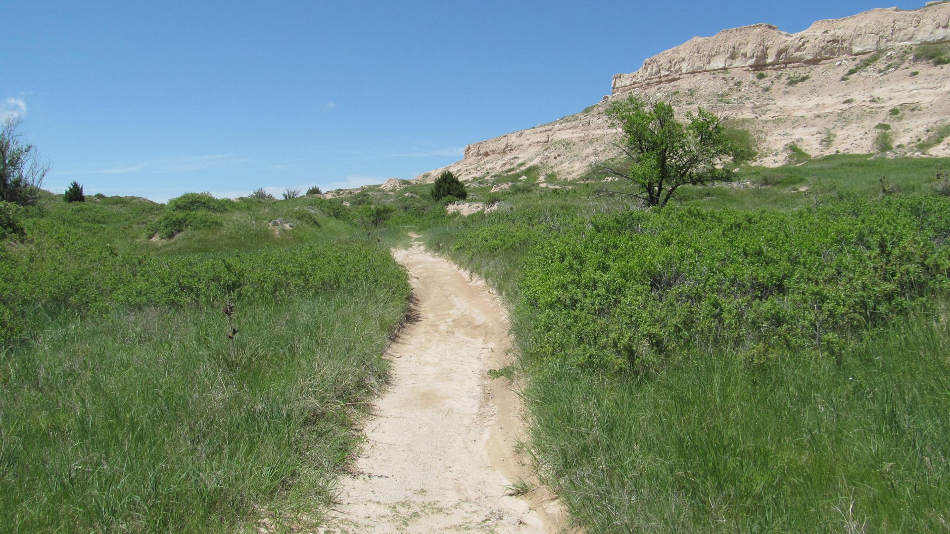
The towering formations of Scotts Bluff were among the Oregon Trail's most recognizable landmarks. Today, visitors can explore surviving trail traces along a designated walking route with interpretive signs. The landscape offers an unusually powerful sense of the challenges facing emigrants who traveled west through Nebraska's Platte River valley.
 Doug Kerr from Albany, NY, United States, Wikimedia Commons
California Hill, Nebraska
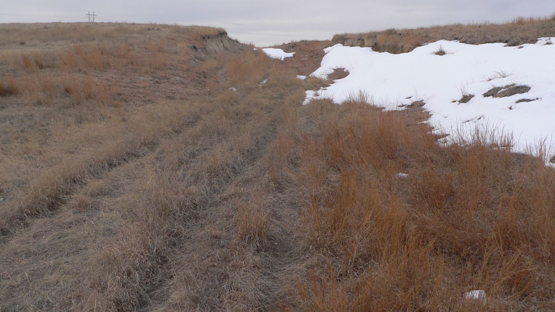
Near Brule, California Hill preserves the evidence of a particularly exhausting climb. Wagons had to ascend approximately 240 feet over a mile and a half after crossing the South Platte River. Their wheels and draft animals wore deep tracks into the hillside, which remain visible to visitors today.
Windlass Hill, Nebraska
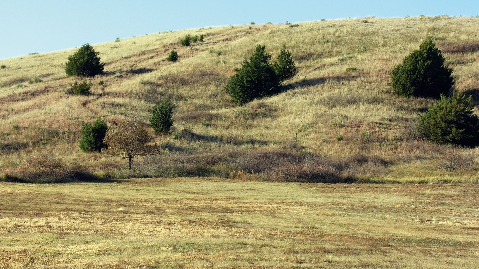
At Ash Hollow State Historical Park, Windlass Hill shows just how dangerous descending a steep slope could be. Emigrants sometimes locked their wagon wheels to prevent runaway descents. Thousands of dragging wheels carved pronounced ruts into the hillside. The surviving scars are among Nebraska's most dramatic reminders of the migration.
 NPS Staff (Photo Credit: NPS), Wikimedia Commons
O'Fallon's Bluff, Nebraska
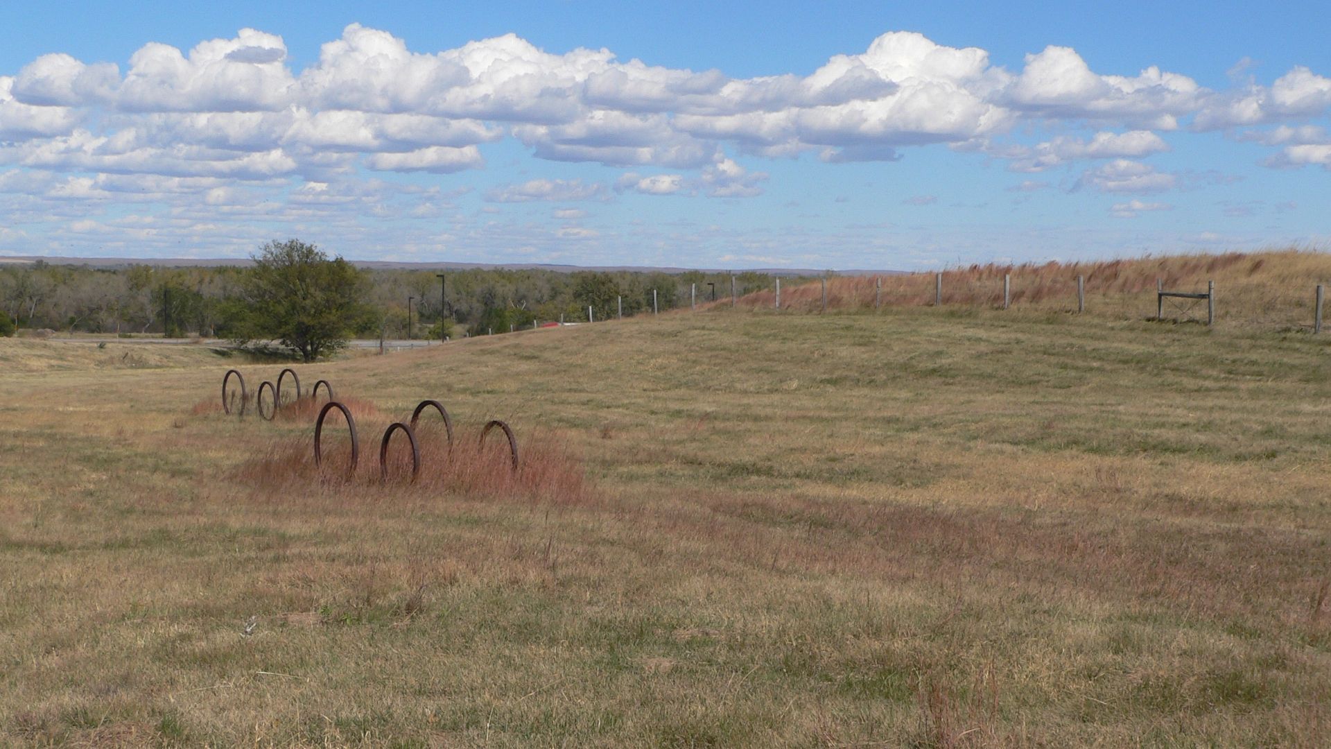
Along the Platte River near Sutherland, emigrants encountered a long stretch of bluffs that forced their wagons away from the easier riverbank route. Repeated travel created noticeable depressions in the ground. Visitors can see surviving wagon ruts near the Sutherland Rest Area, where the historic route remains identifiable.
Guernsey Ruts, Wyoming
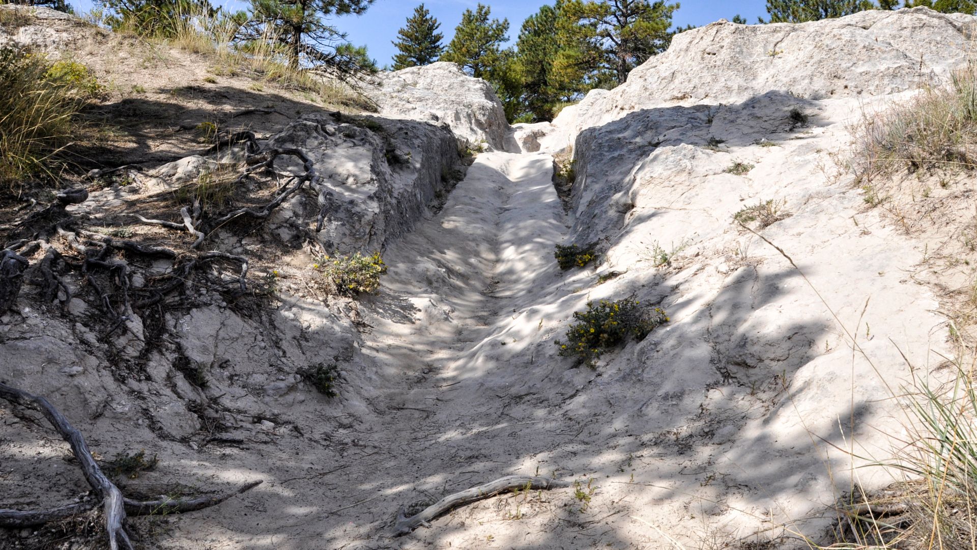
Few places preserve the Oregon Trail more dramatically than the Guernsey Ruts. Near Guernsey, thousands of wagons crossed the same sandstone ridge, wearing channels as much as five feet deep. Visitors can walk beside these extraordinary grooves and see how generations of travelers gradually carved their passage into solid rock.
 Paul Hermans, Wikimedia Commons
Bedlam Ruts, Wyoming
West of Fort Laramie, the Bedlam Ruts preserve a stretch of original trail across approximately 40 acres of public land. Unlike sites where the historic route has been heavily developed, this landscape remains relatively open. Visitors can walk among the swales and appreciate the remarkable persistence of the emigrants' wagon tracks.
Independence Rock, Wyoming
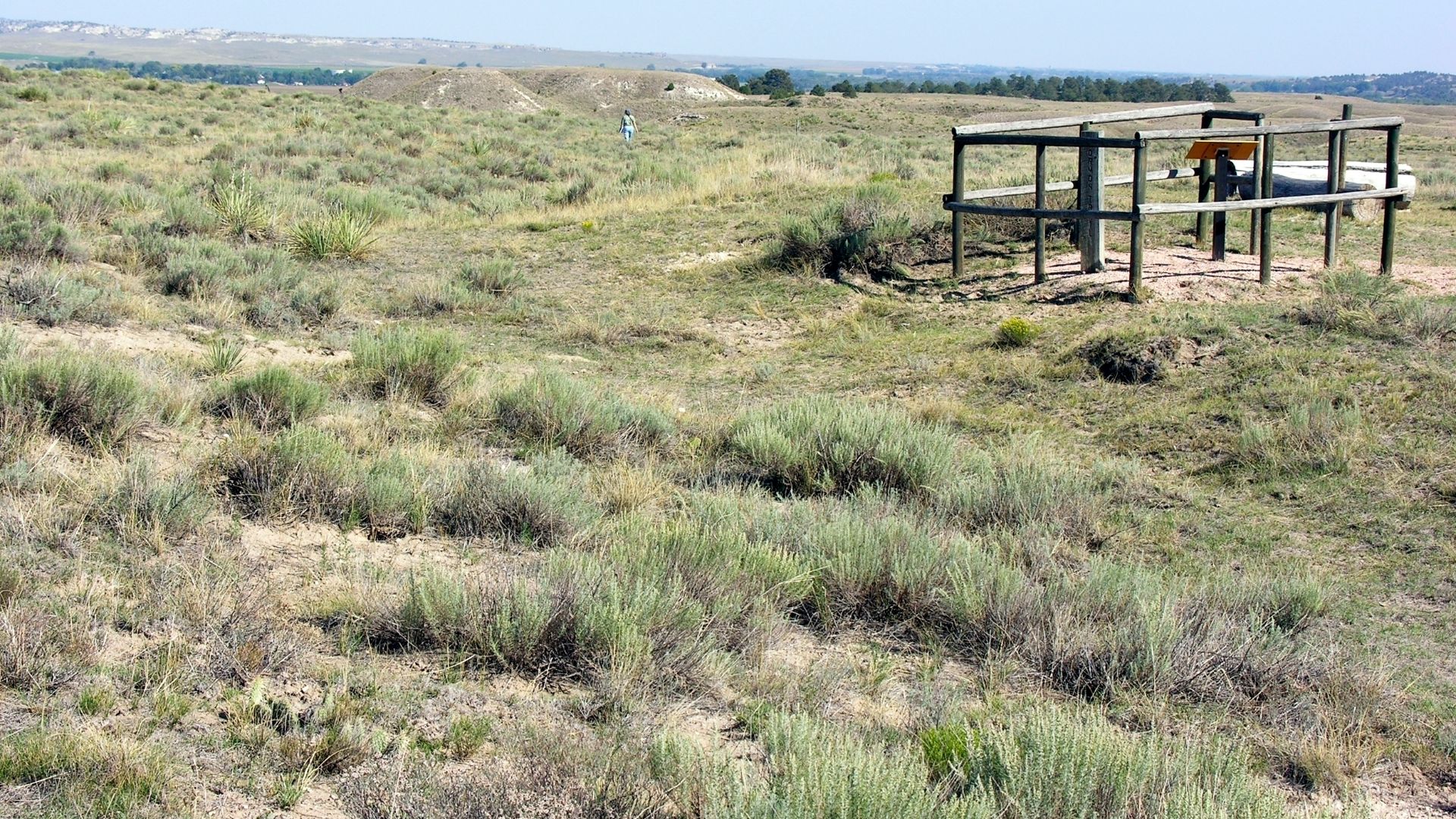
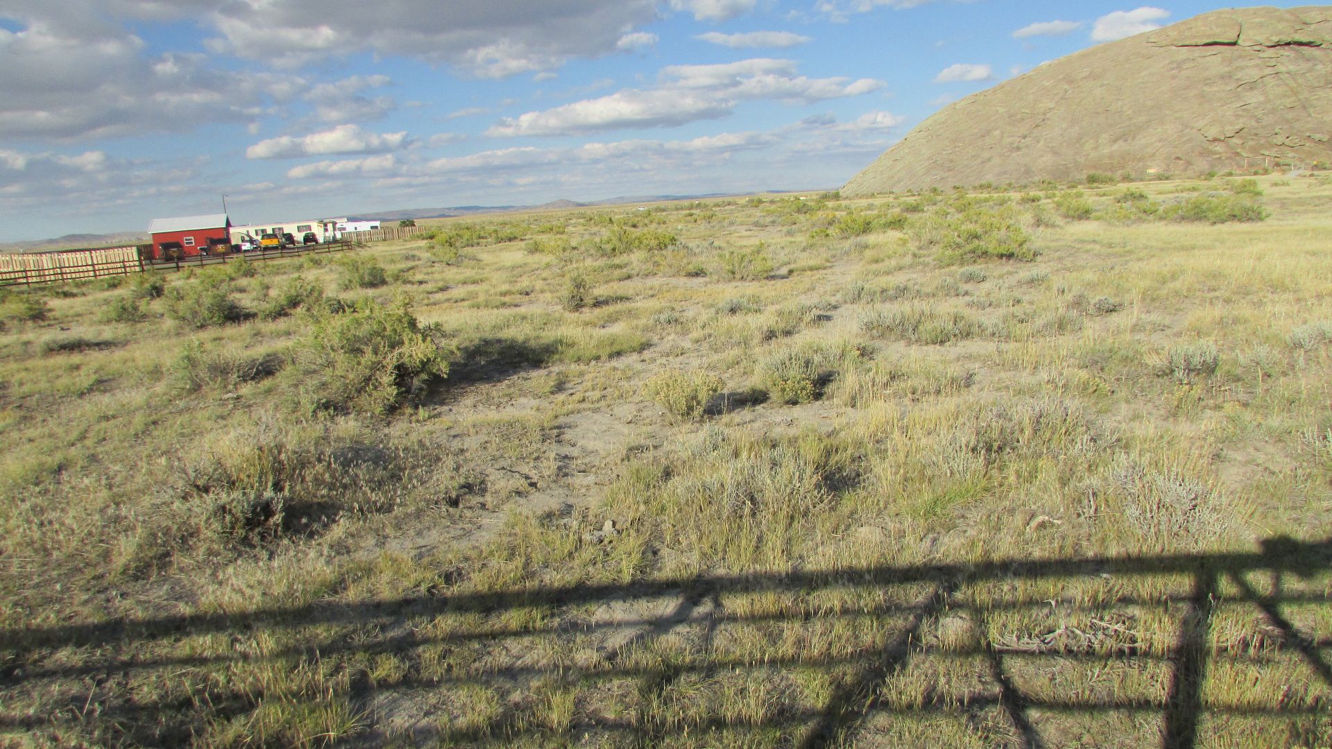
One of the Oregon Trail's most famous landmarks, Independence Rock was a welcome sight for emigrants crossing central Wyoming. Travelers carved their names into the enormous granite formation, hoping to reach it by July 4 to ensure they could cross the mountains before winter. Today, visitors can explore the historic site and see a surviving wagon swale passing beneath a footbridge along the walking path. The combination of original wagon tracks and 19th-century inscriptions makes Independence Rock an especially evocative reminder of the westward migration.
 Chris Light, Wikimedia Commons
South Pass, Wyoming
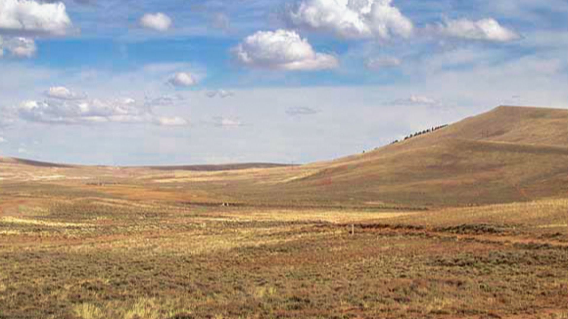
South Pass was one of the most important geographical discoveries in the history of westward migration. Its broad, relatively gentle opening through the Rocky Mountains allowed wagons to cross the Continental Divide. Near the summit, visitors can still see historic trail depressions and walk along a surviving section of the original route.
 Bernie Kohl, Wikimedia Commons
Big Hill, Idaho
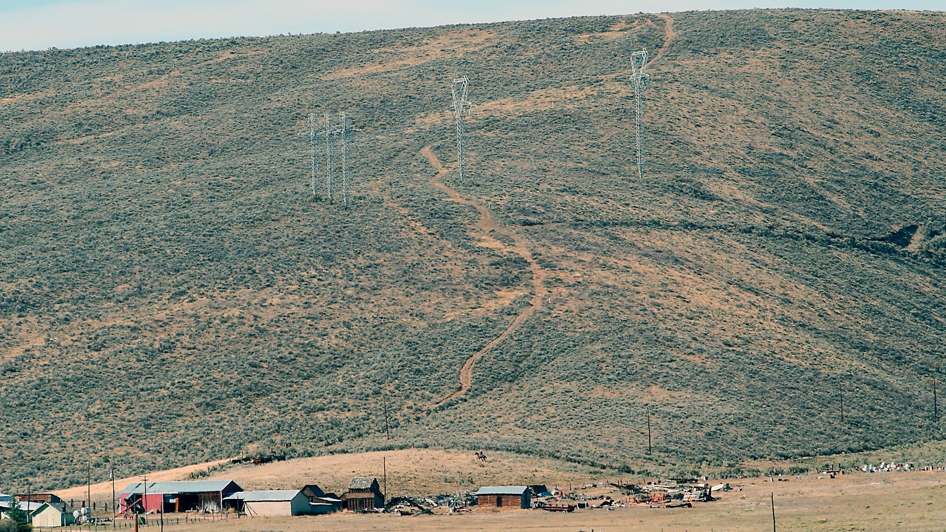
Near Montpelier, Idaho, Big Hill presented emigrants with a punishing climb followed by an even more dangerous descent. Some wagon parties used ropes to lower their vehicles down the slope. Original wagon ruts remain visible from interpretive roadside pullouts along U.S. Highway 30, providing a vivid reminder of the ordeal.
 NPS Staff (Photo Credit: NPS), Wikimedia Commons
Massacre Rocks State Park, Idaho
Near American Falls, Massacre Rocks State Park protects an important section of the Oregon and California trail corridor. Visitors can follow designated paths to surviving wagon ruts and interpretive exhibits. The dramatic Snake River landscape makes it easy to understand why this narrow passage became such a memorable landmark for westbound travelers.
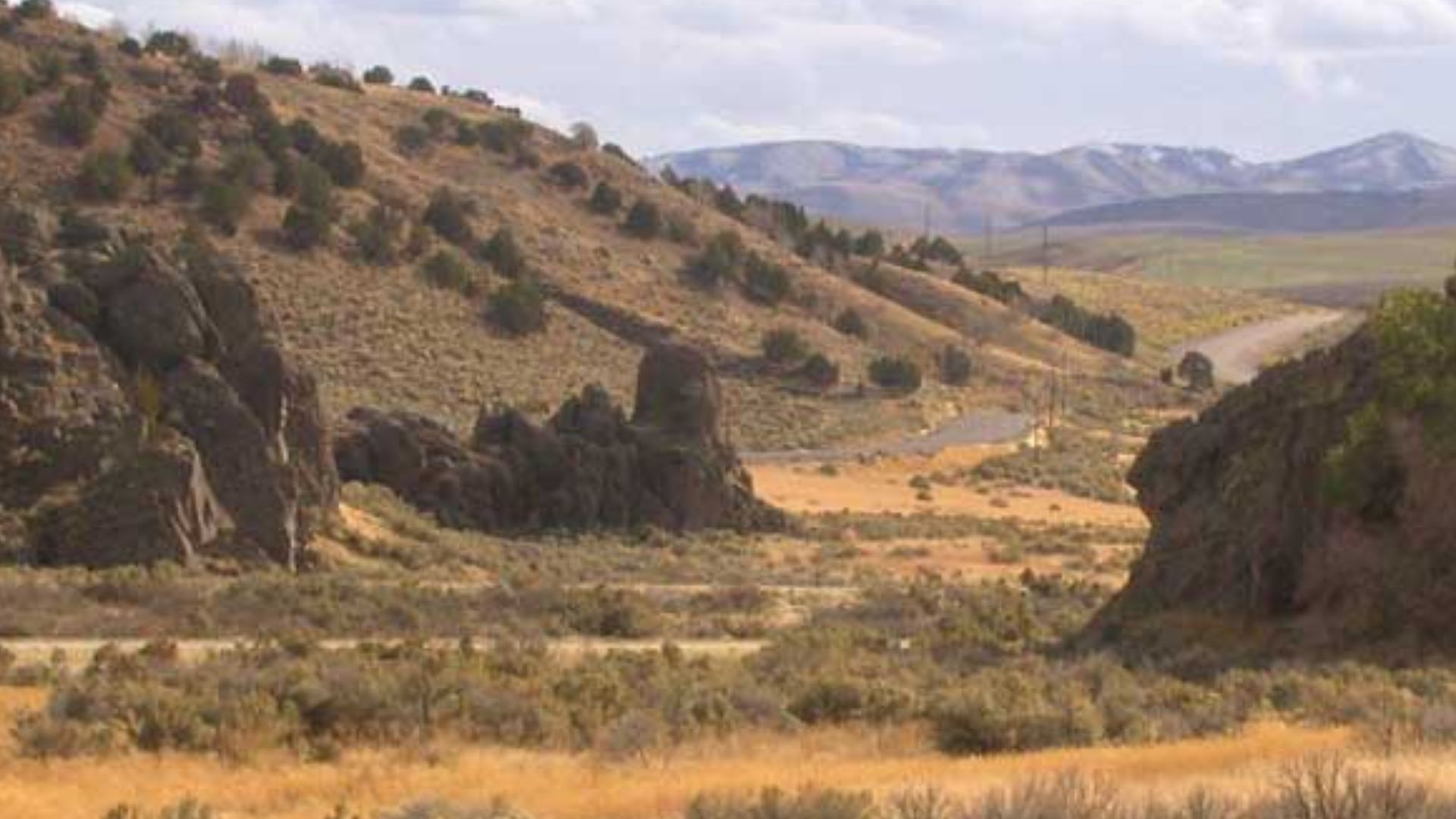 Matthew Trump, Wikimedia Commons
Milner Historic Recreation Area, Idaho
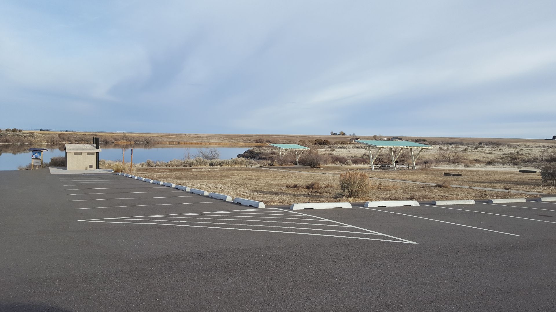
At Milner Historic Recreation Area near the Snake River, the Oregon Trail survives as shallow, grassy depressions crossing the landscape. White markers help visitors identify the original route. These subtle swales may lack the dramatic depth of the Guernsey Ruts, but they offer an authentic glimpse of how wagon traffic reshaped the prairie.
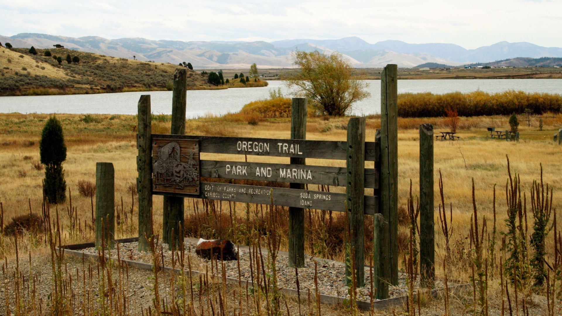
Oregon Trail Park And Marina, Idaho
Near Soda Springs, Oregon Trail Park and Marina contains a short section of original wagon swales beside Alexander Reservoir. Visitors can look for white Oregon Trail markers near the entrance road and examine the shallow depressions in the surrounding grass. The setting illustrates how historic routes can survive alongside modern recreational facilities.
 NPS Staff (Photo Credit: NPS), Wikimedia Commons
Three Island Crossing, Idaho
At Three Island Crossing near Glenns Ferry, emigrants faced one of the Oregon Trail's most consequential decisions: whether to cross the Snake River or continue along a more difficult alternate route. The surrounding Main Oregon Trail Back Country Byway preserves visible ruts at several locations, with designated access points for exploring the historic route.
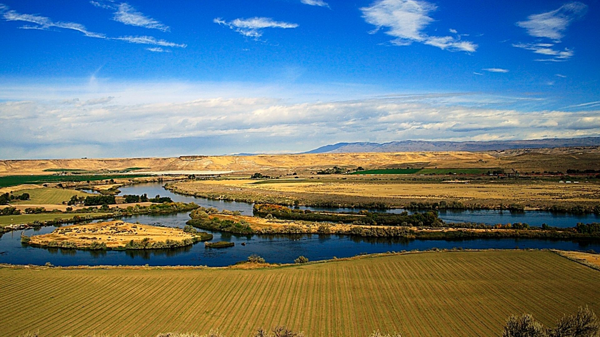 NPS Staff (Photo Credit: NPS), Wikimedia Commons
Keeney Pass, Oregon
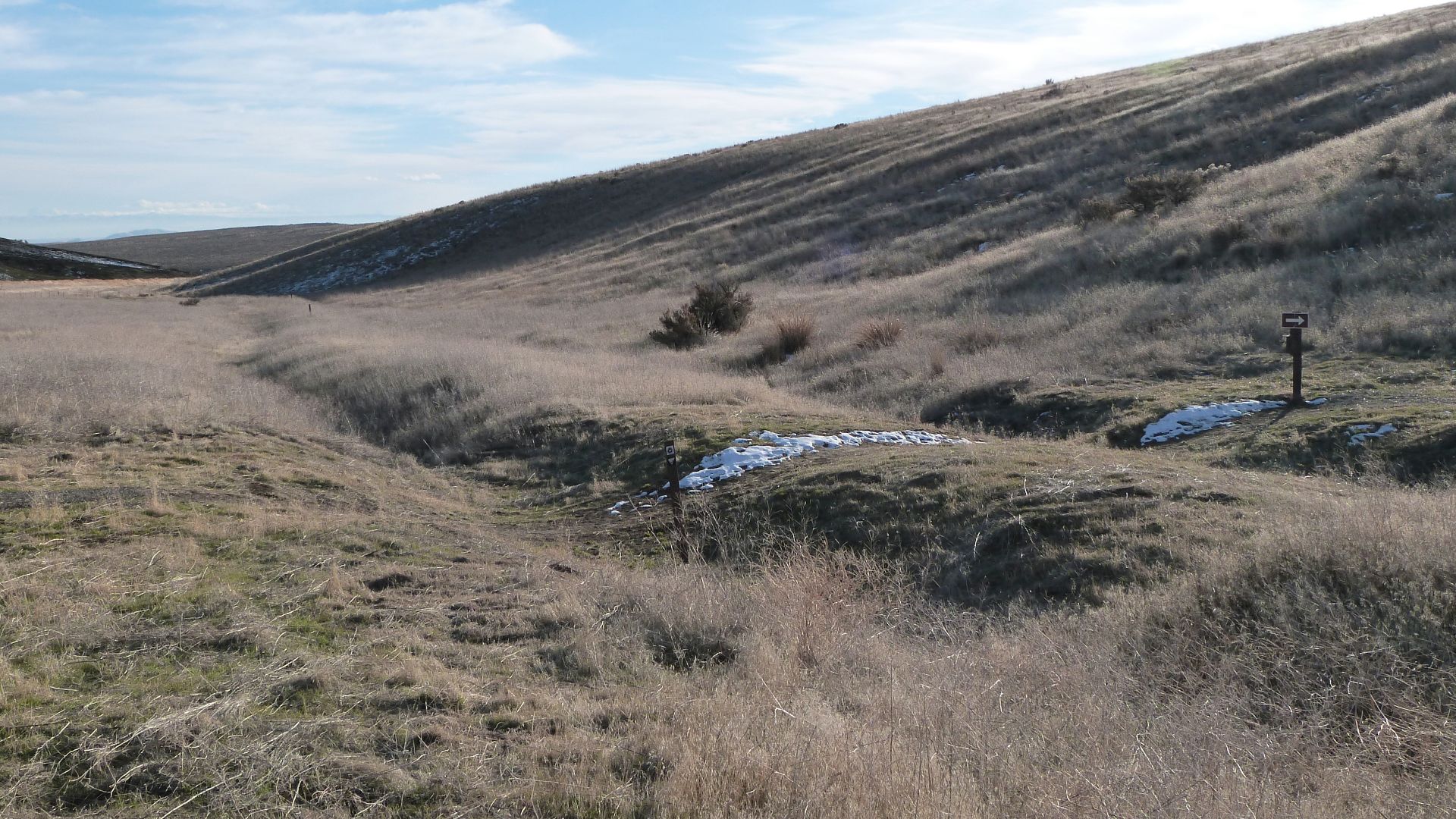
South of Vale, Keeney Pass offers one of Oregon's most accessible opportunities to walk an original section of the trail. A roughly two-thirds-mile round-trip interpretive route passes visible wagon ruts amid rolling countryside. The landscape has changed relatively little, making this an especially evocative place to imagine the emigrant experience.
 Ian Poellet, Wikimedia Commons
Virtue Flat, Oregon
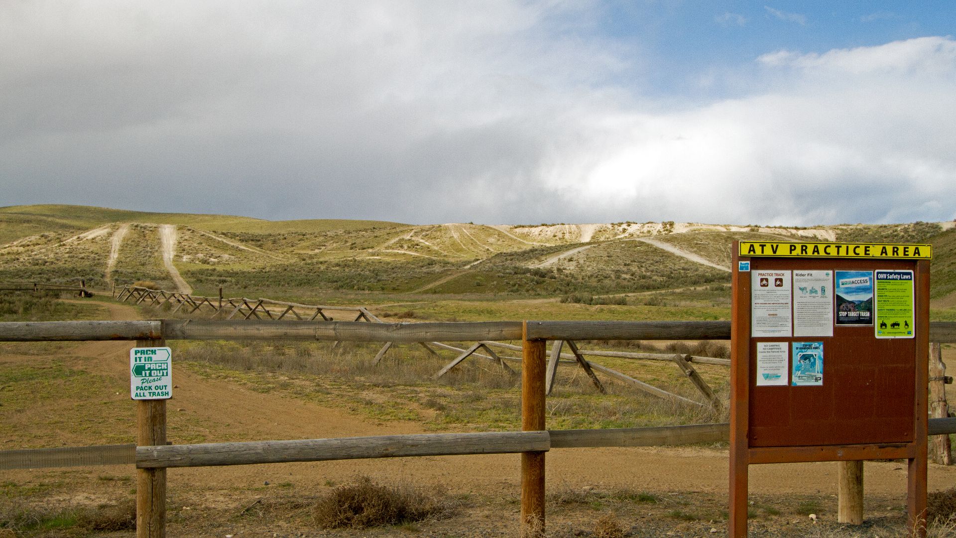
Near Baker City, the National Historic Oregon Trail Interpretive Center overlooks Virtue Flat, where approximately 13 miles of wagon ruts survive. About a mile lies within the center's grounds. Visitors can follow hiking trails to these depressions, which mark the route taken by exhausted travelers approaching the Blue Mountains.
 BLM Oregon & Washington, Wikimedia Commons
Blue Mountain Crossing, Oregon
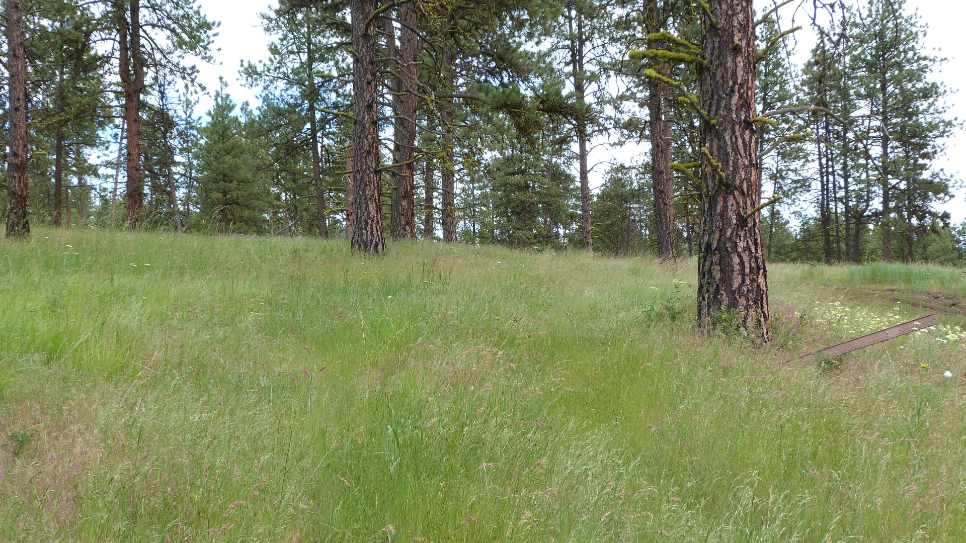
Near La Grande, the Oregon Trail Interpretive Park at Blue Mountain Crossing preserves wagon swales in a forested setting. A half-mile accessible interpretive loop lets visitors explore the historic route without undertaking a strenuous hike. The surrounding woodland offers a striking contrast to the open plains that dominated much of the emigrants' earlier journey.
 Ian Poellet, Wikimedia Commons
Echo Meadows, Oregon
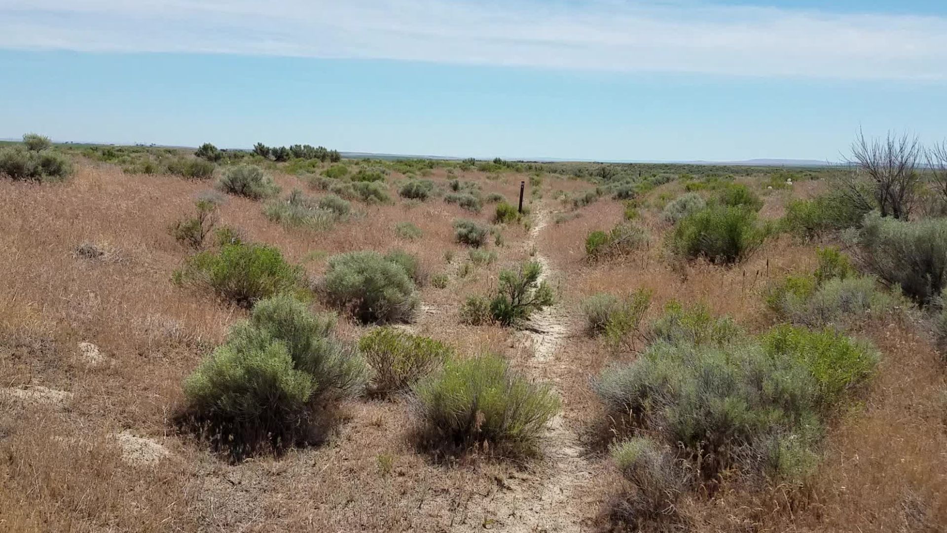
West of Echo, Oregon, a remarkable stretch of the original Oregon Trail remains visible across the meadows. Wagon trains passed through this area during the mid-19th century, leaving broad depressions that survived long after the migration ended. A paved walking path leads visitors toward approximately a mile of surviving wagon swales.
 BLM Oregon & Washington, Wikimedia Commons
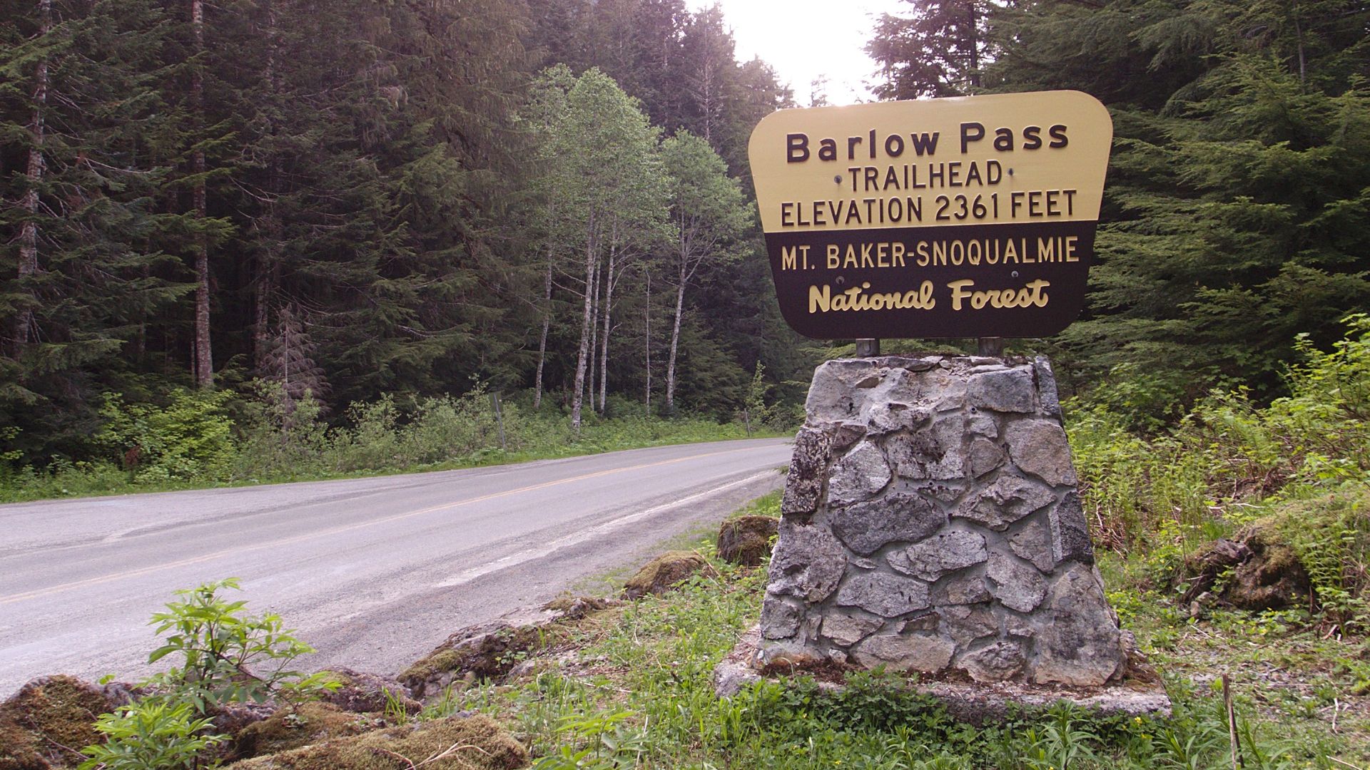
Barlow Pass, Oregon
The Barlow Road offered emigrants an overland alternative to navigating the Columbia River's dangerous final stretches. At Barlow Pass, historic trail remnants can still be explored near the Pacific Crest Trail. The wooded mountain setting provides a fascinating glimpse of the obstacles facing pioneers as they approached the Willamette Valley.
 Junkyardsparkle, Wikimedia Commons
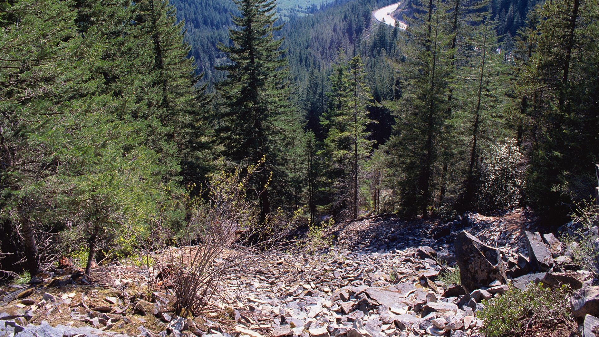
Laurel Hill, Oregon
Near Government Camp, Laurel Hill preserves evidence of one of the Oregon Trail's most terrifying descents. Emigrants locked wagon wheels, dragged logs, and used ropes to control their vehicles on extremely steep slopes. An interpretive walking route leads to viewpoints overlooking the historic wagon chutes, where repeated descents left deep scars in the mountainside.
 Unknown authorUnknown author or not provided, Wikimedia Commons
You May Also Like:
Wild West Towns That You Can Still Visit Today
Oregon's Lone Volcano: The Mysterious Formation Of Fort Rock
Four Giant Footprints Were Found In North Dakota—And Scientists Think An Adult T. Rex Made Them
Sources: 1, 2, 3, 4, 5, 6, 7, 8, 9, 10, 11, 12, 13, 14, 15, 16, 17, 18