

The Great (Remote) North
Canada can fool visitors with scale. A place that looks like a manageable detour may require a ferry, charter flight, snowmobile transfer, or a full day behind the wheel. These destinations vary in accessibility, but each has a logistical wrinkle that can make the journey feel much bigger than expected.
 Michel Rathwell from Cornwall, Canada, Wikimedia Commons
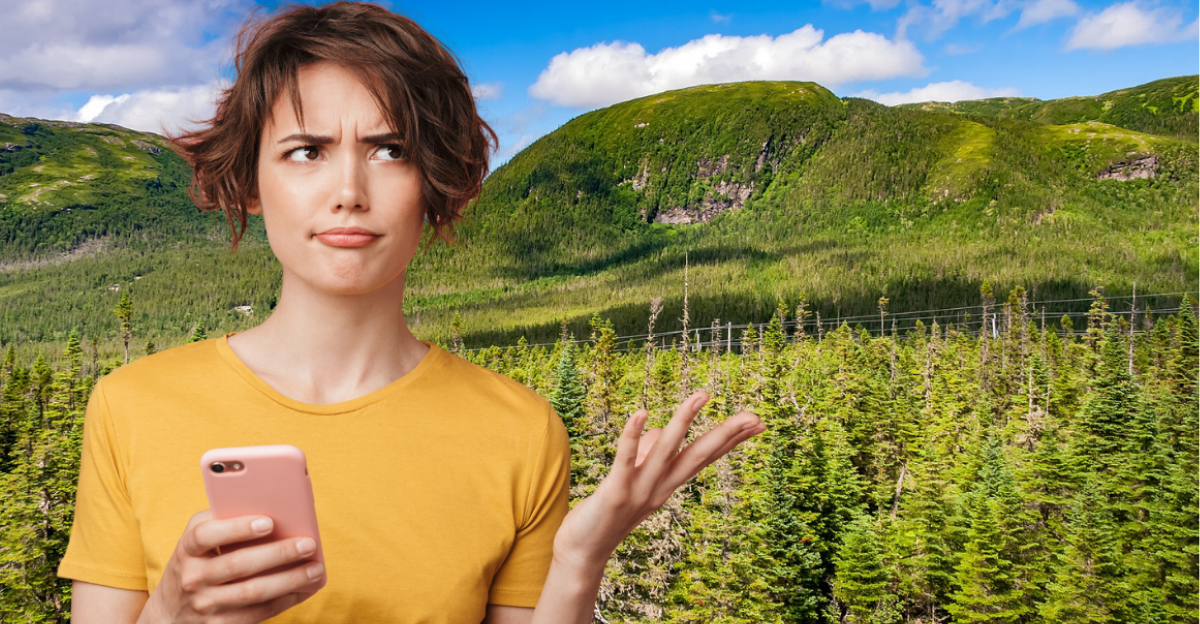
Gros Morne National Park
Gros Morne is famous, but reaching Newfoundland’s west coast can still feel like an expedition. Drivers from mainland Canada take the roughly six-hour ferry from North Sydney to Port aux Basques, then travel another 300 kilometres and about four hours to the park.
 Michel Rathwell from Cornwall, Canada, Wikimedia Commons
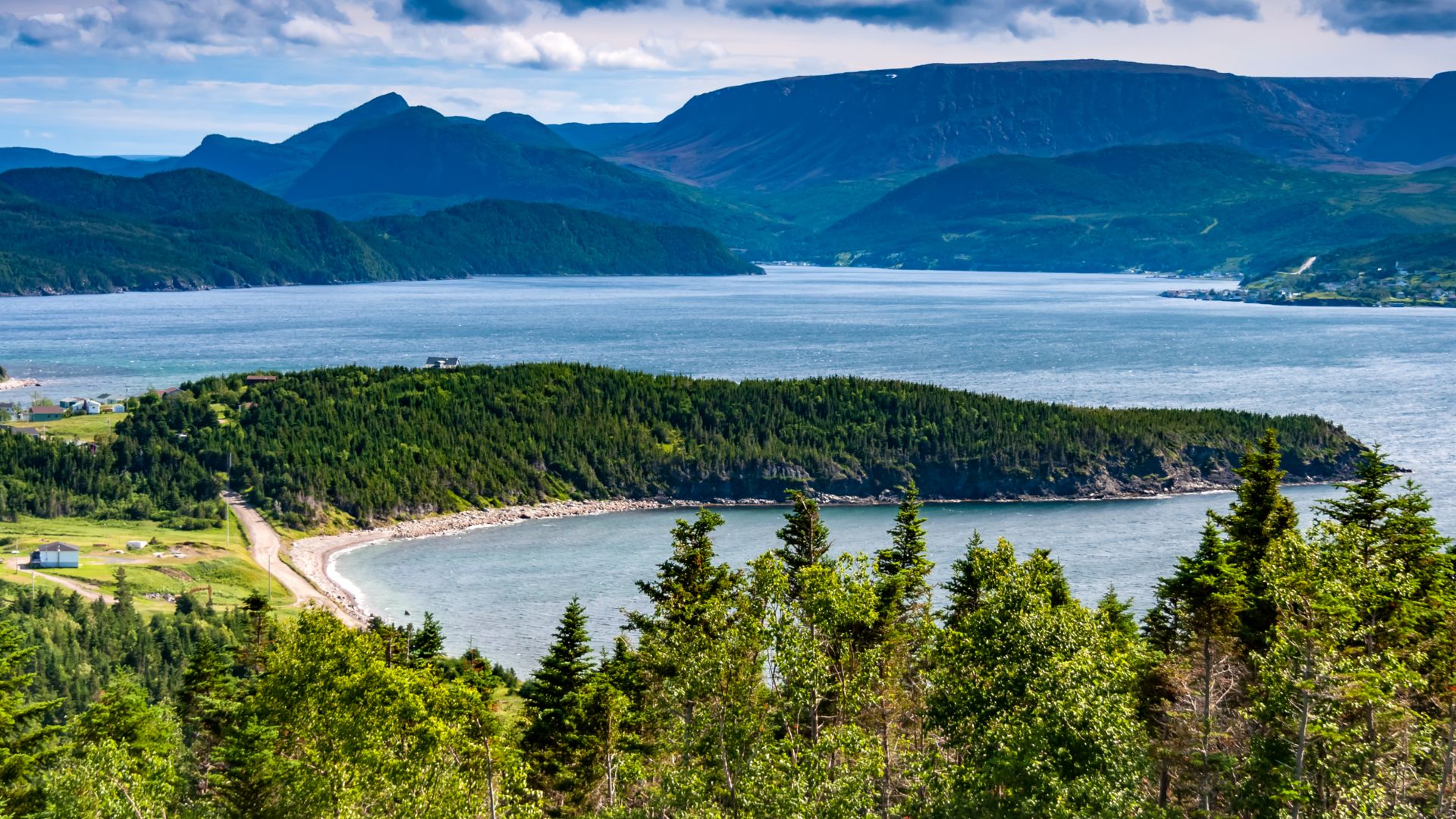
L’Anse aux Meadows
The famous Norse site sits near the tip of Newfoundland’s Great Northern Peninsula, far from the island’s main gateways. It is 433 kilometres north of Deer Lake along the Viking Trail, with Route 436 covering the final approach to L’Anse aux Meadows.
 Gordon Leggett, Wikimedia Commons
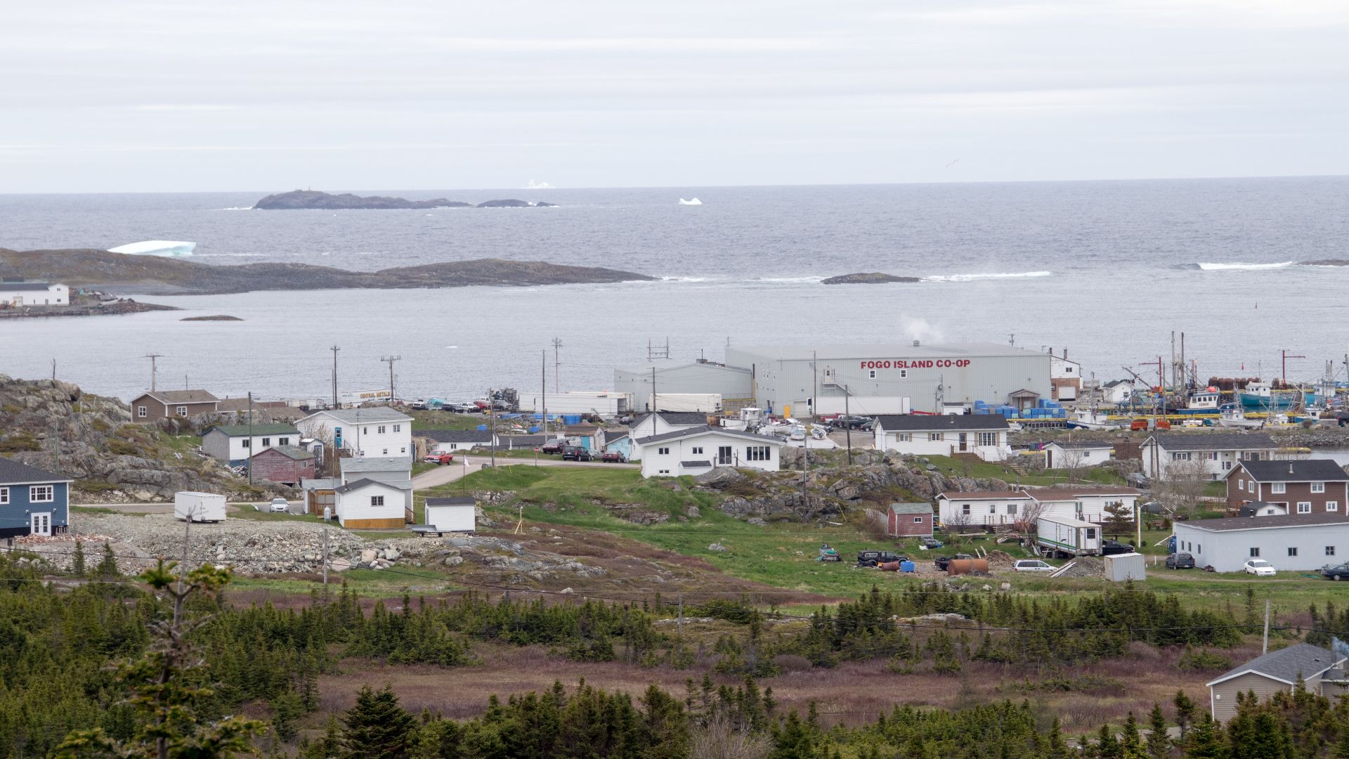
Fogo Island
Fogo Island’s art studios and celebrated lodging can disguise its separation from Newfoundland’s main road network. Visitors drive to Farewell and board a provincial ferry; the direct crossing takes about 45 minutes, while sailings that include Change Islands can take around 75 minutes.
 Paul Asman and Jill Lenoble, Wikimedia Commons
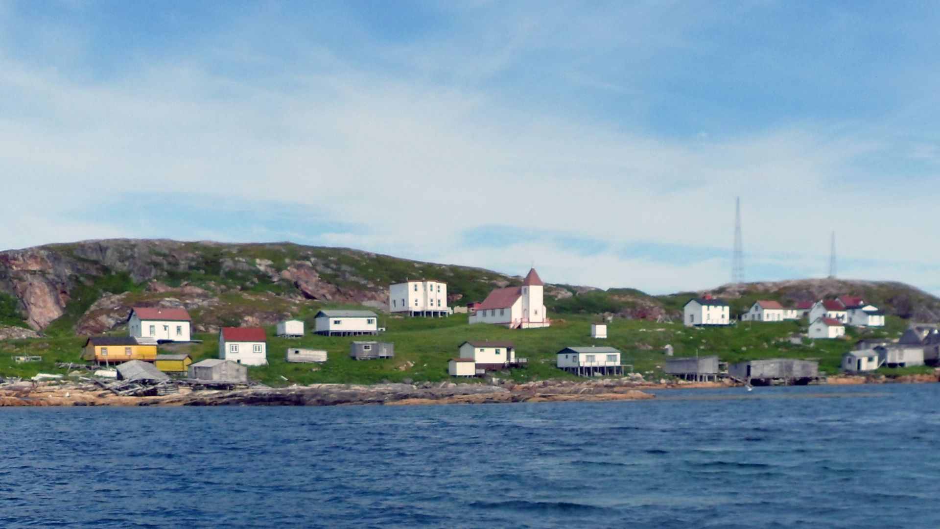
Battle Harbour
Battle Harbour makes Fogo look straightforward. The restored Labrador outport sits on Battle Island and is reached from Mary’s Harbour by a once-daily morning ferry taking roughly an hour. Reaching Mary’s Harbour itself requires a substantial journey through Labrador.
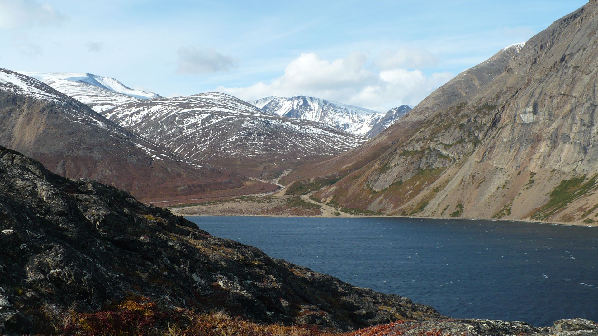
Torngat Mountains National Park
This northern Labrador park has no road access and limited transportation. A typical base-camp trip involves reaching Goose Bay, flying by charter to Saglek, then transferring by boat or helicopter. Independent visitors must also register and complete an orientation before entering.
 Paul Gierszewski, Wikimedia Commons
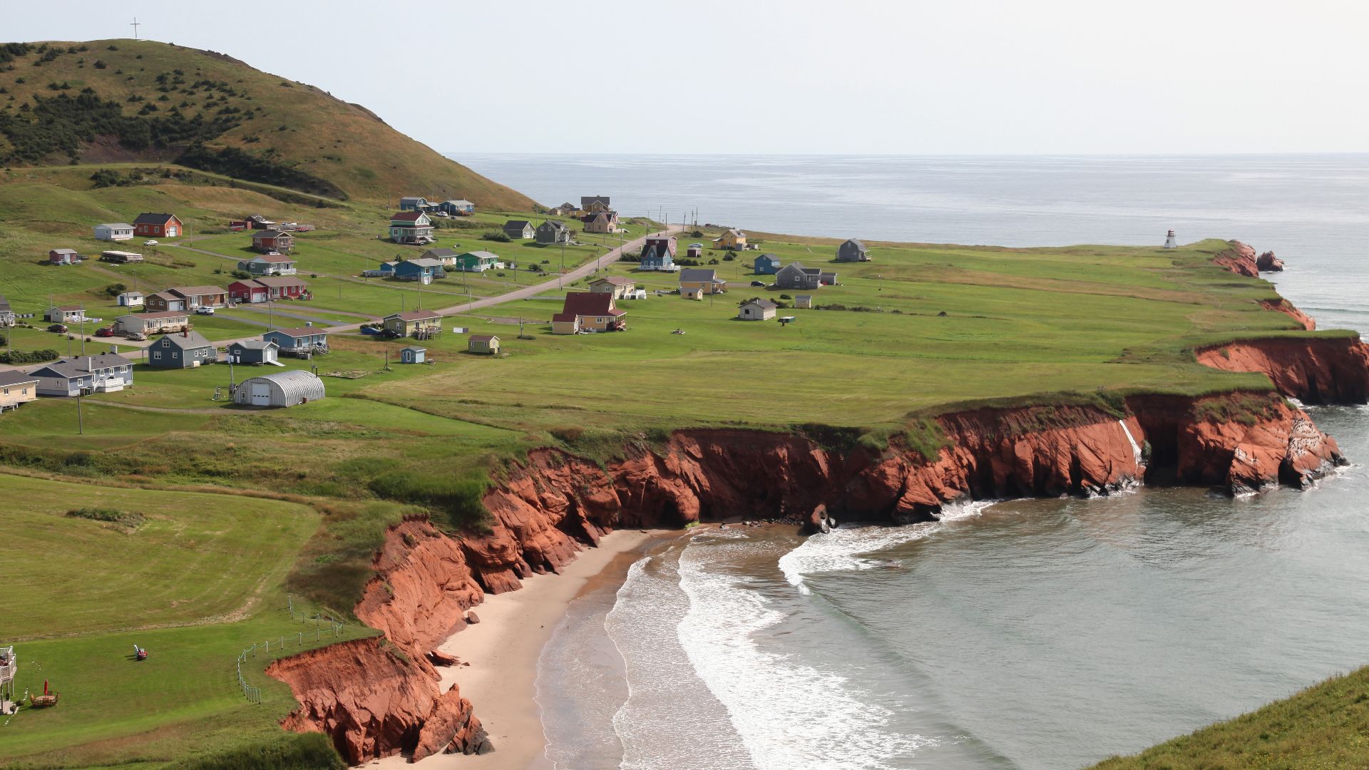
Îles De La Madeleine
The Magdalen Islands belong to Quebec, but their main ferry connection starts in Prince Edward Island. The regular route runs between Souris and Cap-aux-Meules, and the crossing takes about five hours, making the arrival a genuine sea journey.
 Marc-Lautenbacher, Wikimedia Commons
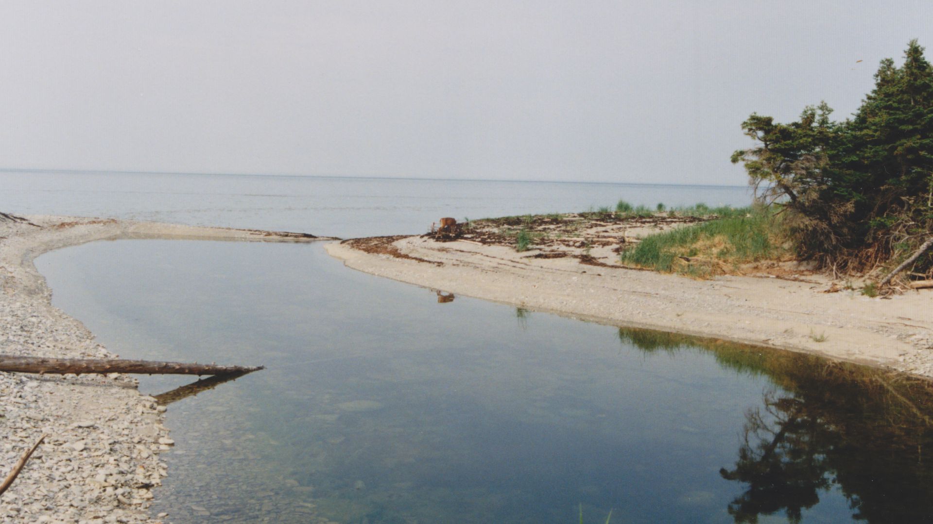
Anticosti Island
Anticosti sits in the Gulf of St. Lawrence with no bridge connecting it to mainland Quebec. Travelers instead reach the island by plane or boat, immediately making an Anticosti vacation more complicated than the typical road trip through the province.
 Nichole Ouellette/ouellette001.com, Wikimedia Commons
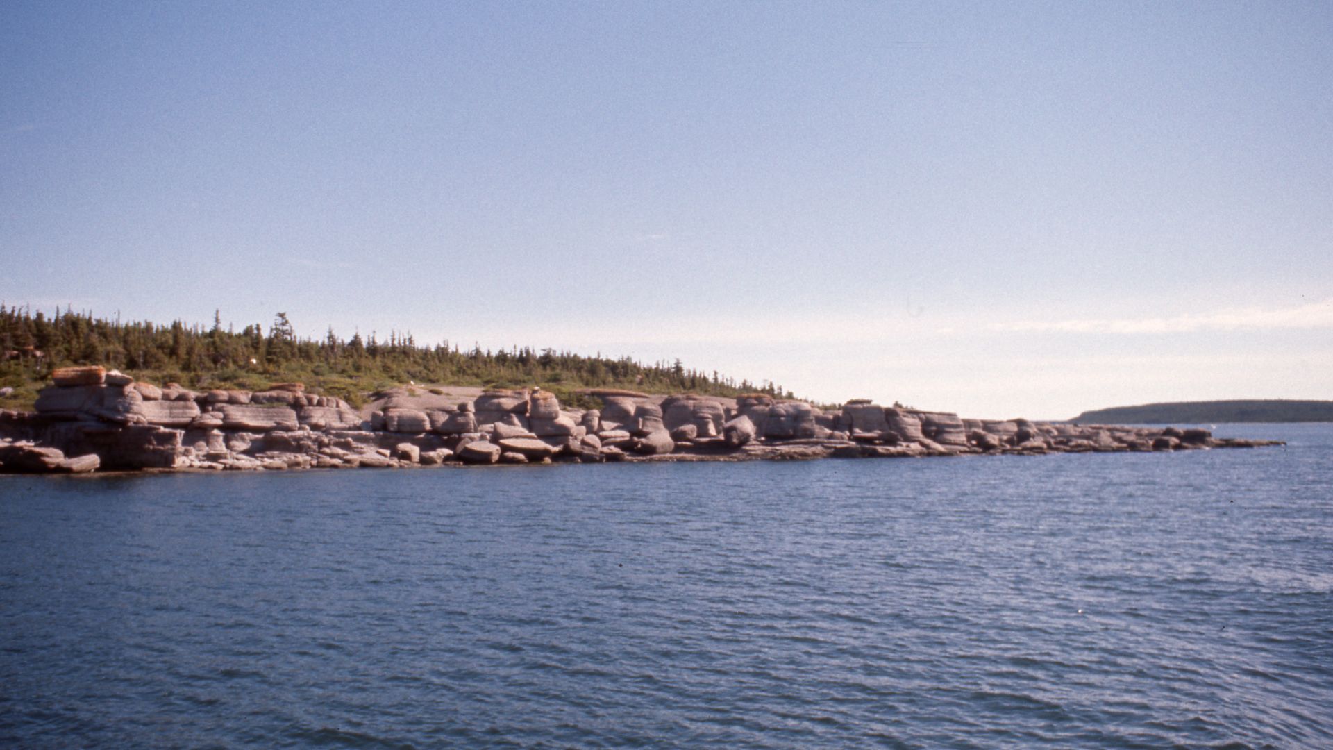
Mingan Archipelago
The Mingan Archipelago looks close to shore, but every island visit requires a boat. First, travelers must reach Quebec’s North Shore: the trip from Quebec City to Havre-Saint-Pierre is roughly 850 kilometres and requires about 10 hours of driving.
 Nichole Ouellette, Wikimedia Commons
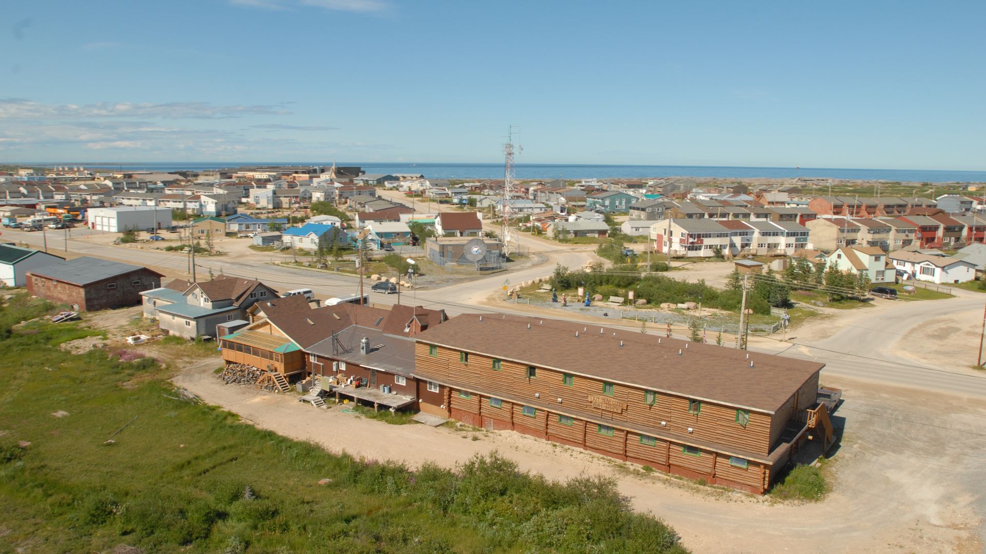
Churchill
Churchill is one of Canada’s best-known northern destinations, yet no road connects it to the rest of Manitoba. Visitors arrive by plane or train, and the rail journey from Winnipeg takes about 44 hours, making transportation a major part of the experience.
 Travel Manitoba, Wikimedia Commons
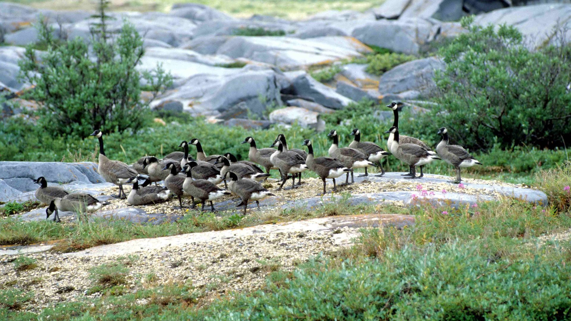
Wapusk National Park
Churchill is only the gateway to Wapusk. There are no roads into the park itself, and access is mainly arranged through licensed commercial operators. Visitors typically continue into the protected wilderness by aircraft rather than simply driving beyond town.
 Ansgar Walk, Wikimedia Commons
Polar Bear Provincial Park
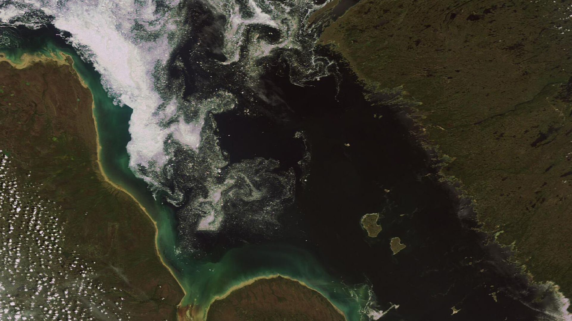
Ontario’s largest and most northerly provincial park has no drive-in option. It is accessible only by air and has no visitor facilities. Aircraft landing permits are required, and travelers are advised to carry extra supplies in case bad weather delays departure.
 European Space Agency, Wikimedia Commons
Pukaskwa National Park
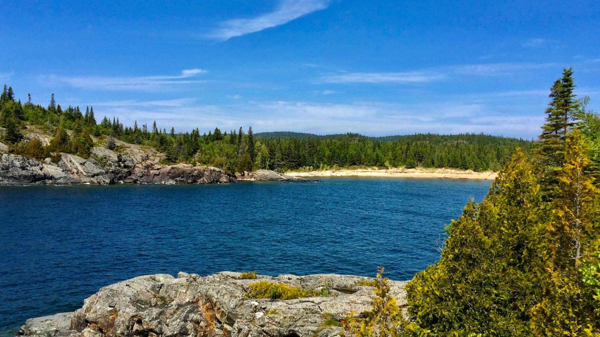
Pukaskwa has a road-accessible frontcountry, but its Lake Superior coast gets remote quickly. The Coastal Hiking Trail runs more than 60 kilometres over rugged terrain, while the coastal paddling route extends 135 kilometres through the park’s most remote region.
 Andre Carrotflower, Wikimedia Commons
Gwaii Haanas
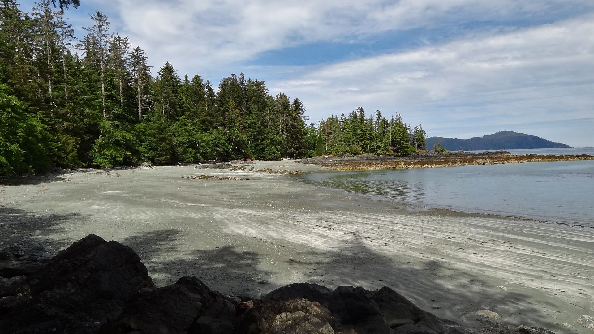
Southern Haida Gwaii is where roads stop being useful. There are no roads into Gwaii Haanas; access is limited to boats and seaplanes. Self-guided visitors need reservations and orientation, and there is no cell service inside the protected area.
 Brett Hodnett, Wikimedia Commons
Cape Scott Provincial Park
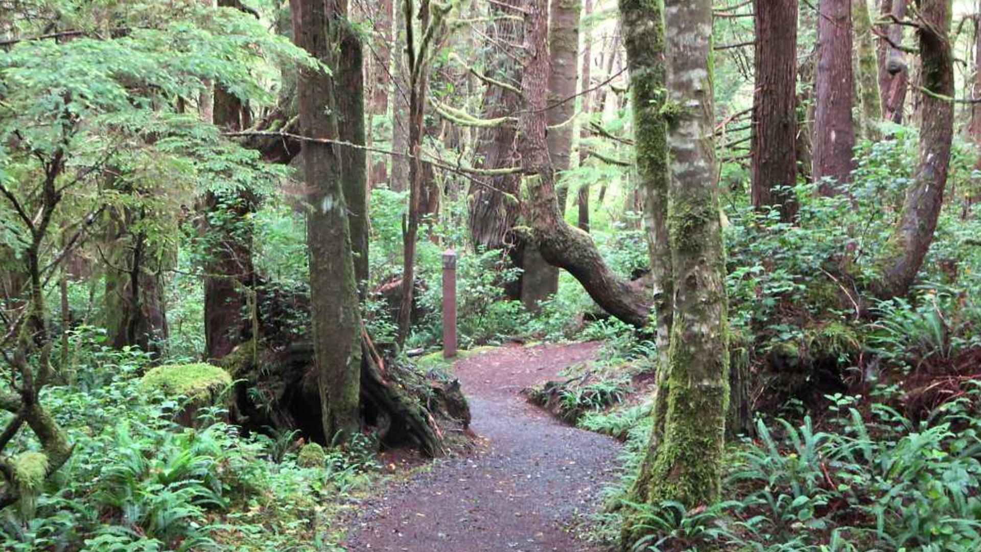
Cape Scott sits at Vancouver Island’s far northwest, and reaching the trailhead is not a normal island drive. The route from Port Hardy includes active gravel logging roads where visitors are told to use headlights, watch pullouts, and yield to logging trucks.
 David Stanley, Wikimedia Commons
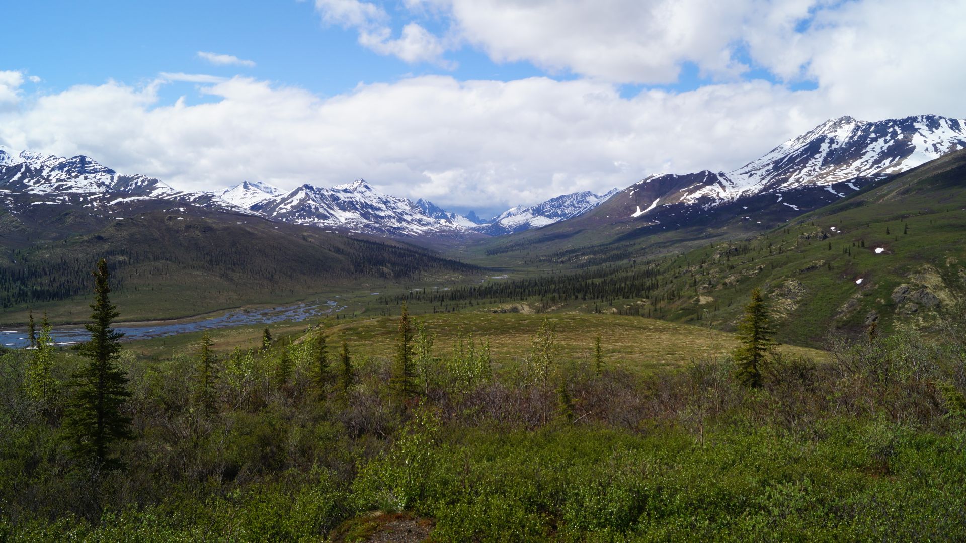
Tombstone Territorial Park
Tombstone’s peaks begin surprisingly far from Yukon’s main population centers. The interpretive centre is about 90 minutes from Dawson City and seven hours from Whitehorse. Farther north, there are 369 kilometres between fuel at the Dempster junction and Eagle Plains.
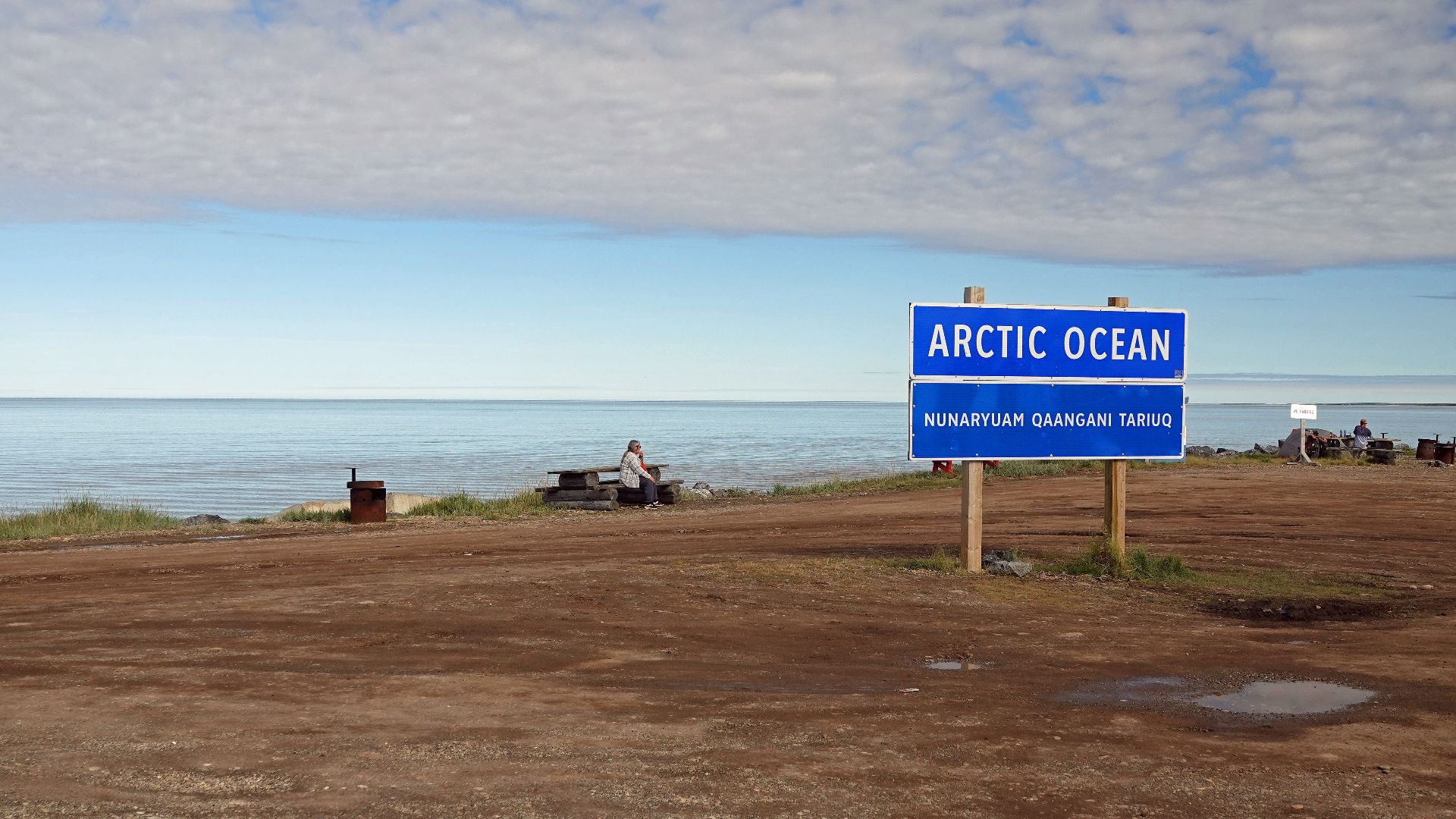
Tuktoyaktuk
Tuktoyaktuk is reachable by road, but it is hardly close. The Dempster route runs hundreds of kilometres through Yukon and the Northwest Territories before the highway system continues from Inuvik to the Arctic Ocean, creating an unusually ambitious Canadian road trip.
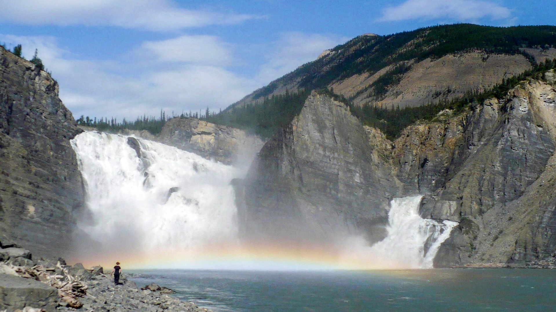
Nahanni National Park Reserve
Nahanni has no public roads. Most visitors arrive by chartered floatplane, often from Fort Simpson or other northern communities. River expeditions can last from about a week to more than three weeks, depending on the chosen starting point.
 Paul Gierszewski, Wikimedia Commons
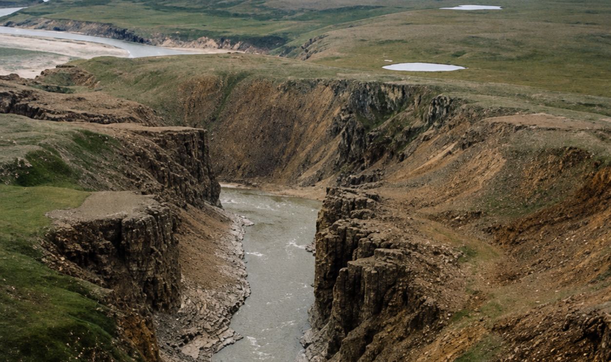
Tuktut Nogait National Park
Tuktut Nogait has no roads or trails leading directly from Paulatuk into the park. Most access is by charter aircraft, though boats and overland routes are possible. Following the Hornaday River overland requires roughly 40 kilometres just to reach the park boundary.
 Paul Gierszewski, Wikimedia Commons, Enhanced
Auyuittuq National Park
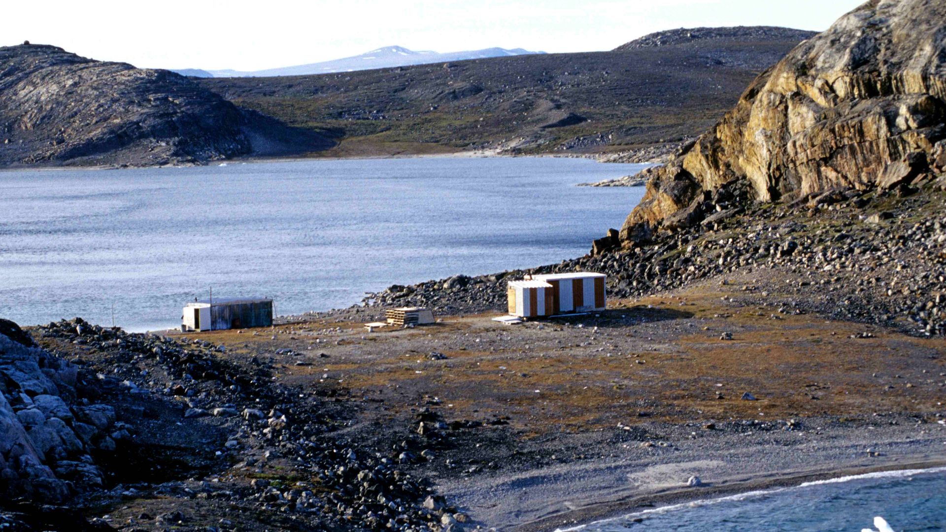
Getting to Baffin Island is only the first step. Visitors generally fly through Iqaluit to Pangnirtung or Qikiqtarjuaq, then use a local operator for a boat or snowmobile transfer. Travelers are advised to allow for weather delays lasting three to five days.
 Ansgar Walk, Wikimedia Commons
Sirmilik National Park
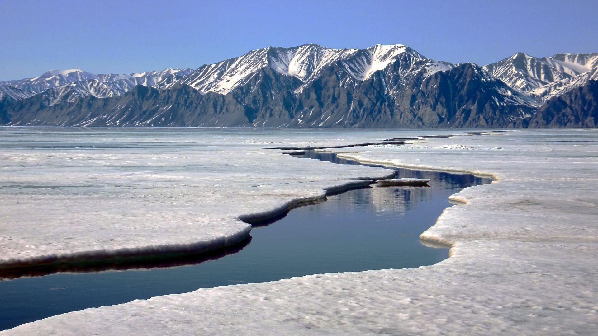
Sirmilik sits beside Pond Inlet and Arctic Bay, but neither provides road access into the park. After flying north through Iqaluit, travelers arrange a licensed outfitter to continue by boat or snowmobile. The park has no campgrounds, services, or visitor facilities.
 Paul Gierszewski, Wikimedia Commons
Ukkusiksalik National Park
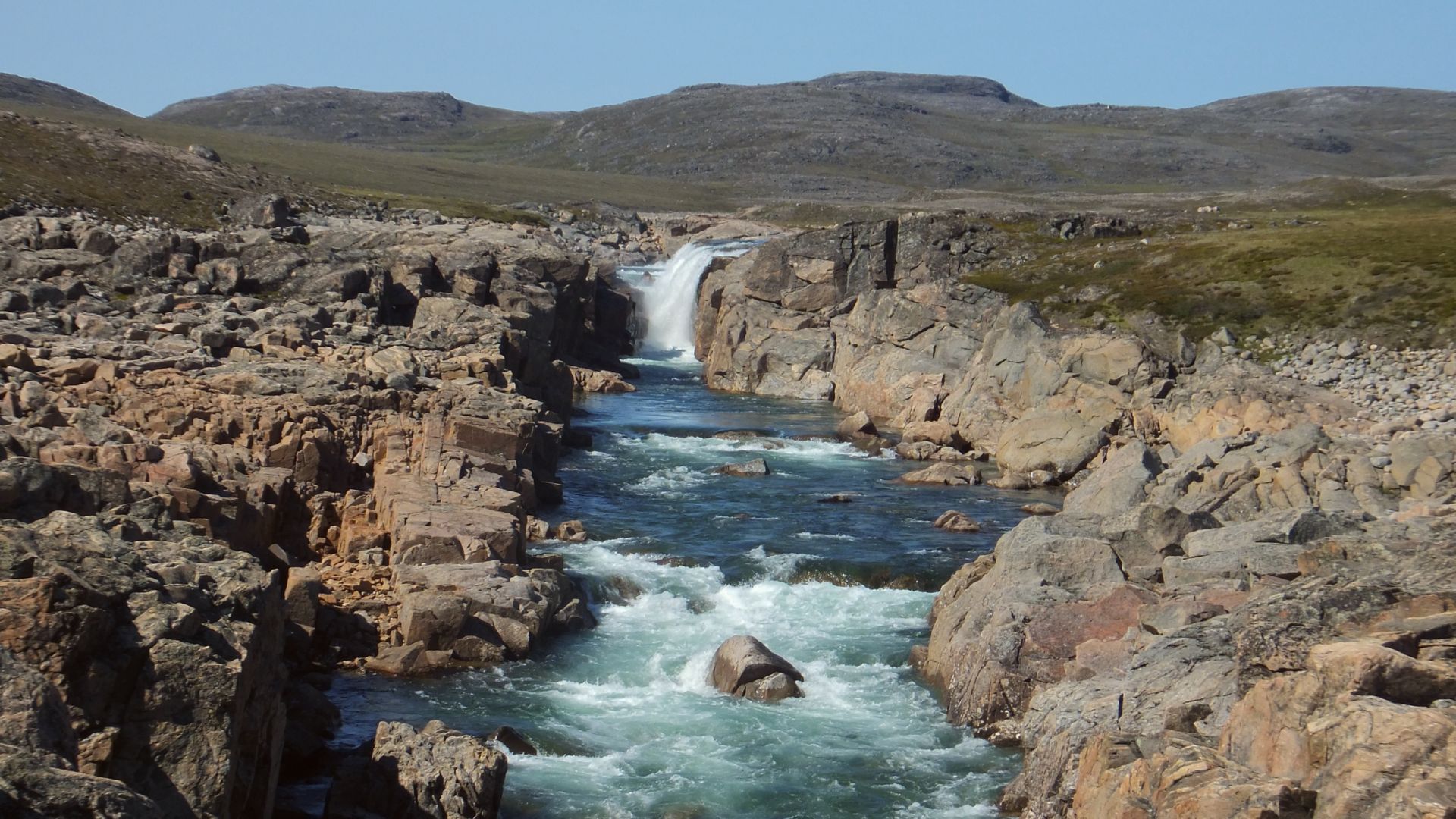
Ukkusiksalik can be approached from several Nunavut communities, but the last leg is challenging. From Naujaat, licensed outfitters may take visitors on a boat journey lasting about seven hours. Charter aircraft and seasonal snowmobile travel provide other options.
 Paul Gierszewski (Gierszep), Wikimedia Commons
Qausuittuq National Park
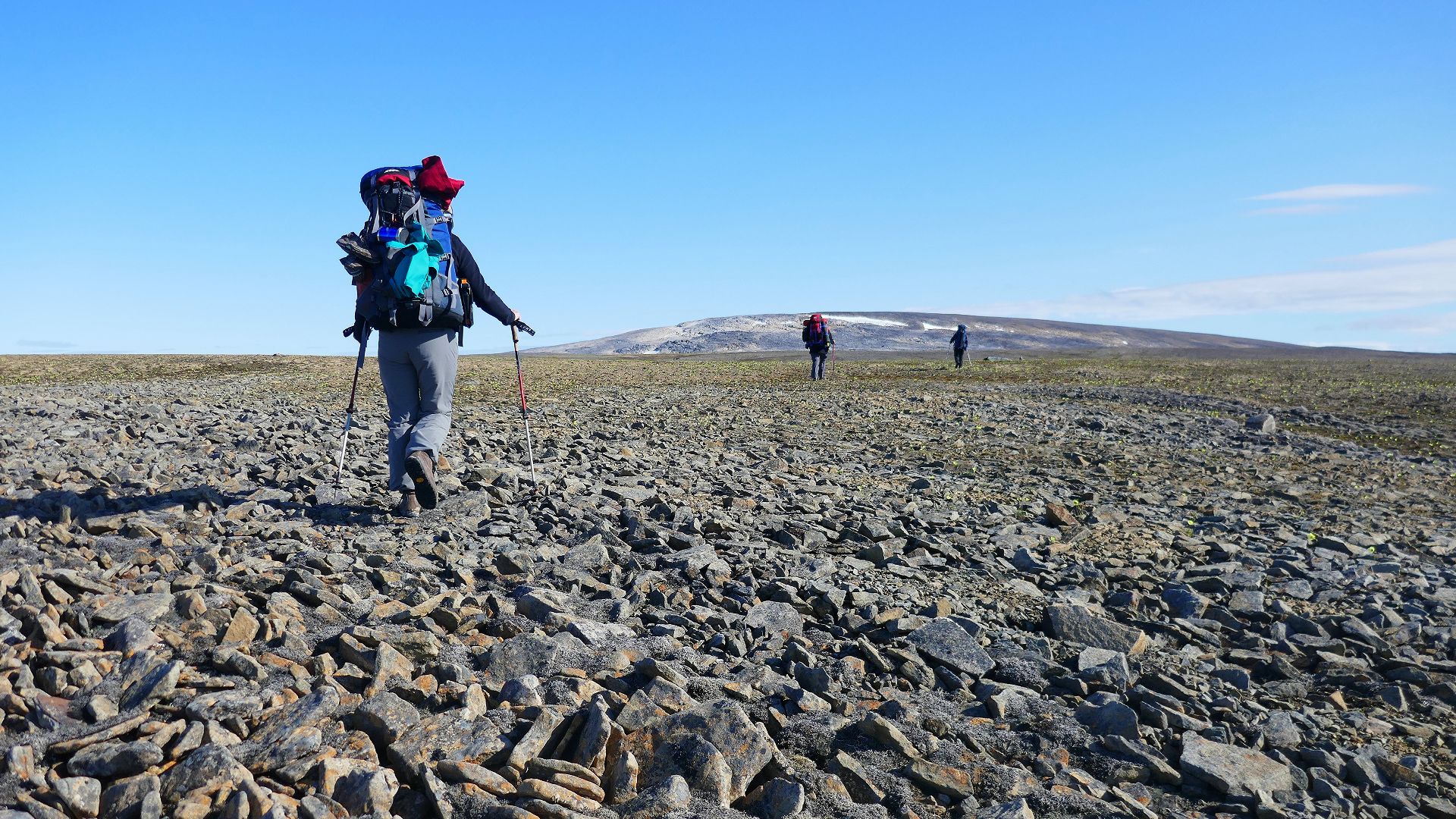
Bathurst Island’s Qausuittuq is accessible only by chartered aircraft from Resolute Bay. A return charter can cost roughly C$10,000, and weather disruptions may delay travel for days. Limited facilities and services make self-reliance an essential part of visiting.
 Paul Gierszewski, Wikimedia Commons
Quttinirpaaq National Park
Quttinirpaaq pushes remoteness further. The park lies about 800 kilometres north of Resolute Bay on Ellesmere Island and is generally reached by Twin Otter charter. A return flight to Tanquary Fiord can cost about C$70,000, depending on fuel prices.
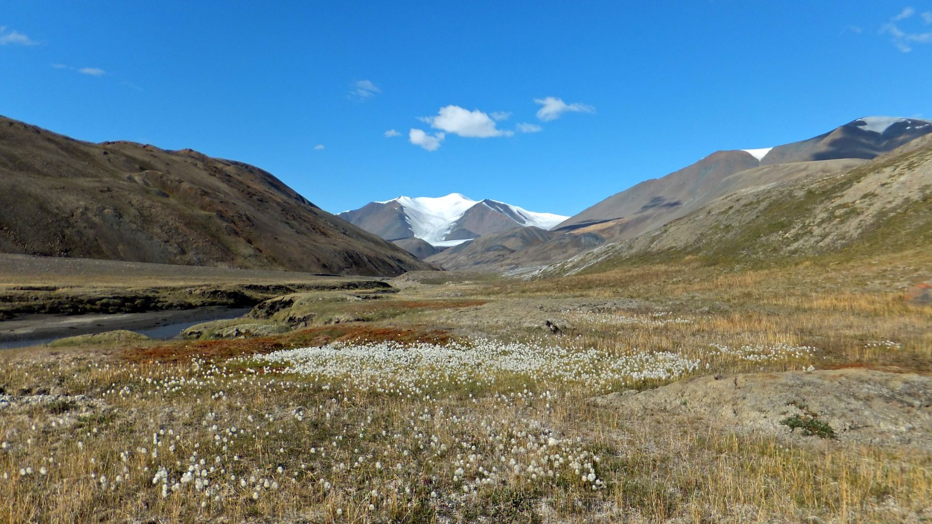 Paul Gierszewski, Wikimedia Commons
Grise Fiord
Grise Fiord is Canada’s most northerly community, with a population of roughly 150. It lies about 360 kilometres northeast of Resolute Bay on southern Ellesmere Island and is reached by air, making its isolation remarkable even by Arctic standards.
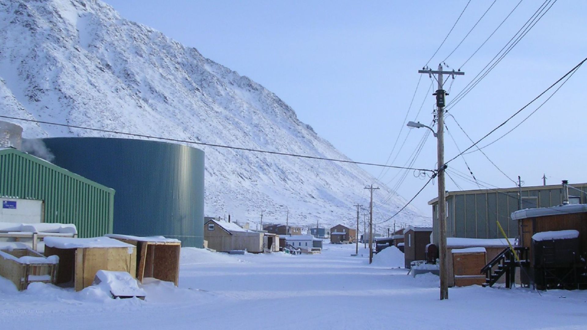 Northern Pix - https://www.flickr.com/people/northernpix/, Wikimedia Commons
You May Also Like:
Sorry California—These States All Have A Better Quality Of Life Than The Golden State
Europeans Reveal The American Things They Used To Make Fun Of—Until They Tried Them
The Strangest Local Ordinances Still Enforced In American Tourist Towns
.jpg)
