
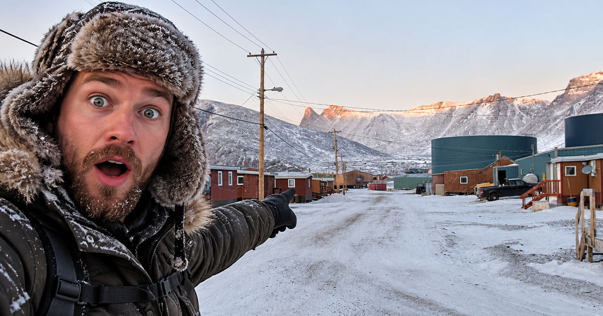
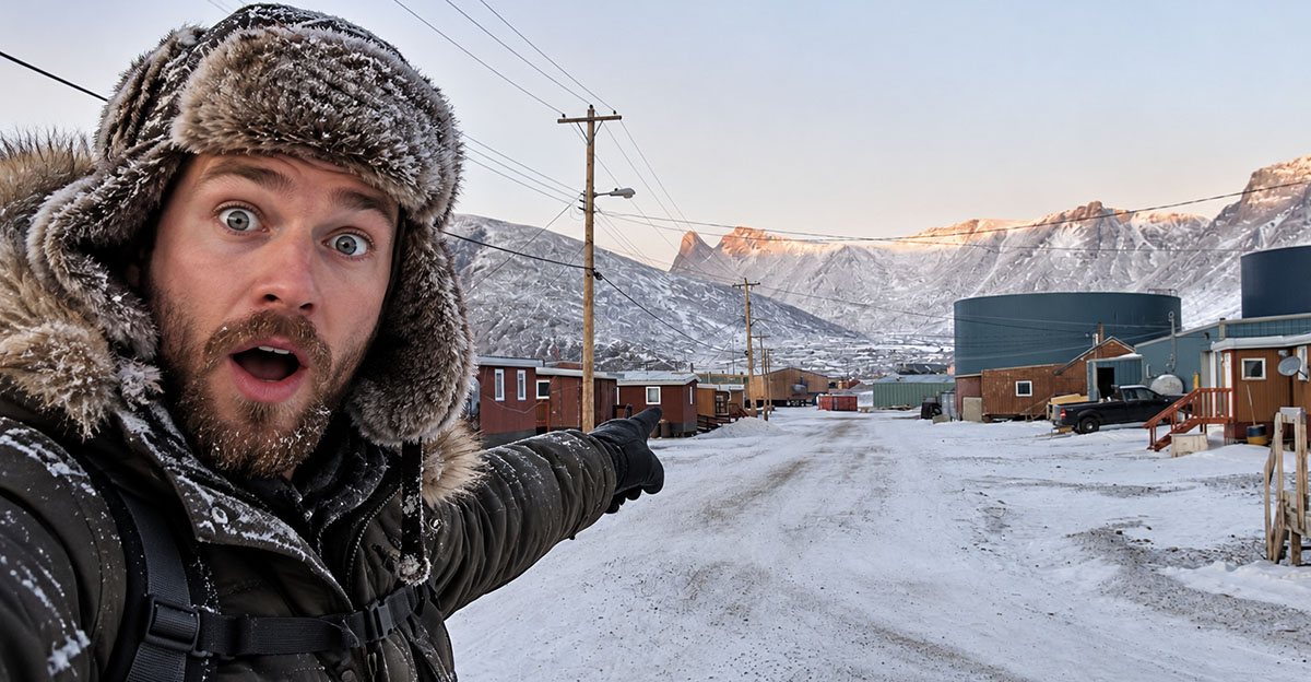
How Long Could You Handle Living This Far Away?
Forget being 20 minutes from the nearest Walmart. In some Canadian communities, leaving town means boarding a plane, catching a ship, waiting for a winter road to freeze—or tackling a highway that looks more like an adventure course.
These places prove just how enormous Canada really is. How long do you think you could last somewhere this remote?
 Timkal, CC BY-SA 3.0, Wikimedia Commons, modified
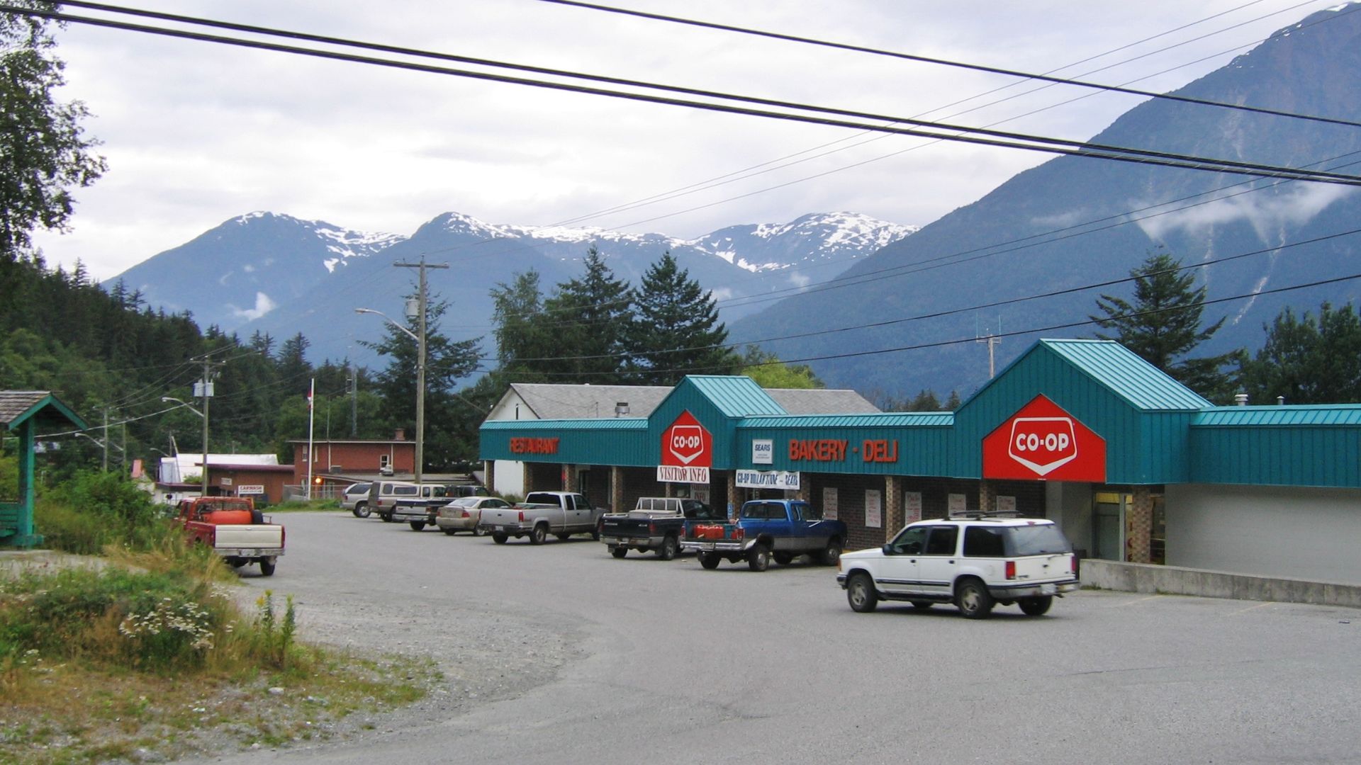
#20. Bella Coola, British Columbia
Location: Central Coast, British Columbia
Bella Coola technically has a road, but nobody would mistake the journey for an ordinary Sunday drive.
Highway 20 travels roughly 450 kilometres from Williams Lake through increasingly remote country before plunging toward the Bella Coola Valley through steep grades and switchbacks. The province says one 15-kilometre section gains about 1,600 metres between the valley floor and Heckman Pass.
It's road-accessible—but it certainly doesn't feel close to civilization.
 qwesy qwesy, Wikimedia Commons
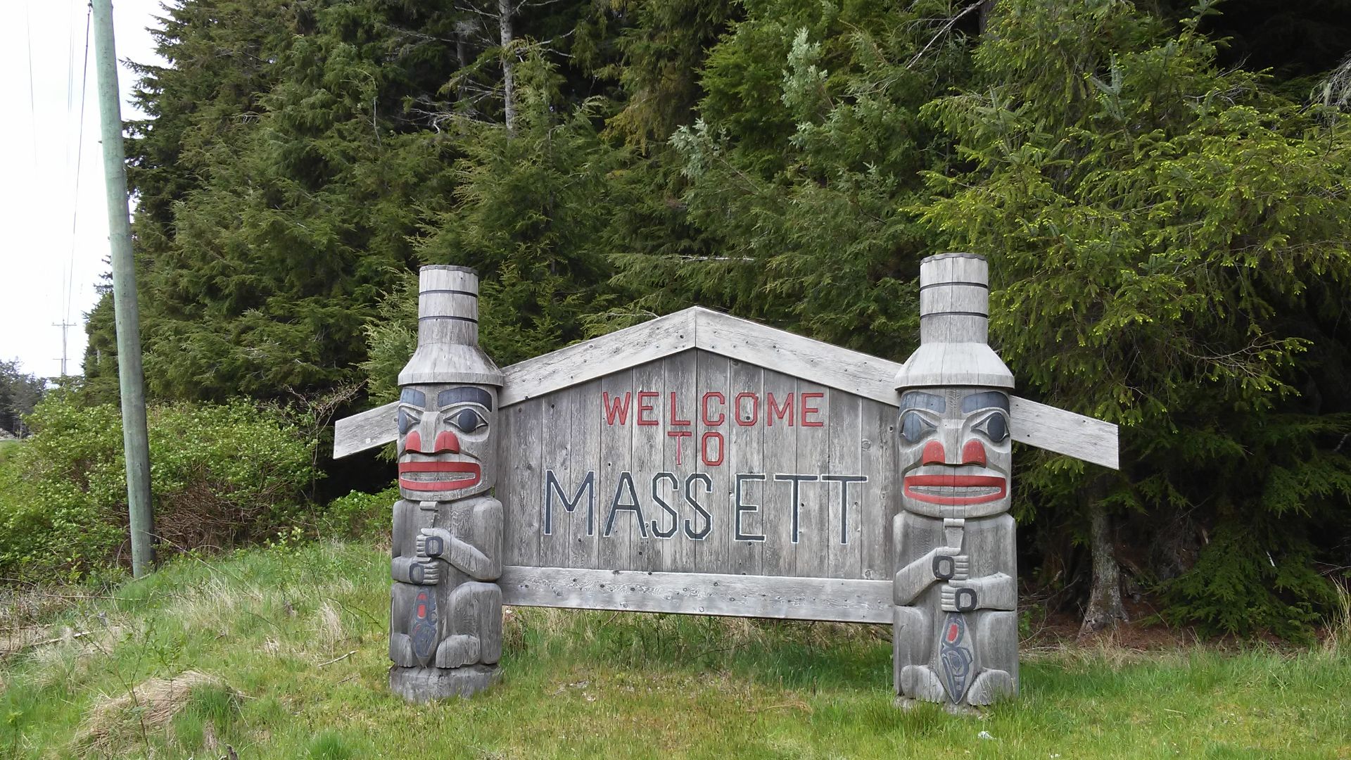
#19. Masset, British Columbia
Location: Haida Gwaii, British Columbia
Masset has roads. The problem is that those roads are on an archipelago roughly 100 kilometres off British Columbia's mainland.
Haida Gwaii is accessible from the mainland only by air or sea. Once there, you can drive between several communities on Graham Island, including Masset, but you're not continuing to Vancouver without putting yourself—and potentially your vehicle—on another form of transportation.
It's the ultimate road system with nowhere else to go.
 William Matheson, Wikimedia Commons
#18. Bella Bella, British Columbia
Location: Campbell Island, Central Coast, British Columbia
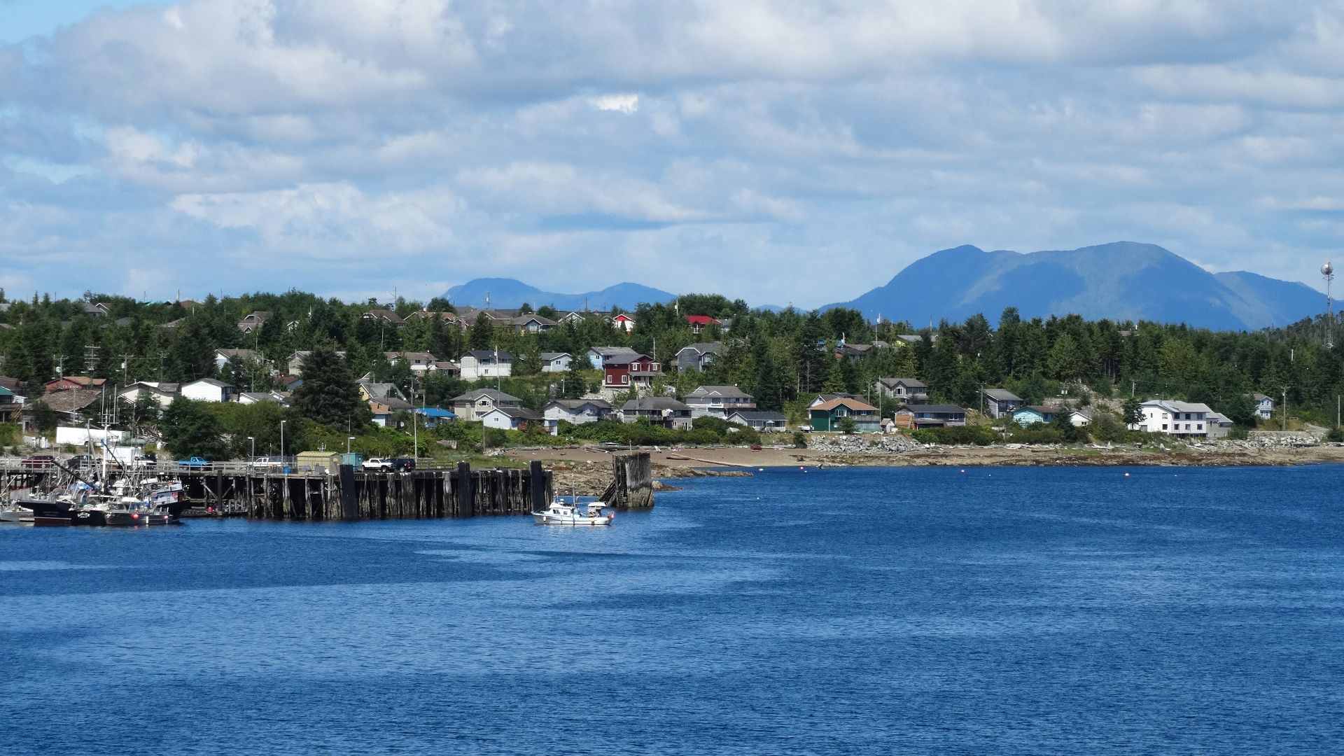
Bella Bella sits deep within British Columbia's spectacular Great Bear Rainforest, where roads quickly become a luxury.
Most of this enormous coastal region is roadless wilderness, and Bella Bella serves as one of its main transportation hubs. BC Ferries includes Bella Bella on its Central Coast network, while air and marine transportation provide essential connections.
The scenery is extraordinary. Your ability to simply jump in a car and drive to Vancouver is nonexistent.
 Adam Jones, Ph.D., Wikimedia Commons
#17. Cat Lake First Nation, Ontario
Location: Northwestern Ontario
For most of the year, Cat Lake's airport is its connection to the outside world.
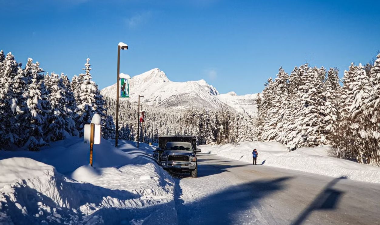
Ontario describes Cat Lake as a remote community with airport and seasonal road access only. A winter road links it toward Pickle Lake, but that connection depends on conditions cooperating.
Imagine having a highway that effectively appears when winter gets cold enough and disappears again when the season changes.
Suddenly complaining about potholes feels a little less dramatic.
#16. Marten Falls First Nation, Ontario
Location: Far Northern Ontario
Marten Falls is the sort of place that reveals how misleading a road map of Ontario can be.
The provincial government says the community is accessible year-round only by airplane, with a winter road available for just a few weeks each year. Ontario is pursuing an approximately 184-kilometre all-season access road that would eventually connect it with the provincial highway network.
Until then, winter itself decides when the temporary road opens.
#15. Fort Severn First Nation, Ontario
Location: Hudson Bay, Ontario
Fort Severn sits near Hudson Bay in Ontario's extreme north, hundreds of kilometres beyond the highway network most Ontarians know.
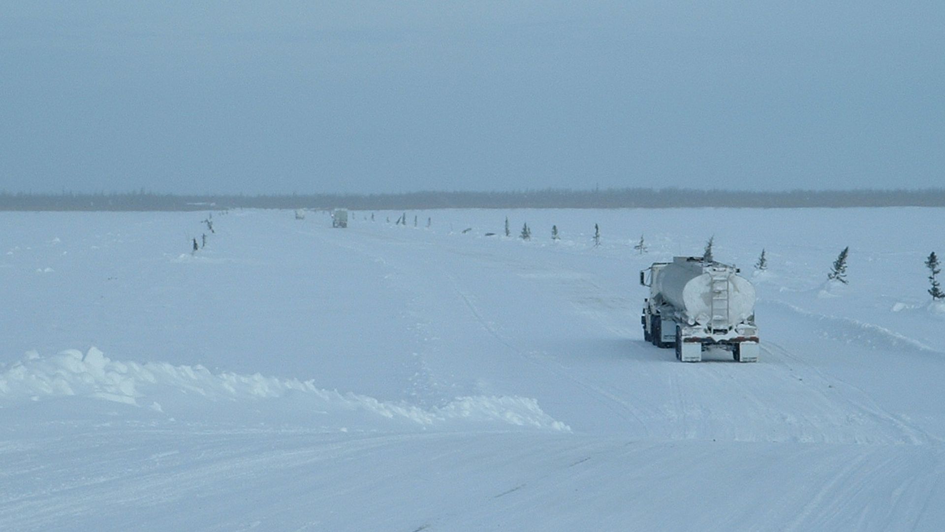
Ontario's Winter Roads Program includes a seasonal route running from Fort Severn toward the Manitoba border near Shamattawa.
That's the key word: winter.
For much of the year, this isn't somewhere you reach by simply pointing your car north. Air transportation remains enormously important when the frozen seasonal network isn't available.
#14. Shamattawa First Nation, Manitoba
Location: Northern Manitoba
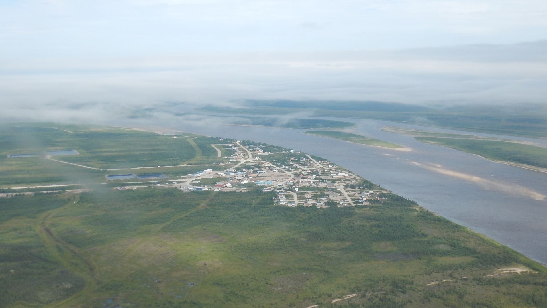
Shamattawa sits in northeastern Manitoba near the Gods River and God's Lake region, far beyond the province's normal highway network.
Manitoba officially designates Shamattawa as a remote area not connected to the provincial highway system by a year-round all-weather road.
That means driving to Winnipeg isn't simply a very long trip.
For much of the year, it isn't a road trip at all.
#13. Tadoule Lake, Manitoba
Location: Northern Manitoba
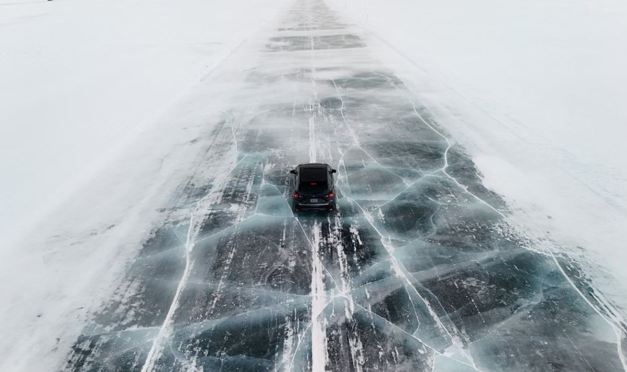
Tadoule Lake lies so far north in Manitoba that the provincial road network has long since vanished before you reach it.
Manitoba includes the community among its officially designated remote areas without a year-round all-weather road connection.
When you're this far north, aviation isn't some fancy alternative to driving. It's a basic transportation link.
If your idea of isolation is a cottage located 30 minutes outside town, Tadoule Lake would like a word.
#12. Churchill, Manitoba
Location: Hudson Bay, Manitoba
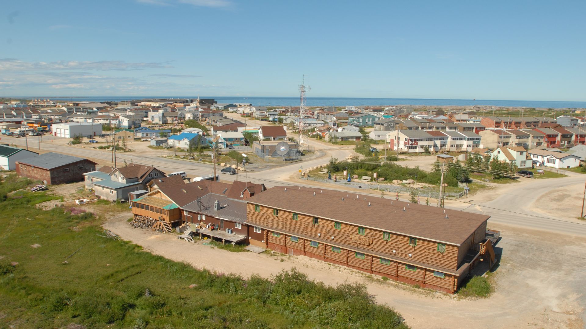
Churchill is famous for polar bears, belugas and northern lights.
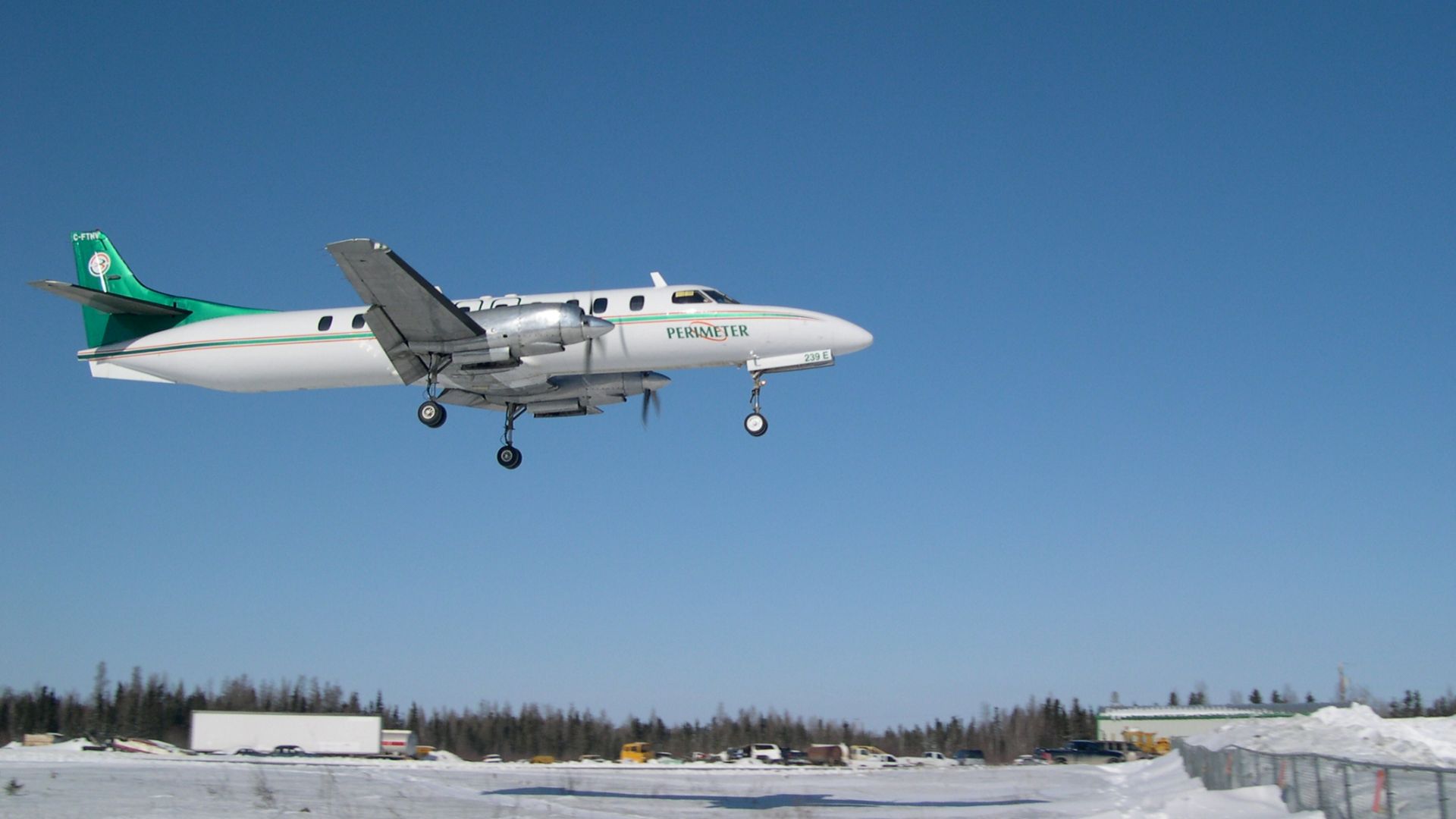
It's also famous for having no road into town whatsoever.
Parks Canada confirms that visitors arrive by scheduled air service or train. The Hudson Bay Railway provides an especially important surface connection to southern Canada.
So yes, Churchill has cars and local roads. But if you decide to drive one of those cars to Winnipeg, you're going to encounter one fairly significant problem: the road ends.
 Travel Manitoba, Wikimedia Commons
#11. Kuujjuaq, Quebec
Location: Nunavik, Northern Quebec
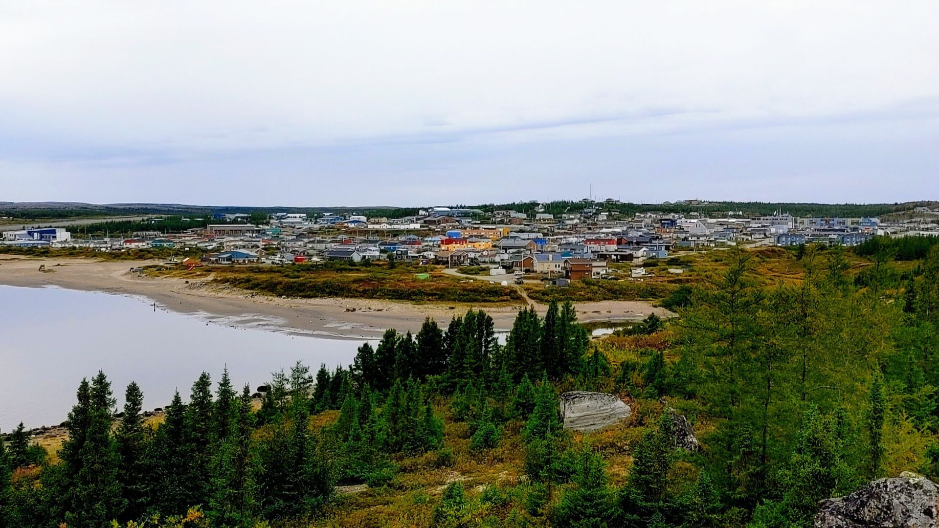
Kuujjuaq is the largest community in Nunavik and an important regional hub—but don't expect a highway connecting it to Montreal.
The Quebec government describes Nunavik's 14 villages as isolated communities with no road links. Aircraft are therefore essential for moving people around this enormous northern region.
Kuujjuaq may have shops, services and local traffic, but southern Quebec's highway system is hundreds of kilometres away.
That's one heck of a dead end.
#10. Salluit, Quebec
Location: Nunavik, Northern Quebec
Now we're getting seriously north.
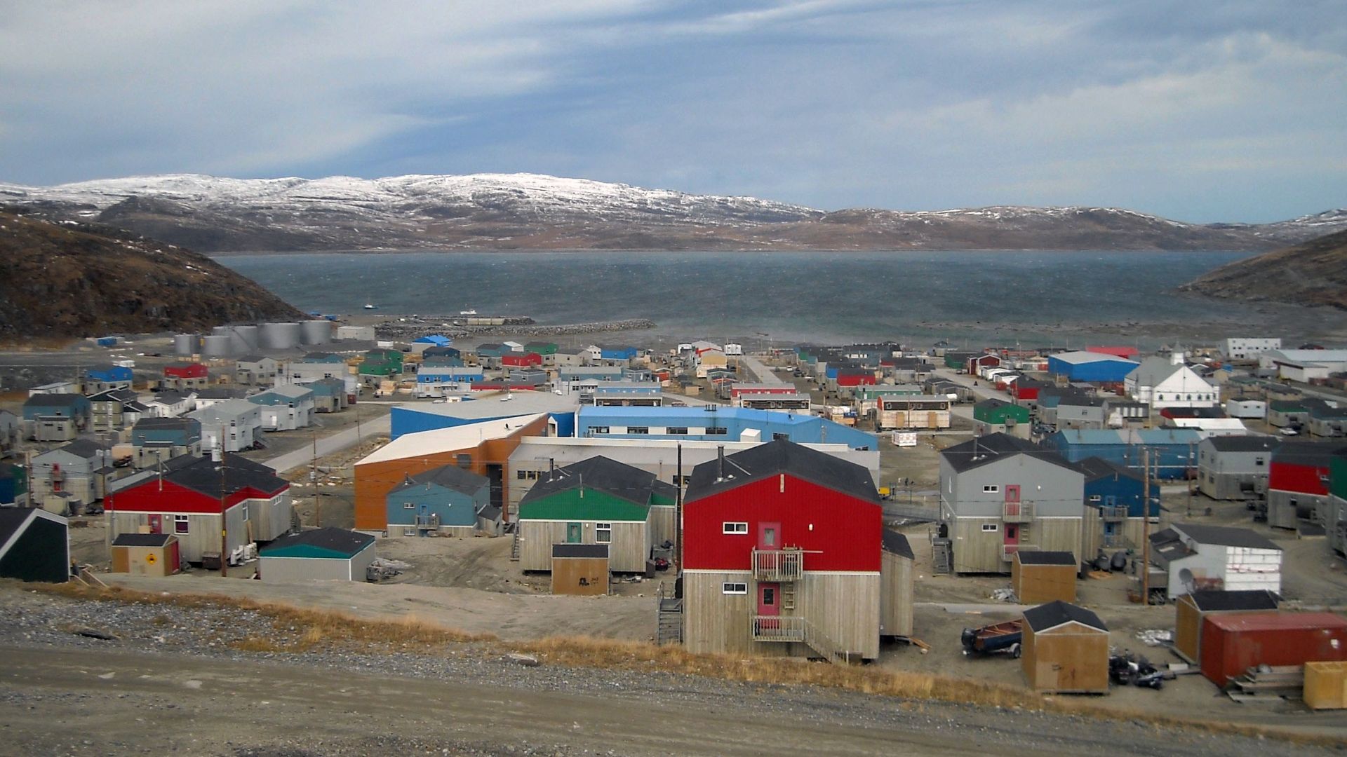
Salluit sits near the Hudson Strait on the Ungava Peninsula, well above the tree line. Like the rest of Nunavik's northern villages, it has no road connection to southern Quebec.
The provincial government officially describes all 14 Nunavik communities as isolated and without road access.
Montreal may technically be in the same province, but from here it can feel like an entirely different country.
 Diane Frappier, Wikimedia Commons
#9. Ivujivik, Quebec
Location: Nunavik, Northern Quebec
Keep going north from Salluit and eventually you'll reach Ivujivik, Quebec's northernmost community.
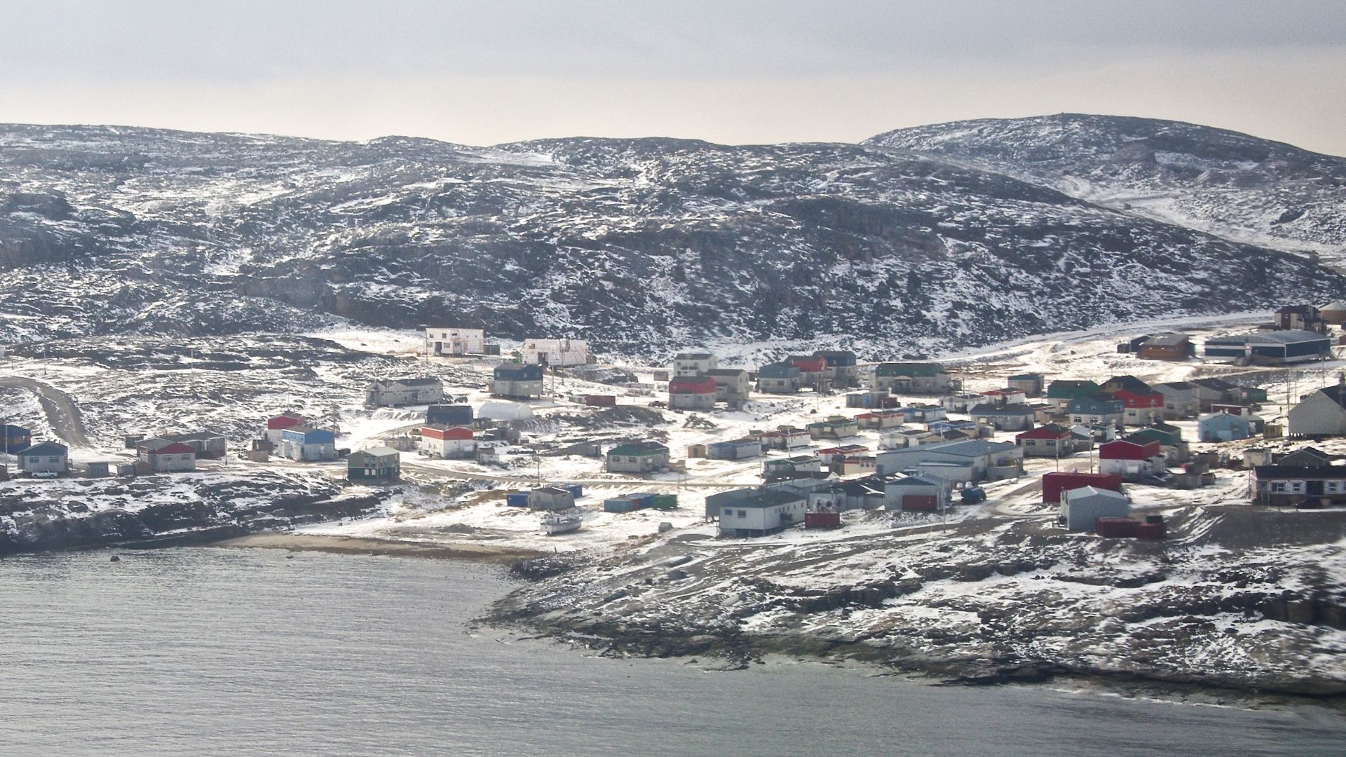
There is no highway bringing you here. Nunavik's villages aren't linked to Quebec's southern road network, meaning aviation plays an essential role in daily transportation and supplies.
Look at Ivujivik on a map and suddenly the sheer scale of Quebec becomes almost ridiculous.
You're still in the same province as Montreal. You're just very, very far from it.
 Ian Schofield, Wikimedia Commons
#8. Aklavik, Northwest Territories
Location: Mackenzie Delta, Northwest Territories
Aklavik provides one of Canada's strangest versions of road access: sometimes you can drive there. Sometimes you absolutely cannot.
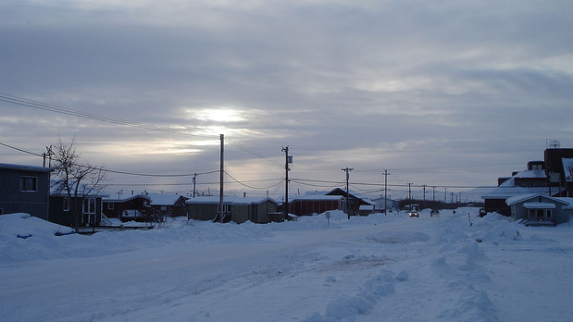
The community lacks a permanent all-season highway connection, but a roughly 116-kilometre ice road can connect Aklavik with the regional road system during winter.
When warmer weather arrives, that route disappears.
In other words, the Mackenzie Delta basically decides whether you're having a road-trip season.
 Mattcatpurple, Wikimedia Commons
#7. Gamètì, Northwest Territories
Location: North Slave Region, Northwest Territories
Gamètì is surrounded by lakes, boreal wilderness and enough empty country to make your phone's navigation app nervous.
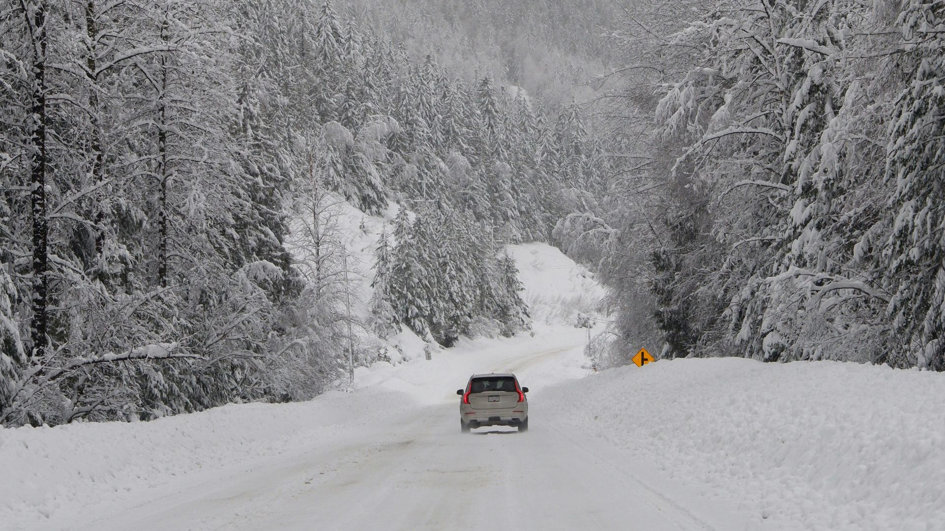
There is no permanent highway connecting the community to the rest of Canada. Instead, the Northwest Territories maintains a roughly 151-kilometre winter road.
When that seasonal route isn't operating, flying becomes the practical way in and out.
Down south, winter makes driving worse. Here, winter can actually create the road.
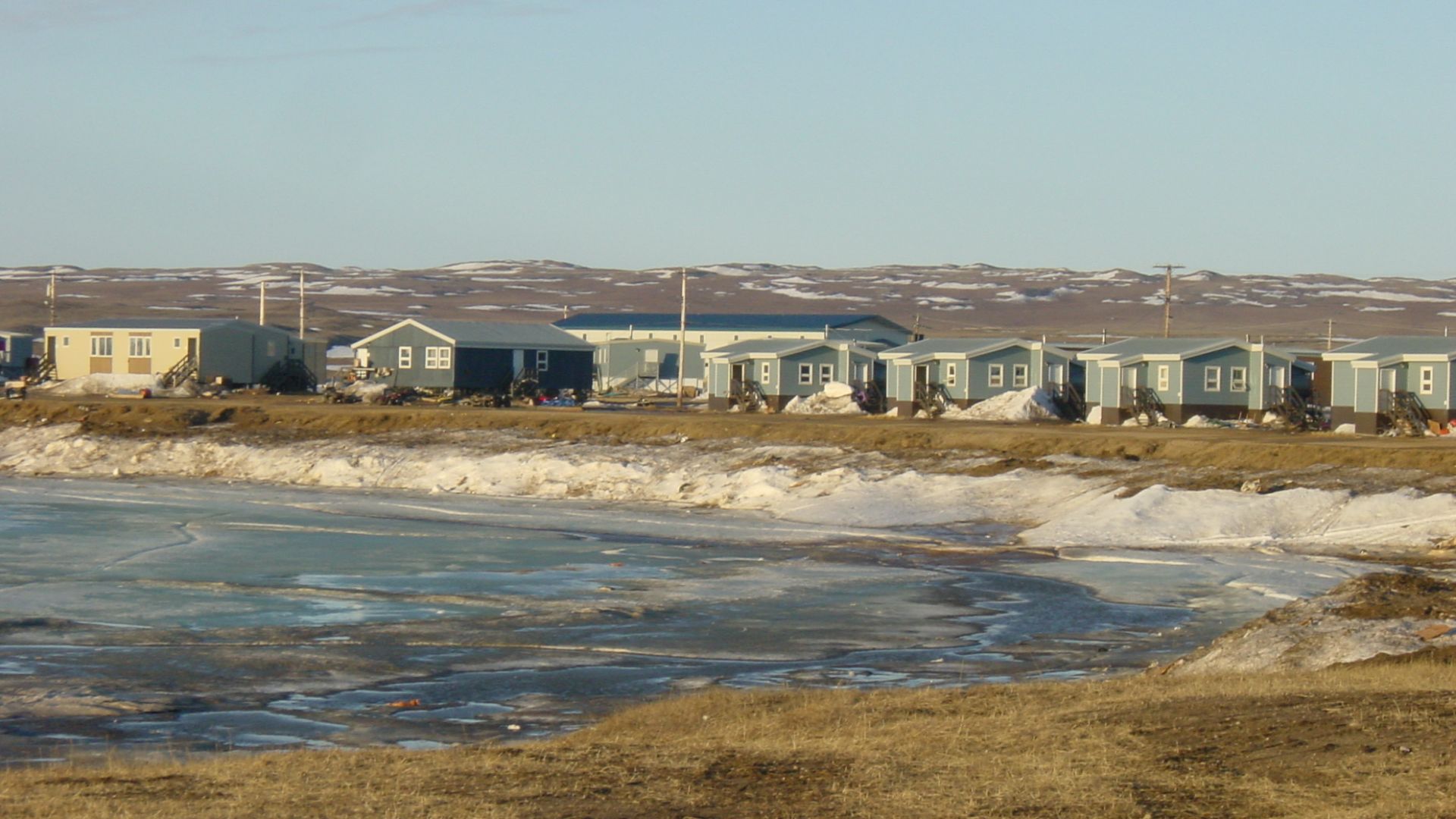
#6. Paulatuk, Northwest Territories
Location: Arctic Coast, Northwest Territories
Paulatuk sits beside Darnley Bay on the Arctic coast, surrounded by tundra and enormous stretches of wilderness.
The territorial government lists it among its fly-in communities, while major supplies arrive by summer barge. There is no all-season highway connecting Paulatuk to the rest of Canada.
This is the kind of place where forgetting something on a shopping trip isn't annoying.
It's potentially a very long wait until your next opportunity.
 James Heilman, MD, Wikimedia Commons
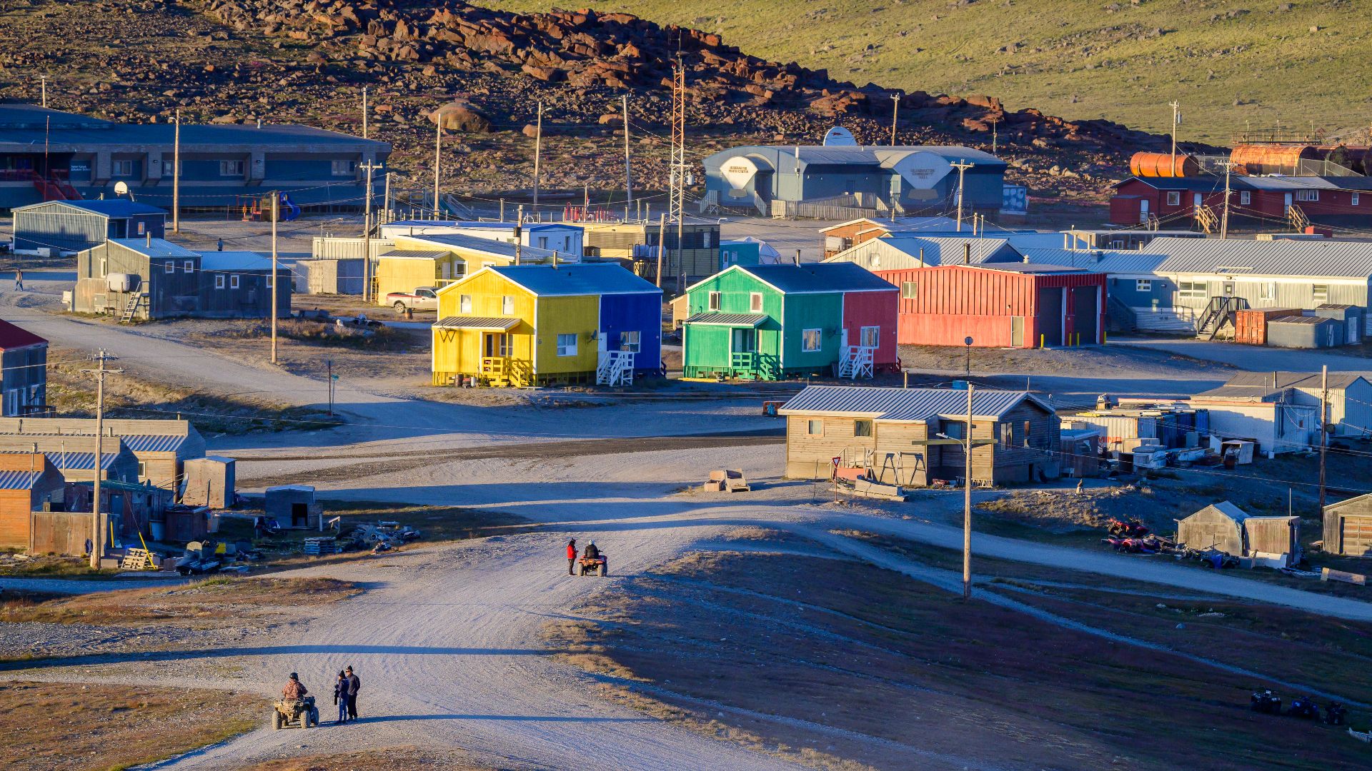
#5. Ulukhaktok, Northwest Territories
Location: Victoria Island, Northwest Territories
Ulukhaktok has a pretty serious obstacle between itself and Canada's highway network: it's on Victoria Island.
The western Arctic community is reached primarily by air, with marine resupply arriving during summer. The Northwest Territories identifies Ulukhaktok among its isolated fly-in communities.
You can drive around locally, but you're certainly not driving home to Edmonton.
First you'd need somebody to build an extremely ambitious bridge across the Arctic.
 Stephan Sprinz, Wikimedia Commons
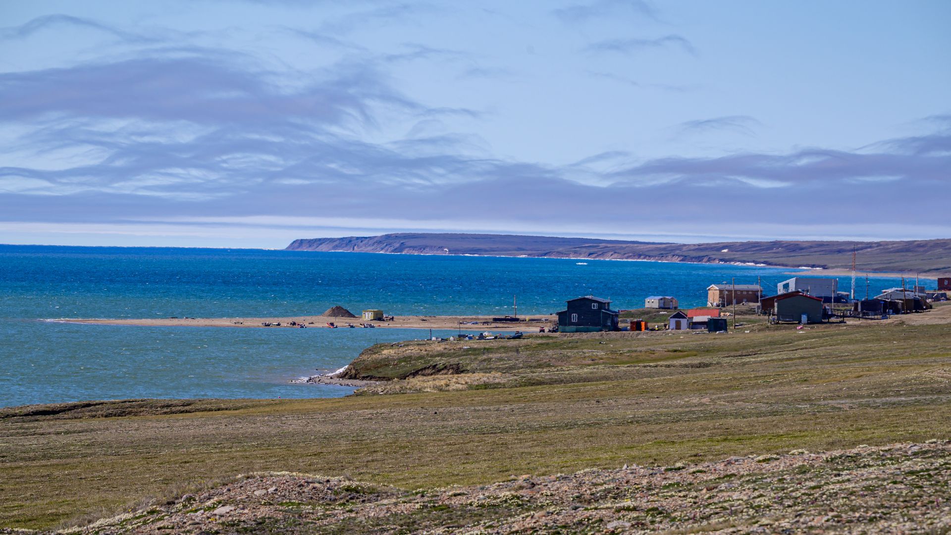
#4. Sachs Harbour, Northwest Territories
Location: Banks Island, Northwest Territories
Sachs Harbour is the only permanent community on Banks Island, and its isolation is difficult to exaggerate.
The Northwest Territories lists it among communities accessible primarily by air, with summer marine resupply used for larger goods. Recent territorial estimates put its population at little more than 100 people.
One tiny settlement. One enormous Arctic island.
If you're looking for a place where rush hour isn't going to ruin your morning, you've found it.
 Stephan Sprinz, Wikimedia Commons
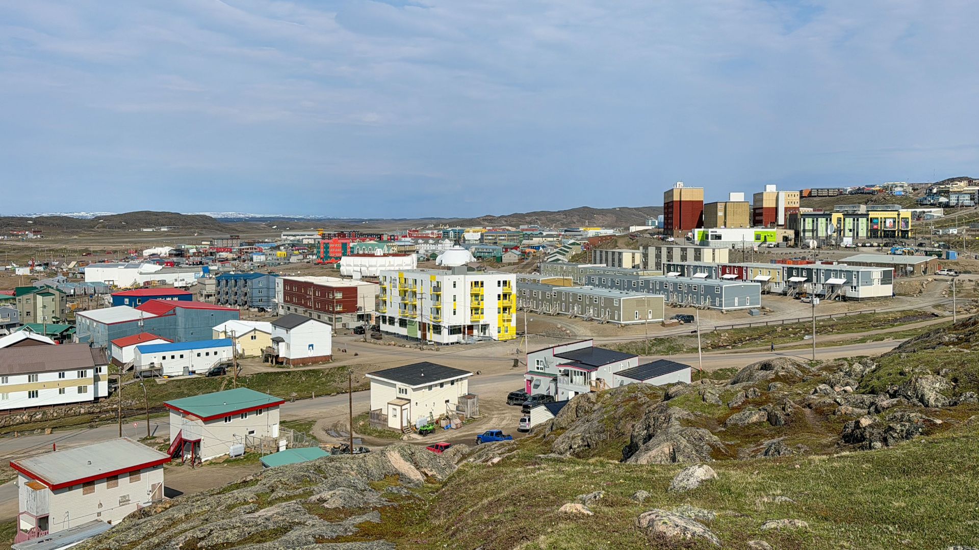
#3. Iqaluit, Nunavut
Location: Baffin Island, Nunavut
Iqaluit is a territorial capital with government offices, hotels, restaurants, traffic—and absolutely no highway connecting it to another Canadian city.
That contrast makes it fascinating.
You can drive around Iqaluit normally, but eventually every road stops. Getting to southern Canada means flying, while large quantities of cargo arrive seasonally by ship.
Imagine living in a capital city where the Trans-Canada Highway isn't merely far away. It's completely unreachable by car.
 Quintin Soloviev, Wikimedia Commons
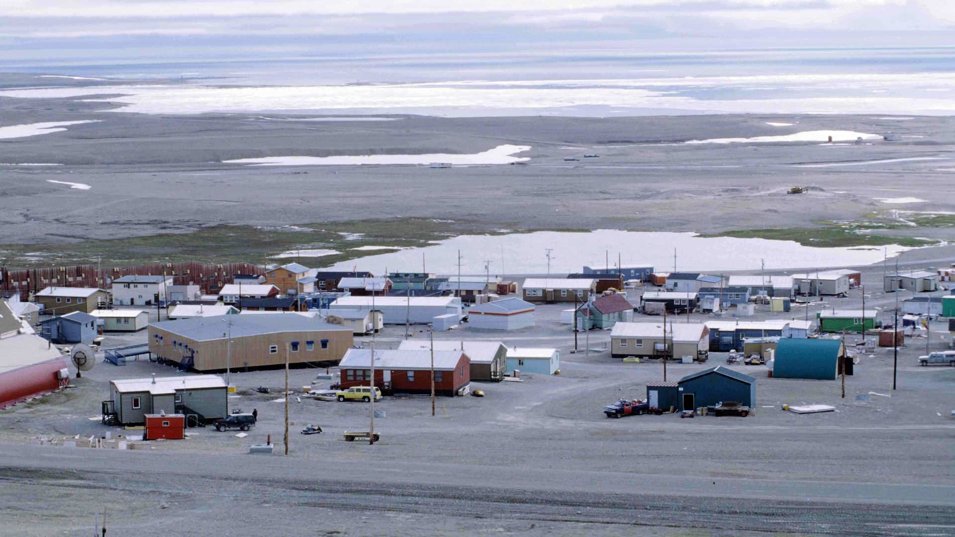
#2. Resolute, Nunavut
Location: Cornwallis Island, Nunavut
Resolute is where Canada's definition of "remote" starts getting almost comical.
The tiny High Arctic community sits on Cornwallis Island at roughly 74° north. There is no highway south because, well, there isn't even continuous land south.
Flights connect Resolute with other communities, while the surrounding landscape stretches into an enormous world of rock, snow, sea and ice.
Forget driving to the next province.
You're on an Arctic island thousands of kilometres into Canada's north.
 Ansgar Walk, Wikimedia Commons
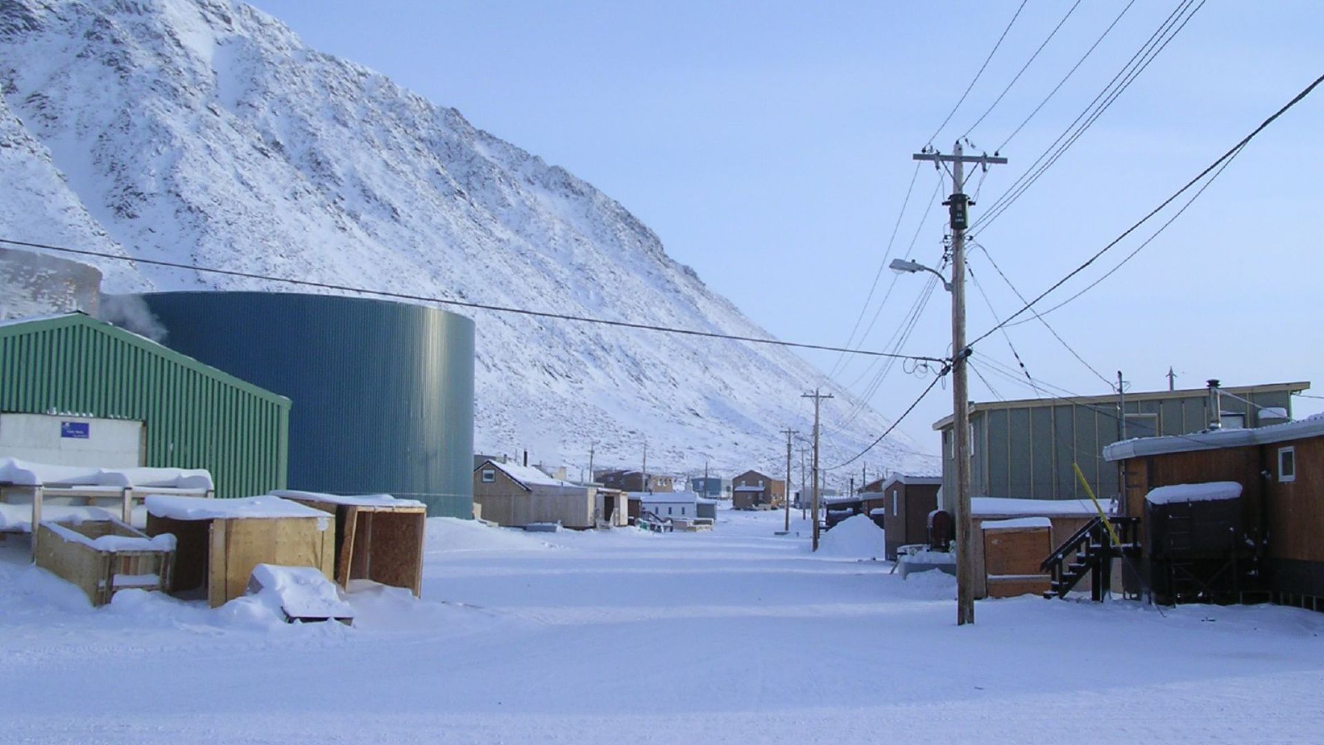
#1. Grise Fiord, Nunavut
Location: Ellesmere Island, Nunavut
This is about as extreme as Canadian community life gets.
Grise Fiord sits on Ellesmere Island and is Canada's northernmost civilian community. Its Inuktitut name, Ausuittuq, is commonly translated as "place that never thaws."
There is obviously no highway south. The community is surrounded by mountains, Arctic water and an almost unimaginable amount of wilderness.
Most Canadians measure a long trip in hours.
From Grise Fiord, simply reaching Canada's interconnected highway network requires an airplane and a journey south that reminds you just how gigantic this country actually is.
So, after seeing all 20—how long do you think you could last?
 Northern Pix - https://www.flickr.com/people/northernpix/, Wikimedia Commons
You May Also Like: Canadians Were Asked Which States They Skip When They Visit America. Here’s What They Said