America Is More Walkable Than You Think
Americans love their cars, but that doesn't mean every U.S. trip requires one. Some cities have compact downtowns, useful transit, and neighborhoods where walking is actually the easiest option. For Canadian visitors expecting endless highways and parking lots, these places can be a genuine surprise.
 we.bond.creations, Shutterstock
Philadelphia
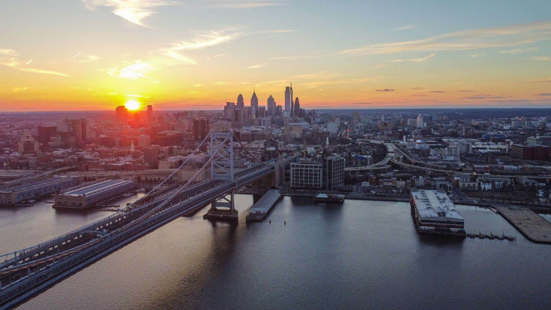
Philadelphia packs a lot into a relatively compact Center City. Historic sites, restaurants, markets, parks, and museums are often within an easy walk of one another. SEPTA makes longer trips simple when your feet need a break.
 Abhiram Juvvadi, Wikimedia Commons
Boston
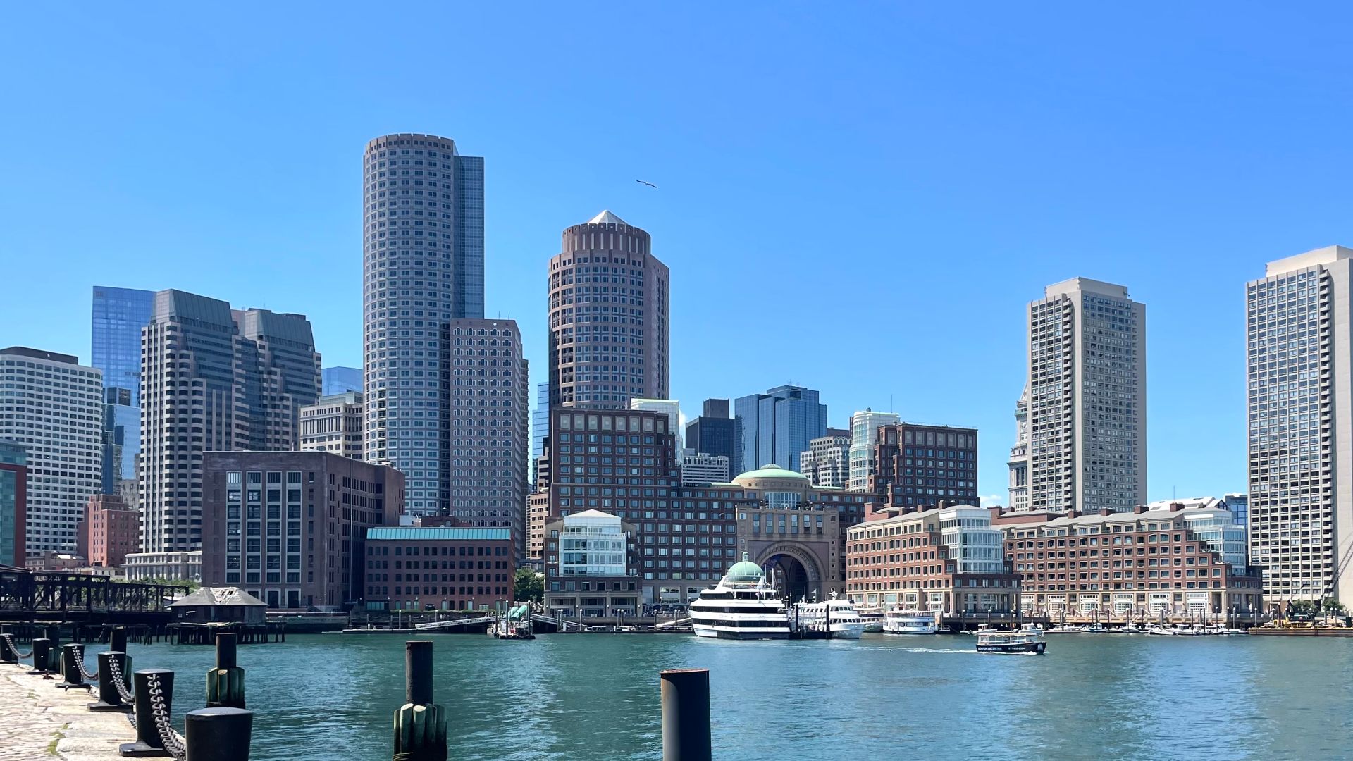
Boston is often called “America’s Walking City” for good reason. Its compact center connects historic streets, waterfront areas, restaurants, and major attractions. The MBTA subway makes it easy to go farther without renting a car.
Washington, D.C.
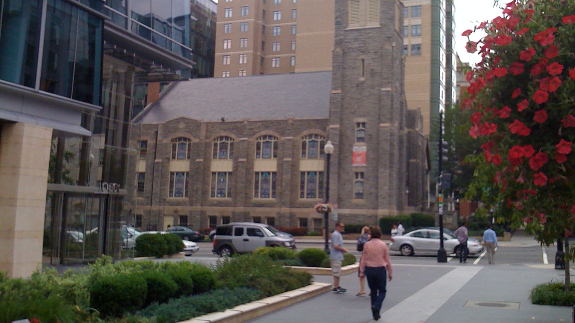
Washington’s huge avenues can make the city seem more spread out than it really is. The National Mall, Downtown, Capitol Hill, and several popular neighborhoods are easy to combine on foot. Metro handles most of the longer distances.
Chicago
Chicago is enormous, but the visitor experience can feel surprisingly manageable. Its street grid is easy to understand, while the CTA connects downtown with neighborhoods across the city. Much of the central sightseeing area is highly walkable.
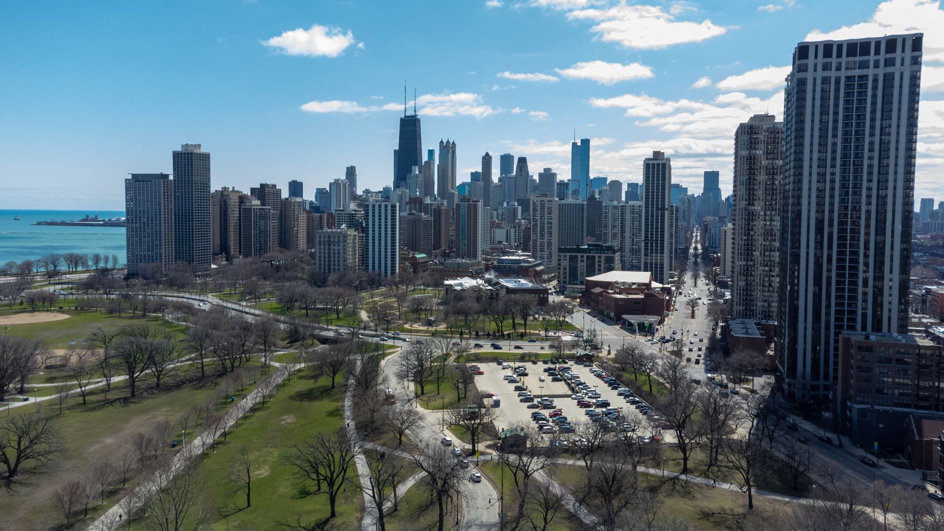
San Francisco
San Francisco’s hills can be intimidating, but walking is only part of the equation. Muni trains, buses, cable cars, streetcars, BART, and ferries make getting around without a car realistic. Several waterfront neighborhoods are also much flatter than visitors expect.
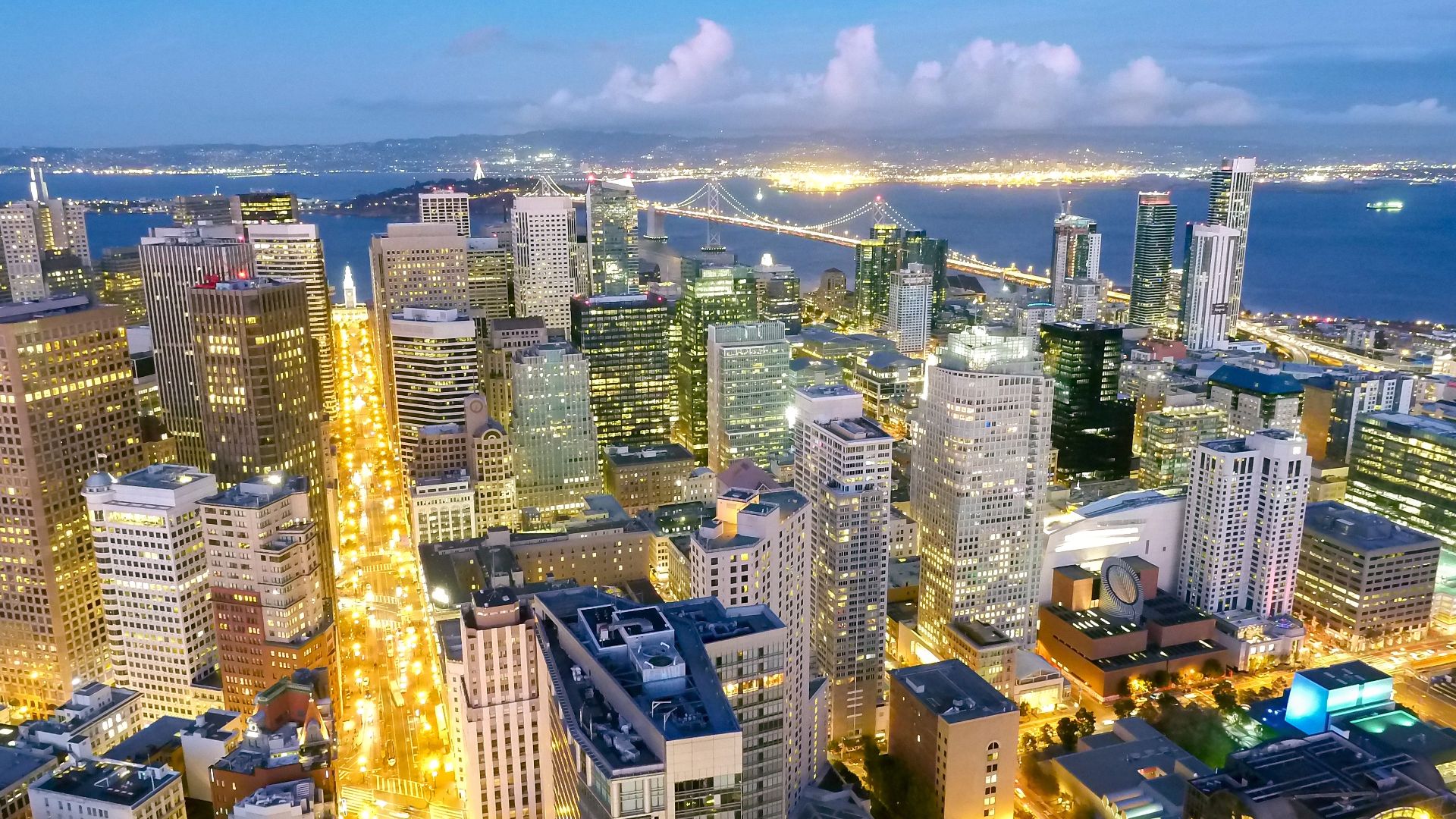 Sasha • Stories, Wikimedia Commons
Seattle
Seattle’s hills and surrounding suburbs can give it a car-heavy reputation. Stay near downtown, Capitol Hill, Pioneer Square, or another Link light rail stop, and the experience changes quickly. Many major visitor areas are easy to connect without driving.
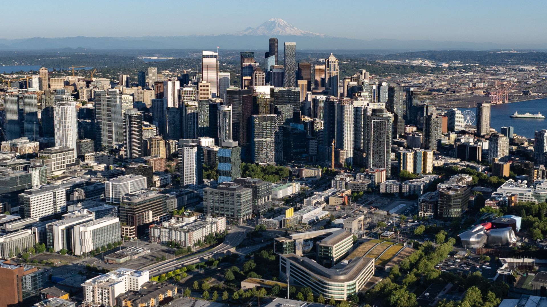 Spicypepper999, Wikimedia Commons
Portland, Oregon
Portland has spent decades building alternatives to driving. MAX light rail, streetcars, buses, bike routes, and compact neighborhoods all help visitors get around. Downtown itself is particularly easy to explore on foot.
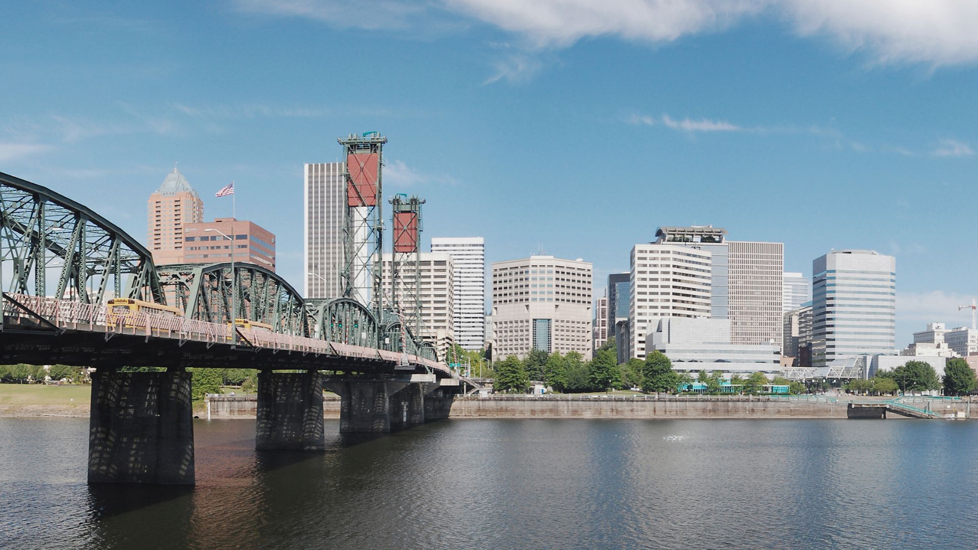
Minneapolis
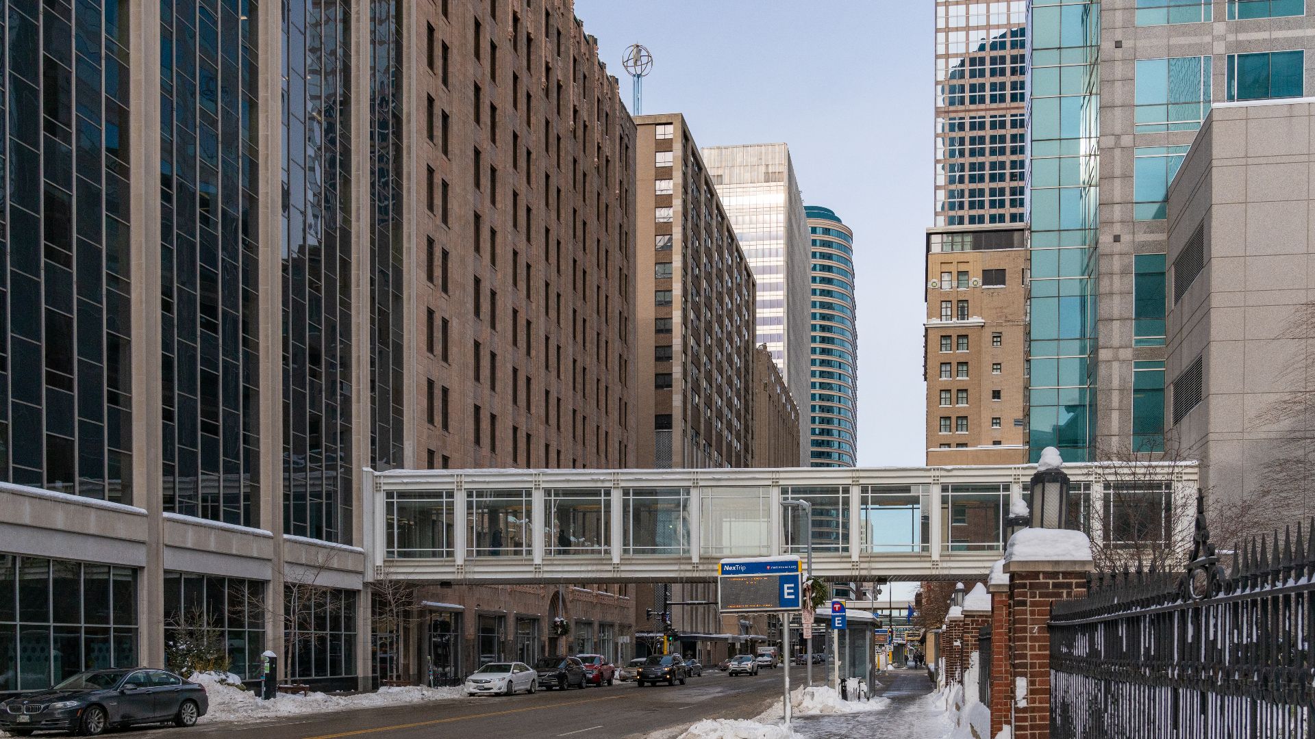
Minneapolis has one of the more unusual pedestrian systems in the country. Its downtown Skyway connects buildings above street level, helping people avoid harsh winter weather. Light rail and the pedestrian-focused Nicollet corridor add even more options.
 Tony Webster from Minneapolis, Minnesota, United States, Wikimedia Commons
Pittsburgh
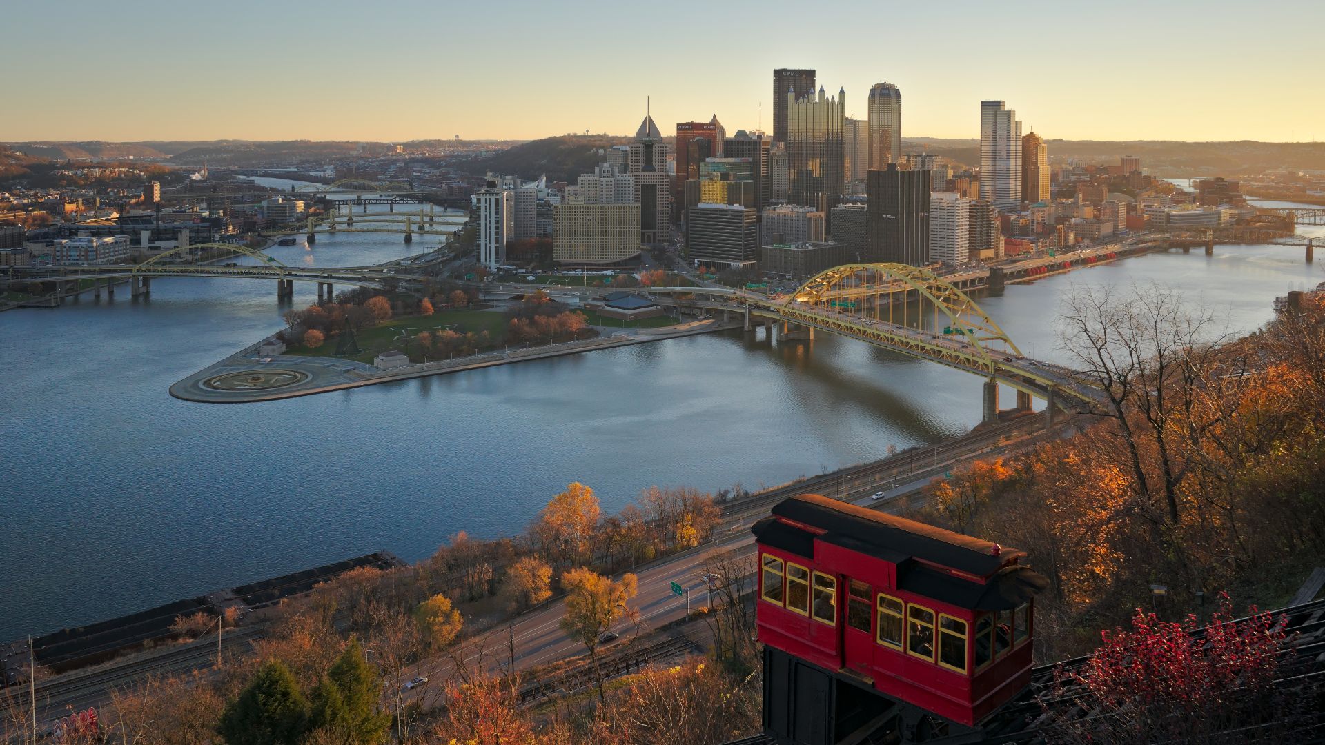
Pittsburgh’s hills and bridges make it look difficult without a car. Downtown’s Golden Triangle is actually fairly compact, with many attractions only a few blocks apart. Transit and the city’s famous inclines help with the steeper sections.
Baltimore
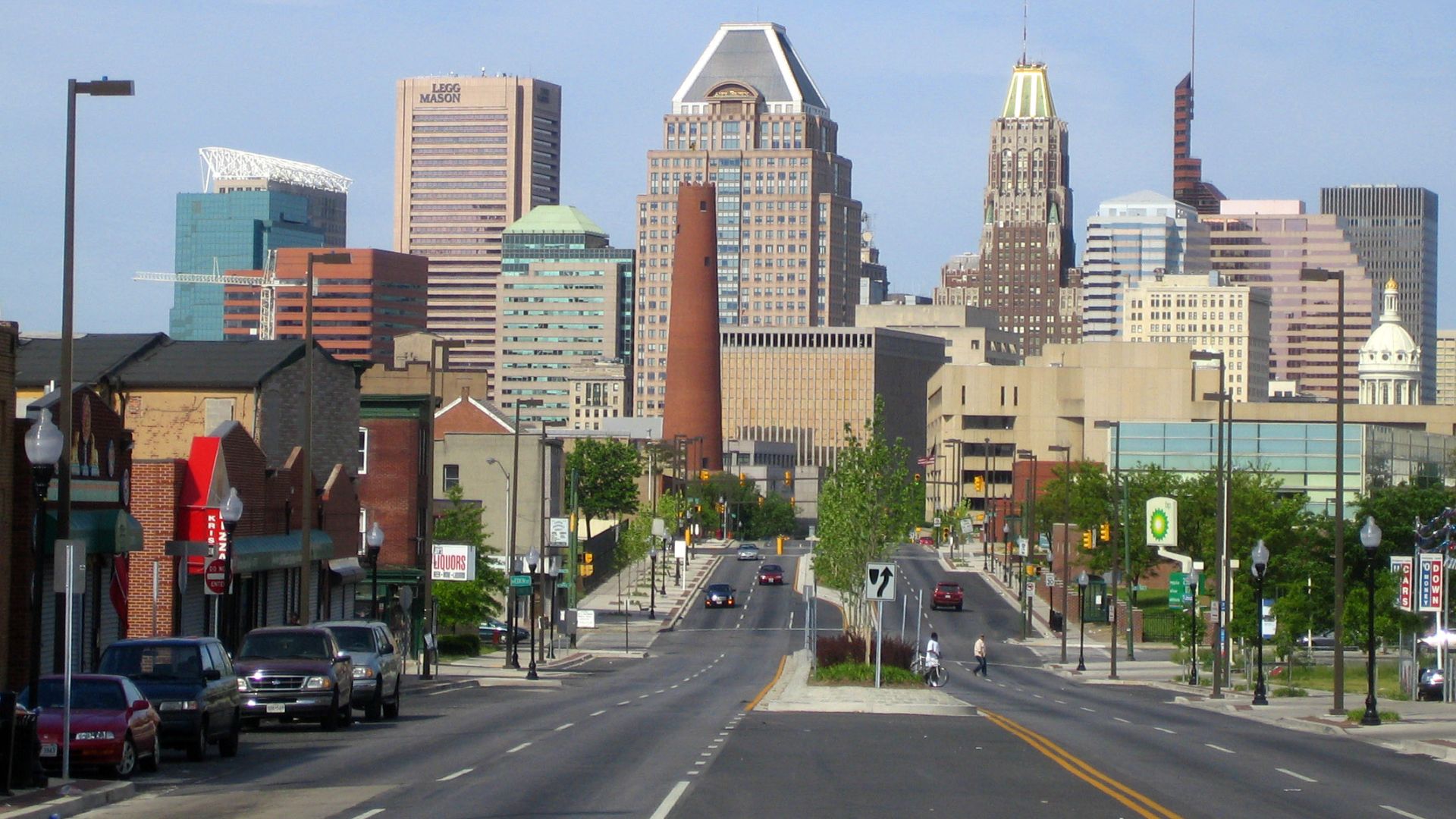
Baltimore is not uniformly walkable, but its central visitor districts are easier than many expect. The Inner Harbor links naturally with nearby neighborhoods and attractions. Free circulator buses and water transportation help fill the gaps.
 User:Steelplug, Wikimedia Commons
New Orleans
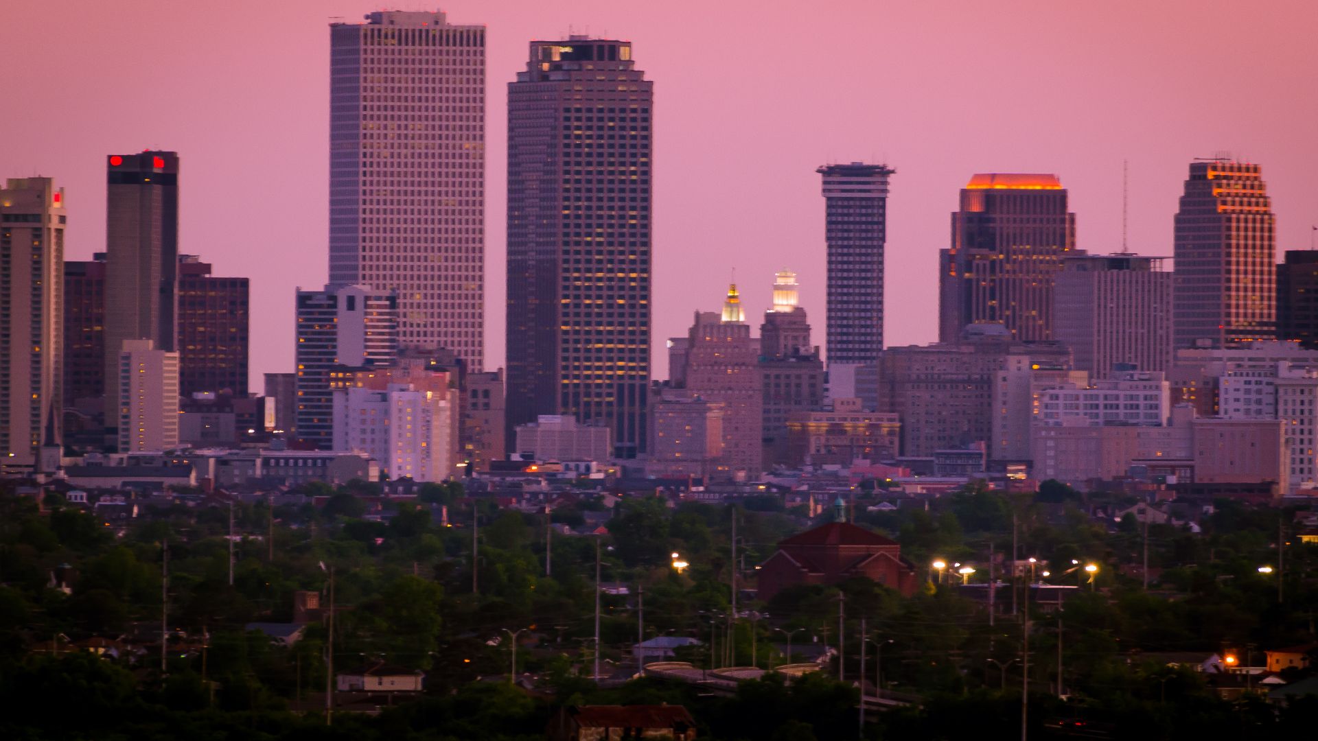
A rental car can be more trouble than help in central New Orleans. The French Quarter, Marigny, Warehouse District, and nearby areas are easy to combine with walking and streetcars. Visitors staying near the center can often skip the car entirely.
Savannah
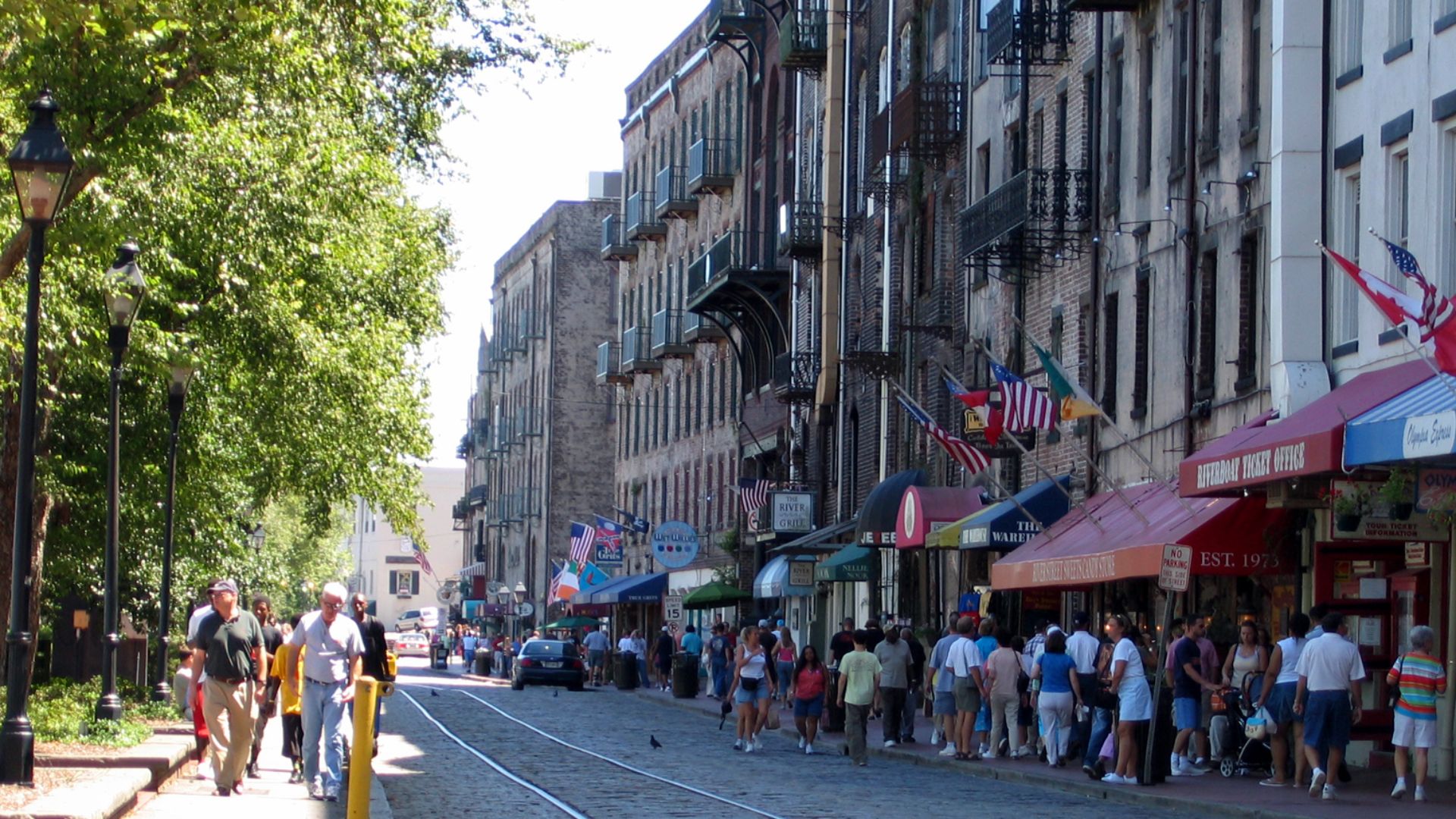
Savannah’s historic center feels built for exploring slowly. Its famous squares, restaurants, shops, historic buildings, and riverfront sit close together. Free downtown transportation is available when the Georgia heat gets tiring.
Providence
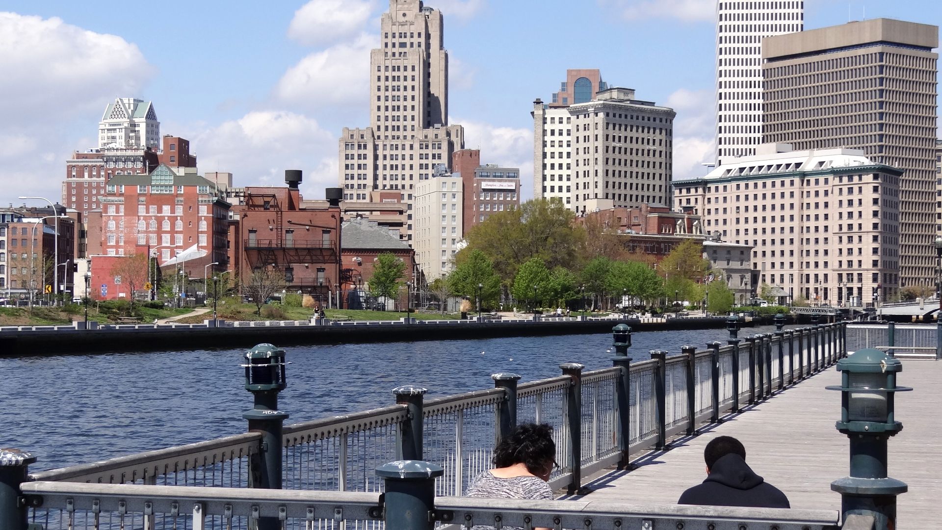
Providence, Rhode Island is much more compact than many first-time visitors expect. Downtown, the riverfront, restaurants, and historic streets are easy to explore on foot. The central train station also makes arriving without a car convenient.
 Adam Jones from Kelowna, BC, Canada, Wikimedia Commons
Miami Beach
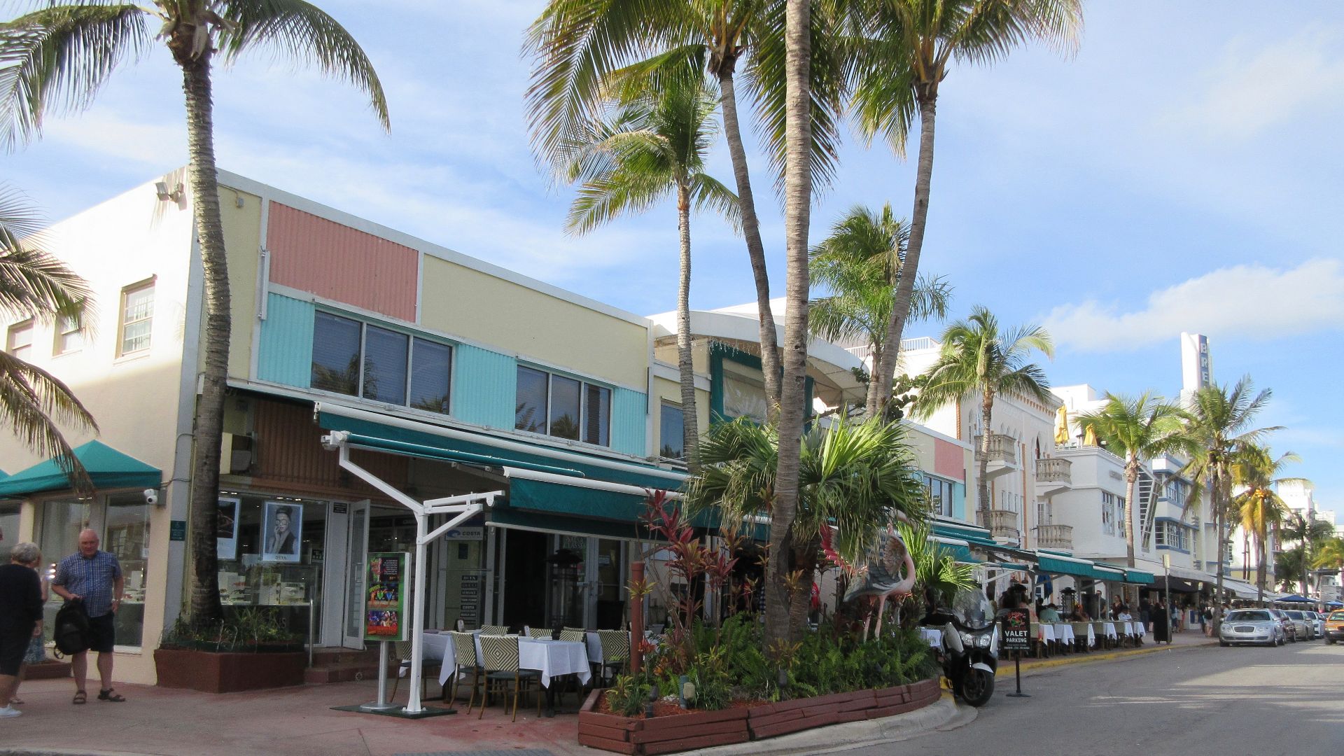
Greater Miami is sprawling, but Miami Beach tells a very different story. South Beach has pedestrian-friendly streets, the oceanfront Beachwalk, and plenty of attractions close together. Free trolleys connect areas farther up the island.
 Infrogmation of New Orleans, Wikimedia Commons
Charleston
Charleston’s historic peninsula is best experienced on foot. Restaurants, shops, churches, historic homes, and waterfront streets are packed into a relatively small area. A free downtown shuttle helps when you want to cover more ground.
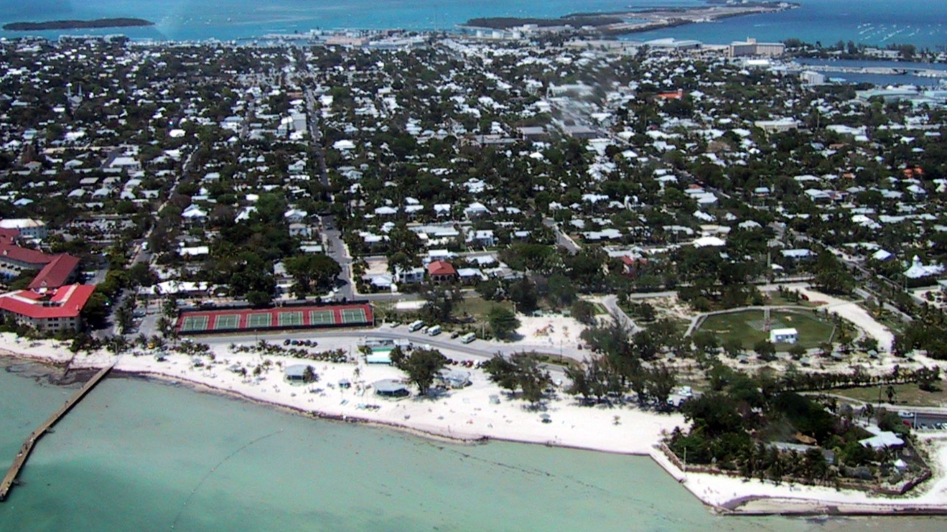
Key West
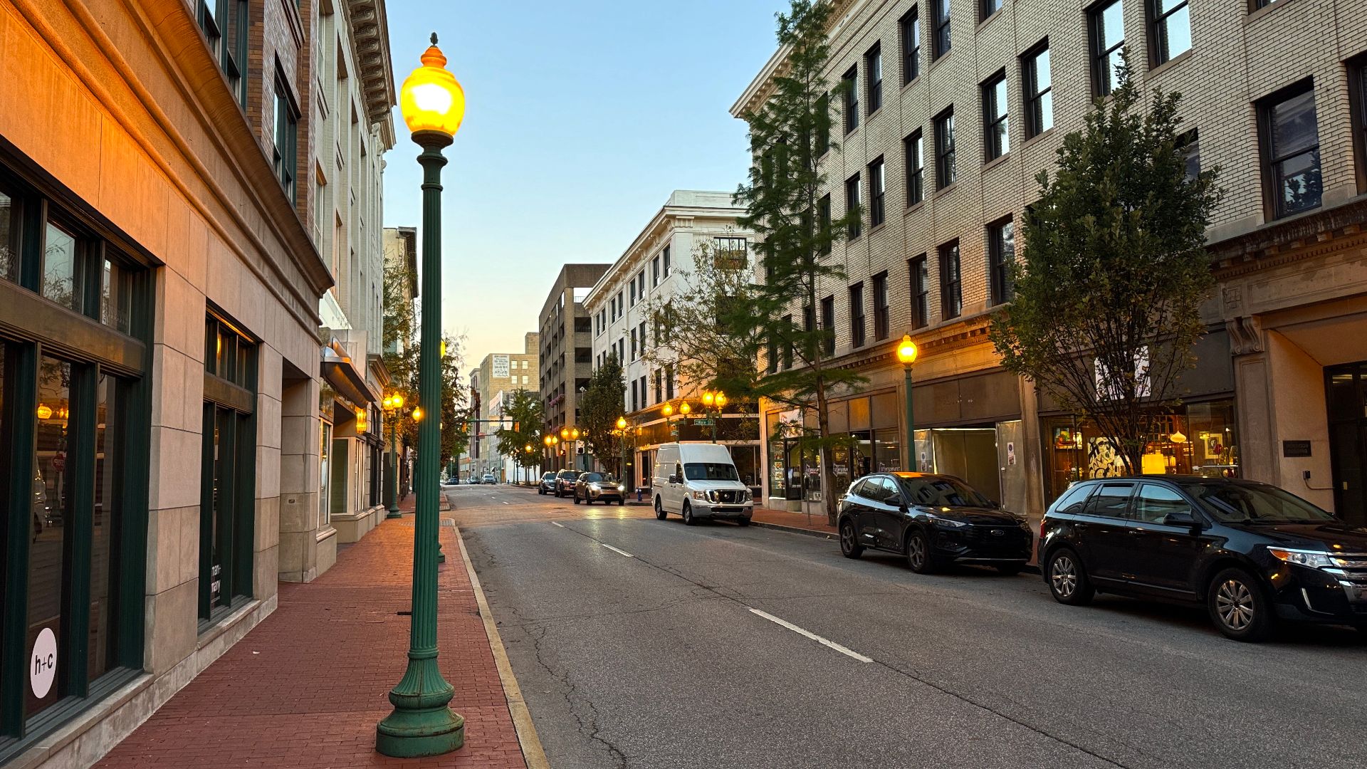
Key West is small enough that driving can feel unnecessary. Walking and cycling work well around the historic center, waterfront, and Duval Street. The free Duval Loop makes getting around even easier.
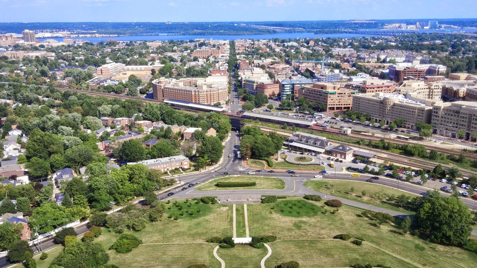
Alexandria
Old Town Alexandria, Virginia, is remarkably easy to explore without driving. King Street runs from near the Metro toward the waterfront, passing shops, restaurants, and historic buildings. A free trolley covers the same route if you get tired.
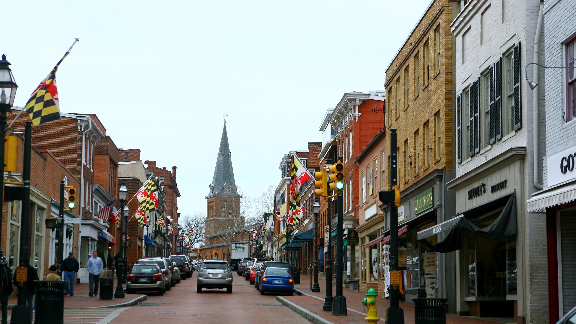
Annapolis
Downtown Annapolis packs a surprising amount into a small historic core. City Dock, Main Street, restaurants, shops, and the Maryland State House are close together. Even nearby Eastport can be reached with a simple walk across the bridge.
 Flickr user: high limitzz https://www.flickr.com/people/highlimitstudio/, Wikimedia Commons
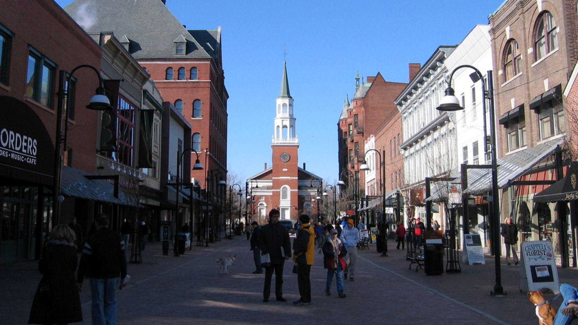
Burlington
Burlington, Vermont, centers much of its downtown activity around the pedestrian-only Church Street Marketplace. Restaurants, shops, hotels, and Lake Champlain are all close by. Visitors staying downtown can easily spend a weekend without touching a car.
 Jared and Corin, Wikimedia Commons
Portland, Maine
Portland’s Old Port and waterfront are ideal for wandering. Restaurants, galleries, shops, and historic streets sit close together on the peninsula. A car becomes much more useful only when you start exploring farther along the Maine coast.
Buffalo
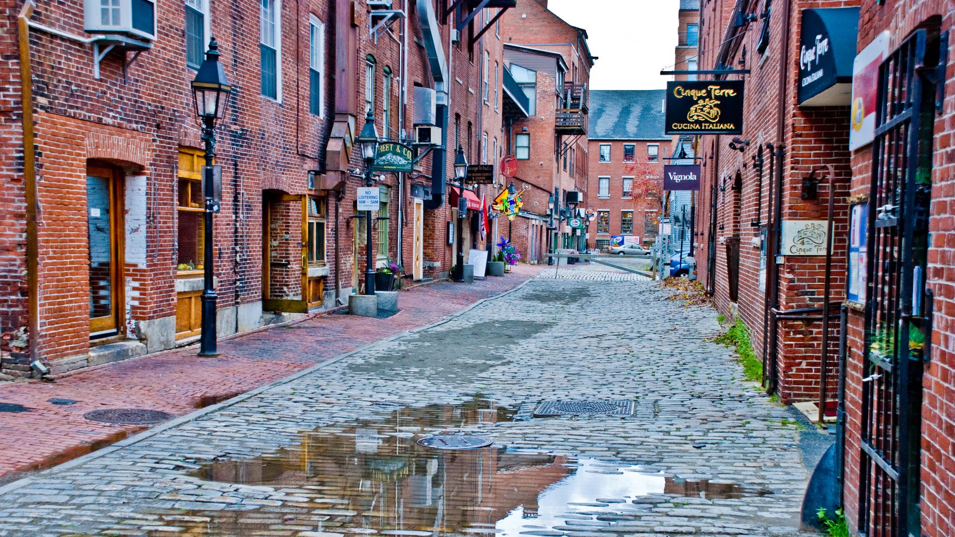
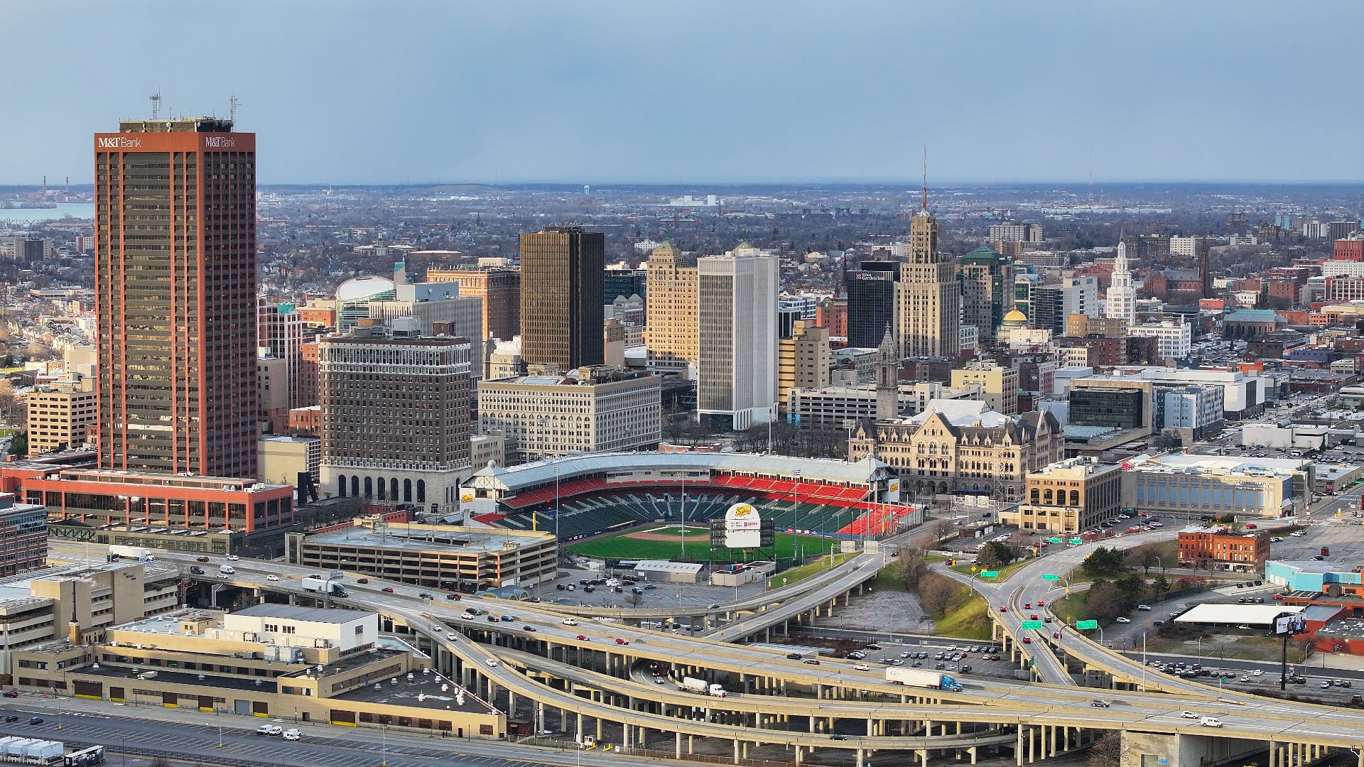
Canadians often experience Buffalo from highways, malls, airports, and parking lots. Downtown feels surprisingly different, with walkable areas and free Metro Rail service along part of Main Street. Canalside and nearby entertainment districts are easy to explore without constantly driving.
 Quintin Soloviev, Wikimedia Commons
Detroit
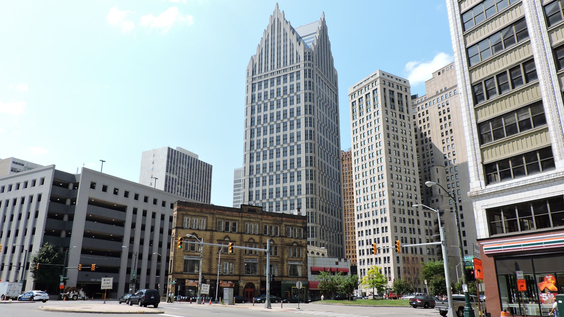
Detroit may be America’s ultimate car city, which makes downtown particularly surprising. The People Mover, QLINE streetcar, and riverfront connect several central attractions. A short downtown stay can involve far less driving than the city’s reputation suggests.
 sandertheone, Wikimedia Commons
Cleveland
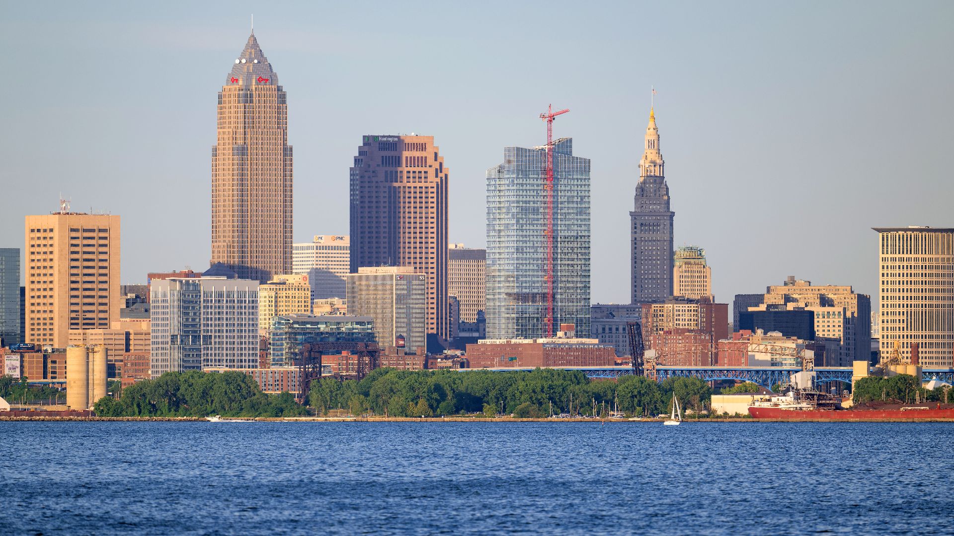
Cleveland’s wider metro area is spread out, but downtown is much more manageable. Public Square, East Fourth Street, sports venues, and other central attractions sit fairly close together. Rail service even connects downtown directly with the airport.
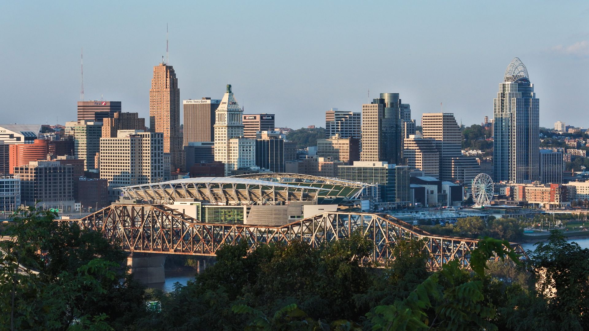
Cincinnati
Cincinnati’s hills can make walking tiring, but its central districts connect well. Downtown, The Banks, and Over-the-Rhine sit along the free Connector streetcar route. You can walk until the hills win, then hop aboard.
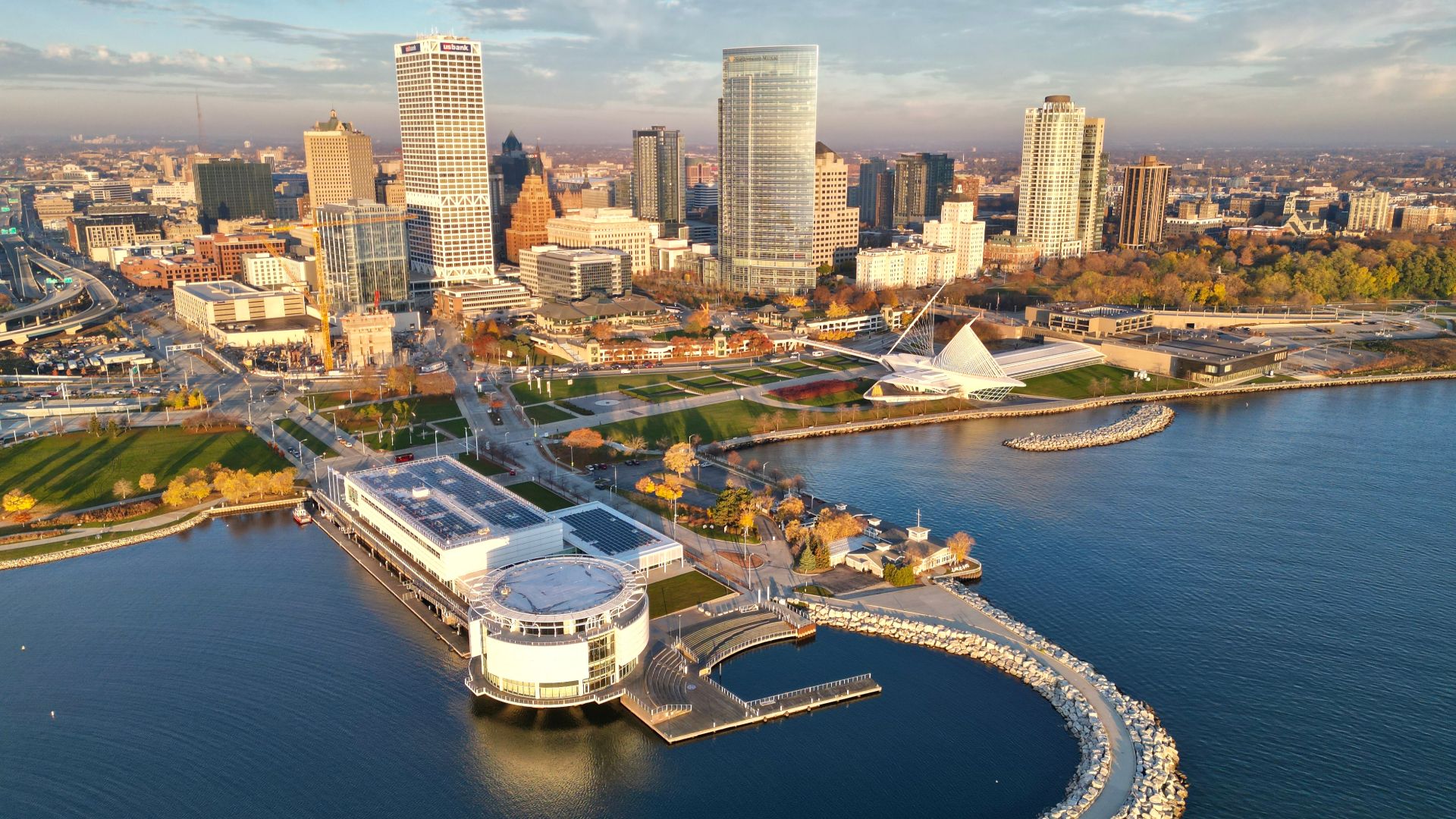
Milwaukee
Milwaukee’s downtown is compact enough to cover comfortably on foot. The RiverWalk connects several central neighborhoods, while The Hop streetcar adds another free transportation option. The Historic Third Ward is particularly easy to reach without driving.
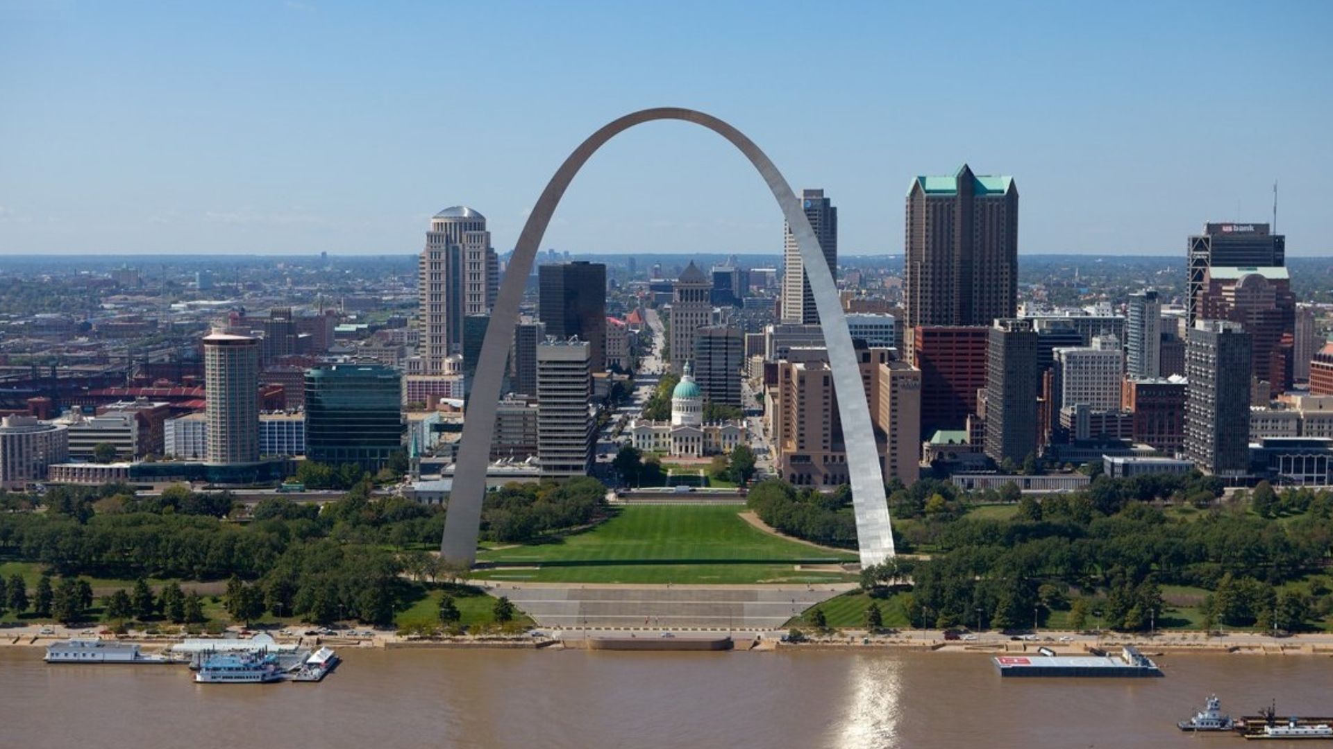
St. Louis
St. Louis is definitely not walkable everywhere. Downtown, however, has clusters of attractions connected by sidewalks and MetroLink stations. Visitors who stay central can avoid more driving than the city’s sprawling map suggests.
Location Makes All The Difference
The trick is not finding an American city where nobody drives. It is choosing a hotel near the neighborhoods where visitors actually want to spend their time. Get that part right, and a city that looked hopelessly car-focused can suddenly become a walking trip.

You May Also Like:
Things Americans Notice Immediately When They Visit A Canadian Grocery Store
Things Canadians Find Surprisingly Different When They Visit California
Sources: 1, 2, 3, 4, 5, 6, 7, 8, 9, 10, 11. 12, 13, 14, 15. 16, 17, 18, 19, 20