
Ground Breaks Open
The ground beneath Karnak has been keeping a secret. Scientists finally went looking under the temple’s famous halls. What they pulled up rewrites the story of how this sacred giant came to be.
 Dennis G. Jarvis, CC BY-SA 2.0, Wikimedia Commons, Modified
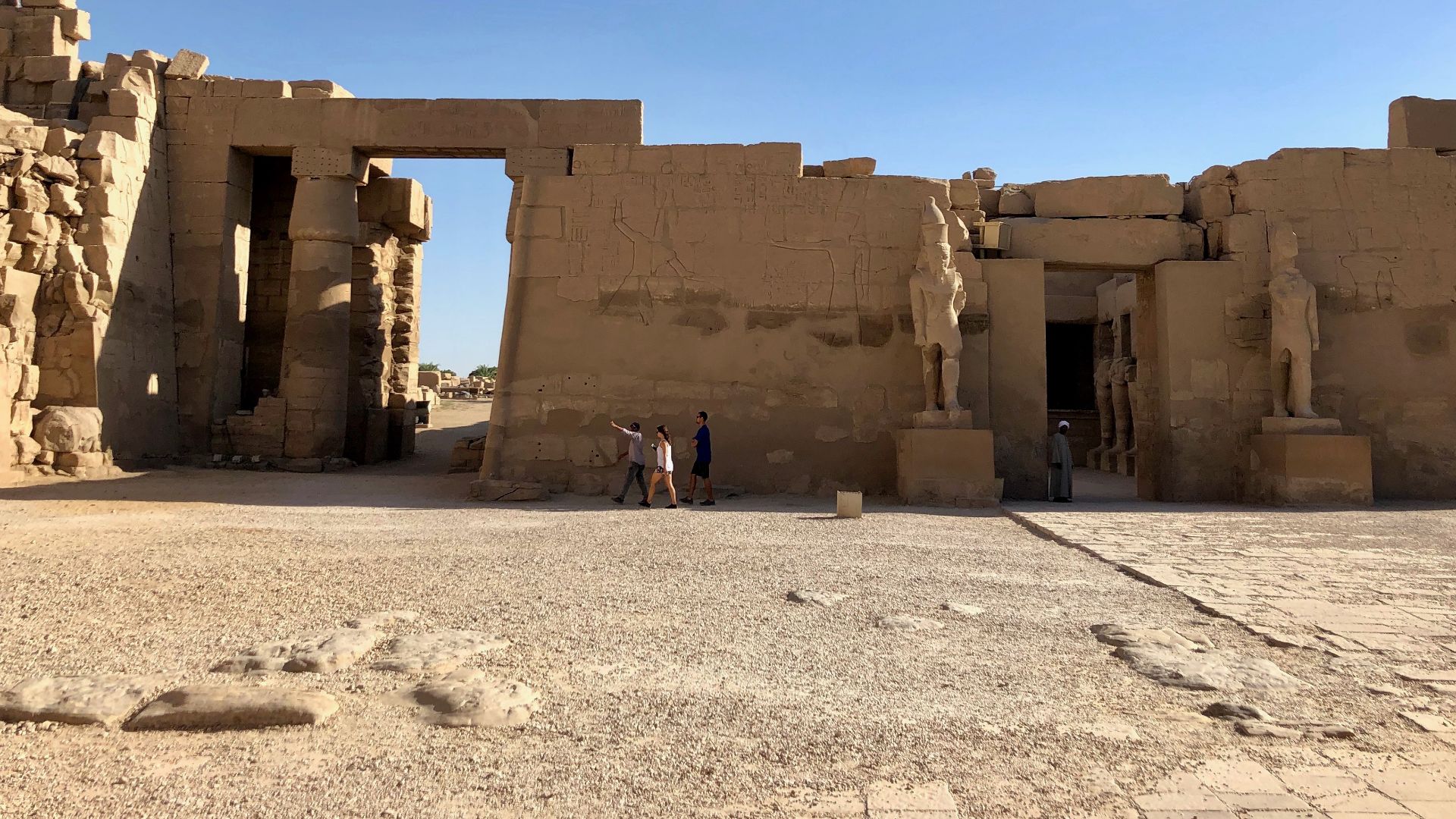
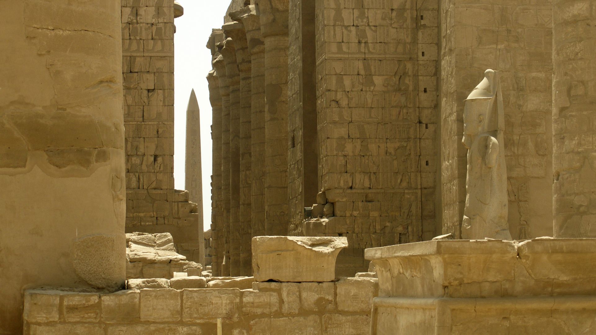
Meet Karnak
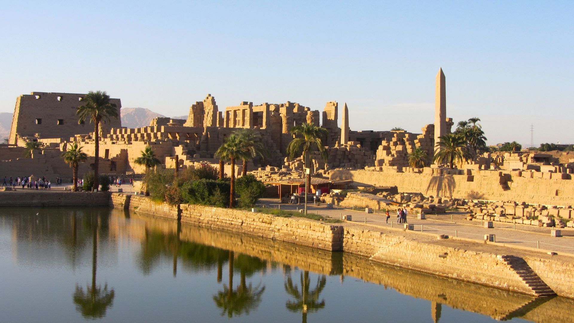
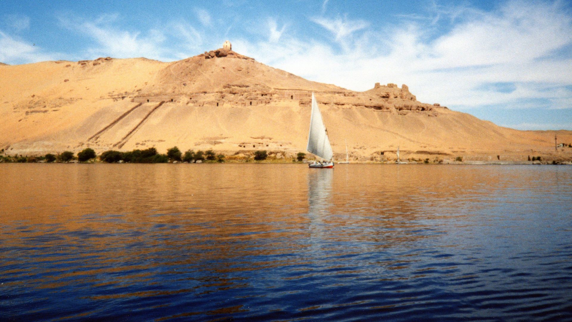
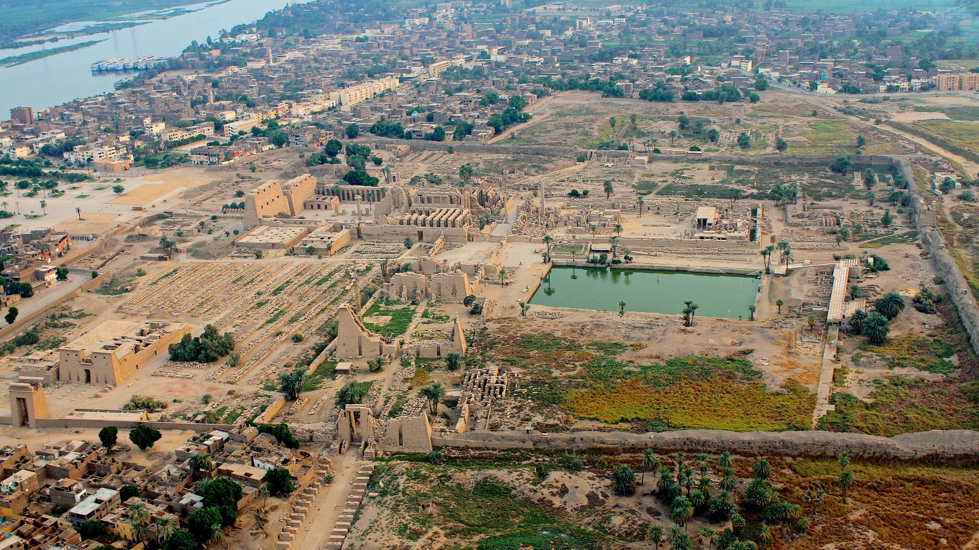
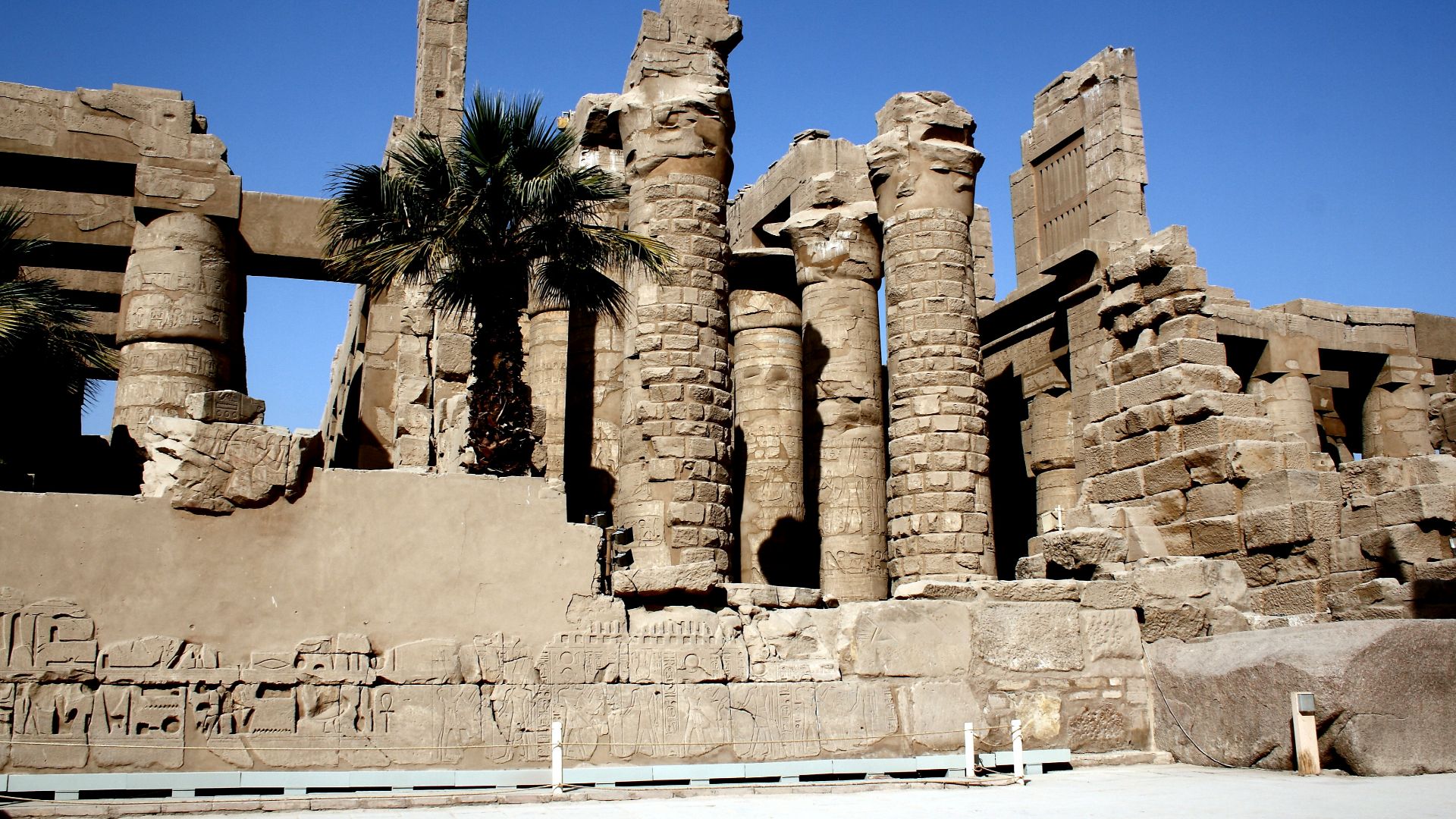
Few temples on Earth have held their ground for as long as Karnak. Sitting about 500 meters east of the modern Nile near Luxor, Egypt, this colossal complex dedicated to Amun-Ra has been drawing worshippers, pharaohs, and now scientists for thousands of years.
 Taranis-iuppiter, Wikimedia Commons
Ancient Thebes
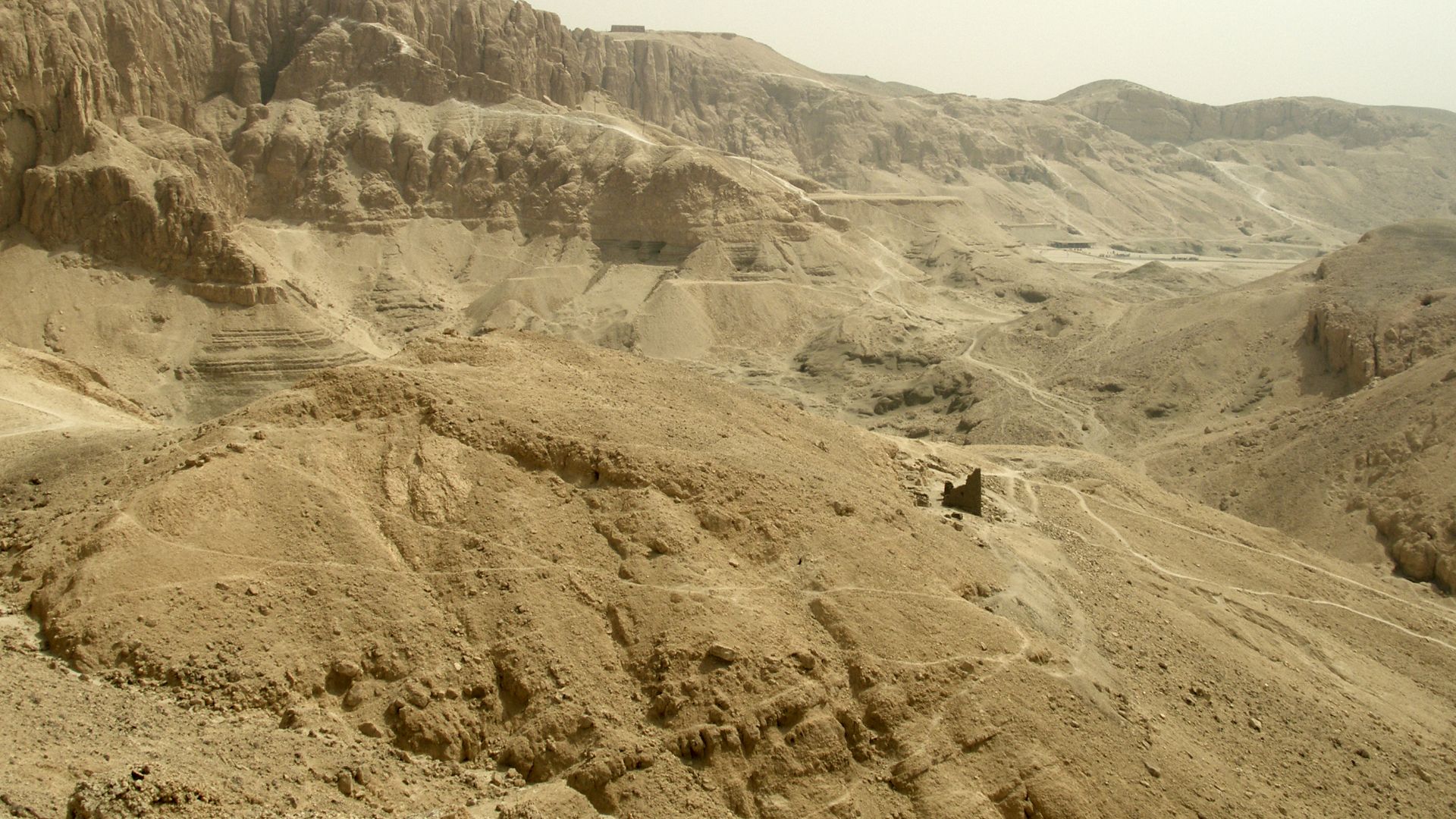
Karnak was not built in isolation. It rose from Thebes, ancient Egypt's religious heartland. Known to Egyptians as Waset, Thebes served as the empire's spiritual capital during the New Kingdom. Its prestige was so immense that Homer himself referenced it as a city of a hundred gates.
 Vyacheslav Argenberg, Wikimedia Commons
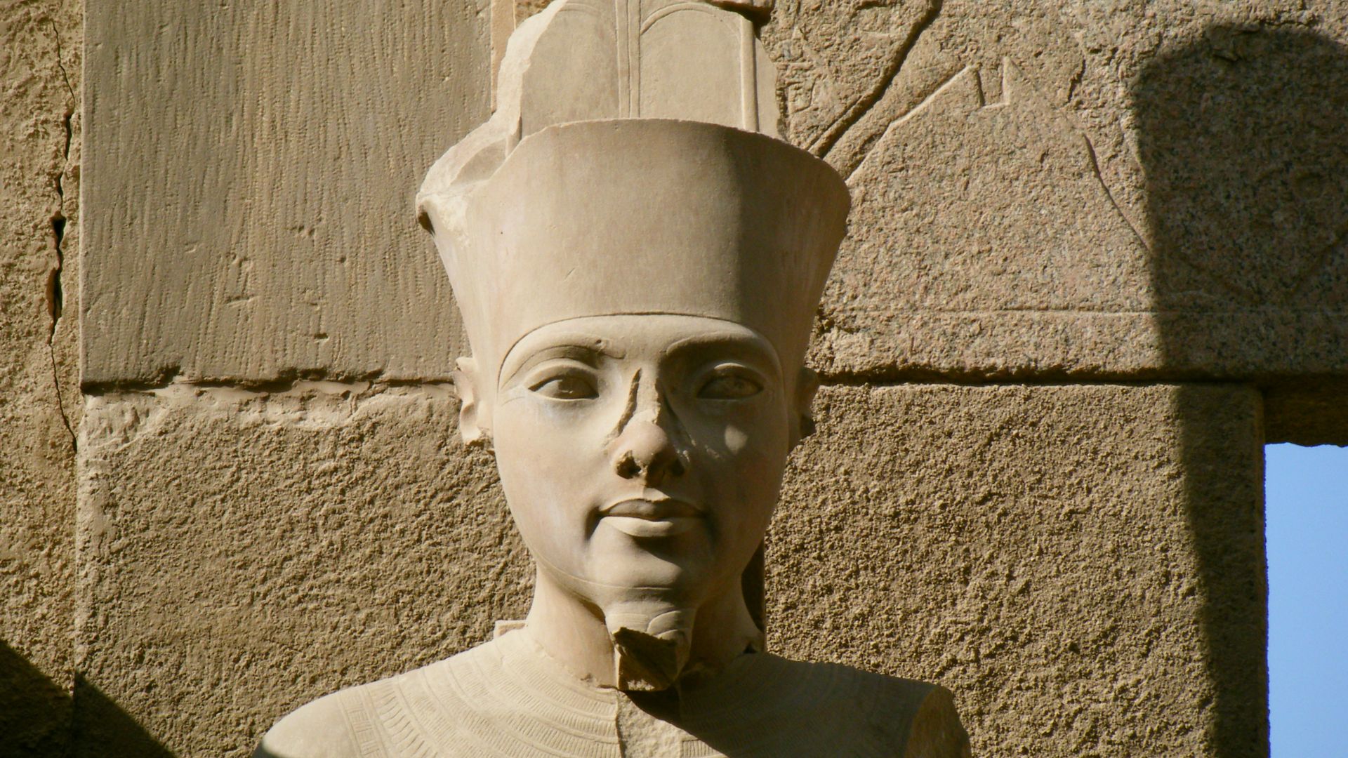
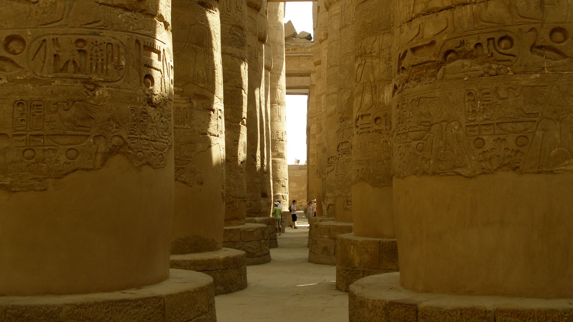
Amun-Ra's Temple
The god this temple was built for tells you everything. Amun-Ra was the merger of two powerful deities, Amun, the hidden one, and Ra, the sun god, forming Egypt's supreme creator deity. Karnak was literally his house on Earth, the epicenter of state religion for centuries.
 joepyrek from Richmond, Va, USA, Wikimedia Commons
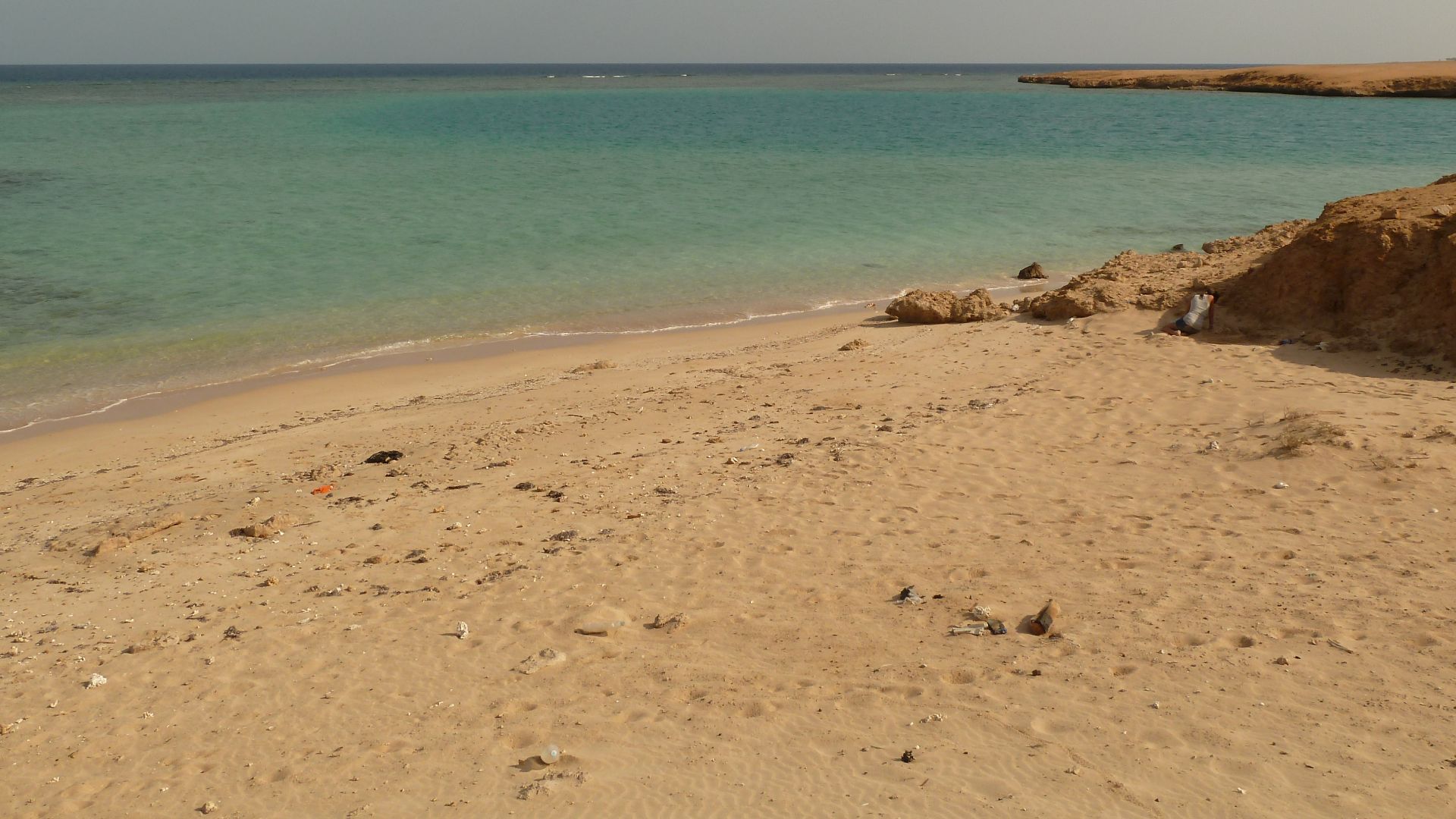
Before The Floods
Long before any temple stood here, this land was brutal and uninhabitable. Research shows that before approximately 2520 BCE, the Karnak area was routinely swamped by fast-moving Nile floodwaters. No permanent structure, no settlement, nothing could survive what the river unleashed across this terrain each year.
Impossible Settlement
Here's what makes Karnak's eventual rise so striking. The same land that became Egypt's greatest sacred complex was, for thousands of years, essentially unbuildable. Seasonal inundations made long-term occupation unthinkable until the Nile, almost on its own terms, began carving a very different landscape.
 Diego Delso, Wikimedia Commons
The Island Emerges
The turning point was geological. The Nile gradually cut channels to both the east and west of a central area, leaving behind a naturally elevated strip of stable land, essentially an island. This wasn't human engineering; it was the river itself creating the only buildable high ground in the region.
Elevated And Chosen
What made this island remarkable wasn't just its stability. It was the uniqueness. Researchers confirmed it was the only elevated area encircled by water in the entire region. That geographic rarity almost certainly caught the attention of Theban elites scanning the landscape for somewhere cosmologically significant to build.
 Warren LeMay from Chicago, IL, United States, Wikimedia Commons
First Footprints
The oldest confirmed human activity at Karnak dates to the Old Kingdom, roughly between 2591 and 2152 BCE. Ceramic fragments recovered from sediment cores place the earliest occupation between approximately 2305 and 1980 BCE. This pushes back the timeline of Karnak's beginnings further than many archaeologists had previously accepted.
 William James Muller, Wikimedia Commons
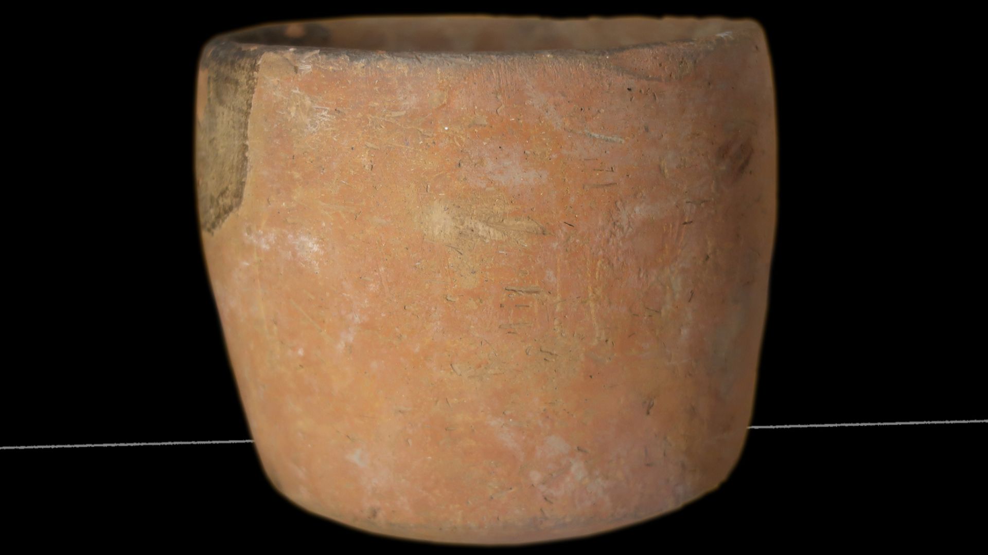
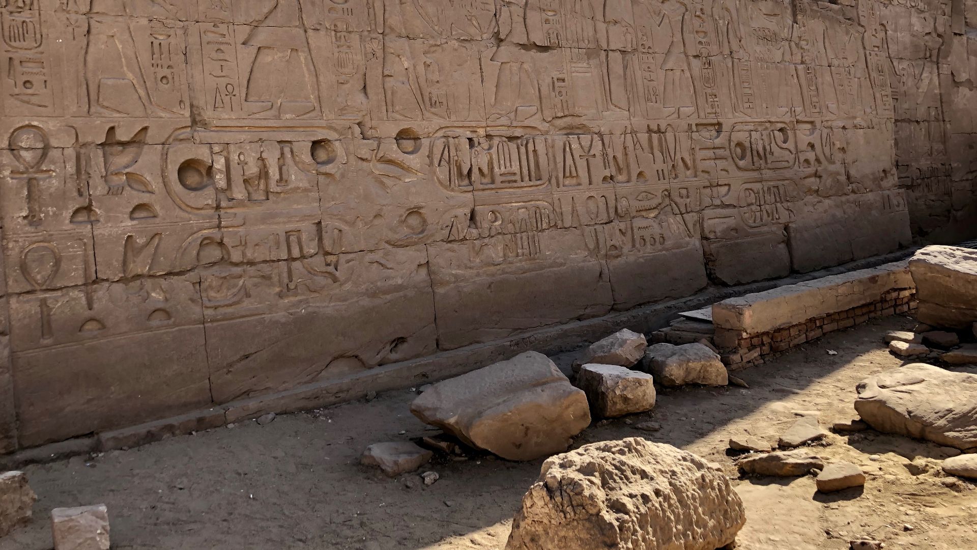
Pottery Speaks
Tens of thousands of ceramic fragments were analyzed as part of the 2025 geoarchaeological study published in Antiquity. These shards were dating tools. Embedded within sediment layers, they allowed researchers to pin down when human activity began and how the site evolved across time.
 Ismoon (talk) 16:07, 11 August 2020 (UTC), Wikimedia Commons
Sediment Cores
The backbone of this entire investigation was 61 sediment cores drilled from across and around the Karnak complex. Led by Dr Ben Pennington of the University of Southampton and Dr Angus Graham of Uppsala University, this represented the most detailed geoarchaeological study ever conducted at the site.
 Warren LeMay from Chicago, IL, United States, Wikimedia Commons
61 Samples
61 cores doesn't sound dramatic until you understand what each one contained. Every sample was a vertical slice through centuries of accumulated earth, sediment, and debris. Analyzed together, they built a timeline of how Karnak's physical landscape transformed layer by layer.
 Vyacheslav Argenberg, Wikimedia Commons
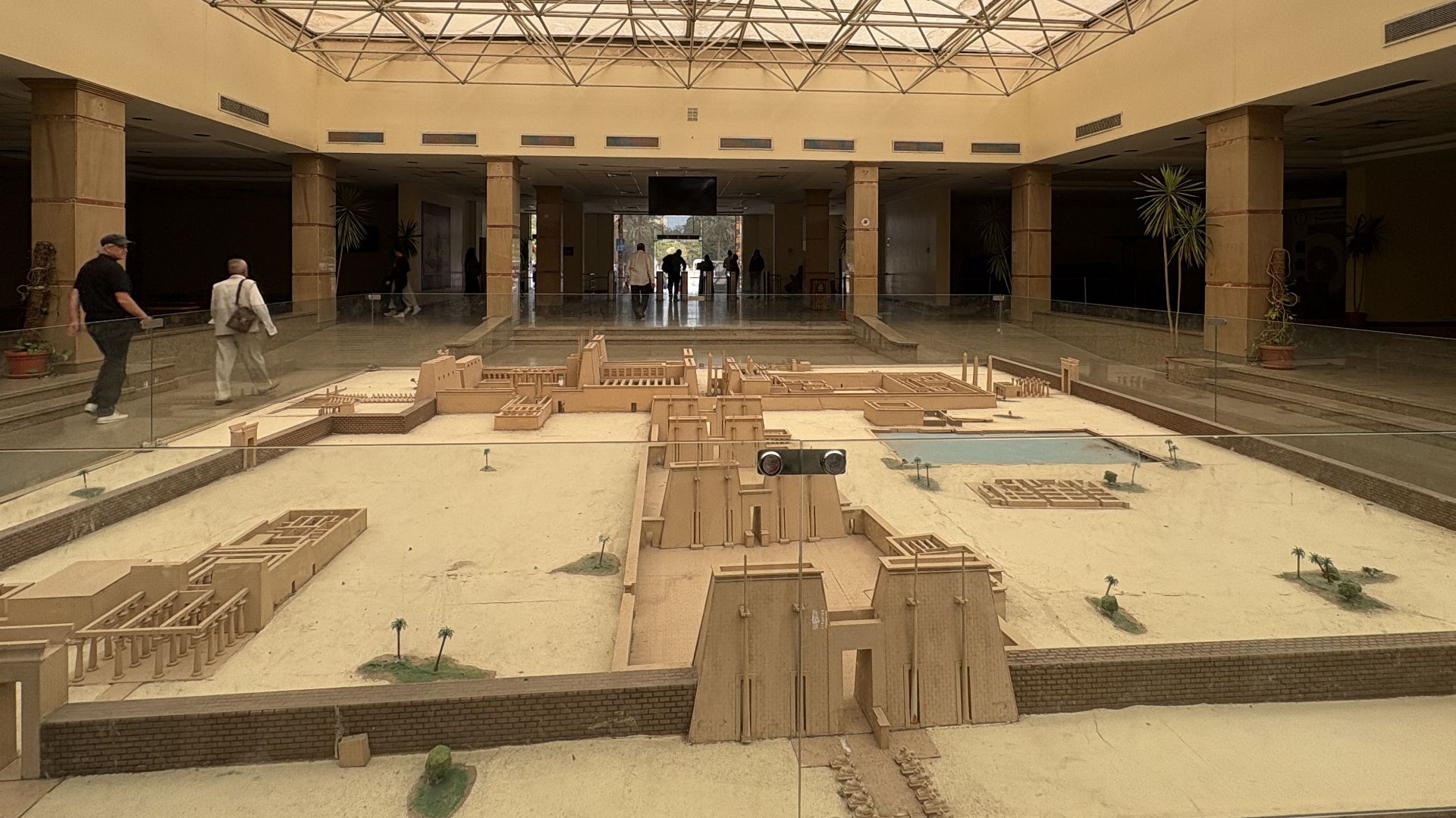
Mapping The Landscape
The research team reconstructed an entire ancient geography. By tracking how sediment composition changed across the site, researchers could identify where water once flowed, where land was stable, and importantly, where the earliest builders found their footing. It was cartography reaching back three millennia without a single old map.
 Ahmed Bahloul Khier Galal, Wikimedia Commons
Two Channels
The Nile shaped Karnak with two strokes. Researchers identified distinct channels running along both the eastern and western flanks of the site. These weren't tributaries in the traditional sense; they were the river's own shifting arms, gradually isolating the central landmass.
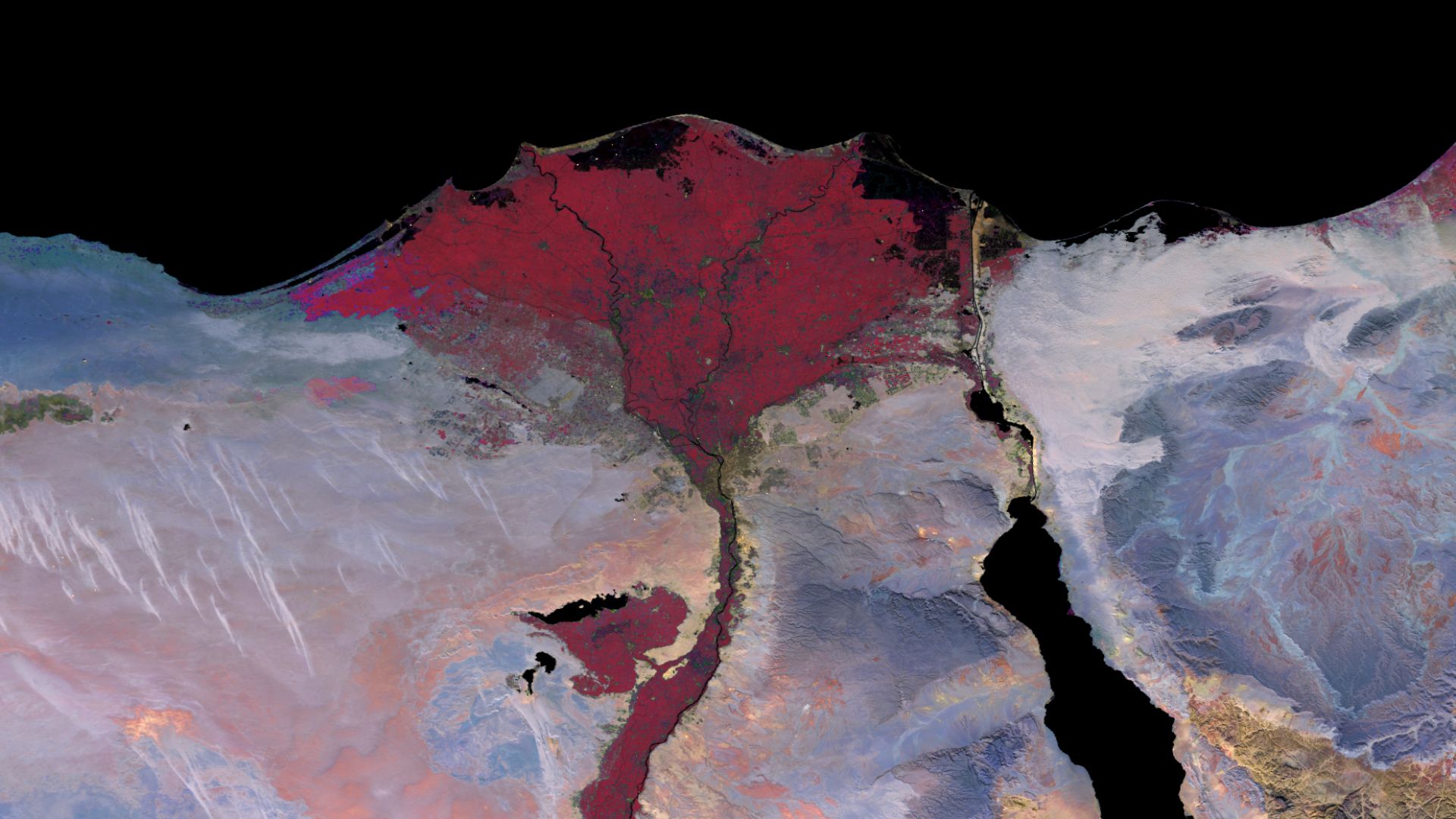
The Eastern Secret
For years, archaeological focus at Karnak leaned heavily on the western channel. The 2025 study flipped that assumption. Researchers found that the eastern channel was actually more clearly defined and possibly larger than its western counterpart. It had been hiding in plain sight.
 Warren LeMay from Chicago, IL, United States, Wikimedia Commons
Desert Fills River
One of the study's most quietly remarkable findings was evidence of deliberate landscape manipulation. Ancient Egyptians appear to have dumped desert sands directly into river channels intentionally accelerating the silting process to create new buildable land. This was an active, calculated reshaping of the riverine environment.
 Jacek Lesniowski, Wikimedia Commons
Egyptians Reshape Nature
The scale of that intervention matters as they represent one of the earliest documented examples of Egyptians engineering their own sacred geography. By redirecting sediment flow and filling channels strategically, builders effectively expanded the island's footprint, opening new ground for what would become one of antiquity's largest religious complexes.
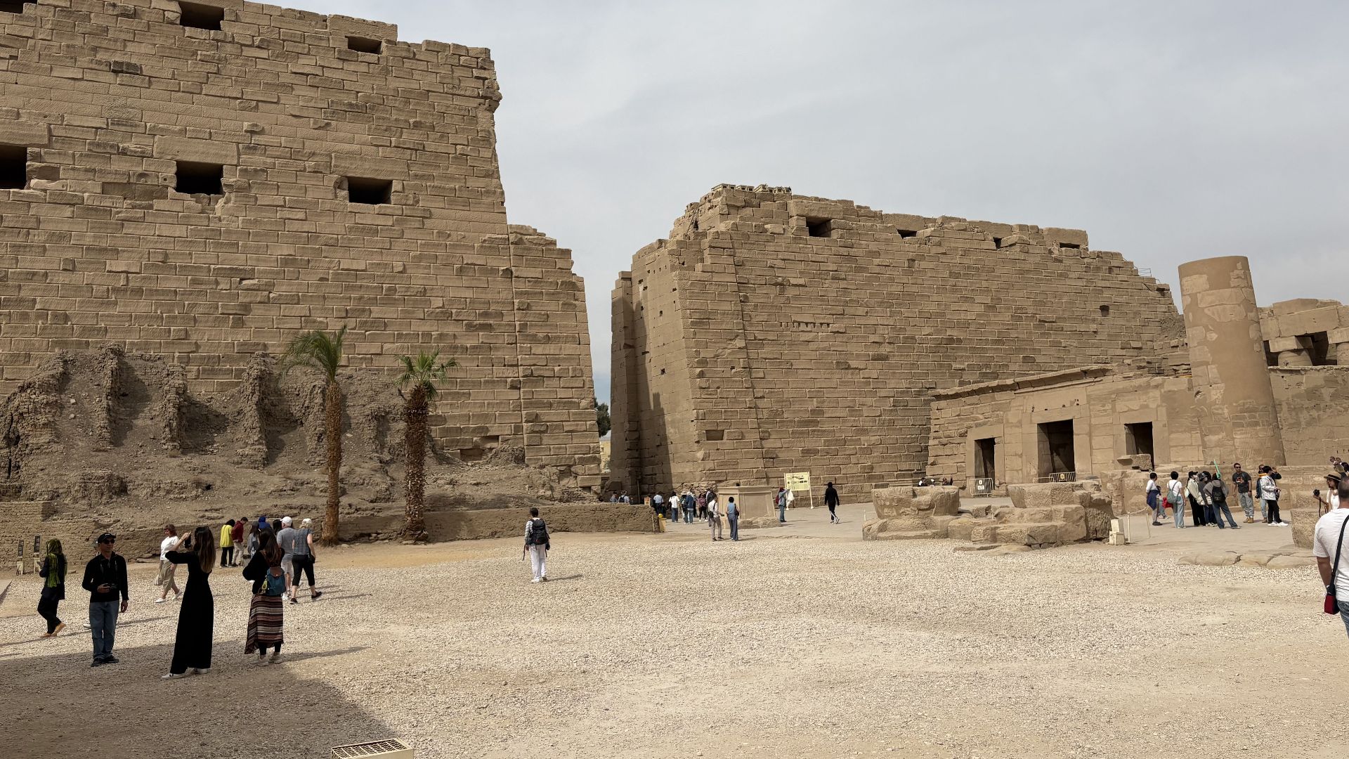
Temple Expands
As channels silted up over generations, Karnak grew with them. New construction followed the retreating water, with each new structure built directly atop former riverbeds. Co-author Dominic Barker noted that the river channels “shaped how the temple could develop and where”.
 Warren LeMay from Chicago, IL, United States, Wikimedia Commons
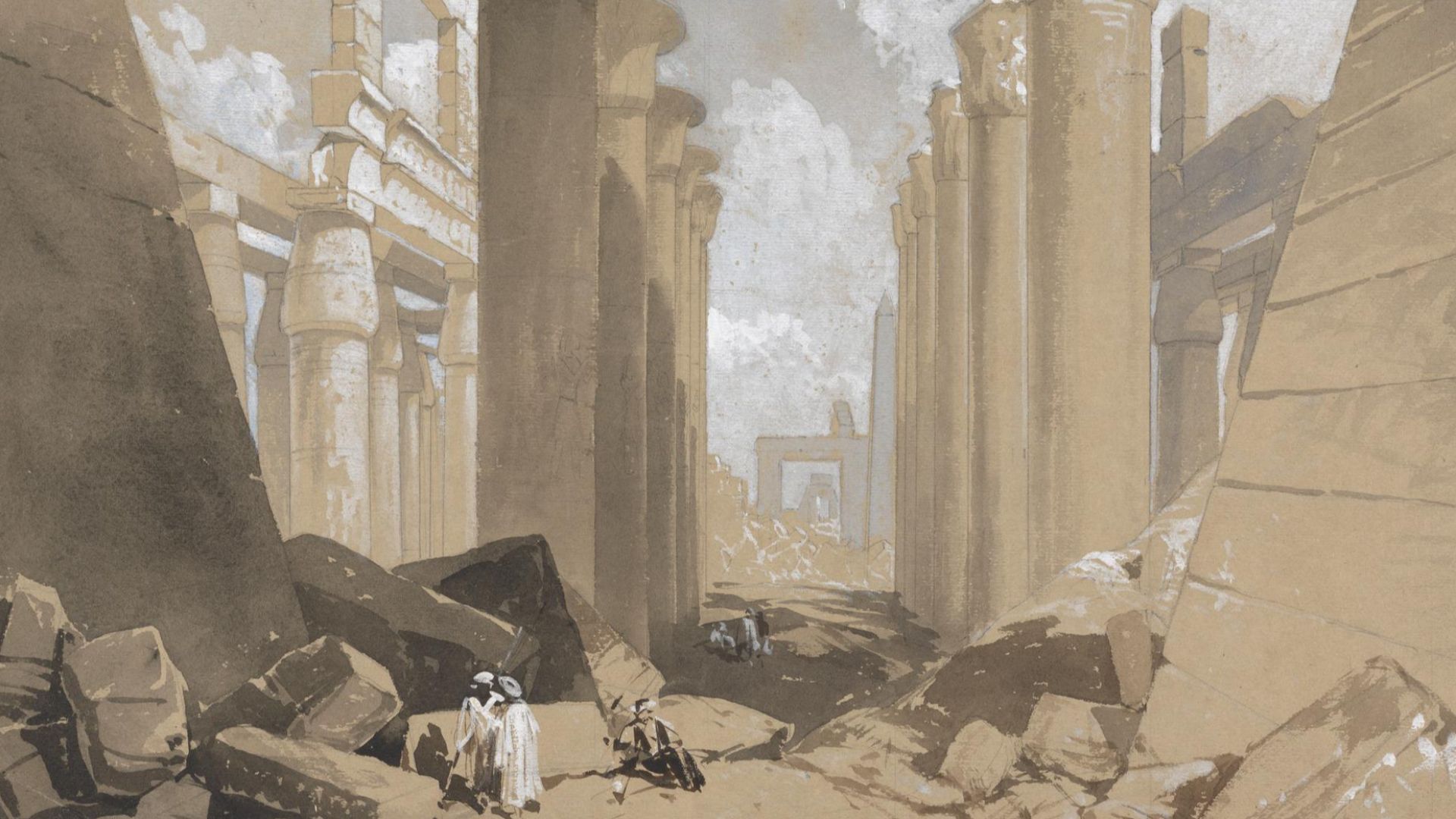
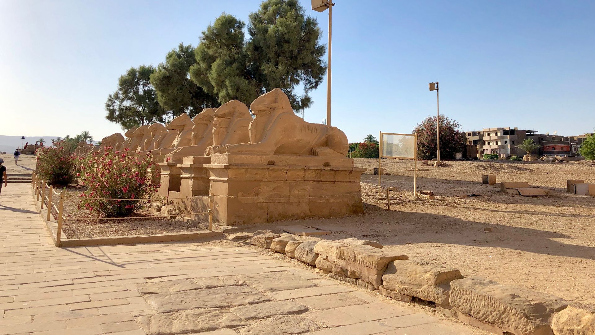
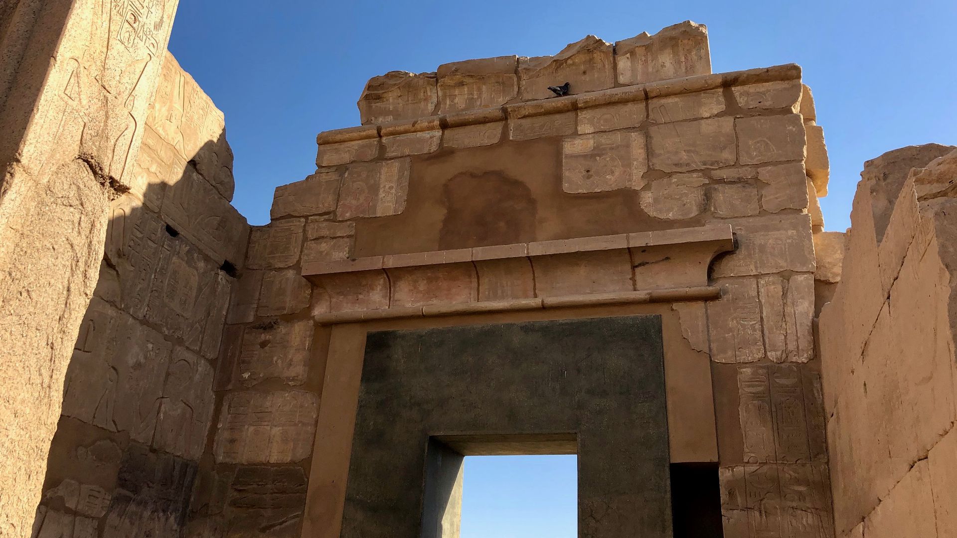
Three Millennia
Karnak's construction was a civilization's ongoing conversation with the divine. Building continued across roughly 3,000 years, from the Middle Kingdom through the Ptolemaic period. Dozens of pharaohs left their mark here, each adding pylons, obelisks, sanctuaries, and halls to a complex that never truly considered itself finished.
 Warren LeMay from Chicago, IL, United States, Wikimedia Commons
Creation Myth
Here's where geology and theology collide beautifully. Old Kingdom texts describe the creator god emerging from a mound of high ground surrounded by water—the benben, or primeval mound. The island researchers identified beneath Karnak matches this scene with striking precision.
 Unknown authorUnknown author, Wikimedia Commons
Primeval Mound
Middle Kingdom texts, dating roughly to 1980–1760 BCE, elaborated this idea further, describing the primeval mound rising from the "Waters of Chaos”. Each year when the Nile flood receded, Karnak's elevated ground would literally appear to rise from the water.
 Wouter Hagens, Wikimedia Commons
Ra-Amun's Arrival
Dr Ben Pennington put it carefully but compellingly: "It's tempting to suggest the Theban elites chose Karnak's location for the dwelling place of a new form of the creator god, Ra-Amun, as it fitted the cosmogonical scene of high ground emerging from surrounding water”.
Flood As Theater
Every single year, the Nile's annual inundation turned Karnak into a spectacle. As floodwaters rose and then slowly pulled back, the temple's elevated mound would dramatically re-emerge from the receding waters. For ancient Egyptians who may have been watching from the banks, this wasn't coincidence. It was confirmation.
 Hedwig Storch, Wikimedia Commons
Theban Elites Knew
This discovery reframes the people who built Karnak entirely. They weren't simply powerful administrators commissioning grand architecture, but sophisticated thinkers who read the environment theologically and chose it with intention. Selecting this specific island, mirroring their own creation texts, was a deliberate, cosmologically literate act of profound cultural intelligence.
 Vyacheslav Argenberg, Wikimedia Commons
What This Means
The 2025 study, published in Antiquity by an international team from Uppsala University, the University of Southampton, and collaborating institutions, delivers something rare in archaeology—a genuinely revised origin story. Karnak's earliest occupation is now pushed back further and its relationship with the Nile recast from coincidental to deeply, deliberately symbolic.


.jpg)