Oregon’s Volcanic Glass Road
Long before highways, rail lines, or shipping apps, people in the Pacific Northwest had their own delivery network—and one of its flashiest products was obsidian. Sharp, glossy, and born in volcanoes, this natural glass traveled far from Oregon quarries, turning up in tools that now help archaeologists trace ancient trade routes across mountains, valleys, and river systems.
The Tool That Tells A Story
An obsidian blade or projectile point might look like a small black shard, but to archaeologists it can read like a postcard. Its chemistry reveals where it came from. Its shape hints at how it was made. Its resting place shows where it ended up. Together, these clues turn a tool into a tiny travel diary.
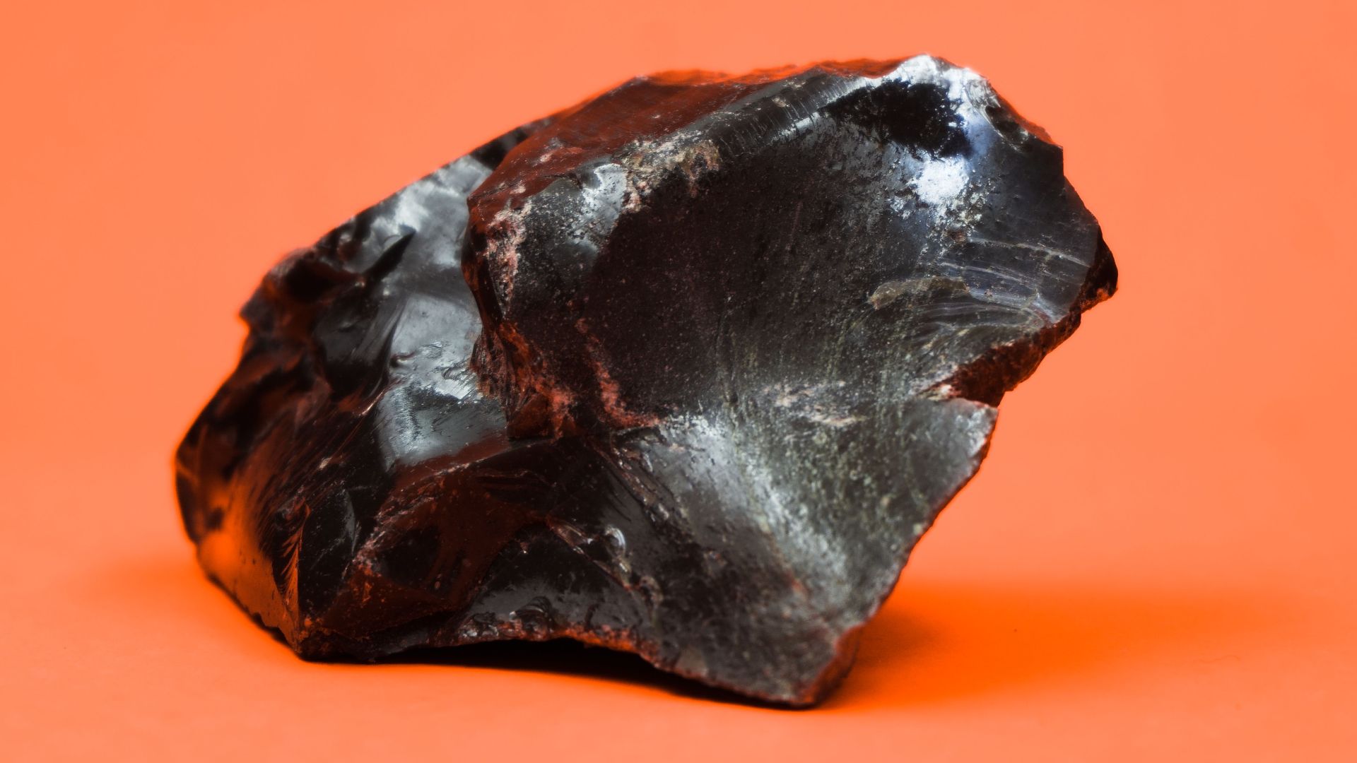
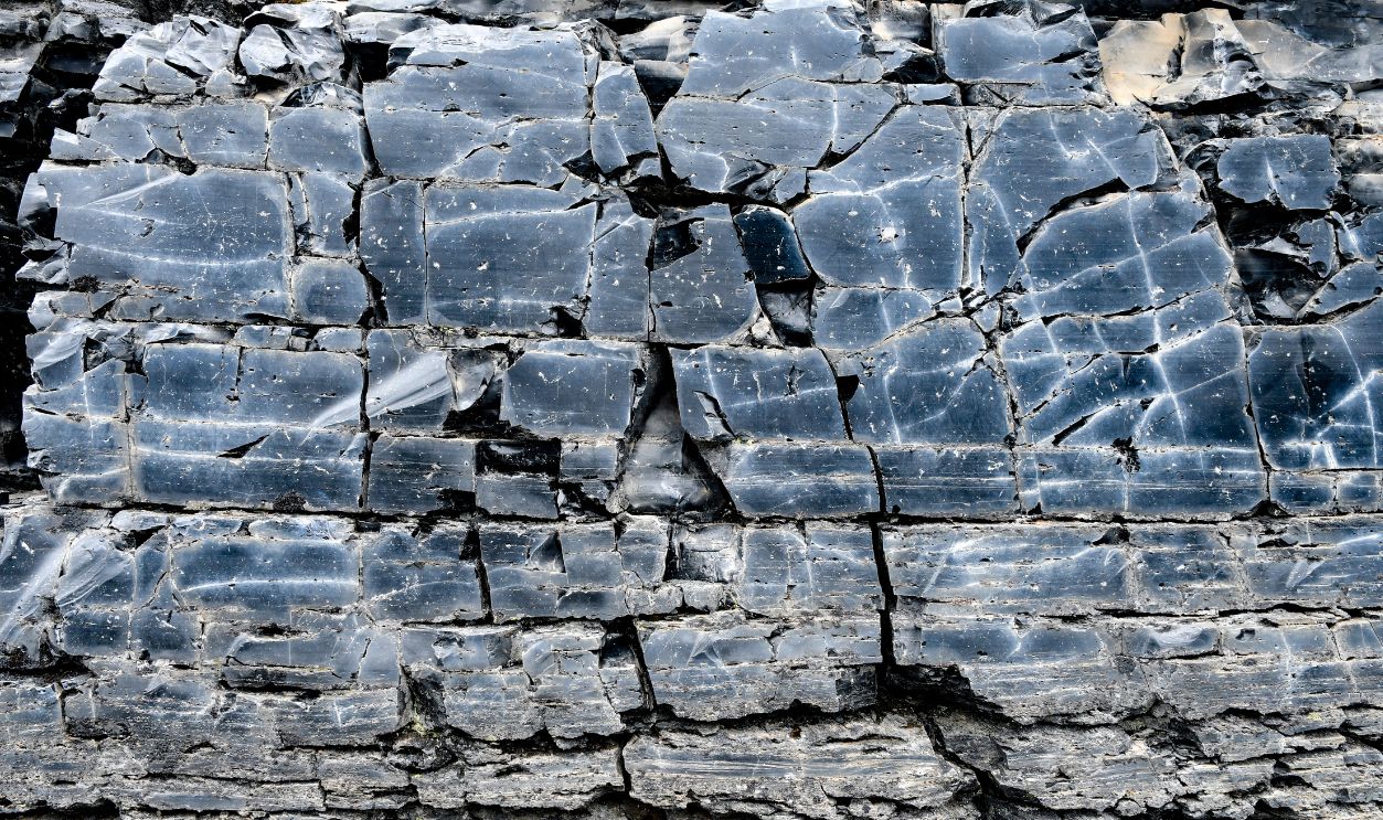
Why Obsidian Was So Irresistible
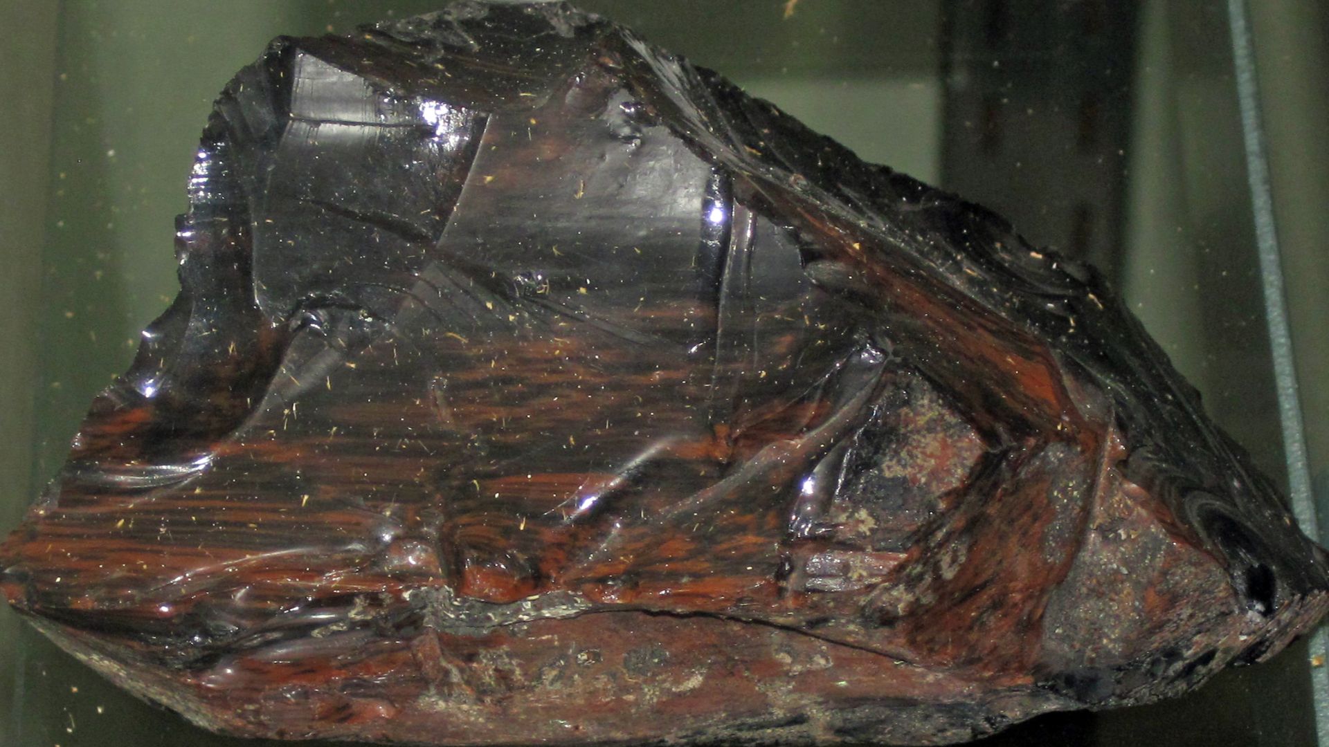
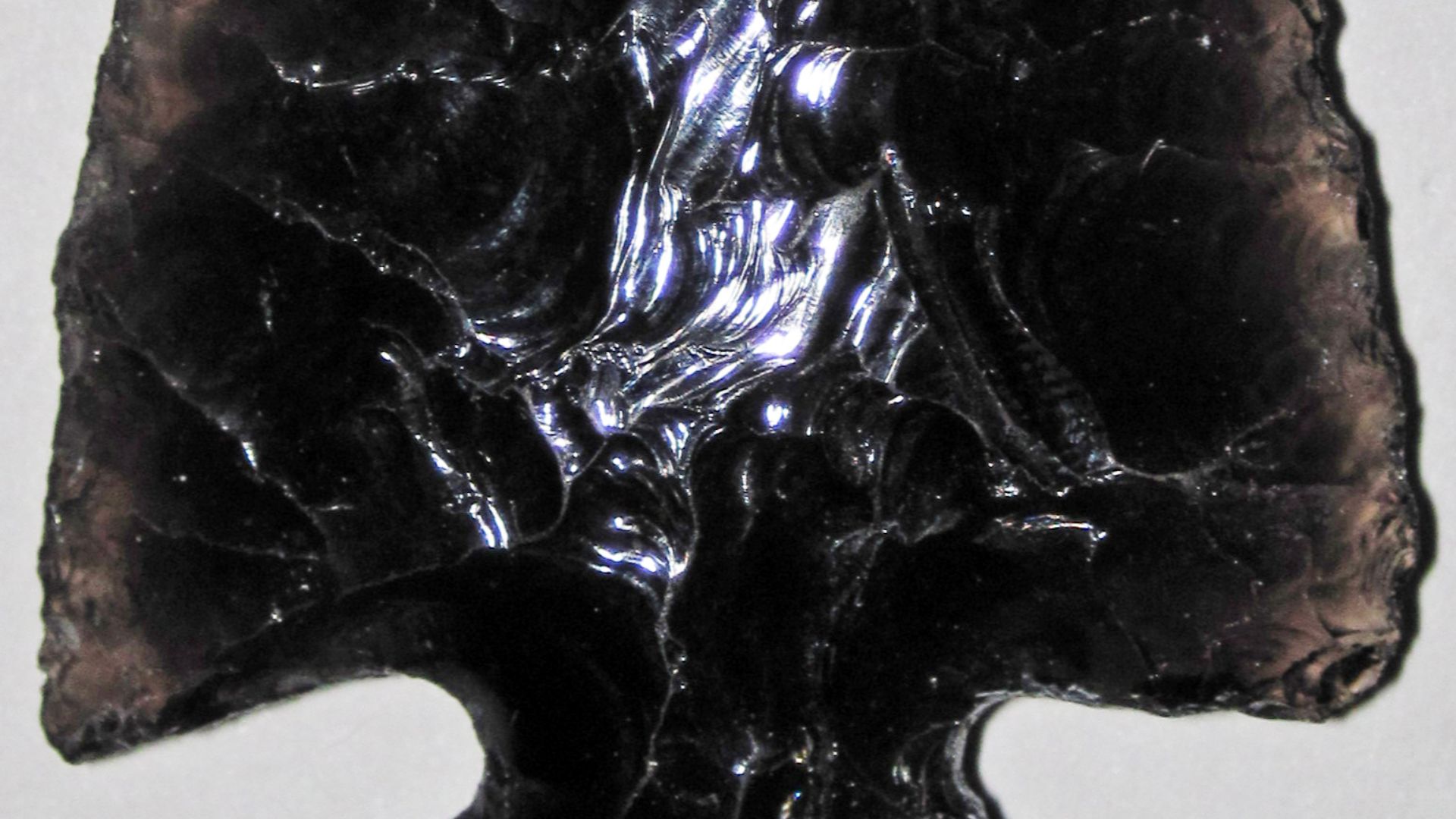
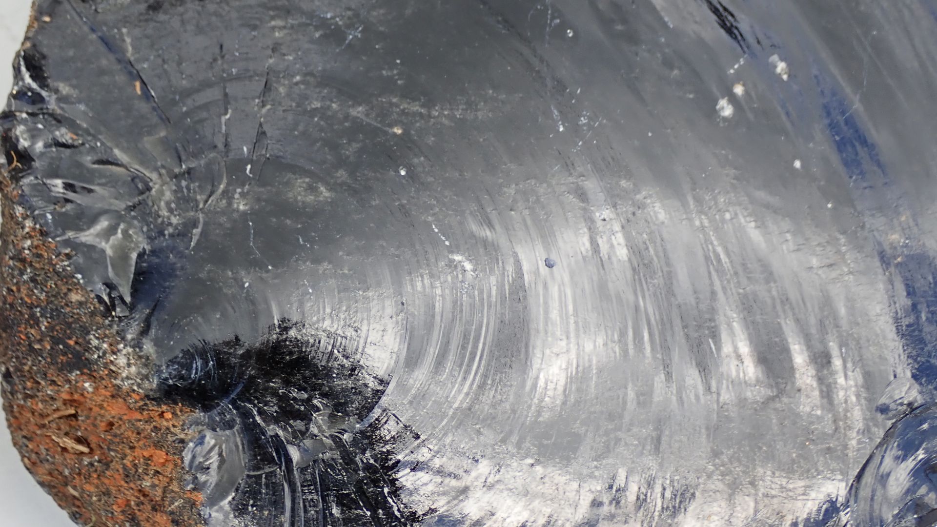
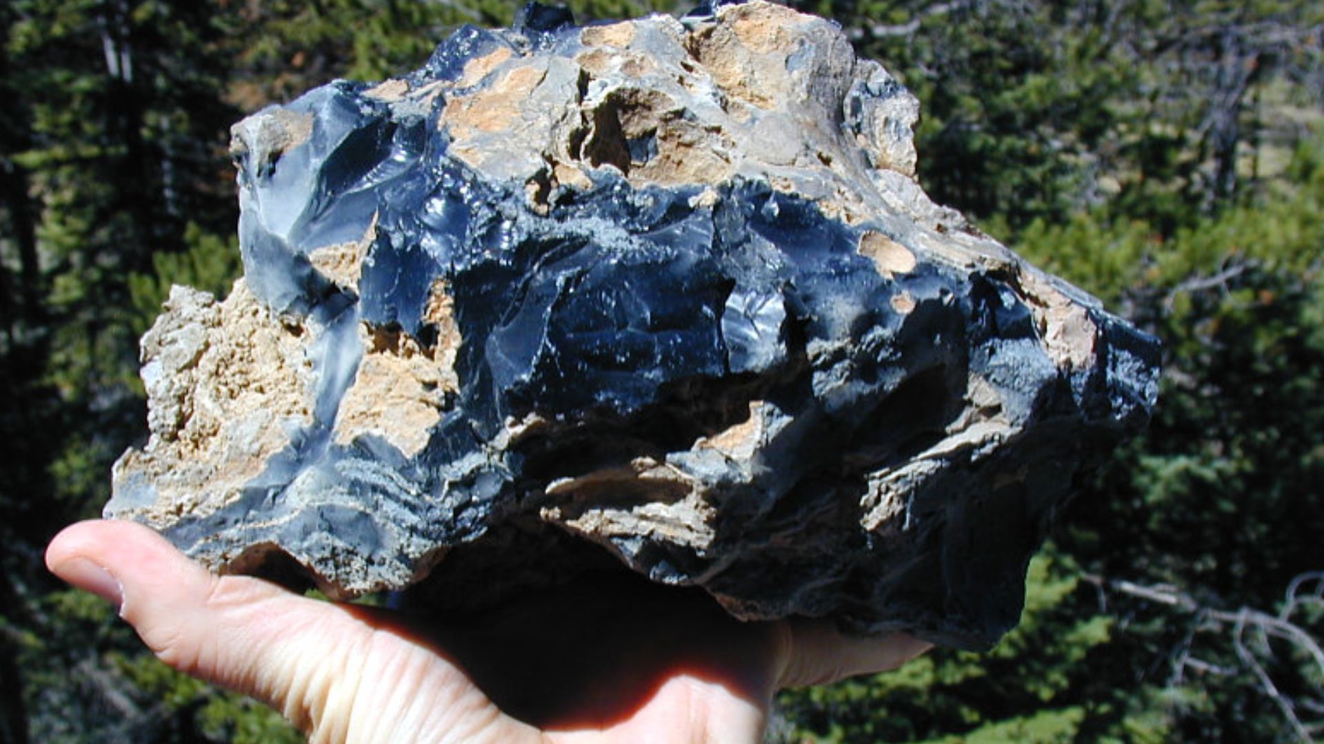
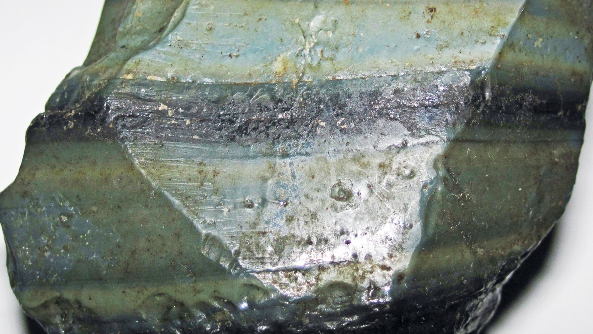
Obsidian was the superstar toolstone of the ancient world. It fractures into edges so sharp they can look almost unreal, making it excellent for cutting, scraping, piercing, and shaping. But it was not just practical. A well-made obsidian tool also had visual drama: glossy, dark, sometimes translucent, and unmistakably special.
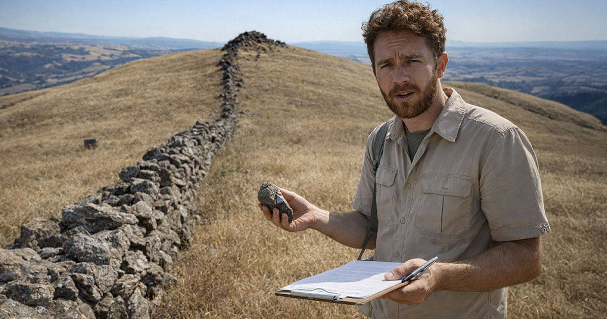
Oregon Had The Good Stuff
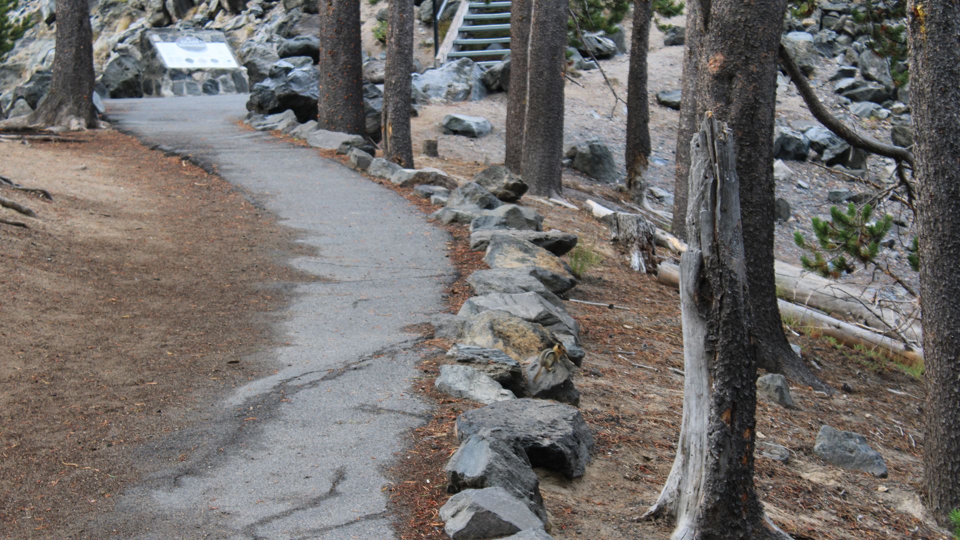
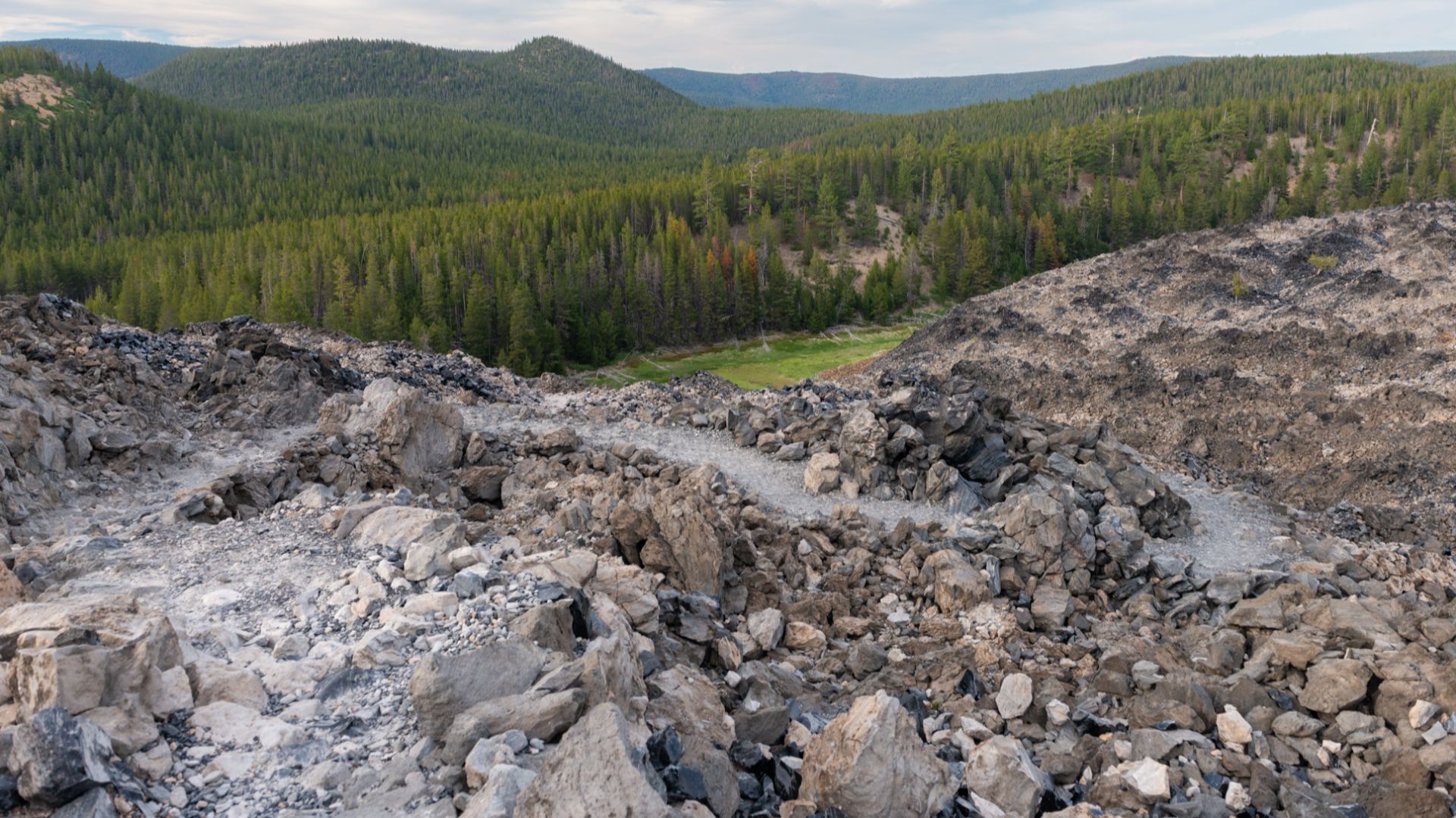
Oregon sits on a volcanic jackpot. Sources such as Newberry Volcano, Obsidian Cliffs, Glass Buttes, and Whitewater Ridge produced material valued by ancient toolmakers. These were not random rock piles. Some became important quarry zones where people returned again and again to collect, shape, and prepare obsidian for use or exchange.
 Q Myers, en:User:QDM, Wikimedia Commons
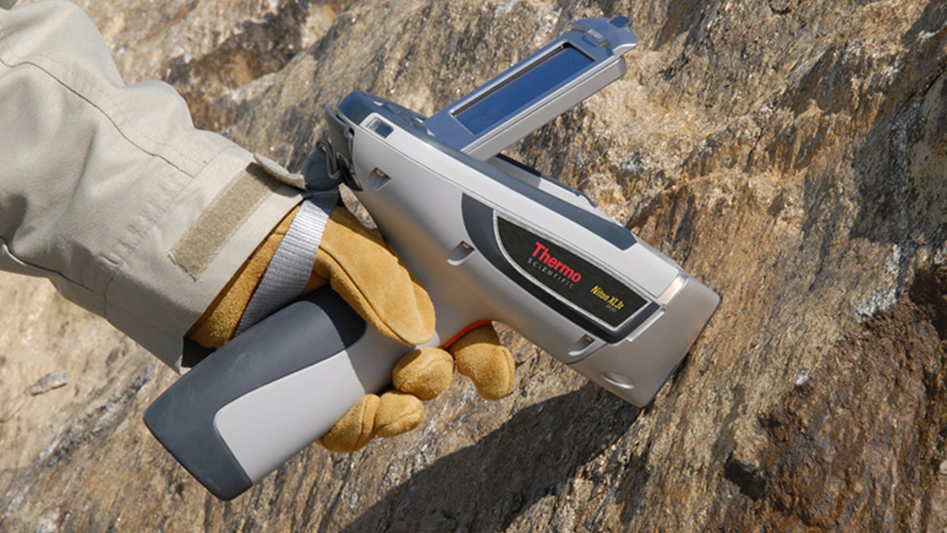
The Magic Of Chemical Fingerprinting
Here is where the science gets delightfully detective-like. Obsidian from different volcanic sources has different trace elements. Using methods such as x-ray fluorescence, researchers can compare an artifact’s chemistry to known source samples. It is a bit like matching a glittering suspect to its volcanic hometown.
 Thermo Scientific™, Wikimedia Commons
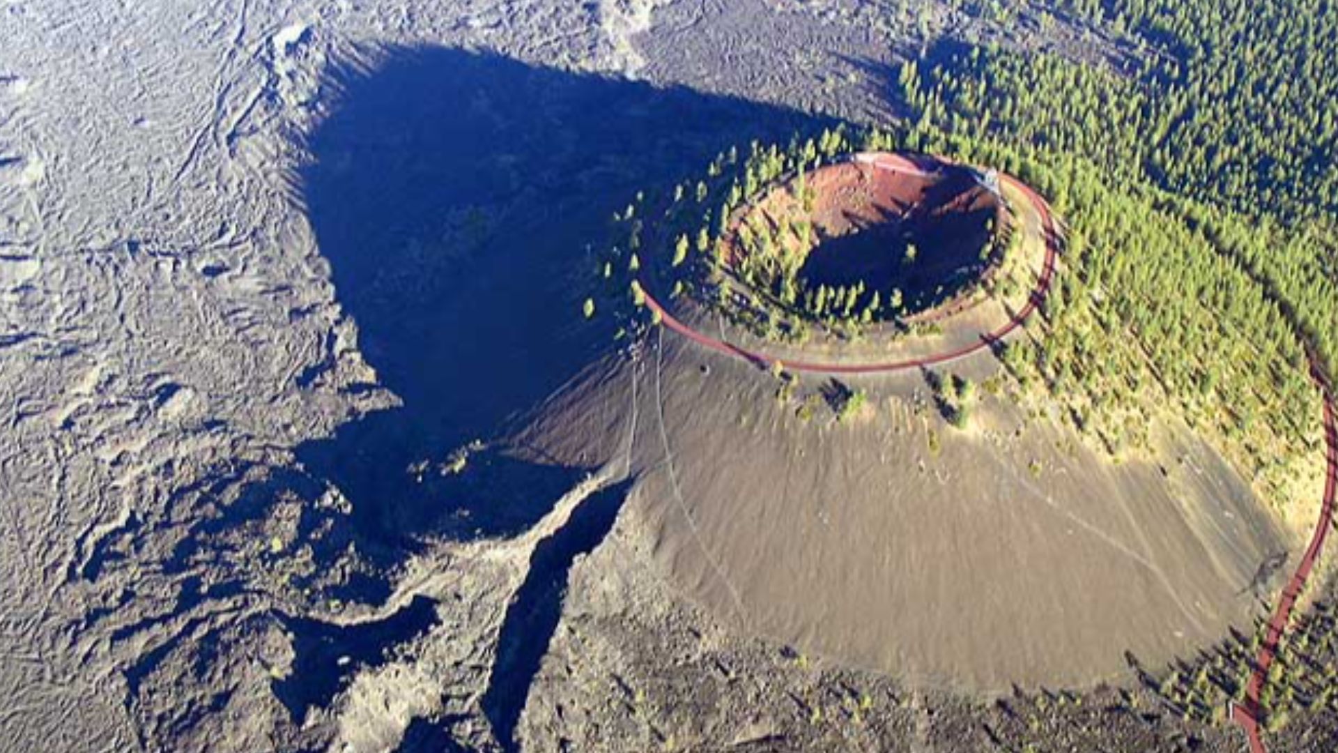
Newberry Volcano Enters The Chat
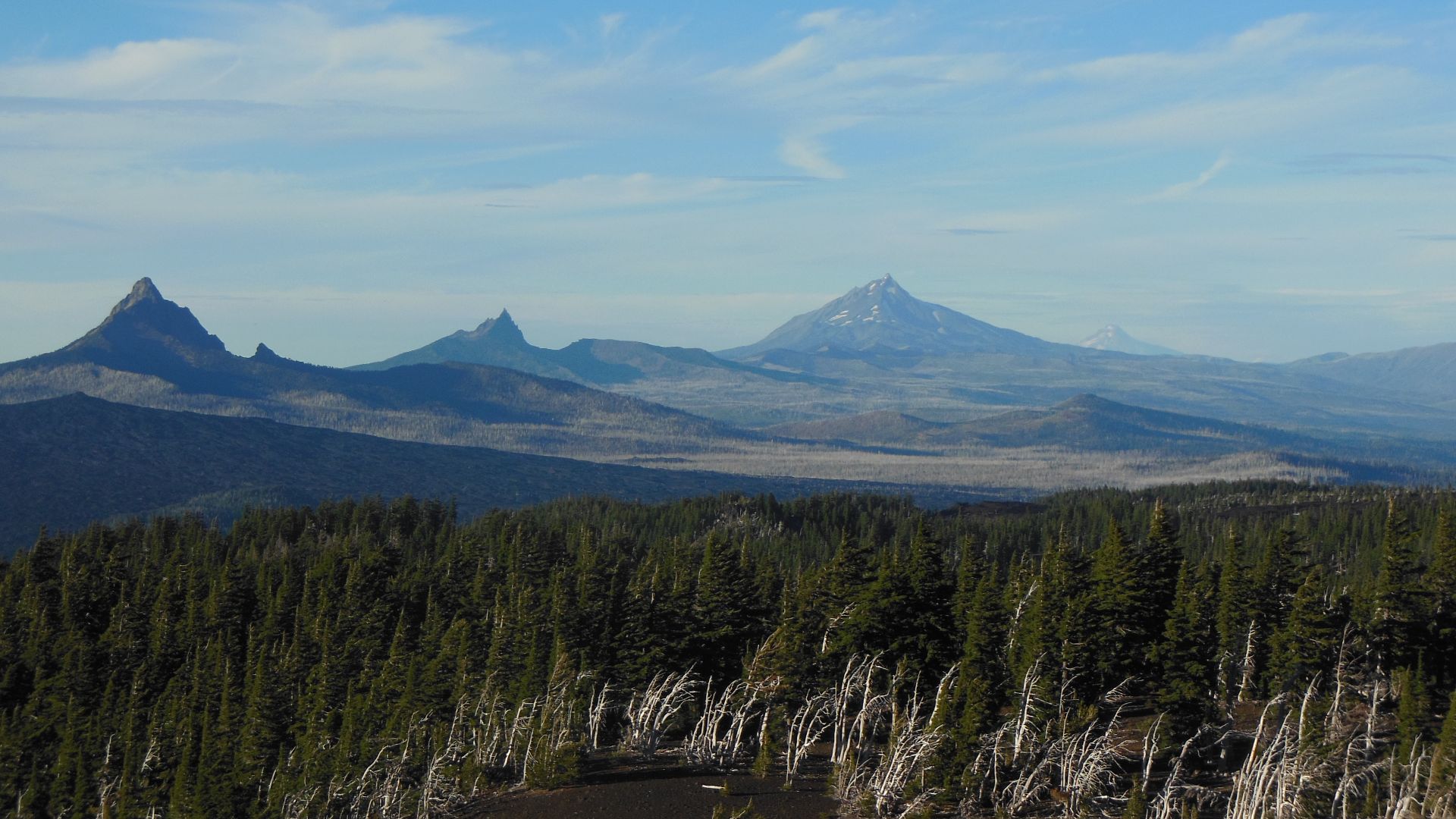
Newberry Volcano in central Oregon was one of the major sources in this story. Archaeological studies show that obsidian from Newberry traveled especially northward through the Deschutes River basin. From there, it could enter larger exchange systems connected to the Columbia Plateau and beyond.
 USGS photo by Lyn Topinka, Wikimedia Commons
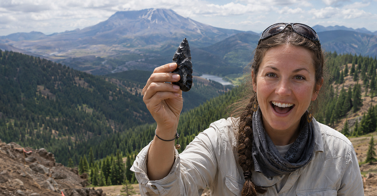
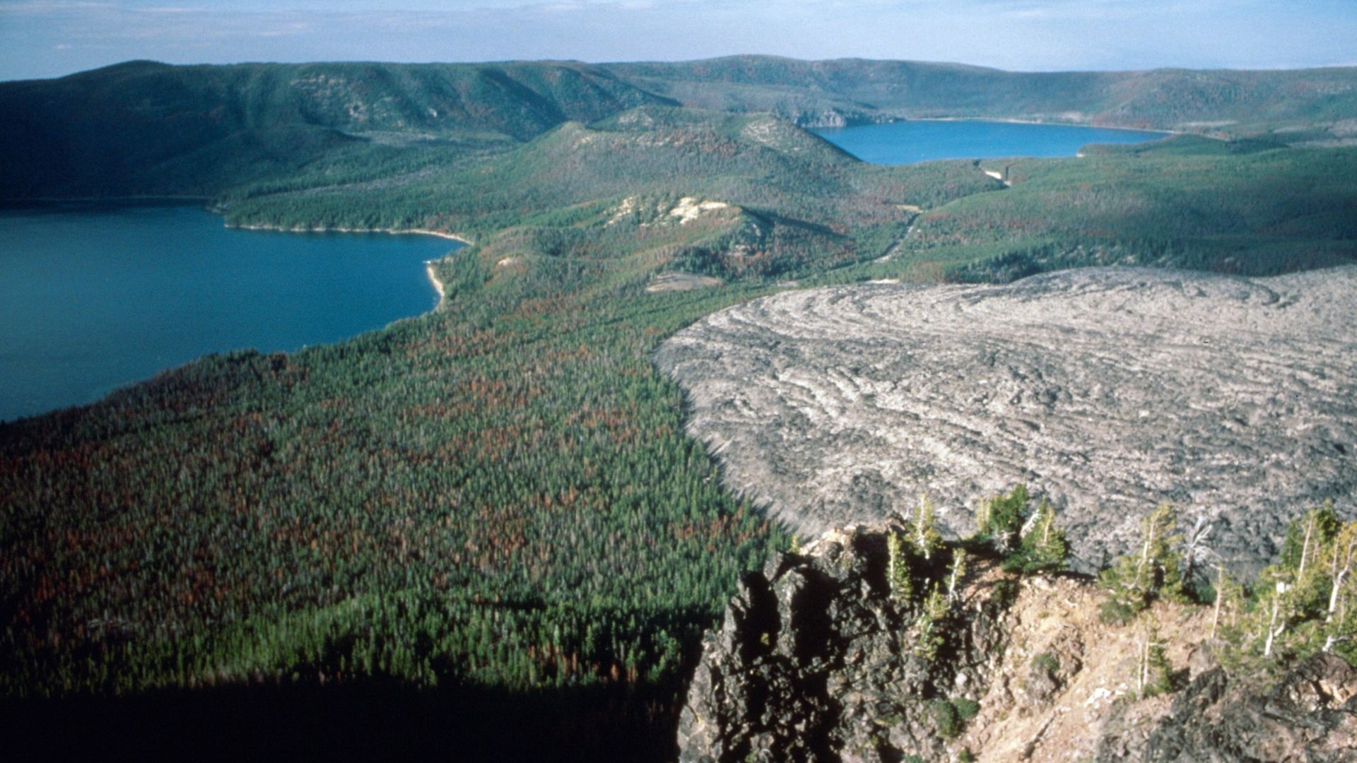
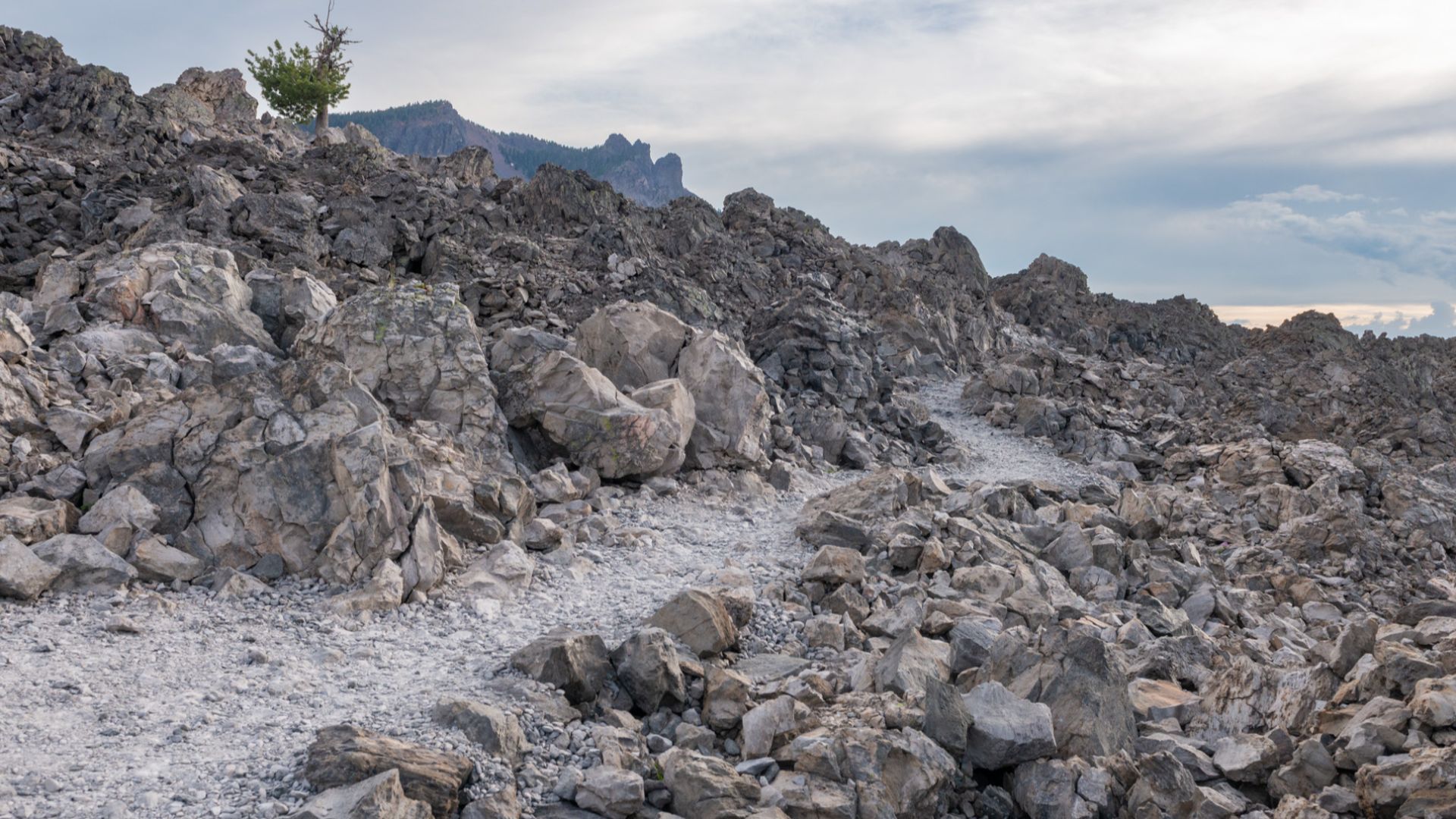
Obsidian Cliffs Steps Into The Spotlight
Obsidian Cliffs, near the Three Sisters area of the Oregon Cascades, was another heavyweight source. Artifacts made from this material have been found across western and central Oregon, as well as farther north. Its spread suggests not just casual wandering, but repeated movement along recognizable corridors.
Not Just A Few Lost Rocks
The evidence is not based on one oddball artifact found far from home. Researchers have examined hundreds of sites and thousands of sourced obsidian pieces. When patterns repeat across that much data, a bigger picture emerges: obsidian was moving through established social and economic networks.
 Chris Light, Wikimedia Commons
The Cascades Were A Corridor
The Cascade Range may look like a barrier on a map, but for experienced travelers, it also offered routes. Obsidian Cliffs material appears to have moved north along the Cascade spine and westward into the Willamette Valley. Mountain trails, river drainages, and seasonal movement all likely played a part.
Rivers Were Prehistoric Highways
In the Pacific Northwest, rivers did more than carry salmon. They carried people, ideas, stories, goods, and tools. The McKenzie, Santiam, Clackamas, Deschutes, Willamette, Columbia, and Fraser systems all matter in this story. Follow the water, and the obsidian trail starts to make sense.

The Willamette Valley Connection
The Willamette Valley was not sitting quietly on the sidelines. Obsidian studies show that communities there participated in wider exchange networks. Some obsidian came from nearby or secondary deposits, but other pieces point to broader regional movement and long-distance connections.
 Sheila Sund from Salem, United States, Wikimedia Commons
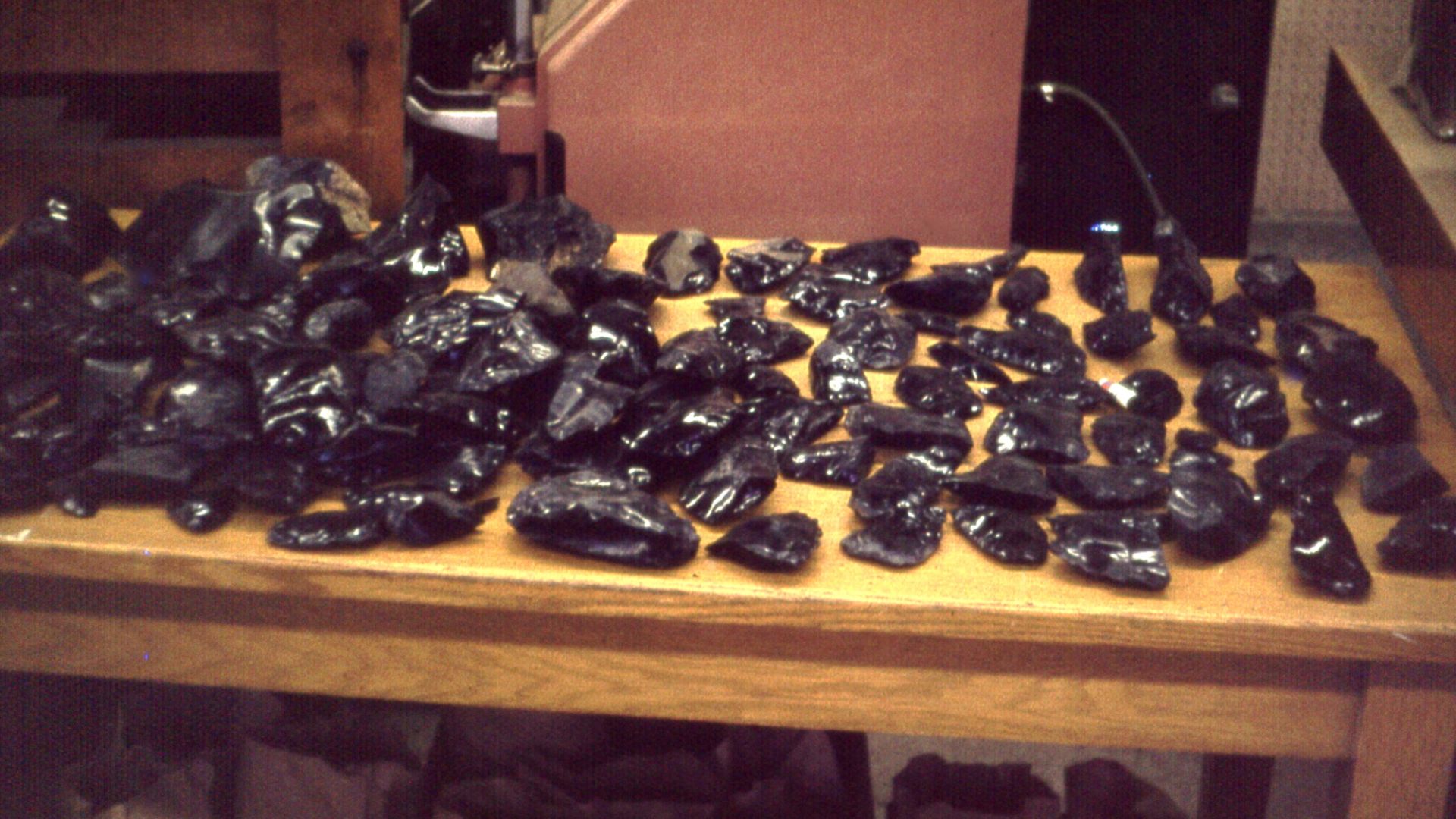
A Commodity, Not Just A Convenience
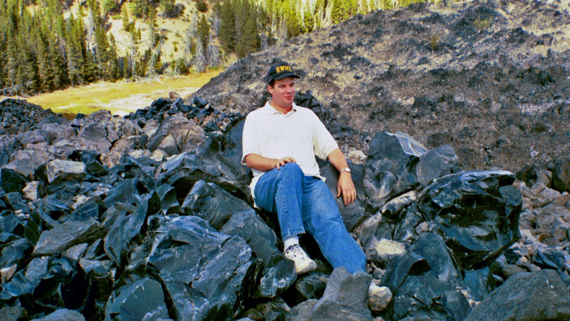
One of the most exciting interpretations is that some Oregon obsidian was not simply picked up during everyday travel. At places such as Newberry and Obsidian Cliffs, evidence suggests systematic quarrying and shaping. In other words, people were producing transportable forms that could move efficiently through exchange networks.
 James St. John, Wikimedia Commons
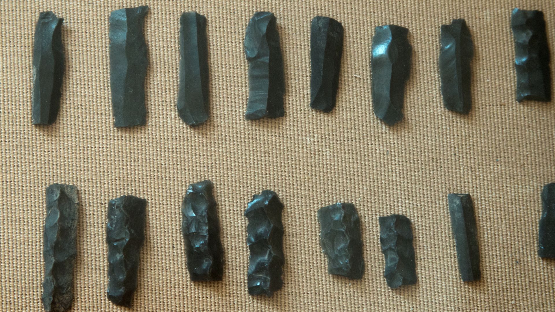
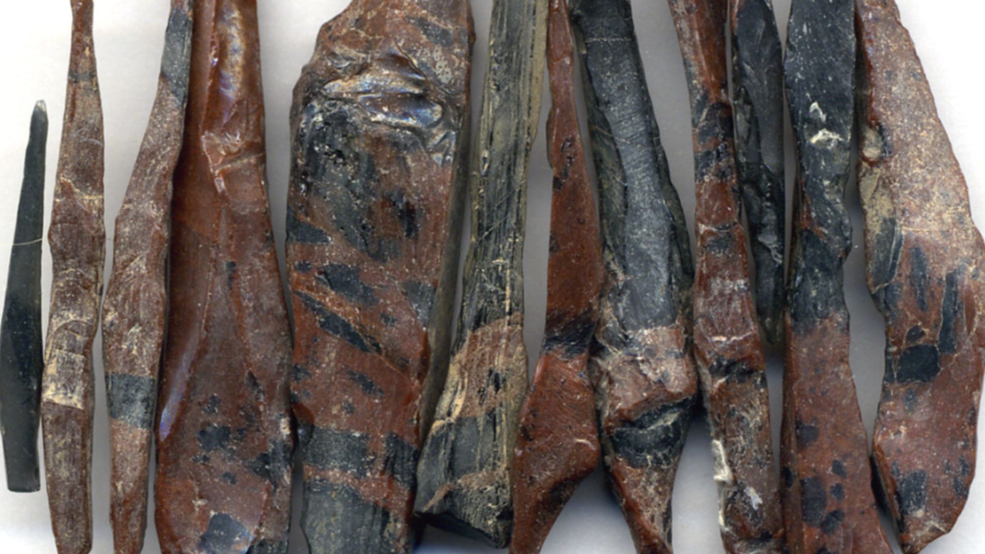
Biface Blanks: The Ancient Flat-Pack
Think of biface blanks as prehistoric “almost-tools.” They were shaped enough to be portable and useful, but still flexible for later finishing. This made them perfect for transport. Instead of hauling raw chunks, people could carry prepared pieces that another craftsperson could turn into finished tools.
 John Atherton, Wikimedia Commons
Trade Does Not Always Mean Money
When archaeologists say “trade,” they are not necessarily imagining marketplaces with price tags. Exchange could include gift-giving, marriage ties, seasonal gatherings, ritual obligations, partnerships, and diplomacy. Obsidian moved because people moved—and because relationships moved goods from hand to hand.
 James St. John, Wikimedia Commons
The Dalles And The Big River World
The Columbia River corridor was one of the great connective zones of the Northwest. Major gathering and trading places near The Dalles helped link Plateau, coastal, and interior communities. Obsidian moving north from Oregon sources fits neatly into this world of river travel and regional exchange.
 Peteforsyth, Wikimedia Commons
Northward, Northward, Northward
A striking pattern in the data is the northward movement of several Oregon obsidian sources. Newberry and Obsidian Cliffs materials often appear to have traveled toward the Columbia River, Puget Sound, and even British Columbia. The tools were small, but the network was anything but.
British Columbia Gets Oregon Glass
Researchers studying obsidian in British Columbia have identified Oregon sources among traced artifacts. That matters because it shows the network extended far beyond local procurement zones. A piece of volcanic glass born in Oregon could end up hundreds of miles away, carried through chains of exchange.

What The Tools Say About People
The tools tell us that prehistoric communities were not isolated dots on a map. They were connected, informed, mobile, and socially sophisticated. People knew where valuable materials came from. They knew who had access. They knew the routes, seasons, and relationships that made exchange possible.
 James St. John, Wikimedia Commons
Ancient Maps Without Paper
No one needed a paper map to understand this landscape. Knowledge lived in memory, stories, practice, and tradition. Routes through mountain passes, river valleys, and seasonal camps would have been learned over generations. Obsidian helps modern researchers glimpse that invisible map.
 Gary Halvorson, Oregon State Archives, Wikimedia Commons
Sharp Edges And Social Ties
The most fascinating thing about obsidian is that its usefulness and its social meaning overlapped. A blade could cut hide or plant fiber, but it could also represent access to distant people and places. Every traded tool carried a little bit of geography, labor, and relationship inside it.
 James St. John, Wikimedia Commons
The Role Of Seasonal Gatherings
Large gatherings likely helped goods circulate. Fishing places, camas grounds, hunting camps, and ceremonial events brought people together. These meetings were opportunities to exchange food, tools, information, partners, and news. Obsidian could pass along these routes one transaction at a time.

Why Archaeologists Love Obsidian
Pottery styles can spread without pots moving. Ideas can travel without objects. But obsidian is wonderfully stubborn: its chemistry stays linked to its source. That makes it one of archaeology’s best materials for tracking movement, exchange, and interaction across deep time.
 James St. John, Wikimedia Commons
The Human Side Of The Network
It is easy to focus on the sparkle and forget the hands. Someone climbed to a quarry. Someone struck flakes from stone. Someone carried a prepared blank. Someone traded it, gifted it, sharpened it, used it, lost it, or buried it. The network was not abstract. It was human.
A Prehistoric Pacific Northwest Web
The obsidian evidence points to a web stretching across Oregon, Washington, British Columbia, and surrounding regions. It linked high volcanic landscapes with river valleys and coastal-adjacent exchange spheres. This was not a simple line from quarry to campsite. It was a living web.
 Colton, G.W. Fisher, Richard Swainson, Wikimedia Commons
What We Still Do Not Know
There are still mysteries. Did certain families, groups, or specialists control access to quarries? Did obsidian exchange change during periods of conflict or climate stress? How did routes shift over thousands of years? Each newly sourced artifact can sharpen the picture a little more.
 Gary Halvorson, Oregon State Archives, Wikimedia Commons
Why This Discovery Matters
Oregon obsidian tools remind us that prehistoric North America was dynamic, connected, and inventive. These were not isolated communities waiting for history to begin. They were building relationships across landscapes, moving valuable materials through remarkable networks long before modern borders existed.
 BLM Oregon & Washington, Wikimedia Commons
The Glass That Traveled
In the end, obsidian is more than a sharp stone. It is volcanic memory turned into archaeological evidence. Found in Oregon tools and traced across the Pacific Northwest, it reveals ancient routes, skilled makers, and far-reaching connections. The glass may be black, but the story it tells is brilliantly clear.
 James St. John, Wikimedia Commons
You May Also Like: