A Coastline Hidden Beneath The Sea
Some of the most important archaeological sites in the story of human migration may be sitting where nobody can easily dig them: beneath the ocean. Off northwestern Australia, researchers are reconstructing a vast Ice Age landscape that may have helped the first people enter and spread across ancient Sahul.
The Ice Age World Looked Different
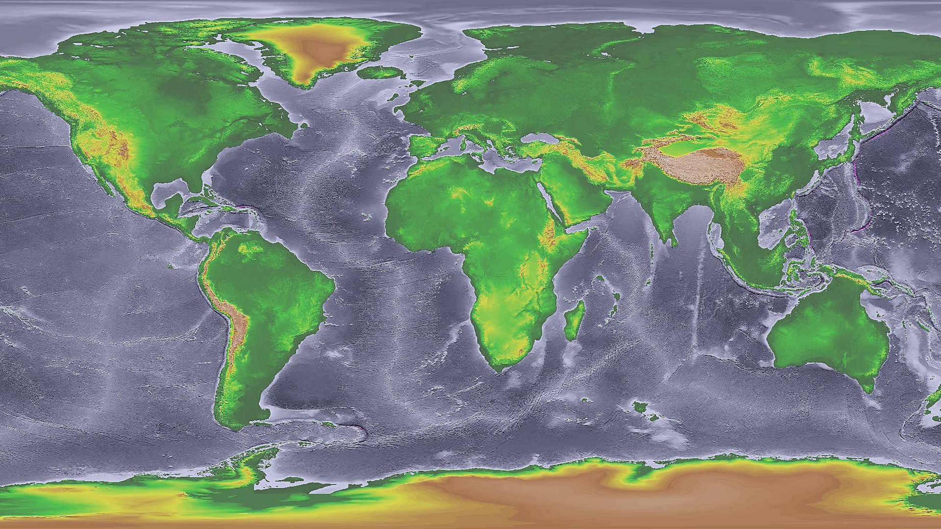
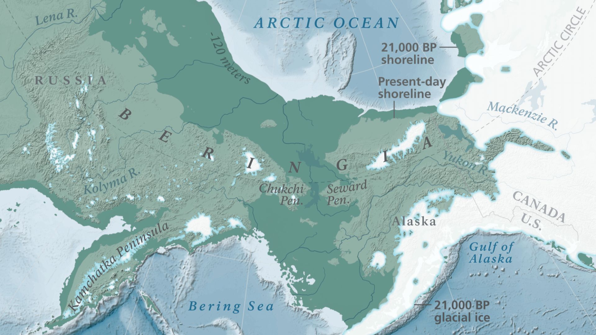
During the Last Glacial Maximum, enormous amounts of water were trapped in ice sheets. Global sea level eventually dropped roughly 120 to 130 metres below its modern position. That exposed huge stretches of continental shelf, turning many places we now imagine as seabed into plains, valleys, rivers, and coastlines.
 National Oceanic and Atmospheric Administration, Wikimedia Commons
Meet Sahul
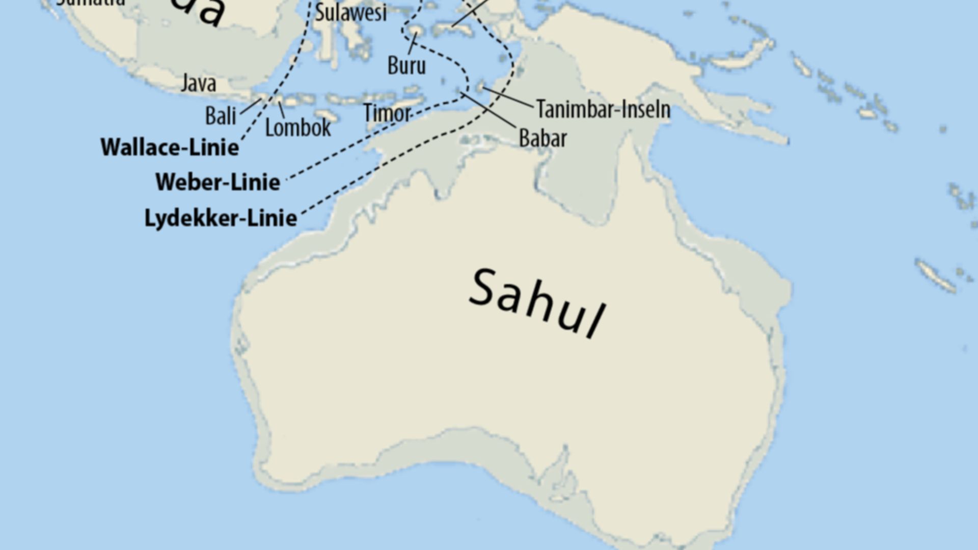
Australia was not shaped like modern Australia during much of the Ice Age. Lower seas joined Australia, New Guinea, and Tasmania into the enormous landmass archaeologists call Sahul. Its northern and northwestern edges extended much farther into what is now ocean, giving early travellers a very different world to enter.
 Maximilian Dorrbecker (Chumwa), Wikimedia Commons
The Gap Called Wallacea
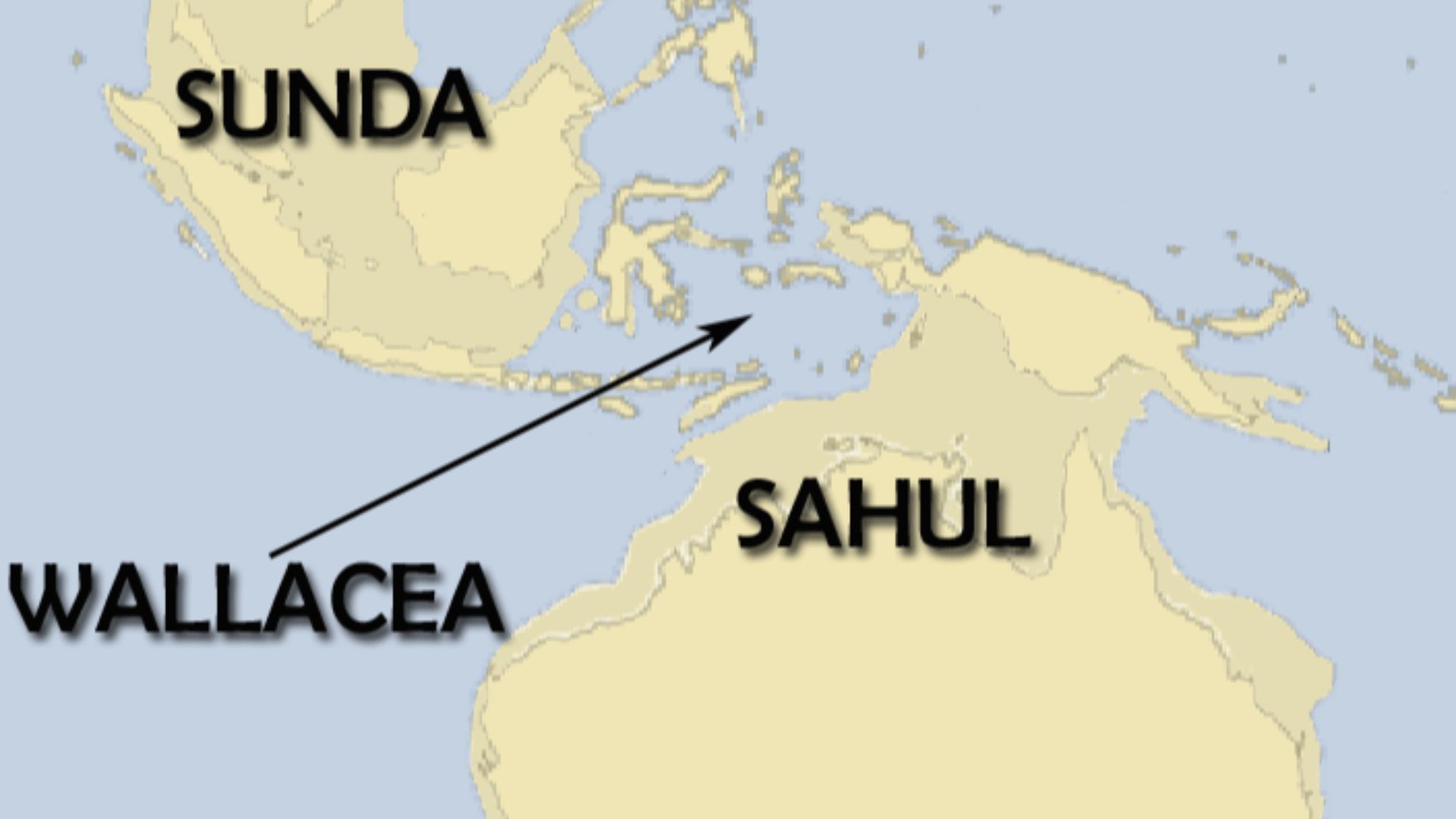
To Sahul’s northwest lay Sunda, the larger Ice Age landmass incorporating much of western Indonesia and Southeast Asia. Between Sunda and Sahul sat Wallacea, a maze of islands separated by deep channels. Even when sea levels dropped, those channels remained, meaning early humans could not simply walk all the way to Australia.
 Christophe cage, Wikimedia Commons
Crossing Water Was Unavoidable
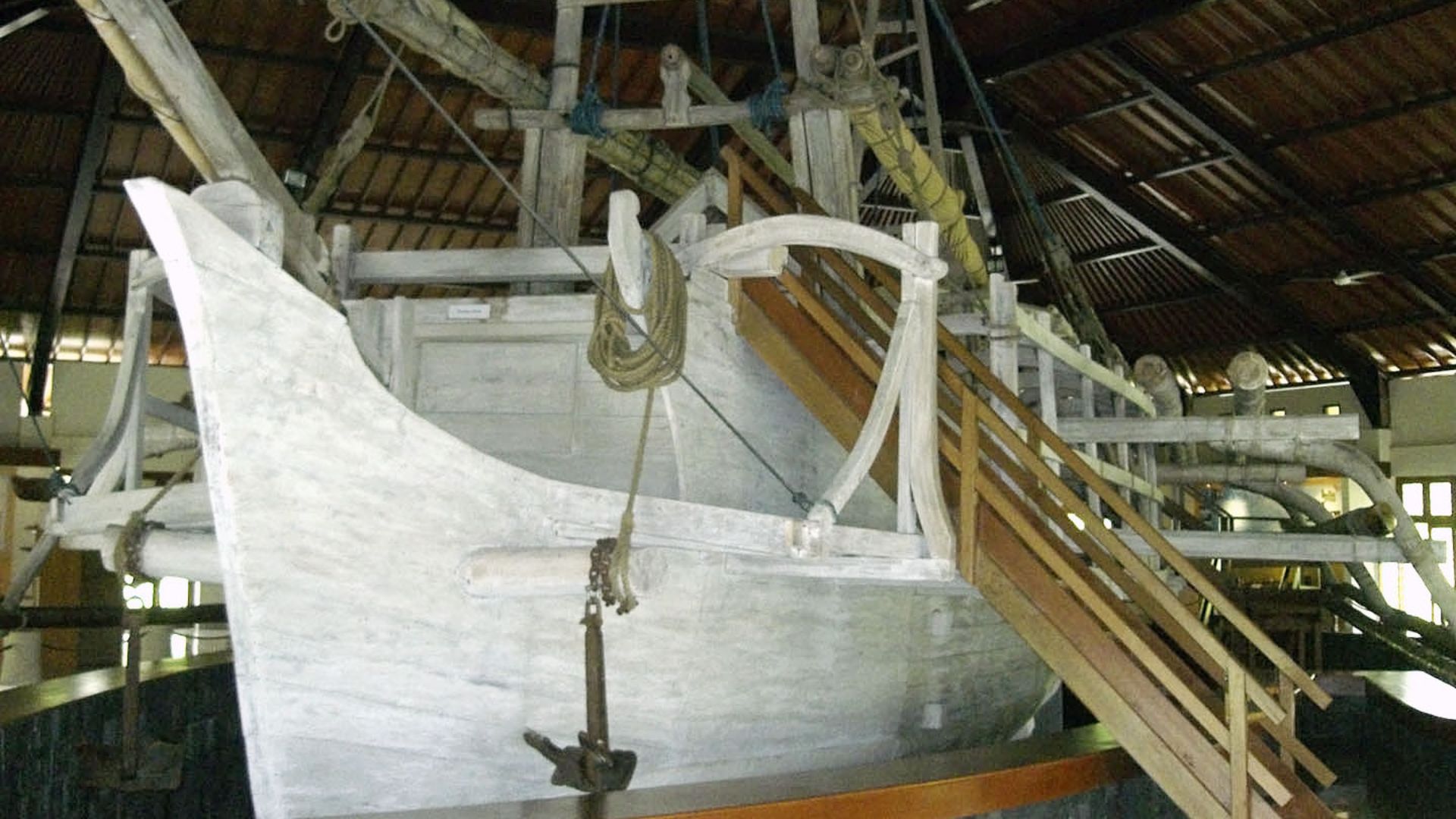
Reaching Sahul therefore required genuine sea travel. Exactly when people made the crossing remains debated, but humans were established in the region tens of thousands of years ago. Their journeys required planning, navigation, and watercraft capable of carrying people between islands that were sometimes beyond easy swimming distance.
 Gunawan Kartapranata, Wikimedia Commons
The Northwest Shelf Was Not A Shelf
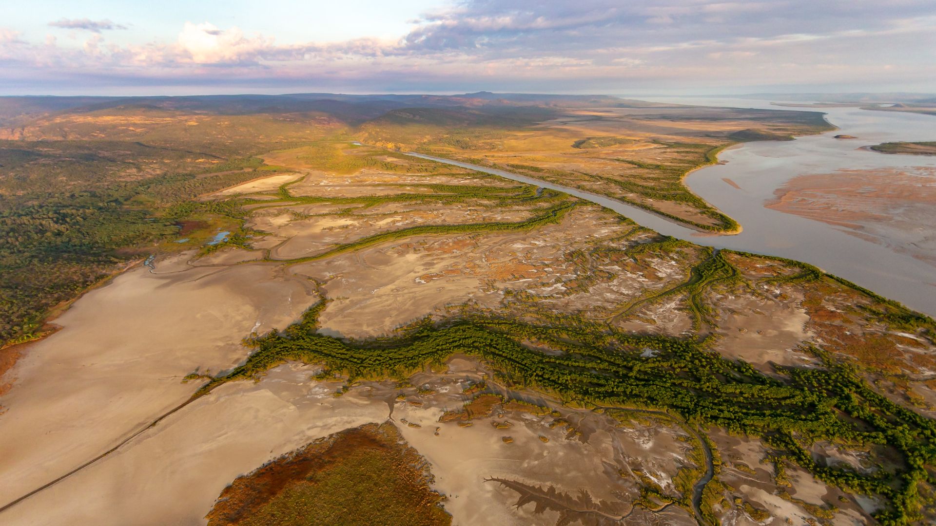
Today, the Northwest Shelf lies beneath the sea off northern Western Australia. During long periods of the Ice Age, however, much of it was dry land. Detailed mapping shows this was no boring flat plain. It contained channels, escarpments, valleys, lakes, wetlands, and changing coastlines.
A Landscape Bigger Than It Sounds
The vanished territory dramatically expanded northwestern Australia. At various times it linked areas around the Kimberley and Arnhem Land across a much broader landscape than exists today. Instead of arriving at something resembling Australia’s current coast, ancient migrants may have entered a sprawling world that has since almost completely disappeared.
Islands May Have Been Stepping Stones
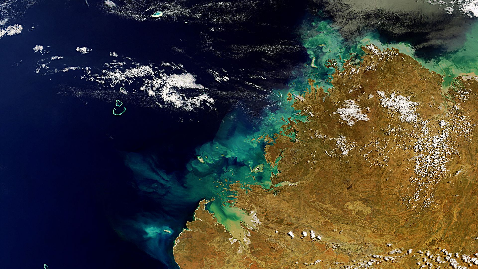
Around 70,000 to 60,000 years ago, parts of the shelf formed an extensive archipelago. Researchers argue those islands may have provided familiar environments for people already accustomed to travelling through Wallacea, allowing migrants to move gradually through coastal and island landscapes before encountering Sahul’s enormous continental interior.
 Envisat satellite, Wikimedia Commons
Rivers, Lakes, And An Inland Sea
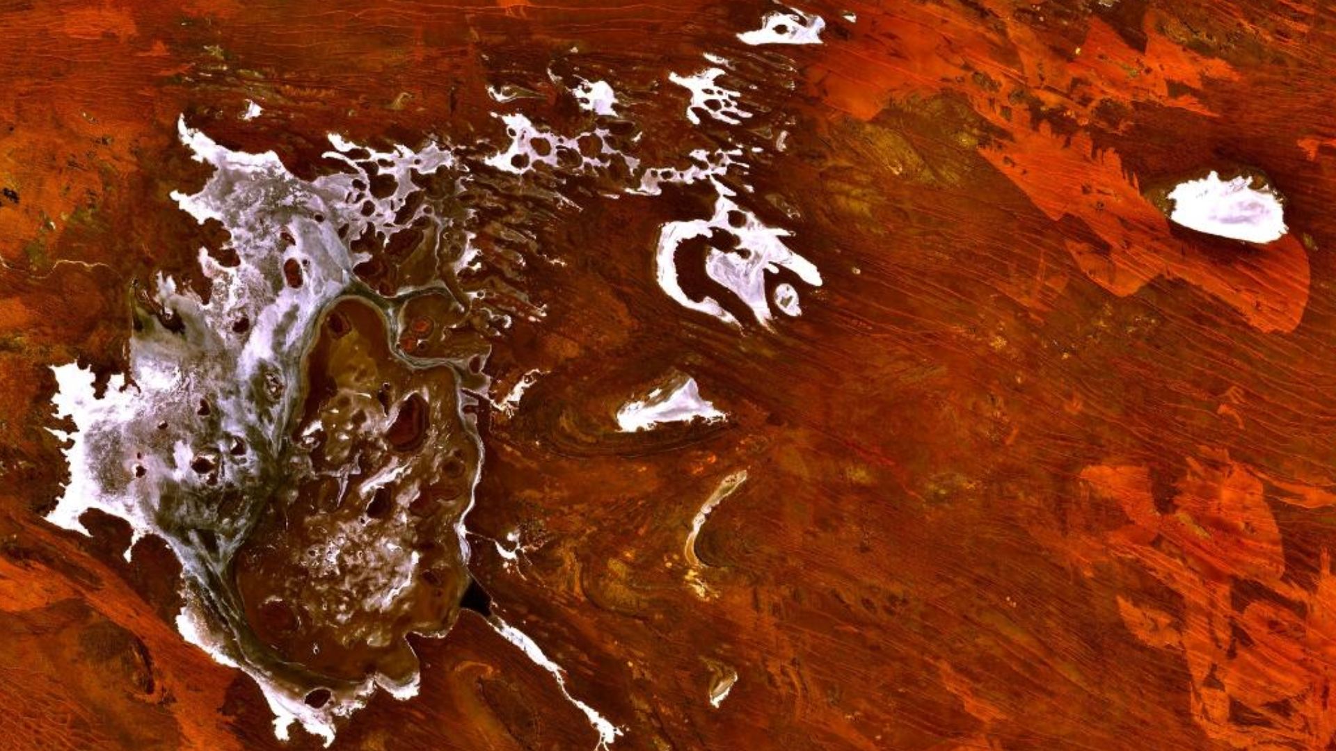
Later, as sea levels fell further, even more land appeared. Researchers have reconstructed ancient river systems along with a large freshwater lake and an inland body of water known as the Malita Sea. For hunter-gatherers, those waterways would have offered food, drinking water, travel corridors, and attractive places to camp.
 Zamphuor~commonswiki, Wikimedia Commons
A Place People Could Actually Live
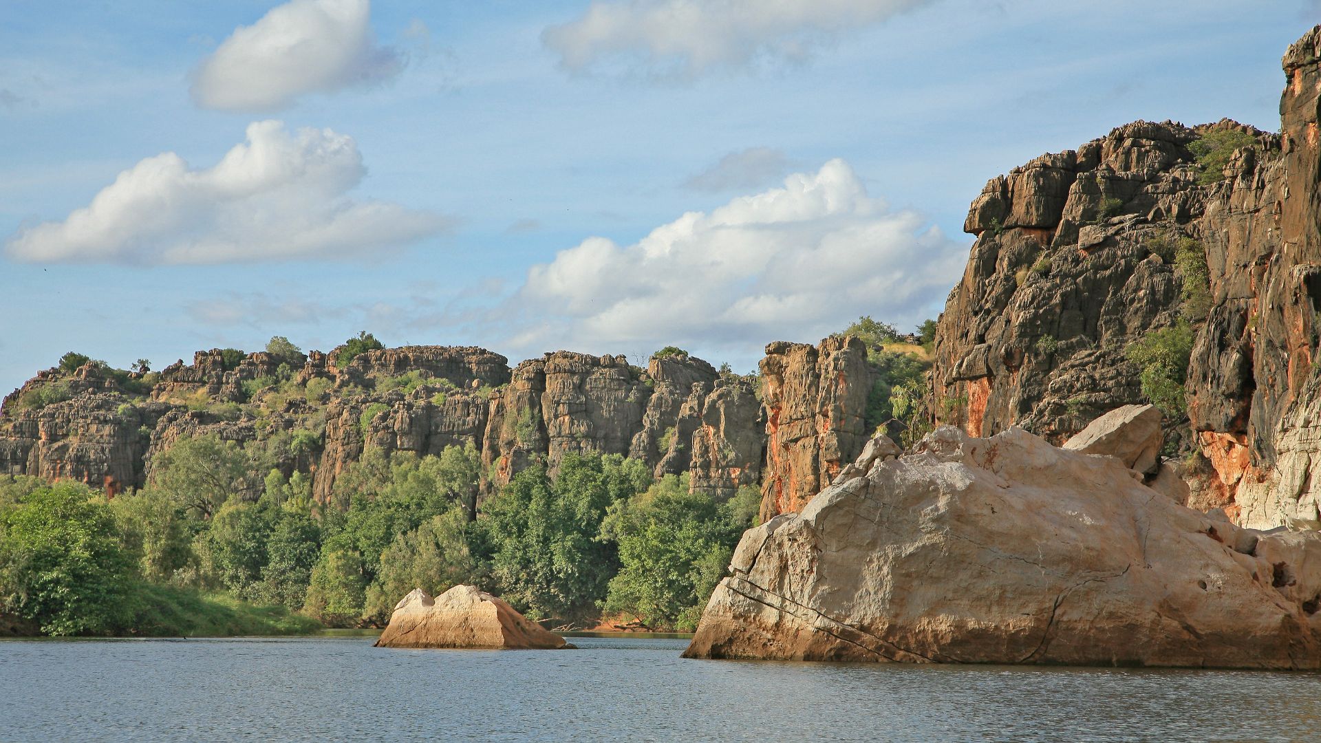
This matters because the submerged region was probably not merely something people hurried across. Its mixture of freshwater and marine environments could have made it highly productive. Gorges, rivers, wetlands, shorelines, and lakes would have created varied habitats where communities could repeatedly find reliable resources.
The Numbers Are Striking
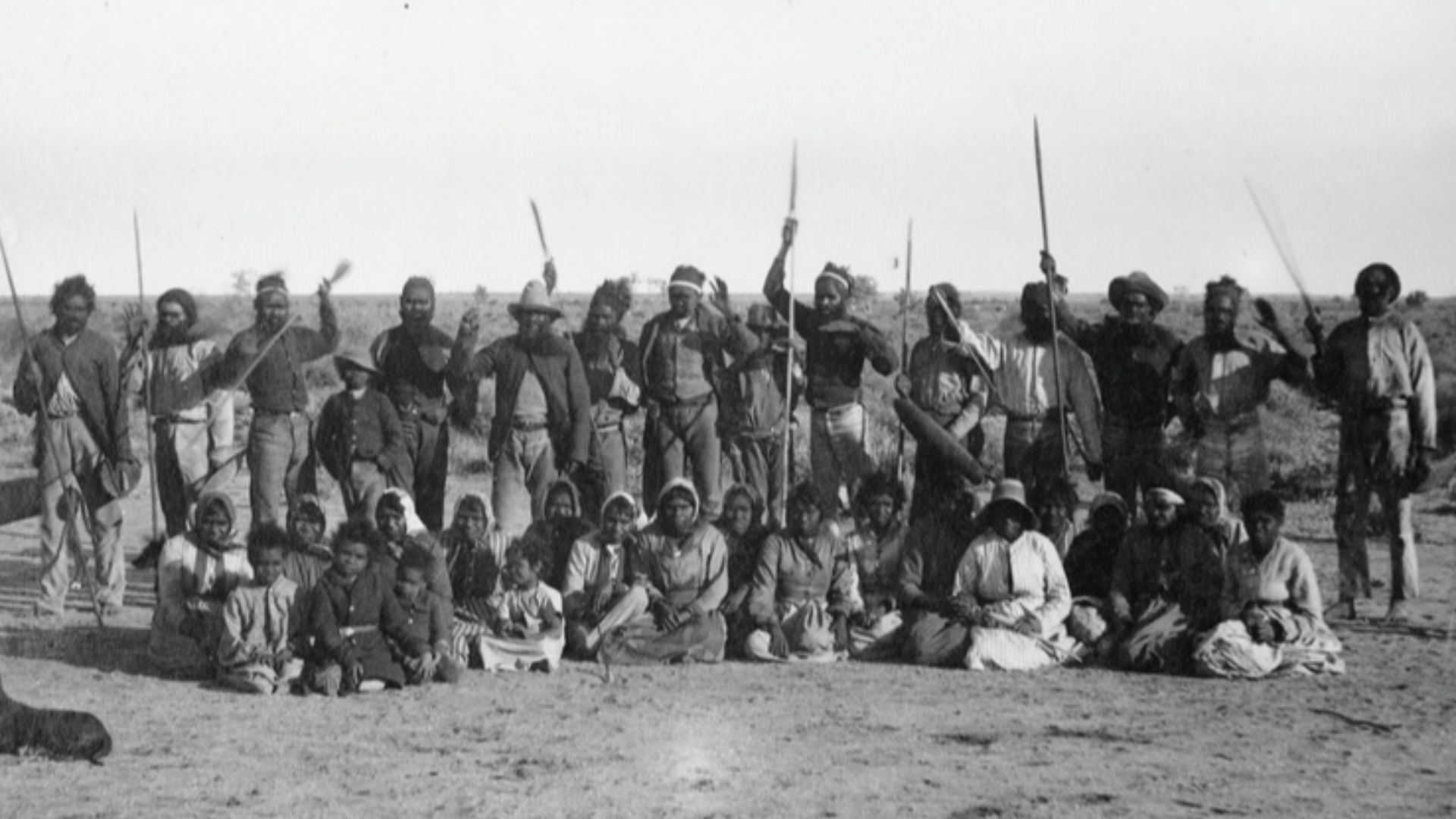
Ecological modelling suggests the Northwest Shelf might have supported somewhere between 50,000 and 500,000 people at different points during the past 65,000 years. The researchers estimate its potential population peaked around 20,000 years ago, when the shelf was most extensively exposed. Those figures remain models, not a prehistoric census.
 James Taylor, Wikimedia Commons
The Coastline Keeps Moving
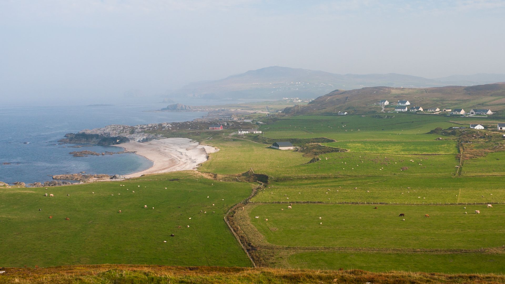
One tricky thing about studying Ice Age migration is that “the coast” was never fixed. As glaciers grew and shrank, shorelines shifted across huge distances. A fishing camp beside an estuary could eventually find itself far inland—or beneath metres of seawater. Archaeologists must therefore reconstruct geography almost as carefully as artifacts.
 Andreas F. Borchert, Wikimedia Commons
The Sea Took It Back
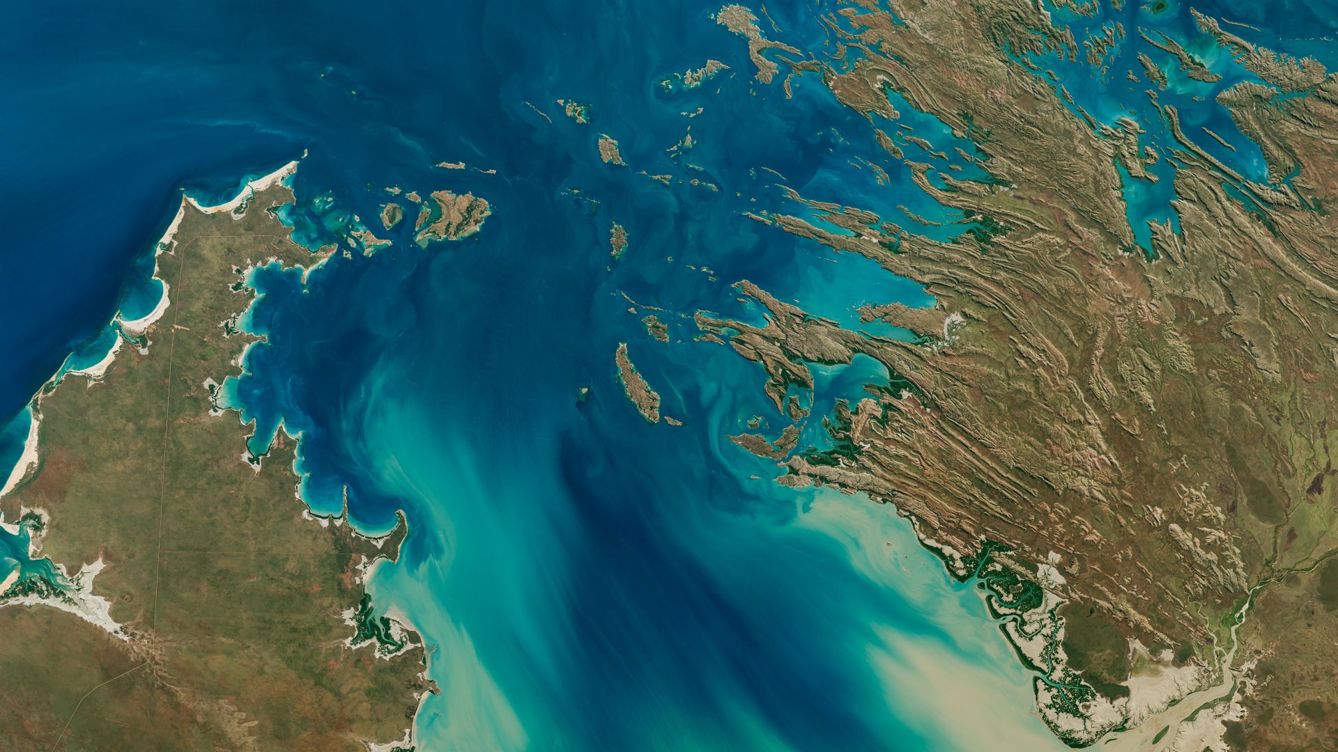
When the Ice Age ended, melting ice pushed the oceans upward. Two especially rapid periods of rising water between roughly 14,500 and 9,000 years ago helped drown about half of the Northwest Shelf. Communities living there would have watched familiar territory steadily disappear beneath advancing seas.
 NASA/Michala Garrison; U.S. Geological Survey, Wikimedia Commons
A Migration Record Went Underwater
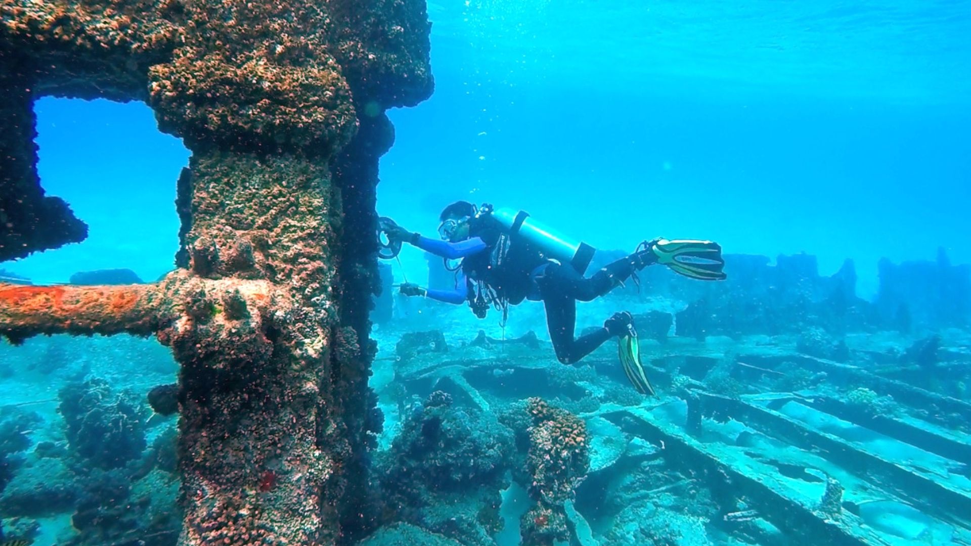
That creates an enormous archaeological problem. If early people preferred shorelines, river mouths, wetlands, and marine resources, many of their camps could now lie offshore. Looking only at modern dry land may therefore give us a strangely incomplete view of how people first entered Australia and where they travelled afterward.
 Dwi sumaiyyah makmur, Wikimedia Commons
That Changes What Archaeologists Expect
For generations, much of Australian archaeology naturally concentrated on caves, shelters, and open-air sites that researchers could reach on foot. Submerged landscapes force a different question: what if some apparent gaps in the archaeological record exist because the evidence is not missing at all? What if it is simply underwater?
 Dietmar Rabich, Wikimedia Commons
Computer Models Rebuild The Lost World
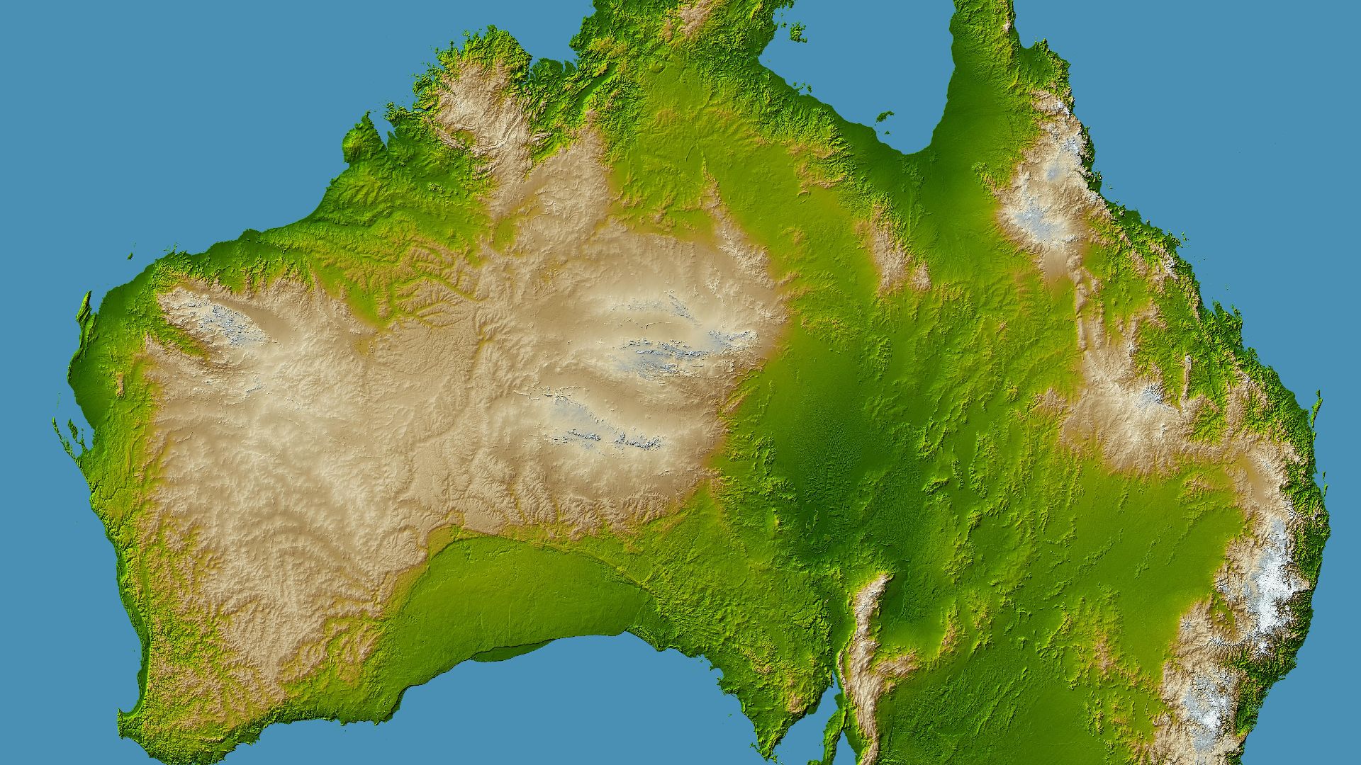
Researchers are now combining bathymetry, ancient climate data, changing sea levels, and landscape models to reconstruct Sahul through time. A 2024 study modelled how people might have moved across these evolving environments, rather than treating Ice Age Australia as one unchanging map.
 NASA/JPL/NIMA, Wikimedia Commons
Coastlines And Rivers Became Highways
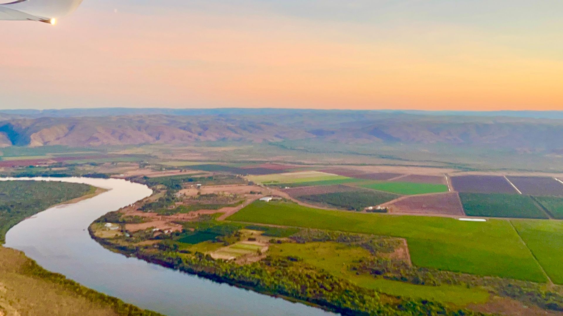
Those simulations suggest early dispersal across Sahul frequently followed coastlines and river corridors. That makes intuitive sense. Waterways offered drinking water, food, landmarks, and relatively dependable routes through unfamiliar country. Instead of wandering randomly across a continent, newcomers may have followed natural pathways already written into the landscape.
Ocean Currents Complicated The Journey
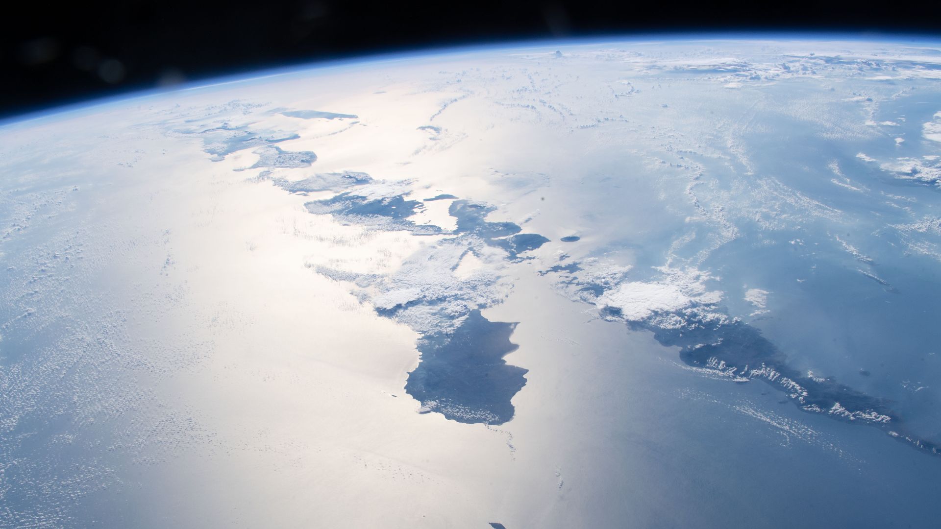
A 2026 modelling study added another ingredient: ancient ocean currents. Its results suggest currents could make the voyage from Sunda to Sahul more difficult than simple straight-line maps imply, while generally favouring northern or mixed migration routes during several periods between about 65,000 and 45,000 years ago.
Timor Adds Another Clue
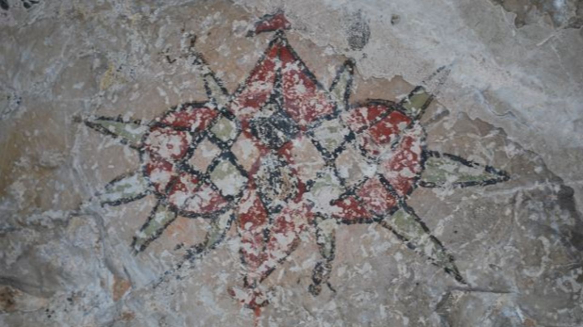
Archaeology on Timor-Leste shows just how complicated the migration story may be. At Laili rock shelter, researchers found sediments without clear human occupation around 59,000 to 54,000 years ago, followed by intensive habitation beginning about 44,000 years ago. That pattern may reflect a significant later colonisation phase.
 David Palazon, Tatoli ba Kultura, Wikimedia Commons
Tanimbar Shows Fast Maritime Movement
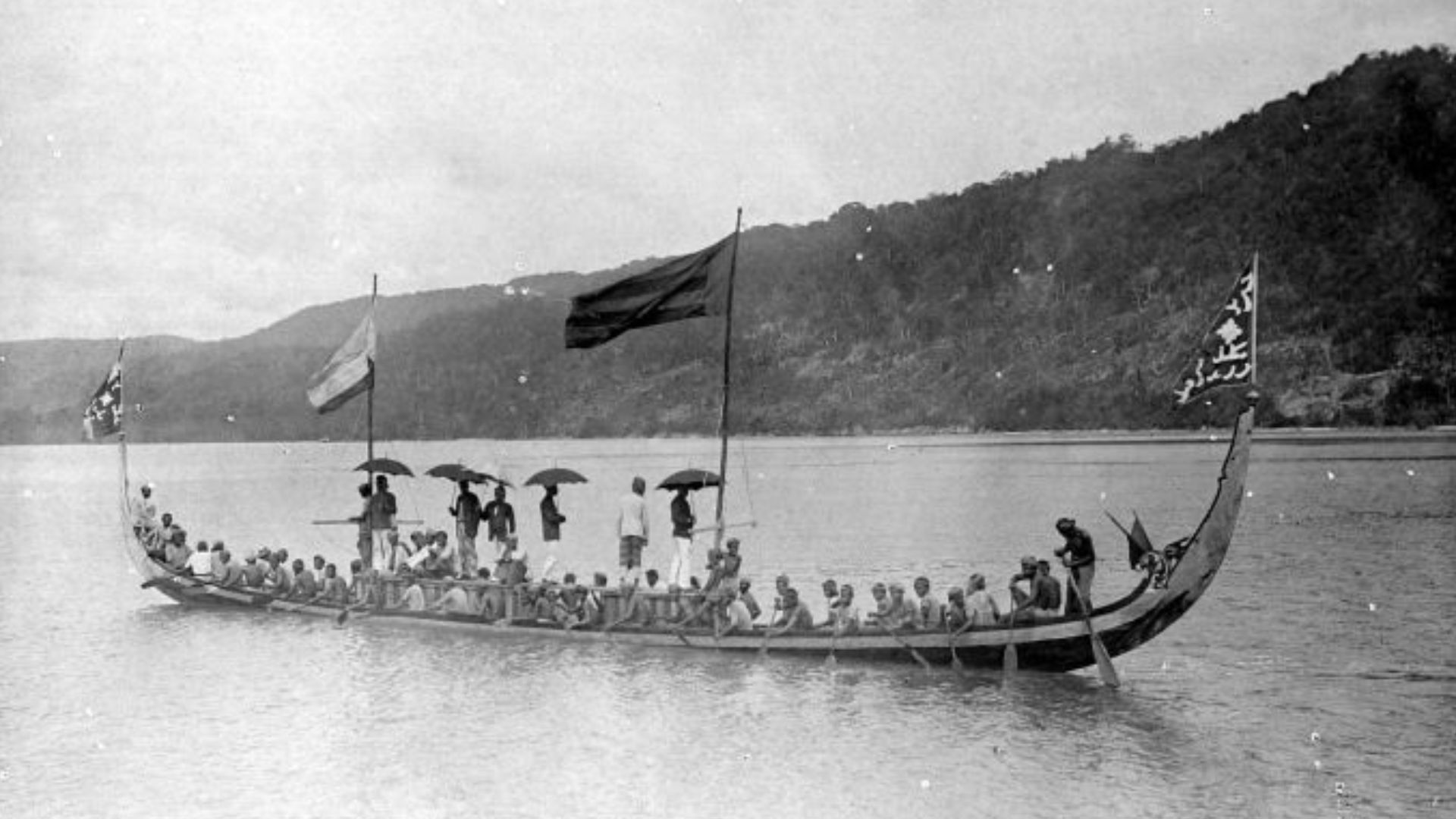
The Tanimbar Islands provide another piece of the puzzle. Archaeologists reported human occupation there roughly 42,000 years ago, along with evidence that inhabitants exploited both marine and terrestrial resources. Reaching Tanimbar required maritime ability, reinforcing the picture of Ice Age people as capable seafarers rather than reluctant castaways.
 Unknown authorUnknown author, Wikimedia Commons
Underwater Archaeology Is Finally Catching Up
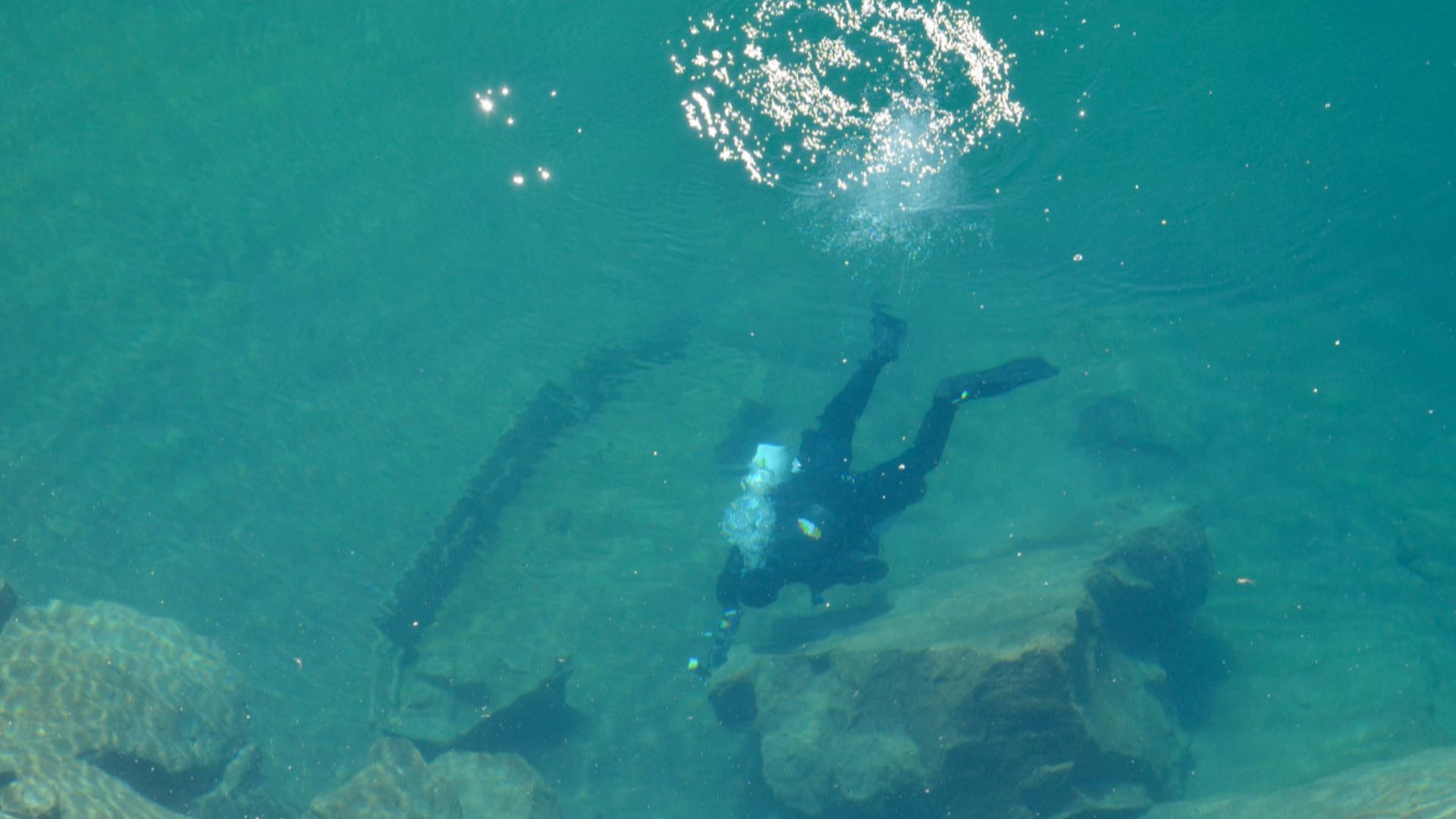
Searching drowned landscapes is far more difficult than walking across a desert looking for stone flakes. Researchers must first identify ancient landforms hidden under sediment and water. Sonar, aerial mapping, bathymetry, seismic data, diving, and environmental reconstruction are increasingly allowing archaeologists to narrow an enormous seabed down to promising targets.
 Rupert Gietl (Arc-Team), Wikimedia Commons
Stone Tools Have Already Been Found Offshore
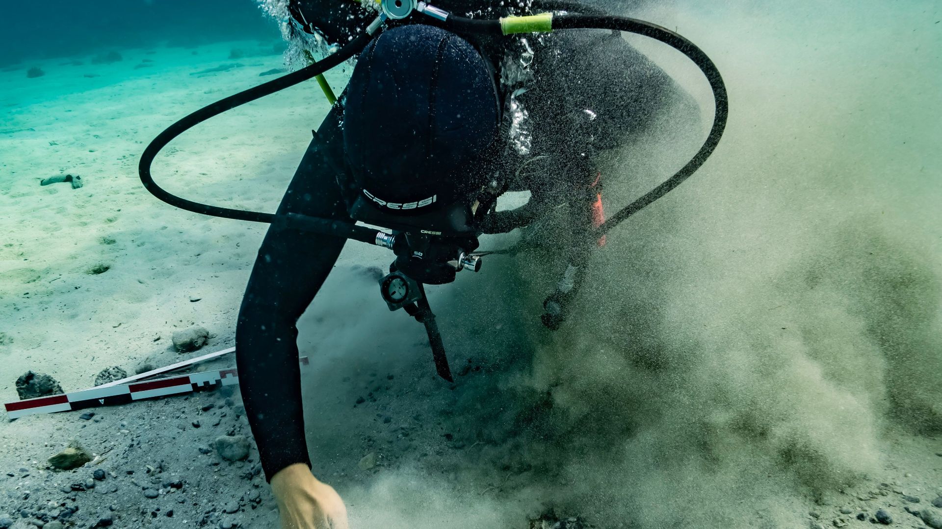
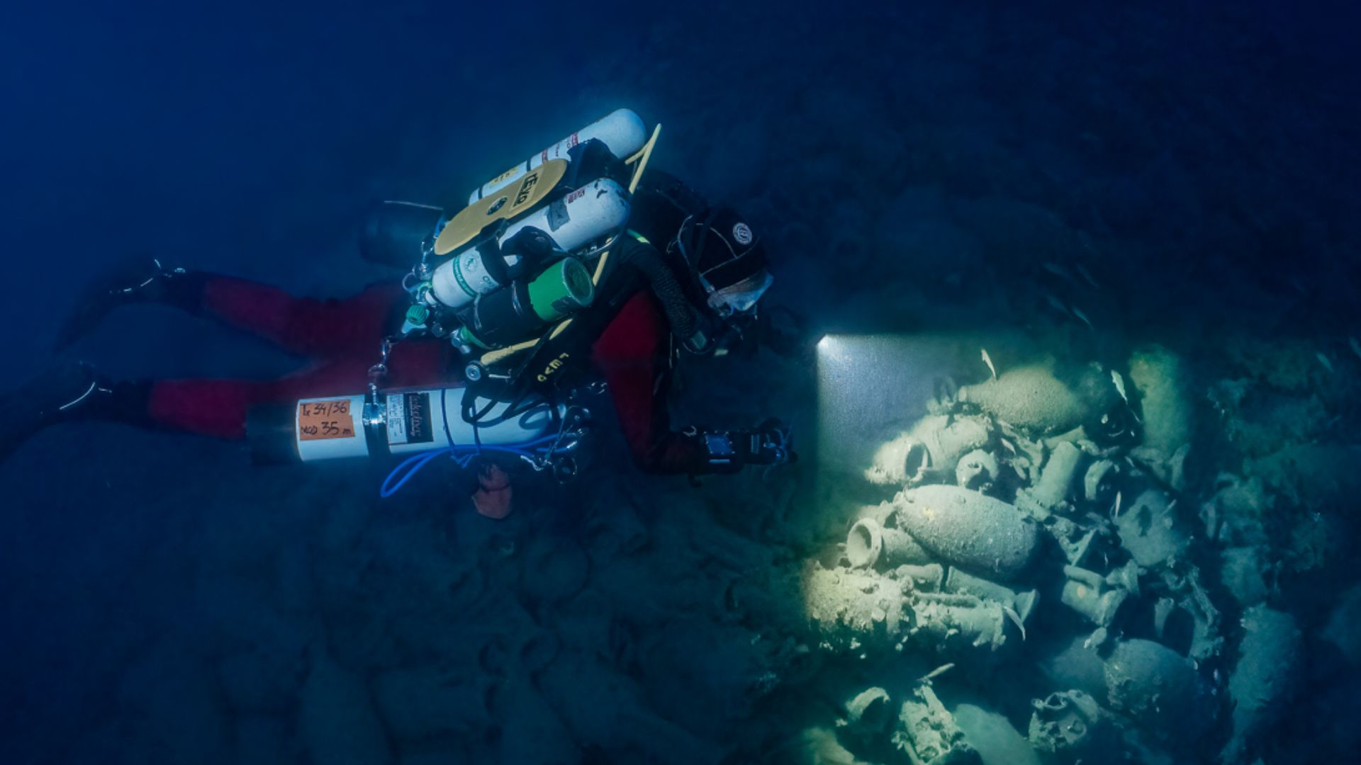
The idea is not purely theoretical. In 2020, researchers reported Australia’s first confirmed ancient underwater Aboriginal archaeological sites off Murujuga. At Cape Bruguieres, divers recorded more than 260 stone artifacts, while another site at Flying Foam Passage included evidence beside a submerged freshwater spring.
Technology Is Changing The Search
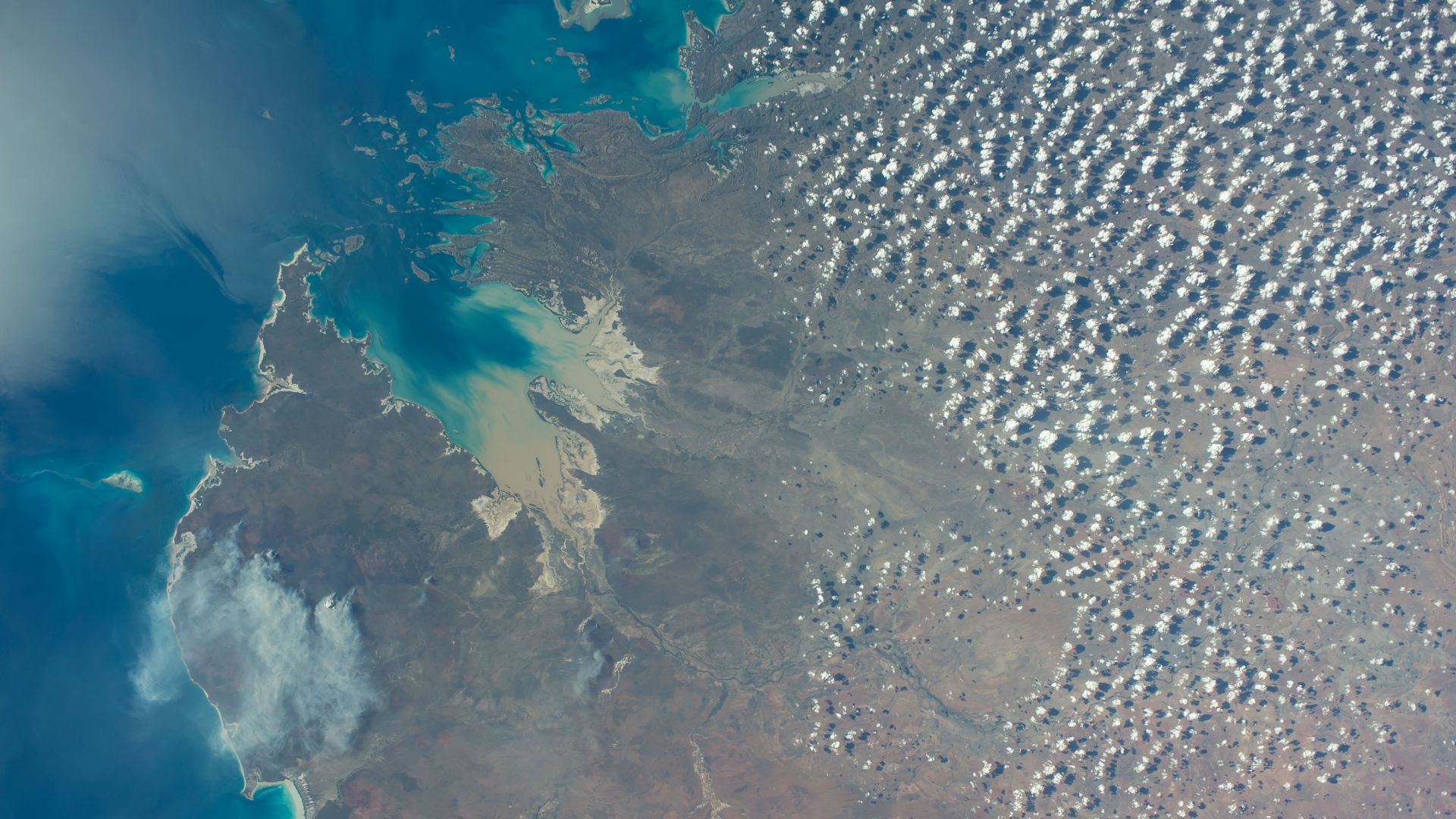
Industrial seismic surveys are also proving surprisingly useful. One project examined thousands of square kilometres of the Northwest Shelf and identified preserved coastal features around 70 to 75 metres below modern sea level, including dunes, lagoons, tidal flats, and estuarine channels dating to a period overlapping early human occupation.
Preservation Is The Big Question
Finding an ancient landscape does not guarantee finding an ancient campsite. Waves, currents, storms, sediment, and thousands of years of erosion can scatter or bury evidence. Yet the Murujuga discoveries demonstrate that artifacts can survive inundation, giving archaeologists good reason to keep searching deeper and farther from today’s shore.
 Reginestein, Wikimedia Commons
Indigenous Sea Country Matters
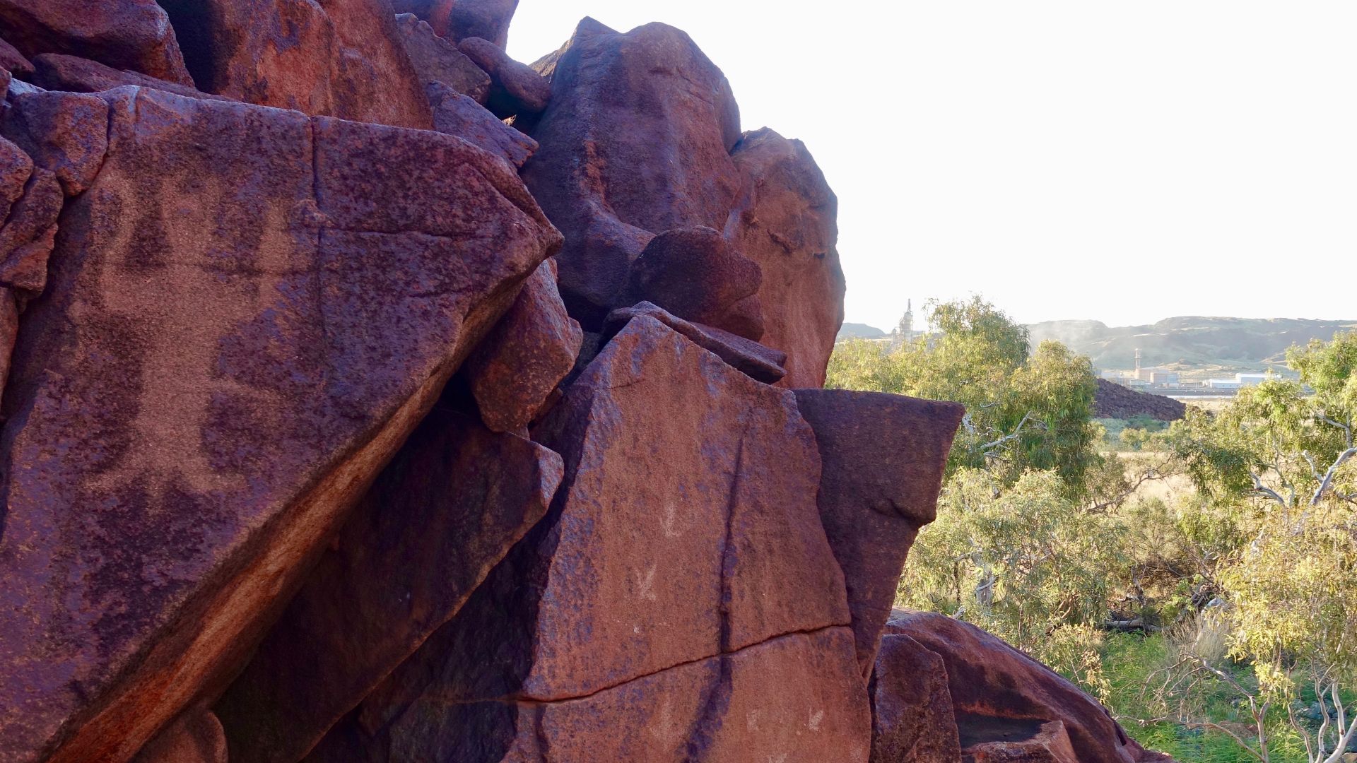
This work is also cultural heritage research, not simply a hunt for very old objects. The underwater investigations around Murujuga have involved partnerships with the Murujuga Aboriginal Corporation and Traditional Owners. Studying drowned landscapes can reconnect modern Sea Country with places that were once lived on before rising oceans transformed them.
 Marius Fenger, Wikimedia Commons
The Search Has Global Implications
Australia is hardly the only place where the Ice Age coastline vanished. Continental shelves around the world were exposed when sea levels were lower. If ancient humans commonly followed coasts, many early migration routes from Southeast Asia to the Americas may now have important sections hidden beneath modern seas.
 Unknown authorUnknown author, Wikimedia Commons
The Missing Chapter Is Still There
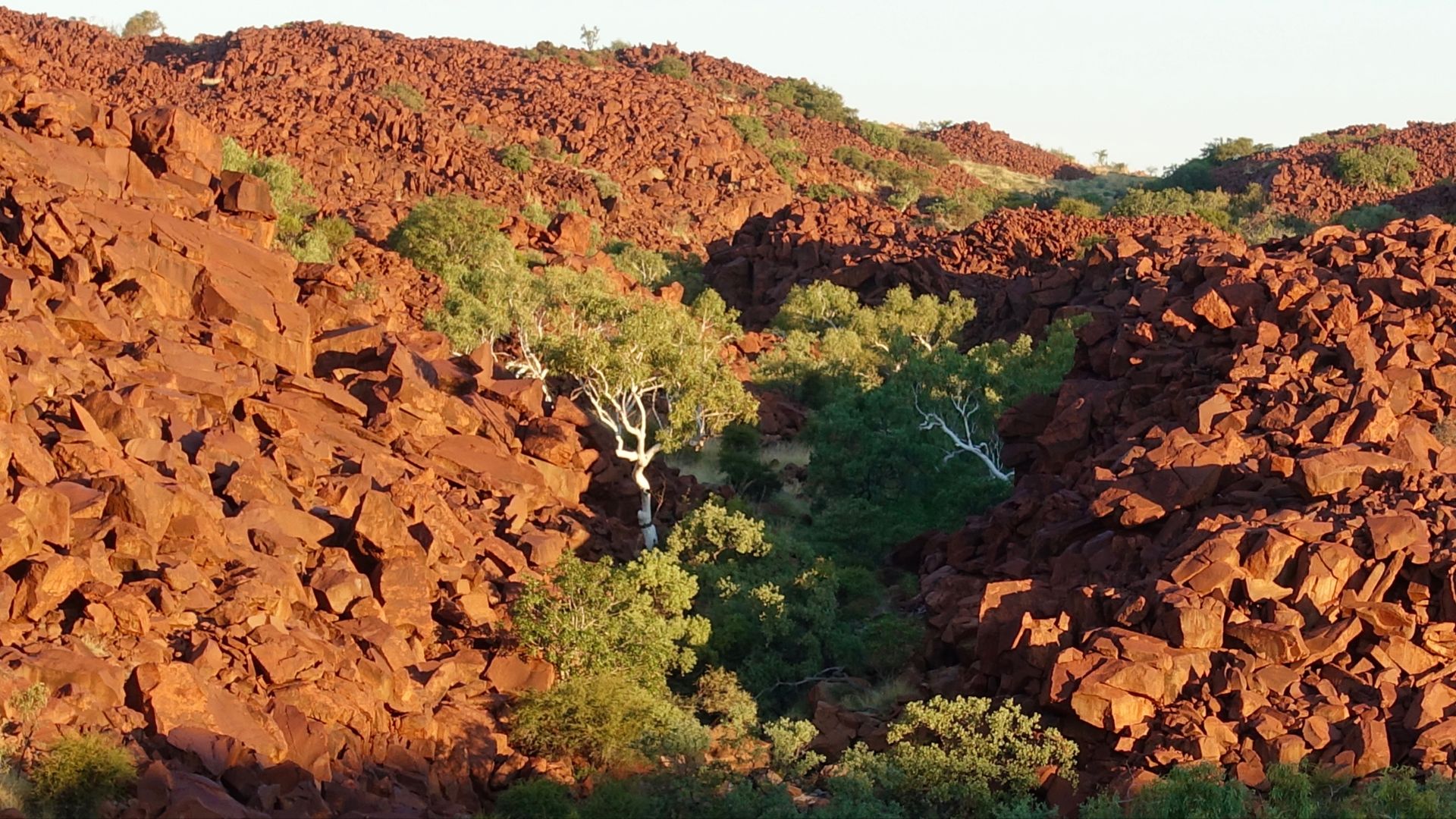
The lost Northwest Shelf offers a tantalizing possibility: a major part of humanity’s migration story may survive beneath the waves. Researchers have reconstructed its rivers, coastlines, islands, and lakes, and underwater artifacts prove ancient sites can survive flooding. The next great archaeological discovery might require a boat instead of a shovel.
 Marius Fenger, Wikimedia Commons
You May Also Like: