 Pete Fordham, Wikimedia Commons
Deep inside the forested region of Campeche, researchers studying laser-based LiDAR data noticed shapes that did not match the surrounding natural land. The scans showed clean edges, elevated platforms, and geometric forms that suggested a large human presence once existed under the dense vegetation. When archaeologists later walked the terrain, they confirmed that these features were not the product of erosion or chance. They belonged to an ancient settlement that had remained concealed for centuries. The name Valeriana came from a lagoon near the site, and its rediscovery marks a major moment in understanding how Maya cities once spread across the southern Mexican lowlands. While early findings provide an outline of the settlement, ongoing analysis continues to reveal how complex and extensive the city truly was.
LiDAR’s Role In Revealing Hidden Structures
The use of LiDAR has changed how archaeologists locate ancient cities hidden beneath thick forest cover. By sending laser pulses from aircraft, LiDAR produces detailed images of the ground surface, even when heavy vegetation blocks traditional aerial observation. The dataset that contained Valeriana’s location was originally collected in 2013 for environmental purposes rather than archaeological study. Years later, specialists reviewing the information noticed long, straight lines and rectangular plots that appeared too organized to be natural features. These patterns closely resembled other Maya sites, giving researchers their first indication that a sizable ancient community had existed in this part of Campeche.
Once the LiDAR images highlighted potential structures, archaeologists needed direct observation to confirm the findings. Ground teams reached the location through narrow trails and documented the shapes seen in the LiDAR data. They verified platforms, leveled spaces, and stone foundations consistent with Maya construction methods. The process required careful comparison between the digital models and the terrain to ensure the features were genuine and not illusions created by vegetation shadows. This collaboration between remote sensing and fieldwork allowed researchers to map the city’s layout with confidence and provided the basis for further study of Valeriana’s size and age.
 Ihiroalfonso, Wikimedia Commons
Architectural Features: Pyramids, Plazas, And A Ballcourt
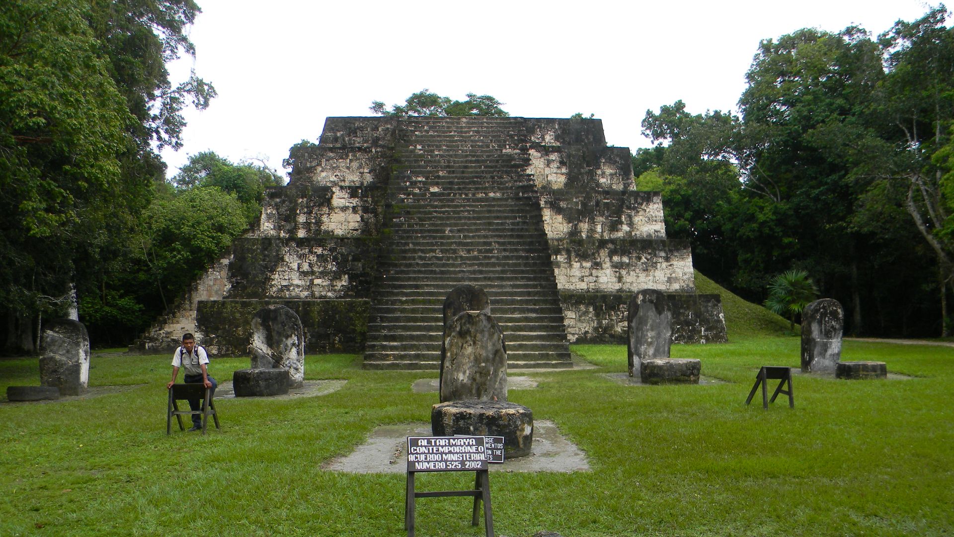
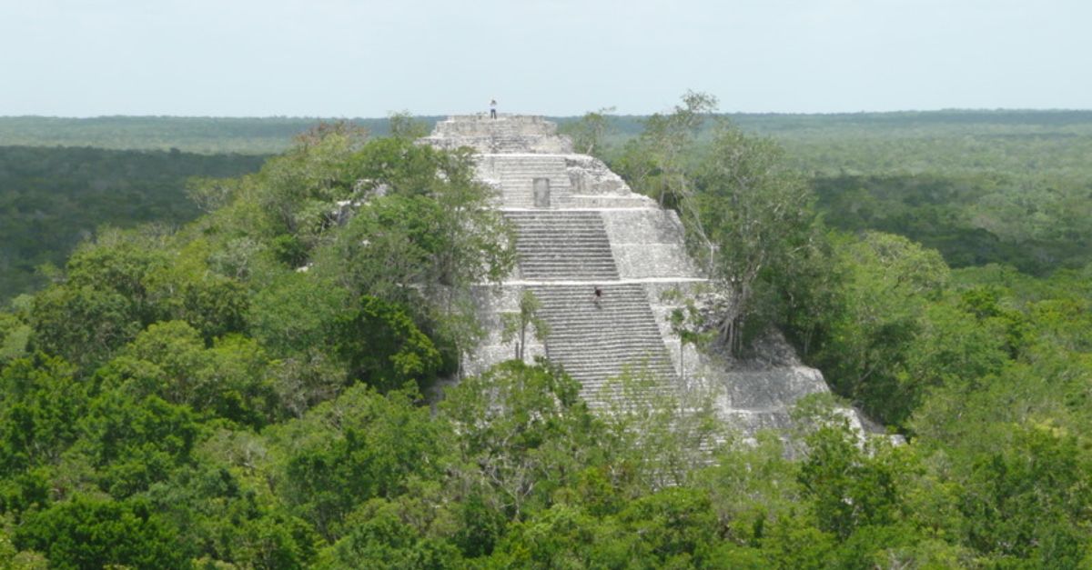
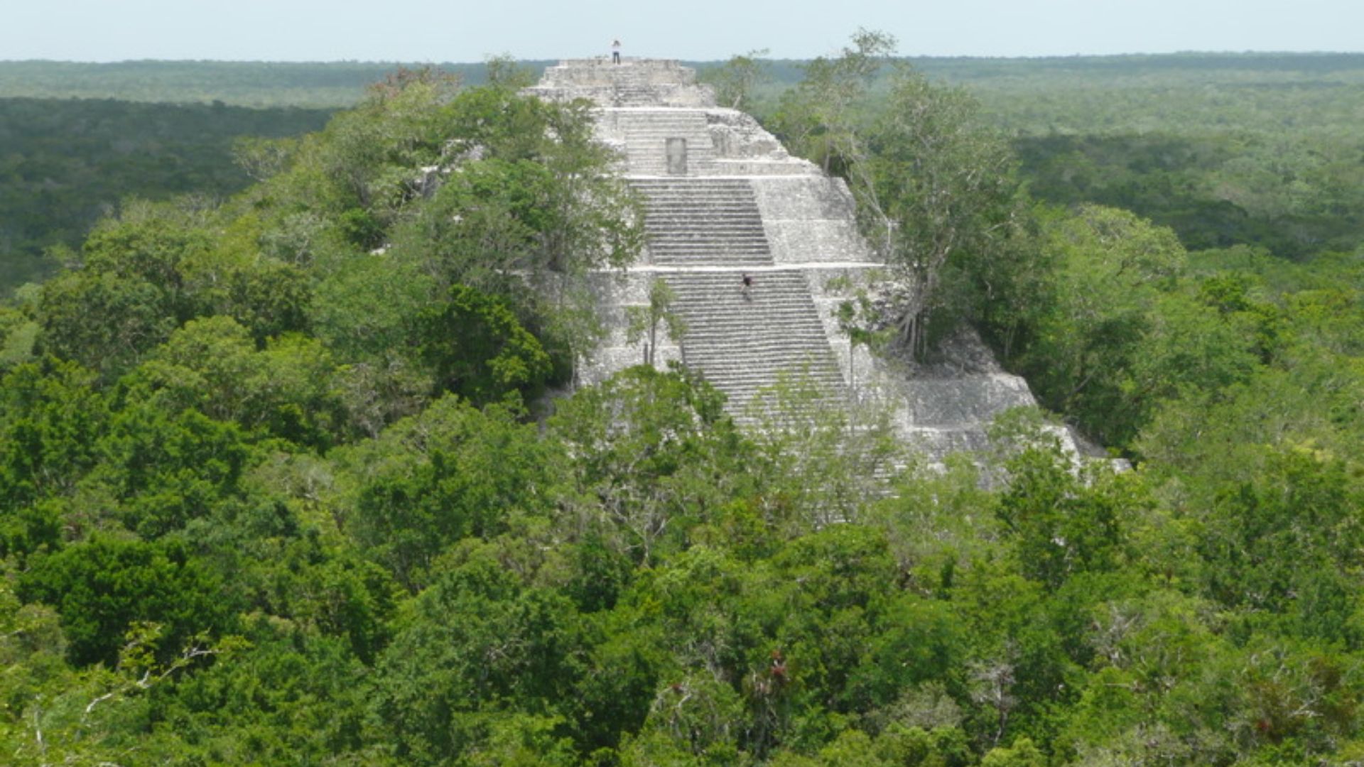
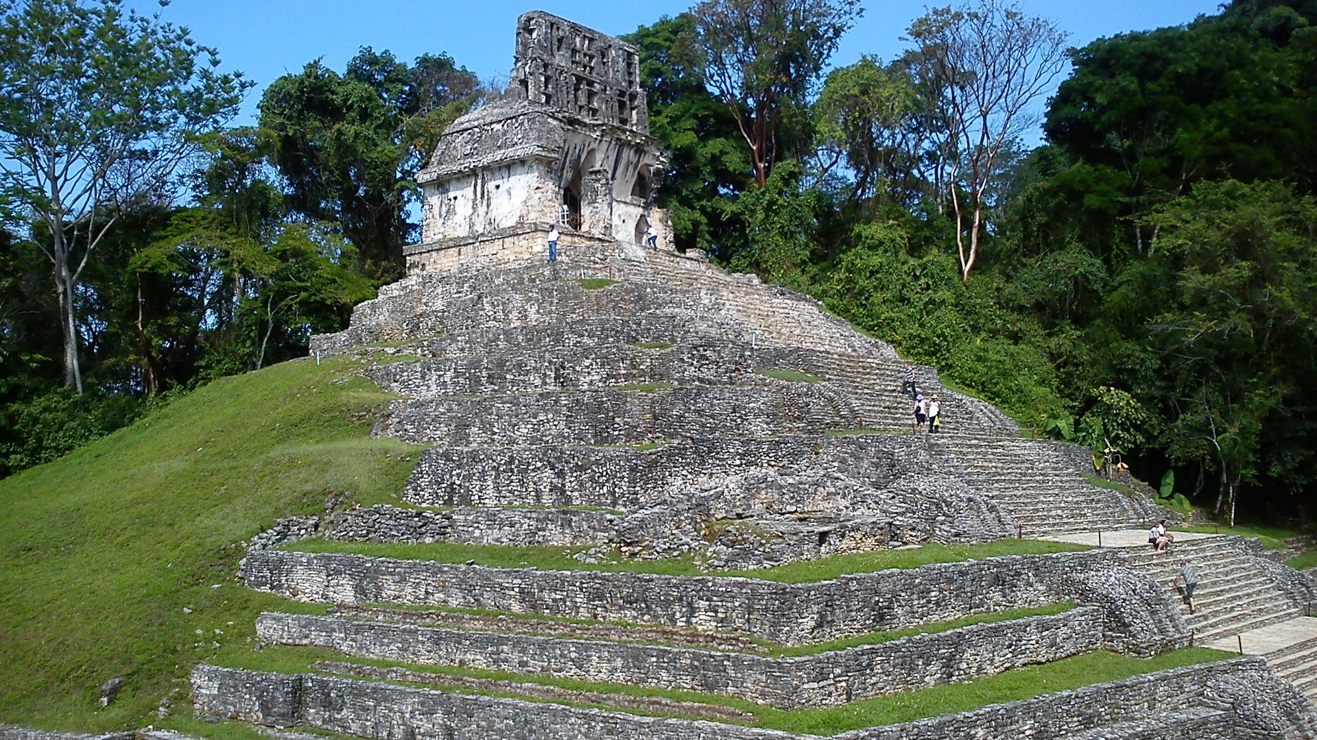
As researchers mapped Valeriana more thoroughly, they identified a collection of architectural elements typical in a Mayan settlement. The site includes pyramidal platforms rising above surrounding plazas, similar in form to ceremonial structures found elsewhere in the region. These platforms would have supported temples or civic buildings that anchored the community’s public areas. The plazas themselves appear large enough to host gatherings, rituals, or marketplace activity, suggesting the settlement served as a local center of social life. Their arrangement follows patterns seen in Classic-period Maya cities.
One of the most distinctive findings is the presence of a ballcourt. The Maya ballgame carried religious and political importance, and its inclusion at Valeriana shows the community participated in broader cultural practices that connected cities across the region. Researchers also identified networks of causeways and platforms that link various parts of the settlement, revealing intentional planning rather than scattered construction. The placement of pyramids, plazas, and the ballcourt demonstrates how Valeriana balanced ceremonial space with daily activity. These features help researchers understand how residents may have moved through the city and how community life may have unfolded during the settlement’s active period.
Reservoirs And The City’s Broader Significance
Valeriana also contains a constructed reservoir, which adds important information about how its residents managed water. Campeche experiences seasonal rainfall, making reliable water storage essential for communities that relied on agriculture and long-term habitation. Archaeologists found evidence of a basin designed to capture and hold rainwater, a feature consistent with water systems at other Maya cities. Reservoirs played a practical role in survival but also supported ceremonial life when they supplied water for religious activities tied to annual cycles. Its presence shows that the city’s planners addressed environmental challenges with deliberate engineering choices.
The rediscovery of Valeriana has wider implications for Maya archaeology. The site lies in an area where modern farms, cattle ranching, and forest growth made ancient remains difficult to detect without advanced technology. Local residents had lived near parts of the settlement without realizing its size or significance. As researchers continue to study the structures and compare them with other Maya centers, Valeriana will provide insight into population distribution, territorial organization, and cultural activity in the southern lowlands. The discovery demonstrates how modern tools continue to uncover pieces of history that remained hidden in plain sight.