
A City Under The Sea, Hidden In Plain Sight
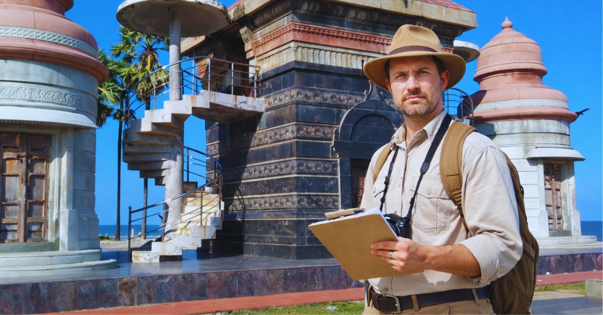
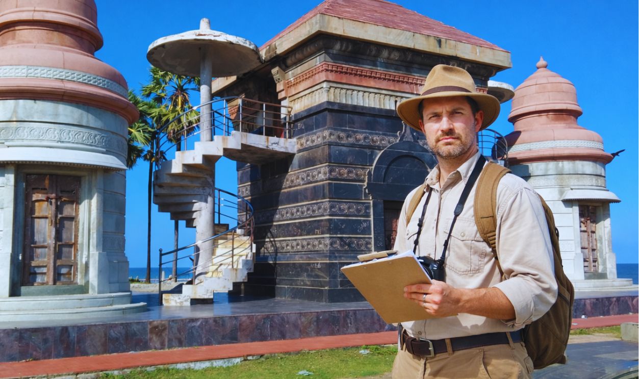
Off India’s southeast coast, archaeologists have been mapping a submerged ancient port city near modern Poompuhar, a place long tied to Tamil legend and early seafaring. What they are finding on the seabed looks less like scattered ruins and more like the outline of a working harbor district. The deeper they scan, the more it hints at trade routes that once stitched India to faraway shores.
 Destination8infinity, Wikimedia Commons, Modified
The Discovery That Keeps Getting Bigger
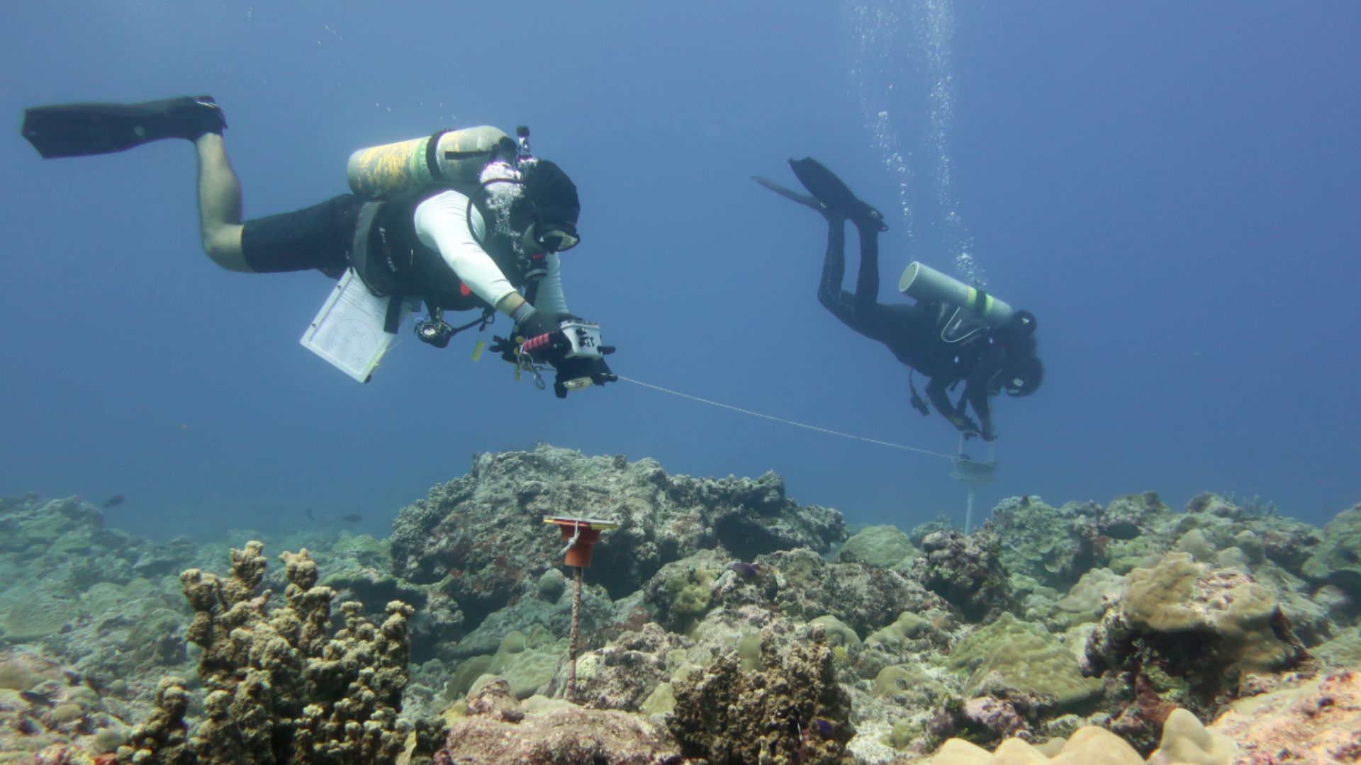
Underwater surveys in the Poompuhar waters have documented vast structural remains. Researchers have used marine geophysical tools and diver checks to confirm targets on the seafloor. Each new pass adds more detail, and it is starting to read like a planned coastal city that sank beneath the waves again and again over millennia.
 NOAA Fisheries/Ari Halperin, Wikimedia Commons
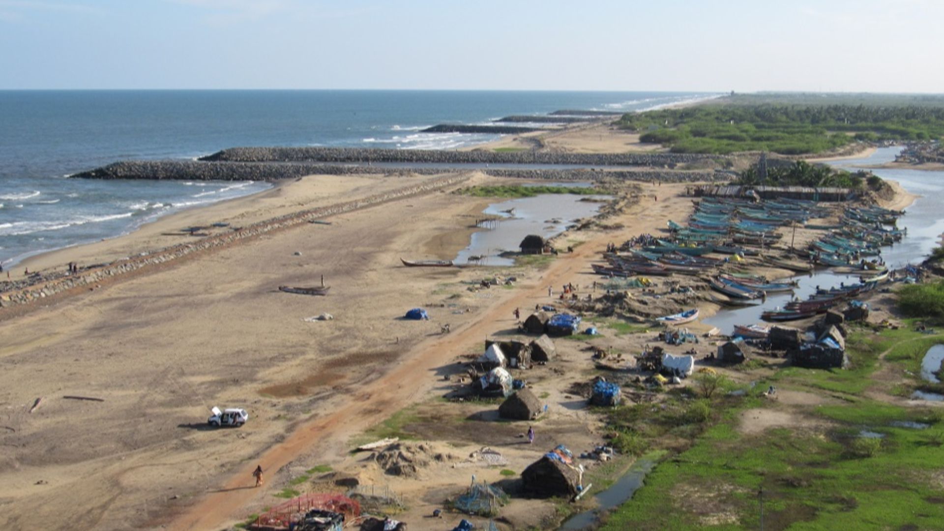
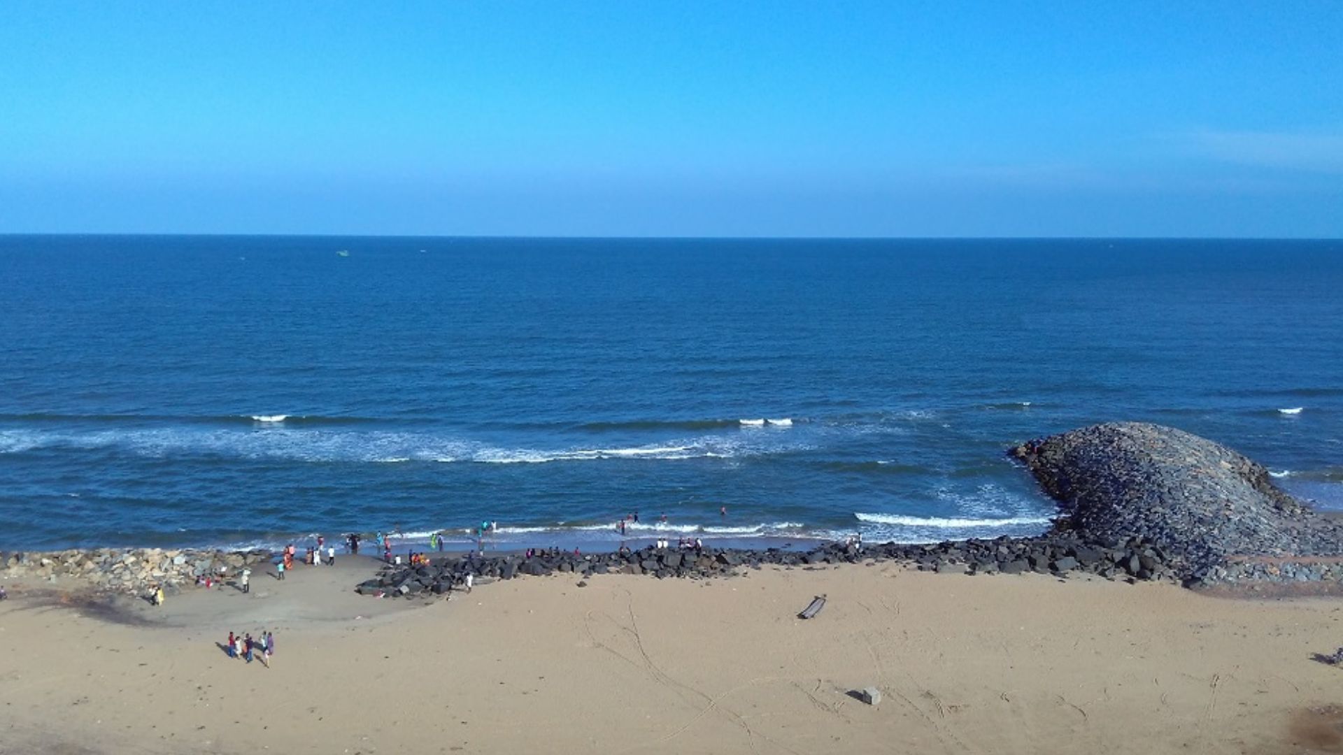
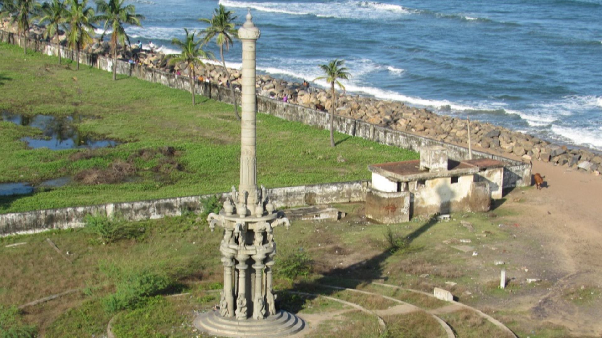
The Port With A Reputation For Drama
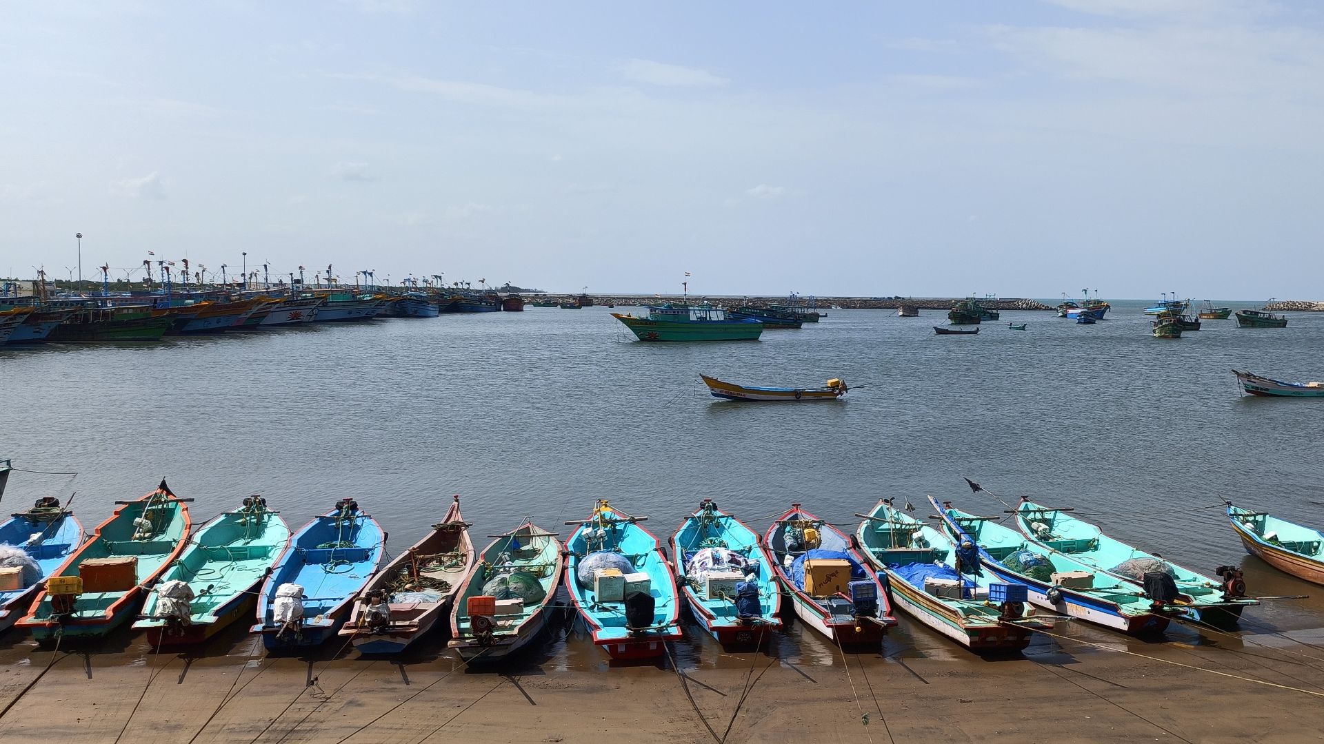
The small town of Poompuhar today was once the great ancient port of Kaveripattinam, a celebrated hub in early Tamil history. Classical Tamil literature describes a bustling waterfront where merchants, performers, and royal power mixed in one noisy strip of coastline.
The lore also carries a darker thread: the sea that gave the city its wealth may have eventually swallowed it.
 MARIKANNAN G, Wikimedia Commons
Why This Coastline Matters So Much
The Bay of Bengal coast was not a some backwater in antiquity. It was positioned to connect inland river routes to important maritime highways that ran toward Sri Lanka, Southeast Asia, Arabia, and beyond. A functional port here would have been an obvious gateway where valuable trade goods could be repacked, taxed, and sent onward.
What Scientists Actually “See” Down There
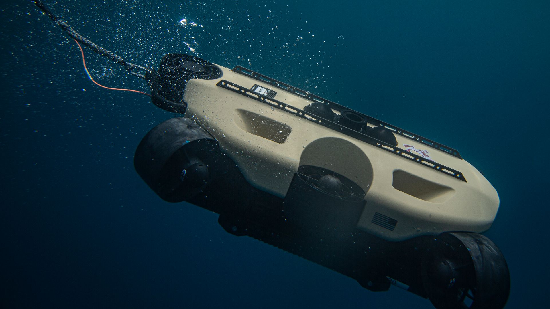
Instead of relying on one lucky artifact, surveyors have used remote sensing to locate shapes on the seabed that were once man-made structures. Sonar and other geophysical methods can pick up anomalies such as straight edges and organized clusters. Those are the kinds of patterns nature rarely makes on its own.
 U.S. Marine Corps photo by Sgt. Marvin Lopeznavarro, Wikimedia Commons
The Human Fingerprints On The Seafloor
Divers have investigated select locations off Poompuhar where instruments flagged promising features. The inspections have helped verify that some targets are not just random rock. It soon became clear that the eroding river mouth has forced this settlement to move time and time again, while the ocean swallowed what was left.
A Port City That Refuses To Stay Buried
The Poompuhar seabed has been studied for years, with new documentation expanding what researchers think they are looking at. Every additional feature provides researchers more proof that this small town was once a dense and vibrant coastal settlement tied to trade.

Who Exactly Was Trading Here?
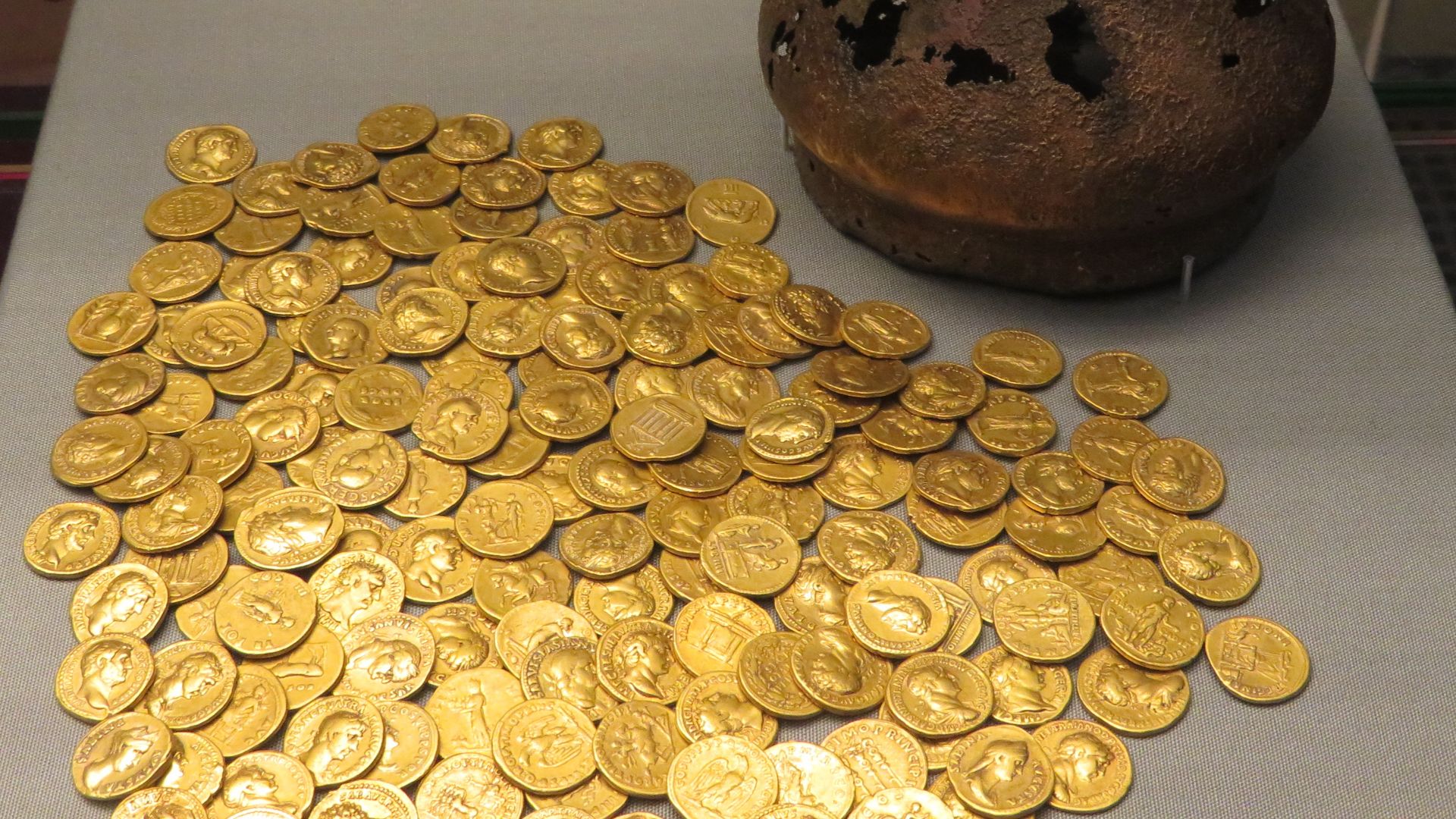
If this was a port, it was not surviving on local fishing alone. Ports thrive on movement: people, coins, ideas, and luxury goods that do not belong to the coastline they land on. The question that hangs over the ruins is which networks were using this harbor, and how far those ships really sailed.
Tamilakam’s Seaborne Wealth
Early historic South India, often called Tamilakam in scholarship, is known for active ocean trade. Ancient sources describe pepper, pearls, textiles, and other high-value goods moving in and out of the region. A submerged port near the Kaveri River delta fits that bigger story.

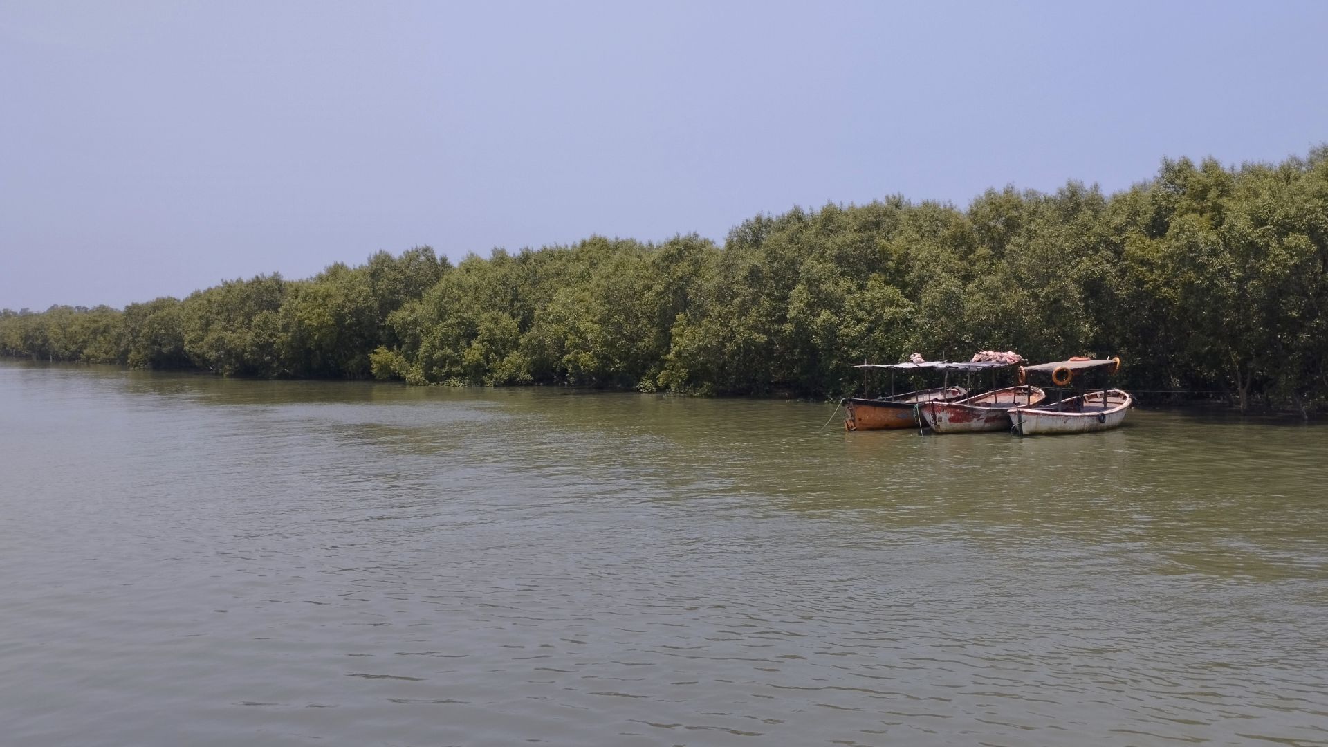
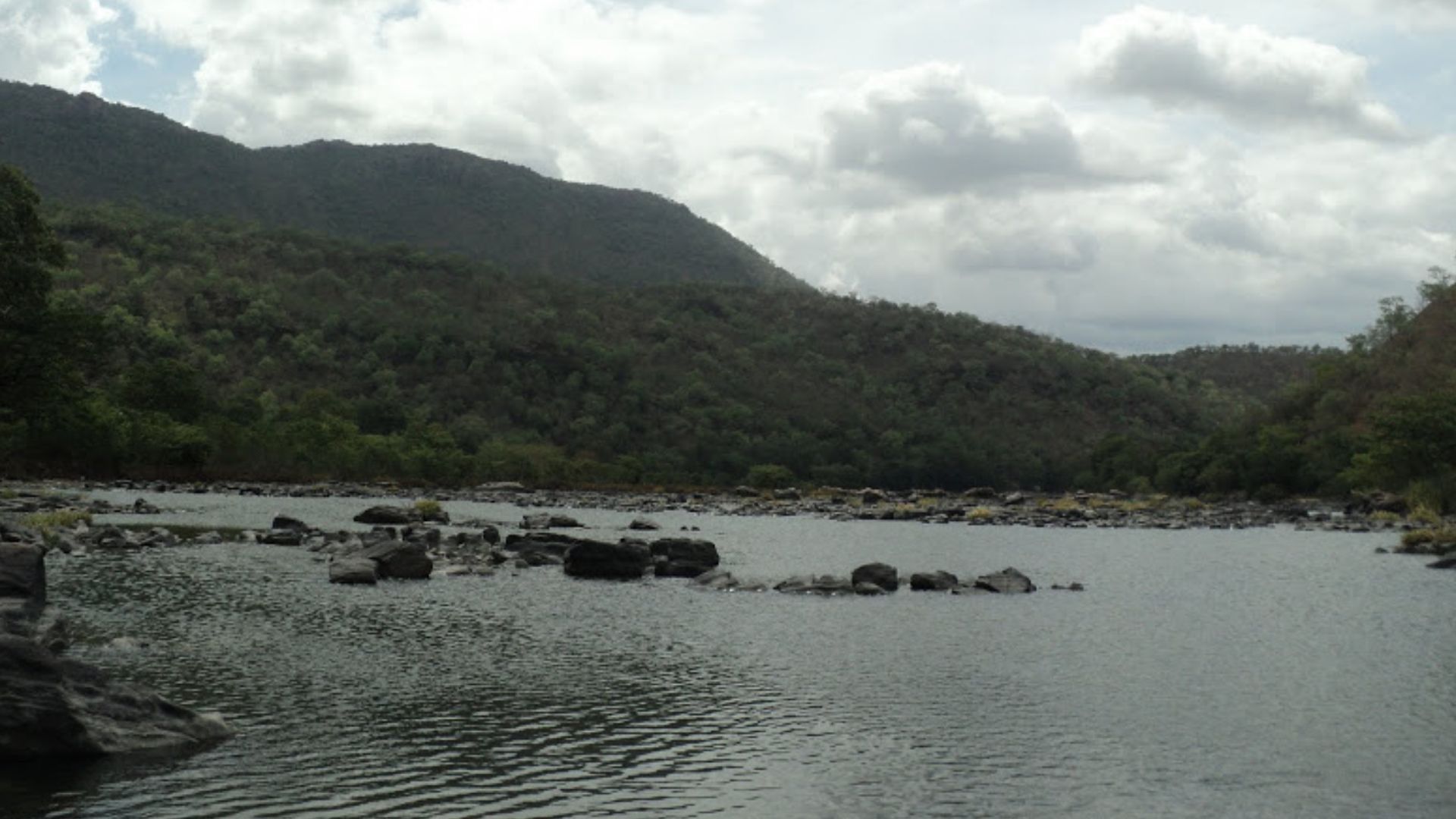
The Kaveri River’s Quiet Power
Ports near river mouths have an advantage because rivers pull inland resources toward the sea and maritime trade routes. The Kaveri delta supported dense settlement and agriculture, which would have fed the sailors and merchants passing through the ancient seaport.
 Karthik Prabhu, Wikimedia Commons
The Sea Level Problem No One Can Ignore
Coastlines are constantly shifting and eroding, if only on the scale of lifetimes. Ancient maps are a clear example of this. Archaeologists studying Poompuhar have linked the site’s submergence to coastal change and high-energy events like monsoons. These factors erode and drown low-lying settlements like Kaveripattinam, which lies 30km east from the modern-day city.
 Destination8infinity, Wikimedia Commons
When Nature Hits A Trade Capital
Ports are built at the edge of stability. They benefit from open water, but take the full force of cyclones, storm surges, and coastal erosion. A trading city can be rich and fragile at the same time, and Poompuhar’s story seems to follow that rule.
Why This Is Not Atlantis Talk
The Poompuhar work is grounded in standard underwater archaeology methods, not myth hunting. Researchers map, cross-check, and only then dive to validate targets. The result is a grounded picture of submerged cultural remains, not some fantasy Indian Atlantis that was angrily swallowed by the sea.

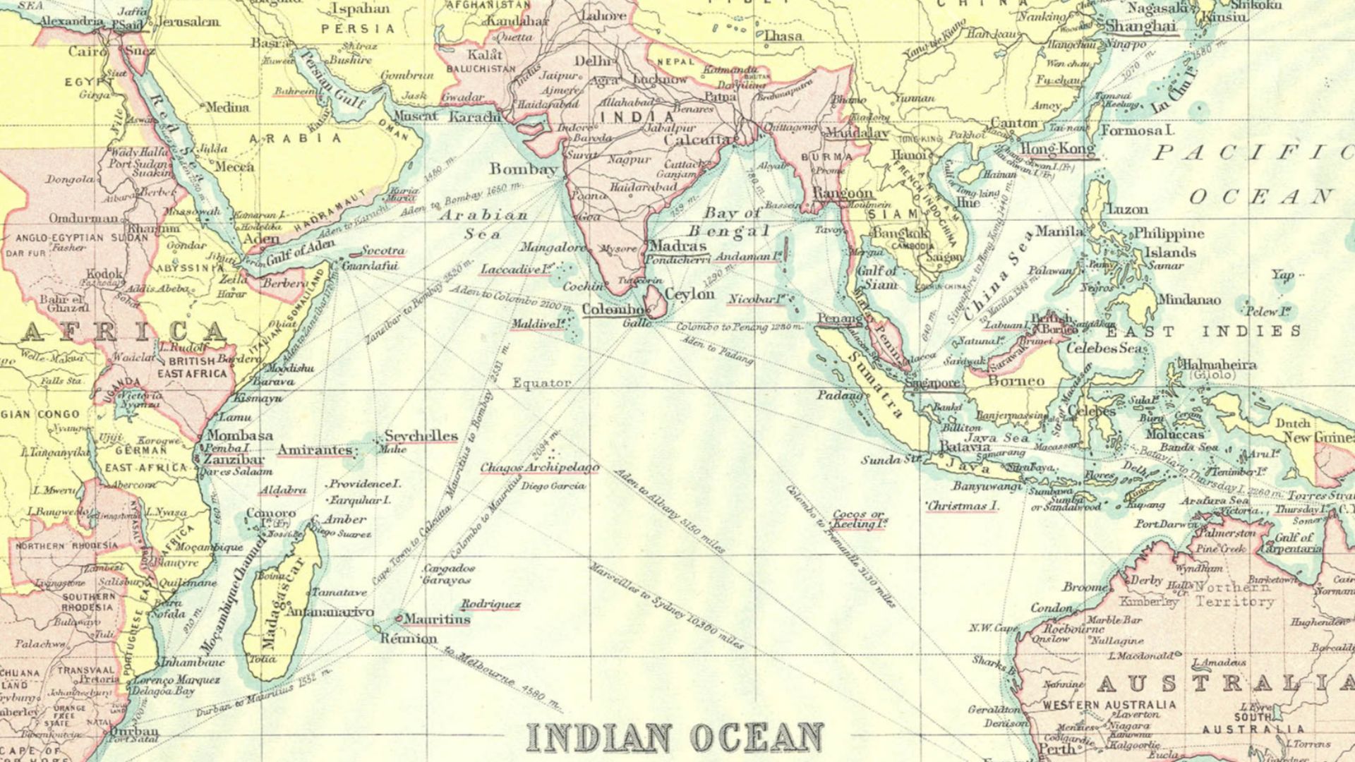
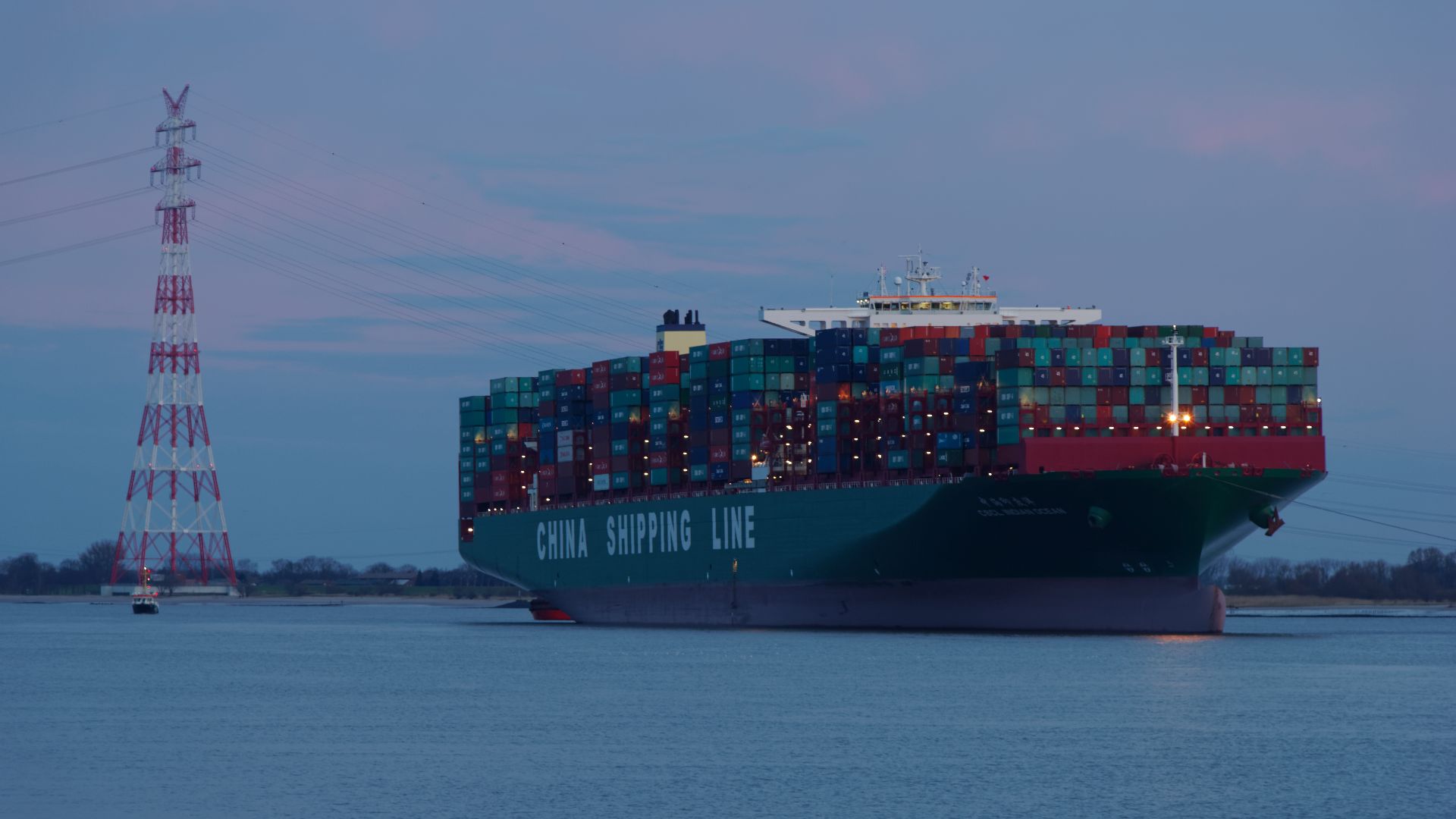
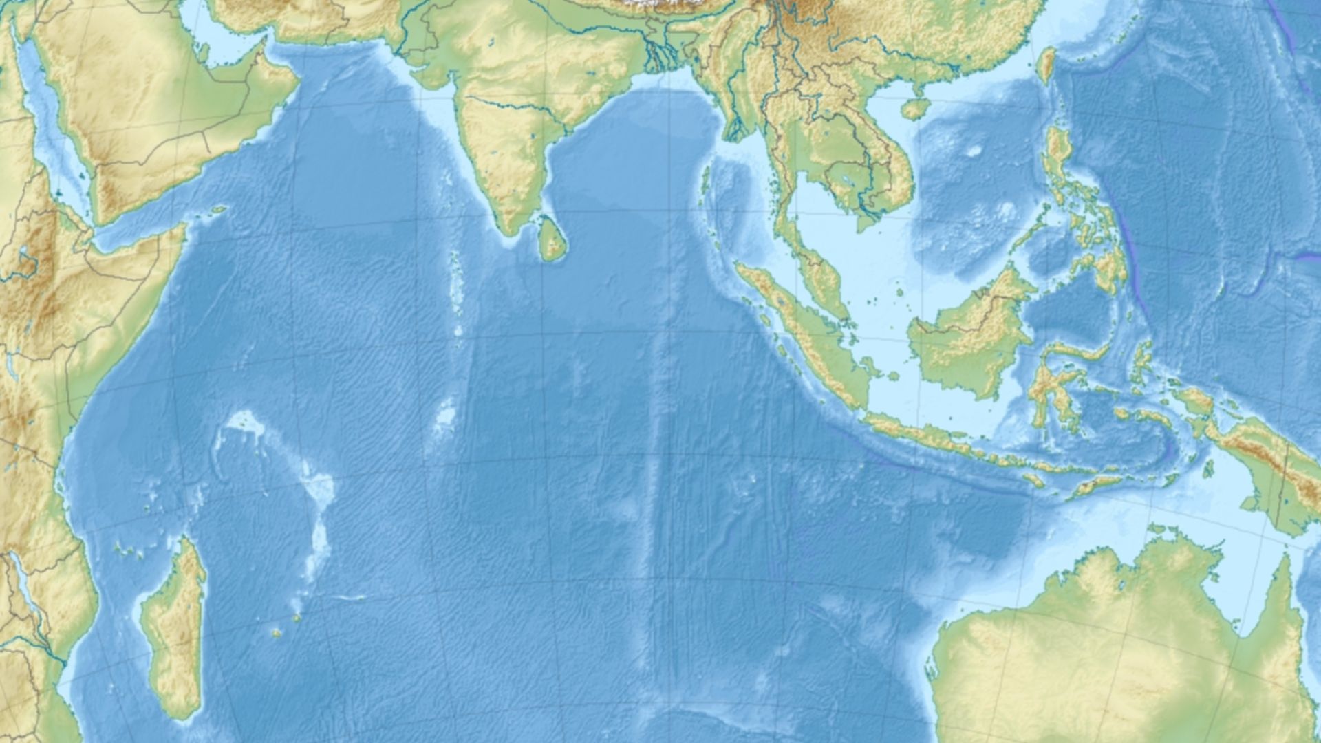
The Ancient Indian Ocean Was A Busy Place
By the early centuries CE, the Indian Ocean connected Africa, Arabia, South Asia, and Southeast Asia through seasonal monsoon sailing. Scholars have long known India played a central role in this system. The submerged port city off modern Poompuhar shows what that looked like on the ground—or at least, what used to be on the ground.
 John Bartholomew and Co., Wikimedia Commons
Ships That Rode The Monsoon Clock
Monsoon winds made ocean travel in the Indian Ocean predictable if sailors timed departures right. That reliability encouraged long-distance trade and repeat routes and made India a global center of trade. Ports that could service ships quickly and safely became essential stops, and that is the kind of lucrative role Kaveripattinam likely played.
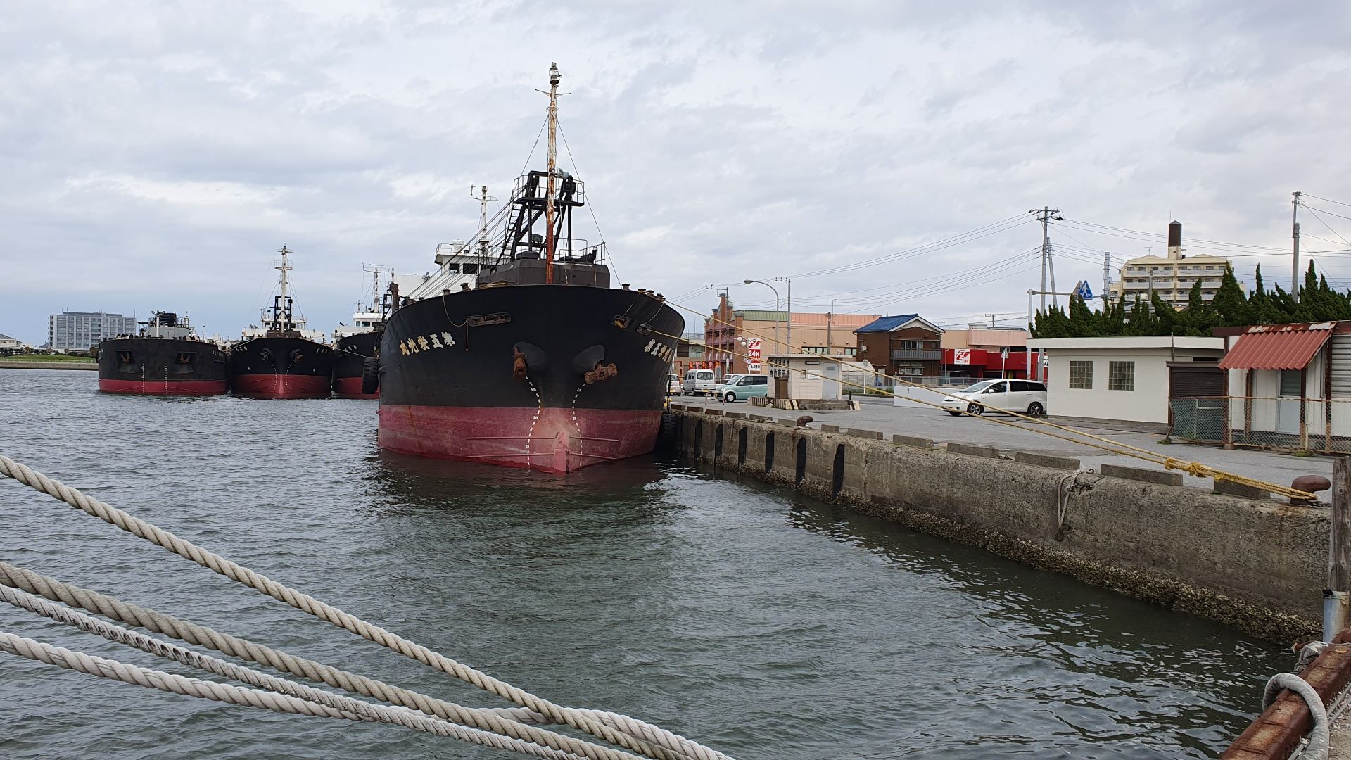
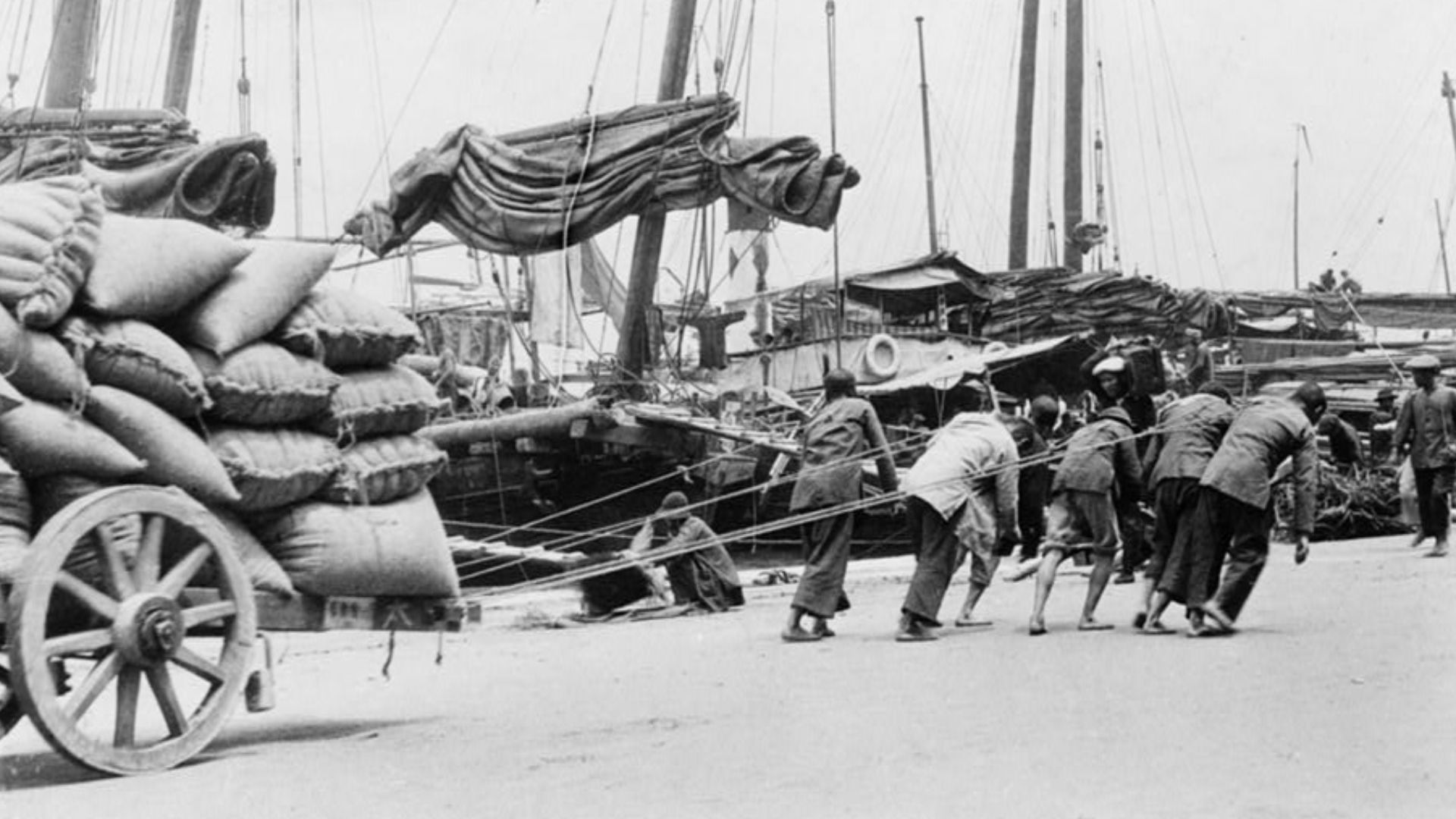
Goods With High Stakes And Higher Markups
Long-distance maritime trade focused on items worth the risk. South India’s spices, pearls, and fine textiles were valuable across the ocean world. The drowned port hints at the infrastructure that once protected, stored, and moved those goods.

The People Behind The Cargo
Ports attract more than merchants. Sailors, dock workers, moneylenders, temple staff, translators, and local officials all crowd the same waterfront. The submerged remains on the seabed off Poompuhar’s seabed are all that remains of a vibrant place where social life and commerce were tangled together.
 Unknown authorUnknown author, Wikimedia Commons
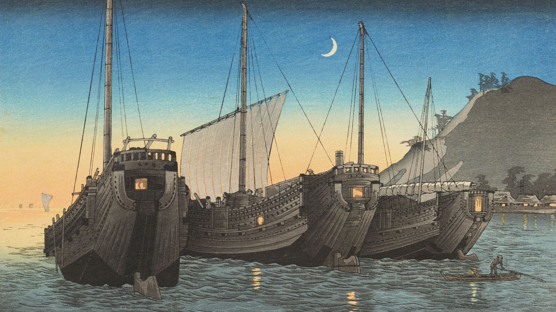
The Scandal Potential Of A Port Town
Where money moves fast, so do rivalries. Ancient ports were known for disputes over taxes, cargo claims, and access to ships. The records for this specific city are fragmentary, but the setting itself suggests a place where power and profit could collide.
 Museum of New Zealand Te Papa Tongarewa, Unsplash
What The Finds Can And Cannot Prove
Underwater structural features can show that people built here, but they do not automatically reveal dates or the city’s ancient name. Dating requires recoverable material and careful lab work, along with scholarly work on historical sources. Shapes on a sonar screen are only the beginning.
It was this work that archaeologists to announce that a significant coastal settlement lies submerged off Poompuhar.
 Yulia Kolosova, Wikimedia Commons
The Stakes For Indian Archaeology
India has many ancient coastal sites, but underwater cities are harder to document and protect. The race is on to map and document this submerged port so historians can build a more detailed picture of early South Indian trade. It also raises urgent questions about what else lies offshore, unseen and unguarded.
 Destination8infinity, Wikimedia Commons
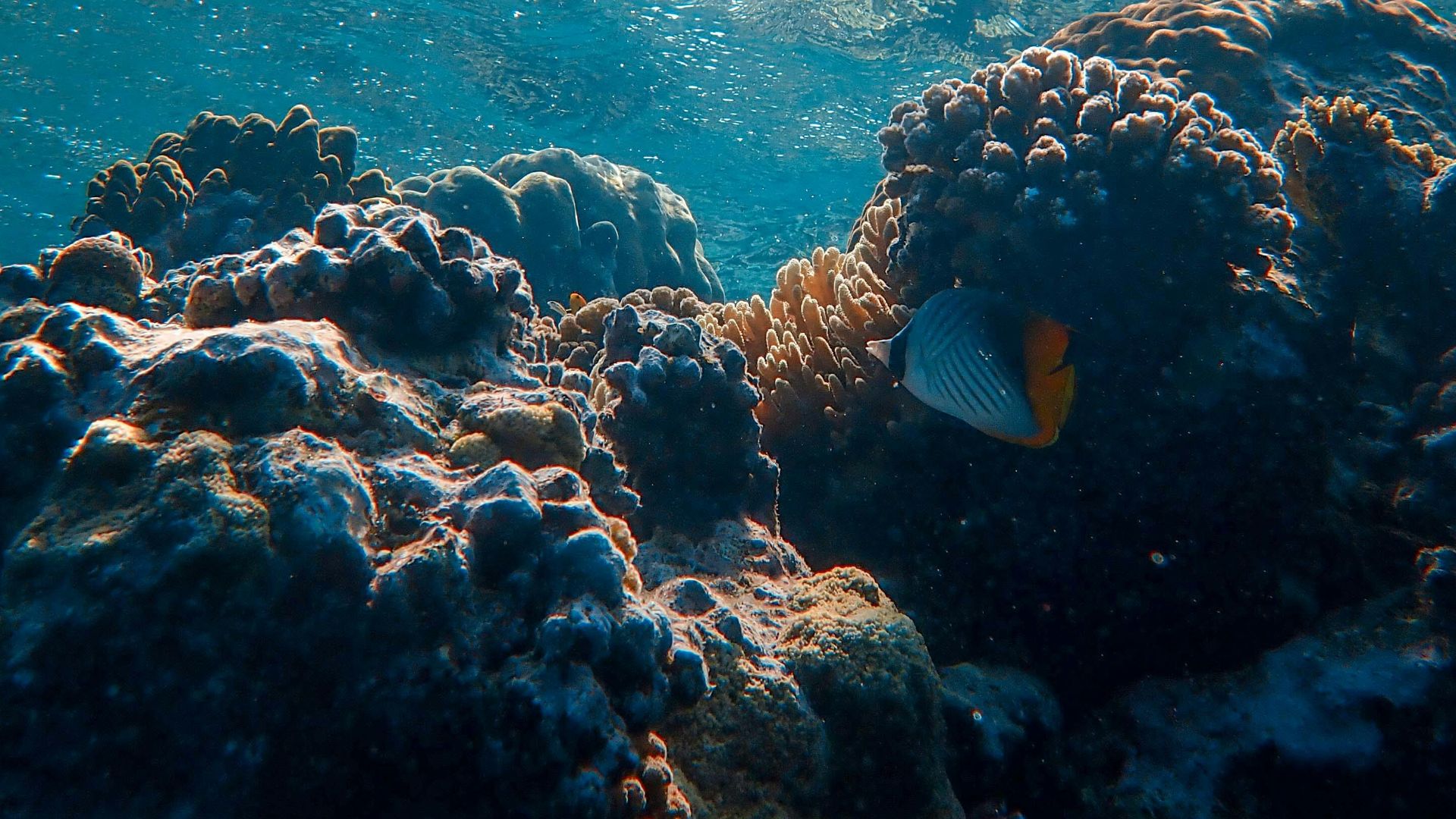
The Threats Lurking Over The Ruins
Submerged sites face damage from fishing gear, coastal development, and of course, natural erosion. Once a feature is broken or scattered, essential context is lost. That makes systematic mapping and protection policies as important as the discovery itself.
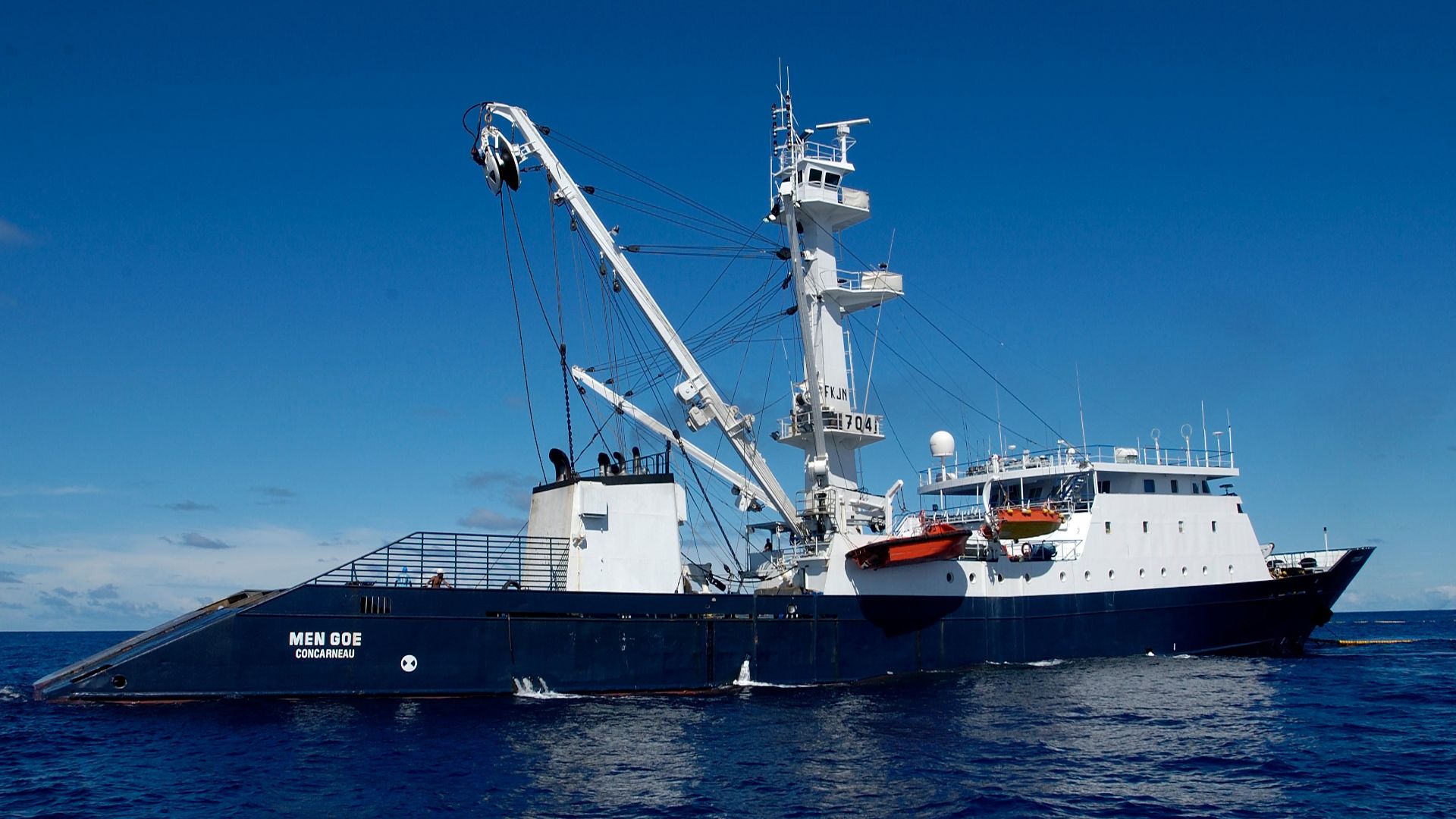 Marc Taquet, Wikimedia Commons
How Researchers Build A City From Clues
Underwater archaeology often begins with remote sensing, followed by targeted dives, photography, and selective sampling. The goal is to connect features into a coherent plan while disturbing as little as possible. Each season of work can shift interpretations, and that is part of the tension.
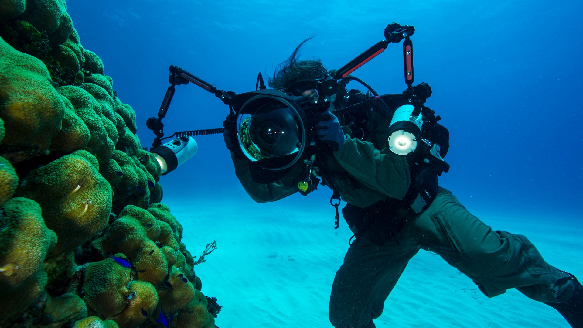 U.S. Navy photo by Mass Communication Specialist 3rd Class Wyatt Huggett/Released, Wikimedia Commons
The Question That Will Not Go Away
Since this site appears to be a major port, it should connect to wider trade evidence across the Indian Ocean world. Scholars will be looking for links in material culture, shipping patterns, and historical references that match what is underwater. The ruins are quiet, but they are starting to pull history into their orbit.
 Uwe Dedering, Wikimedia Commons
What Comes Next In The Search
Future work will likely focus on tighter mapping, better dating, and clearer identification of architectural layouts. The biggest payoff would be securely dated artifacts tied to specific structures. Until then, the site sits offshore like a half-told secret, waiting for the next survey line to cross it.

A Lost Port, And A Map Being Redrawn
The submerged remains off Poompuhar show that ancient India’s vast maritime story still has missing chapters. Though just a small settlement now, the remains paint a picture of a time when great ships once arrived to trade exotic foreign cargo and for valuable South Indian exports, before setting off again around the Indian Ocean world.
 Destination8infinity, Wikimedia Commons


