
Rediscovering A Battlefield Lost To Time
For over a thousand years, historians have argued about where one of the most decisive battles in early Islamic history actually took place. The Battle of al-Qadisiyah changed the course of empires—but no one could say exactly where the armies met. Now, a team of archaeologists has used a surprising new tool to solve the mystery: declassified spy satellite images from the Cold War.
The Battle That Changed Everything
The Battle of al-Qadisiyah, fought around 636 CE, was the showdown between the expanding Arab Muslim forces of the Rashidun Caliphate and the mighty Sassanian Persian Empire. It wasn’t just another battle—it marked the fall of Persia’s centuries-old dynasty and opened the door for Islam’s spread across Mesopotamia.
 NASA/METI/AIST/Japan Space Systems, and U.S./Japan ASTER Science Team, Wikimedia Commons
The Clues Were There—But Buried
For centuries, the problem wasn’t that there weren’t descriptions. Early chroniclers wrote about canals, bridges, villages, and palm groves. The problem was too many canals, too many groves. Over 1,300 years, Iraq’s waterways have shifted dramatically, washing away the ancient landscape. Every clue historians followed seemed to lead somewhere new—and nowhere definitive.
 Osama Shukir Muhammed Amin FRCP(Glasg), Wikimedia Commons
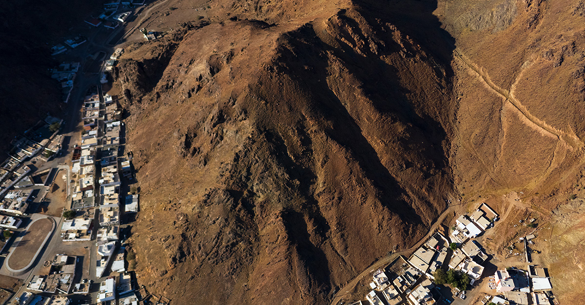
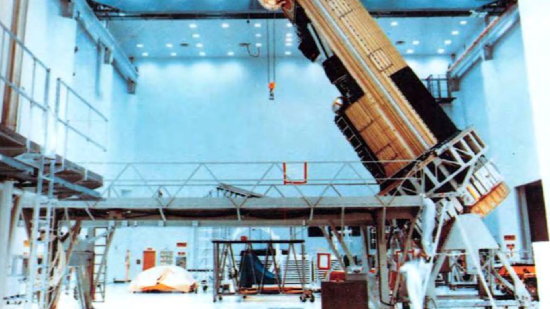
Looking To The Sky For Answers
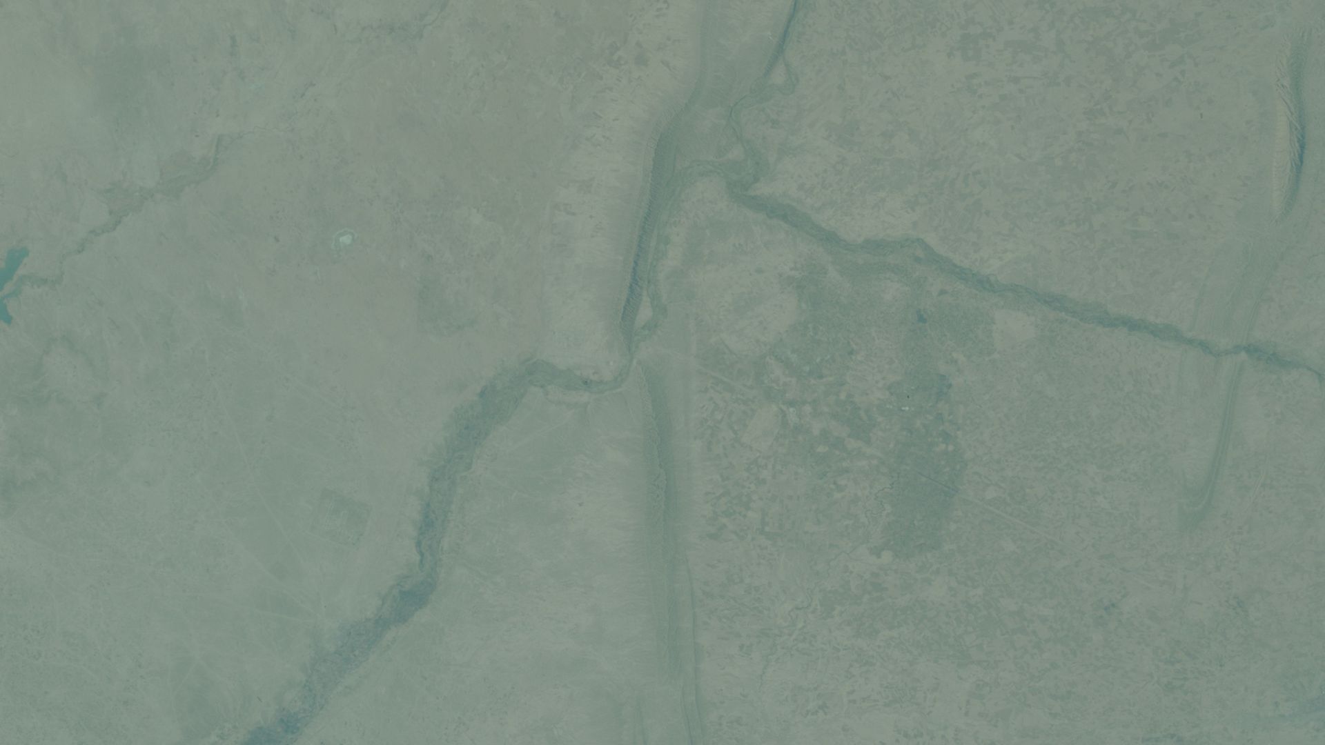
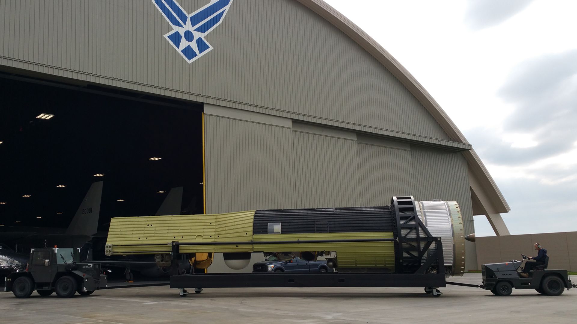
That’s when the team decided to do something radical: look at the battlefield from space. They turned to the CORONA satellite program—a series of American reconnaissance missions launched during the Cold War. These satellites, meant to keep an eye on the Soviets, also happened to photograph vast swaths of the Middle East in incredible detail.
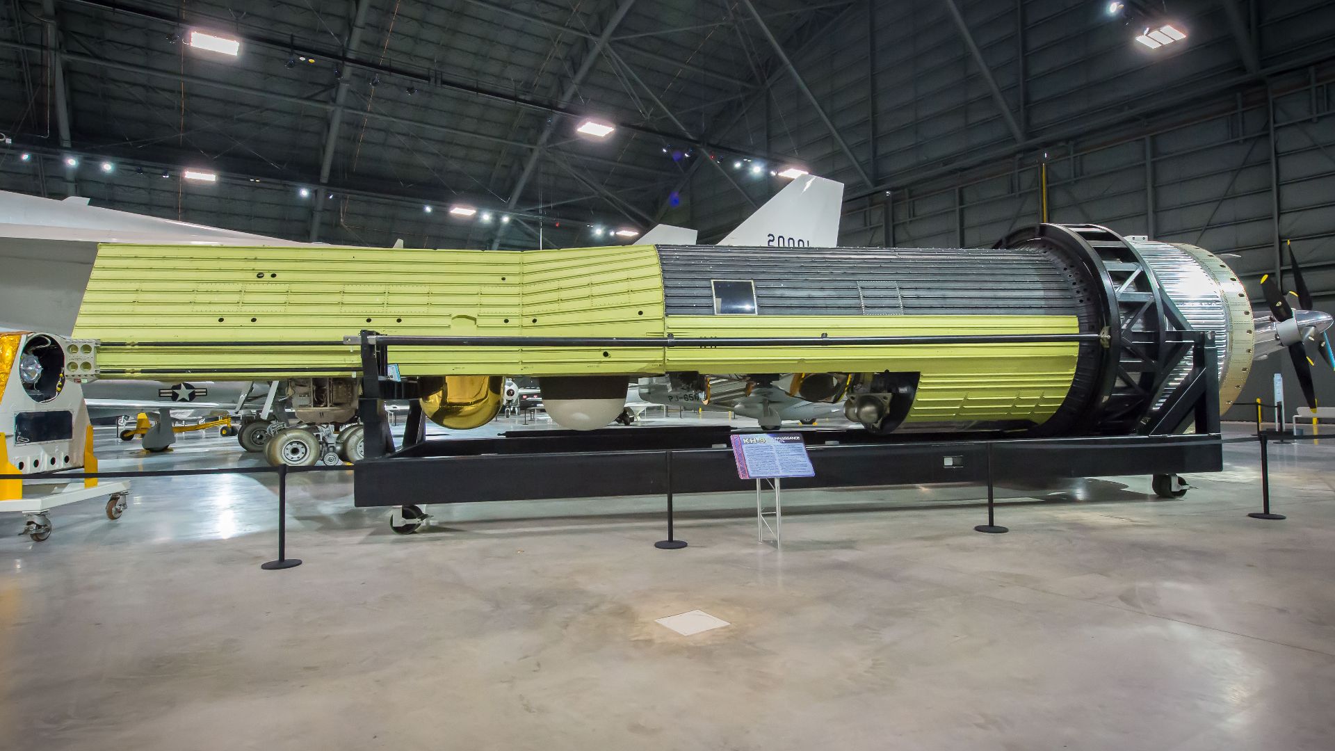 U.S. Air Force/Jim Copes, Wikimedia Commons
A Time Machine In Orbit
The CORONA program operated in the 1960s, long before Iraq’s modern development boom reshaped its farmland. The landscape those satellites captured—untouched canals, desert flats, and ancient field systems—was far closer to what existed in the 7th century. For archaeologists, that made CORONA images a kind of time capsule.
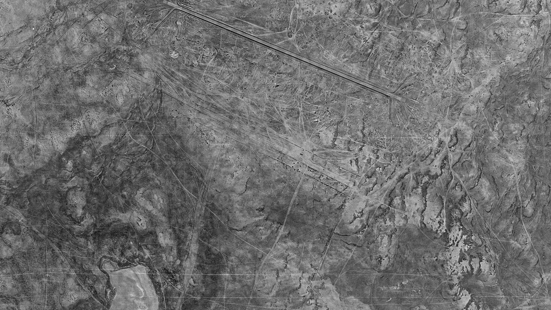 SpaceFrom.Space, Wikimedia Commons
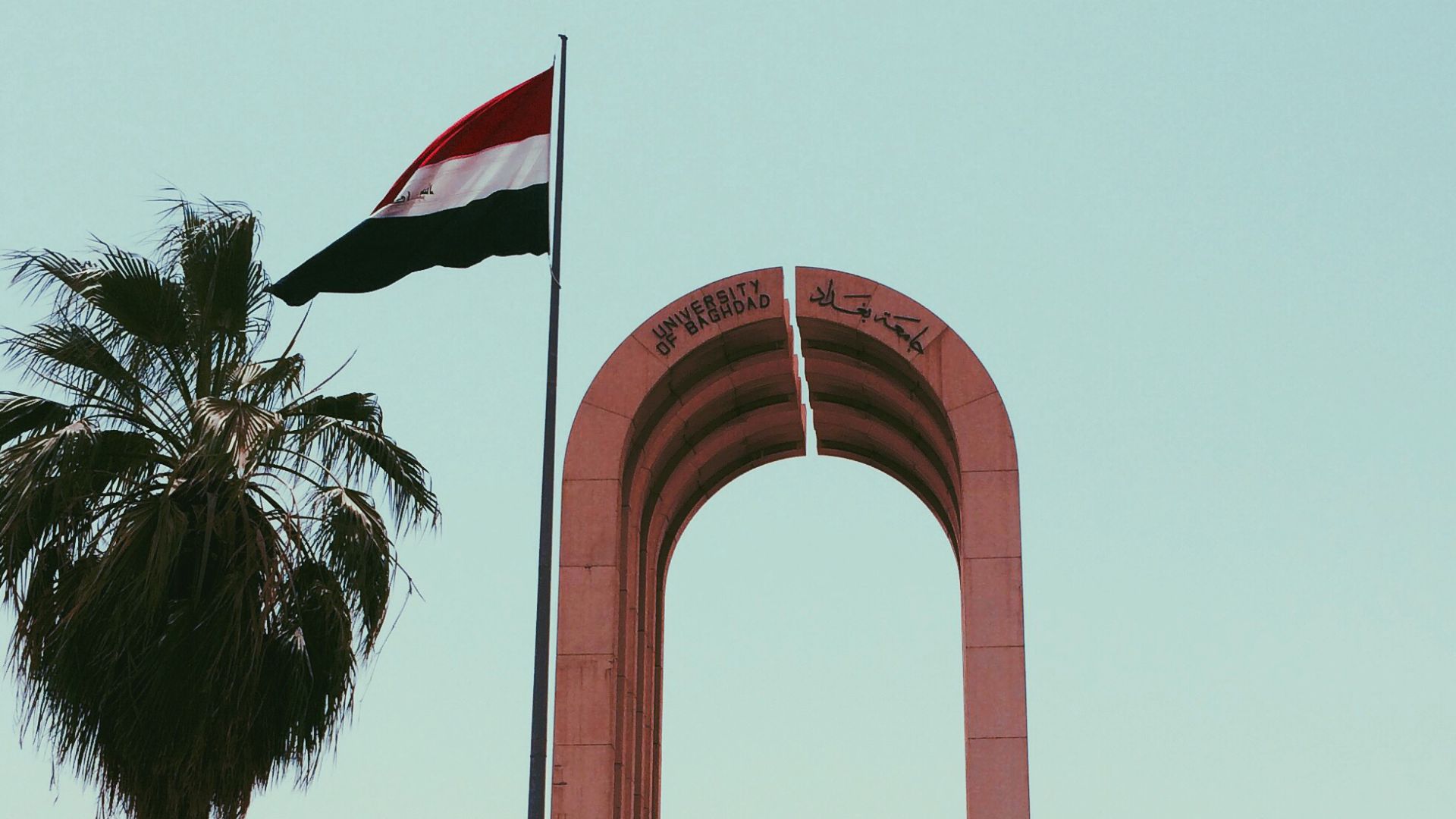
The Team Behind The Breakthrough
The discovery was the result of a three-year collaboration among researchers from the University of Baghdad, Durham University in the U.K., and the Oriental Institute in Chicago. They combined old spy photos, medieval Arabic chronicles, and modern fieldwork to narrow down the most likely site.
Reading History From Orbit
The team painstakingly overlaid the satellite imagery with historical maps and descriptions from chroniclers like al-Ṭabarī and al-Balādhurī. Gradually, patterns began to emerge—canal systems matching the ancient texts, faint outlines of settlements, and traces of causeways once used by marching armies.
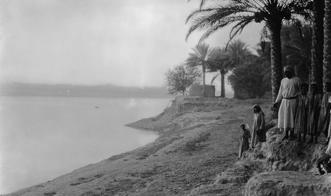 Matson Collection, Wikimedia Commons
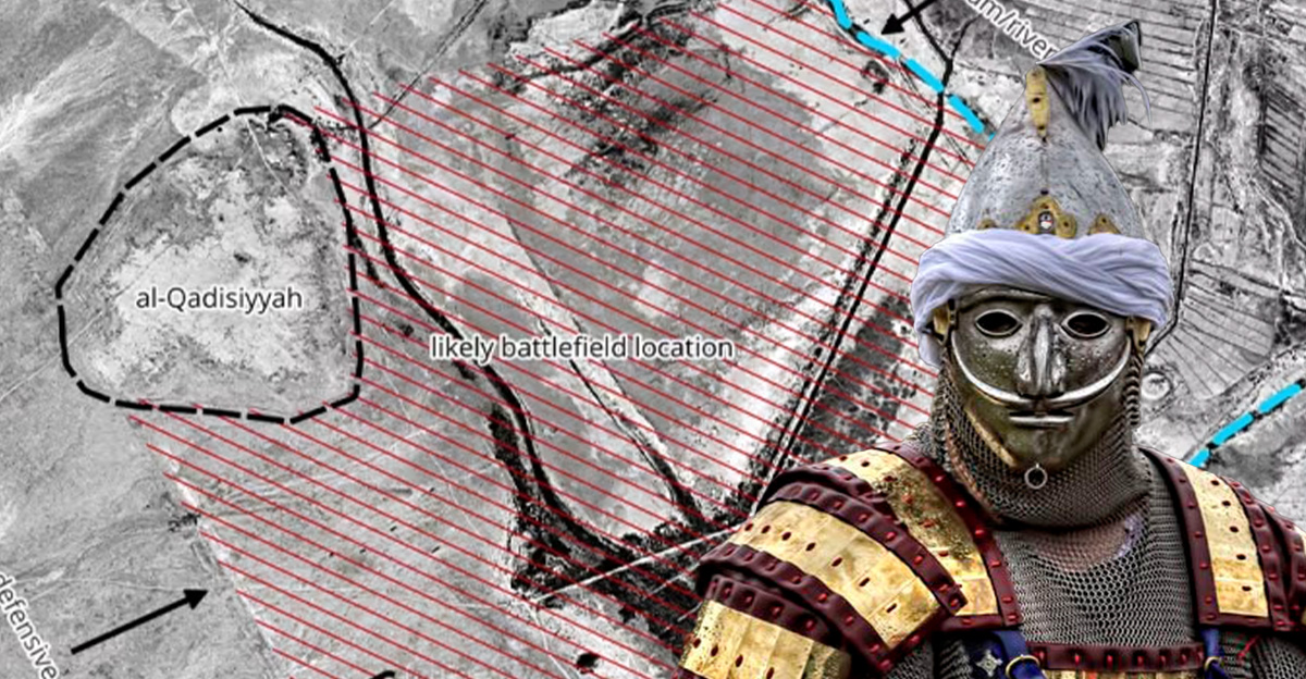
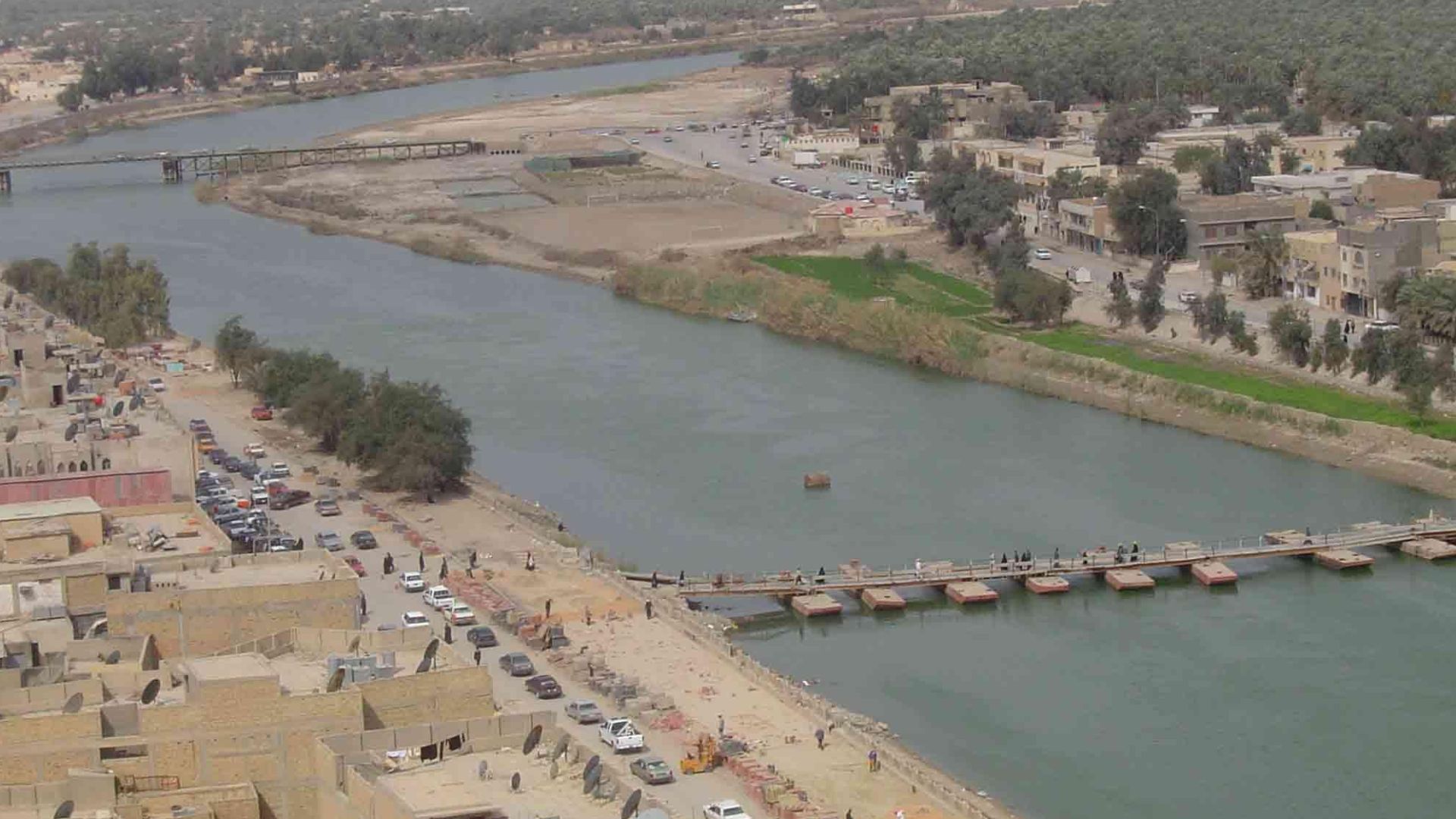
Finding The Lost Canal
One of the key pieces of the puzzle was the “Al-Ateeq Canal,” a waterway repeatedly mentioned in medieval accounts as separating the Muslim and Persian armies. On the satellite photos, researchers spotted a dry riverbed whose course matched those old descriptions almost perfectly.
 Hamody al-iraqi, Wikimedia Commons
Mapping The Heart Of The Battle
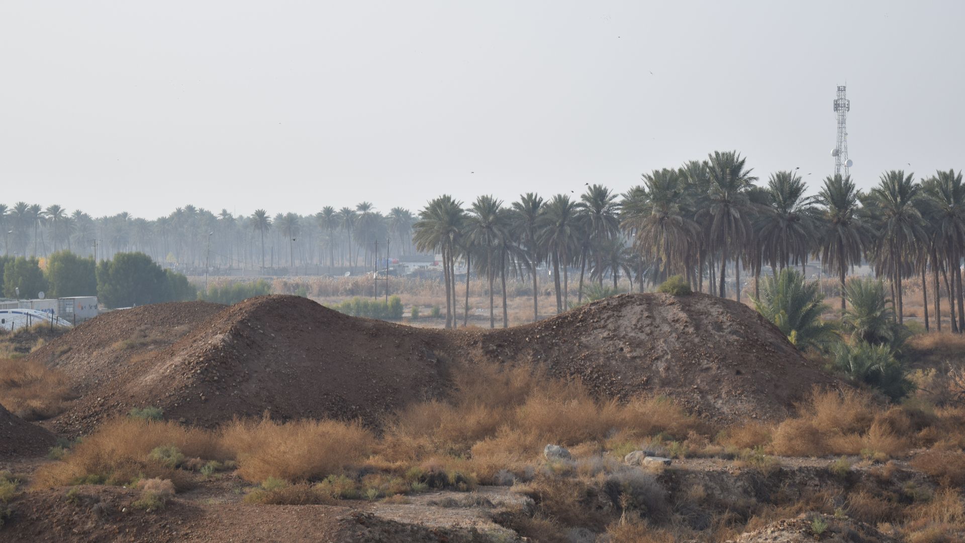
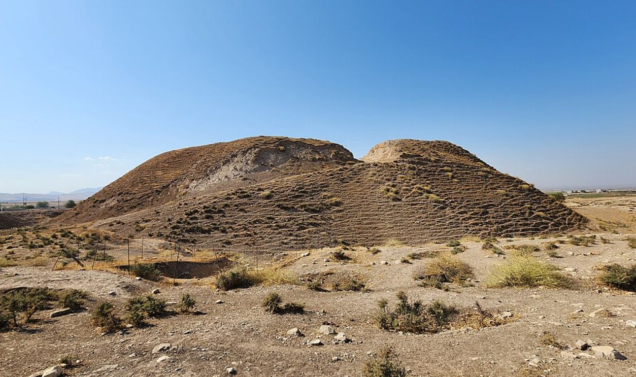
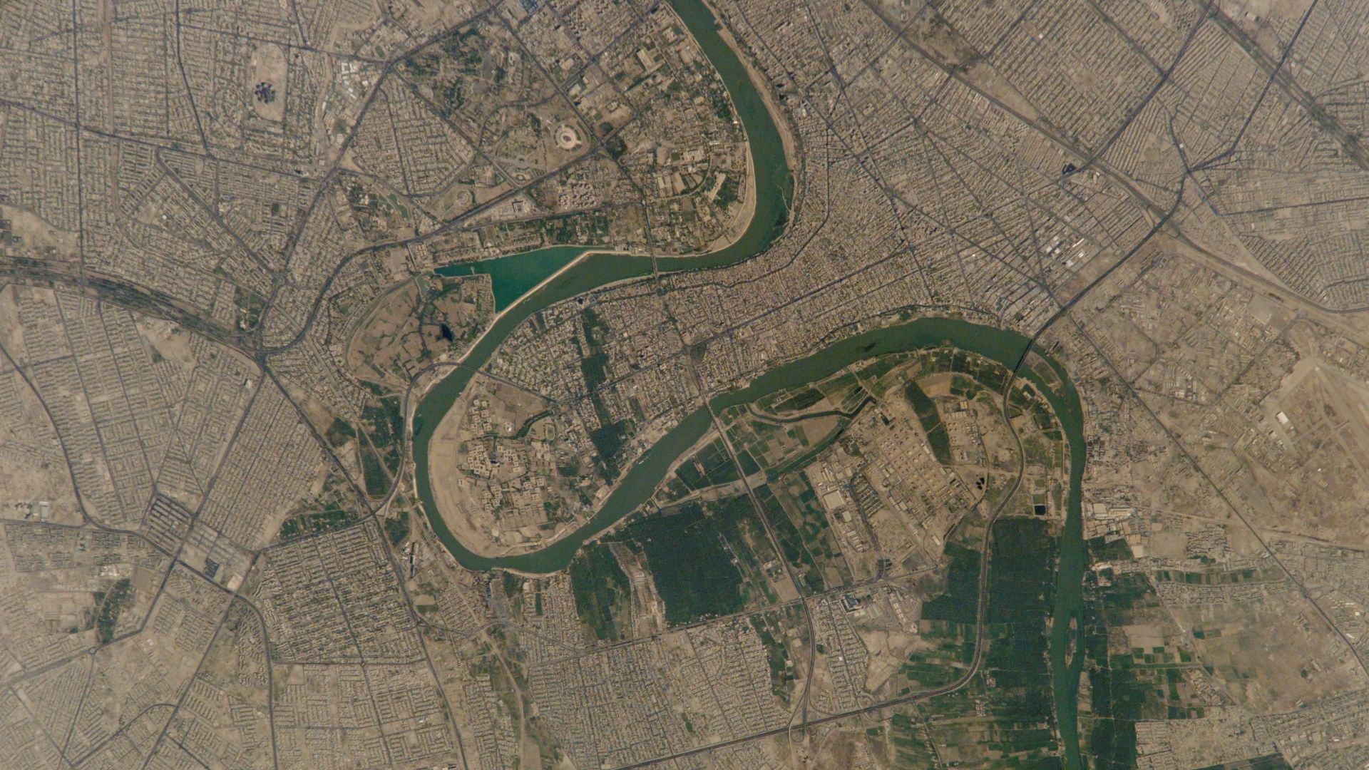
With that canal as their anchor point, the team identified a 15-square-kilometer area near modern-day al-Diwaniyah in southern Iraq that fit every clue. The soil patterns, ancient road alignments, and artifact scatter all pointed to a massive, short-term occupation—just the kind of footprint a temporary army would leave behind.
 Earth Science and Remote Sensing Unit, NASA Johnson Space Center, Wikimedia Commons
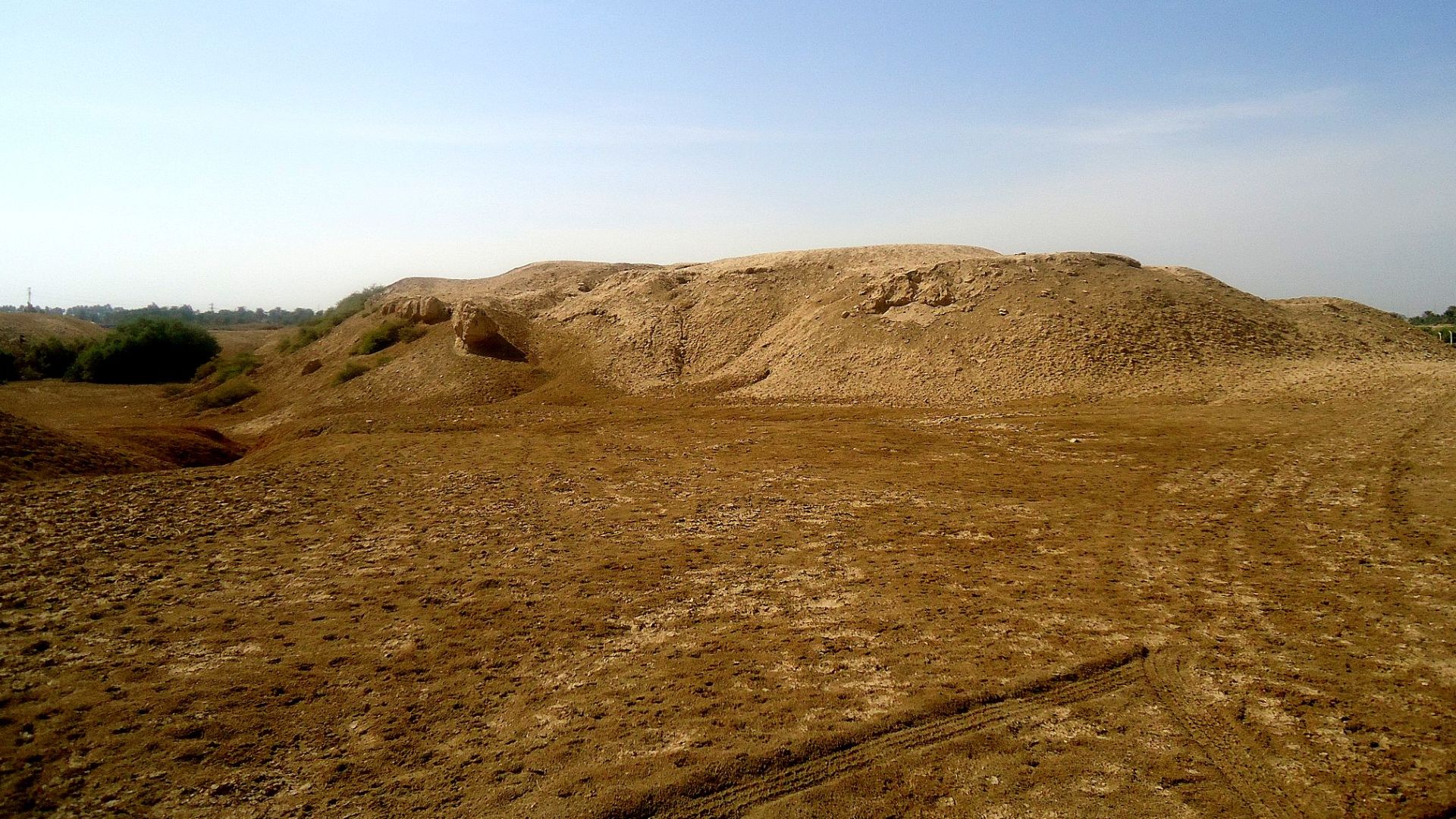
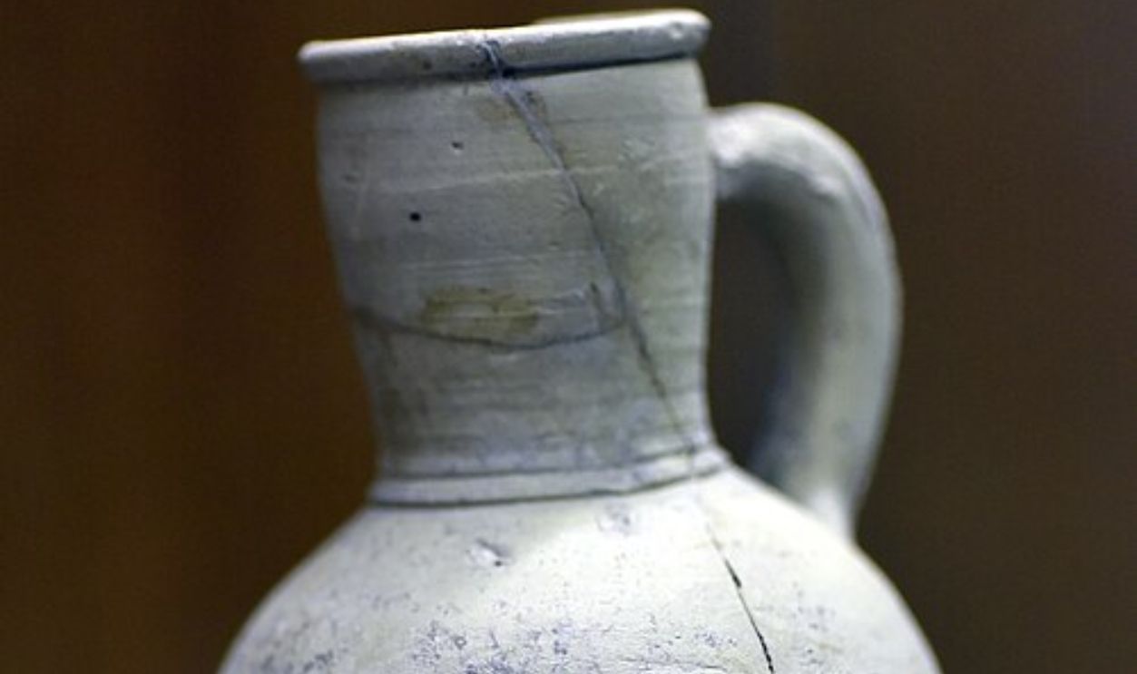
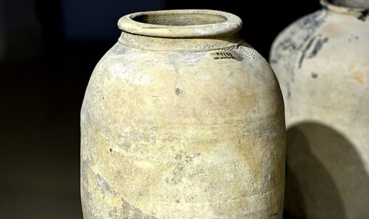
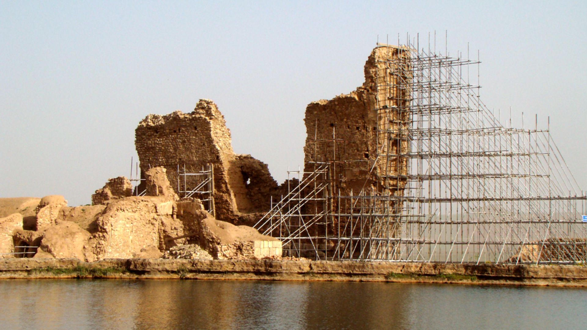
Checking The Ground
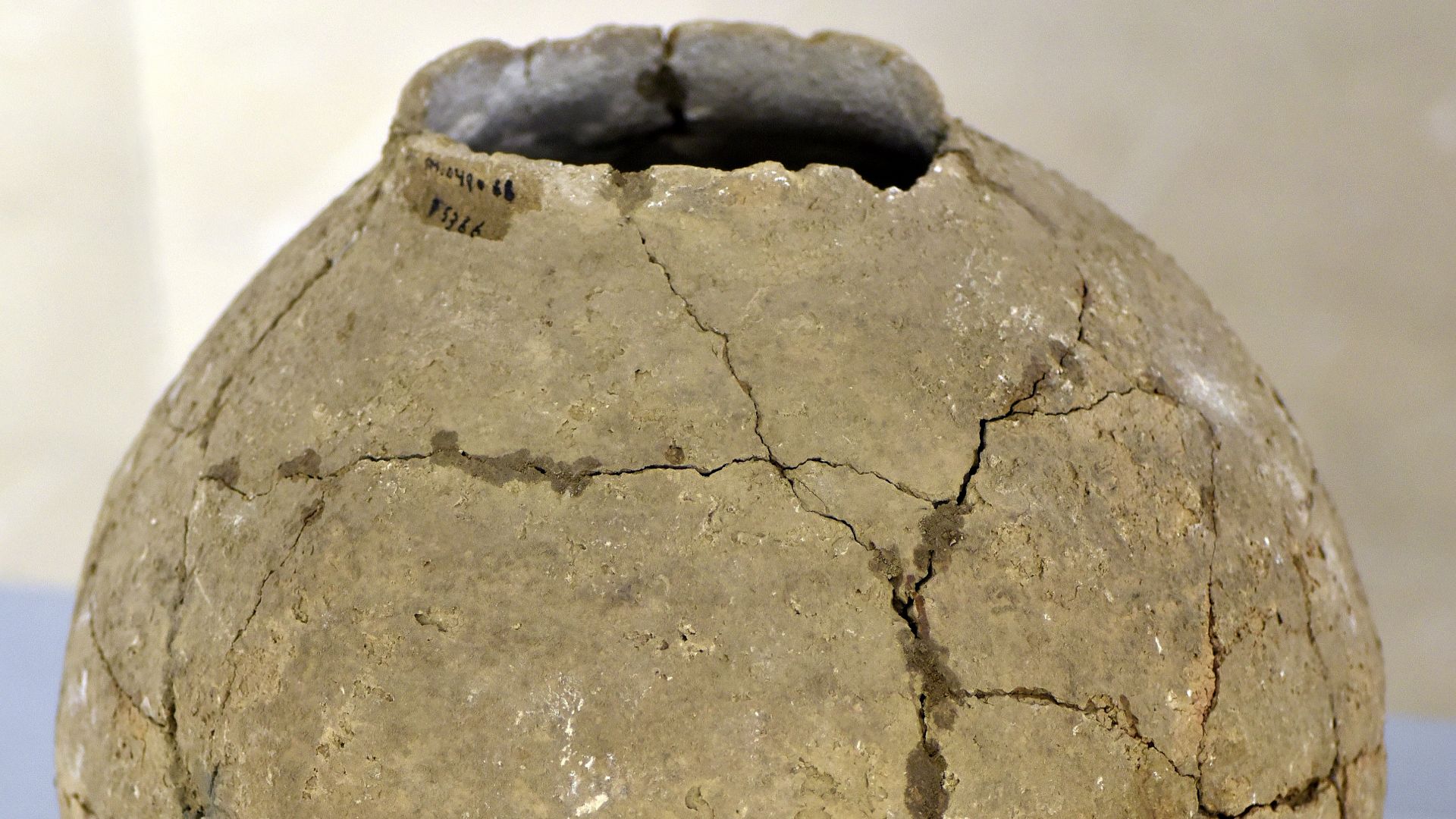
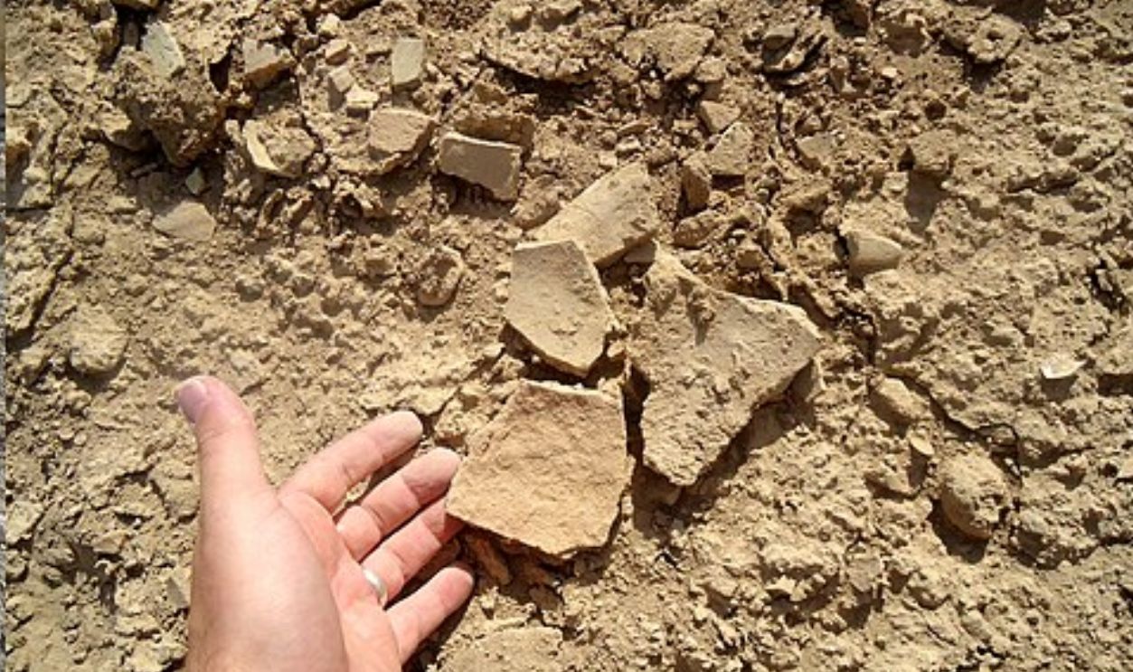
To confirm what they saw from above, archaeologists went into the field. They found broken pottery, fragments of weaponry, horse fittings, and bits of armor typical of Sassanian military equipment. It wasn’t a treasure trove, but it was solid evidence—proof that this ground had seen soldiers.
 Osama Shukir Muhammed Amin FRCP(Glasg), Wikimedia Commons
Ghosts Beneath The Sand
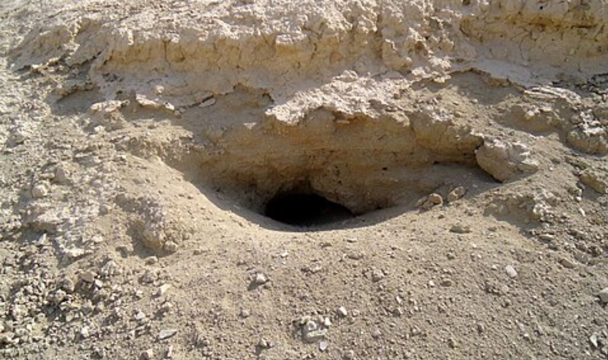
In some trenches, they also uncovered layers of ash and human remains, burned and scattered in ways that suggest violent conflict. Radiocarbon dating placed those remains in the 7th century—the exact period of the battle described in the texts.
 Osama Shukir Muhammed Amin FRCP(Glasg), Wikimedia Commons
When Spy Satellites Meet Shovels
Using old reconnaissance photos for archaeology isn’t new, but this might be the most dramatic example yet. What once helped map missile silos now helps uncover the story of two empires. The fusion of military technology and archaeological science continues to reshape how we find the past.
 Osama Shukir Muhammed Amin FRCP(Glasg), Wikimedia Commons
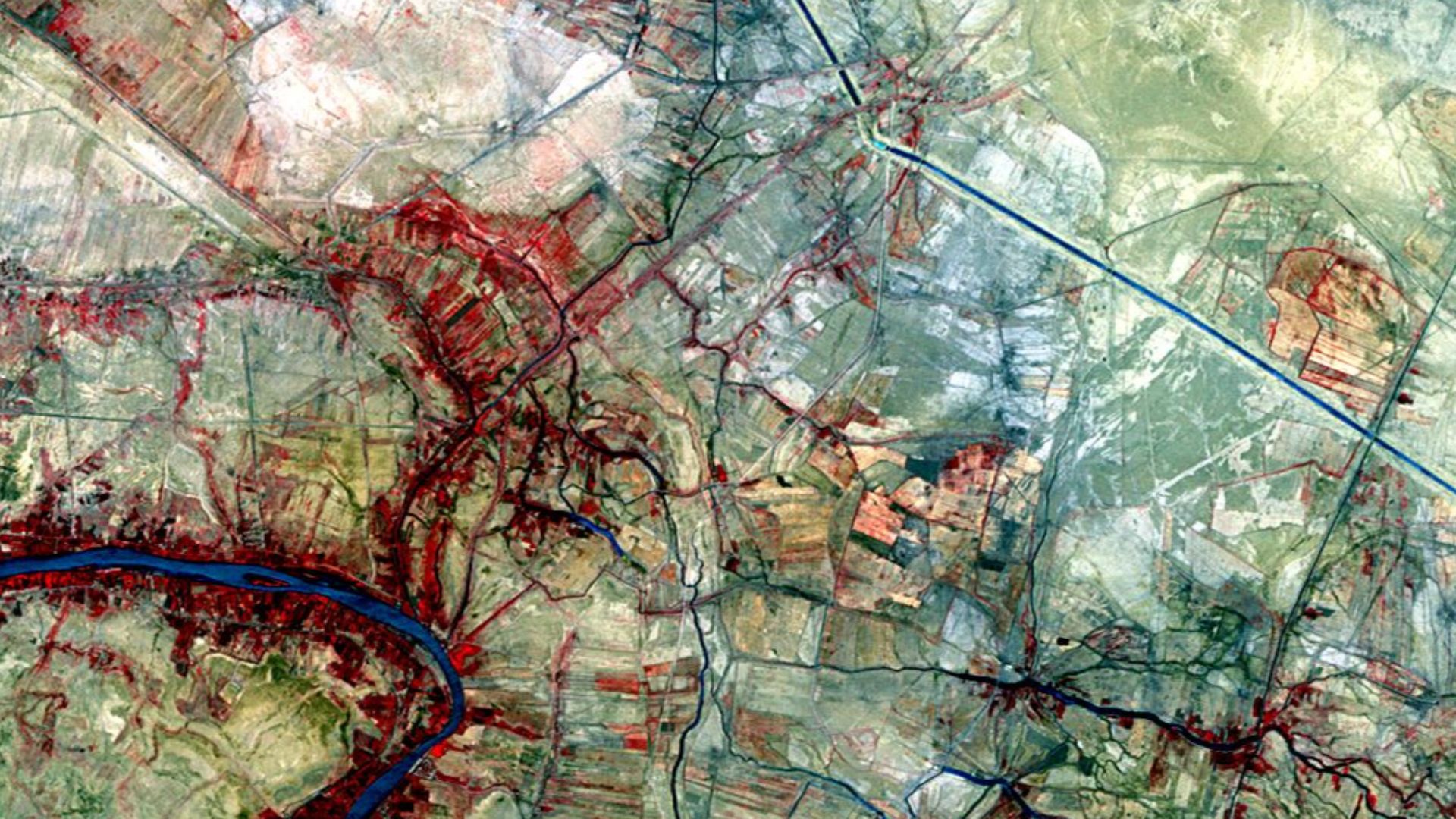
History Matches The Landscape
Early chronicles describe al-Qadisiyah as being near “a canal between two villages, lined with reeds and palms, near the road to al-Hira.” The CORONA images show precisely that—a network of ancient canal beds and faint palm grove patterns. It was as if the old writers had been leaving coordinates all along.
 Kamāl ud-Dīn Behzād, Wikimedia Commons
Recreating The Clash
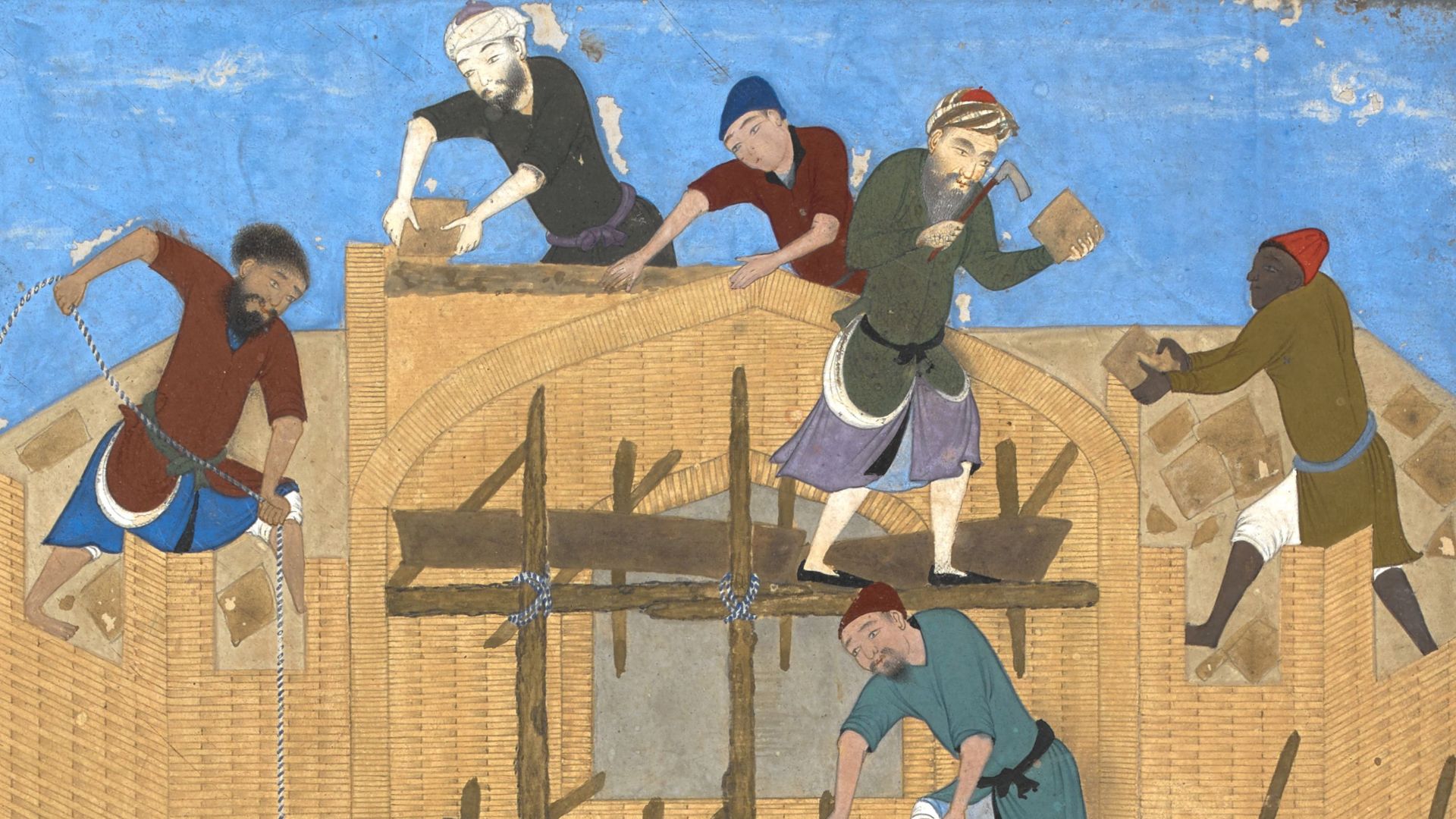
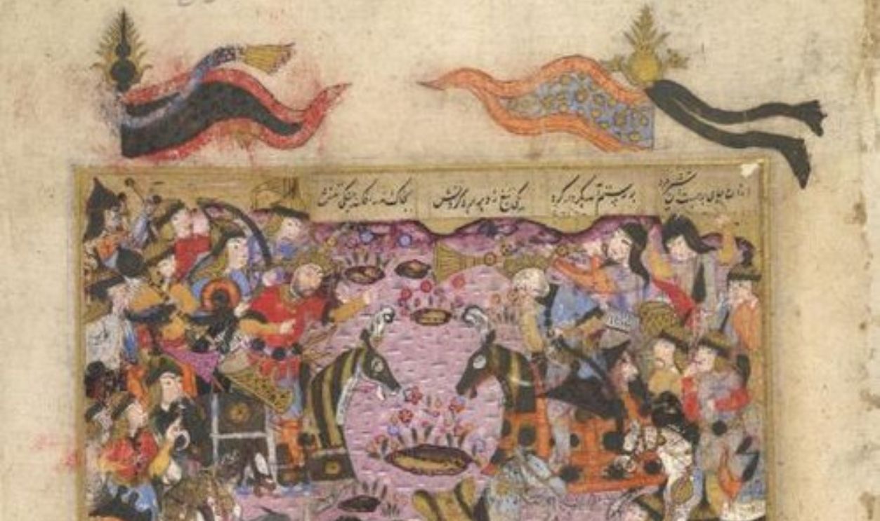
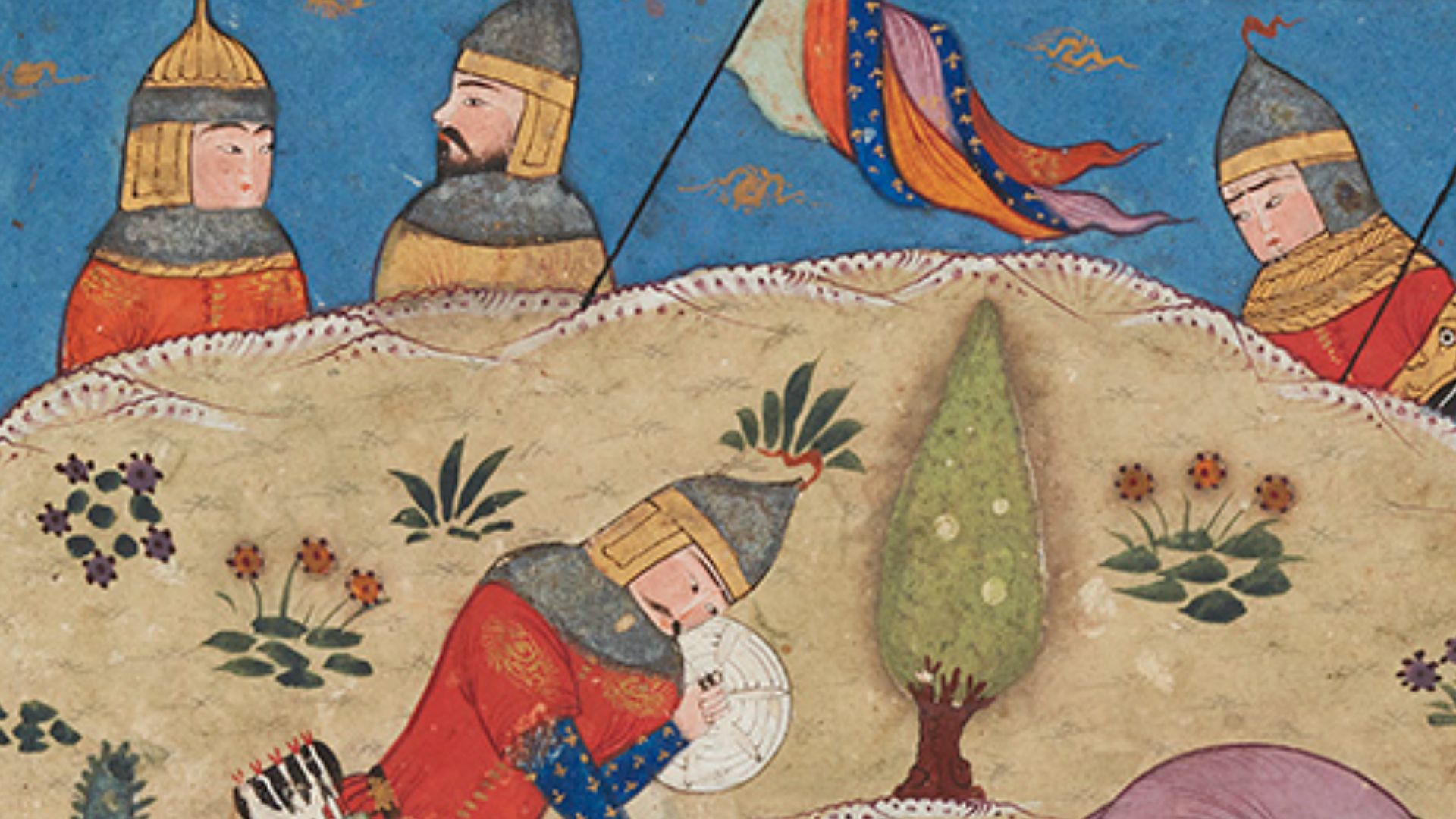
According to the sources, the battle raged for several days. The Persian general Rostam Farrokhzad commanded a heavily armored army, while the Muslim general Sa’d ibn Abi Waqqas led fast, mobile cavalry. When a sandstorm swept the plain, the tide turned—Rostam was killed, and the Persians were routed.
Traces of fire pits, trenches, and chaotic burials in the area fit the scene perfectly.
 Osama Shukir Muhammed Amin FRCP(Glasg), Wikimedia Commons
Why It Still Matters
The outcome of al-Qadisiyah was monumental. It ended centuries of Sassanian rule and permanently shifted the balance of power in the region. It also began a process of cultural exchange and transformation that would shape the Middle East for centuries to come.
 Unknown author, Wikimedia Commons
A Window Into Early Islamic Warfare
This site offers something rare: a tangible look at early Islamic military logistics. How did these armies move through the irrigation canals and marshes? How did they camp, eat, and fight? The answers lie not just in the chronicles but in the soil itself.
 Osama Shukir Muhammed Amin FRCP(Glasg), Wikimedia Commons
Archaeology’s Satellite Age
Satellite archaeology has gone from a clever experiment to an essential part of Middle Eastern research. In regions where it’s difficult—or dangerous—to dig, these images offer a safe, non-invasive way to study ancient landscapes before they disappear to farming or construction.
 National Reconnaissance Office, Wikimedia Commons
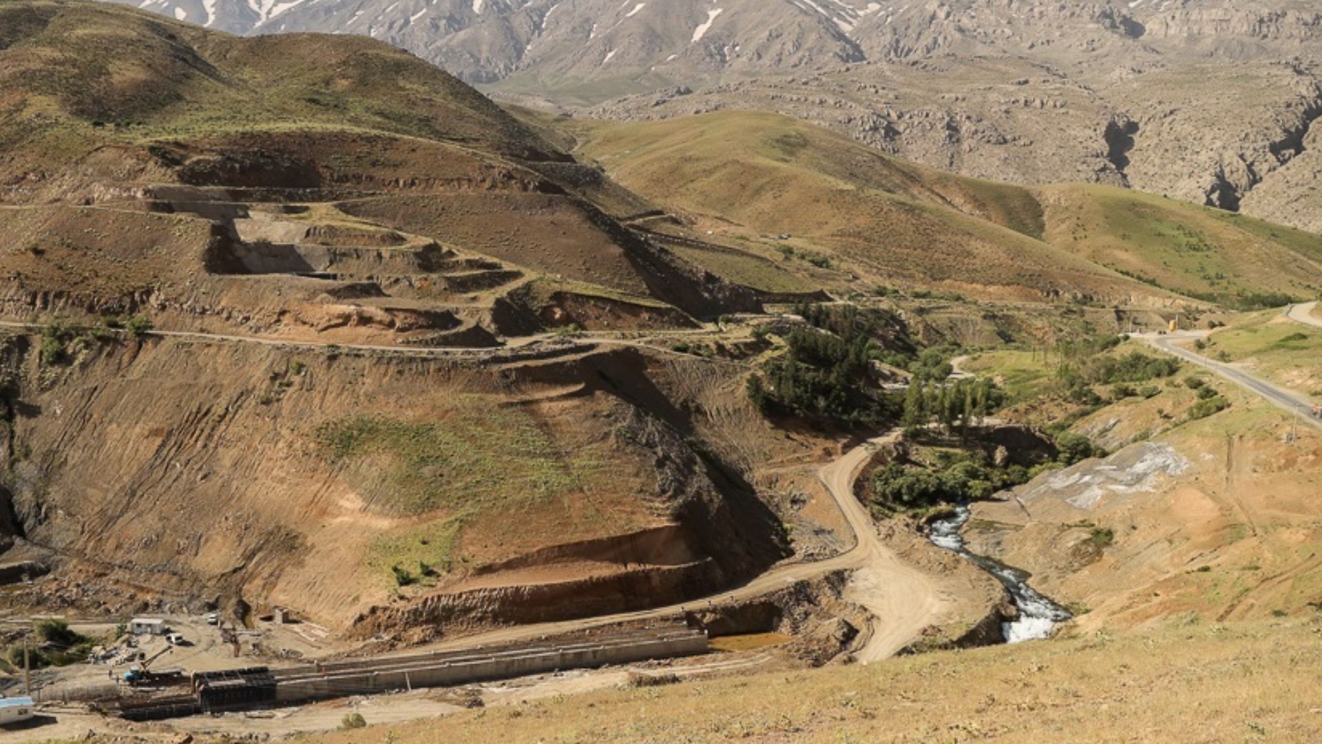
Rebuilding The Ancient Waterways
By tracing the old canal beds, the team reconstructed what the 7th-century hydroscape must have looked like. Control of these waterways wasn’t just strategic—it was life or death. Armies couldn’t move or survive without them, and whoever held the canals held the battlefield.
 Hayderaziz at English Wikipedia, Wikimedia Commons
The Persian Camp Revealed
One area northwest of the canal held particularly dense concentrations of Sassanian artifacts, suggesting the location of the Persian base. Evidence of burning and broken armor pieces supports accounts that the camp was overrun during the Persians’ panicked retreat.
 Osama Shukir Muhammed Amin FRCP(Glasg), Wikimedia Commons
Layers Of Cultural Change
Interestingly, later archaeological layers show early Islamic pottery built right on top of Sassanian remains. Rather than total destruction, the evidence suggests continuity—locals staying put, cultures blending, and a gradual shift from empire to caliphate.
Protecting What’s Left
Today, the proposed battlefield lies within one of Iraq’s most heavily farmed regions. Plowing, irrigation, and construction threaten what remains. The team is urging authorities to declare it a protected archaeological zone before these fragile traces vanish again.
 NASA Astronauts, Wikimedia Commons
A Model For Collaboration
The project is also a story of cooperation—between Iraqi and Western researchers, between satellite analysts and field archaeologists, between past and present. It shows what’s possible when global expertise meets local knowledge and shared respect for history.
 National Reconnaissance Office, Wikimedia Commons
Bringing The Past To Life
The team is already working on a 3-D digital reconstruction of the battle. Using the satellite data, topography, and historical accounts, they’ll recreate how the battlefield looked when tens of thousands of soldiers clashed under the Mesopotamian sun.
 David Monniaux, Wikimedia Commons
Lessons For Historical Geography
The success at al-Qadisiyah opens doors for similar work. Other early Islamic battlefields—like Yarmouk or Nahavand—might also be waiting to be rediscovered with the help of old spy photos and new technology.
 Hamed Malekpour (farsnews), Wikimedia Commons
The Human Touch In A Digital Age
Even with all the algorithms and high-resolution data, the breakthrough came down to human curiosity. It took a trained eye to see significance in faint lines and shadows, and a historian’s imagination to connect them to the stories told more than a millennium ago.
 U.S. Air Force, Wikimedia Commons
A Desert Speaks From Space
What began as a Cold War reconnaissance mission ended up revealing one of the great turning points in world history. From orbit to earth, the clues were there all along—waiting for someone to look.
 Unknown author, Wikimedia Commons
History, Rediscovered
After centuries of uncertainty, the battlefield of al-Qadisiyah seems finally found. Through a combination of science, storytelling, and a little cosmic luck, a defining moment in Islamic and Persian history has been brought back into focus. The desert may be silent now—but its secrets are still very much alive.
 Aga Khan Museum, Wikimedia Commons
You May Also Like:
Things Zoomers Do On Airplanes That Drive Baby Boomers Mad
Ranking The Best Countries For Adventure Tourism—According To Travelers
Ranking The Most Haunted Cities In America—According To Paranormal Experts


_f._602r).jpg)