
The Hidden Water Source
Deep below one of America's greatest natural wonders, researchers have just solved a mystery that's baffled scientists for decades. The answer was hiding in darkness, nearly a mile underground, where contamination moves faster than anyone imagined.
 Grand Canyon National Park, Wikimedia Commons, Modified
The Canyon’s Hidden Water Network
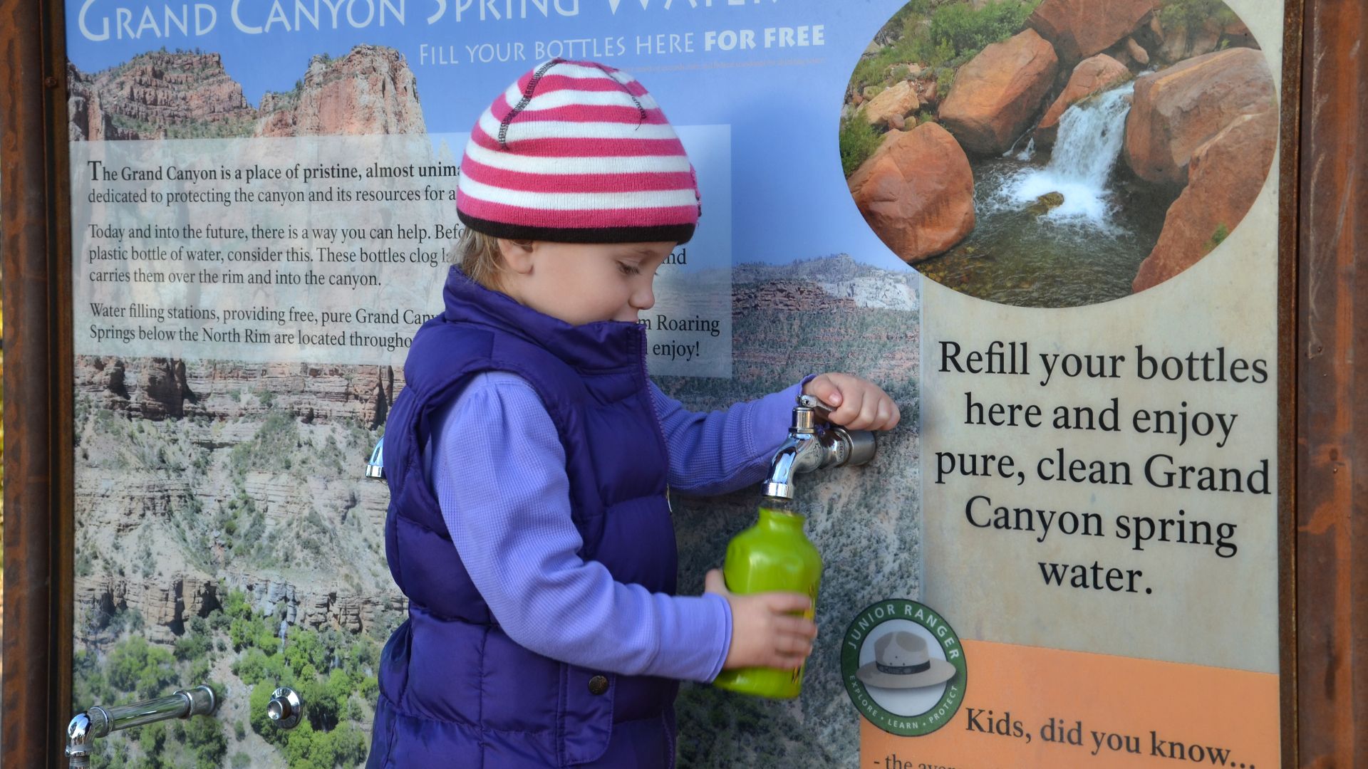
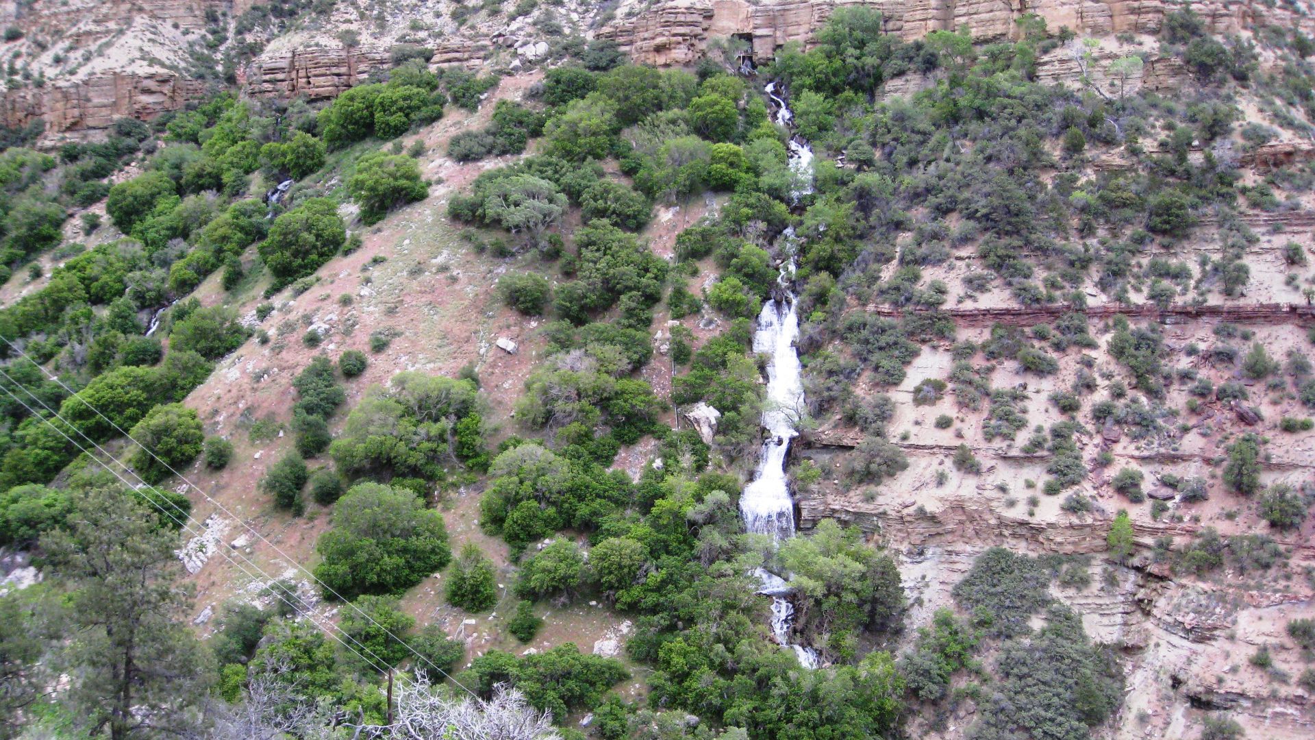
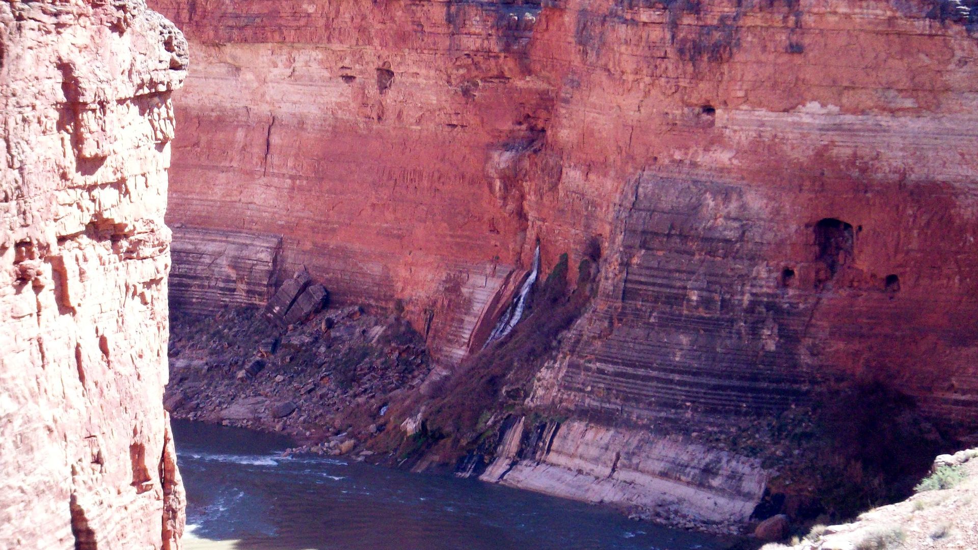
Each year, millions of visitors refill bottles at Grand Canyon National Park's twelve spigots without thinking about the source. Far below the surface, groundwater moves through deep limestone cave networks. It carries mineral-rich water that eventually emerges at springs used by park facilities.
 Grand Canyon National Park, Wikimedia Commons
The Canyon’s Hidden Water Network (Cont.)
Scientists describe this underground system as a “black box”:They can measure water entering through rain and snowmelt, and track what flows out at canyon springs, yet the exact pathways and storage chambers deep inside remain largely unknown even today. There's still a real mystery to the water that comes out of those spigots.
 Grand Canyon National Park, Wikimedia Commons
One Water Source
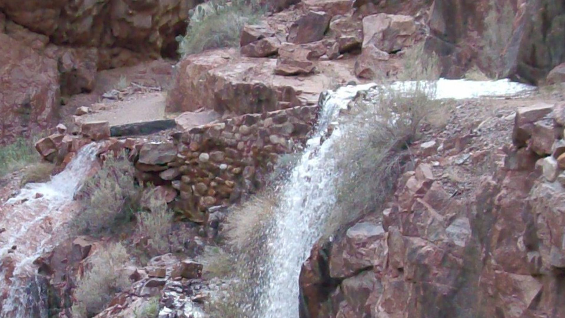
The entire Grand Canyon depends on a single underground spring: Roaring Springs Cave. Located on the North Rim, this cave-fed spring provides every drop of drinking water for the park. No backup exists. When contamination threatens this source, water pumps shut down and millions of visitors face a crisis.
 brewbooks from near Seattle, USA, Wikimedia Commons
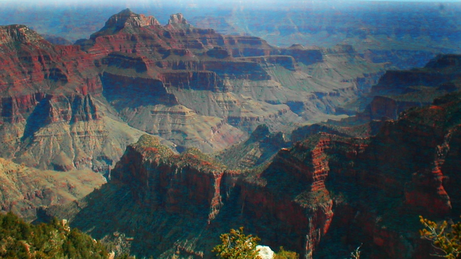
A Lifeline At Risk
Climate change is shrinking the snowpack on the Kaibab Plateau above the canyon. Less snow means less water seeping underground to feed Roaring Springs. Meanwhile, wildfires burn hotter and more frequently across the plateau. It sends ash into the aquifer. The park's only water source grows more vulnerable each year.
 Grand Canyon National Park, Wikimedia Commons
The Hidden Threat
In August 2023, park officials detected E. coli bacteria in the water supply. Boil-water advisories went out immediately. Visitors couldn't drink from taps. The contamination revealed a terrifying truth—pollutants from the surface can reach the underground water in a matter of days. It races through porous limestone too fast for natural filtration.
 Mattosaurus, Wikimedia Commons
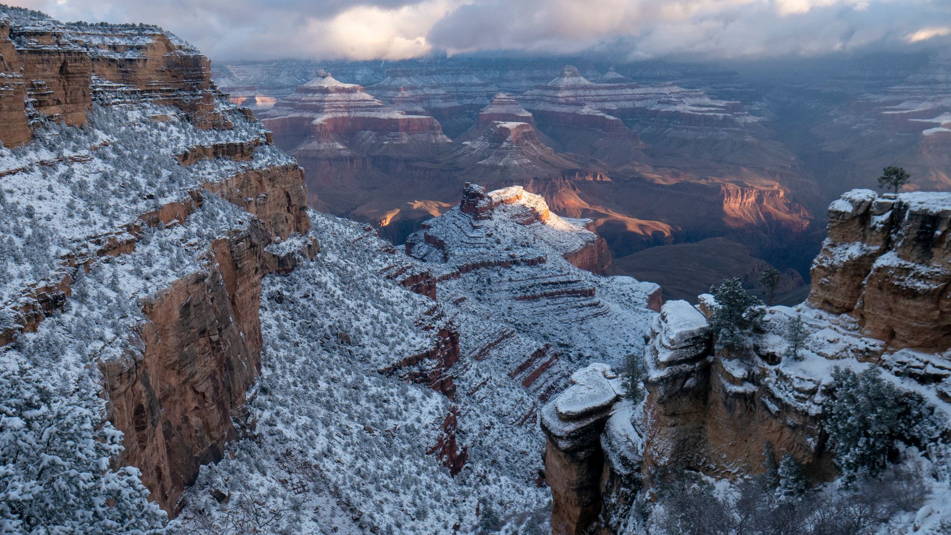
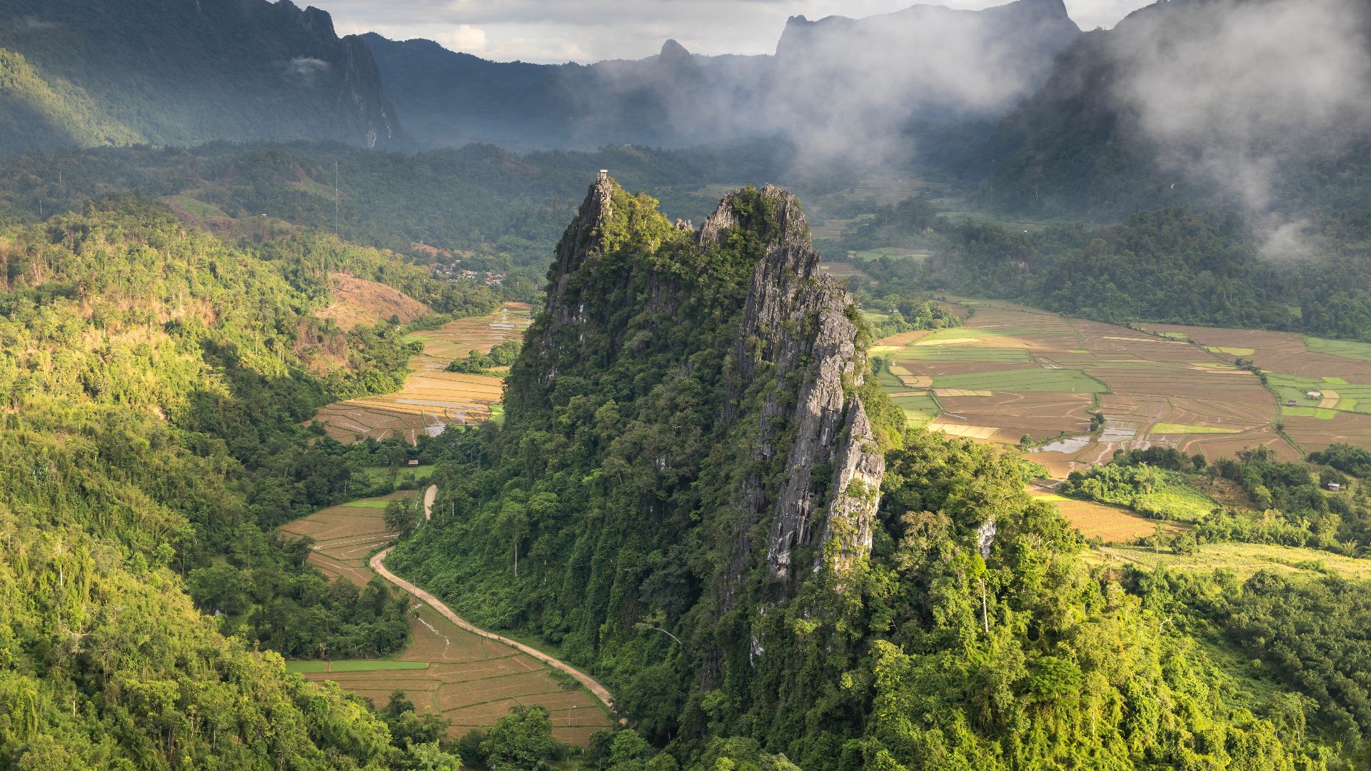
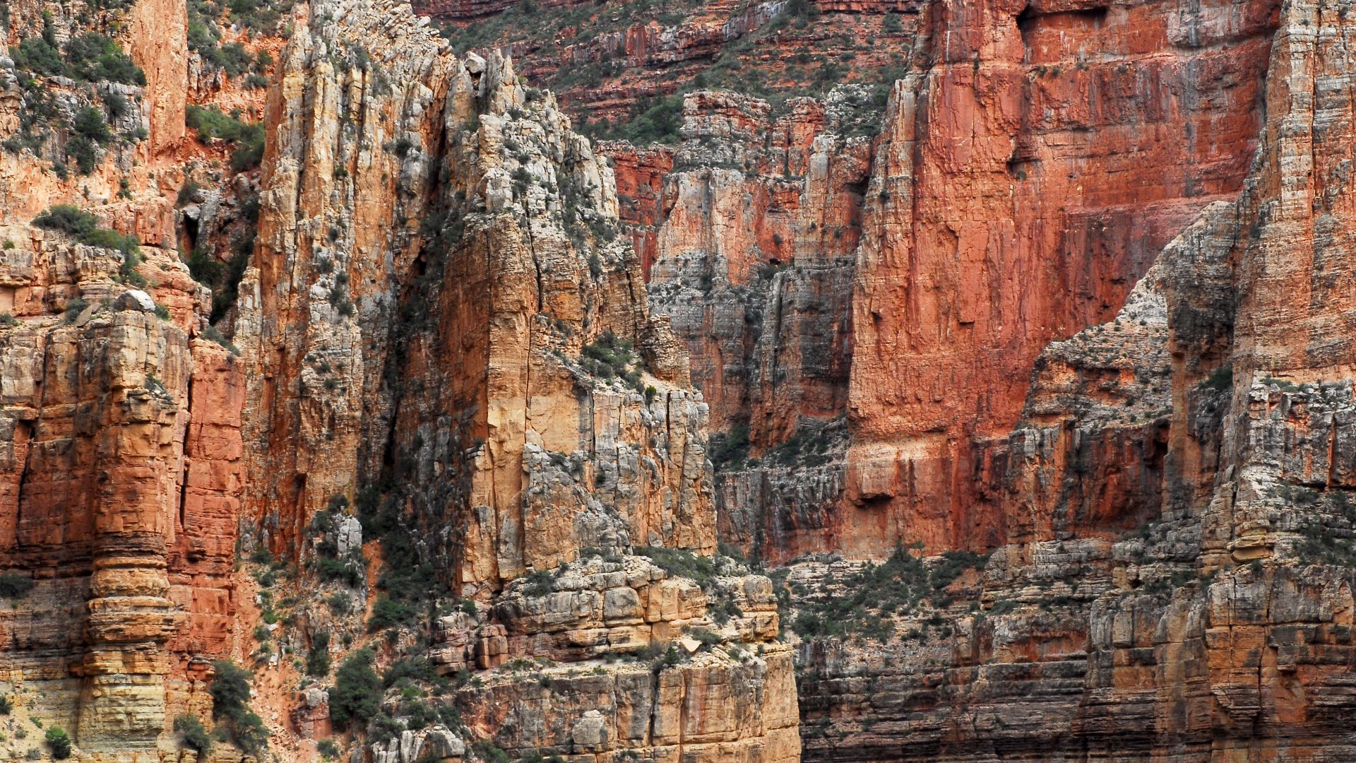
The Kaibab Plateau
The Kaibab Plateau rises above the North Rim like a vast stone island and stretches roughly 60 miles long and 30 miles wide. Winter snow blankets its high forests to store water that will later shape hidden underground systems each spring season.
 Unknown authorUnknown author or not provided, Wikimedia Commons
The Kaibab Plateau (Cont.)
When spring arrives, melting snow rarely forms surface streams here. Instead, water slips into fractures within porous limestone to travel downward through unseen channels. This begins a long subterranean journey that can carry groundwater thousands of feet below today.
 Grand Canyon NPS (Kristen M. Caldon), Wikimedia Commons
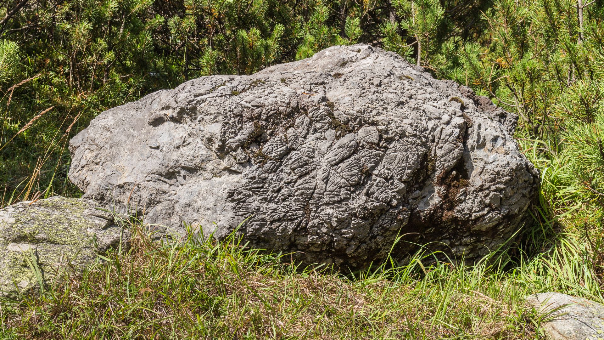
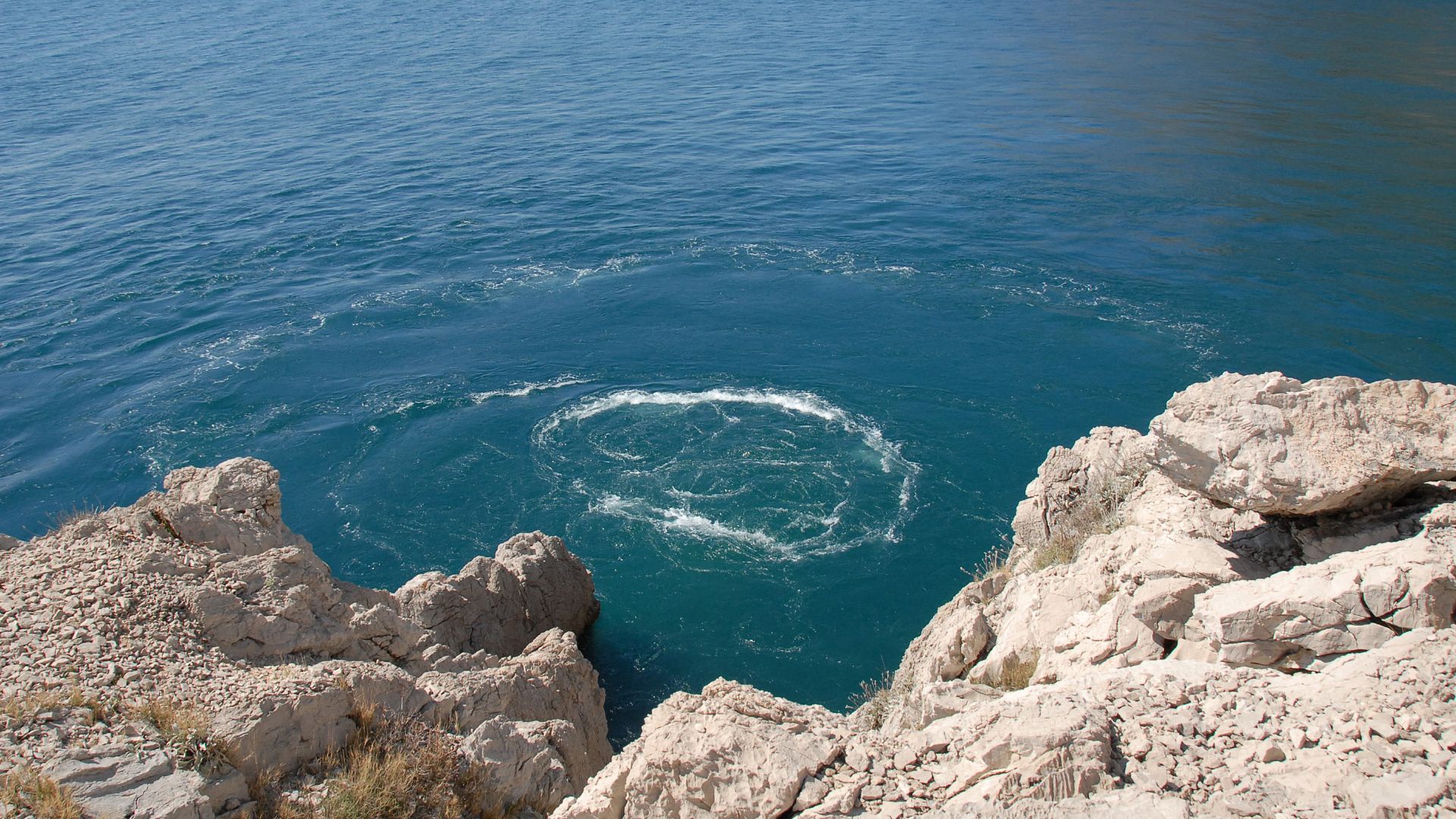
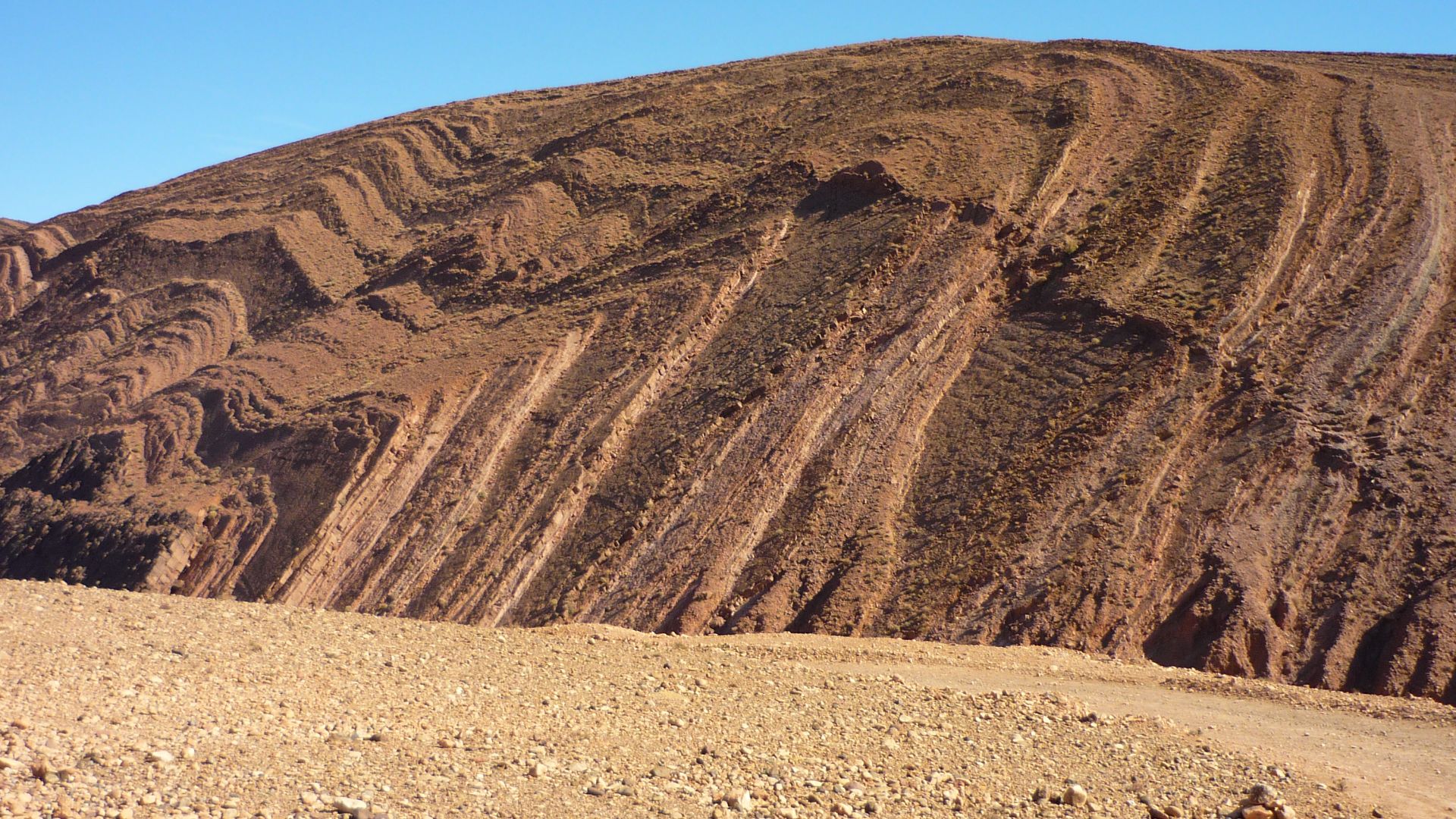
What Is Karst?
Limestone is a soluble rock that slowly dissolves when rainwater and snowmelt absorb carbon dioxide to form a mild natural acid. Over millions of years, this process creates karst terrain. These are landscapes shaped by erosion, where caves and hidden drainage systems gradually develop underground.
 Agnes Monkelbaan, Wikimedia Commons
What Is Karst? (Cont.)
As dissolution continues, the rock becomes a network of tunnels and voids that guide groundwater in unpredictable directions. Scientists compare karst to Swiss cheese because solid layers hide empty spaces below. It allows water to travel through darkness far beyond surface visibility.
 Basile Morin, Wikimedia Commons
A Global Water System
25 percent of the world's population depends on karst springs for drinking water. From Kentucky to Croatia, China to Mexico, these underground systems provide freshwater to major cities and rural communities. Understanding how karst aquifers function is essential to protecting water supplies for hundreds of millions of people worldwide.
 Rainer Pinhack, Wikimedia Commons
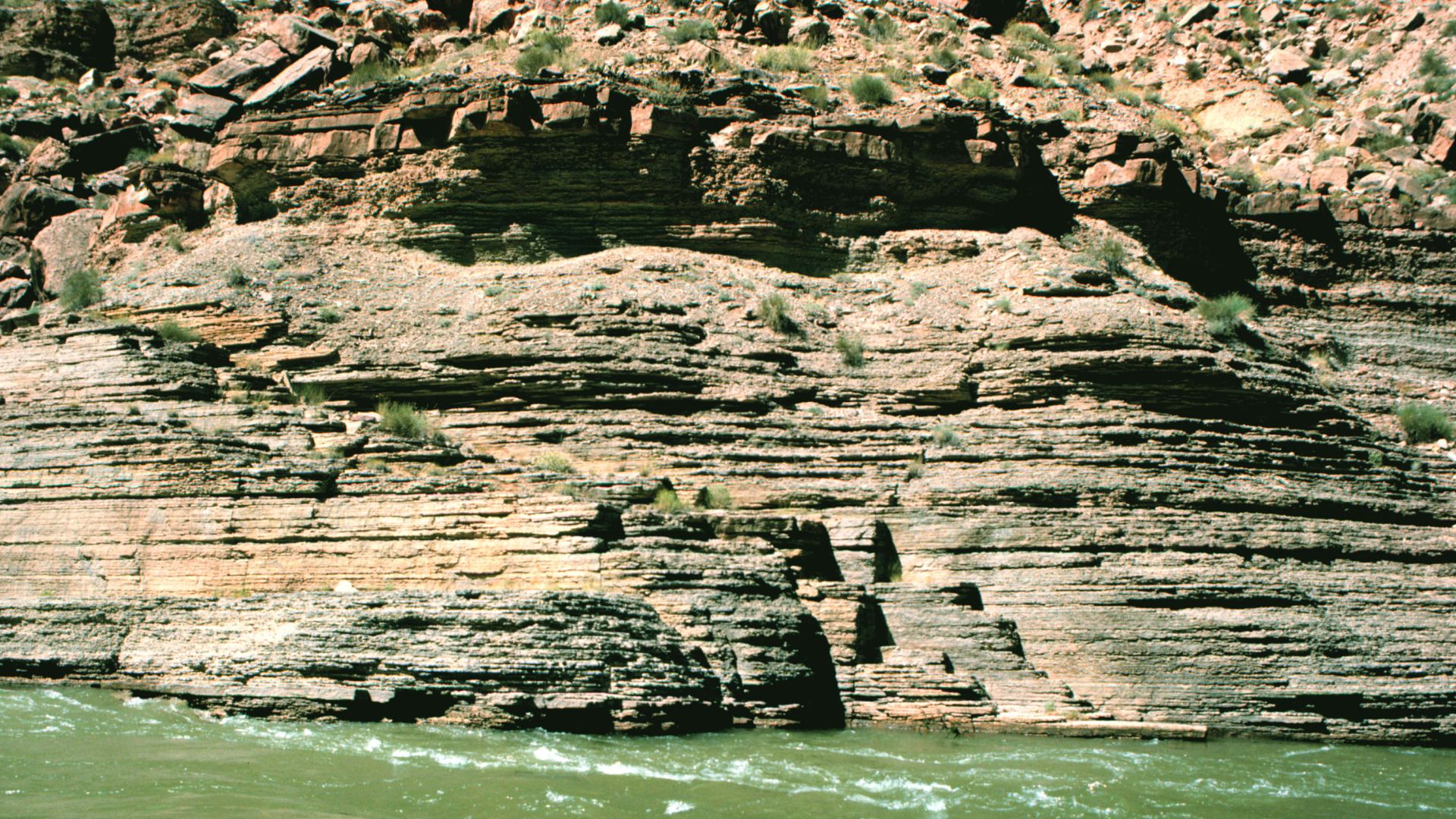
Layers Of Rock
Beneath the Kaibab Plateau lie two major water-bearing formations: the Redwall Limestone, about 340 million years old, and the older Muav Limestone, formed roughly 505 million years ago. These thick layers rest nearly 2,300 feet below the plateau’s forested surface.
 Joseph H. Hartman, Wikimedia Commons
Layers Of Rock (Cont.)
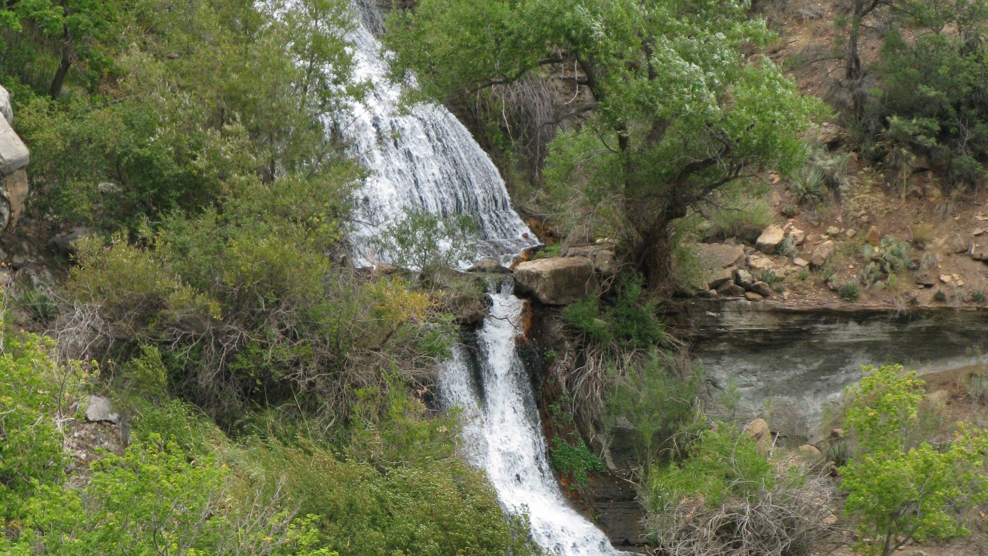
Snowmelt filtering through fractures slowly descends through this massive stack of rock before reappearing at Roaring Springs. Located about 5,200 feet below the North Rim, the spring provides a critical water source that supports park facilities and surrounding desert habitats.
 Joseph H. Hartman, Wikimedia Commons
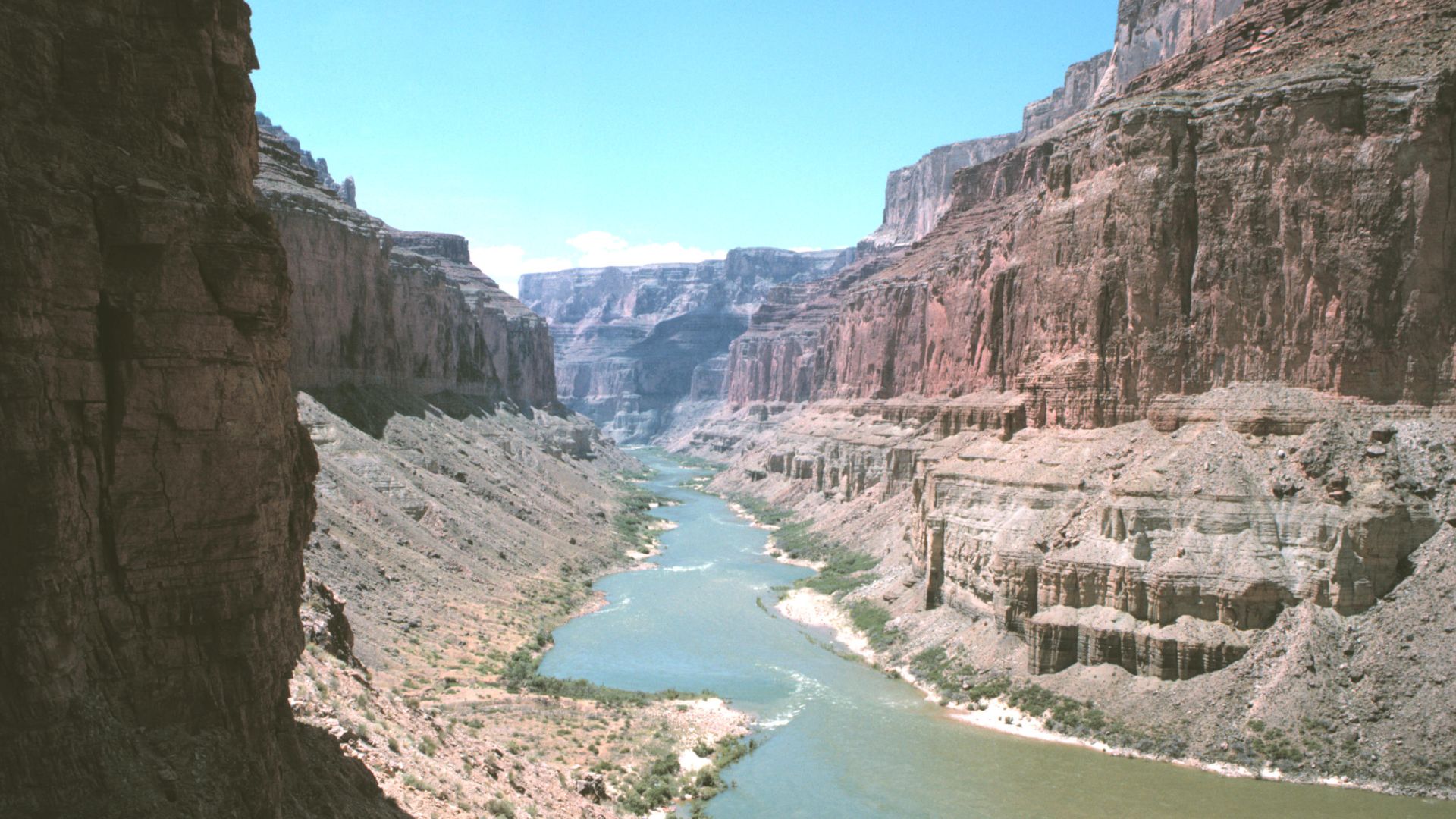
The Two-Aquifer System
The Grand Canyon contains two separate aquifers stacked vertically, separated by 2,000 feet of impermeable rock. The shallow Coconino aquifer sits closer to the surface. Below it, the deep Redwall-Muav aquifer holds the water feeding Roaring Springs. Scientists needed to understand how surface contamination could penetrate so deeply.
 Gonzo fan2007, Wikimedia Commons
Previous Investigation Methods
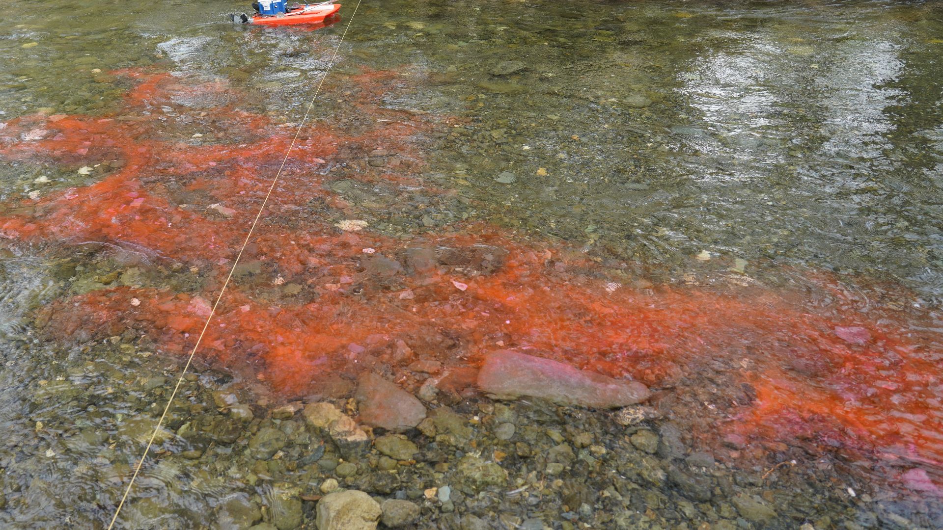
For decades, scientists injected non-toxic fluorescent dye into sinkholes on the Kaibab Plateau to track underground water flow. Weeks later, the dye appeared at Roaring Springs, which proved a connection. In one test, dye traveled 12.4 miles through solid rock in just seven days.
The Speed Problem
The Grand Canyon's limestone aquifer works differently. Water races through open cracks and cave passages in days instead of years. There's no time for filtration. Whatever enters the ground—E. coli from animal waste, ash from wildfires, chemical runoff—arrives at Roaring Springs nearly unchanged.
 Grand Canyon National Park, Wikimedia Commons
Meet Blase LaSala
Blase LaSala, a PhD student at Northern Arizona University's School of Informatics, saw the problem clearly. Without maps of the actual cave passages, there was no way to protect the water supply. He proposed to deploy mobile laser scanners thousands of feet underground and create the first high-resolution 3D maps.
Professor Temuulen "Teki" Sankey
Professor Temuulen Sankey, known as "Teki," supervised LaSala's groundbreaking research. She pioneered using advanced scanning equipment to map landscapes nobody could see with the unaided eye. She recognized that the same technology mapping forests from airplanes could revolutionize the understanding of caves.
 David Monniaux, Wikimedia Commons
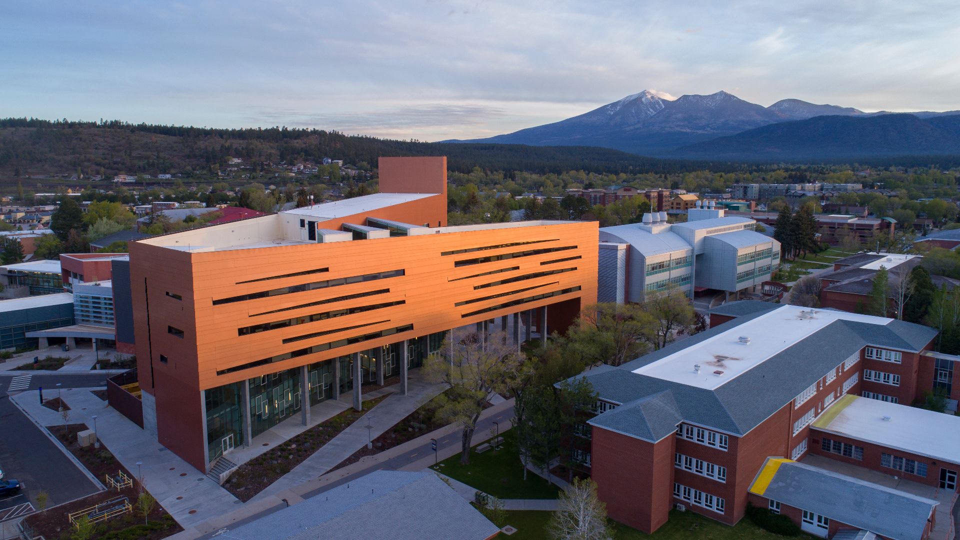
The Research Team
LaSala and Sankey assembled a multidisciplinary team from Northern Arizona University. Professor Abe Springer brought expertise in hydrology and groundwater systems. Mark Nebel, who spent 15 years as Grand Canyon National Park's chief hydrologist. Together, they planned an expedition unlike any attempted before in the park's 105-year history.
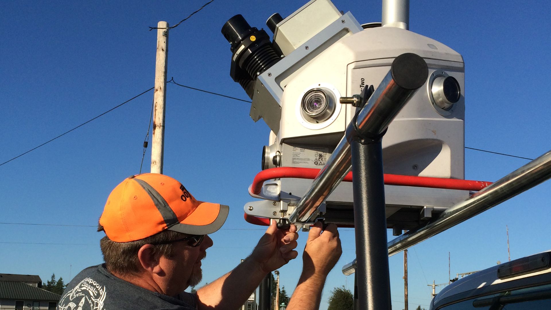
Planning The Mission
They needed to document over six miles of underground passages. Equipment lists included: mobile lidar scanners, batteries, headlamps, ropes for rappelling, and waterproof cases. Each researcher would carry 55-pound packs through terrain ranging from dry crawlspaces to flooded chambers. The expedition would require 45 days underground across multiple trips.
 Oregon Department of Transportation, Wikimedia Commons
The Journey In
Reaching the caves meant hiking up to two days each way from the canyon rim. Trails switchbacked down nearly a mile of vertical cliffside. Researchers descended through geologic time by passing rock layers hundreds of millions of years old. Summer temperatures exceeded 100 degrees Fahrenheit.
 Grand Canyon National Park, Wikimedia Commons
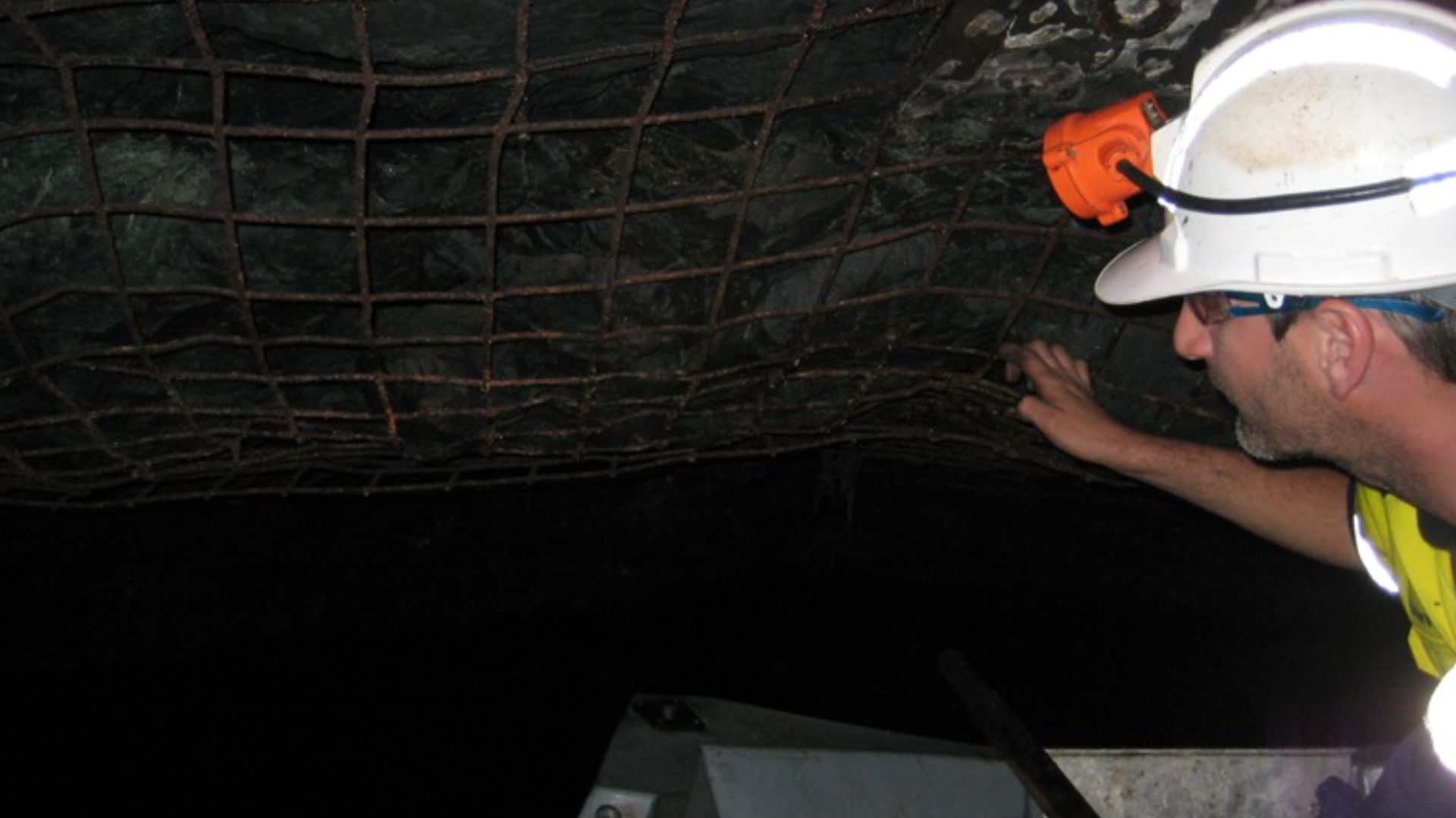
45 Days Underground
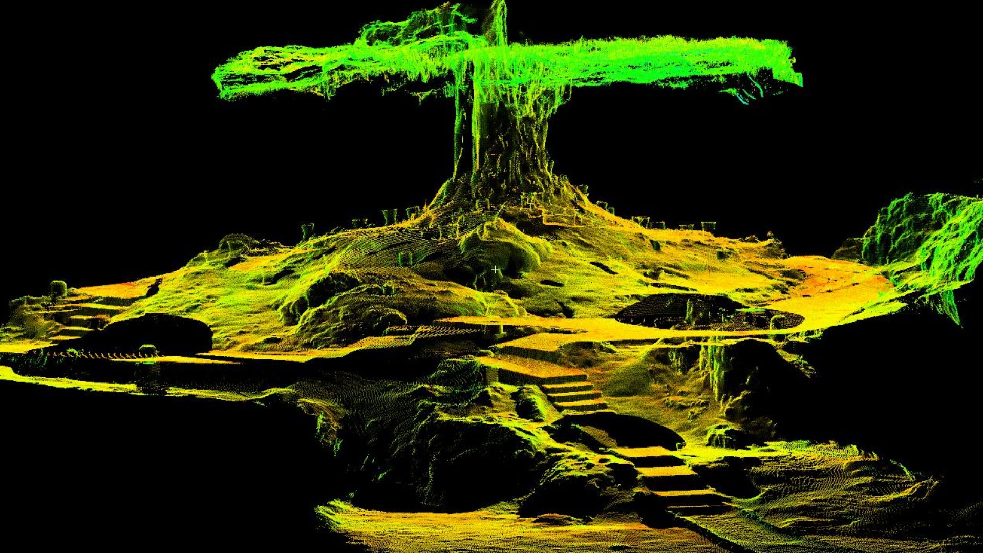
The team worked in total darkness, broken only by headlamp beams. In flooded sections, researchers floated equipment on inflatable rafts to hold scanners above water. Hours underground blurred together. Every surface received laser scanning coverage. Six miles of cave, documented.
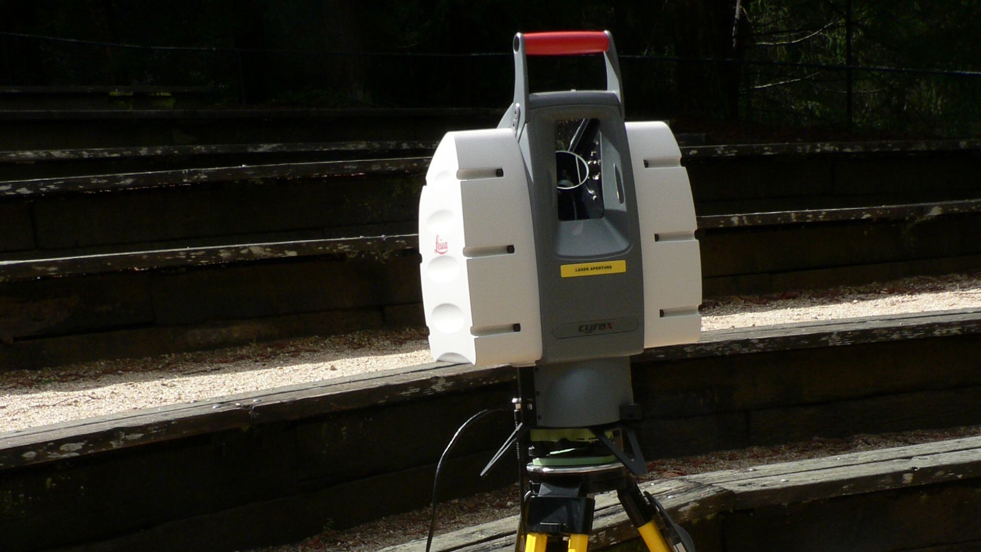
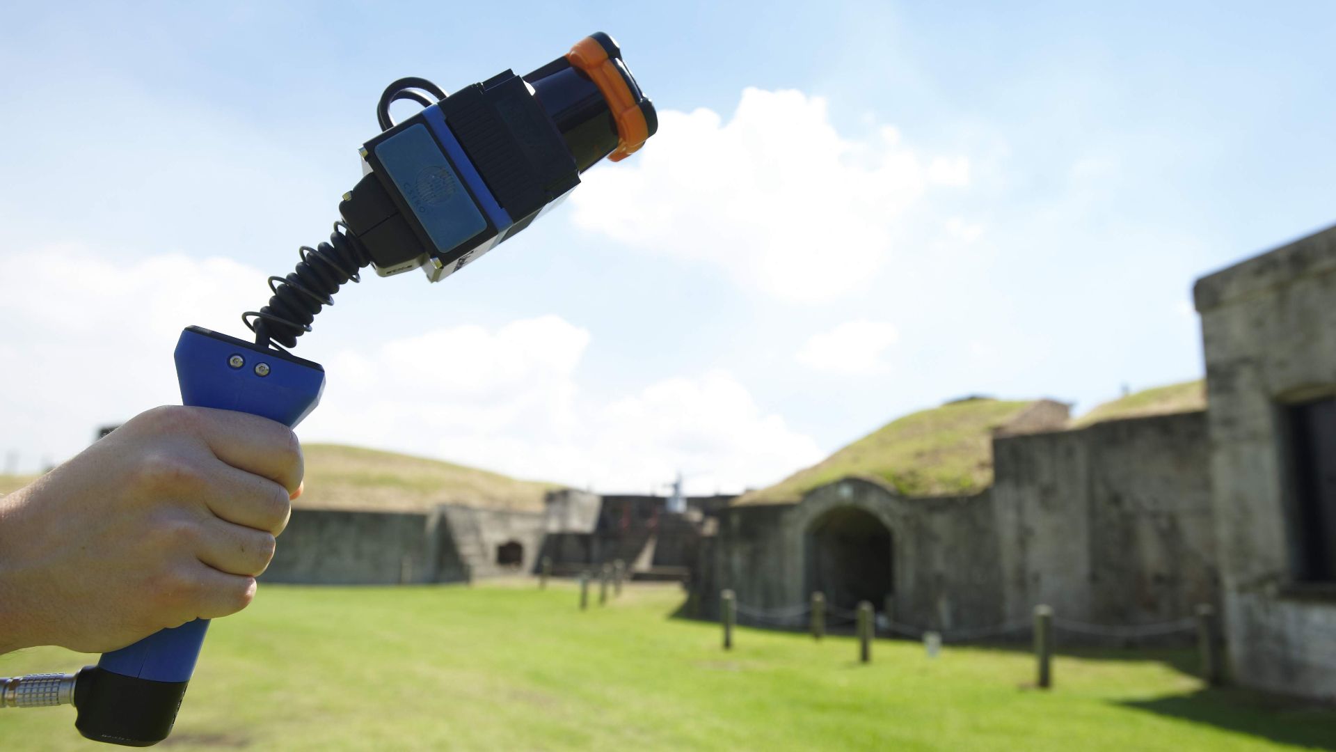
How Mobile Lidar Works
Lidar stands for Light Detection and Ranging. The handheld scanners emit millions of laser pulses per second. Each pulse bounces off cave surfaces and returns to the sensor. By measuring the time each pulse takes to return, the device calculates exact distances. Software combines these measurements into three-dimensional point clouds.
Unprecedented Accuracy
When the team compared their 3D laser scans against traditional hand-drawn cave maps created over 20 years, the match was nearly perfect. Total measurement errors stayed below 0.5 percent—less than six inches of deviation across miles of passages. The laser technology validated surveying work while adding extraordinary detail.
The Crack Pattern Discovery
The 3D models revealed that water doesn't flow randomly through the limestone. Across all three caves, underground streams followed consistent fracture patterns etched into the rock. These were systematic cracks running in specific directions. The pattern repeated in cave after cave.
 Grand Canyon National Park, Wikimedia Commons
Tilted Rock Layers Revealed
The high-resolution scans showed limestone layers weren't horizontal—they tilted at angles. Ancient fault activity had shifted and cracked the rock formations. Water exploited these weaknesses, carving passages along the tilted layers and through the fault-created fractures.
With this new data, LaSala have finally revealed the Grand Canyon's black box, the first step in protecting this essential water source for everyone.
 Ronny (https://www.geodiversite.net/auteur137), Wikimedia Commons


