
Archaeological Wonders
Off the coast of France, one interesting secret just surfaced. A massive stone wall sits underwater, built by people who supposedly lacked the skill for such projects. Turns out, history books missed something big.
Seabed Anomaly
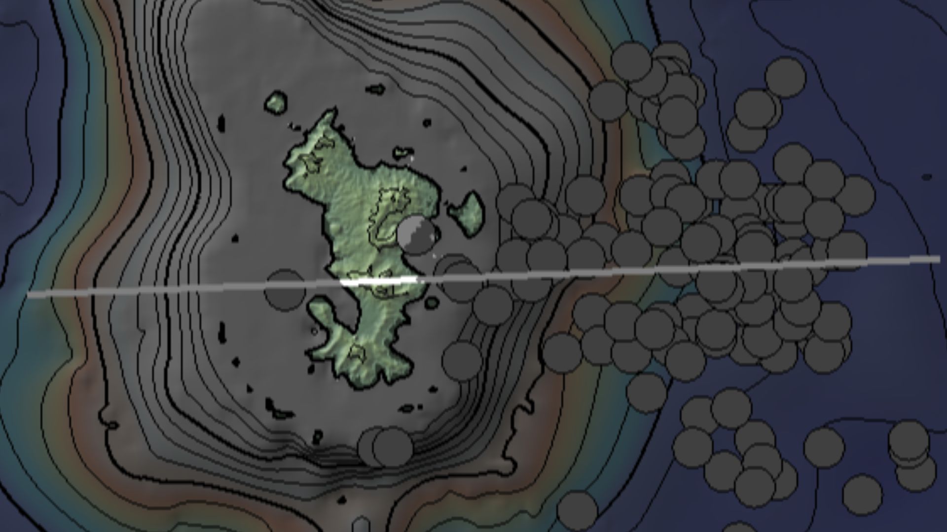
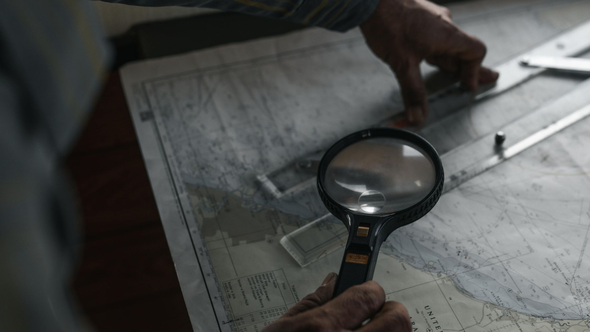
A retired geologist's routine examination of ocean floor data turned into one of archaeology's most startling revelations. Yves Fouquet was scanning freshly generated seabed charts off France's western coast when a perfectly straight line, stretching nearly 400 feet, caught his attention.
 Aidan Karley, Wikimedia Commons
LIDAR Mapping
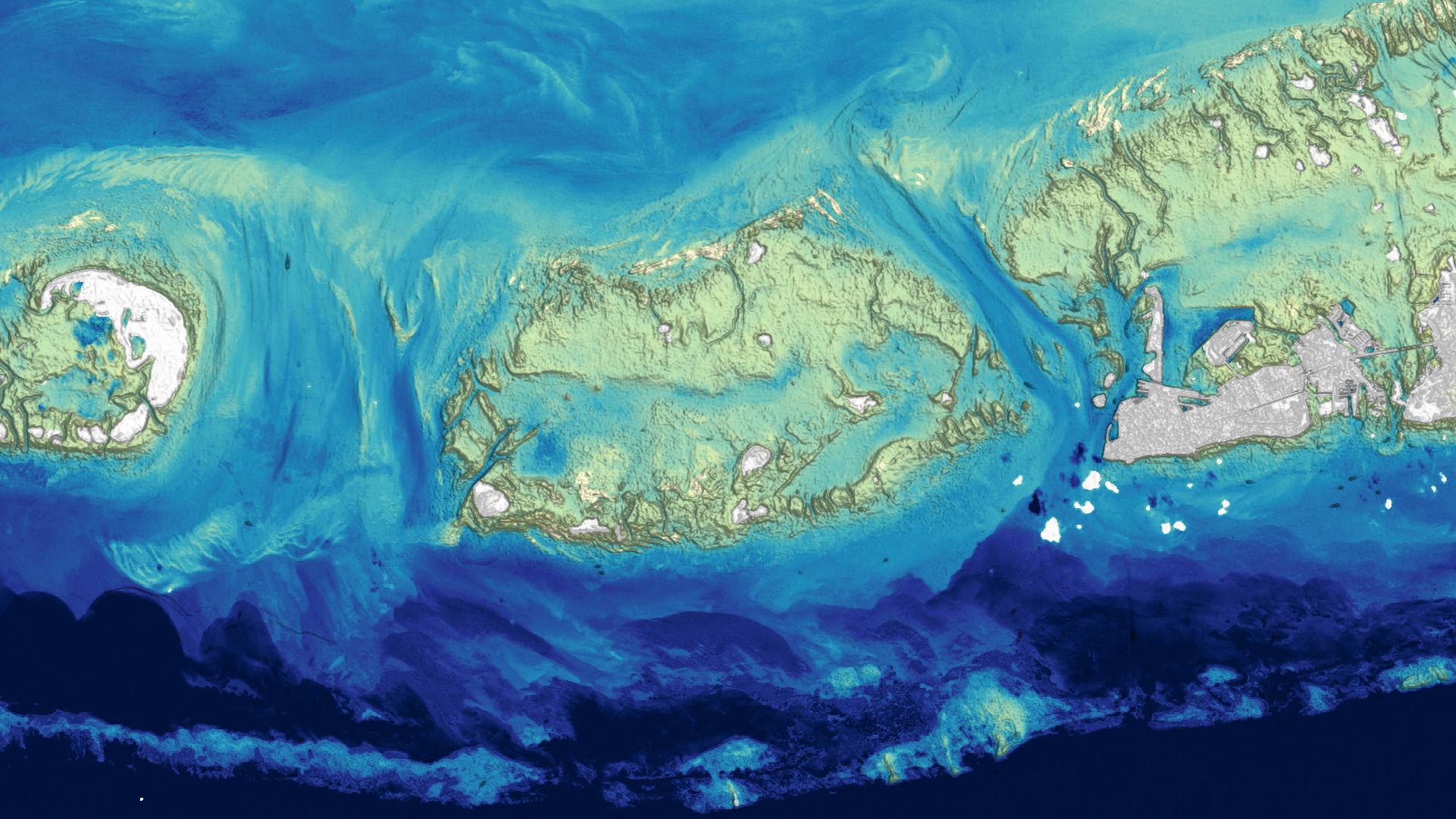
Advanced laser technology pierced through ocean depths to reveal what human eyes couldn't see. LIDAR bathymetry created precise three-dimensional maps of the seafloor near Finistere, France's jagged western tip, where land stubbornly meets the Atlantic. The imaging revealed geometric forms cutting cleanly across an underwater valley.
Yves Fouquet
The discovery emerged from careful analysis rather than a dramatic accident. Fouquet, associated with France's Society of Archaeology and Maritime Memory (SAMM), brought decades of geological expertise to his 2017 chart examination. His trained eye recognized what automated systems might overlook.
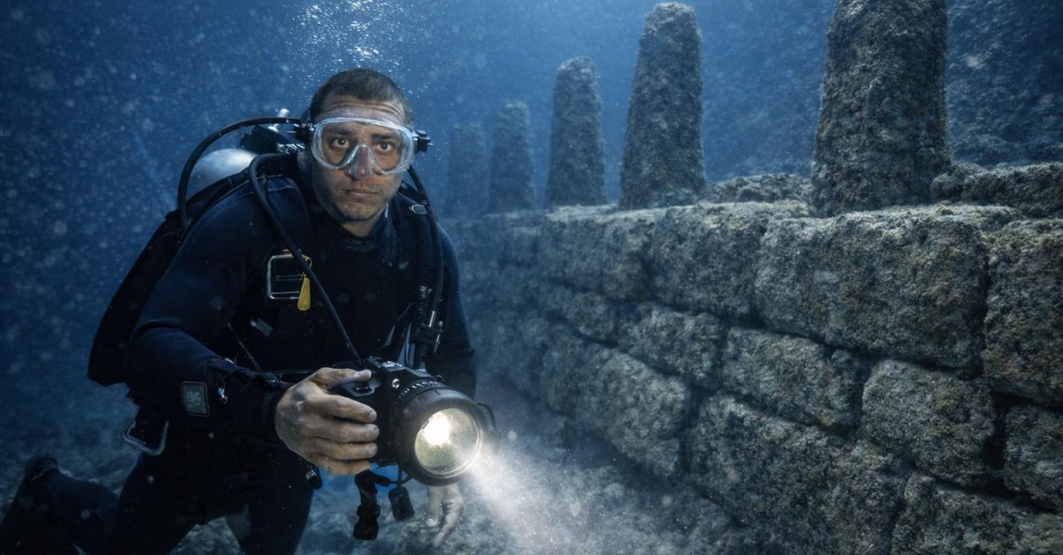
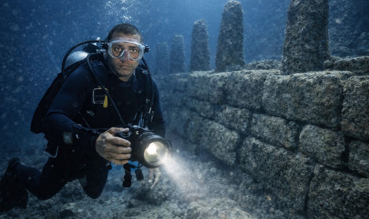
Dive Investigations
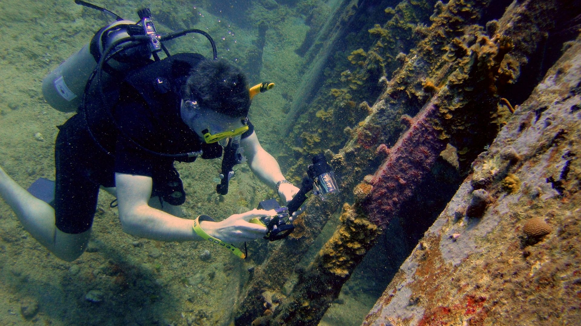
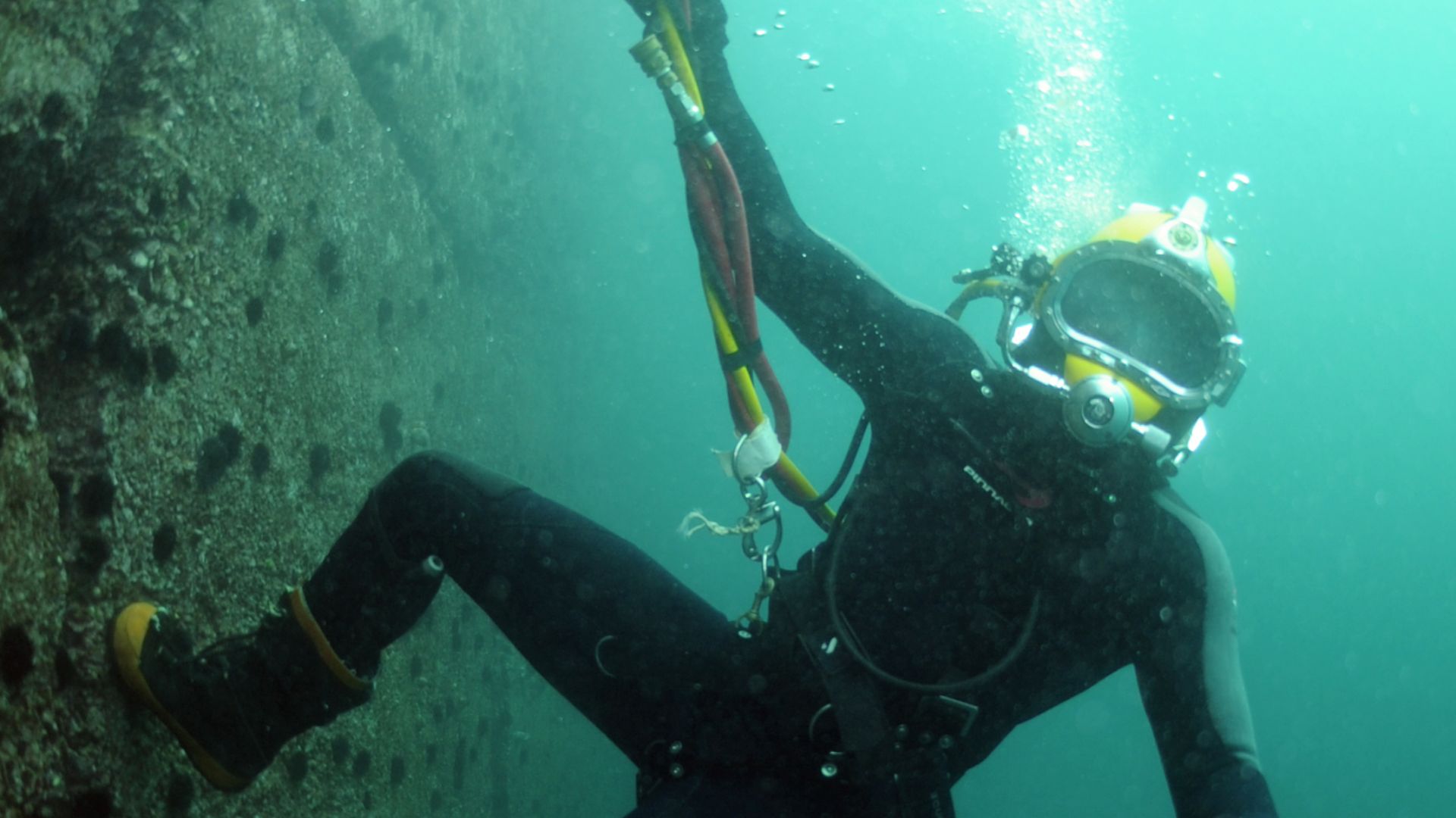
Confirmation required patience and precise timing. Between 2022 and 2024, dive teams conducted 59 underwater expeditions totaling over 35 hours beneath the waves. They worked in brutal conditions: strong Atlantic swells, powerful tidal currents, and visibility that vanished except during winter when seasonal seaweed die-off created brief windows.
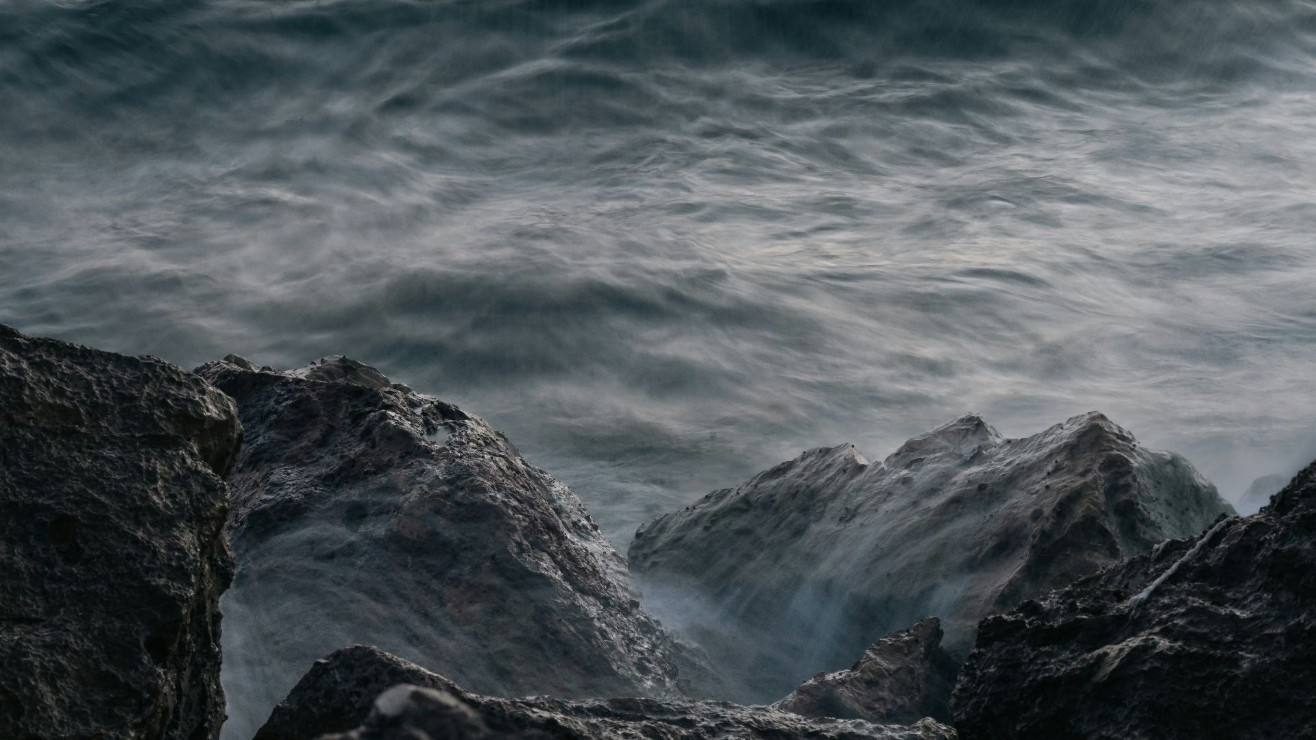
Sein Island
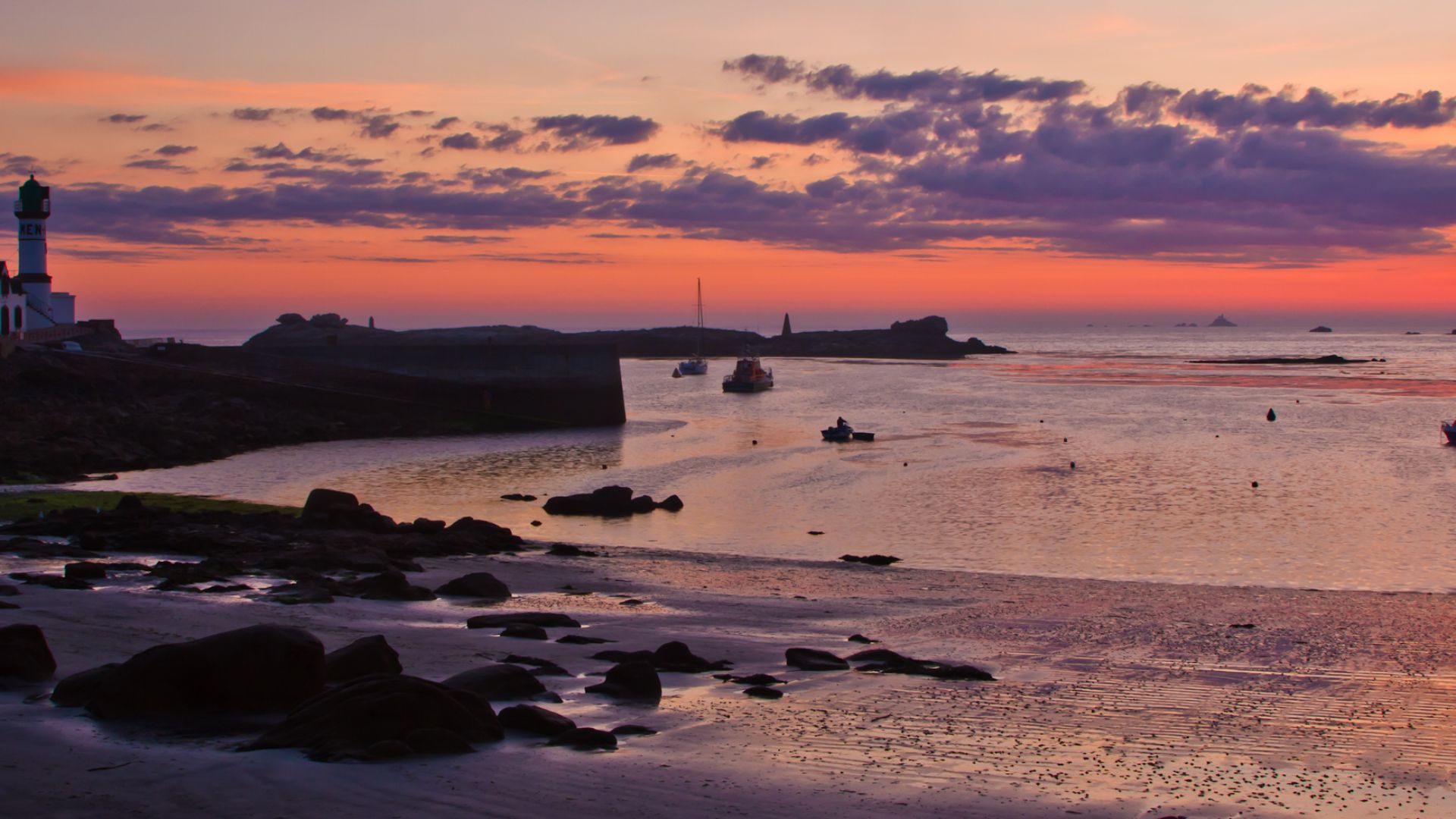
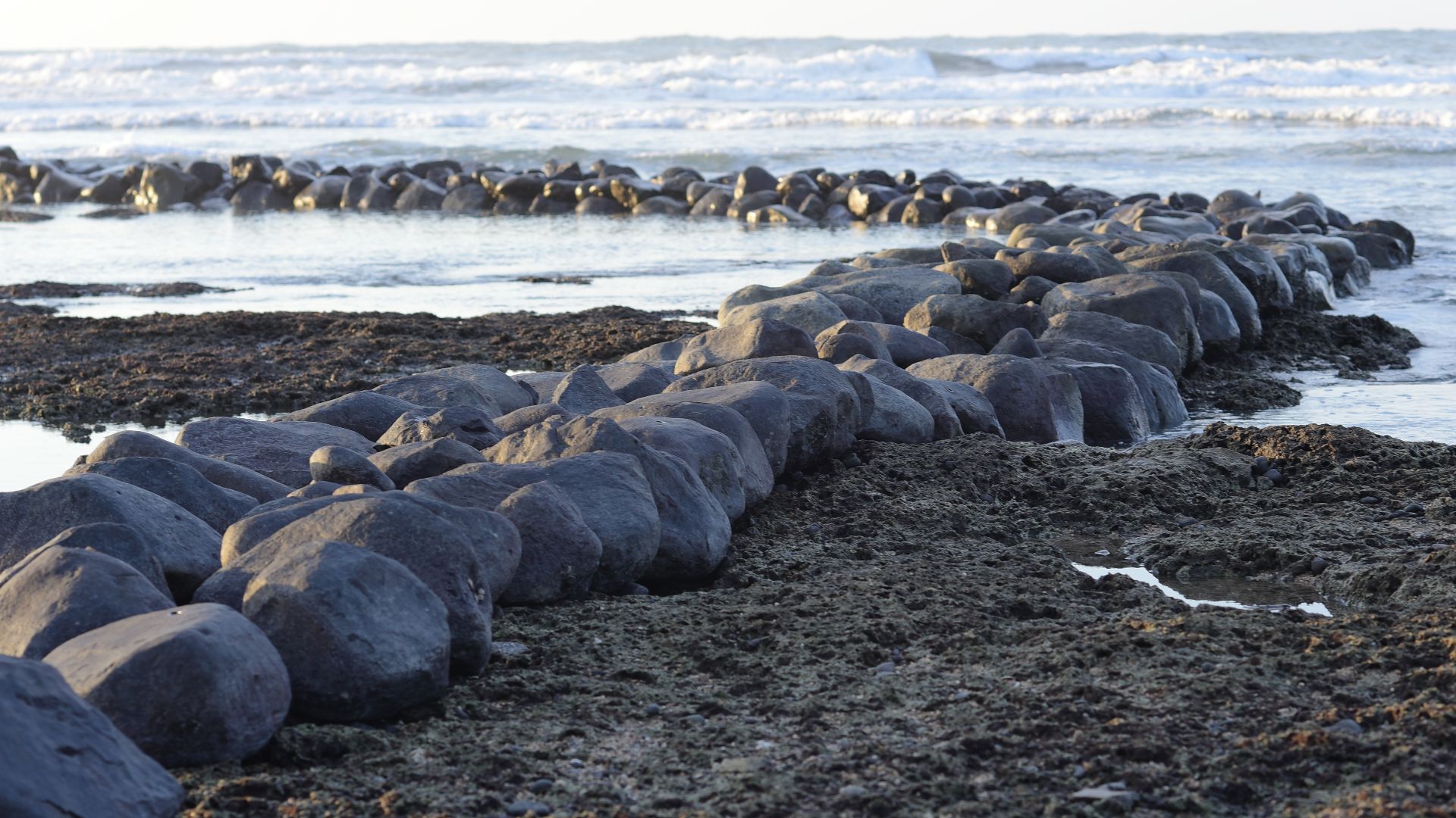
The wall lies off Ile de Sein, a rugged outcrop at Brittany's westernmost edge. This small island, barely 0.22 square miles, has witnessed millennia of human history, now serving as the landmark for something far older. The structure rests on the Chaussee de Sein.
 blue eyes photographies, Wikimedia Commons
Wall Dimensions
Marine archaeologists measured a wall stretching 120 meters in length, averaging 20 meters wide at its base, and reaching up to two meters in height. It spans an entire underwater valley, suggesting builders understood large-scale landscape engineering. The sheer scale demanded coordinated labor.
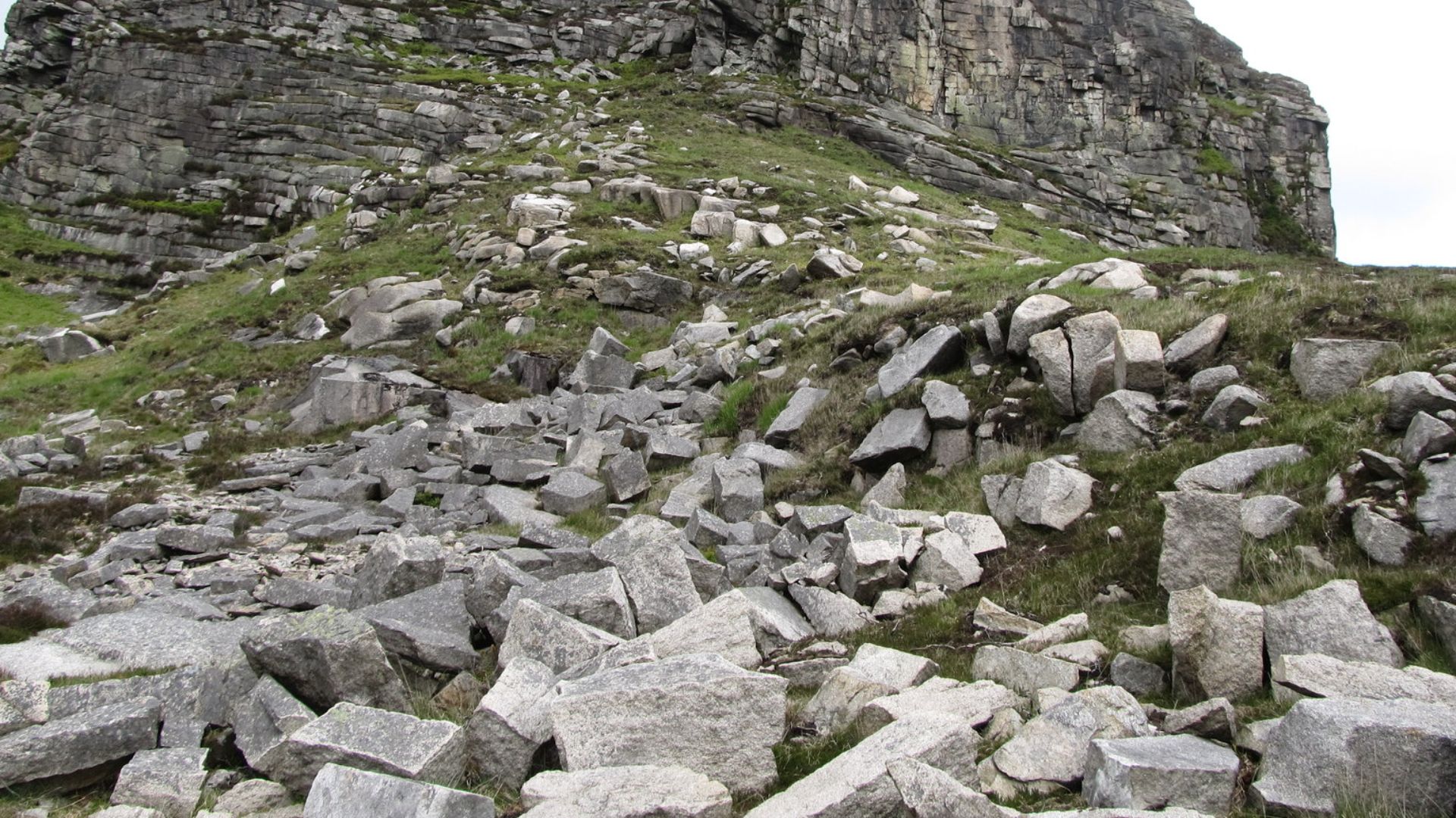
Granite Blocks
Local stone was used as the building material for this ancient engineering feat. Builders quarried granite from nearby sources, selecting blocks that would withstand marine forces for millennia. The stones weren't simply piled; they were deliberately arranged in a stable configuration.
 Eric Jones , Wikimedia Commons
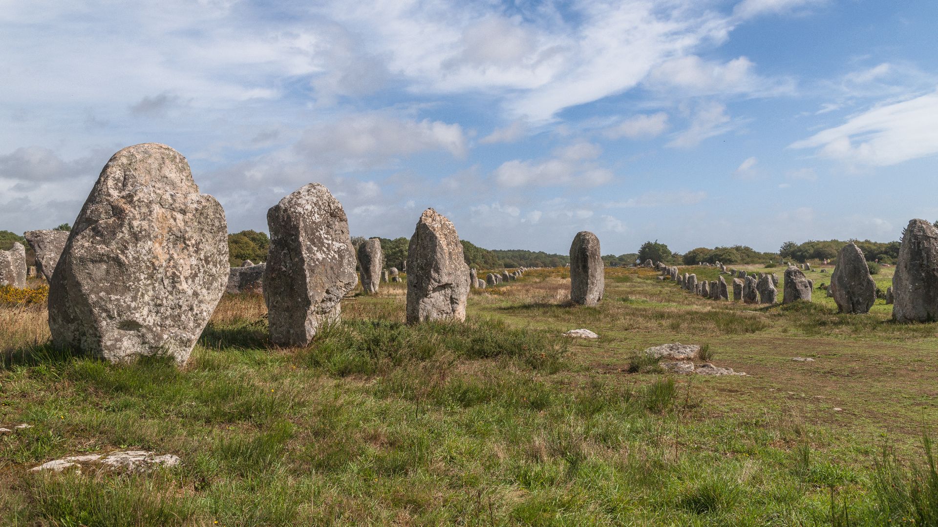
Monolith Rows
What elevates this from mere wall to architectural marvel are the standing stones. Over sixty upright monoliths and slabs rise from the wall's crest, some reaching nearly two meters above the surrounding granite. These vertical elements are arranged in two parallel rows, creating a distinctive pattern.
 David Broad, Wikimedia Commons
Construction Technique
Builders demonstrated engineering knowledge that contradicts assumptions about "primitive" societies. They selected specific stone sizes, transported multi-ton blocks to precise locations, and erected monoliths that have remained standing for seven millennia. The construction sequence shows deliberate planning.
Material Mass
Moving 3,300 tons of granite required organized labor on a scale previously unattributed to Mesolithic hunter-gatherers. Each major monolith weighed several tons, comparable to the stones at Brittany's famous Carnac alignments built centuries later. Quarrying demanded knowledge of stone fracture planes.
Dating Evidence
Multiple scientific methods converged on a startling timeline that pushes European megalithic construction centuries earlier than previously documented. Researchers analyzed geological data alongside the wall's depth and position relative to ancient shorelines. The structure sits at a depth indicating construction occurred when that location was above water.
 National Institute of Allergy and Infectious Diseases, Unsplash
5800 BCE
This date places construction at a pivotal moment in human history. Europe was transitioning between the Mesolithic and Neolithic periods—the boundary between mobile hunter-gatherers and settled agricultural societies. At 5800 BCE, agriculture hadn't yet reached Atlantic France; these builders were maritime foragers who lived from coastal resources.

Mesolithic Context
The builders belonged to Western Hunter-Gatherer populations who dominated Atlantic Europe for millennia. These weren't nomadic wanderers. Recent genetic and archaeological evidence reveals complex, sophisticated societies with deep territorial knowledge. They constructed permanent seasonal settlements, managed coastal resources sustainably, and maintained extensive trade networks.

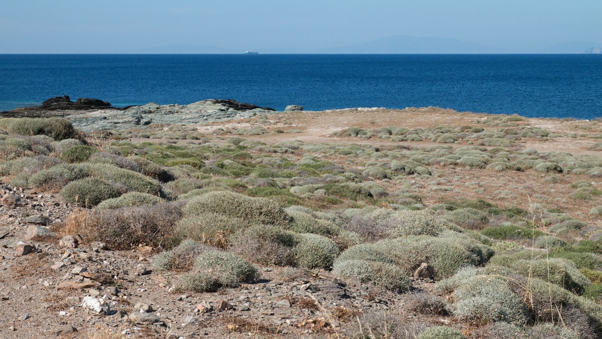
Sea Level
Understanding the wall's function requires reconstructing a vanished world. When construction began around 5800 BCE, global sea levels stood approximately 15 meters lower than today. The Atlantic coastline extended several kilometers beyond its present position. What's now open ocean was then habitable land with freshwater sources.
Coastal Submersion
Ice sheets continued melting rapidly during this period, raising seas at rates between 5.2 and 8.4 millimeters annually. That might sound negligible, but coastal communities would have witnessed dramatic changes within a single human lifetime, meters of land disappearing over decades.
 NASA Goddard Space Flight Center from Greenbelt, MD, USA, Wikimedia Commons
Fish Weir
One compelling theory positions the structure as an elaborate tidal fish trap. The upright monoliths would have supported frameworks with nets woven from branches, sticks, and plant fibers stretched between stones. As the tide rose, fish swam over the wall into the enclosed area.
 Taiwankengo, Wikimedia Commons
Tidal Trapping
The wall's positioning in the intertidal zone made it perfectly suited for passive fishing. Twice daily, Atlantic tides would flood and drain the structure, creating natural collection cycles without requiring constant human presence. Archaeological evidence from Ireland shows Mesolithic communities using comparable techniques.
 Donald MacDonald, Wikimedia Commons
Protective Barrier
An alternative interpretation sees the wall as coastal defense against rising seas. Given the rapid submersion rates, relevant communities would have desperately sought protection for settlements and productive lands. Building massive stone dykes represents a logical response after all.
Rising Waters
Whether a fish trap or a protective barrier, the structure represents humanity's age-old struggle with ocean forces. The builders witnessed environmental change at unprecedented speeds. Their response wasn't a passive retreat but an active engineering intervention. They quarried stone, organized labor, and constructed monuments.
Hunter-Gatherer Engineering
This discovery demolishes outdated assumptions about pre-agricultural societies lacking organizational sophistication. These builders coordinated multi-year construction projects, mobilized substantial labor forces, possessed an advanced understanding of stone working and engineering principles, and maintained social structures capable of directing communal efforts toward monumental goals.
 HeritageDaily, Wikimedia Commons
Social Complexity
The wall's existence implies a hierarchical organization previously unrecognized in Mesolithic Atlantic communities. Someone designed the structure; leaders coordinated labor teams; specialists quarried and positioned stones; communities provisioned workers throughout construction. This required surplus food production, suggesting systematic resource management beyond simple subsistence.
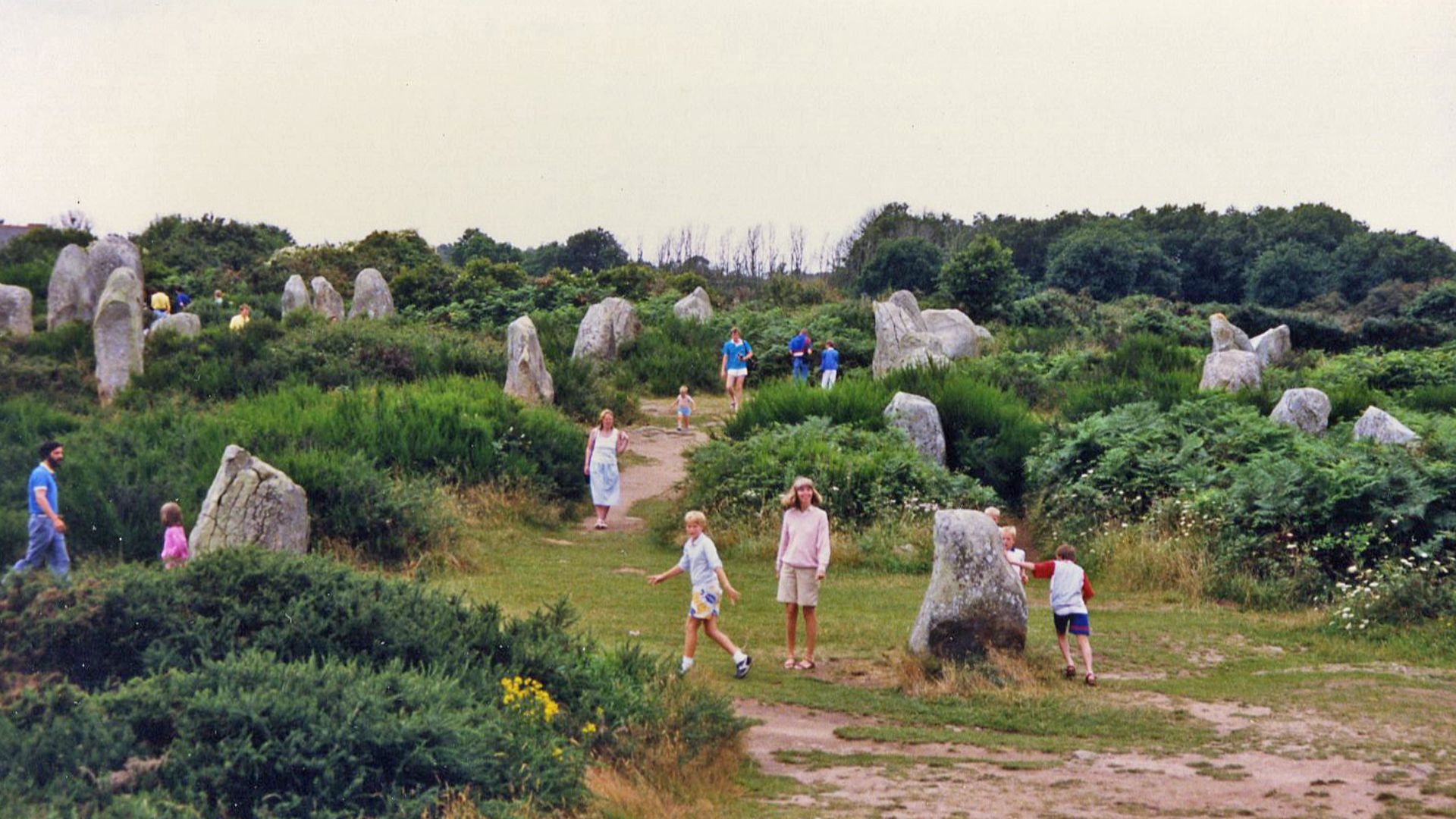
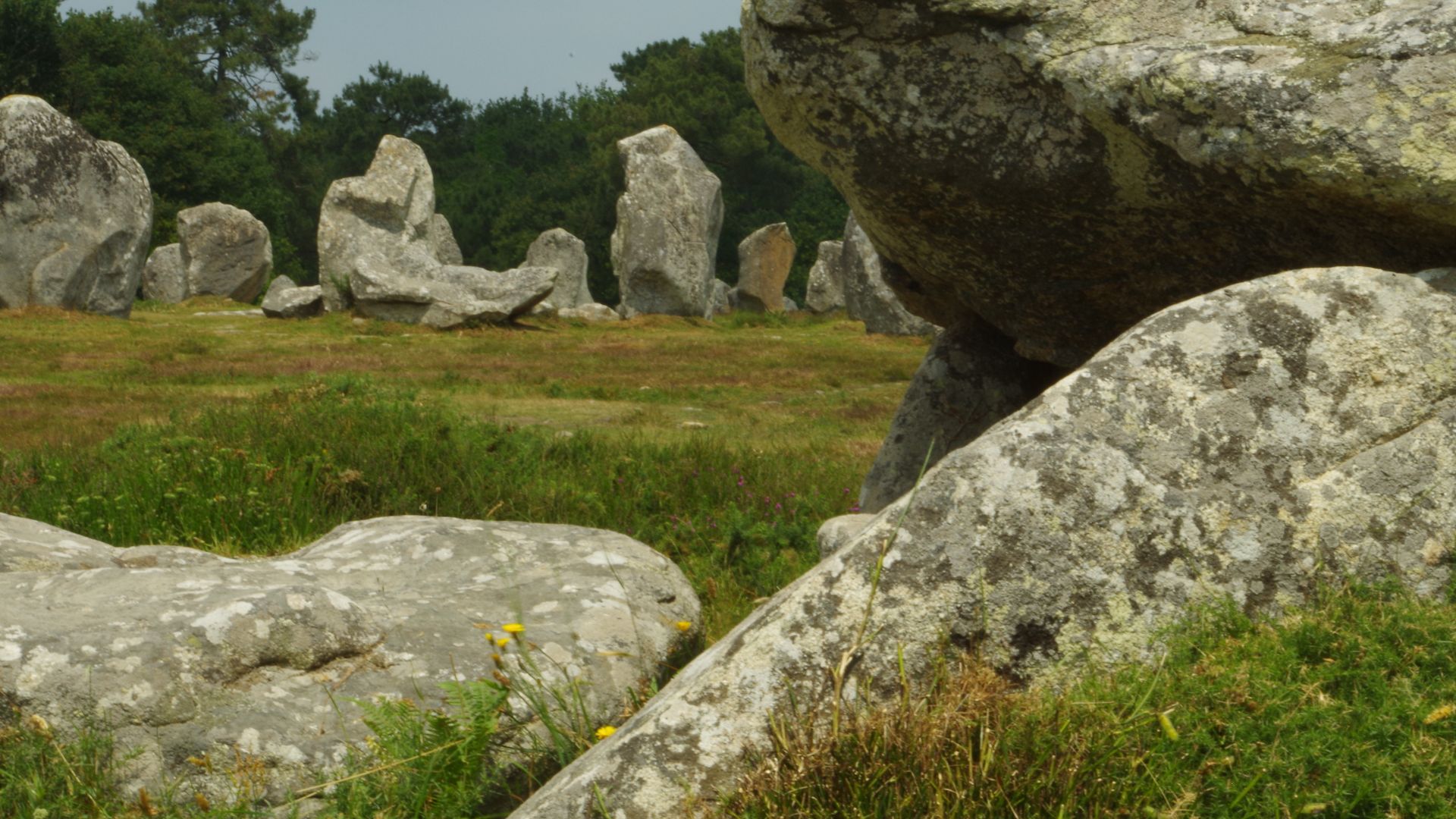
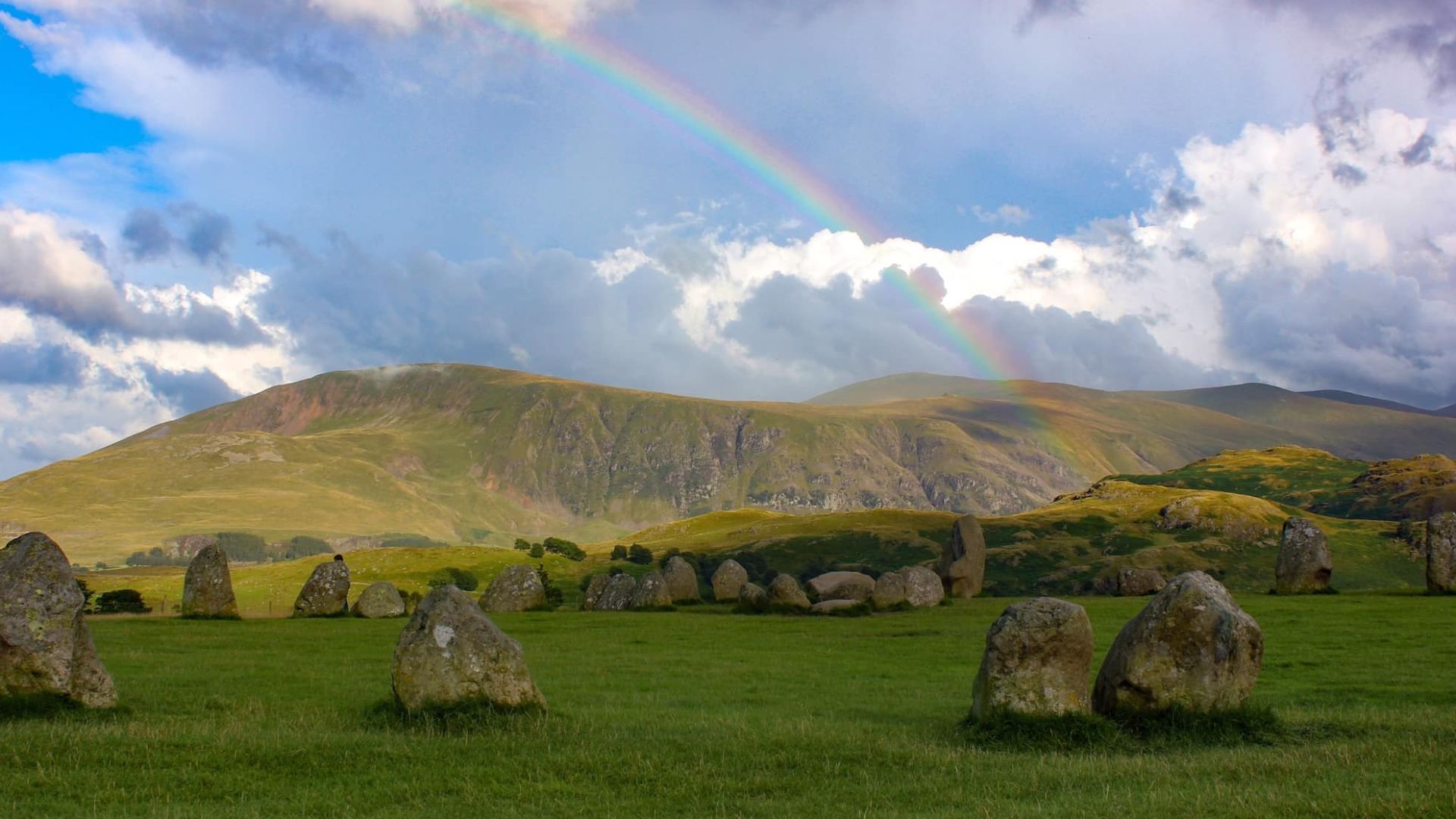
Carnac Predecessors
Brittany's famous Carnac stones date to approximately 4500–3300 BCE. The Sein Island wall predates these celebrated monuments by roughly 500 years, fundamentally rewriting megalithic chronology. More significantly, the underwater monoliths employ paired standing stone techniques nearly identical to later terrestrial monuments.
Knowledge Transmission
How did construction techniques survive the Mesolithic-Neolithic transition? Archaeological and genetic evidence show these weren't separate populations. Hunter-gatherers and incoming farmers coexisted for centuries along Atlantic coasts. Western France underlines unusually high genetic mixing, with early Neolithic farmers carrying approximately 31% hunter-gatherer ancestry.
 Rowyn flowerdew, Wikimedia Commons
European Discoveries
The Sein wall isn't isolated. In 2024, archaeologists discovered a 10,000-year-old stone wall submerged 70 feet deep off Germany's Baltic coast. Europe's drowned coastlines hide an entire lost world of hunter-gatherer achievement, challenging everything archaeology assumed about prehistoric capabilities and coastal adaptation.


