A New View Of History
For centuries, dense forests concealed the remains of once thriving civilizations. Today, archaeologists are using advanced remote sensing technologies to reveal cities, roads, pyramids, canals, and fortifications without cutting down vegetation. These discoveries are transforming our understanding of how many ancient societies developed, expanded, and interacted with their environments.
Looking Beyond The Trees
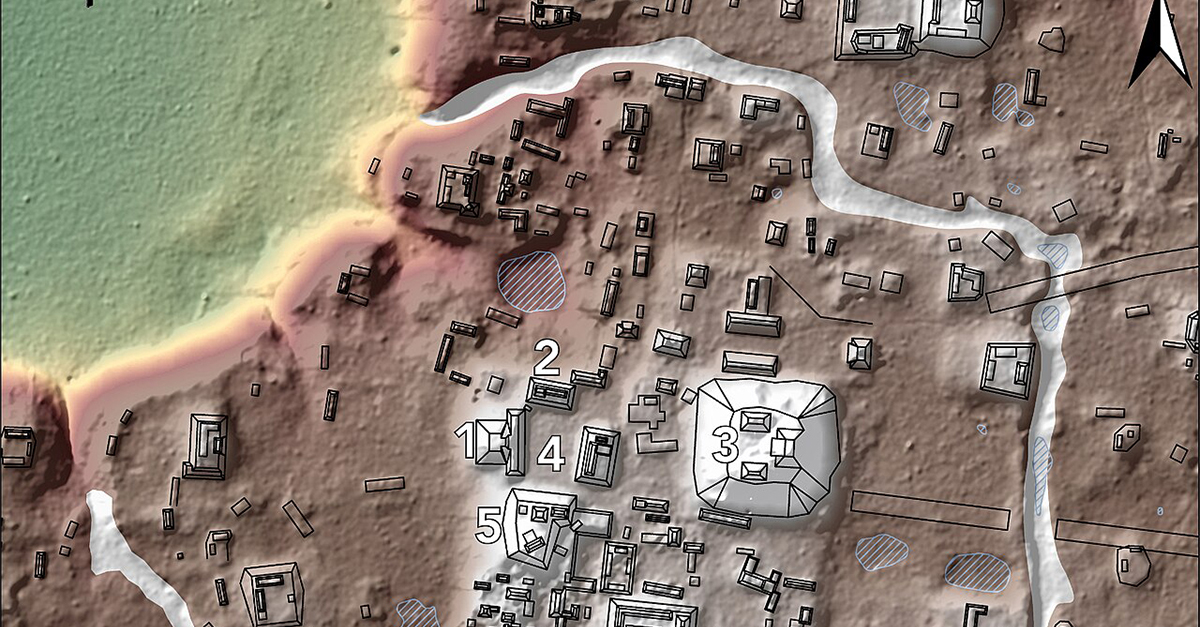
Traditional archaeology often depends on walking surveys and excavations, but forests can hide even massive structures. Remote sensing allows researchers to map landscapes from the air, identifying subtle changes in elevation and vegetation that reveal ancient human activity invisible from ground level.
What Is LiDAR?
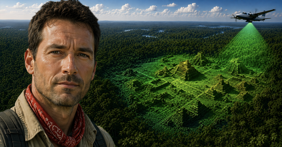
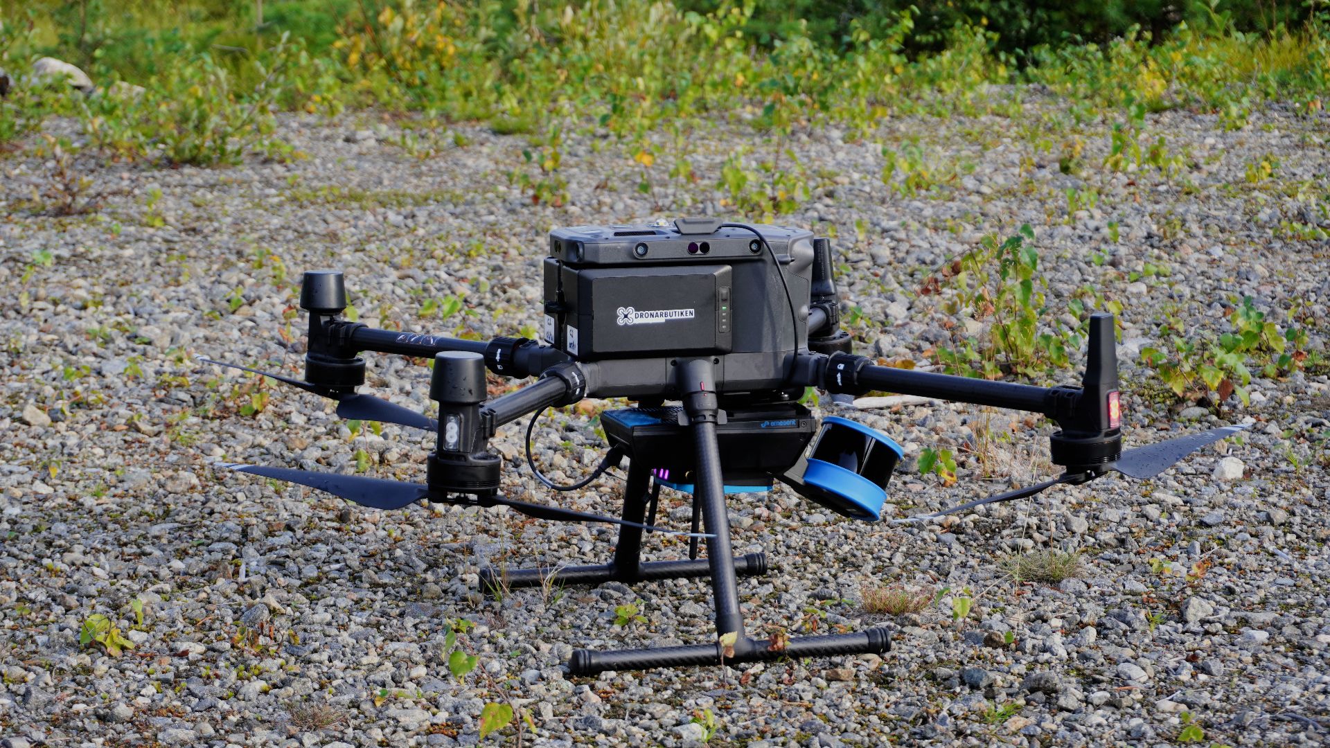
LiDAR, short for Light Detection and Ranging, is one of archaeology's most important modern tools. Mounted on aircraft or drones, it sends millions of laser pulses toward the ground. By measuring how long each pulse takes to return, scientists create highly detailed three dimensional maps.
Seeing Through Vegetation
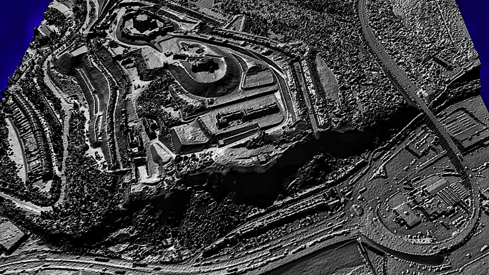
Most LiDAR pulses strike leaves and branches, but many continue through gaps in the canopy and reach the forest floor. Specialized software removes the vegetation data, leaving a remarkably accurate model of the terrain that exposes buried walls, roads, terraces, and foundations.
 Dr John Wells, Wikimedia Commons
Beyond LiDAR
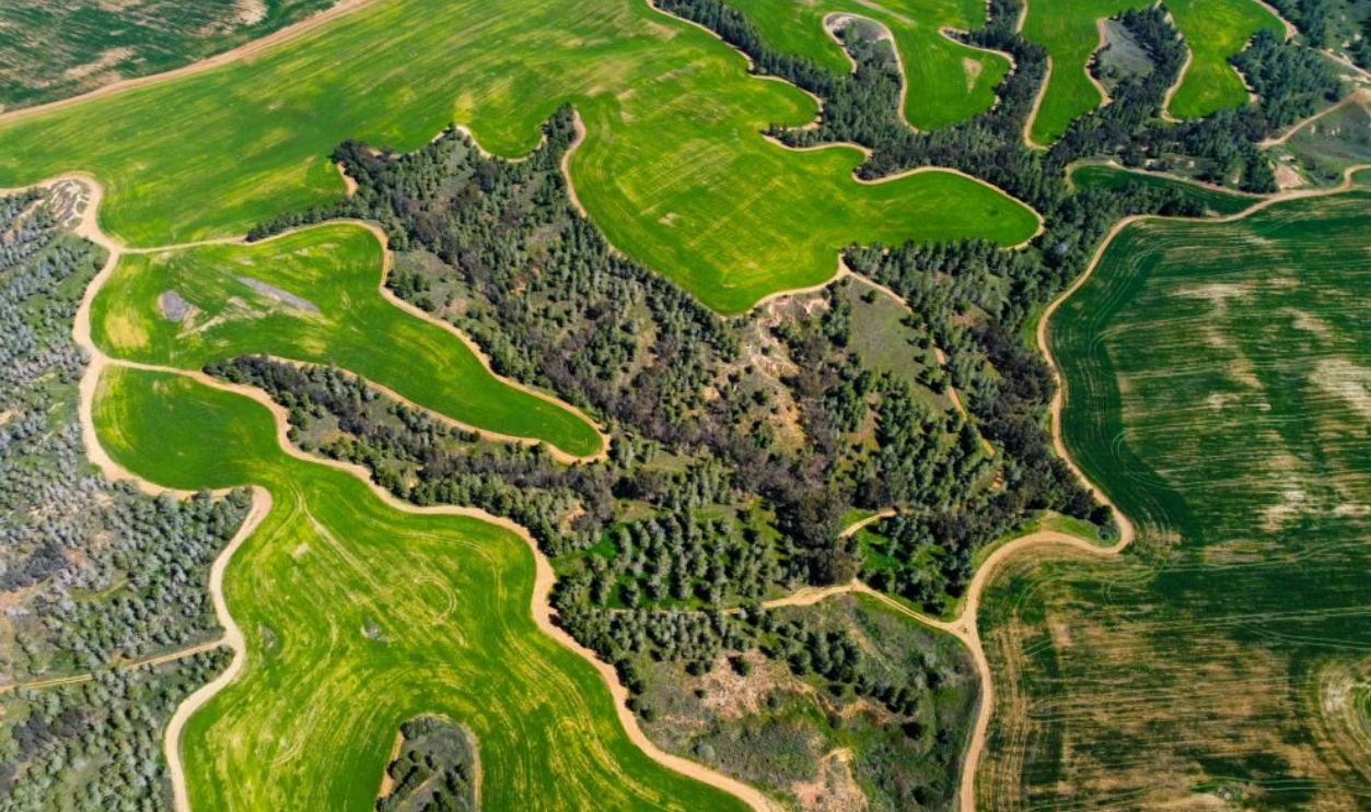
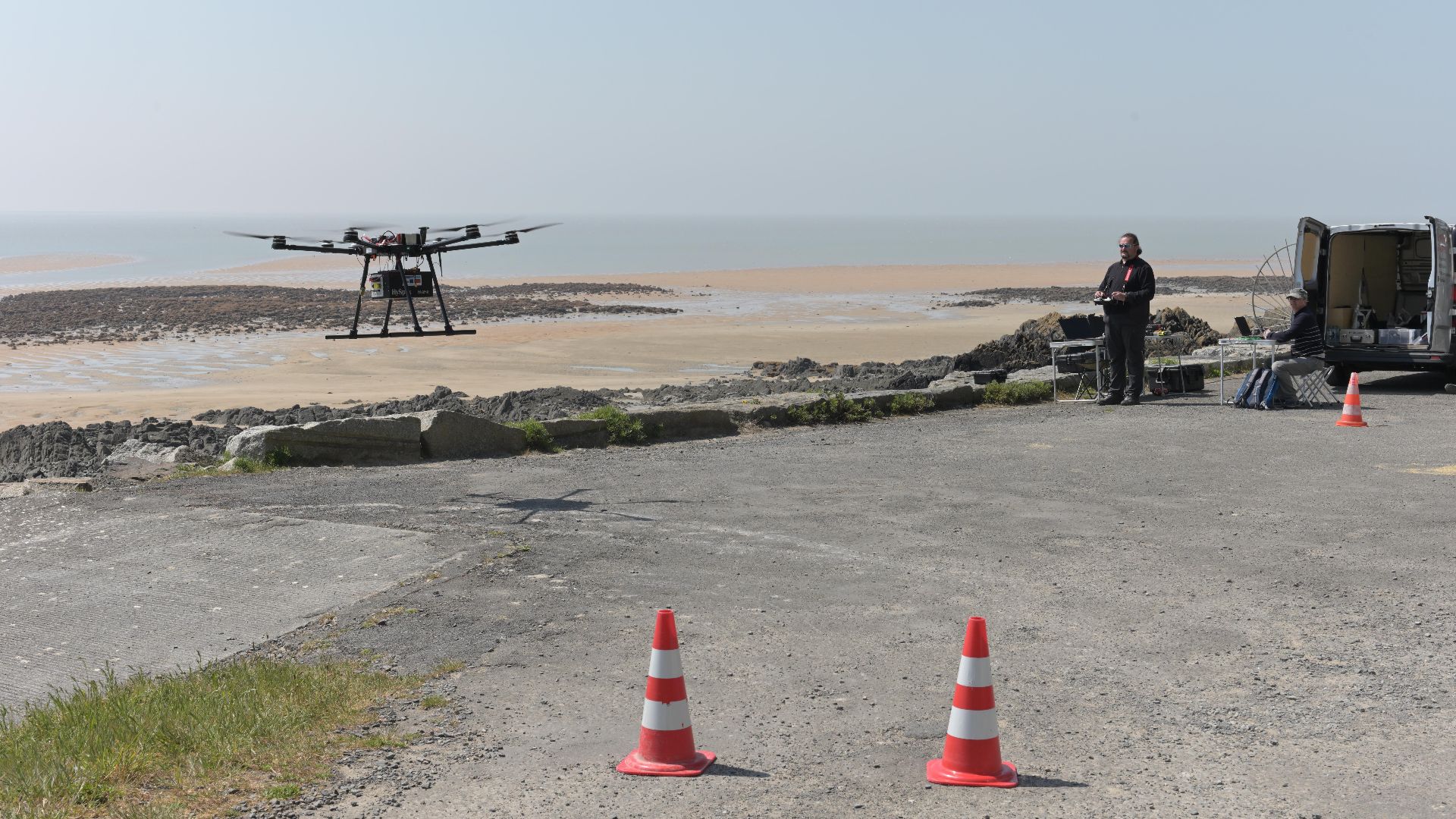
Archaeologists also use satellite imagery, multispectral imaging, hyperspectral sensors, synthetic aperture radar, drone photography, and photogrammetry. Each technology contributes different information, helping researchers identify buried structures, ancient agricultural systems, water management features, and landscape modifications across enormous regions.
 Stephane Lesbats, Wikimedia Commons
Guatemala's Maya Megalopolis
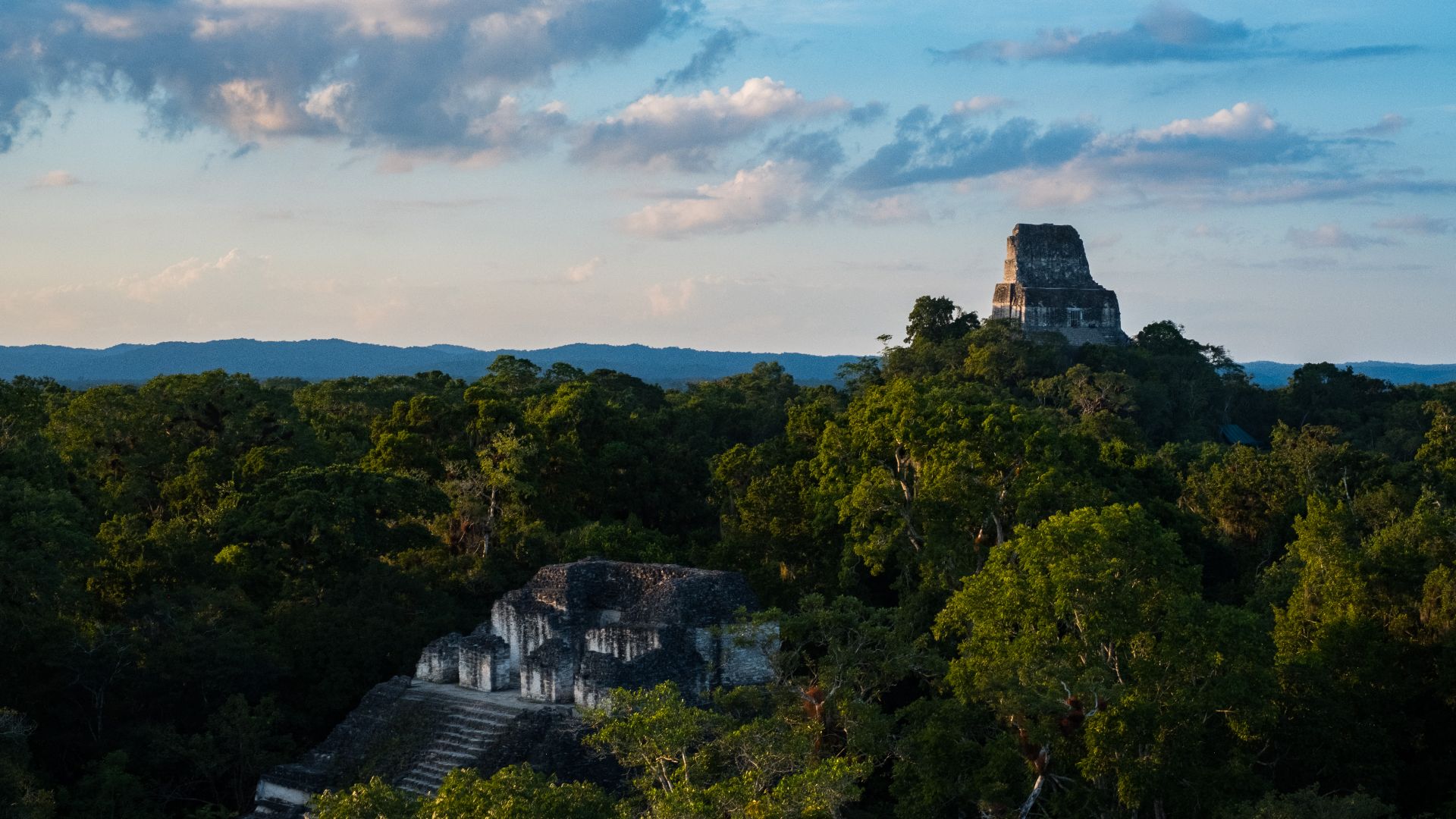
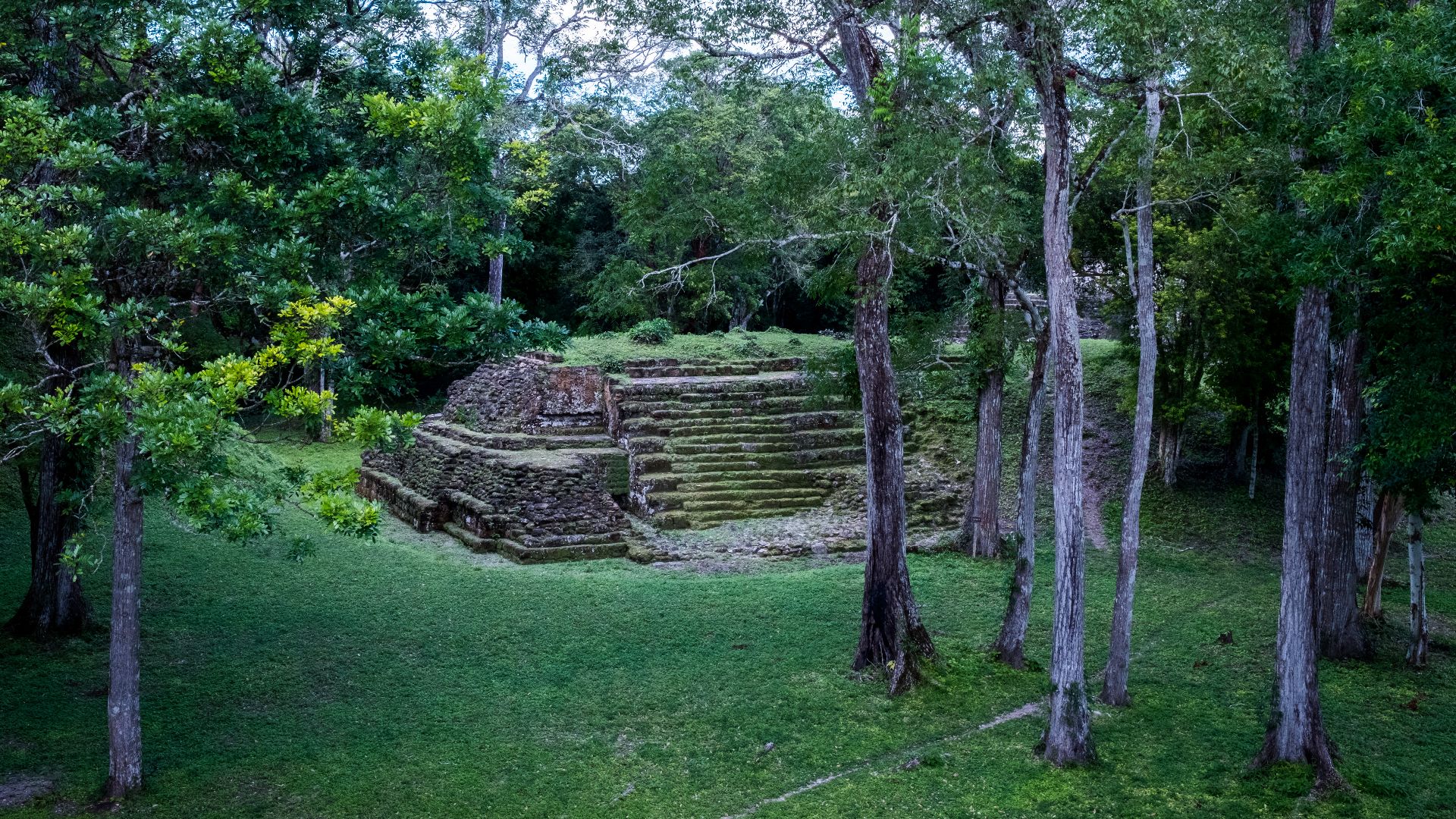
One of LiDAR's greatest successes came in northern Guatemala, where surveys of the Maya Biosphere Reserve revealed more than 60,000 previously unknown structures. Researchers identified interconnected cities, defensive walls, elevated highways, reservoirs, and extensive agricultural systems hidden beneath dense rainforest.
 USAID Biodiversity & Forestry, Wikimedia Commons
A Vast Connected Civilization
The Guatemalan discoveries demonstrated that many Maya cities were linked by elevated causeways stretching for miles. Population estimates increased dramatically as archaeologists realized the region supported millions more people than previously believed during the Classic Maya period.
 USAID Biodiversity & Forestry, Wikimedia Commons
Caracol Reimagined
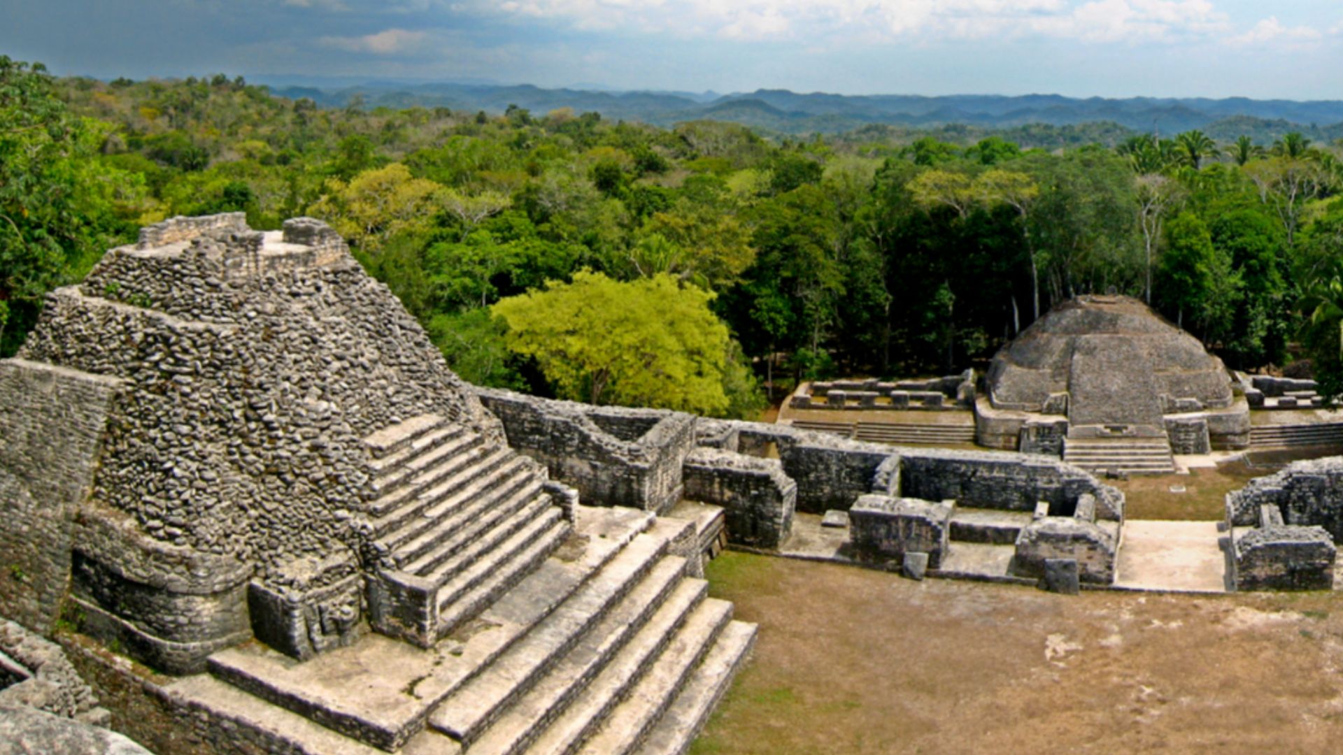
At the ancient Maya city of Caracol in Belize, LiDAR revealed an enormous urban landscape extending well beyond previously excavated areas. Residential neighborhoods, agricultural terraces, reservoirs, and road networks showed that the city covered far more territory than surface exploration suggested.
Tikal's Hidden Features
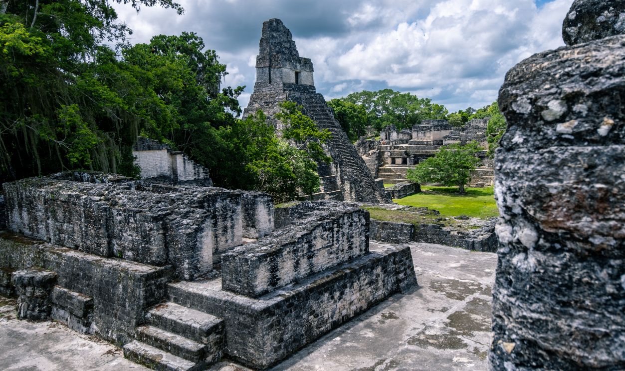
LiDAR surveys around Tikal uncovered defensive earthworks, residential districts, and ceremonial structures concealed beneath forest growth. Researchers also discovered a previously unknown ceremonial complex whose design closely resembled architecture associated with Teotihuacan in central Mexico.
Calakmul's Expanding Landscape
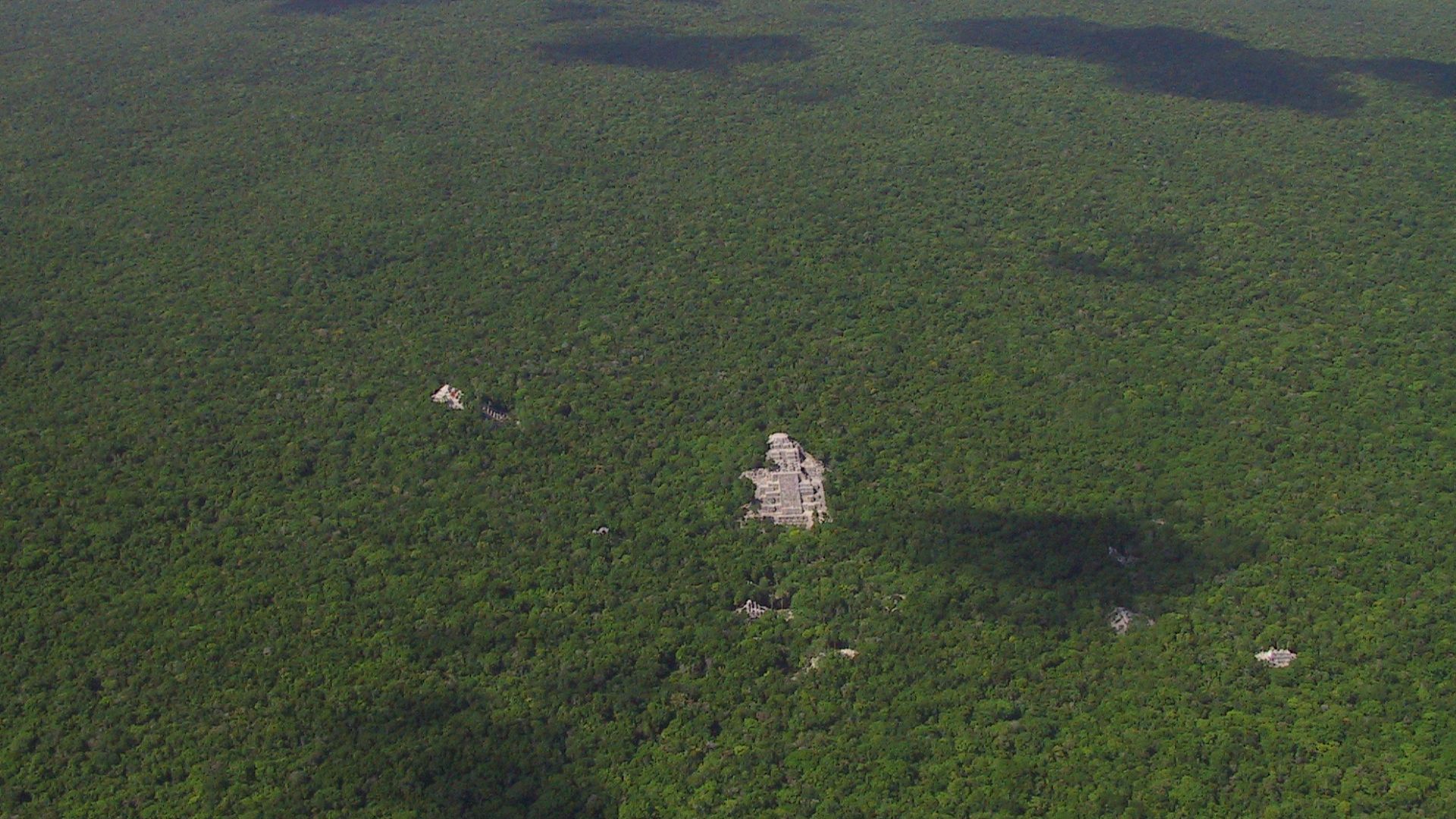
Remote sensing has also transformed understanding of Calakmul in Mexico. LiDAR mapping identified extensive agricultural infrastructure, reservoirs, causeways, and surrounding settlements, demonstrating that the city's influence extended across a much larger landscape than archaeologists had previously documented.
 Lugares INAH, Wikimedia Commons
Discoveries In Mexico
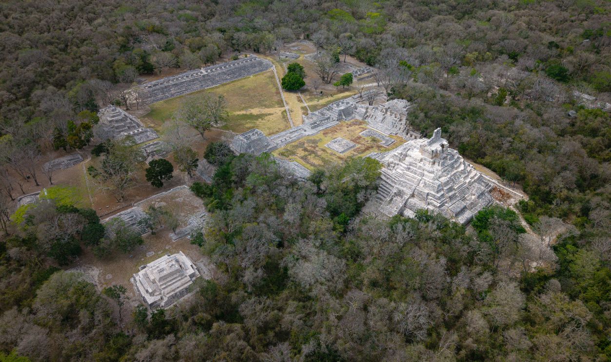
LiDAR has identified numerous additional Maya settlements throughout Mexico's Yucatán Peninsula. Hidden pyramids, plazas, defensive walls, and transportation routes continue to emerge as larger portions of the landscape are systematically scanned from the air.
Ancient Amazon Settlements
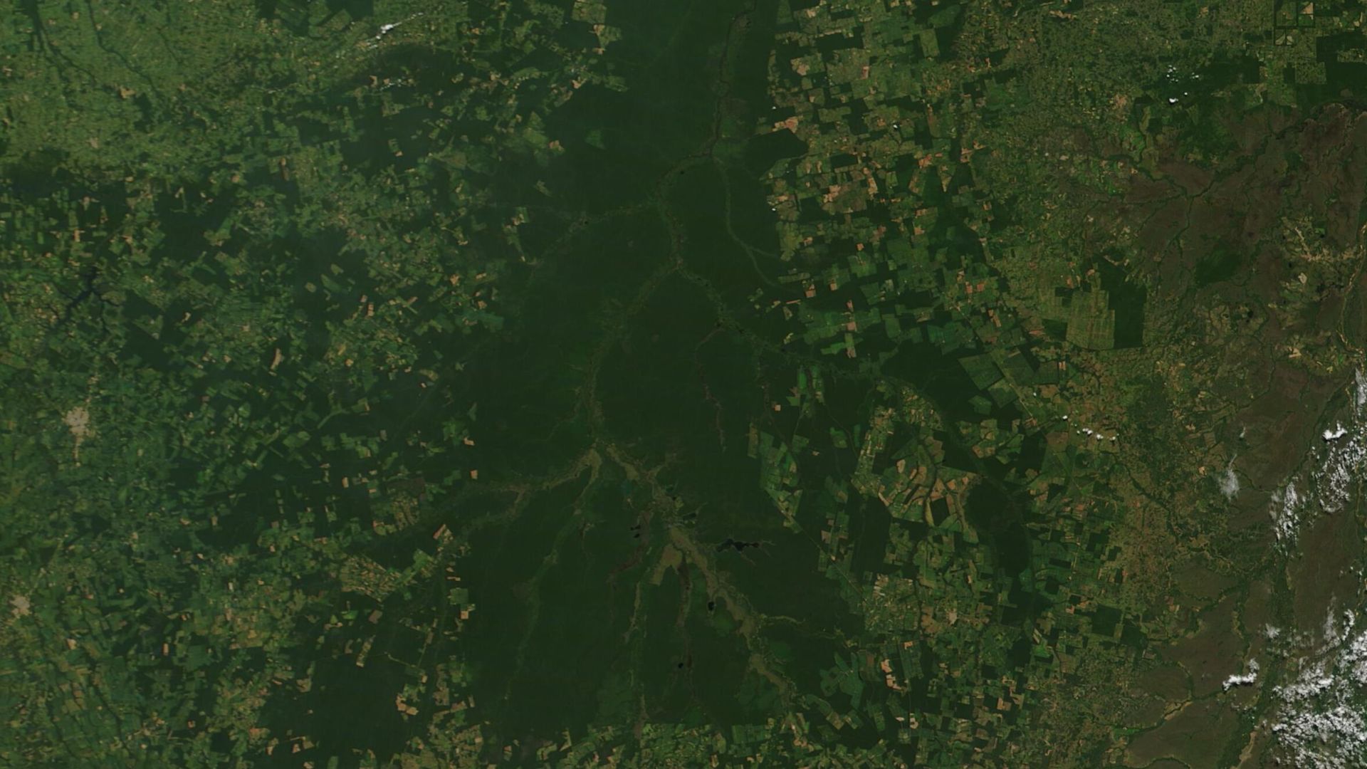
For decades, many researchers believed the Amazon rainforest could not support large urban populations. Remote sensing has overturned that assumption by revealing extensive settlements connected by roads, canals, plazas, and earthworks throughout several regions of the Amazon Basin.
 MODIS Land Rapid Response Team, NASA GSFC, Wikimedia Commons
Ecuador's Upano Valley
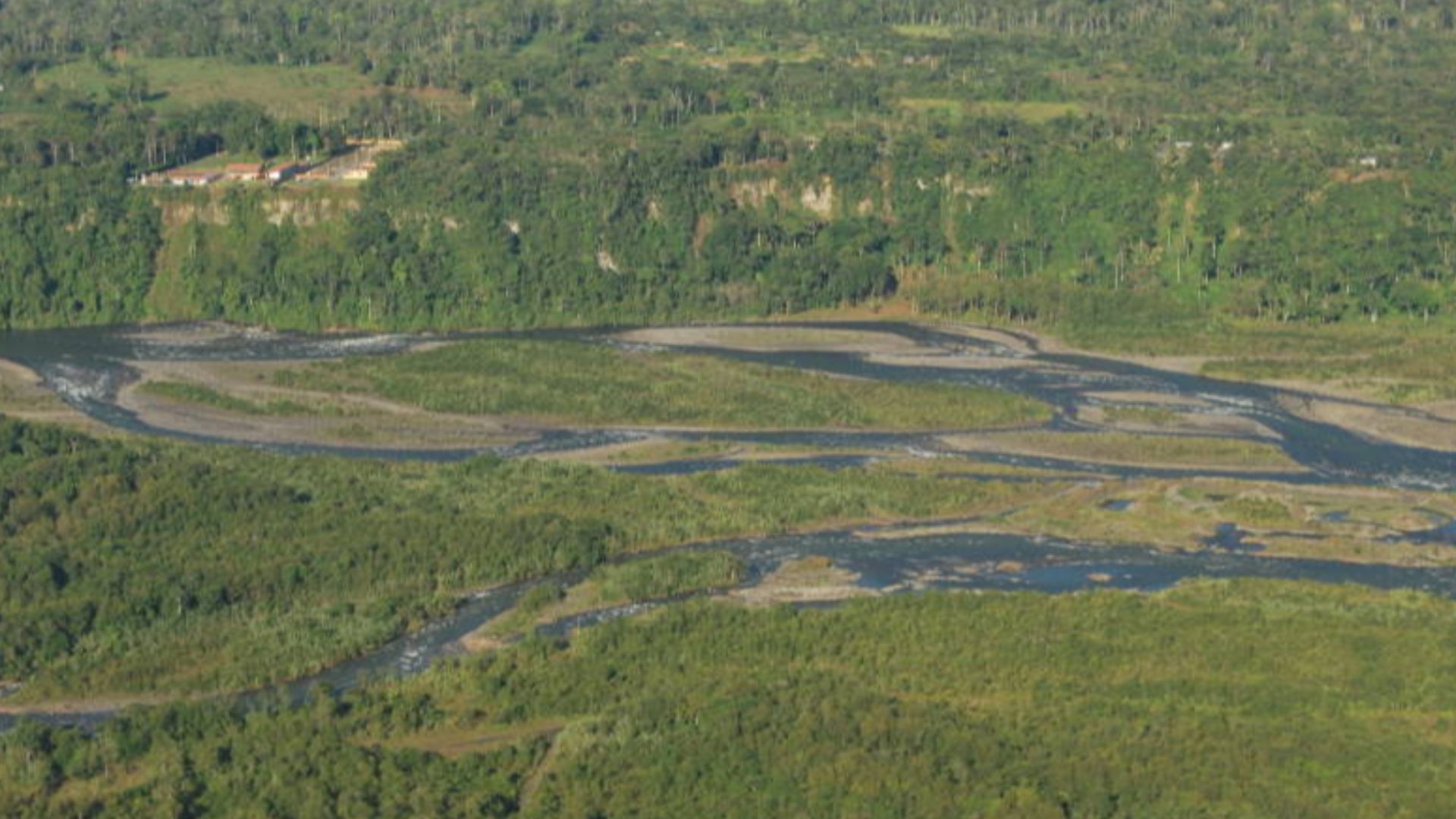
In Ecuador's Upano Valley, LiDAR uncovered a network of interconnected settlements occupied roughly 2,500 years ago. Archaeologists identified thousands of earthen platforms, residential compounds, ceremonial areas, and remarkably straight roads linking communities across more than one hundred square miles.
 Diego Tirira from Quito, Ecuador, Wikimedia Commons
Acre's Geoglyph Builders
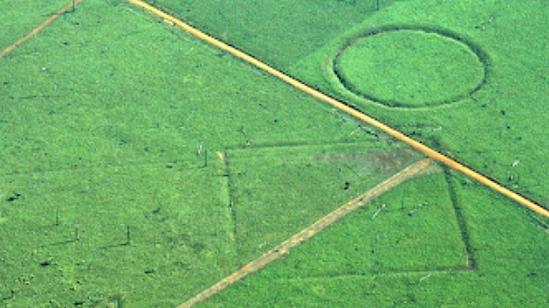
Brazil's Acre state contains hundreds of enormous geometric earthworks that became visible after deforestation and satellite surveys. LiDAR and aerial mapping have revealed surrounding settlements and transportation networks, indicating sophisticated societies occupied southwestern Amazonia long before European contact.
 Sanna Saunaluoma, Wikimedia Commons
Bolivia's Monumental Earthworks
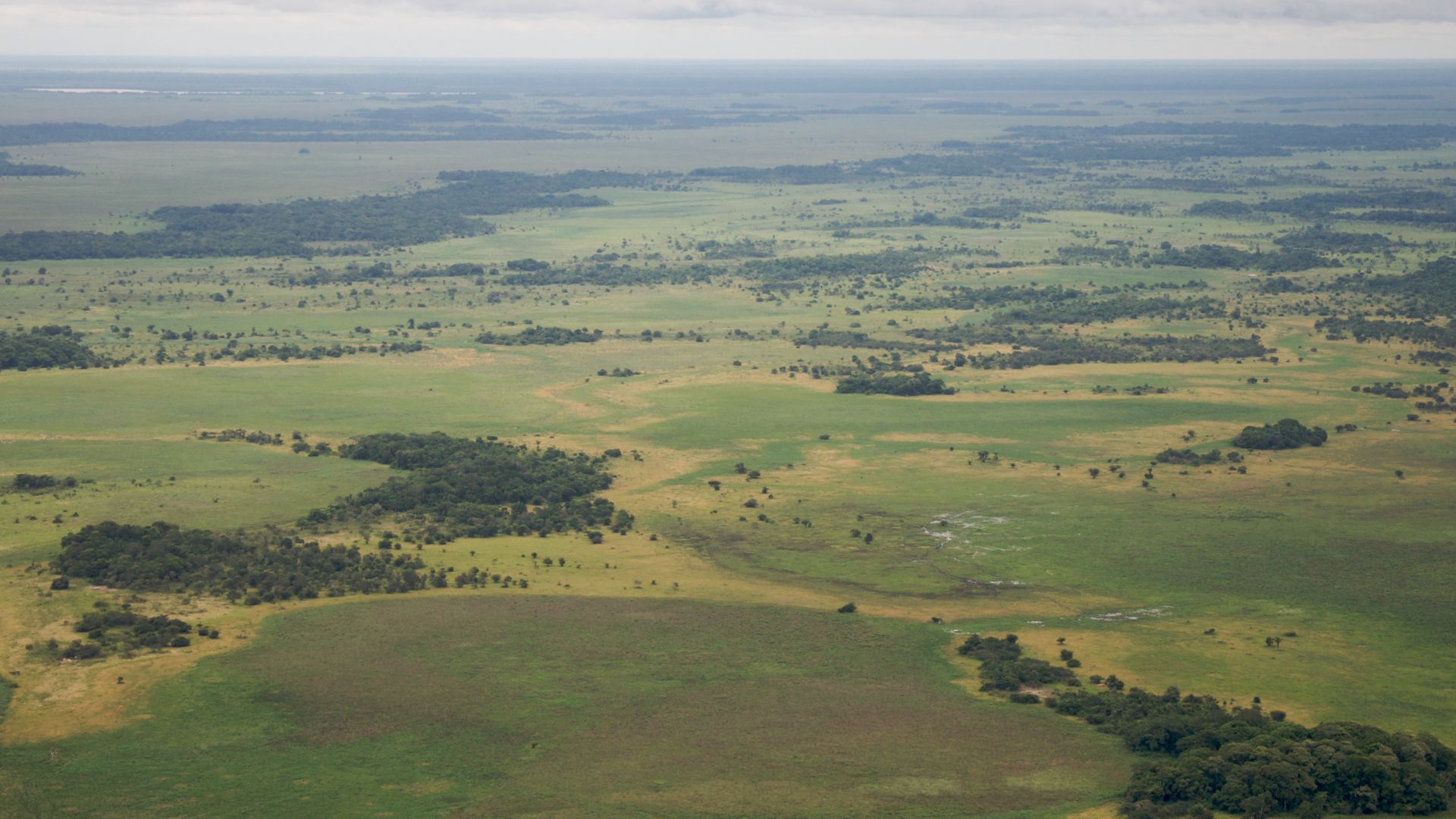
Remote sensing has transformed research into the Casarabe culture of Bolivia. LiDAR revealed large urban centers connected by raised causeways, canals, reservoirs, and agricultural infrastructure, suggesting a low density urban civilization spanning vast areas of the Llanos de Mojos.
Peru's Hidden Landscapes
Peru's mountainous cloud forests present unique surveying challenges. LiDAR has helped archaeologists identify previously unknown terraces, roads, ceremonial centers, and settlement patterns associated with ancient Andean cultures, complementing traditional field investigations in difficult terrain.
Chachapoya Discoveries
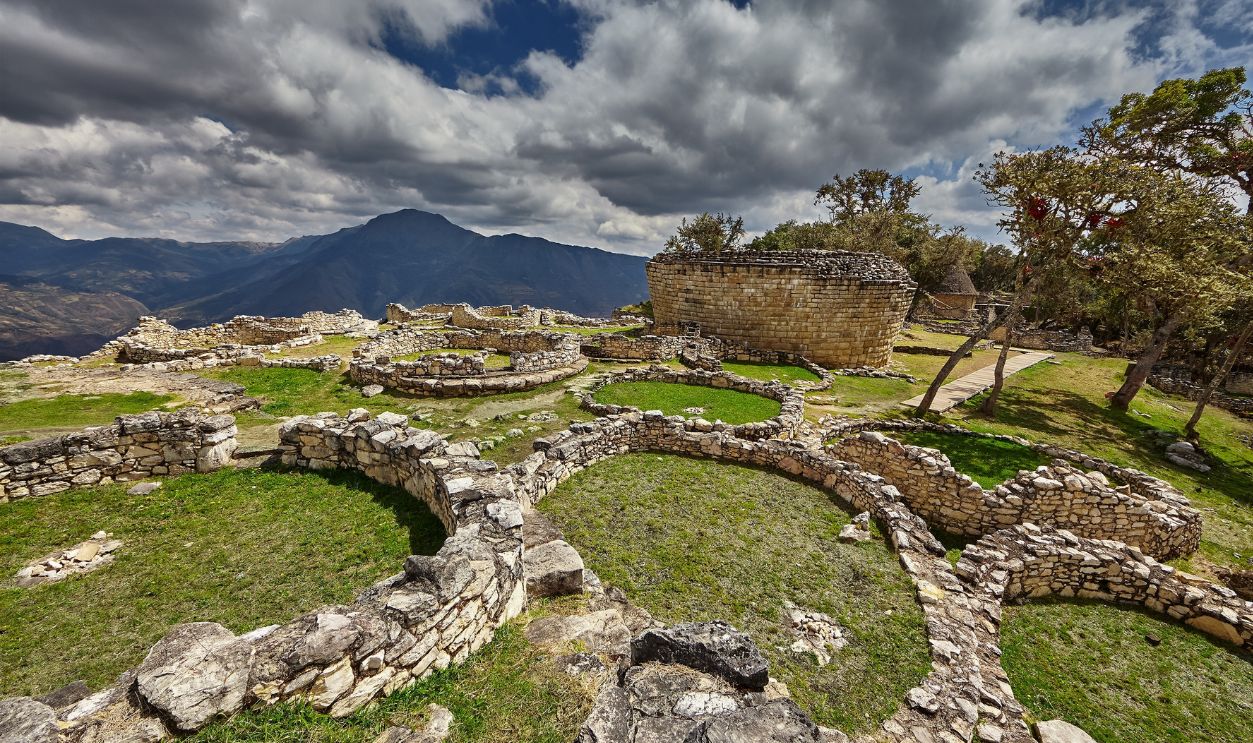
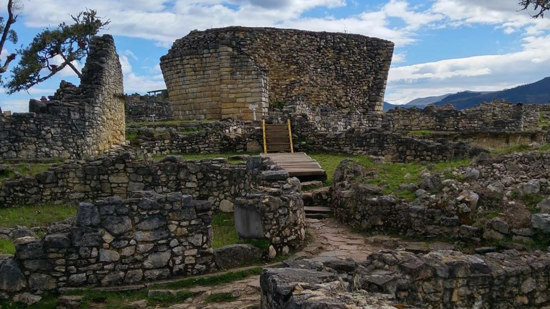
LiDAR has proven especially valuable for studying the Chachapoya civilization in northern Peru. Dense vegetation had concealed many settlements, defensive walls, terraces, and burial sites, but remote sensing is allowing archaeologists to map these landscapes far more comprehensively.
 Luis Cristhian Chu Alvarez, Wikimedia Commons
Tonga's Forgotten Settlements
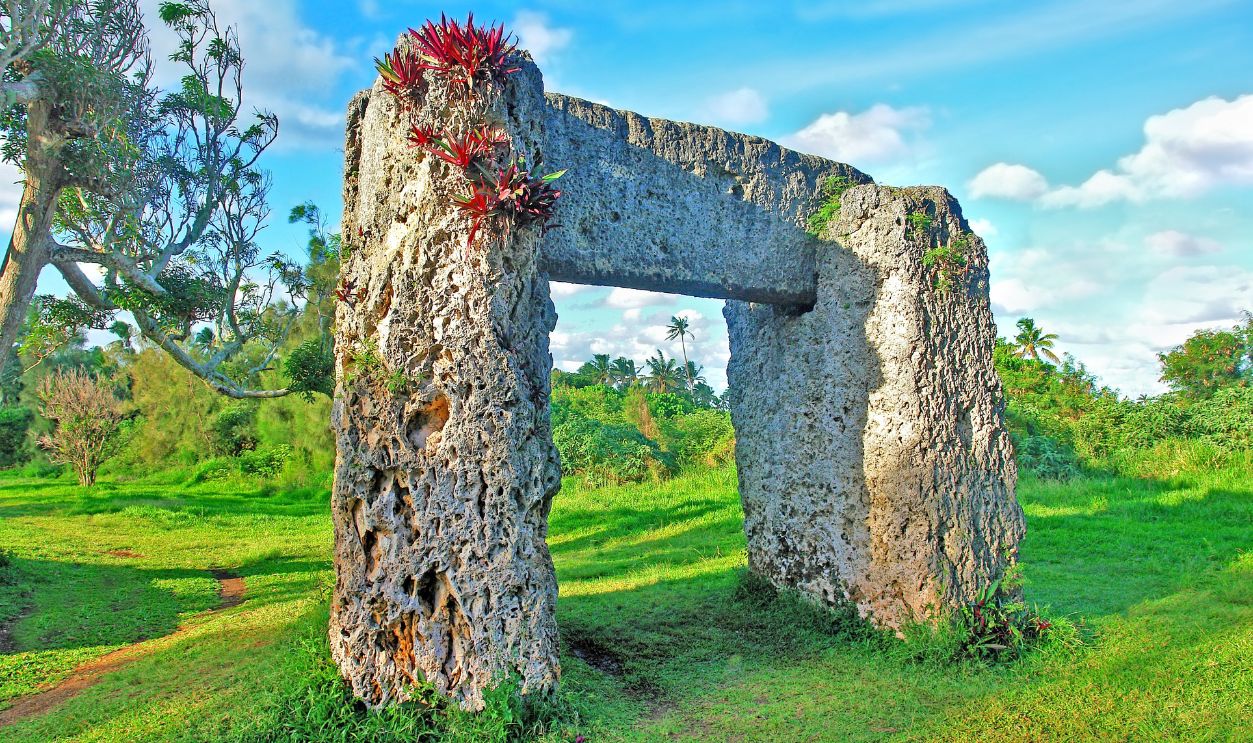
On the Pacific islands of Tonga, LiDAR has helped researchers document ancient mounds, ceremonial complexes, fortifications, and habitation sites hidden beneath dense tropical vegetation. The technology is providing new insight into Polynesian settlement patterns and political organization.
Cambodia's Lost Capitals
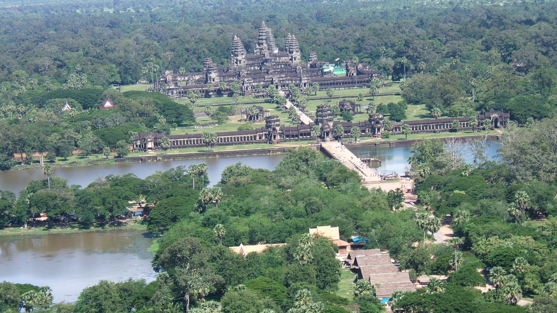
Perhaps the world's most famous LiDAR success occurred around Angkor in Cambodia. Researchers uncovered enormous urban districts, canals, reservoirs, and road systems extending far beyond the famous temples, revealing one of history's largest preindustrial urban landscapes.
 shankar s. from Dubai, united arab emirates, Wikimedia Commons
Finding Ancient Roads
Remote sensing often reveals transportation networks before individual buildings. Elevated causeways, stone roads, bridges, and pathways frequently appear clearly in LiDAR data because human construction subtly altered the surrounding terrain thousands of years ago.
Mapping Ancient Agriculture
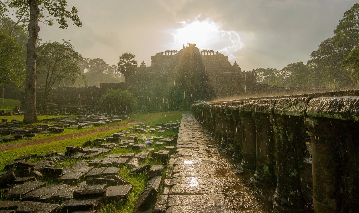
LiDAR also exposes ancient farming systems. Researchers have documented terraces, irrigation canals, raised fields, drainage systems, and managed landscapes, showing how ancient civilizations supported surprisingly large populations in environments once considered unsuitable for intensive agriculture.
Guiding Excavations
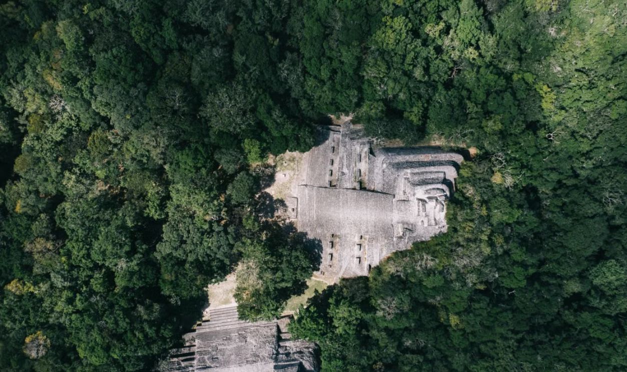
Remote sensing does not replace excavation. Instead, archaeologists use these maps to decide where to dig, saving enormous amounts of time while minimizing unnecessary disturbance to archaeological sites and surrounding ecosystems.
Protecting Vulnerable Sites
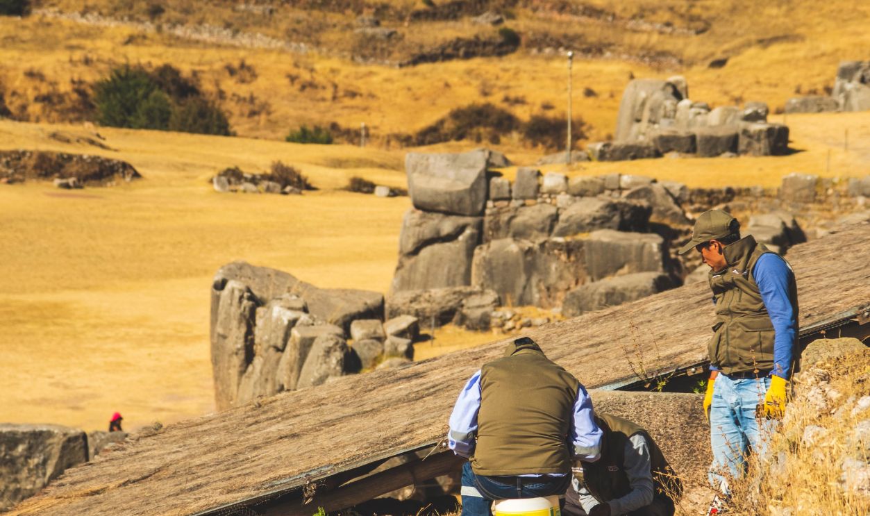
Detailed digital maps also help governments protect archaeological resources from looting, illegal development, mining, logging, and infrastructure projects. Many newly identified sites remain intentionally undisclosed to reduce the risk of damage before proper documentation occurs.
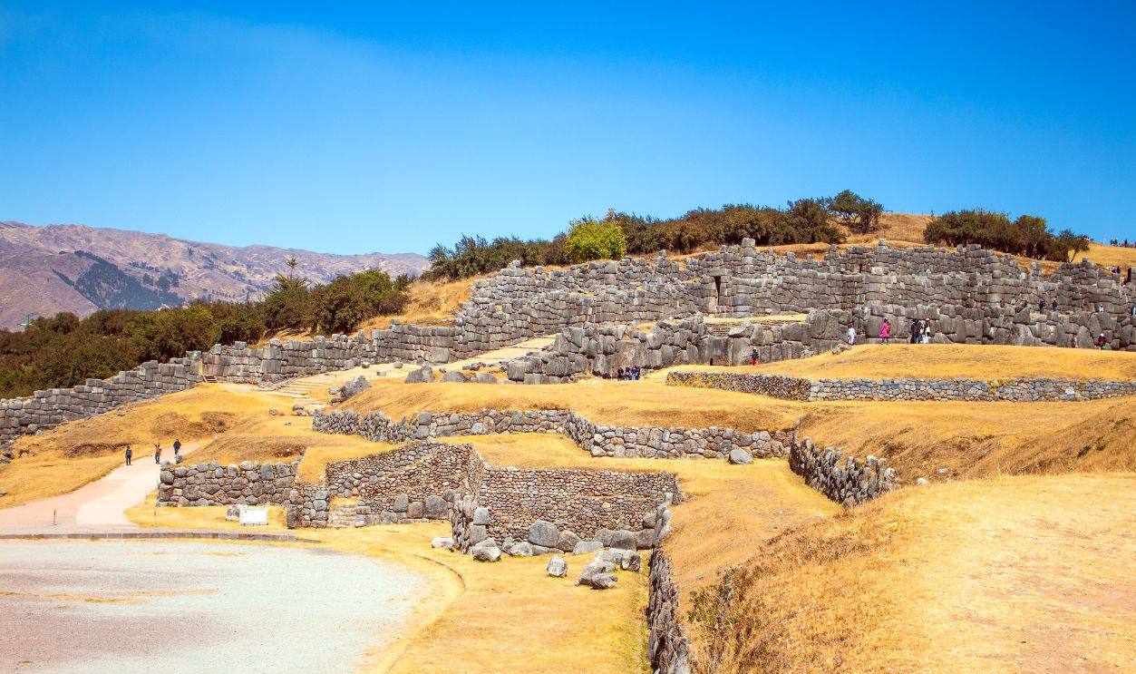 Luciano Rossitti Quevedo, Pexels
Technology Keeps Improving
New generations of airborne lasers, drones, artificial intelligence, satellite sensors, and increasingly sophisticated software continue to add improvements to archaeological surveys. Larger regions can now be mapped faster, more accurately, and at lower cost than was possible just a decade ago.
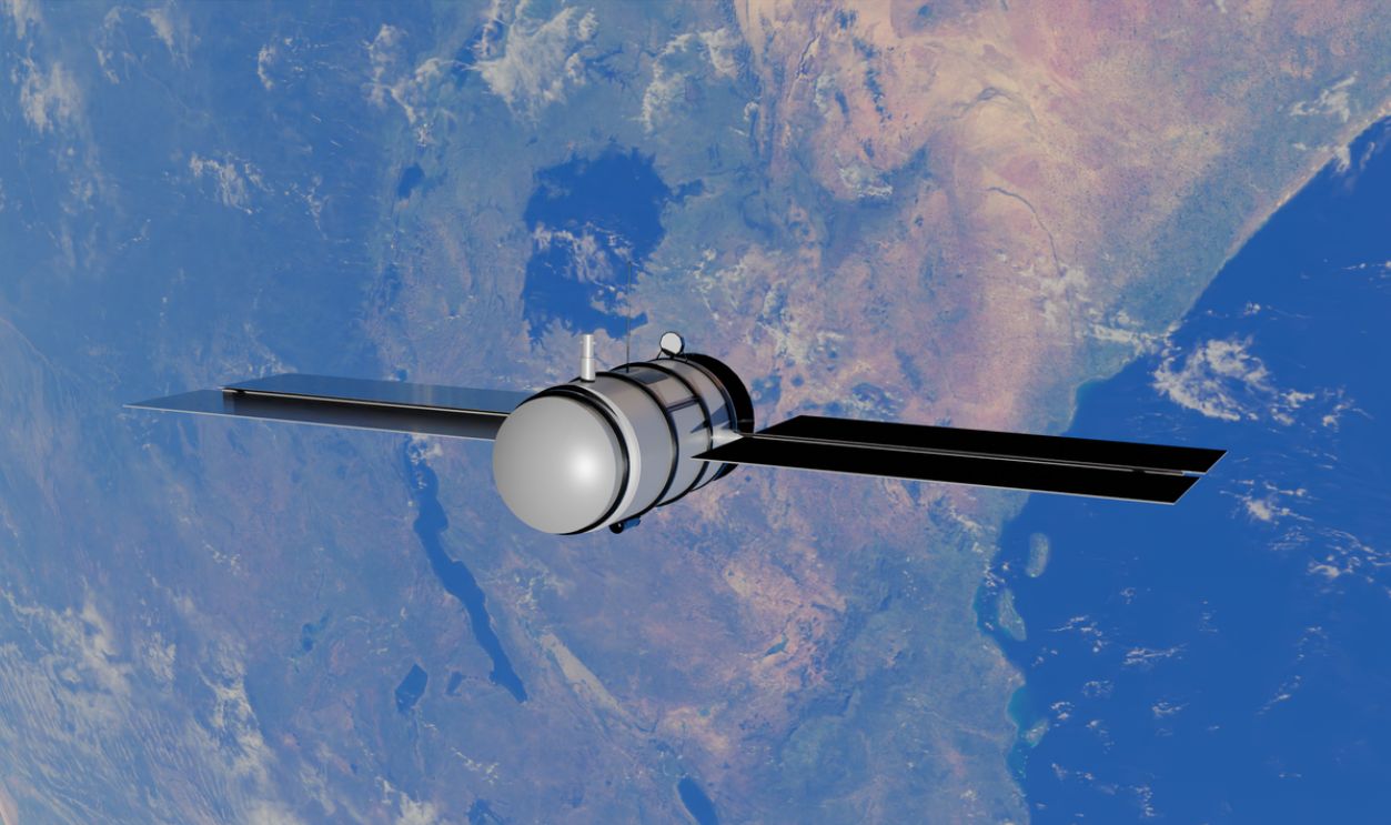
A Revolution In Archaeology
Remote sensing technologies have fundamentally changed archaeology by revealing cities and landscapes hidden beneath forests around the world. From the Maya lowlands and the Amazon to Peru, Bolivia, Cambodia, and Tonga, these tools continue uncovering evidence that ancient civilizations were often larger, more interconnected, and more sophisticated than previously understood.

You May Also Like: