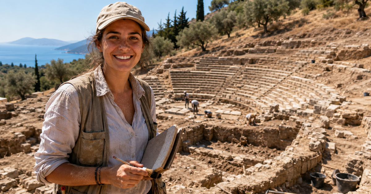
Unearthing Veii’s Hidden World
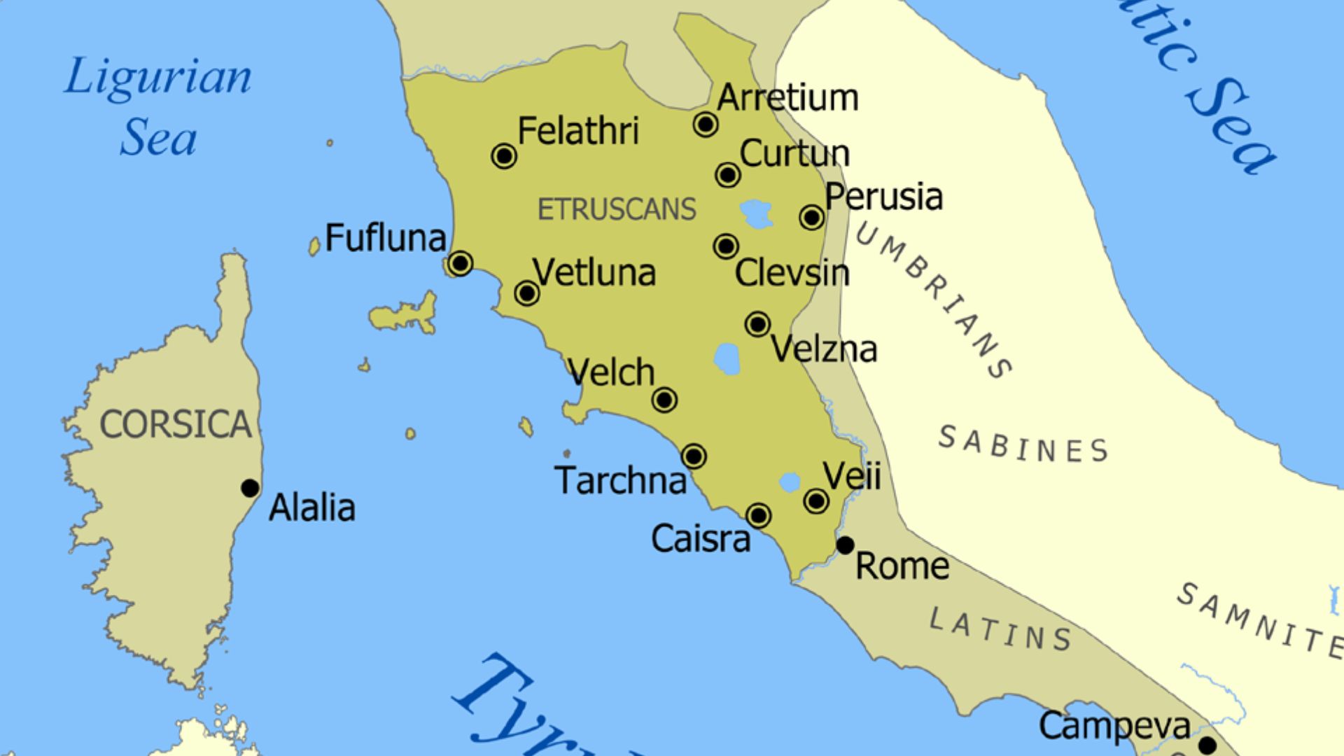
Imagine a city so close to ancient Rome that it shared the same landscape, the same fertile river plains, and the same strategic advantages—yet for a long time stood as Rome’s rival instead of its subject. That city was Veii, one of the wealthiest and most powerful members of the Etruscan League. For the first time, archaeologists have now digitally mapped the extensive underground tunnel network beneath this ancient city, revealing a hidden world previously lost to time.
 Jonathan Fuentes, Pexels, Modified
Veii: A Powerful Etruscan City Near Rome
Veii (also spelled Veio) was an important Etruscan city located just about 12–16 km north-northwest of the early Roman settlement. It dominated trade routes, controlled fertile land, and held rich mineral resources, making it one of the most prosperous centers in central Italy long before Rome became an empire. Its wealth was tied to both economic and cultural influence across the region.
 George Dennis, Wikimedia Commons
Rivalry With Rome
Veii wasn’t content to sit quietly in Rome’s shadow. Its position controlling access to the Tiber River corridor put it in direct competition with early Rome. The storied Battle of Veii, a protracted conflict between Rome and the Etruscan city, ended in 396 BCE with Veii’s defeat at the hands of the Roman army under Marcus Furius Camillus, forever altering the balance of power in the region.
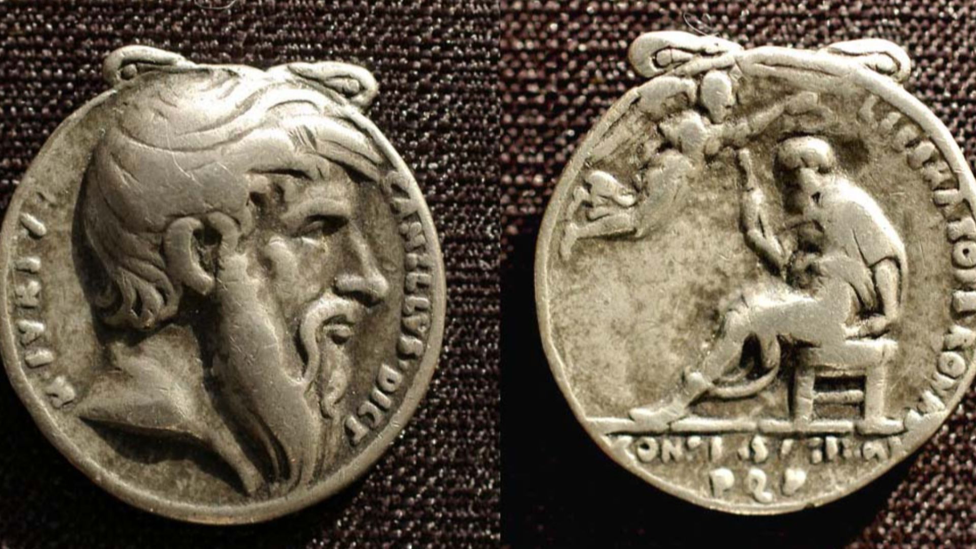 The Portable Antiquities Scheme, Adam Daubney, 2005-10-25 12:12:35, Wikimedia Commons
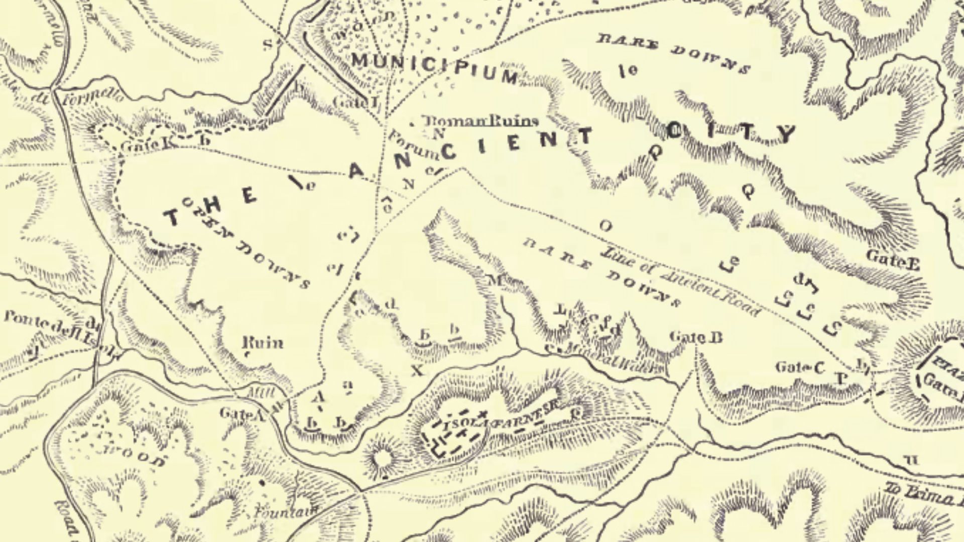
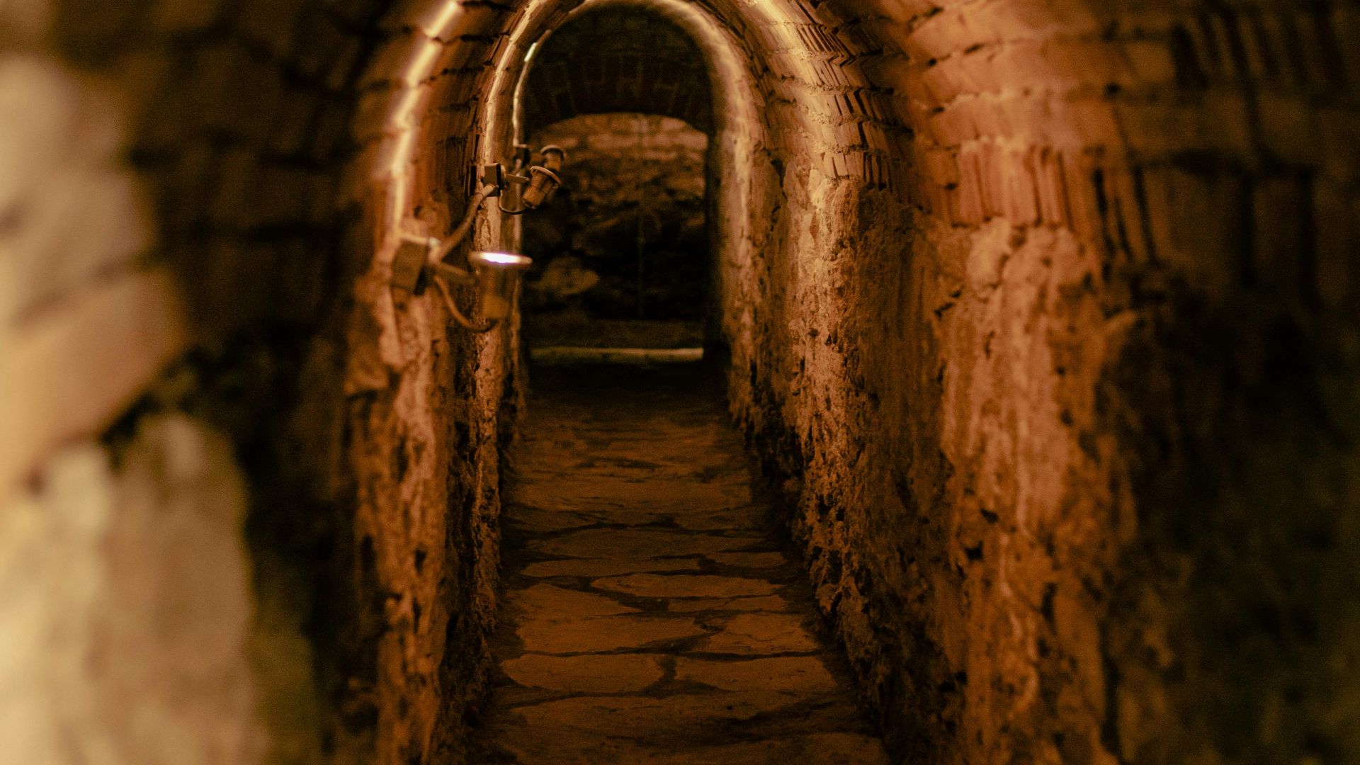
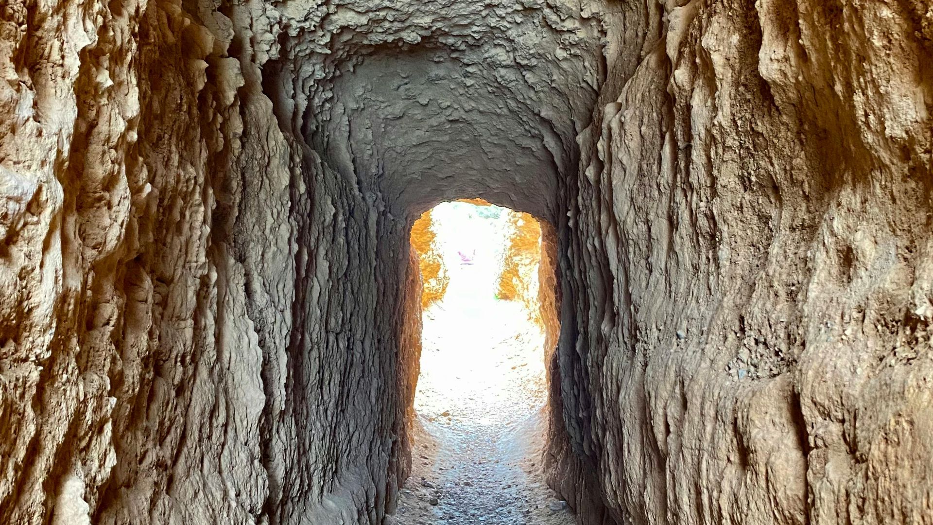
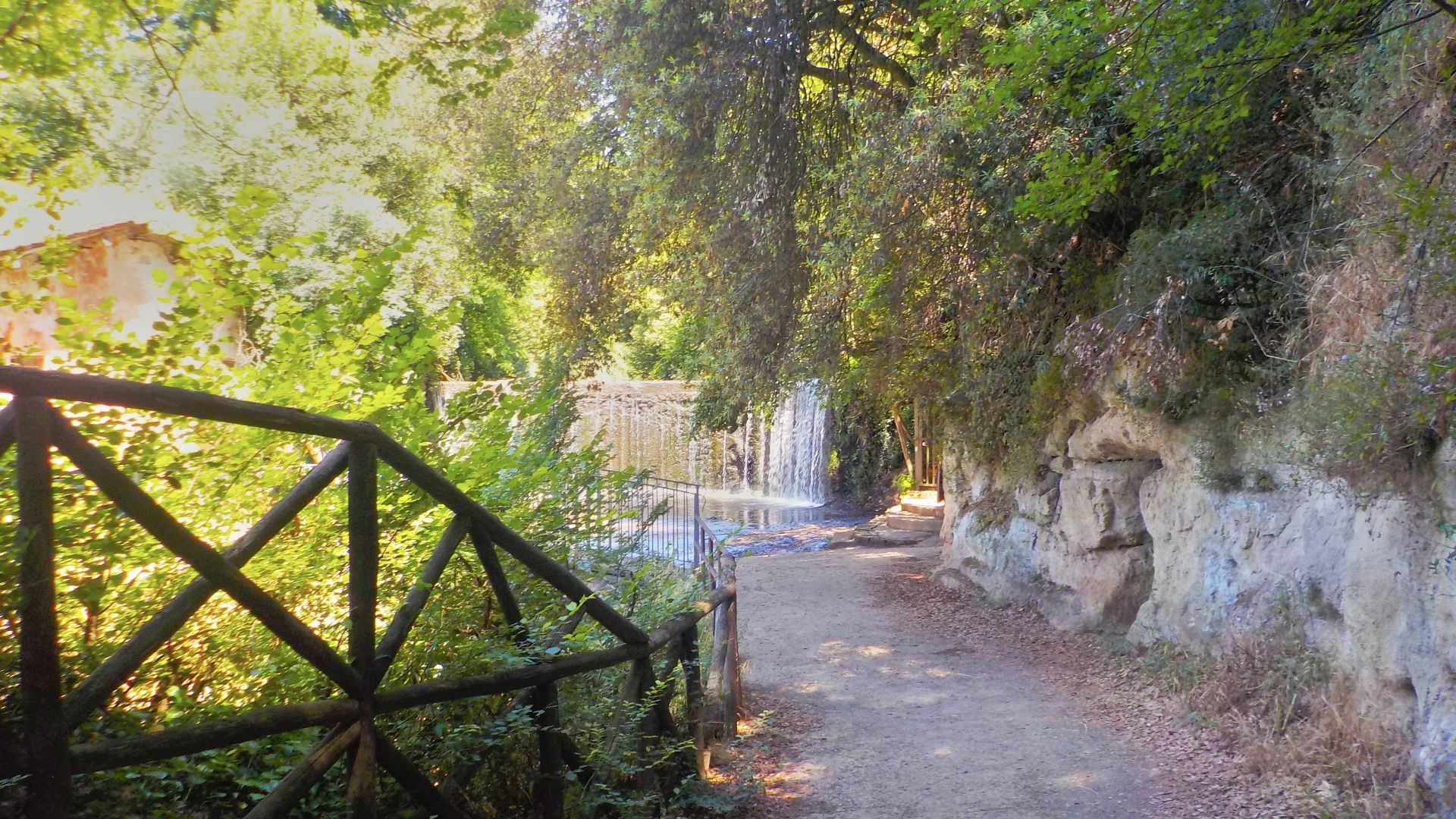
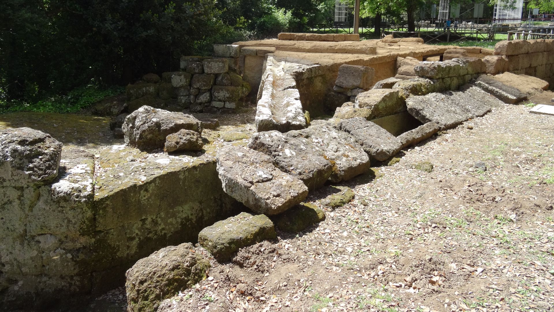
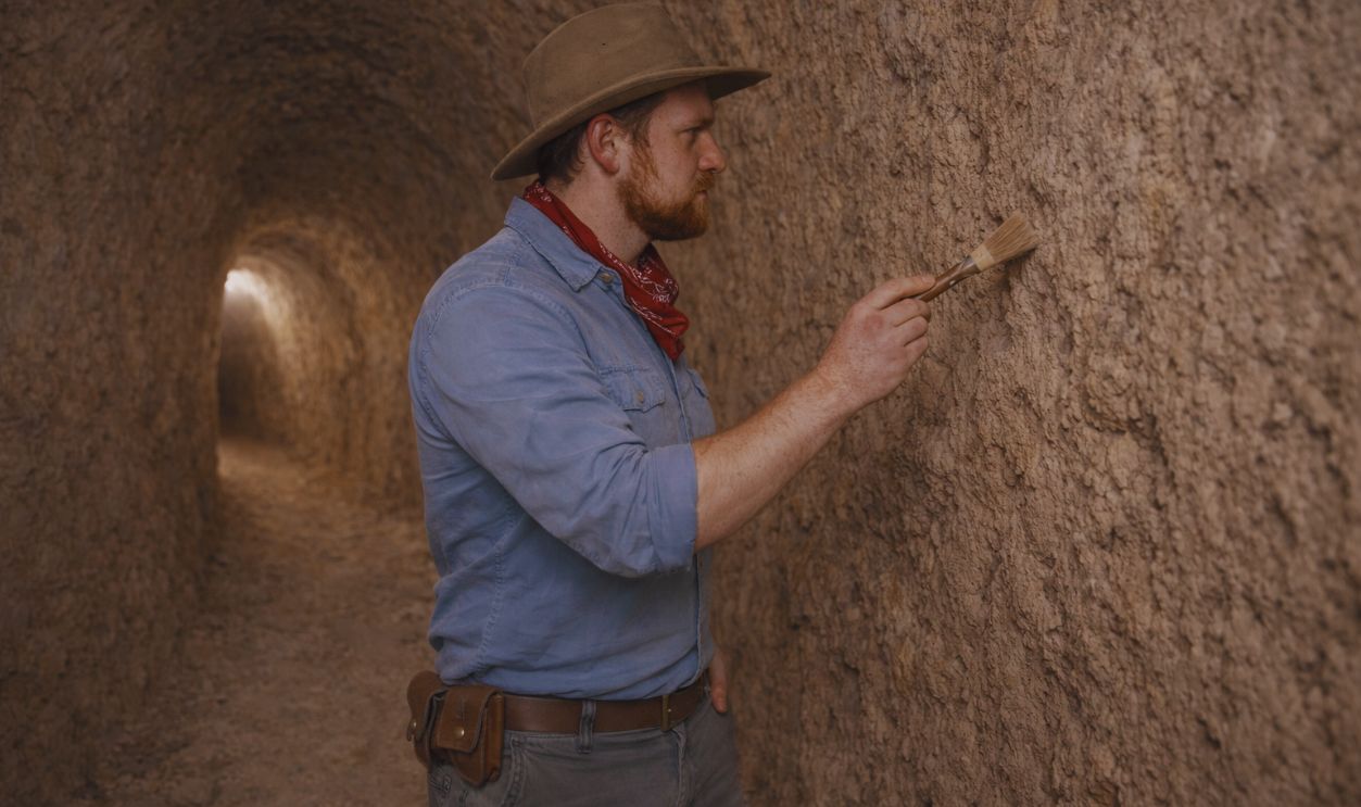
What Was Hidden Beneath Veii
For centuries, archaeologists knew that something lay beneath the city’s ruins: ancient references to cuniculi (underground water channels and tunnels) hinted at complex infrastructure. These had been partially explored in bits and pieces, but no one had ever managed to document the full tunnel network—until now.
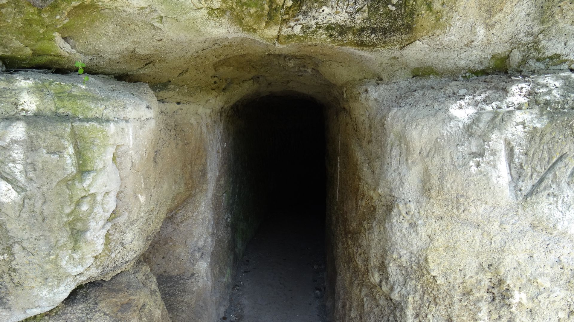 Livioandronico2013, Wikimedia Commons
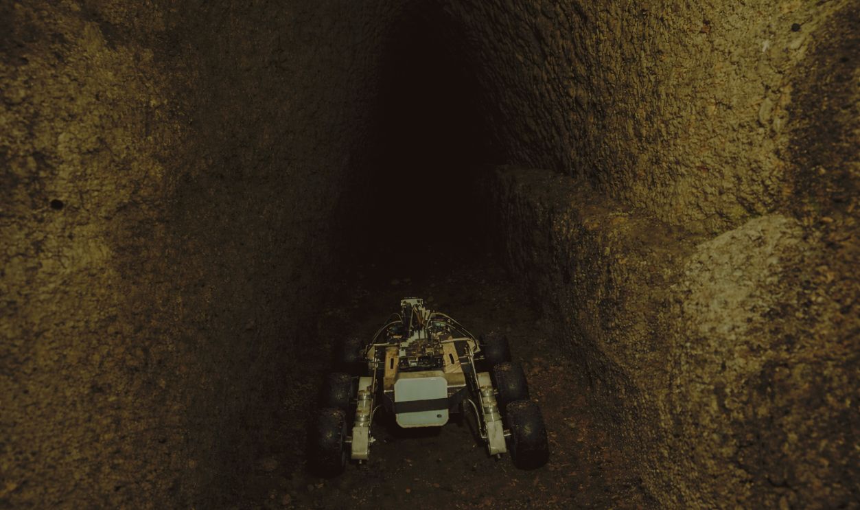
A Technological Leap In Archaeology
The breakthrough came thanks to a multi-institutional project led by the Museo Nazionale Etrusco di Villa Giulia and Sapienza University of Rome, with support from Italy’s Ministry of Culture. Researchers used an autonomous rover called Magellano, equipped with mobility and imaging systems inspired by NASA’s Mars rovers. This robot could traverse narrow, unstable passages that would be unsafe or impossible for people to enter. It transmitted imagery and data back to the surface in real time, allowing scientists to create a detailed digital map of the subterranean world.
 Vlad Lesnov, Wikimedia Commons
Magellano And The Cuniculi
Magellano explored long-forgotten galleries, hidden channels, cisterns, wells, and ritual basins, features that collectively show an underground landscape far larger and more complex than anyone expected. These weren’t random pits or natural caves; they were planned, engineered structures that supported water management, civic life, and possibly religious practices.
Mapping The Underground For The First Time
What makes this project special is that it represents the first full digital mapping of the tunnel system beneath Veii. Previous efforts had only scratched the surface. Now, archaeologists have a clear image of how the tunnels connected the Campetti plateau, the Sanctuary of Portonaccio, and the Cannetaccio valley, weaving together vital parts of the ancient city.
 Livioandronico2013, Wikimedia Commons
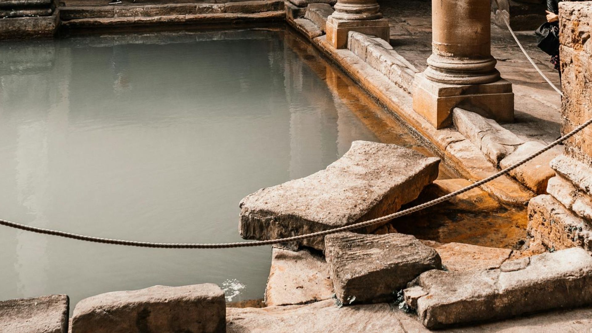
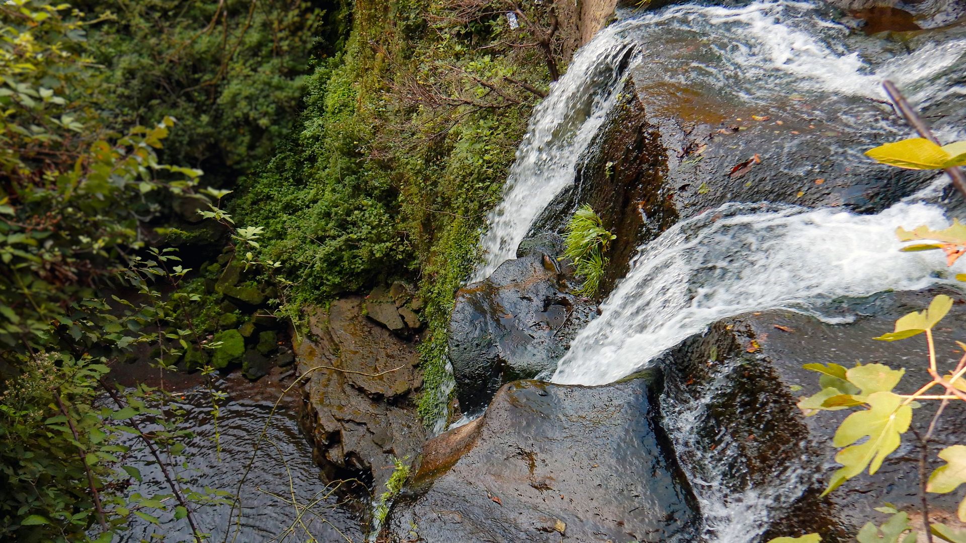
Water Systems: More Than Just Tunnels
More than being useful for hiding or defending the city, the tunnels formed an elaborate hydraulic network that channeled water between different parts of Veii. Multiple cisterns, ritual pools, and channels show that water was controlled, stored, and moved with intention. This would have been crucial not only for daily life but also for rituals tied to purification, agriculture, and civic activities.
Sacred Pools And Ritual Basins
One of the most fascinating finds is a large sacred pool near the Sanctuary of Portonaccio, which researchers believe played a central role in purification rituals. This basin appears to have continued in use even after the Romans conquered Veii, suggesting the tunnels and their associated features acted as both practical infrastructure and sacred space.
Tunnels For Defense And Mobility
The structure of the tunnel system could have offered strategic advantages. Hidden passages allowed people to move beneath the surface, possibly to avoid detection in times of conflict or to reach key water sources during sieges. Such subterranean mobility would have been a real asset during Veii’s long rivalry with Rome.
A City Of Vertical Complexity
This mapping shows that Etruscan urban planning extended far below ground as well as above it. Veii’s planners didn’t just build temples and houses; they shaped an entire subterranean world to support urban life, religion, and logistics.
 Albarubescens, Wikimedia Commons
Veii’s Ritual And Civic Life
The tunnels, channels, and cisterns speak to daily and ceremonial life. Water flowed through ritual zones, fed purification basins, and sustained public spaces. These systems show that Veii’s inhabitants integrated engineering and spirituality in ways that rivaled later Roman systems.
 Albarubescens, Wikimedia Commons
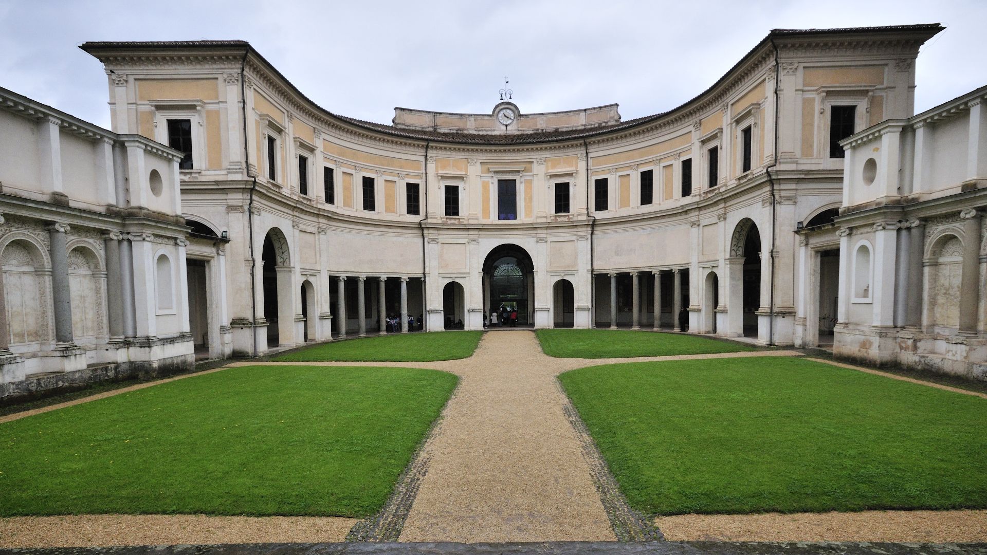
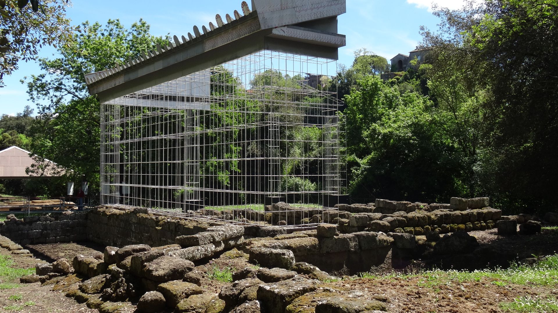
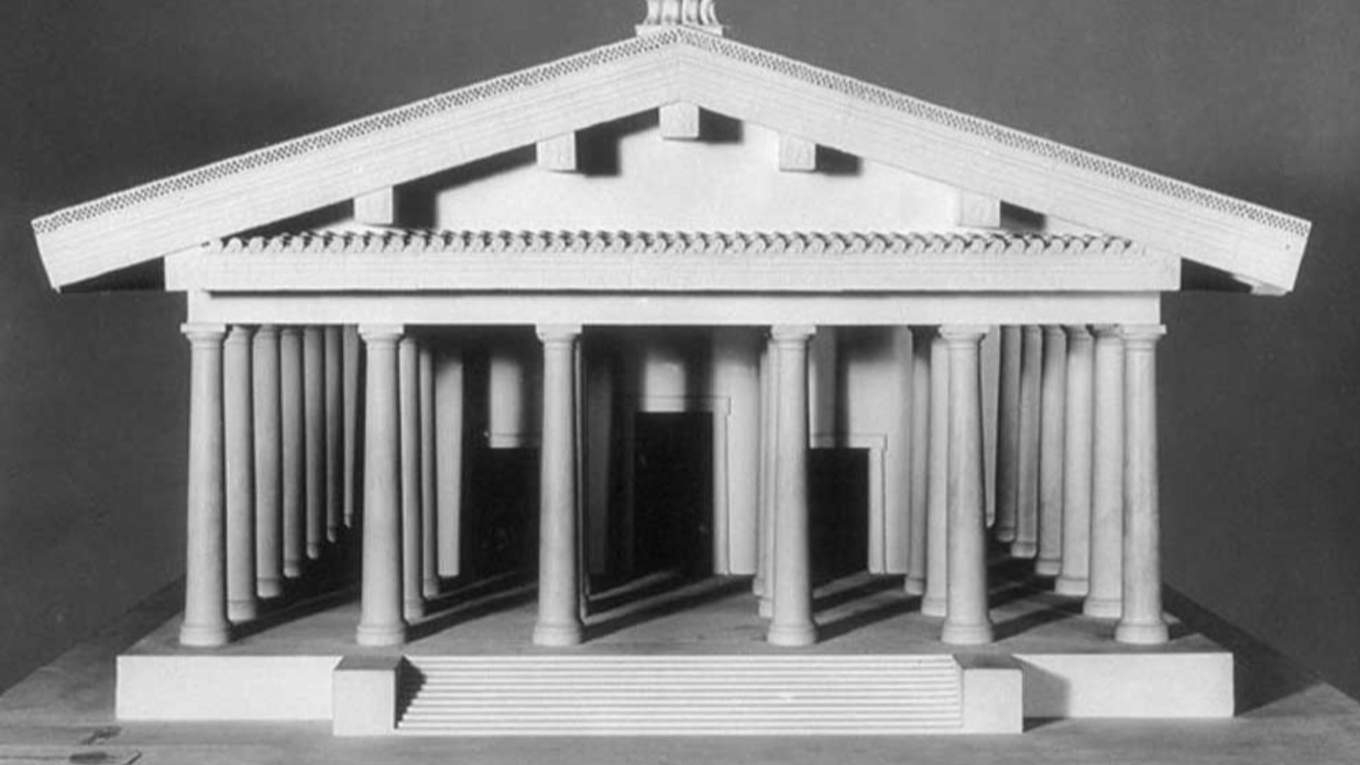
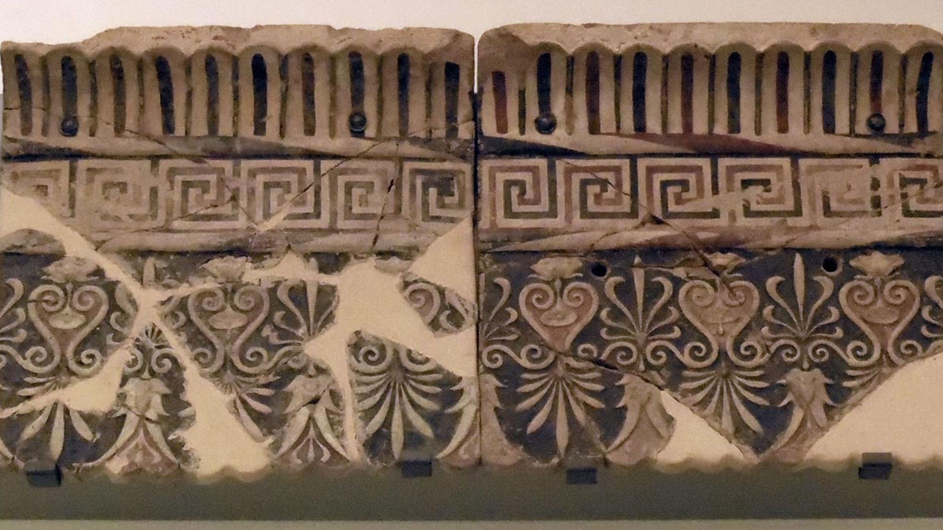
The Sanctuary Of Portonaccio
The mapping effort focused on the area around the Sanctuary of Portonaccio, one of Veii’s most important religious sites. This sanctuary, associated with the temple of Apollo, was known for monumental terracotta art and architectural splendor. Now, the tunnels reveal that the sacred precinct also rested atop a carefully managed water landscape.
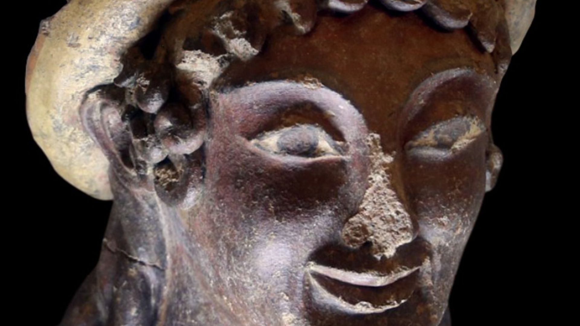
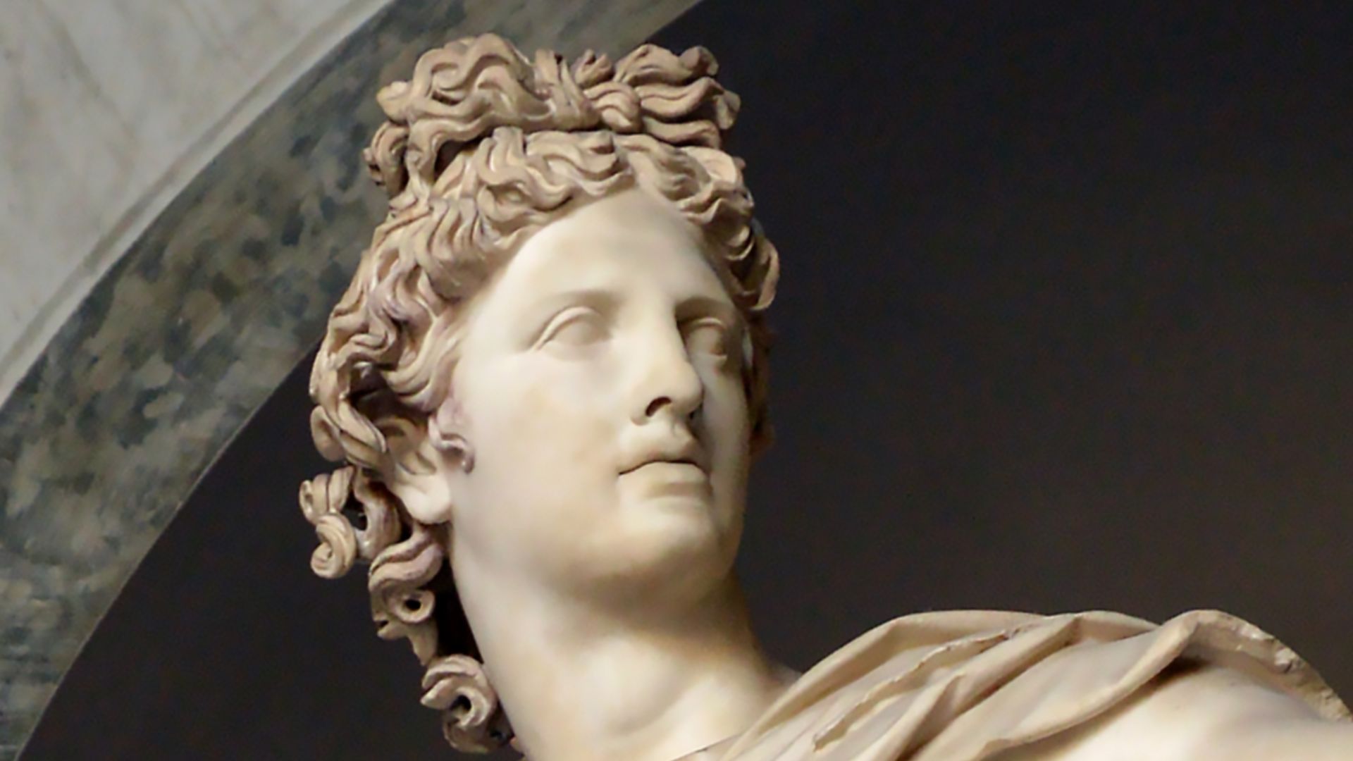
Apollo And Etruscan Beliefs
The Etruscans worshipped a pantheon that blended indigenous Italic beliefs with influences from Greece, and Apollo was one of the deities venerated at Portonaccio. The nearby ritual pool, fed by the tunnel network, likely played a role in purification rites and ceremonial practices linked to the deity.
 Livioandronico2013, Wikimedia Commons
Rivalry And Innovation
Veii’s ability to resist Rome for so long wasn’t just about walls and warriors. Its hidden infrastructure, sophisticated engineering, and resource management gave it resilience and complexity that made it a formidable rival. The detailed tunnel map helps explain how an Etruscan city could thrive, innovate, and defy domination—at least for a time.
 Livioandronico2013, Wikimedia Commons
Technology Meets Archaeology
The use of robotic exploration and digital reconstruction shows how archaeology is changing. Where traditional digging might destabilize or destroy fragile features, modern technology lets researchers observe and document without direct contact, preserving context and detail for future study.
 Unknown author, Wikimedia Commons
New Clues For Future Research
This first complete map of Veii’s underground world is just the beginning. Archaeologists hope these data will open up new lines of inquiry into Etruscan society, from water rituals and civic organization to how subterranean space was used in everyday life.
Veii’s Legacy
Veii’s story reminds us that pre-Roman Italy wasn’t a cultural blank waiting for Rome. The Etruscans had their own traditions, urban sophistication, and engineering prowess. The tunnel mapping gives them a new voice in the archaeological record.
 NormanEinstein, Wikimedia Commons
A City Under The Surface
The tunnels beneath Veii are more than just physical structures, representing a hidden dimension of an ancient city that rivaled one of history’s greatest empires. Mapping them rewrites how we understand urban life, engineering, and religion in early Italy.
Final Thoughts
This discovery isn’t just about what’s under the ground; it’s about uncovering depth in history itself. Veii’s tunnel network shows that ancient civilizations were far more complex and interconnected than we sometimes assume. With new technology and fresh perspectives, landscapes once thought silent are finally speaking again, revealing hidden worlds beneath our feet.
You May Also Like:
Hunter-gatherers built this 3,300-ton stone wall centuries before agriculture reached Europe.