


Canada Gets Big Fast.
Crossing the border may feel deceptively familiar, but the road soon starts speaking in kilometres, litres, ferries, wildlife warnings, and distances that can swallow an entire day. For Americans driving across the country, the biggest surprise is often how quickly an ordinary road trip starts feeling like a genuine expedition.
The Border Can Feel Surprisingly Straightforward
U.S. citizens arriving by road are handled differently from most other international visitors. The Canada Border Services Agency recommends carrying a valid passport, although certain other documents can establish identity and U.S. citizenship at a land crossing. Once the formalities are finished, the sudden transition from American highway to Canadian road can feel remarkably seamless.
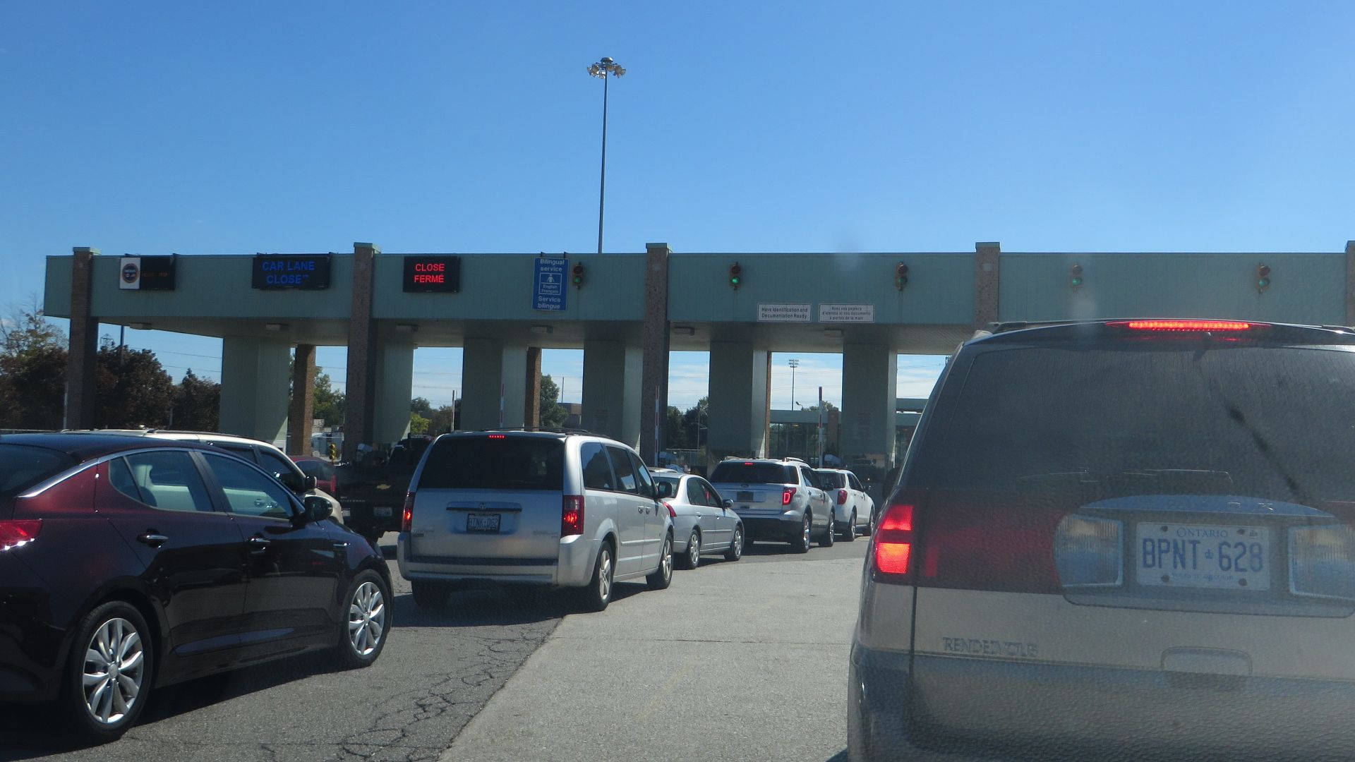 Ken Lund from Reno, Nevada, USA, Wikimedia Commons
Kilometres Take Over Immediately
The familiar numbers on road signs suddenly mean something very different. Canada uses metric measurements on its highway system, so destination distances are shown in kilometres rather than miles. An American driver may spend the first day mentally converting every sign before eventually learning to think in Canadian distances.
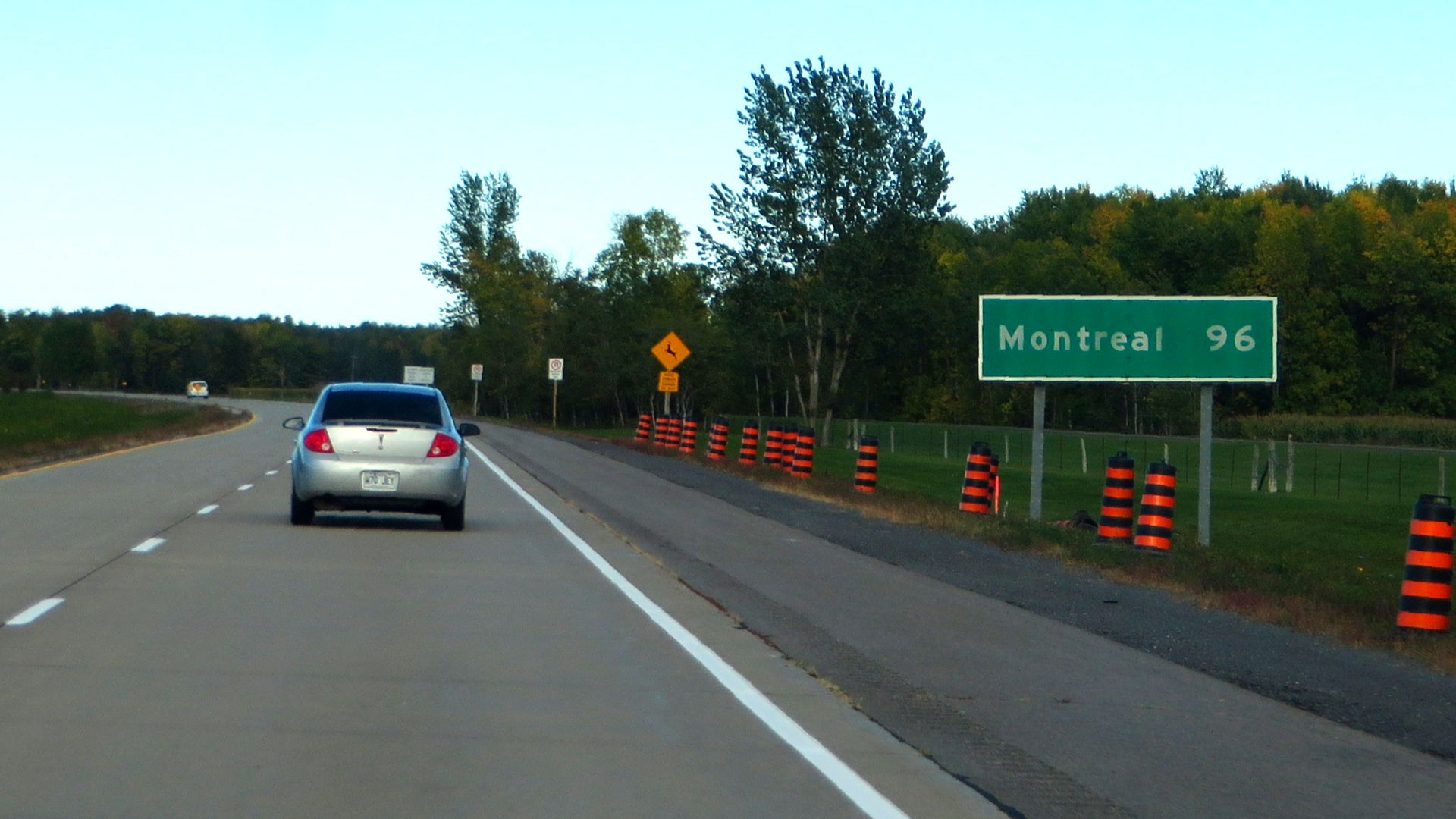 Ken Lund from Reno, Nevada, USA, Wikimedia Commons
A Speed Limit Of 100 Is Not As Exciting As It Looks
Seeing a highway sign marked 100 can produce a brief moment of confusion for someone accustomed to miles per hour. Canadian highway speeds are posted in kilometres per hour, so 100 km/h is about 62 mph. Parks Canada, for example, posts maximum speeds of 90 km/h on major roads through Banff unless otherwise indicated.

Gas Comes By The Litre
The gas station provides another quick reminder that the border crossing changed the measuring system. Canadian fuel pricing and taxation are calculated by the litre rather than the U.S. gallon. The price displayed on the sign therefore cannot be compared directly with the number Americans saw at their last station south of the border.
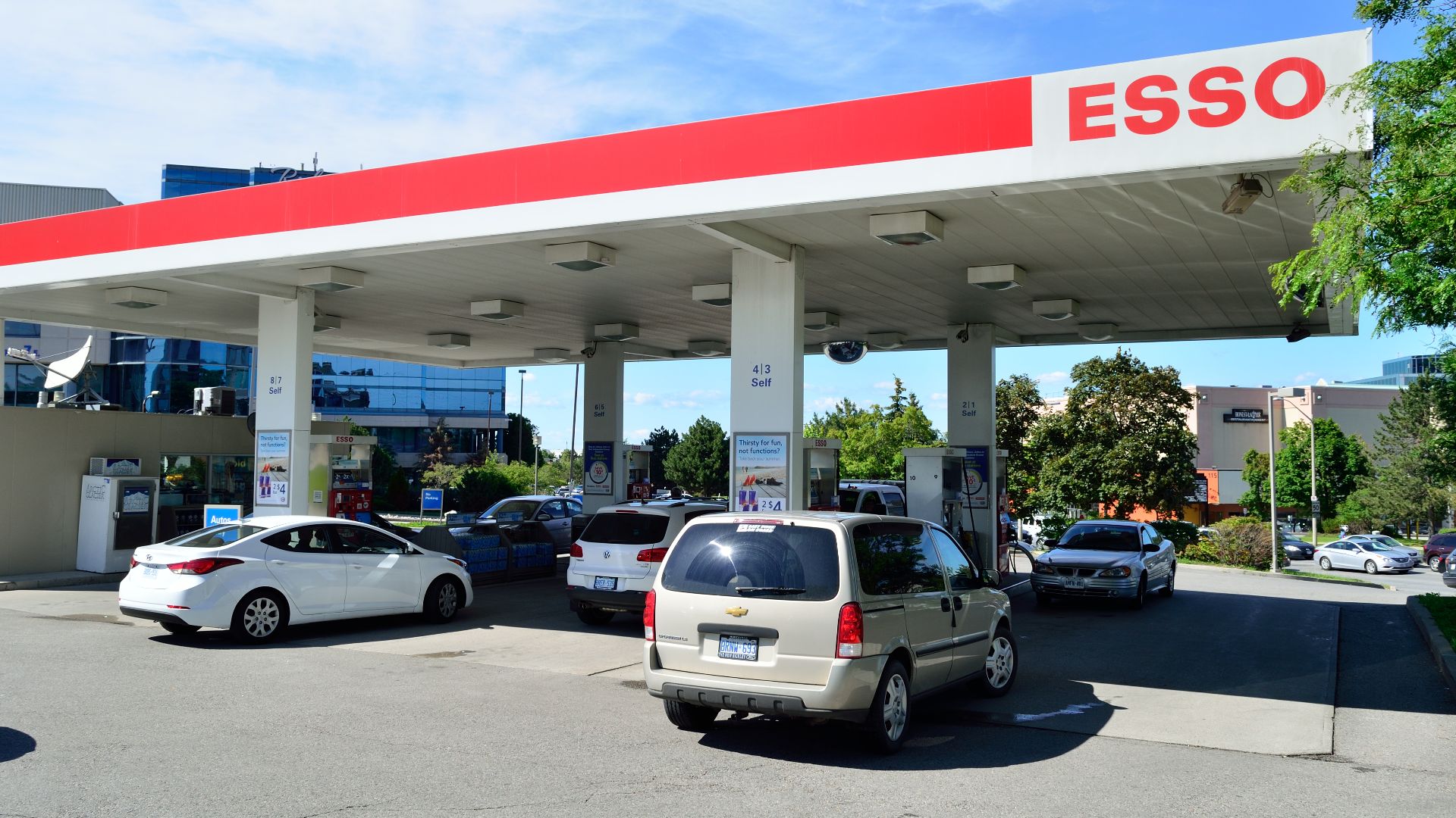 Raysonho @ Open Grid Scheduler / Grid Engine, Wikimedia Commons
The Distances Start Looking Enormous
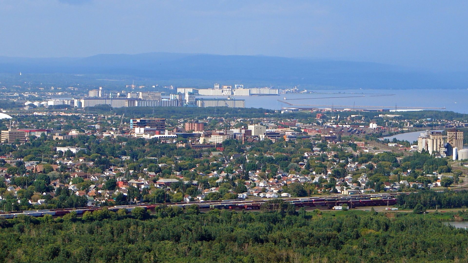
A few hundred kilometres can appear manageable until you remember that the next attraction may be several hours away. Northern Ontario alone offers a 700-kilometre drive between Sault Ste. Marie and Thunder Bay along Lake Superior. Canada rewards travelers who plan days around geography rather than trying to squeeze distant places together.
The Trans-Canada Highway Is Truly Huge
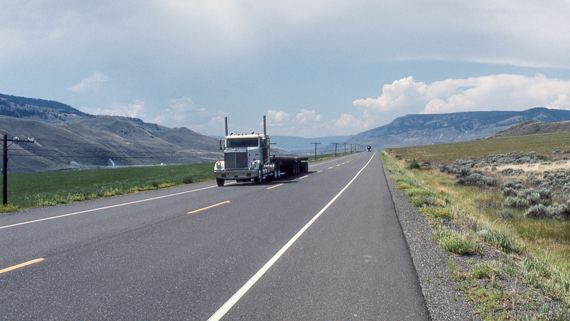
The road connecting the country is not merely a long regional highway with an impressive name. Transport Canada describes the Trans-Canada Highway as Canada's longest national road, stretching between Victoria, British Columbia, and St. John's, Newfoundland and Labrador. The original system measured 7,821 kilometres and crosses all ten provinces.
 Giorgio Galeotti, Wikimedia Commons
It Is Not One Endless Interstate
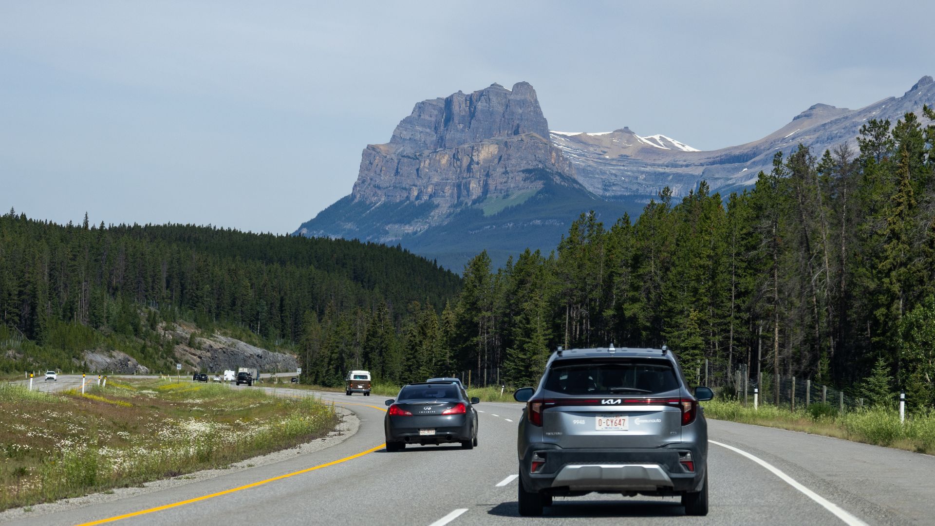
Americans may picture the Trans-Canada as Canada's answer to a single U.S. Interstate. In reality, Transport Canada says it consists of several routes, and its character changes dramatically between regions. Some sections resemble major divided highways, while others feel much more like scenic two-lane roads.
 Chris Woodrich, Wikimedia Commons
The Provinces Really Matter
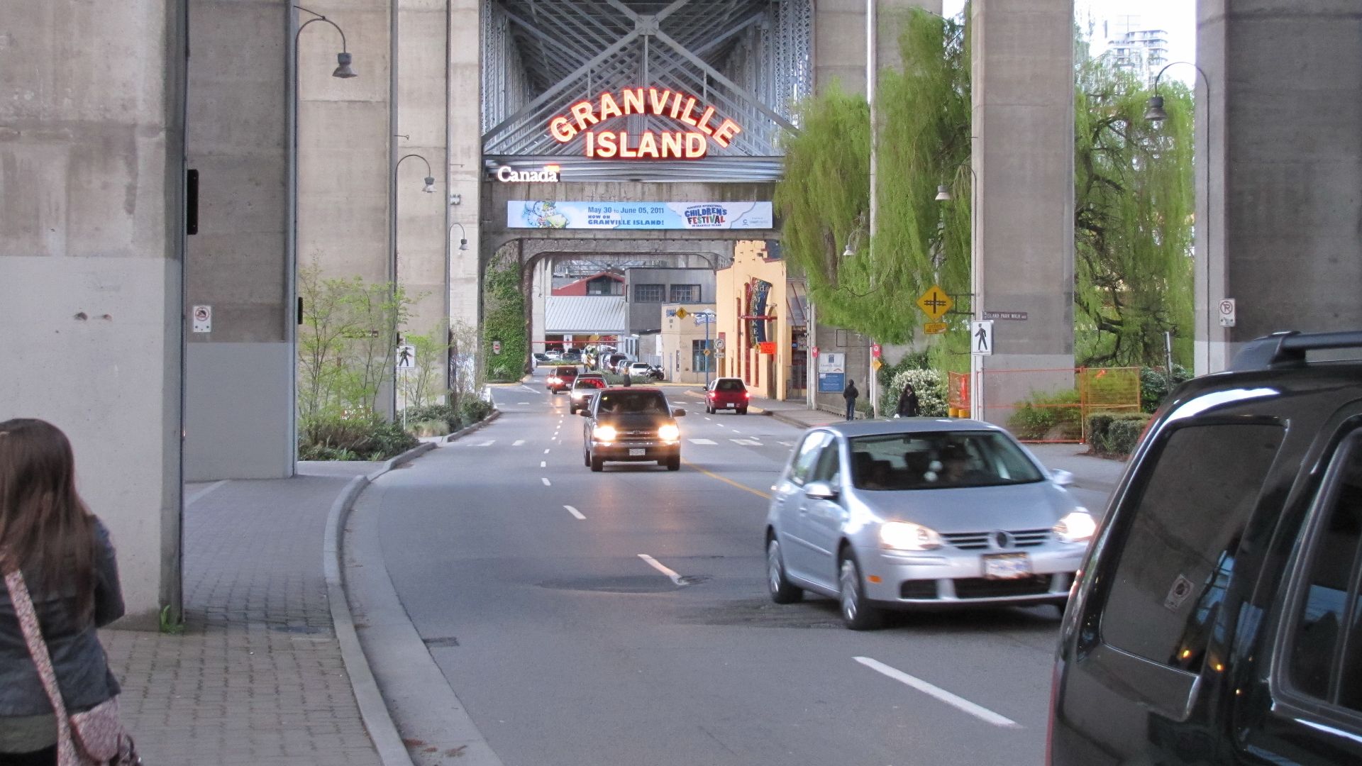
Canada does not operate its highways as one completely uniform national system. Transport Canada notes that most road construction and highway standards are provincial responsibilities. Road design, winter requirements, information systems, and local regulations can therefore change as travelers cross provincial boundaries.
 Robert Linsdell from St. Andrews, Canada, Wikimedia Commons
Empty Road Can Mean Empty Services
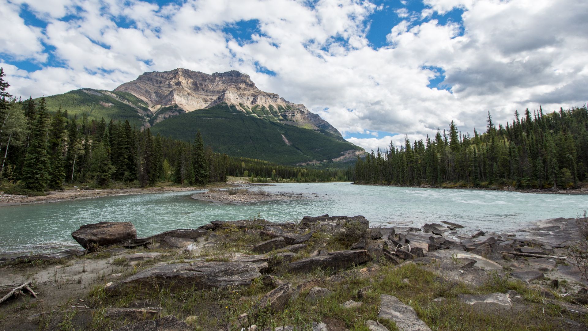
Some of Canada's finest driving routes require more preparation than an American traveler may expect. Parks Canada warns that the 232-kilometre Icefields Parkway has only one gas station and limited seasonal services. Filling the tank when it reaches half-full suddenly seems less overly cautious.
 m01229 from USA, Wikimedia Commons
Your Phone Can Simply Stop Working
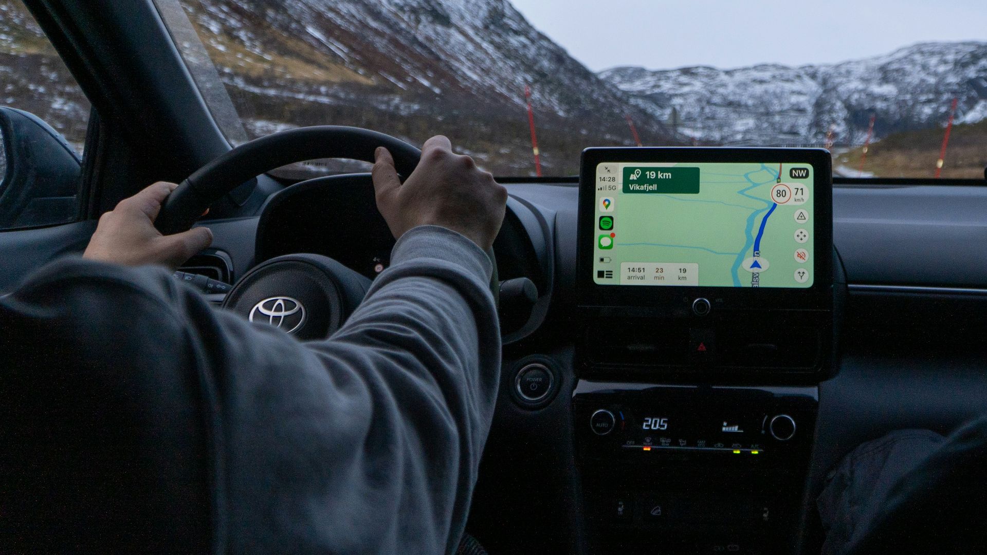
A missing signal is not always a temporary glitch in remote parts of Canada. Parks Canada states that there is no cellular coverage along the Icefields Parkway, including long stretches between Lake Louise and Jasper. Downloaded maps and reservations become much more valuable once the signal bars disappear.

The 511 Systems Become Essential
Canadian provinces maintain road-condition services that road-trippers should learn quickly. Parks Canada directs drivers toward 511 Alberta and DriveBC for current conditions around the mountain parks, while Quebec operates its own 511 information system. Weather, collisions, roadwork, and closures can change a route enough that checking before departure is worthwhile.
Wildlife Warnings Are Not Decorative
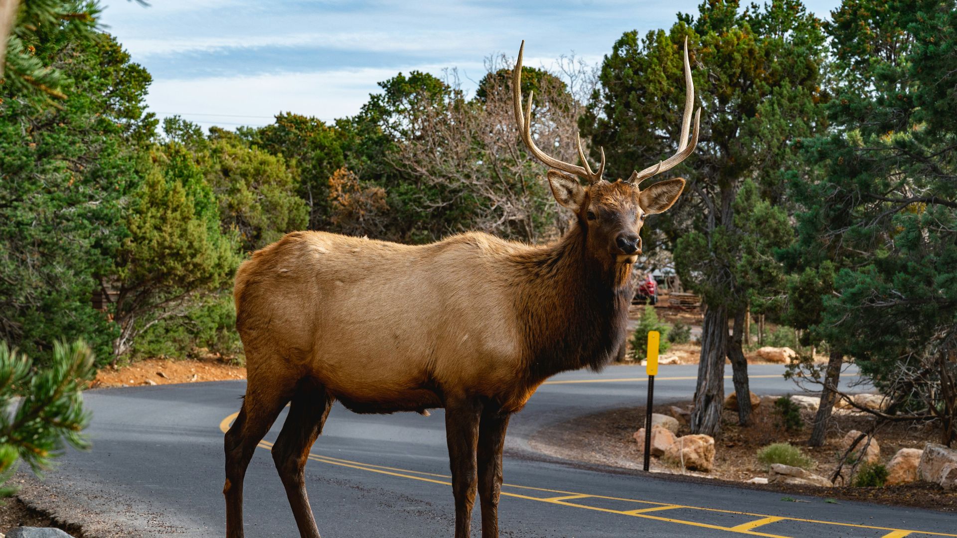
Signs depicting moose, elk, deer, bears, and other animals are there for a reason. Parks Canada warns motorists that wildlife can enter roads unexpectedly and that speeding reduces the time available to avoid a collision. In British Columbia, transportation research has recorded thousands of reported wildlife collisions in a typical year.
Then You See Bridges Built For Animals
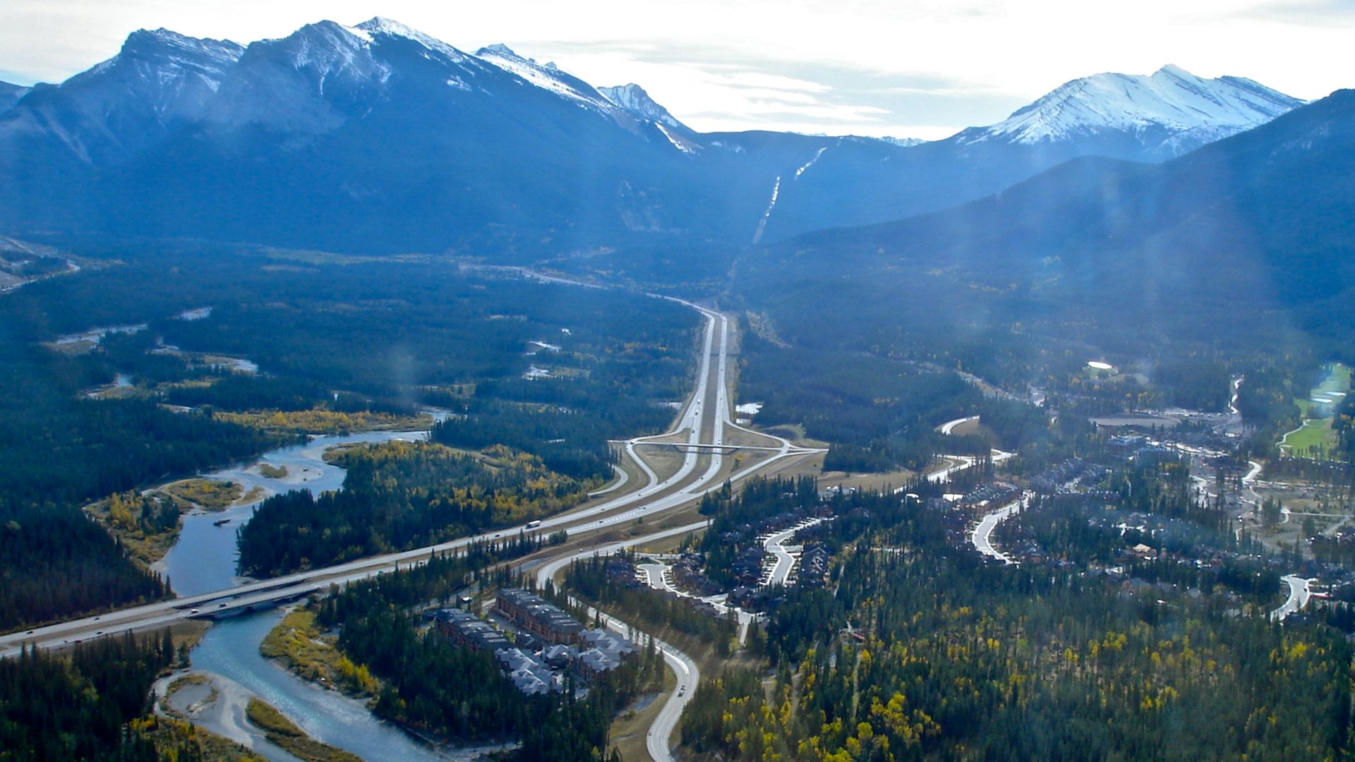
One of the most memorable highway features in the Canadian Rockies may not be built for humans at all. Parks Canada uses wildlife overpasses, underpasses, fencing, and other crossing structures to reconnect habitat divided by roads. The Trans-Canada Highway through Banff is particularly well known for this approach.
Mountain Highways Demand Attention
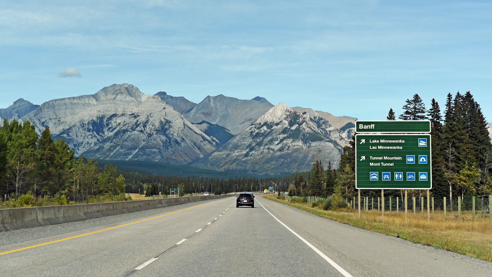
Driving through the Rockies is beautiful enough to make passengers forget that the highway is still a serious mountain road. Parks Canada warns about wildlife, rapidly changing conditions, winter restrictions, and limited services on routes around Banff and Jasper. Scenic driving here is an attraction, but it still demands preparation.
 Milan Suvajac, Wikimedia Commons
Summer Does Not Guarantee Summer Weather
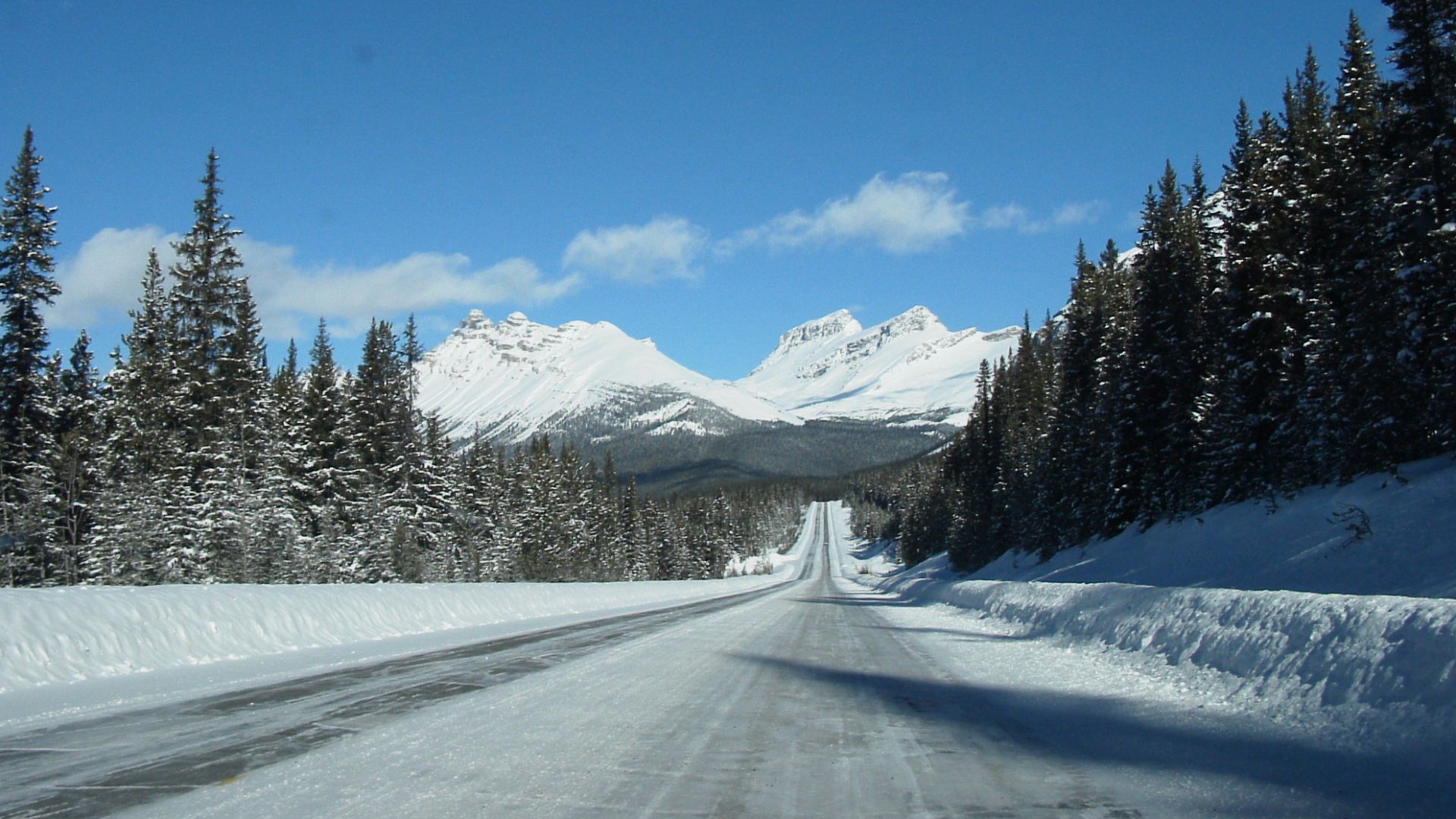
Mountain weather can make an American road-tripper question the calendar. Parks Canada says rain can fall as snow during any month of the year on the Icefields Parkway, where even summer nights can be chilly. A warm afternoon in Calgary does not guarantee the same conditions several hours later at higher elevation.
 Martin Meyer, Wikimedia Commons
Winter-Tire Rules Can Be Mandatory
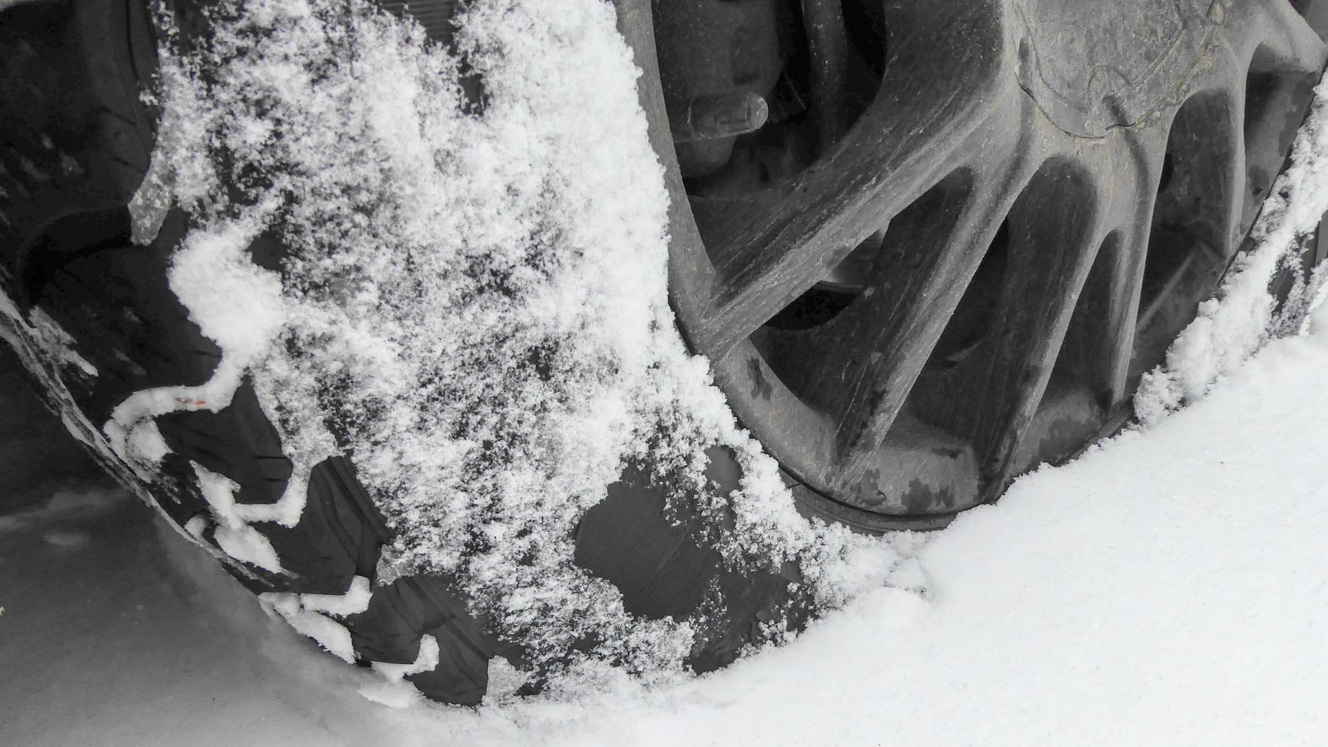
Americans arriving from a warmer state may discover that suitable tires are not merely a recommendation. British Columbia requires winter tires on many rural highways and mountain routes during designated months. The Icefields Parkway also requires qualifying snow tires or chains from November through March and whenever snow or ice covers the road.
Quebec Changes The Language Of The Road
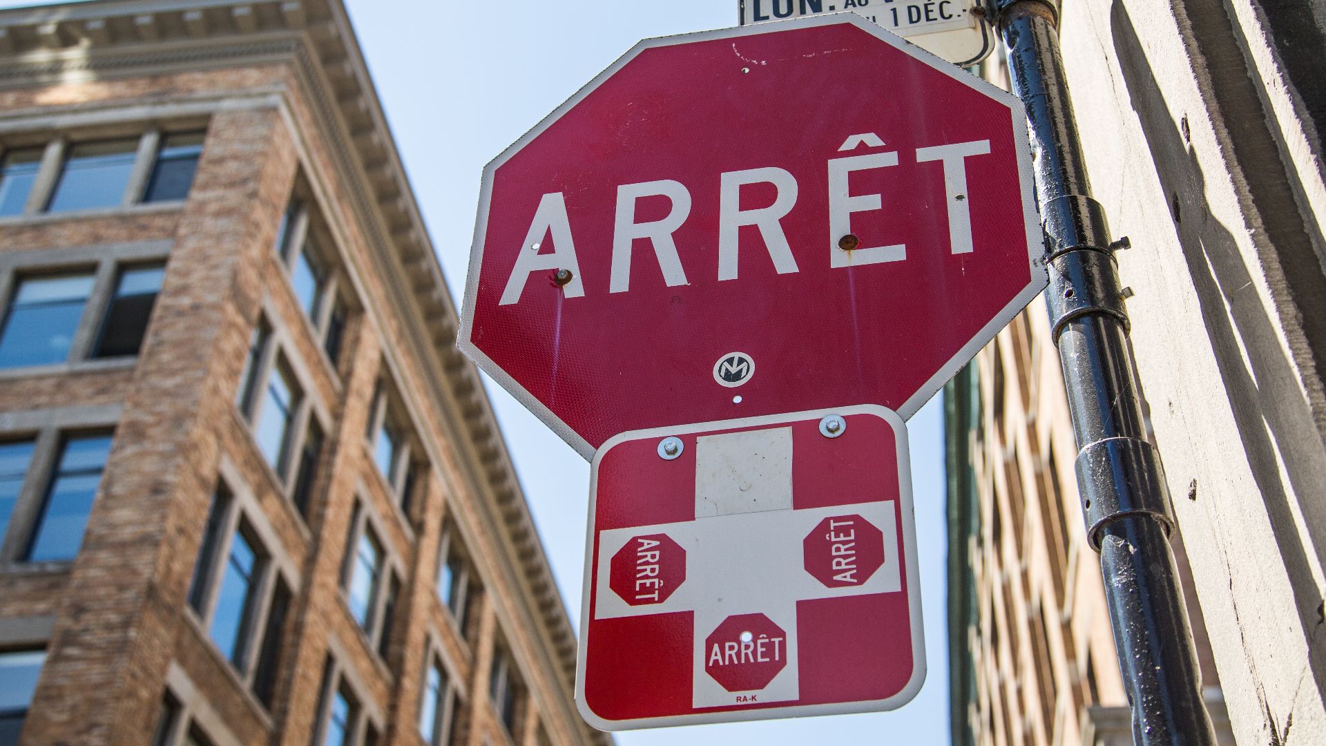
Cross into Quebec and some of the most familiar signs suddenly look different. Quebec's official road guidance includes the red Arrêt stop sign alongside French destination and information signage. Symbols remain helpful, but Americans who know little French may find themselves paying closer attention than usual.
 Tony Webster from Minneapolis, Minnesota, Wikimedia Commons
The Country Keeps Changing Time
A true cross-country drive moves through several time zones. Canada's National Research Council documents Pacific, Mountain, Central, Eastern, Atlantic, and Newfoundland time, with provincial and regional exceptions. Travelers who schedule hotels, ferries, or tours should make sure the phone has changed time before trusting it.

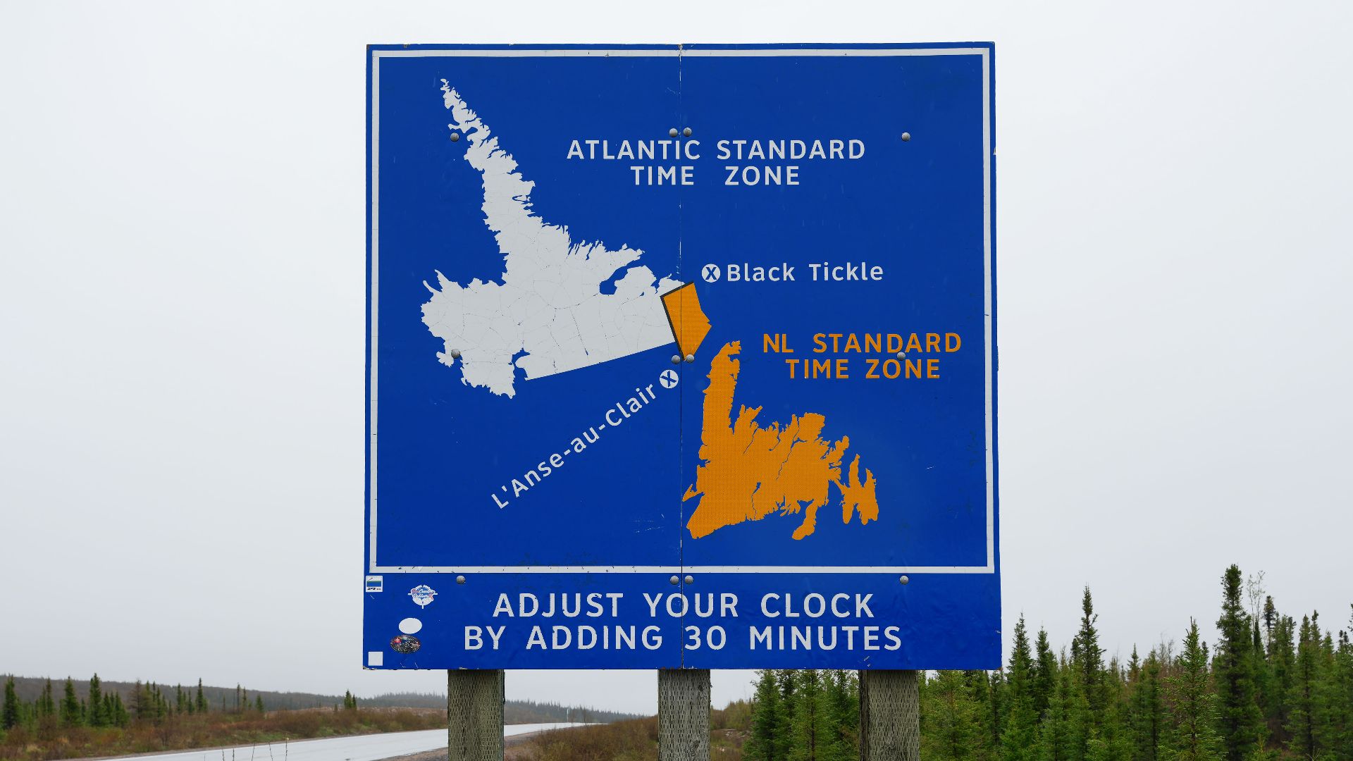
Newfoundland Adds Half An Hour
The strangest clock change comes near the eastern end of the journey. Newfoundland Time sits half an hour away from neighboring Atlantic Time rather than a full hour. That extra 30 minutes is the sort of Canadian detail an American may not believe until the phone clock changes.
 Quintin Soloviev, Wikimedia Commons
Ferries Can Be Part Of The Highway
Cross-country driving in Canada sometimes requires leaving the pavement entirely. Transport Canada notes that car ferries connect Newfoundland and Vancouver Island with the mainland as part of the broader Trans-Canada Highway system. Driving across Canada can therefore include lining up your vehicle and boarding a ship.
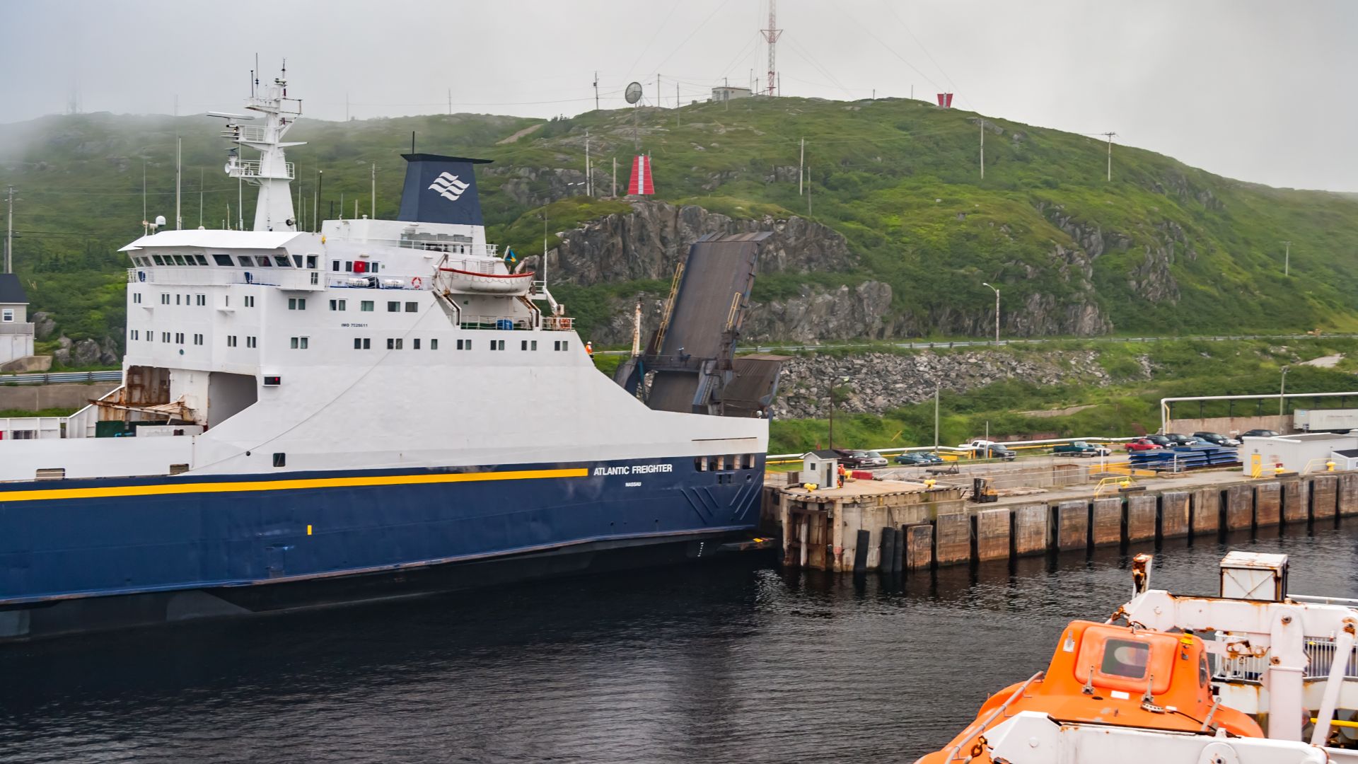 Michel Rathwell from Cornwall, Canada, Wikimedia Commons
Newfoundland Is Not A Quick Ferry Hop
The Newfoundland crossing changes the rhythm of a road trip completely. Marine Atlantic's year-round route between North Sydney, Nova Scotia, and Port aux Basques, Newfoundland, takes approximately seven hours. Getting the car onto the island becomes a significant travel day rather than a short transportation connection.
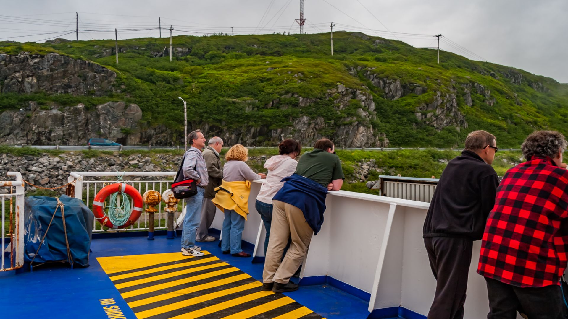 Michel Rathwell from Cornwall, Canada, Wikimedia Commons
Vancouver Island Rewards Advance Planning Too
British Columbia's ferry system is another place where spontaneity has limits. BC Ferries strongly recommends advance vehicle bookings during popular travel periods because sailings can fill and unreserved drivers may have to wait. Some routes now require vehicles to book in advance in one direction.
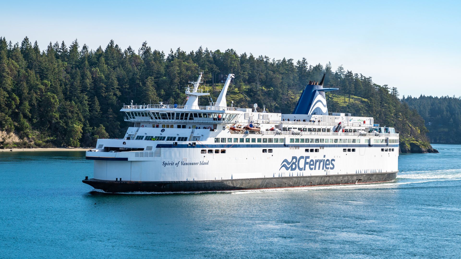 Gordon Leggett, Wikimedia Commons
National Parks Sit Right On Major Routes
American travelers do not always need to leave the highway system to enter extraordinary protected landscapes. The Trans-Canada Highway runs directly through Banff and Yoho, while the Icefields Parkway connects Banff and Jasper. Canada's road network can make a national park feel like part of the journey rather than a separate detour.
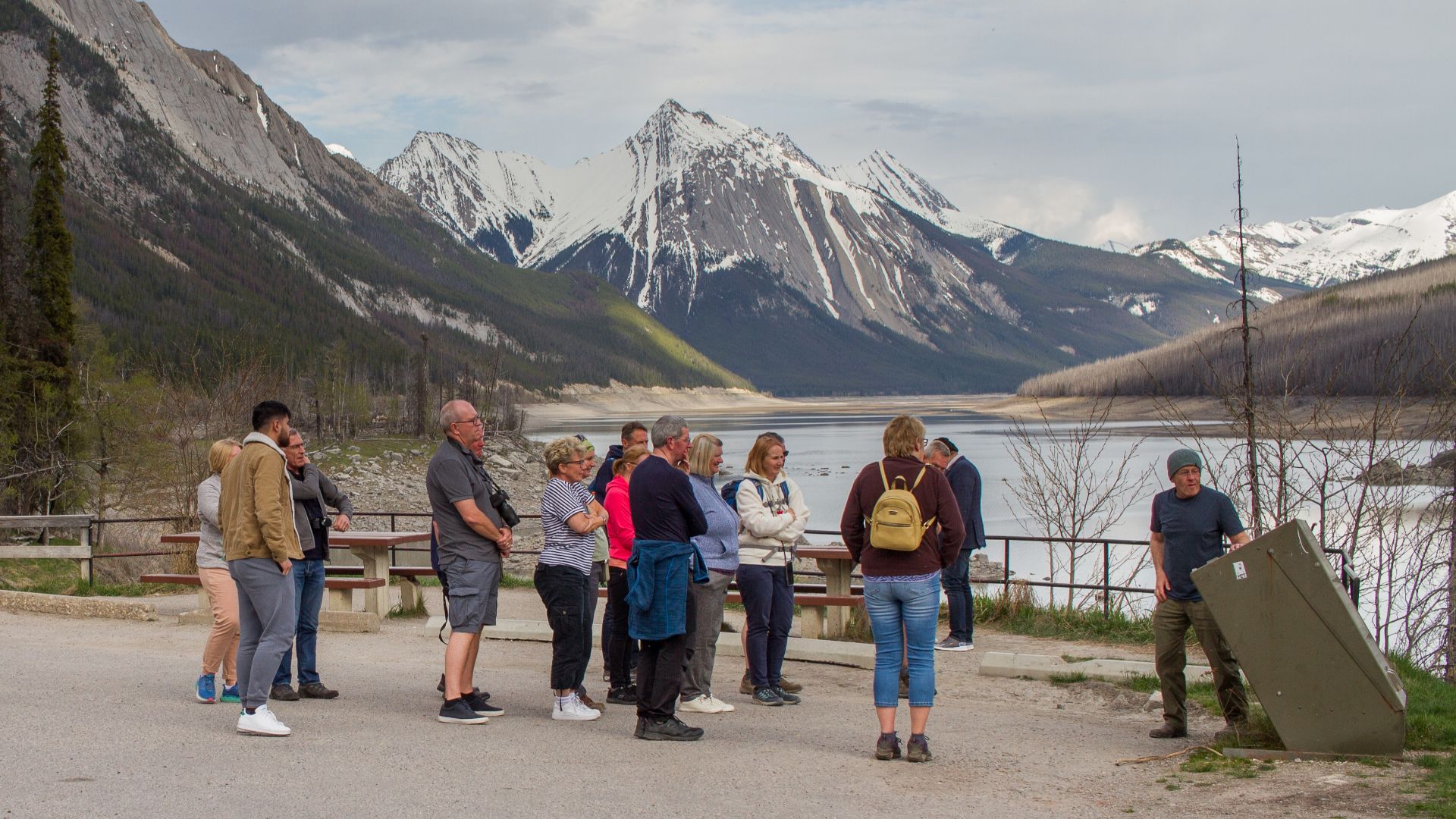 Dwayne Reilander, Wikimedia Commons
Driving Through A Park Can Still Require A Pass
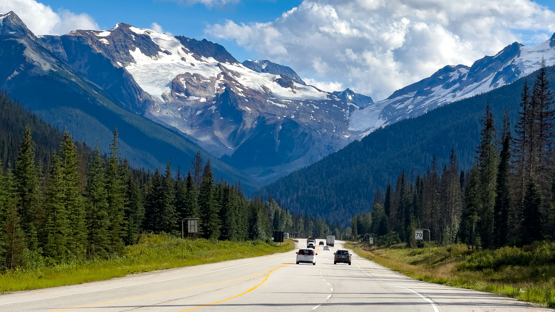
A road running through a national park does not automatically make every stop free. Parks Canada requires valid entry passes for visitors stopping at many park destinations, and the Icefields Parkway requires a national park pass for travel on the scenic route. Check the specific park rules before assuming the highway itself settles the admission question.
 Christoph Strassler from Oberdorf BL, Schweiz, Wikimedia Commons
Famous Lakes May Not Be Drive-Up Attractions
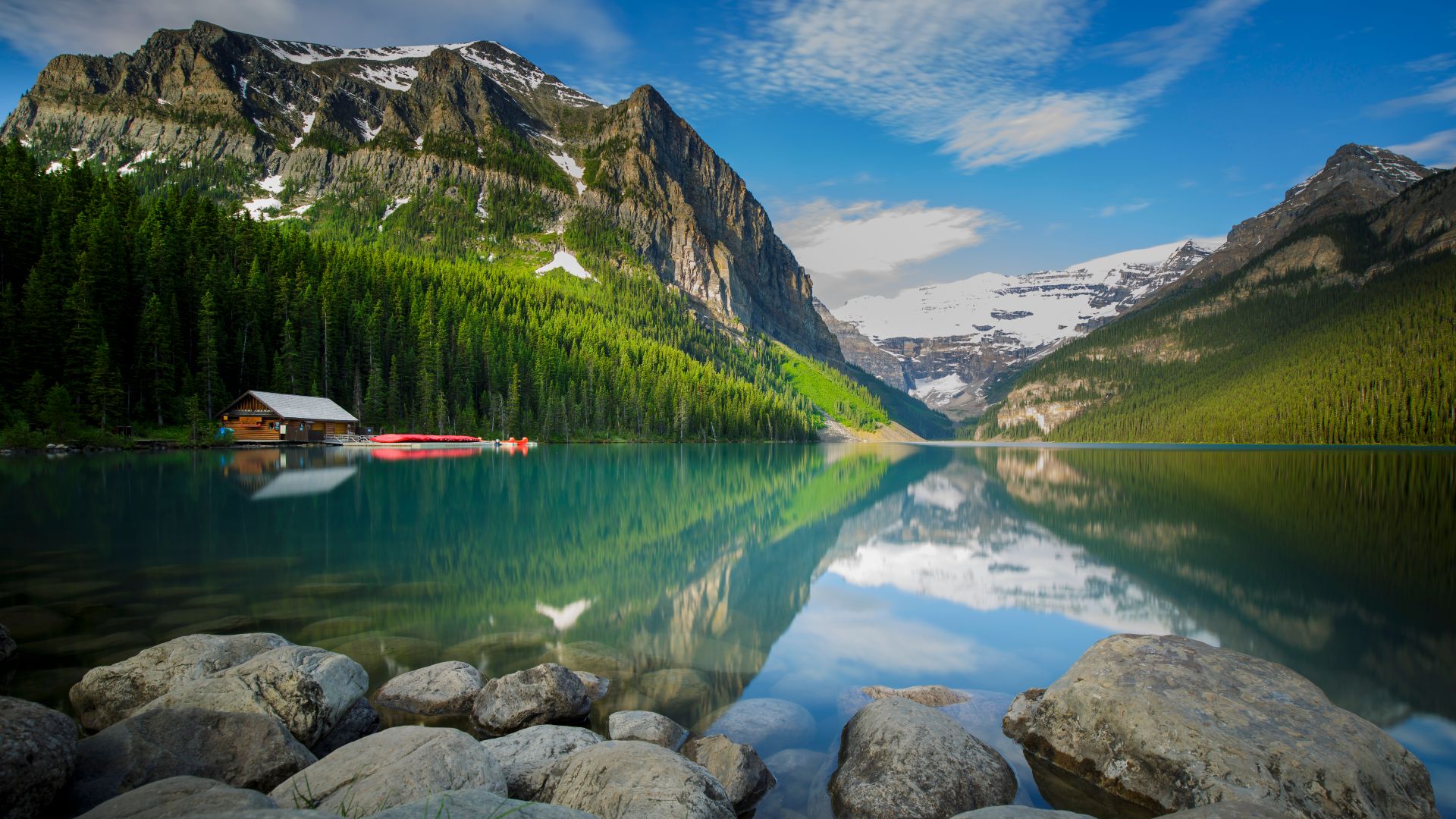
The Canadian Rockies have become popular enough that some iconic places require more planning than old road-trip photographs suggest. Moraine Lake Road in Banff is closed to personal vehicles year-round, with visitors directed toward approved shuttles and transit. Parks Canada also recommends advance planning for Lake Louise because of heavy demand.
 Thomas Fuhrmann, Wikimedia Commons
The Prairies Redefine The Horizon
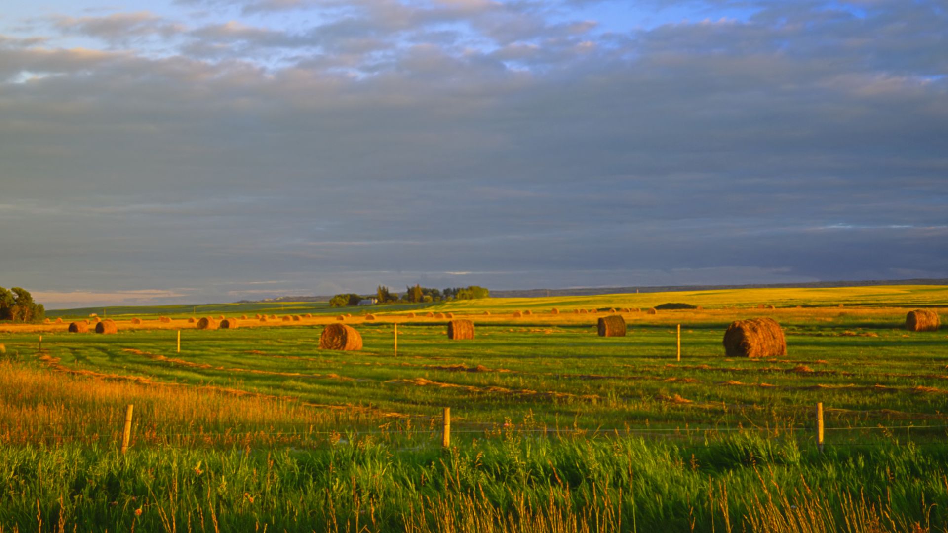
After mountains and forests, the openness of the Prairies can be startling. Tourism Saskatchewan describes stretches where the horizon seems to run forever and the sky becomes the dominant feature of the drive. Manitoba similarly promotes highways through golden prairie landscapes and vast open spaces.
 Trevor Bauer, Wikimedia Commons
Lake Superior Feels Like An Ocean
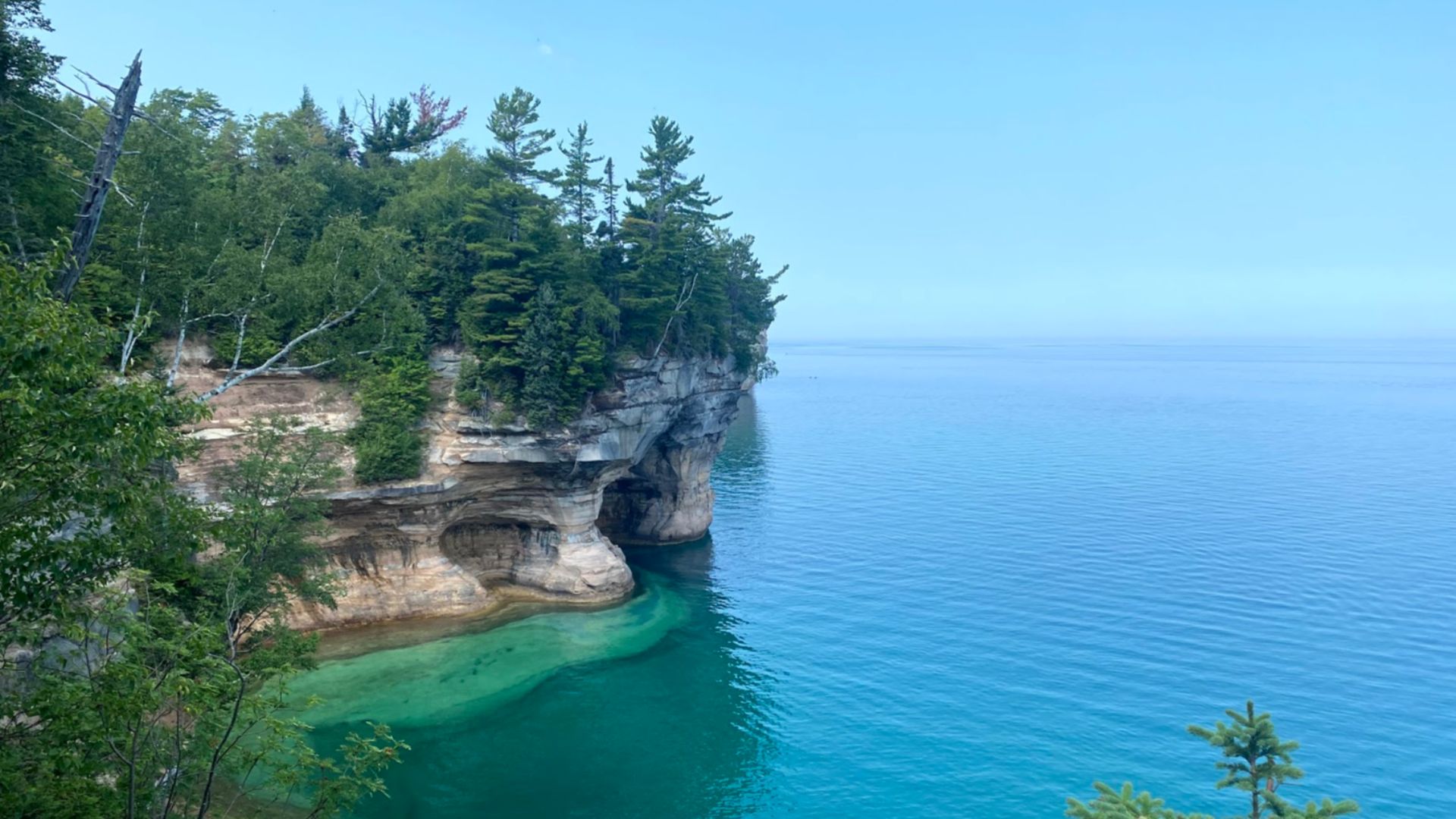
Northern Ontario delivers another scale adjustment. Destination Ontario describes the north shore of Lake Superior as a landscape of cliffs, beaches, waterfalls, and boreal forest, with Highway 17 following the shoreline for long stretches. The lake is so vast that an American road-tripper can easily forget they are looking at freshwater.
Rural Canada Can Feel Extremely Rural
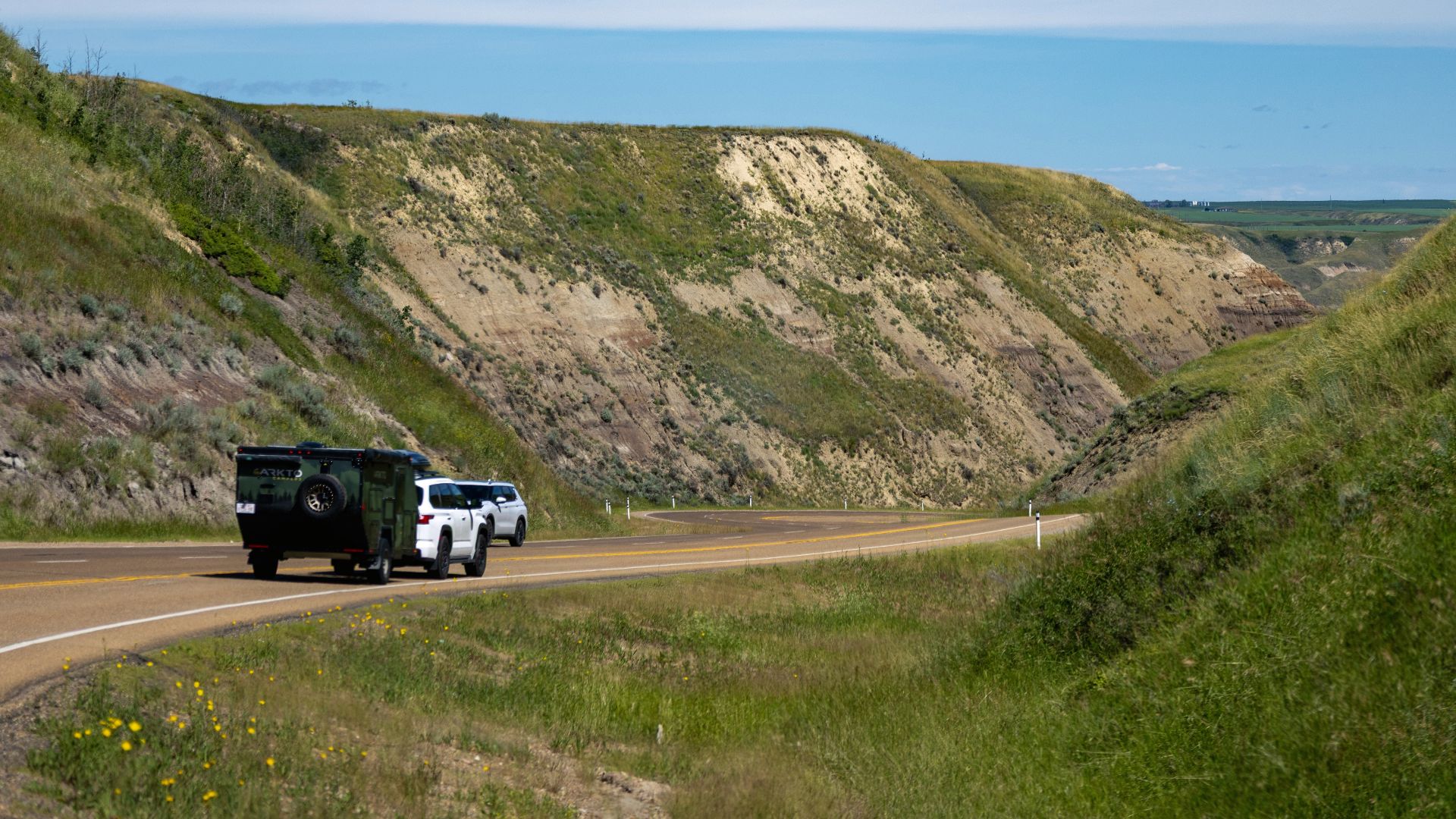
Most Canadians live in urban areas, but a cross-country drive passes through enormous stretches of sparsely populated land. Statistics Canada reported that 17.8 percent of Canadians lived in rural areas in 2021, even though rural territory occupies vastly more space. On the highway, that imbalance becomes visible in the long intervals between major communities.
 Chris Woodrich, Wikimedia Commons
The Scenery Keeps Ruining Your Schedule
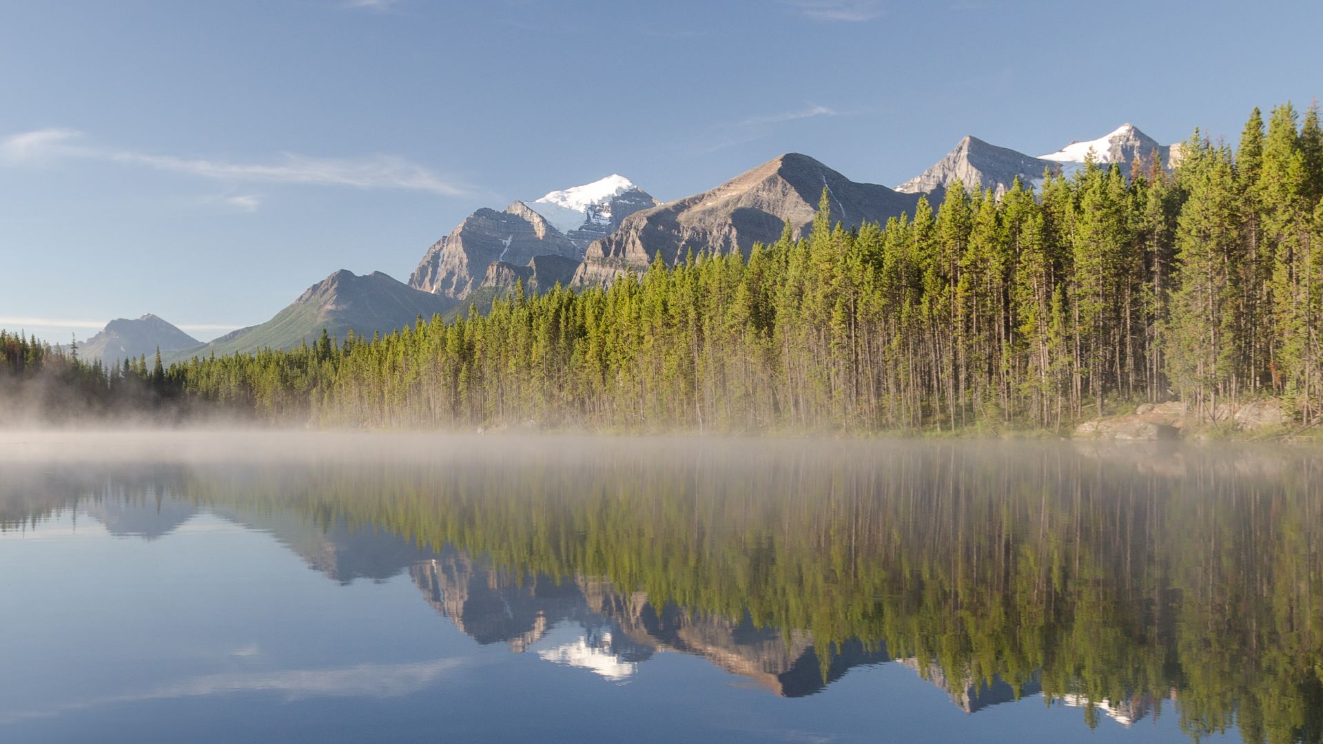
Canadian road-trip distances are deceptive because driving time does not include the time spent pulling over. Parks Canada recommends giving the 232-kilometre Icefields Parkway an entire day in one direction, while Destination Ontario encourages travelers not to rush its long Lake Superior route. Lookouts, lakes, waterfalls, wildlife, and roadside trails can turn a four-hour plan into an eight-hour day.
 Florian Fuchs, Wikimedia Commons
Canada Punishes An Overstuffed Itinerary
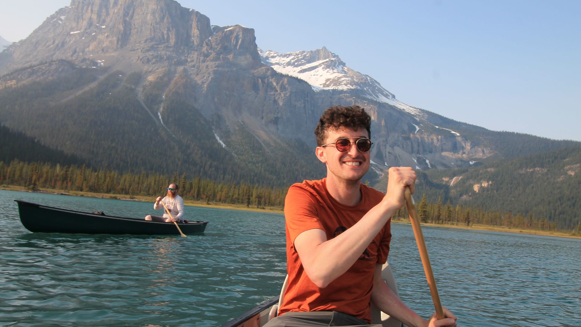
The biggest lesson is that crossing Canada is not simply a matter of connecting cities on a map. Ferries, weather, mountain roads, wildlife, park restrictions, enormous distances, and irresistible scenic stops all add time that navigation apps cannot fully capture. Americans who leave room in the schedule usually discover that the slow parts are exactly what make the road trip memorable.
 Cassidy.joyes, Wikimedia Commons
You May Also Like:
Things Europeans Notice Immediately When They Take An American Road Trip
Things Canadians Notice Immediately When They Visit Texas
10 Forbidden Places You're Not Allowed To Visit
Sources: 1, 2, 3, 4, 5, 6, 7, 8, 9, 10, 11, 12, 13, 14, 15, 16, 17, 18, 19, 20, 21, 22, 23, 24, 25





.jpg)
.jpg)