

Before The Interstate, The Road Trip Was An Adventure
Before Americans could simply follow an Interstate sign across several states, long-distance driving meant two-lane highways, roadside motels, handwritten directions, and sometimes questionable pavement. Many of those old roads still exist today, hiding beneath modern route numbers or winding through towns the Interstates bypassed.

The Lincoln Highway
Created in 1913, the Lincoln Highway became America's most famous early transcontinental automobile route, stretching from New York City to San Francisco. Much of it later became U.S. 30. Imagine attempting that coast-to-coast drive when paved roads were still a luxury.
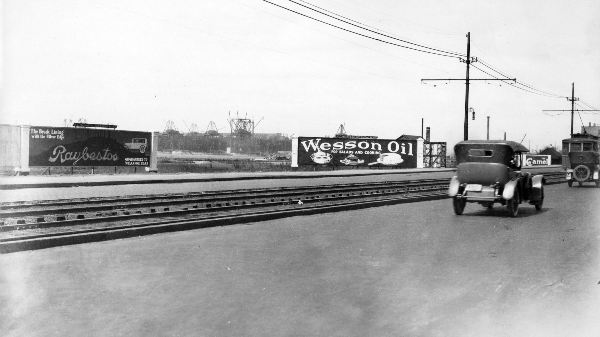 R.C. Maxwell Company, Wikimedia Commons
The National Road
This one predates automobiles by about a century. Construction on the federally funded National Road began in 1811, eventually connecting Cumberland, Maryland, with the Midwest. Much of its historic path later became U.S. 40, meaning modern motorists can still follow portions of it.
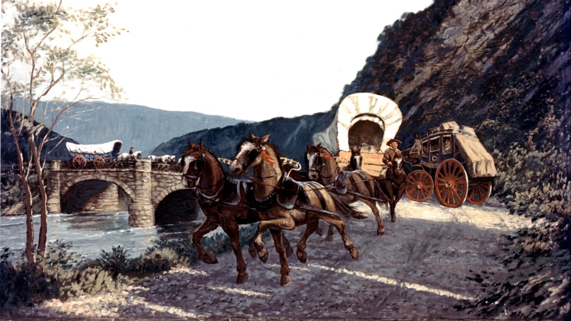 Federal Highway Administration, Wikimedia Commons
The National Old Trails Road
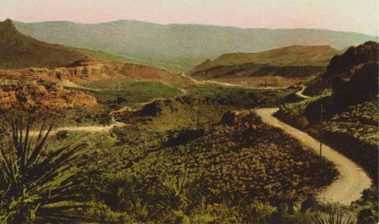
Established during the early automobile era, the National Old Trails Road connected the East with California by combining several historic trails and roads. Large portions were eventually absorbed into U.S. 40 and U.S. 66, giving this forgotten route an impressive afterlife.
The Dixie Highway
Beginning in the 1910s, the Dixie Highway wasn't one neat road. It became a network of routes connecting the Midwest with the South and Florida. Early motorists followed distinctive markers while communities competed fiercely to have the highway pass through town.
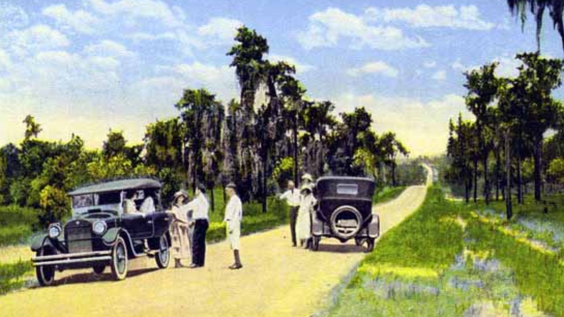 State Library and Archives of Florida, Wikimedia Commons
The Yellowstone Trail
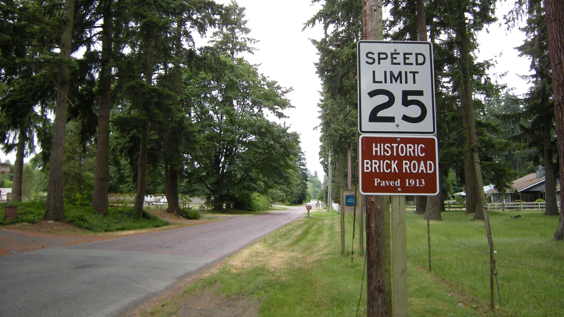
Organized beginning in 1912, the Yellowstone Trail eventually stretched from the Northeast toward the Pacific Northwest, passing through Yellowstone country along the way. It became one of America's earliest long-distance automobile routes and helped encourage motorists to explore the country by car.
The Jefferson Highway
The Jefferson Highway was promoted during the 1910s as a north-south counterpart to famous east-west roads. Running from Winnipeg toward New Orleans, it became known as the "Palm to Pine" route, carrying travelers through the center of the continent.
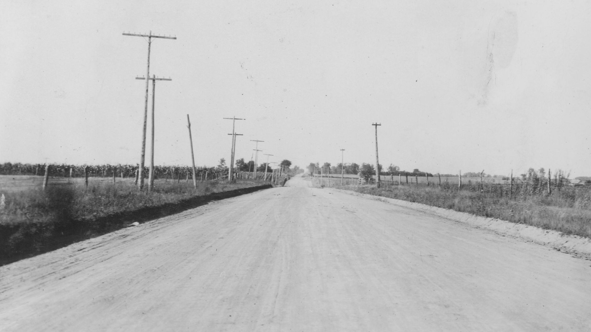 Iowa Highway Commission, Wikimedia Commons
The Bankhead Highway
Named for Senator John H. Bankhead, this early automobile route stretched from Washington, D.C., toward Southern California. The highway became especially important across the South and Southwest, where communities eagerly promoted themselves as stops along America's rapidly expanding automobile network.
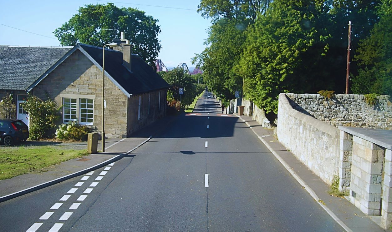 Stanley Howe, Wikimedia Commons
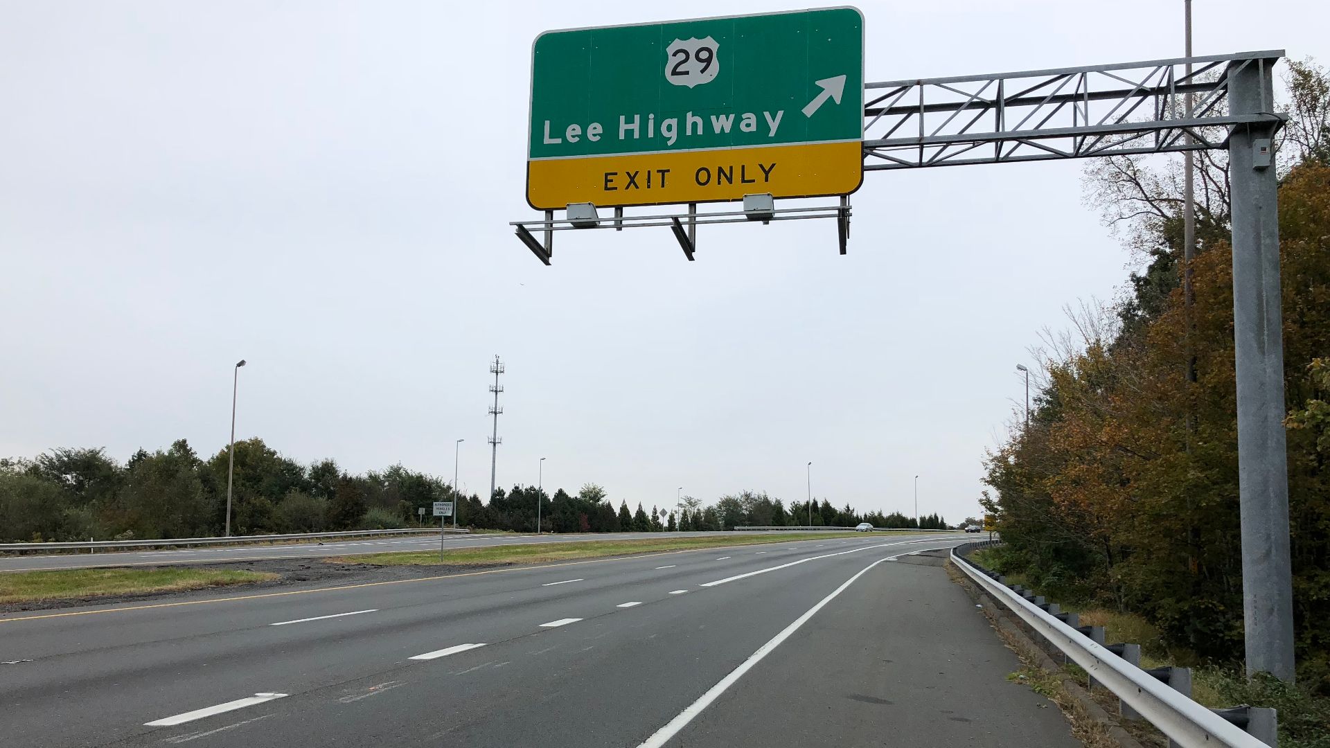
The Lee Highway
The Lee Highway connected Washington, D.C., with Southern California during the named-trail era. Like many early routes, it wasn't built as one entirely new highway. Instead, organizers linked existing roads together, marked the route, and encouraged communities to improve their sections.
The Old Spanish Trail
Despite its romantic name, the automobile route known as the Old Spanish Trail was largely a 20th-century creation. Promoters developed a route from St. Augustine, Florida, to San Diego, California, giving early motorists a southern coast-to-coast adventure.
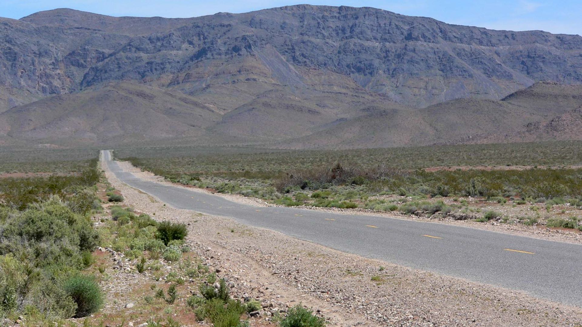
The Pacific Highway
Before Interstate 5 carried West Coast traffic, the Pacific Highway helped connect communities from the Pacific Northwest toward California. Portions eventually became associated with U.S. 99. It was an essential north-south corridor when long-distance driving still required serious patience.
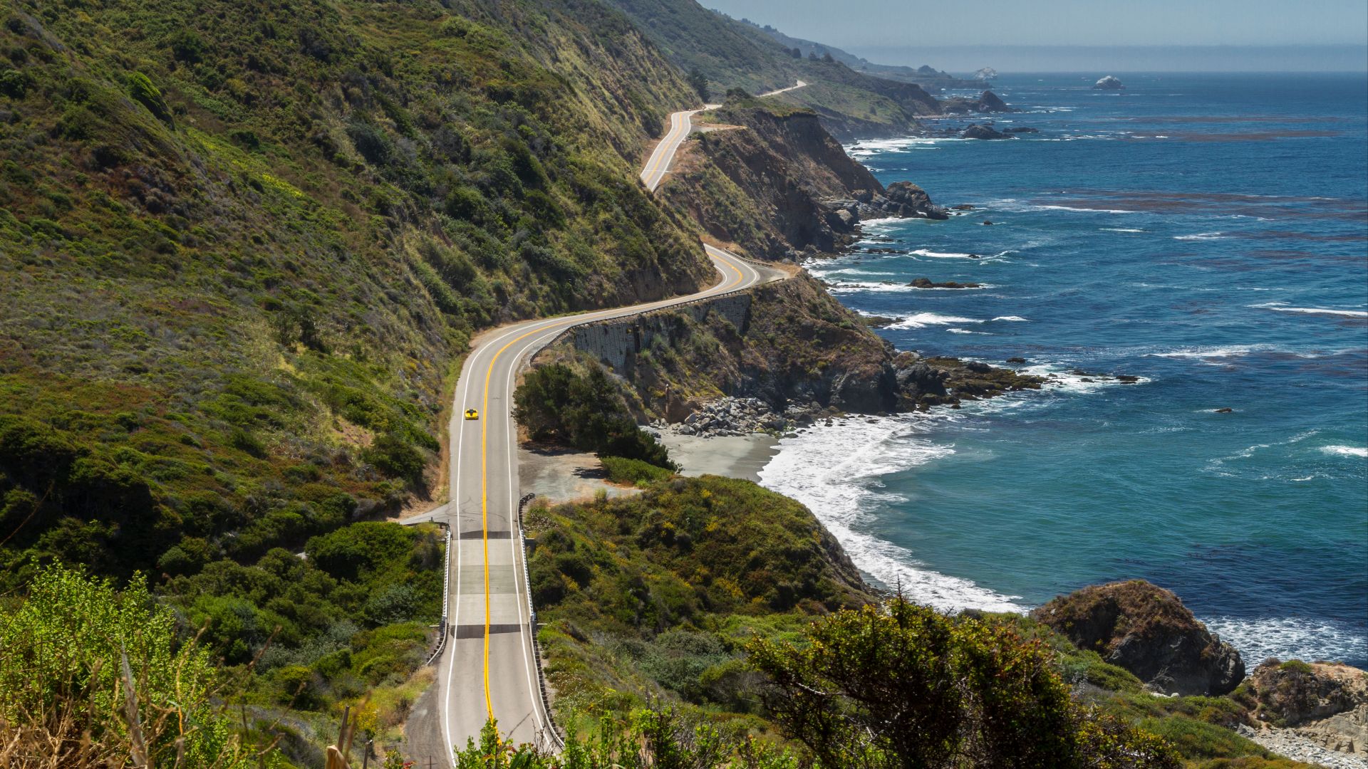 Fred Moore from Morro Bay, CA, USA, Wikimedia Commons
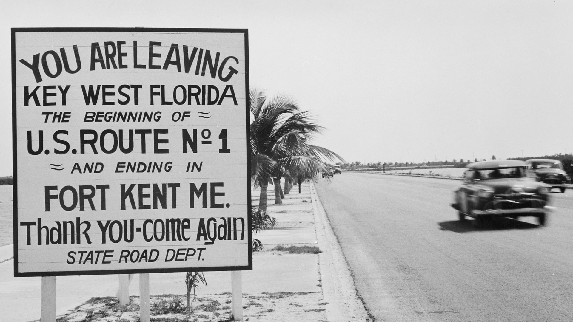
U.S. Route 1
Created with the original U.S. Highway System in 1926, U.S. 1 runs along the East Coast from Maine to Florida. Before Interstate 95 stole much of its long-distance traffic, Route 1 carried generations of vacationers through cities, towns, and roadside attractions.
 Unknown authorUnknown author or not provided, Wikimedia Commons
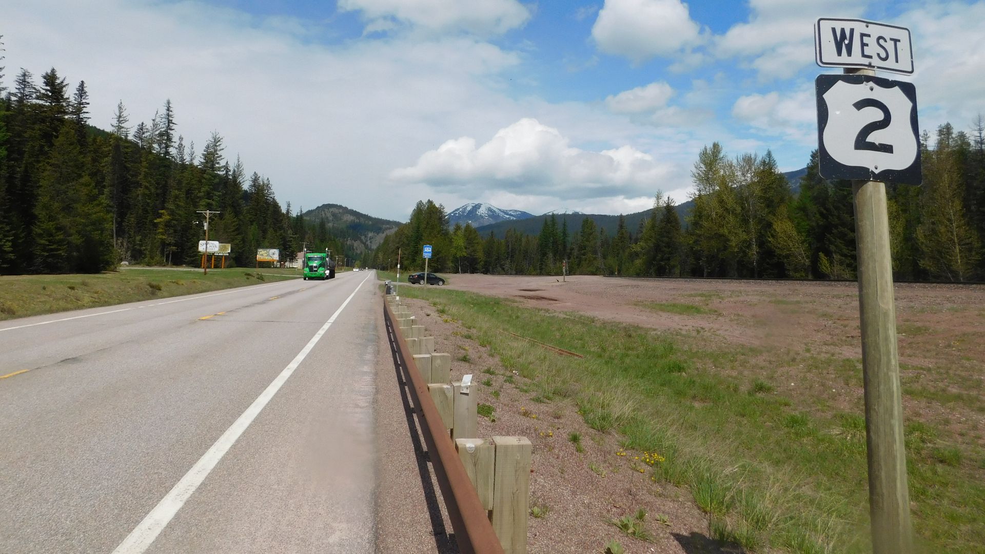
U.S. Route 2
U.S. 2 was another original 1926 highway, crossing the country's far north in two major sections. It offered motorists a dramatically different America from the crowded eastern corridors, passing through forests, farming country, mountain landscapes, and communities near the Canadian border.
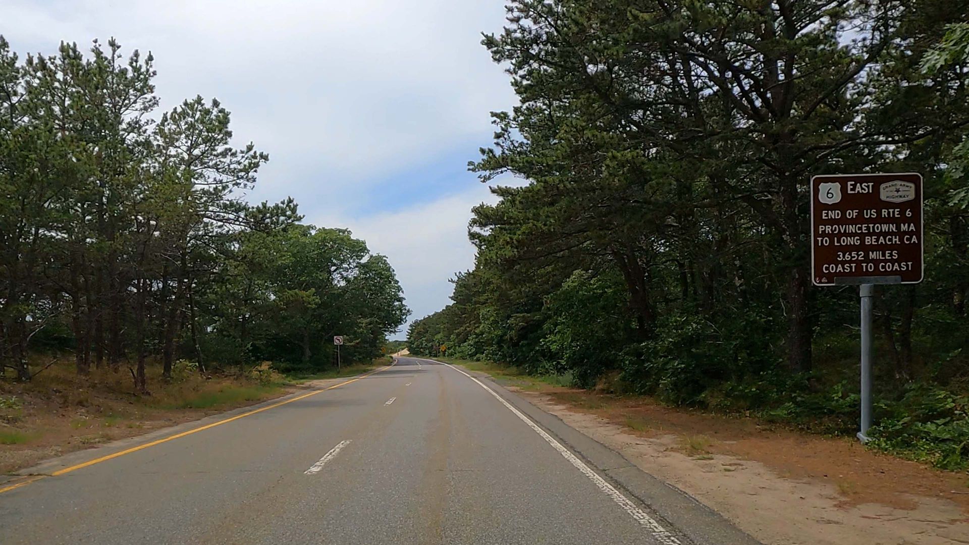
U.S. Route 6
U.S. 6 began much more modestly than the road it became. Originally a New England route, it was repeatedly extended westward and eventually reached California. It was later officially named the Grand Army of the Republic Highway.
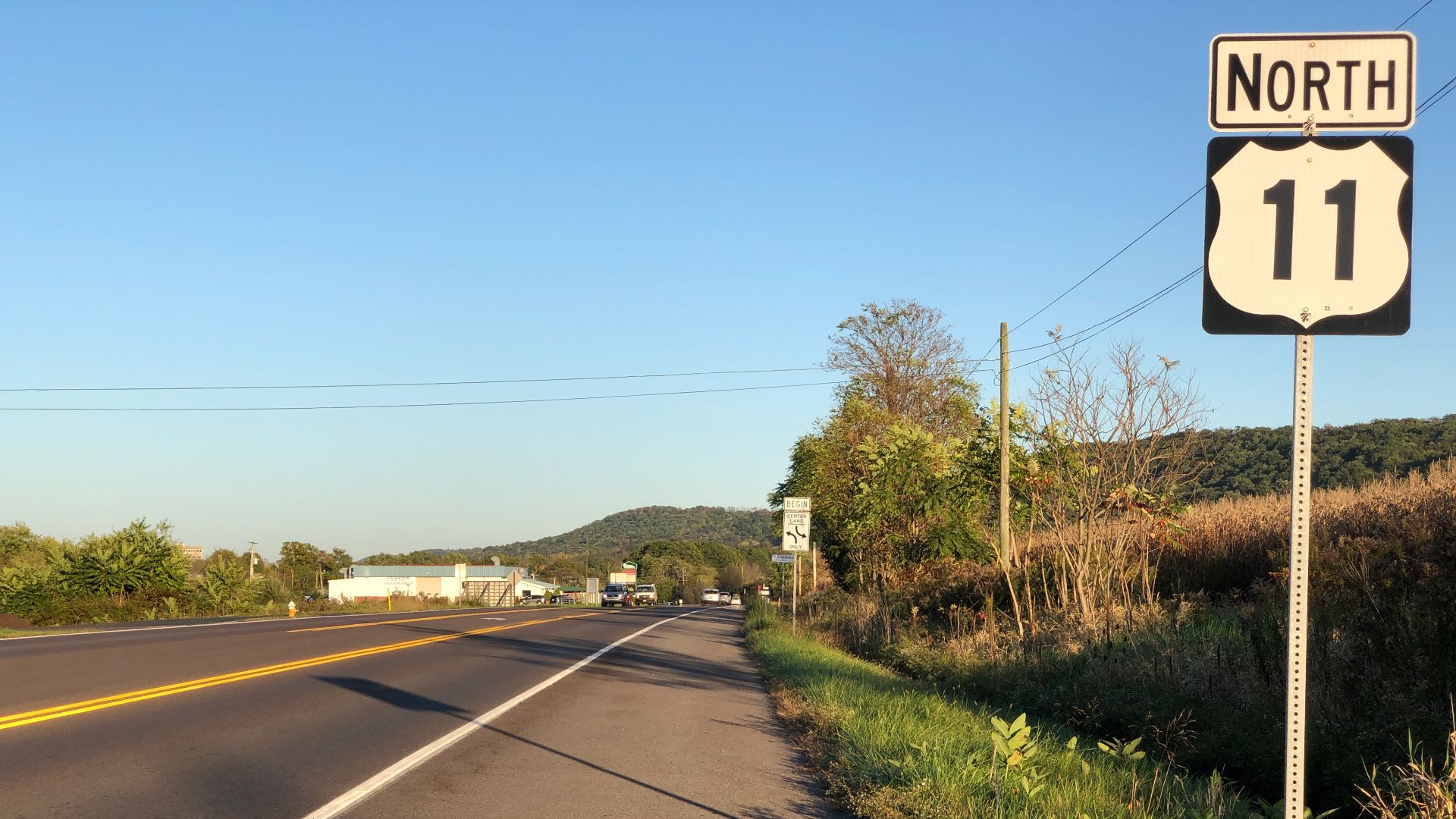
U.S. Route 11
Established in 1926, U.S. 11 became an important north-south route through the eastern United States. Long before nearby Interstates handled most through traffic, Route 11 passed directly through communities, giving motorists plenty of diners, gas stations, motels, and stoplights.
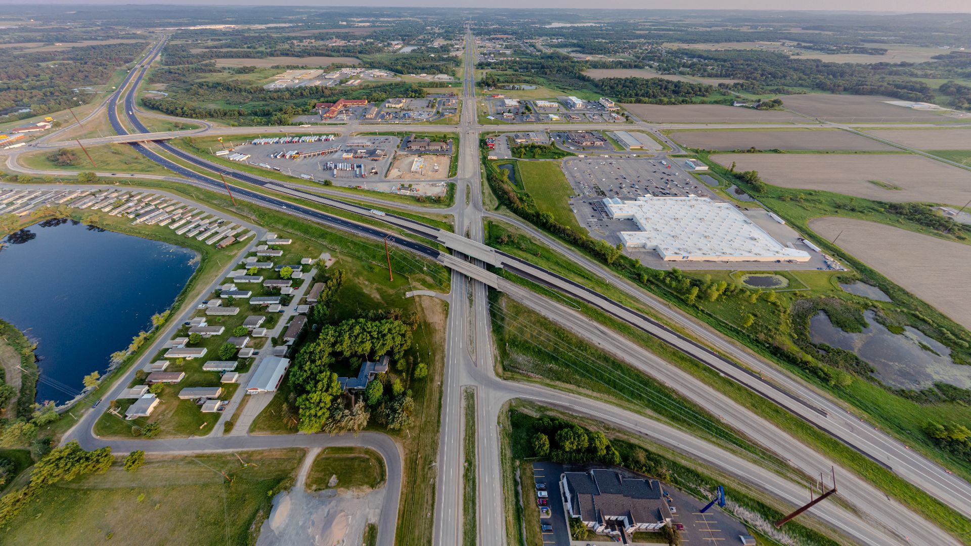
U.S. Route 12
U.S. 12 was part of the original numbered system and eventually connected Detroit with the Pacific Northwest. Portions followed much older travel corridors. Today, surviving sections offer a reminder of when major highways routinely ran straight through America's downtowns.
U.S. Route 20
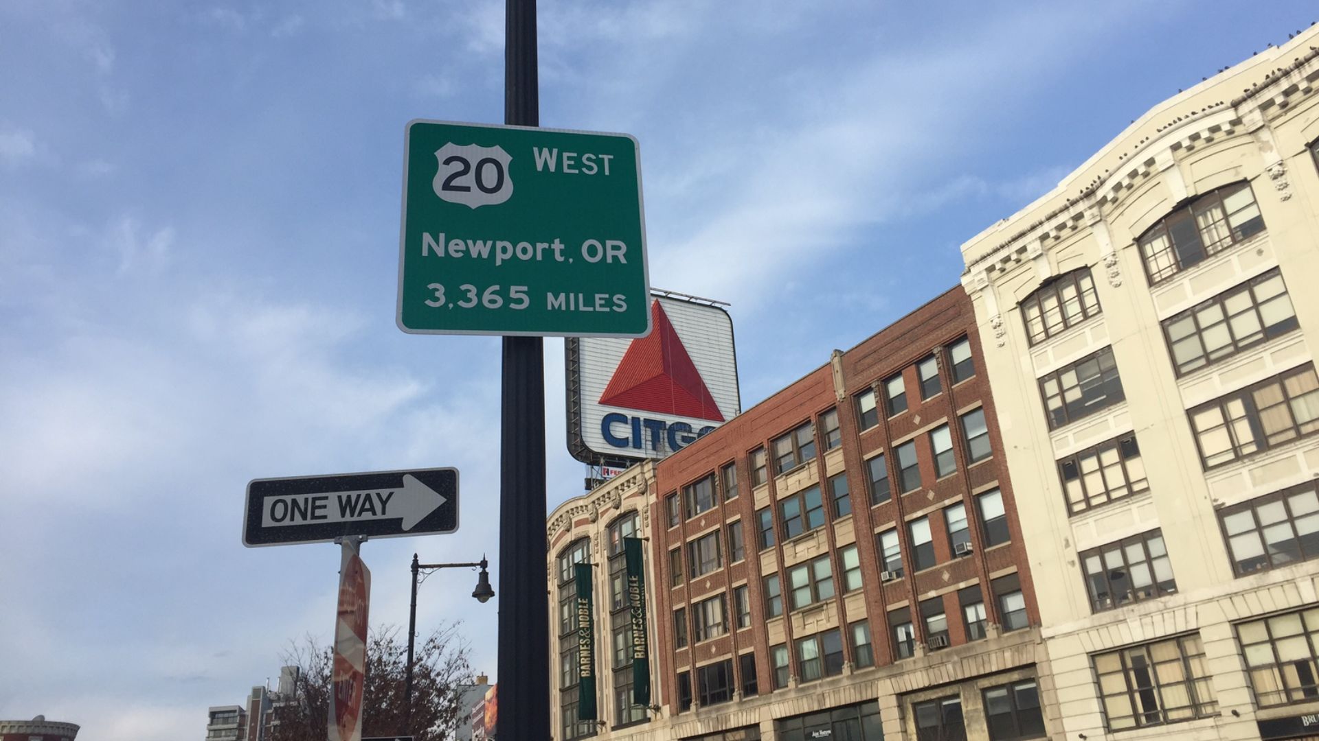
U.S. 20 dates to the original 1926 system and eventually stretched from Boston to Newport, Oregon. Its journey crosses an astonishing variety of landscapes, including small towns, farmland, mountains, and areas near Yellowstone, making it an old-school American road trip.
U.S. Route 30
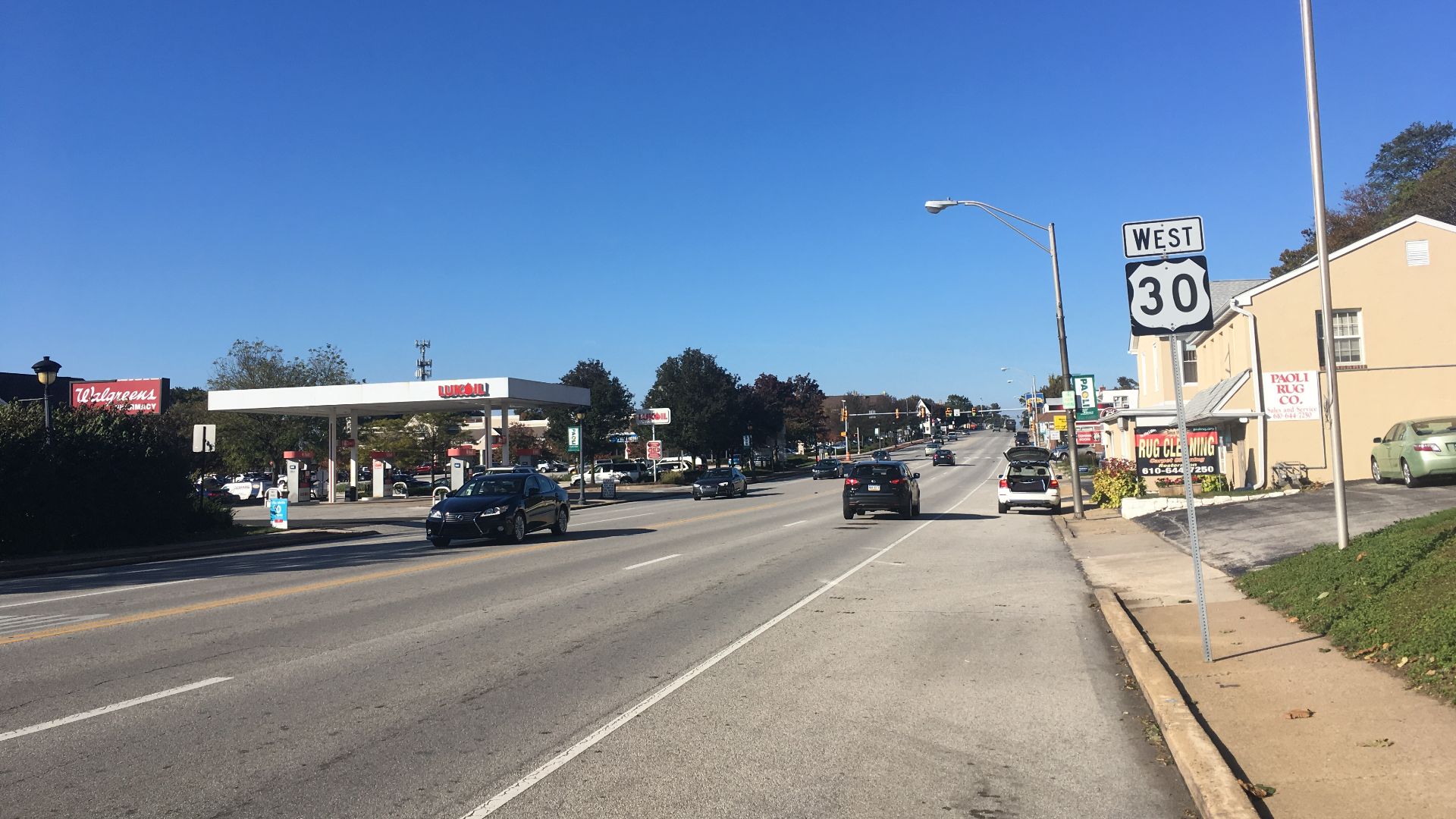
If U.S. 30 feels suspiciously like the Lincoln Highway in places, there's a reason. Much of the famous earlier road was incorporated into Route 30 after 1926. The highway consequently inherited a huge piece of America's earliest coast-to-coast motoring history.
U.S. Route 40
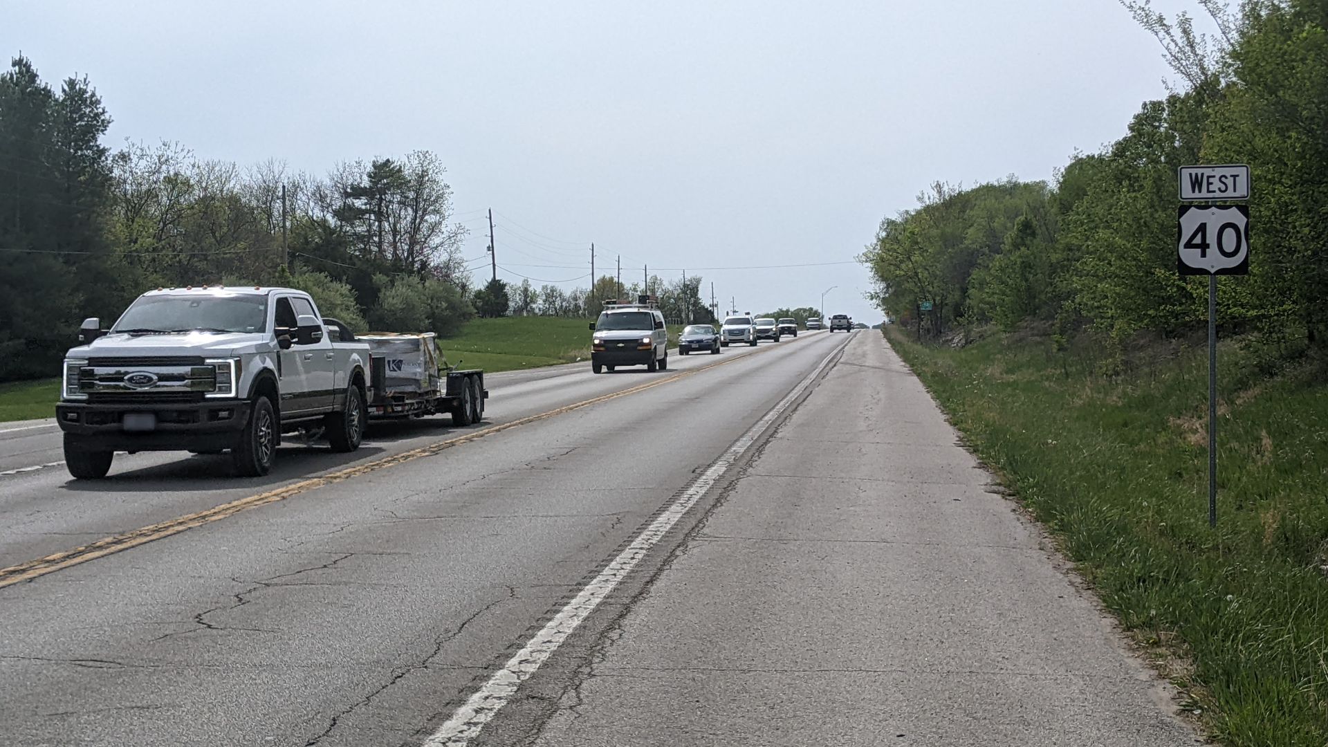
Route 40 carries layers of American transportation history. Established in 1926, it incorporated portions of older roads, including the National Road and National Old Trails Road. Before modern Interstates, this was one of America's great east-west highways.
 Rowen Hansen, Wikimedia Commons
U.S. Route 50
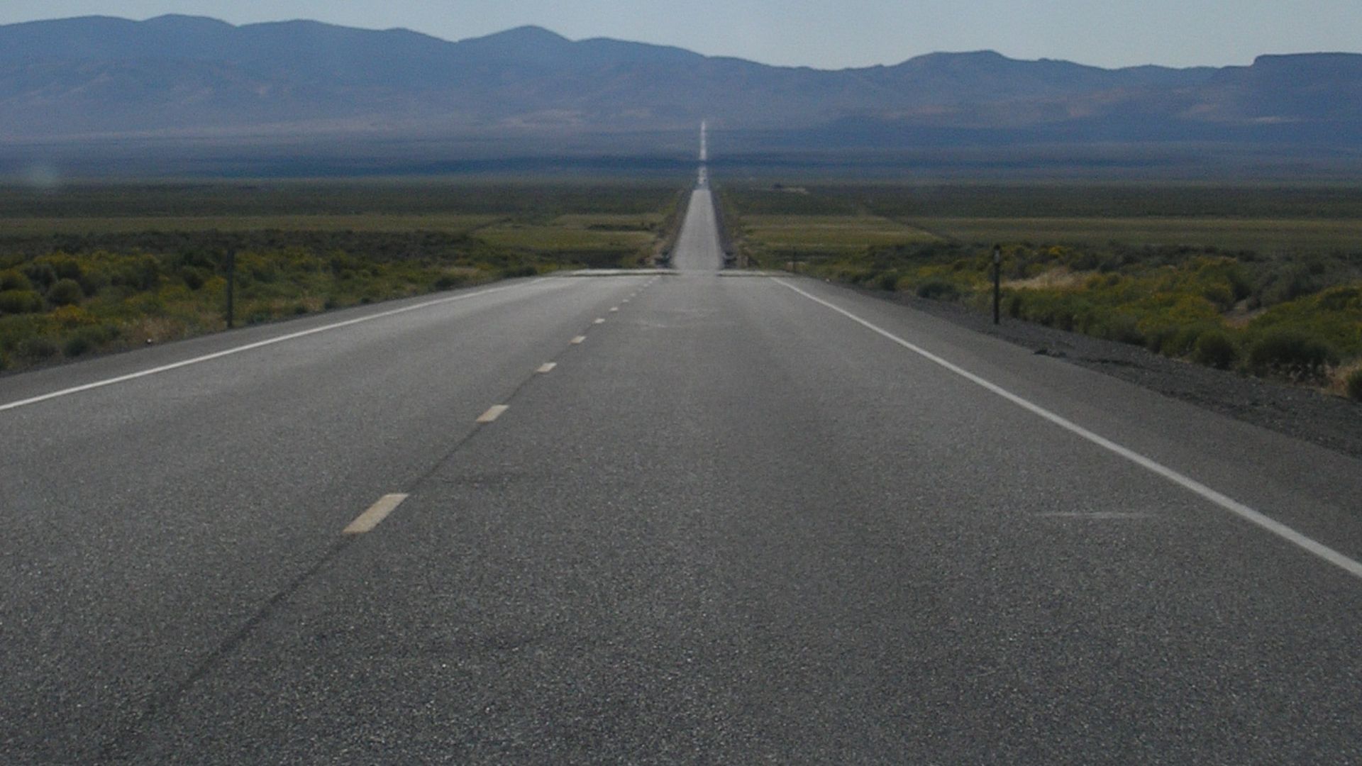
U.S. 50 was created in 1926 and eventually stretched from Maryland to California. Parts of its western journey remain famously lonely today. Before Interstate travel, however, roads like this were normal: mountains, deserts, small towns, and very long stretches between destinations.
 Regulator78 at English Wikipedia, Wikimedia Commons
U.S. Route 60
One of the original numbered highways, U.S. 60 became a major east-west route stretching from Virginia toward the Southwest. Its history also involves one of America's great highway-numbering arguments, because Kentucky strongly wanted the prestigious "60" designation for its route.
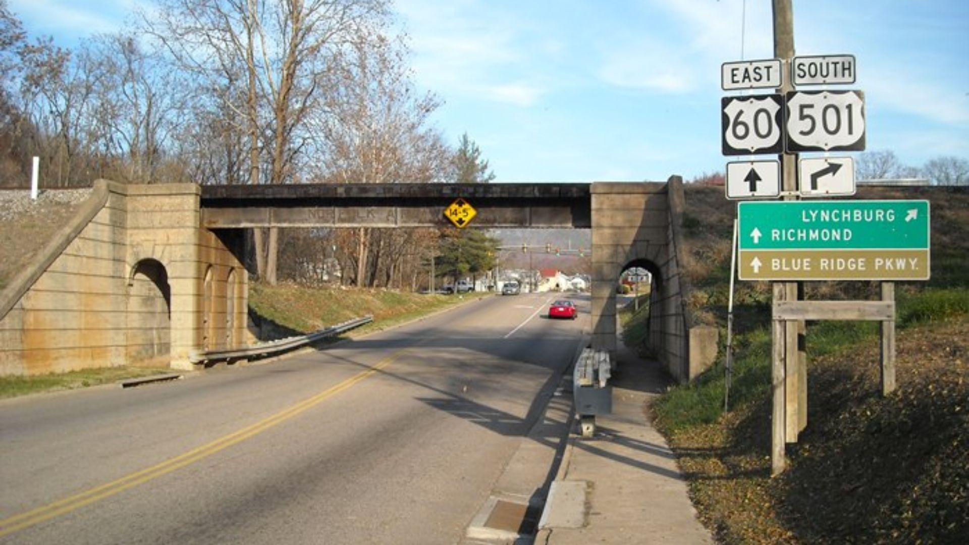 Galen A. Wright (K4cno at English Wikipedia), Wikimedia Commons
U.S. Route 70
U.S. 70 was another original 1926 highway, linking the Southeast with the Southwest. Before Interstates rerouted travelers onto faster divided highways, Route 70 carried motorists through courthouse squares, business districts, mountain communities, and countless little towns along the way.
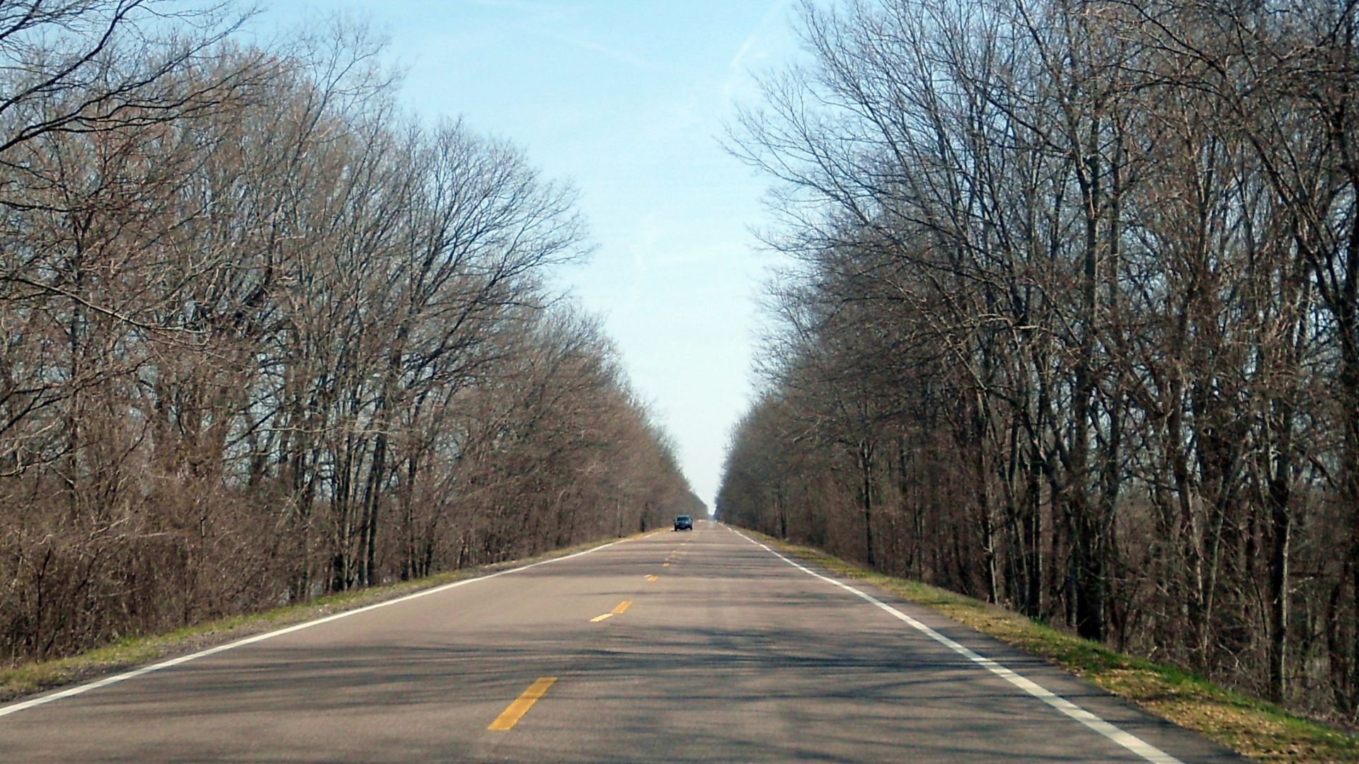 Brandonrush, Wikimedia Commons
U.S. Route 80
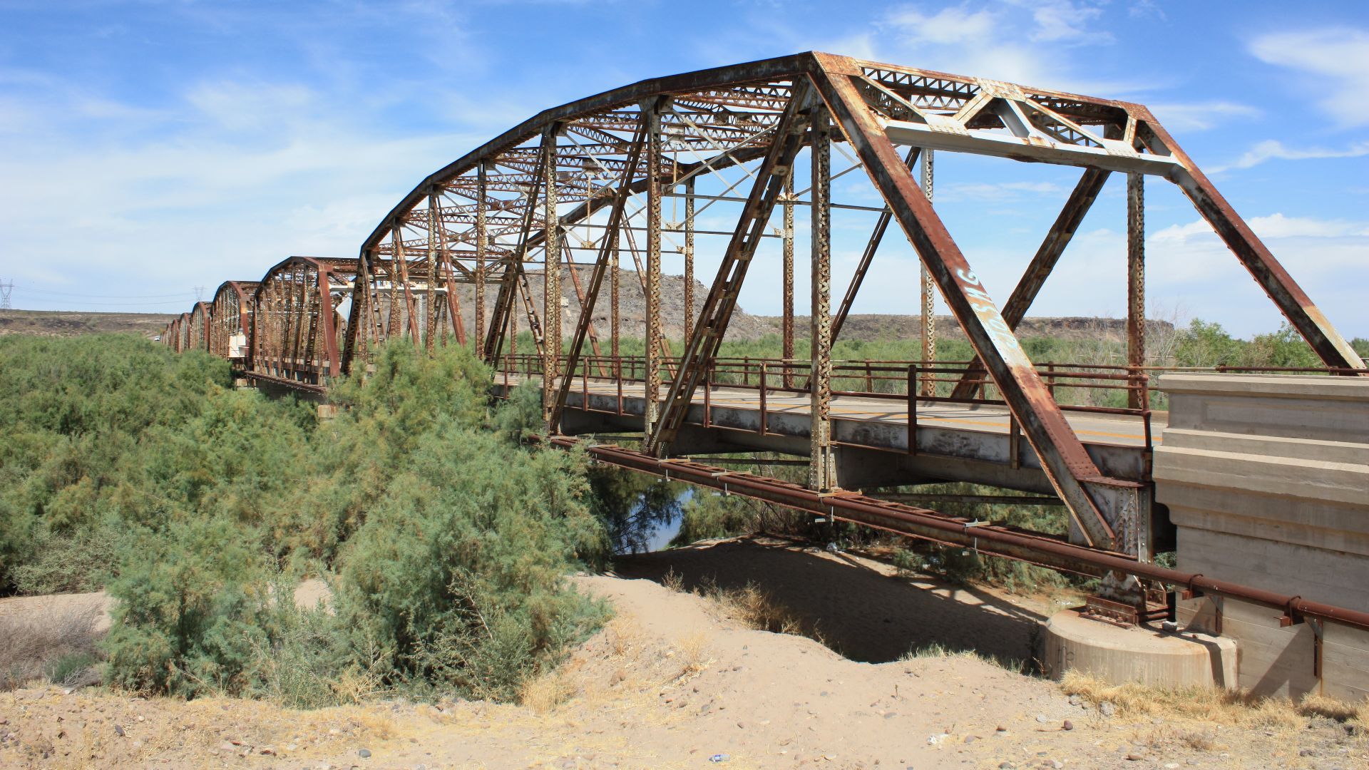
Once a major coast-to-coast road, U.S. 80 originally connected the Southeast with San Diego. Its southern route made it especially important before the Interstate era. Parts were later replaced or bypassed by highways including I-8, I-10, and I-20.
U.S. Route 90
Established in 1926, U.S. 90 became one of the great southern highways, eventually stretching from Florida to Texas. It carried travelers along the Gulf Coast and through cities including New Orleans long before Interstate 10 became the obvious cross-country choice.
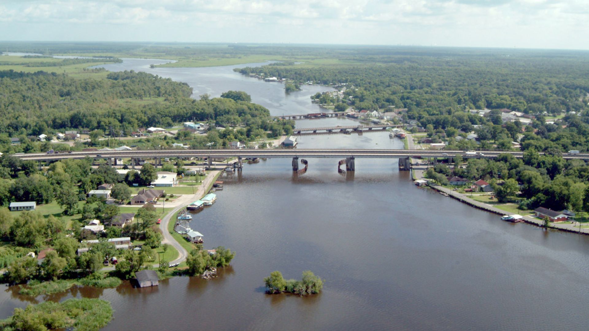 Lane Lefort, U.S. Army Corps of Engineers, Wikimedia Commons
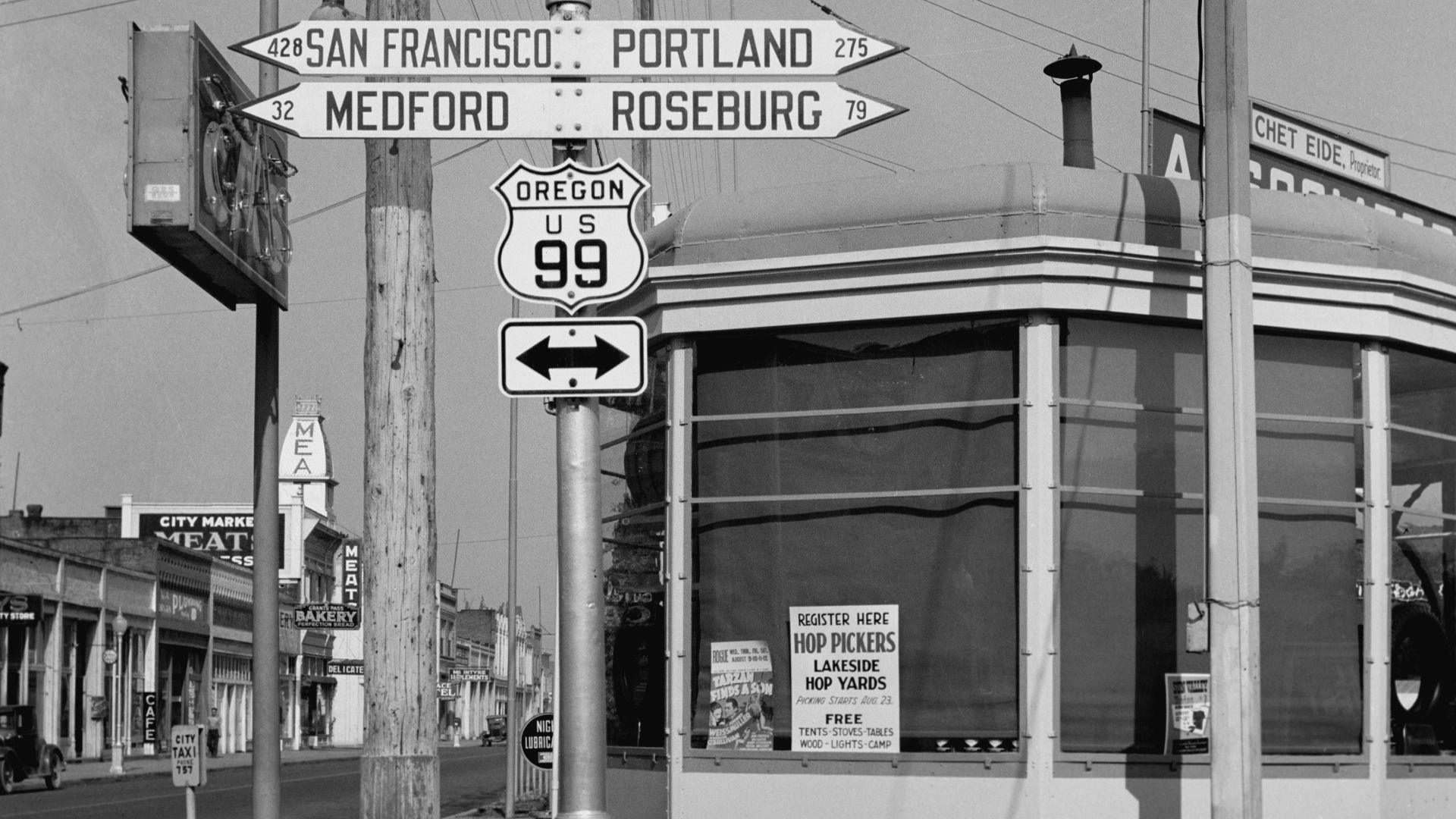
U.S. Route 99
For generations of West Coast motorists, U.S. 99 was the big north-south highway. Established in 1926, it traveled through California's agricultural heartland and north toward the Pacific Northwest. Interstate 5 eventually replaced much of its long-distance role.
 Dorothea Lange, Wikimedia Commons
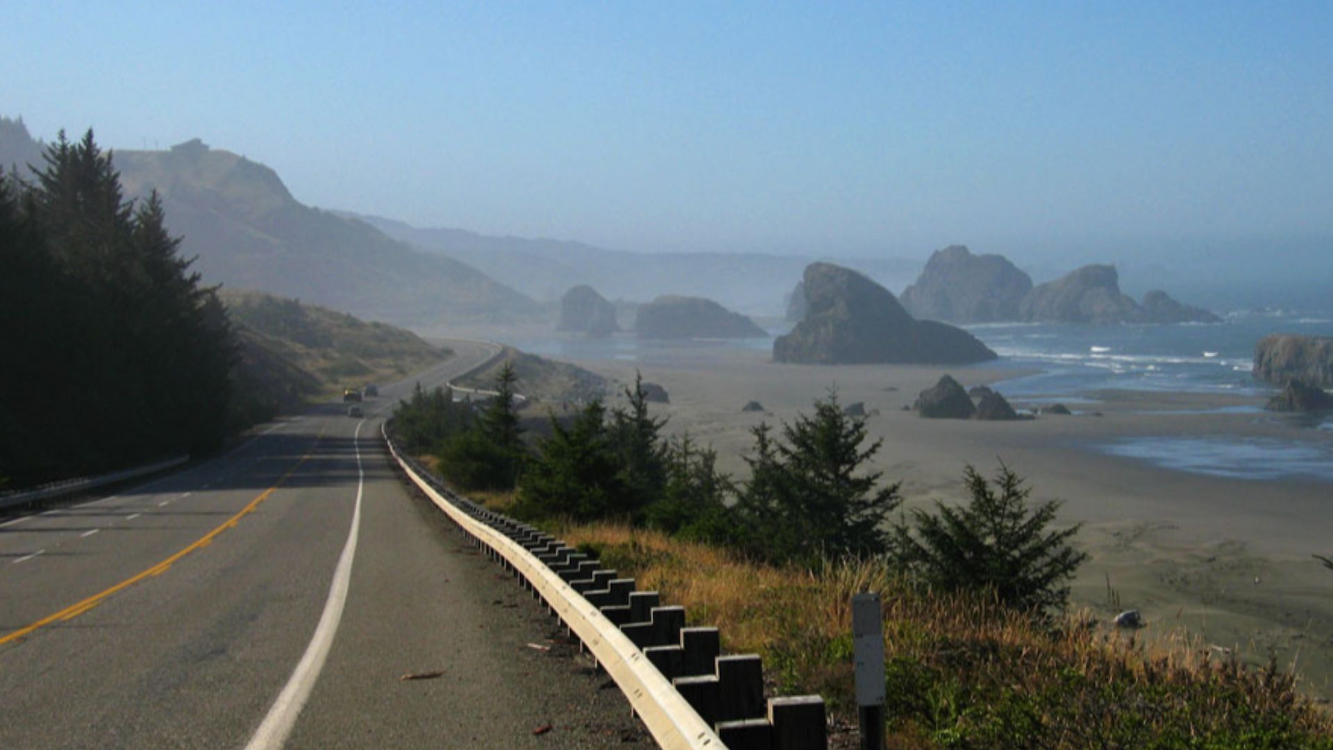
U.S. Route 101
Few pre-Interstate highways have scenery quite like U.S. 101. Created in 1926, the route runs through the West Coast states, including spectacular coastal stretches. Long before modern freeways, 101 was already carrying motorists between major western communities and vacation destinations.
 Daniel Hershman from Federal Way, US, Wikimedia Commons
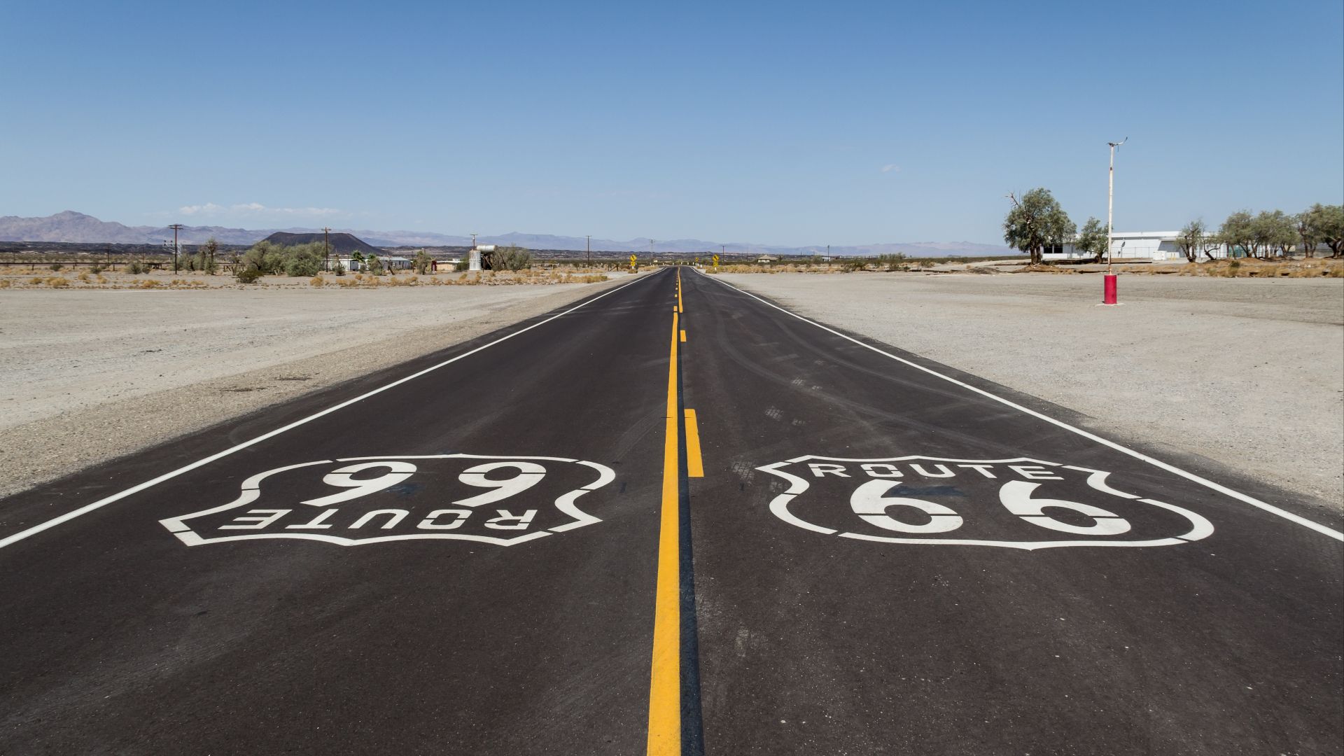
Route 66
Established in 1926, Route 66 connected Chicago with Los Angeles and became the most famous American highway of them all. Migrants, vacationers, truckers, and dreamers followed it west. Later, the Interstate System gradually bypassed and replaced the legendary road.
 Dietmar Rabich, Wikimedia Commons
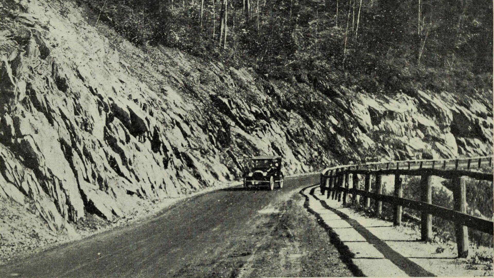
The Mohawk Trail
The Massachusetts Mohawk Trail follows a corridor with roots far older than the automobile. Developed as a scenic motor route in the early 20th century, it became famous for dramatic Berkshire scenery, steep grades, roadside attractions, and wonderfully old-fashioned touring.
 Caldwell, F. B., Mrs, Wikimedia Commons
The Theodore Roosevelt International Highway
This ambitious named route connected Portland, Maine, with Portland, Oregon, while including a Canadian section. Promoted during the named-highway craze, it honored Theodore Roosevelt and offered motorists another colorful option before standardized route numbers made navigation considerably less confusing.
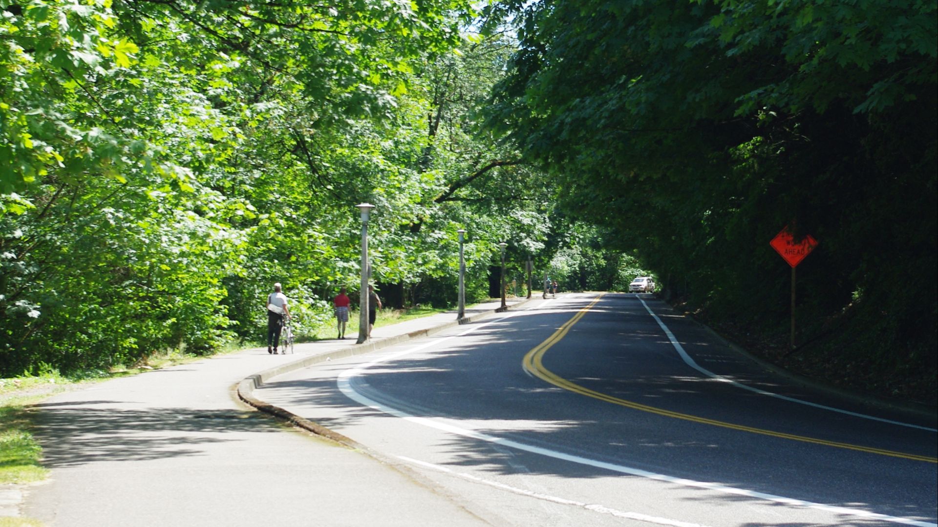 M.O. Stevens, Wikimedia Commons
The Pikes Peak Ocean To Ocean Highway
Few road names promised more. The Pikes Peak Ocean to Ocean Highway was promoted as a transcontinental route connecting New York with Los Angeles through Colorado. Its wonderfully grand name eventually disappeared as numbered highways replaced America's patchwork of branded trails.
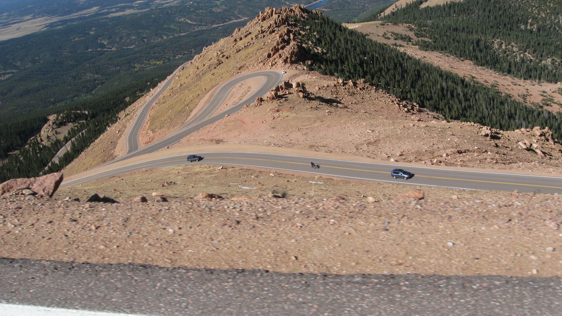 DrunkDriver, Wikimedia Commons
The Meridian Highway
The Meridian Highway developed as an important north-south automobile trail through the central United States. It connected communities from the Canadian border toward Texas and helped demonstrate how badly motorists needed dependable long-distance roads before standardized U.S. route numbers arrived.
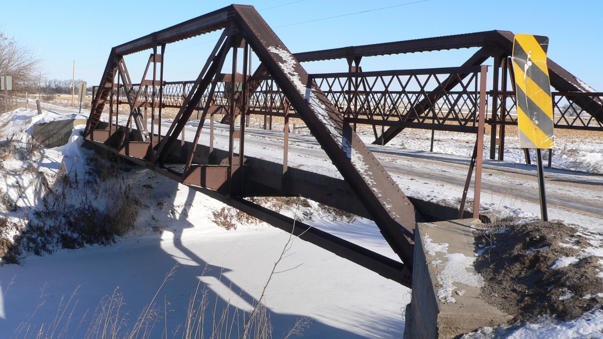
The King Of Trails Highway
The wonderfully named King of Trails was another north-south auto trail, promoted between Canada and the Mexican border. Early travelers followed painted route markers rather than today's standardized shields, making a long road trip part vacation and part navigation challenge.
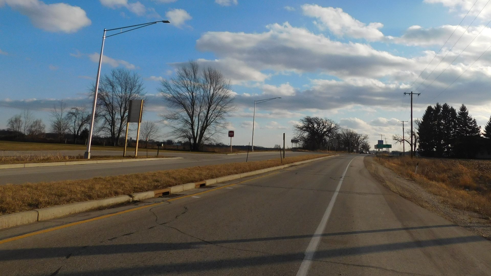 Mitchazenia, Wikimedia Commons
The Jackson Highway
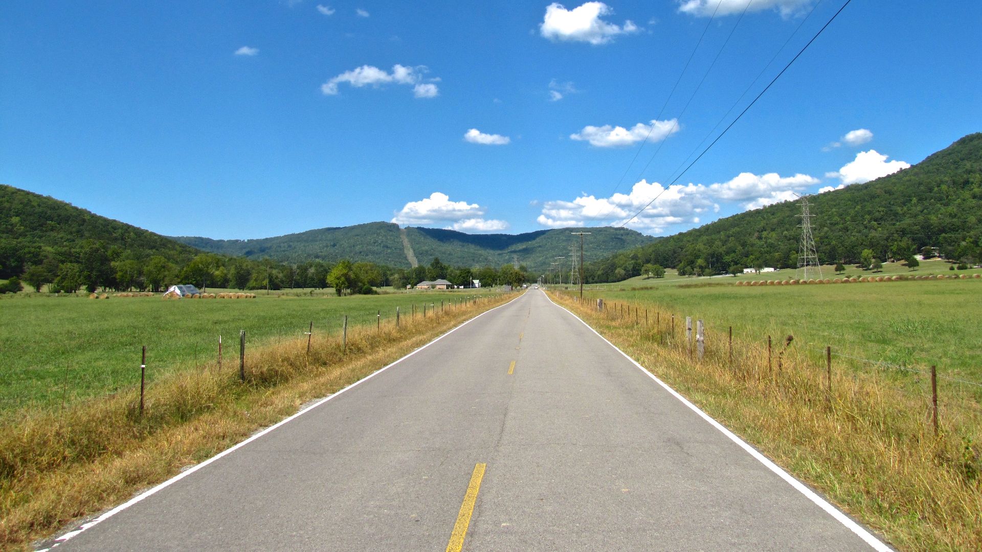
The Jackson Highway linked Chicago with New Orleans during the named-trail era. Promoters marketed these routes aggressively because a highway could bring travelers, gasoline sales, restaurants, hotels, and money through town. Getting onto the route could be very good business.
 Brian Stansberry, Wikimedia Commons
The Victory Highway
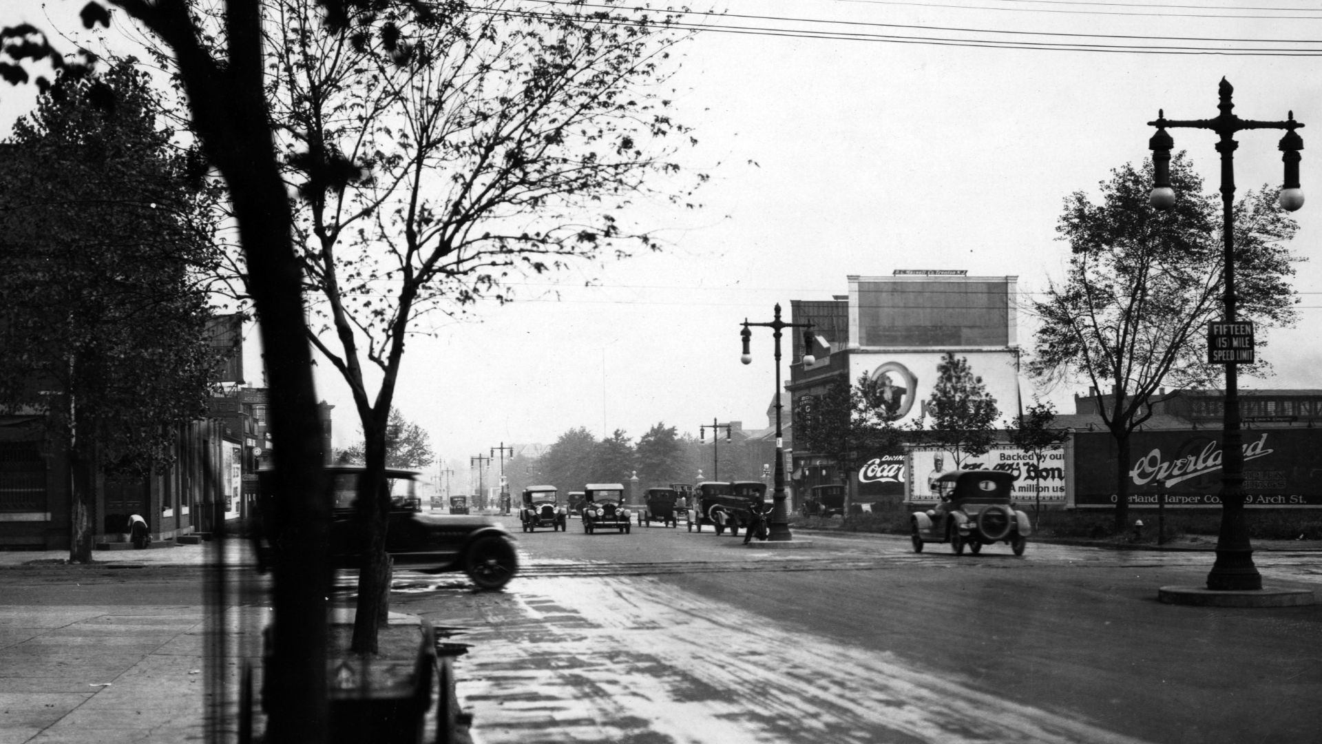
Created after World War I, the Victory Highway was promoted as another transcontinental route between the East and California. In the West it sometimes competed with the Lincoln Highway, illustrating just how crowded and confusing America's named-road system had become by the 1920s.
The Atlantic Highway
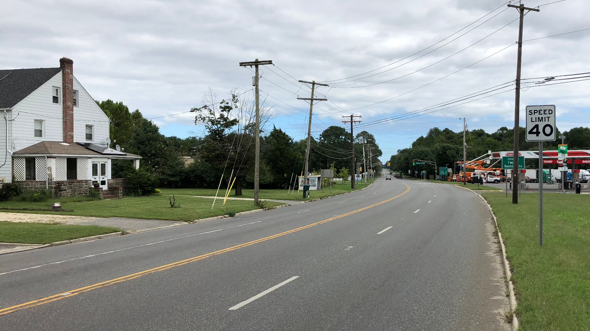
The Atlantic Highway was promoted as a north-south automobile route along the eastern side of the country. Like other named trails, it helped motorists navigate before standardized numbering. Eventually, U.S. routes made colorful names and painted roadside markers increasingly unnecessary.
Then The Interstates Changed Everything
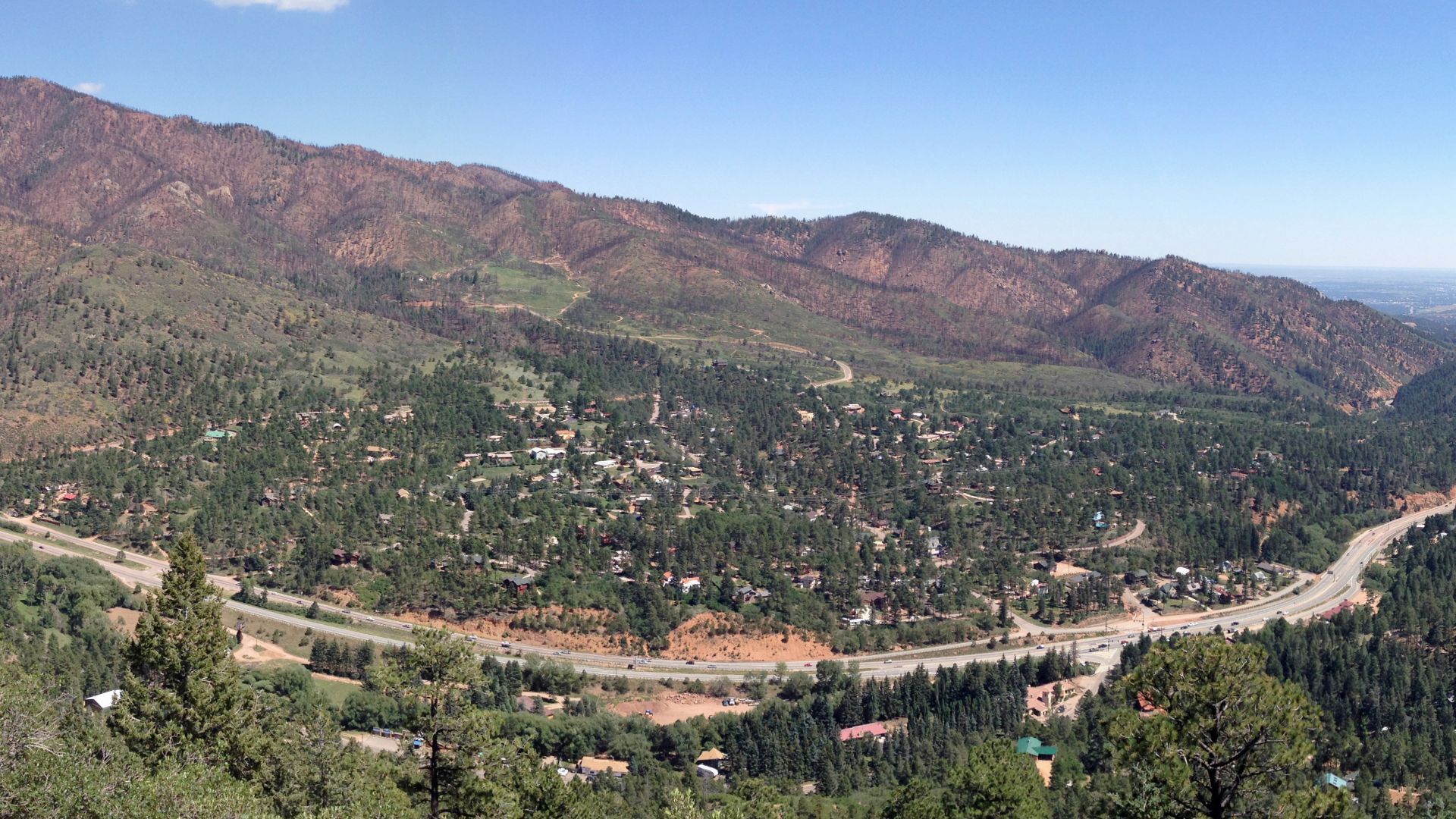
America officially adopted its numbered U.S. Highway System in 1926, replacing much of the chaotic named-trail system. Thirty years later, the Federal-Aid Highway Act of 1956 launched the modern Interstate era. Suddenly, old highways lost through traffic as motorists discovered faster, controlled-access roads. Yet that's exactly why the surviving routes are so much fun today: slow down, leave the Interstate, and you can still find pieces of the America drivers once saw through the windshield.
 Fredlyfish4, Wikimedia Commons
You May Also Like: How A&P Went From An American Household Name To One Of Retail's Biggest Collapses