The Discovery Of A Sunken Russian Settlement May Change Everything We Know About Sailing The Seven Seas
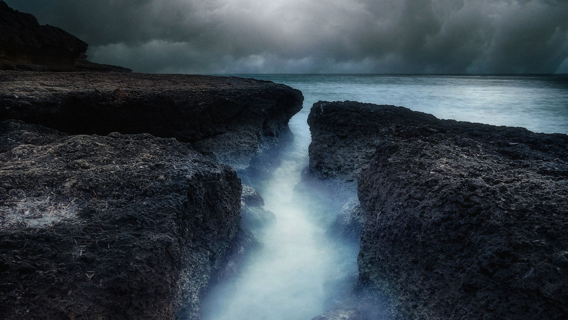
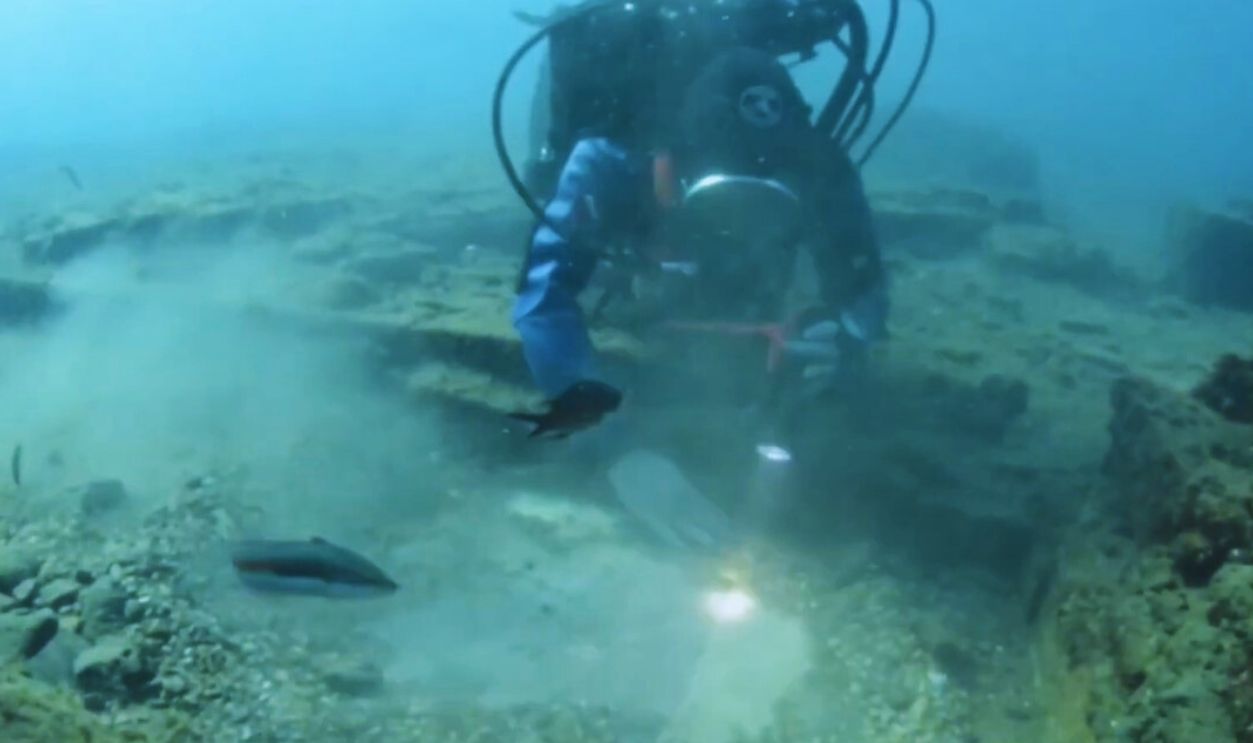
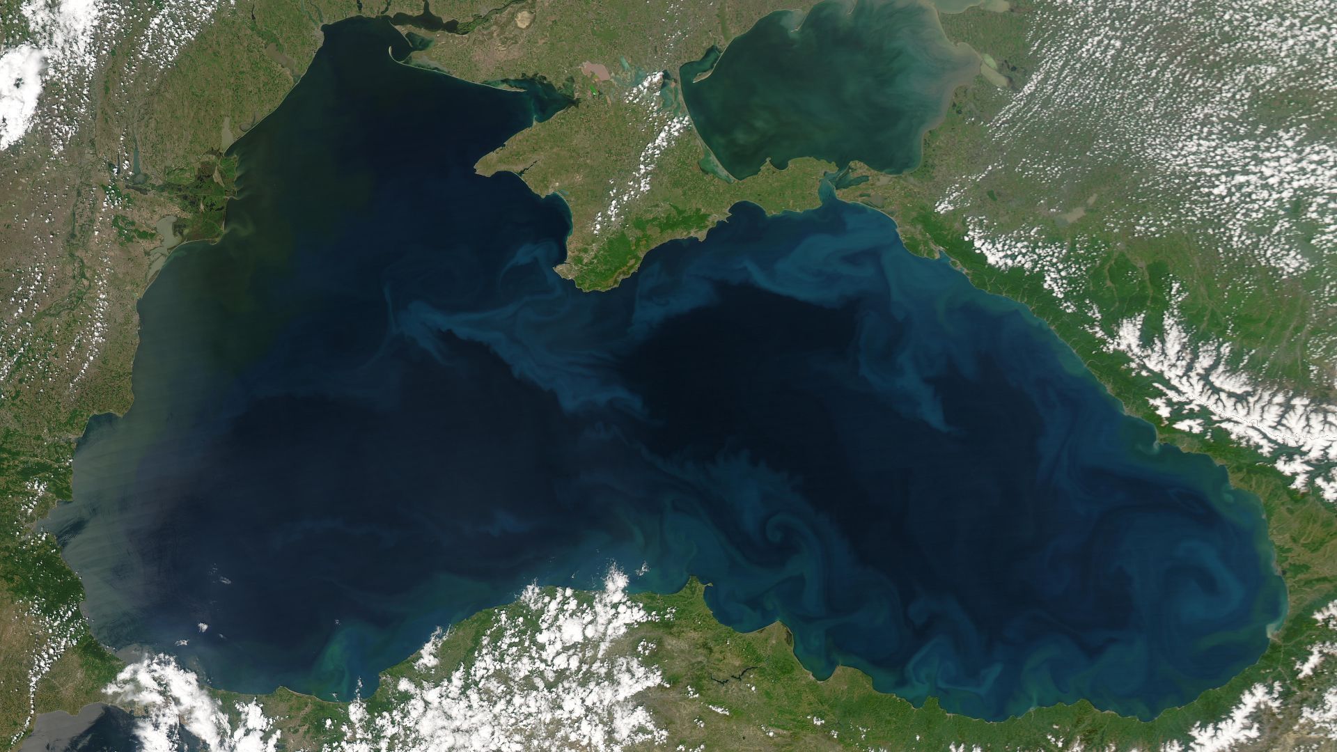
A forgotten shoreline can be a ruthless editor of human history. When sea levels rose after antiquity, coastal places that once buzzed with trade, ritual, and migration slipped below the waves and out of our stories. Now, an ancient sunken settlement off the Crimean coast of the Black Sea—known as Akra—has been steadily reappearing through underwater archaeology. What scholars are finding there doesn’t just enrich local history; it challenges our sense of how far-flung and sophisticated seafaring societies in the northern Black Sea really were. With stone-built defenses, imported amphorae, coins, and inscriptions, Akra looks less like a marginal outpost and more like a linchpin in a maritime world that stitched together the steppe, the Caucasus, and the wider Mediterranean.
A City That Slipped Beneath The Sea
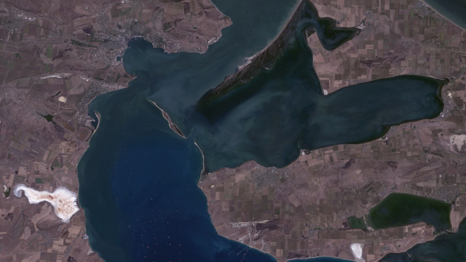
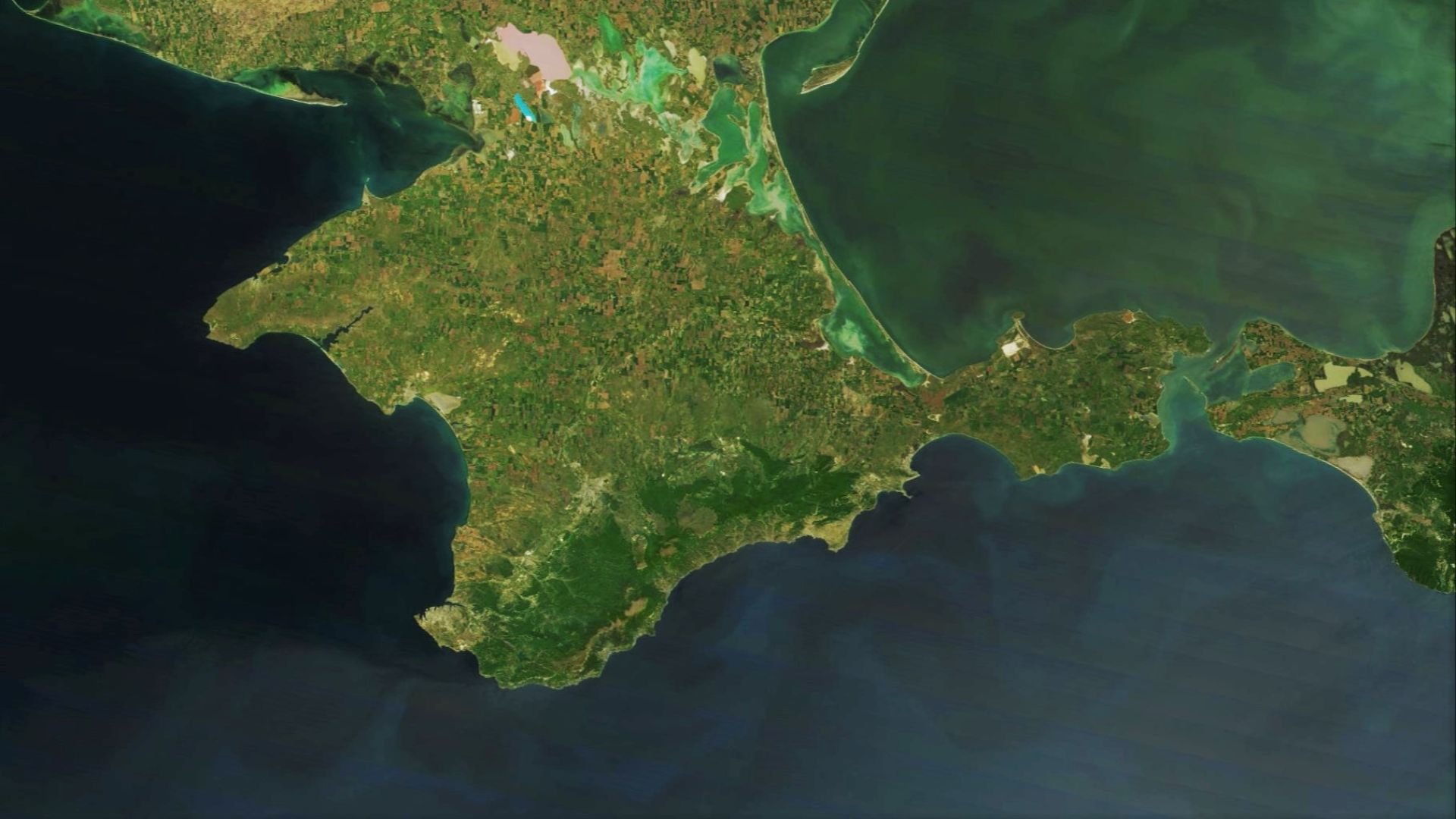
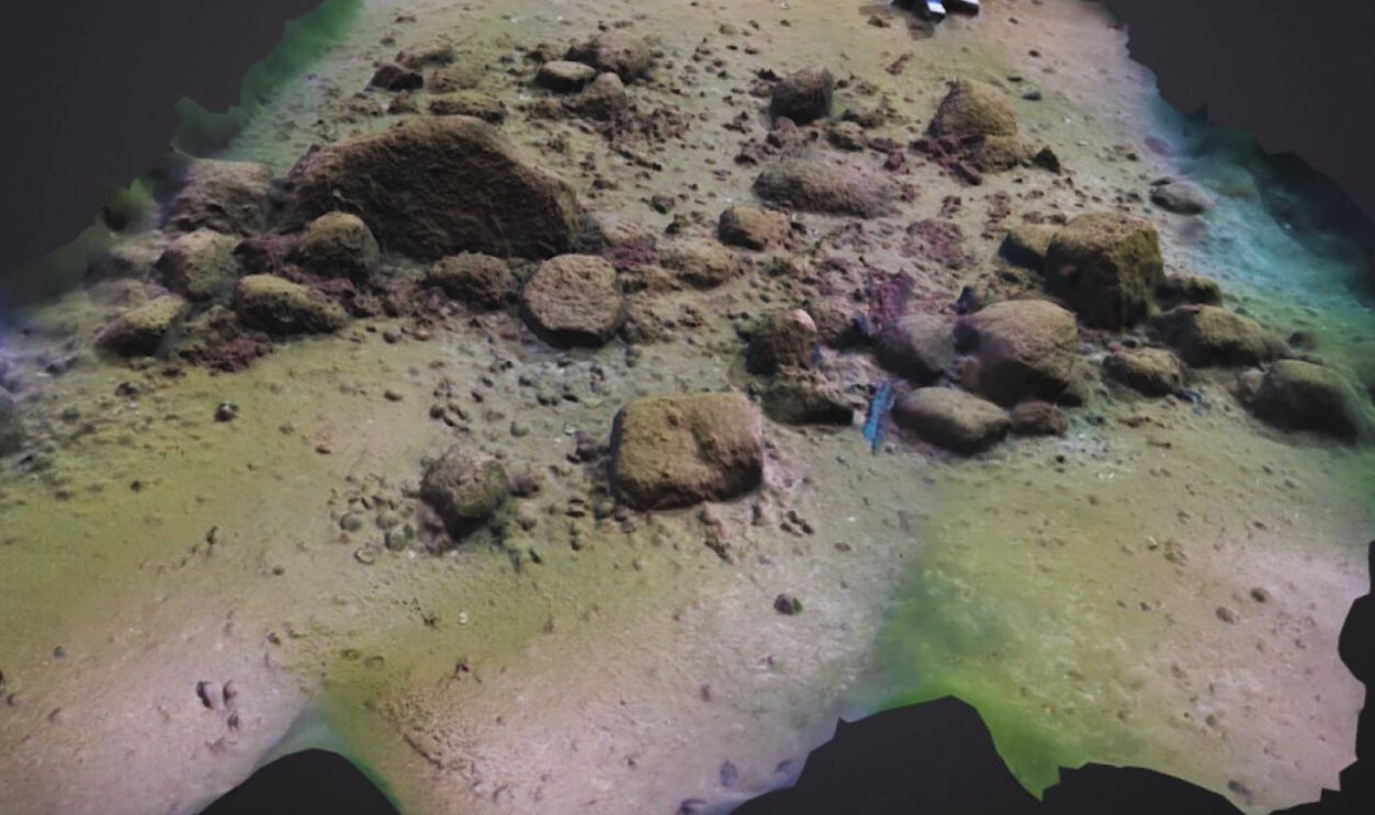
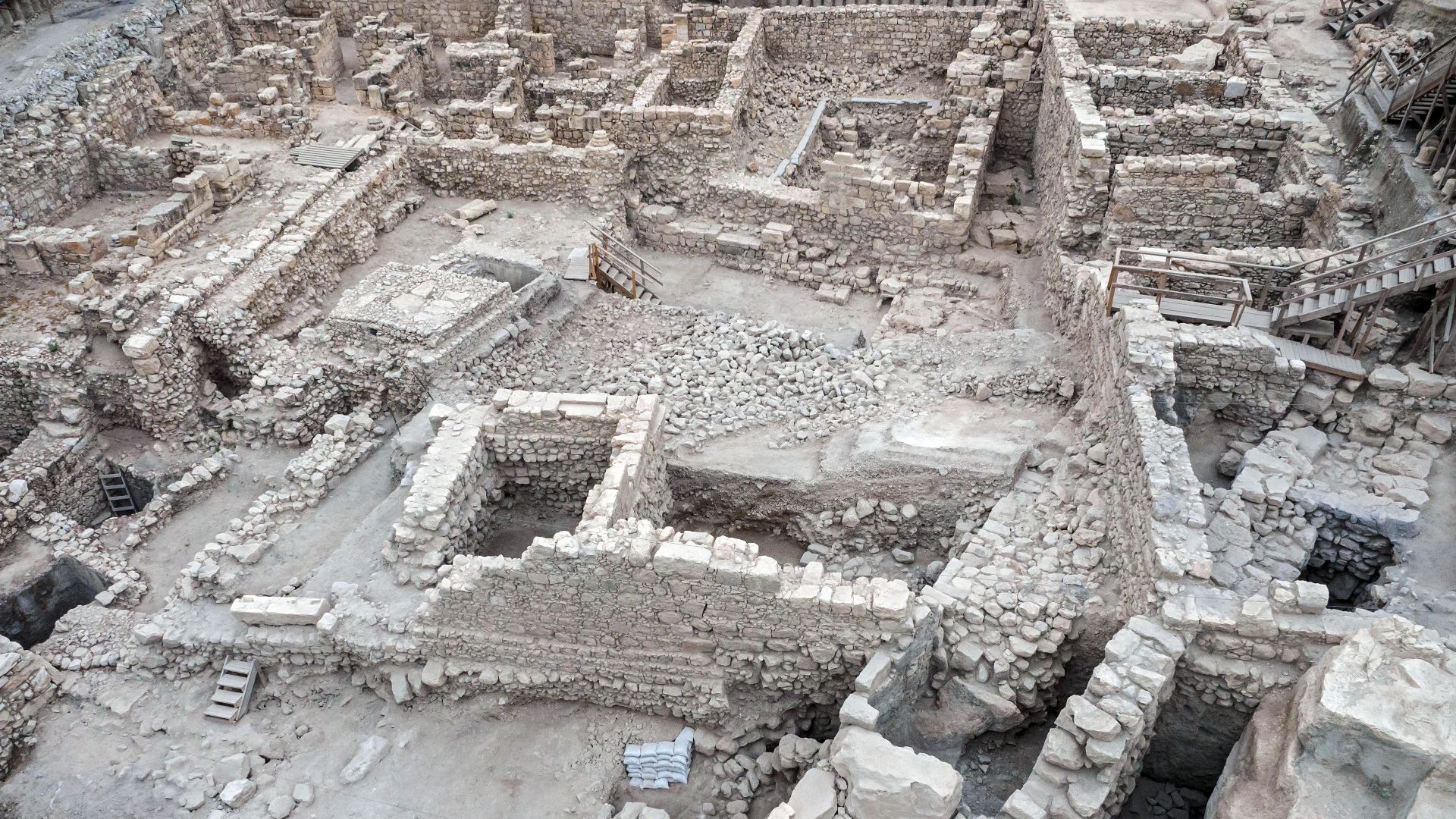
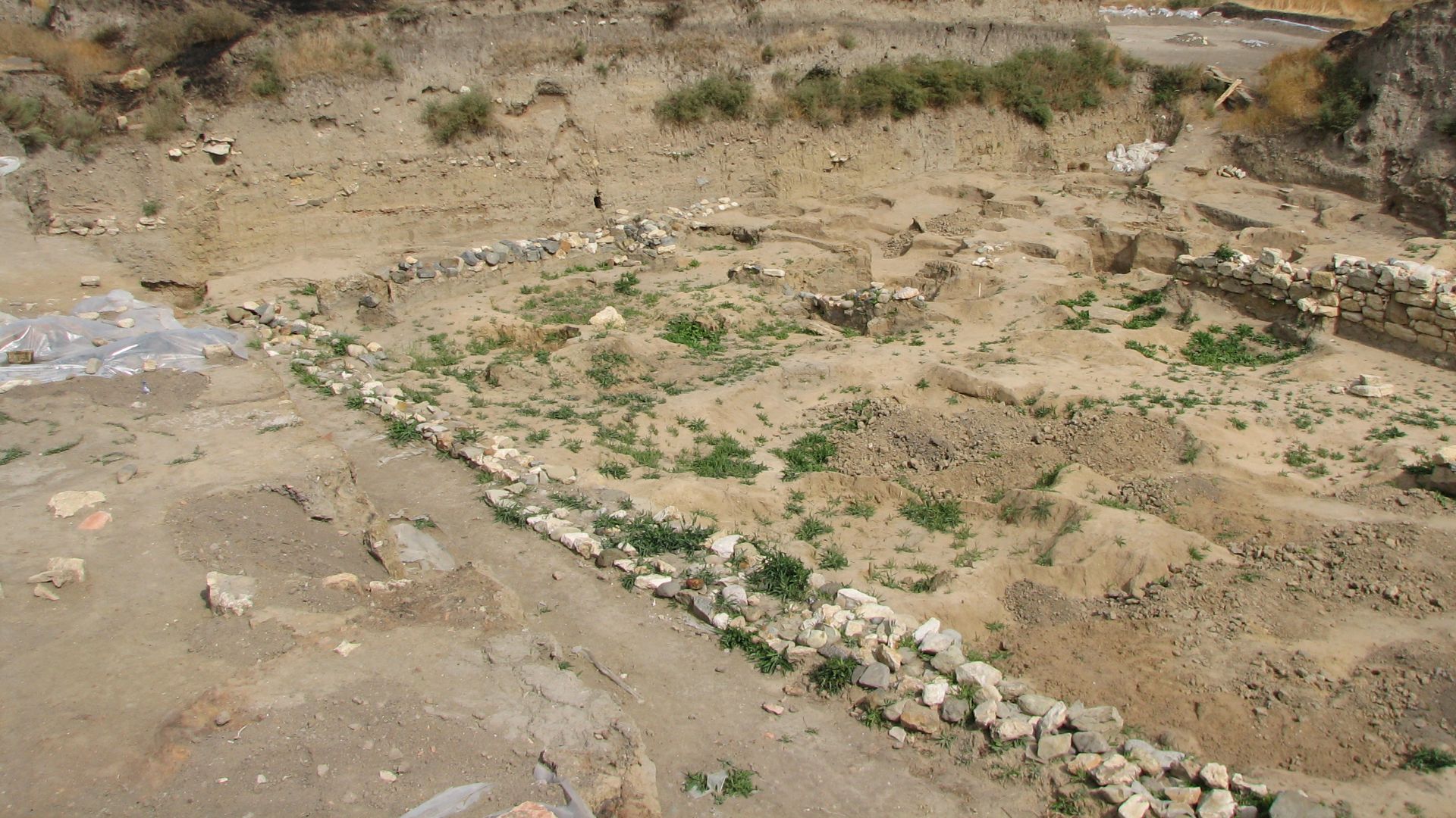
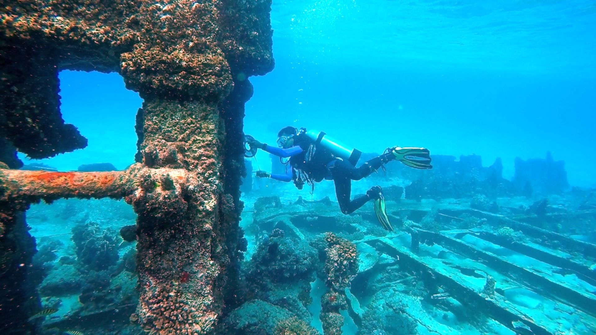
Akra was founded in the late 6th century BCE near today’s Kerch Strait and later drowned by Black Sea transgression. Most of the site now lies underwater, preserving architecture and artifacts that surf action destroyed elsewhere along the coast.
Why Akra Matters Now
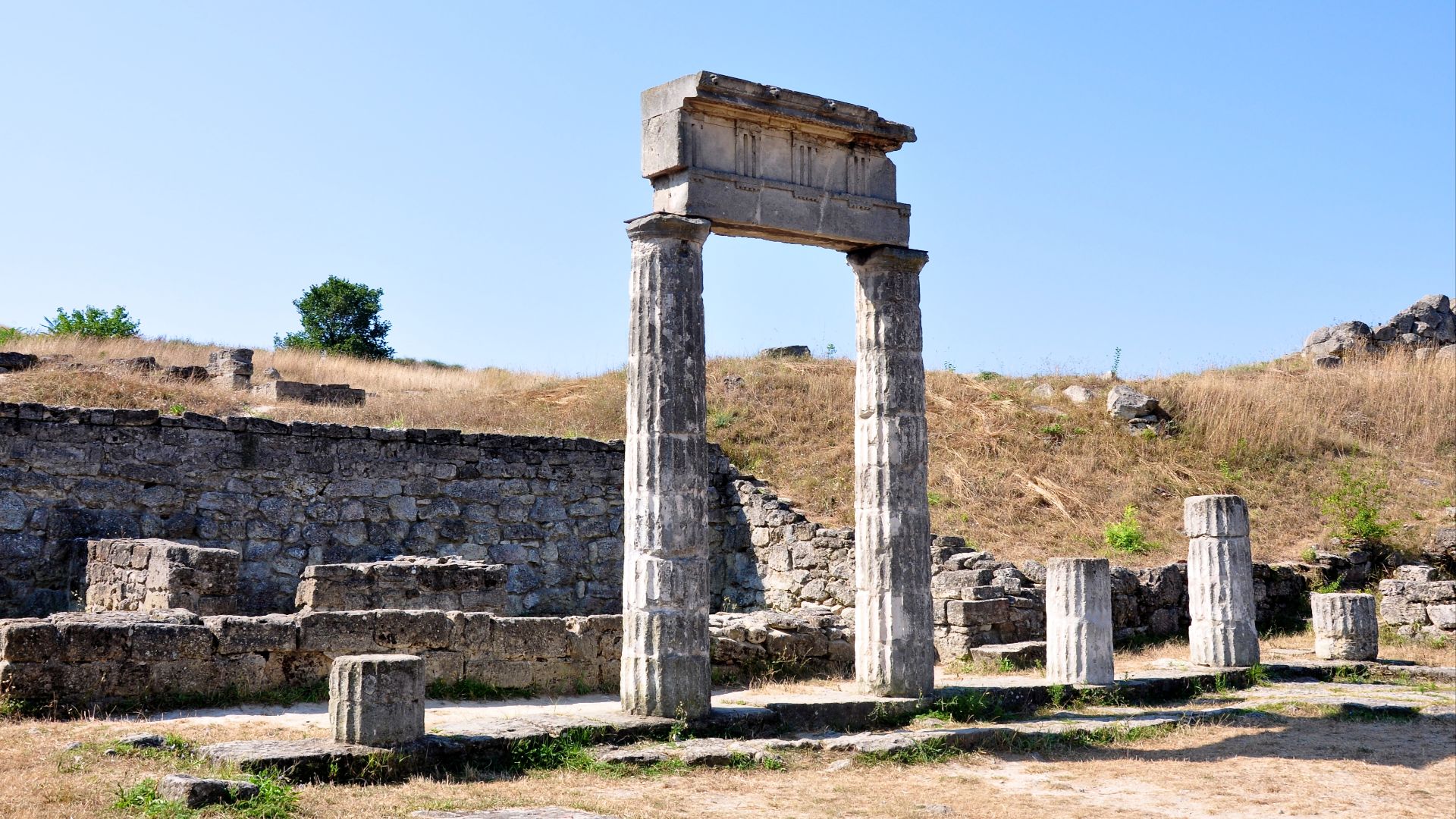
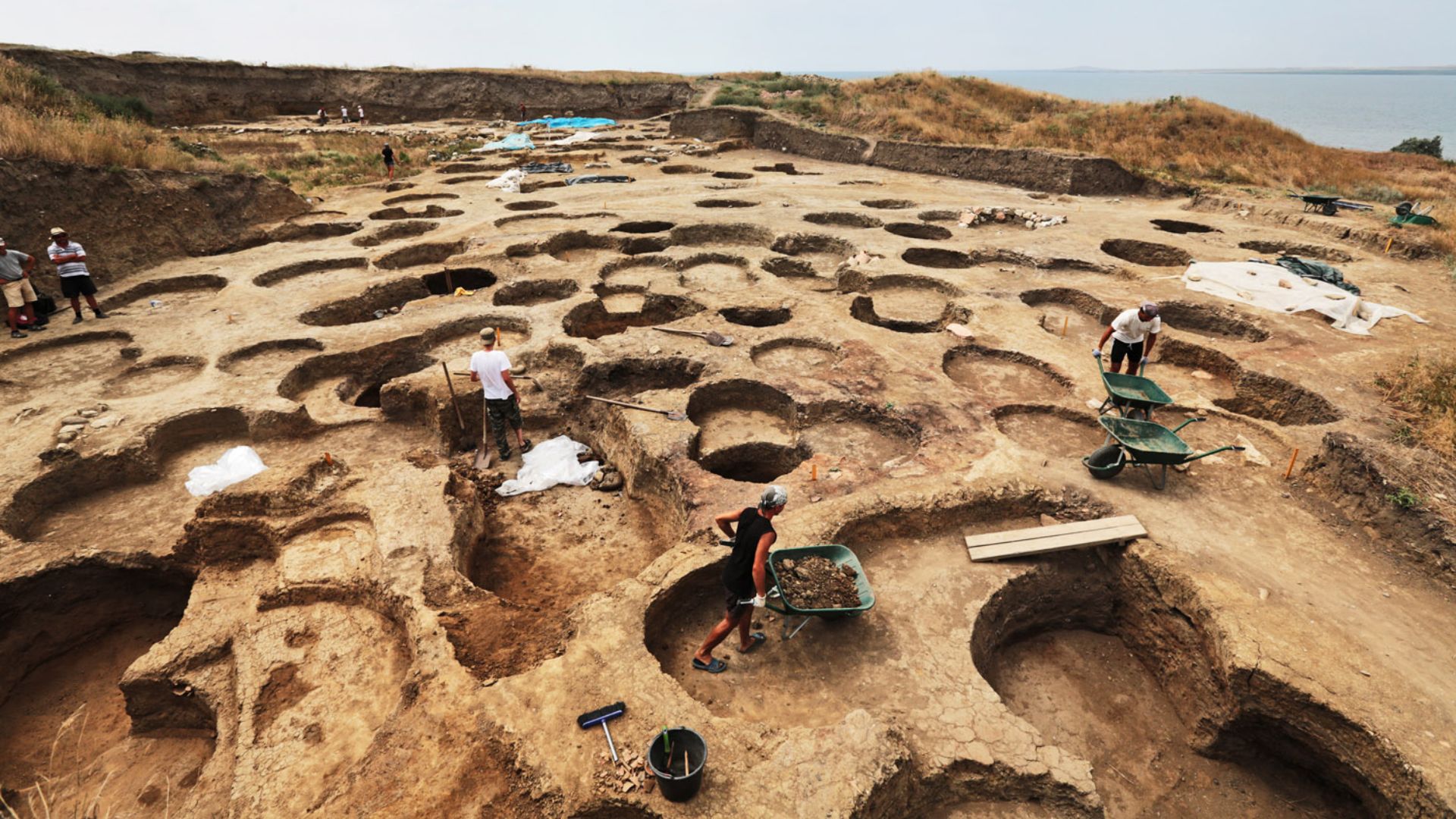
Recent publications synthesize decades of surveys and dives: this was a fortified harbor settlement with strong walls, towers, and warehouses—a node in Bosporan Kingdom sea-lanes, not a minor village. That maritime footprint re-scales northern Black Sea connectivity.
First Clues In The Sand
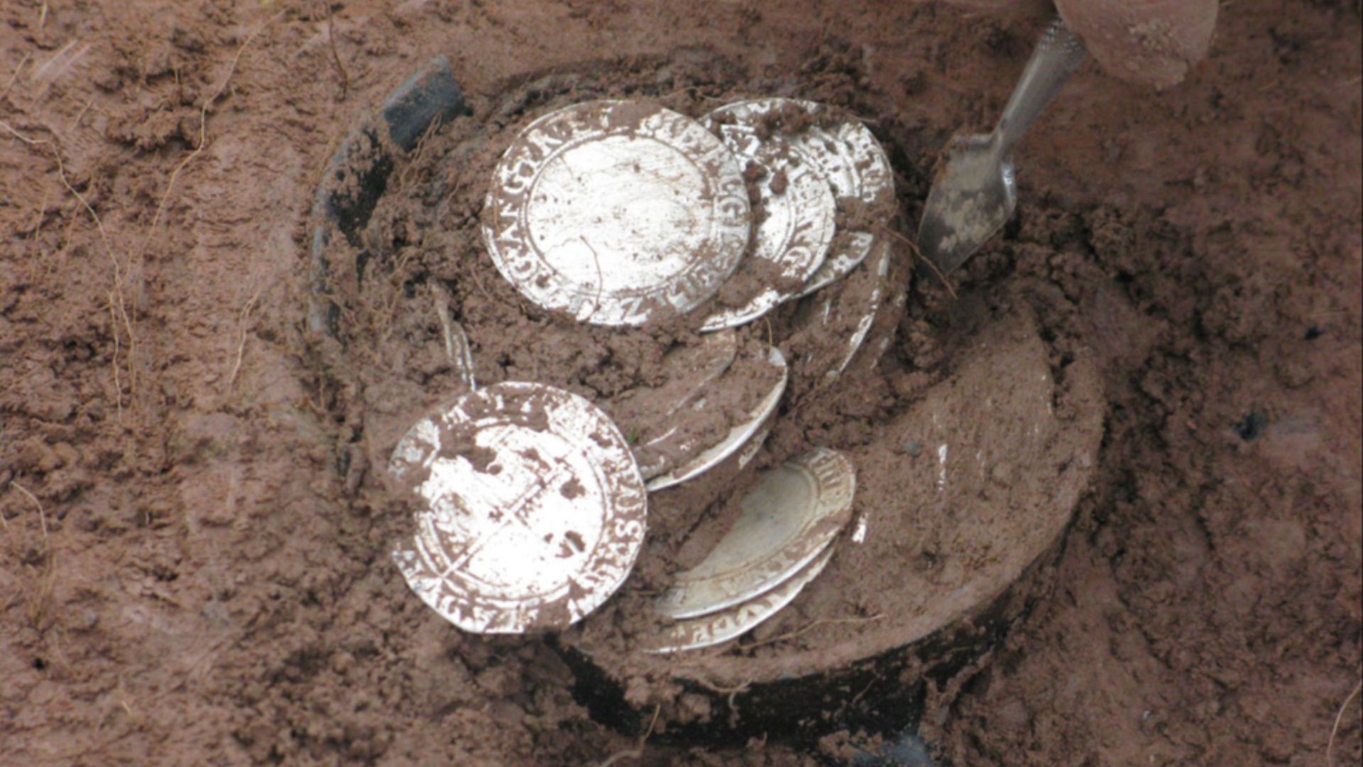
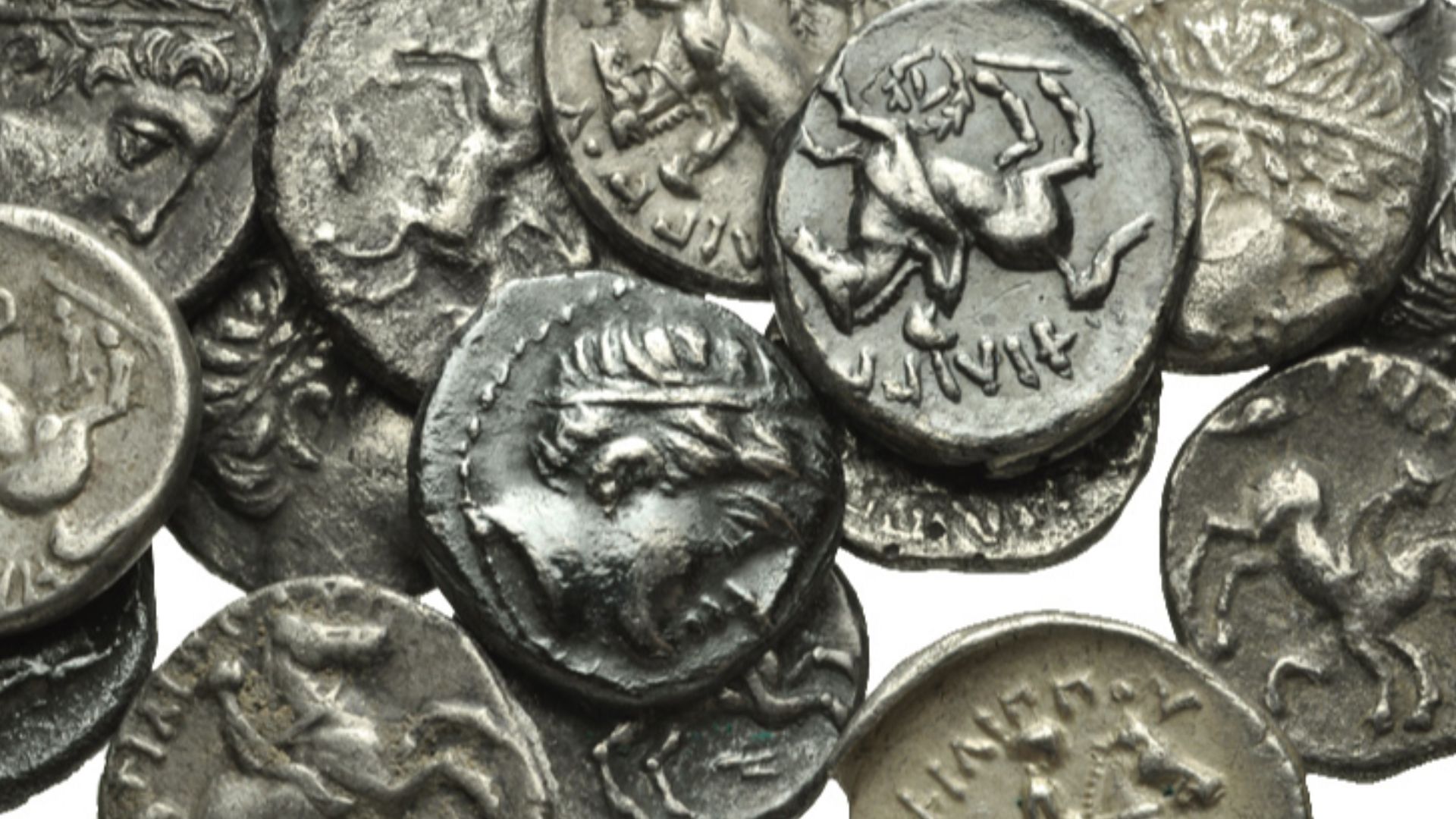
Akra’s rediscovery story is cinematic: a local teen reportedly found a cache of coins on the beach in the early 1980s, sparking targeted underwater work and a long-running research program.
 Birmingham Museums Trust, Peter Reavill, 2012-06-28 16:36:00, Wikimedia Commons
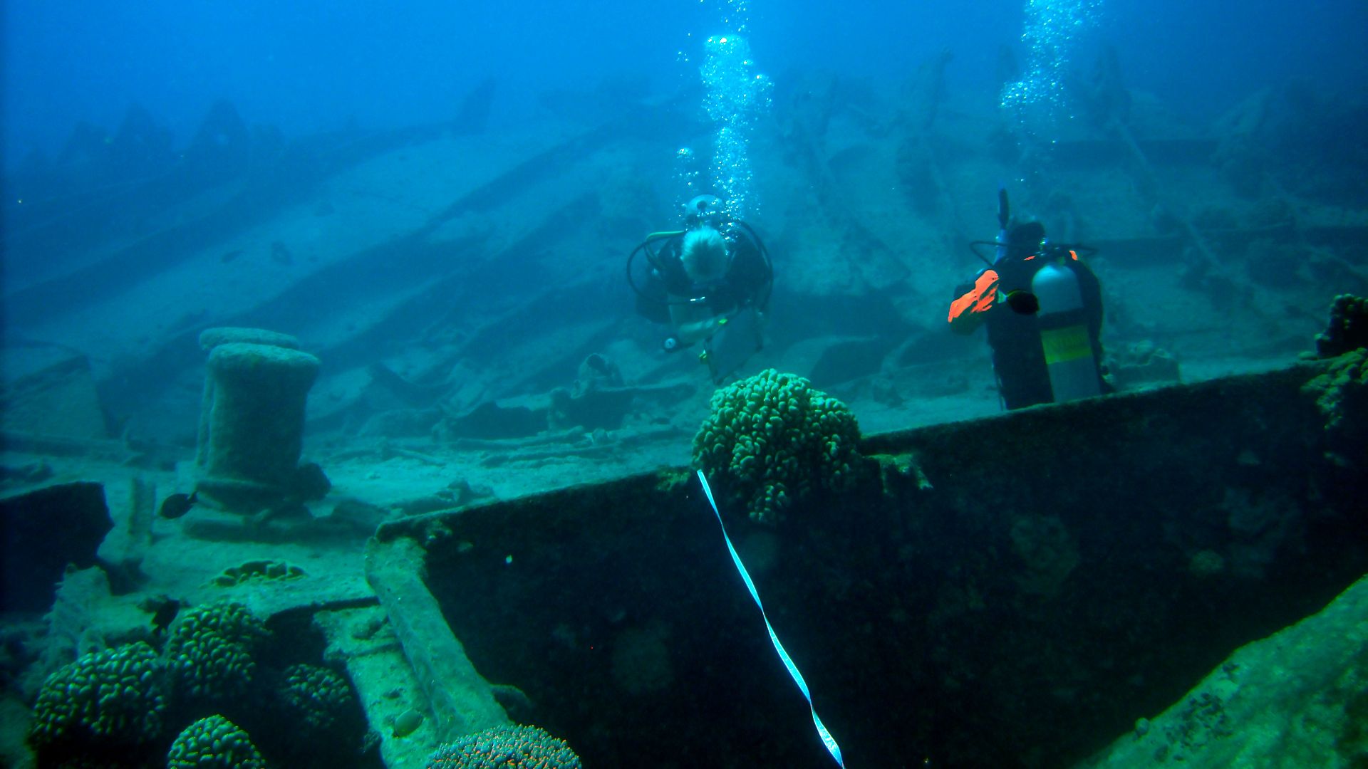
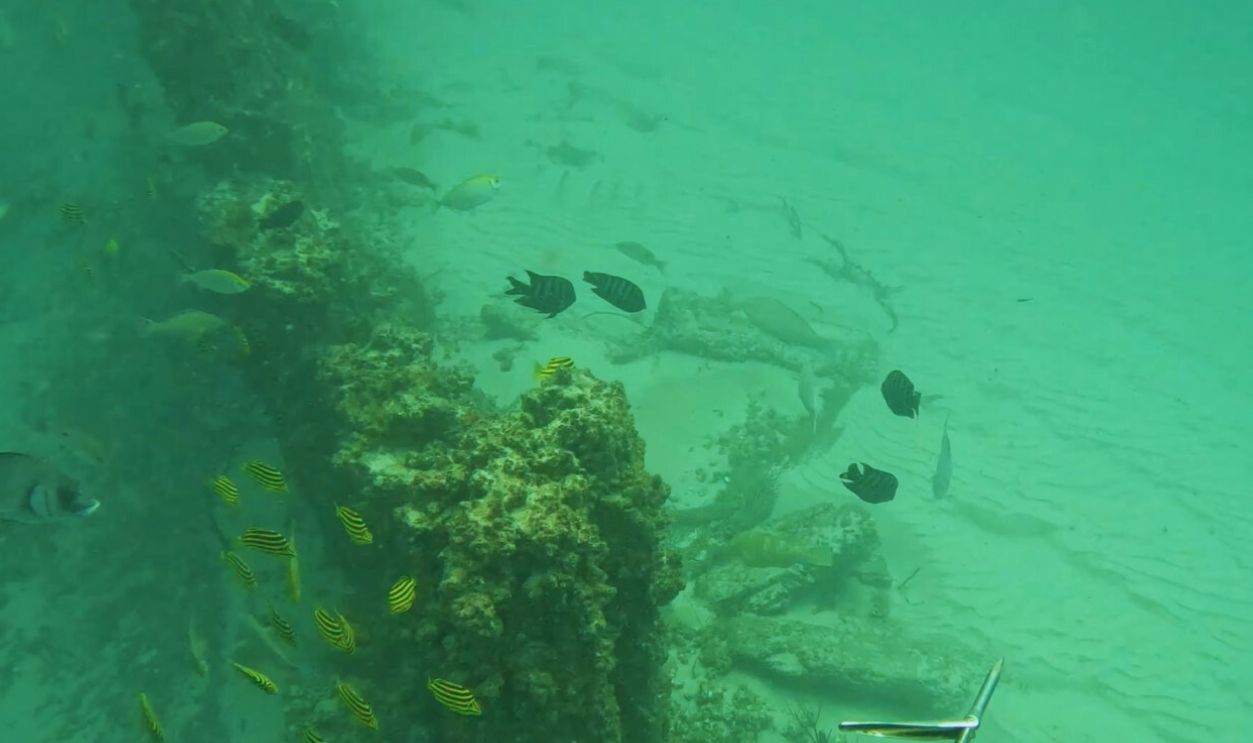
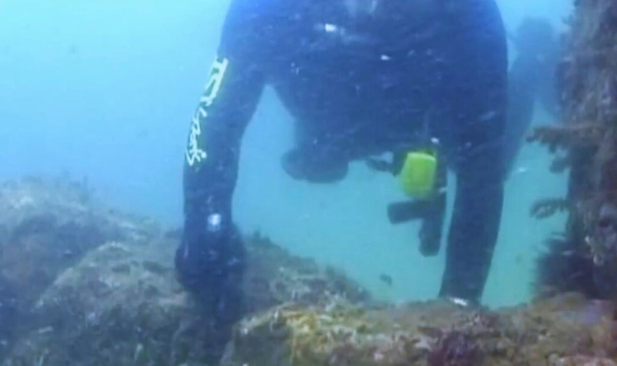
A Fortified Seafront
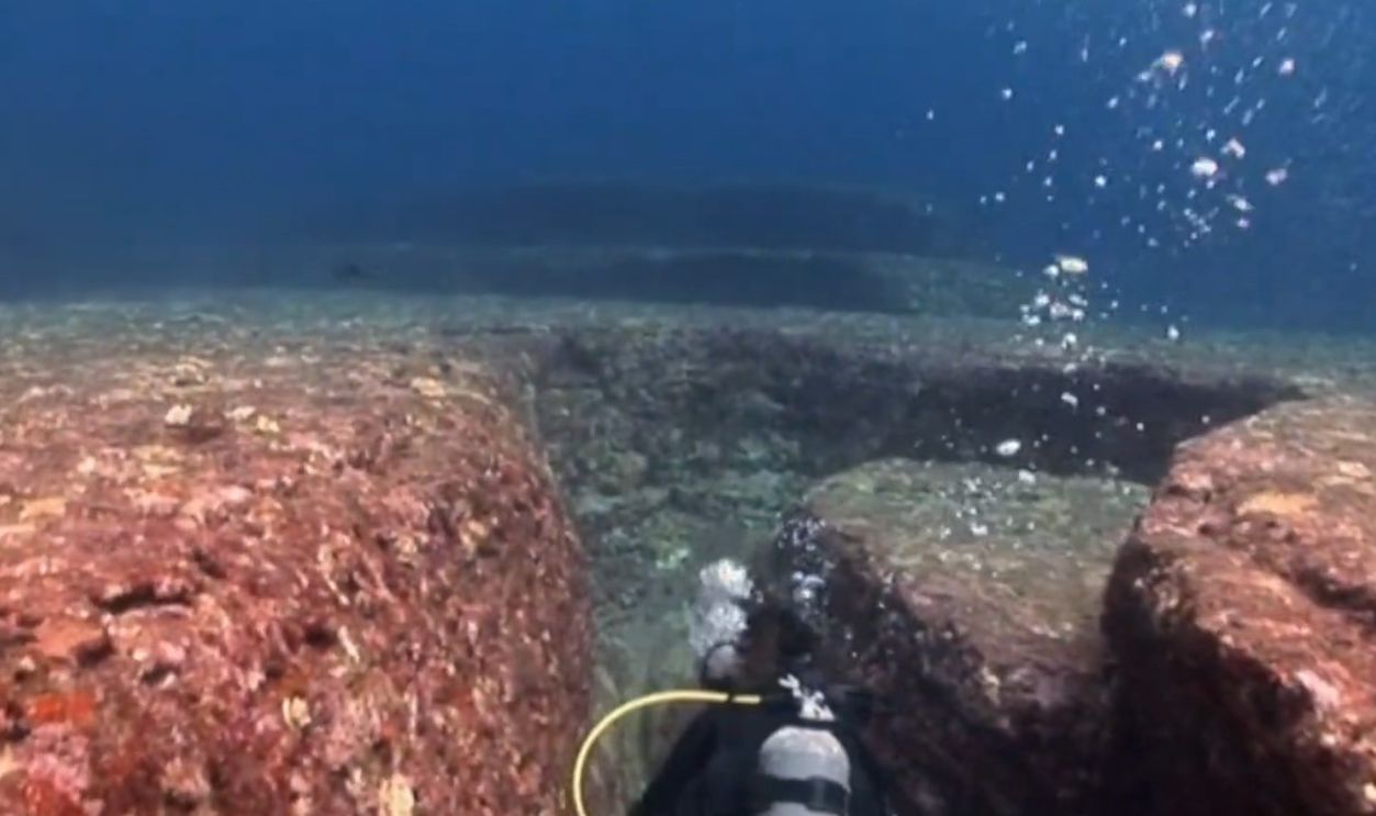
Divers mapped stretches of curtain wall and towers along the drowned edge. Coastal fortifications point to a community defending a harbor and customs zone—a sign of valuable maritime traffic.
 WHAT HAVE WE FOUND? 😱 UNBELIEVABLE UNDERWATER GREAT WALL OF CHINA!!!, Outer Line
Coins, Amphorae, And Daily Life
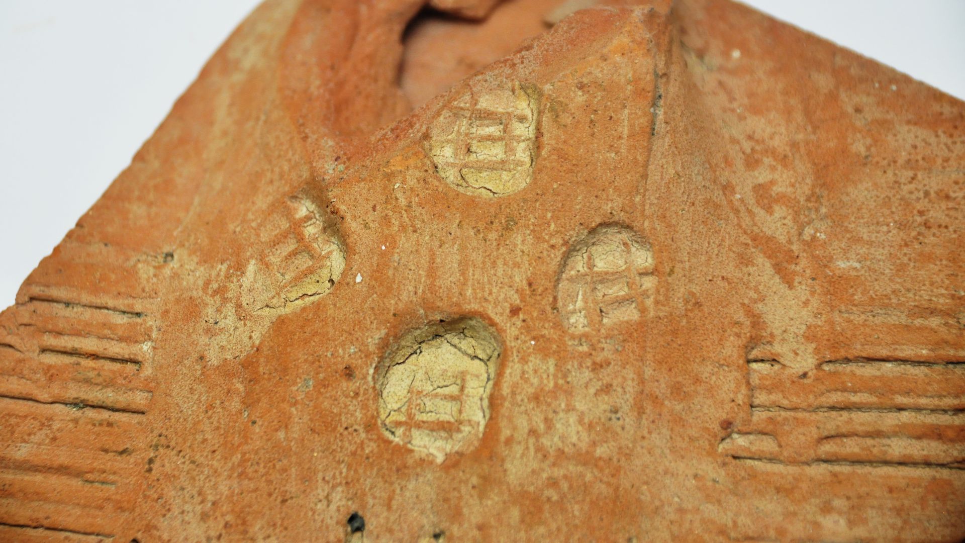
Assemblages include coins, ceramics, terracottas, and personal items. The mixture of imports and local wares hints at constant ship-borne exchange linking Greek cities with steppe hinterlands.
Reading The Bosporan Sea-Lanes
Akra belonged to the Bosporan Kingdom’s maritime system, which balanced east–west flows across the Cimmerian Bosporus. That network gave small ports outsized leverage in regional politics and trade.
Layers The Surf Couldn’t Destroy
While later Roman and Hellenistic levels suffered wave damage on exposed margins, submerged zones retained earlier Classical deposits—an ironic preservation gift of the sea.
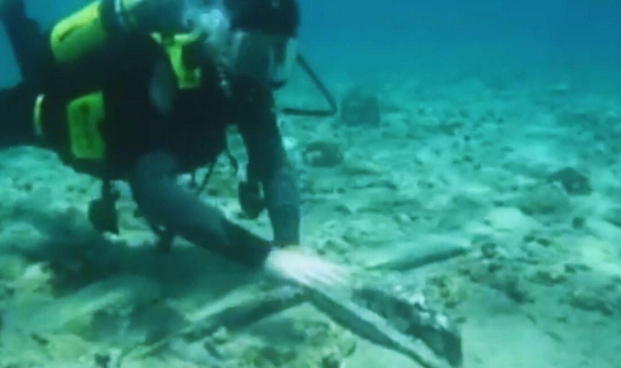
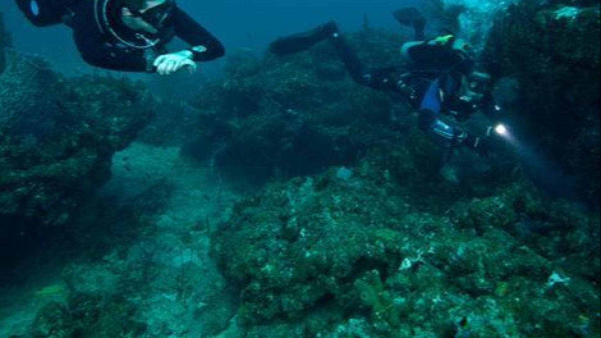
Scholars On The Seafloor
Teams from the State Hermitage and Russian Academy of Sciences documented buildings, streets, and harbor structures through multiyear underwater campaigns, producing plans and technical reports.
 Top 10 Ancient Sunken Cities Discovered in the Deep Sea, WatchMojo.com
An Inscribed Whisper From The Deep
Recent reporting describes a fragmentary Greek decree recovered near Akra—another thread tying the site to civic life and interstate relations across the Black Sea. Inscriptions like this anchor local finds in wider political worlds.
 Top 10 Ancient Sunken Cities Discovered in the Deep Sea, WatchMojo.com
A Maritime Story, Not A Marginal One
Akra’s scale and infrastructure make it a maritime town first and foremost—its livelihood and security premised on ships, not fields. That identity recalibrates how we model “peripheral” Greek colonies.
 Top 10 Ancient Sunken Cities Discovered in the Deep Sea, WatchMojo.com
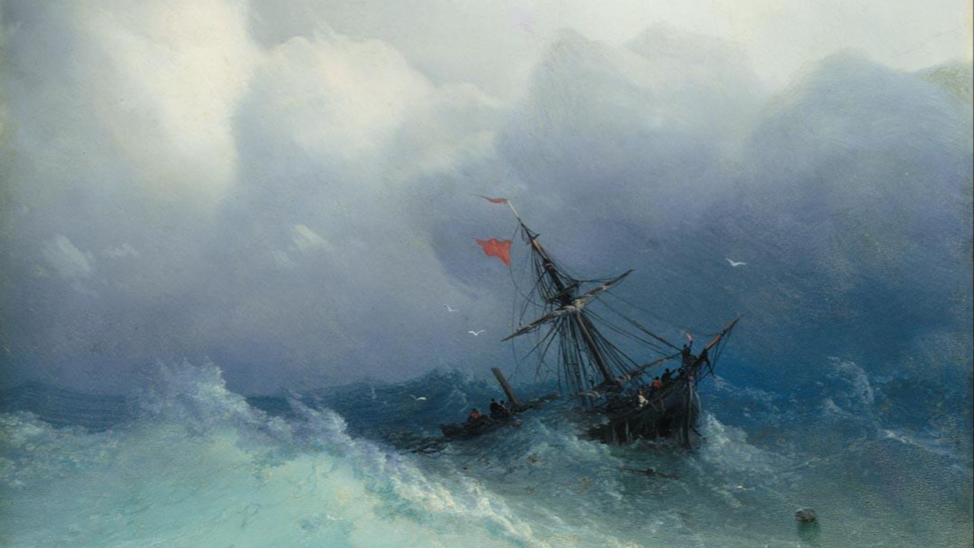
Currents, Winds, And Crossroads
Crimea’s position at the junction of currents and winds made it a hub for ship traffic (and shipwrecks), creating a dense underwater archive that researchers argue remains underexplored. Akra is a keystone within that archive.
 Ivan Aivazovsky, Wikimedia Commons
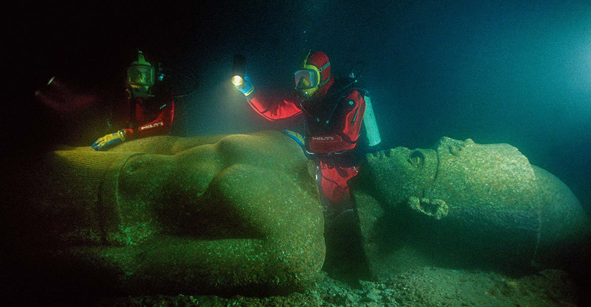
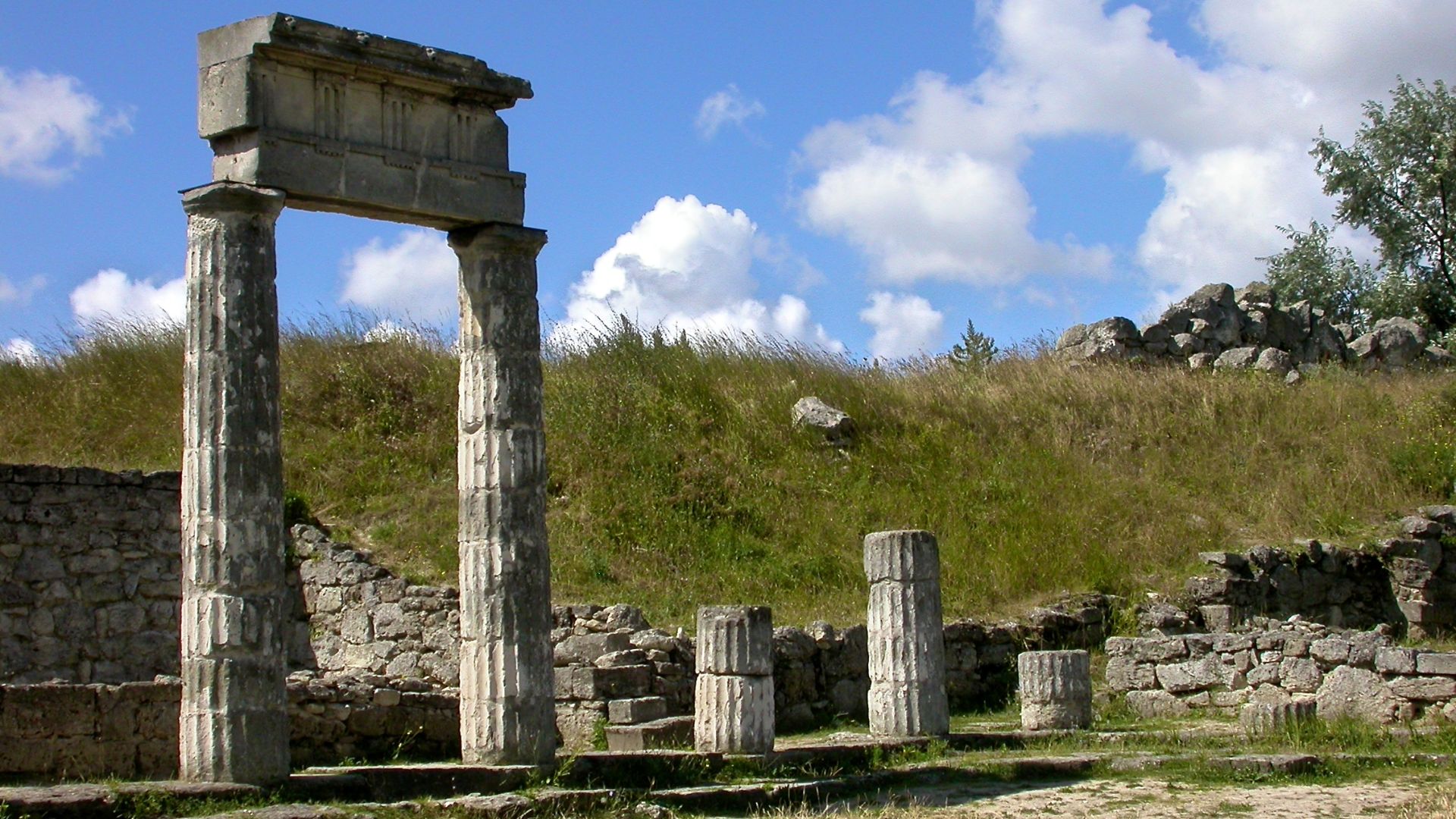
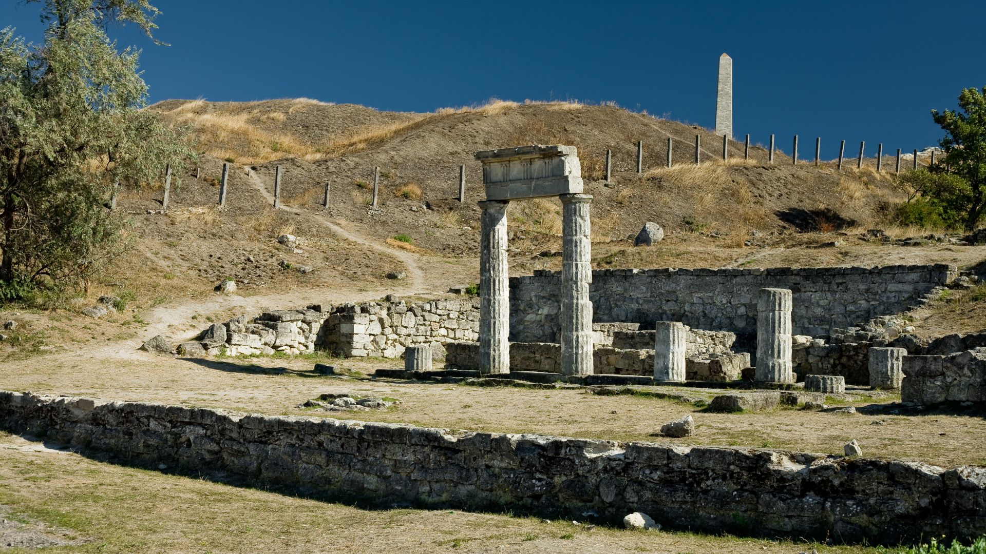
The Bosporan Twin Capitals Context
Akra flourished in the orbit of heavyweights like Panticapaeum and Phanagoria—the latter partly submerged too—showing a tiered urban system of ports and anchorages knitting seas and steppes.
 Derevyagin Igor, Wikimedia Commons
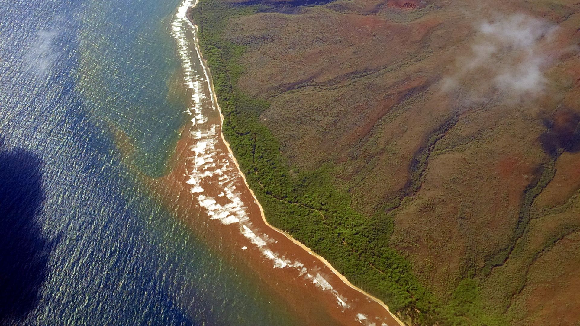
A Coastline On The Move
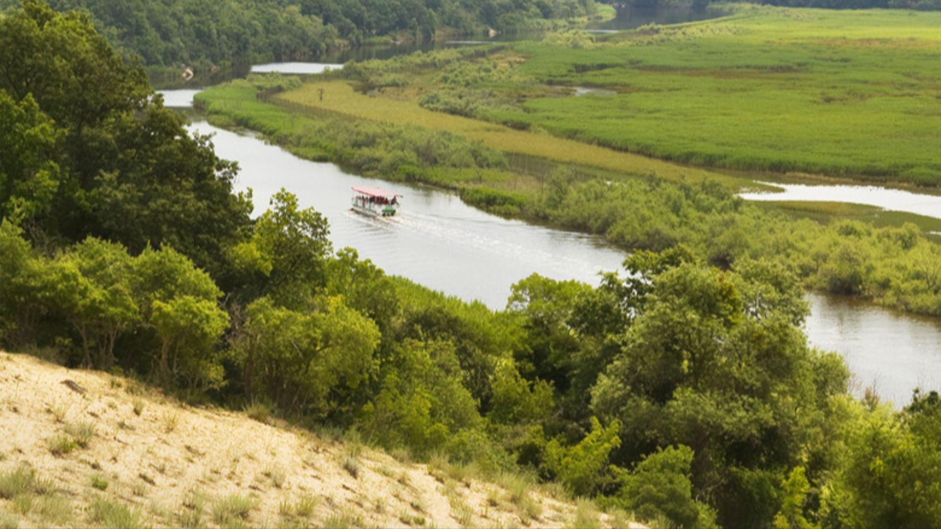
Sea-level change in the Black Sea has repeatedly redrawn shorelines. Submerged settlements elsewhere in the basin (e.g., Bulgaria’s Ropotamo mouth) remind us that coastal archaeology is now also underwater archaeology.
 Original uploader was Evgord at bg.wikipedia, Wikimedia Commons
Lessons From Other Drowned Landscapes
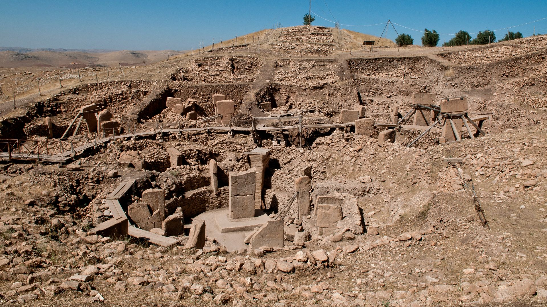
Europe’s underwater discoveries—like the 10,000-year-old “Blinkerwall” in the Baltic—prove that major prehistoric and historic features can hide in plain sight offshore, transforming narratives once we look beneath the waves.
 Mesolithic Megastructure Found Submerged In The Baltic Sea!, History with Kayleigh
A Northern Network, Not A Frontier
Finds at Phanagoria (including a synagogue and Jewish quarter on the Taman Peninsula) illustrate the northern Black Sea’s cultural diversity, anchored by seaborne trade routes in which Akra surely participated.
 Maria Plotnikova, Wikimedia Commons
Harbors As Time Machines
Harbor towns fossilize flows: amphora stamps, cargo residues, and customs inscriptions become proxies for vanished shipping ledgers. At Akra, such proxies point to steady interregional exchange.
 Oleksander Zakletskiy, Wikimedia Commons
Architecture Built For The Tide
Underwater plans reveal well-laid masonry adapted to a low-lying promontory—good for access, risky for transgression. That coastal pragmatism captures the bargain every ancient port struck with the sea.
 Laurent Virzi, Wikimedia Commons
A Research Pipeline, Decades Deep
From early localization attempts to 2011–2013 dive seasons and new 2024 analyses, Akra’s bibliography shows iterative science—each map, trench, and artifact catalogue tightening the picture.
 Sandra Edwards; Dan Volker, Wikimedia Commons
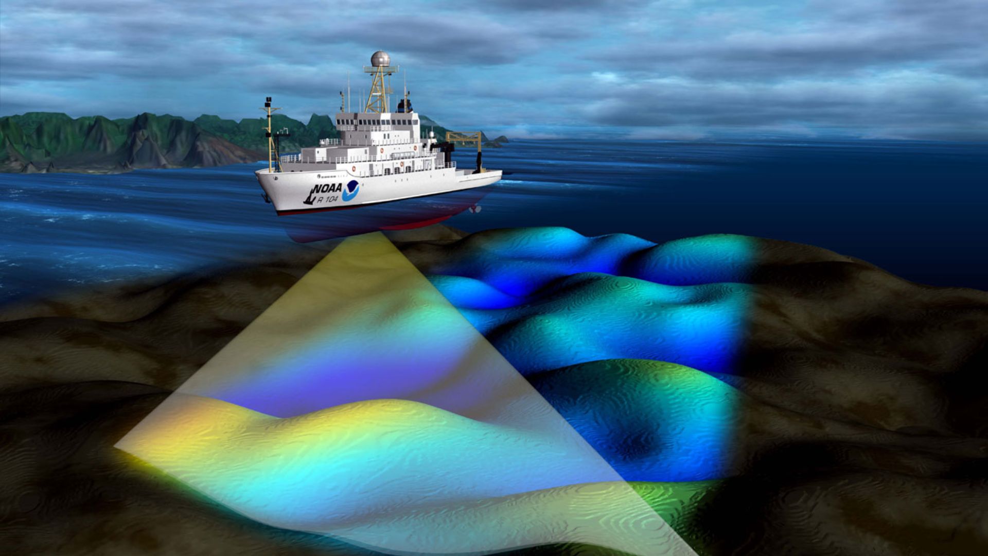
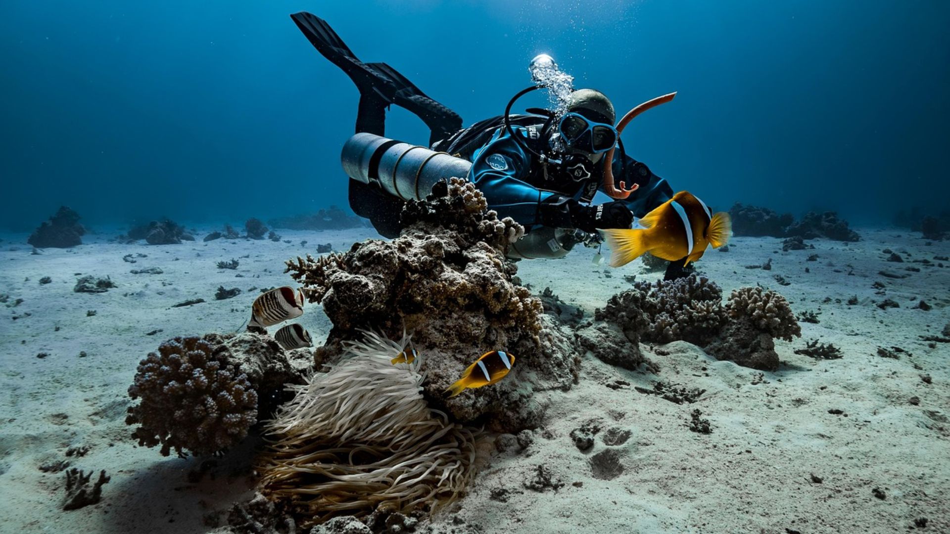
Technology Extends Our Sightlines
Multibeam sonar, photogrammetry, and ROVs enable fine-grained mapping. As underwater toolkits improve (and costs fall), sites like Akra shift from tantalizing hints to evidence-rich laboratories.
 NOAA's National Ocean Service, Wikimedia Commons
The Human Geography Of A Harbor
Akra bridged steppe producers, coastal traders, and Caucasian routes. Its wharves and warehouses hint at commodities—grain, fish products, timber, metals—circulating through a multicentric sea.
 Internet Archive Book Images, Wikimedia Commons
A City Of Law As Well As Trade
If confirmed and fully published, inscribed decrees from the seabed would underscore that these were literate, deliberative communities where harbors were also civic stages.
 Asaf Peretz, Wikimedia Commons
Ports, People, And Pluralism
The northern Black Sea wasn’t a cultural backwater. Evidence from nearby Phanagoria—such as religious architecture and neighborhoods—suggests enduring pluralism made possible by constant maritime contact.
Preservation By Submergence
Ironically, submergence saved early layers from looters and surf. Akra’s underwater strata preserve contexts lost on eroding headlands—one reason submerged archaeology can outpace land sites for certain questions.
 Top 10 Ancient Sunken Cities Discovered in the Deep Sea, WatchMojo.com
A Wider Circle Of Comparanda
From Denmark’s newly reported Mesolithic site to Germany’s submerged megastructure, Europe’s drowned coasts keep delivering paradigm shifts. Akra belongs in that conversation, extending it into Classical seafaring.
 Teomancimit, Wikimedia Commons
The Bosporan Kingdom’s Maritime Engine
Textbook maps often privilege inland capitals; Akra urges us to think like sailors. The Bosporan economy was a chain of harbors and anchorages, each small node essential to the whole.
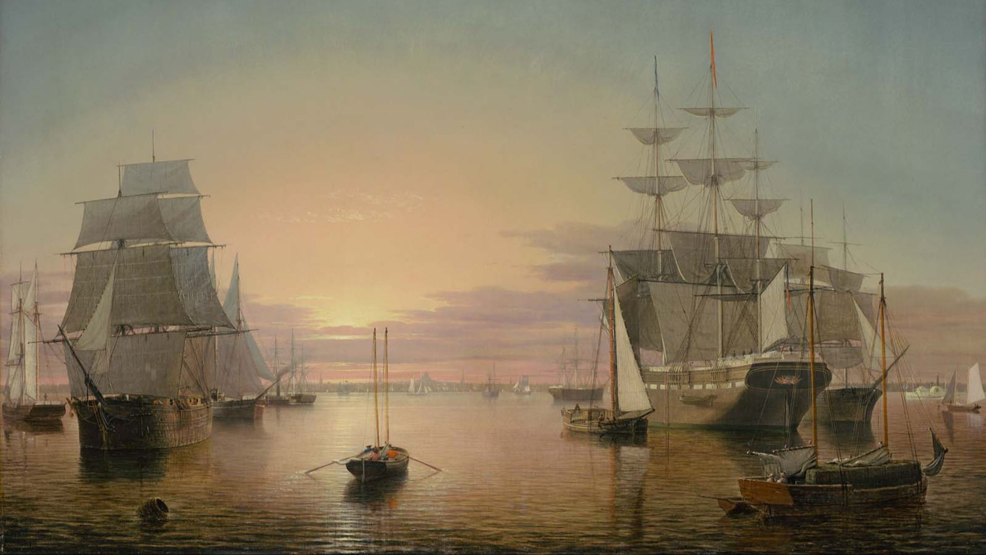 Fitz Henry Lane, Wikimedia Commons
Climate, Risk, And Ancient Adaptation
Coastal peoples long navigated shoreline change. Tracking how Akra’s inhabitants built, rebuilt, or retreated informs today’s conversations about resilience amid rising seas.
 incidencematrix, Wikimedia Commons
Toward An Underwater Park?
Researchers have floated ideas for protected “underwater museums,” turning sites like Akra into controlled dive parks that safeguard contexts while sharing them with the public.
The Next Big Questions
What did Akra export at scale? How did it regulate harbor traffic? Are there shipwrecks just offshore that preserve cargo signatures? The answers would further quantify the site’s role in regional exchange.
 Christiaan Kannemans (1812-1884), Wikimedia Commons
Rewriting The Map Of Connectivity
Akra forces us to redraw lines on our mental map—from sparse coastal dots to a dense mesh of sea roads. The northern Black Sea emerges as a maritime heartland, not a peripheral rim.
 Jeff Schmaltz, MODIS Rapid Response Team, NASA/GSFC, Wikimedia Commons
What A Single Harbor Can Change
One well-preserved port recalibrates models for colonization, trade, and cultural exchange. Akra shows how submerged archaeology can flip assumptions that were built on incomplete shorelines.
 Dwi sumaiyyah makmur, Wikimedia Commons
How This Changes Our Understanding Of Our Sea-Faring Ancestors
For decades, we told the story of the ancient Black Sea as if much of its coast had stood still and as if “peripheral” colonies eked out coastal livings without shaping the wider world. Akra’s reemergence—brick by brick, amphora by amphora, inscription by inscription—complicates that picture. It reveals a harbor society with strong walls, steady shipping, and civic life bound to the sea. Paired with the flood of new research from Europe’s other drowned coastlines, the case of Akra suggests we’ve been looking at the northern Black Sea through a keyhole.