
Port Talbot's Treasure
"My eyes nearly popped out of my skull,” said one researcher. Ground-penetrating radar has revealed a huge archaeological site in Wales that lay hidden for millennia under just a few feet of soil. What began as a routine survey in Port Talbot revealed a large villa that has made historians rethink how Romans actually lived in this corner of Britain.
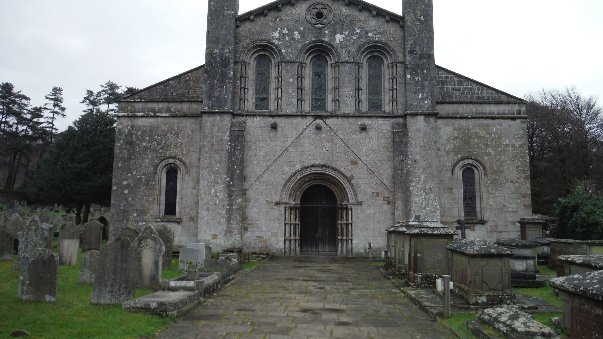
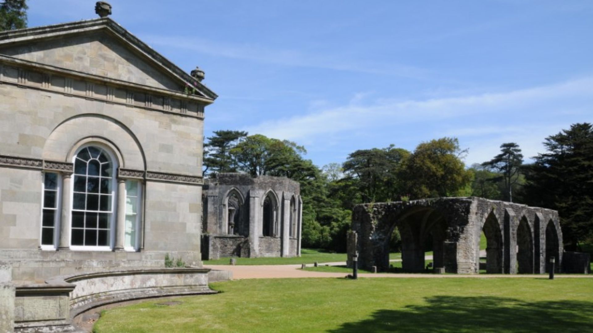
 The Chapter House, Margam Abbey by Philip Halling, CC BY-SA 2.0, Wikimedia Commons, Modified
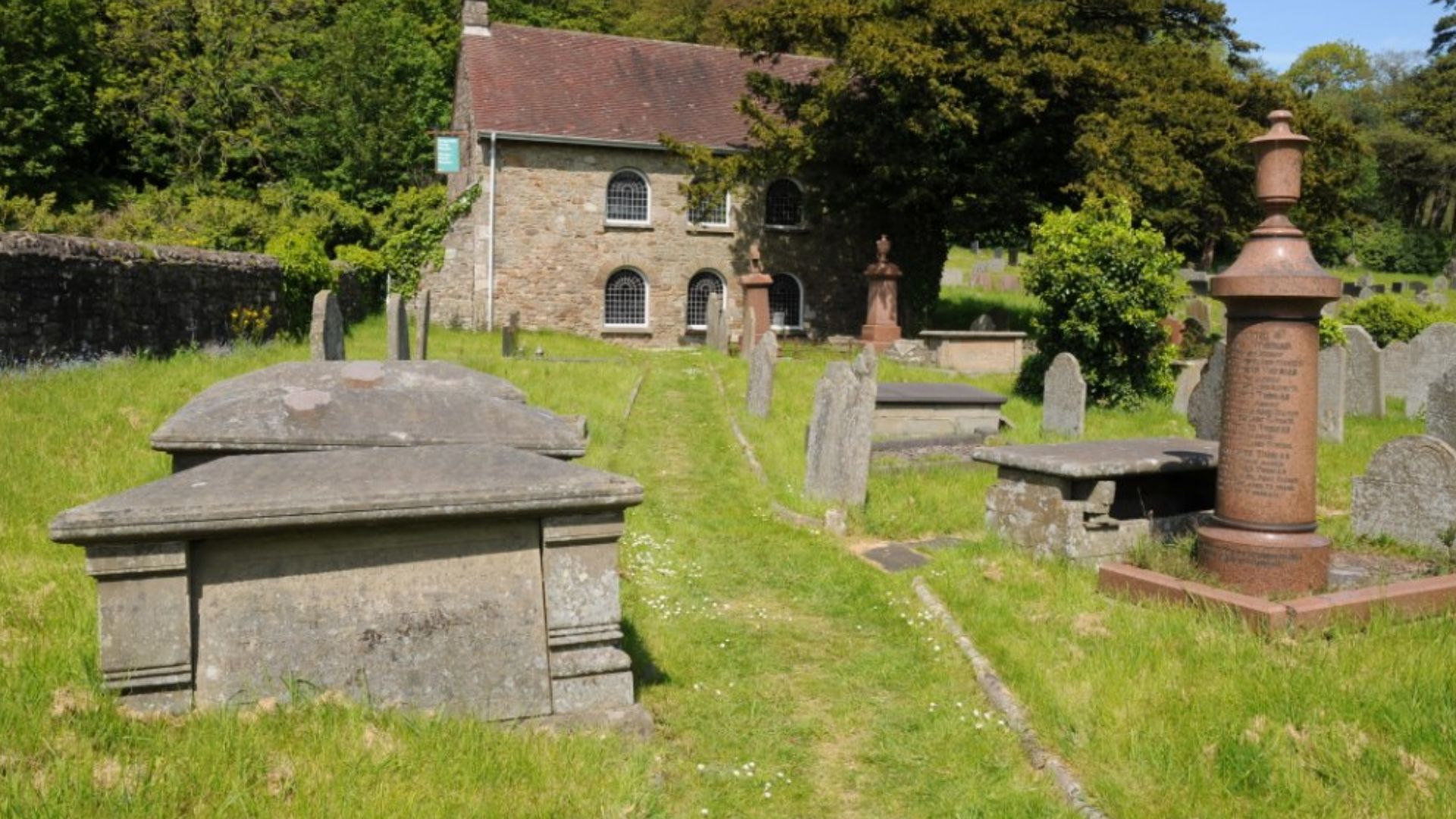
Margam's Rich Past
Long before Roman sandals touched Welsh soil, Margam was already ancient. This slice of South Wales near Port Talbot has witnessed human activity for millennia, serving as a continuous hub of civilization that refused to fade into obscurity. The landscape here tells stories through layers.
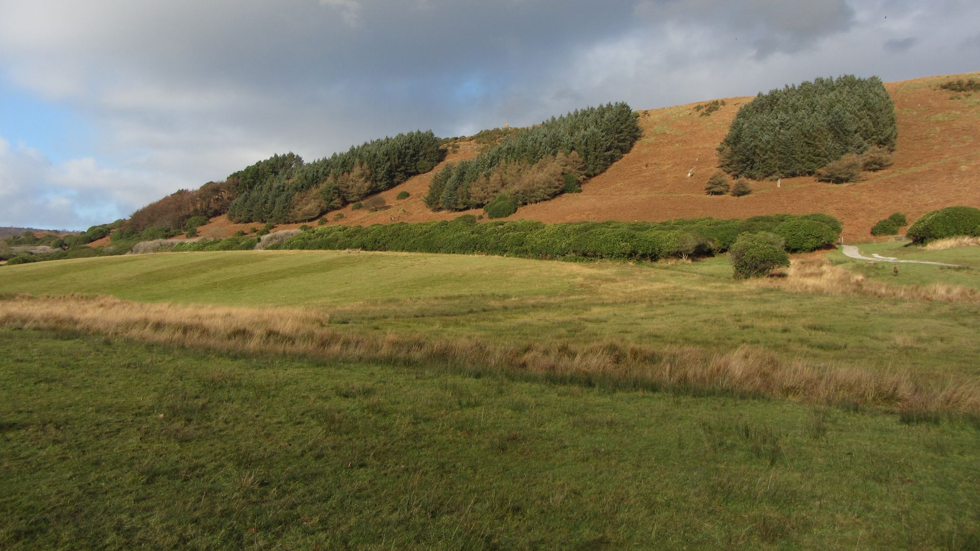
 Jonathan Billinger, Wikimedia Commons
Bronze Age Beginnings
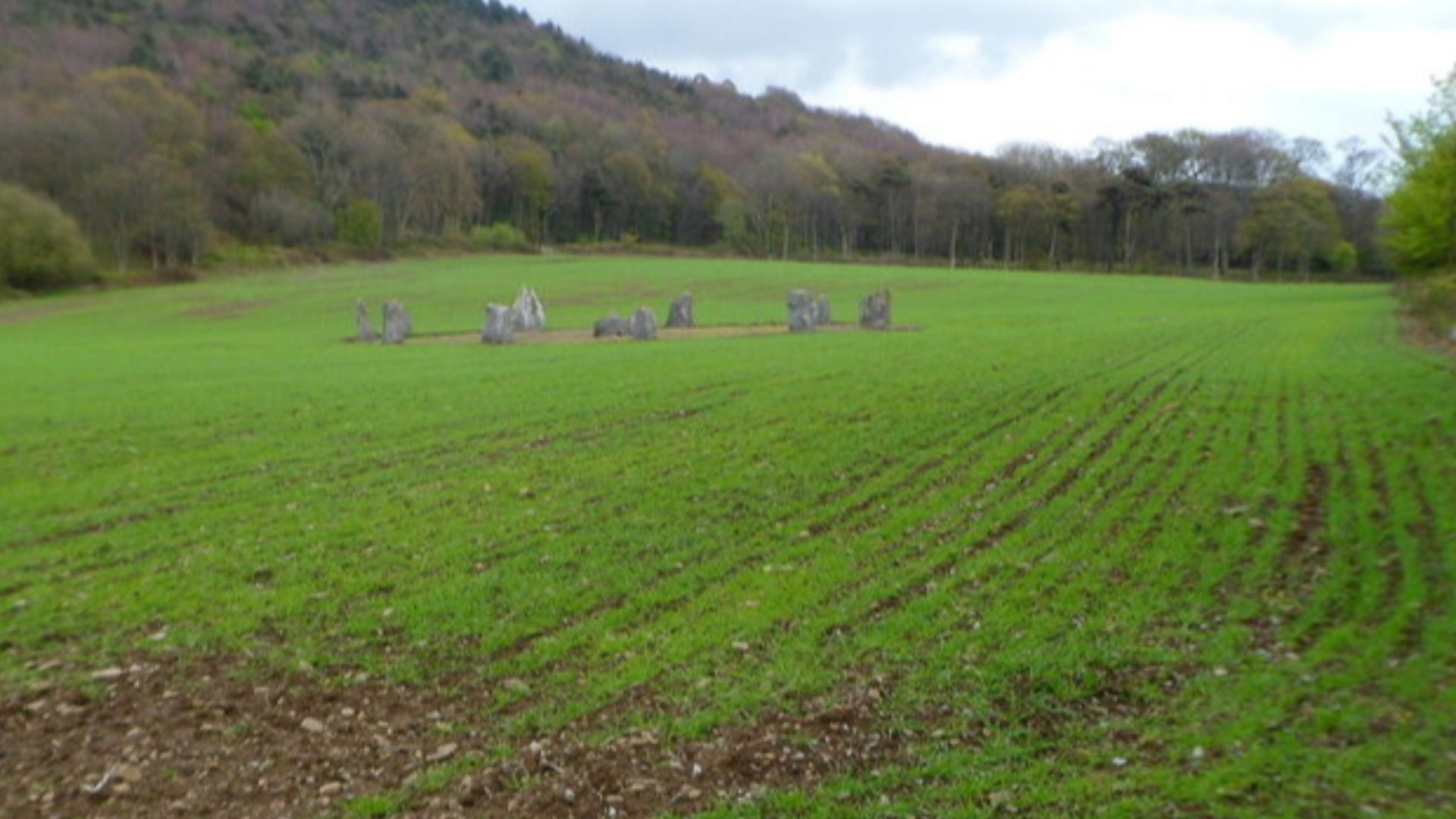
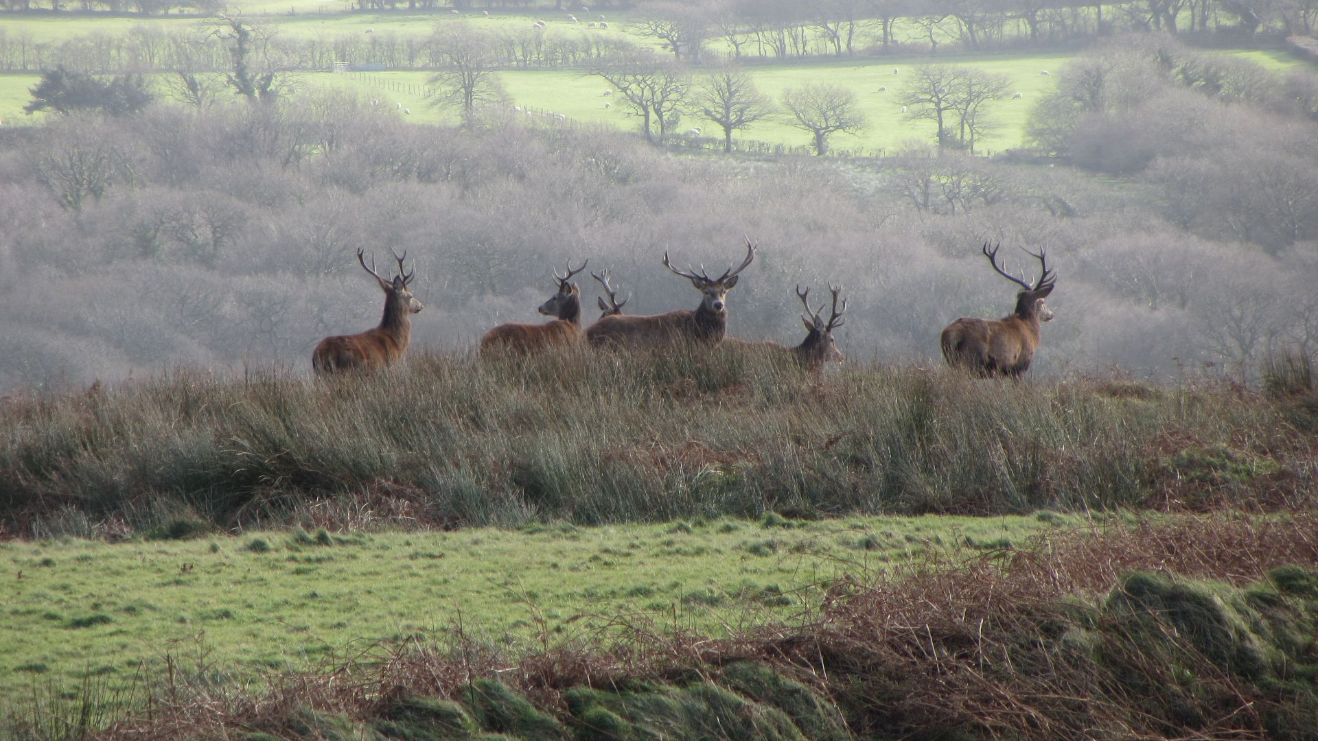
Massive burial mounds dot Margam. These ancient earthworks weren't random grave markers but carefully constructed monuments where tribal leaders were laid to rest with ceremony and reverence. The presence of these barrows indicates Margam held spiritual significance long before Christianity arrived.
 Basher Eyre , Wikimedia Commons
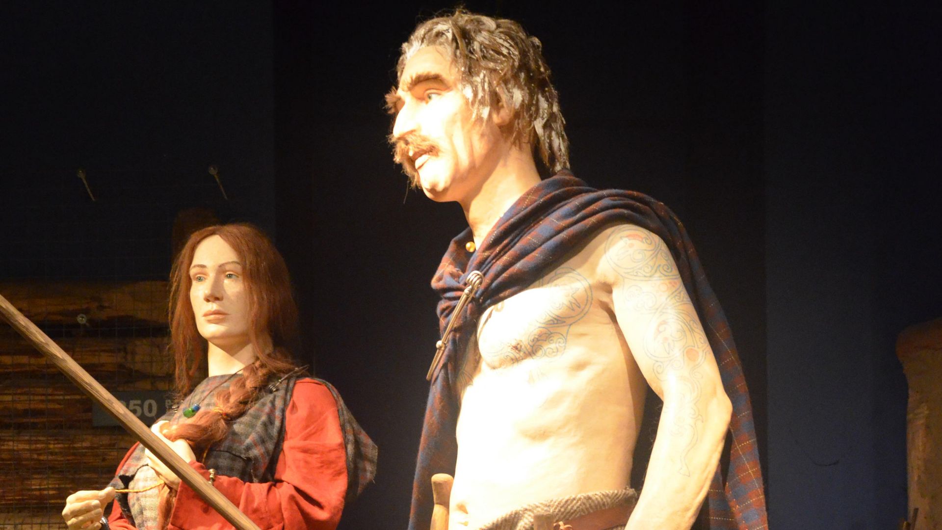
Iron Age Settlements
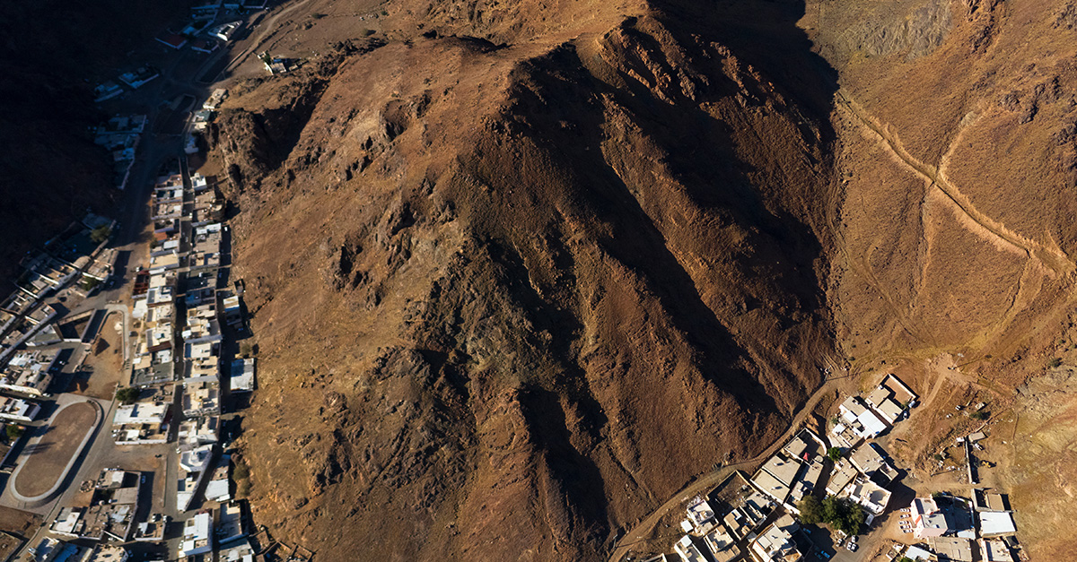
Mynydd y Castell's wooded slopes hide the defensive ramparts of an Iron Age hillfort, a strategic stronghold where Celtic tribes watched for threats across the valleys below. Built roughly between 800 BCE and the Roman invasion, these hillforts served dual purposes as defensive positions and status symbols for powerful chieftains.
 Dr John Wells, Wikimedia Commons
Roman Britain Arrives
Emperor Claudius launched his invasion of Britain in 43 CE, seeking glory, mineral wealth, and expansion of Roman power beyond the known world's edges. The legions smashed through southern England with characteristic efficiency, their disciplined ranks overwhelming tribal warriors who fought bravely but lacked coordinated military strategy.
Military Conquest Era
Wales proved far tougher than southern England, its mountain valleys sheltering fierce Celtic tribes like the Silures, who rejected Roman authority with violent determination. The conquest dragged on for over thirty years, from 47 CE to roughly 79 CE, as legions established forward bases and fought grinding campaigns.
Wales Under Rome
The Romans established three permanent legionary bases across Britain. These created a military infrastructure designed for long-term occupation. Caerleon, known as Isca Augusta, became the headquarters of the Second Legion and one of Europe's most impressive Roman military complexes.
 Pwimageglow (talk), Wikimedia Commons
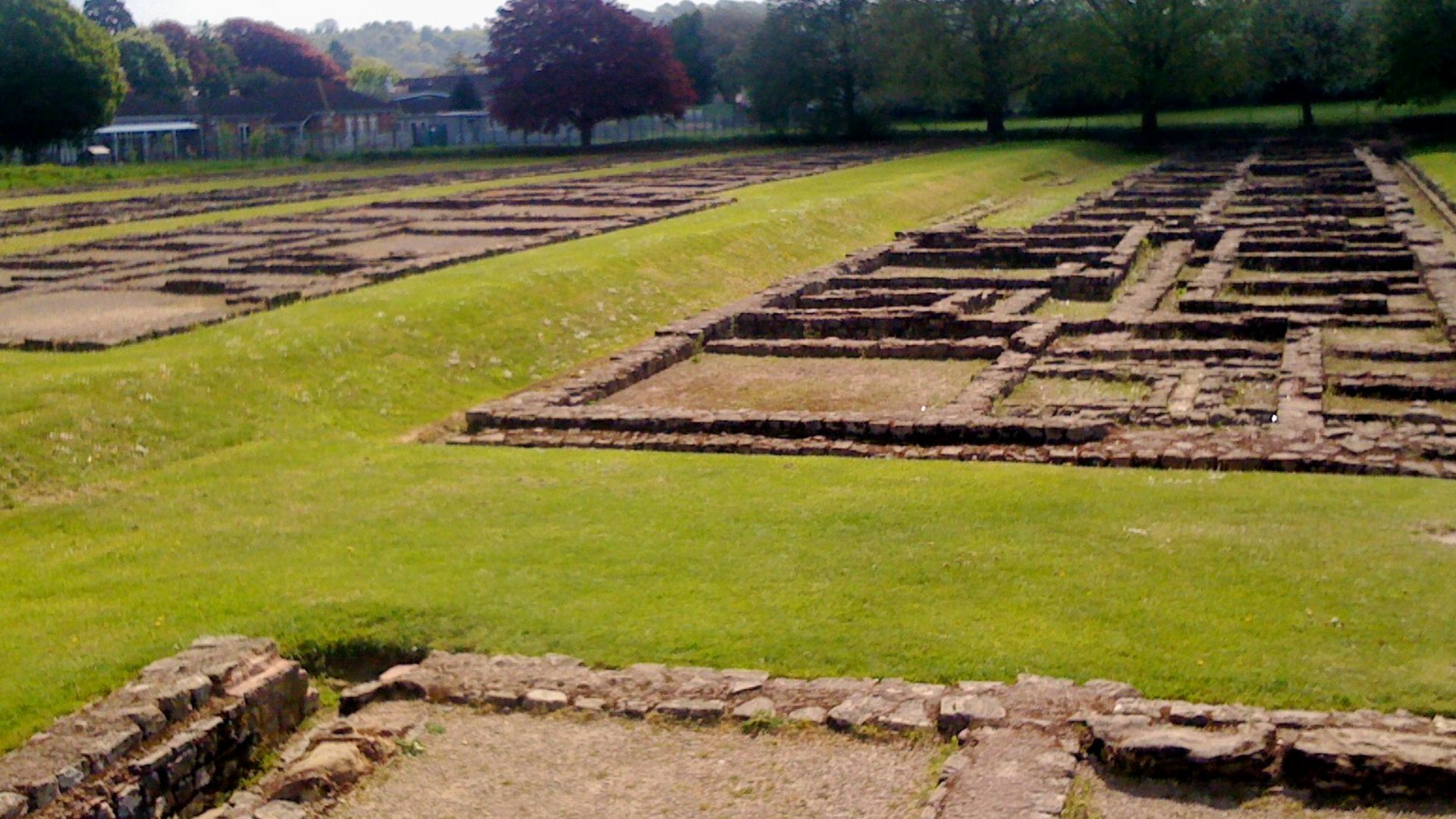
Missing Romano-British Evidence
Despite Roman occupation lasting nearly four centuries until the early 400s CE, Margam presented archaeologists with a frustrating historical gap regarding civilian Romano-British life. Most discovered Roman remains in Wales were military installations such as fortresses, barracks, and supply depots, leaving questions about how local populations adapted to Roman rule.
 Philip Halling , Wikimedia Commons
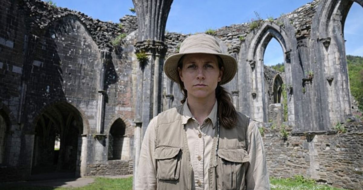
ArchaeoMargam Project Launched
Swansea University's Centre for Heritage Research and Training partnered with Neath Port Talbot Council and Margam Abbey Church to illuminate Margam's pre-industrial heritage. Funded by the UK Government's Shared Prosperity Fund through the council's Heritage, Culture, Tourism, and Events program, the project engaged over nine hundred local participants.
 Lewis Clarke , Wikimedia Commons
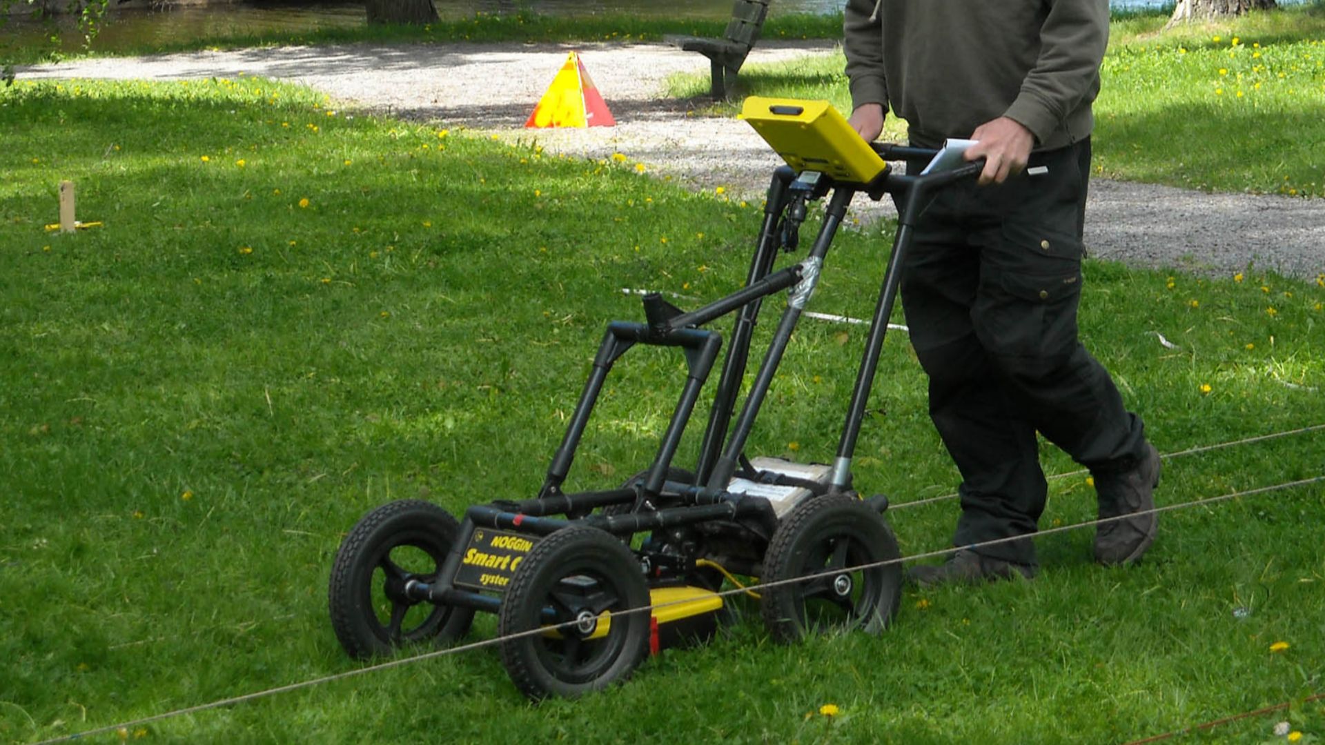
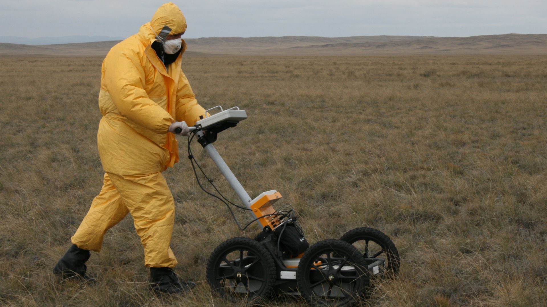
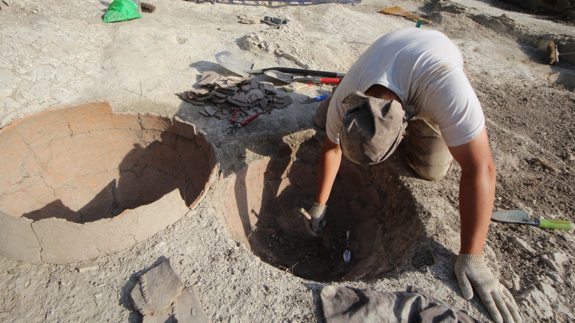
Geophysical Survey Methods
Rather than immediately excavating blindly, the ArchaeoMargam team employed non-invasive survey techniques that reveal underground features without disturbing soil or potentially damaging hidden archaeology. Llandough-based company Terradat conducted surveys across large areas of Margam Country Park using sophisticated scanning equipment.
 Gareth James , Wikimedia Commons
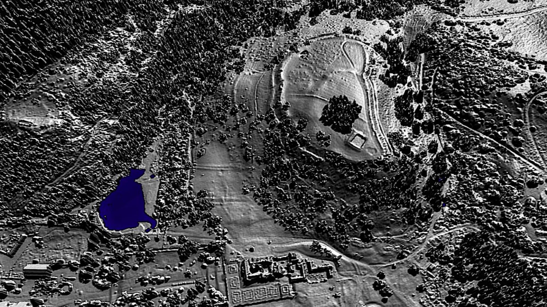
Ground-Penetrating Radar Technology
Terradat deployed both high-resolution magnetometry and ground-penetrating radar (GPR), which sends electromagnetic pulses into the earth and measures how quickly they reflect off buried objects. Christian Bird, Terradat's technical director, later described the survey results as “remarkably clear”.
 The Swedish History Museum, Stockholm from Sweden, Wikimedia Commons
Stunning Discovery Moment
Dr Langlands remembers the instant the survey data revealed what lay beneath Margam's turf with visceral clarity: "My eyes nearly popped out of my skull”. The geophysical scans revealed a structure far exceeding the team's expectations. It was a complete villa complex, with its outline highly visible.
 The Official CTBTO Photostream, Wikimedia Commons
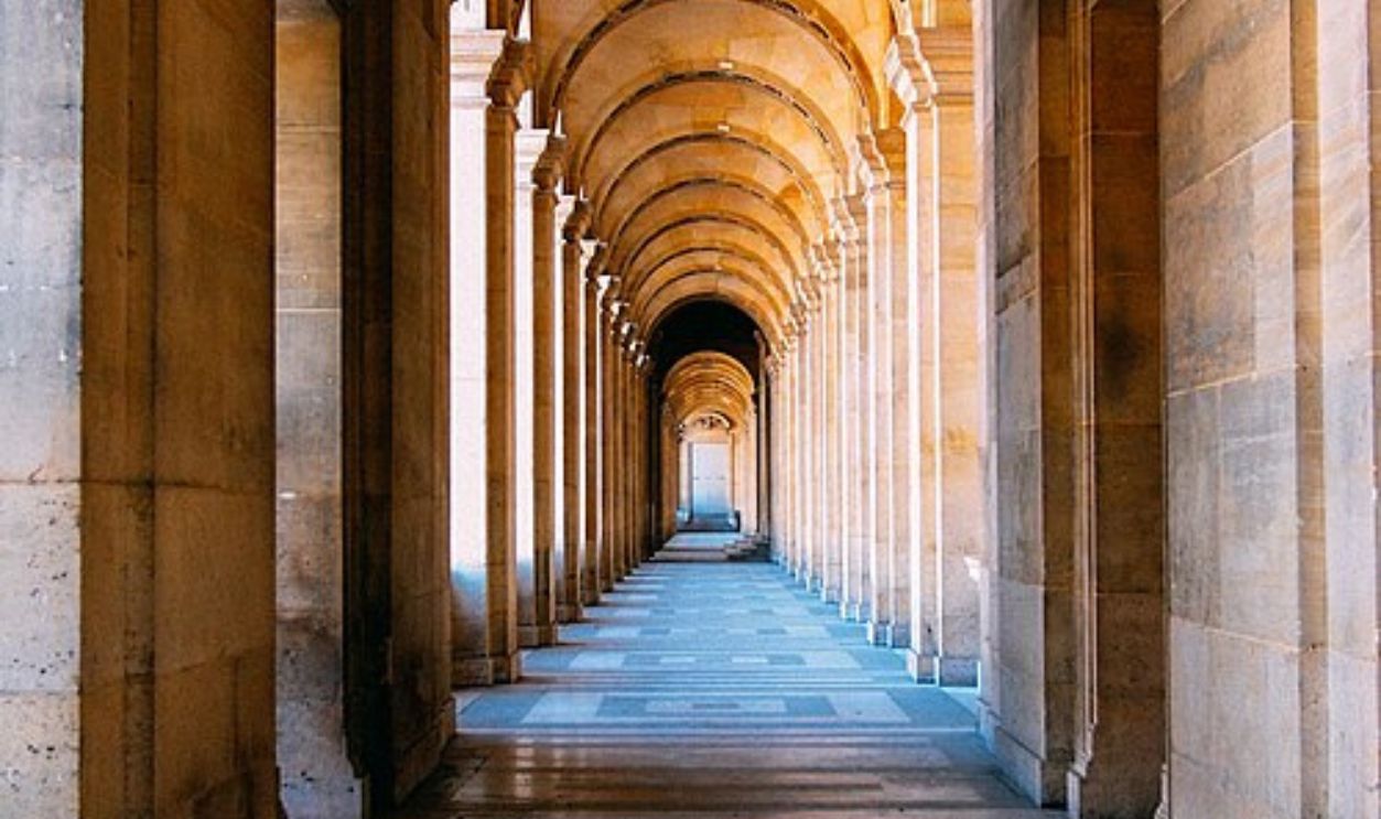
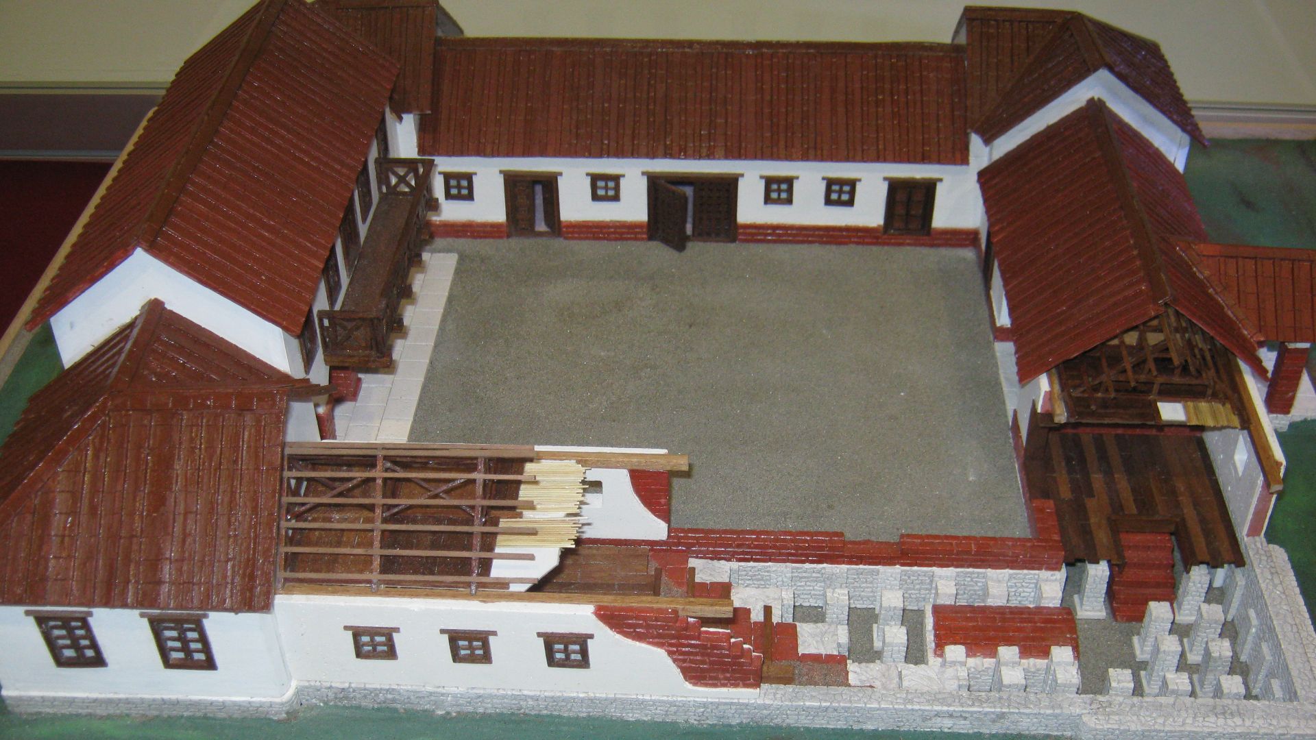
Corridor Villa Structure
It was a corridor-style villa, a distinctly Roman architectural form that announced wealth and sophistication through its very design. Two long hallways run through the building's interior, connecting the front residential areas to service quarters at the rear. This wasn't a simple farmhouse but a statement of power.
 Serge Esteve sce767, CC0, Wikimedia Commons
Fourteen-Room Layout
Six main chambers occupy the villa's front section, likely serving as reception halls, dining rooms, and family quarters where the owner displayed status through architectural grandeur. Behind these public-facing spaces, two corridors provide access to eight additional rooms that probably functioned as service areas, storage facilities, etc.
Defensive Enclosure Features
Surrounding the villa, archaeologists detected ditches forming a defensive boundary measuring roughly forty-three meters by fifty-five meters. These earthworks might represent remnants of an earlier Iron Age settlement that the Romans either incorporated or deliberately echoed, or they could reflect the late Roman period's increasing insecurity surrounding raids.
 N Chadwick , Wikimedia Commons
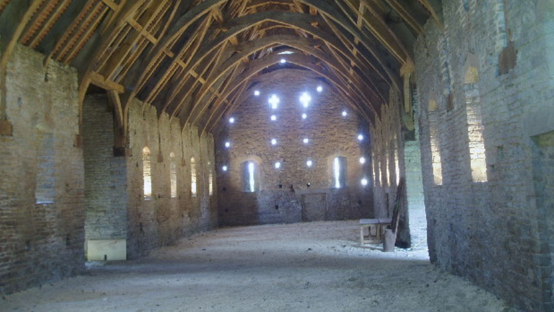
Aisled Building Complex
Southeast of the main villa stands a substantial aisled structure covering 354 square meters, its purpose still debated among the archaeological team examining survey results. Such buildings served agricultural estates as massive barns where grain harvests were stored, livestock sheltered during winter, or equipment was maintained between planting seasons.
 Nigel Freeman, Wikimedia Commons
Unprecedented Preservation Quality
Most Roman villa sites across Britain suffered centuries of agricultural plowing that pulverized walls, scattered mosaic tesserae, and churned foundations into unrecognizable rubble. Margam escaped this destructive fate because the land functioned as a deer park since at least medieval times.
 Gareth James , Wikimedia Commons
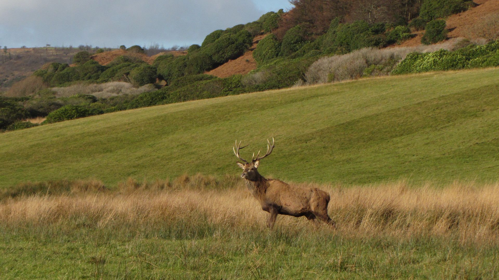
Deer Park Protection
Henry VIII's dissolution of monasteries in the 1530s converted Margam Abbey's lands into private estates, with successive owners maintaining deer parks for hunting rather than converting pastures into arable farmland. This aristocratic leisure pursuit inadvertently protected archaeological treasures that would have vanished under intensive agriculture practiced elsewhere across Britain.
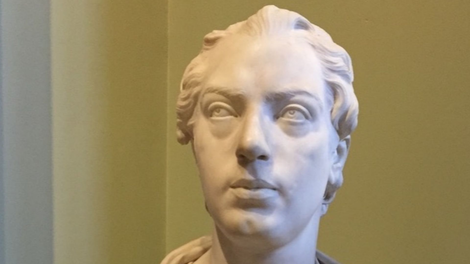
 After Hans Holbein the Younger, Wikimedia Commons
Wales's Largest Villa
Previous Roman villa discoveries in Wales were modest affairs—small farmsteads showing limited Romanization or military veterans' retirement homes lacking the grandeur found in southern England's villa heartlands. The Margam discovery shatters this pattern, presenting a standalone villa complex whose sophistication rivals elite residences in Gloucestershire, Somerset, and Dorset.
 Philip Halling , Wikimedia Commons
Port Talbot's Pompeii
Dr Langlands playfully dubbed the discovery "Port Talbot's Pompeii," a nickname that stuck immediately in media coverage and public imagination despite the obvious differences between volcanic burial and deer park preservation. The comparison references exceptional preservation potential rather than catastrophic destruction.

Agricultural Estate Hub
The villa complex almost certainly functioned as the administrative and residential center of a vast agricultural estate. Dr Langlands envisions the site as a bustling enterprise where "lots of people coming and going" managed daily operations—overseers directing field workers, merchants negotiating grain prices, and tax collectors recording production.
Gateway Location Significance
Margam occupies a strategically critical position between western Wales's rugged upland terrain and the fertile Vale of Glamorgan stretching eastward toward prosperous agricultural zones. Dr Langlands suggests Margam may have even lent its name to Glamorgan itself, making the site not just locally important but regionally defining.
 Philip Halling , Wikimedia Commons
Community Excitement Builds
Margaret Jones, a retired Port Talbot teacher with deep local history interests, described feeling "shellshocked" realizing the incredible villa lay beneath the park where she, her children, and grandchildren had played for decades. The discovery arrived during difficult times for Port Talbot, which suffered major job losses at the Tata steelworks.
 Gareth James , Wikimedia Commons
Conservation Priorities Ahead
This villa's exact location remains deliberately secret to prevent "nighthawking"—illegal metal detecting that plagues vulnerable archaeological sites across Britain, with rogue detectorists stealing artifacts before professional excavation can properly document context. The ArchaeoMargam project plans extended survey work to reveal additional features surrounding the villa.
 Gareth James , Wikimedia Commons
Future Excavation Plans
Whether and when excavation occurs remains uncertain, dependent on securing substantial funding for a project requiring years of careful archaeological work rather than weeks of hurried digging. The team hopes to answer crucial questions about the villa's construction date, occupants' identity, decoration quality, and abandonment circumstances.
 MariyaShubina, Wikimedia Commons


