Rediscovering A Hidden Waterway
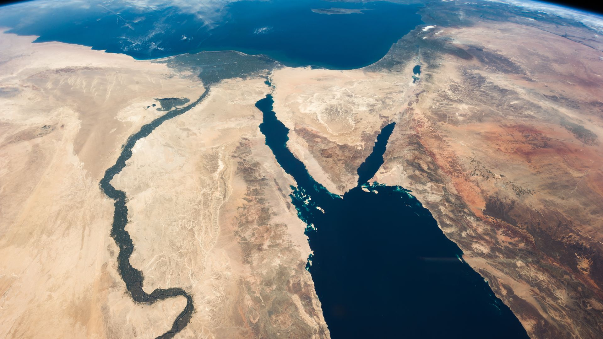
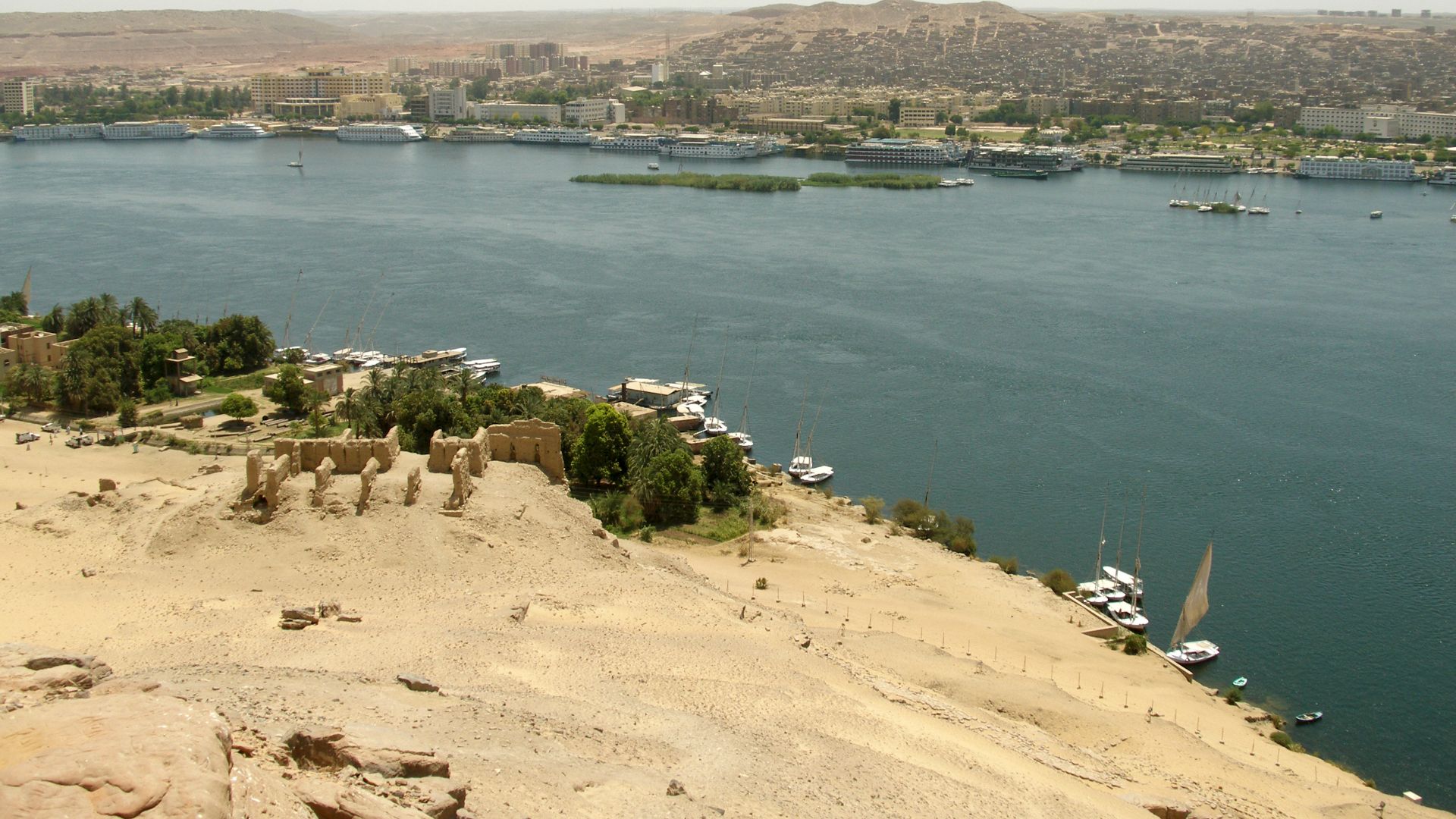
An international team of researchers has revealed evidence of a long-lost branch of the Nile River called the Ahramat branch. Flowing past Giza and its famous pyramid site, this hidden waterway may explain how the Ancient Egyptians transported massive stone blocks to construct their awe-inspiring monuments.

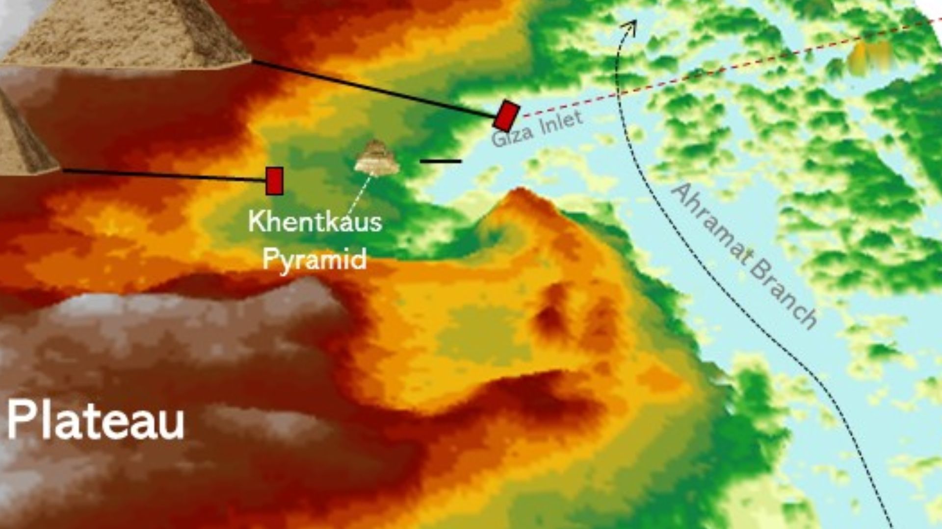
The Ahramat Branch And Pyramid Location
Satellite imagery and sediment analysis show that the Ahramat branch once flowed past many of the pyramid fields. The close proximity of the pyramids to the ancient river branch suggests the waterway was intentionally used as a transportation route for pyramid building materials.
Scientific Breakthrough
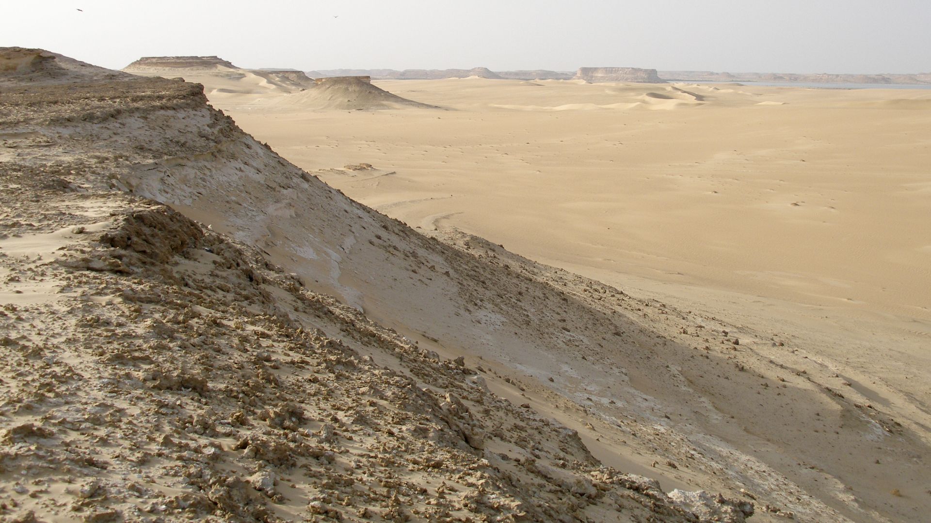
A paper published in the journal Nature described the results of geomorphological ground surveys and remote sensing data. Researchers traced the river’s old course, now buried under desert sands. The team has established that the old channel was indeed active during the Old Kingdom, when the pyramids of Giza were built.
 Robster1983 at English Wikipedia, Wikimedia Commons
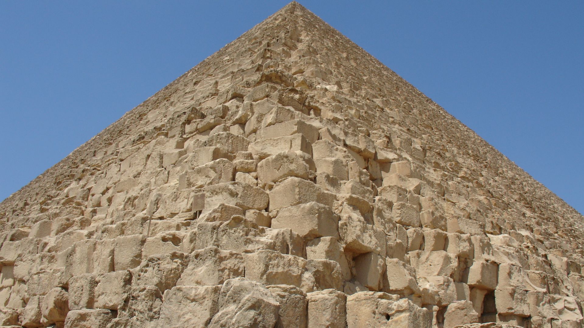
A Fitting Name
The newly pinpointed Nile branch is called the Ahramat branch, a name that comes from the Arabic word for pyramids. This fitting name links the onetime waterway to its hypothesized role in shaping the history and grandeur of Egypt’s most iconic structures.
 Vyacheslav Argenberg, Wikimedia Commons
Solving An Old Mystery
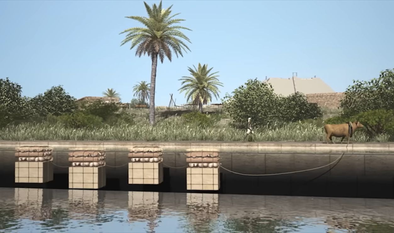
The debate has raged for centuries about how exactly the enormous limestone and granite blocks used in the pyramids were transported. The rediscovery of the Ahramat branch gives credence to the theory that water transport was essential in overcoming the obvious engineering and logistical challenges of the project.
 Mgiganteus1 at English Wikipedia, Wikimedia Commons
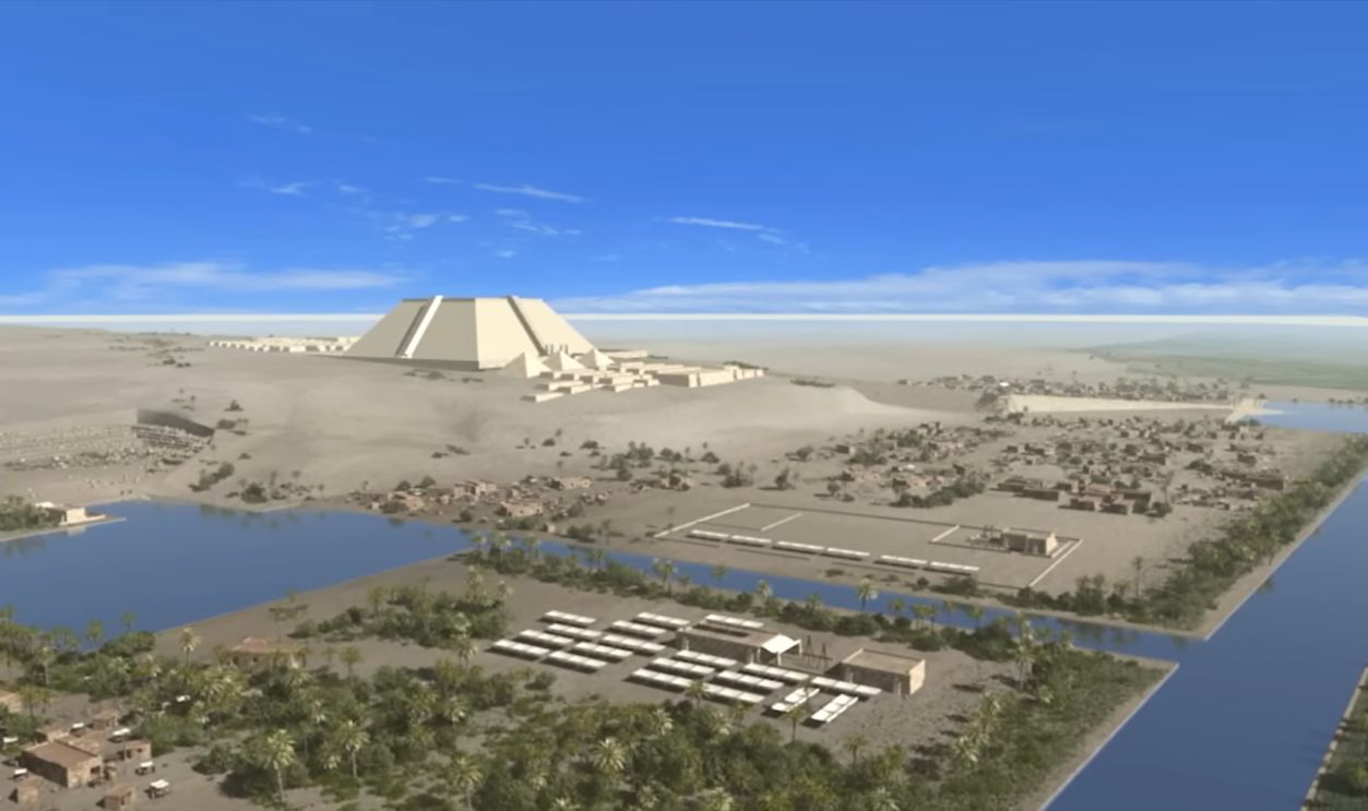
Water Played A Key Role
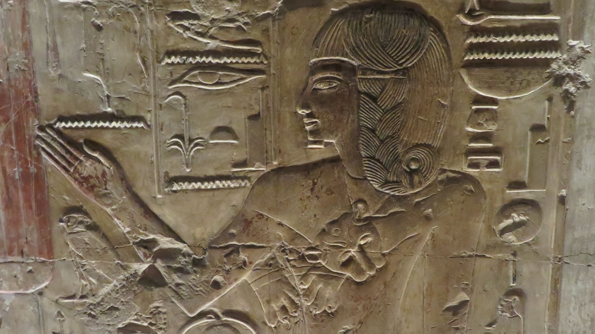
Ancient texts and reliefs hold telltale clues that canals or basins were a primary instrument in the transport of the stones. The Ahramat branch now offers tangible evidence, giving new life to these historical accounts and showing how natural waterways would’ve made large-scale construction efforts a lot easier.
 How were the pyramids of egypt really built - Part 1, pyramidsreallybuilt
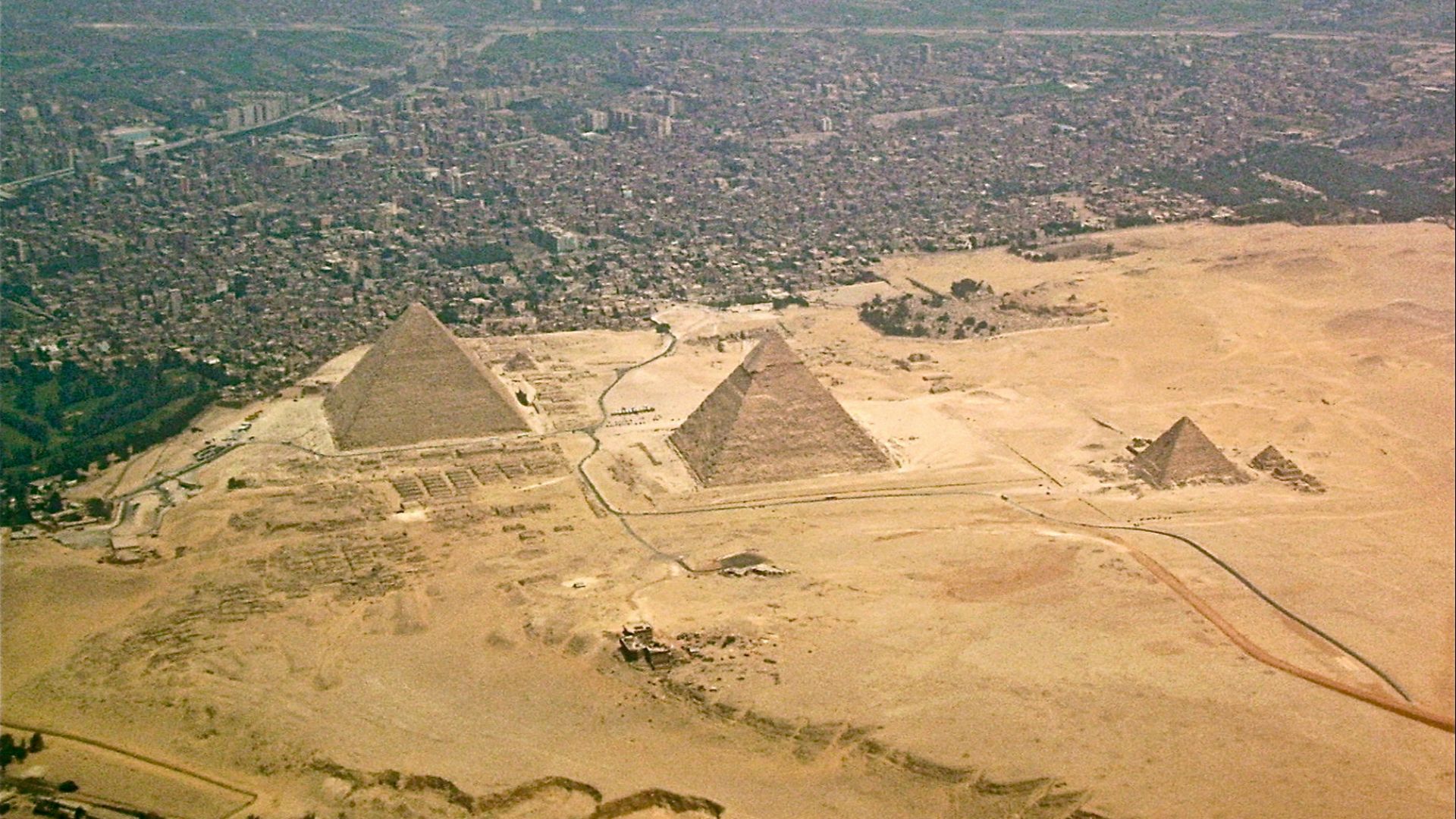
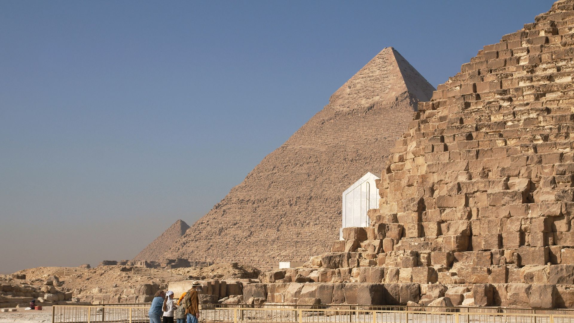
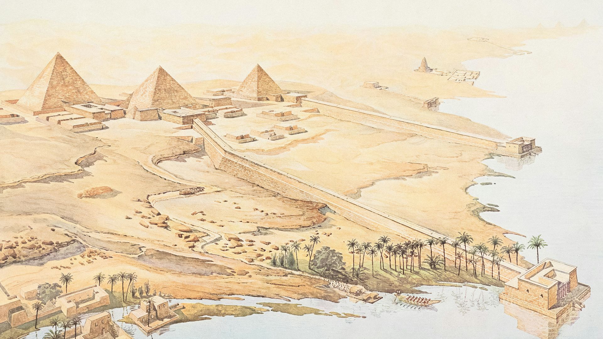
Proximity To Major Pyramid Sites
The Ahramat branch flowed close to the most iconic pyramids such as those at Giza, Dahshur, and Lisht. This proximity suggests that the waterway was used as a construction highway, enabling the enormously heavy quarried stones to be floated close to the pyramid sites.
A Tale Told By Geology
Researchers drilled sediment cores to uncover deposits consistent with the presence of an ancient river. Their findings confirm that this branch of the Nile was at one time a thriving waterway before it dried up under the ferocious onslaught of Egypt’s arid climate conditions.
 Lost Tombs of the Pyramids | SPECIAL | National Geographic, National Geographic
Climate Change: Desert Sands Sift In
Over time, desertification brought on by a changing climate caused the branch to dry up and disappear completely. As the Sahara desert remorselessly expanded, the Ahramat branch was buried under layers of sand and soil, leaving only traces detectable through modern scientific methods.
 Vyacheslav Argenberg, Wikimedia Commons
Ingenuity Of The Egyptians
This discovery showcases the Egyptians’ ability to harness natural landscapes to get things done. They saw the advantages of river transport and adapted their construction strategies to make maximum use of the waterways, greatly reducing the backbreaking labor needed to move the fiendishly heavy blocks.
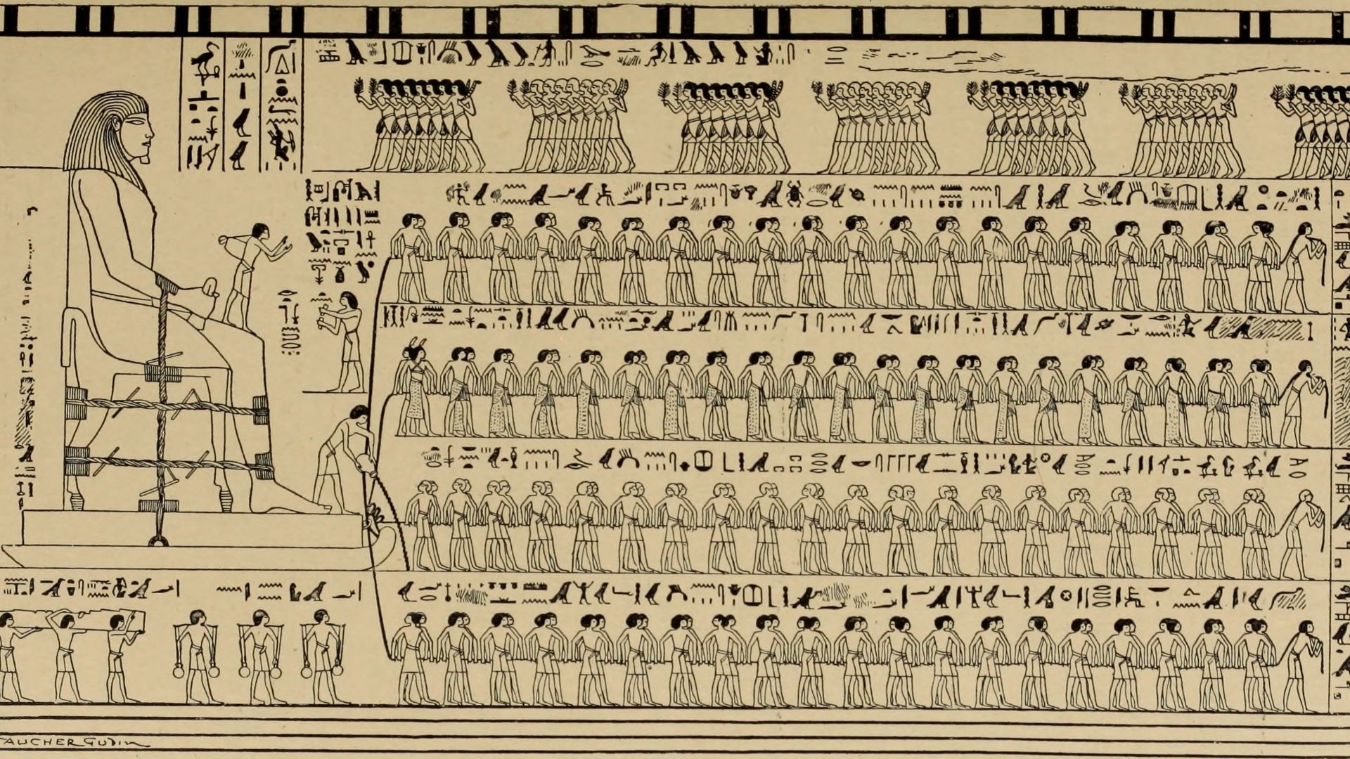
Evidence From Ancient Inscriptions
Some inscriptions and reliefs show boats laden with stones while traversing waterways. The Ahramat branch now fills in the missing geographical context, suggesting that these depictions weren’t symbolic or fanciful, but actually illustrated real construction practices.
 How were the pyramids of egypt really built - Part 1, pyramidsreallybuilt
A Network Of Inland Waterways
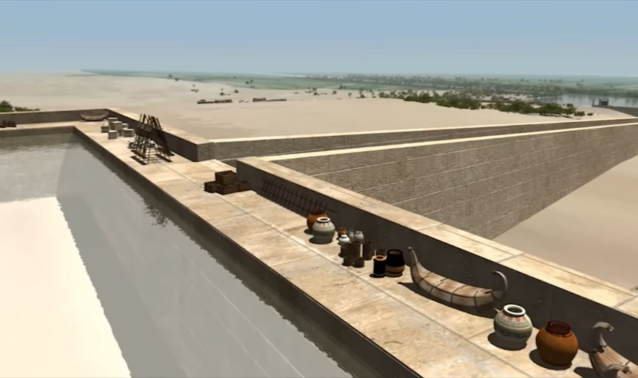
In addition to the natural branch, the Egyptians most likely constructed connecting canals and harbors. These man-made features would’ve linked quarries, river channels, and pyramid sites, adding up to a sophisticated logistical network for pyramid construction.
 How were the pyramids of egypt really built - Part 1, pyramidsreallybuilt
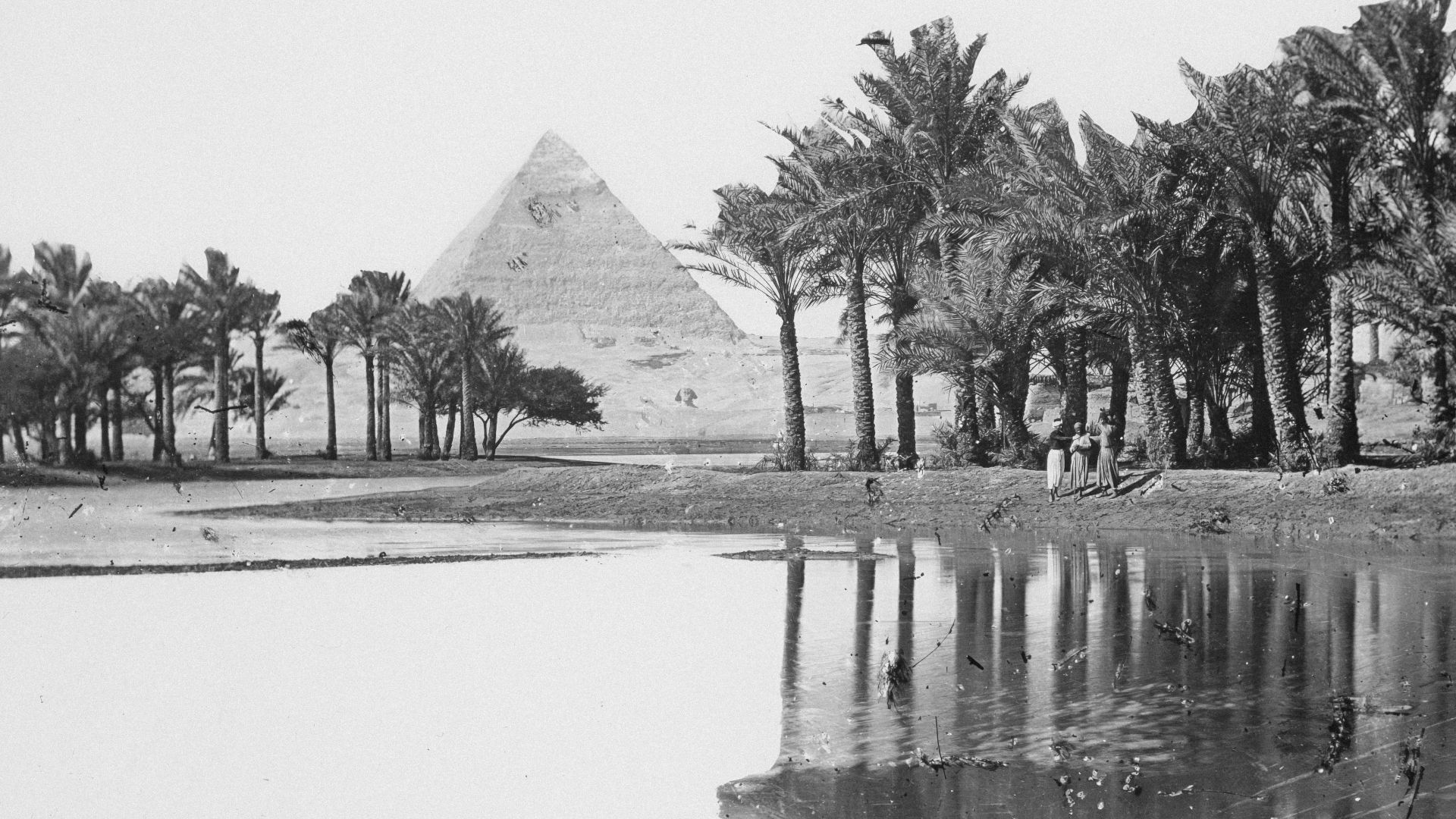
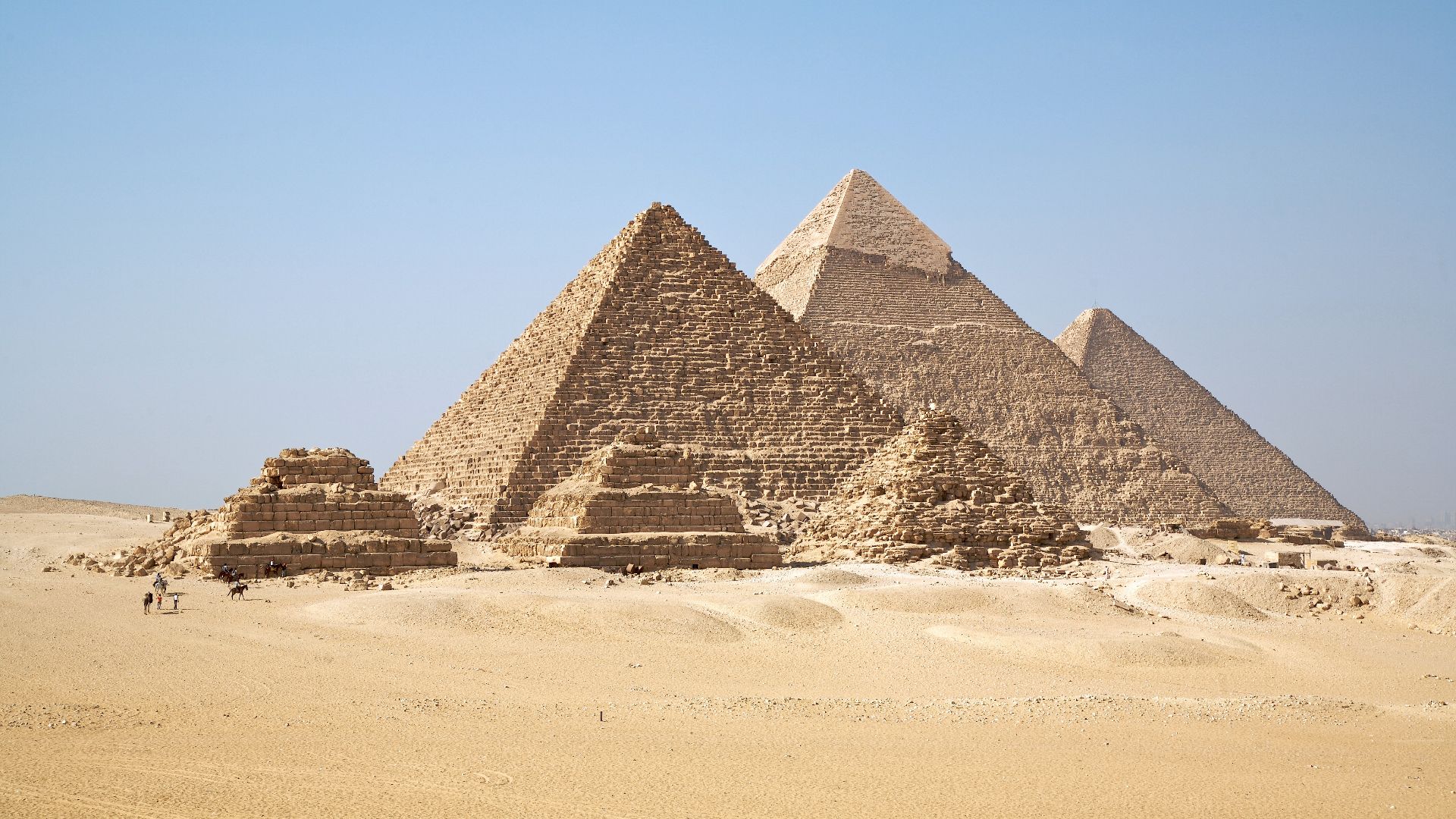
What It Means For The Giza Pyramids
At Giza, the Ahramat branch’s proximity suggests that blocks from distant quarries could be unloaded near the construction site. This does away with the need for older construction theories that relied on sledges being dragged overland by hordes of slaves. Ahramat offers a much simpler and more efficient explanation.
 Internet Archive Book Images, Wikimedia Commons
Technological And Cultural Impact
The use of waterways to transport building materials demonstrates technical skill but also a certain amount of cultural foresight. The Egyptians integrated the natural geography around them into a unified architectural vision, aiding their ability to manage the landscape.
An Overhaul For Pyramid Construction Theories
This discovery pushes historians to rethink their long-standing assumptions about the logistics of pyramid construction. While ramps and sledges must’ve played a role, the combination with water transport would’ve made the whole process a lot more manageable and efficient.
International Collaboration Gets Things Done
The Ahramat branch study is the outcome of an international collaboration of geographers, geologists, and Egyptologists. With the help of advanced technology, the team pieced together this amazing evidence that’s been buried for millennia, shedding a bright new light on Egypt’s golden age of pyramid building.
 National Cancer Institute, Unsplash
Impact On Tourism And Heritage
For modern-day Egypt, the Ahramat branch adds another layer to its complex heritage. The story of a lost Nile River could bring a new wave of tourism, offering inquisitive travelers a whole new perspective on the landscape that supported the construction of the most awesome wonders of the Ancient World.
Advances For The Study Of Ancient Hydrology
The Ahramat discovery also adds to the body of knowledge in ancient hydrology. It illustrates how rivers shape civilizations, influence urban planning, agriculture, and monument-building in ways that modern researchers are only now beginning to comprehend.
Monument To Human Adaptation
The Egyptians’ savvy ability to adapt to changing landscapes gives us a clue to the resilience of their civilization. Through the harnessing of waterways like the Ahramat branch, they created the awesome monuments that still inspire tourists to flock there from every point on the globe.
 Mohamed Ahmed Yousry, Wikimedia Commons
A New Chapter In Egyptology
The rediscovery of the Ahramat branch represents a new chapter in the study of ancient Egypt. It bridges archaeology, geography, and climatology, showing how interdisciplinary science can uncover lost features of human history.
 Ricardo Liberato, Wikimedia Commons
You May Also Like:
There's Way More To Egypt Than The Great Pyramids: The Explosion Of Egyptian Tourism