

Peru's Hidden System
National Geographic published photos of mysterious desert holes on a hilltop in Peru 1933. Readers lost their minds trying to explain them. Graves? Fortifications? Storage? Nobody knew. Fast forward to 2025, and researchers finally have the answer. Does Jeff Bezos owe credit to these Ancient Peruvians?
 Bruno7, CC BY 3.0, Wikimedia Commons, Modified
Desert Mystery
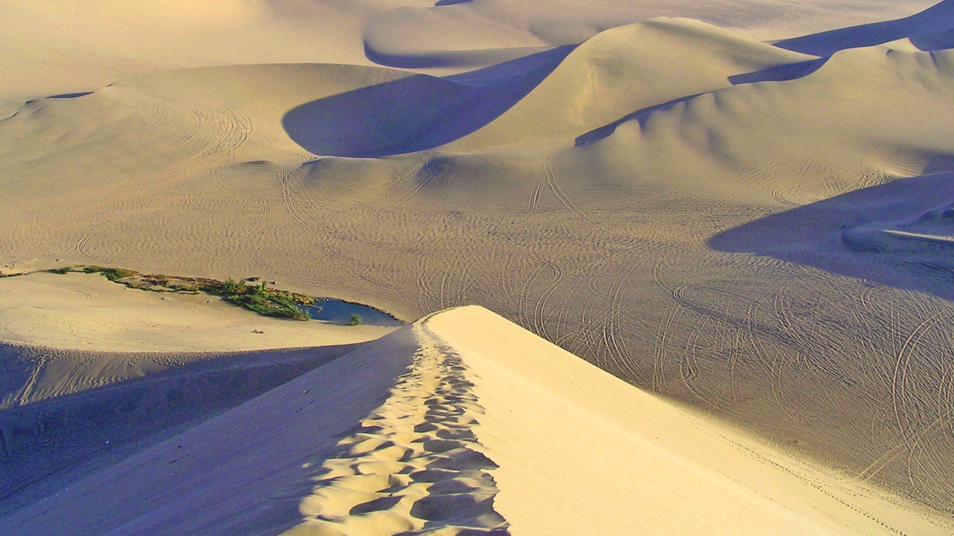
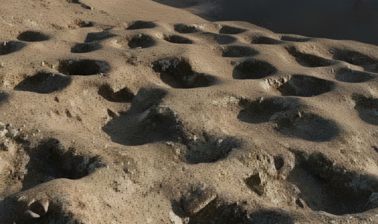
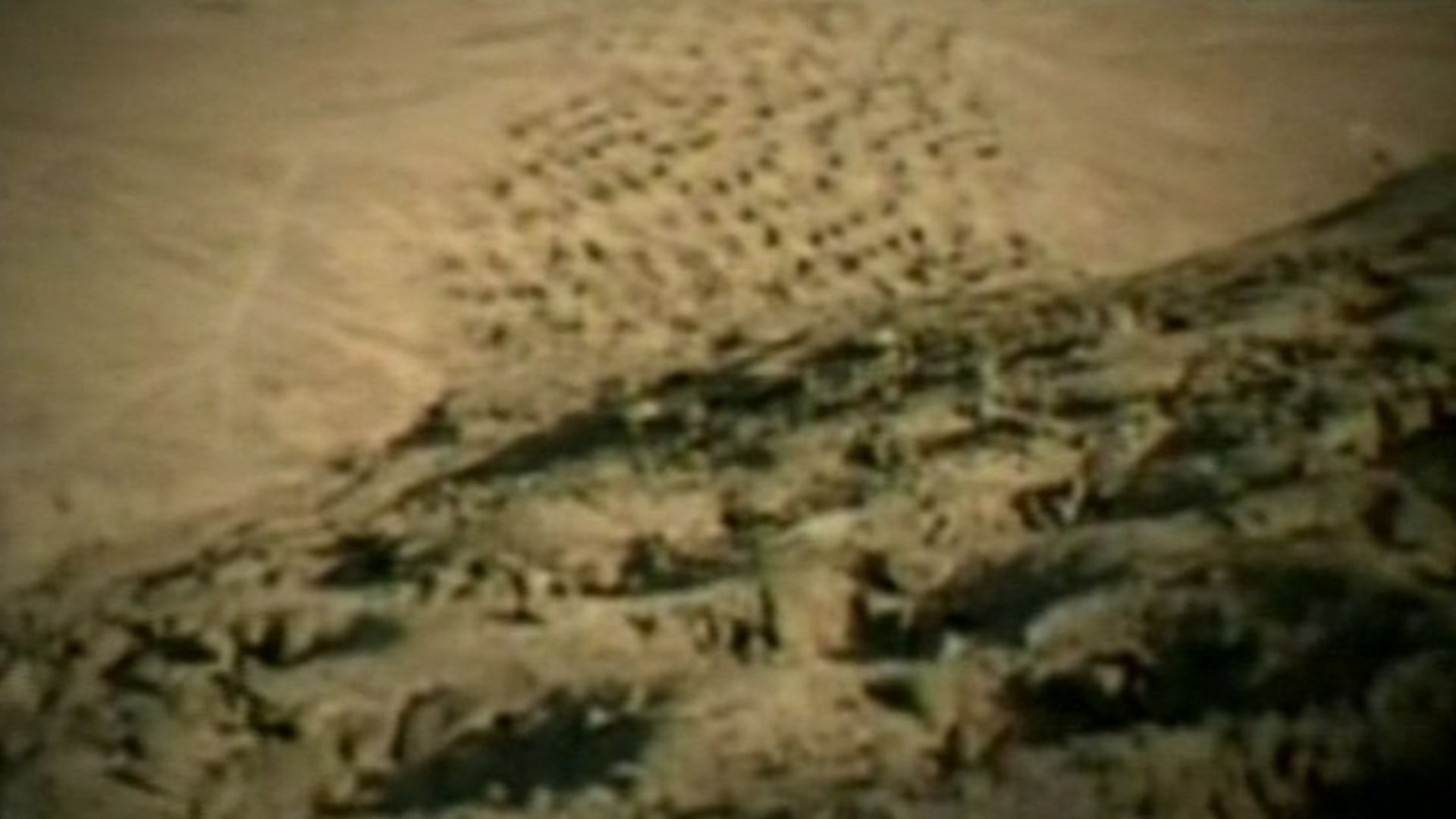
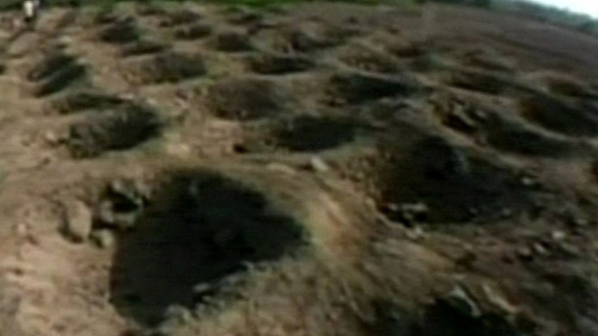
Imagine flying over Peru's barren desert and spotting thousands of perfectly aligned holes carved into a hillside, stretching nearly a mile like some ancient code written into the earth itself. For nearly a century, these mysterious depressions baffled scientists, archaeologists, and conspiracy theorists alike.
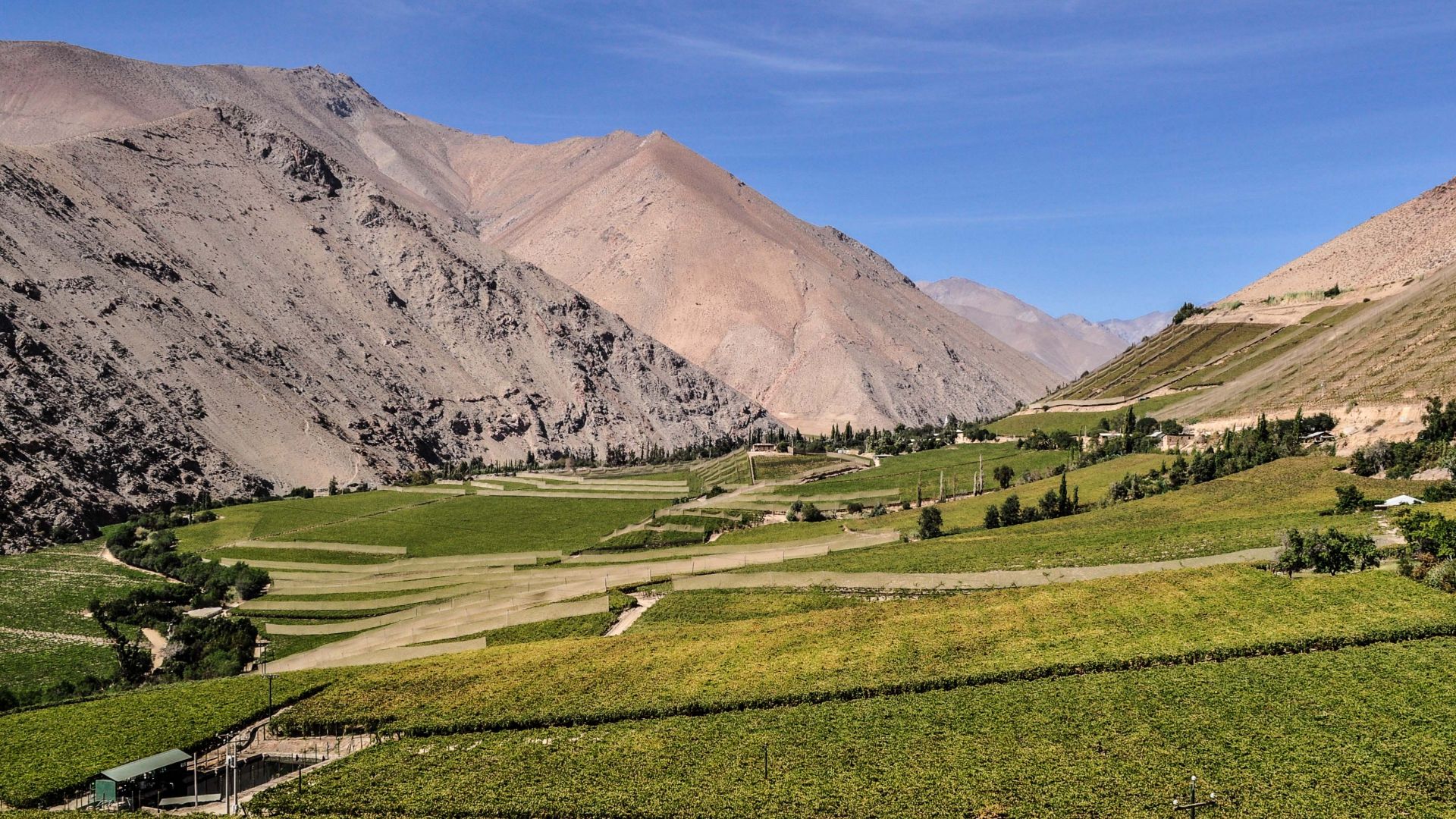
Pisco Valley
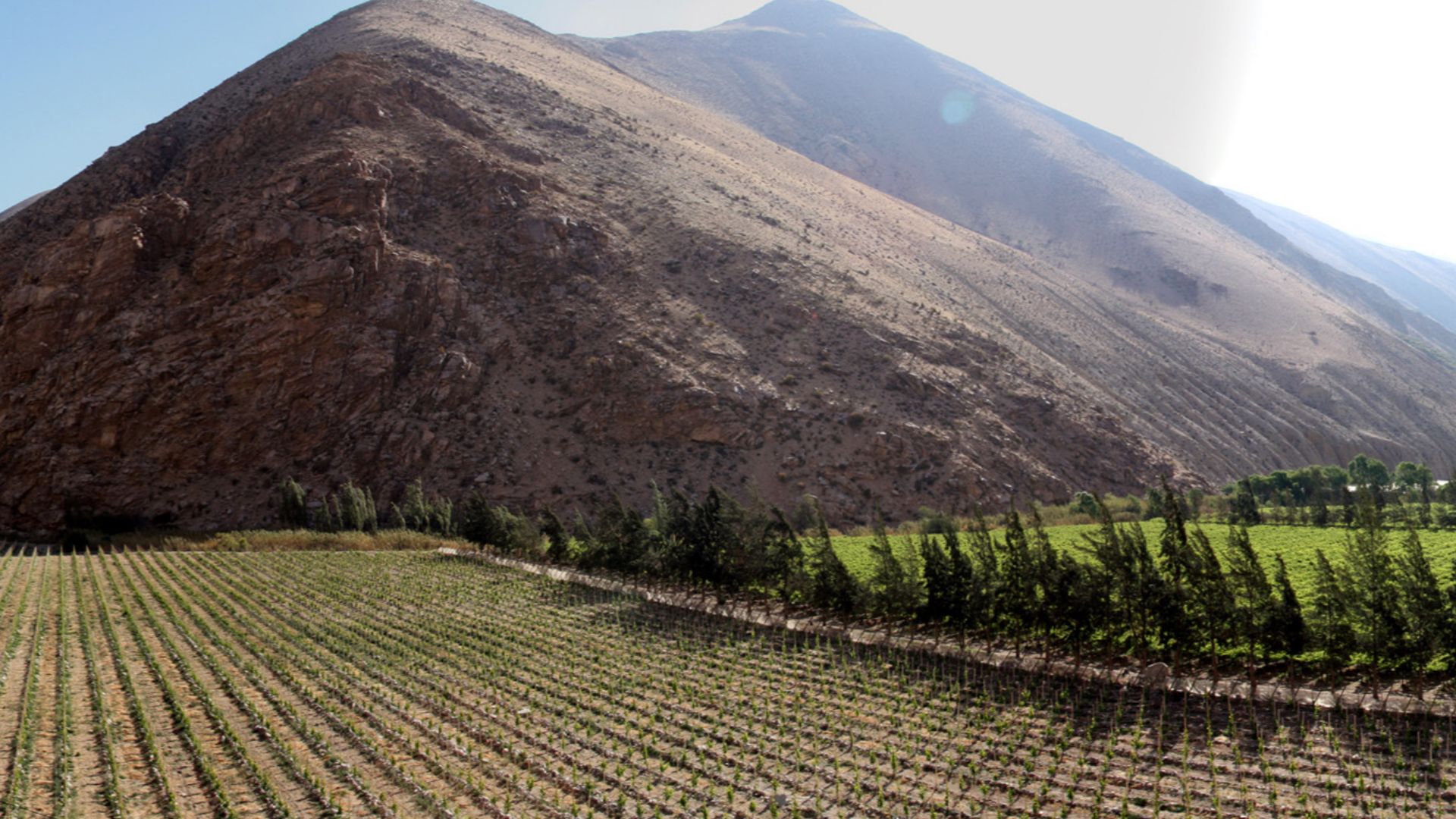
The Pisco Valley cuts through Peru's hyper-arid coastal desert, where annual rainfall measures less than 30 millimeters, making it one of Earth's driest environments. Located roughly 200 kilometers south of Lima, this valley became a lifeline for ancient civilizations thanks to the Pisco River flowing down from the Andes.
 Fer Quintana, Wikimedia Commons
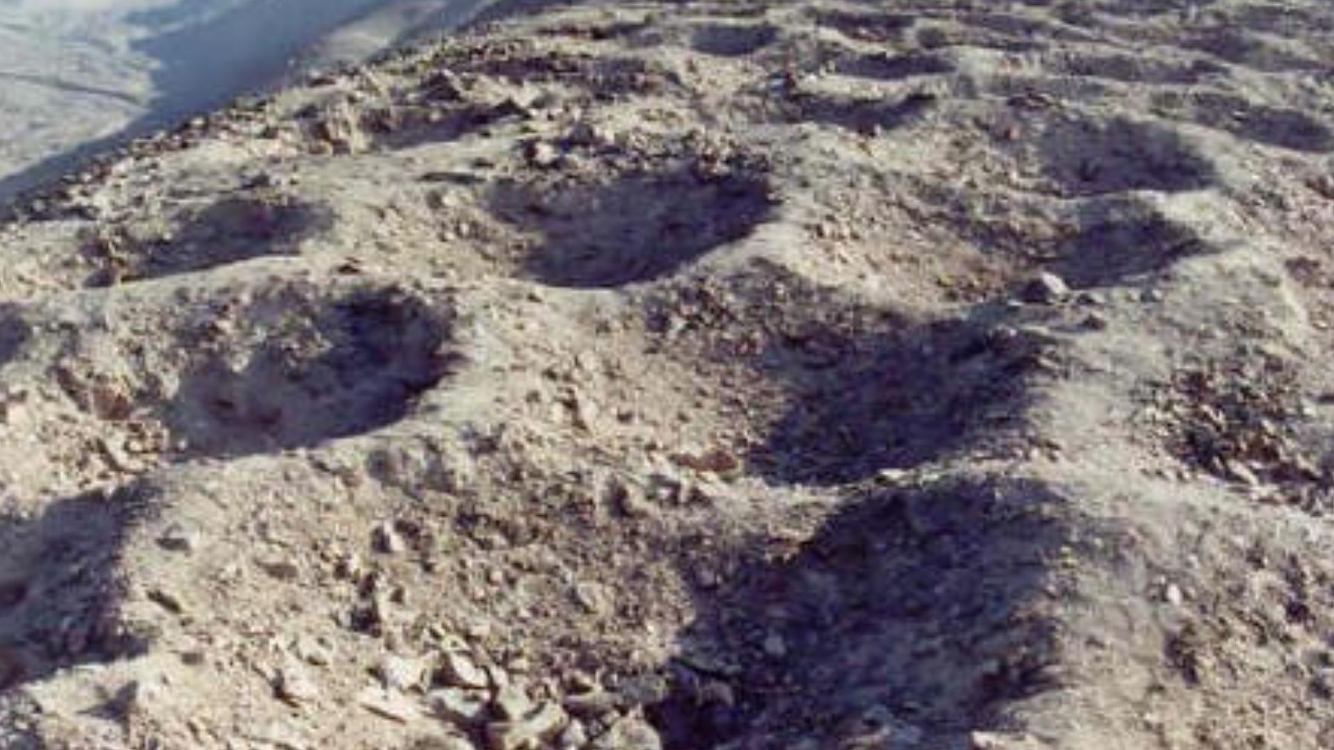
Monte Sierpe
Local colonial records from the eighteenth century mention a "famous wine hacienda called Monte Sierpe," preserving the site's name through generations. The Spanish translation means "Serpent Mountain," though nearby residents had no idea who created the holes or what they were for.
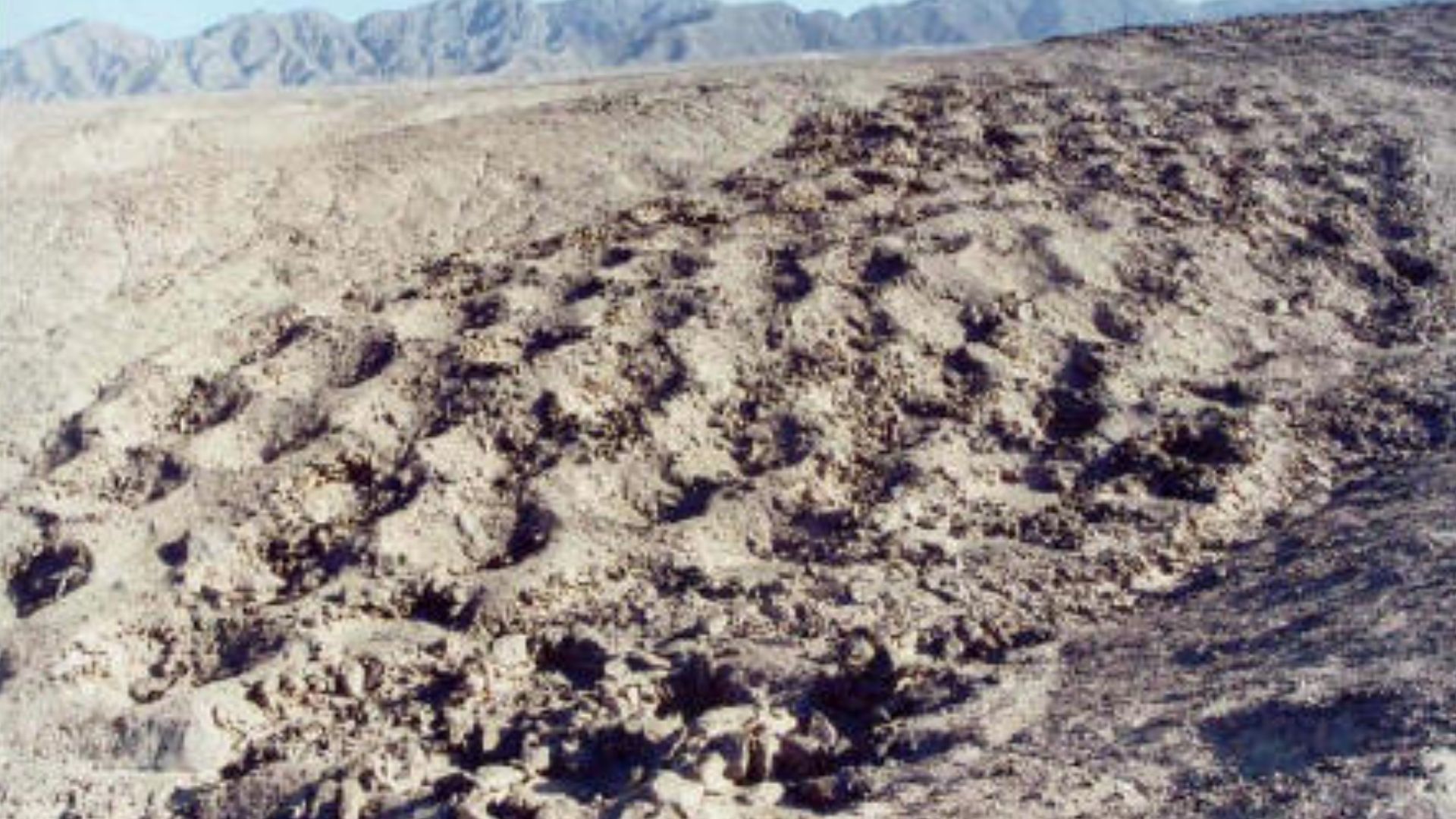
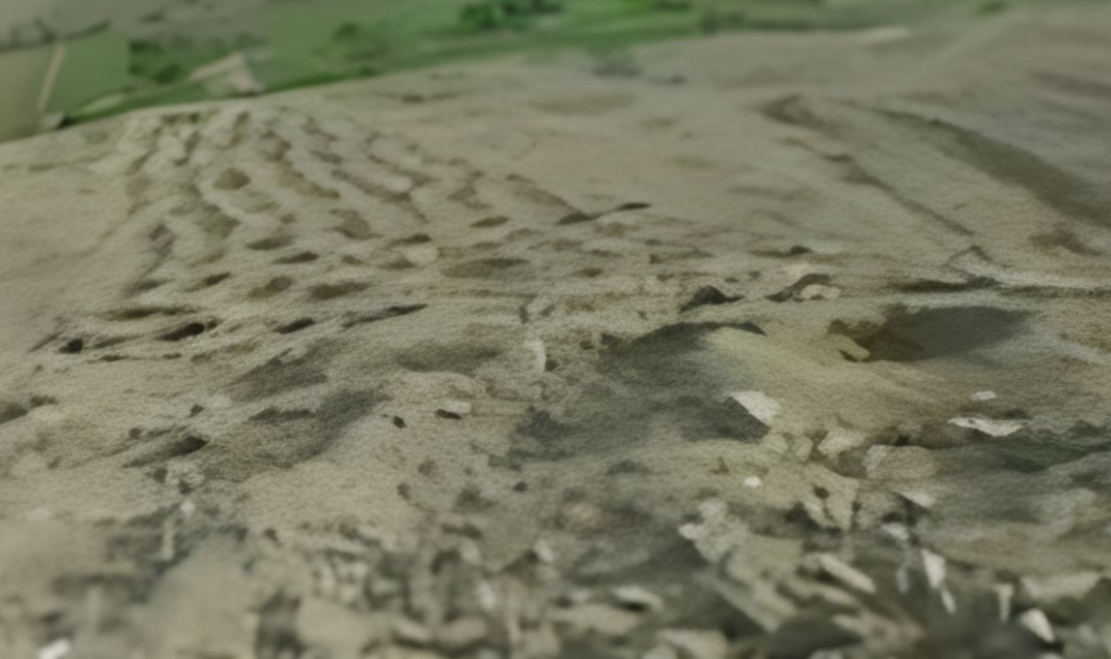
Serpent Mountain
The serpentine arrangement of holes snaking up the hillside inspired the name that would endure for centuries. Each depression measures between one and two meters wide and half a meter to one meter deep. The holes march upward at a 50-degree angle across the rocky slope.
 Bruno7, CC BY 3.0, Wikimedia Commons
1931 Discovery
Geologist Robert Shippee and US Navy Lieutenant George R Johnson led one of South America's first aerial photography expeditions. Flying over Peru's southern coast, they photographed strange "pockmarks" dotting a remote hillside that would puzzle researchers for generations. These weren't natural formations or erosion patterns.
 U.S. Army JMRC by Spc. Uriel Ramirez, Wikimedia Commons
Aerial Photography
Two years after Shippee and Johnson's expedition, the National Geographic Society published their photographs in 1933, introducing the mysterious Band of Holes to the world. The black-and-white images showed thousands of circular depressions arranged with almost mechanical precision along a desert ridge.
 Bruno7, CC BY 3.0, Wikimedia Commons
National Geographic
The 1933 National Geographic article turned Monte Sierpe from a local curiosity into an international archaeological puzzle. The magazine's global reach meant millions saw these strange formations, triggering countless theories and amateur investigations. Scientists found themselves fielding questions about everything from defensive military installations to extraterrestrial activity.
 National Geographic Magazine, Wikimedia Commons
5,200 Depressions
Modern drone surveys confirmed approximately 5,200 individual holes stretching 1.5 kilometers along the ridge, each requiring careful excavation and stone-lining by ancient builders. The sheer scale demanded massive labor investment, such as digging through rocky desert soil without metal tools and transporting stones for lining.

Chincha Kingdom
Between 1000 and 1400 CE, the Chincha Kingdom dominated Peru's southern coast as one of the region's most powerful civilizations. Unlike typical agricultural societies, the Chincha organized themselves into specialized economic groups: 10,000 fisherfolk, 10,000 farmers, and 6,000 merchants and artisans working in distinct communities.
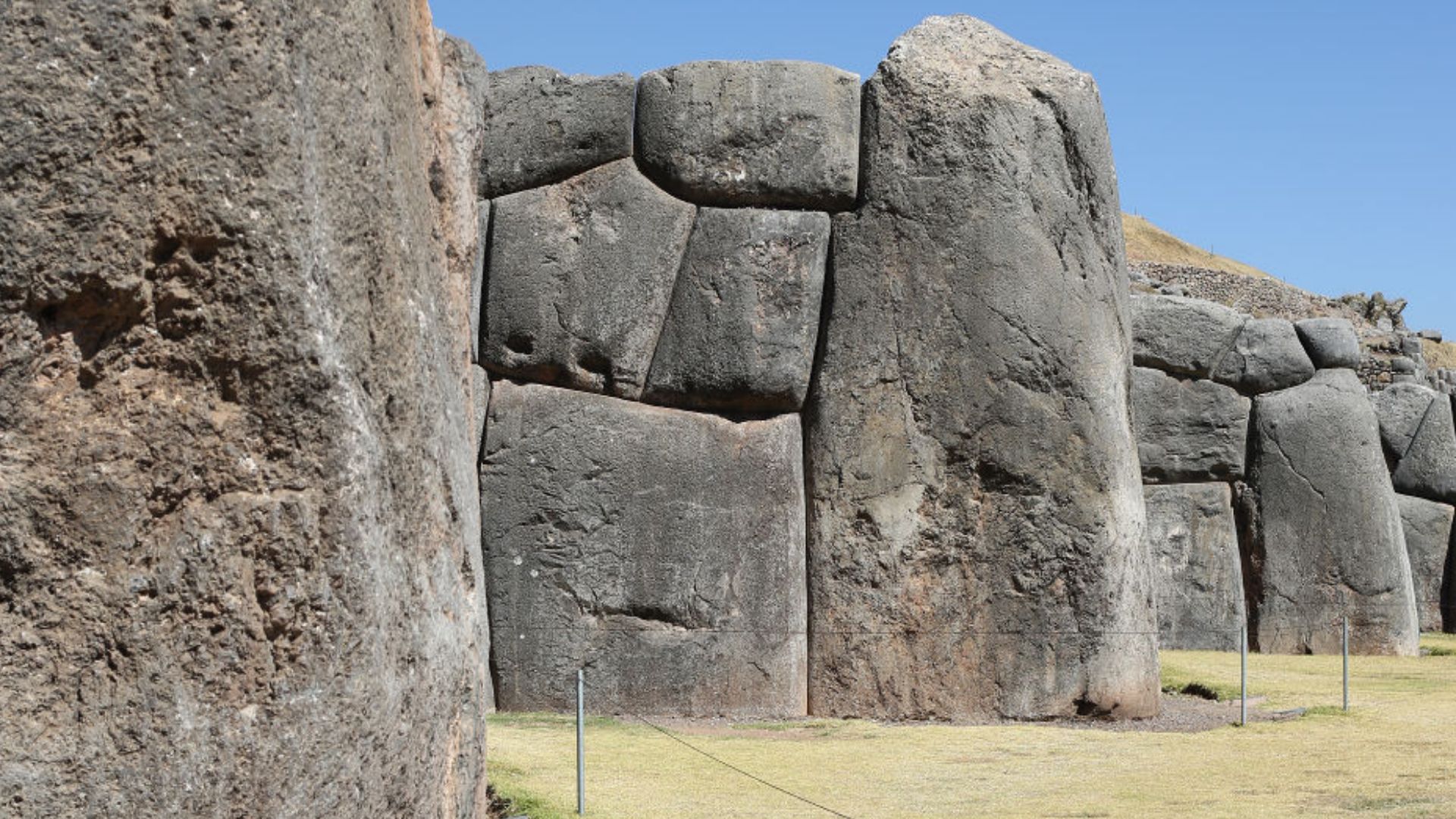
Pre-Inca Civilization
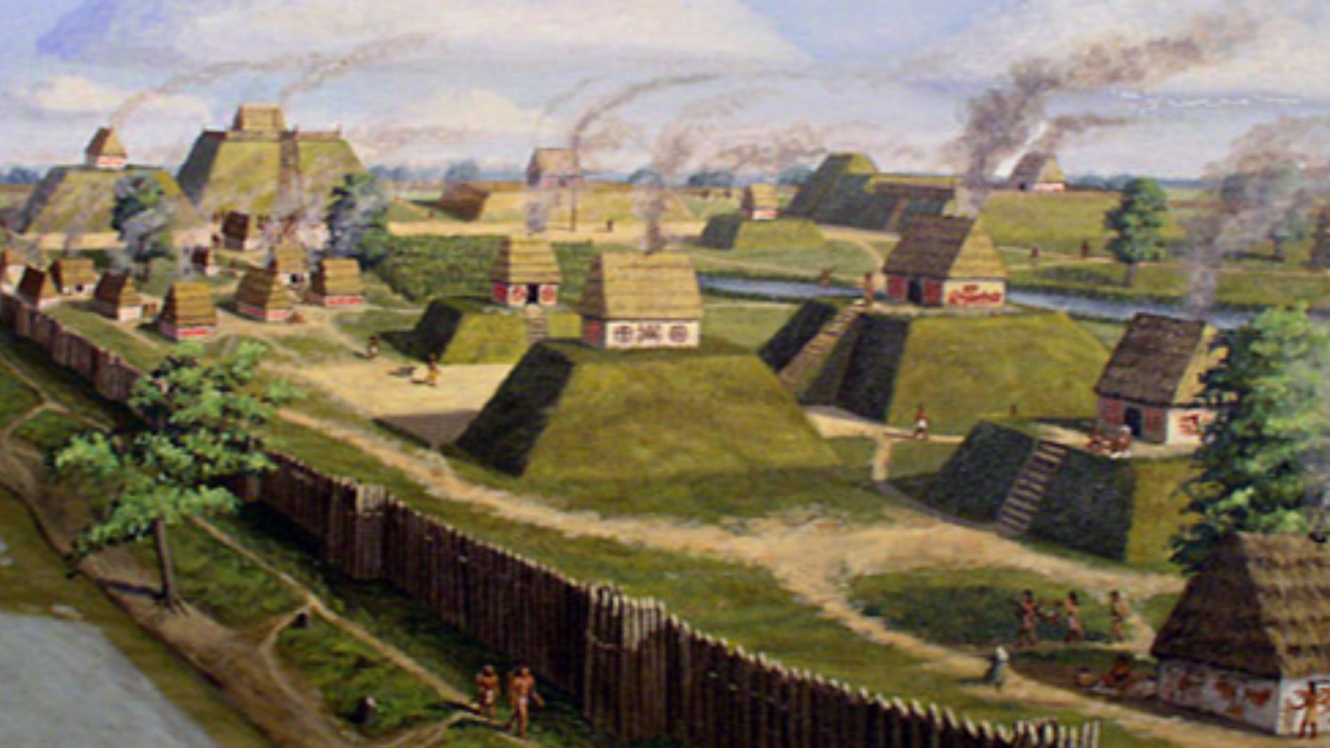
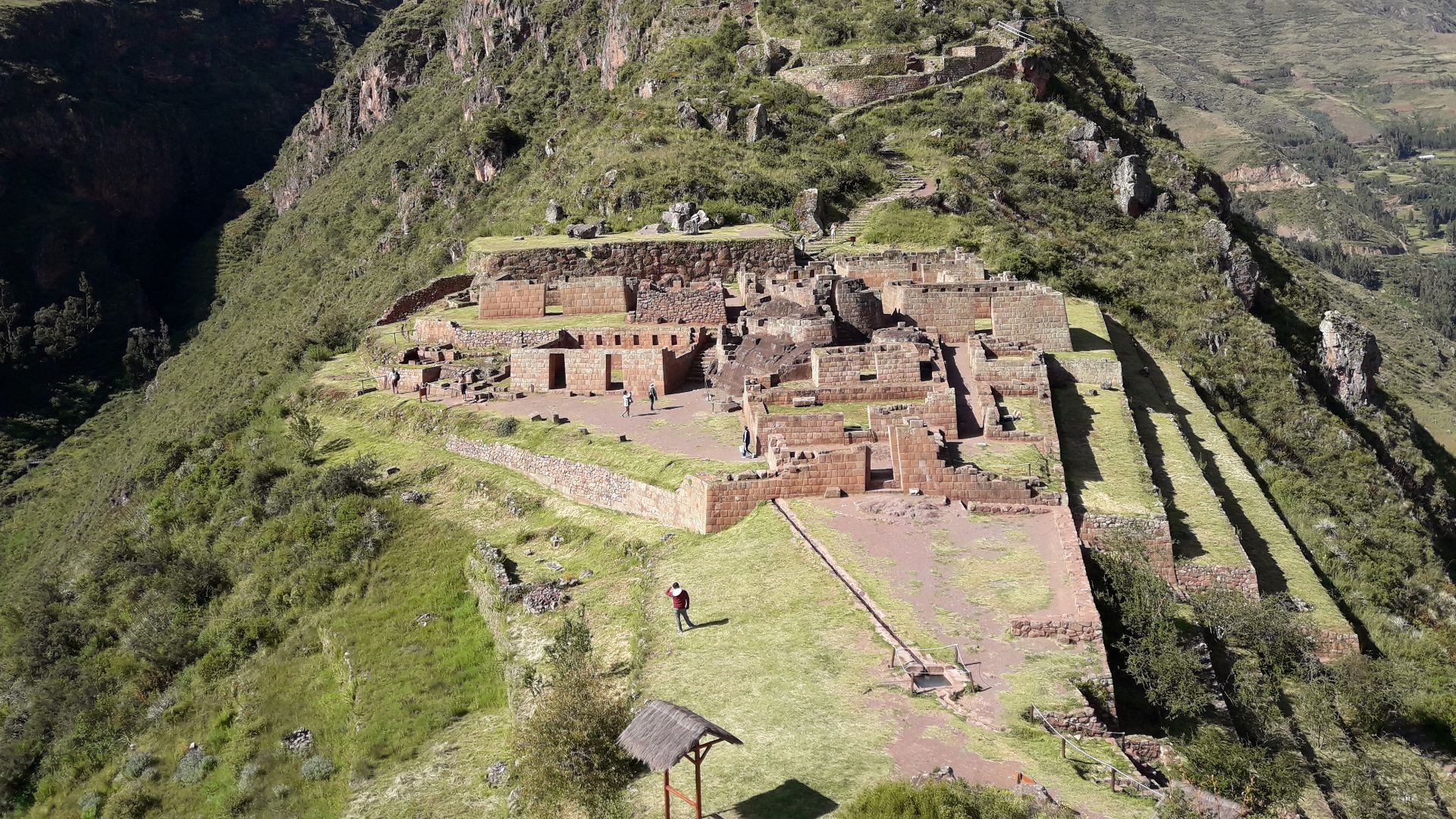
The Chincha thrived during the Late Intermediate Period, building their capital, La Centinela, with massive adobe pyramids covering over 75 hectares near modern Chincha Alta. Their strategic location between the Pacific Ocean and the Andean highlands made them invaluable middlemen.
Late Intermediate
During this era, the Chincha Kingdom constructed Monte Sierpe, likely in the fourteenth century, based on radiocarbon dating of organic materials found within the holes. This period saw intensified competition for resources and strategic alliances between coastal and highland groups as populations grew beyond simple kinship-based governance.
Maritime Traders
Chincha merchants sailed balsa rafts along the Pacific coast, traveling over 1,400 kilometers north to Ecuador to acquire spondylus shells and balsa wood, materials unavailable in southern Peru. Spanish chroniclers also recorded that Chincha merchants held a special status.
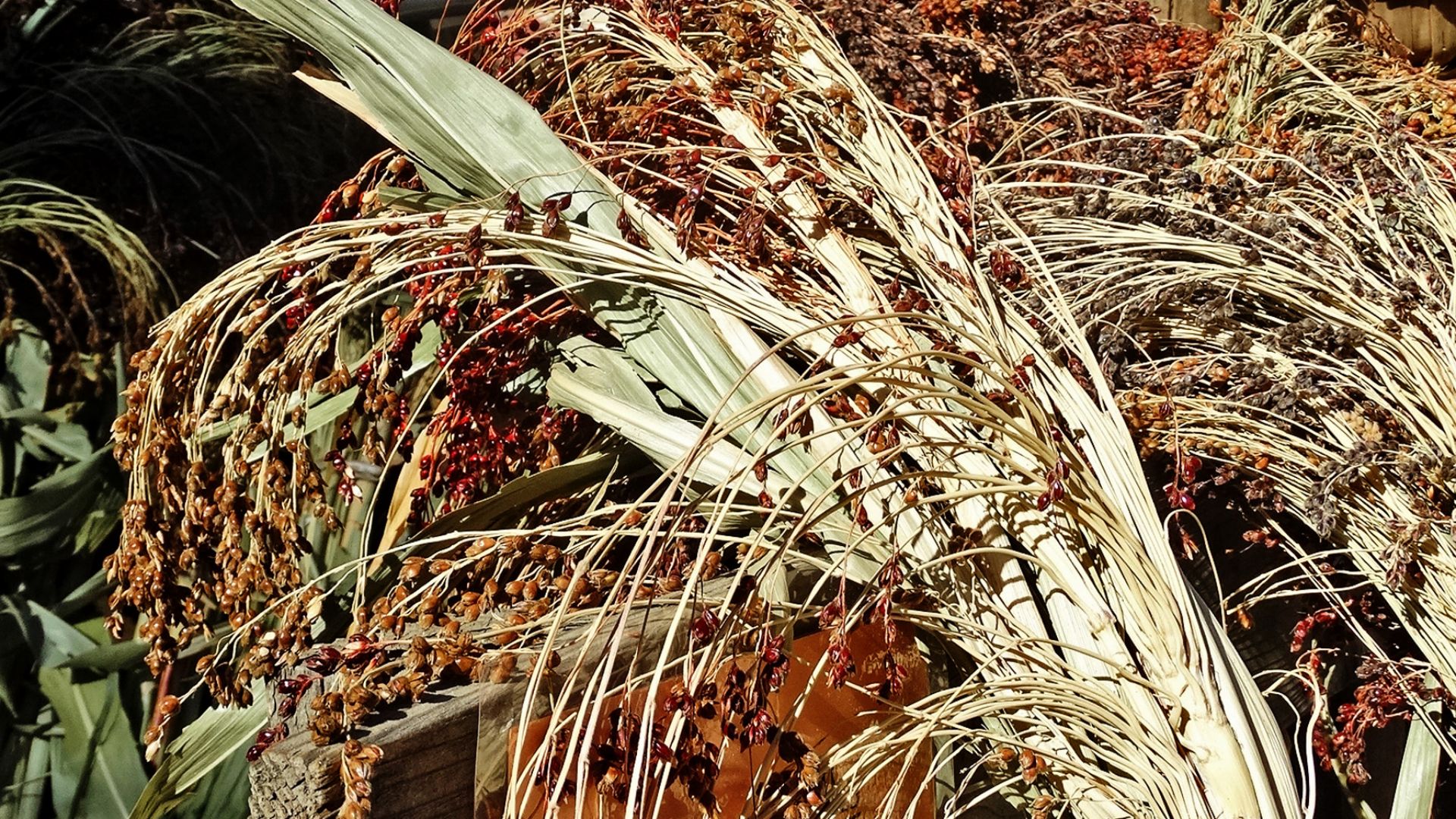
Guano Fertilizer
Seabird excrement piling meters high on Peru's offshore islands became the Chincha Kingdom's secret weapon for agricultural dominance in one of Earth's driest deserts. A 2025 chemical analysis of 35 maize samples from Chincha burial sites revealed exceptionally high nitrogen isotope values.
 Jorg Hempel, Wikimedia Commons
Agricultural Wealth
Guano-fertilized fields converted the Pisco and Chincha valleys into agricultural powerhouses producing abundant maize, cotton, squash, beans, and chili peppers despite extreme aridity. This surplus supported population growth estimated at over 100,000 people across the kingdom, with enough excess production to fuel extensive trade networks throughout the Andes.
 gaspar abrilot from Santiago, Chile, Wikimedia Commons
Marketplace Theory
Dr Jacob Bongers from the University of Sydney led research suggesting Monte Sierpe originally functioned as a bustling pre-Inca marketplace. Mobile seafaring merchants arriving with shells and exotic goods, llama caravans from the highlands bringing wool and copper, and valley farmers with agricultural produce would have gathered at this strategic crossroads.
 Kokoverasteguit, Wikimedia Commons
Drone Mapping
Modern drone technology revolutionized Monte Sierpe research in ways impossible during earlier ground surveys or 1930s aerial photography. Dr Bongers' team used drones to craft detailed digital elevation models and orthomosaic maps documenting every hole's precise location, dimension, and relationship to neighboring depressions.
 Cyber-Complex Foundation https://cybercomplex.net, Wikimedia Commons
Pollen Analysis
Microbotanical analysis of sediment samples collected from multiple holes across Monte Sierpe yielded stunning discoveries that revolutionized understanding of the site's purpose and use. Researchers identified pollen from at least 27 different plant types, including maize, sweet potato, squash, amaranth, cotton, and chili peppers.
 Dartmouth Electron Microscope Facility, Dartmouth College , Wikimedia Commons
Maize Evidence
Corn pollen discovered in the holes provided particularly compelling evidence since maize was the Andes' most important staple crop and a primary trade commodity throughout pre-Columbian Peru. Chemical analysis confirmed that the Chincha cultivated highly productive maize using guano fertilizer.
 inkknife_2000 (7.5 million views +), Wikimedia Commons
Barter System
Without currency or written contracts, ancient Andean societies developed intriguing barter systems requiring visual, physical methods for establishing equivalence between diverse goods like dried fish, woven textiles, agricultural produce, and precious metals. Monte Sierpe's standardized holes may have functioned as three-dimensional storage boxes for mercantile goods, like an ancient Amazon drop box.
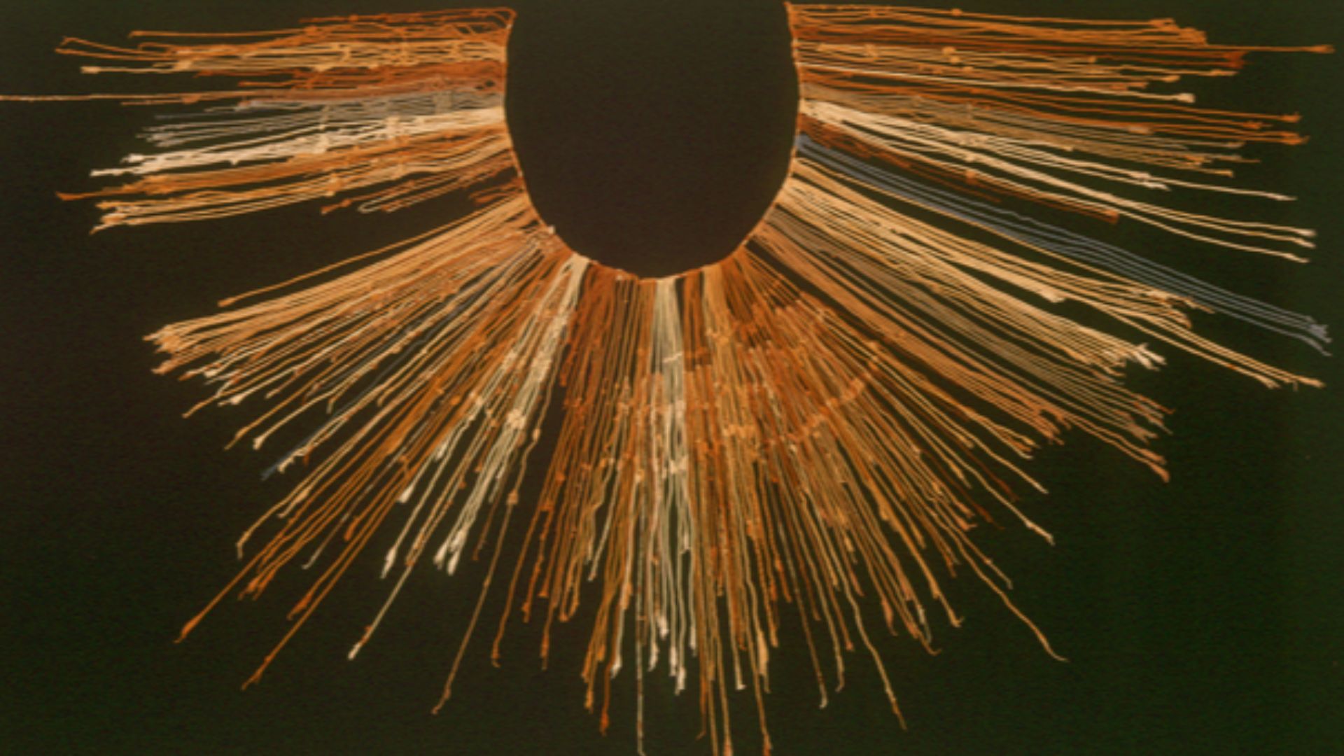
Khipu Connection
Researchers discovered astonishing parallels between Monte Sierpe's organization and an Inca khipu (knotted-string accounting device) recovered from the same Pisco Valley. The khipu contained approximately 80 cord groups while Monte Sierpe featured 60 distinct sections, both using similar organizational logic based on grouped units.
 Claus Ableiter nur hochgeladen aus enWiki, Wikimedia Commons
Inca Takeover
Around 1400 CE, the Inca Empire incorporated the Chincha Kingdom through remarkably peaceful capitulation rather than violent conquest. The lord of Chincha held such prestige that he traveled alongside Emperor Atahualpa in 1532 when Spanish forces captured the Inca ruler at Cajamarca.
Landscape Spreadsheet
Monte Sierpe represents an extraordinary example of what researchers call "social technology"—a physical system designed to manage human interaction, exchange, and record-keeping without writing or currency. The holes functioned like cells in a massive outdoor spreadsheet where each depression held a specific meaning.
2025 Breakthrough
In November 2025, the journal Antiquity published amazing research by Dr Jacob Bongers and Professor Charles Stanish, combining drone imagery, microbotanical analysis, and khipu comparisons to finally solve Monte Sierpe's century-old mystery. Despite the site's fame since 1933, it had received minimal professional archaeological study due to its isolated location.
Mystery Solved
The Band of Holes now stands revealed as an ingenious indigenous innovation that brought people together for exchange before becoming a tool of imperial administration and tribute extraction. This discovery expands understanding of Andean accounting practices.
 Bruno7, CC BY 3.0, Wikimedia Commons


