
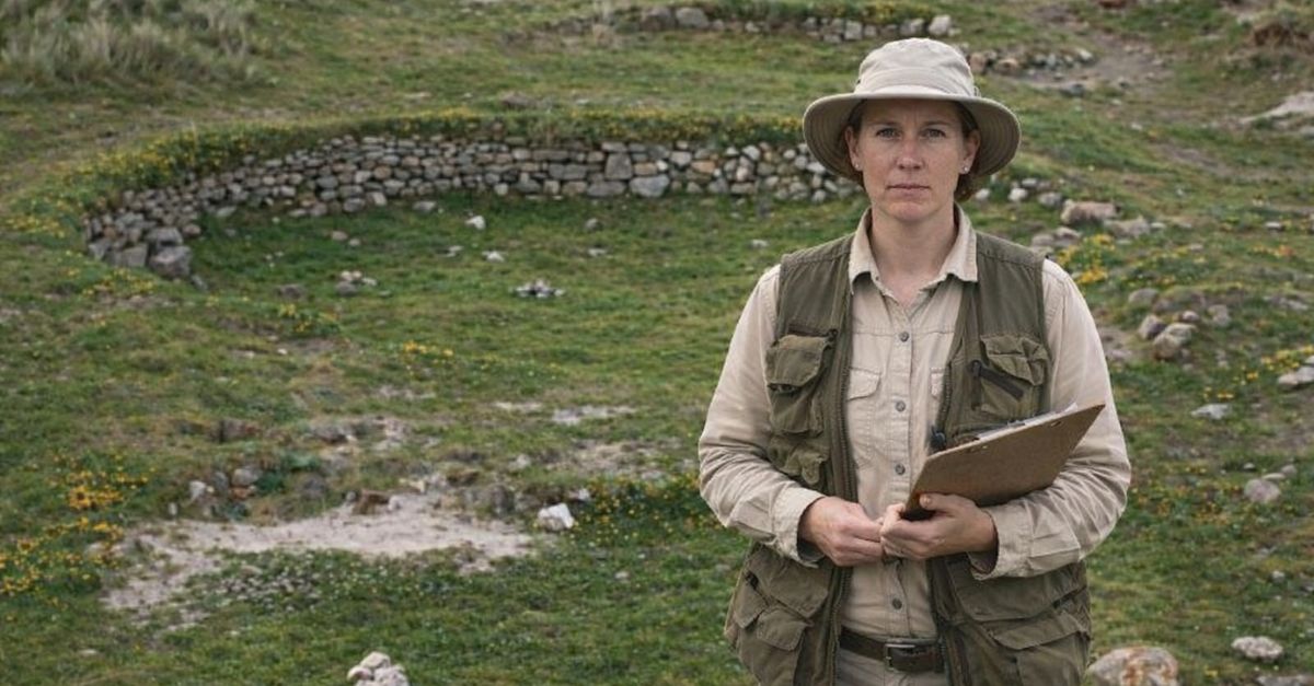
History, Underfoot
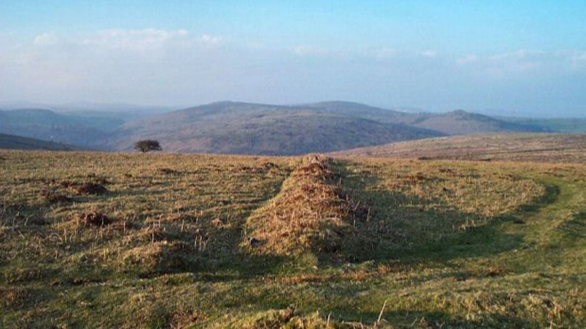
Ireland does not always shout when history shifts. This time, the land gave itself away slowly, through shapes that refused to behave like modern fields. What followed reshaped ideas about early life on the island. Curious? You should be. Keep going. This discovery changes the scale of the past in surprising ways.
 Anne Burgess / Bronze Age Settlement, Wikimedia Commons, Modified
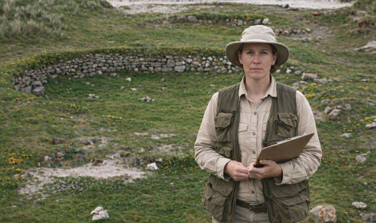
The Discovery That Changed Expectations
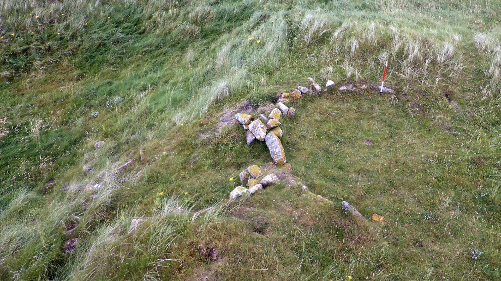
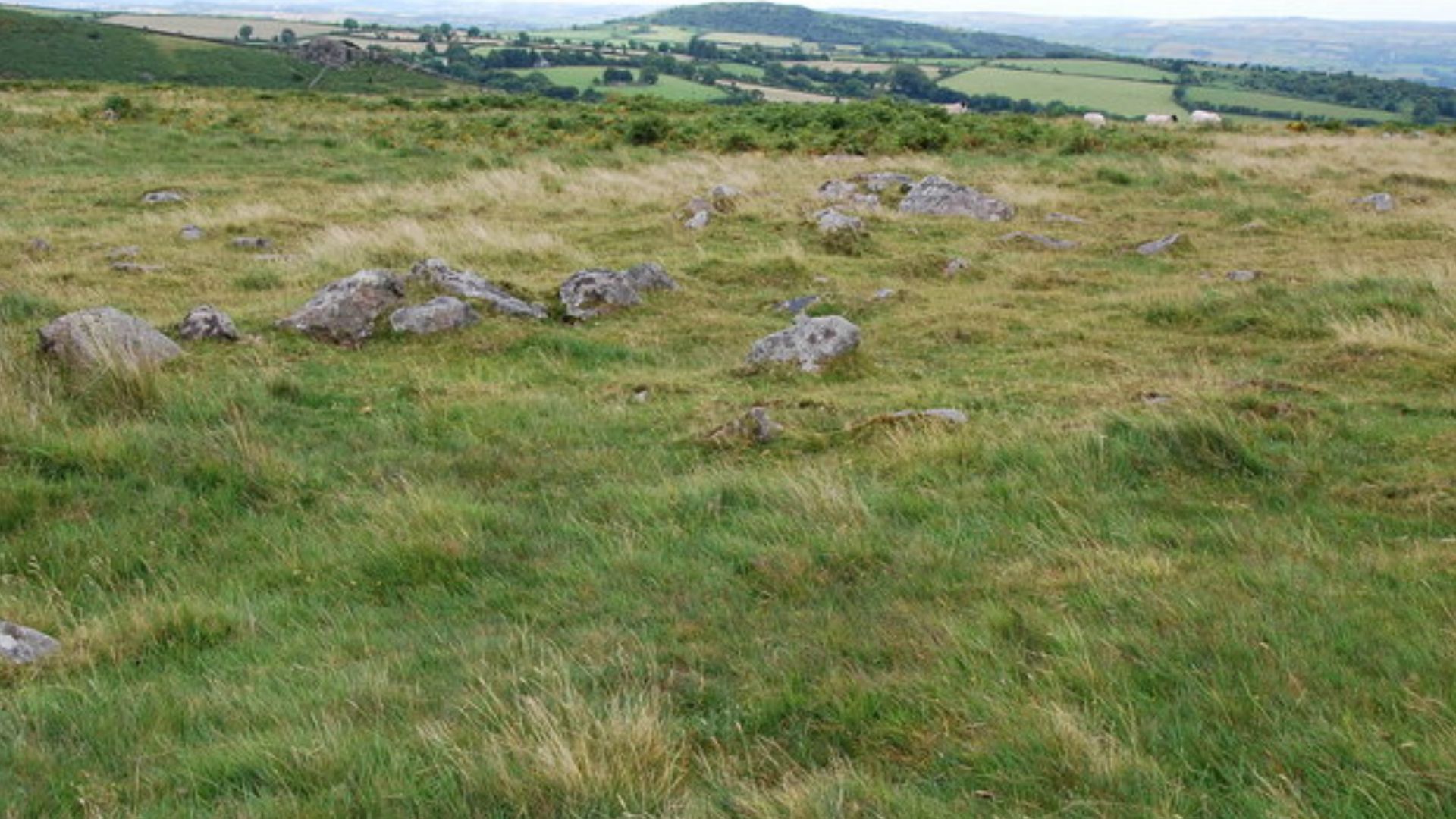
Initial surveys identified unusual ground patterns, but further analysis revealed a prehistoric site far larger than anticipated. Researchers recognized coordinated construction across a wide area rather than isolated features. Its scale immediately separated it from routine discoveries and suggested a level of organization rarely associated with early Ireland.
 Ridiculopathy, CC0, Wikimedia Commons
The Strategic Importance of the Location
The site lies on fertile land with access to water routes and broad visibility across the surrounding area. These conditions supported early agriculture and movement. Such locations were typically reserved for long-term use, especially when repeated visits and sustained labor would have been required over generations.
 Ridiculopathy, Wikimedia Commons
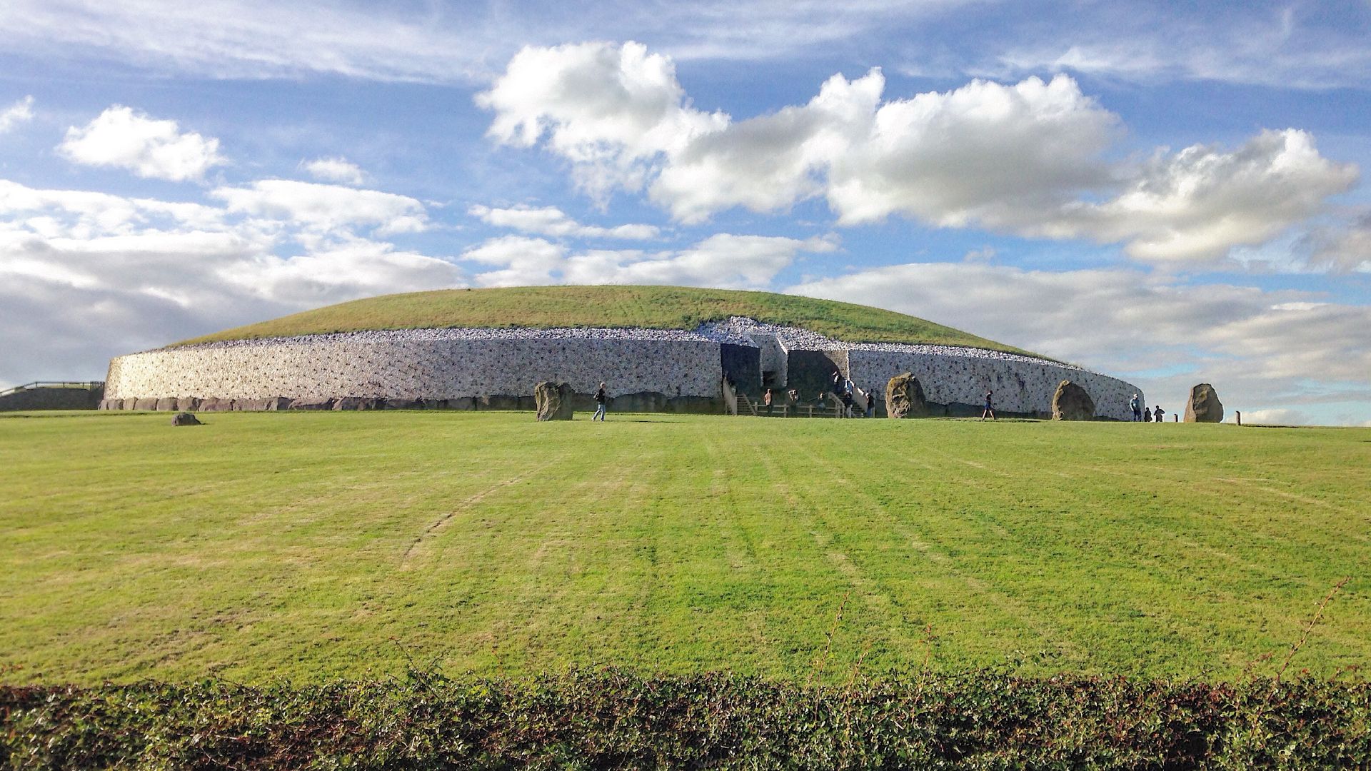
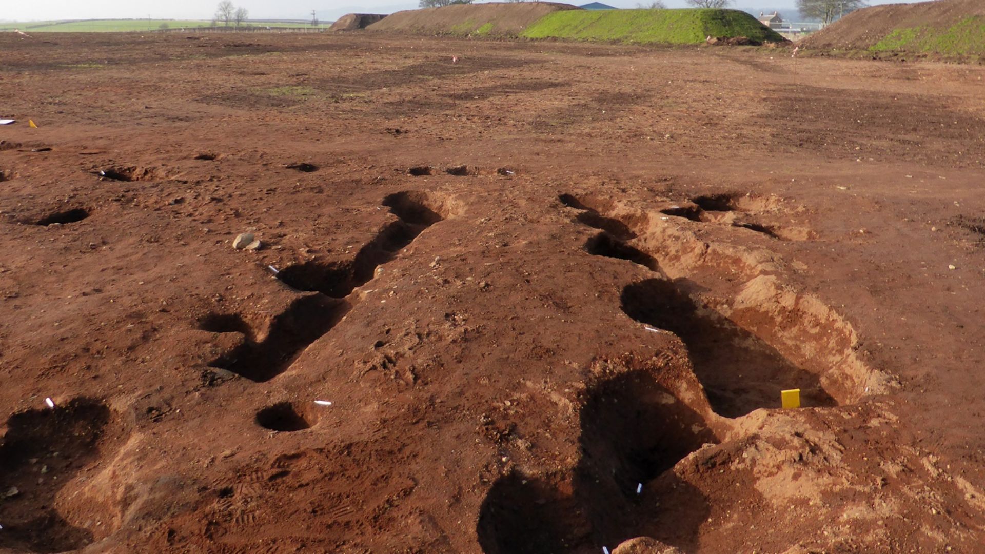
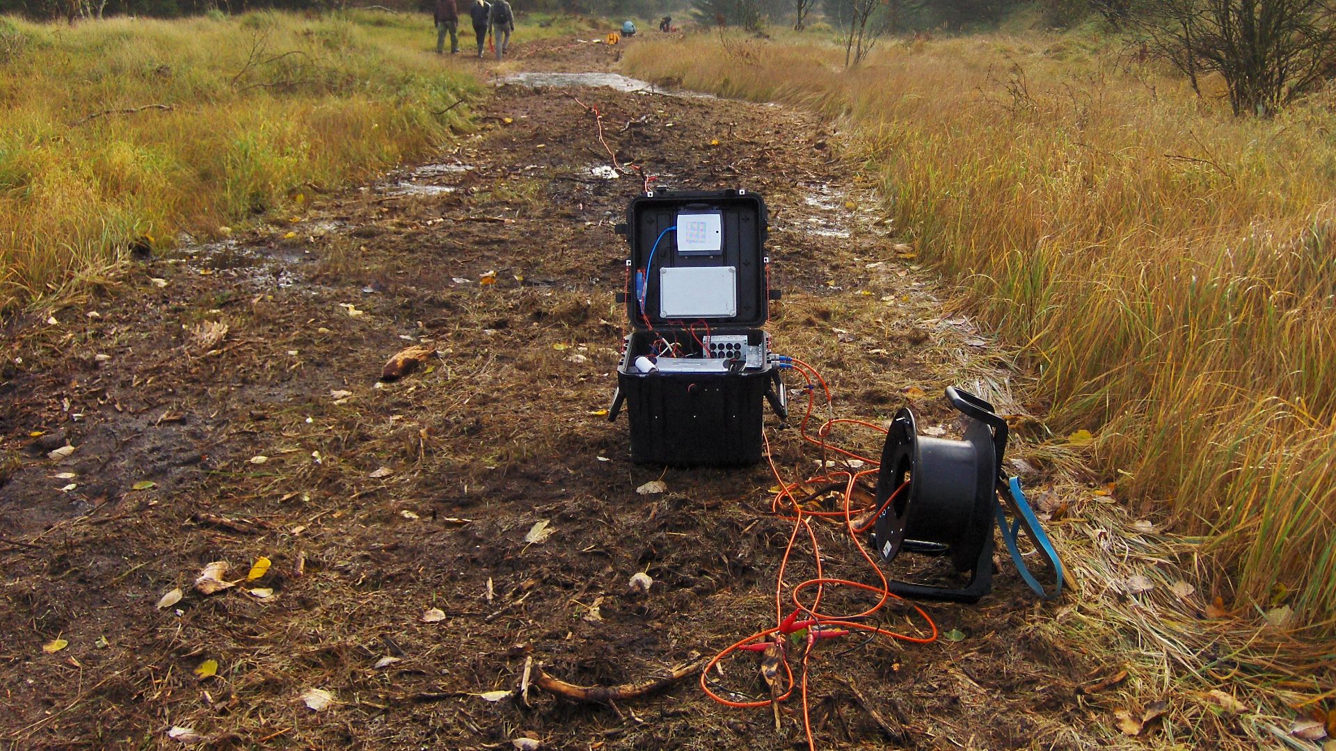
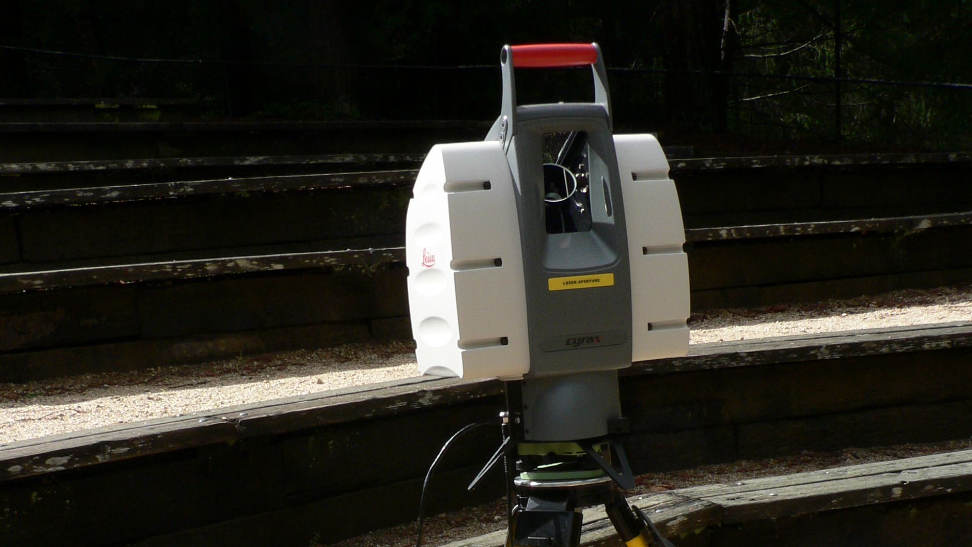
Technology Made the Site Visible
Aerial photography and LiDAR scanning exposed buried ditches and enclosures invisible at ground level. Variations in soil depth and moisture further revealed connected patterns across the landscape. Mapping confirmed that the features belonged to a single complex, which allowed researchers to understand its scale without extensive excavation.
Dating the Monumental Landscape
Current evidence places the site within Ireland’s Late Bronze Age, roughly 1210–780 BCE. This period reflects dense settlement rather than early farming monuments. Published radiocarbon dates firmly support this timeline, with some later reuse into the Early Iron Age, situating the complex among significant later prehistoric terrains.
What Size Reveals About Society
Covering multiple enclosures, the site extends beyond most documented Irish prehistoric monuments. These conditions suggest cooperative social structures capable of coordinating large projects rather than small, short-term efforts.
Evidence of Planned Design
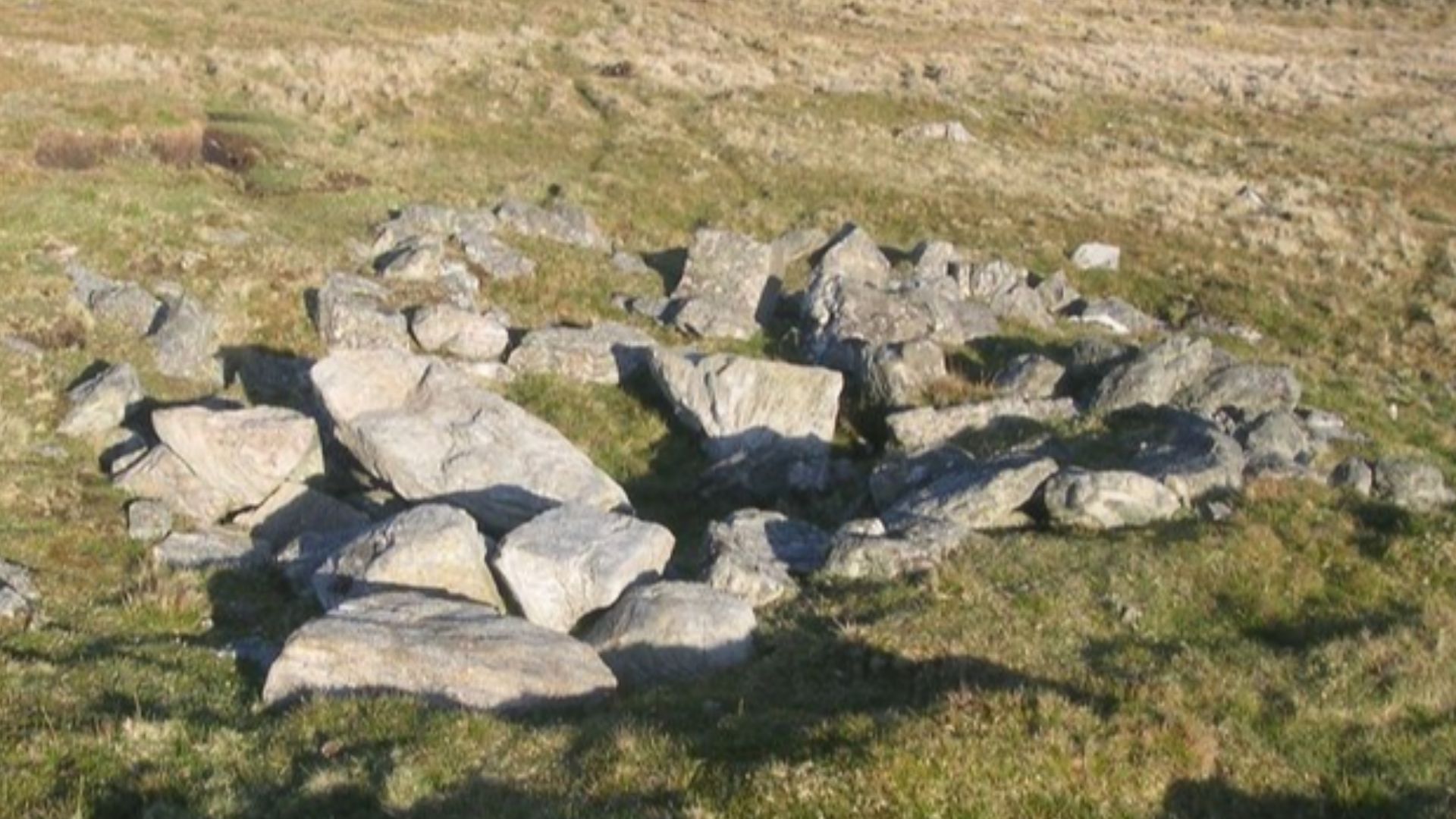
Across the site, earthworks follow repeated forms and clear alignments. Ditches and banks create enclosed zones that do not emerge by chance. The repetition shows that builders worked from a plan, shaping the area deliberately instead of altering it through piecemeal activity.
 Sandy Gerrard , Wikimedia Commons
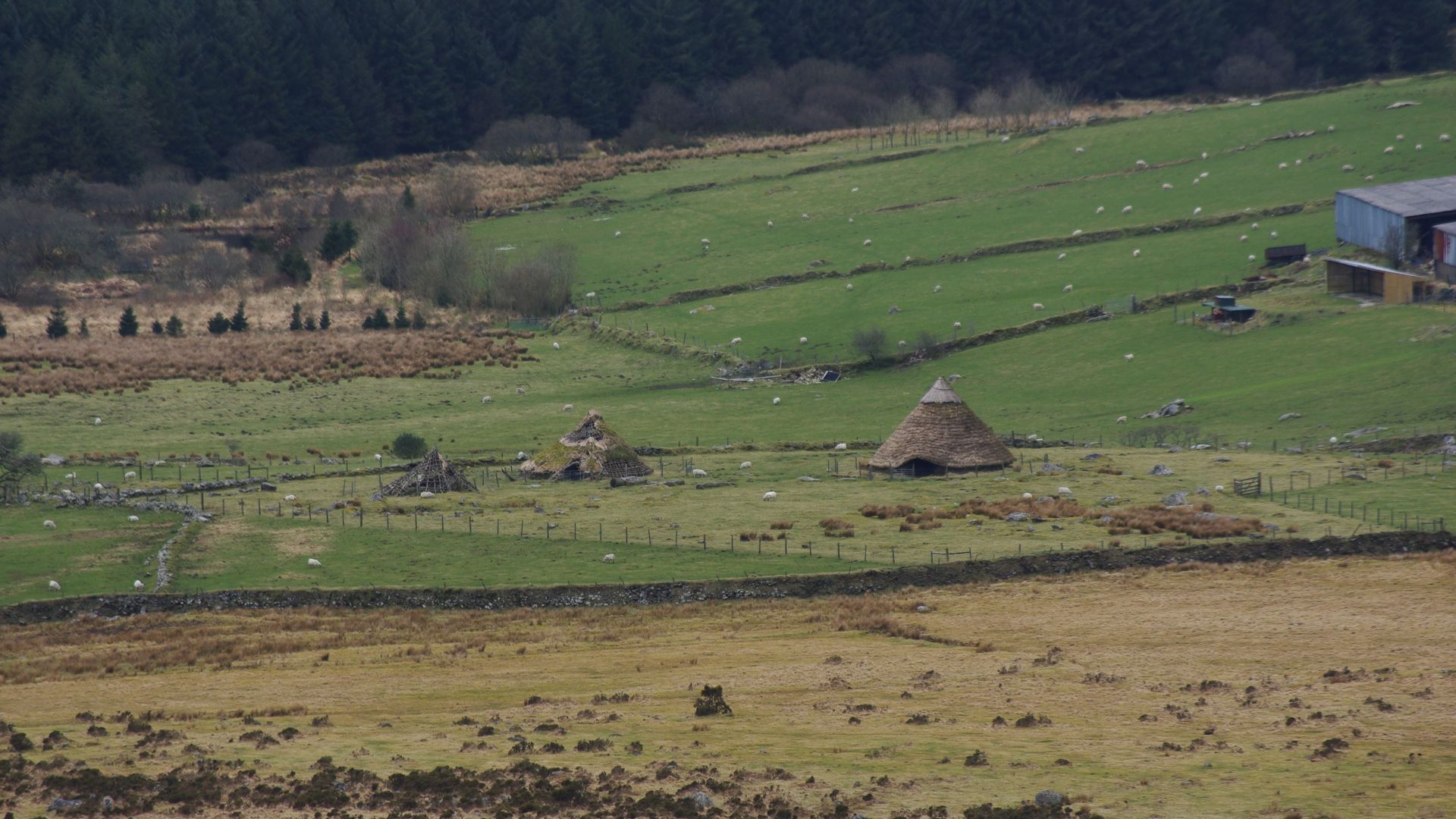
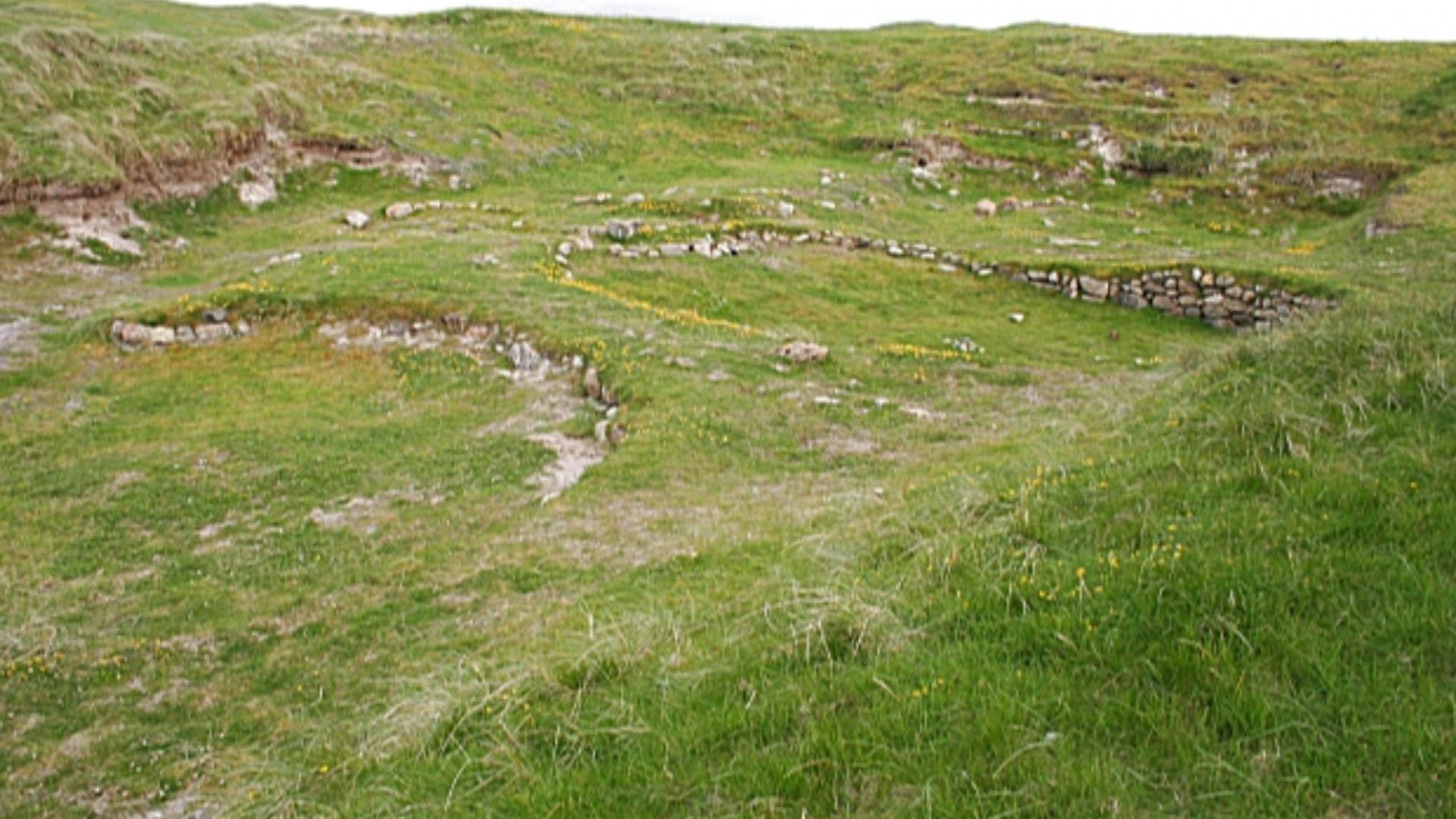
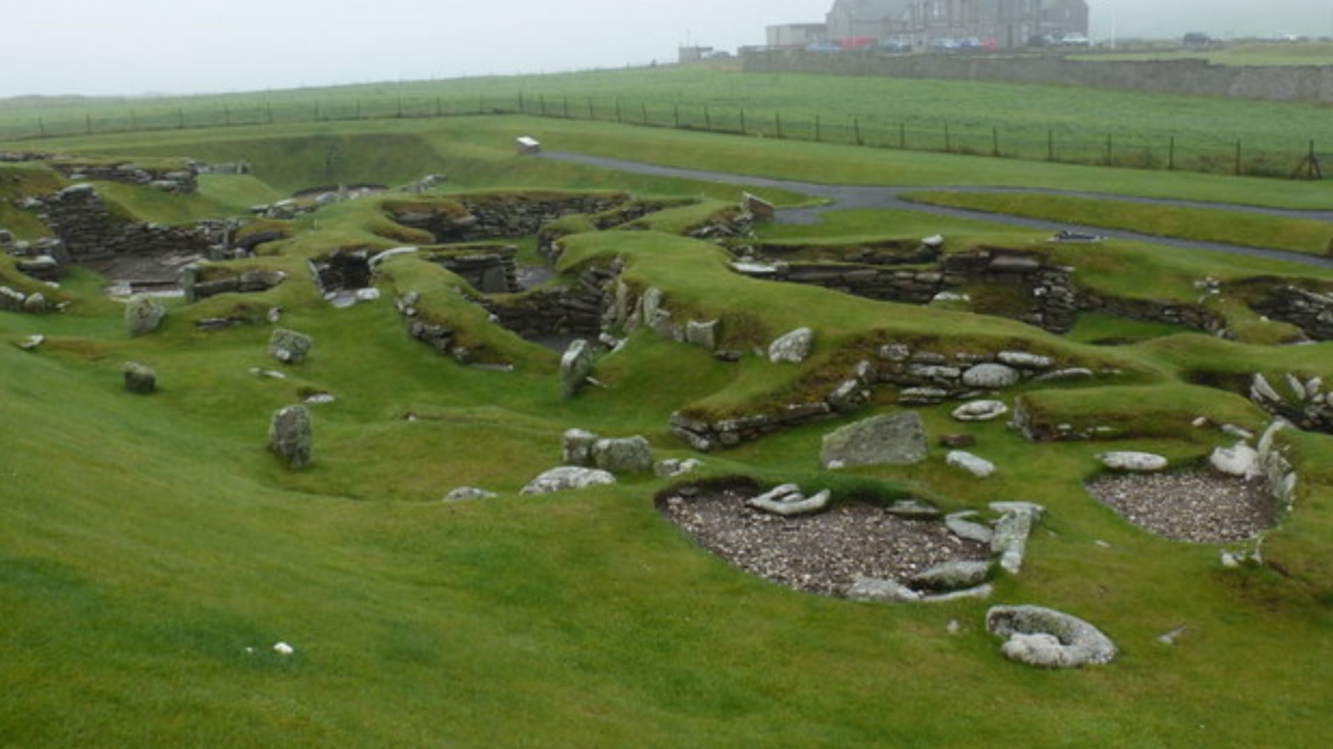
Why It Was Not a Settlement
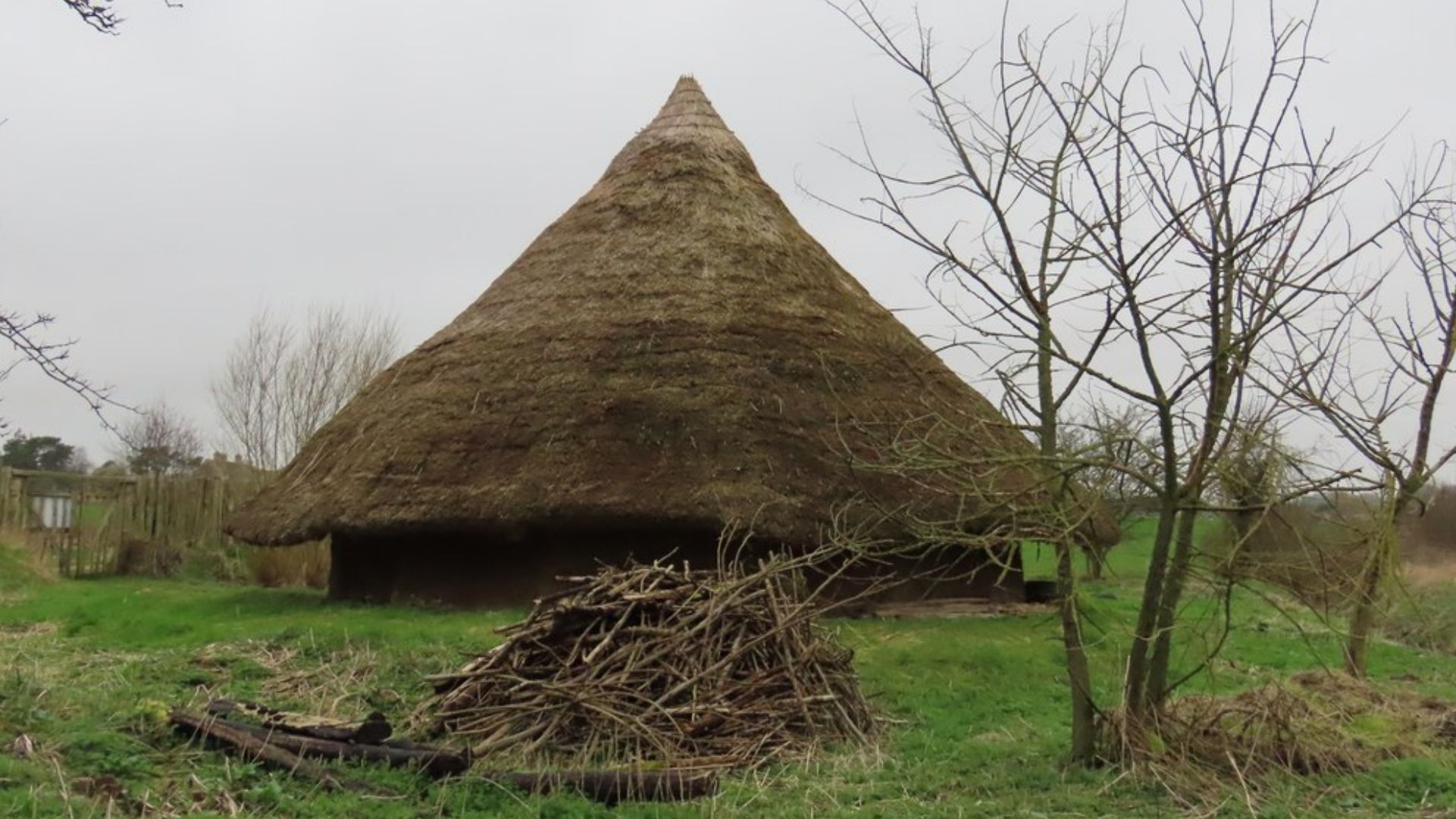
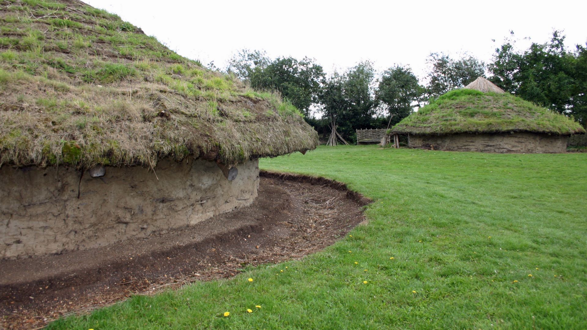
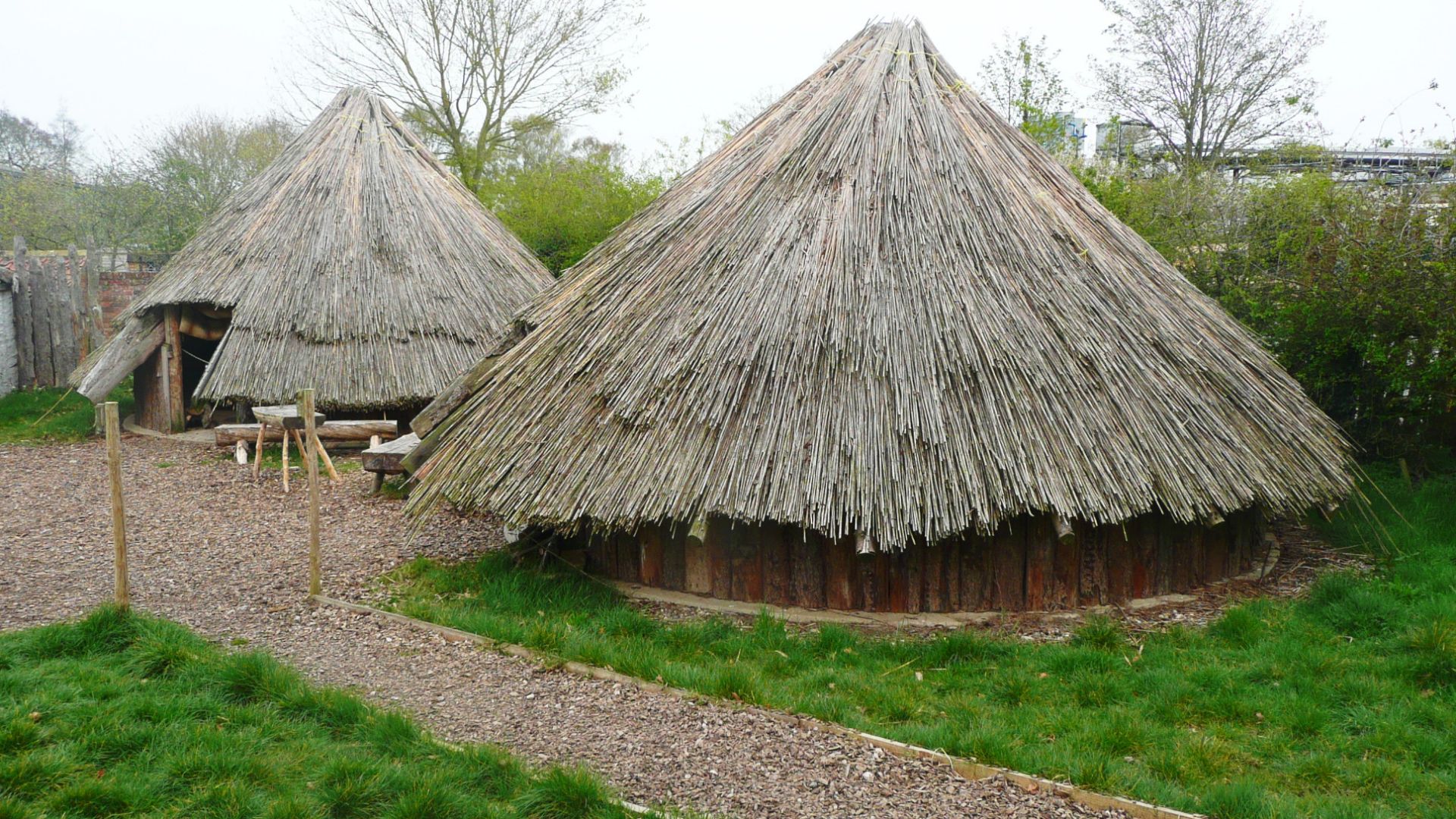
Archaeologists have identified extensive evidence of permanent habitation. Over 600 house platforms cluster within the enclosure, many with stone-packed floors, stake holes, and hearths. Fire events and layered surfaces point to repeated use and maintenance, which places the site among dense long-term residential communities rather than occasional or specialized use.
 Sandy Gerrard , Wikimedia Commons
Activities That Took Place On-Site
Burnt material and hearth evidence point to repeated domestic fire use tied to daily living rather than symbolic action. These traces reflect cooking, heating, and household routines within a long-term settlement. Current findings align with Late Bronze Age to Early Iron Age habitation and proto-urban community life rather than ritual gatherings or specialized communal events.
 Matthew Chadwick , Wikimedia Commons
Timing and Seasonal Use
The site shows signs of continuous habitation. Over 600 house platforms with hearths, floors, and post settings confirm permanent dwellings and daily use. Farming cycles may have shaped life here, but occupation was sustained rather than seasonal or intermittent.
 Jo and Steve Turner , Wikimedia Commons
Organizing Labor at Scale
Constructing and maintaining the site required sustained effort from many people. Earthmoving on this level demands planning, task division, and leadership. The labor investment implies cooperation across extended communities, offering insight into how early societies managed complex projects without centralized states or written systems.
 Humphrey Bolton , Wikimedia Commons
What This Site Says About Population Size
Most known Neolithic sites in Ireland show limits consistent with small, local populations. This complex exceeds those thresholds. Its footprint aligns more closely with sites built by aggregated communities, where participation extended beyond immediate households and drew people from surrounding regions.
 Richard Knights, Wikimedia Commons
Materials and Construction Methods
The site was built primarily using earth rather than stone, a choice shaped by local geology and available resources. Ditches were cut and soil piled to form banks. The method allowed large areas to be enclosed quickly without transporting heavy materials across long distances.
 Sandy Gerrard , Wikimedia Commons
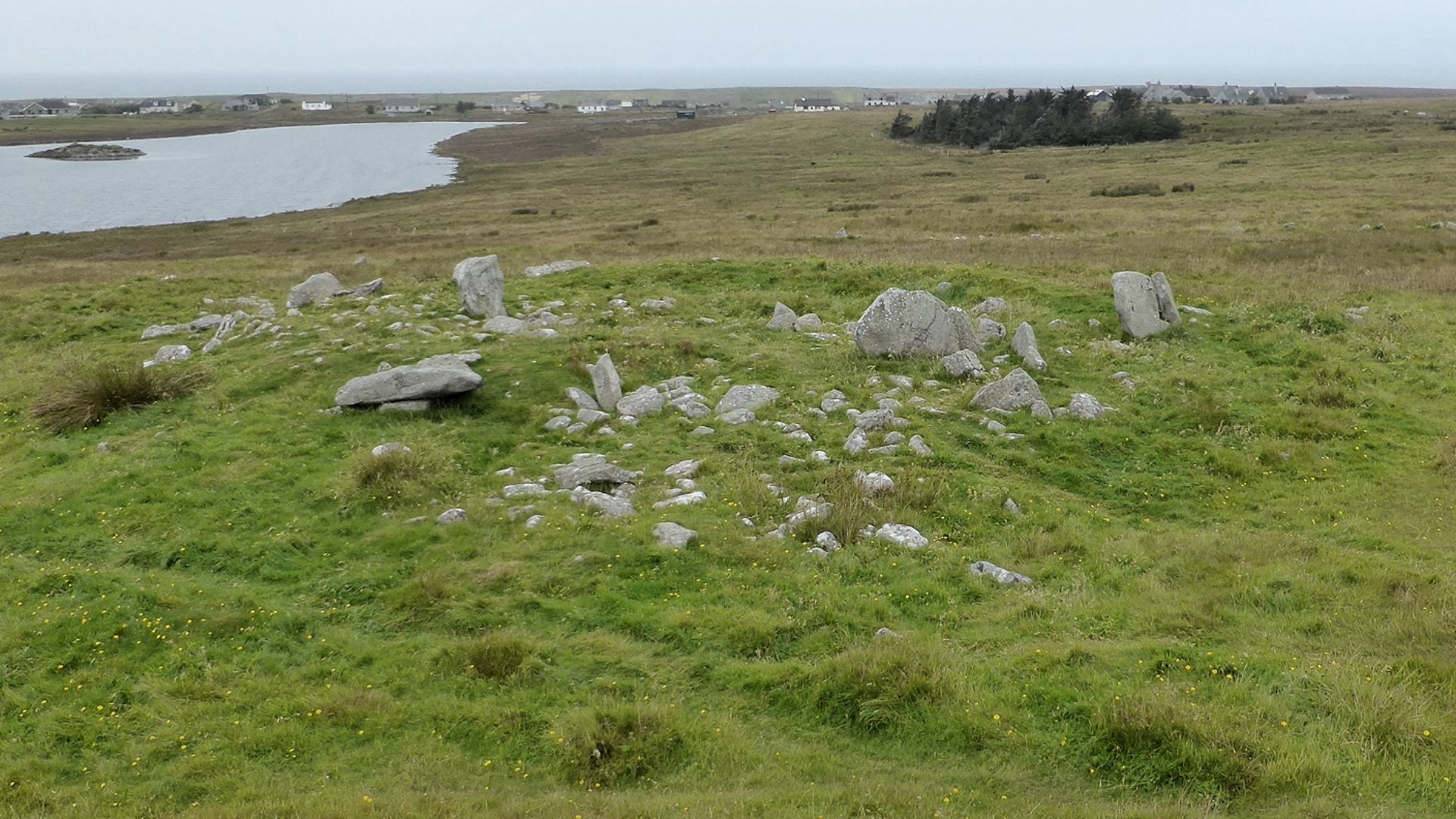
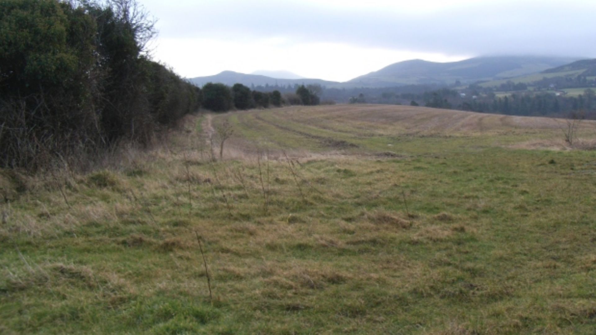
Relationship to Other Nearby Monuments
The complex does not exist alone. It sits within a network of smaller prehistoric features spread across the surrounding region. This pattern points to a connected ceremonial landscape, where multiple sites likely functioned together, each playing a specific role within a broader cultural system.
 Simon Carey, Wikimedia Commons
Limits of Current Interpretation
Despite its scale, many conclusions remain provisional. Large portions of the site remain unexcavated, and geophysical data cannot reveal everything. Archaeologists rely on comparison, pattern recognition, and restraint, avoiding claims that cannot yet be supported by material evidence.
 Anne Burgess, Wikimedia Commons
Why Comparisons Must Be Careful
Although the site rivals major European complexes in size, direct comparisons remain difficult. Differences in materials and preservation shape how monuments survive. Some, therefore, compare structure and organization, not surface appearance, when assessing how unusual this discovery truly is.
 Chris Downer , Wikimedia Commons
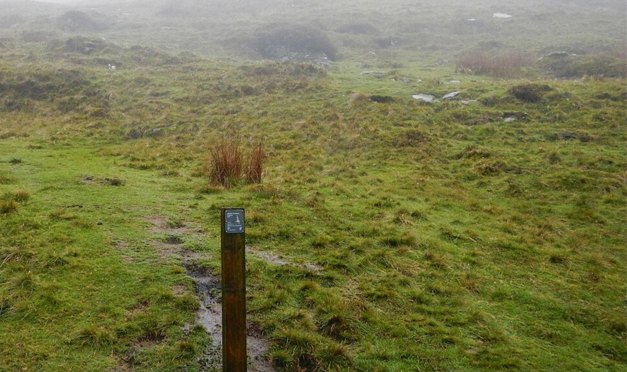
Why the Site Stayed Undetected for So Long
Most of the complex sits just below the plow zone, where centuries of agriculture softened its outlines. Erosion gradually flattened earthworks, blending them into the surrounding fields. So, without aerial survey and geophysical mapping, the site produced few visible signals to attract attention.
 K.ristof, CC BY-SA 3.0, Wikimedia Commons
What Non-Invasive Surveys Can and Cannot Show
Geophysical tools reveal ditches, banks, and soil disturbances, but they do not expose dates or precise functions. These methods outline shape and scale only. Interpretation still depends on selective excavation, comparative analysis, and careful restraint when evidence remains incomplete.
 LinuxChristian, Wikimedia Commons
Legal Protection and Preservation Limits
Once identified, the site fell under national heritage protection, restricting excavation and development. Preservation laws prioritize long-term survival over rapid study. As a result, much of the landscape will remain untouched, balancing research interest against the risk of irreversible damage.
How Archaeologists Test Competing Interpretations
Researchers compare this site with others using layout and construction methods, and regional context. Hypotheses are refined through peer review rather than headlines. Therefore, conflicting interpretations coexist until new data narrows the range of explanations supported by physical evidence.

Why This Discovery Alters Research Priorities
The site’s scale shifts attention toward large, interconnected landscapes rather than isolated monuments. Future surveys now target surrounding areas for related features. So, this approach reframes how Bronze or early Iron Age activity is mapped and contextualized across wider regions.
 jeff collins, Wikimedia Commons
Public Interest and Controlled Access
Discoveries of this scale quickly attract public attention, but access remains limited. Archaeological sites are vulnerable to foot traffic and unauthorized exploration. Authorities typically restrict visitation until proper documentation and preservation plans are in place, even when curiosity and media demand grow rapidly.
How Media Framing Shapes Understanding
Headlines often emphasize size or mystery, while academic work advances cautiously. This gap can distort public expectations. Experts, however, counterbalance simplified narratives by publishing incremental findings, clarifying uncertainty, and resisting claims that cannot yet be supported through material or comparative evidence.

Economic Interest Versus Conservation
Large prehistoric sites often raise questions about tourism potential. Increased visibility can bring funding and awareness, yet unmanaged exposure risks long-term damage. Heritage agencies must weigh economic benefit against preservation, frequently prioritizing protection even when public access could generate immediate revenue.
 Robert Sandison, Wikimedia Commons
Ireland’s Place in Atlantic Prehistory
The site strengthens evidence that Ireland participated in wider Atlantic networks during the Bronze Age. Monument styles, construction techniques, and landscape use share parallels with sites in Britain and parts of continental Europe, which points to shared knowledge traditions rather than complete cultural isolation.
 Mary and Angus Hogg , Wikimedia Commons
Why Discoveries Like This Are Rare
Large prehistoric areas rarely survive because later activity removes them. This site remained intact because a major disruption never followed its original use. As a result, buried features persisted long enough for modern survey methods to identify their scale.
 David Monniaux, Wikimedia Commons


.jpg)